Good morning from the edge of Cambridge’s Blair neighbourhood. I will be following Doon Creek and some other random watercourses. First, I will be looking for any glimpses of Bechtel Creek. Let’s go.
Bechtel Creek is mostly hidden on private property, so there’s only a couple glimpses of it before it goes into the Grand.

Next up is Blair Creek. It has a large catchment, though much of it is rural. Even calling this lower reach “urban” is a stretch. Nonetheless, you can find its confluence with the Grand River along the Great Trunk Trail, near the Blair Road / Fountain Street roundabout.


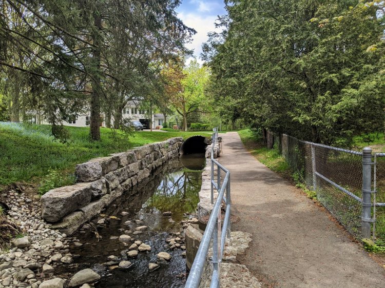
The creek does a funny thing, going under Fountain twice and around the roundabout before going west under Blair Road. There a neat stone arch here.


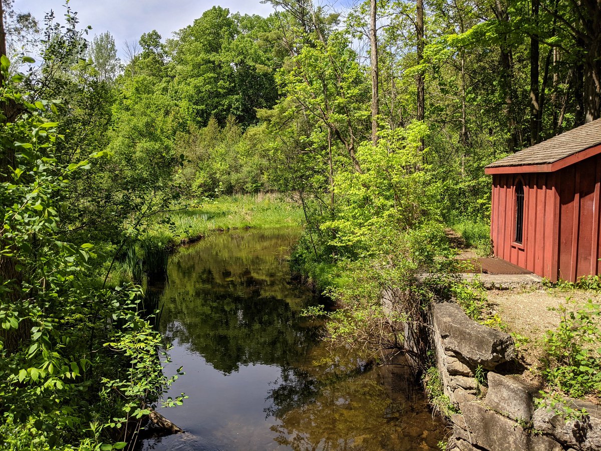
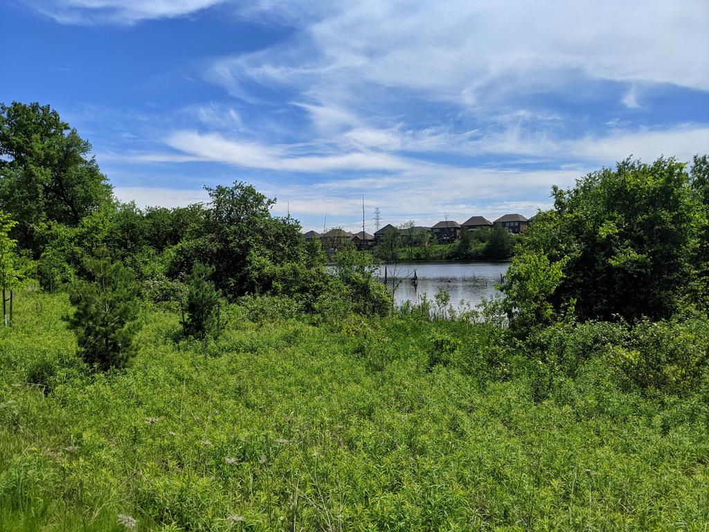
The best views of Blair Creek are at Sheave Tower, an old mill that was restored in 2000. You can still see the old mill pond from it being dammed up, which is now a good quality wetland.

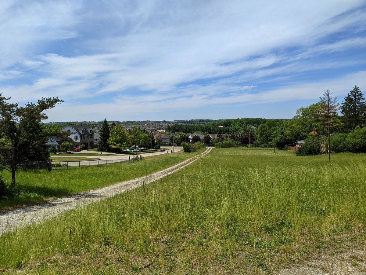
One last glimpse of Blair Creek until it heads into the countryside. The headwaters do cross back into Kitchener’s urban boundary, but it’s entirely greenfield area right now, slated for new subdivisions. Maybe one day I’ll be able to go explore those reaches.

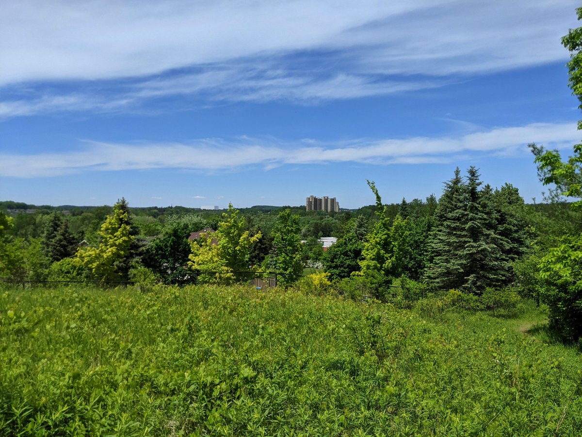
Across the highway to one of my favourite spots in the Tri-Cities: Pinnacle Hill. It’s probably the biggest/tallest hill in the area. I climbed this for the first time in the winter last year, it’s cool to see it in summer green.


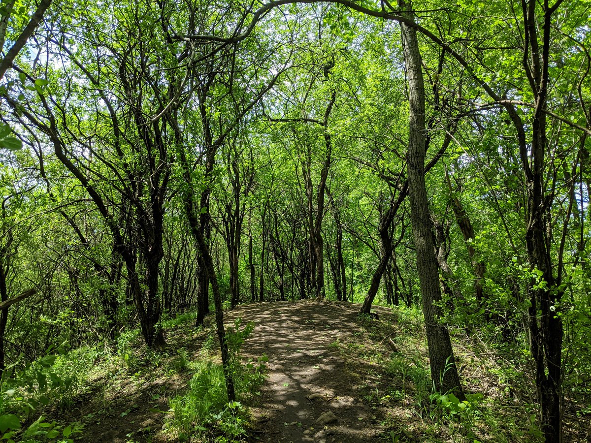
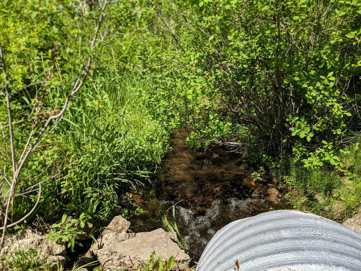
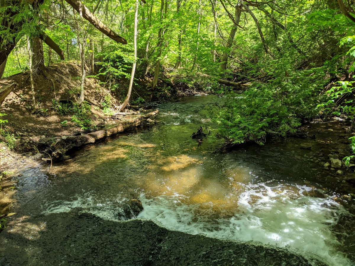
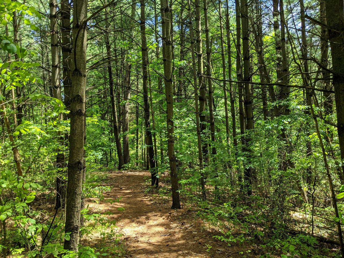
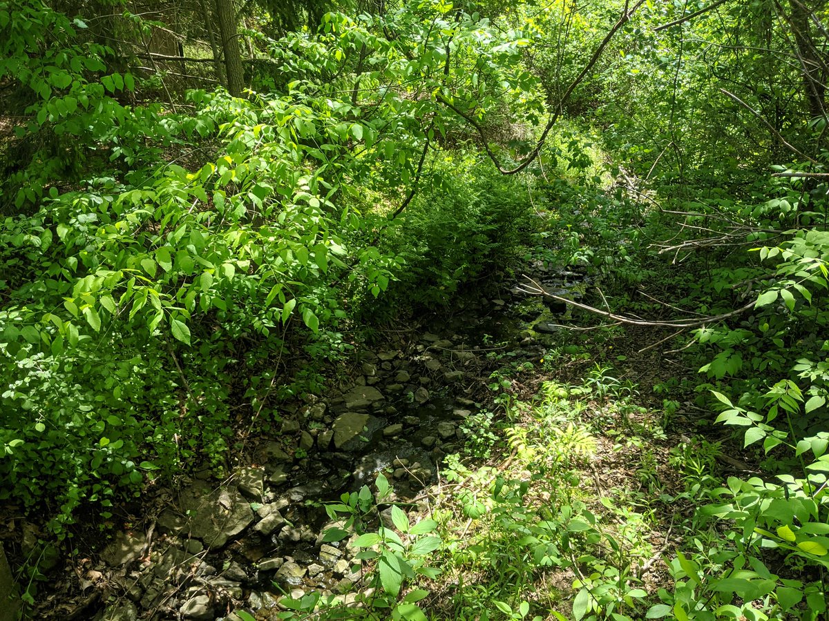
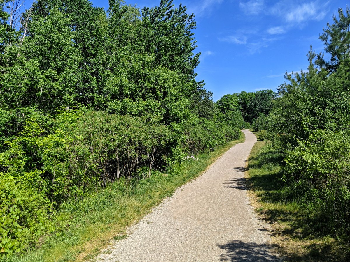
Next: School Creek. Thought there would be some bushwhacking involved, but turns out there’s a hiking trail. First reach has no defined bed and bank, it appears to be groundwater seepage from the same moraine that makes up Pinnacle Hill. Becomes defined further downhill.
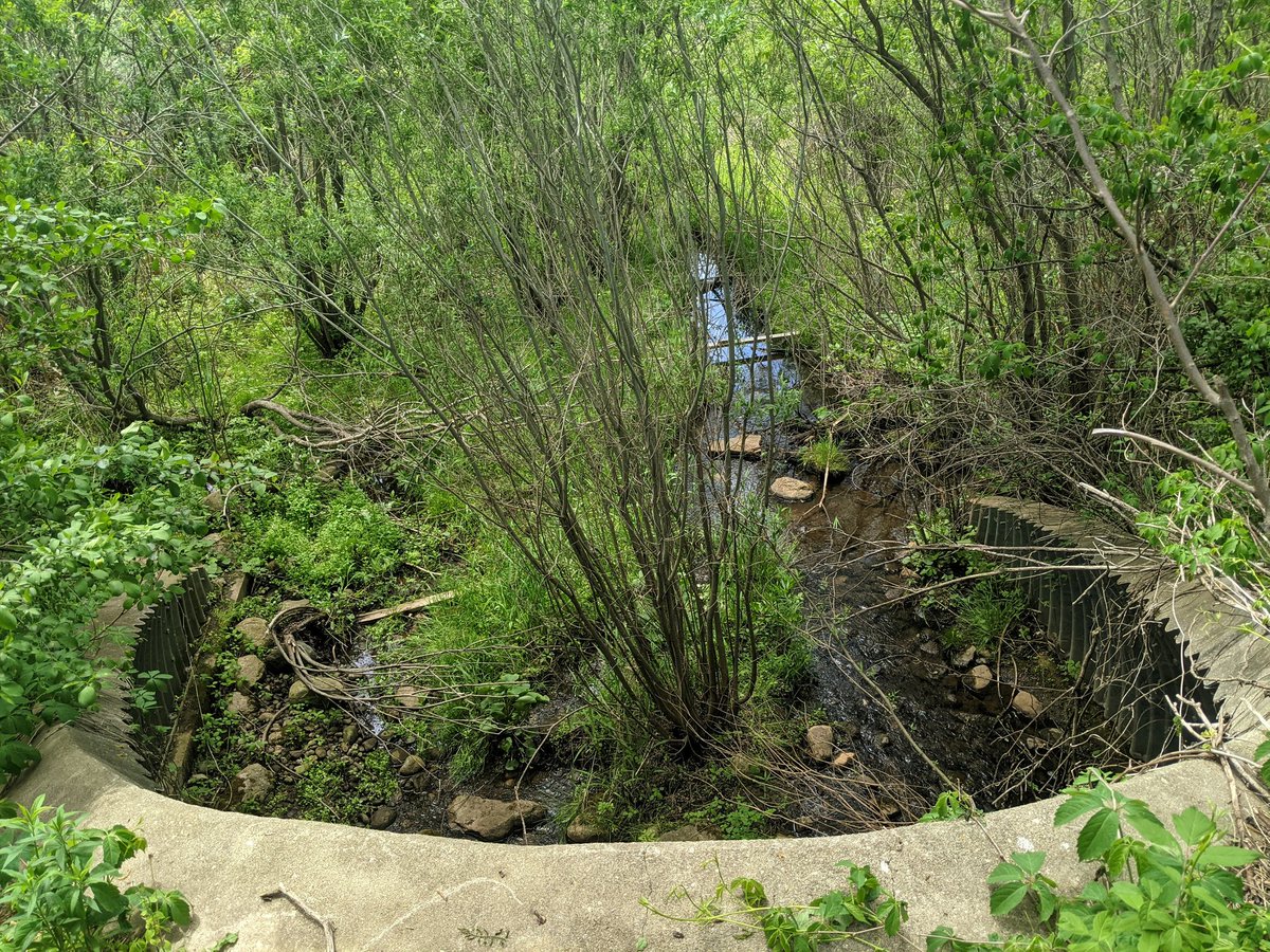
Wouldn’t you know it, School Creek happens to trickle by a school. Anyway, it comes into a stormwater management area, before going into Schneider Creek.


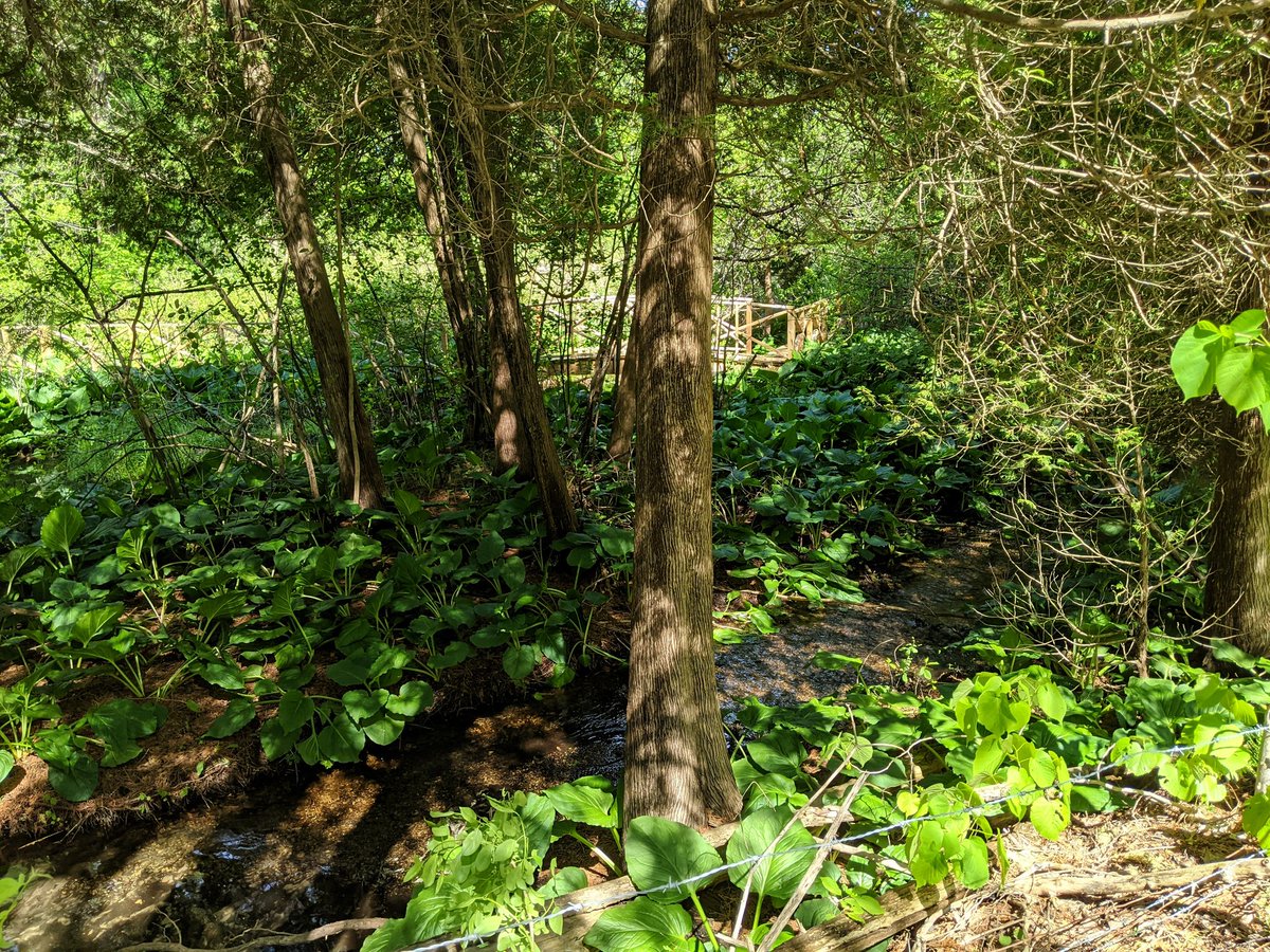
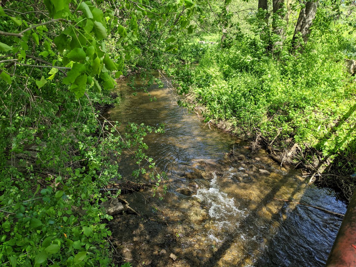
Finally, I have made it to the headliner…sorta. Doon Creek meets Schneider Creek somewhere upstream of the School Creek confluence, and with no trails and private property abound, I can’t see it. I barely found where it crosses the next road.

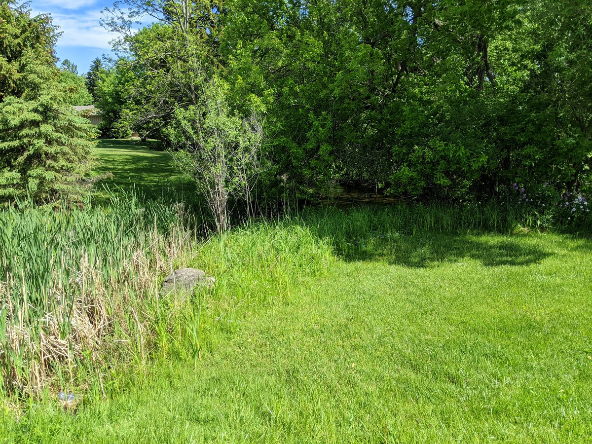
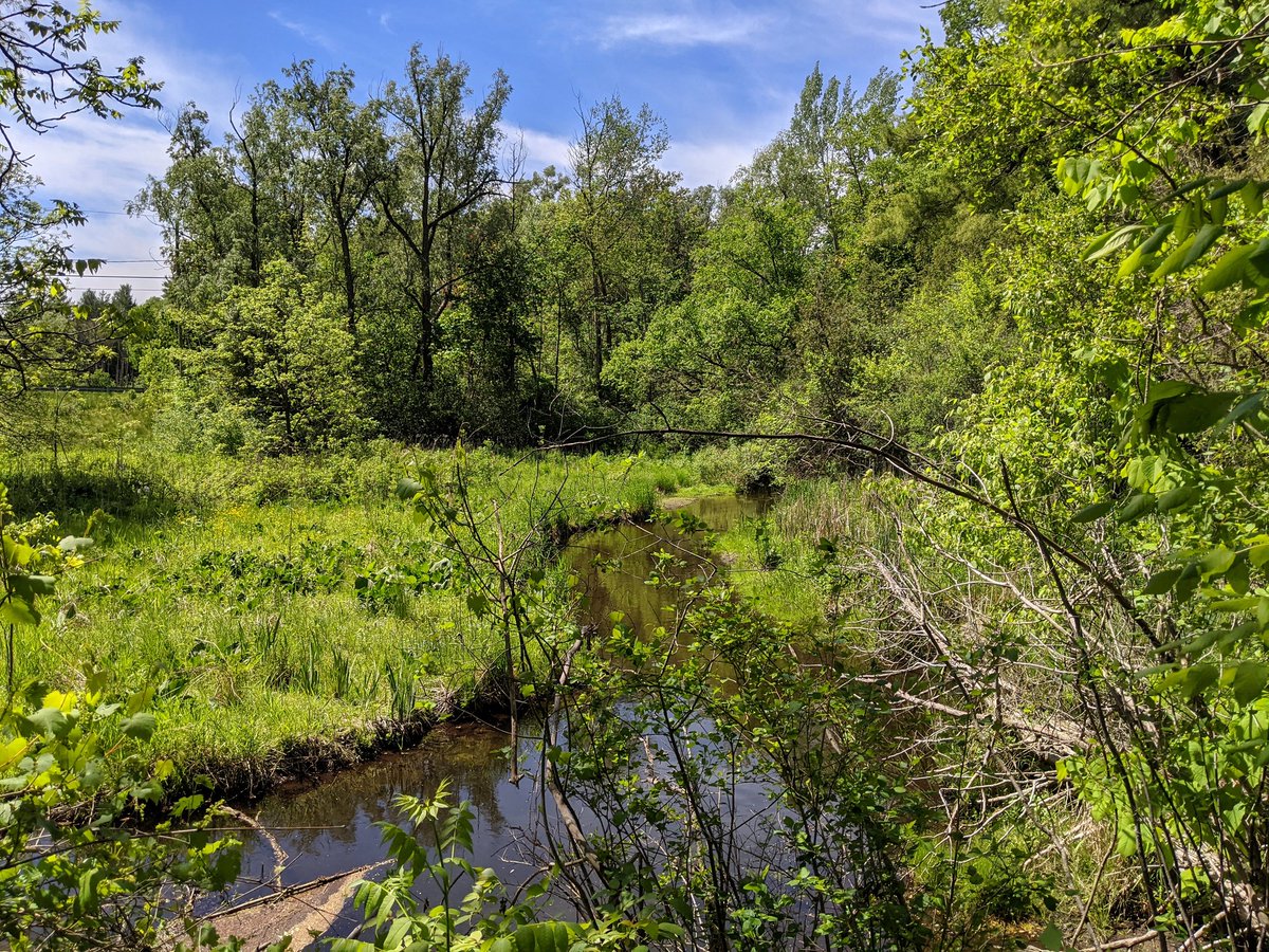
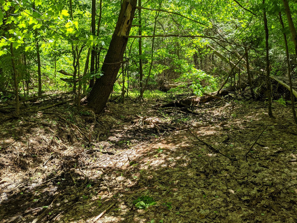
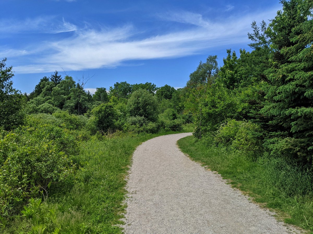
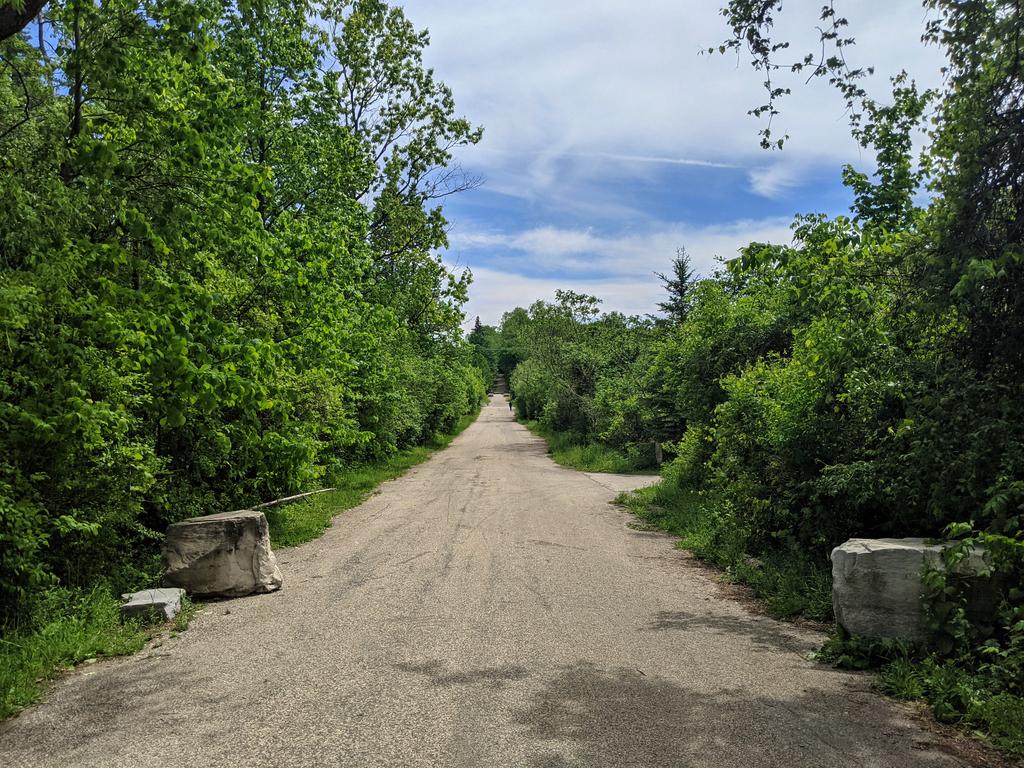
Views of the creek itself are limited, it’s one that’s buried in tall wetland vegetation, and the trail is off to the side of it all. And that’s fine. As long as I am walking on a parallel offroad trail in the riparian zone, I’m happy.


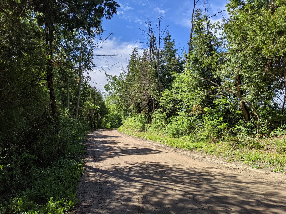
Some rural lanes still exist here, now making up part of the trail network. Upper reaches of Doon Creek are just quasi stormwater wetlands. Doing quite well, even after such a dry May.


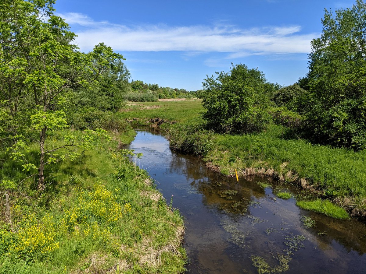
That about does it for the main branch of Doon Creek. At this point, the suburbs are still under construction, and we’re straddling catchments for West Schneider Creek and those rural headwaters of Blair Creek. Looping around to get a peek at any tributaries.


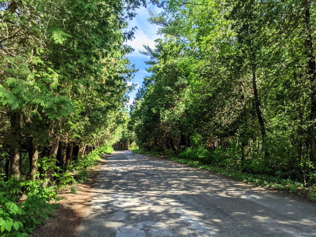
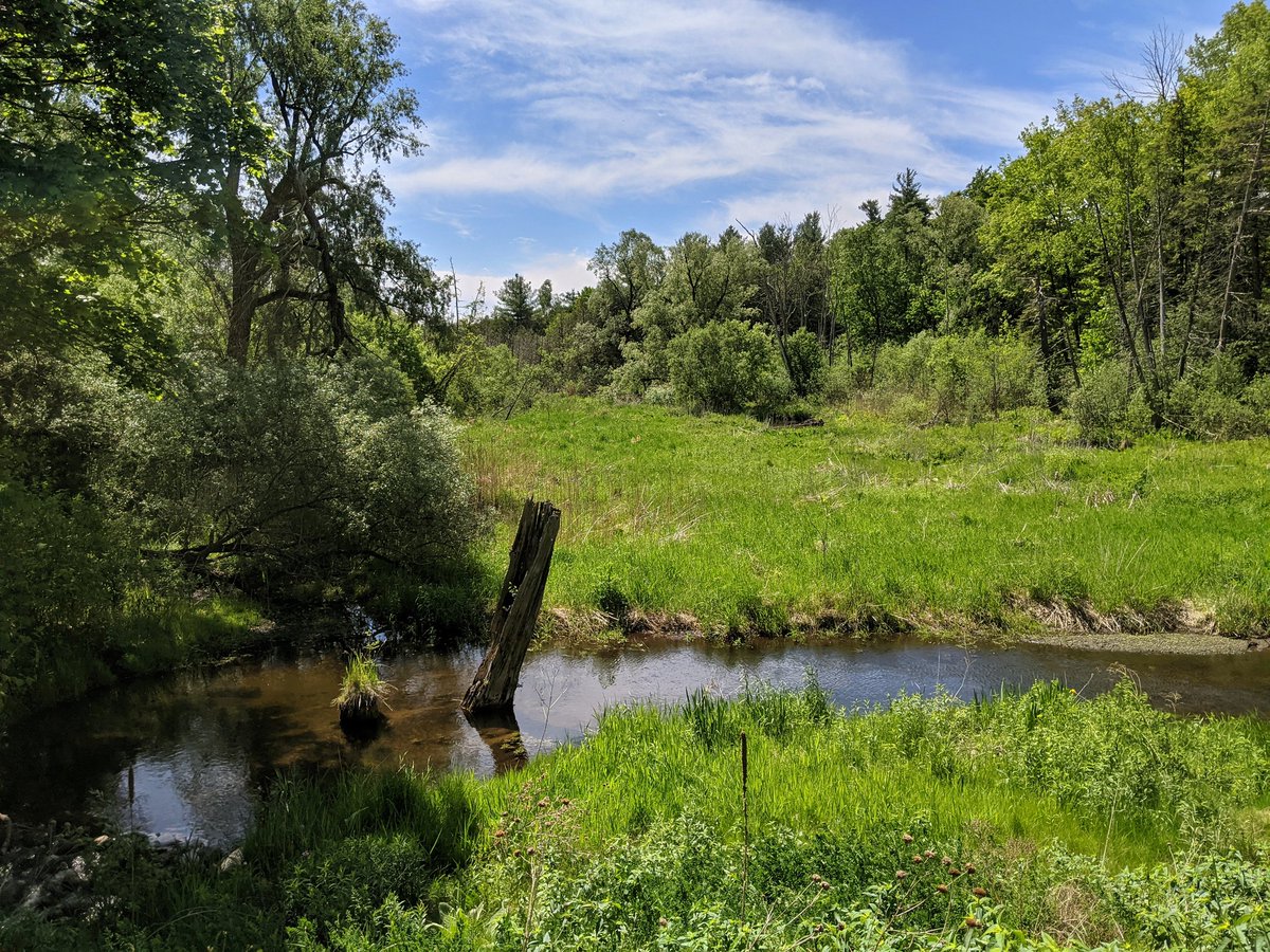
At the watershed divide. Another rural laneway turned suburban trail leads to stormwater management ponds by the hydro corridor. The water works its way into a trickle.


Some definition to the creek, but it’s lost in thick wetland again. Eventually makes its way to Doon Creek north of Robert Ferrie Drive.


Tried to see one more tributary, but all I can see is thick brush. That’s going to be it for today.


Date: May 29, 2021
Length: 19.9 km
Type: Riverine