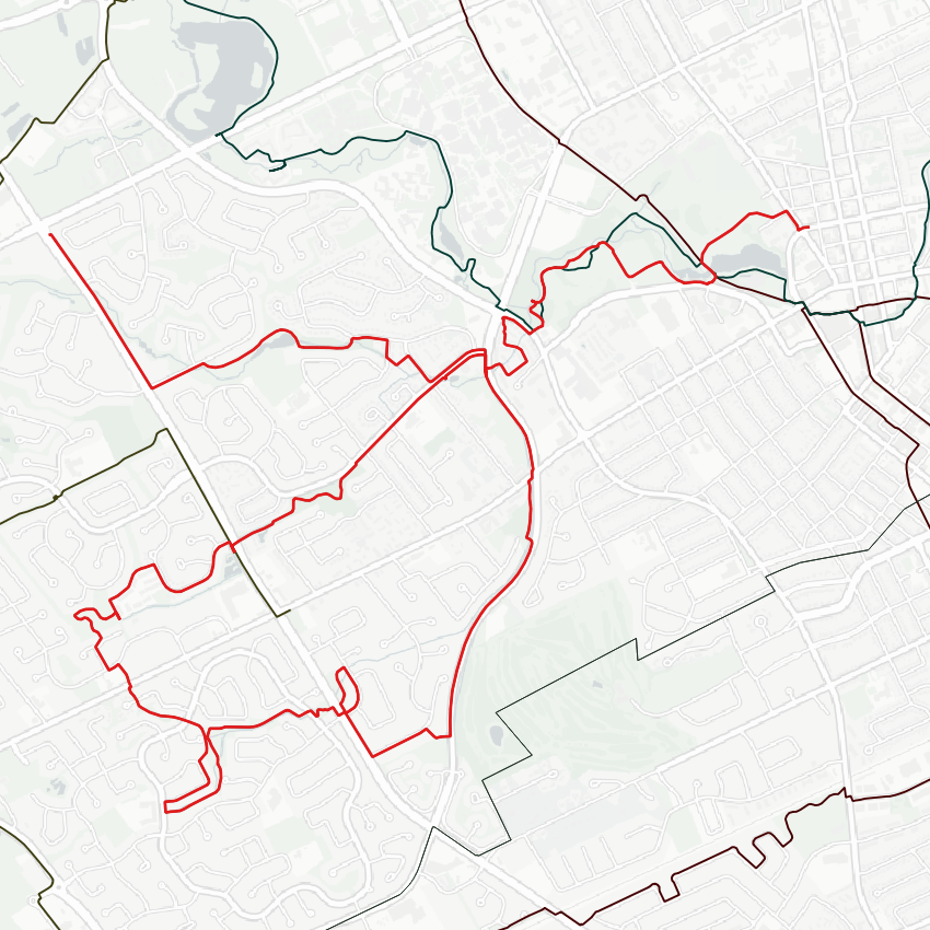
Good morning from southcentral Waterloo. Today I’ll be tracing Clair Creek and its tributaries. I’m starting off downstream of Clair’s confluence with Laurel Creek, at the edge of Silver Lake. Let’s go.


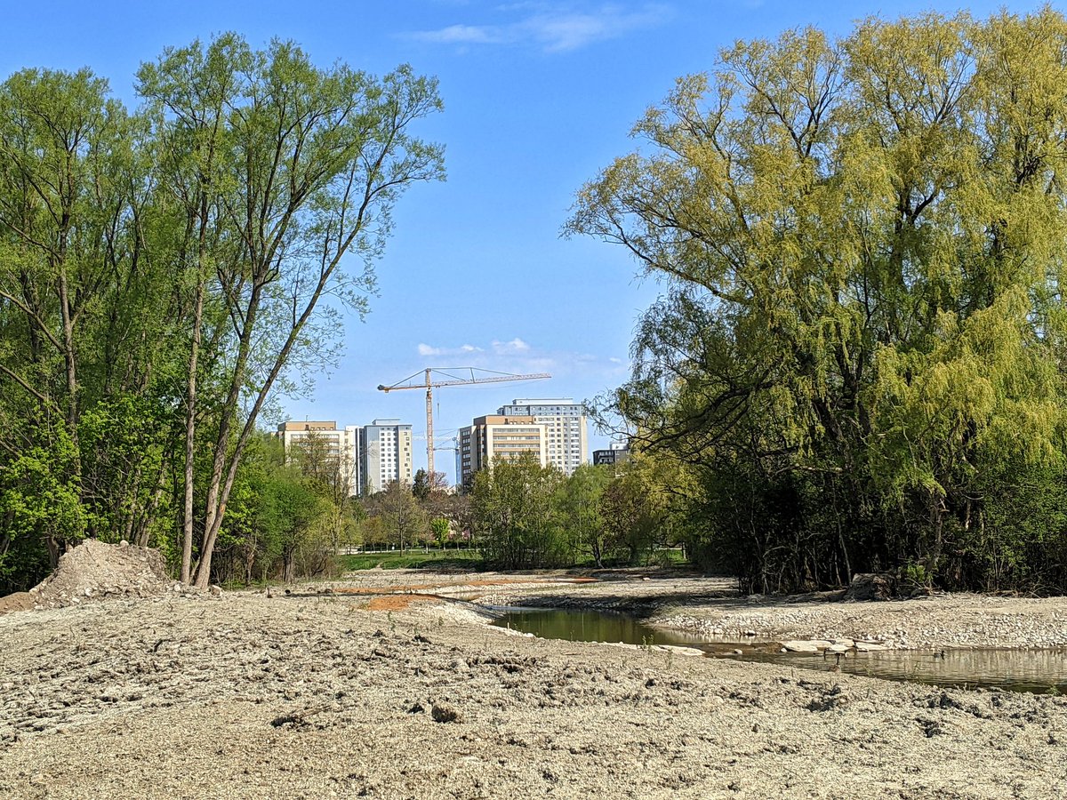
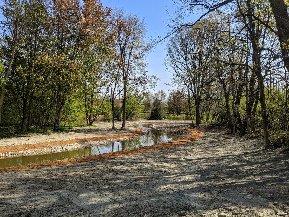
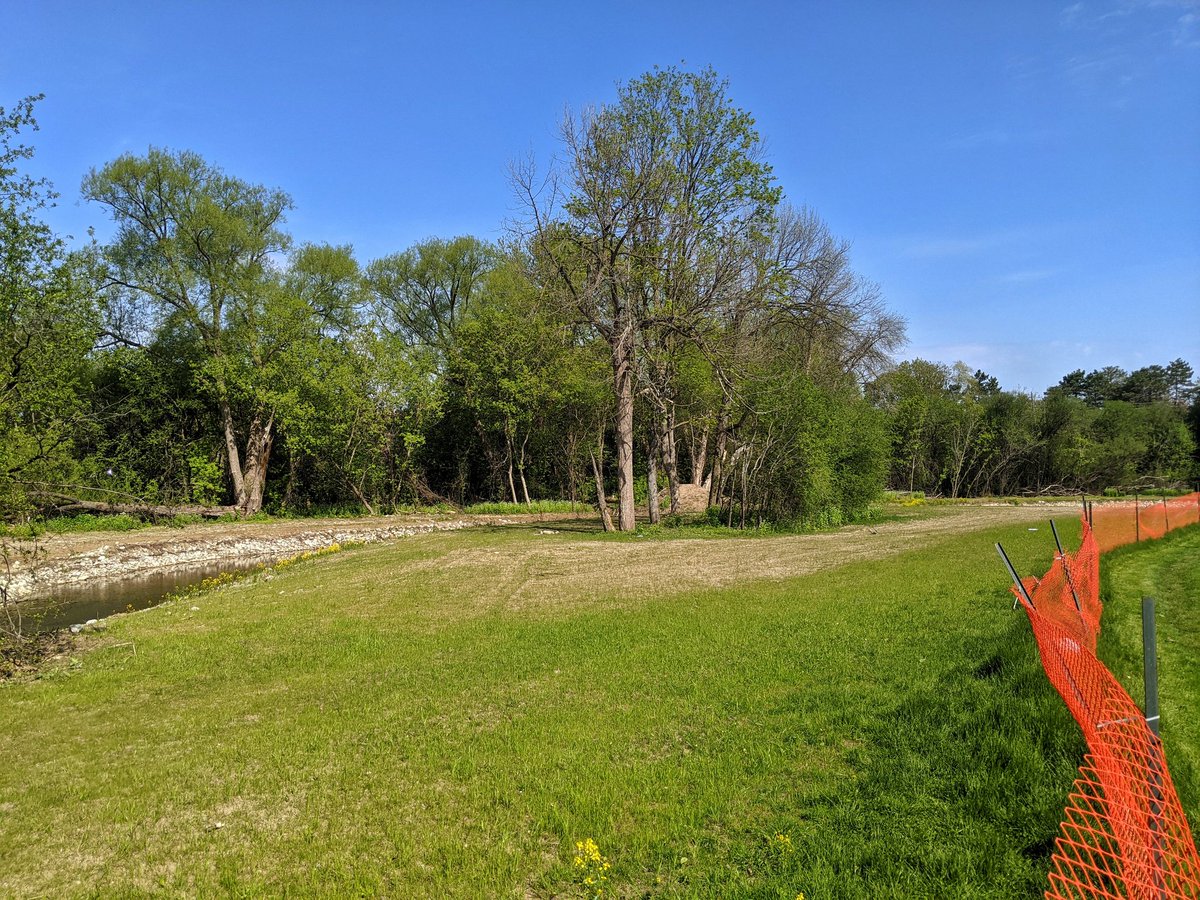
On my way to the confluence, I get a glimpse of rehabilitation work at Laurel Creek and Silver Lake. It’s still a mess, but was recently hydro seeded and planted, so it’s going to look great in a couple years.

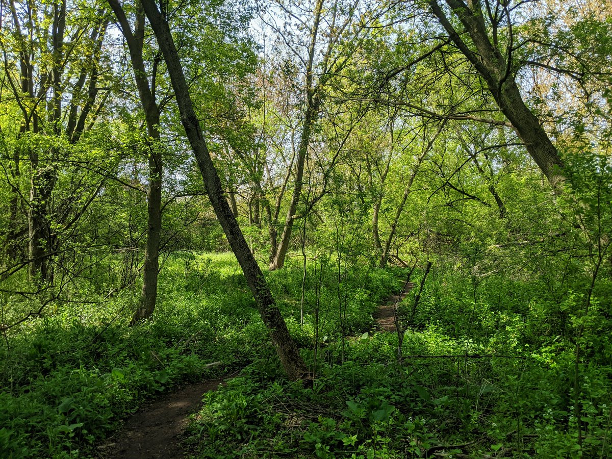
After a bit of hunting through the forest, I stumble onto the confluence. While Laurel takes off to the north, Clair Creek heads east under Westmount.


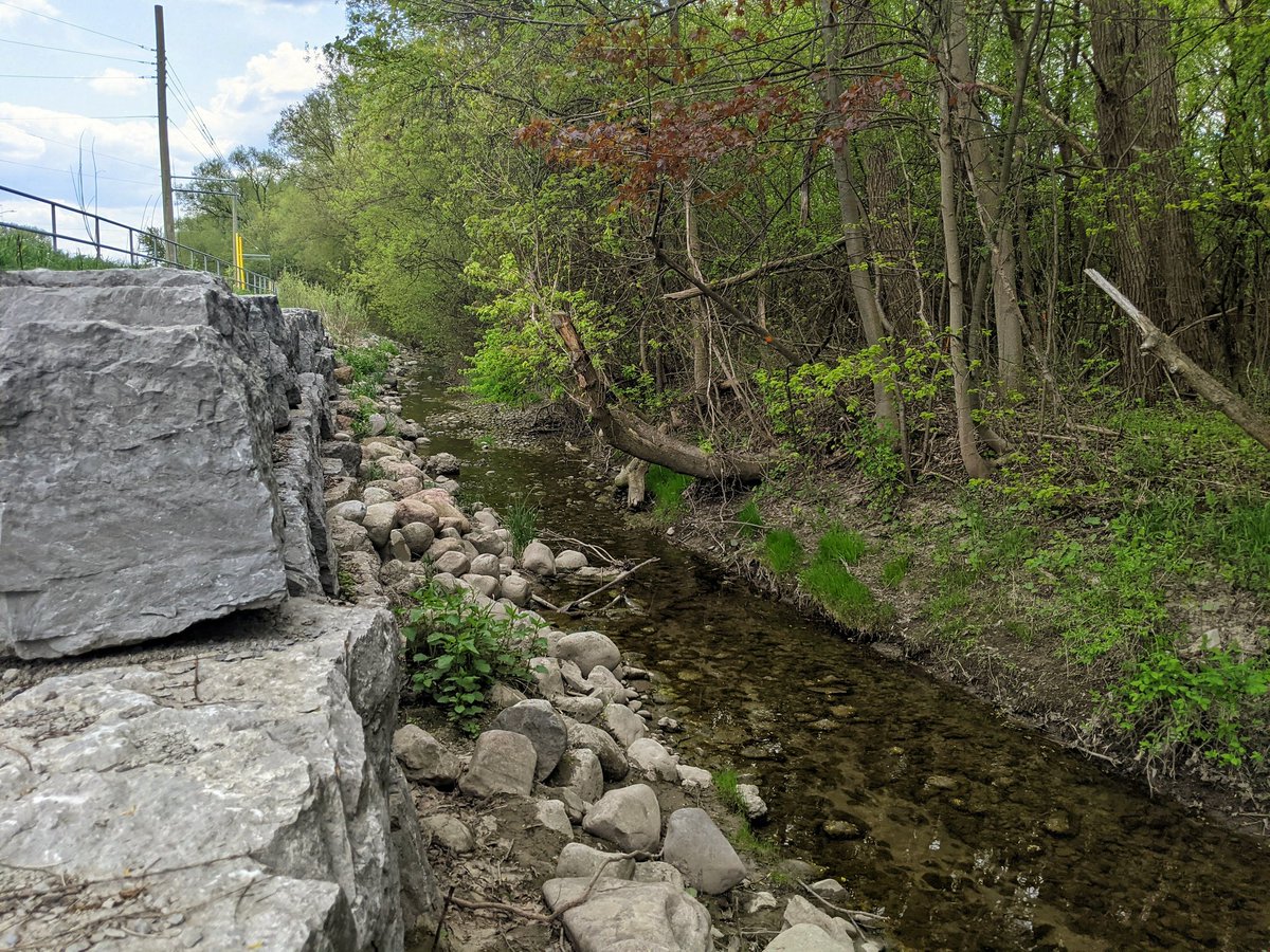
Clair Creek squeezes through some townhouse complexes. Brings you to two sequential confluences: one with Maple Hill Creek and one with an unnamed tributary. I’m going to start following the latter, and loop back following the former. Then I’ll finish off pursuing the main branch.


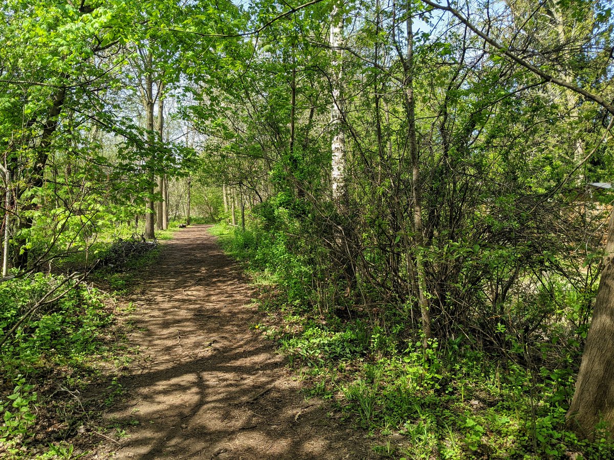
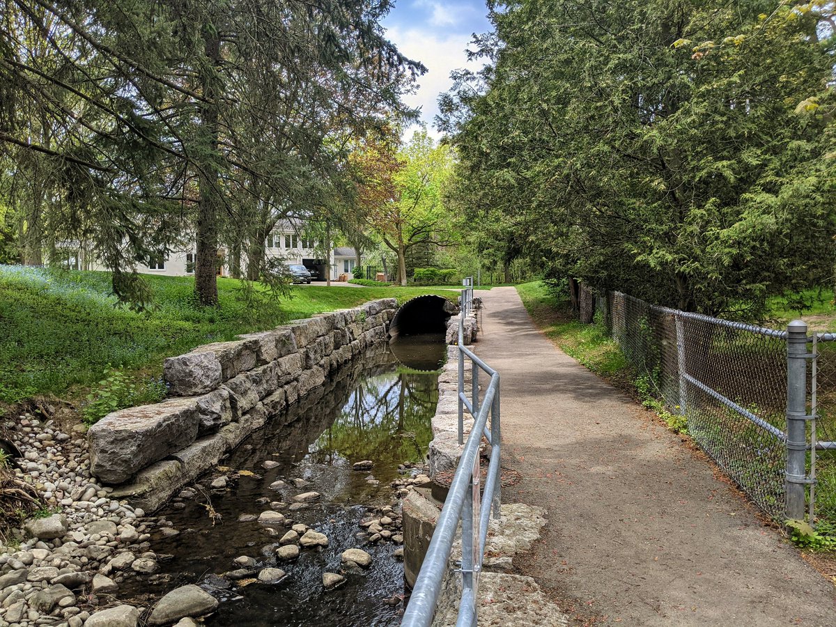
You know, it’s amazing the uncharted nuggets you stumble on sometimes. I expected to follow this unnamed tributary along the Keats Way sidewalk, but there are forested trails on the other side of the channel. It’s nice. They lead me to the first of a few stormwater ponds.


Another stormwater pond, and then the tributary gets tucked behind some houses and in a condo complex. Finally, the headwater, within McCrae Park. That ends this pursuit.


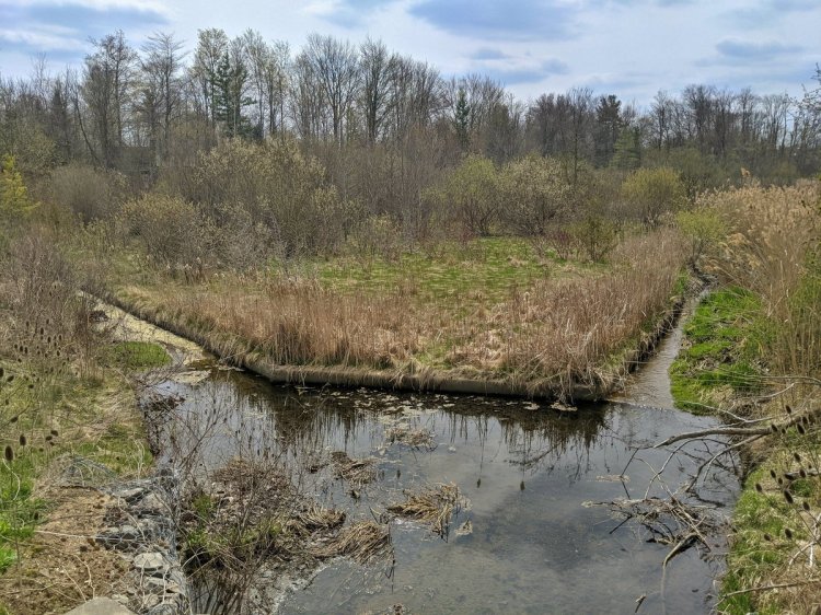
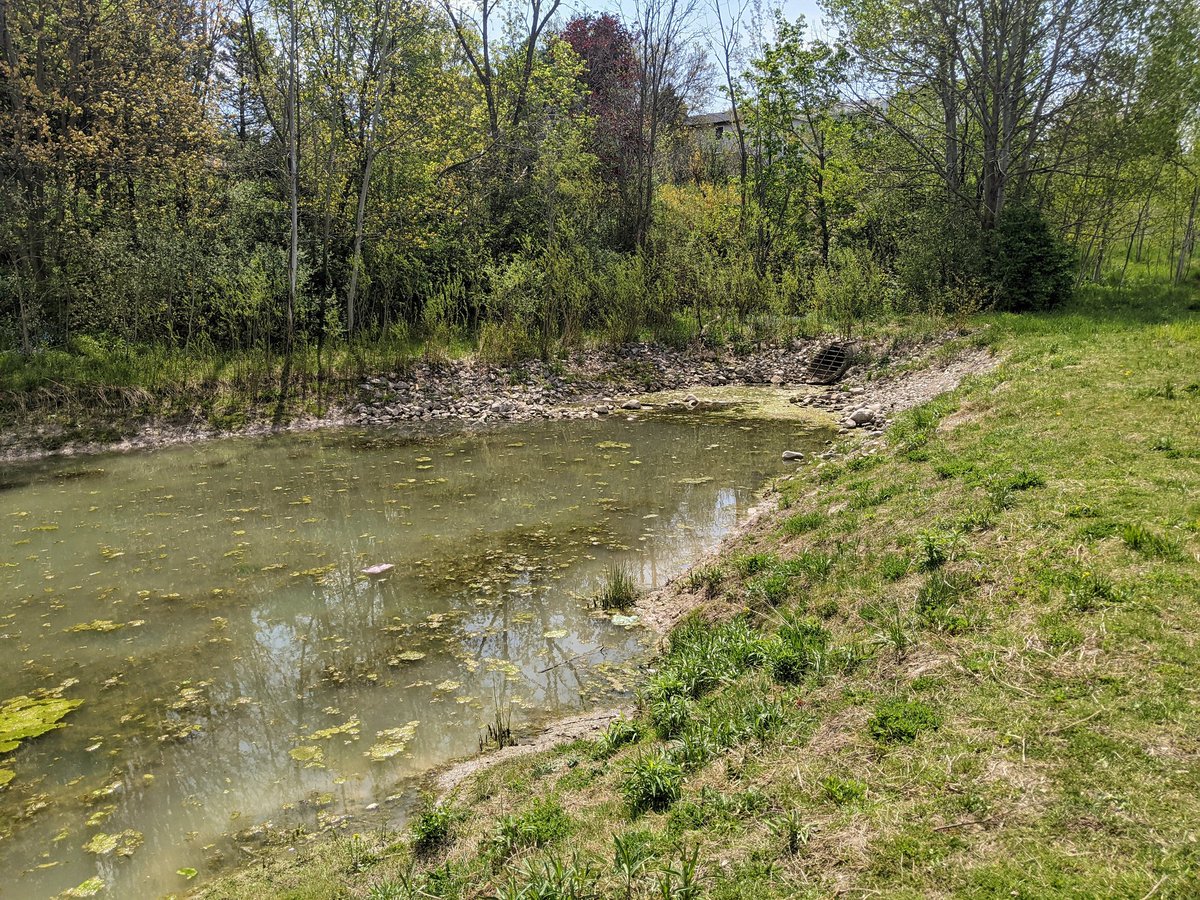
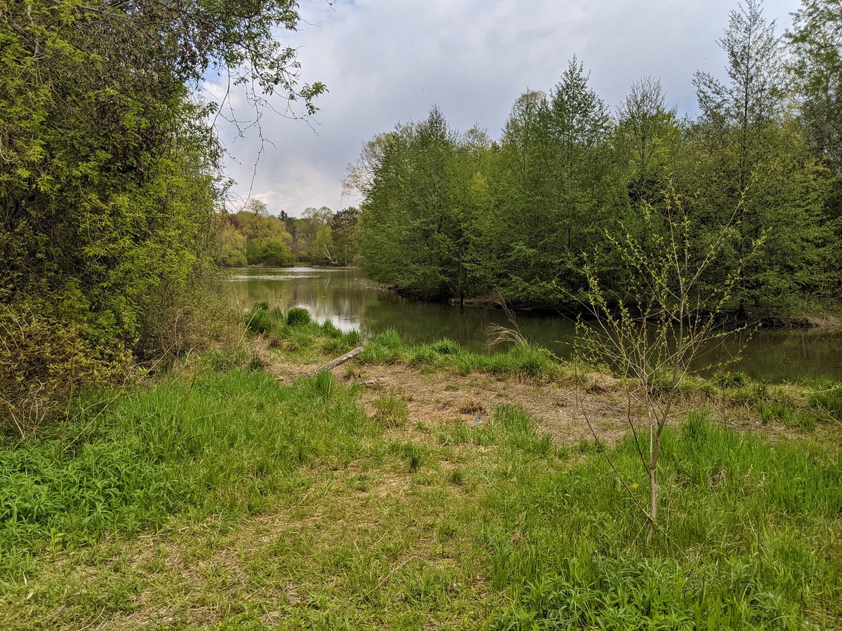
A minor swale leads down to Westvale Park, a greenspace where two stormwater outfalls dump into a pond, and form the headwaters for Maple Hills Creek. It’s also probably one of the first Waterloo parks I visited after moving to the region almost two years ago.

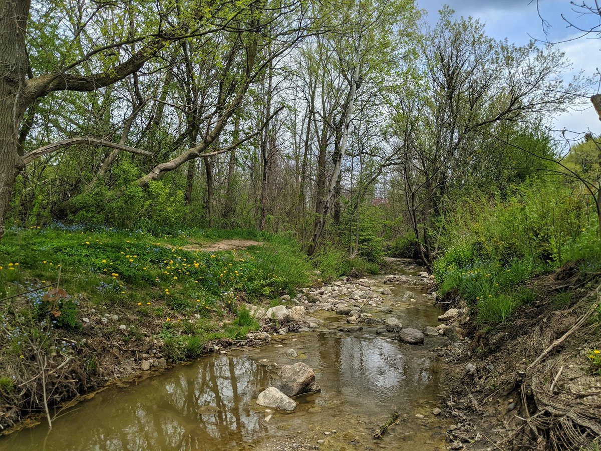
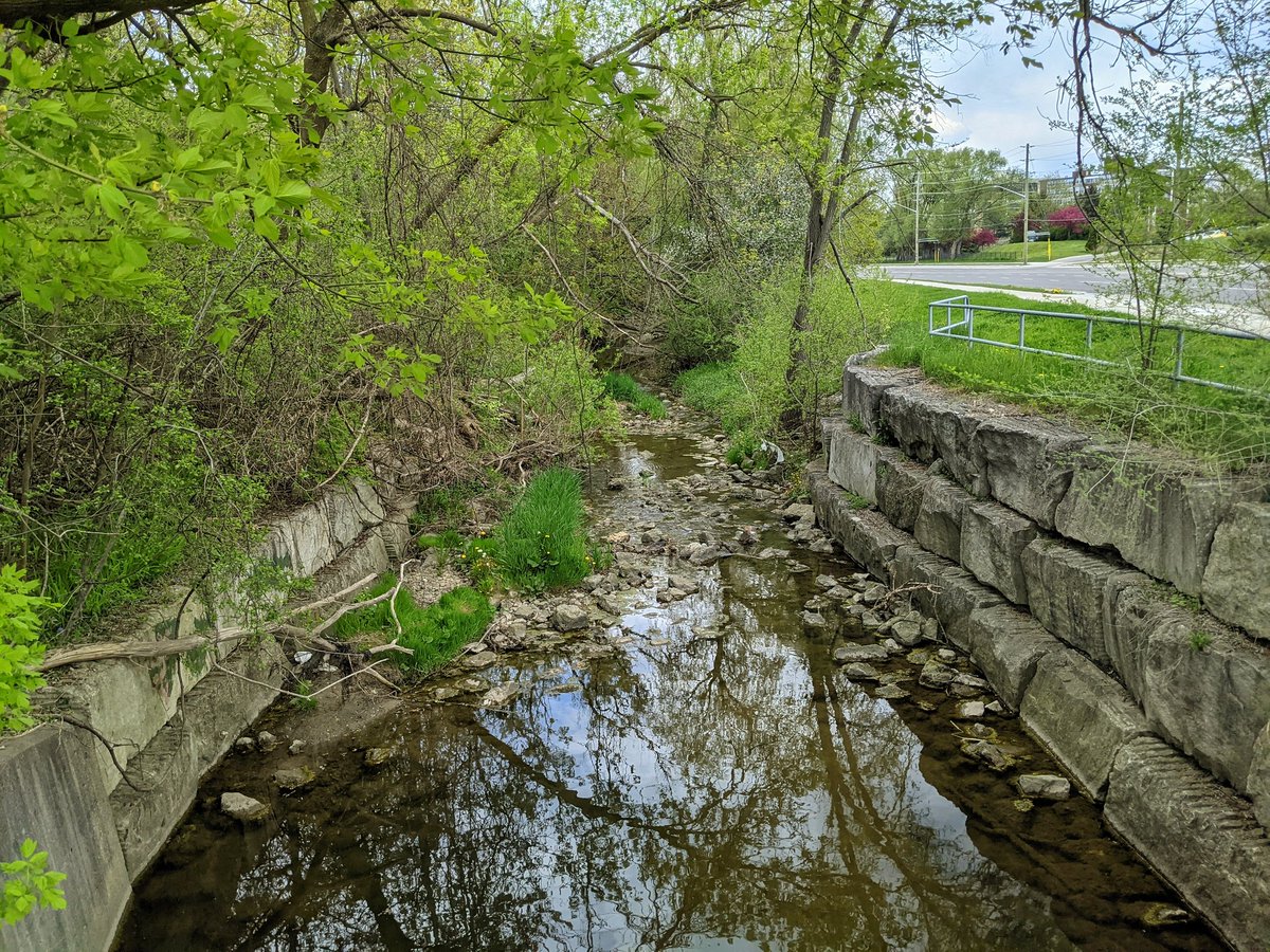
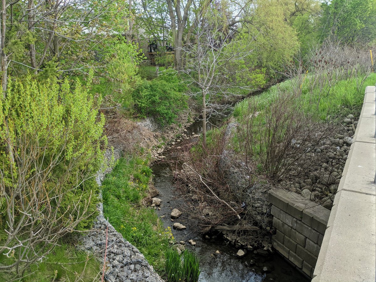
The Westvale Pond drains into a small channel. It darts across a concrete channel within a dry stormwater pond, before disappearing into an underground pipe through Thorndale Park. A surface ditch makes it clear where the water wants to flow.


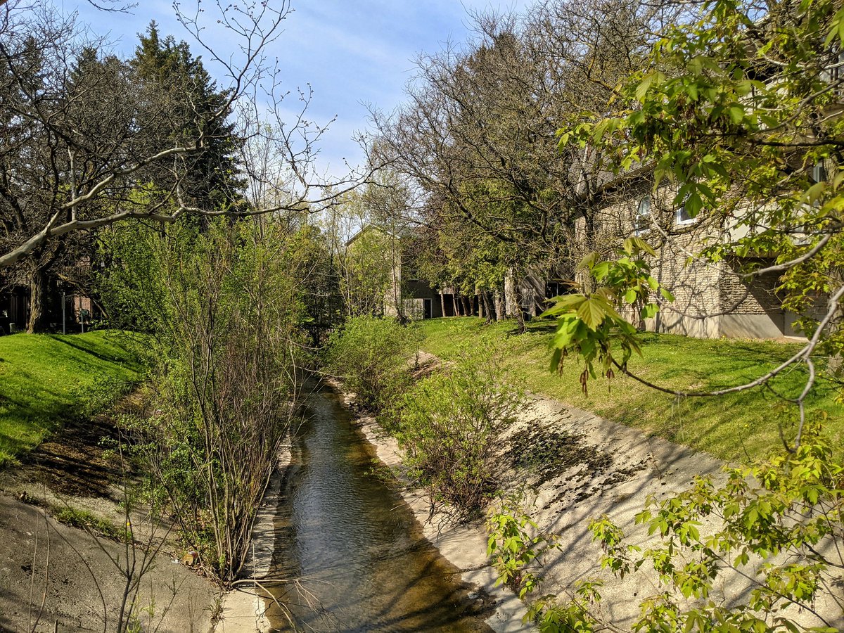
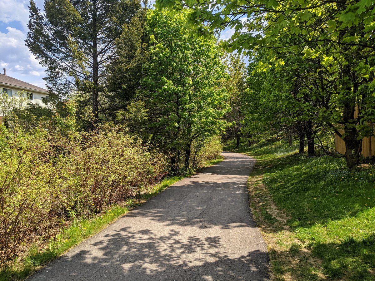
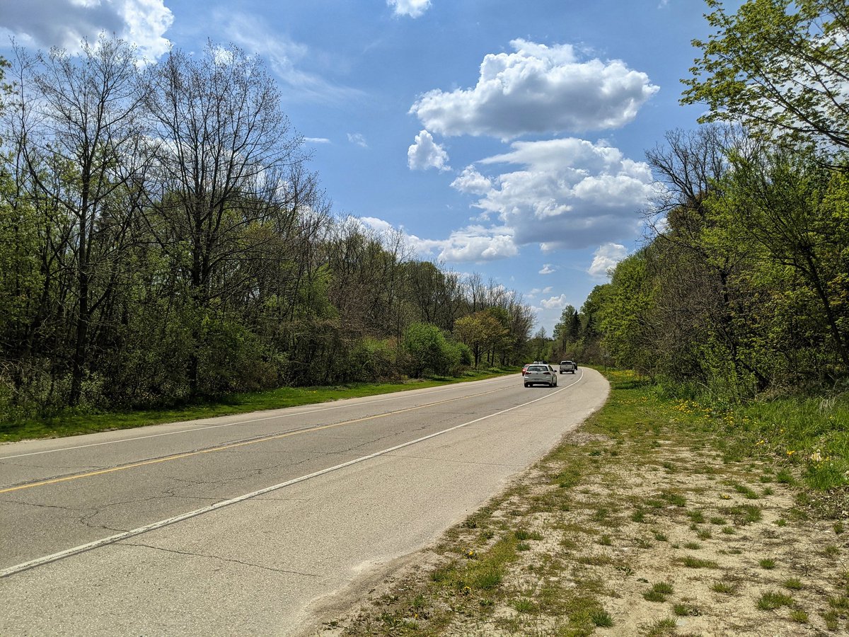
I weave my way through the streets to University Ave, and get stuck wandering the shoulder for some time. Maple Hills Creek stays hidden in people’s backyards behind a noise wall. Eventually I get creekside near Culpepper Park.


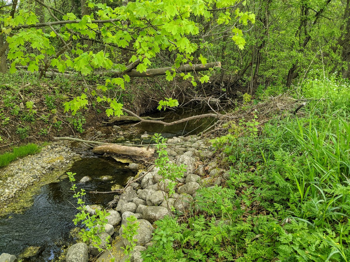
Maple Hills Creek continues openly parallel to the road, until coming back to its confluence with Clair Creek. Now to carry on pursuing the main branch.

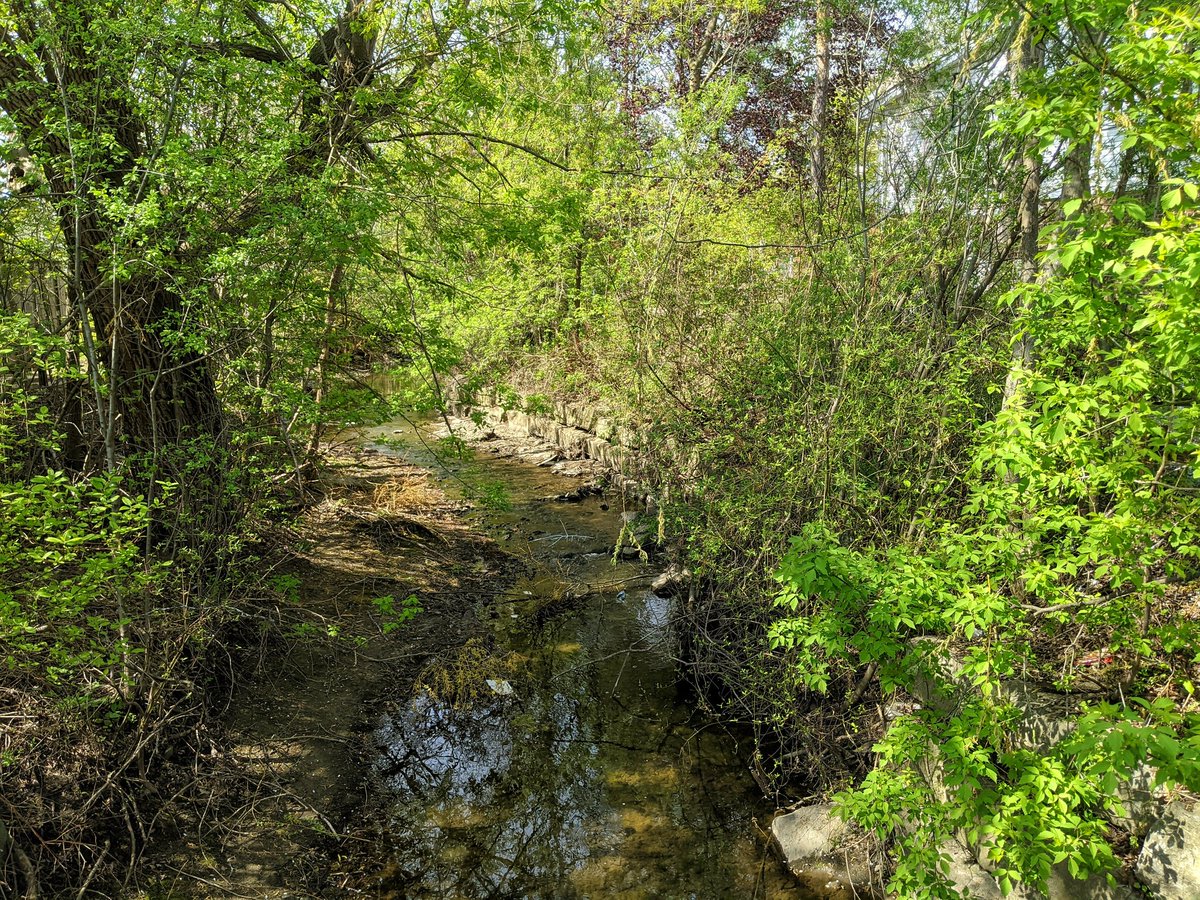
Clair Creek winds through some backyards. Some don’t allow access. Others do. North of Coleridge Drive, a bridge leads you to a grassy path to the bottom end of Clair Lake Park.


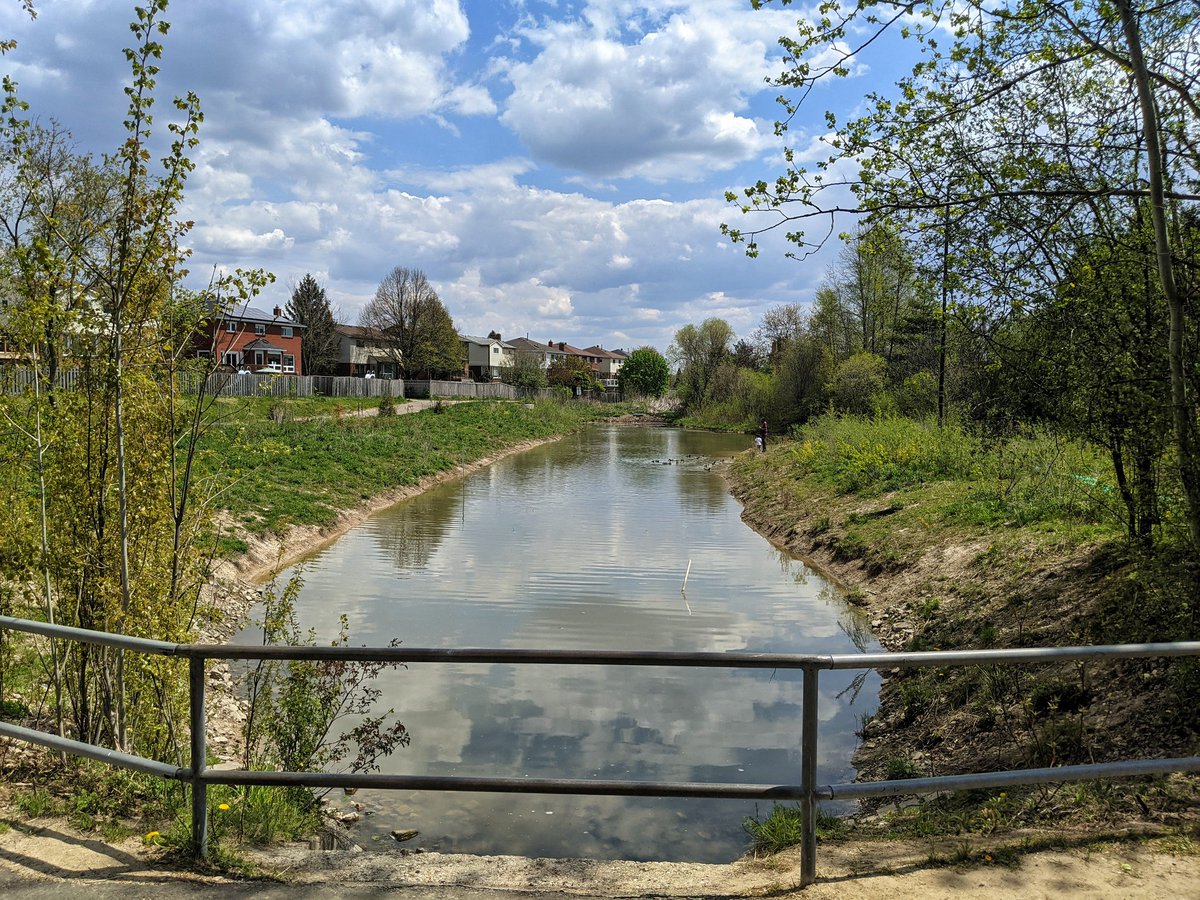
Clair Lake. Beautiful open space. Clair Creek continues up the top end, with high slopes to navigate.


The creek heads north a bit until going under Fischer-Hallman. This is where I must end the walk today, but there are plenty of headwater streams to explore next time.

Date: May 15, 2021
Length: 13.8 km
Type: Riverine