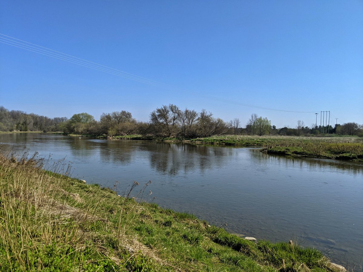
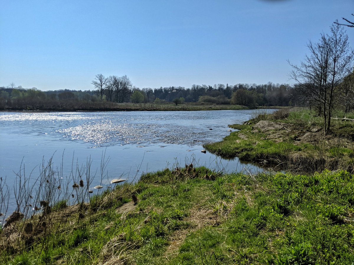
Good morning from east Waterloo. I’ll be following three creeks today. The first is Colonial Creek, and I’m starting here at its confluence with the Grand River. After that, I’ll follow Forwell and Cedar Creeks, tributaries of Laurel Creek. Let’s go.
The confluence is along a strip of parkland leading to a trail paralleling the Grand. There’s a steep climb to get over the University Ave berm, no trail underpass. Then the creek is shielded from view in the front yards of large homes.


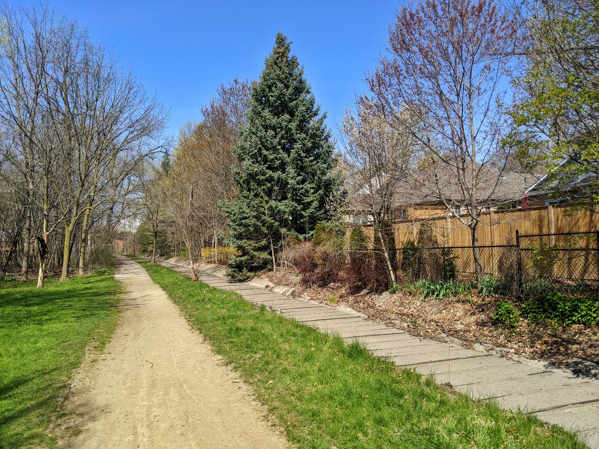
A nice trailway at the end of a cul-de-sac. Looks prone to flooding. It’s a nice trail and valley nonetheless. Got a glimpse of the confluence between the creek’s two branches. I’ll try following the north one, and come back to the south.


The north branch starts off nice, but west of Bridge Street, it’s shrouded behind people’s houses. A couple brief glimpses of it, and to call it a creek is generous. It’s simply drainage from the local minor storm drains. That’s about it for this branch.


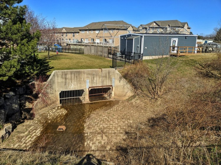
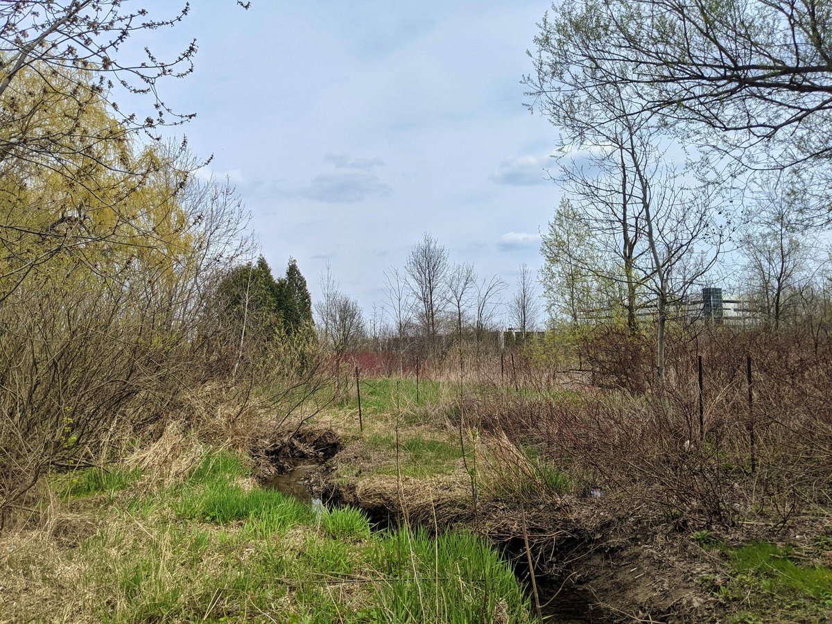
To the tip of the south branch. This is a storm drain, just bone dry concrete. It washes into the top of Anndale Park, where it’s natural. No flow though, and no trail.


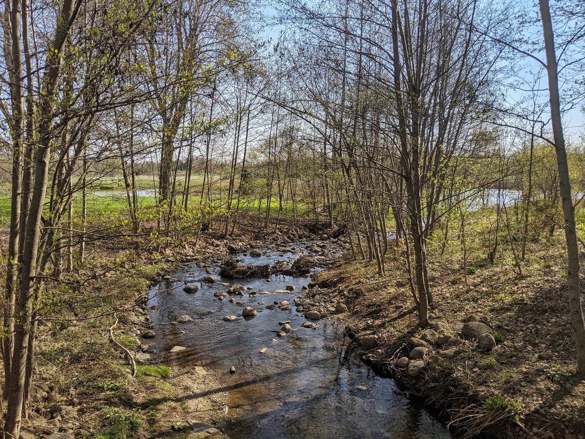
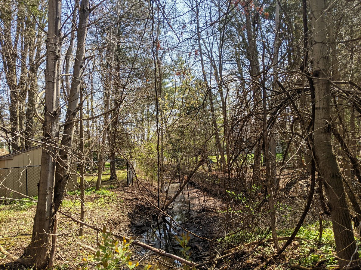
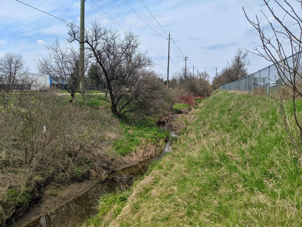
The north end of Anndale Park has a good swath of woodland. It took a while to find anything resembling a creek. But again, it’s mostly stagnant storm runoff that leads to a nice looking pond.


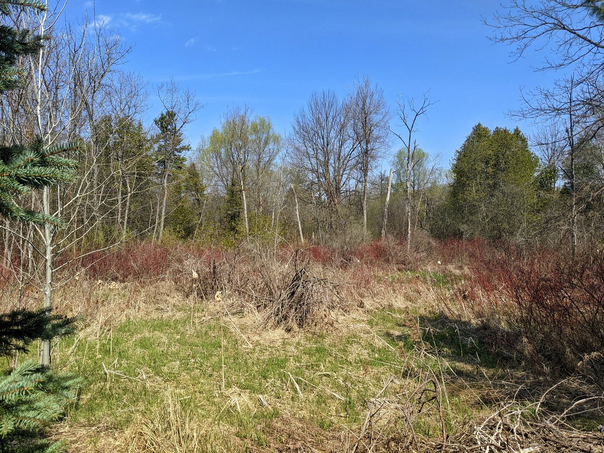
The pond outlet establishes some baseflow, but it’s not far downstream until the south branch dives behind backyards. That’s it for Colonial Creek, now onto Forwell.

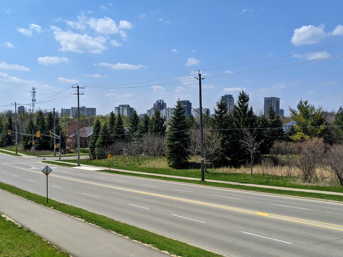
Out of the sparse suburbs and towards the densifying core of KW.
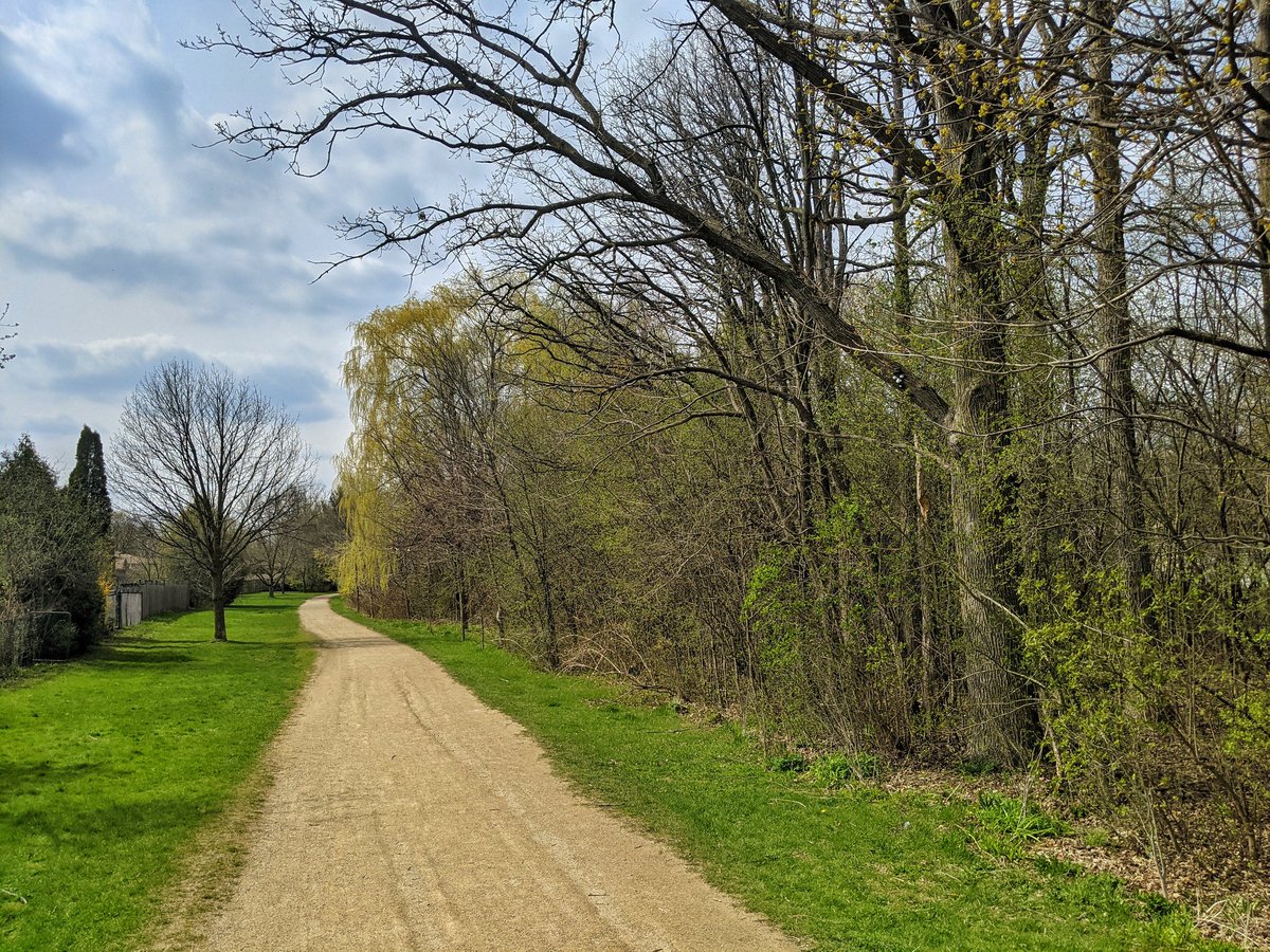
We meet Forwell Creek at its confluence with Laurel Creek. A solid trail is in parallel.

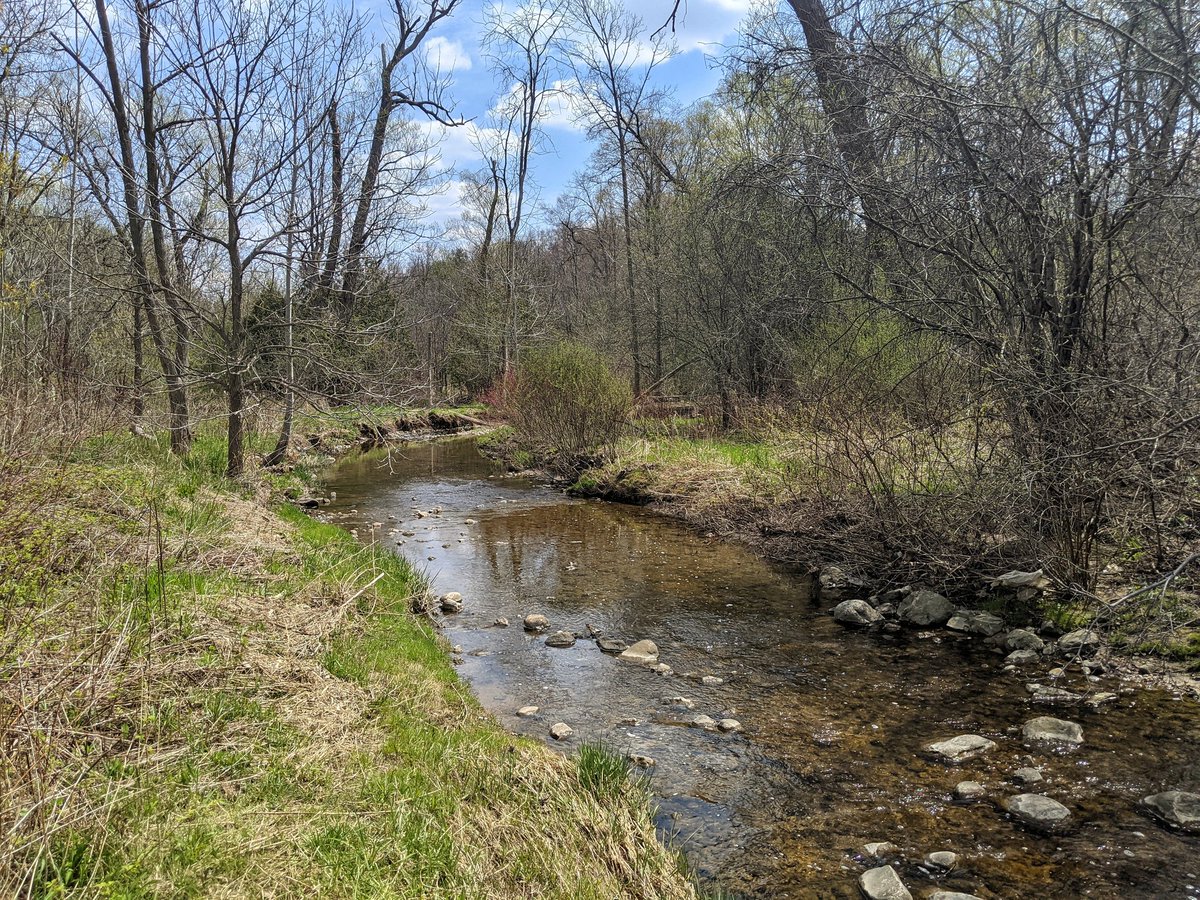
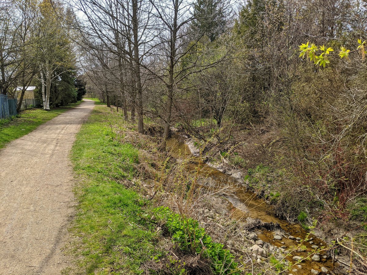
It’s a pretty small creek, but has good baseflow. Apparently it may be springfed in this reach. Trail and creek meander on.
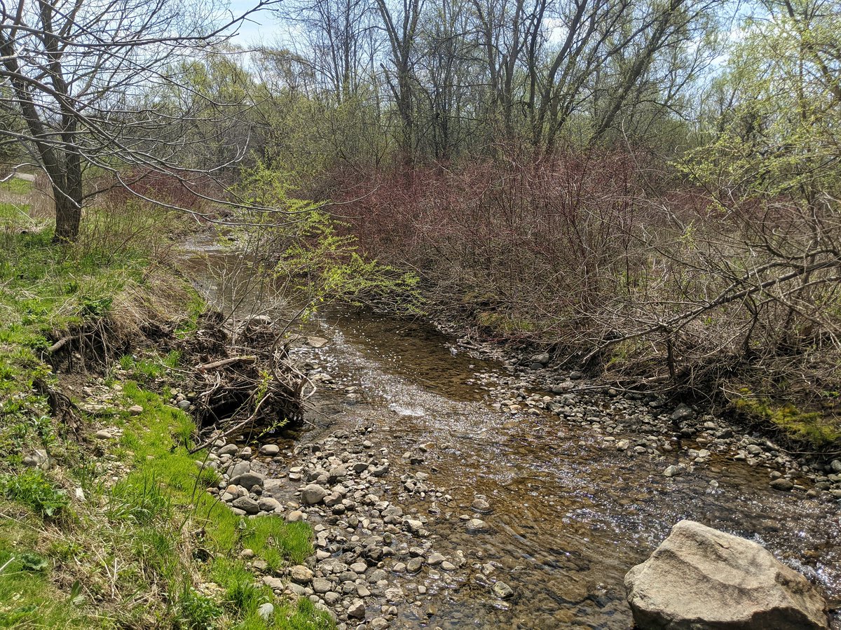


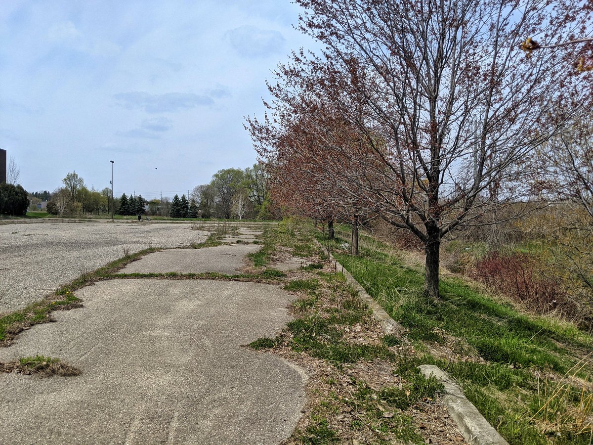
The creek condition starts to decline. Things appear thrashed by erosion. The creek ducks from an abandoned vacant parcel to inbehind an industrial park.


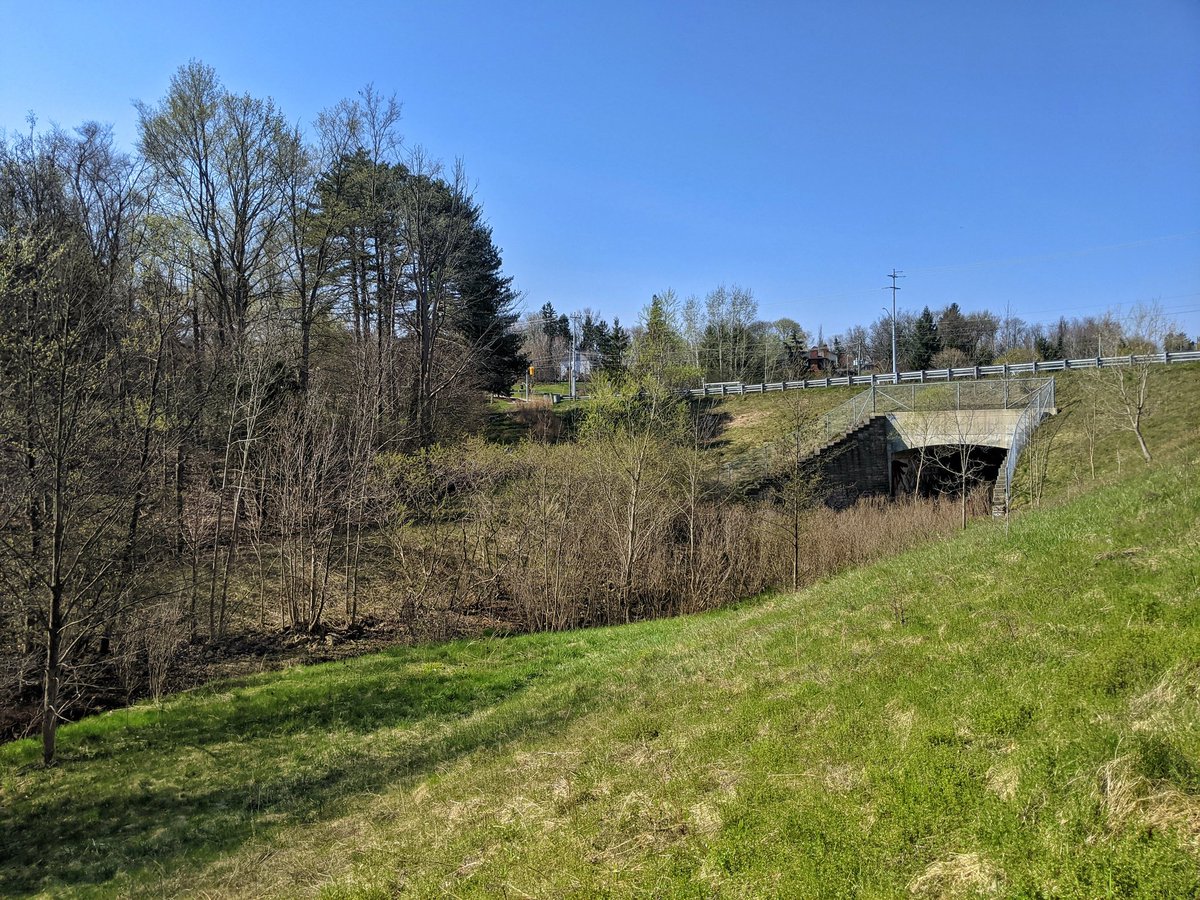
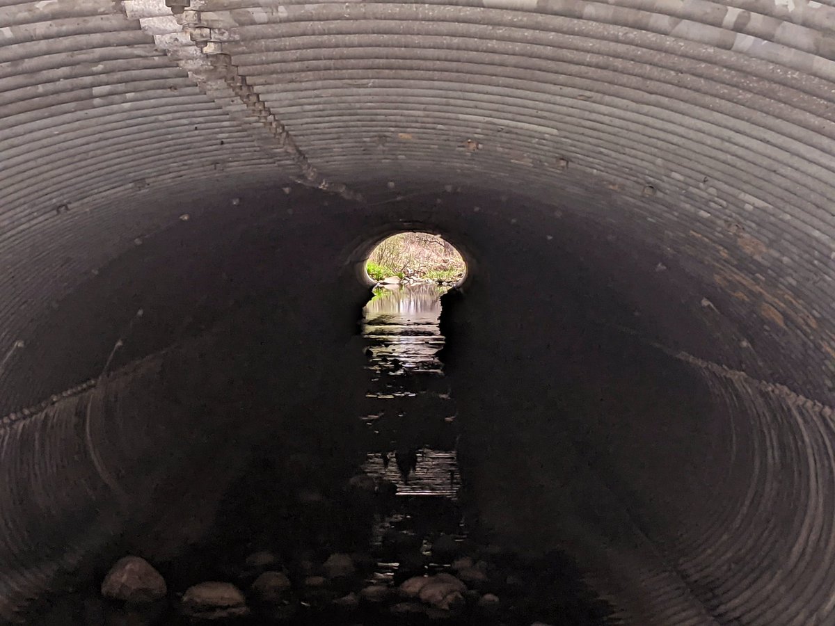
The dreaded Weber-Northfield detour. I finally get back to Forwell Creek at the Conestoga Parkway and the Northfield overpass. At this point, it’s a bit of a straight ditch. Not intermittent though, it’s deep with good flow.

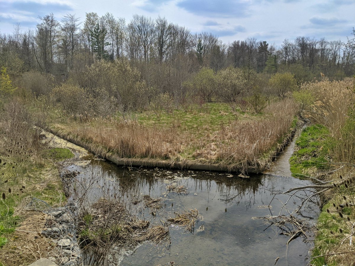
The creek parallels a railway to St Jacobs and Elmira, before turning onto the Waterloo-Woolwich border. Some meander reappears next to some stormwater ponds for the Stockyards.


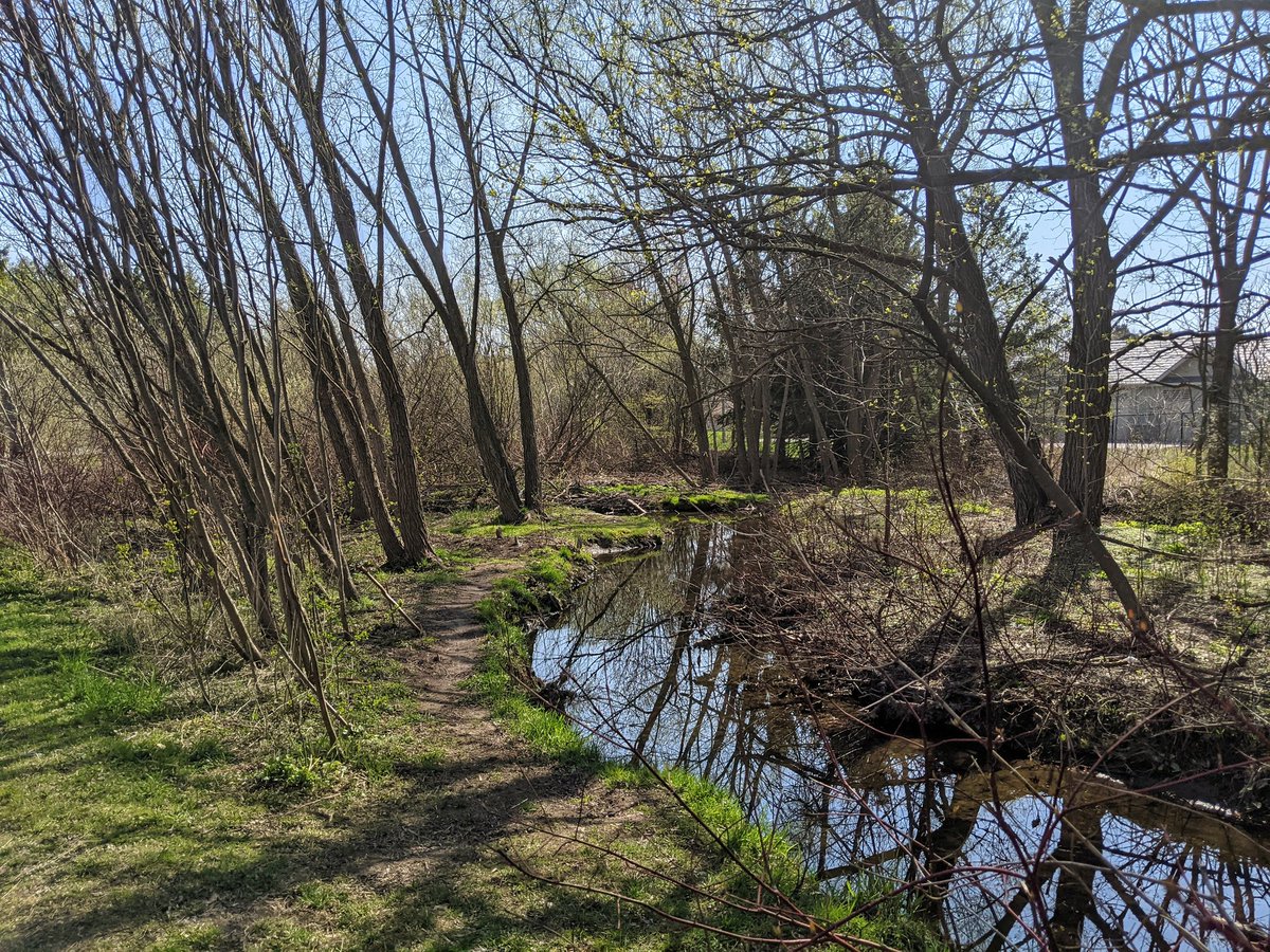
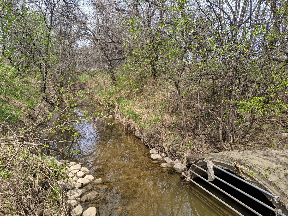
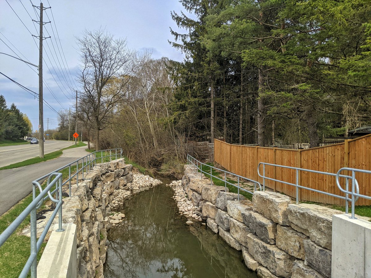
West of Weber Street, and back into Waterloo proper. There’s a weird fork between two concrete channels. The northern one is a continuation of Forwell Creek in some sense, and it is paralleled by a quaint trail.


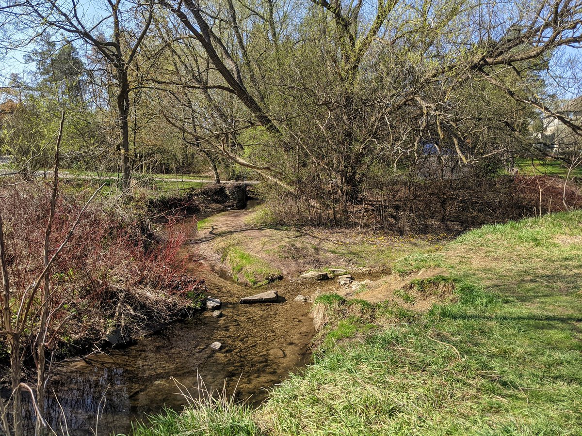
After a bit, the concrete channel disappears, and the headwater dissipates into a trickle. This ends the pursuit of Forwell Creek. Onward back south to Forwell’s main tributary, Cedar Creek.


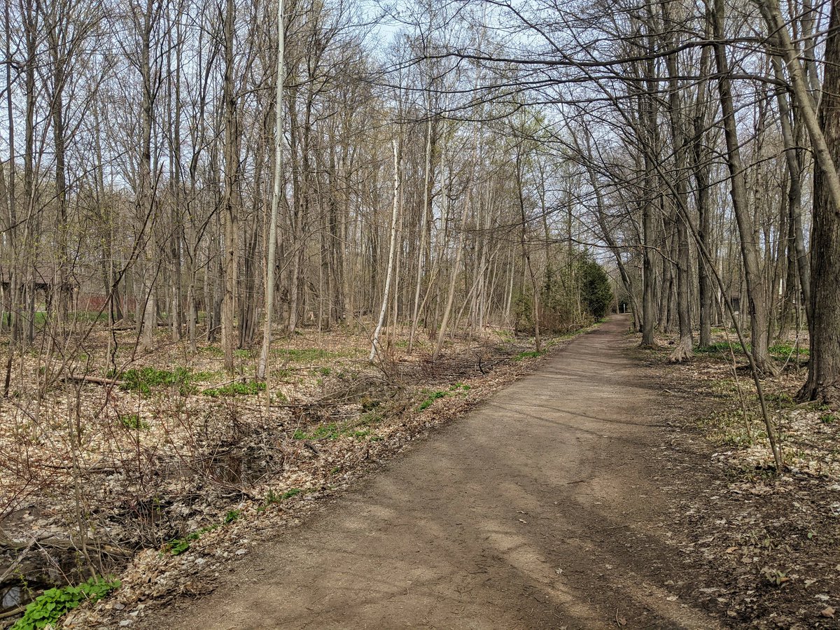
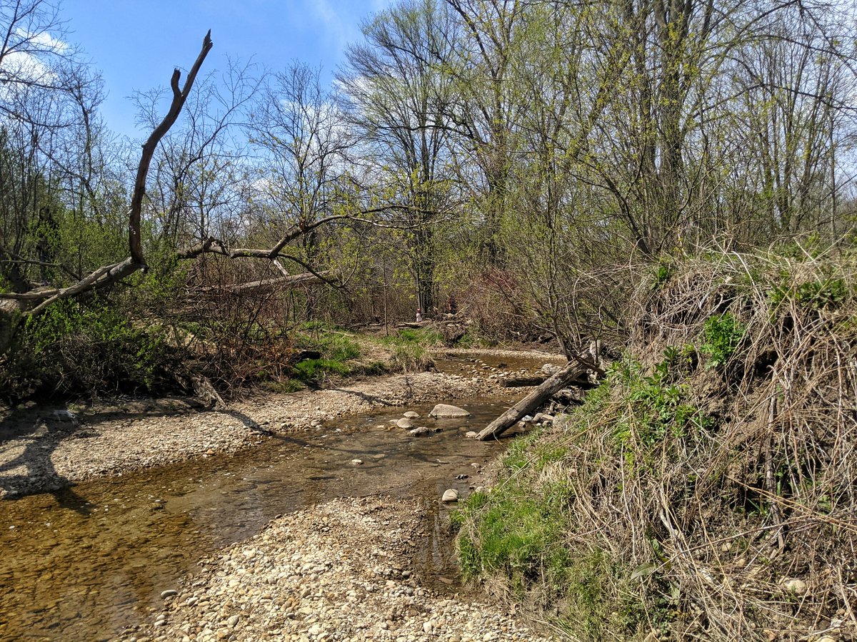
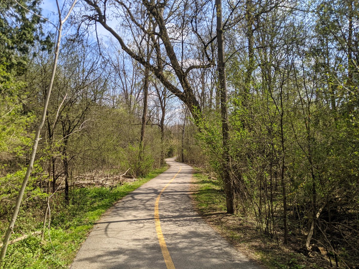
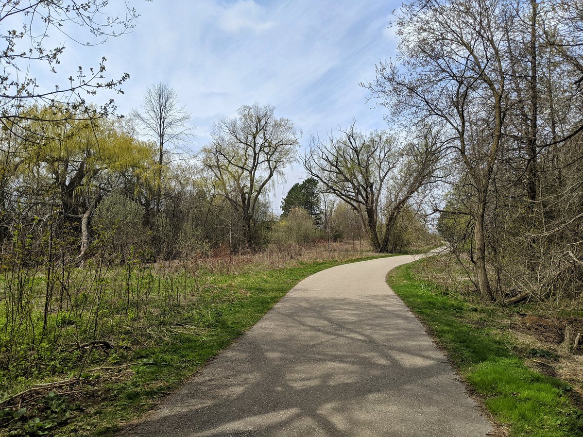
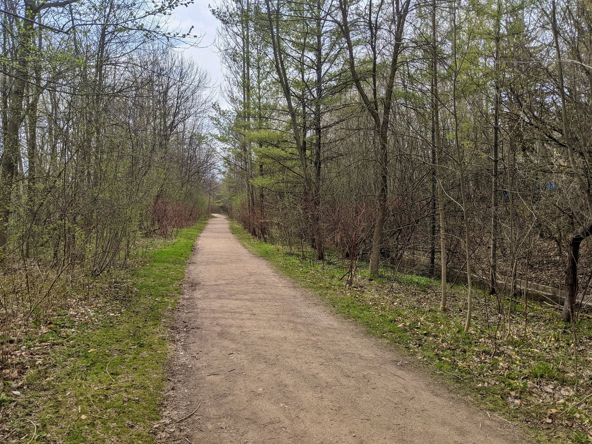
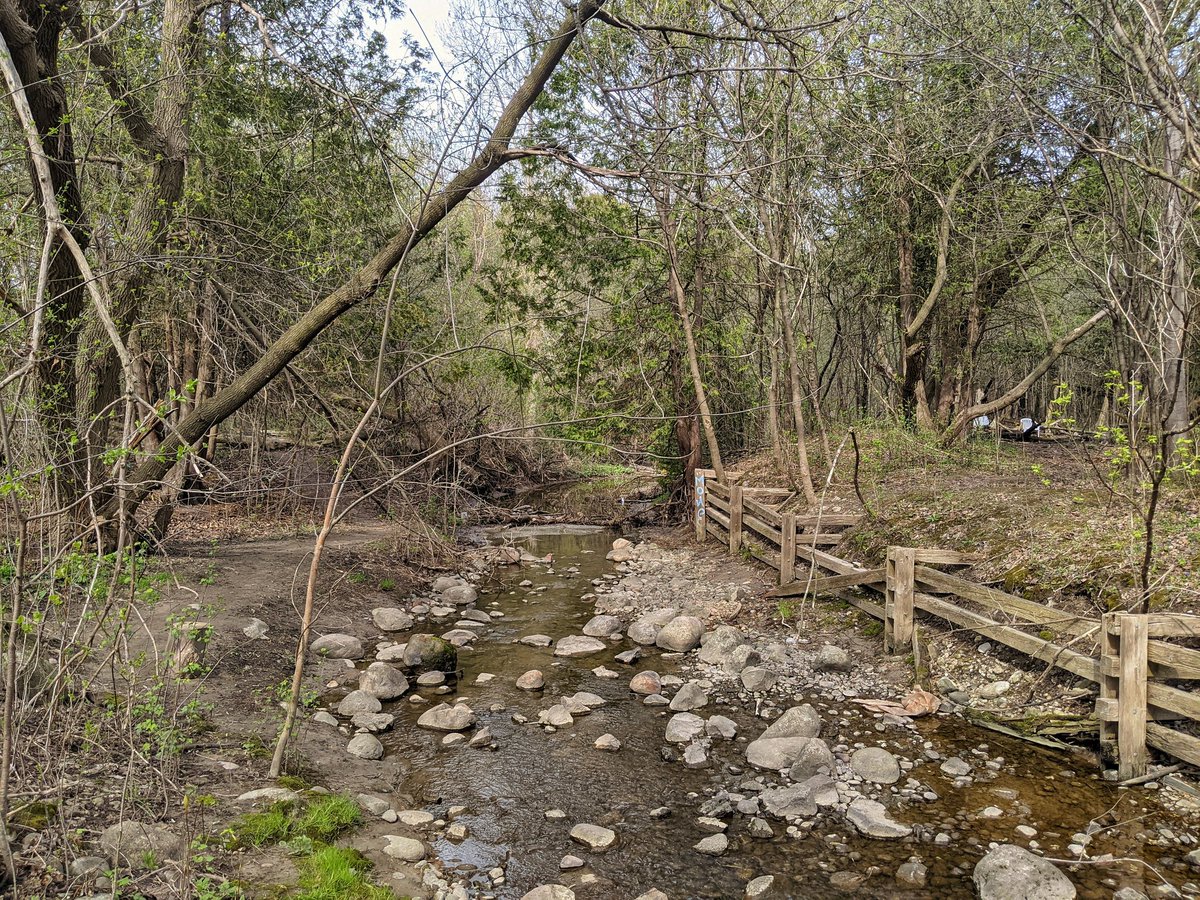
At the top end of Cedar Creek, south of Northfield Drive. Another straight ditch at this point. Plenty of warning signs about giant hogweed found here, surprising for a little watercourse. Good stonedust trail in parallel.


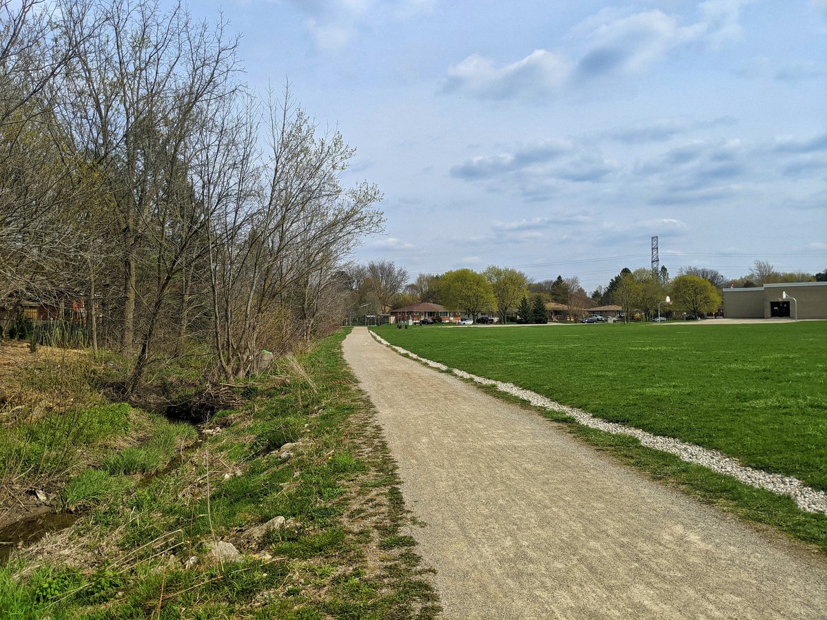
Onwards through Twin Oaks Park towards the Waterloo hydro corridor. Good flow, good trail, definitely major spots of erosion.


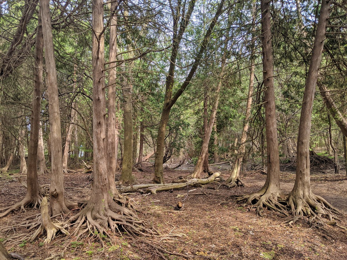
Behind a community centre and under the ION. Through some interesting woods to Albert Street.


The creek really gets squeezed here. It goes under Weber Street and alongside Belcan Place to meet up with Forwell Creek, but the confluence is behind a self storage. That caps off today’s walk.


Date: March 24, 2021
Length: 20.3 km
Type: Riverine