Good morning from southwestern Guelph. Today I’ll be following the main north-south hydro corridor through the city, which coincidentally parallels Highway 6 most of the way as well. Starting near this transformer station near Clair Road. Let’s go.


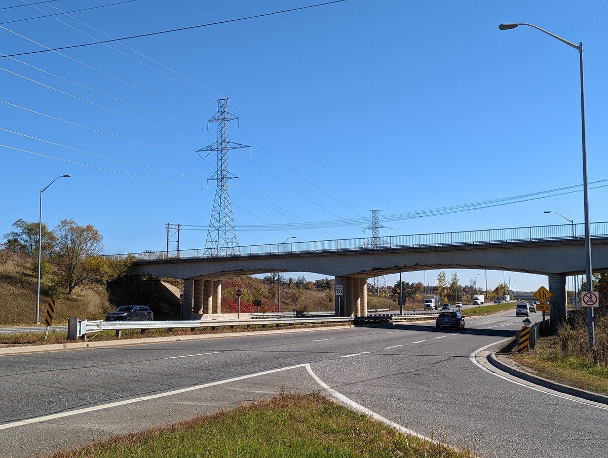
The hydro corridor comes up from the south, crossing the south city border at Maltby Road. As you approach the Laird Road interchange, there’s new towers that must have been put in with the grade separation, but no direct trail crossing. Gotta detour around.


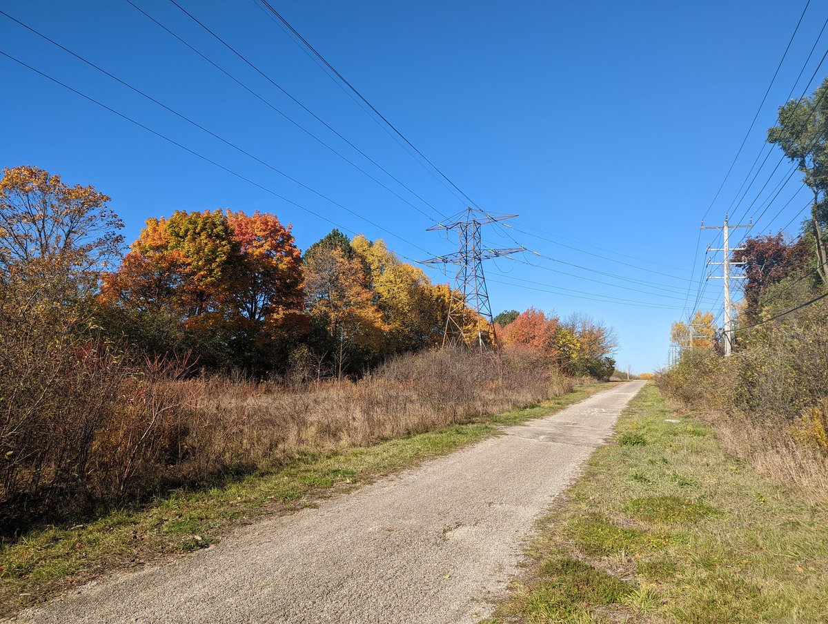
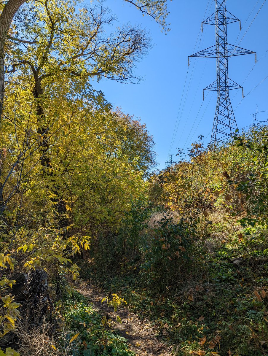
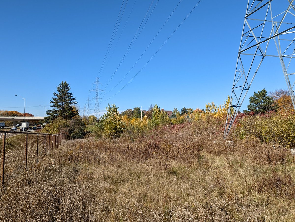
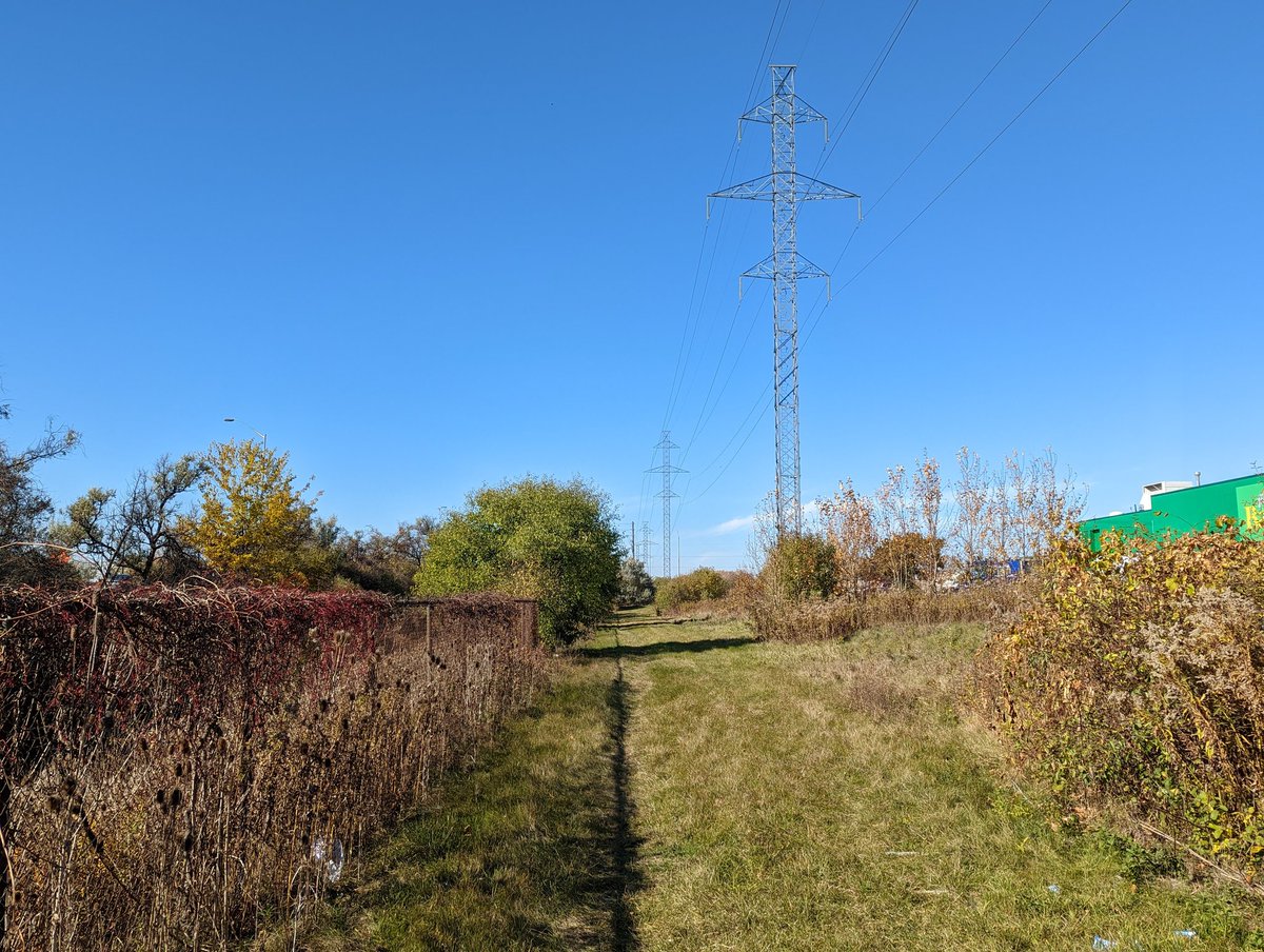
On the other side is the stretch towards Kortright and Preservation Park. Most people go east into the forest, but this maintenance right-of-way is plenty open for public use. Lots of meadow flanking the gavel road too. Another transformer station leg on the way.


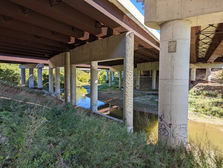
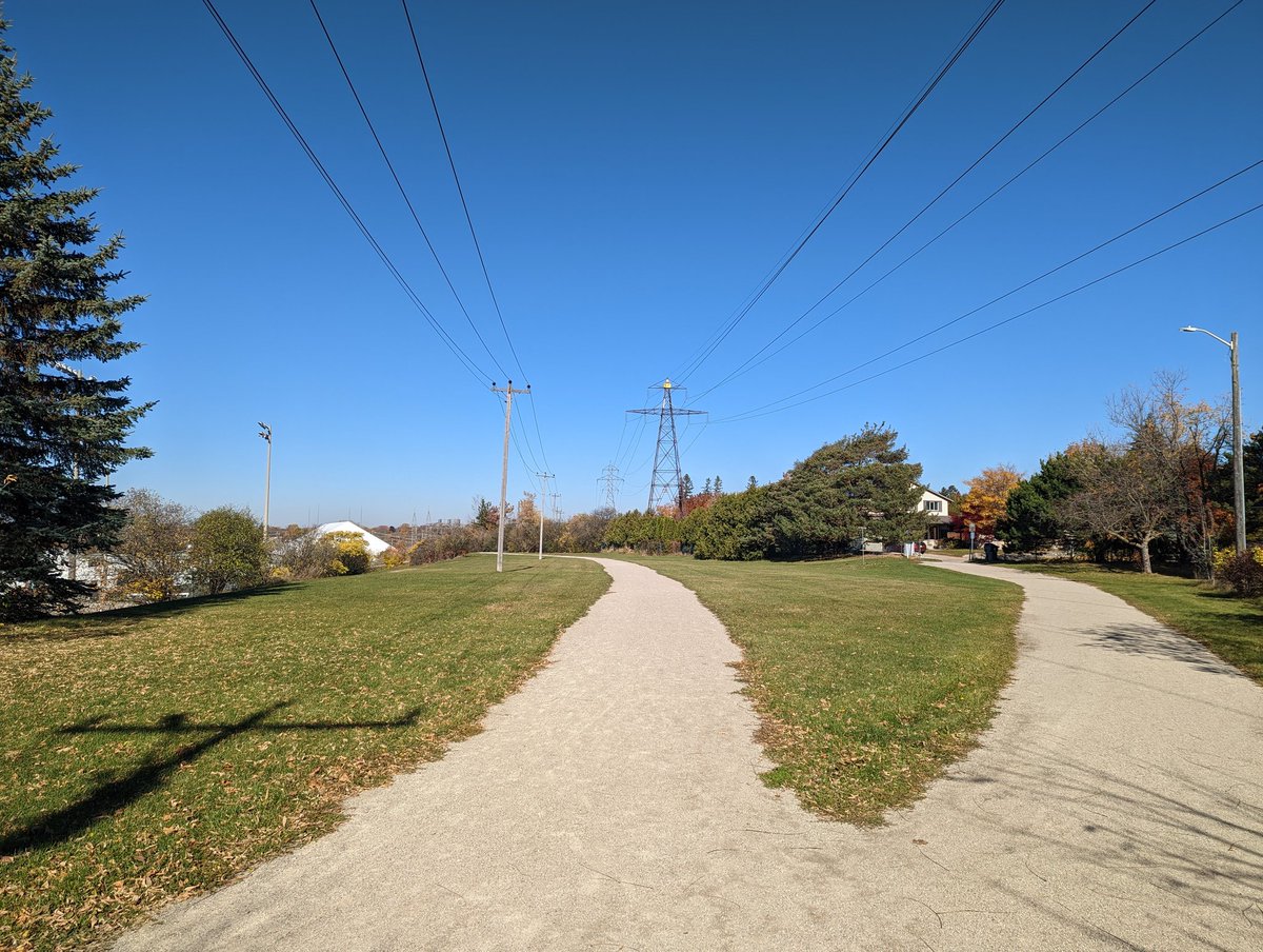
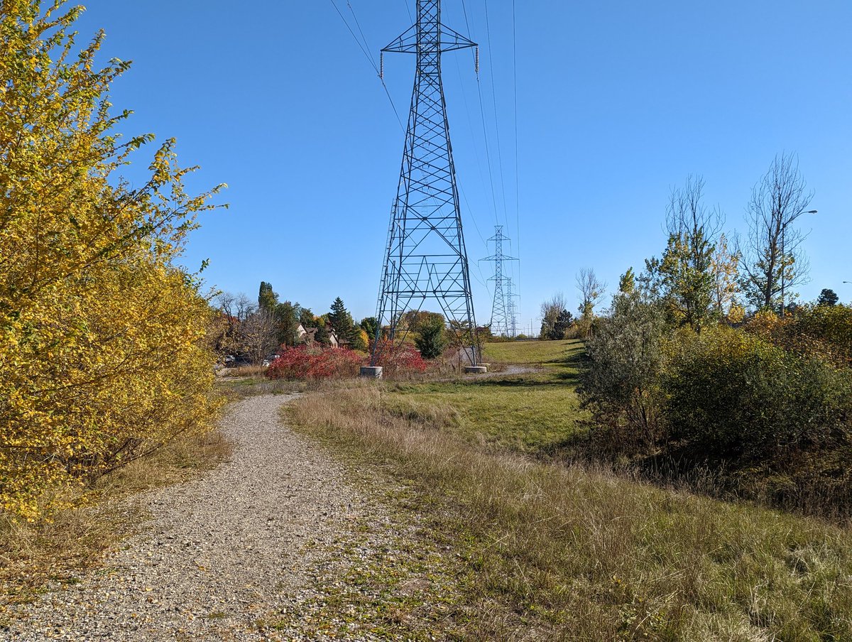
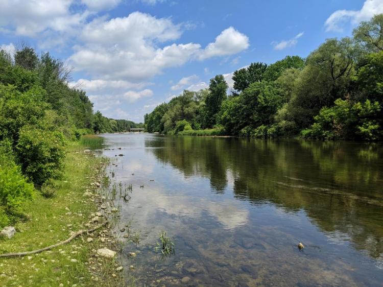
Now into Preservation Park proper. The road widens out into 4+ metre stonedust trail. This is also where Hanlon Creek flows out of the park’s wetlands and under the expressway. The culvert includes a pedestrian passage to the Kortright Hills neighbourhood on the west side.


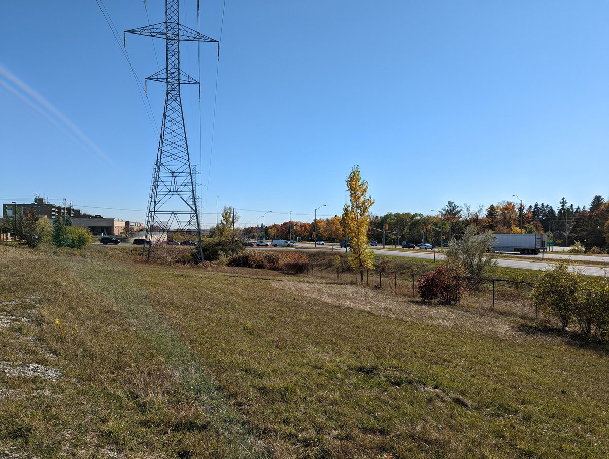
Like many other hydro corridors, this is actually a shared utility right-of-way. So as the hydro lines split off to the northeast here, there’s local hydro distribution, a natural gas pipeline and telecom wires that continue straight. I’m continuing on the latter for a bit.


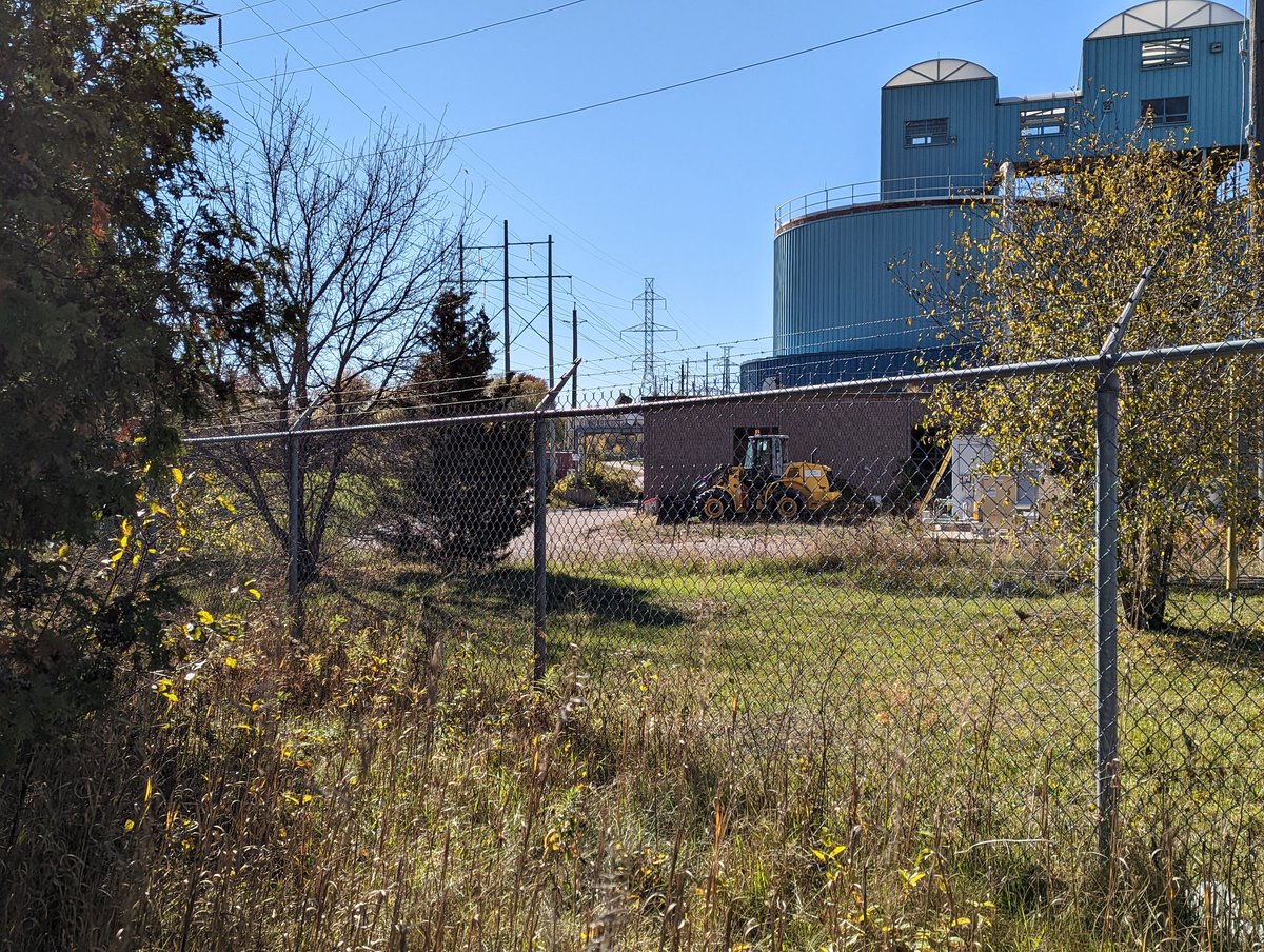
This open park space is one of those eerie old abandoned roads, terminating in a cul de sac just south of Stone Road. A natural gas station sits here, I imagine it will need to relocate for the expressway grade separation too. Back to the hydro corridor north of stone.


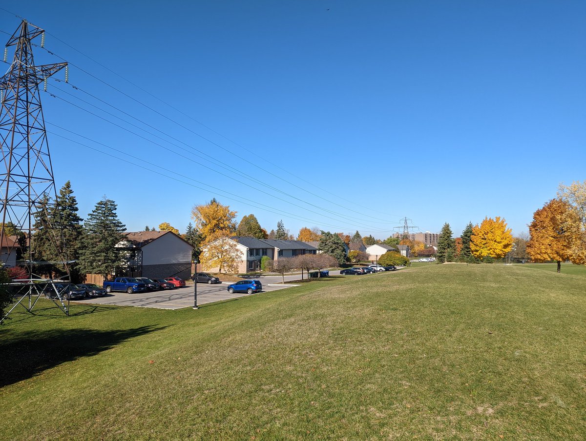
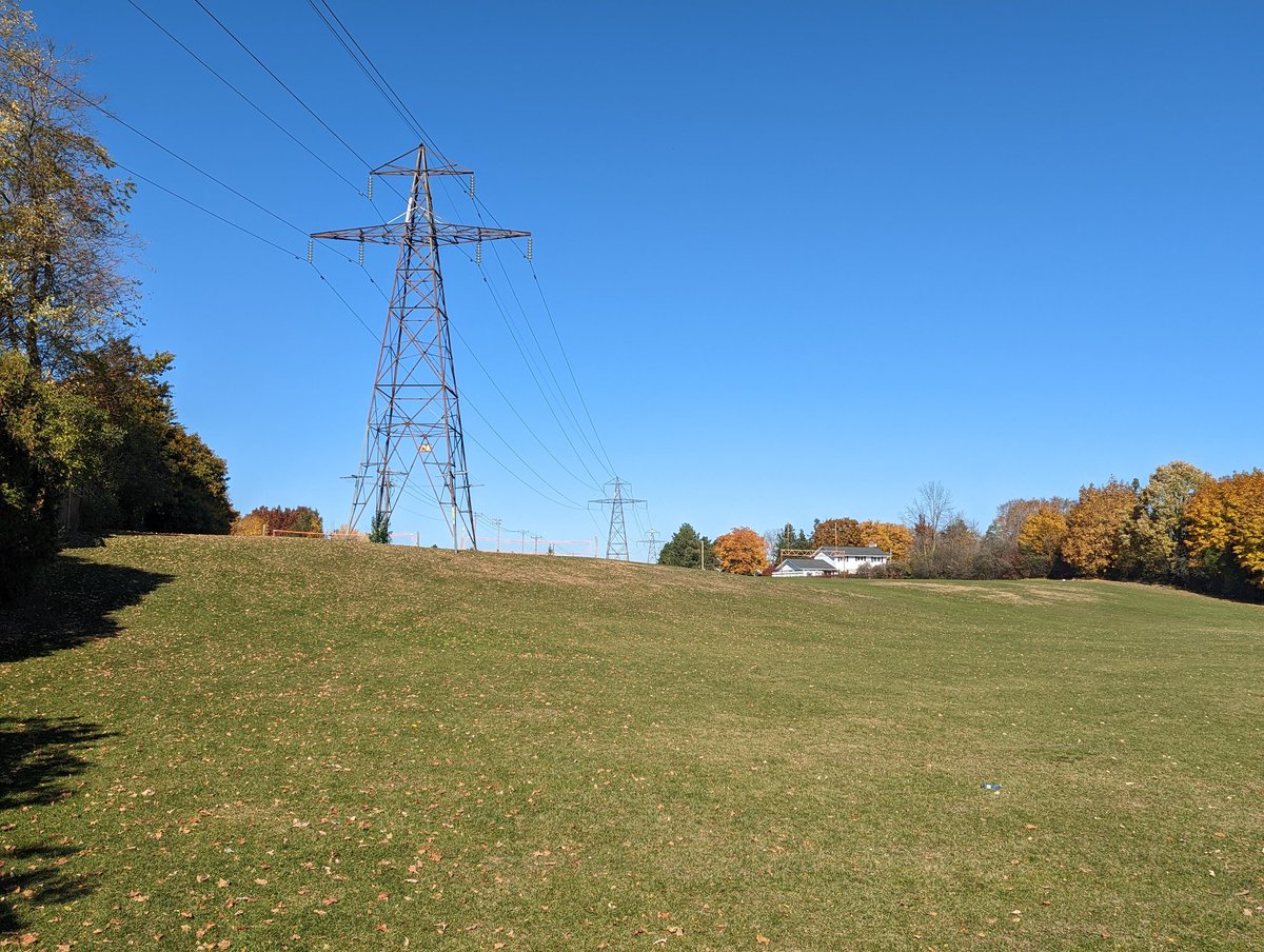
Over the hill into WE Hamilton Park. Lots of public space to the east while the hydro corridor cuts into some townhouse complexes, which are considerably fenced off. Best to stick to the park.
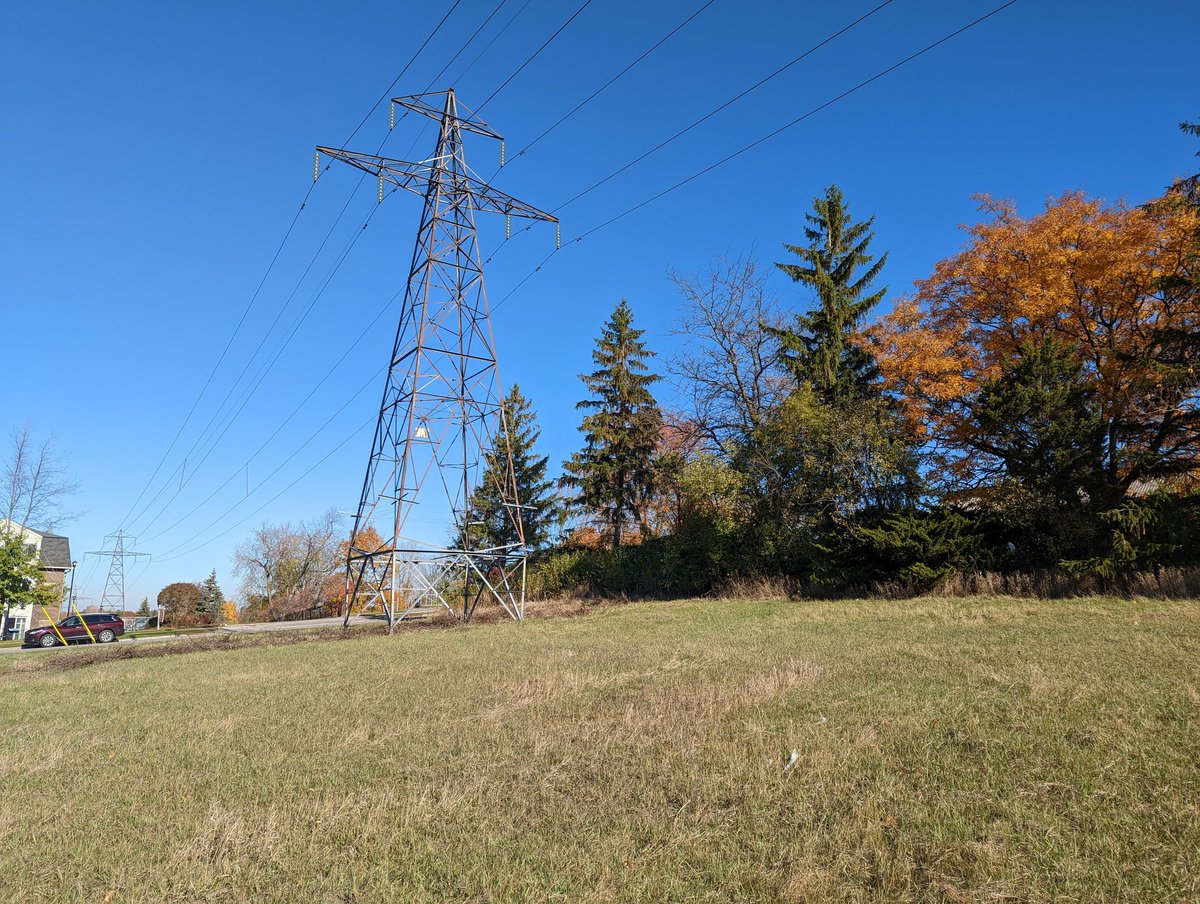


After that SNAFU with private property, it’s across College Ave and back to parkland. Up a hill and at the top of a dip in Centennial Park.


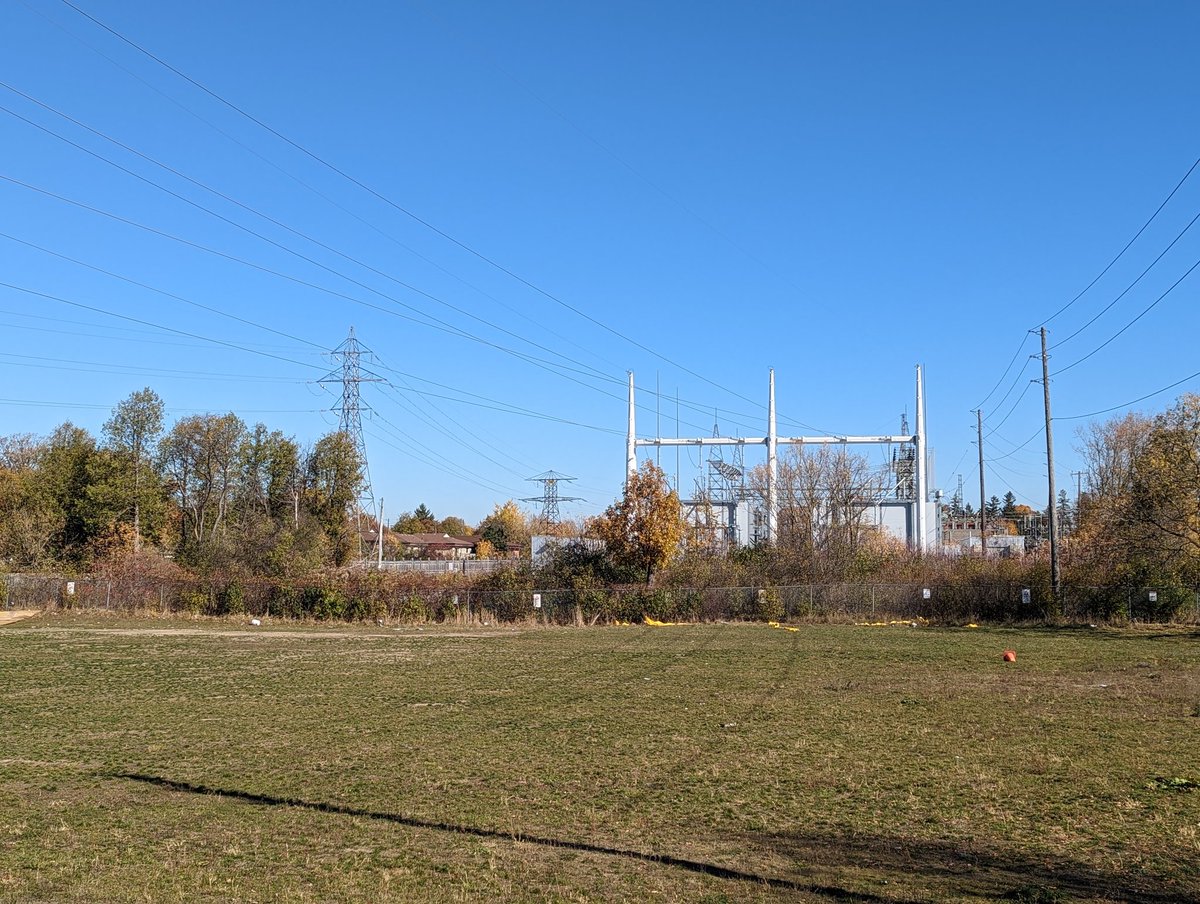
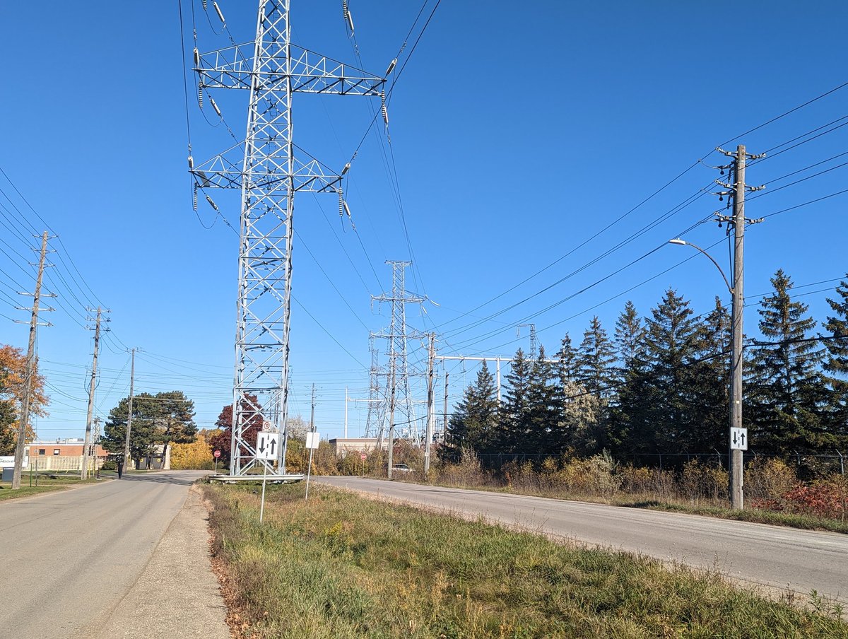
This high point gives you a good look at the Cedar Transformer Station, the central hub for the city. This is also where the hydro corridor turns westward to join the expressway again.

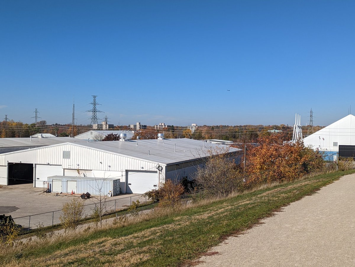
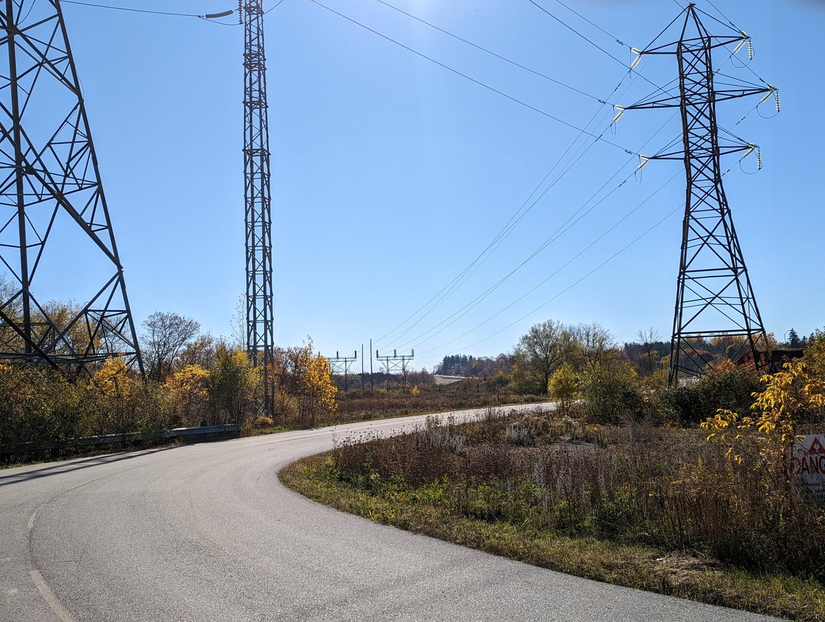
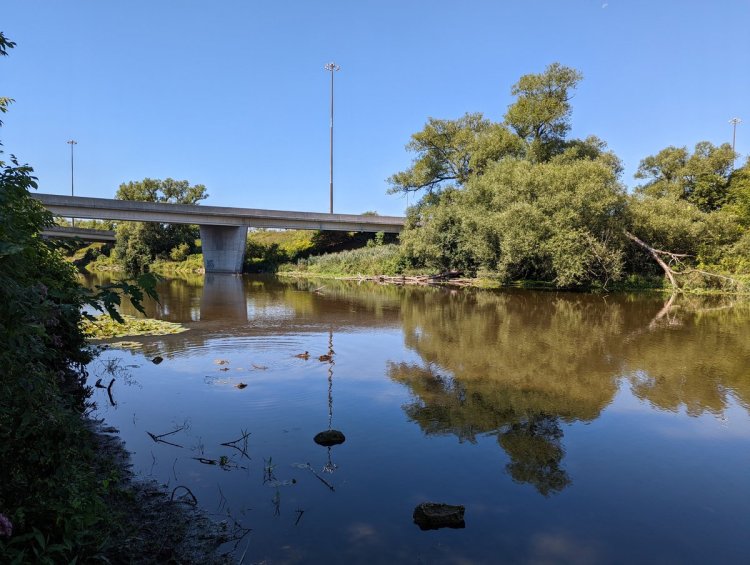
West of the transformer station, there’s technically a branch here. The pair of towers stick together across Highway 6 and through the wastewater treatment plant. Unfortunately there’s no River crossing between Edinburgh and Niska Road, so a very large detour is required.


After a beautiful but still irritating 2km detour along the Speed River between Highway 6 and Edinburgh Road and mouth of Willow Creek, we come back to the hydro corridor at the wastewater treatment plant.


Along the Speed River some more. At the southwest corner of the plant, the two sets of hydro lines split, right at the city’s technical border. One corridor heads along County Road 124 to Cambridge. We’re sticking with Guelph’s corridor to the north.


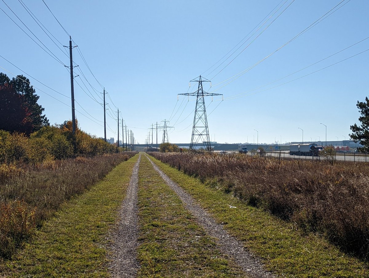
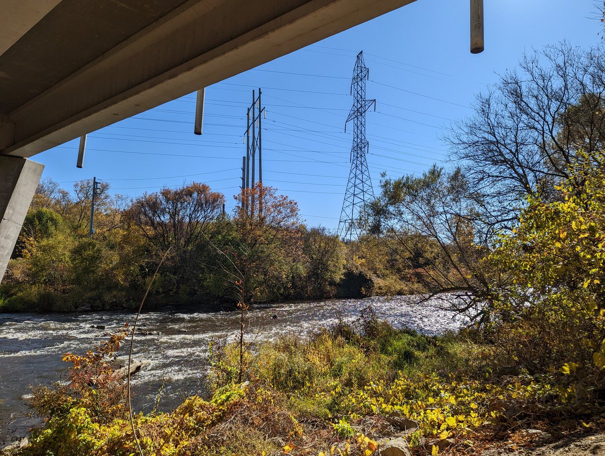
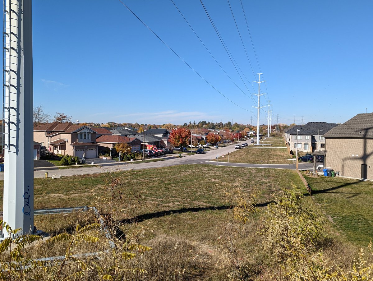
North of a railway spur into a fairly new residential area. The corridor flies over the confluence of Willow Creek’s east and west branches, and the GO Kitchener Line, and Highway 6/7. These things necessitate another detour, but you get back on corridor near Paisley Road.

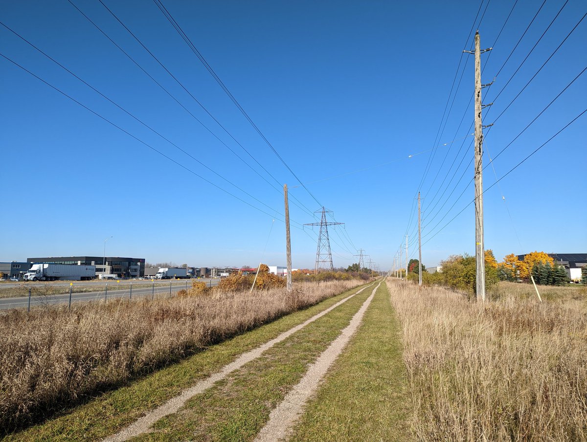
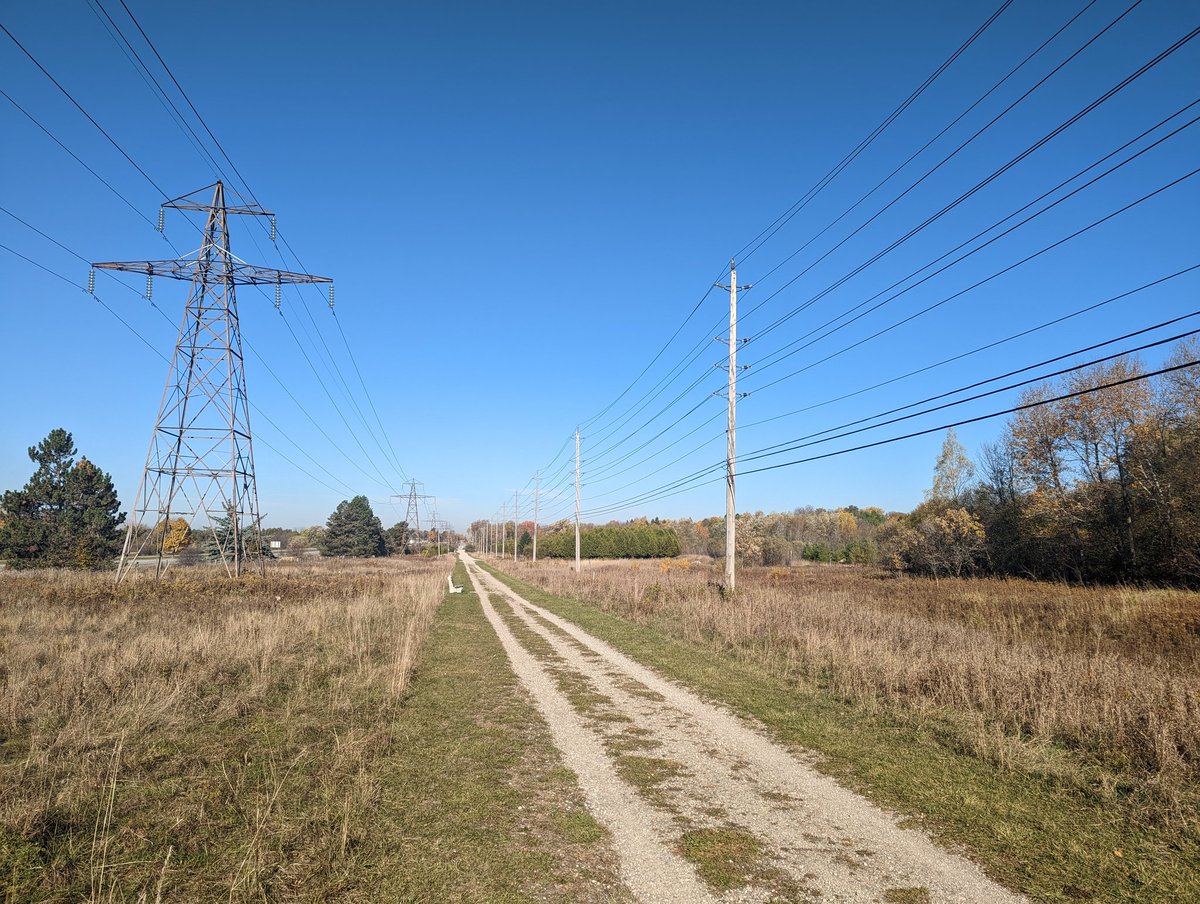
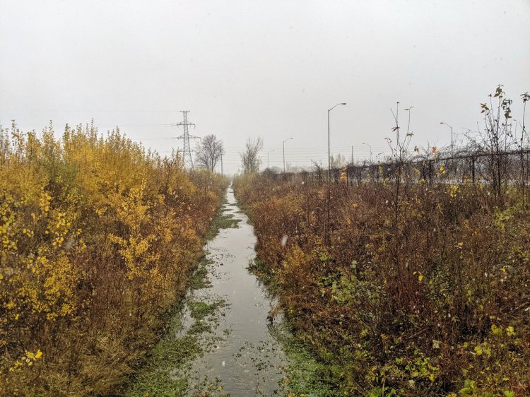
Now this looks like a typical hydro corridor. Lots of grass, a shoddy maintenance road. Not much in the way of something for public use. After crossing Westwood and Willow Roads, I come to a familiar stretch, where I previously followed East Willow Creek (Drain?).


Back into meadow and trees habitat, though this is along the backs of industrial and commercial lots, so it isn’t used. That said, I was walking through rain and saturated snow last time I was here, so it’s nice to be back on a warm fall day.


We’re now hitting the corridor’s northern jog, making a 90° turn east. It goes down the middle of Campbell Road, which reminds me of Commissioners Street in Toronto’s Port Lands, except each side is a separate two-way road. Given the opportunity here, this is surely unnecessary.


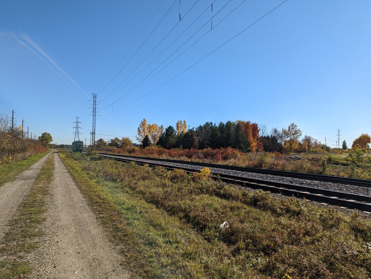
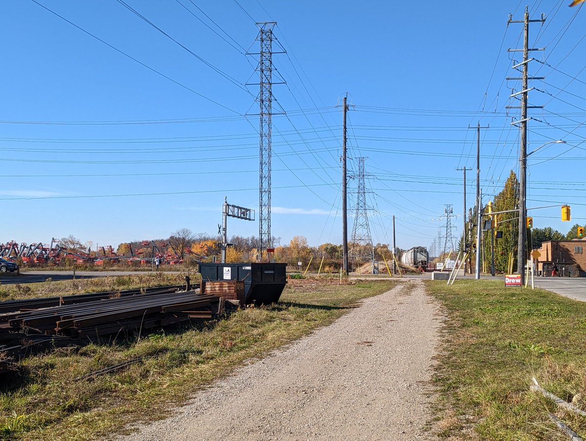
After routing through a transformer station, another 90° turn puts the corridor northward again. This time it parallels Guelph Junction Railway’s South Spur. This takes you up to Woodlawn Road. I was going to go further but industrial lots block it off. That’s today’s walk.


Date: October 24, 2022
Length: 19.0 km
Type: Utility

Related Walks
Intersecting river east and west
Speed (Guelph)
Intersecting river east and west (again)
Speed River II
Creek in parallel
Willow Creek
Intersecting railway east and west
Guelph Sub (Guelph)


Railway in parallel
Junction Railway
Creek upstream and downstream
Hanlon Creek