Good morning from west-central Guelph. Today I’ll be following Willow Creek, a tributary of the Speed River. I’m starting from the confluence beside the wastewater treatment plant. Let’s go.


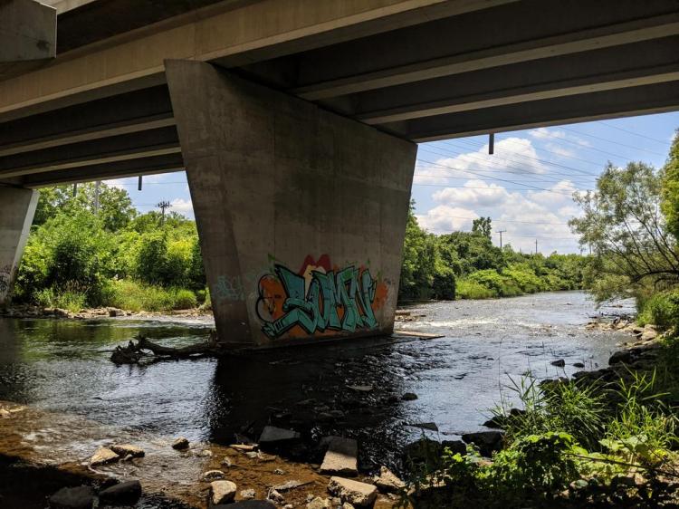
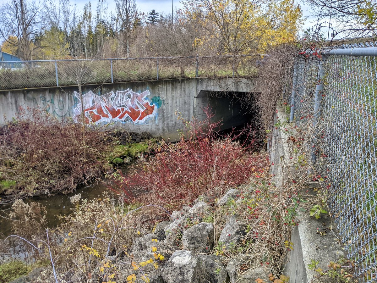
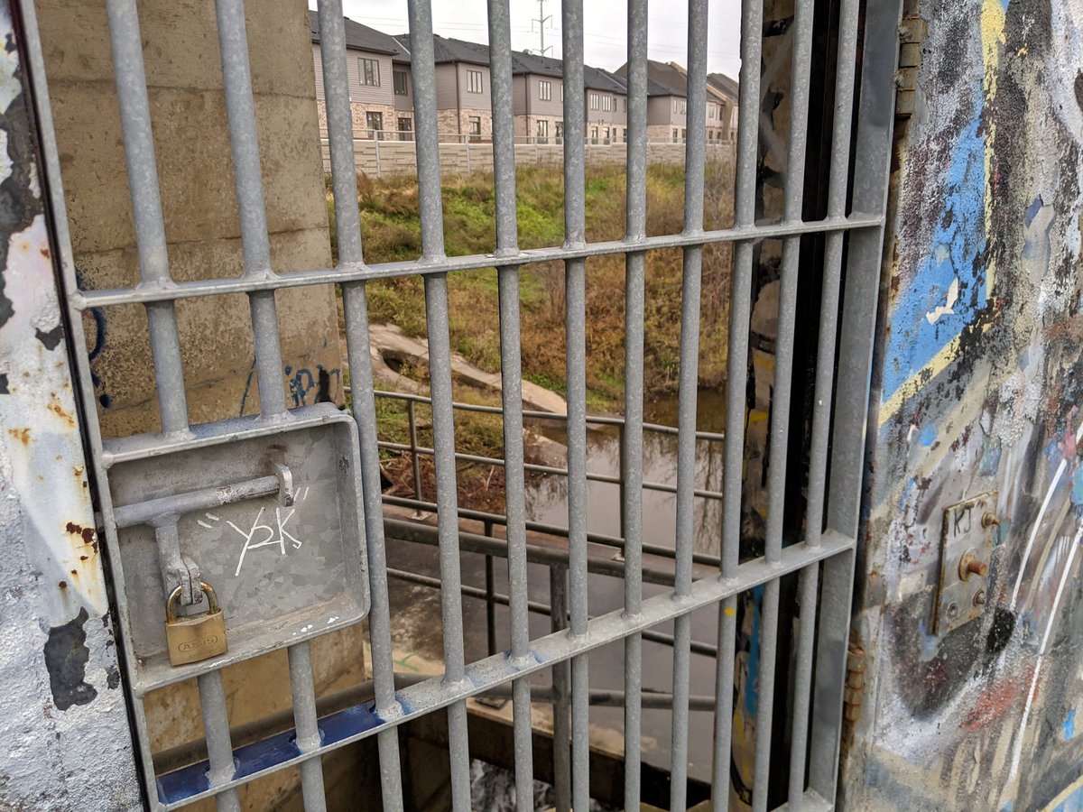
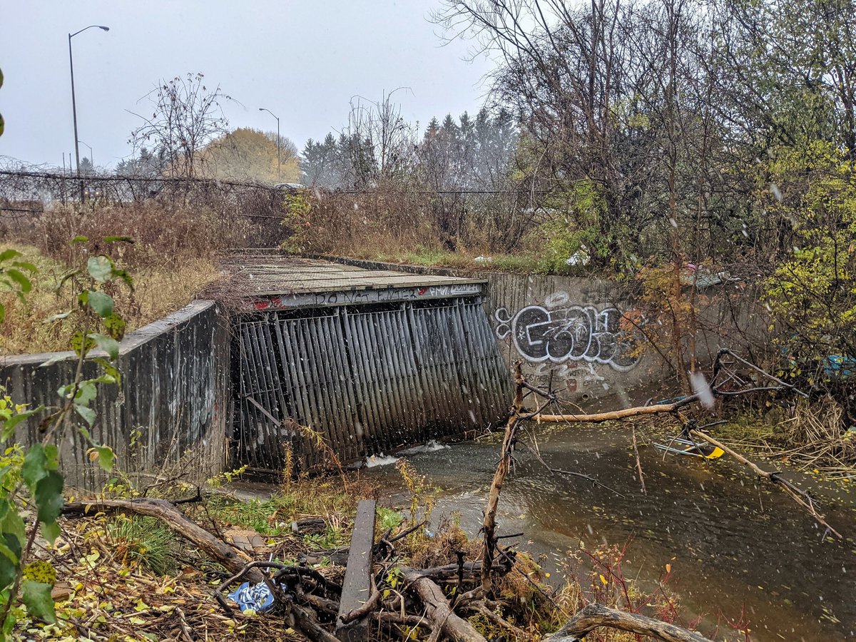
Right away, we come to a massive culvert under Wellington Street, the ramps to and from Highway 6, as well as a spur line between Guelph and Cambridge. Downstream end isn’t much, but the upstream is a massive jail-bandshell thing. Quite interesting.

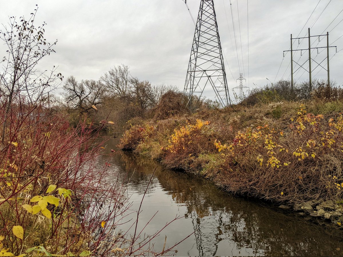
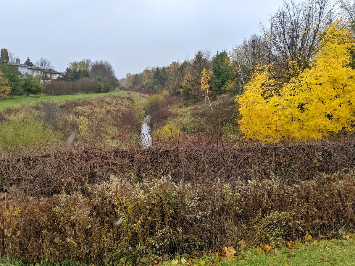
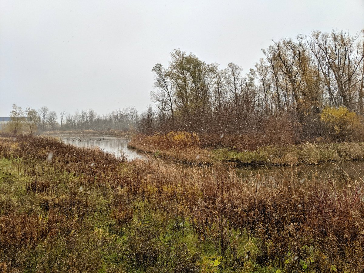
They call this “West Willow Creek” but I haven’t been able to trace the history of an eastern creek. There’s a confluence between two branches north of the interchange, so I’ll refer to it all as “Willow”, and these branches as west and east. Following the west one first.


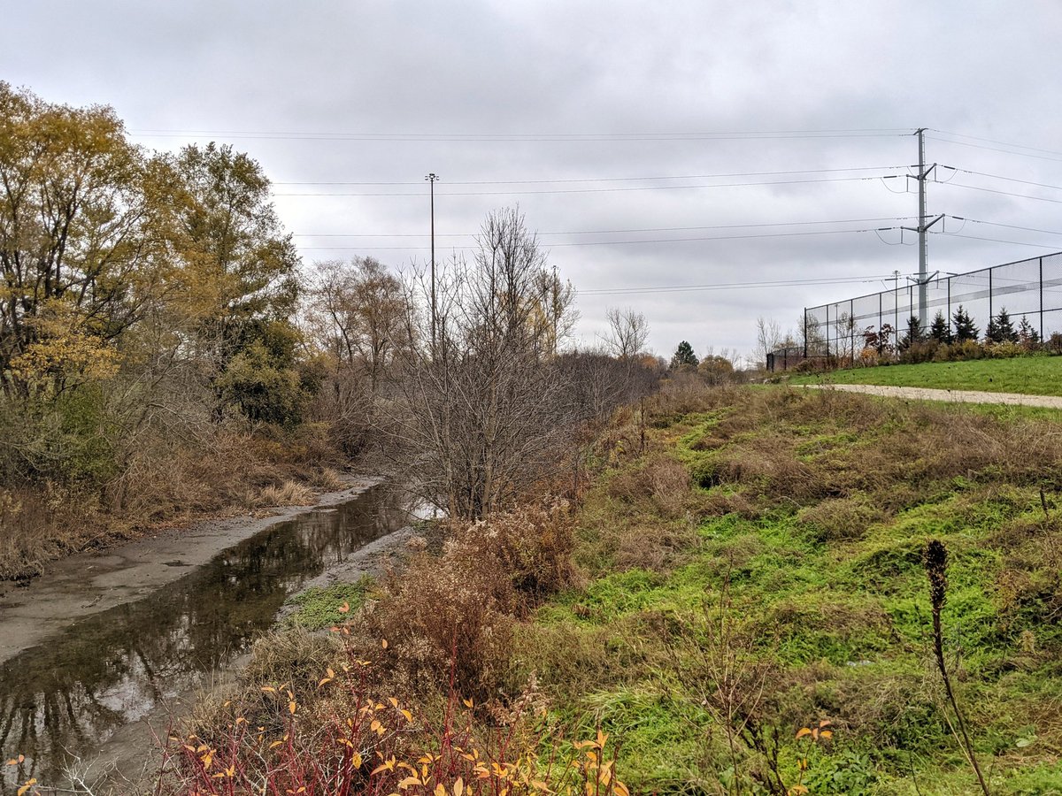
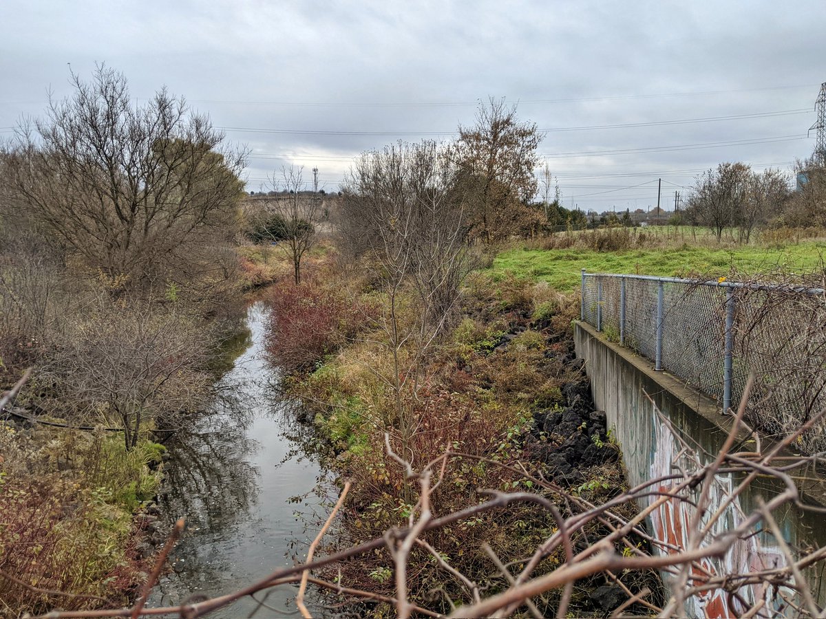
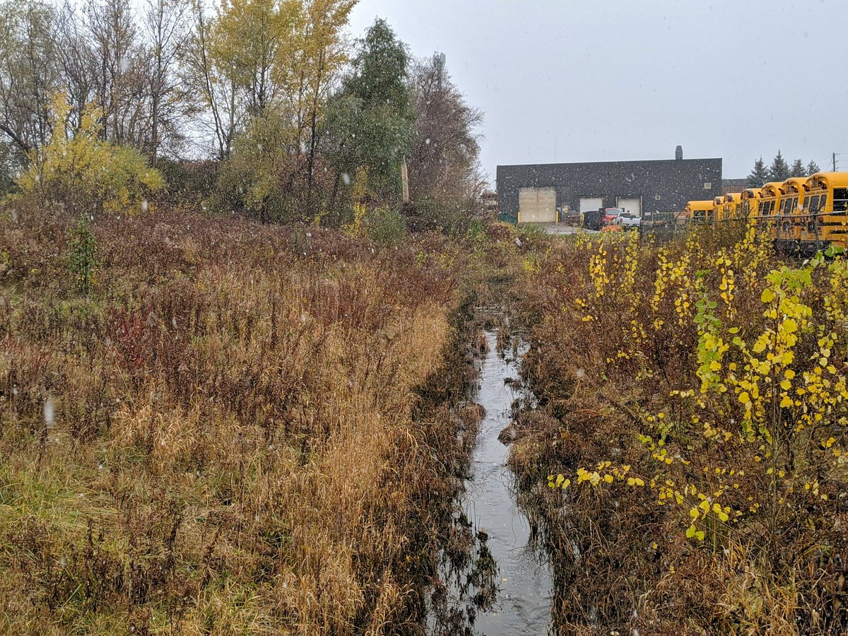
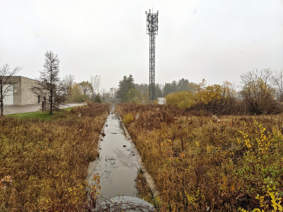
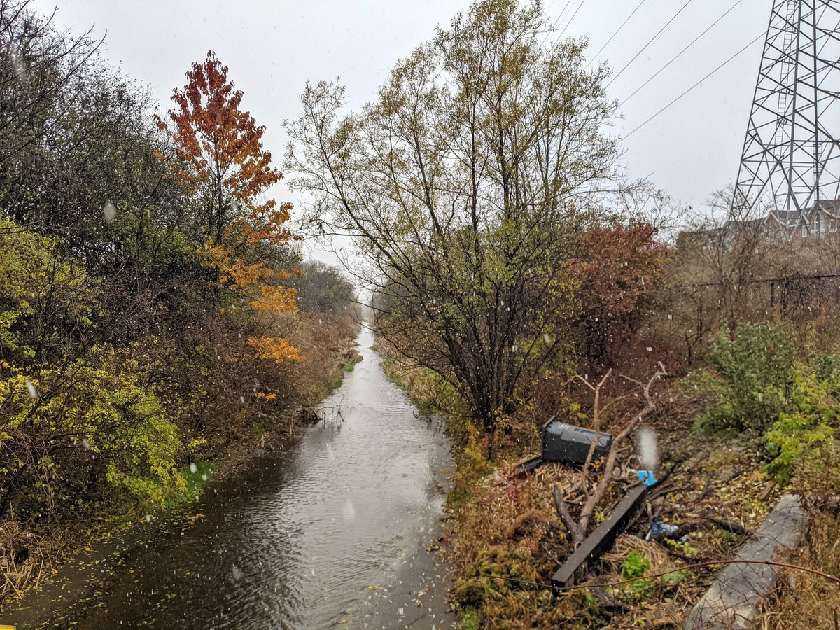
West Willow Creek is quite channelized, and the number of storm outlets makes it clear it runs hard and fast. It goes under Paisley, and into a wide trapezoidal channel. Following in parallel is helped by a footpath, which is not well maintained.


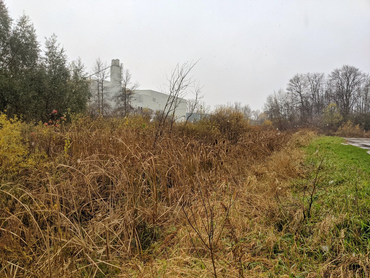
To Imperial Road, where the creek has to do some more manoeuvres through culvert structures under the road and the railway line to/from Kitchener. Past a storm pond, and a confluence with an unnamed tributary.


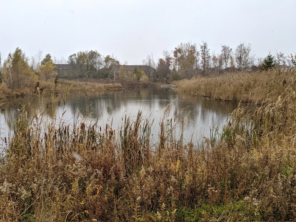
A quick detour to check out the tributary, but it’s not much to see. It’s fed by a stormwater management pond, and chock full of invasive phragmites. Across the road in Mitchell Park marks the headwaters, but there’s no surface streams here. Back to the main branch.


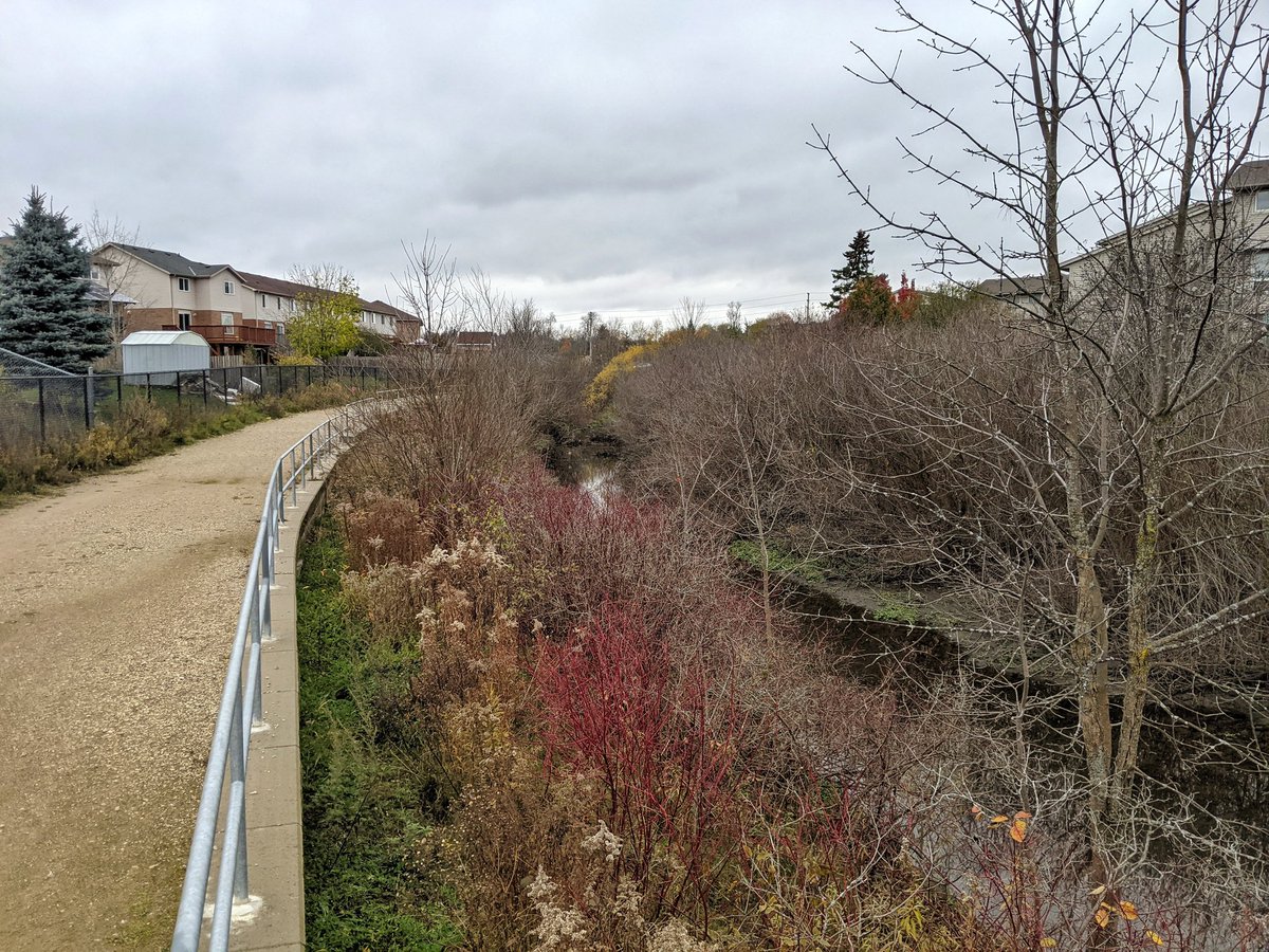
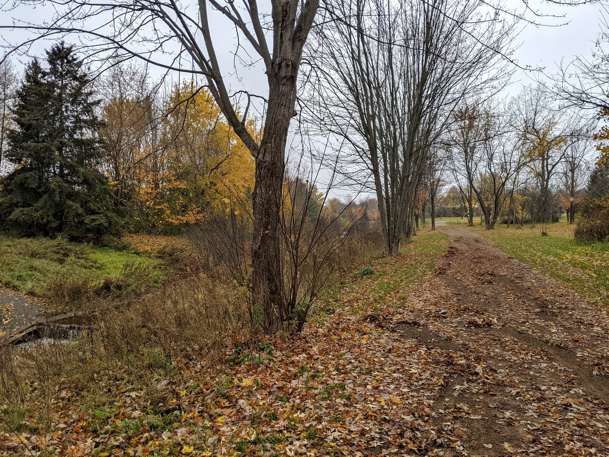
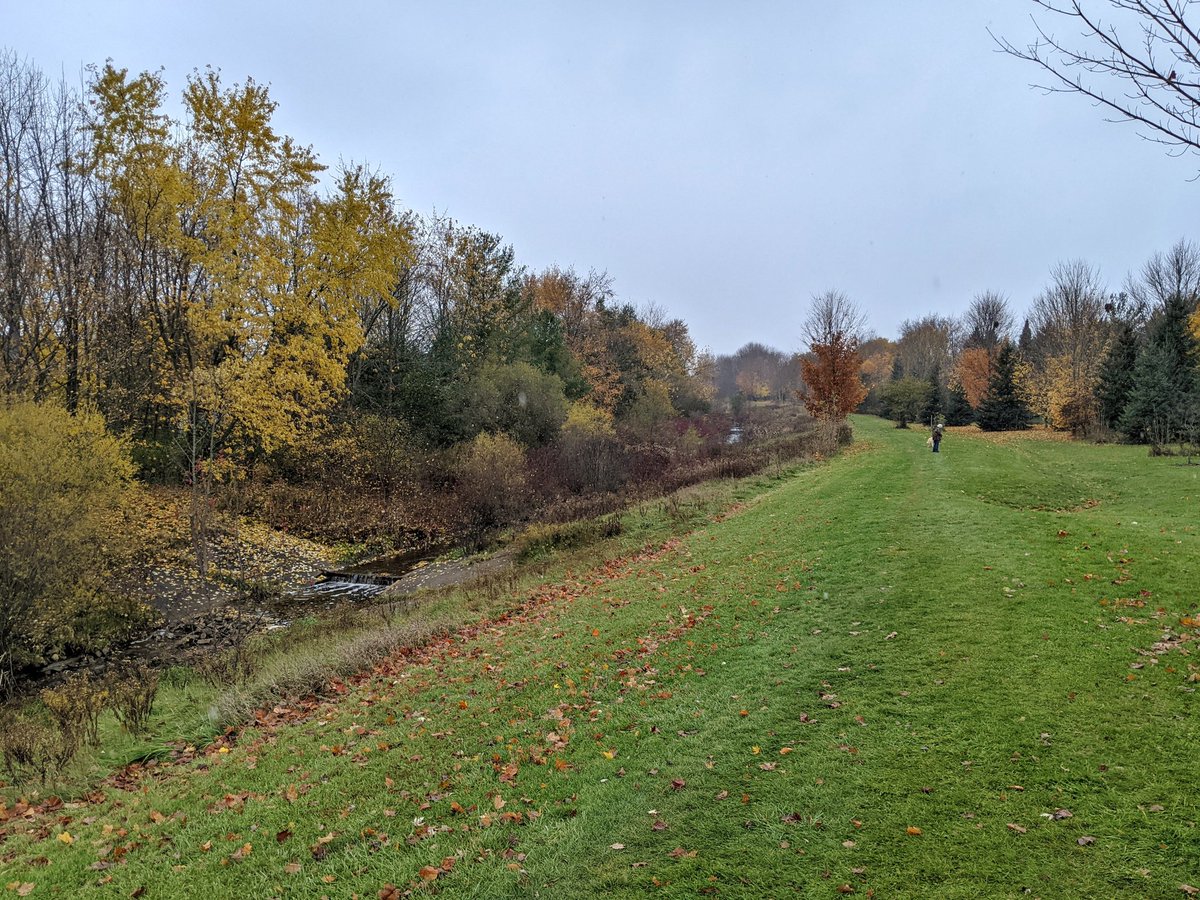
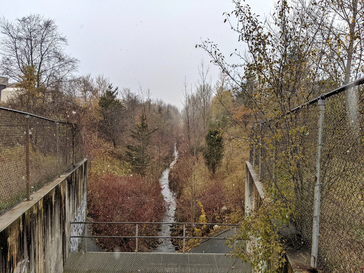
The graduated steps along West Willow Creek’s concrete channel continue north. It’s still a trapezoidal thing, but at least it’s still well vegetated with trails on the bank. Eventually the creek is somewhat lost, going into a pipe at Thornhill Drive.
Exploring the lost reach, just like in the Toronto days. You think you know where this is piped, but the terrain makes me second guess myself.


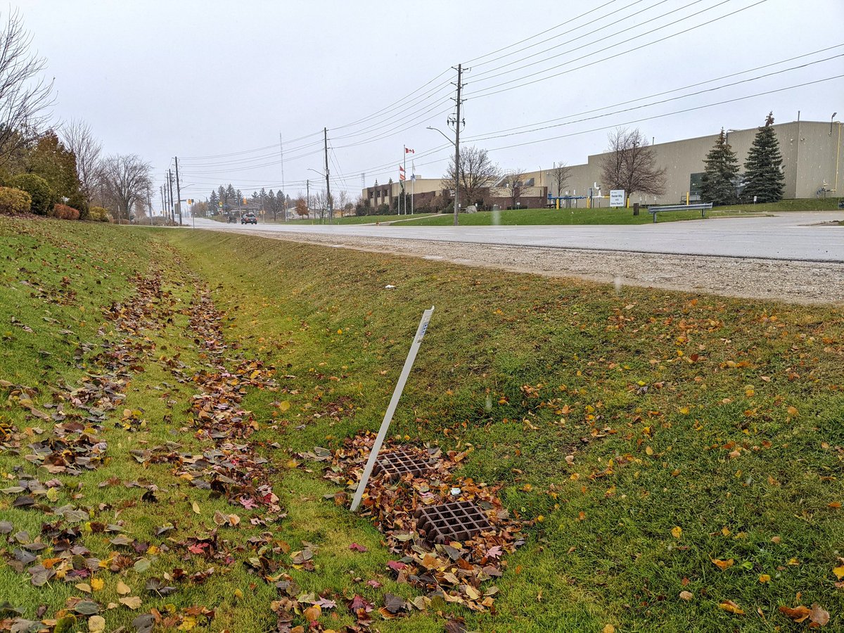

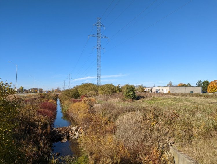
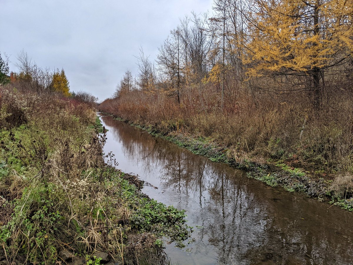
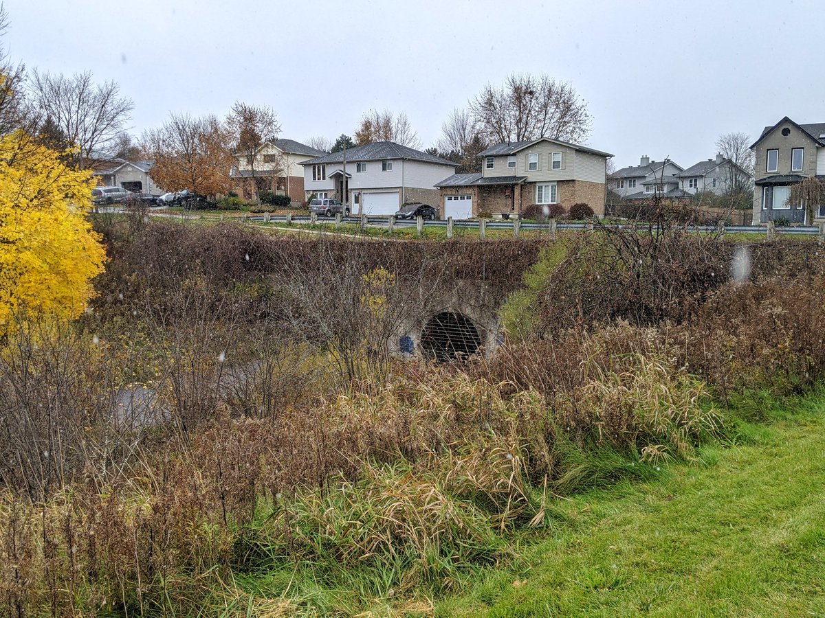
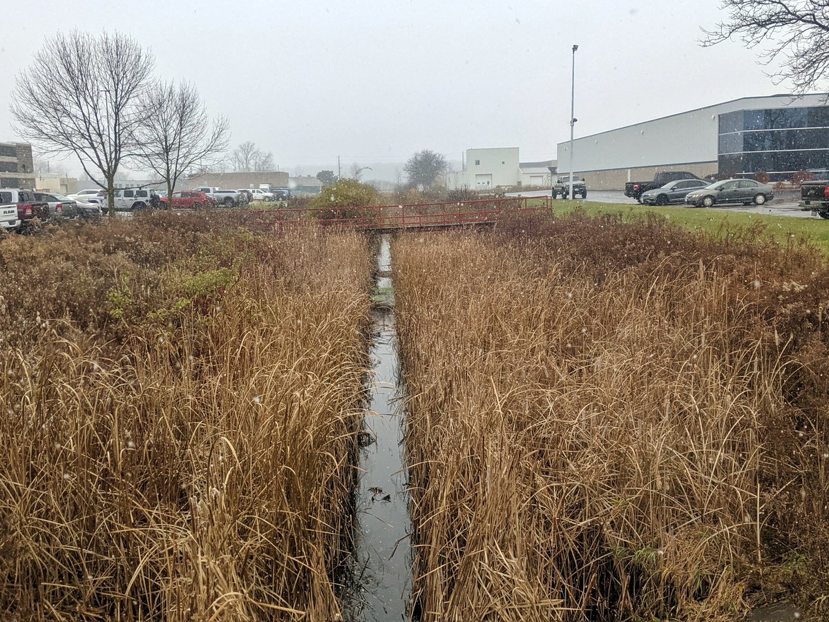
After some more wandering, I come back to an open channel. All the warning signs, concrete and fencing confirms this is quite flashy and deals with a lot of runoff. This main channel is fed by roadside ditches all around, and ends at the north border of the city.


Now onwards to hunt down East Willow Creek. First shot is wandering around this massive swamp behind the movie theater. Looks like a headwater, but no sustained surface flow.

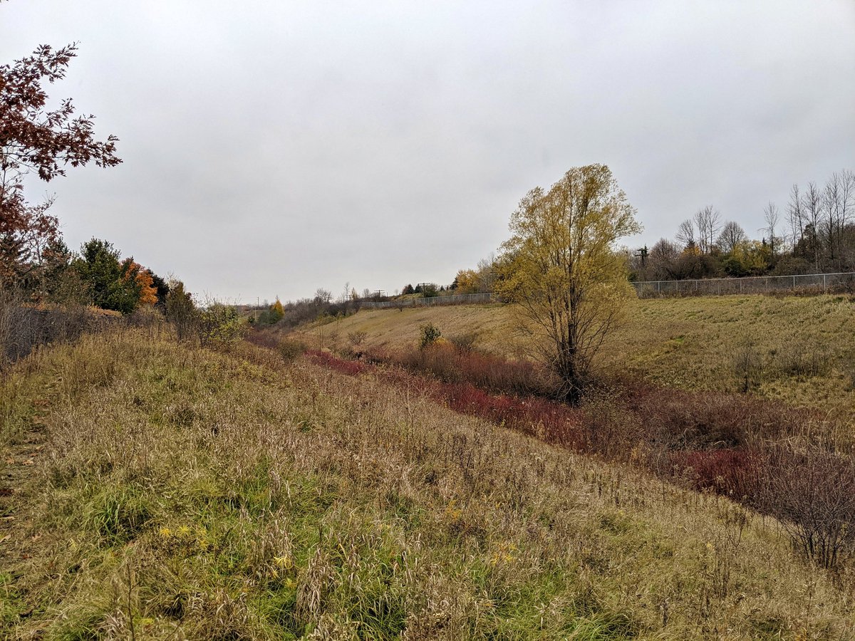
A little further east and I’ve found a main channel. Looks a lot like the upper reaches of the west branch.


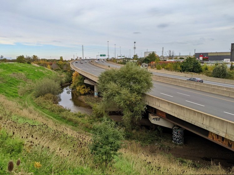
East Willow Creek continues under Woodlawn and behind a strip mall until butting up against an industrial railway spur. It then goes under the Hanlon Expressway.


There’s not too much to see as the creek (if you can call it that) parallels the Hanlon southwards. It’s more of a ditch than anything.


Between Speedvale Avenue and Willow Road, east of the Hanlon Expressway, East Willow Creek disappears into a pipe. And so ends my pursuit of Willow Creek and it’s tributaries.
Date: November 14, 2021
Length: 21.0 km
Type: Riverine