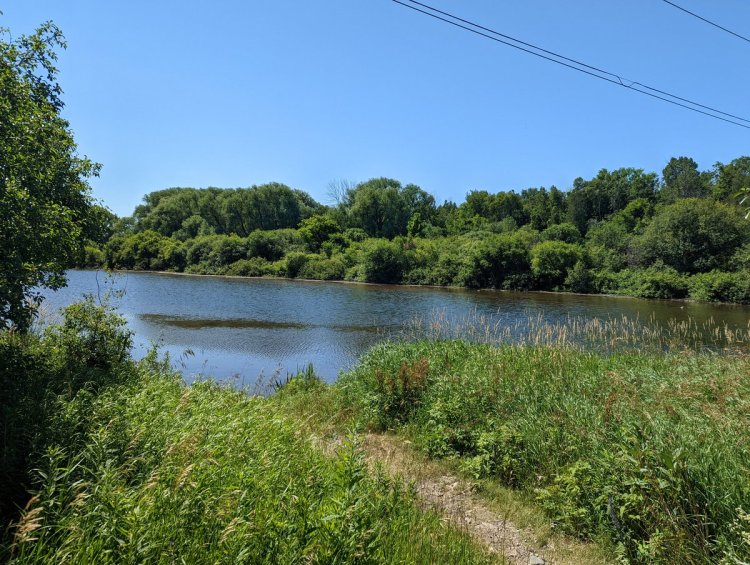
Good morning from McMaster University. I’ve taken a day off work to do a walk. I’ll be following a hydro corridor from Cootes Paradise, up the mountain and along the south edge of the city’s built boundary. Let’s go.


The corridor starts in a large transformer station in Cootes Paradise, and sends a small branch to another station at McMaster. The main corridor climbs out of the valley and goes south. Large variety of tower vintage and design here.


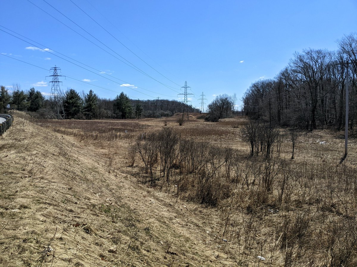
A big detour around a big creek. I may have been able to jump over somehow, but didn’t have faith based on what I saw downstream. Continuing south from Main Street towards the escarpment. Also digging the towers on the east side of the corridor, unique from others I’ve seen.


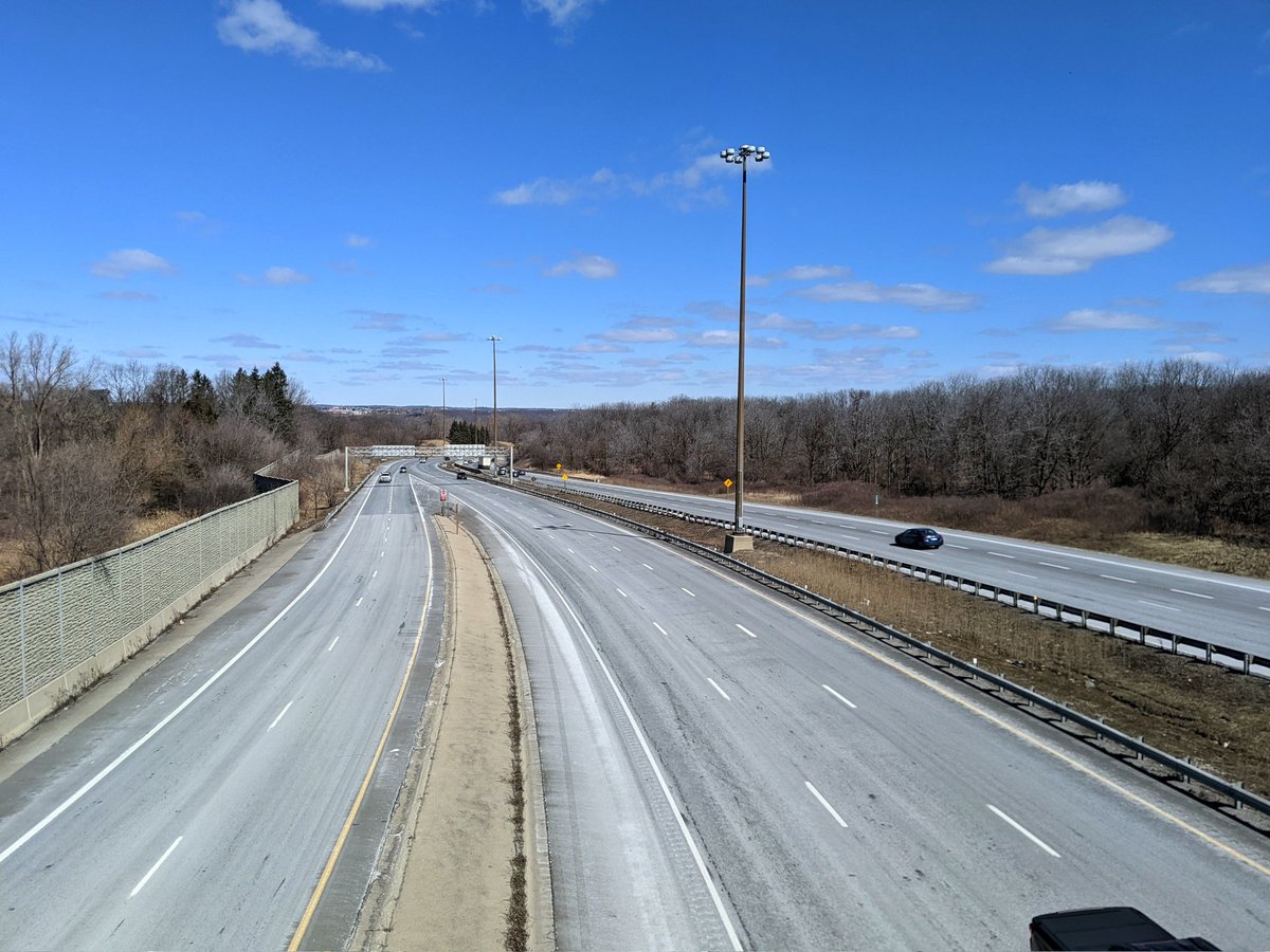
The main corridor comes to an intersection with a smaller corridor going east-west parallel to Chedoke Creek. It climbs over the 403 and the escarpment brow, which means I gotta detour again. Fortunately I can follow the smaller corridor west while I’m at it.


Wandered right into White Chapel Memorial Gardens, which is a beautiful spot. Not able to exit on the west side, so have to get out to Main Street again. From here, the smaller corridor goes into Dundas Valley. I will leave it there to carry out my detour over the 403.


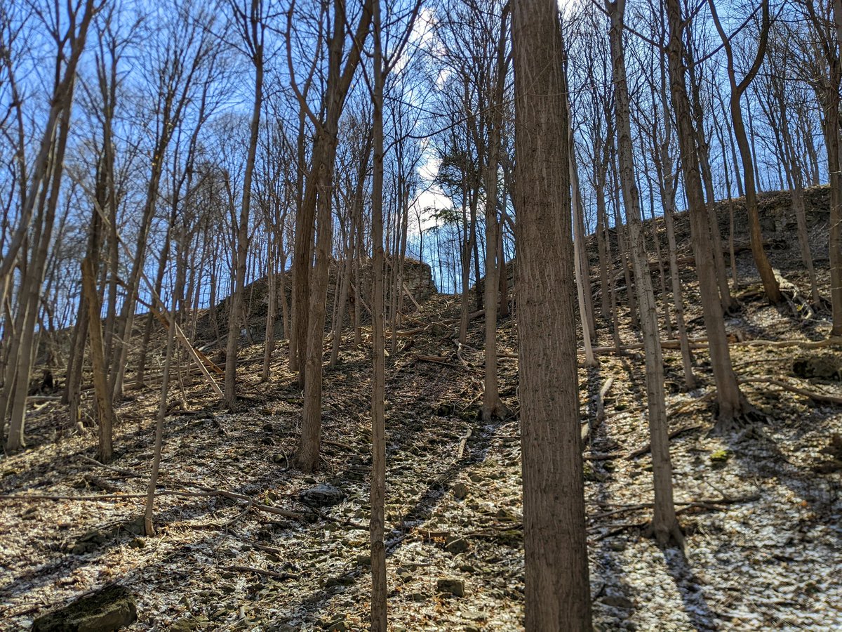
I pick my walks according to the season. I choose hydro corridors and rail lines predominantly outside of the growing season. I also focus and don’t dwell outside of the thread topic, so not sharing a lot in this detour. Gotta say though, these parts of the Bruce Trail are sweet.


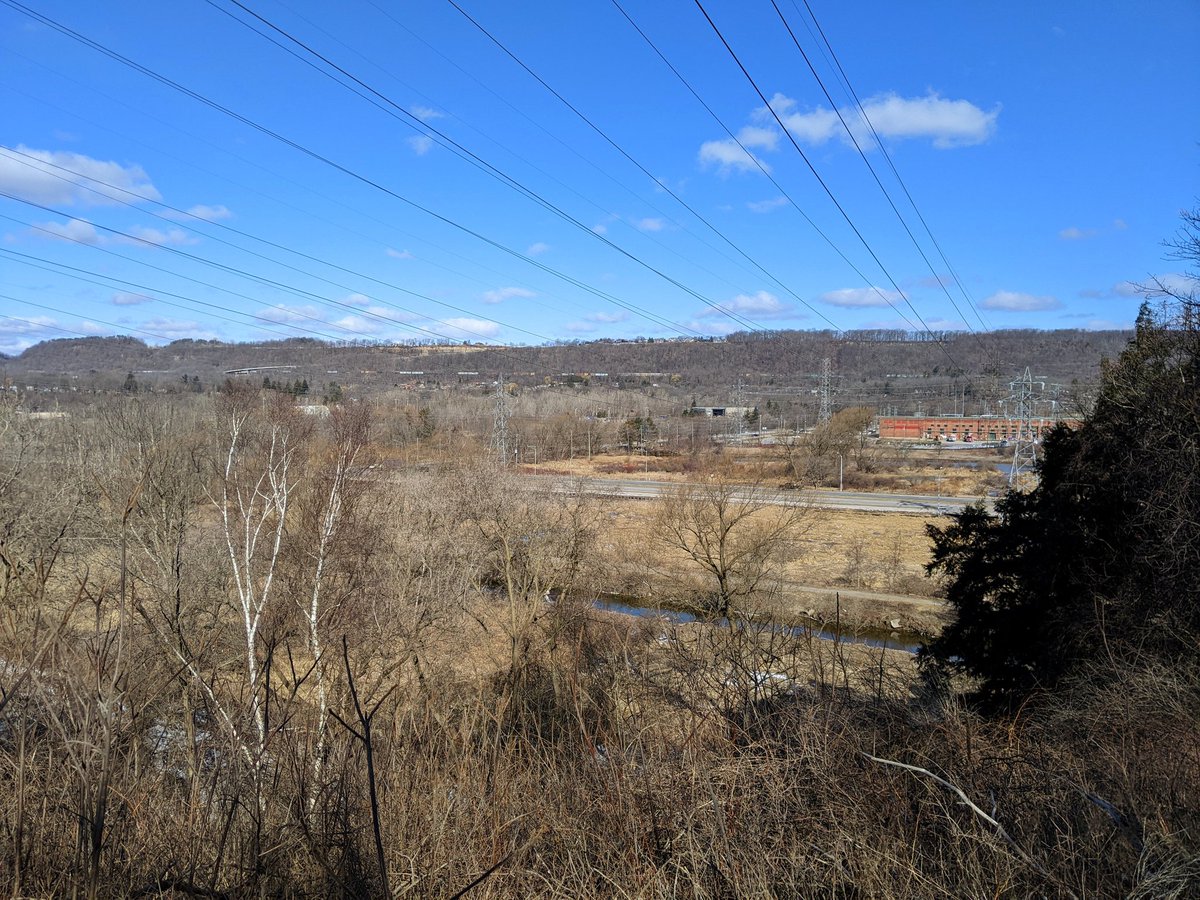
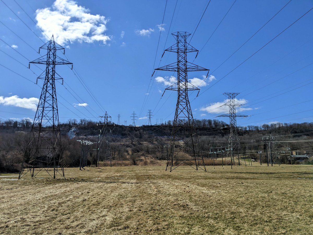
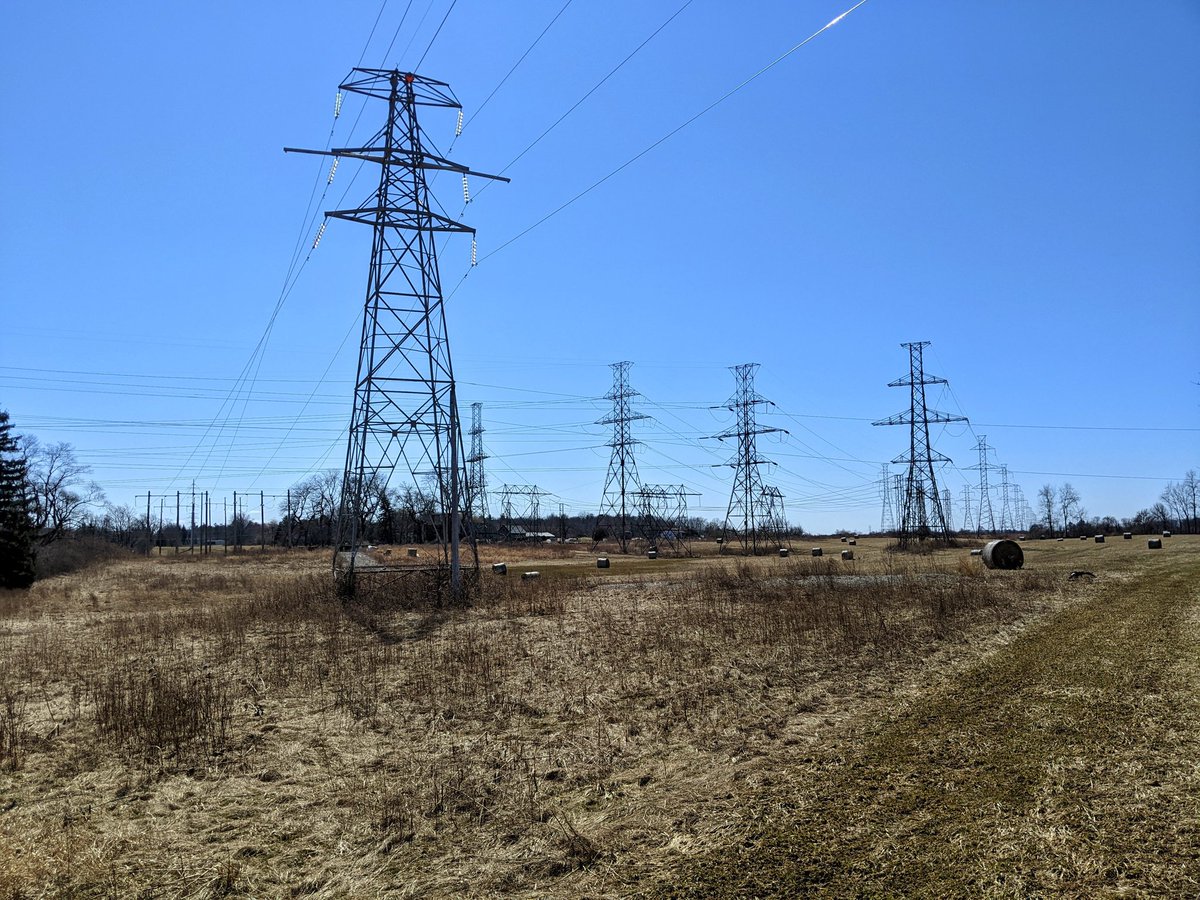
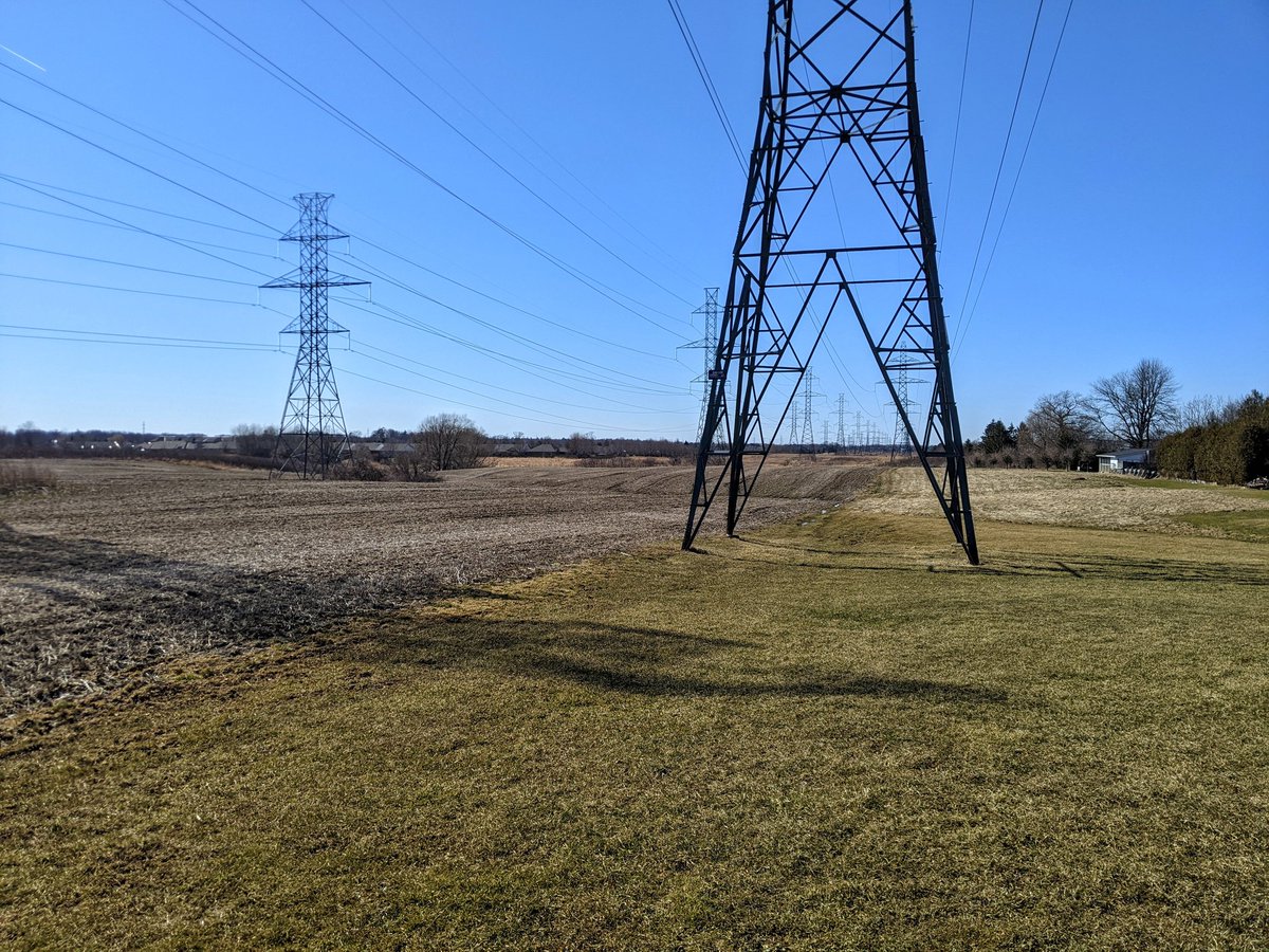
Back to the main corridor, after a massive detour horizontally and vertically. Towers perched on the mountain brow haul the lines up and across grassy fields towards the LINC.

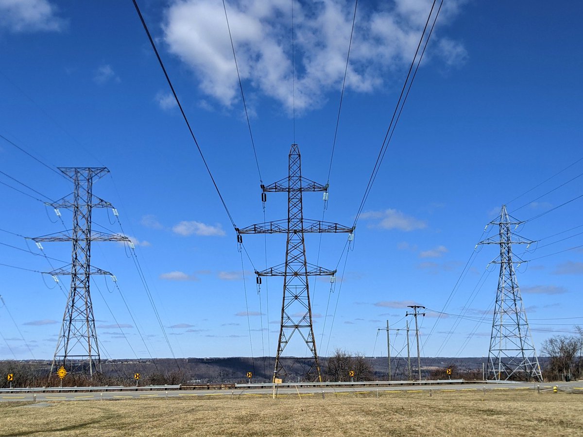

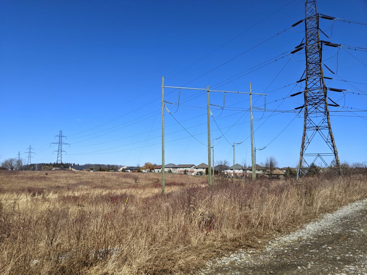
Just north of the LINC, there’s a fork in the corridor. The western set of lines breaks off and cuts through the Meadowlands neighbourhood. The two eastern sets head into wetland areas unsuitable for walking in, so once again I’m just zigzagging away here.
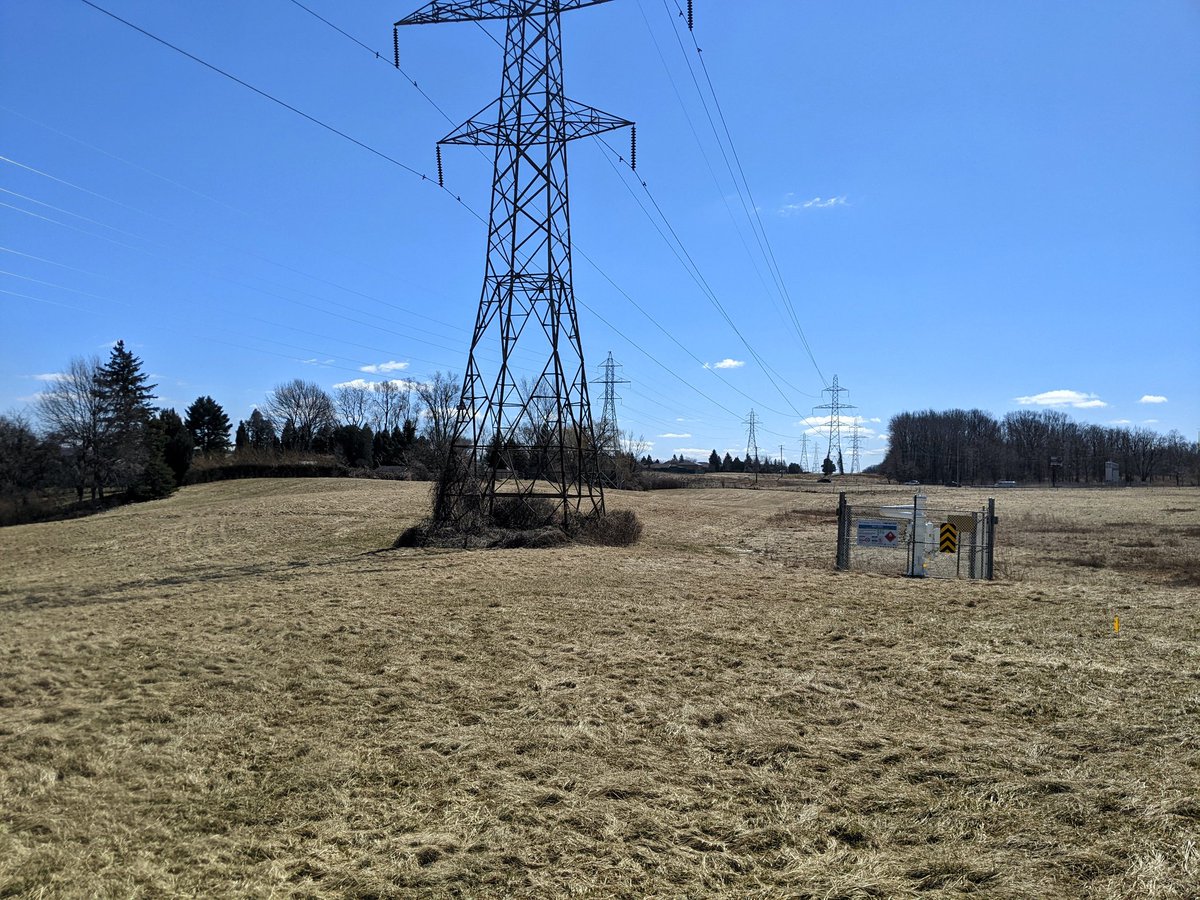


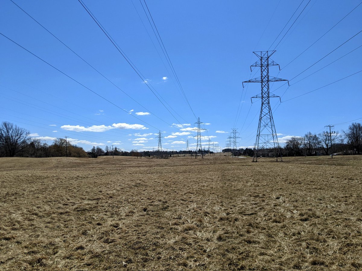
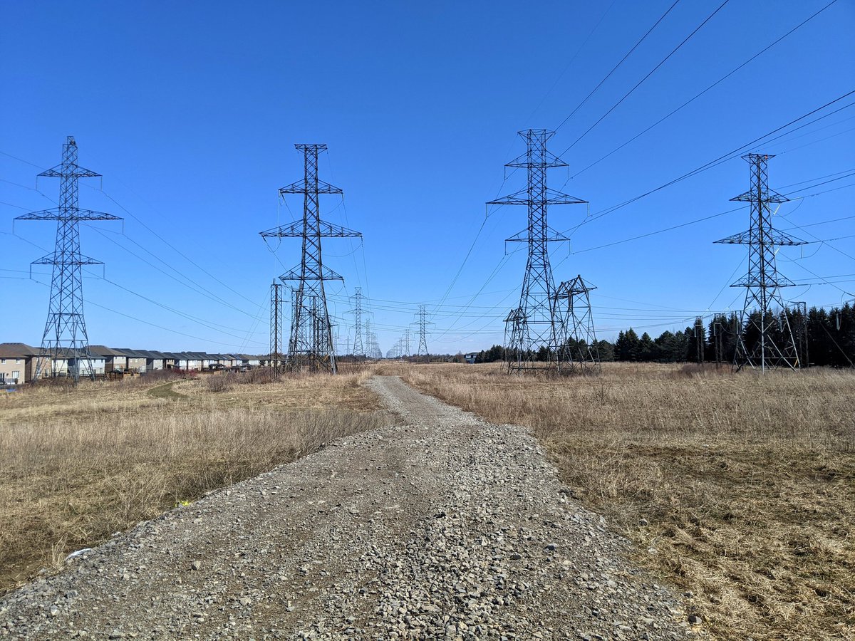
Finally back on track here. Not going to try and explain the minutiae of what’s happening here, but in summary, there are multiple splits and junctions as the main corridor I was following intersects a larger hydro corridor that is between Rymal and Twenty Roads. Now I head east.

The walk is long and difficult. I had bet on the past couple cold nights helping freeze the ground. But the sun is strong, thawing these headwaters of Twenty Mile Creek and making them mucky. Gotta tap out at Upper James, and call an end to today’s walk.


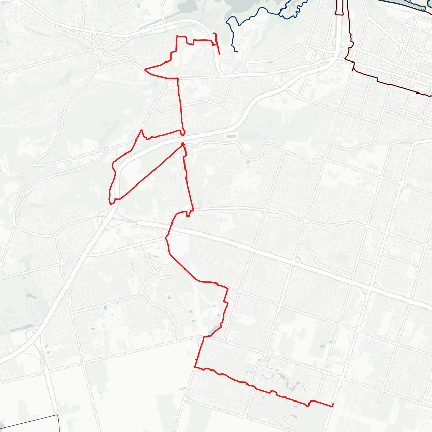
Date: March 29, 2022
Length: 19.6 km
Type: Utility
Related Walks

Lake tip at the edge of the source transformer station
West Harbour / South Cootes
Intersecting hydro corridor and rail trail
Dundas Valley Hydro / Rail

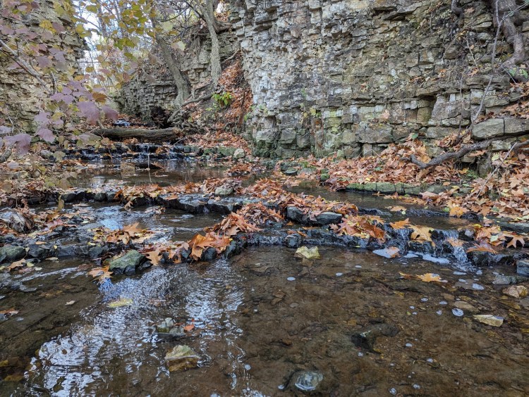
Intersecting creeks and waterfalls
Chedoke Creek