Good morning from Cootes Paradise. Today I will be following Chedoke Creek and some of its tributaries. Hoping to catch a few waterfalls on the way. We’ll start from its confluence down in Cootes and head upstream. Let’s go.
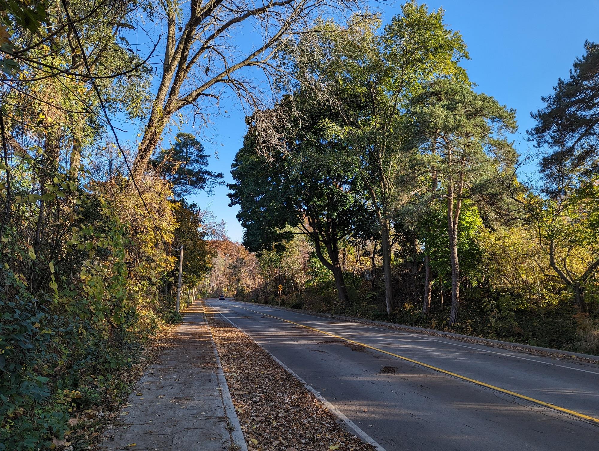


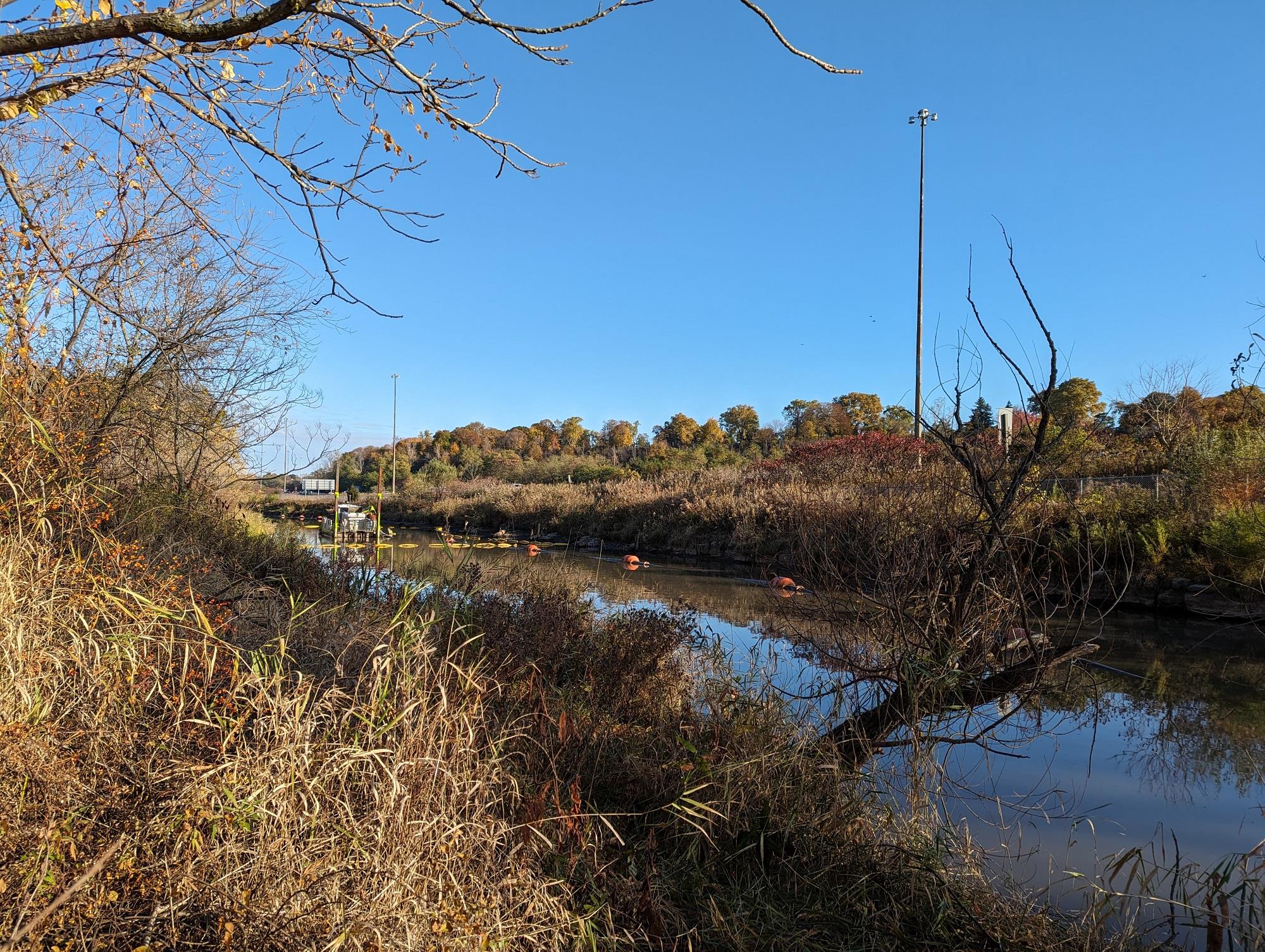
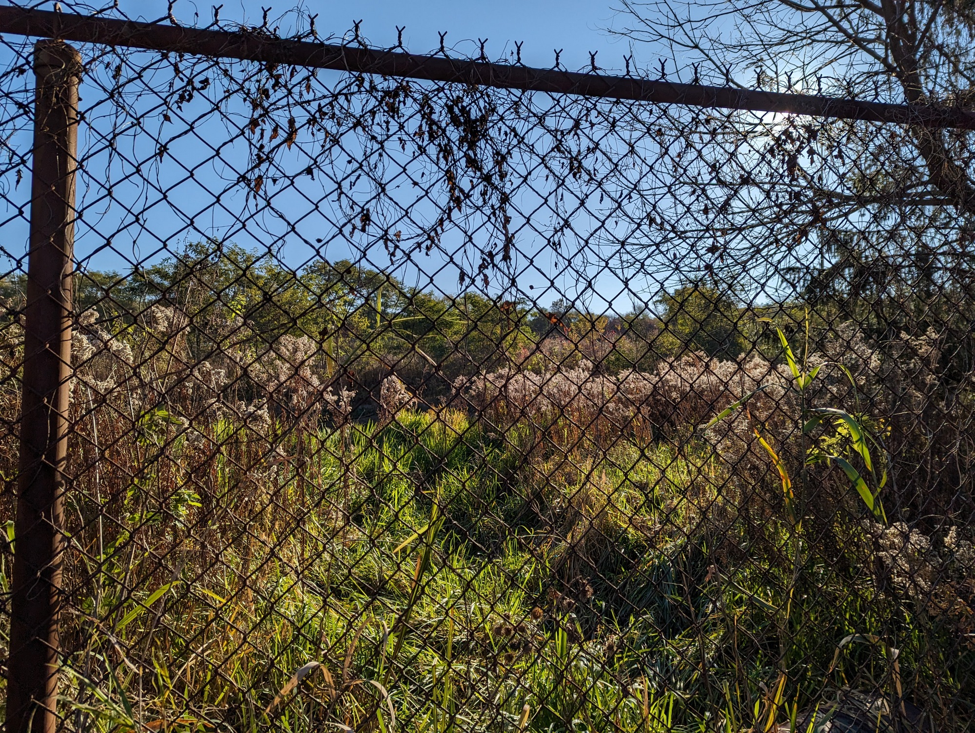
The lower reach of Chedoke is a mess still from a large multi-year sewage spill. Some dredging work is currently happening in targeted spots. There’s still a decent footpath open beside it until the west access to Kay Drage Park. Then the creek is fenced off.


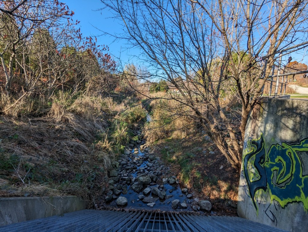
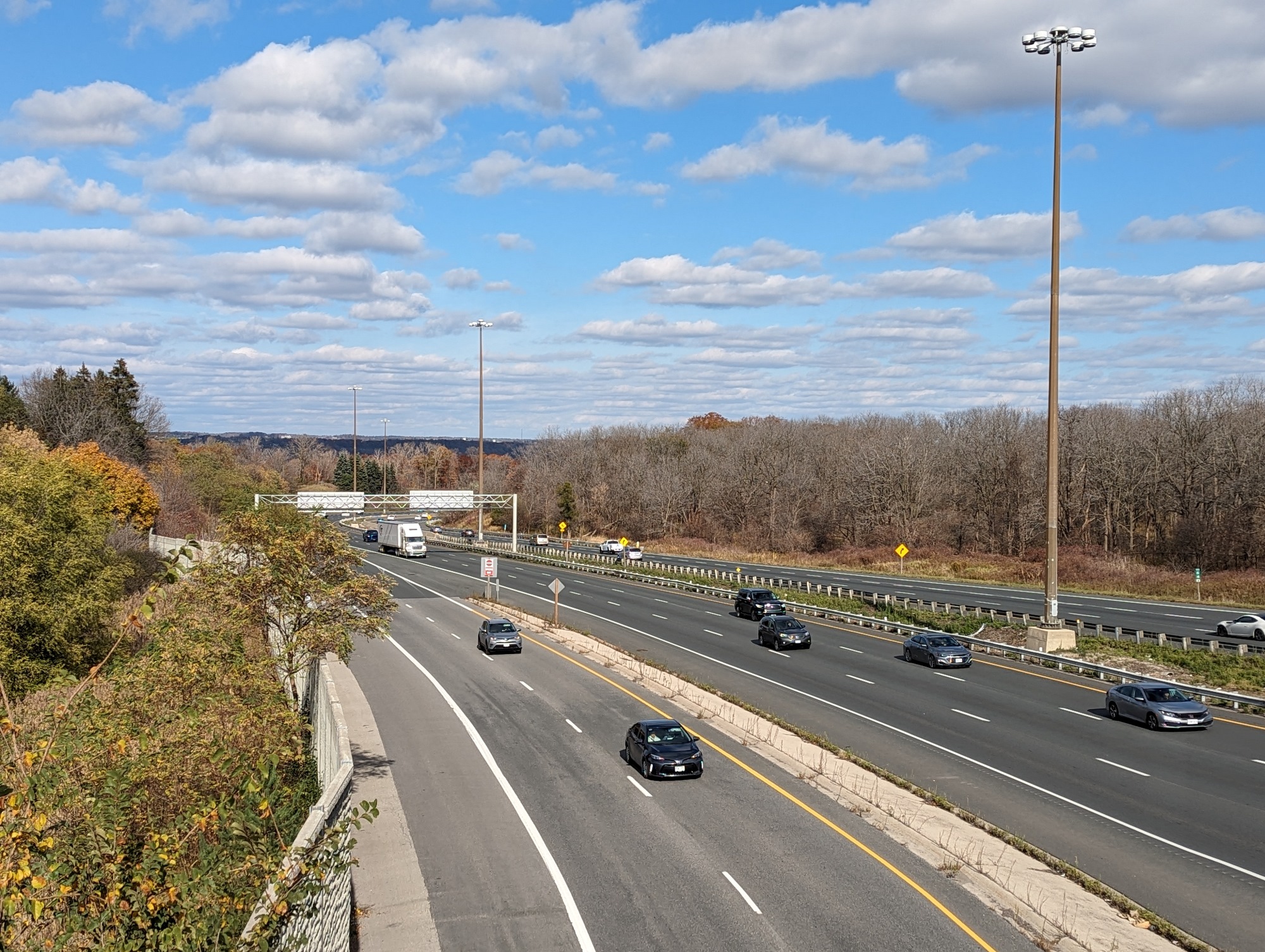
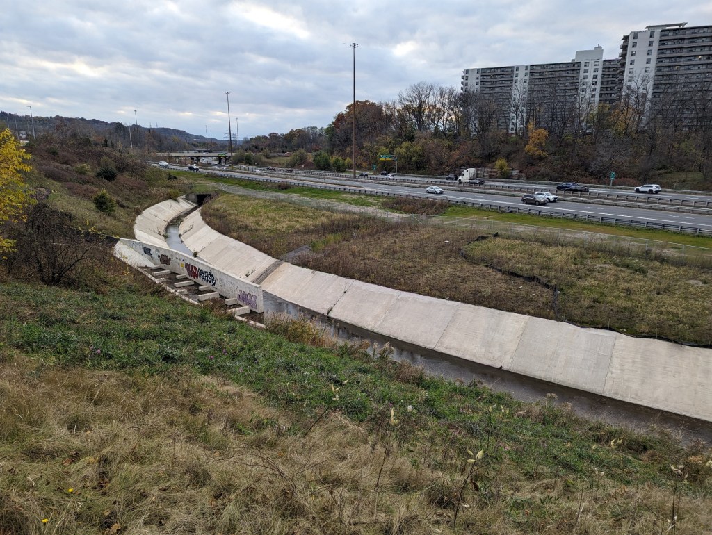
After getting pushed to Macklin Street, there’s a glimpse of the creek at Glen Road, where it pops out of a culvert. It’s then buried until south of Main, where we come to a concrete channel next to the 403.

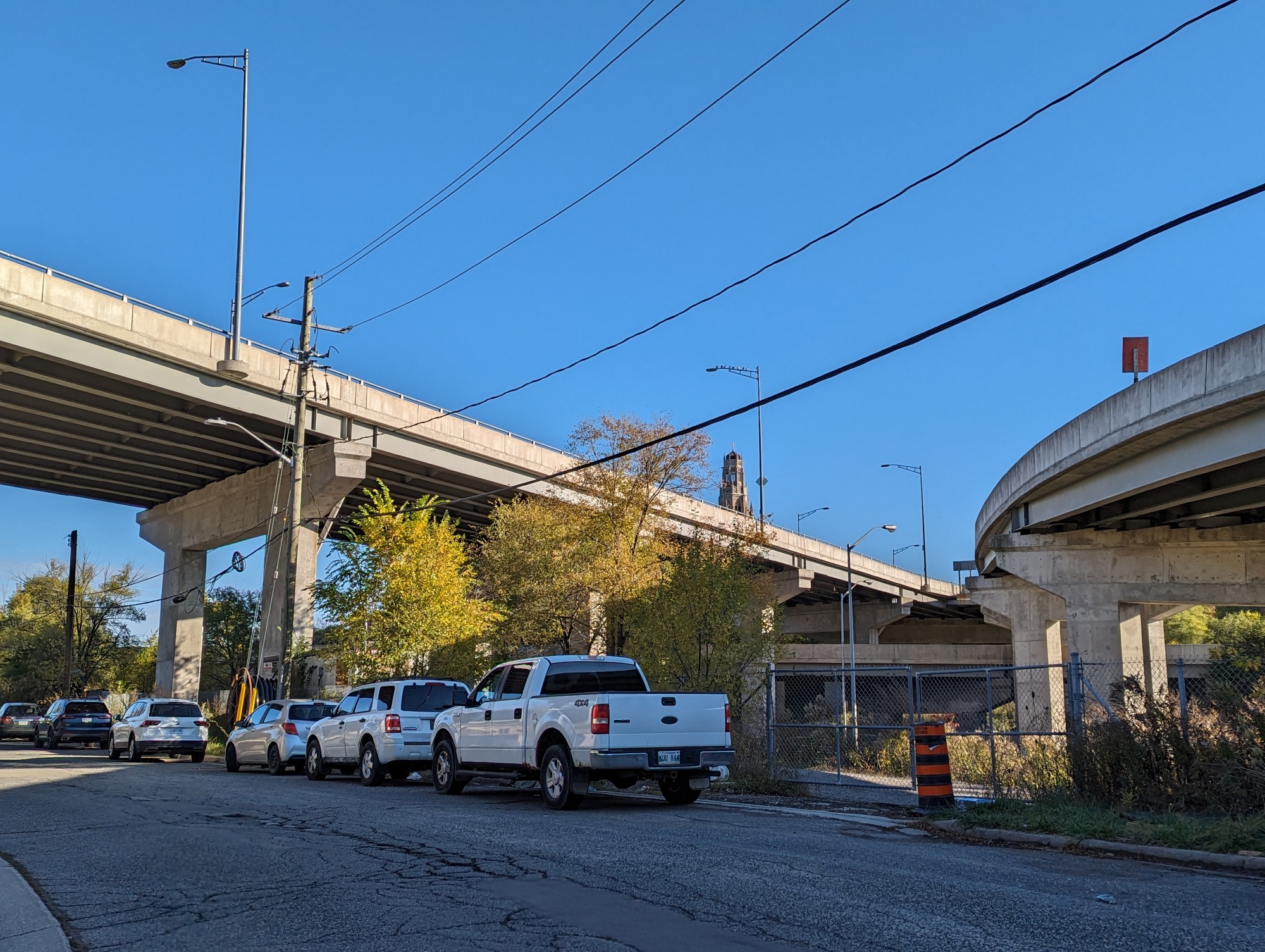
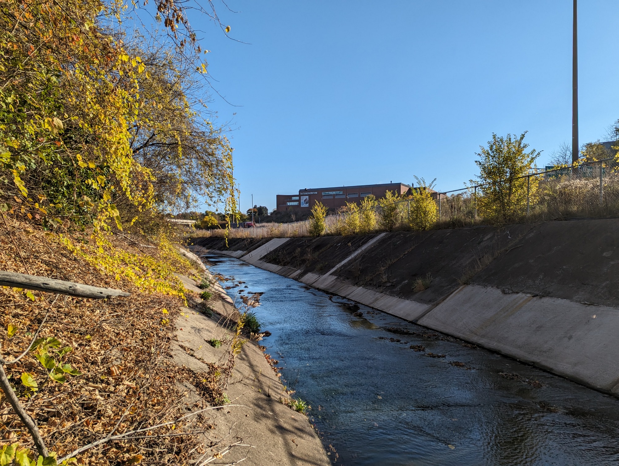

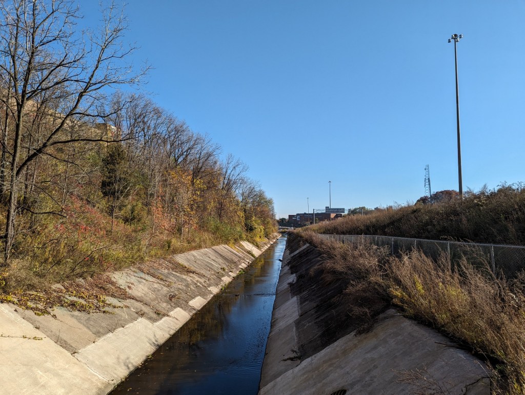
Most concrete channel walls I walk along are less steep than this. These tested my ankles. The creek dives into a culvert at the Longwood Road overpass, but instead of proceeding straight, it actually curves to the south side of the 403 for a bit. Fences and highway ramps push me out of the valley.


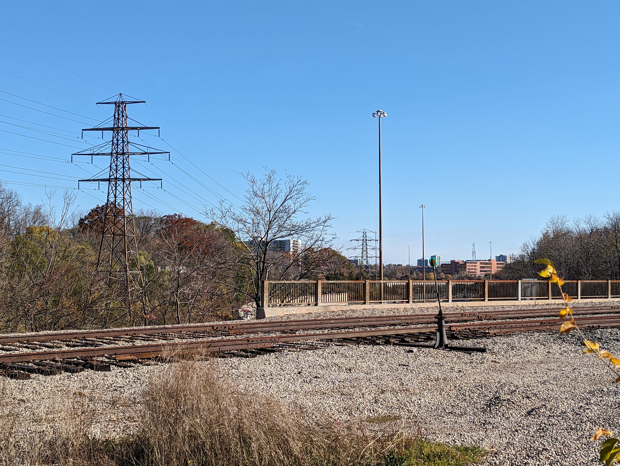
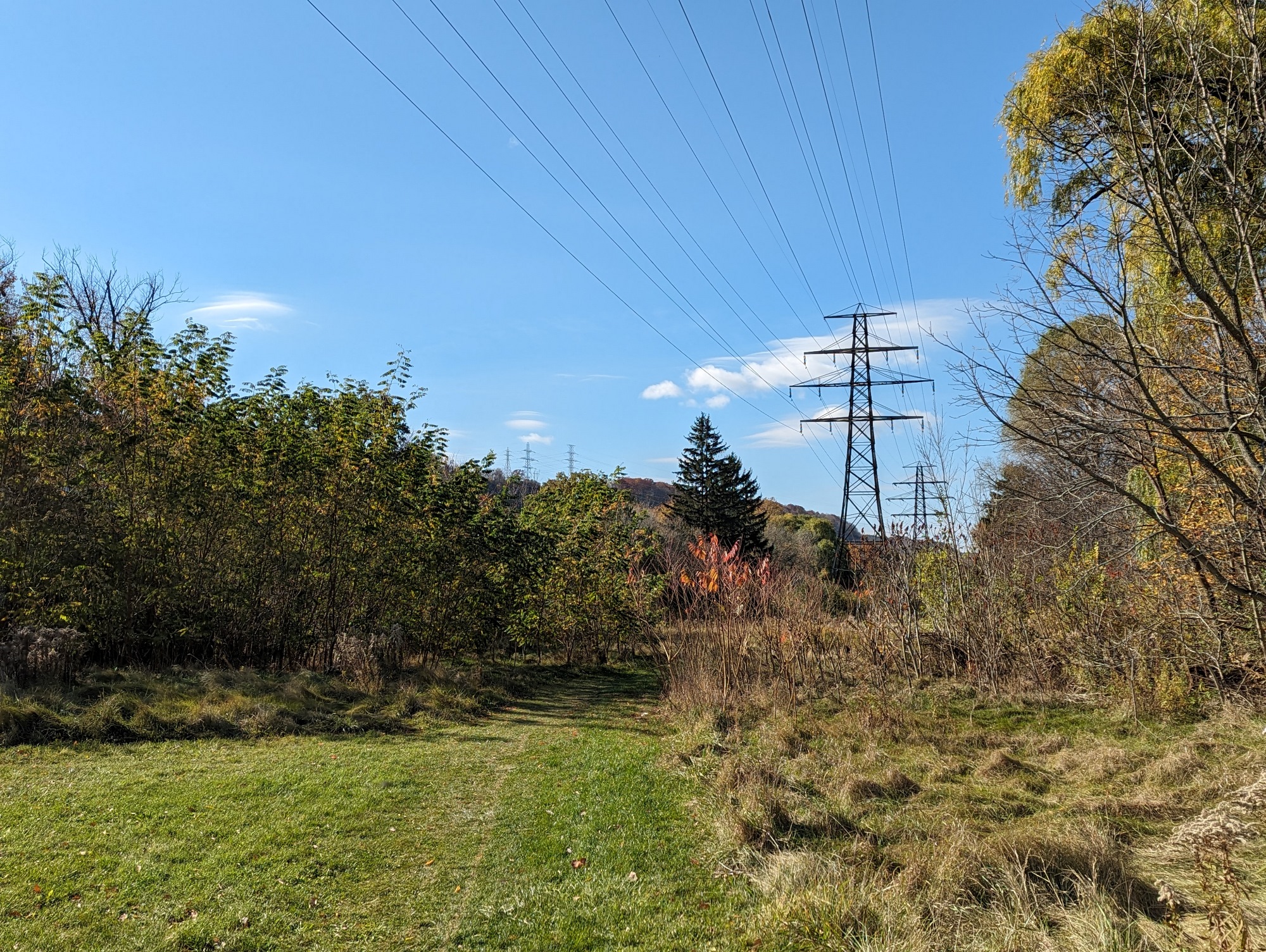
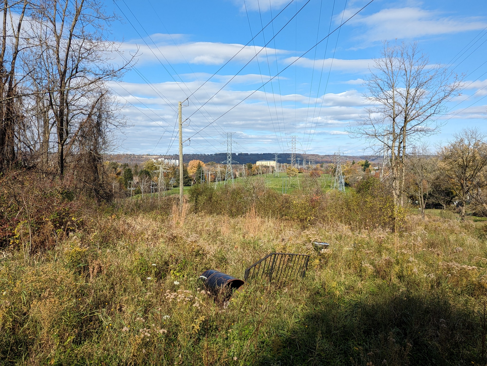
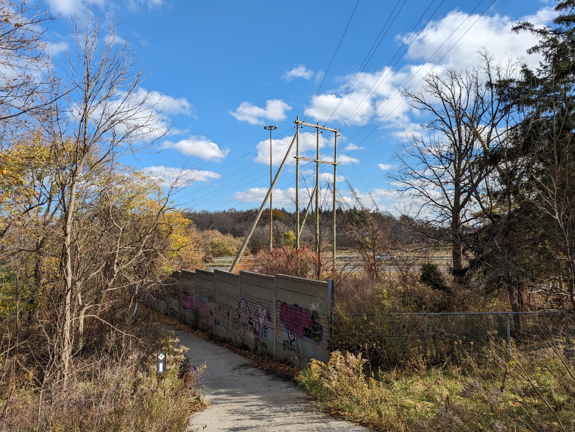
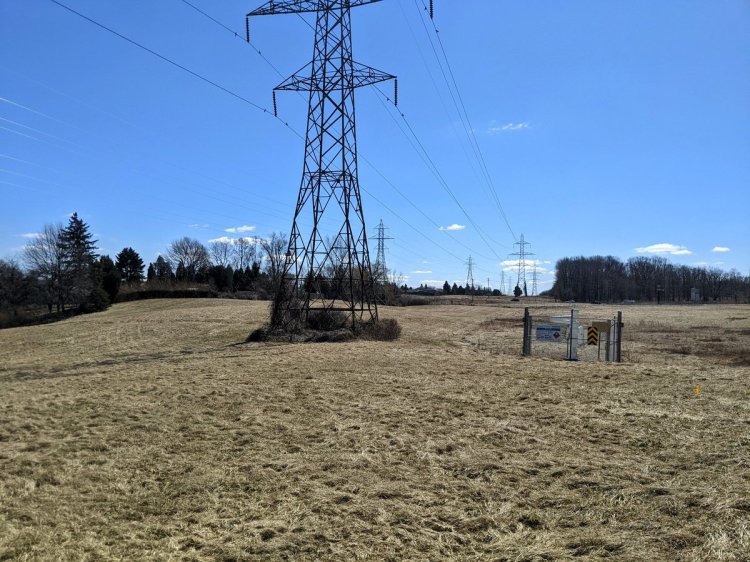
No access to the valley until Stroud Park, where it meets the Hamilton – Brantford Rail Trail. North of the tracks, the creek comes back north of the highway in a concrete channel, but by this point, it’s buried again. The culvert follows the hydro corridor, but we’ll come back to that shortly.


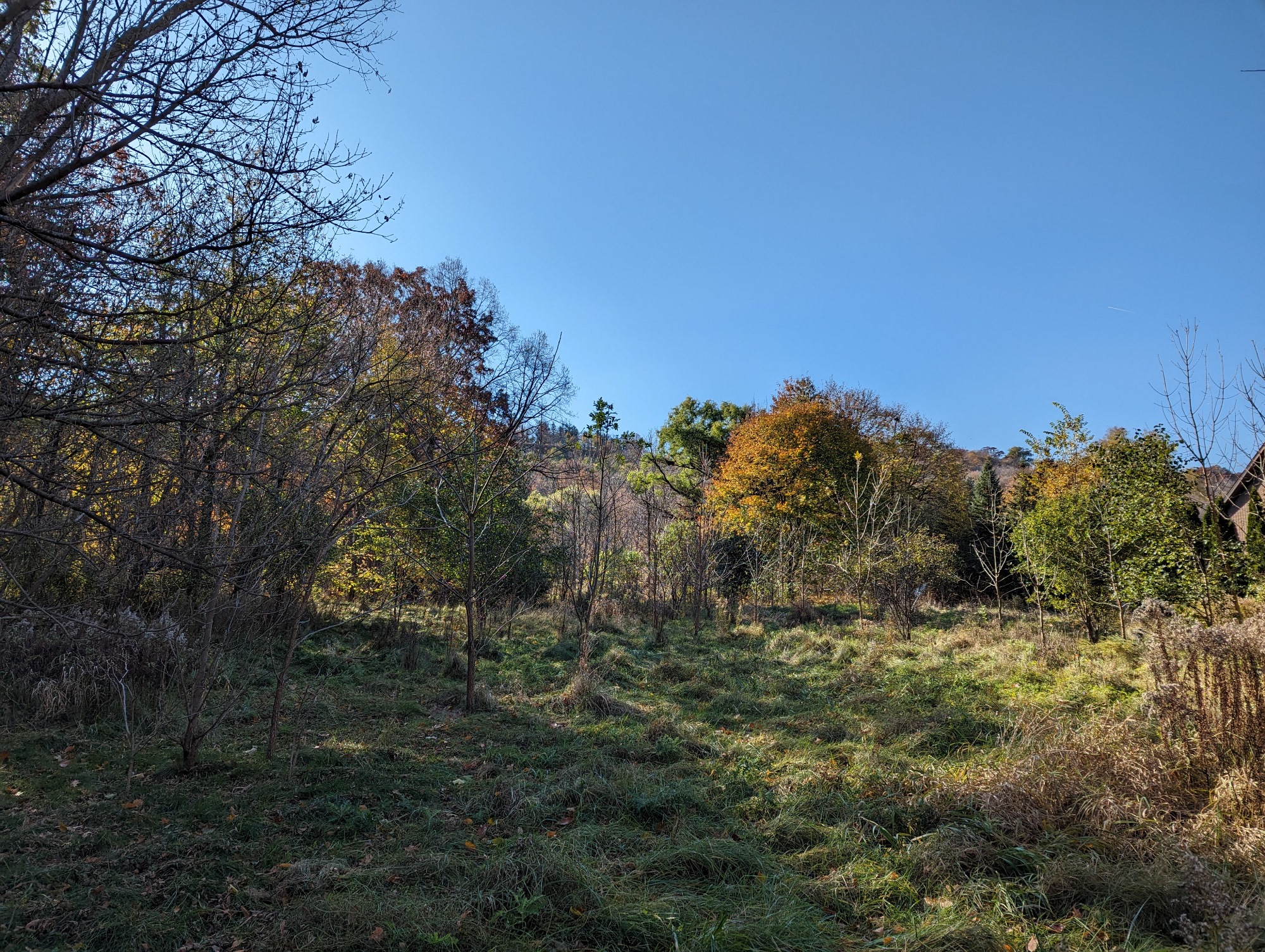
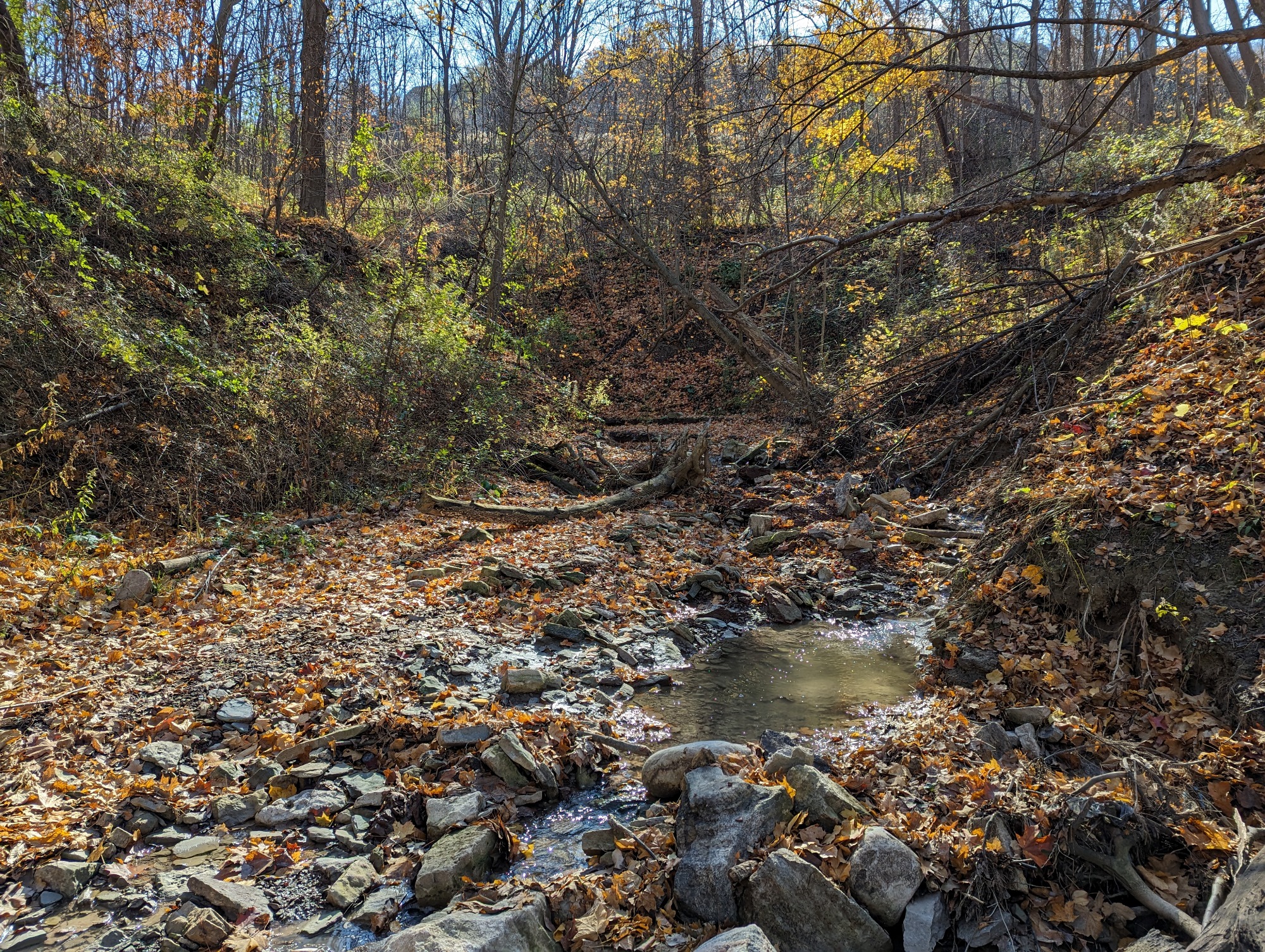
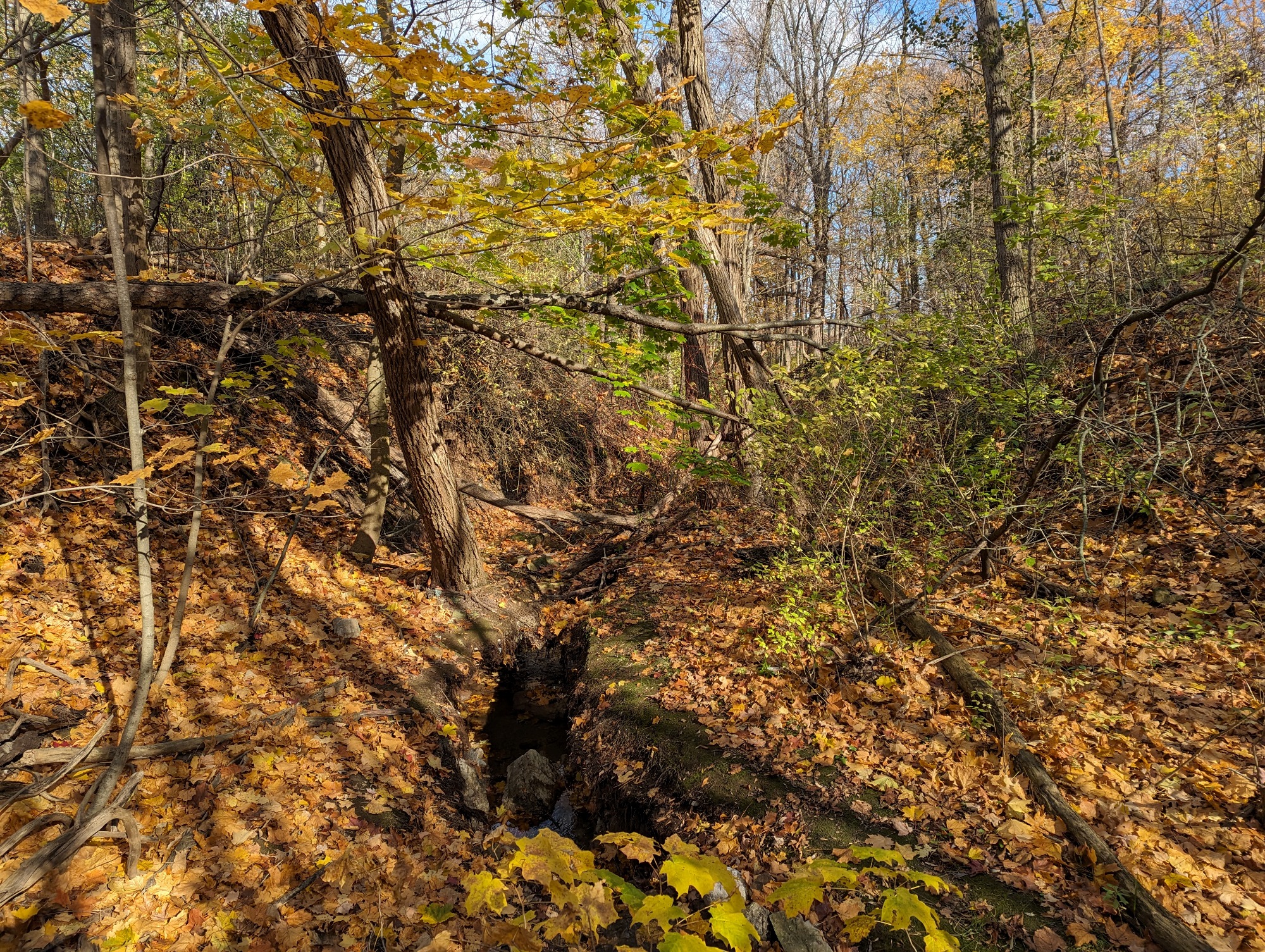
Through Stroud Park and south of Royal Ave, Middle Chedoke Creek flows open to some degree behind some houses. This tributary is fed by waters from Mountview and Sanatorium Falls. An established footpath leads you along the cute stream valley, until the it becomes buried too.


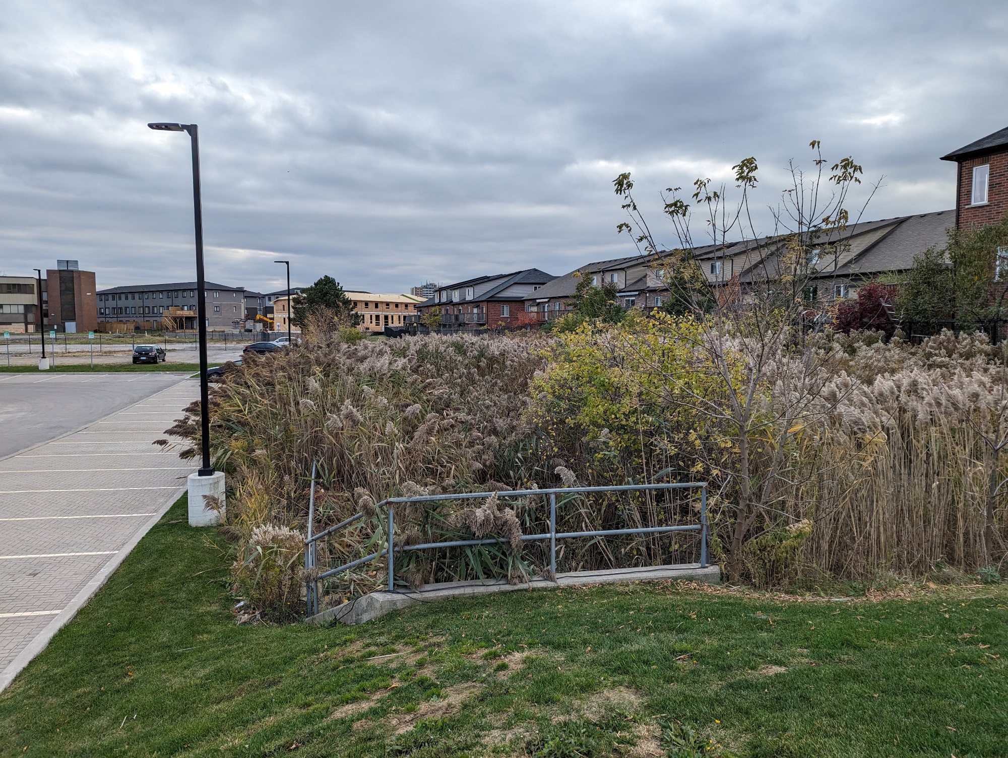
The open space where this tributary used to flow is still open parkland. Then, there’s this 30 foot opening, where water coming from under the 403 spills out into this chamber. We’ll have to catch up with the tributaries feeding this up on the mountain brow. For now, back to the main culvert.


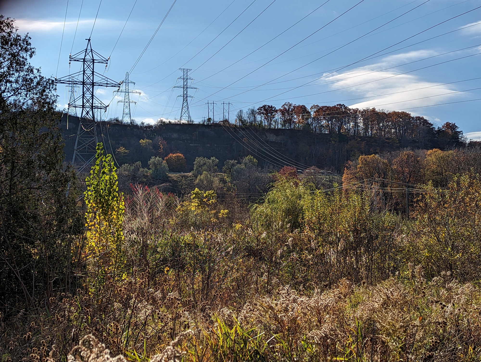
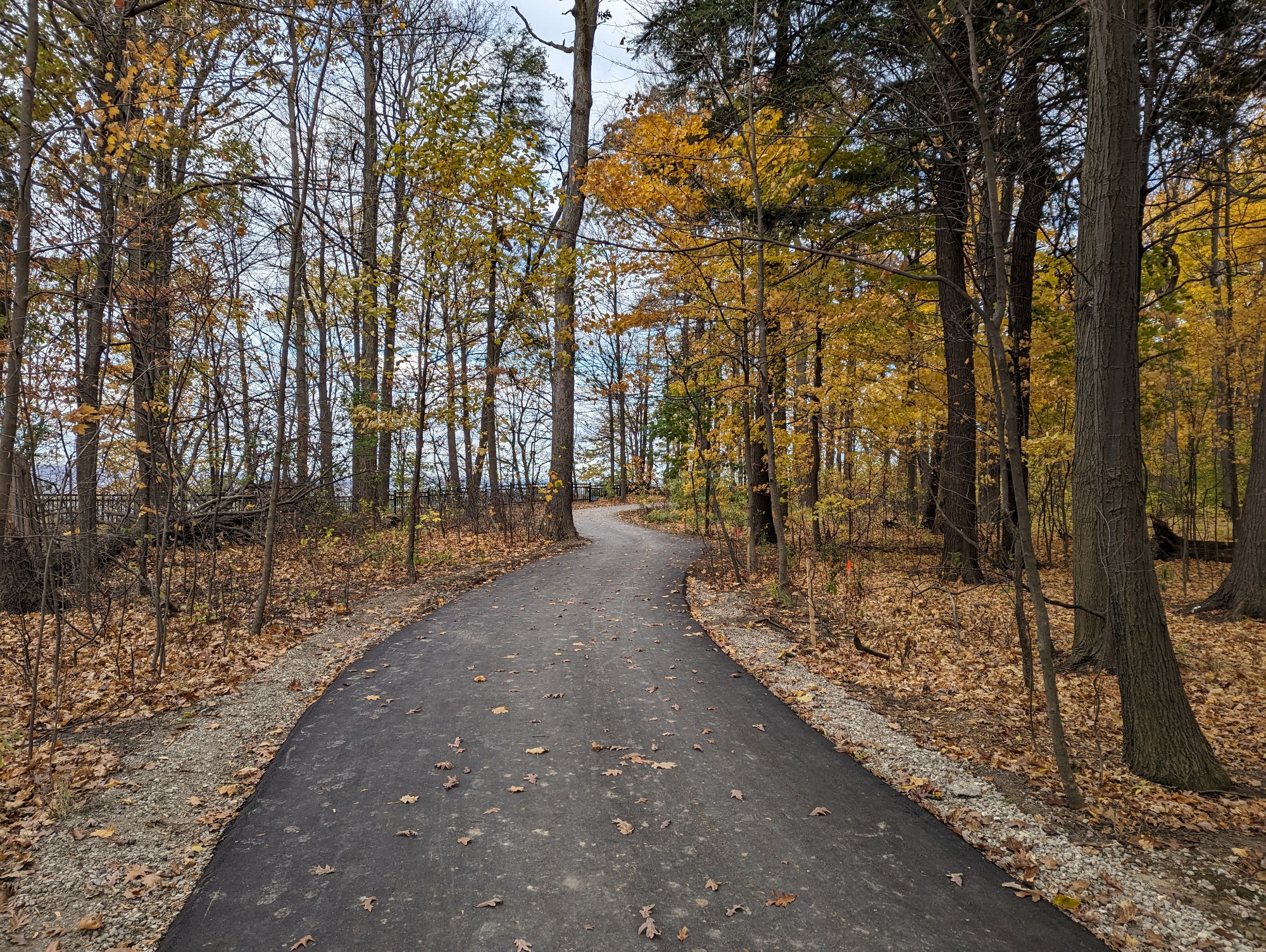
The trail along the hydro corridor / Chedoke Creek culvert actually starts west of Bowman Street, as there’s a two-block gap. After a couple bends, you meet Hamilton’s Dundas Mountain Hydro Corridor.


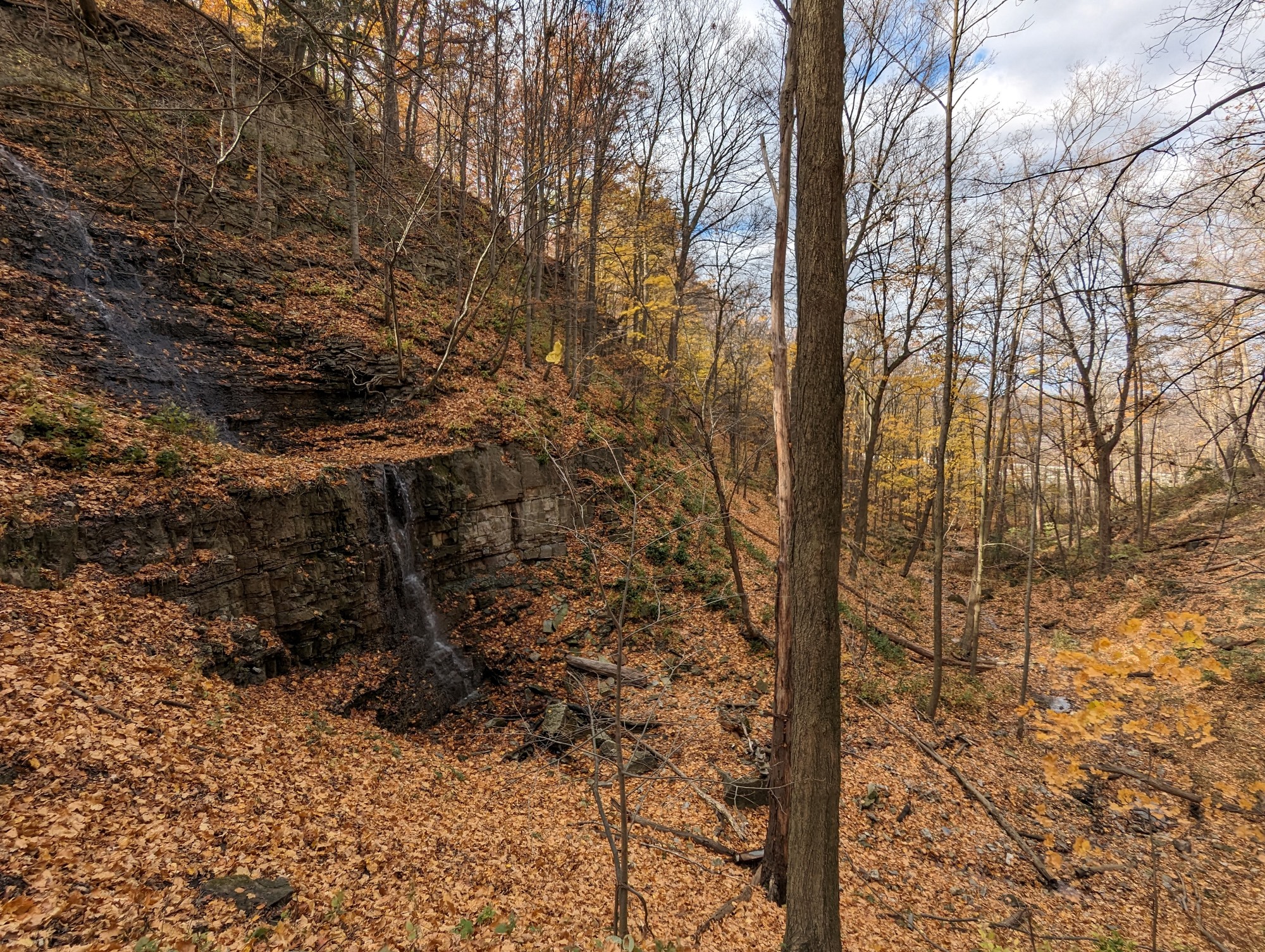
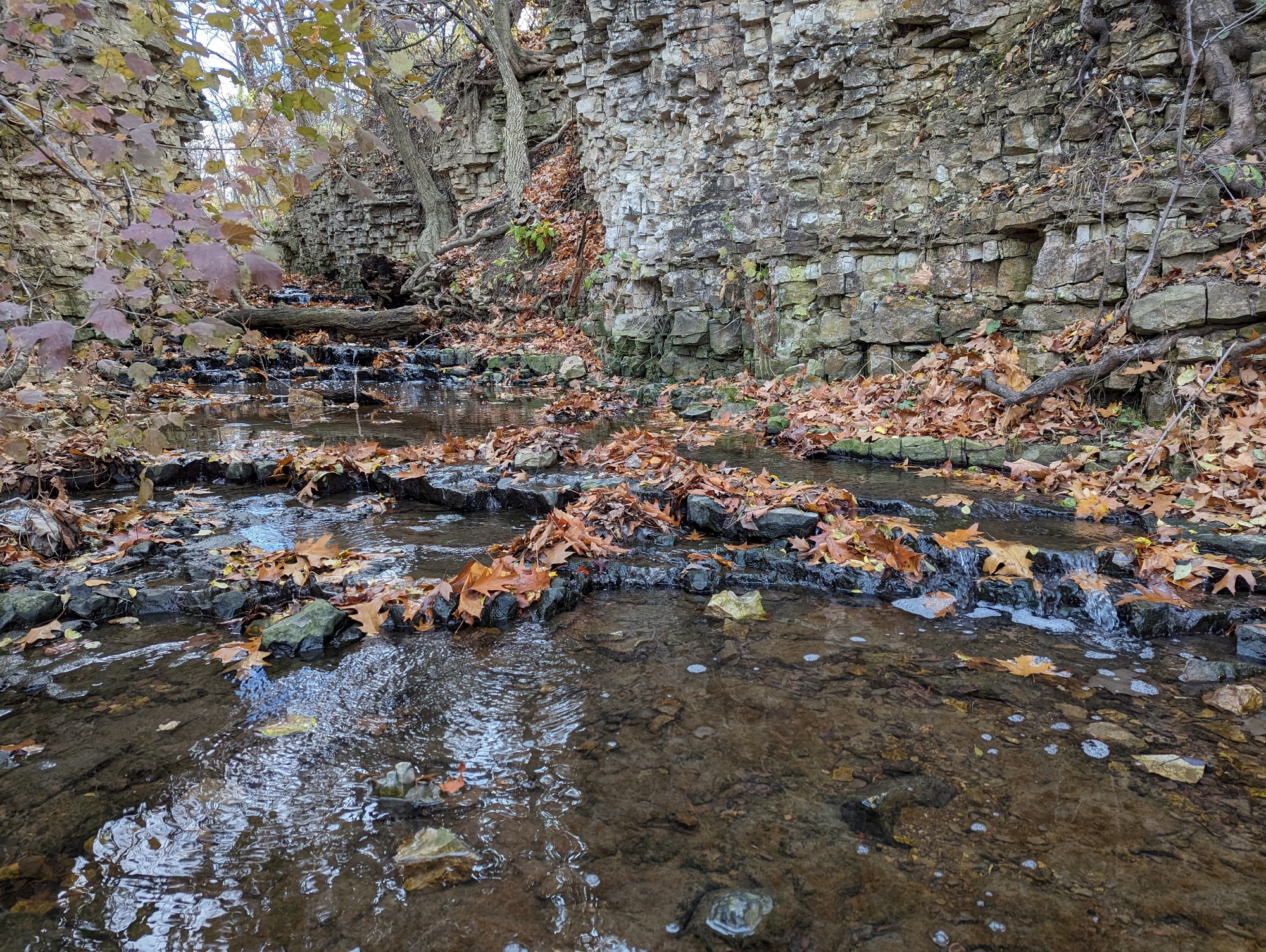
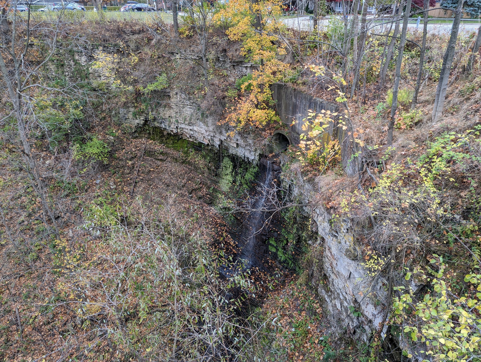
At the trunk hydro corridor, we meet another Chedoke tributary, Lang’s Creek, that is open on the surface. This is the lower reach of the same watercourse that makes Upper and Lower Princess Falls. After snaking up towards the 403, you come to where it flows out of a culvert and over rocks, known as Duchess Falls.


A quick jaunt through the woods brings you to the edge of White Chapel Memorial Gardens, and another small tributary that is the outflow of Scenic Falls. No dramatic falls on the north side. Now for a big detour around the 403 to the top of the mountain.


This is at least the third time I’ve done this diversion, and it has not gotten shorter.


The Escarpment Rail Trail leads you through the Iroquois Heights Conservation Area to Scenic Falls. They’re only scenic if you clamber up and down the slope. Then there’s Princess Falls. There’s upper and lower portions, but you can only get a good look at the lower portion from the 403.


Lang’s Creek is the tributary feeding Princess and Duchess Falls, and it originates from the Dundas Mountain Hydro Corridor. It meanders upstream towards Mohawk Road and Scenic Drive.
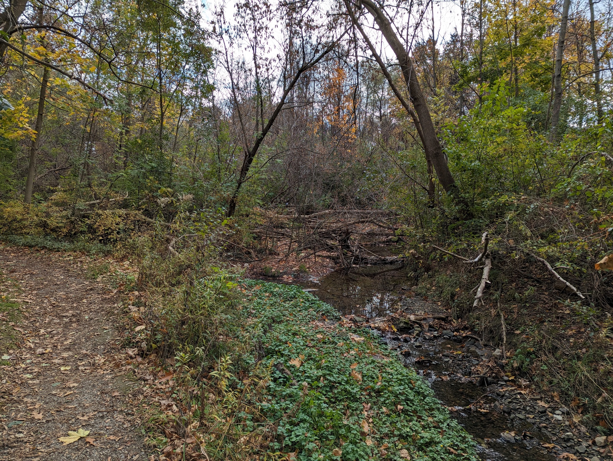


A short glimpse of a Lang’s Creek tributary, then it’s east along Mohawk Road to Middle Chedoke Creek. It has its outlet at the Idlewyld Manor, meandering across the front of the property until going back underground at Sanatorium Road.


The next reach of Middle Chedoke is hard to follow. It used to be buried in the Mountain Sanatorium lands, but there has been considerable redevelopment lately. After trying to follow local minima, the tributary shows itself near a couple stormwater ponds near Redfern Ave.


After some hunting, I found the trickle that feeds Sanatorium Falls. Not much flow. But at the very least, there’s a new trail linking this and Cliffview Falls. Westcliffe Falls is also visible from a distance, on the east side of the gully.

There’s no sidewalk and unprotected bike lanes along the next stretch of Scenic Drive, which is baffling. Anyway, Upper Chedoke Falls is a straight down view from the roadside.


After descending down Dundurn Stairs, I came back to East Chedoke Creek. Went beyond the fence today, and discovered Lower Chedoke Falls. These scenes is emblematic of the whole valley here; steep slopes and active erosion. Getting a bottom view of Upper Chedoke Falls is impossible, if not dangerous. Don’t try this.


North of the Escarpment Rail Trail, hints of East Chedoke’s power. This culvert is not functional anymore. All flows are diverted underground. What remains of this gully now forms part of private backyards along the adjacent street.


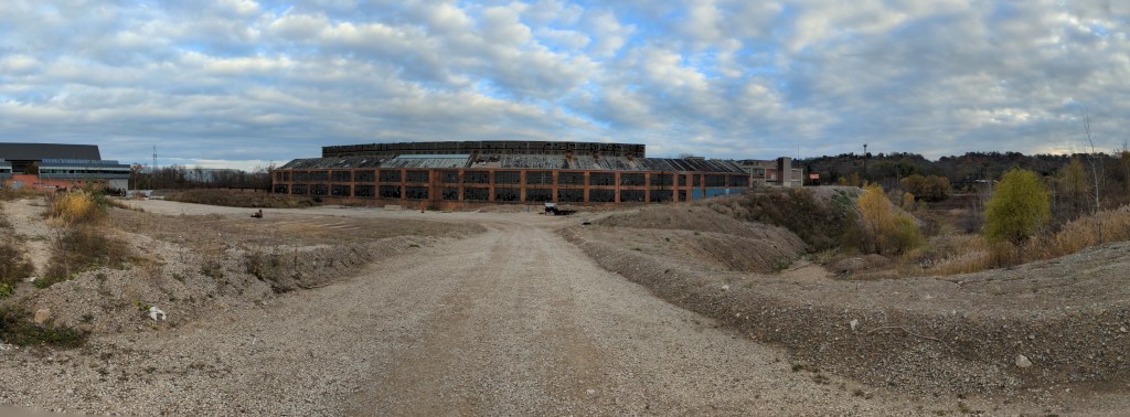
The east gully starts capturing local runoff north of Aberdeen, with a short view of it past an abandoned warehouse. Then the major bypass channel, which cuts across the golf club, continues under the industrial park on Longwood before poking out at the 403. That’s going to do it for today.


Date: November 6, 2023
Length: 25.7 km
Type: Riverine

Related Walks

Shoreline east and west
West Harbour / South Cootes
Railway to the east
Hamilton Sub

Intersecting hydro corridor north and south
Dundas Mountain / South Trunk Hydro
Escarpment brow to the east and west
West Escarpment


