Good morning from central Hamilton. Today I’ll be following the escarpment, starting from James Street westwards towards Ancaster. Let’s go.

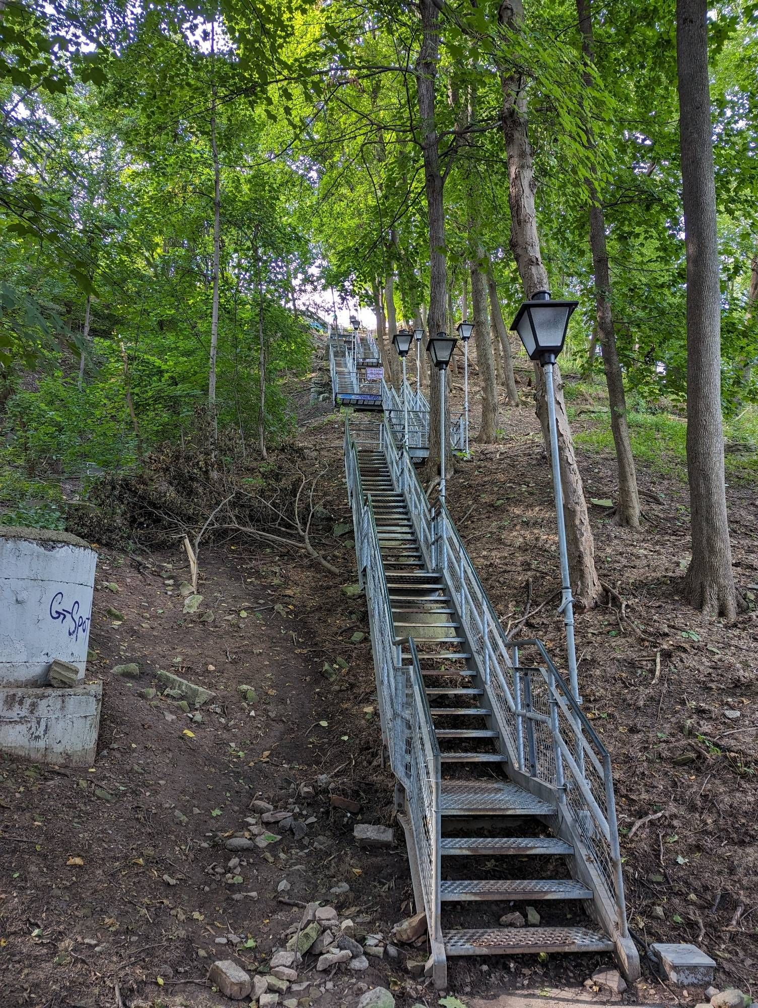
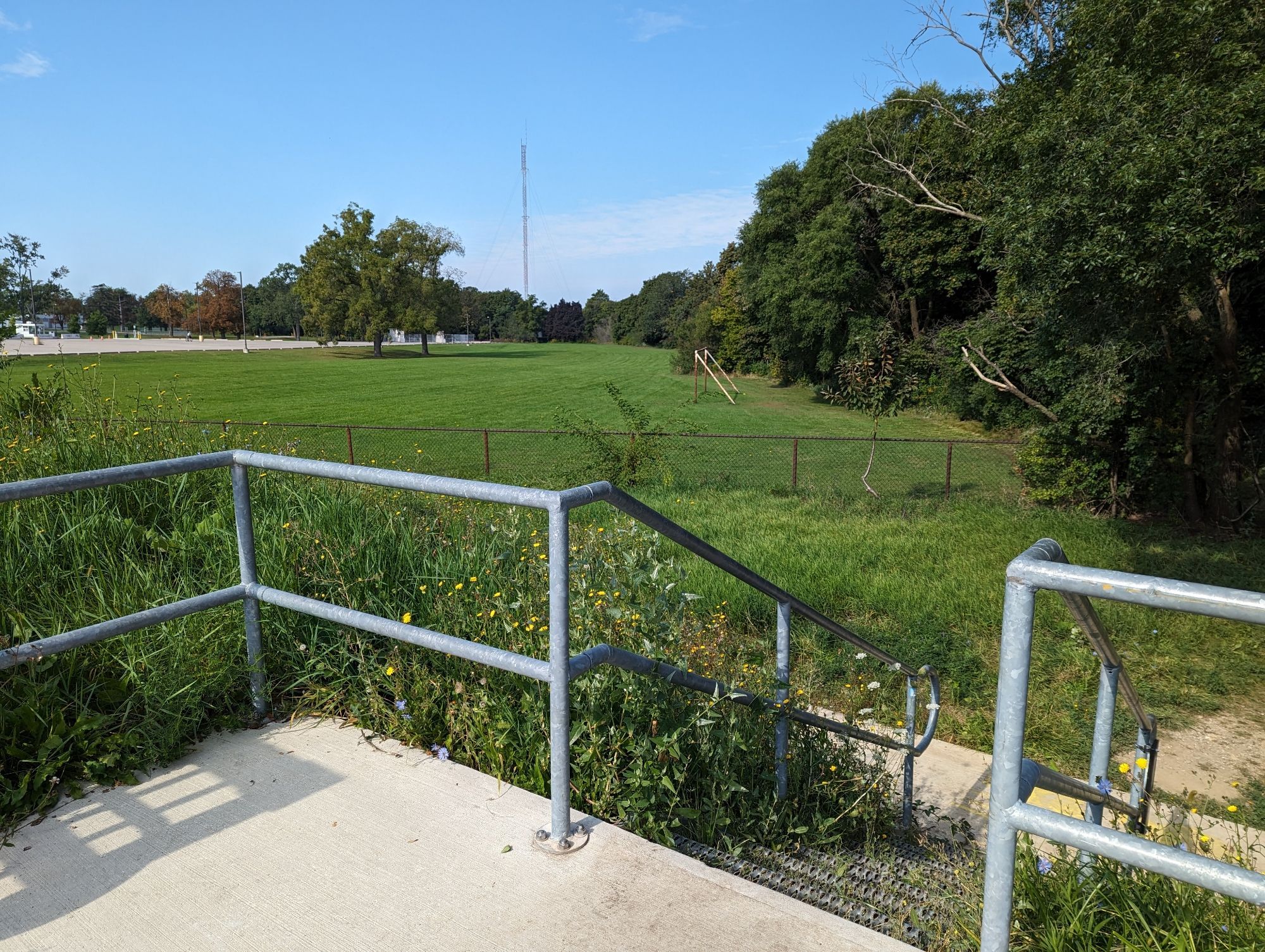
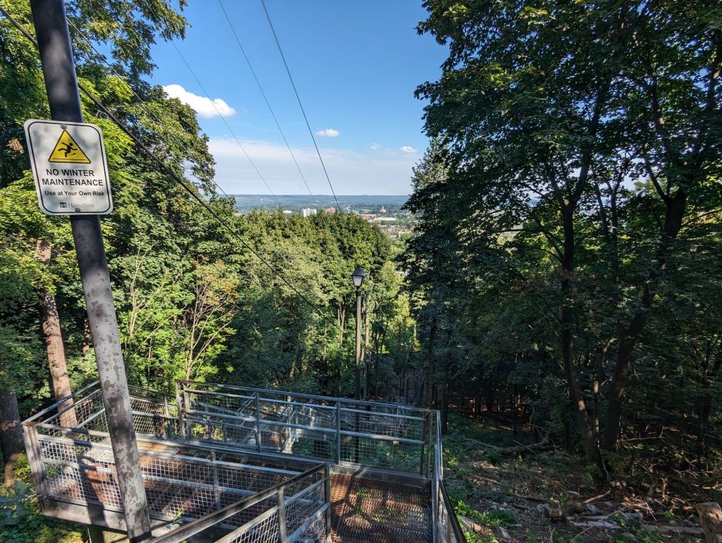
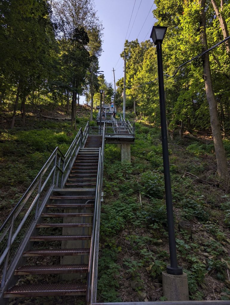
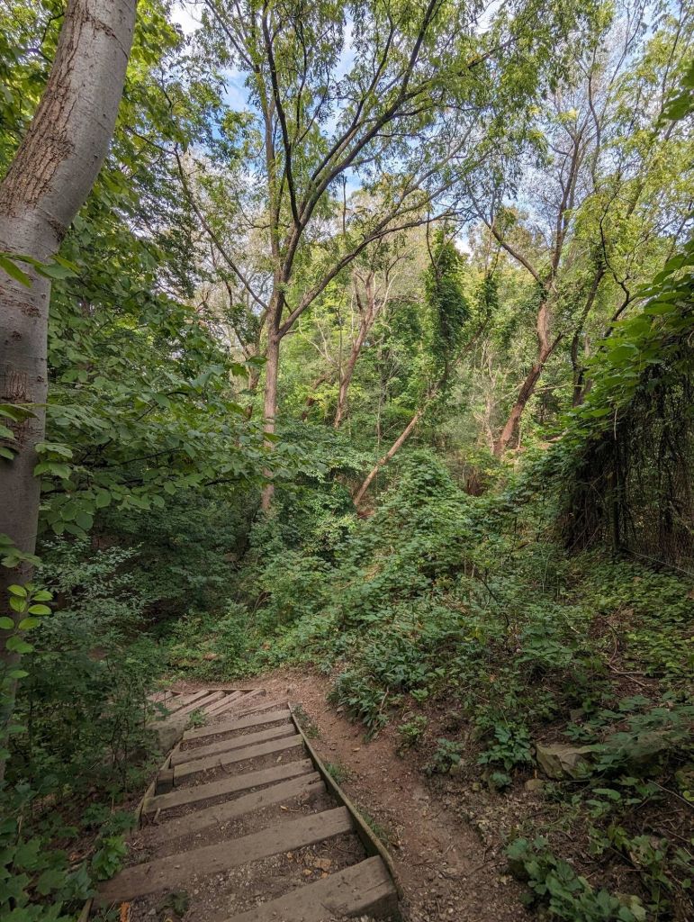
First stop is a number of stairs to the Claremont Access, which I couldn’t even count. My last walk took me to here, before I continued north to Upper James. I’m going west.

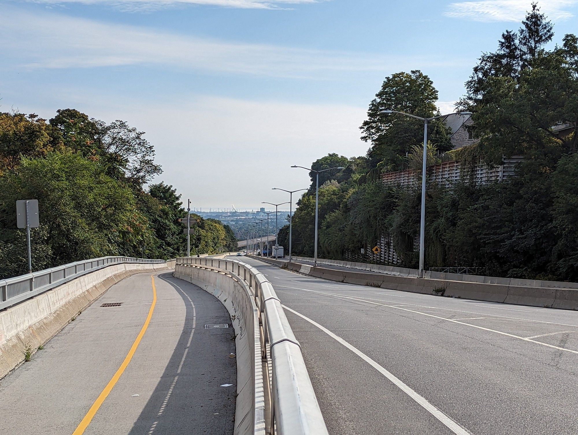
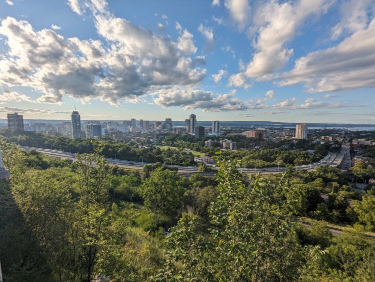
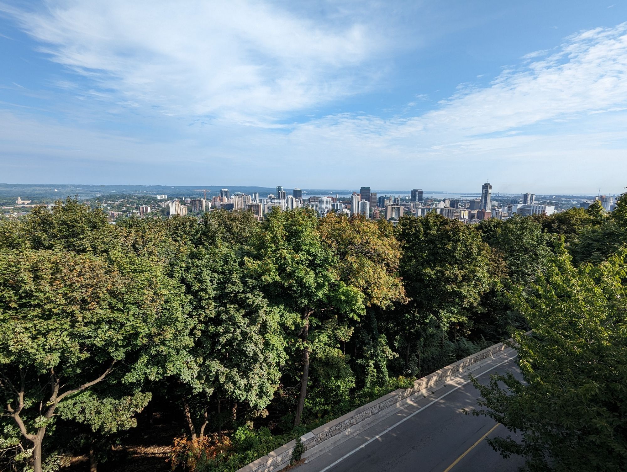
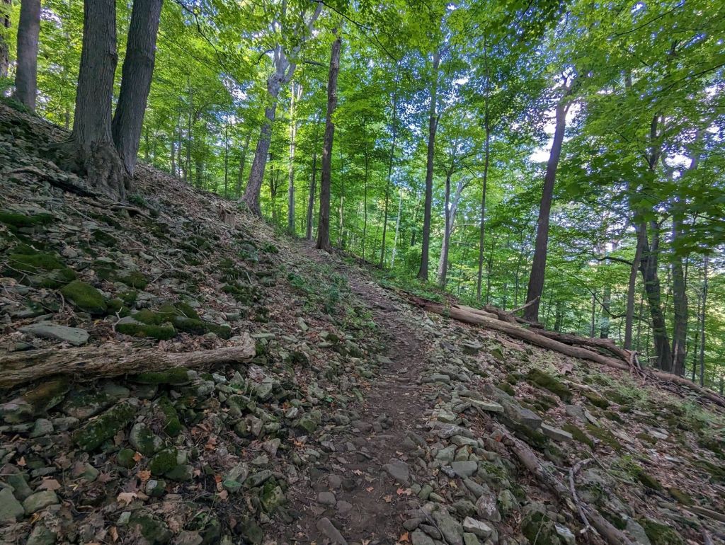
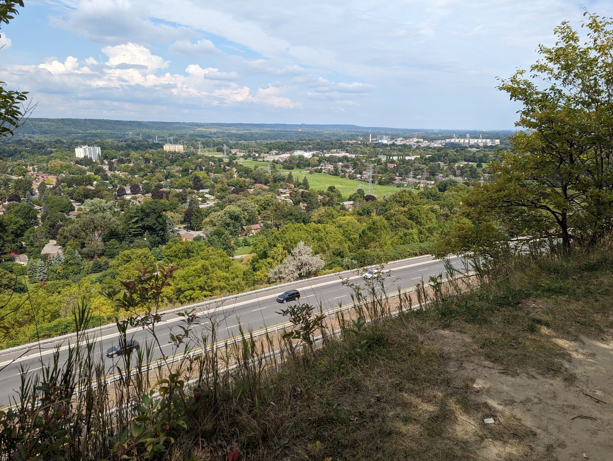
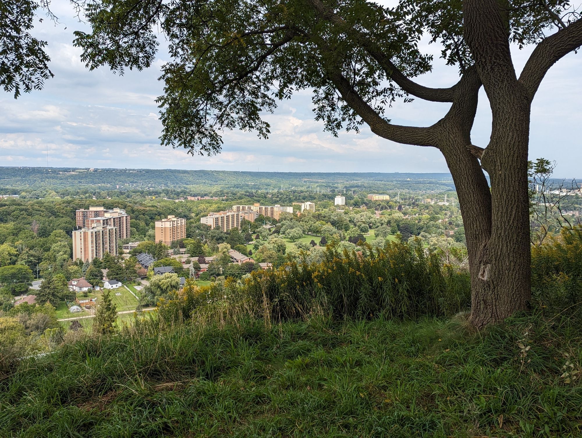
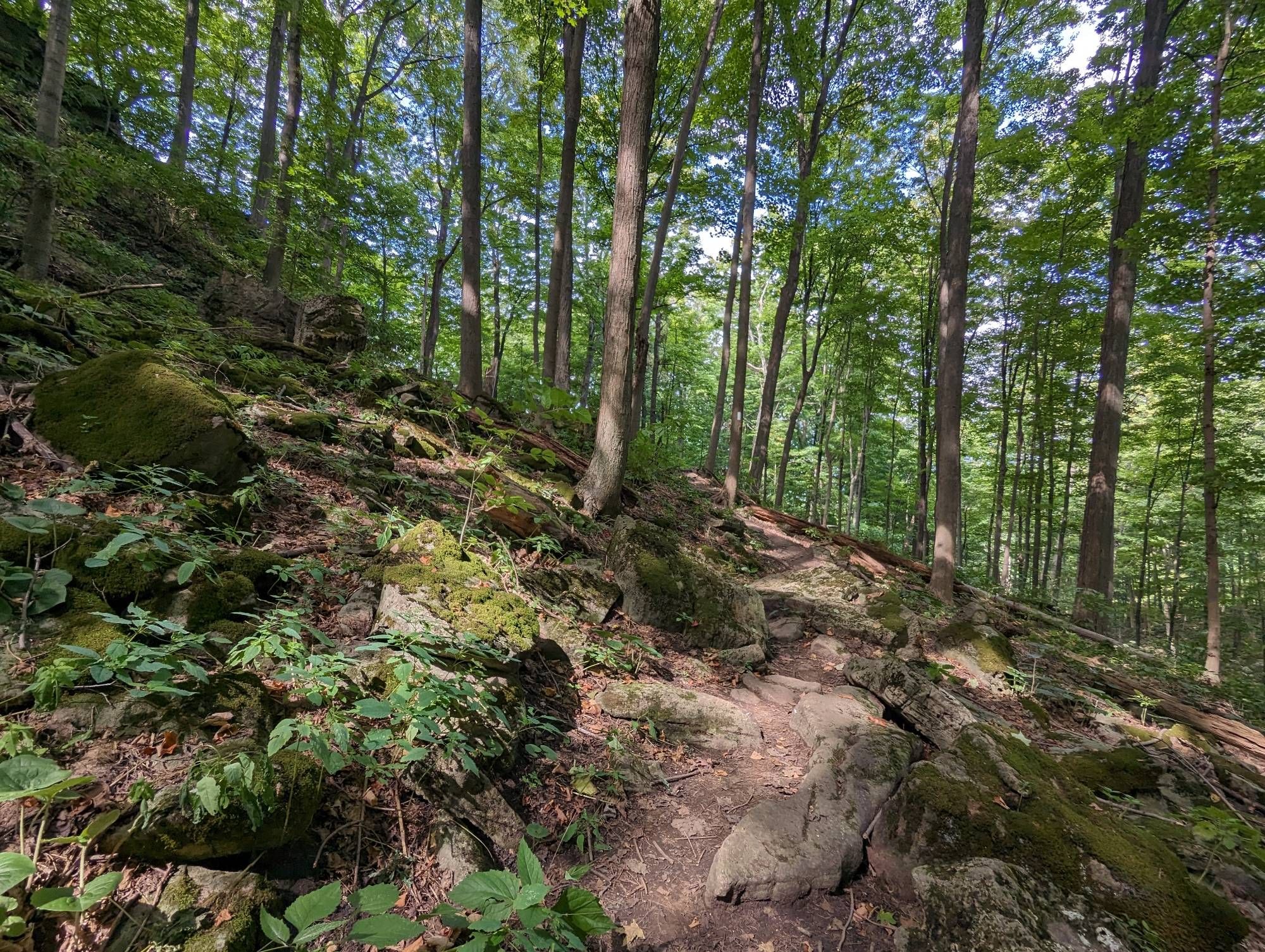
This section of Claremont isn’t as wide. 3 gauntlets for a single car lane, a bike trail and a sidewalk. You reach a peak with a great view of downtown, before a couple small staircases take you off of the Access and to the foot of the main brow.
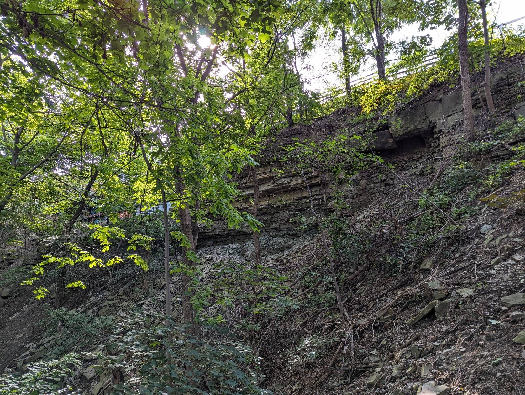
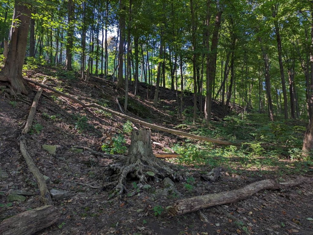
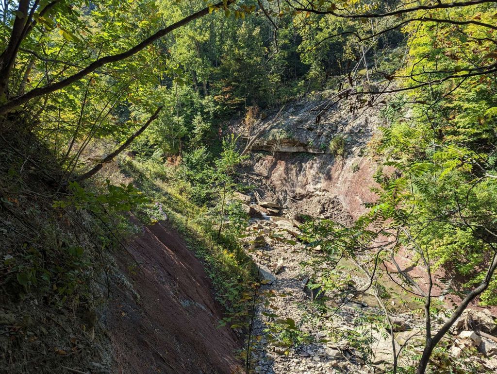
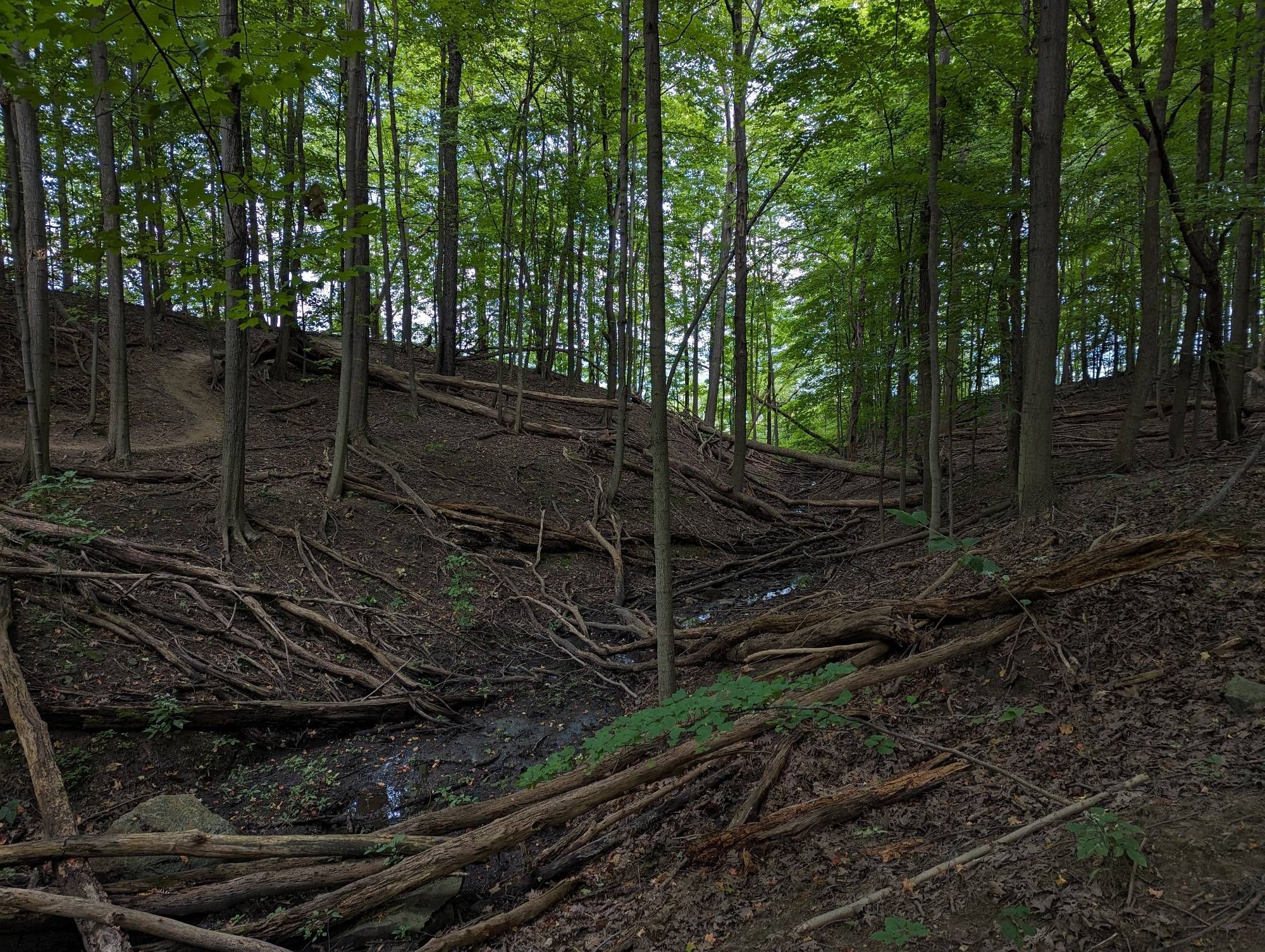
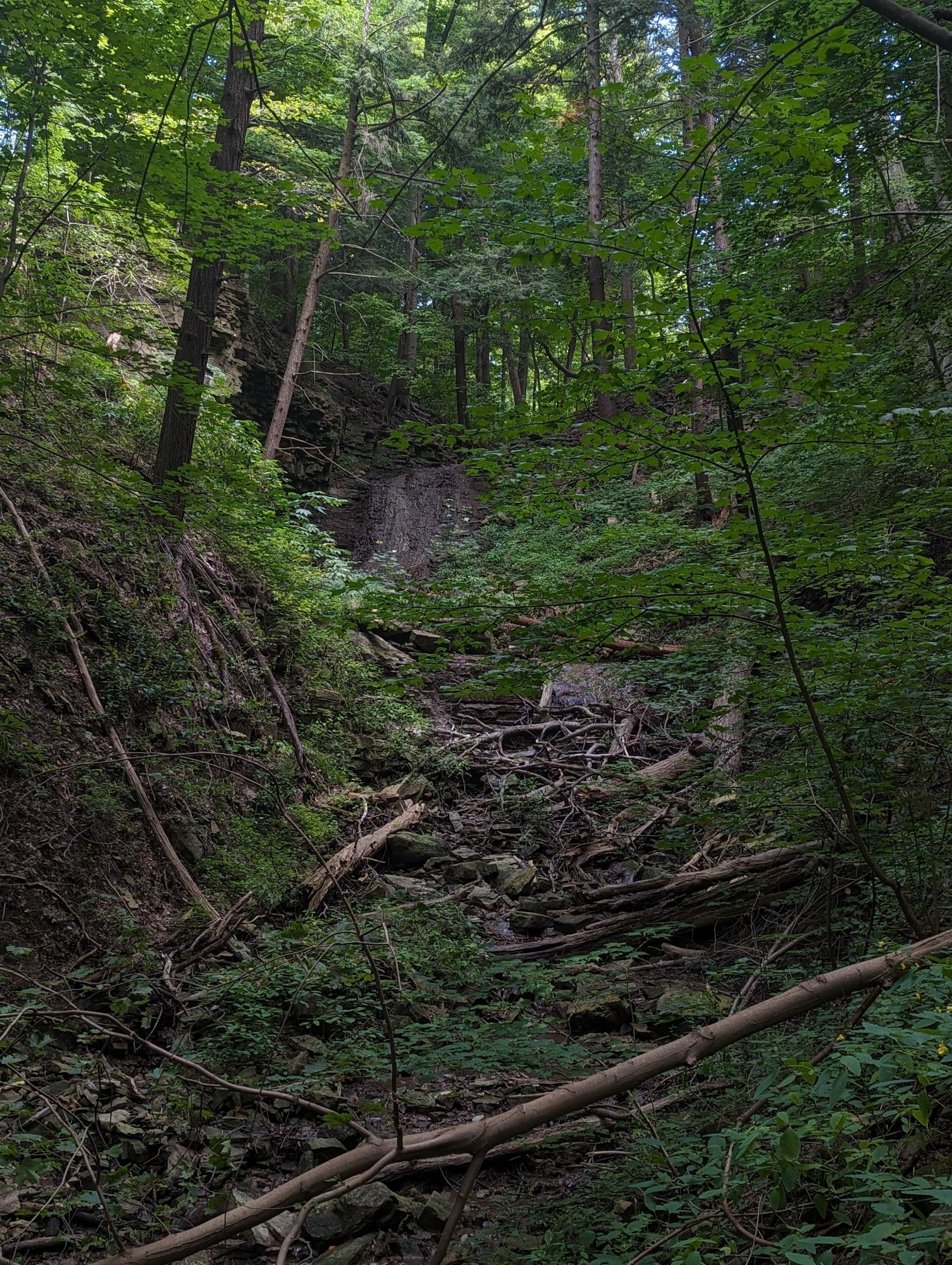
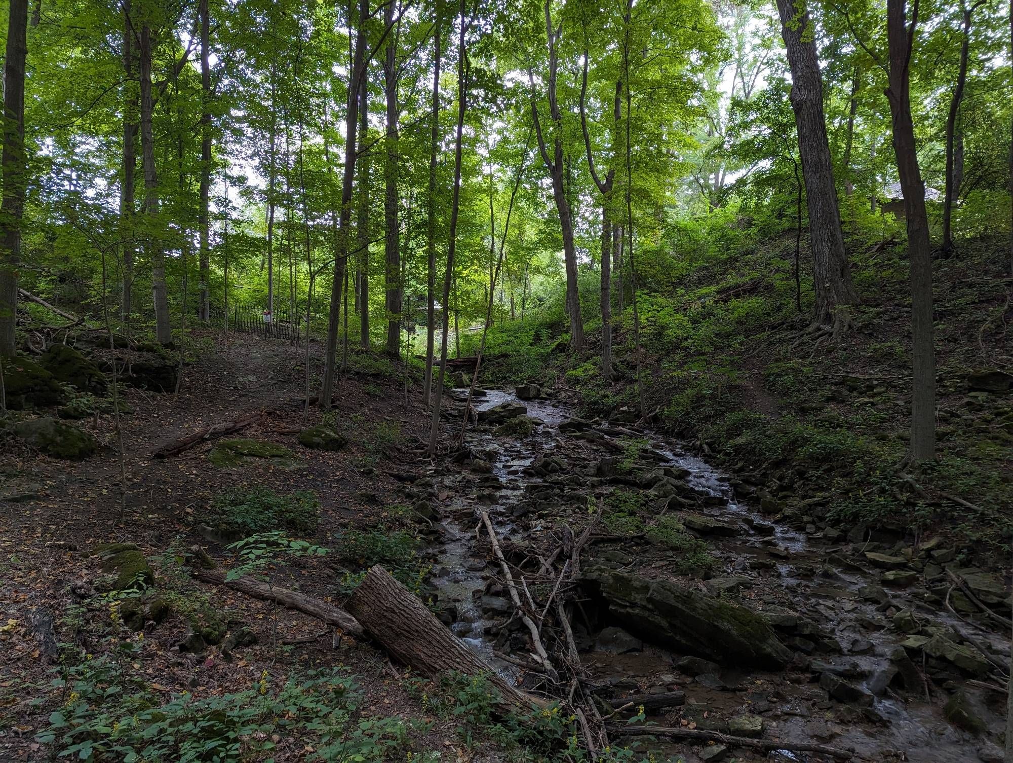
A clear history of landslides here. Eventually you come to a minor ravine carved primarily by groundwater perching above the surface, and running down to Beckett Drive. When it’s raining more, or there’s higher groundwater, this goes over a drop to become Lower Beckett Falls. But nothing today.
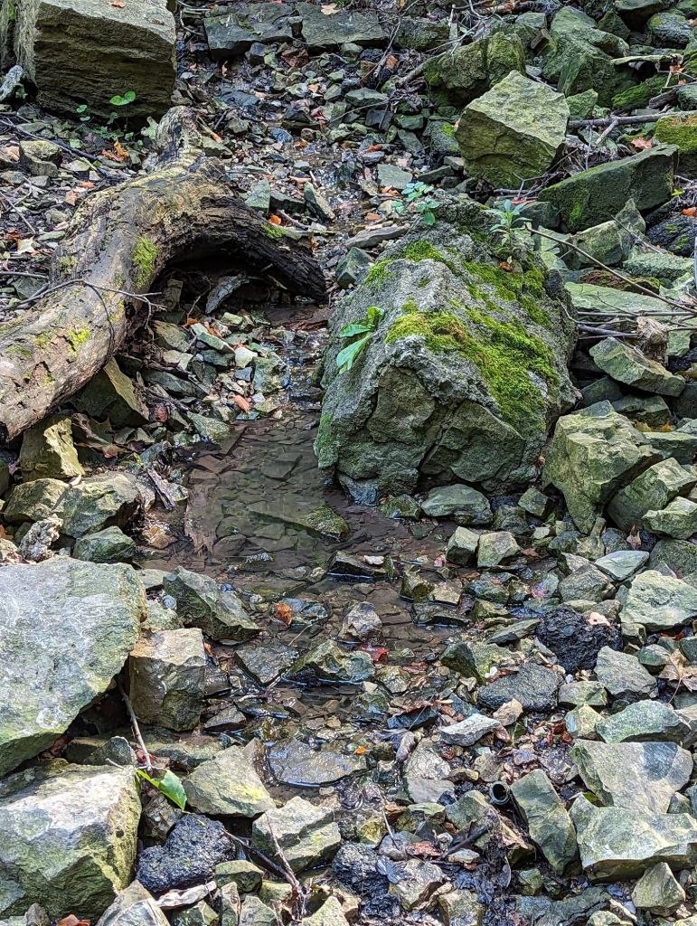
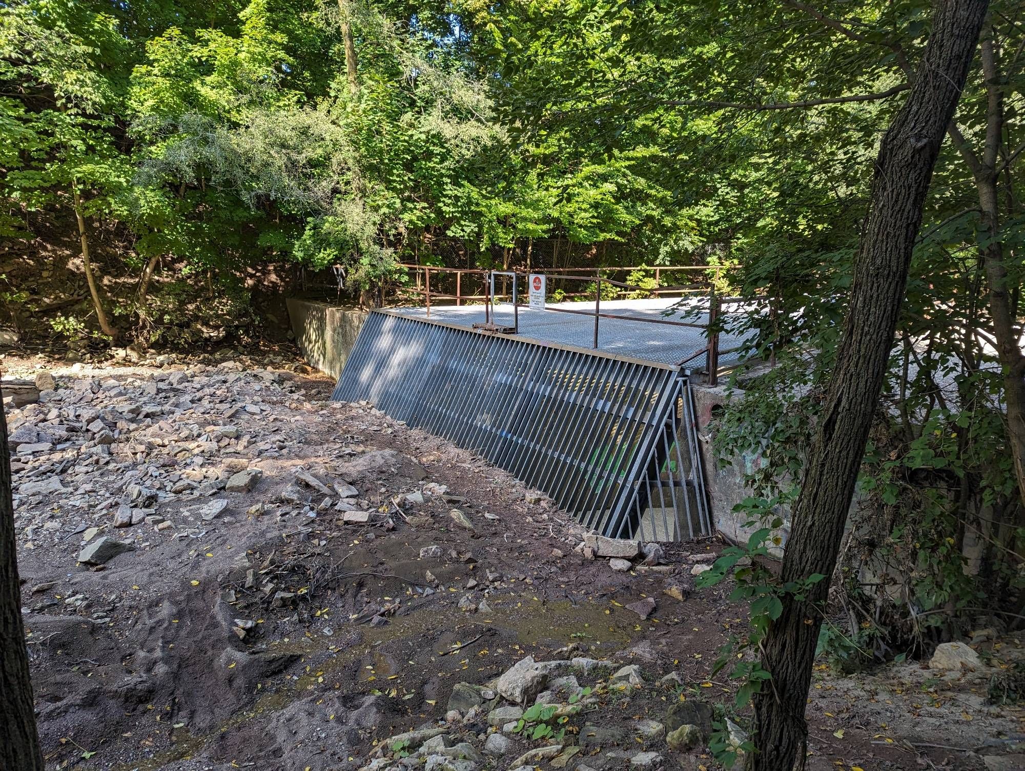
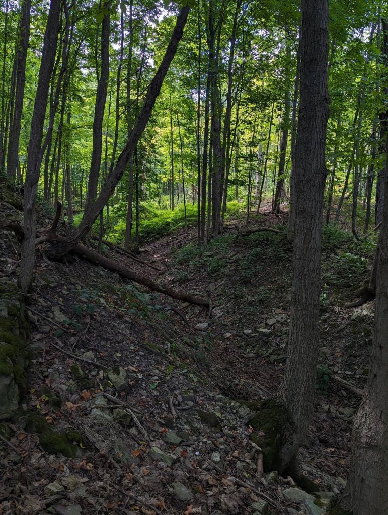
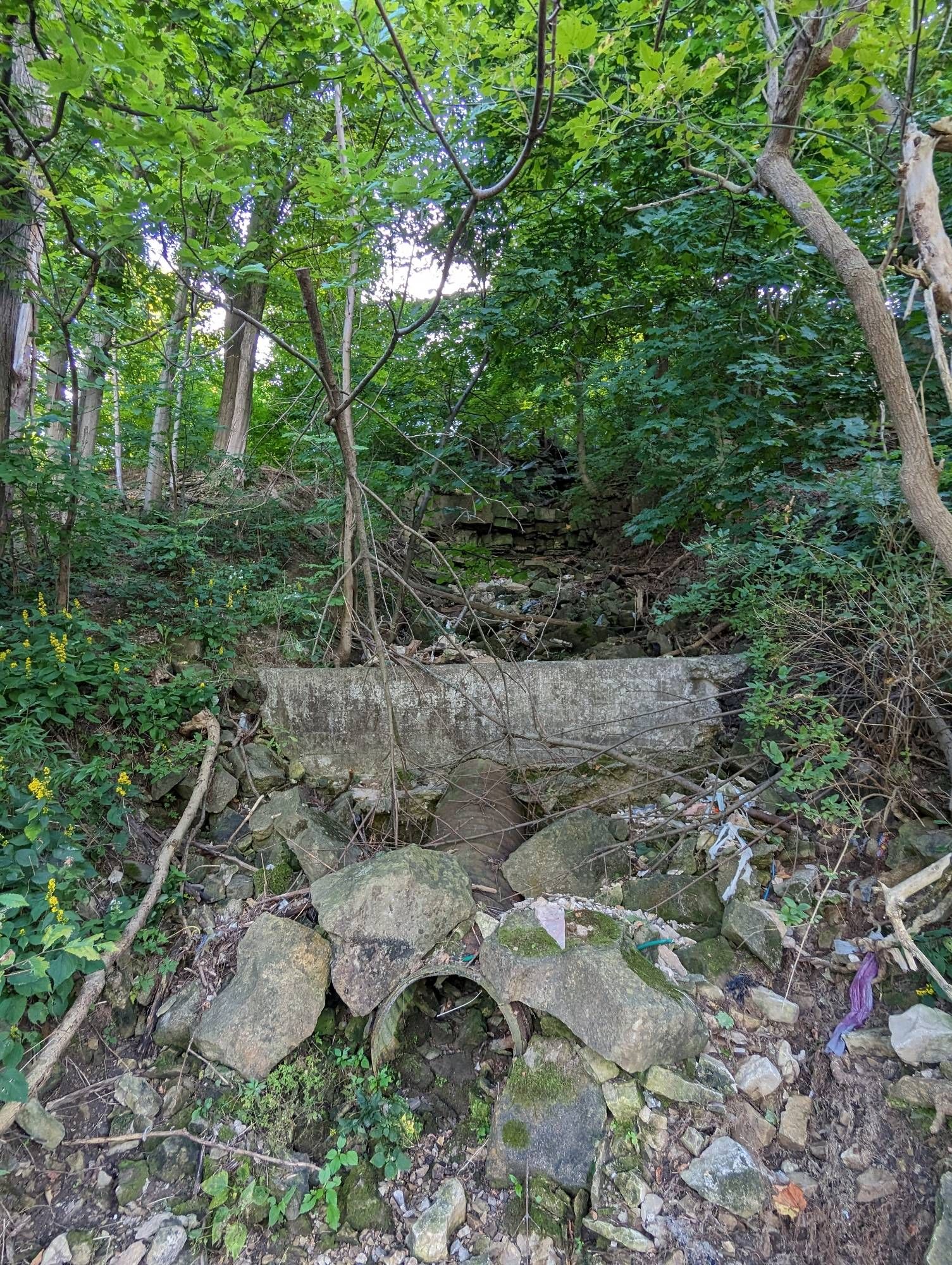
Instead of continuing to follow the Bruce Trail, I carry on along a concrete swale alongside Beckett Drive. A slight detour leads me to Upper Beckett Falls, or where it would be if it wasn’t dry. Clearly it’s the spot, with a huge catch basin at the bottom.


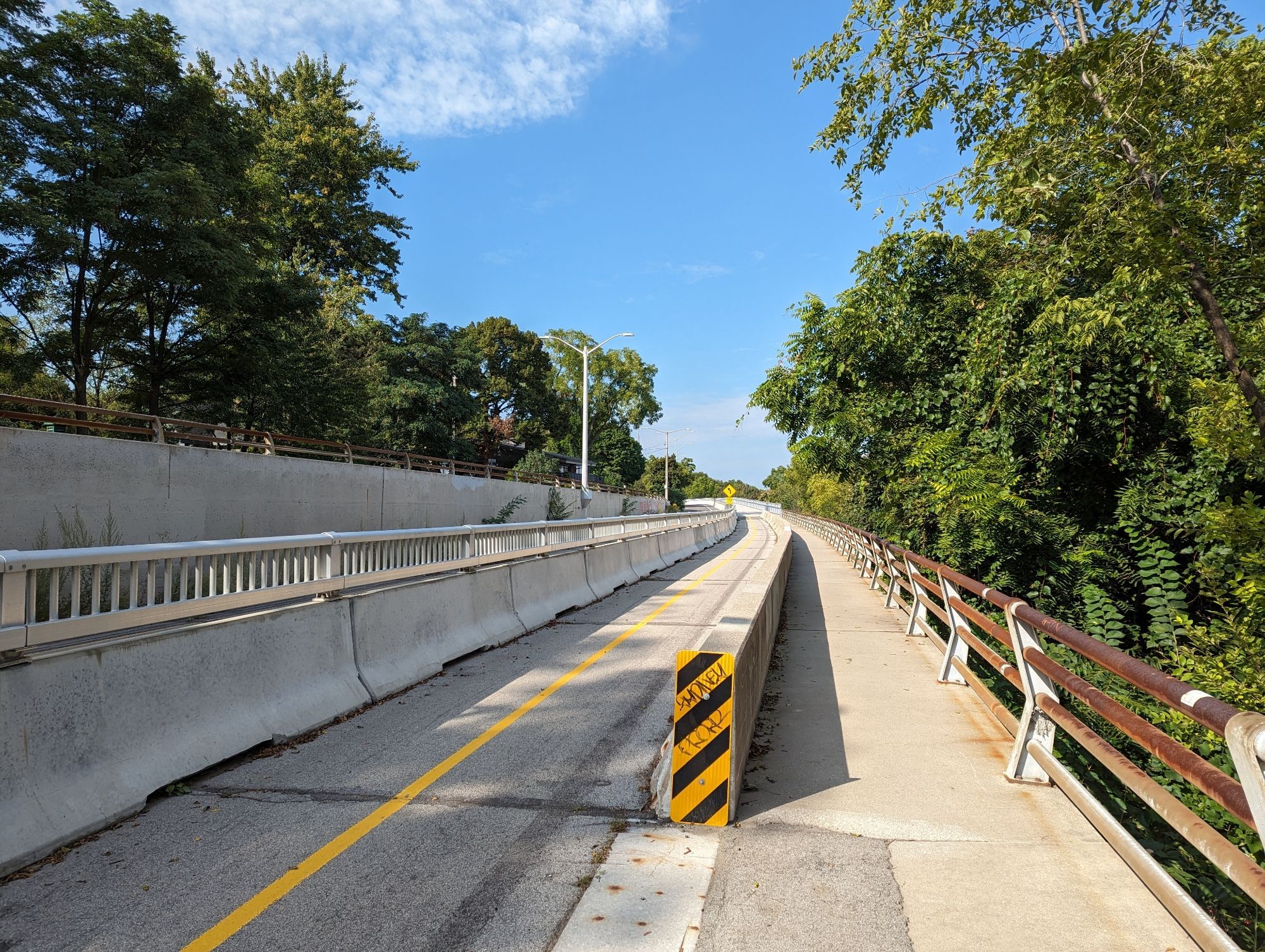
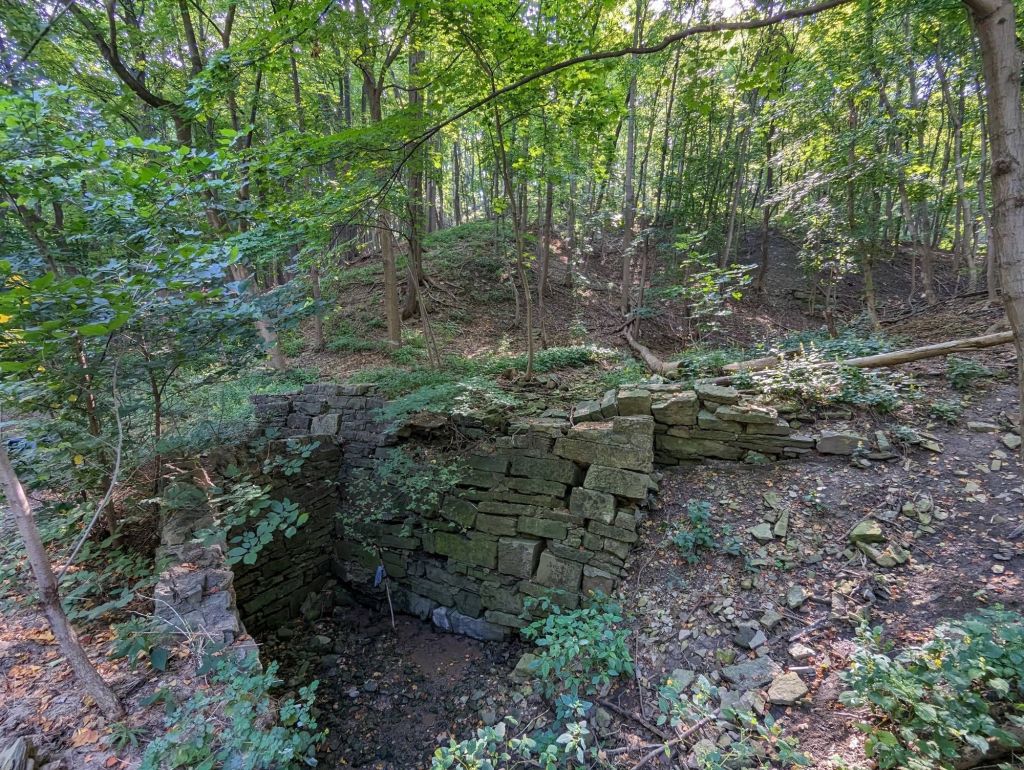
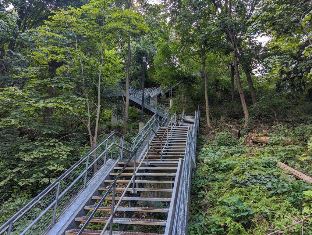
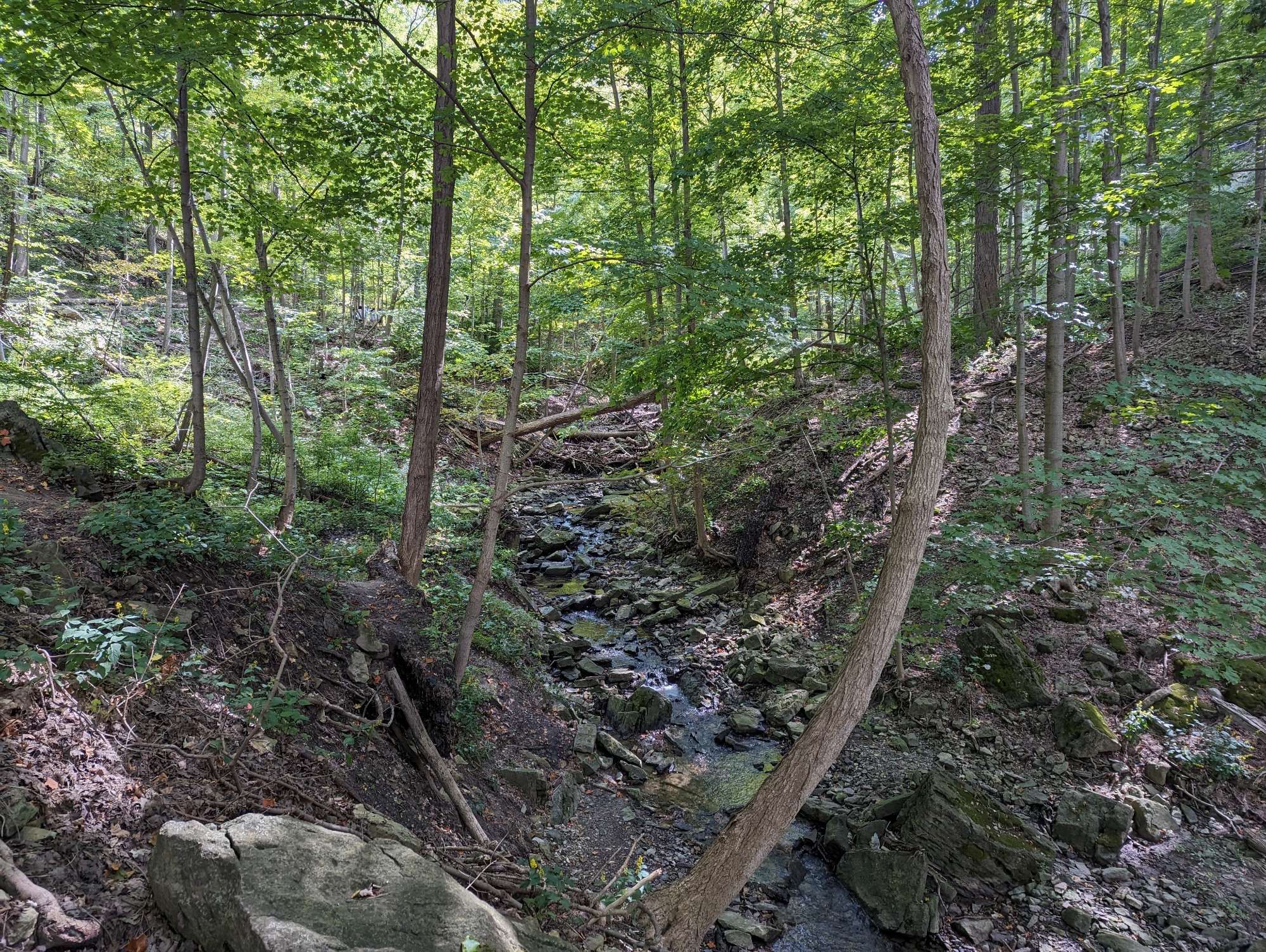
After sketchily darting across the road, I head down Dundurn Stairs. The Bruce will then carry you over to a tributary of Chedoke Creek. The east side of the gorge gets steep, and you can only glimpse Lower Chedoke Falls.
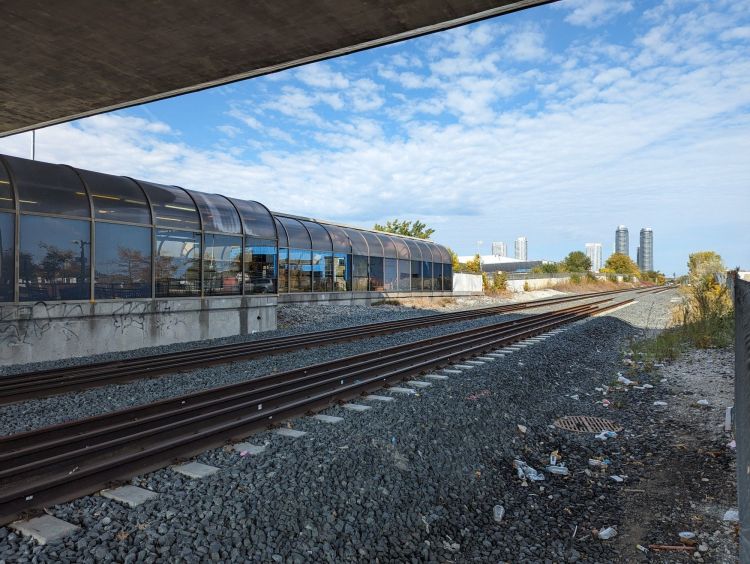
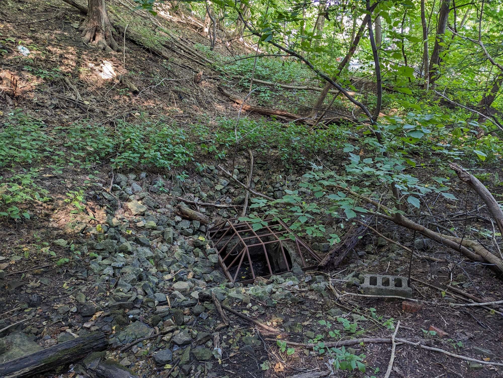
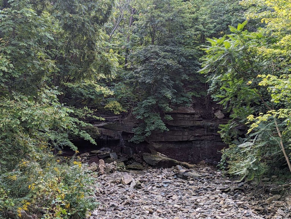
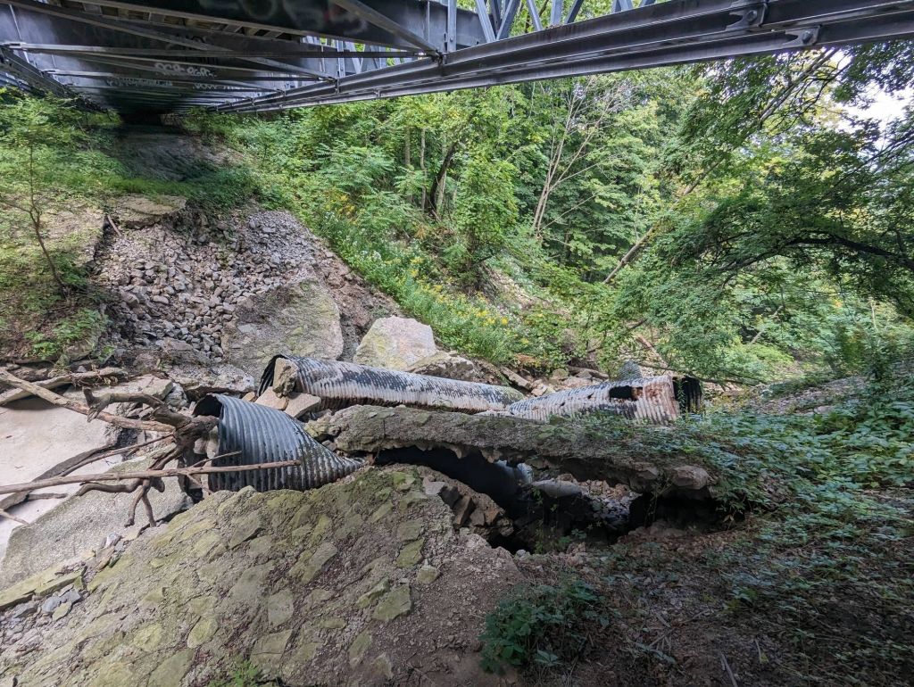
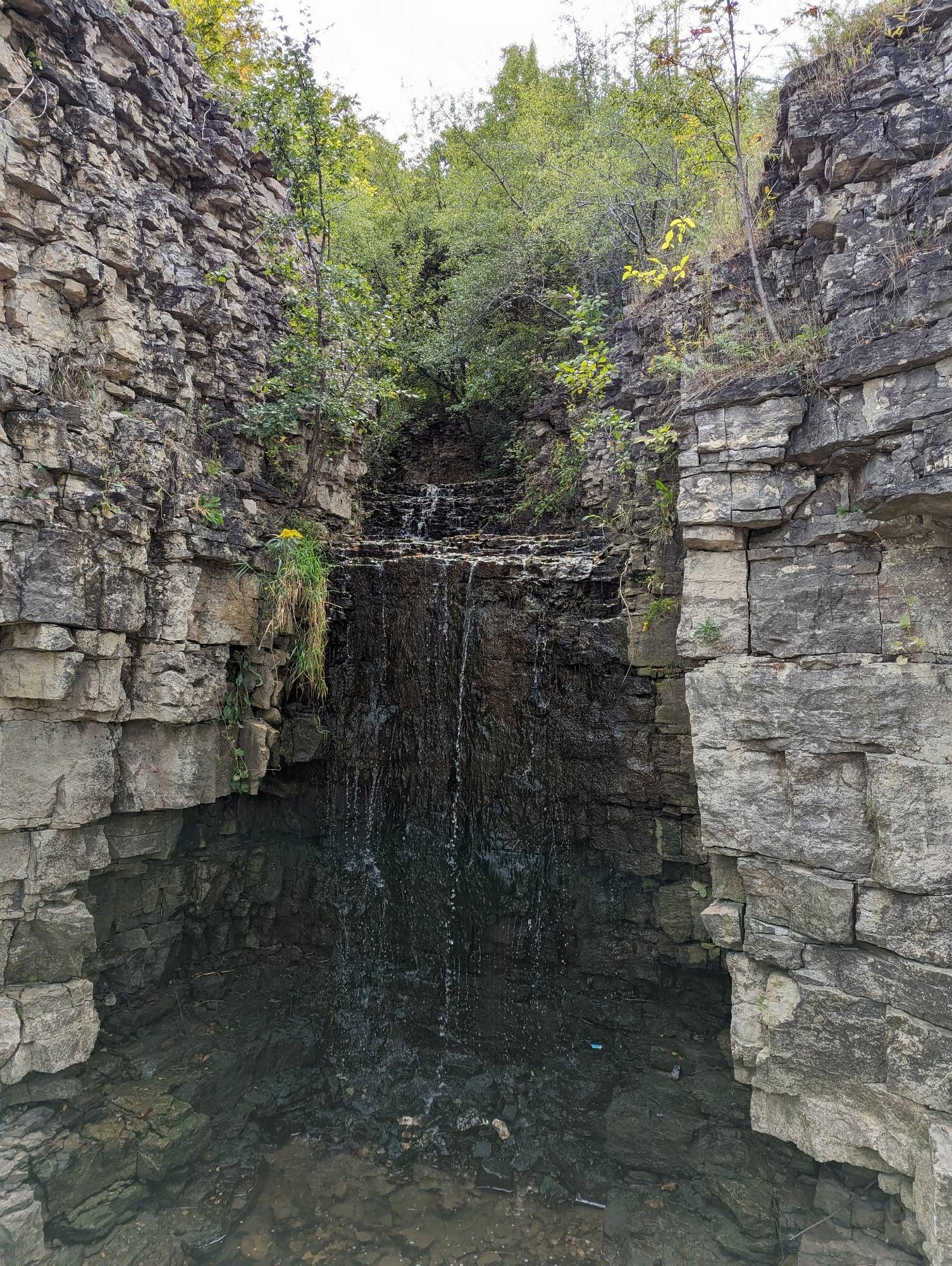
The watercourse gets thrown into a huge catchbasin south of the Escarpment Rail Trail, but there seems to be evidence it’s prone to surchaging overland. Unfortunately there’s no view of the main Chedoke Falls from below.
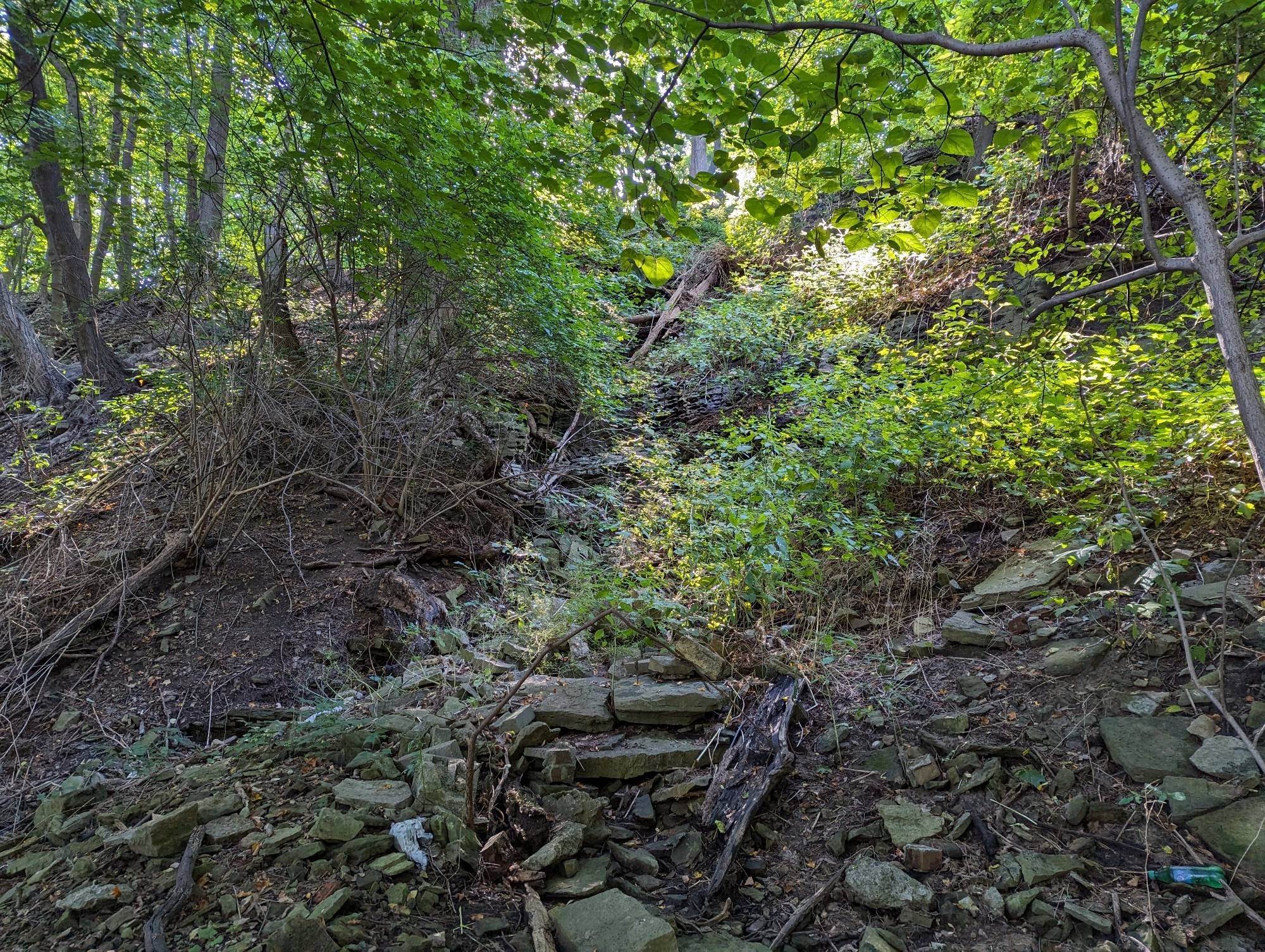
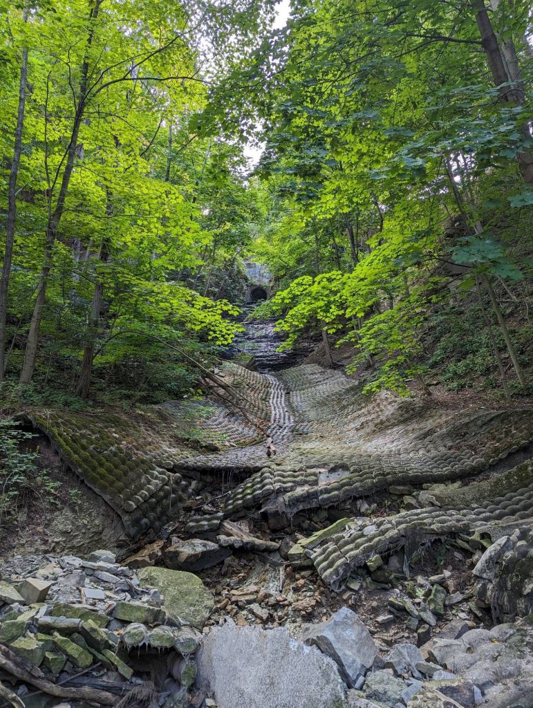
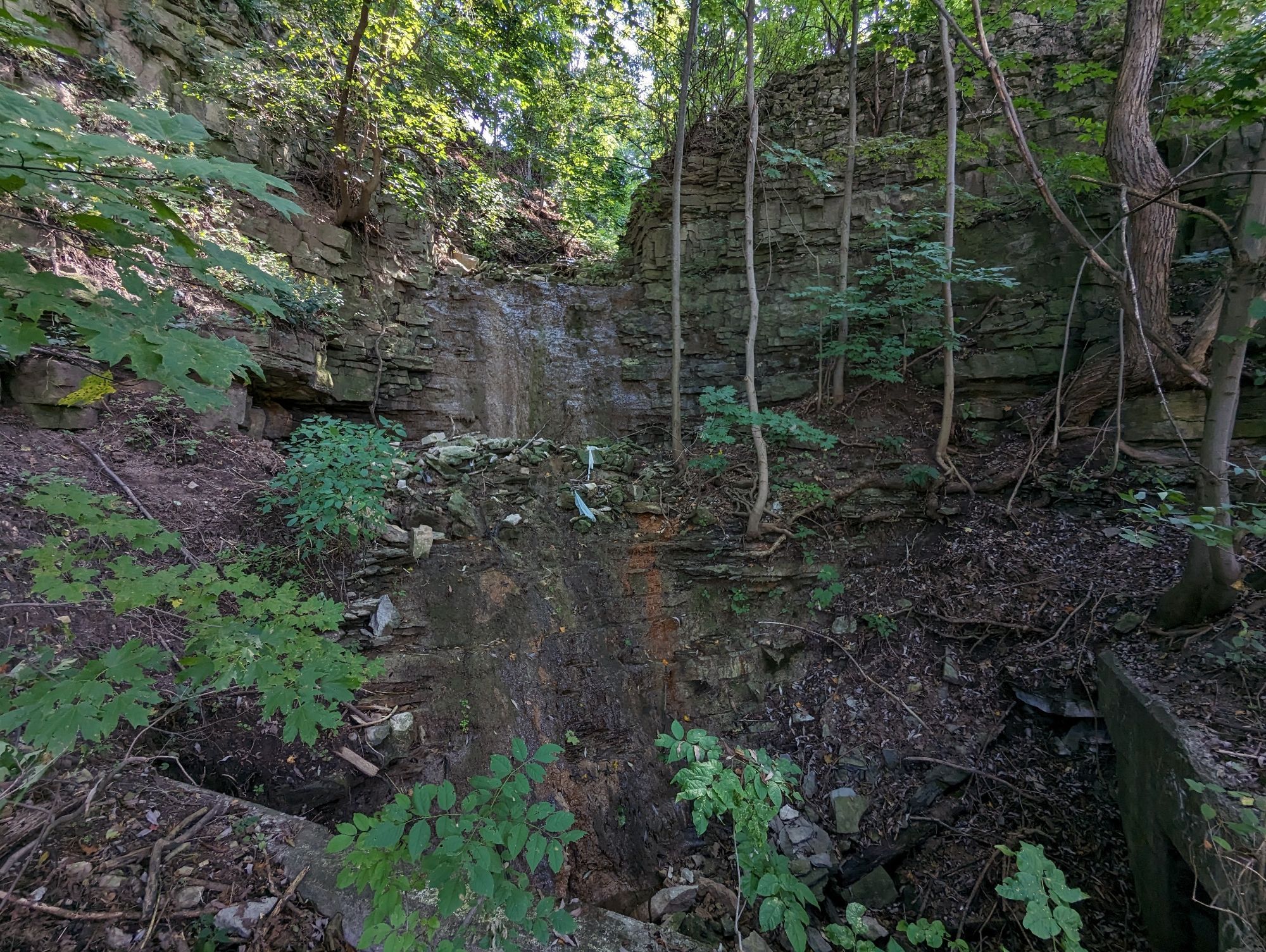
The Bruce gets a bit tricky here, on a good gradient and full of fractured and moss-covered bedrock. The Chedoke Stairs lead you back down to the Escarpment Rail Trail, and a distant view of Lower Cliffview Falls. Actually flowing today, but the fencing keeps you away.
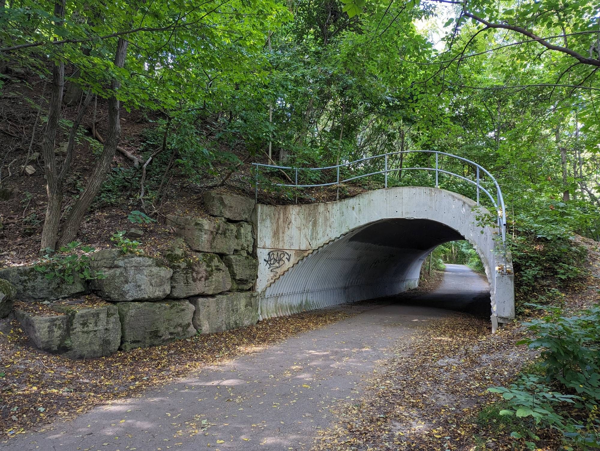
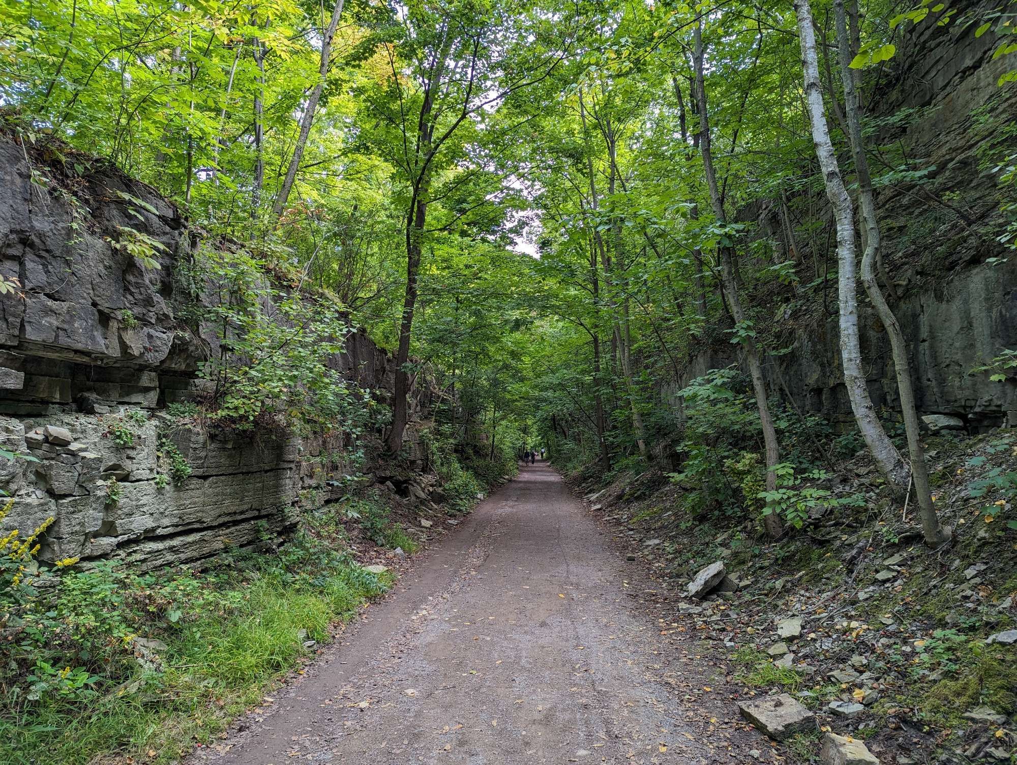
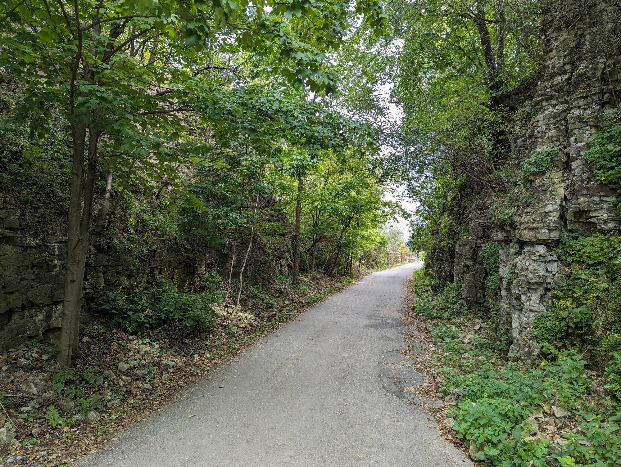
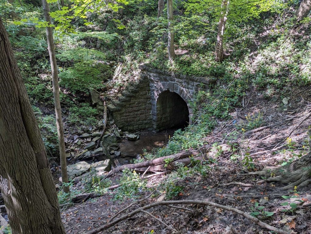
The Rail Trail continues through a quirky tunnel and over a bridge for another Chedoke Creek tributary. This one actually flanks the trail embankment a bit after meandering through the Lower Sanitorium Cascade. No flow here today, but lots of sediment and rock it’s presence.

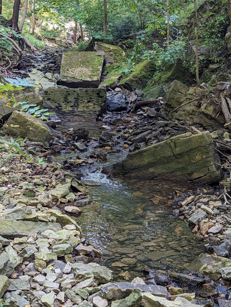
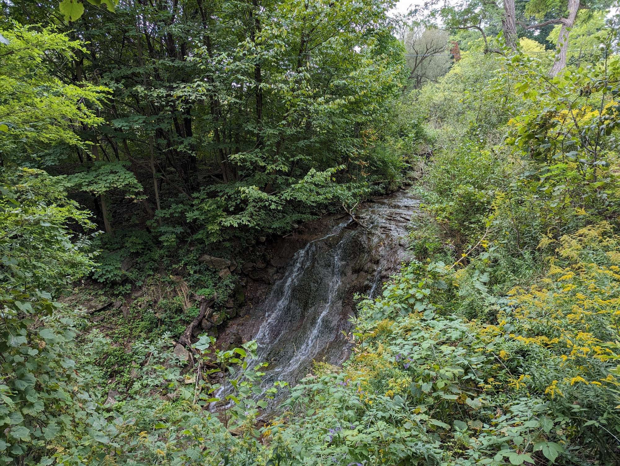
Next waterfall is Mountview Falls. It’s flowing, and there’s a beautiful cascade from it’s outlet north of Scenic Drive. But attempts to harden it further below have failed miserably. Nature always wins.

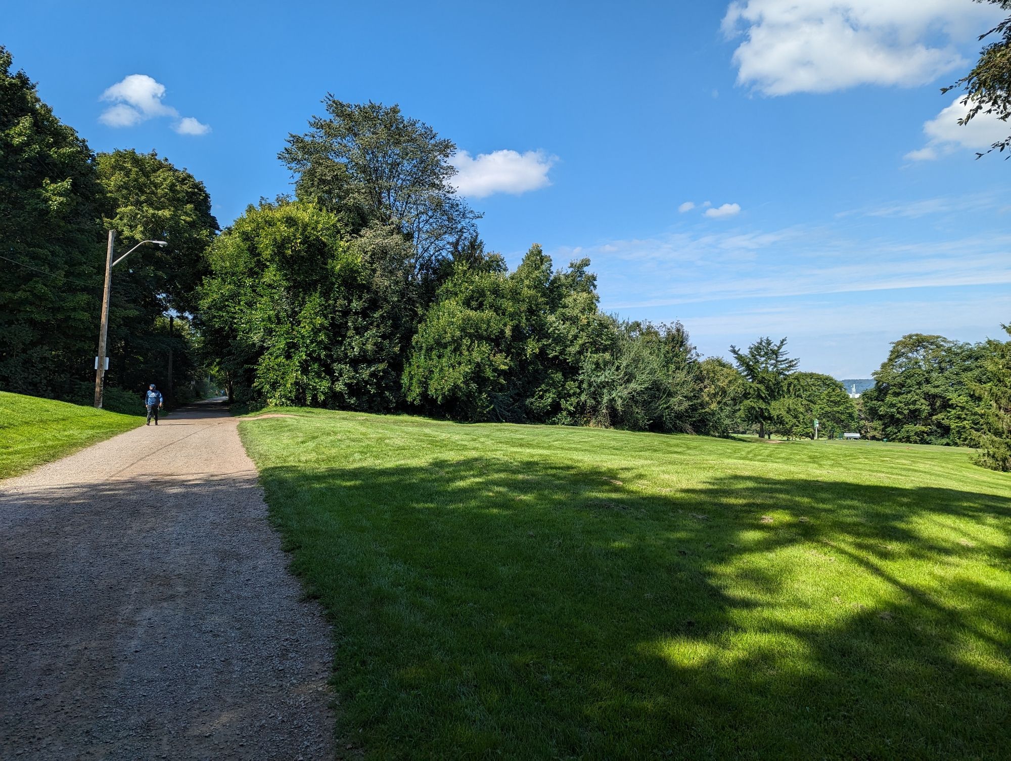
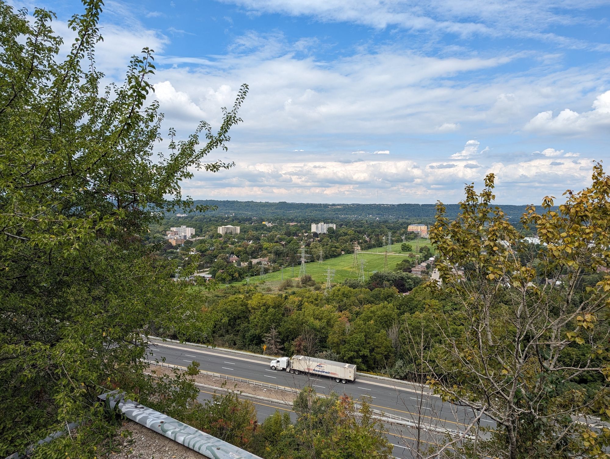
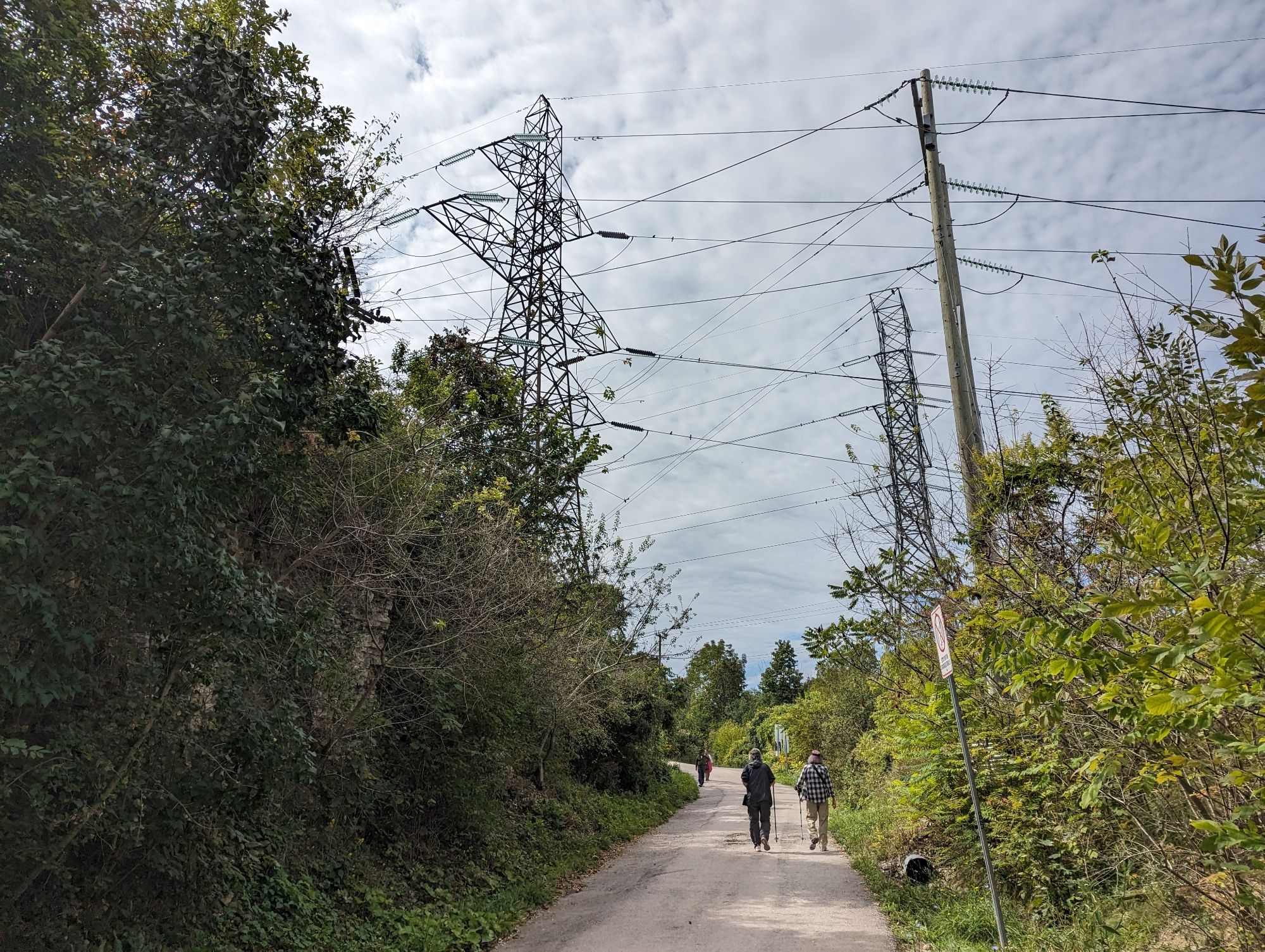
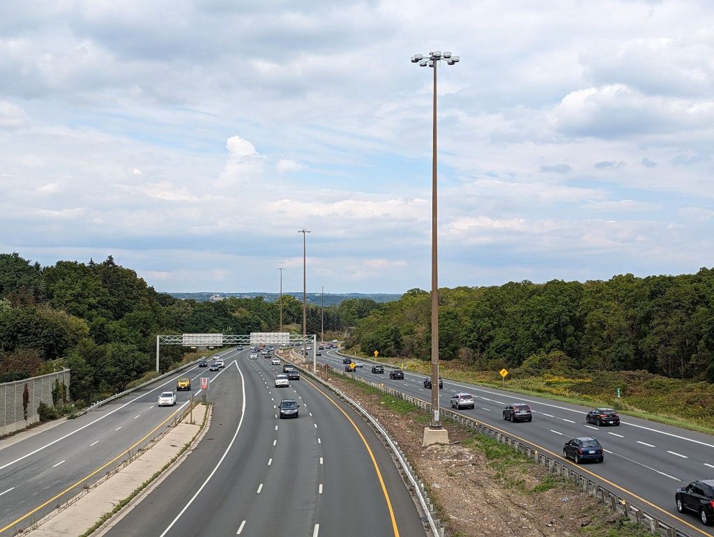
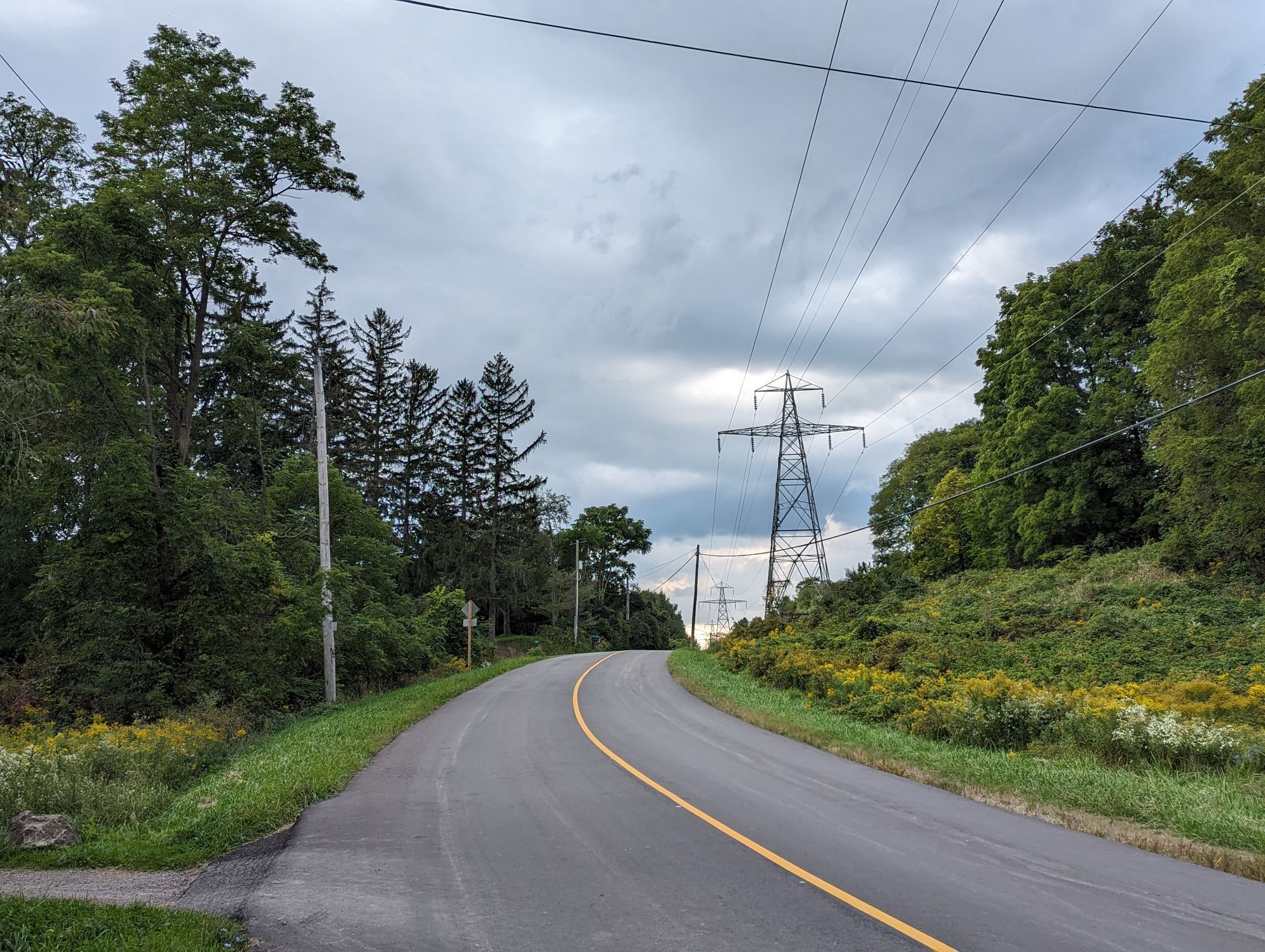
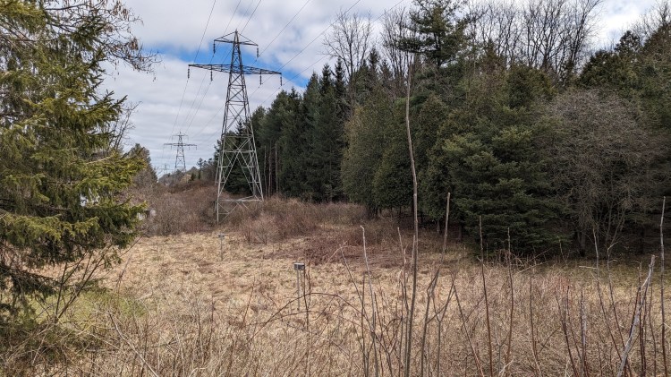
The trail makes a cut through the Escarpment brow, and brings you a view of Dundas and Ainslie Wood (including the hydro corridor through it). We’re getting close to the 403 now, and the tree canopy opens up.


Princess Falls. This is the waterfall I’ve known and seen for years. I always anticipated it when my dad would drive me along this stretch of the 403. A very accessible view. This is followed by Scenic Falls, which is less accessible, but it isn’t actually much of a scene on a dry day.
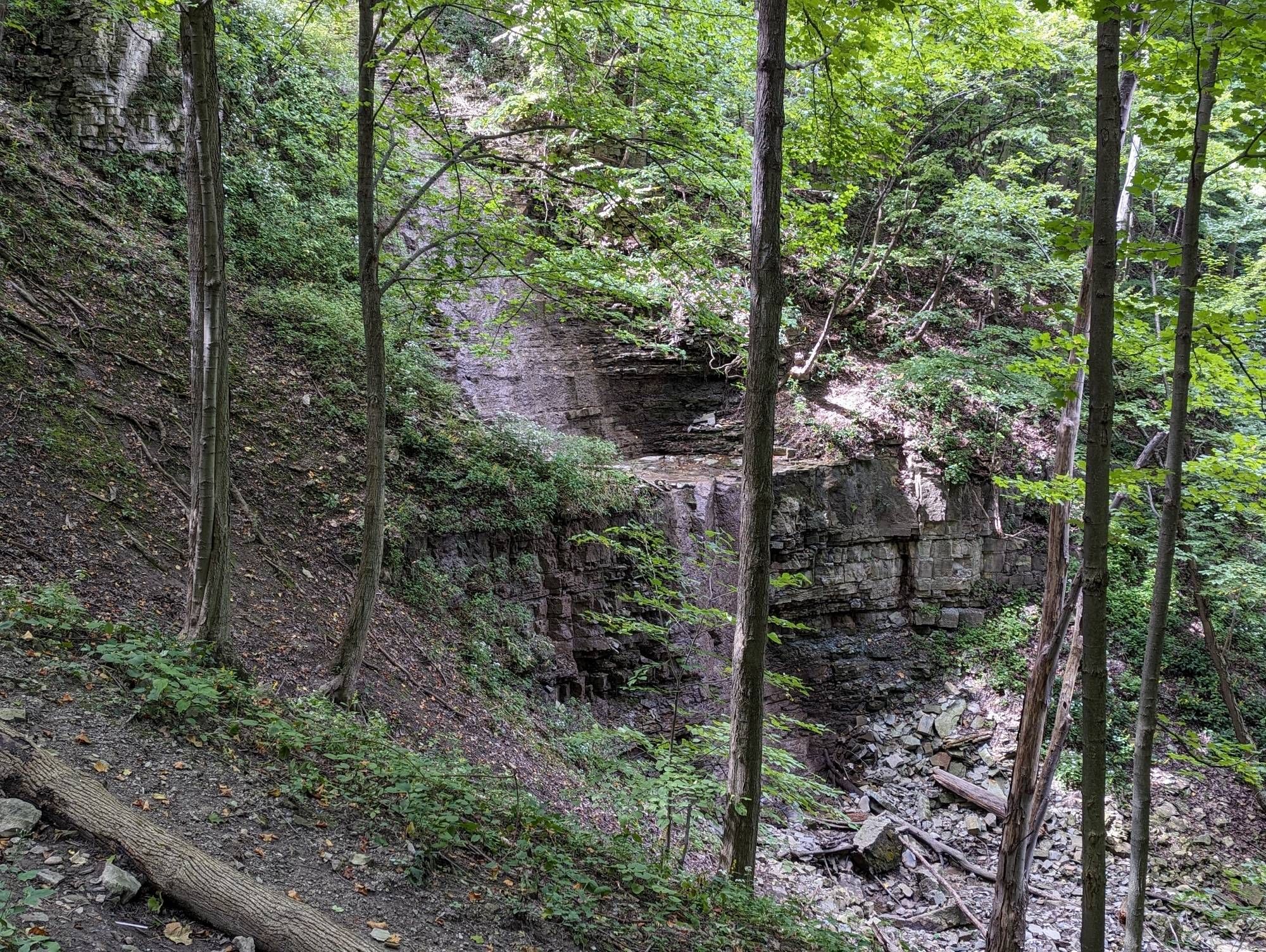
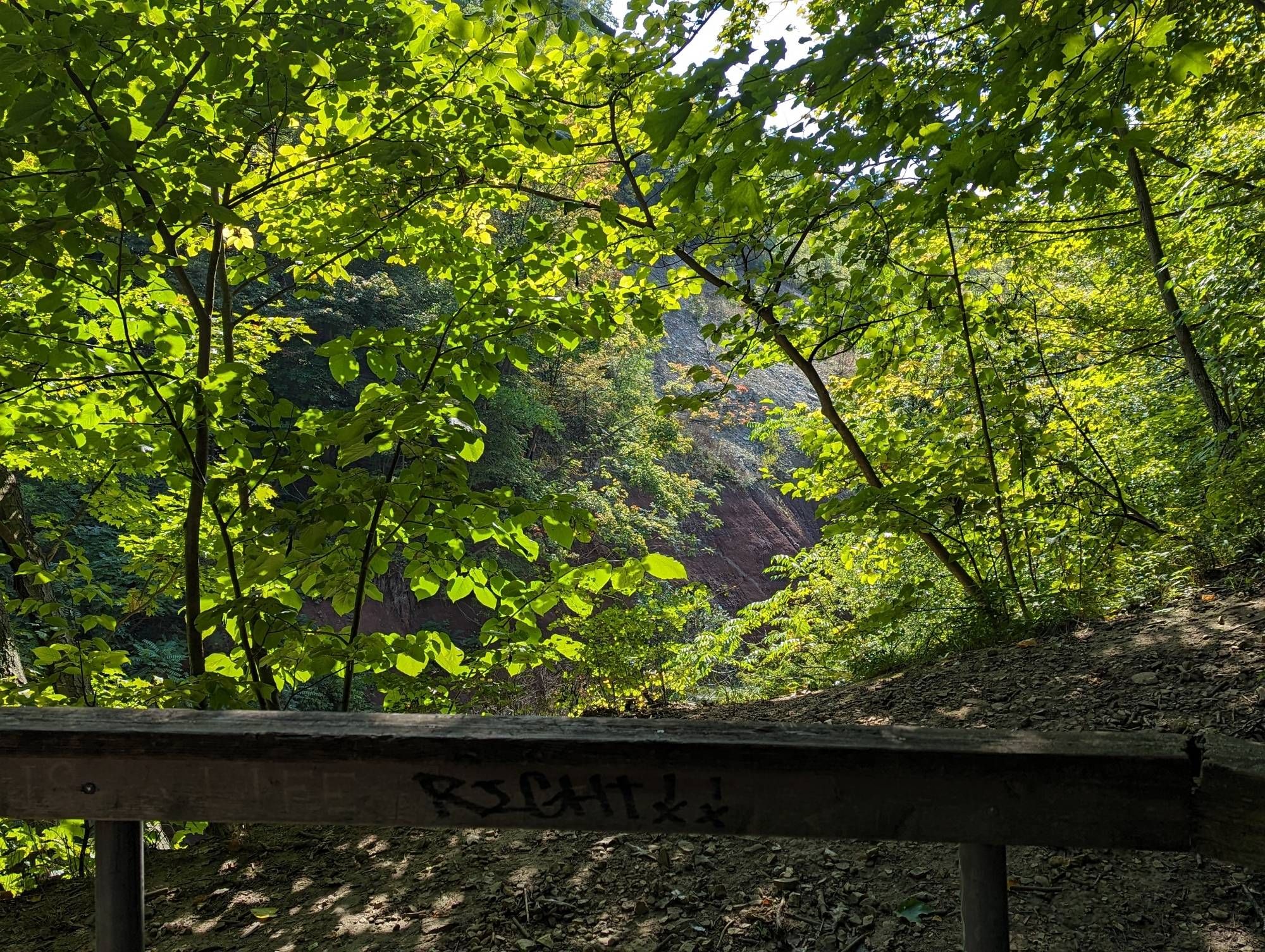
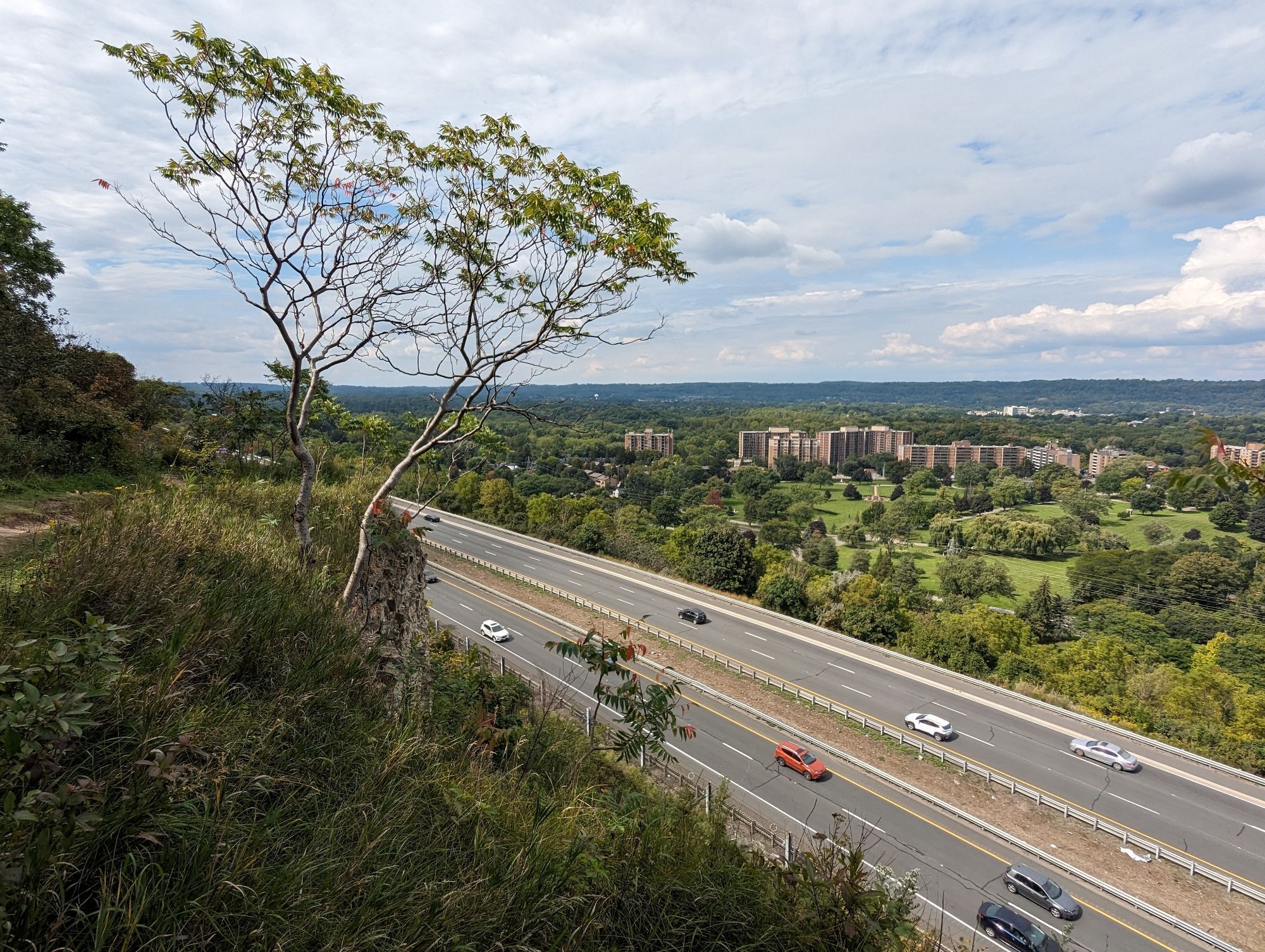
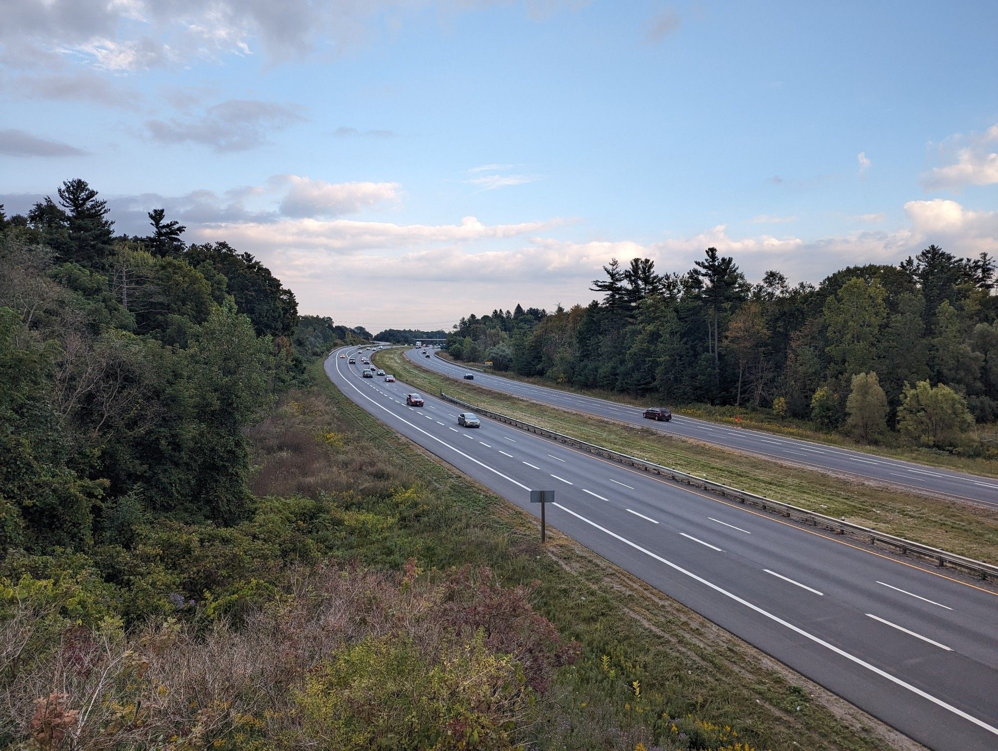
Along the very edge, looking down on the 403. The forest is old and thick. There are also wetlands to the south that retain a lot of water, and send excess over two small jumps over the brow. Again, not much to see today, and dangerous to even go look on other days.
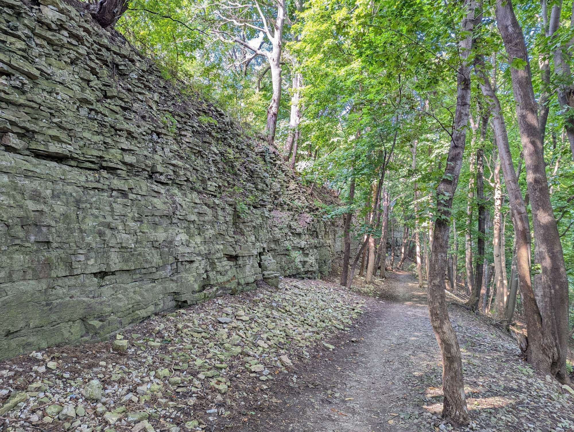
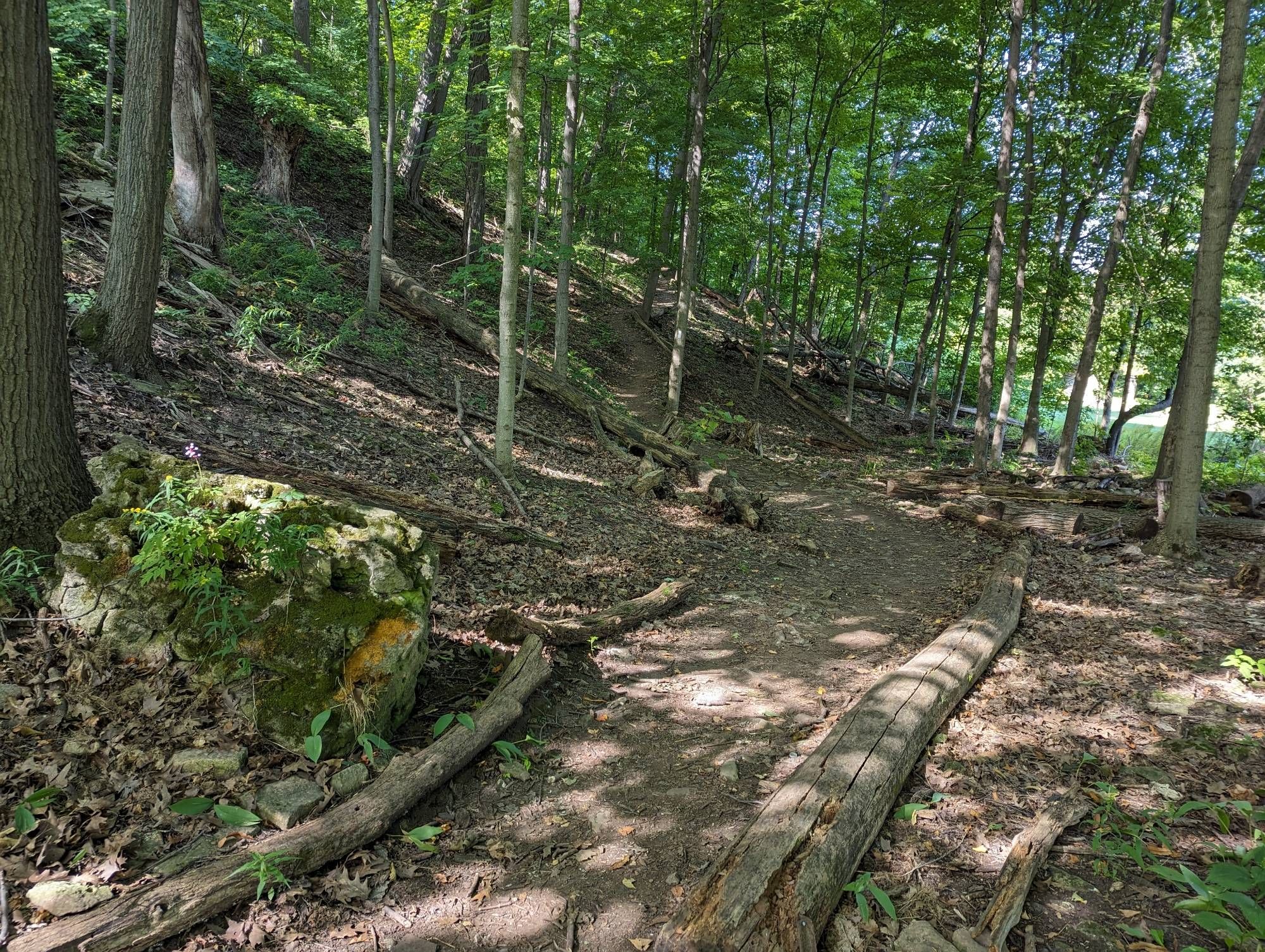
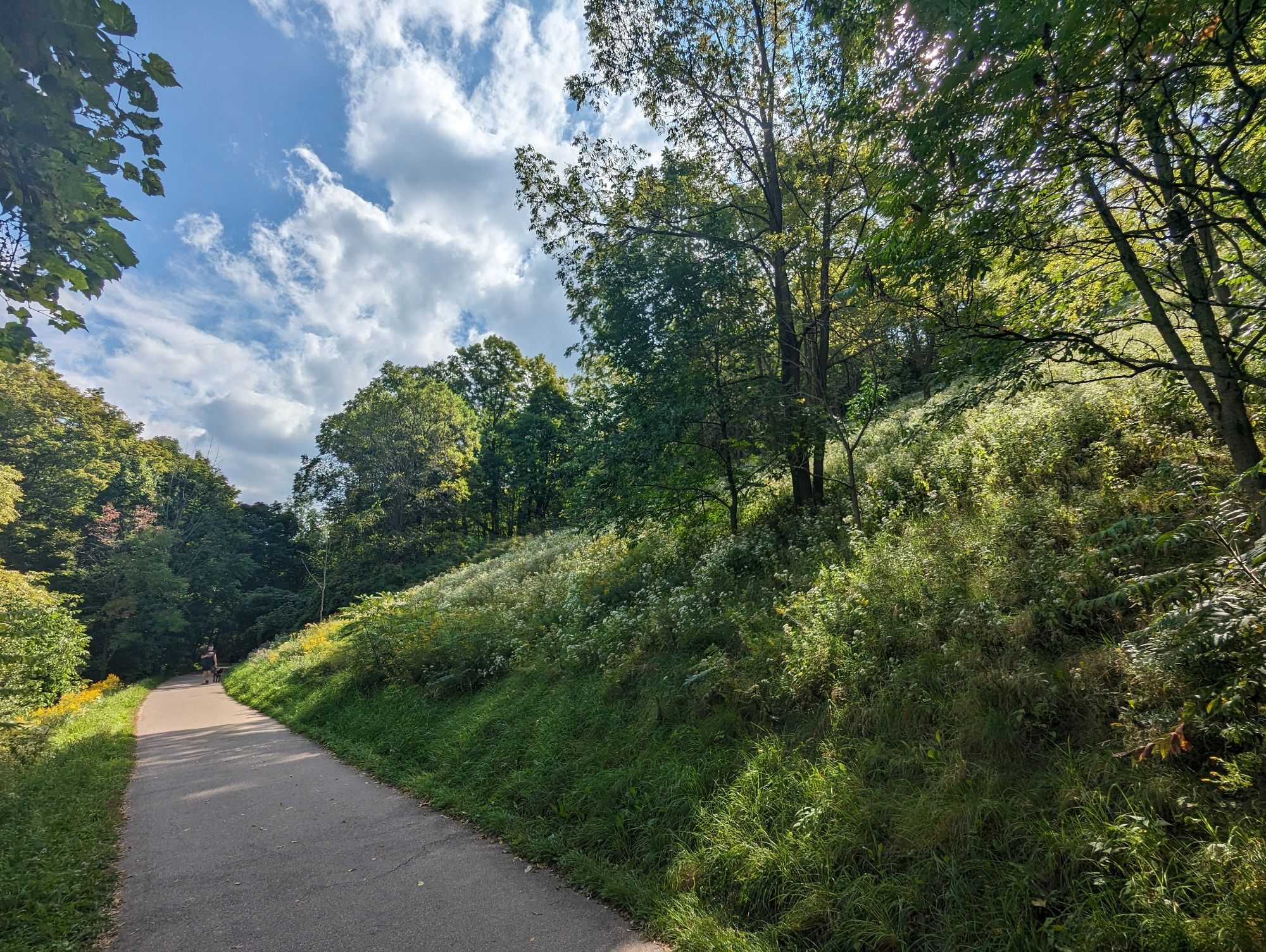
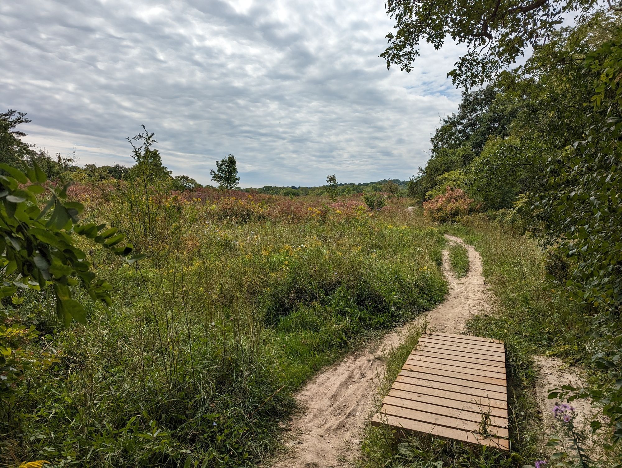
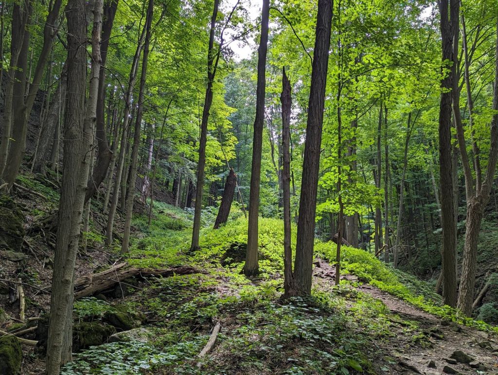
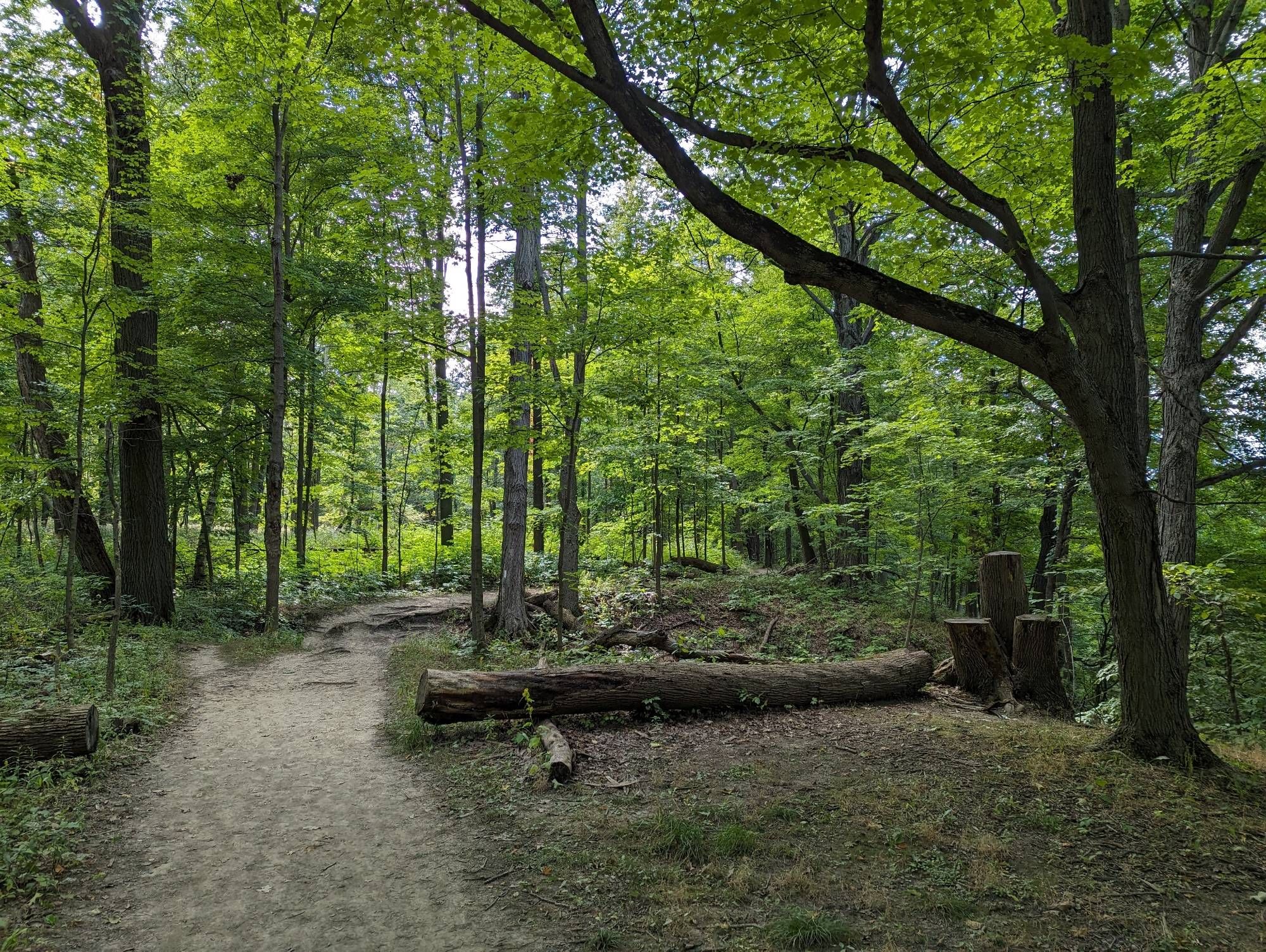
As the escarpment height (relative to the highway) decreases, the ecological community transitions. Dank moist forest, to sandy meadows, to scraggly mixed woodland. The Bruce Trail leads you back to the rail trail.
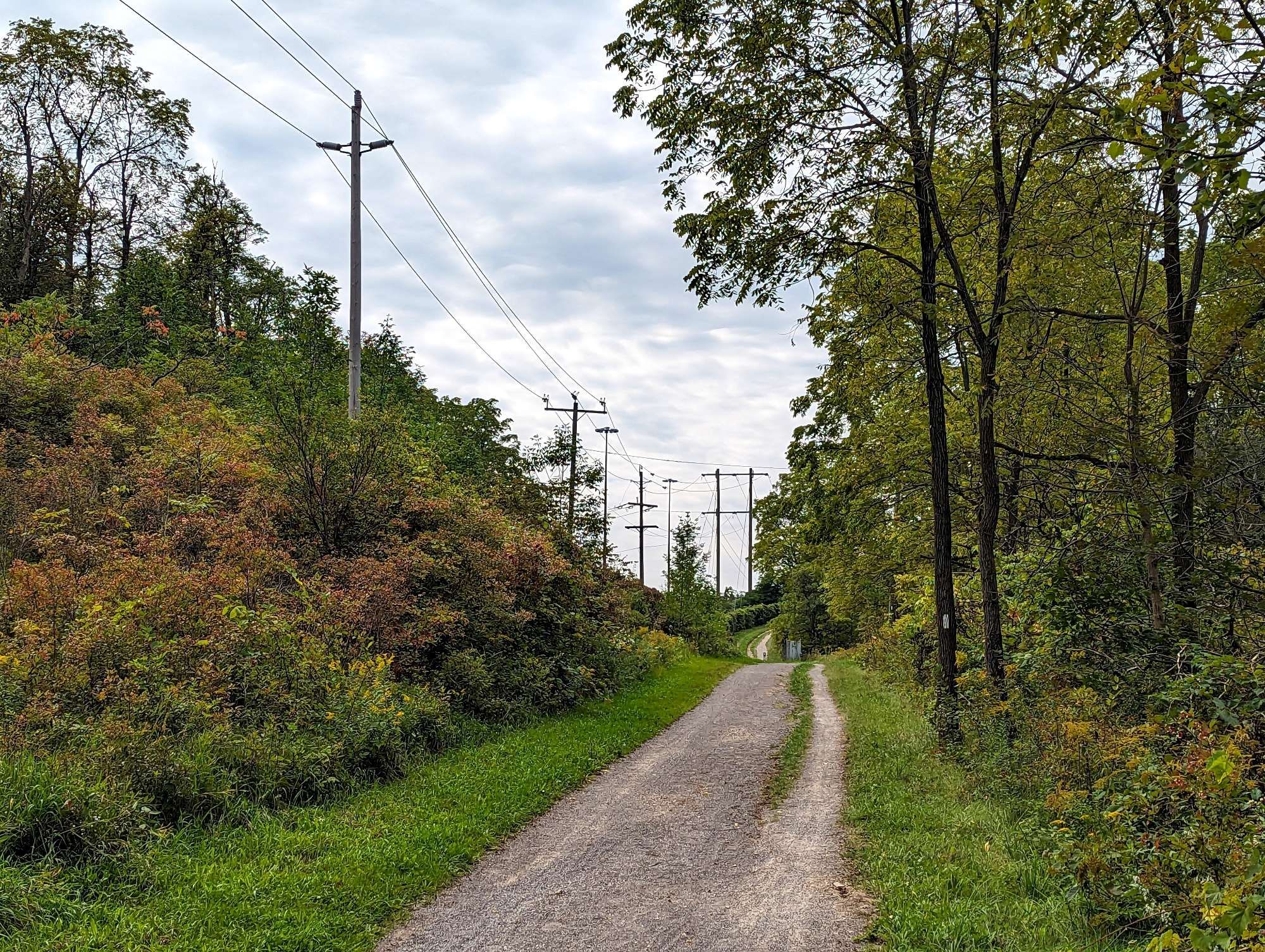
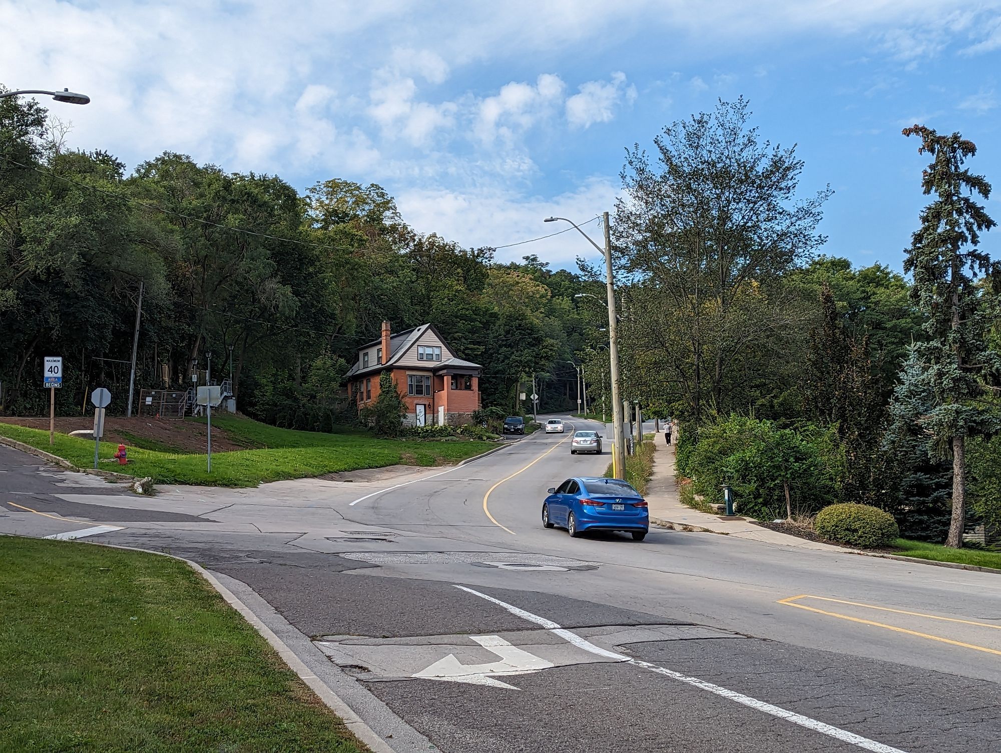
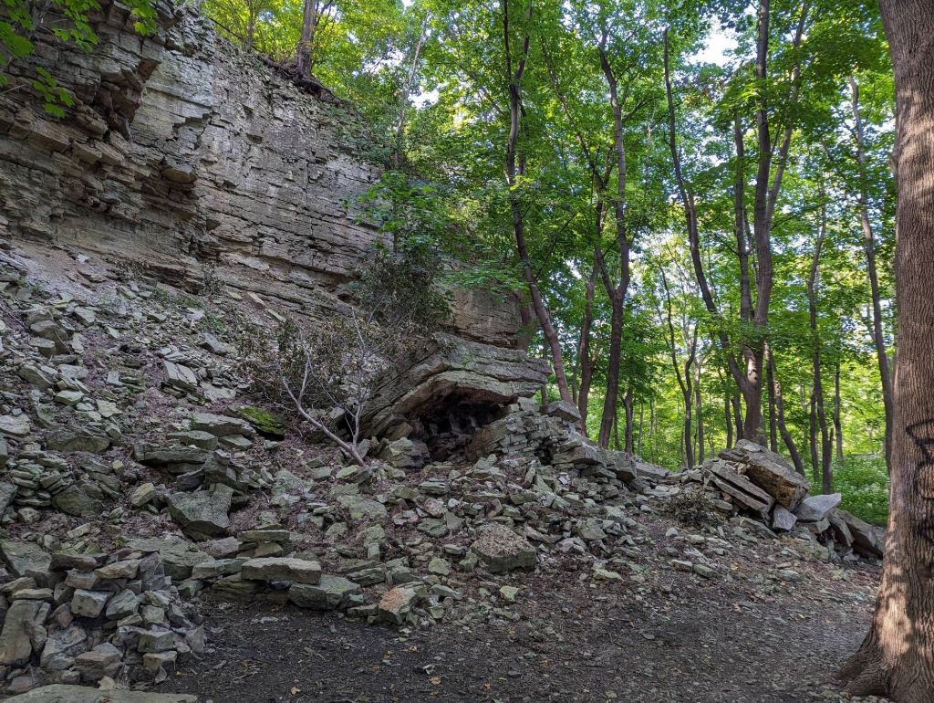
A long jaunt over the highway and down Filman Road. The latter’s north terminus will take you back down into the escarpment natural area. The rocks get really mossy, the noise dies down, and you begin to feel like a Hobbit taking a Middle Earth adventure.

A short diversion from the Bruce Trail will take you to within viewshot of Lower Shaver Falls, but trespassing notices keep you back. Then the trail gets really difficult with a couple ups and downs, and a surface of slippery and small fractured pieces of escarpment rock.

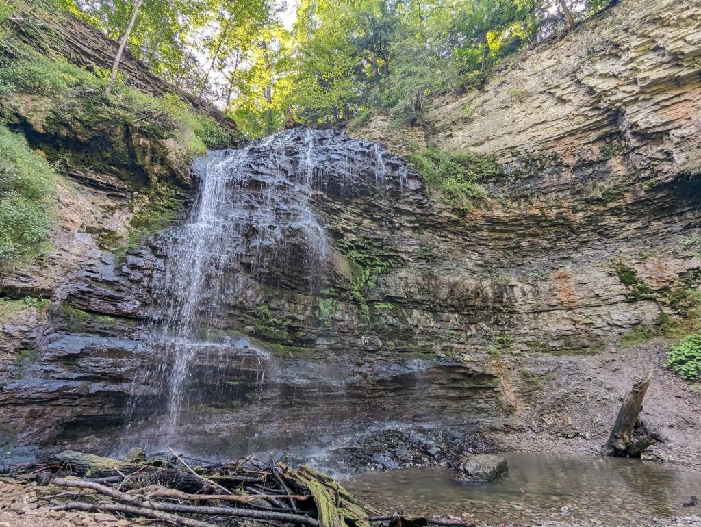
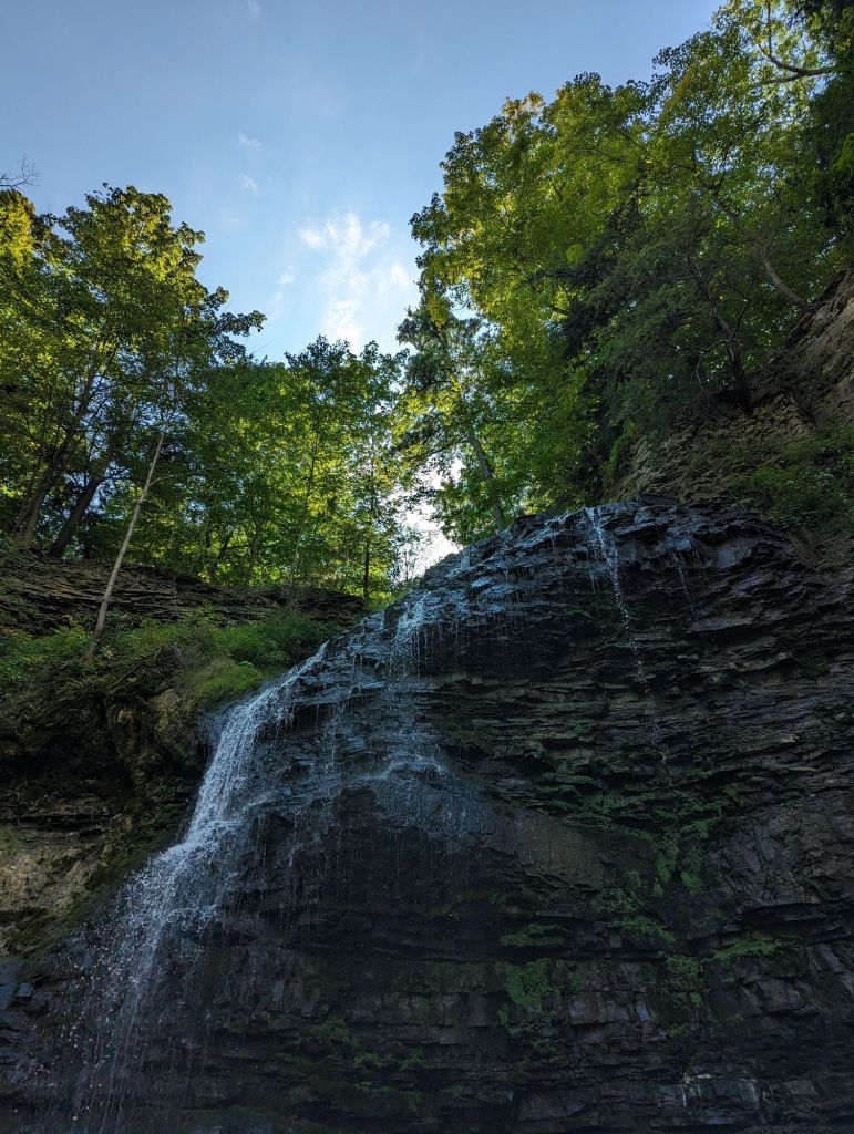
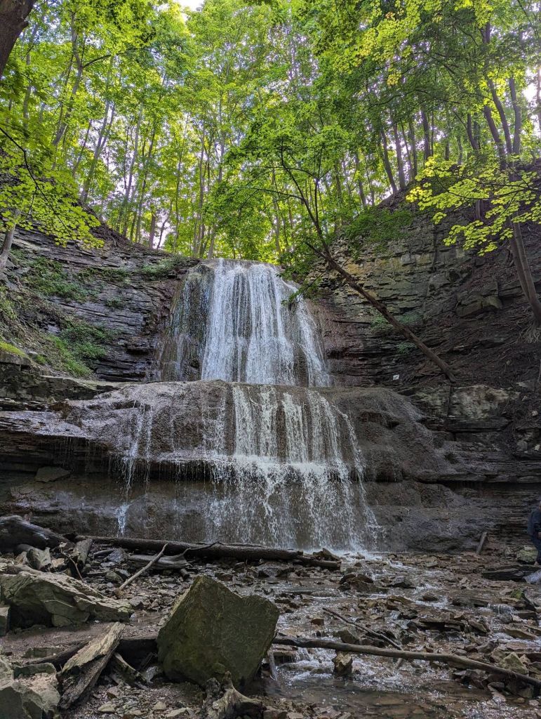
The trail brings you to the parking lot for Tiffany Falls. It’s a tourist/visitor hotspot, but beautiful nonetheless, from the stone culvert under Wilson Street, to the cascade paralleling the trail, to the falls themselves. This is an upper tier waterfall.
I walked up the eastbound Wilson bike lane to capture a couple small crevices that are a sight for wet days: Ancaster Heights Falls and Little Falls (upper and lower). Then I hopped across the road and stumbled down a slope back onto the Bruce Trail westwards.
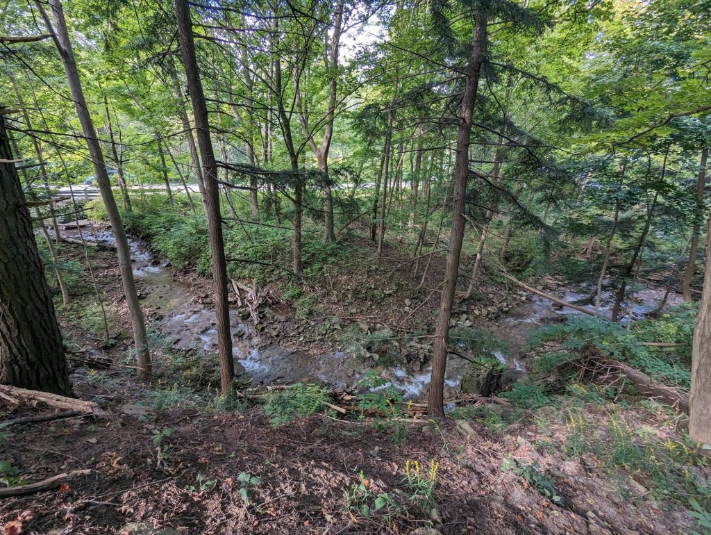
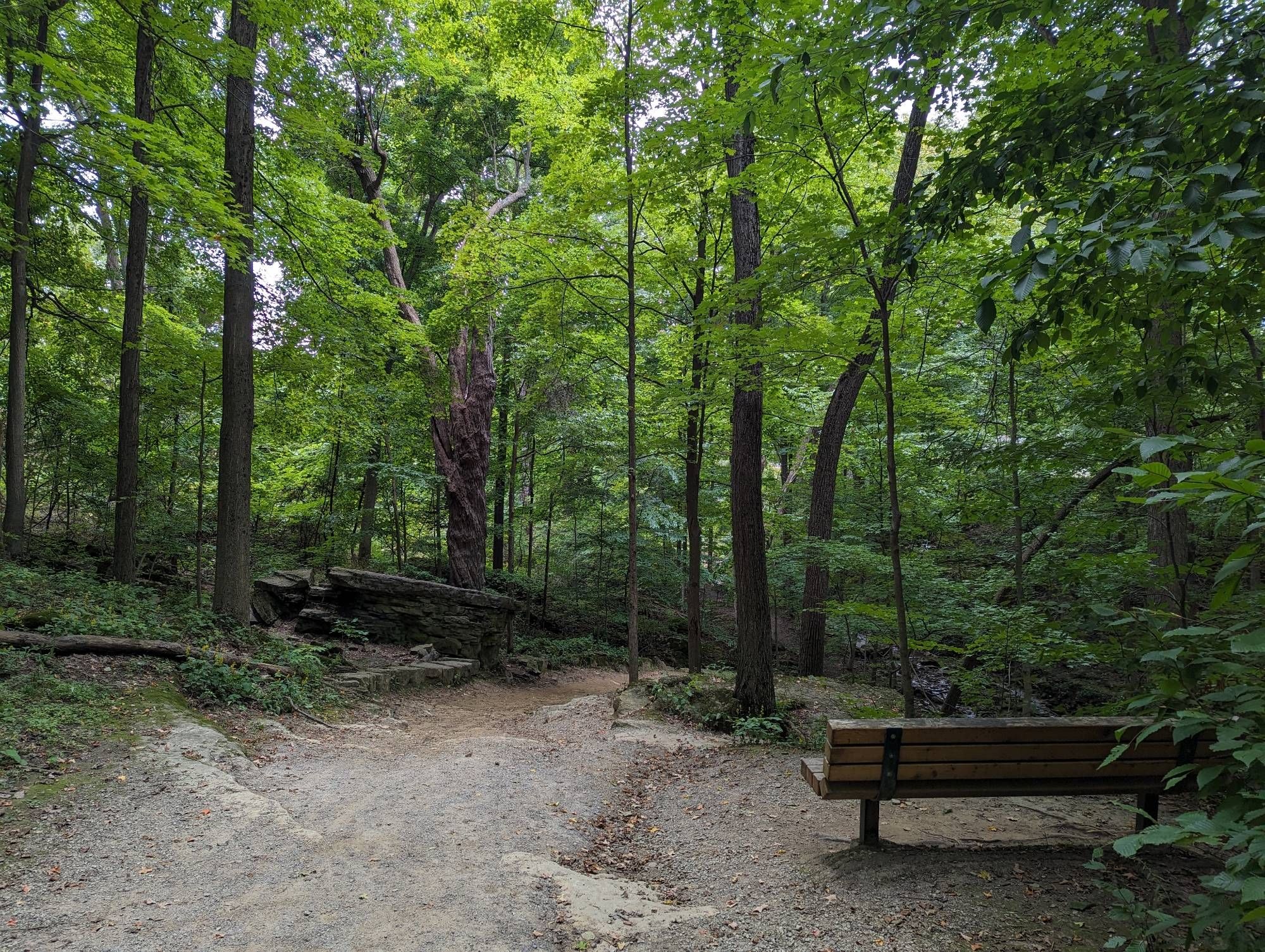
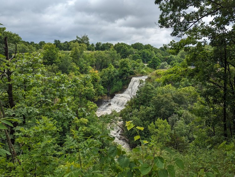
As the trail brings you to Old Dundas Road, you’re treated to a lovely cascade flowing north into the valley. A southbound trail on the other side treats you to Sherman Falls. Another tourism hotspot, but not as crazy. Still lovely, and very healthy flow, probably the most flow I’ve seen yet.
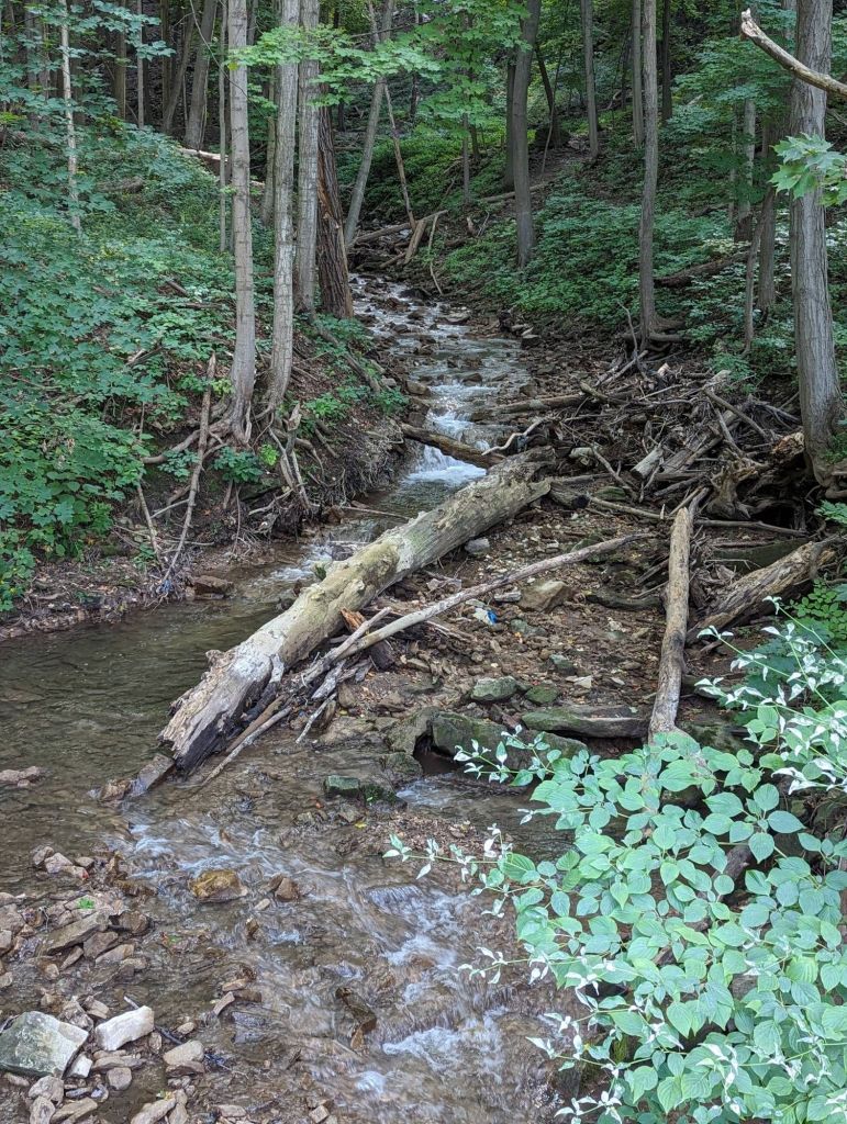
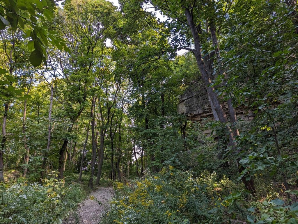
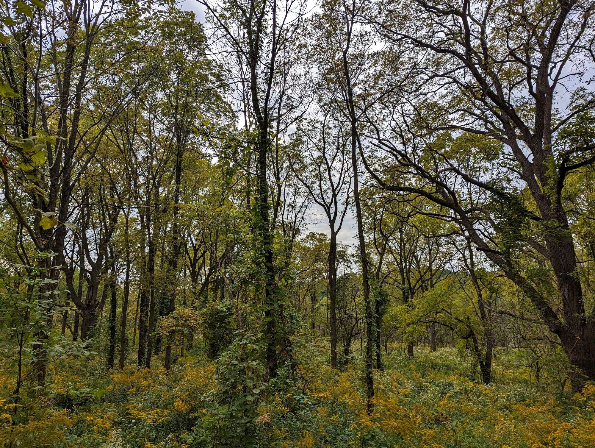
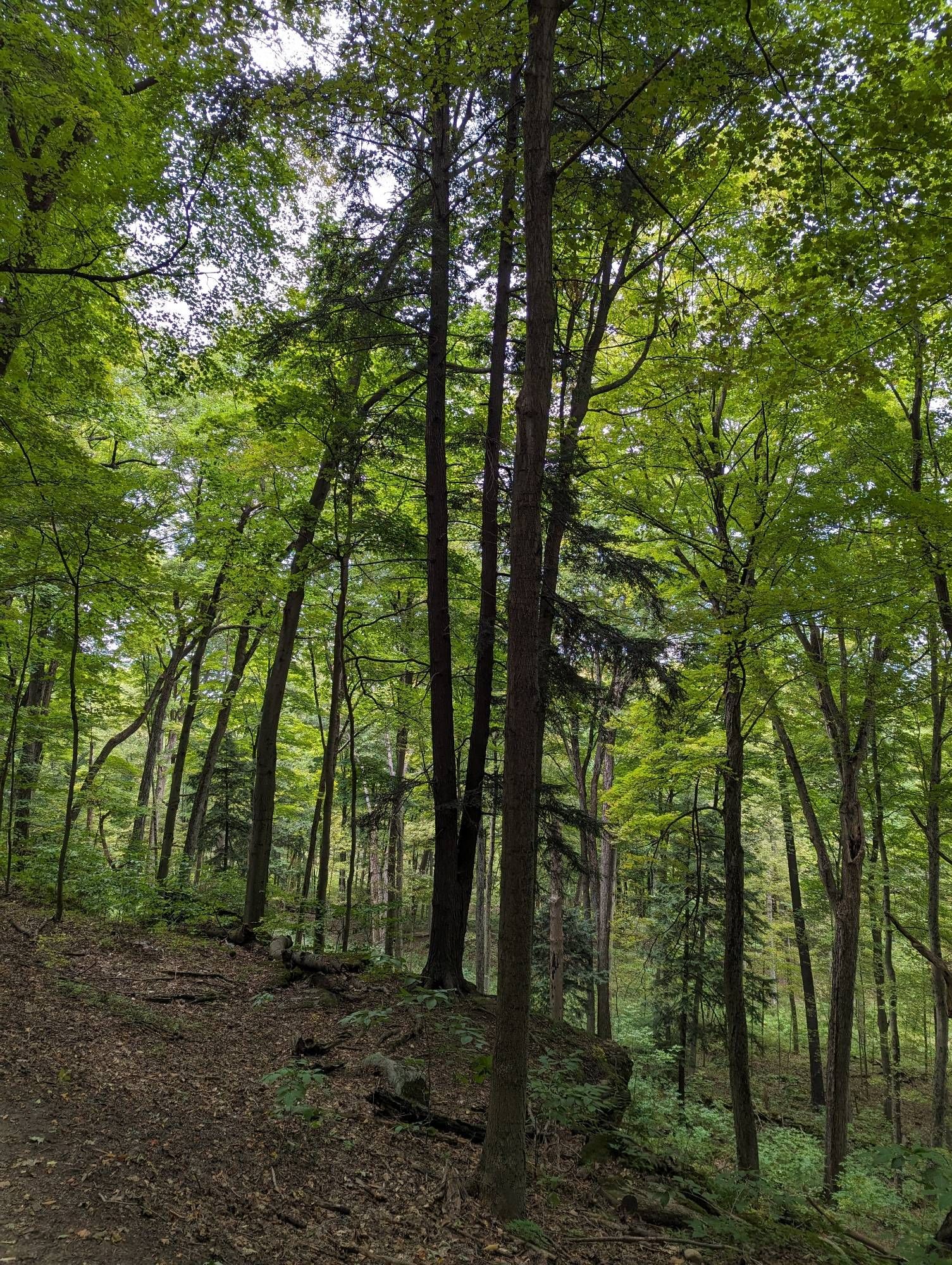
More beautiful escarpment ecosystem. You then wrap around a gully with two versions of Canterbury Falls. One is mostly standing water that’s slightly trickling, the other has got a good bubbling to it.


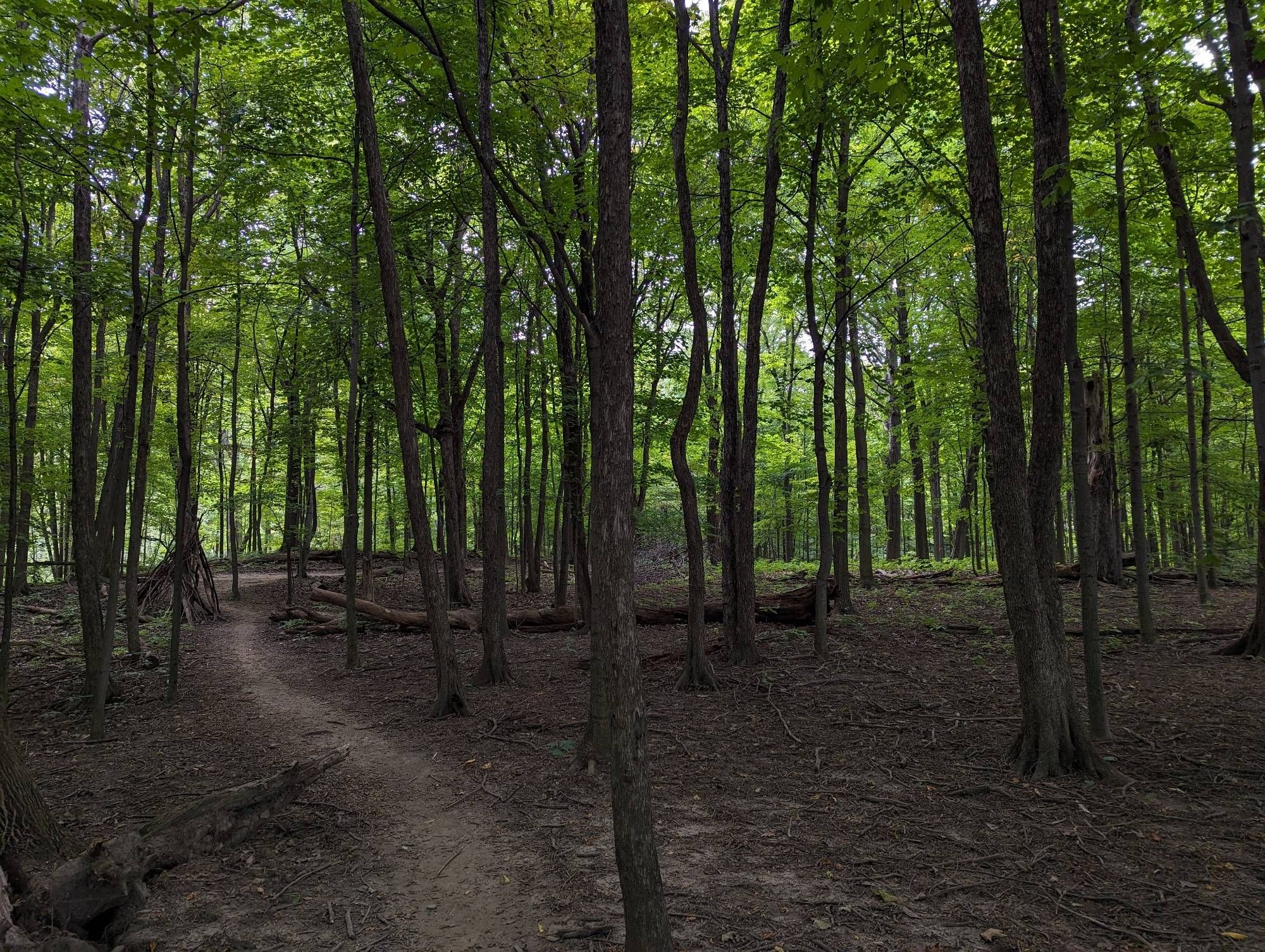
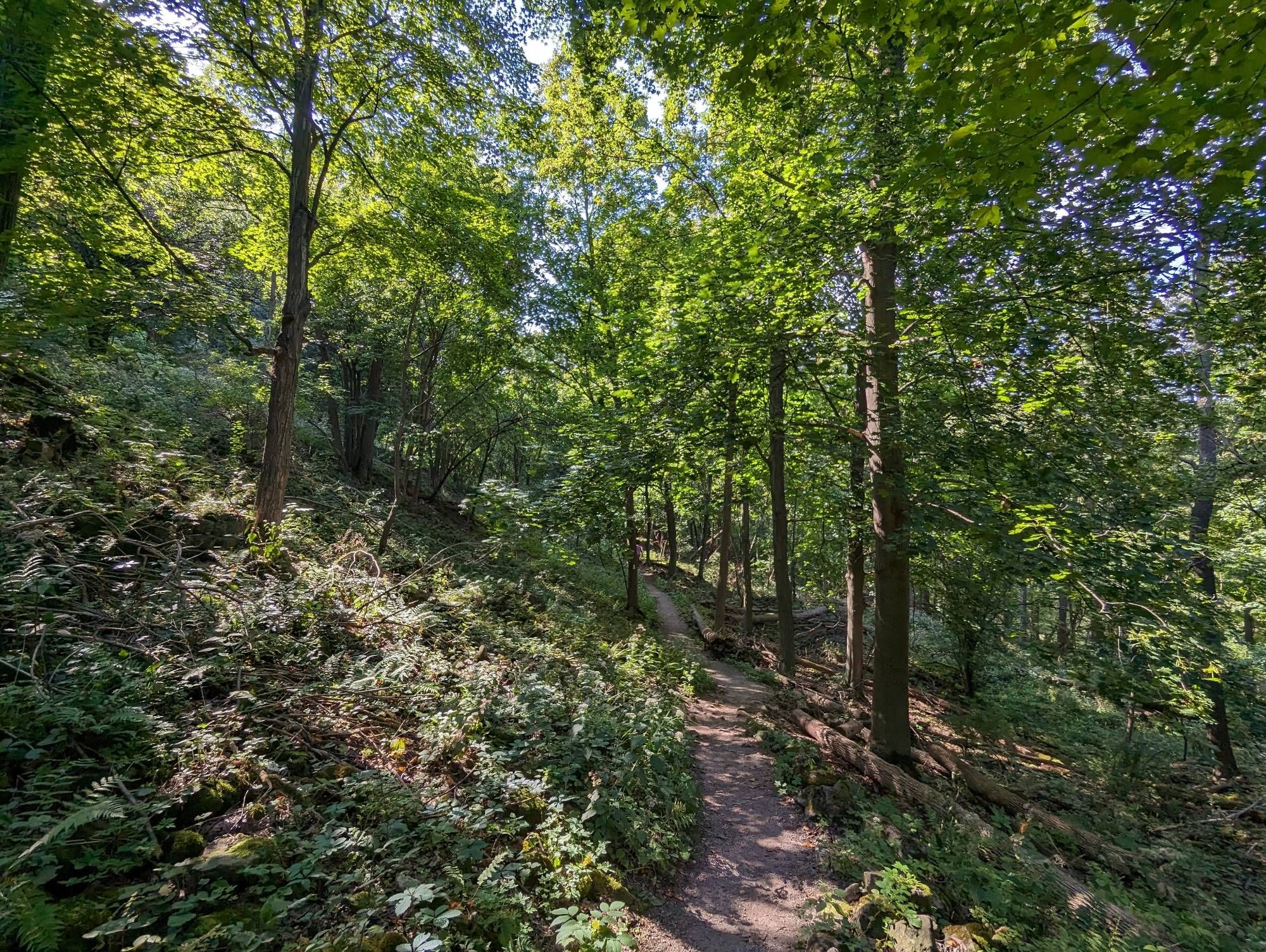
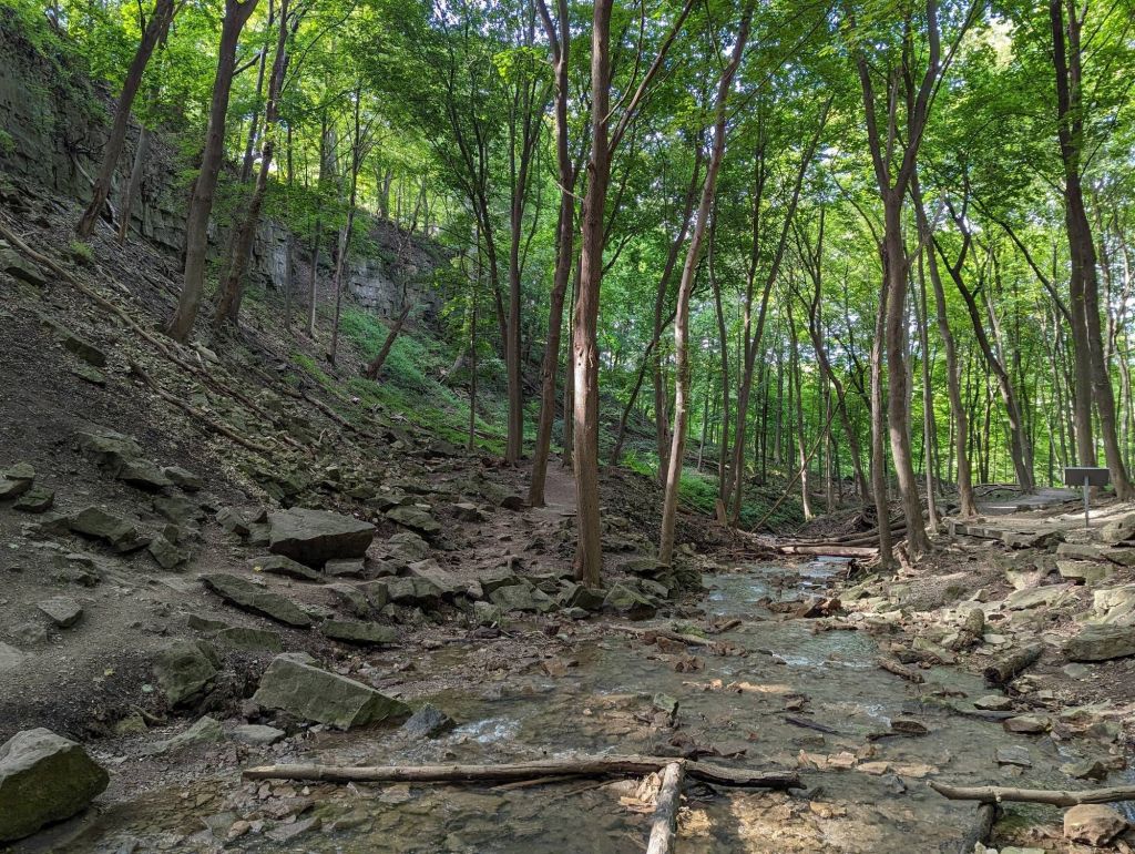
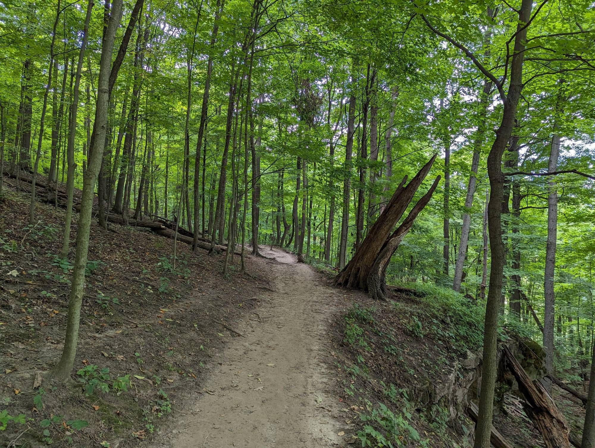
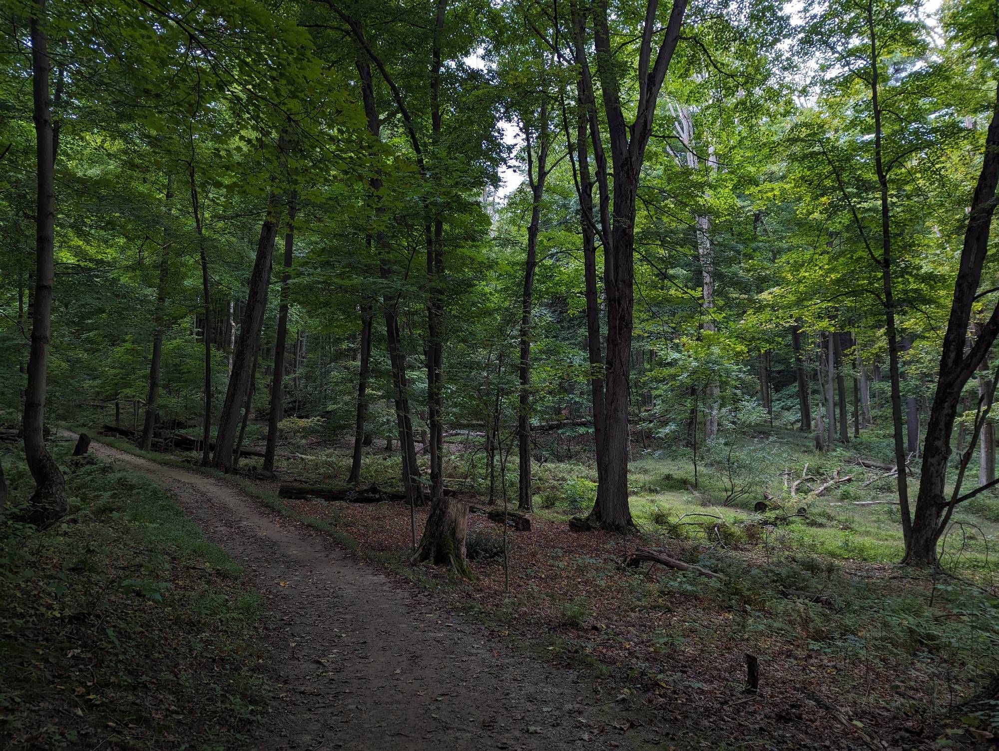
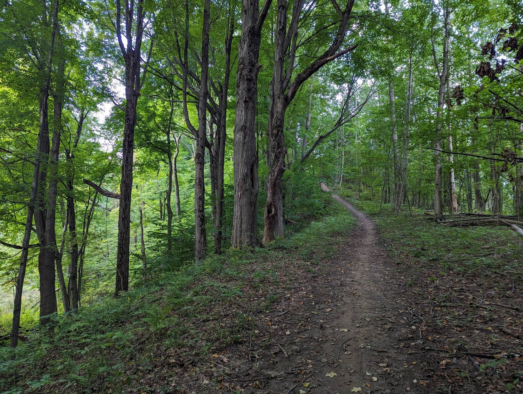
Now a long hike along the Bruce Trail without any waterfalls or anything in particular to search for. Just put it in cruise control. The number of hikers has dropped to nearly zero, there’s no wind, no urban noise. Just birds chirping, frogs singing, and the odd brook babbling.


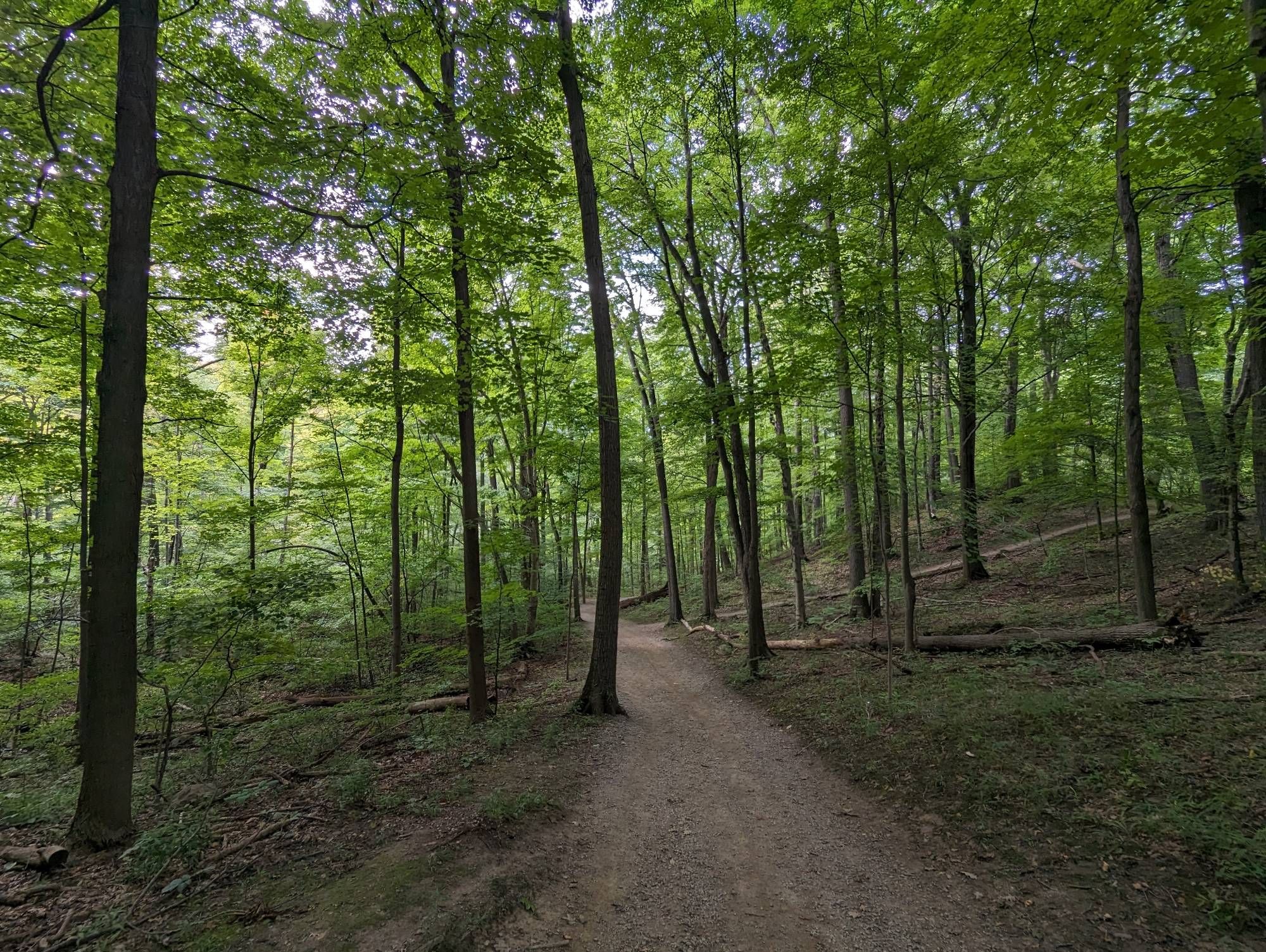
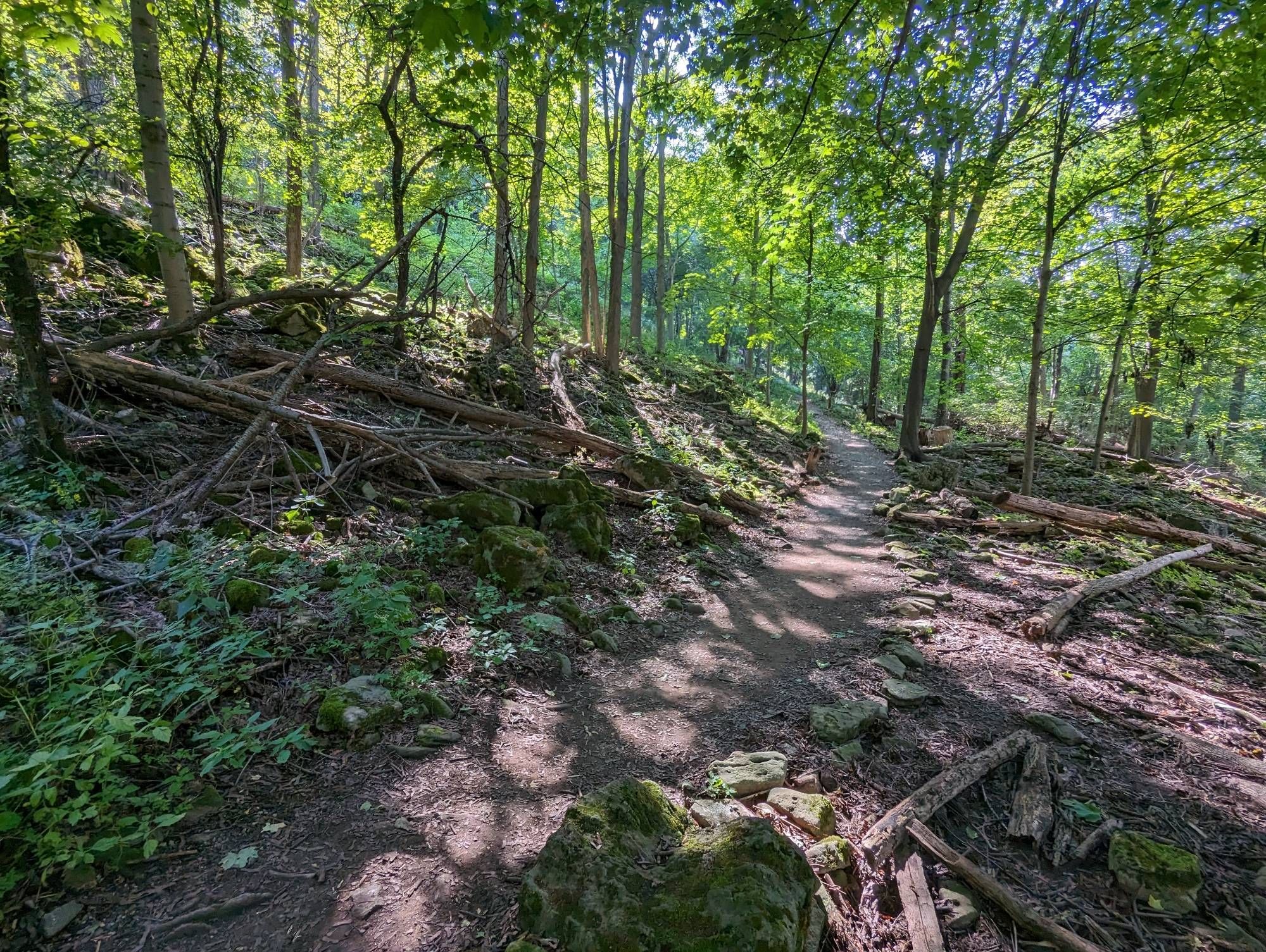
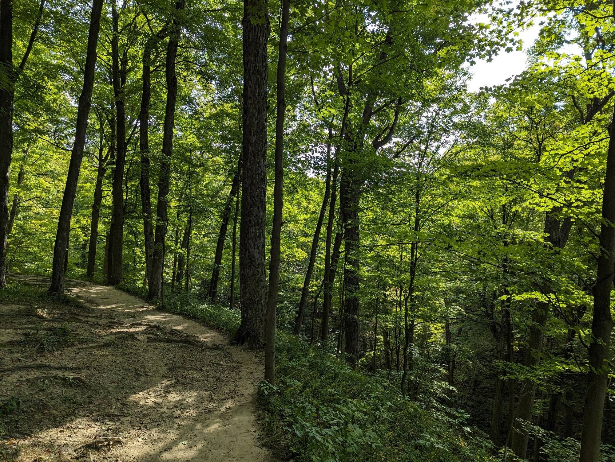
More zigging and zagging along the brow, and up and down. The forest is starting to get some coniferous touches, and there’s really neat formations where large rock chunks have been broken by trees. Eventually I wind my way up to Hermitage Cascade. This marks the last waterfall for today.
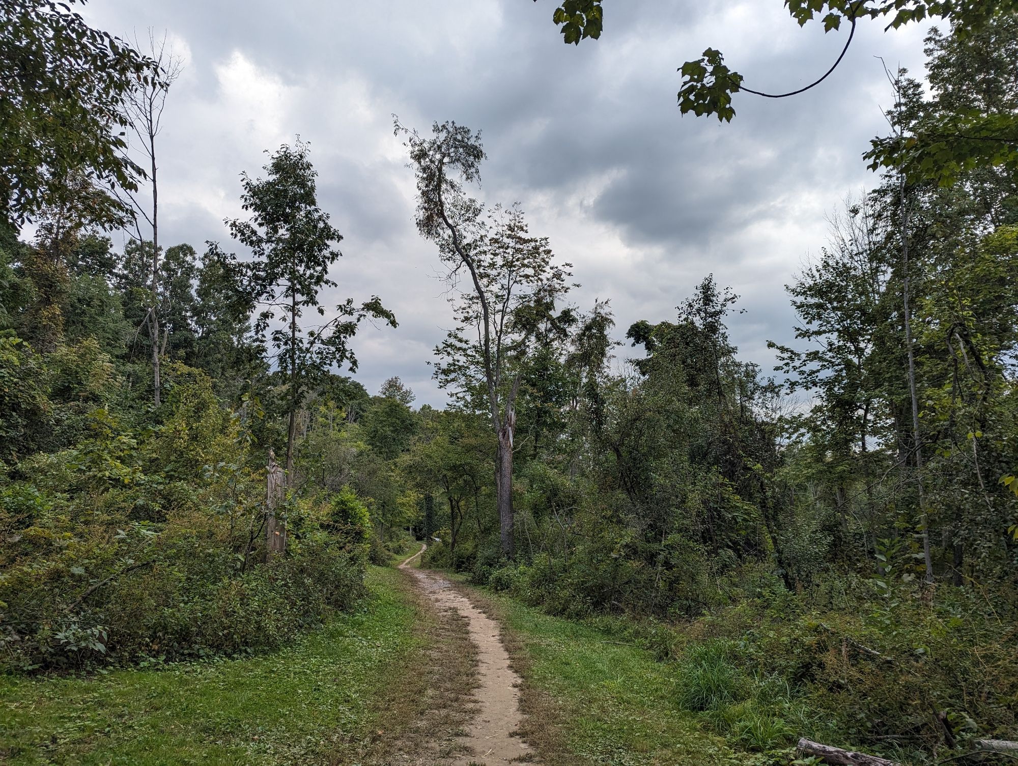
This would have been a good spot to end the walk, but I’m in the middle of Dundas Valley and the nearest bus stop is still ways a way. So my journey through the woods continues.

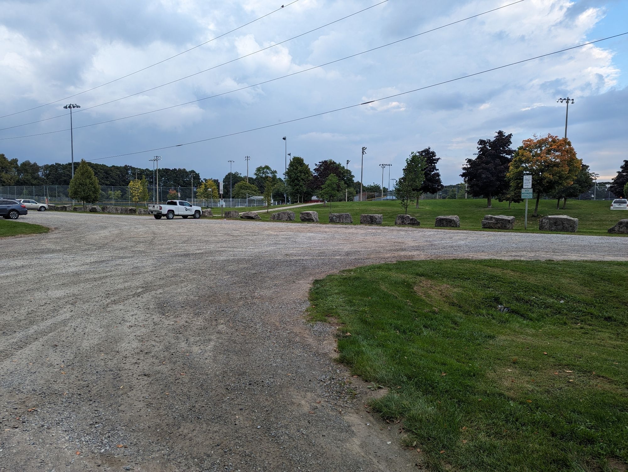
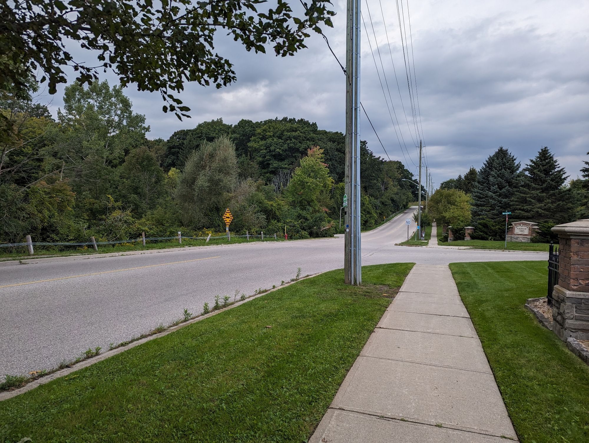
After walking this long, you become exhausted and you run out of water. Confusion sets in. I might have gotten a little turned around despite knowing where I was generally. I’ve now made it out of the woods, literally and figuratively. 8 hours later, I’ve reached my end point. Thanks for following.
Date: September 17, 2023
Length: 22.3 km
Type: Riverine
Related Walks
Escarpment within the central city
Central Escarpment
Intersecting hydro corridor north and south
Dundas Mountain / South Trunk Hydro

Parallel hydro corridor and rail trail to north
Dundas Valley Hydro / Rail