Good morning from central Guelph. Today I’ll be following the Eramosa River, doubling back a bit, and then following Clythe Creek and a couple tributaries. Let’s go.
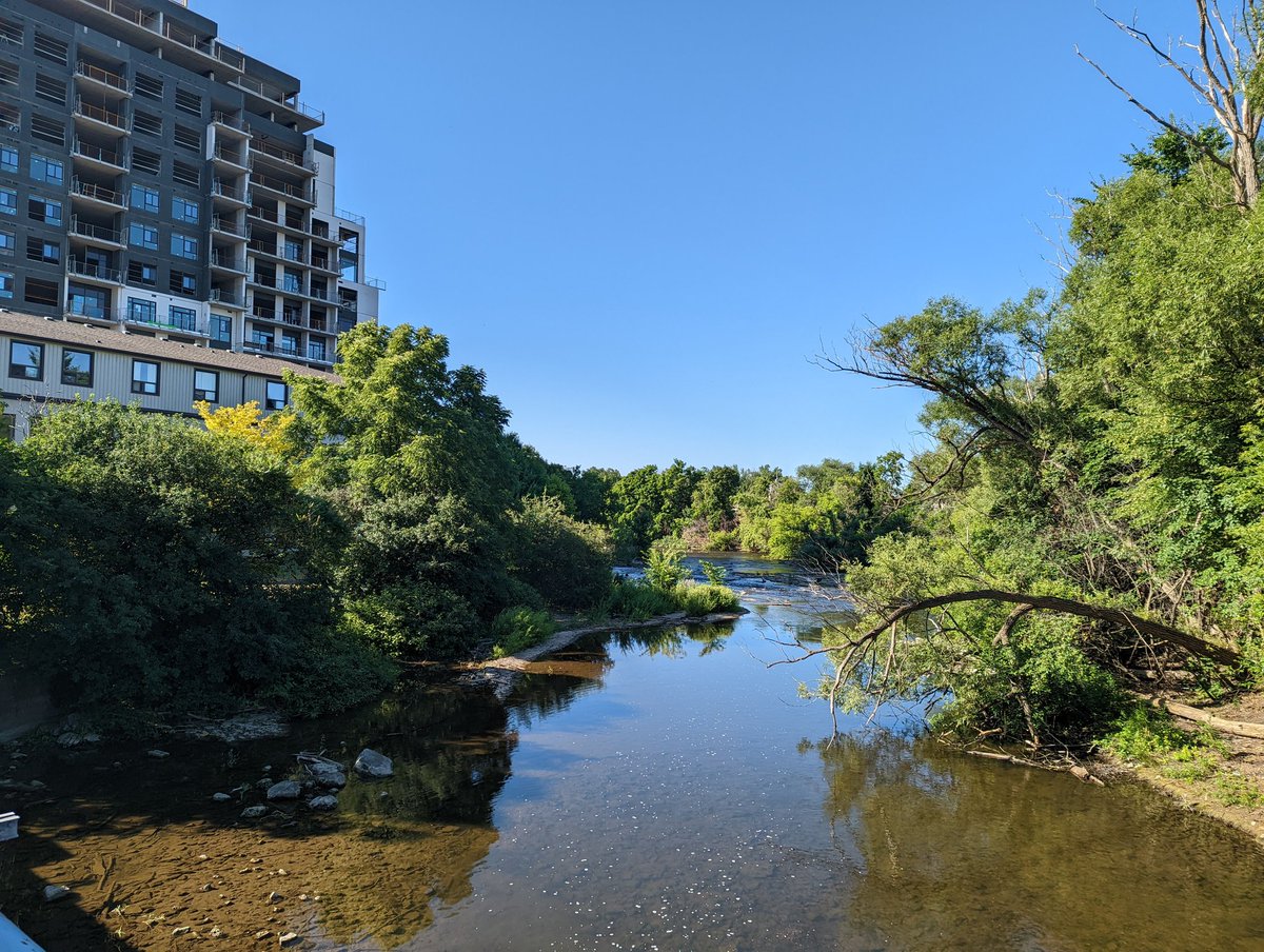
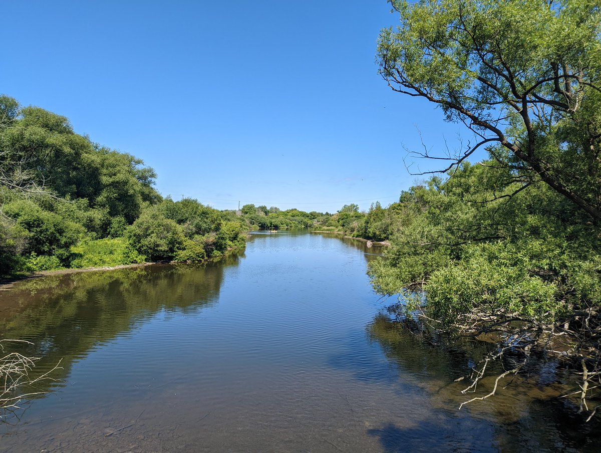
Just east of Gordon Street, south of downtown, the Eramosa River meets the Speed River. You can go over a lattice bridge that celebrated its 30th birthday a couple weeks ago and follow it on the north bank. But I’m taking the south bank, which has its own footpath.


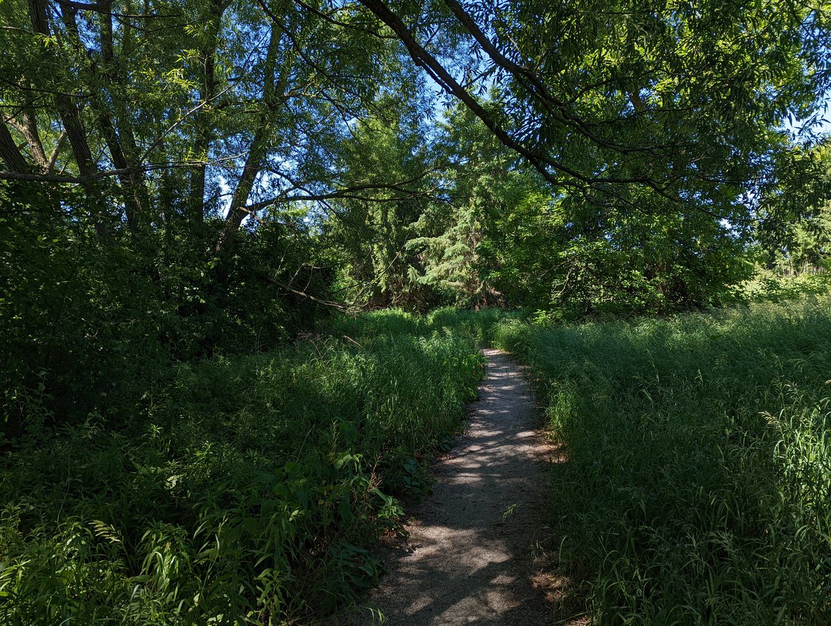
The southern bank trail jets off from the east terminus of James Street. I prepared myself for a rocky up-and-down dirt path, but it’s been 10 years since I was here last, and there’s a good wide path here now. It passes along the Cutten Fields, a golf course on University land.


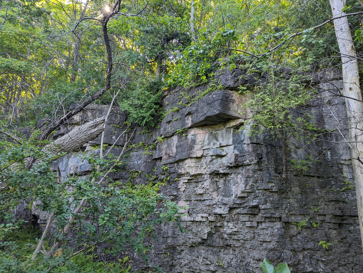
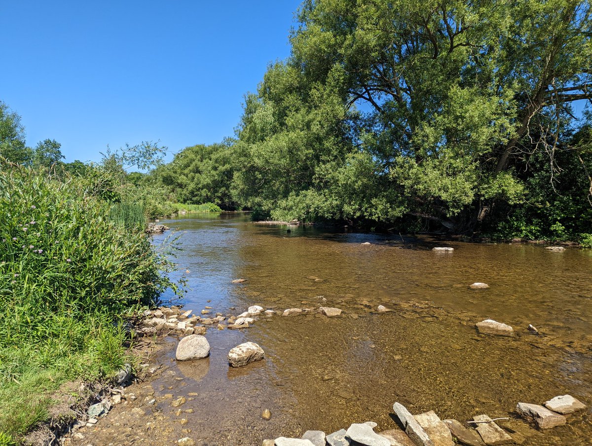
It takes a while, but one of the key reasons I picked the south bank begins revealing itself. There is a rocky shelf and plants to go with it that are similar to what you would find along the Niagara Escarpment. Layered and fractured rocks with ferns and hardwoods hanging on.
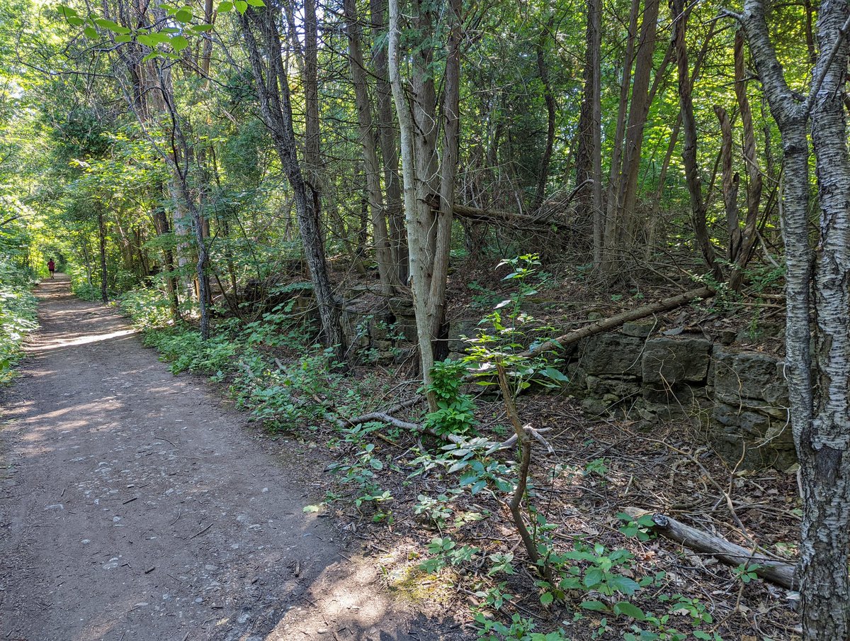

Such a beautiful and unique feature, becoming the containing riverine slope. Fractures, crevices, ferns and moss. It grows as you go east, getting up to 4 metres high at least, and having some nice overhangs too.


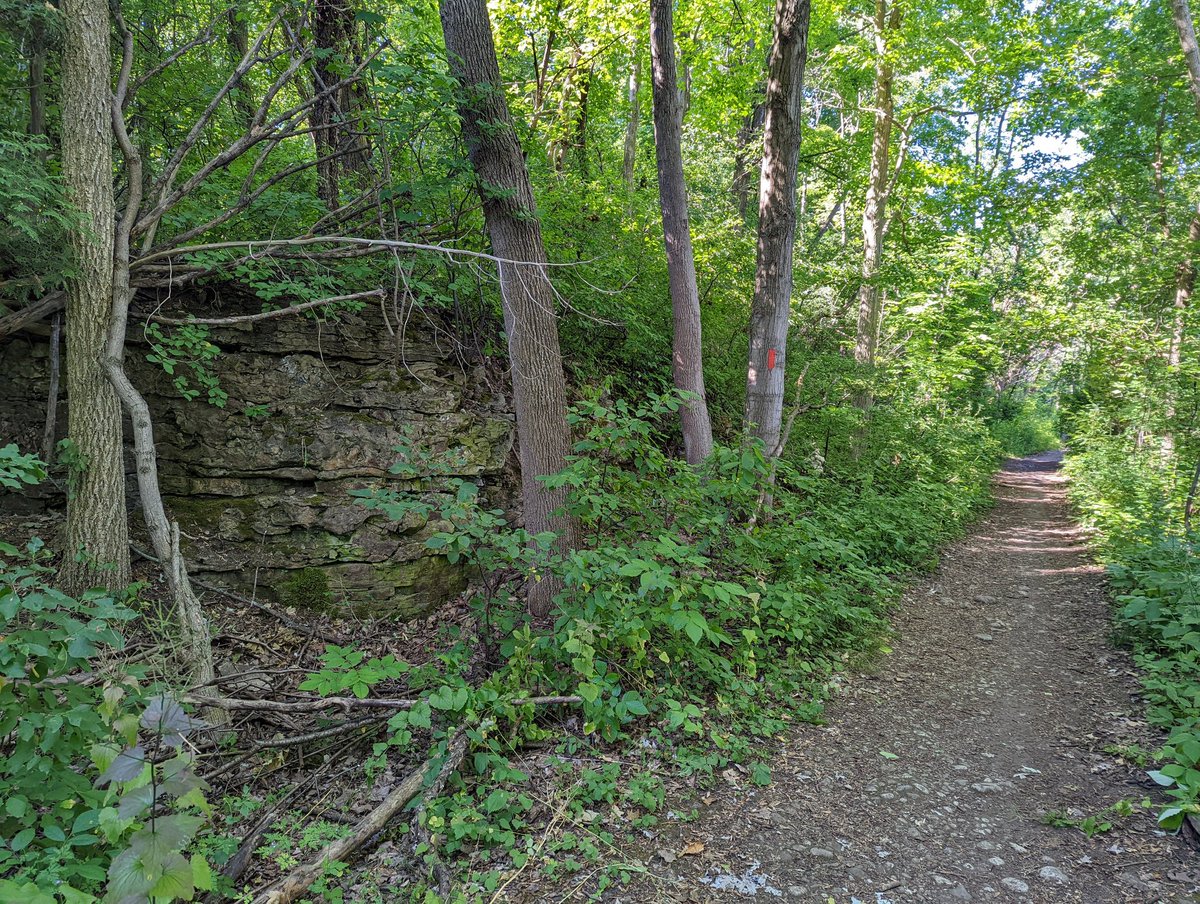
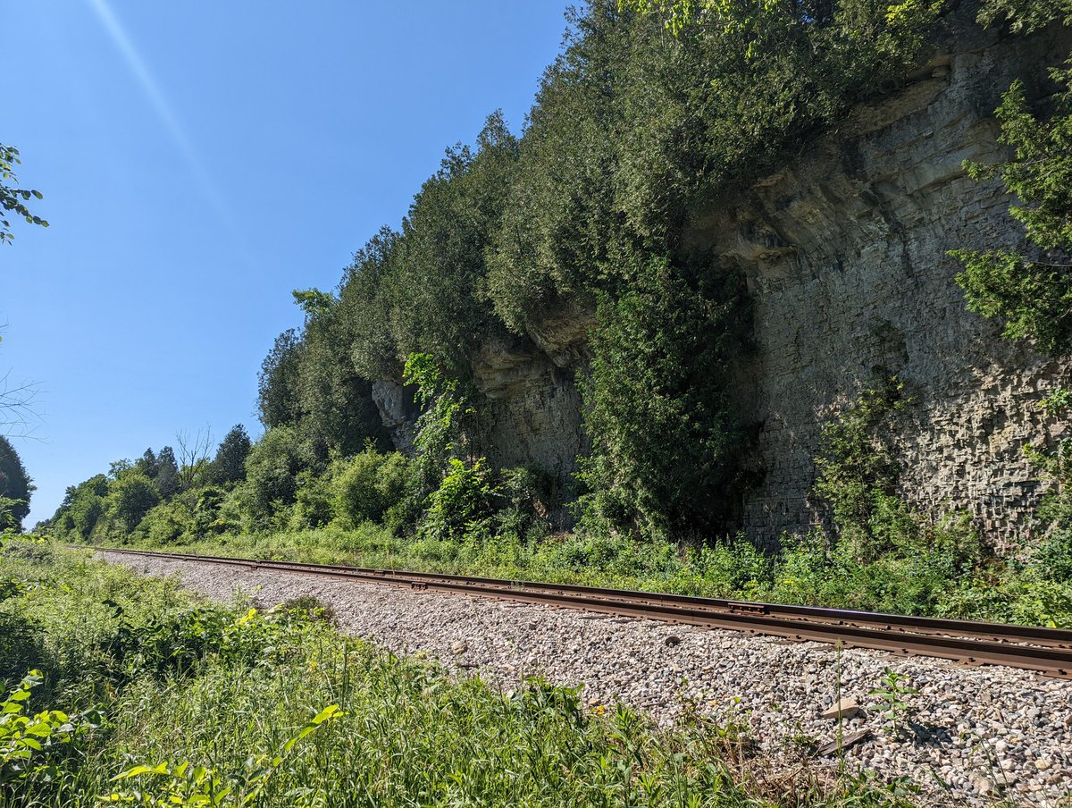
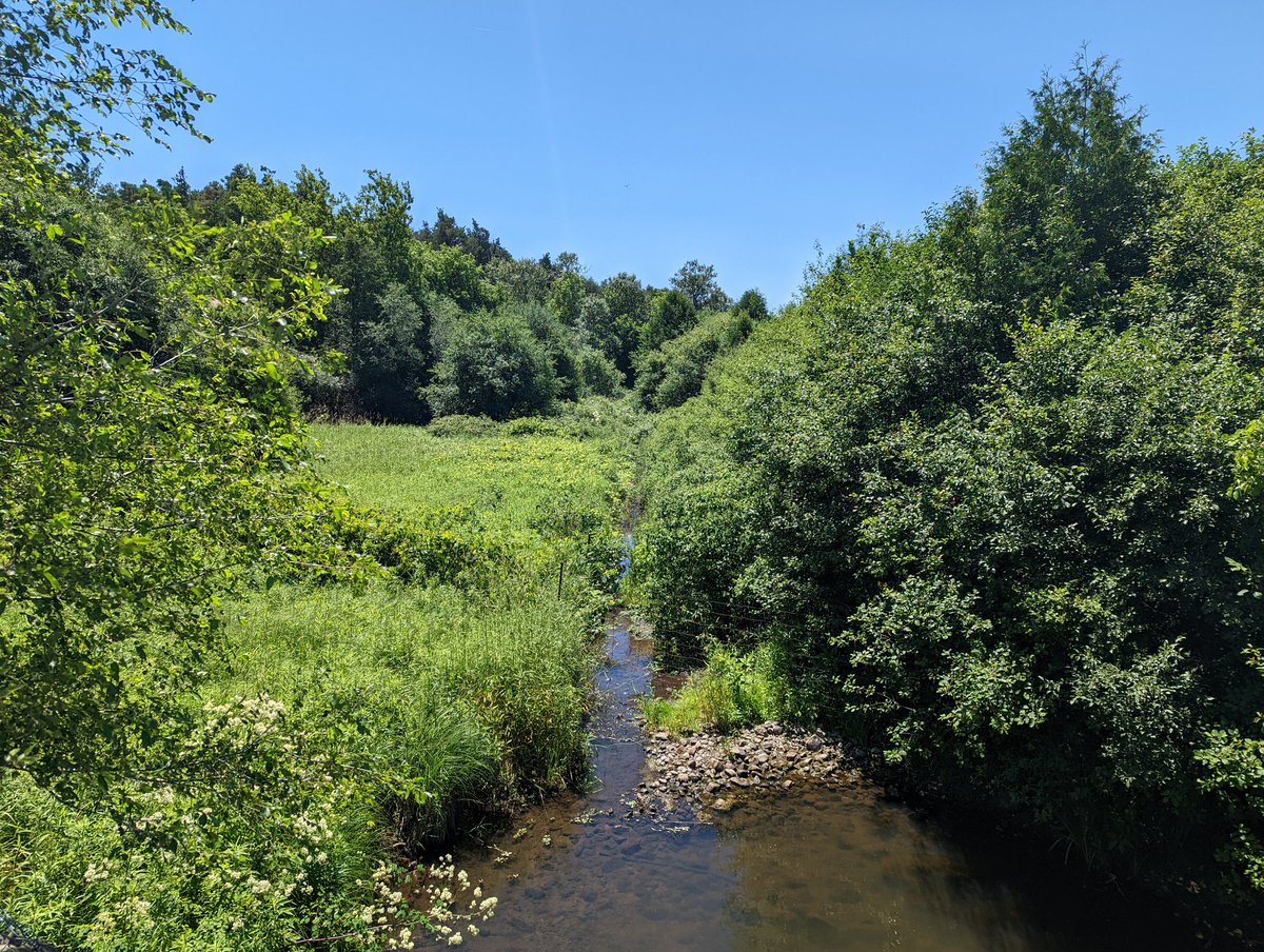
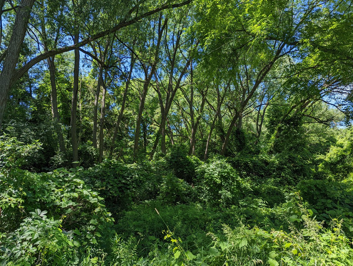
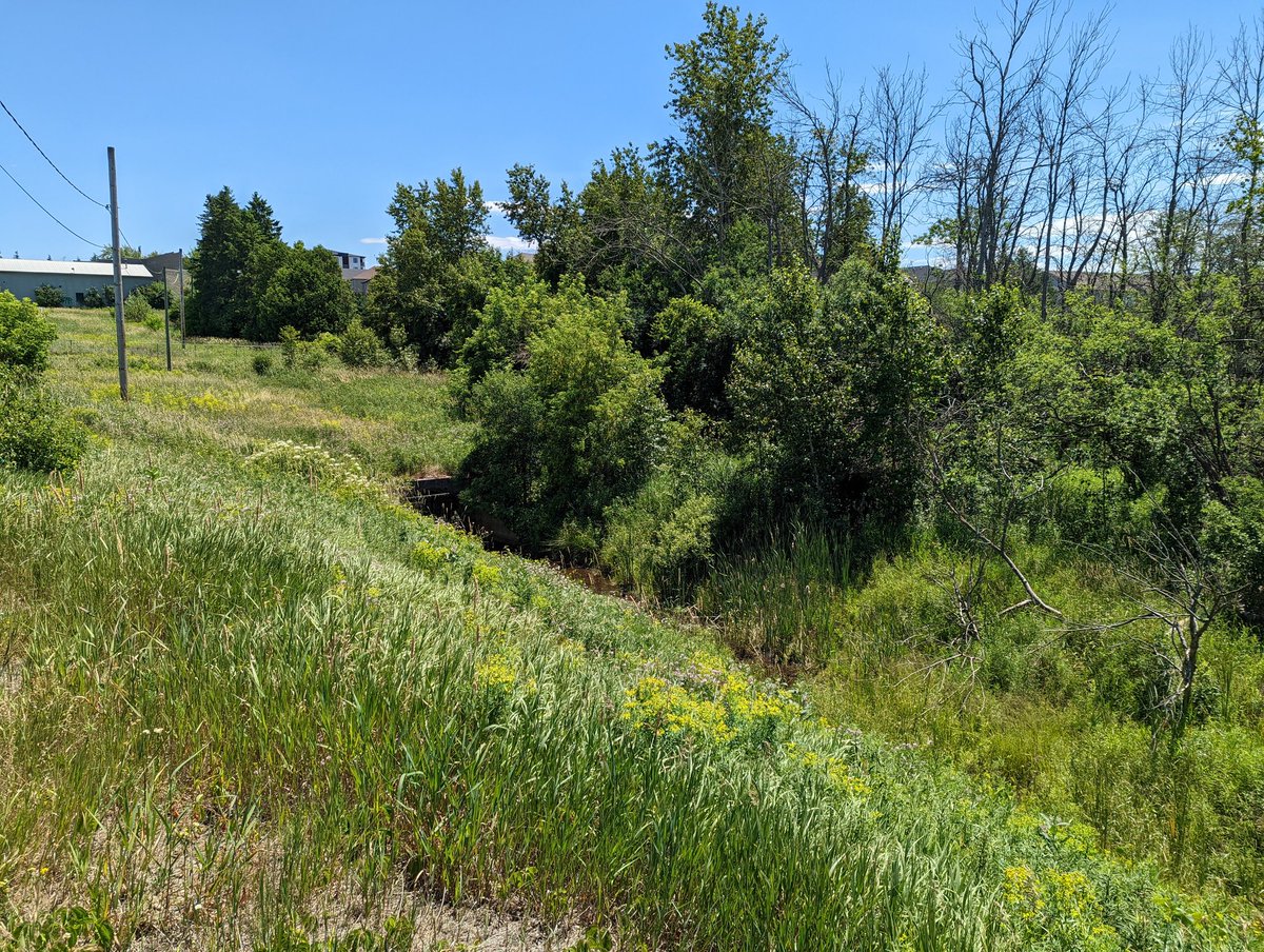
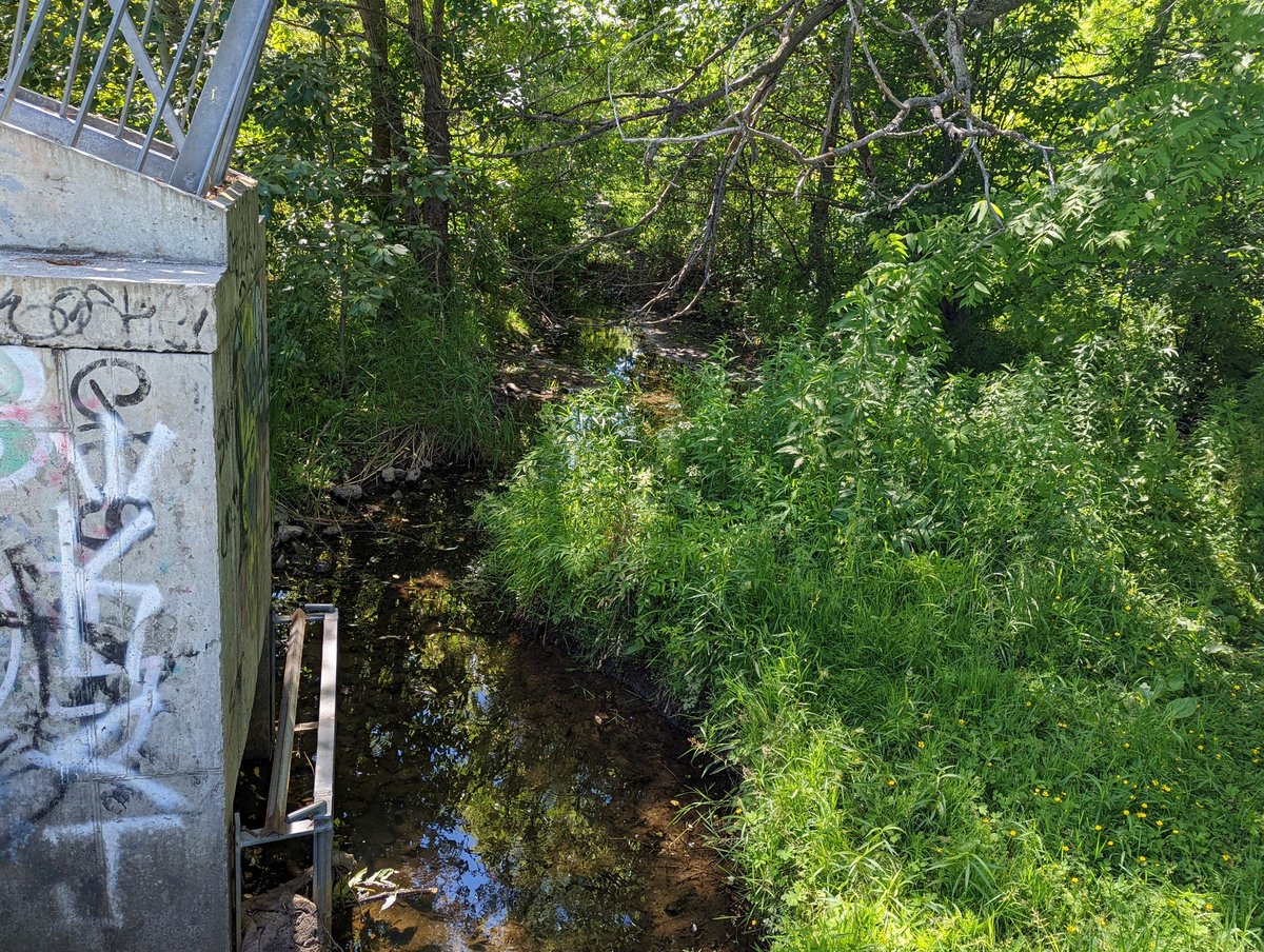
The outcrop lasts a bit past Victoria Road, and then diminishes. At this point, the Eramosa meets the Guelph Junction Railway’s Goderich Subdivision, and bends south. I took a side trail east of the tracks and it’s tight and heavily vegetated.


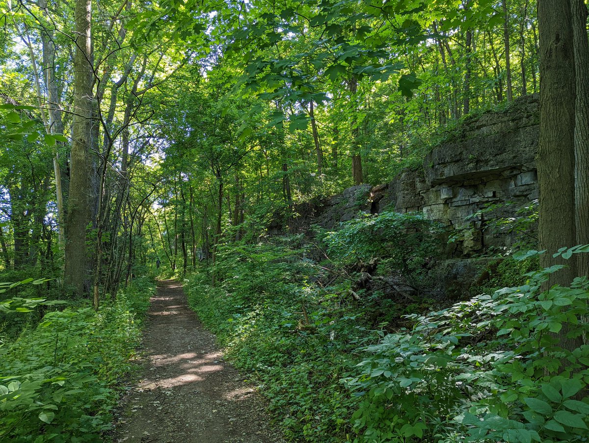
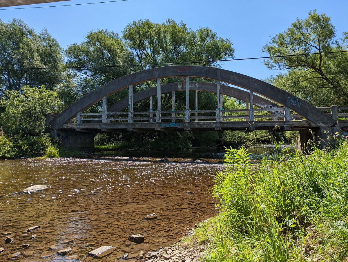
I stand corrected, the rocky outcrop does not diminish, I just walked away from it. A few side trails merge, and a solid dirt path holds. From here it’s a fairly straight shot to Stone Road, and a historical bridge I’m used to seeing over Etobicoke Creek or the Don River.
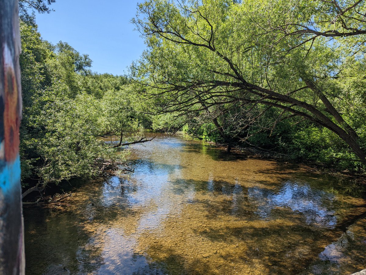
So I had the opportunity to confirm something I wasn’t sure of: there’s no public access to the Eramosa riverbank south of Stone Road. Scouts Canada takes up the west bank, houses on the east. Ah well. Turning back to go up the east / north bank.


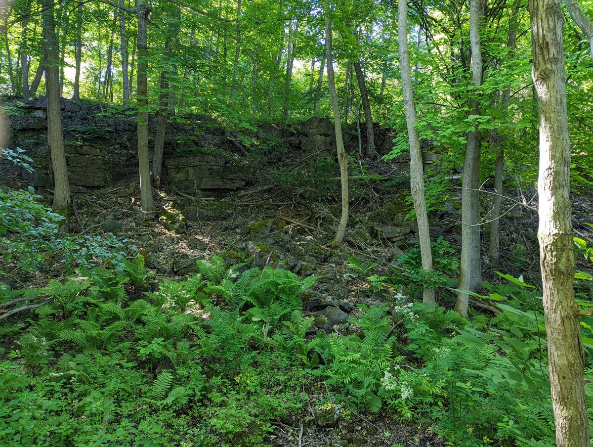
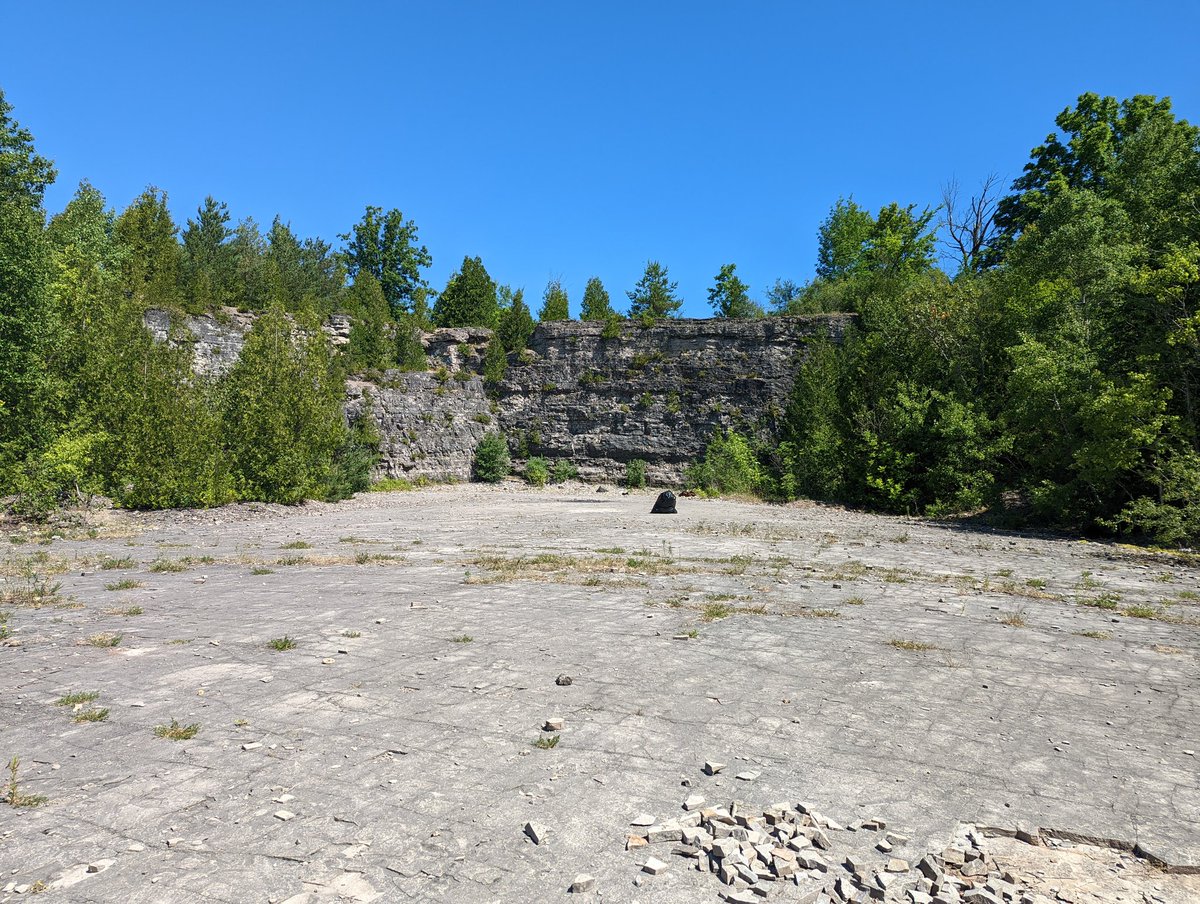
The trail starts by passing…an old quarry? Then an upward climb to the tabletop for awesome views over the river. There’s a sketchy old bridge over the water, would not recommend as the deck appears deteriorated.
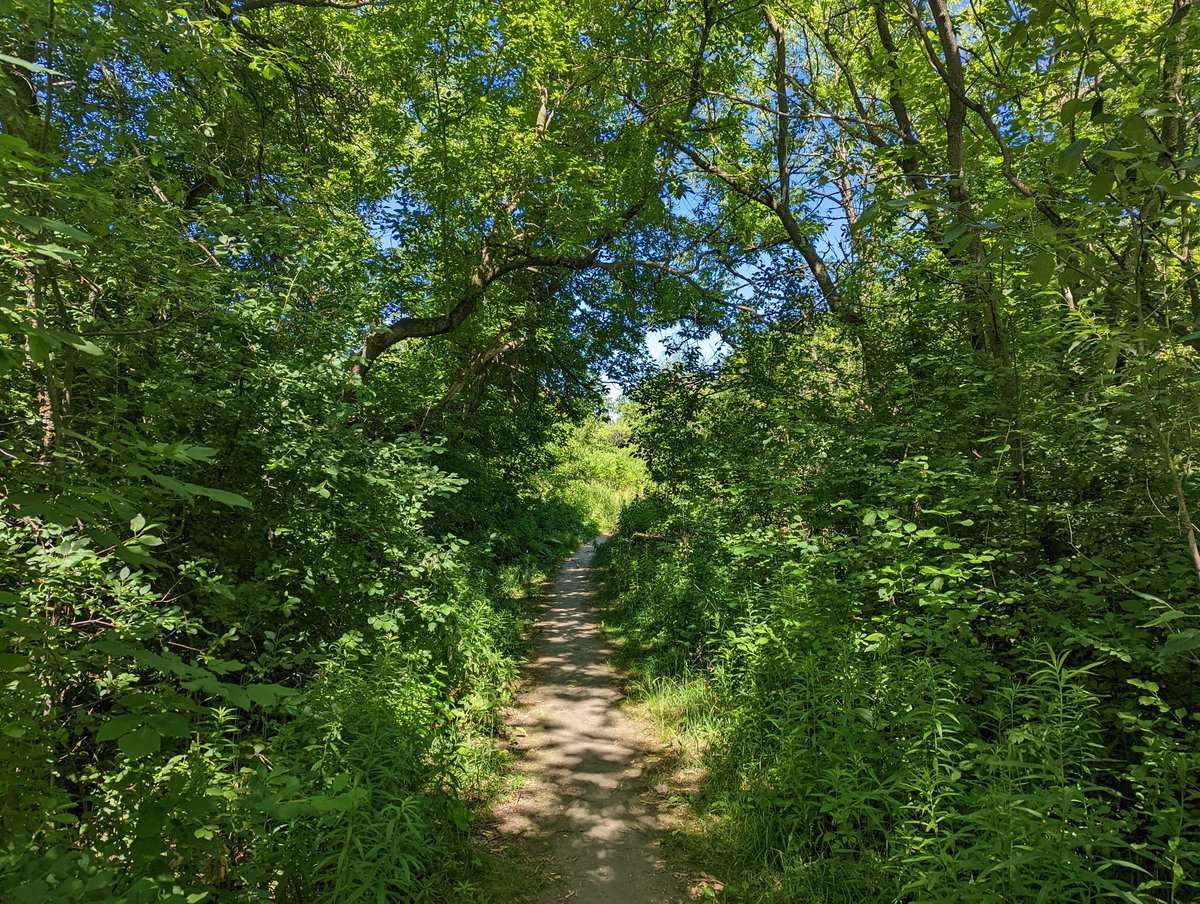

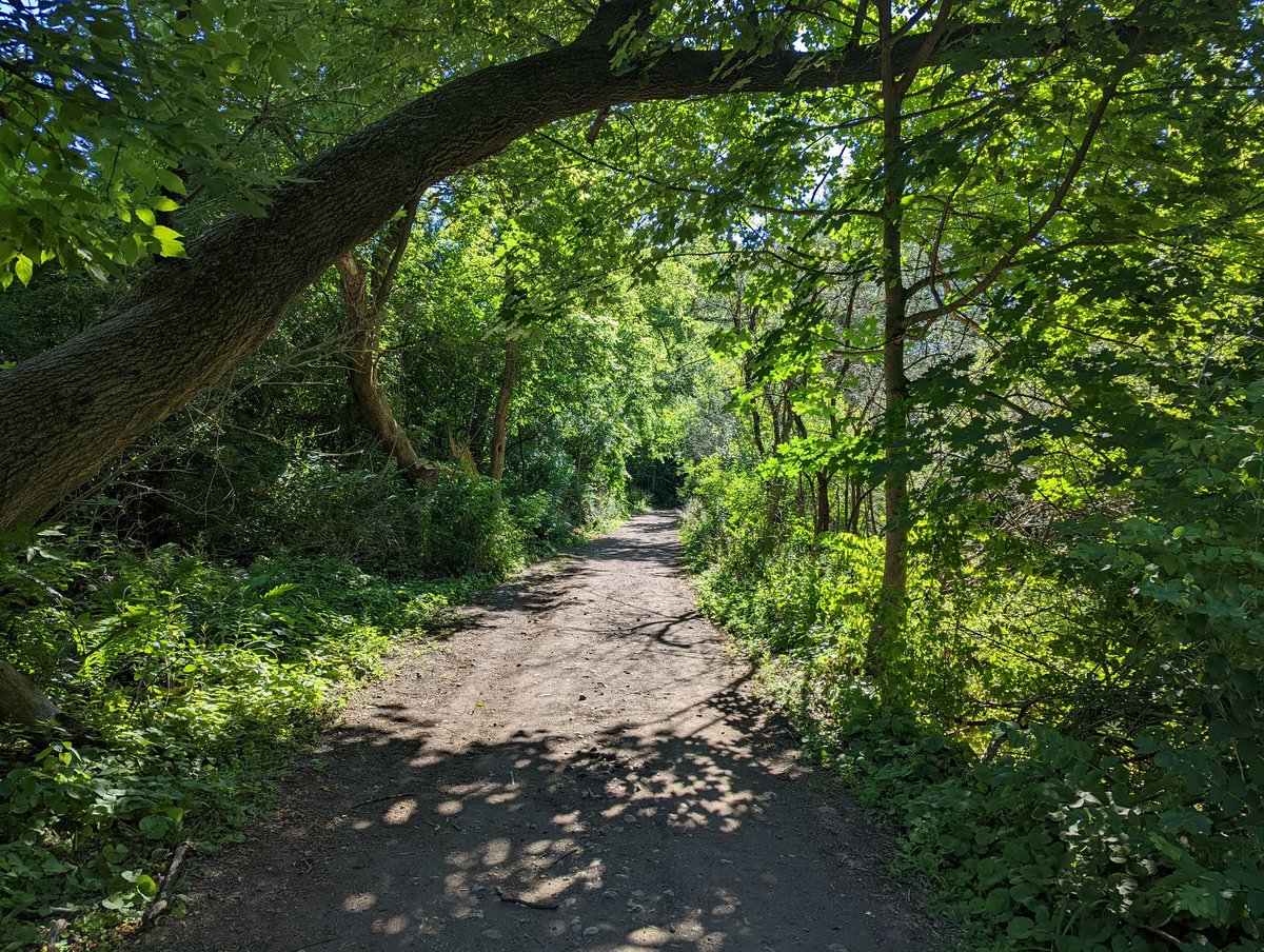
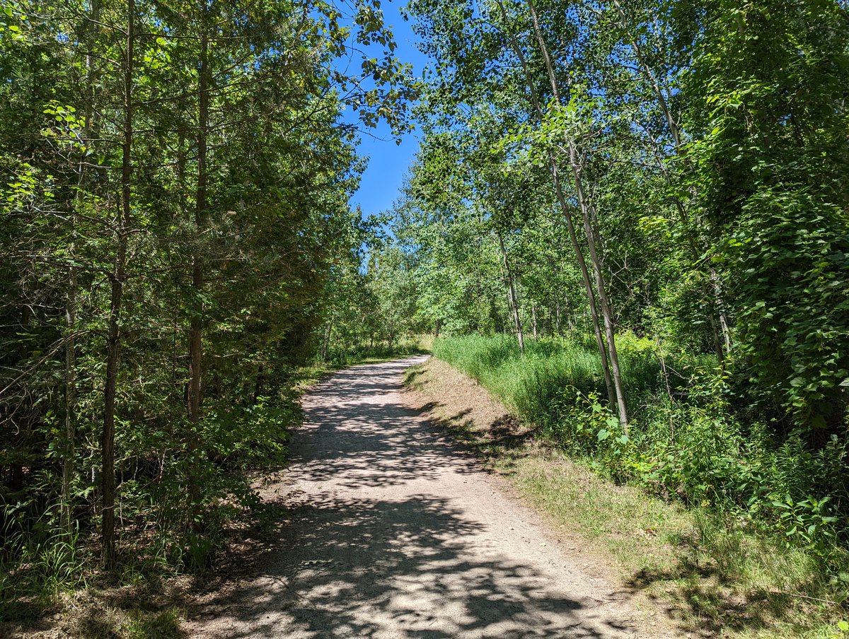
The trail skirts past an industrial plant and climbs back down to the river. It’s a good stonedust surface with some steps and culverts. The forest provides good shade as the trail meanders right to the bank and back.


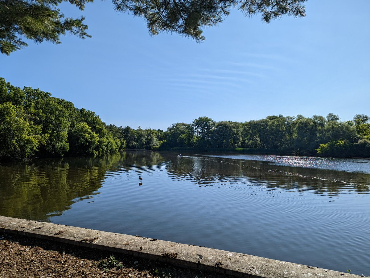
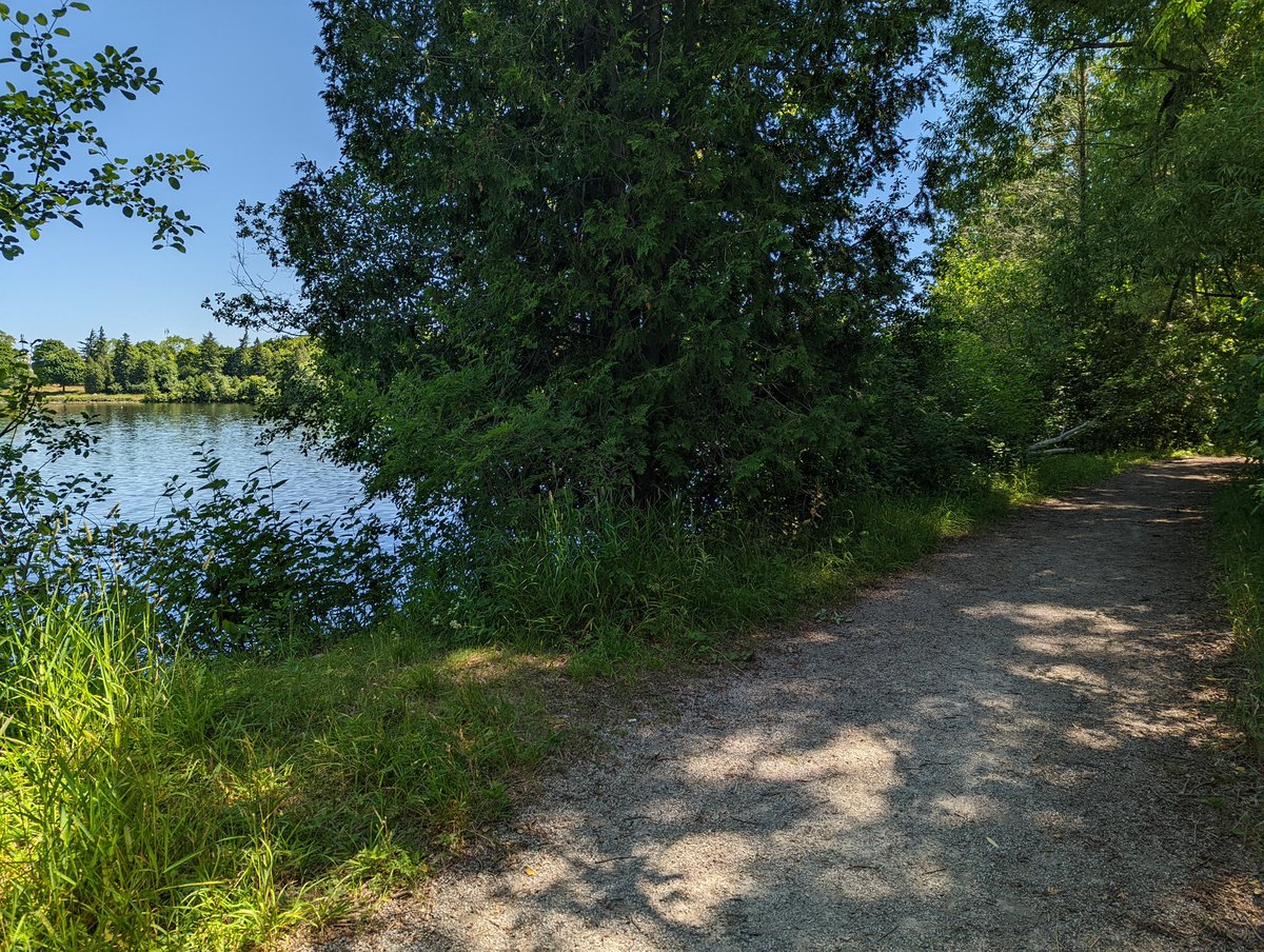
Keep following the Eramosa downstream and you get to one of Guelph’s crown gems: the former penitentiary. The story goes that it was a “working jail”, and prisoners dug out ponds and made these gardens. It’s beautiful, and hopefully will remain so as the lands go up for sale.


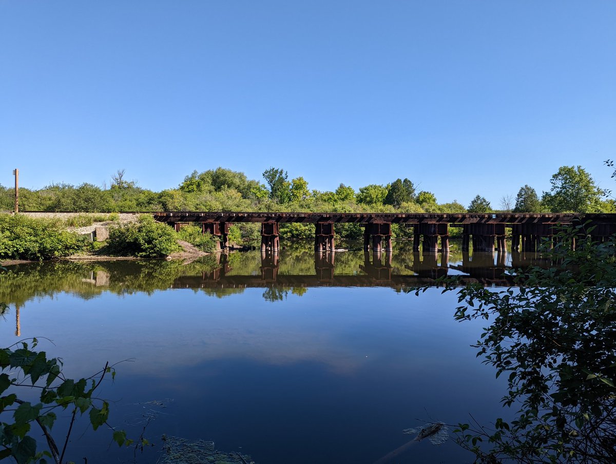
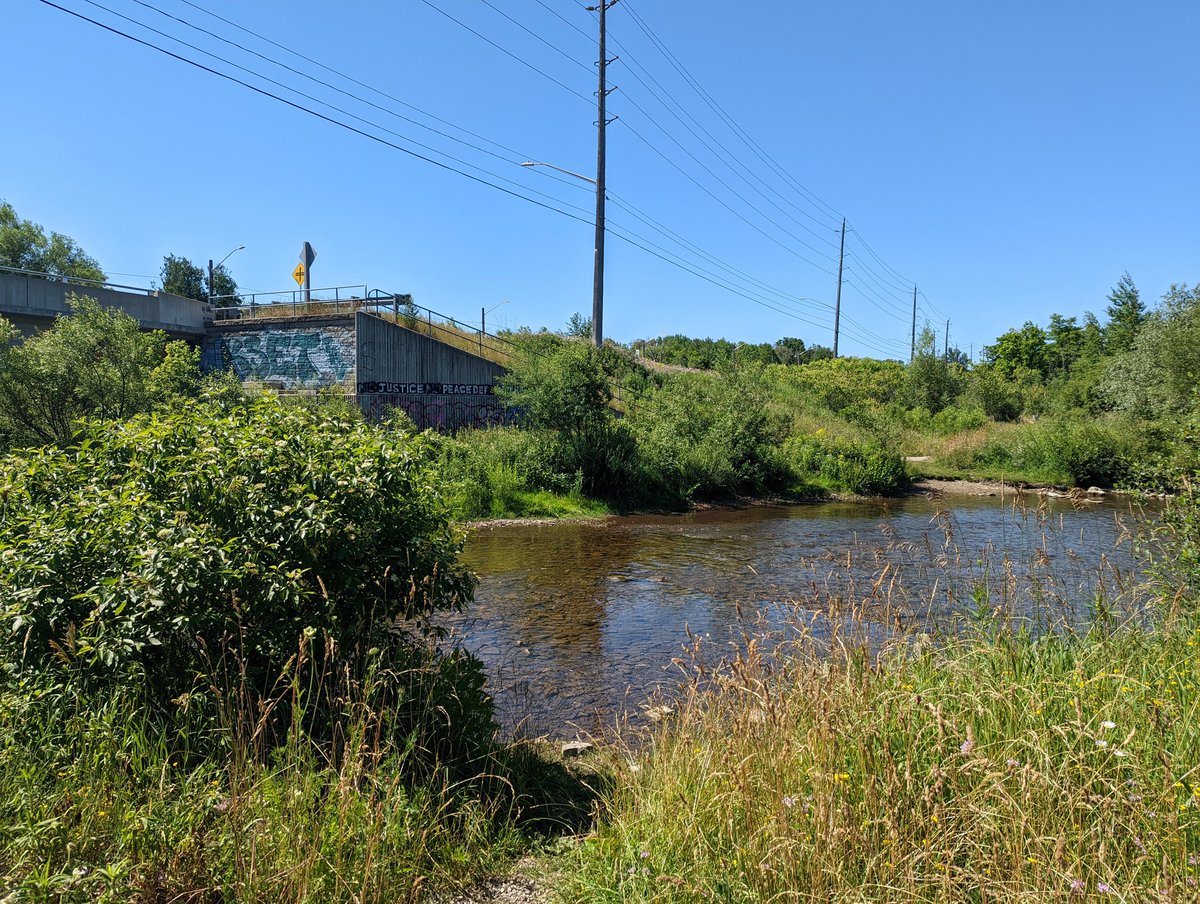
So that’s the end of following the Eramosa. Now onto Clythe Creek, whose confluence is just upstream of the rail bridge seen earlier. It goes north to York Road / Highway 7, where Hadati Creek splits off. We’ll come back to that trib later, and follow Clythe east.


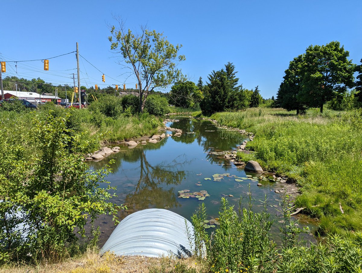
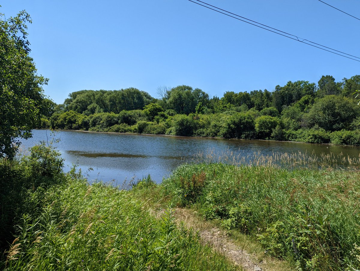
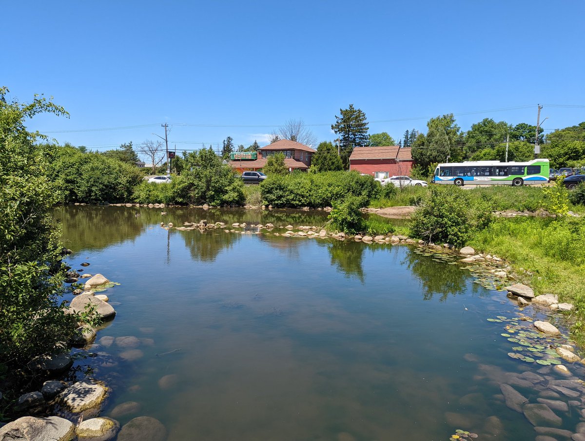
Clythe parallels the road with style bobbing and weaving down small landscaped dams. After passing the outlet for the two large ponds, it works it’s way up and goes under the road.


After passing north of the tracks, there’s no following Clythe closely, the land is undeveloped with no trail. You get a brief glimpse of it at Watson Road, and that’s it as it continues east across the city border.


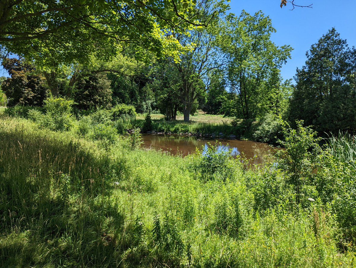
With Clythe heading out of town, you can make a convenient connection to one of its tributaries, Watson Creek. After passing some wetlands, a trail leads you to some great tree canopy alongside it. It’s been dry lately, and it’s a small headwater stream, so it’s only a trickle.


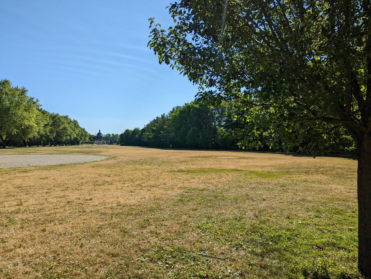
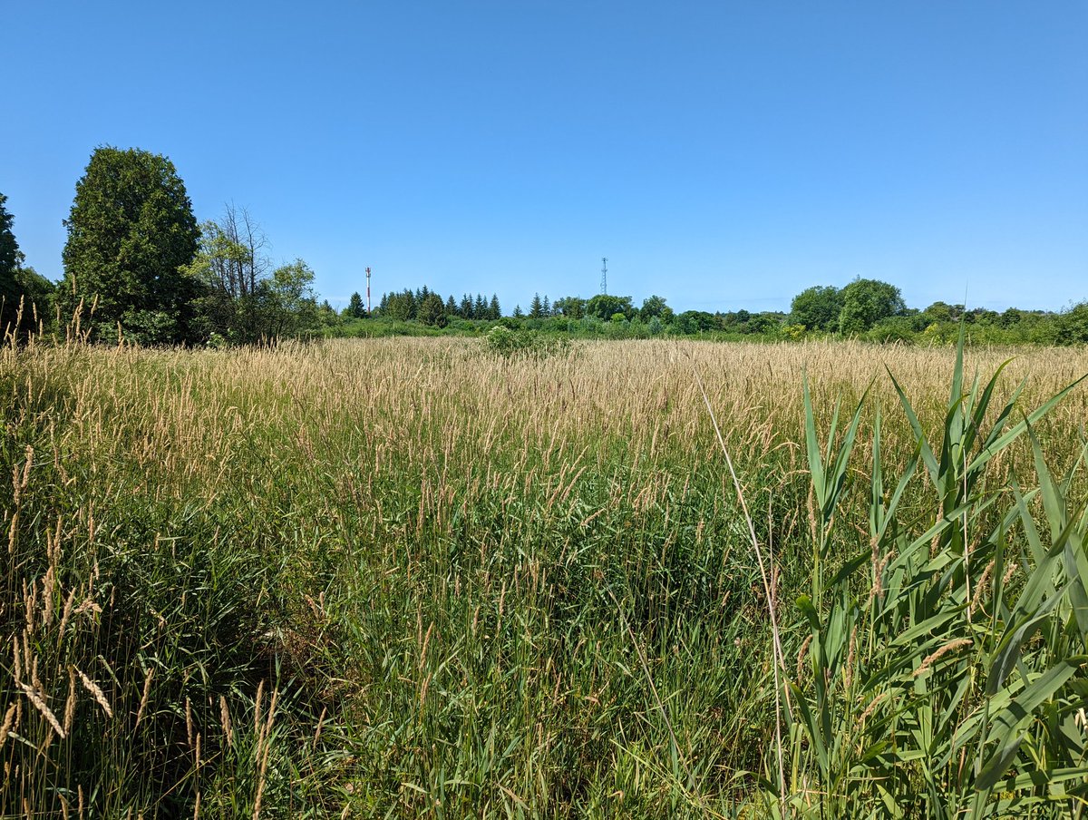
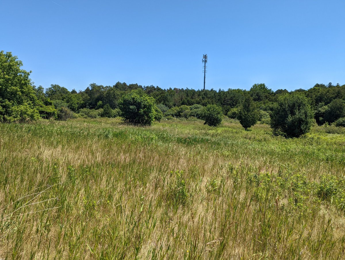
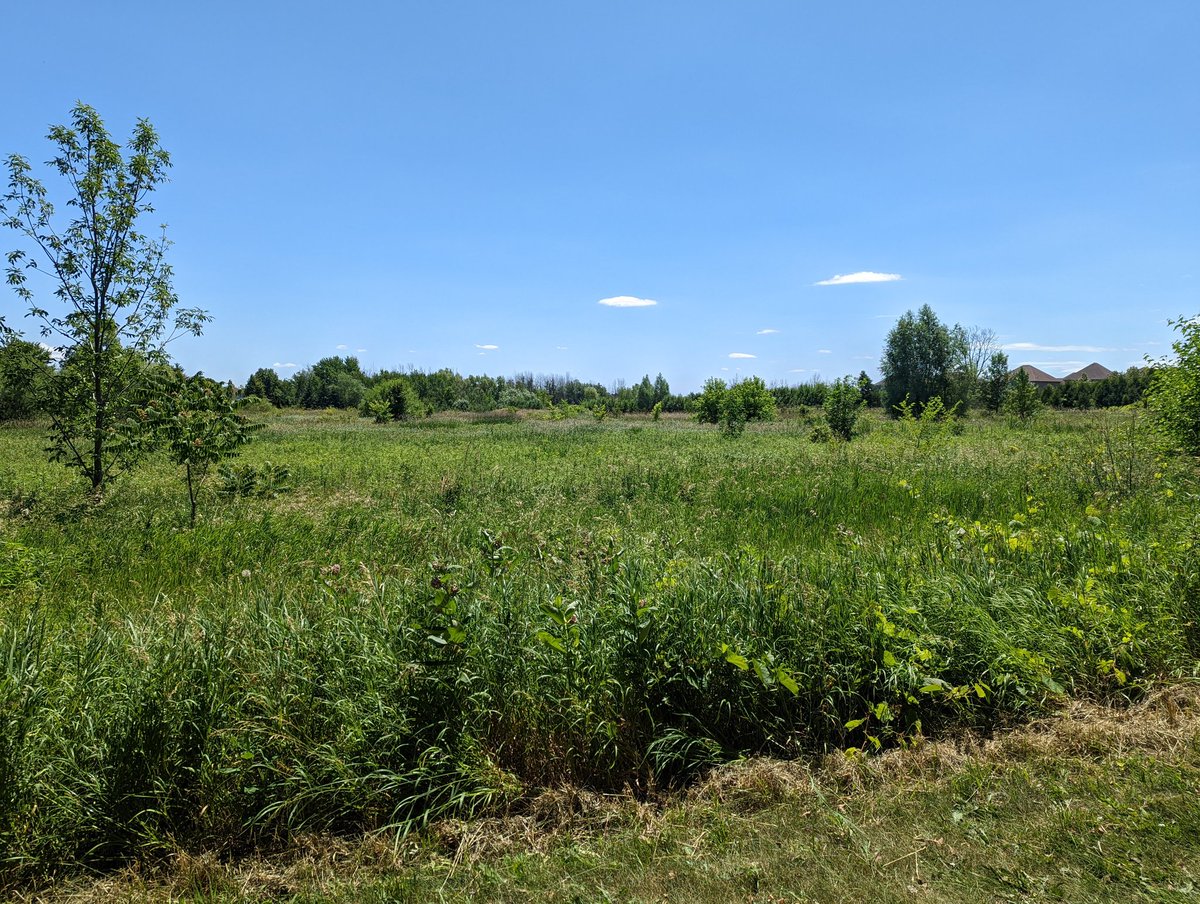
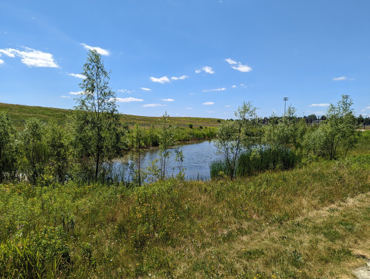
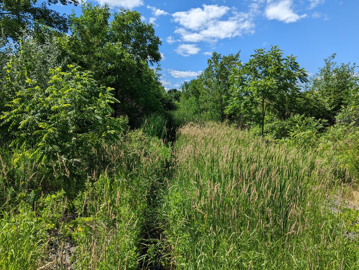
Watson Creek’s source is a couple stormwater management ponds and a wetland in Grange Road Park. Not much else to see riverine wise, but some great trails and meadows here.
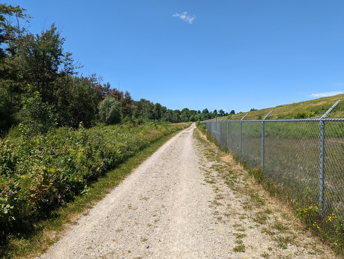
Next up is the second and last tributary, Hadati Creek. This one’s interesting, the headwaters are two drainage channels around an old landfill closed in 2003. No public access on it, there’s still methane here. But the west channel is north of Eastview Road, and is piped a bit.


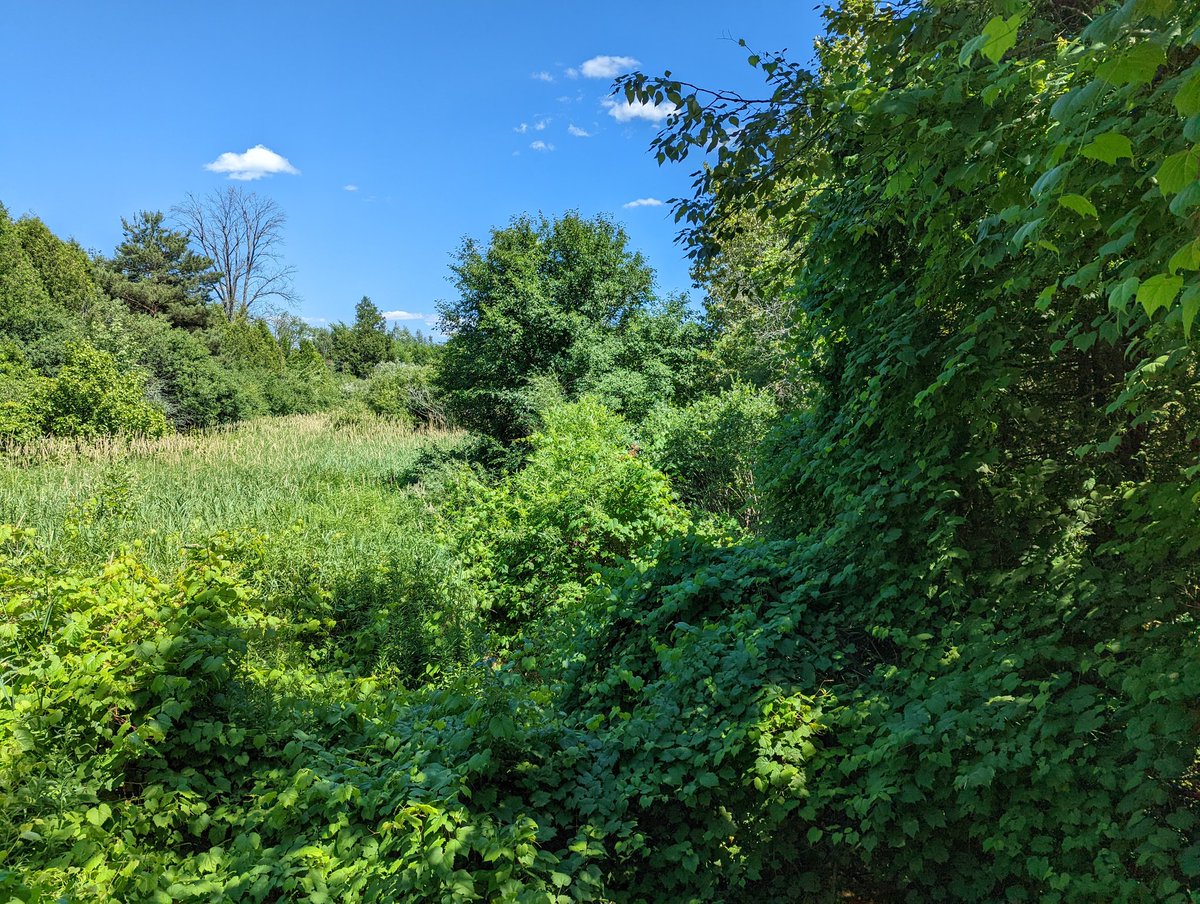
Long straight along the west side, then a bit of horizontal and vertical meander along the north. The wetlands normally feeding the channel are bone dry today.


Around the perimeter and onto the east channel. The wetlands here are low but do appear to be moist with a bit of standing water. It’s difficult to see anything until you back into Grange Road Park, and then there’s a small sign of baseflow. Wetlands at work!


Stonedust trails continue to weave their way around Hadati Creek, albeit with a brief interruption west of Starwood Drive. Periodically checking in on the creek flow, it’s still trickling on.


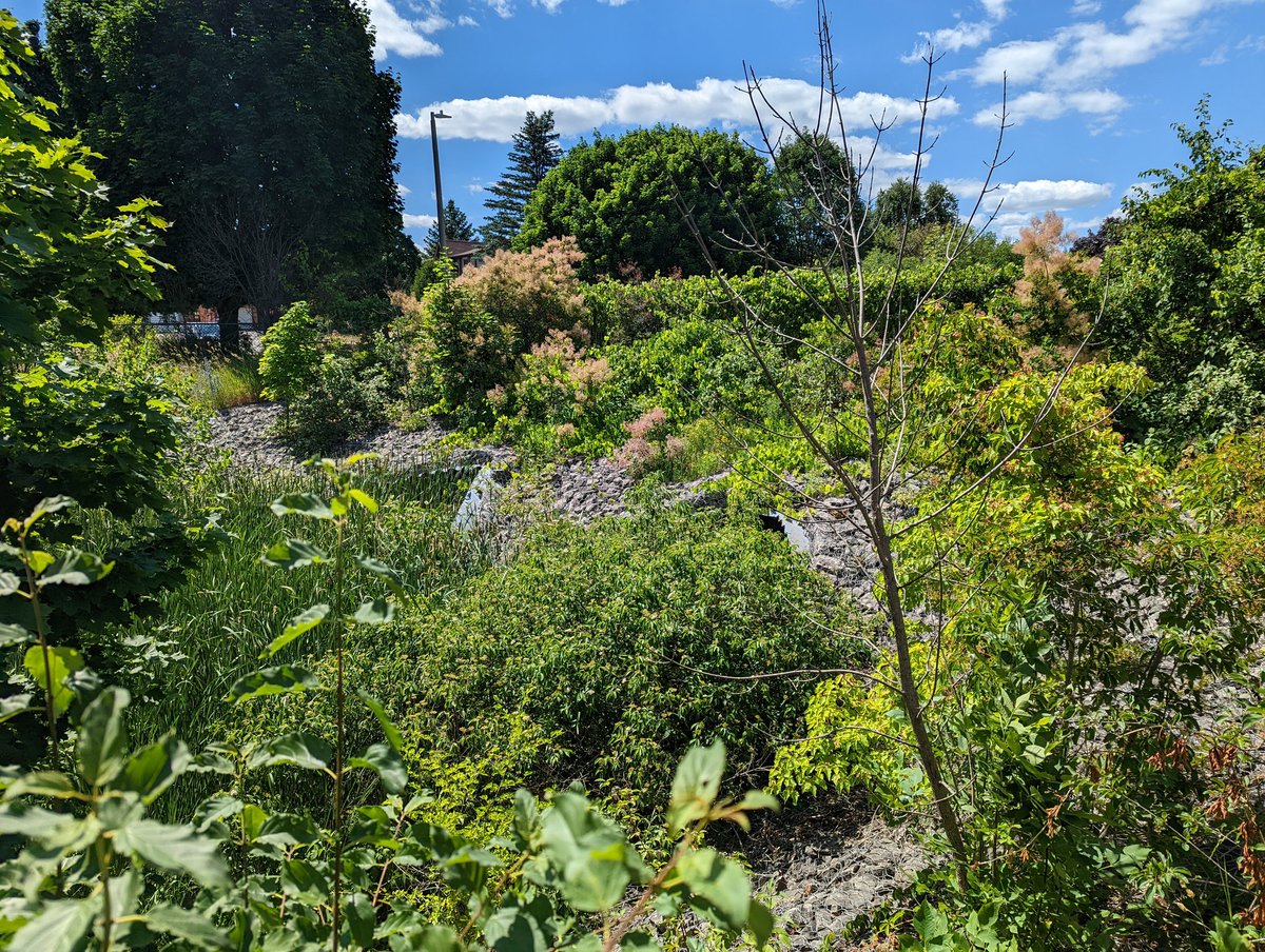
The creek is changing a bit, I suspect it’s a lack of stormwater controls. Large culverts, gabion baskets, and concrete channels. Yet it’s still fairly vegetated. Also no parallel trail south of Grange Road until you get to this crazy inlet at the tracks. Still flowing though.
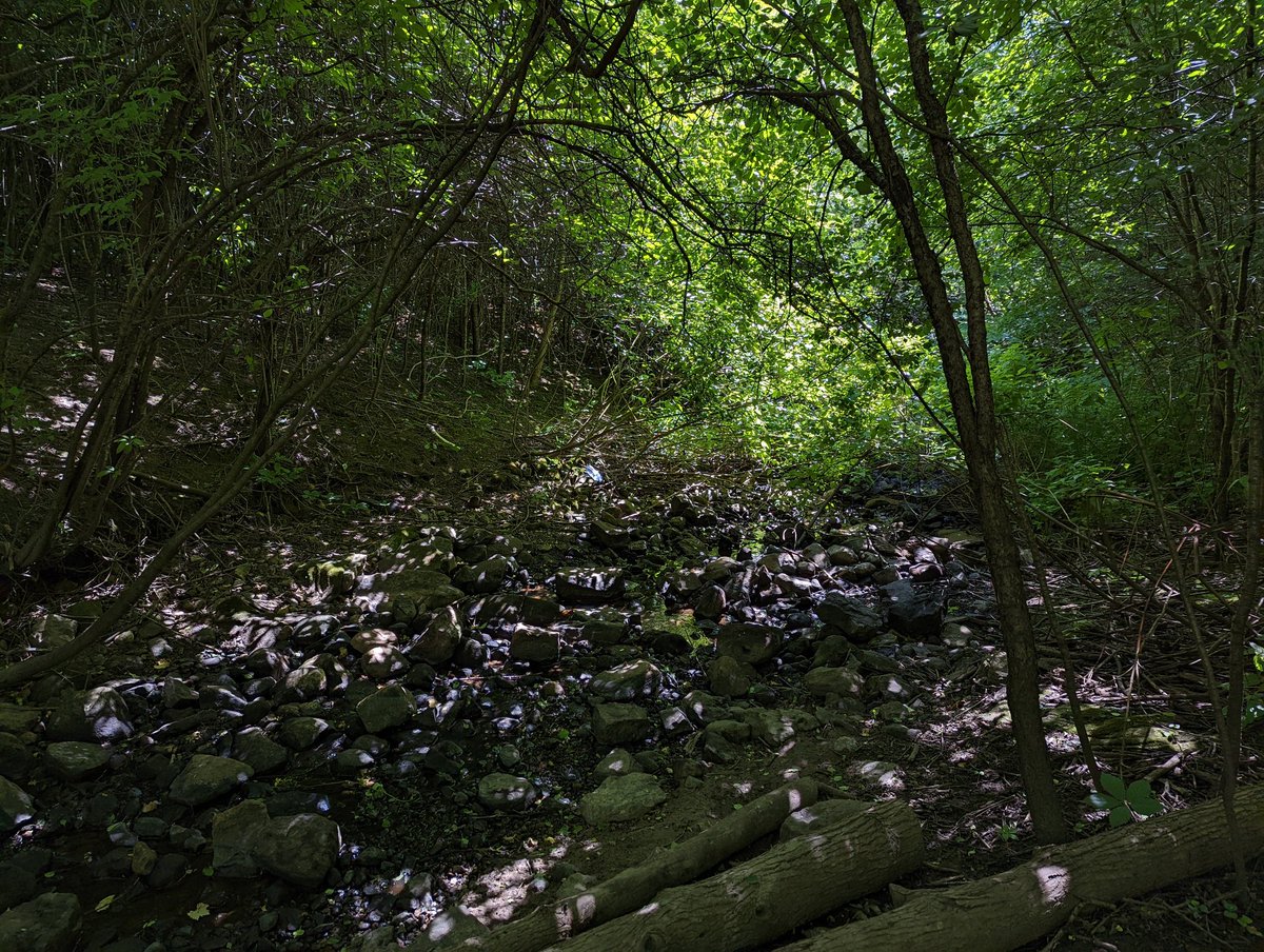
Had to take a detour around the GO Kitchener line, but found Hadati on the other side. Then, a big surprise: the escarpment-like bedrock makes a reappearance. The creek squeezes past a building, and goes into a ditch south of Elizabeth Street with more of the bedrock to show.


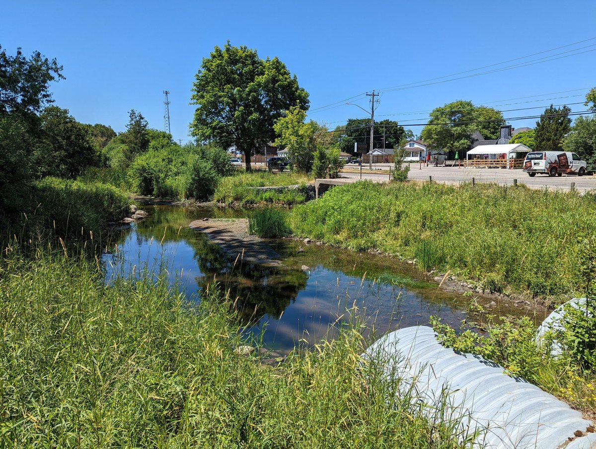
Hadati continues southeast in the rocky boxy ditch to York Road / Highway 7. Then it flows into Clythe Creek again at the Guelph Penitentiary. That ends today’s walk.


Date: July 3, 2022
Length: 22.4 km
Type: Riverine

Related Walks

Speed River upstream / downstream of confluence
Speed (Guelph)
Speed River upstream / downstream of confluence (again)
Speed River II


Railway in parallel
Junction Railway


