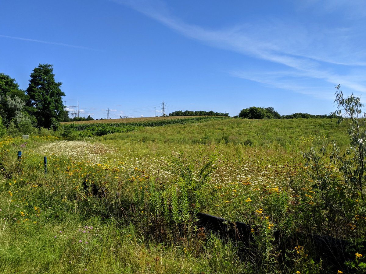
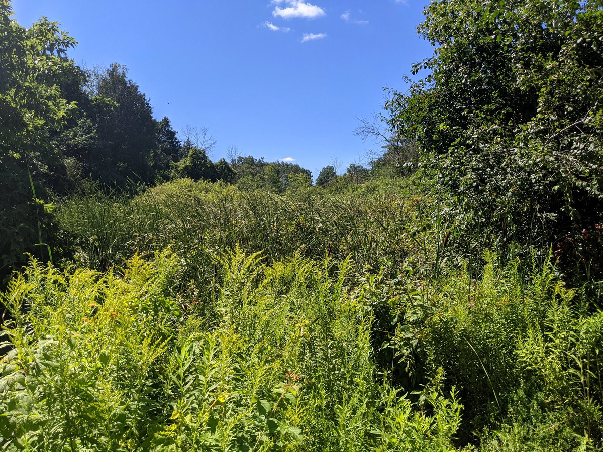
Good morning from Kitchener’s Hidden Valley. Today I will be taking a meandering hike to find some of the Grand River’s smaller tributaries. The first is a creek that is fed by this large wetland complex. Let’s go.

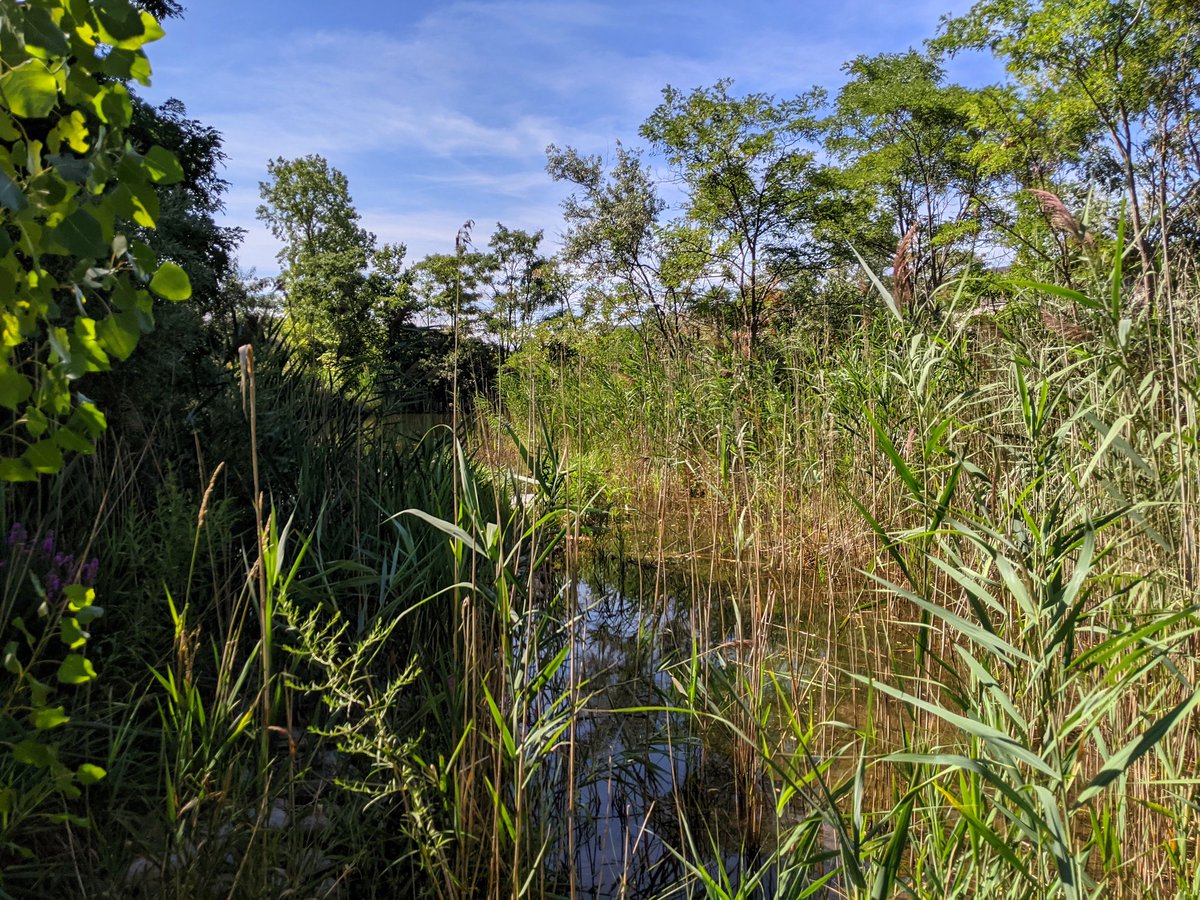
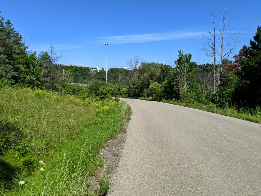
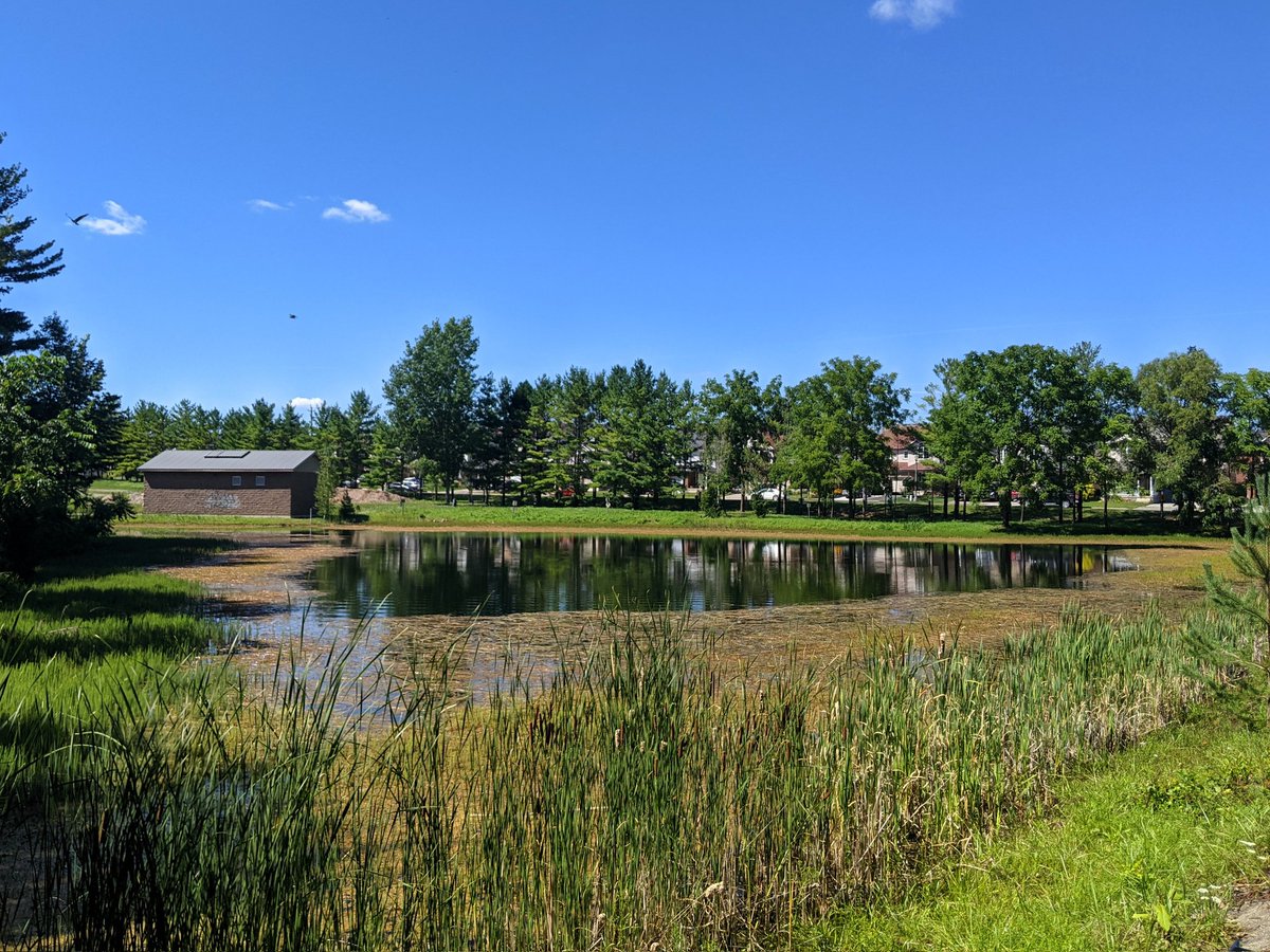
So far, Hidden Valley Creek is living up to its name, as it’s surrounded by private estate lots and agricultural fields with prominent ‘no trespassing’ signs. A glimpse of a tributary and a stormwater pond feeding it, otherwise it’s just seeing the woods from the road.


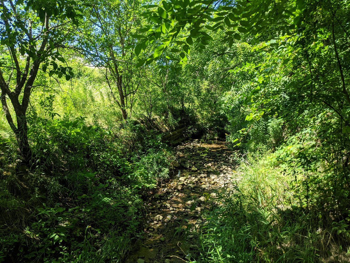
After more signage to make you feel unwelcome in the upscale neighbourhood, my first glimpse of the creek itself, running under a road before dumping into the Grand.


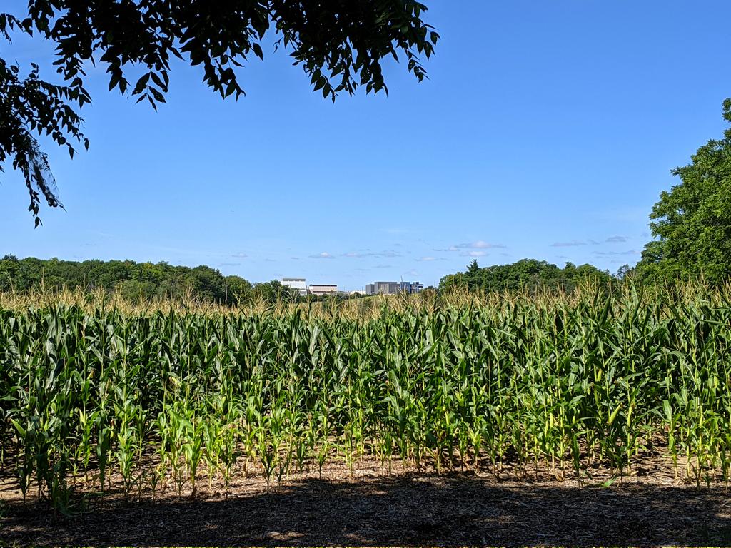
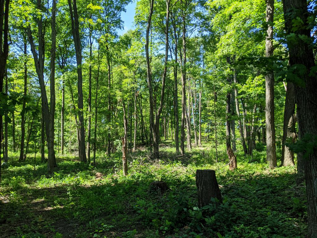
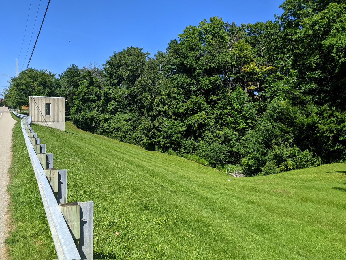
Round the outside until you parallel Highway 8. Some more woods, and then a brief look at the creek where it pops out of a culvert from under the highway. Pretty stagnant, which is expected given this year’s weather, but also because there’s nothing upstream to provide baseflow.

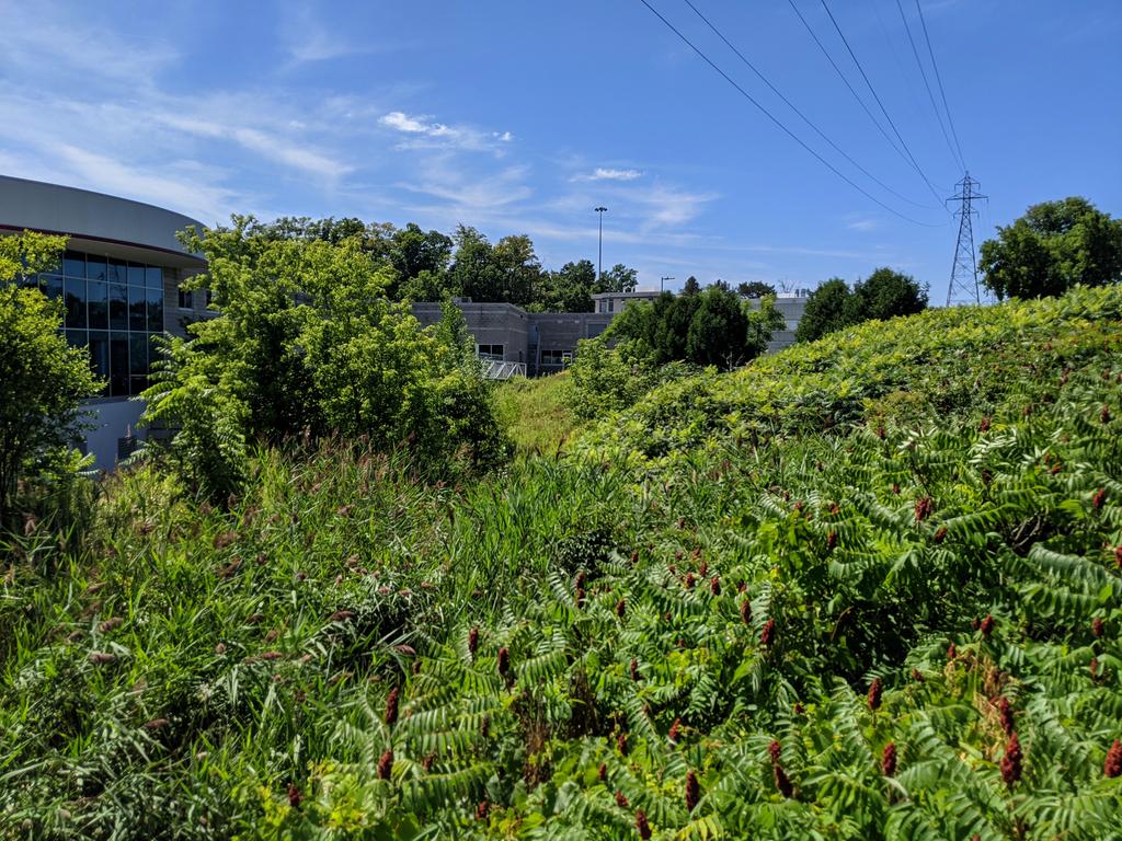
Out of the valley and around the highway. Last glimpse of Hidden Valley Creek is where it cuts through an auto dealership. If there was a creek east of King Street, it was lost many moons ago.


Next up is a possibly unnamed tributary, I’ve seen the name “Stonegate Creek” thrown around. First signs of it are near Morgan Park. It goes for a bit before going into a pipe beside the Canadian Pacific Waterloo Subdivision.


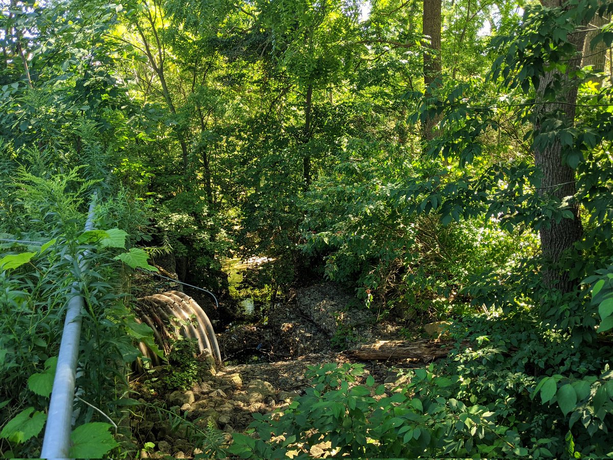
It pops out of the pipe on the west side of King Street, where some overland flow channels dump into a gully. It goes beneath Stonegate Drive before washing over a bed of gabion baskets into the Grand.

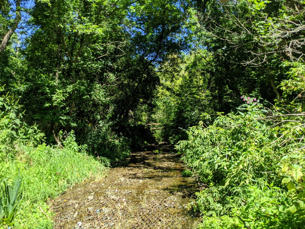

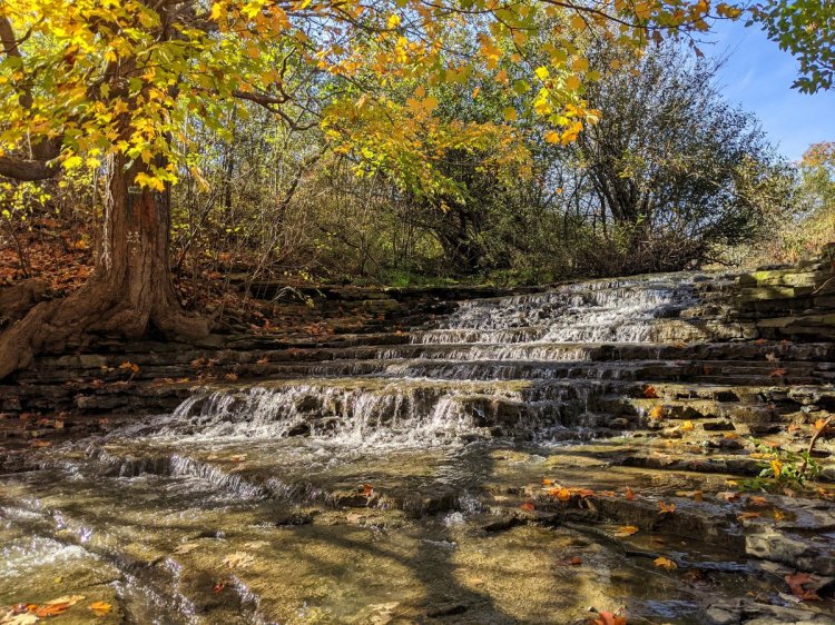
Gotta say, Schneider Park is a sweet spot.

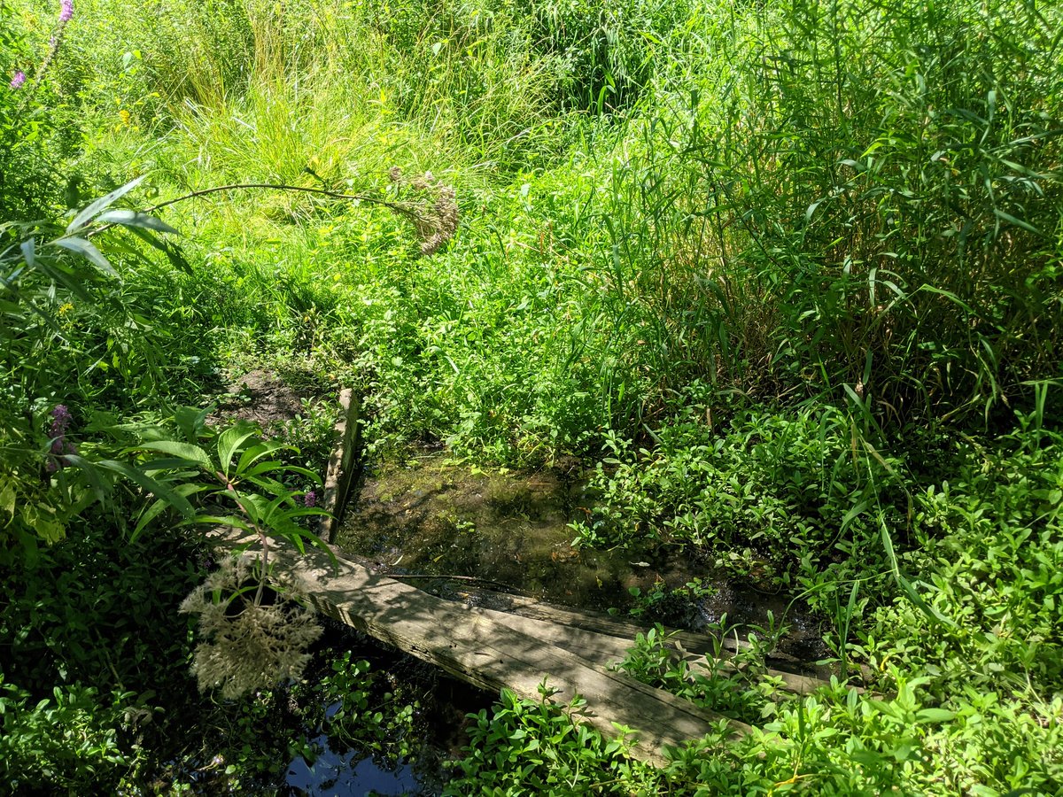
Next up is another unnamed tributary, leading from the Grand, east of King Street, to Chicopee Hill. Not much baseflow to this, appears to be primarily for stormwater runoff. It does collect in a bit of a depression and is shaded well as it turns out of the valley.


Found a way out, and also found a sign of the drain. That’s about it until you go through Morrison Park and to the edge of Chicopee Ski Hill, where there’s a large wetland. That’s all to see, as the ski hill doesn’t allow public access.


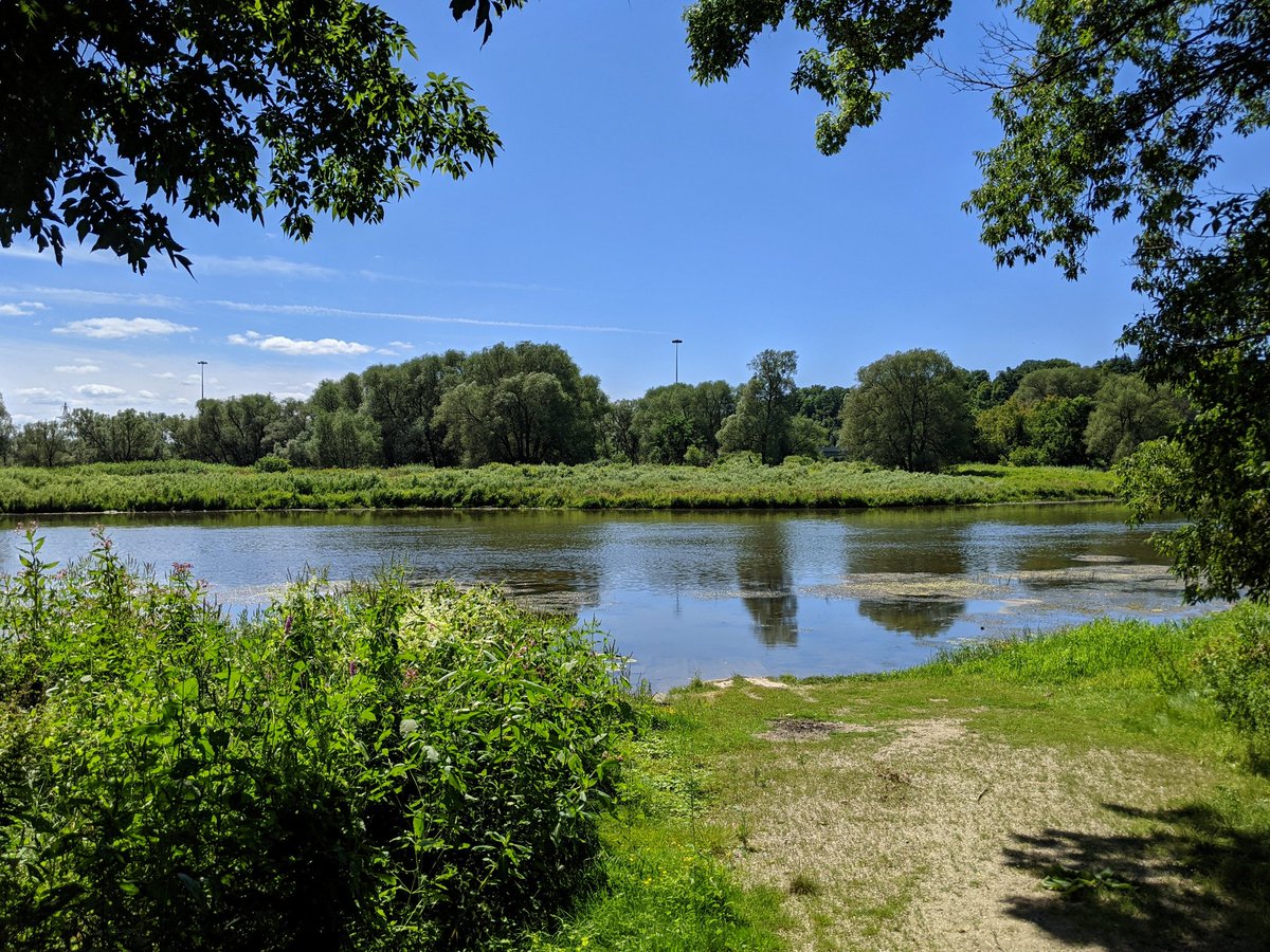
Glimpse of a pond behind the Chicopee Dam, which outlets into a ravine behind some estate lots. That’s going to do it for today.
Date: August 15, 2021
Length: 13.0 km
Type: Riverine