Hey there. Taking a walk to explore some of Hespeler’s hydrology. Starting at the last remnant of a lost river north of Queen Street. Let’s go.

South of Queen Street, the creek was obliterated decades ago. The lay of the land gives you a hint of where the ravine once was. One of these leads to a stormwater management pond near Franklin.

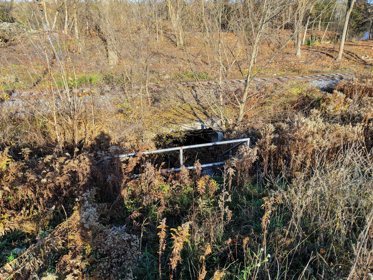
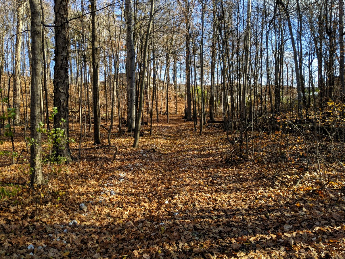
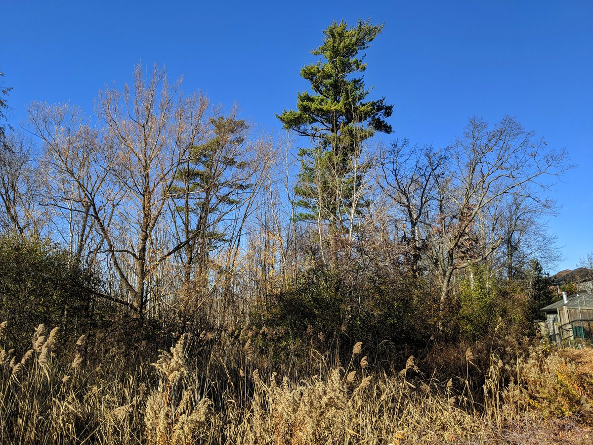
Out back of Bechtel Park is a woodlot that leads into one of the small valley legs again. There is a strange stonedust trail that must double as a berm.

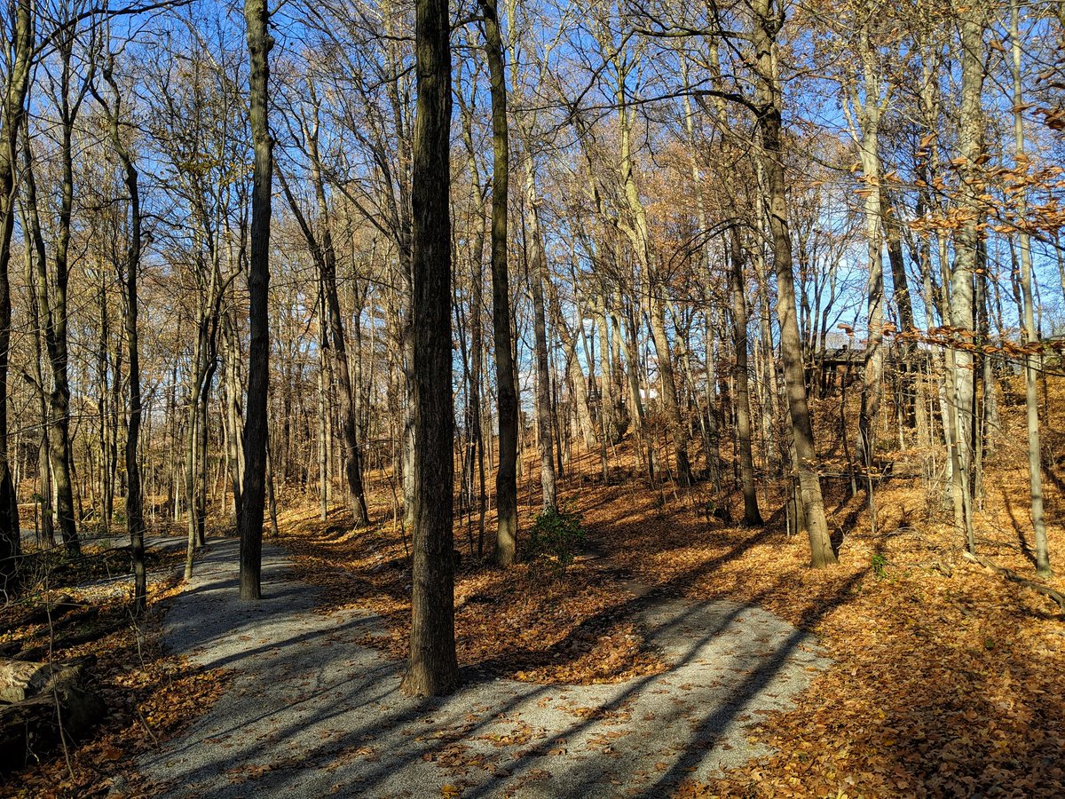

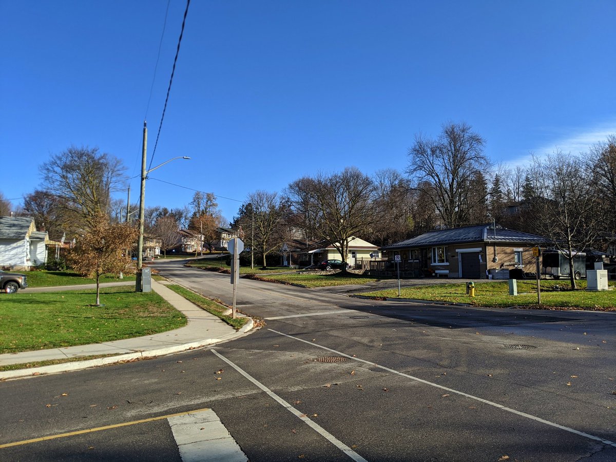
It’s clear it all leads back to Winston Boulevard, around where the main creek used to flow. One more valley leg until I head south over the 401.


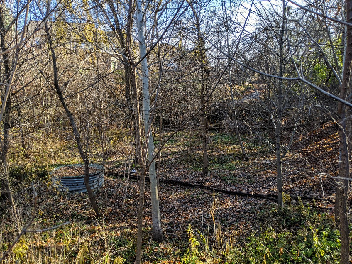
Checking out something I’ve been curious to see since I moved here: the Portuguese Swamp. That’s the name chosen by the province, don’t ask me. There are a few individual pockets, this northern one providing stormwater management for some of the the Lovell Industrial Park.
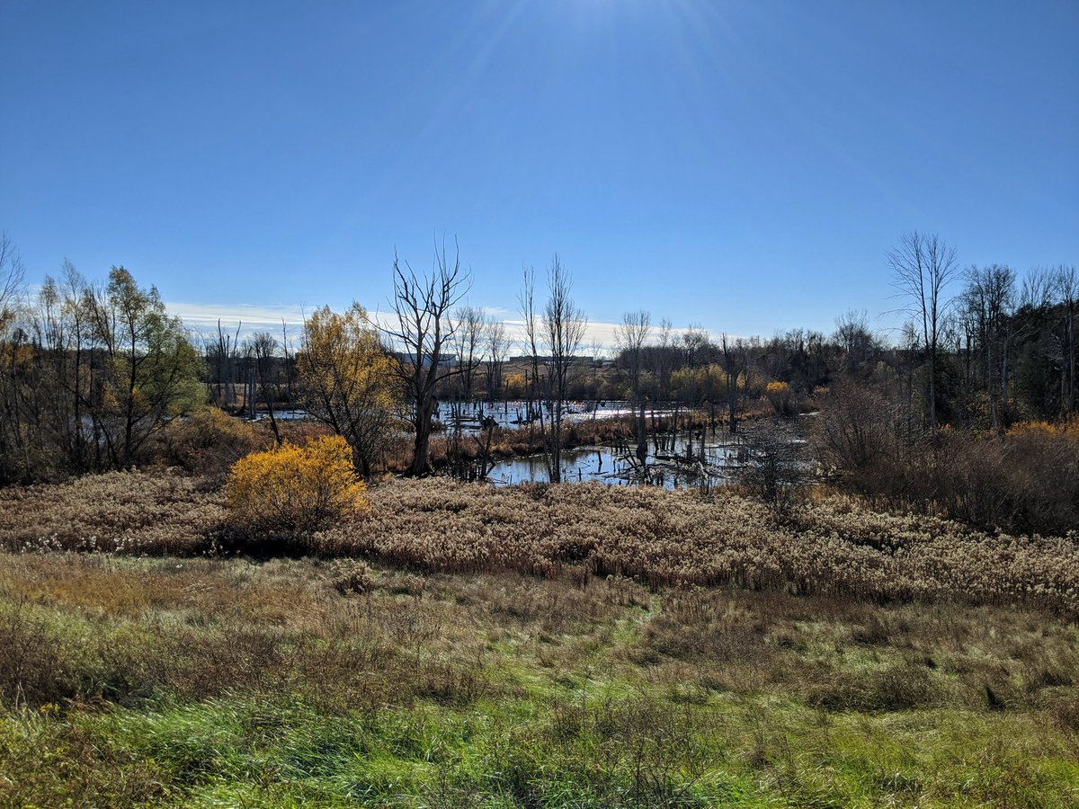


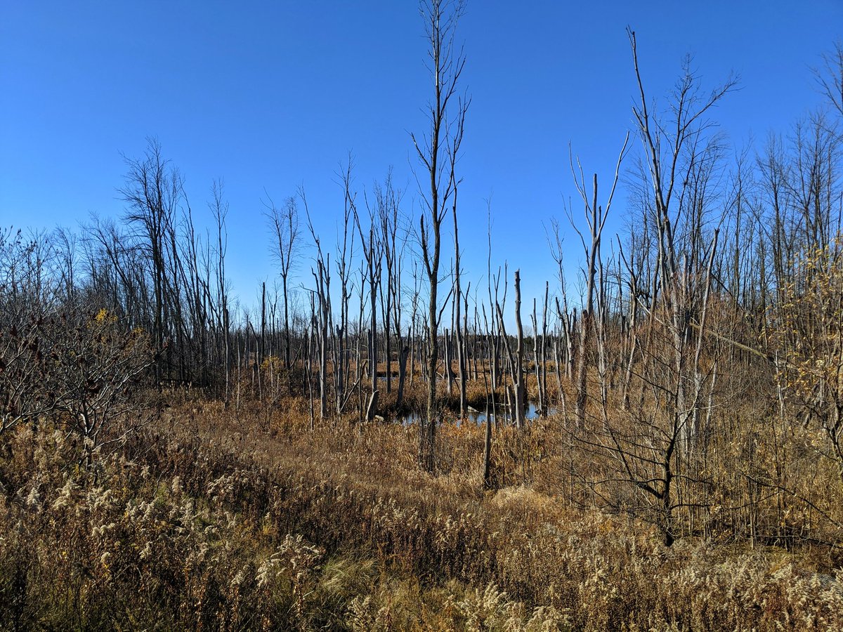
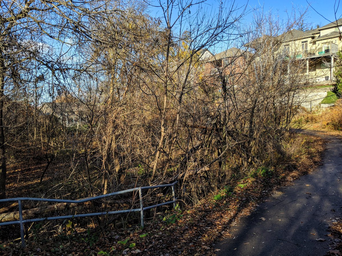
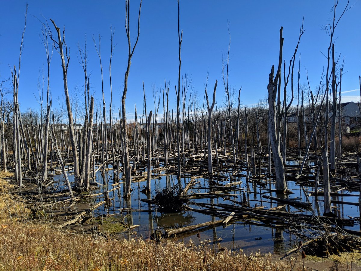
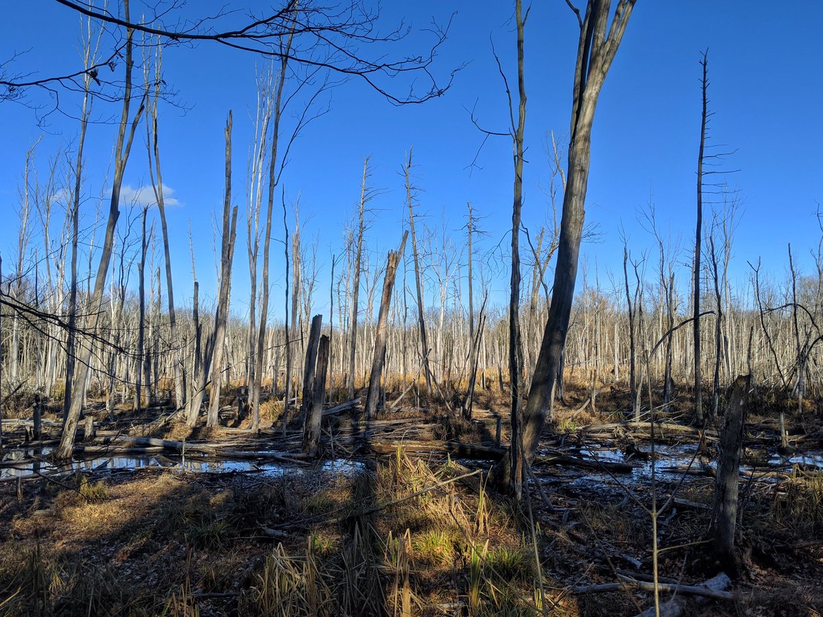
The second pocket is south of Can-Amera Parkway, and unlike the pocket to the north, you can take a trail and walk beside it. Pretty cool to see all the dead trees, it’d be really neat to catch it in the growing season when the top of the water is algae green.


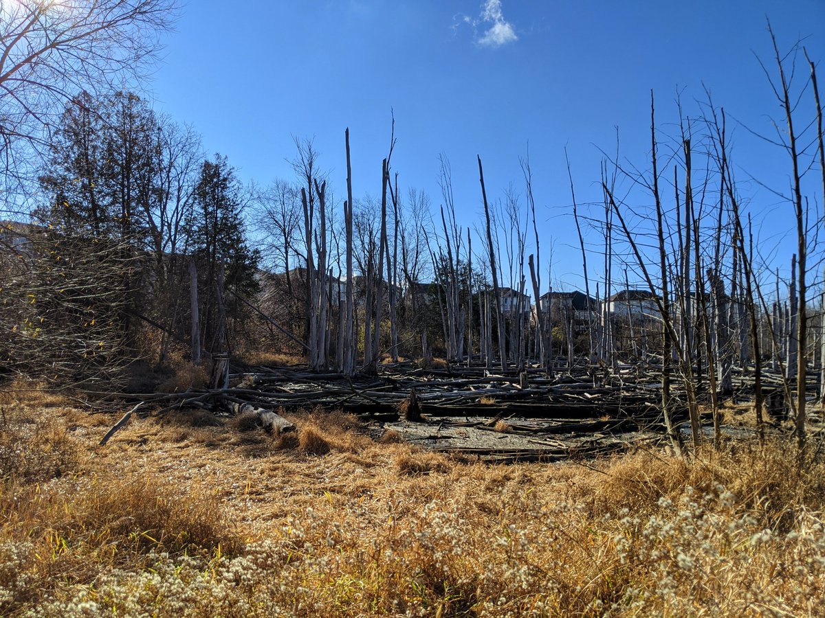
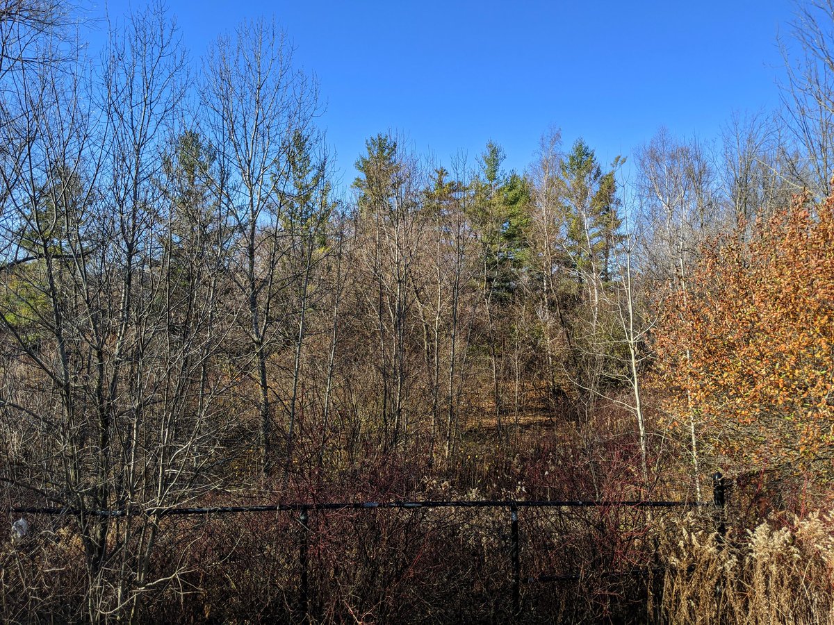
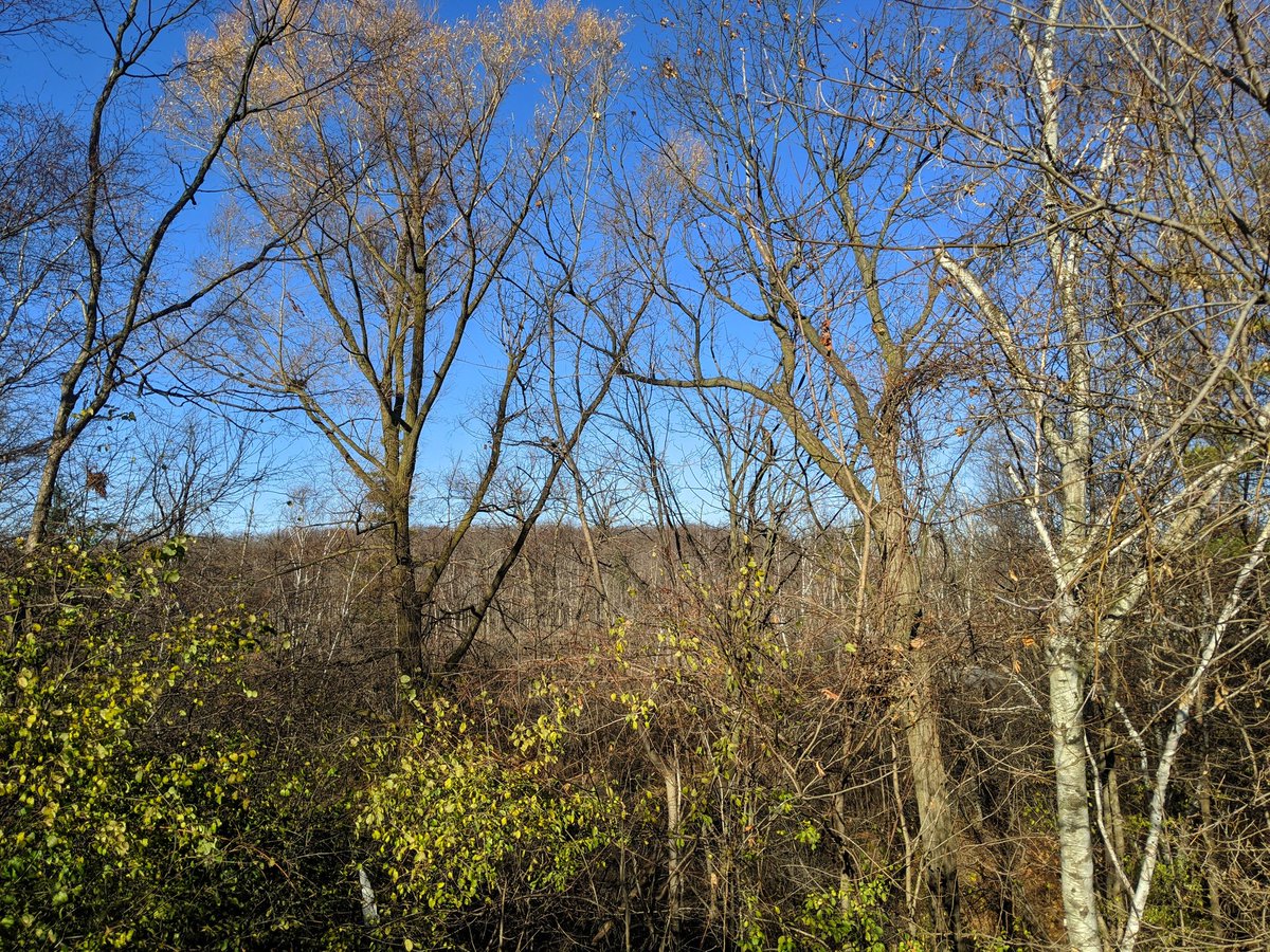
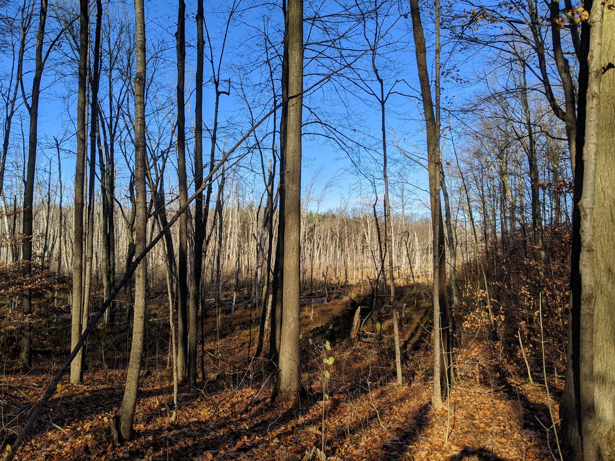
South of Brayshaw Drive is the third and largest pocket. However, the northern trail doesn’t offer a view. It’s wedged in some woods between houses and a berm containing the waters in the swamp.


Townline Road, the boundary between City of Cambridge and Puslinch Township. Also the boundary between the Portuguese Swamp and the overland flow route to Puslinch Lake.
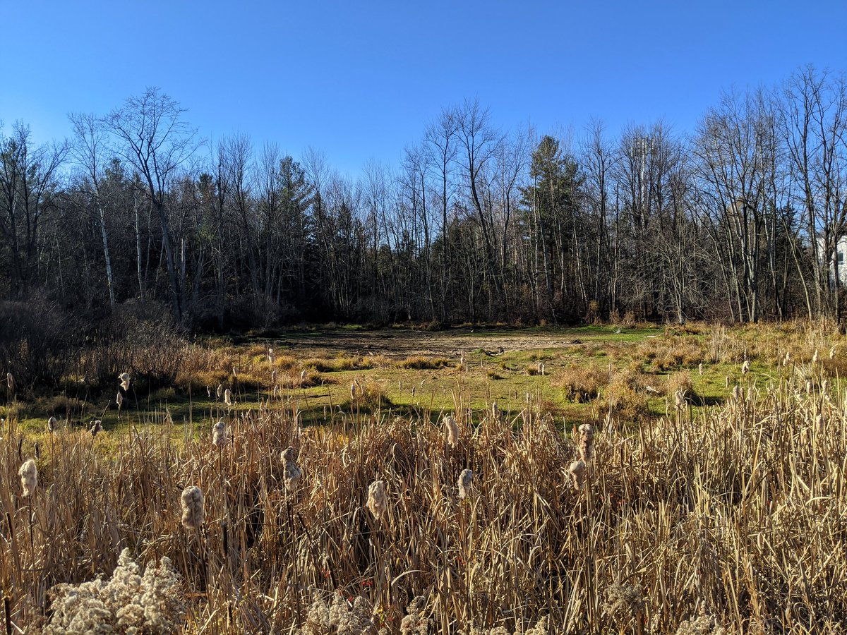
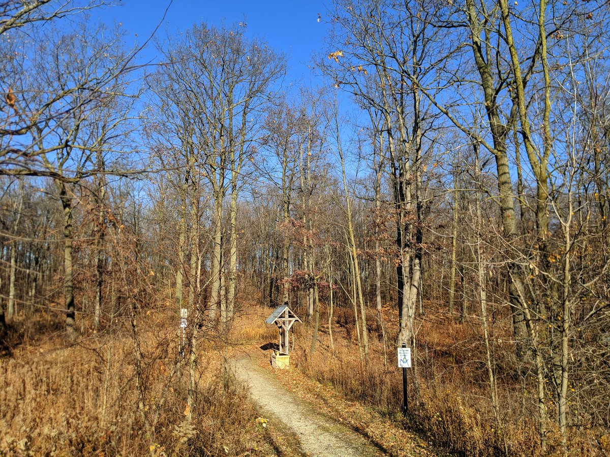
Scooting through the subdivision to the south, there are only brief glimpses of the swamp until you get to a forest off of Burnette Avenue. A trail leads in to offer an actual view of this pocket.
Round the outside, and you get glimpses of multiple parts. It’s a loop trail, you get out the same way you came in.


There are some ponds to the west. Only got to see one, the others are in a strange golf course, surrounded by a subdivision, and now fenced off for redevelopment. Calling it a day here.

Date: November 11, 2020
Length: 13.2 km
Type: Riverine


