Good morning from northwest Kitchener. I’ll be following two hydro corridors today, one is a main trunk on the west side of the Tri-Cities, the other spans across Waterloo. We’ll start along the former, at a south junction point. Let’s go.


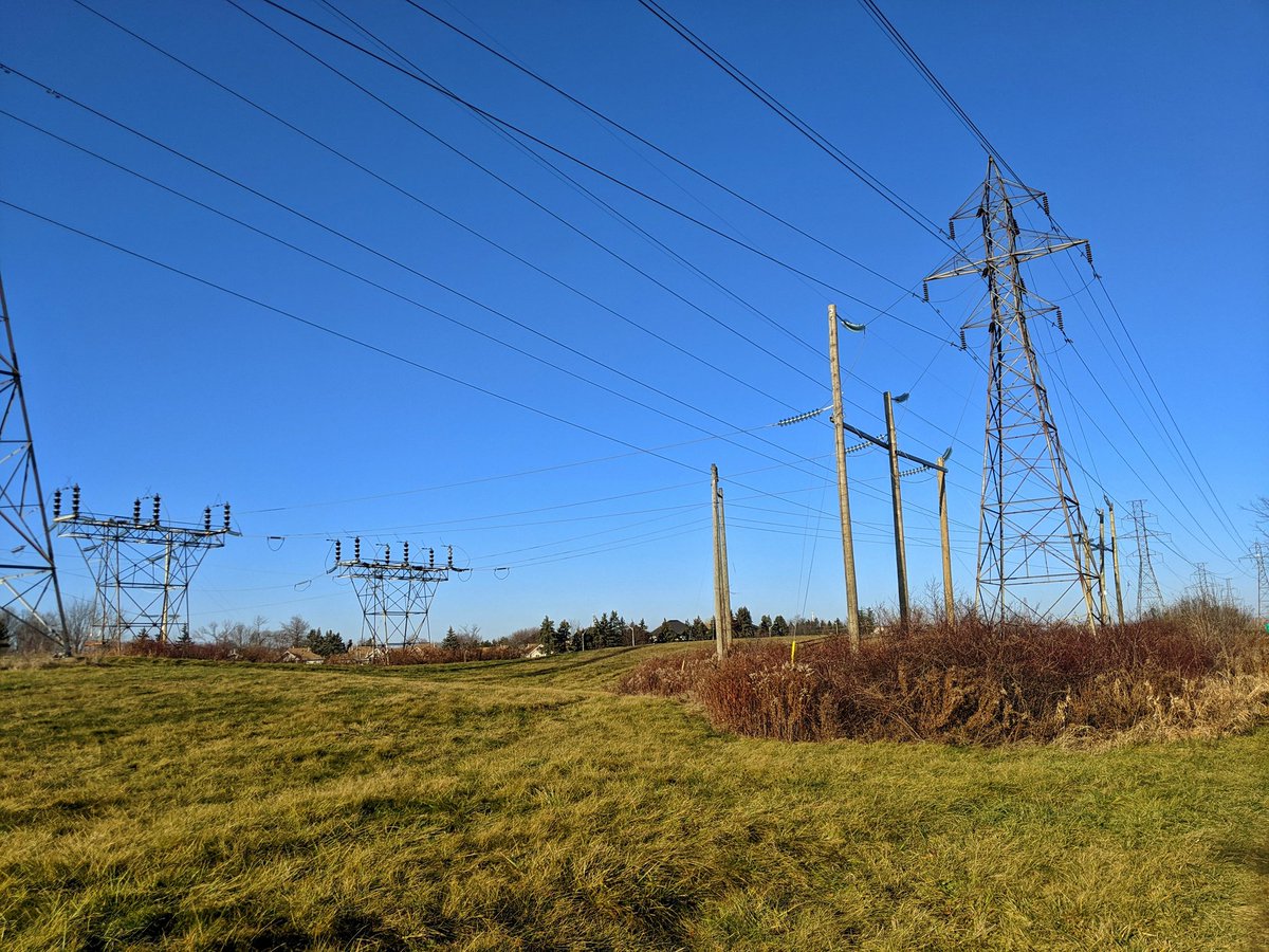
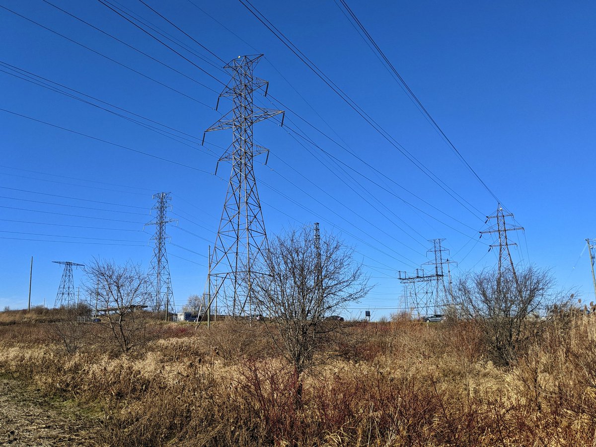
The West Trunk corridor starts where two hydro corridors from Kitchener meet, along with a small corridor serving rural parts to the southwest. It parallels the west Tri-Cities urban boundary. It’s then joined by another hydro corridor from Victoria at this transformer station.


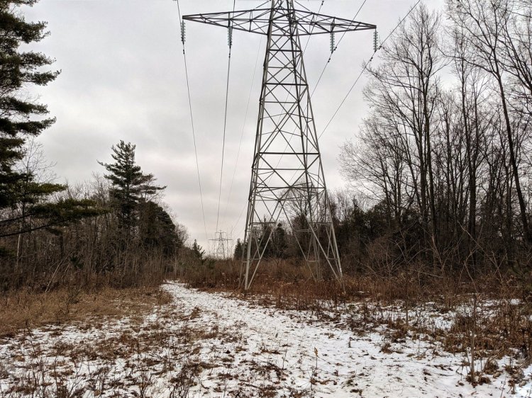
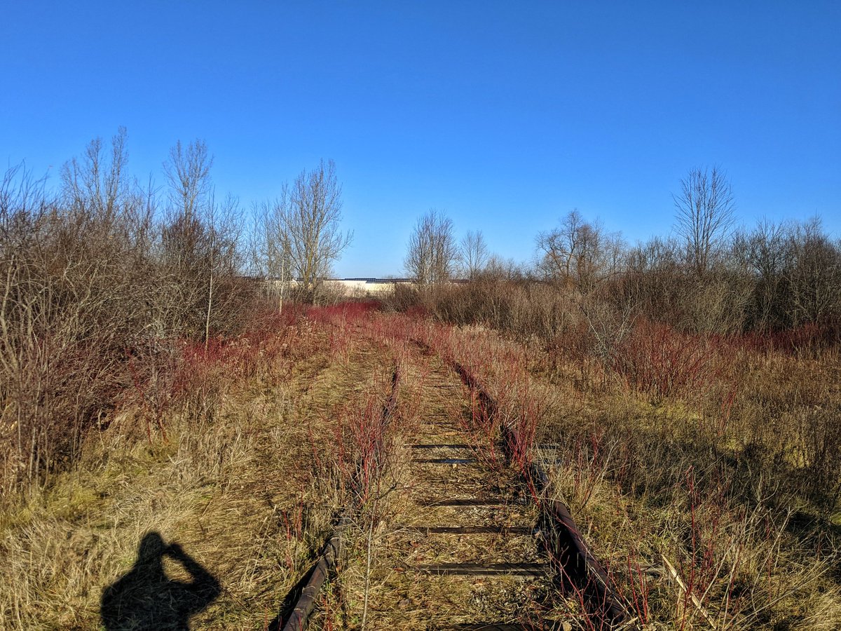
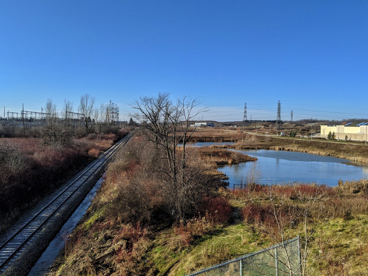
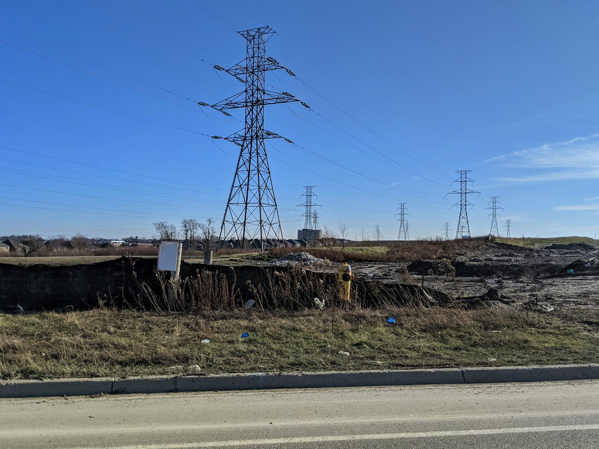
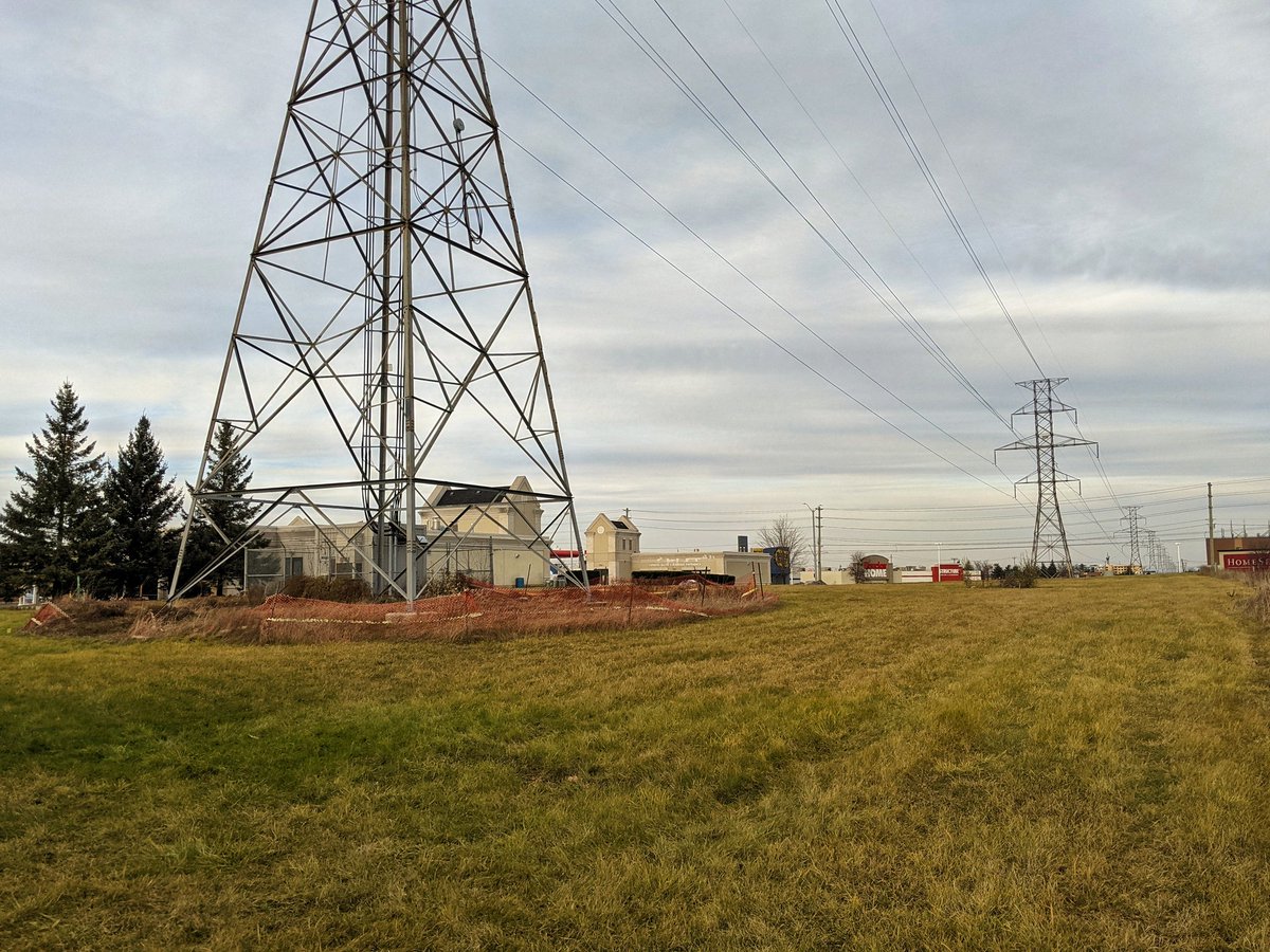
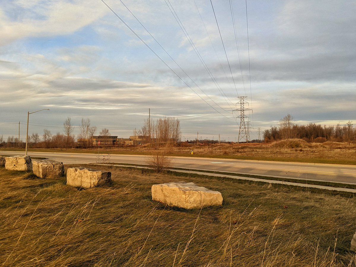
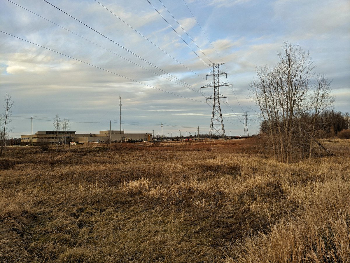
Using hydro truck paths to get around this monster transformer station, which is a regional hub. Then I gotta get around the tracks. An old spur leads me part of the way back to Ira Needles, but it’s pretty thick with brush for half of it. Finally around and over the tracks.

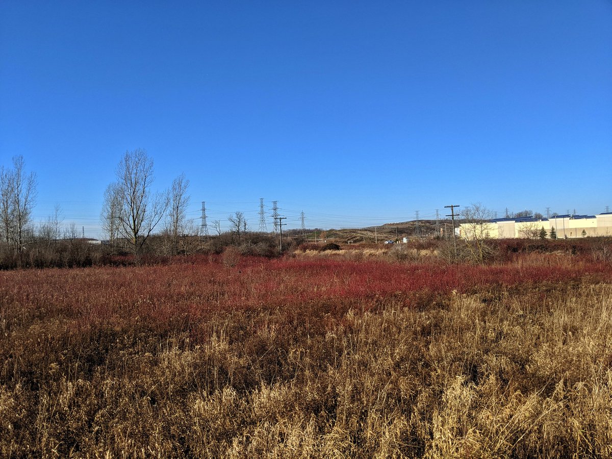
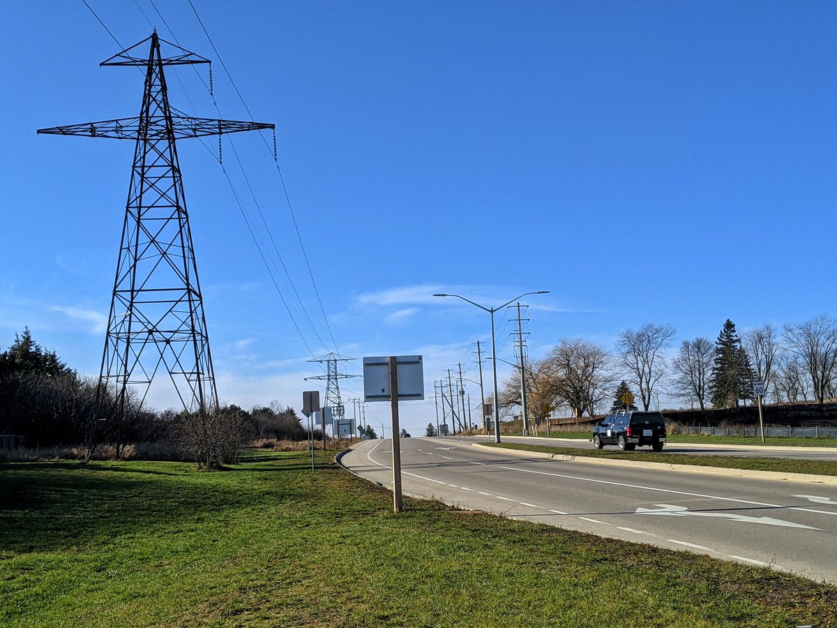
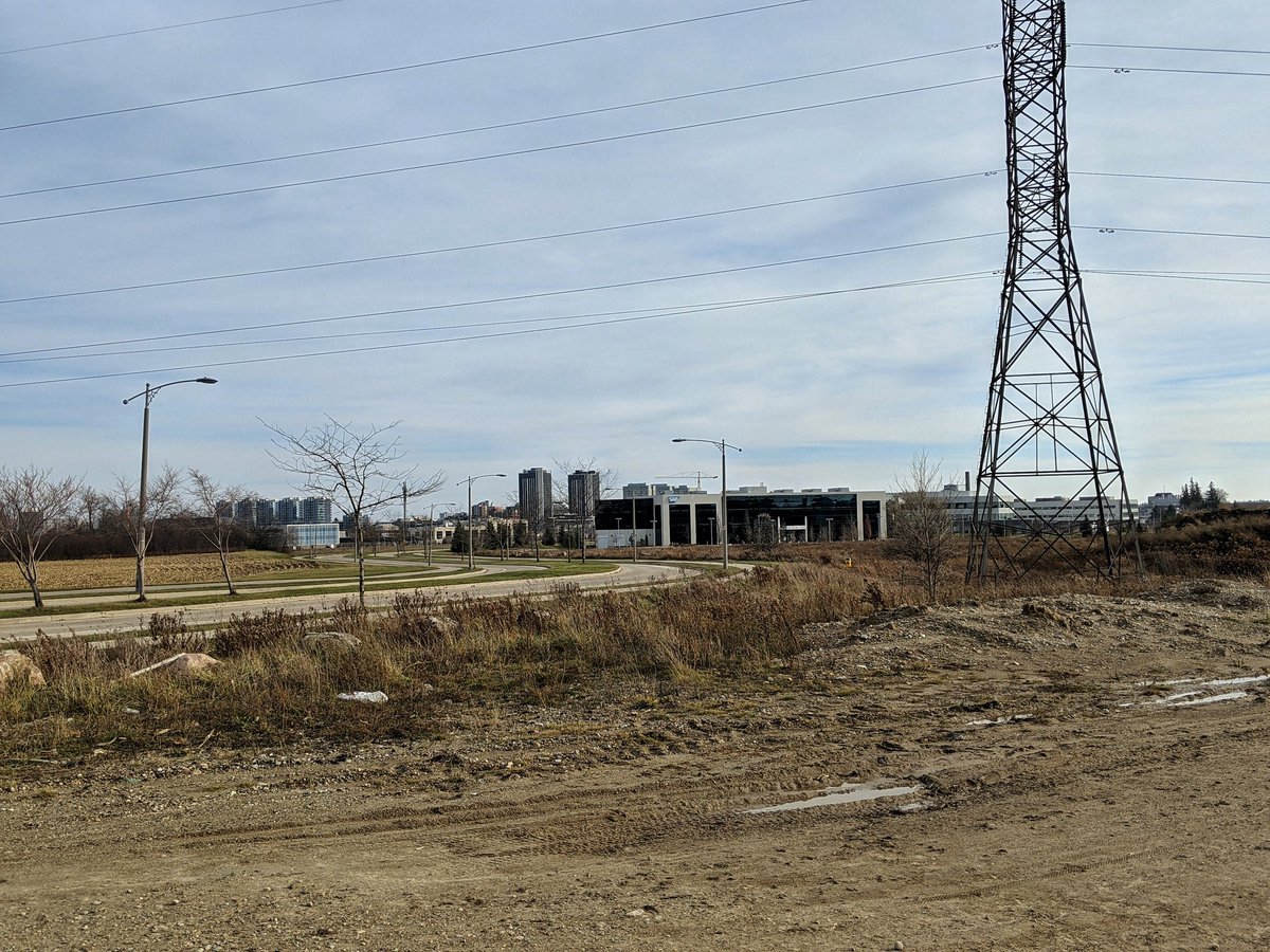
Around the monster, and north. This takes you past the dump. With an east wind, the smell is almost enough to knock you over, but honestly thought it would be worse. Over the hills towards Erb.


Aside from the one at the south end of the West Trunk, there’s two other hydro corridors that branch west into Wilmot Township, leaving a stub in the Tri-Cities urban boundary. One is back between the transformer station and the landfill. The other one is here, parallel to Erb.
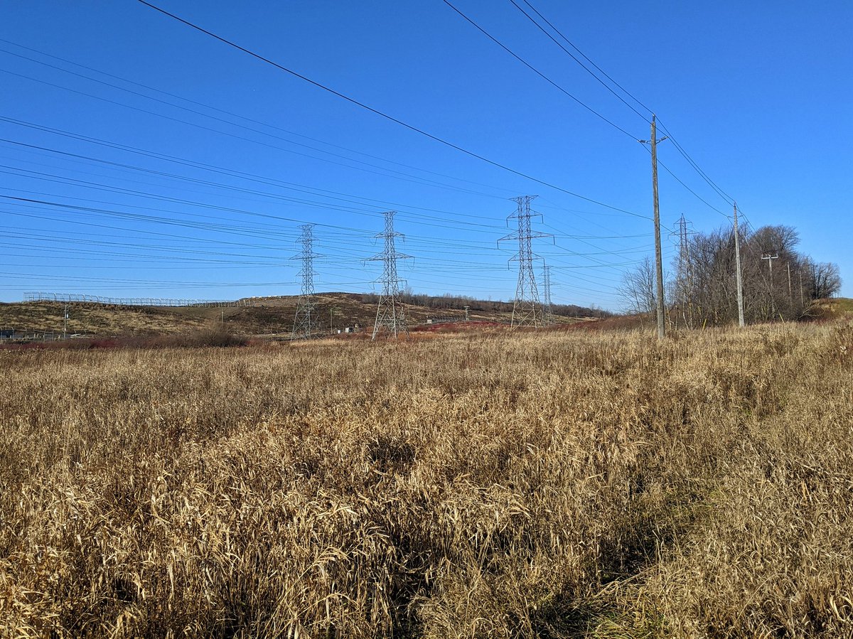
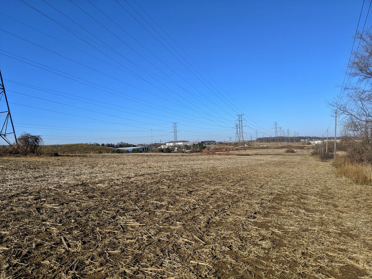
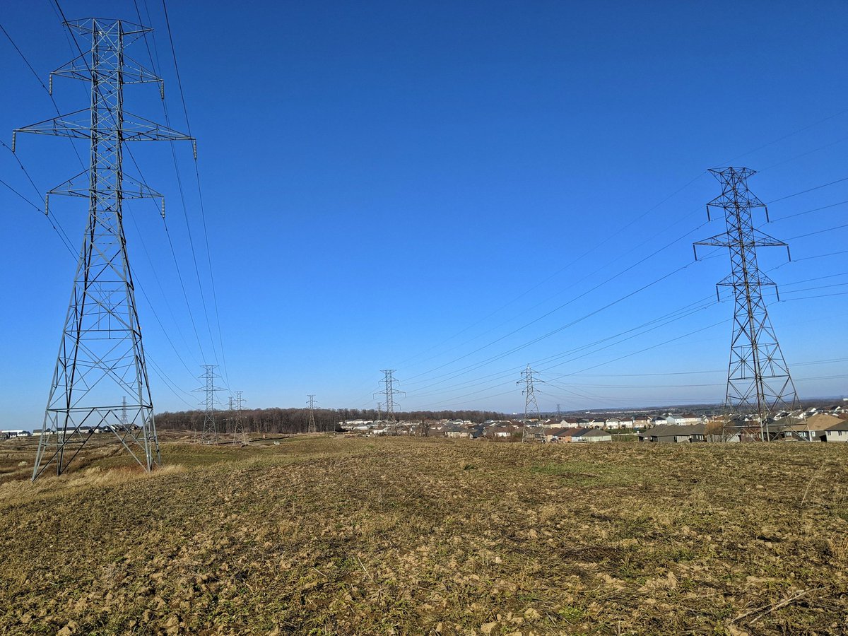
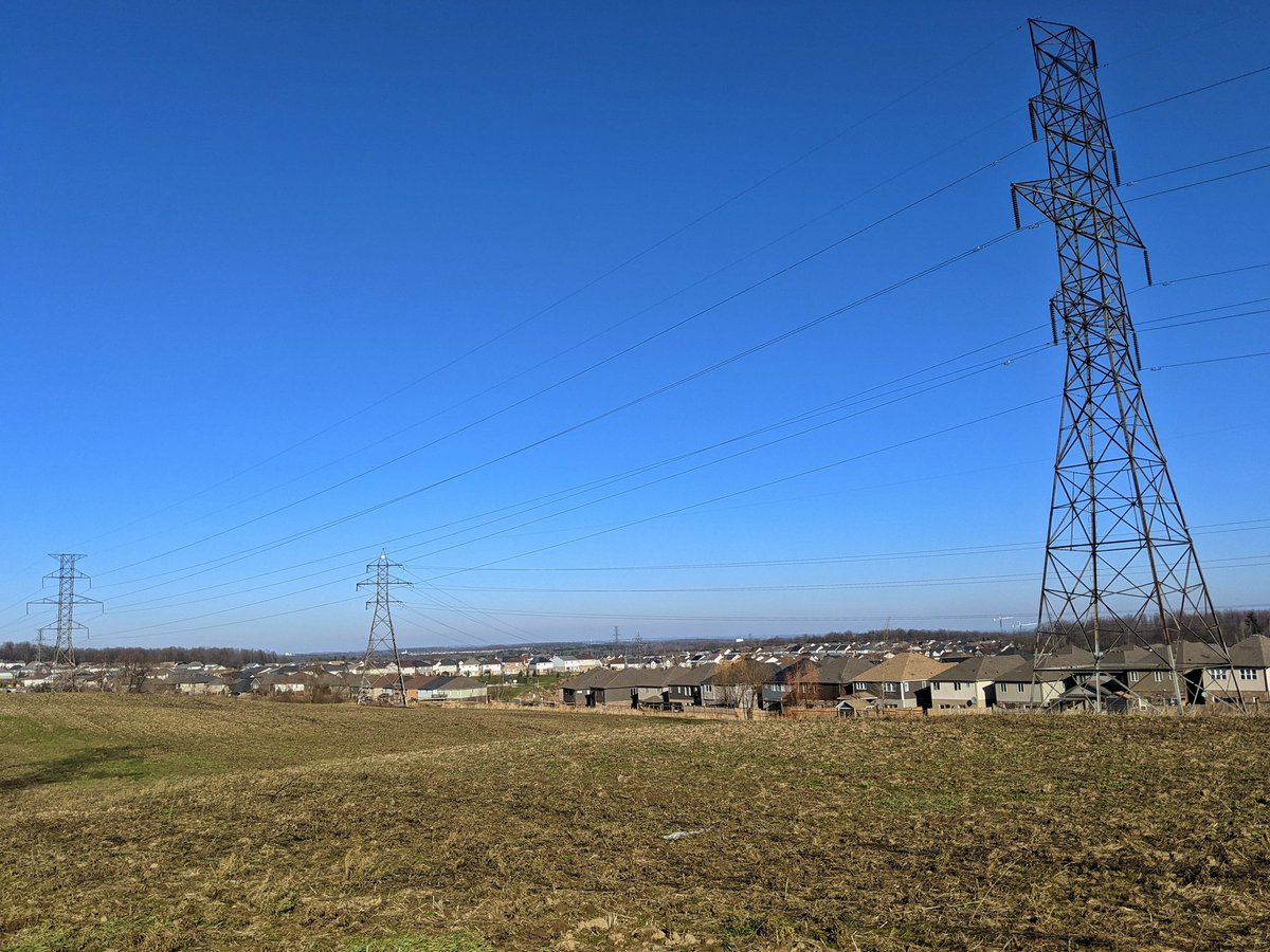
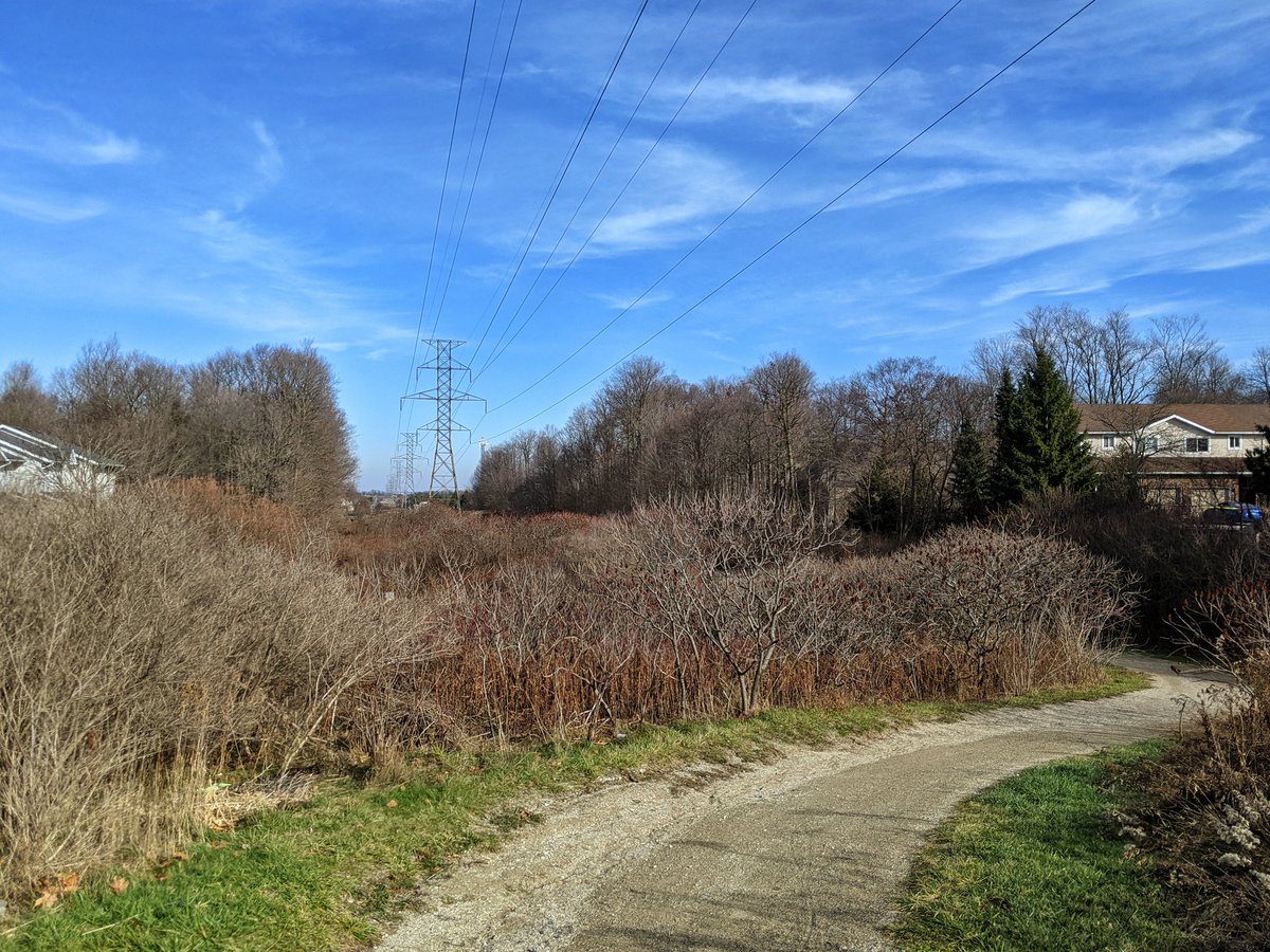
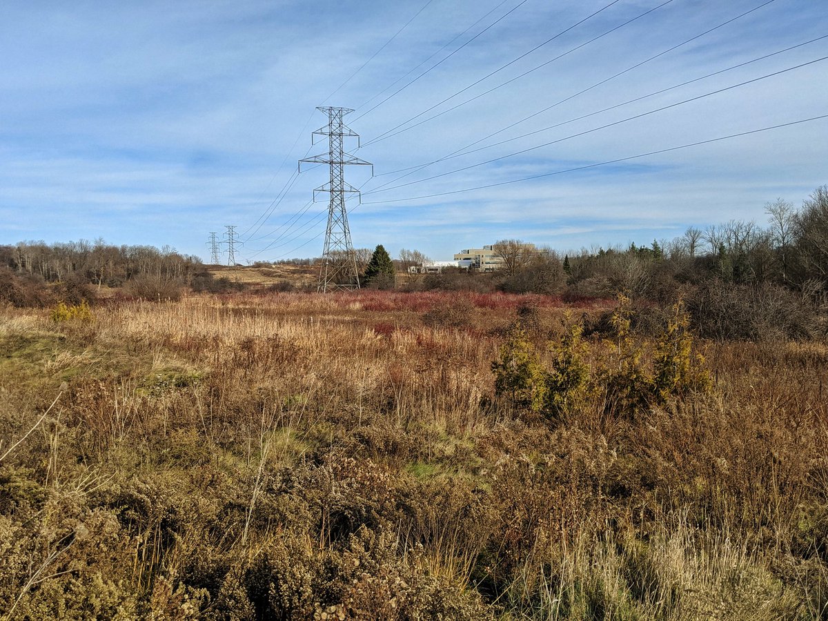
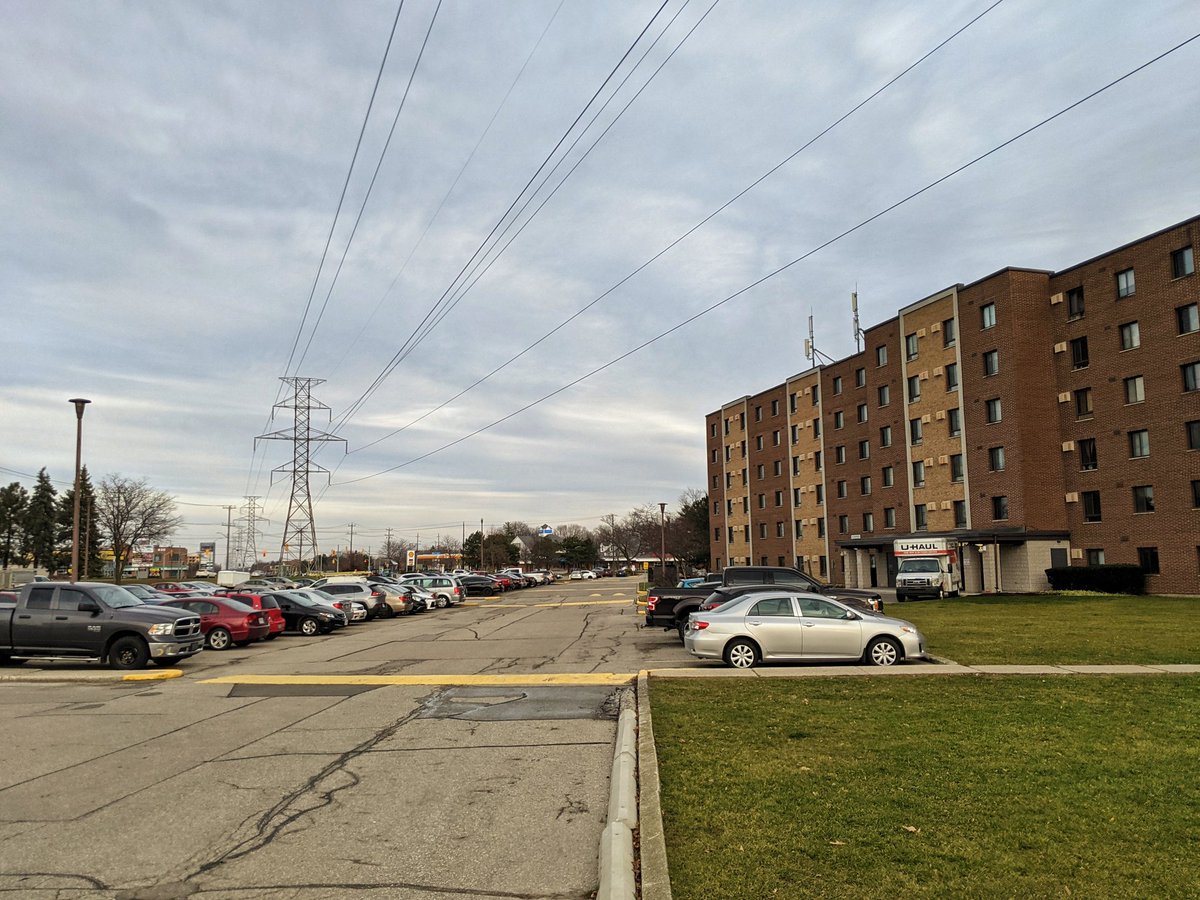
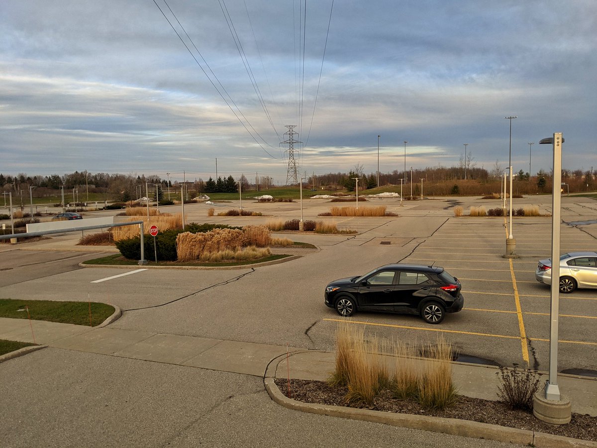
Back to the trunk. Past a Costco that is definitely in panic-buy frenzy, and through some sticky mound muck field. We start to reach the north end. A small corridor branches east, that will be for another day. Then the corridor splits into two, leaving a large forest up ahead.
A quick jaunt to check out the corridor splitting west. Nice overview of Uptown Waterloo from on top of the hill here. Cuts through a brand new subdivision, and heads west into the rural parts. Now to loop back.


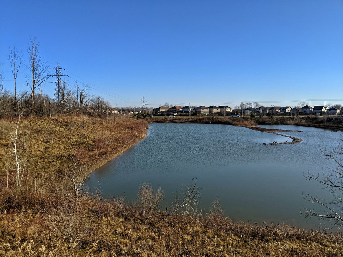
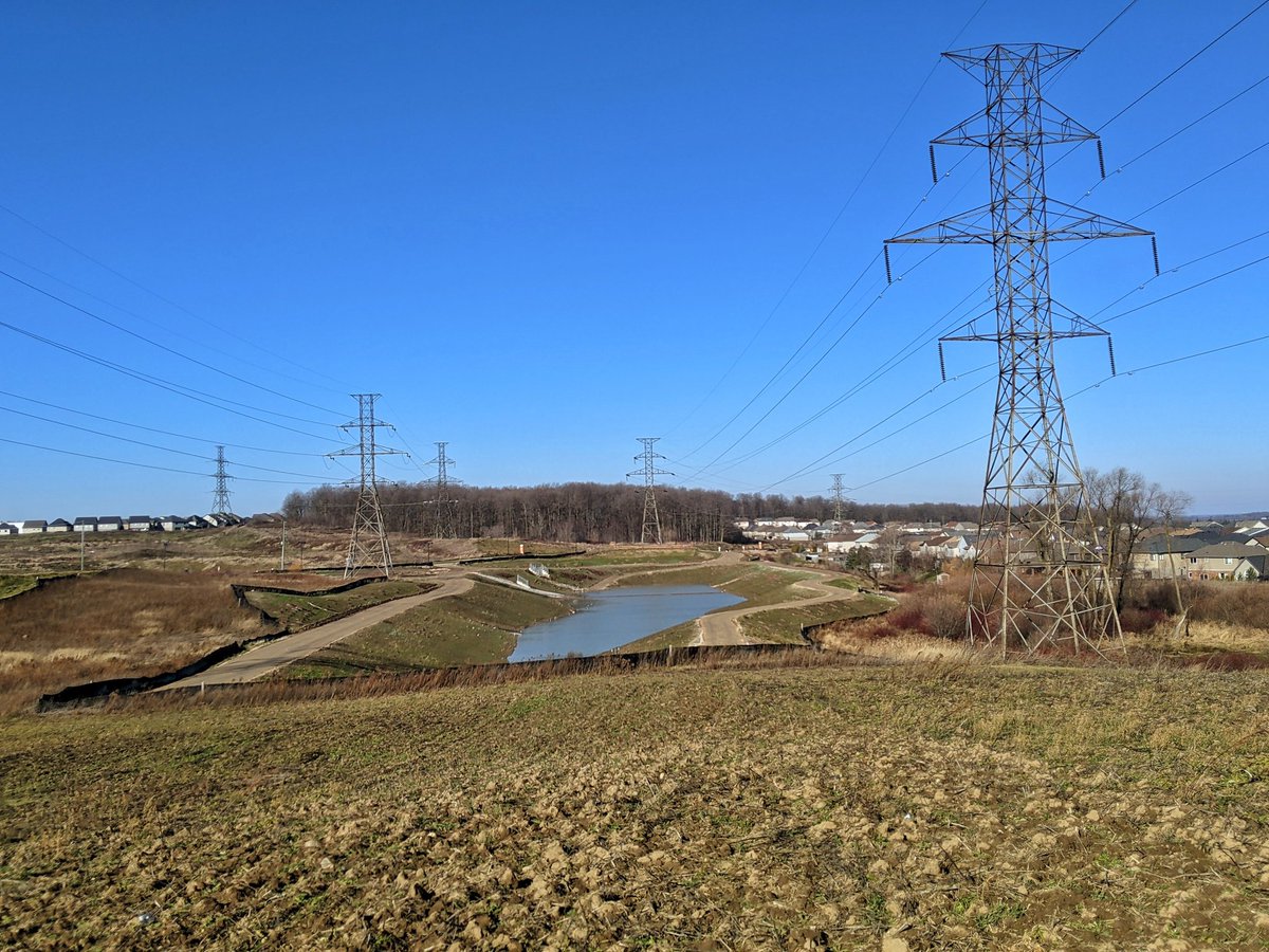
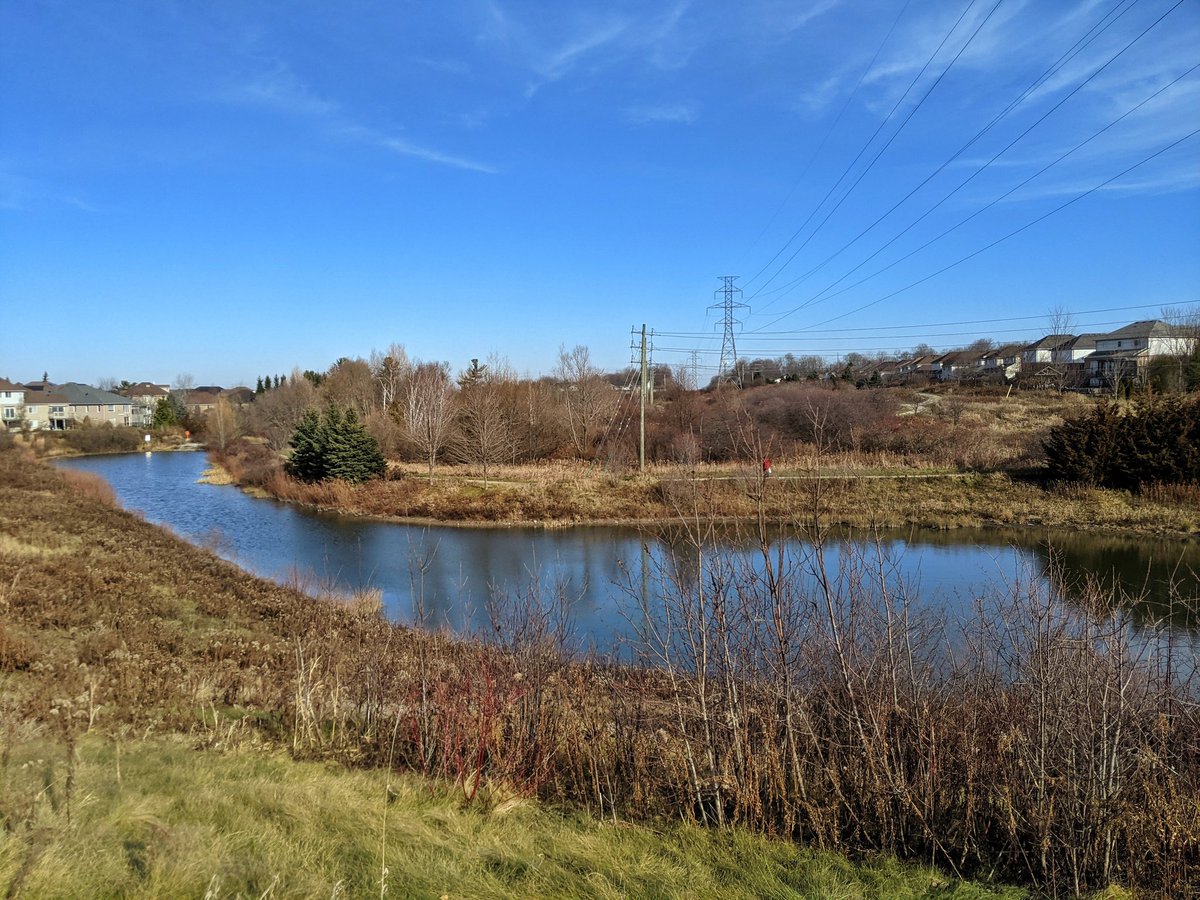
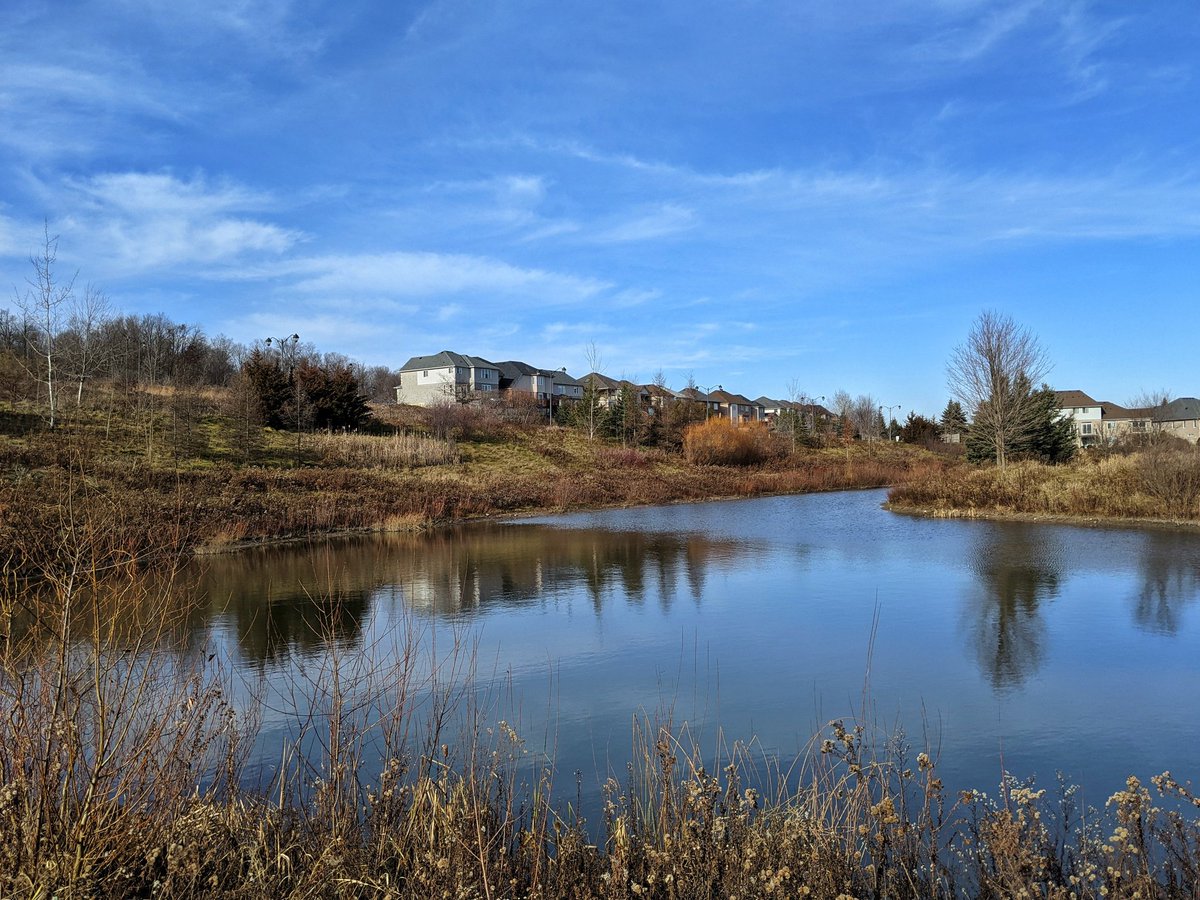
Back to the split, and now we head northeast along the next corridor, simply the Waterloo corridor. It starts jumping over Columbia Street, and then sails over this lovely stormwater pond.

Winding on through a couple valleys, part of a Clair Creek tributary. Back to Columbia Street, and across Clair Creek itself.


A detour around some future midrises, hopefully a trail will materialize in that stretch. Past a local substation to the UW Environmental Reserve. Columbia Lake, Laurel Creek and associated wetlands will force another detour.


Across Laurel Creek, and eventually back to the corridor. Through townhouse complexes and across Cedar Creek.


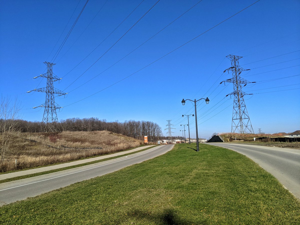
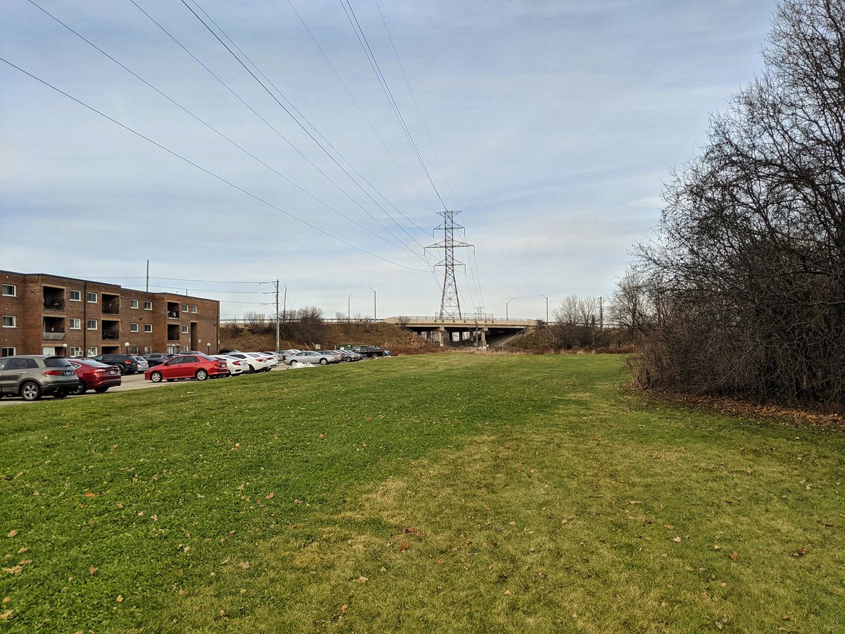
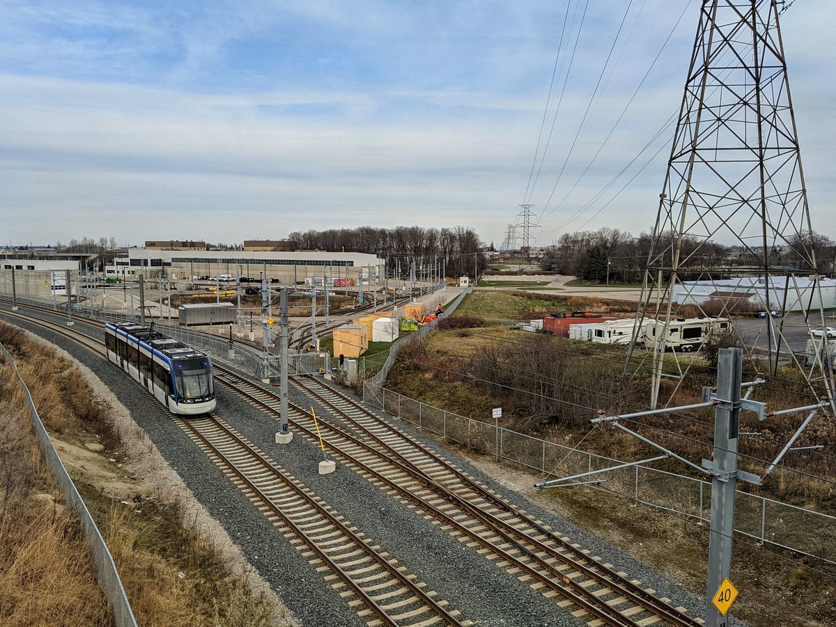
The corridor crosses the Waterloo ION. It then meets the Conestoga Parkway. There’s no access in behind the LRT maintenance yard or nearby pedestrian bridge, so another long detour is required.

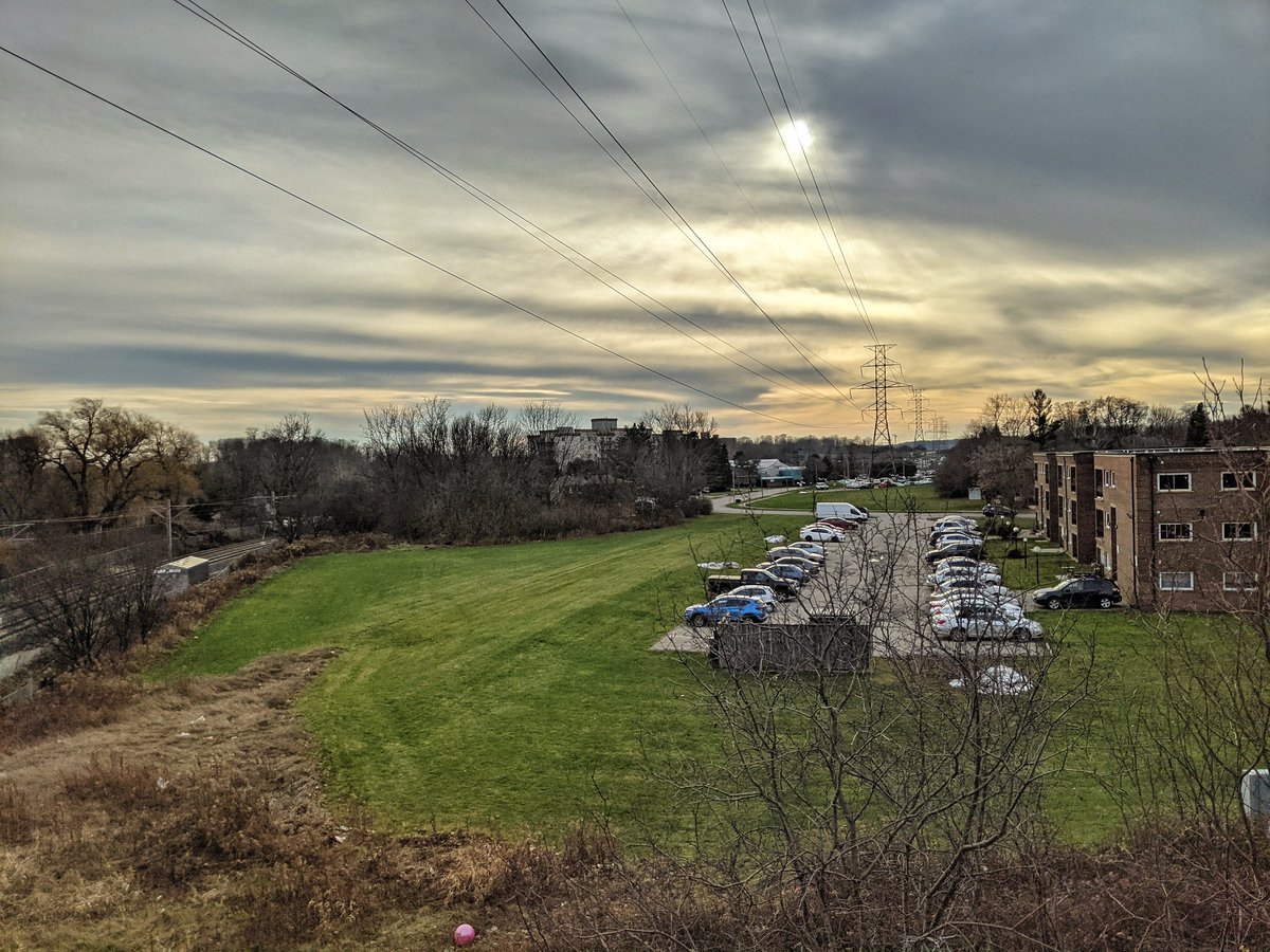
On the other side of the Conestoga Parkway, the detours continue. Partly due to industrial lot fabric, partly due to roads.


Back on corridor, hopping to one side of Northfield Drive, then back again. A park bowl and a stormwater management pond. More midrises, and into a commercial park.


Past what used to be the hottest Canadian tech company, and its namesake commercial park. Nearing the north border, losing light.

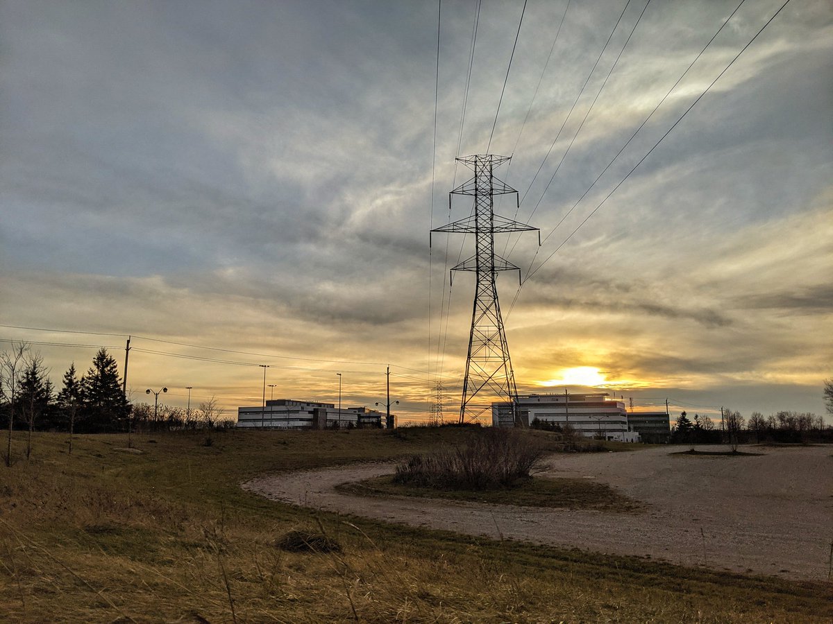
One last glimpse of the corridor as it crosses Country Squire Road, and passes the HQ for Waterloo North Hydro. That’s the end of today’s walk.
Date: November 29, 2020
Length: 24.3 km
Type: Utility