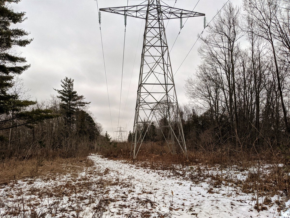
Good morning. Today I’m following some more hydro corridors in the Tri-Cities. I’ll start here at the edge of Hespeler, following one corridor towards the 401. Then I’ll parallel Highway 8 to Kitchener. Let’s go.

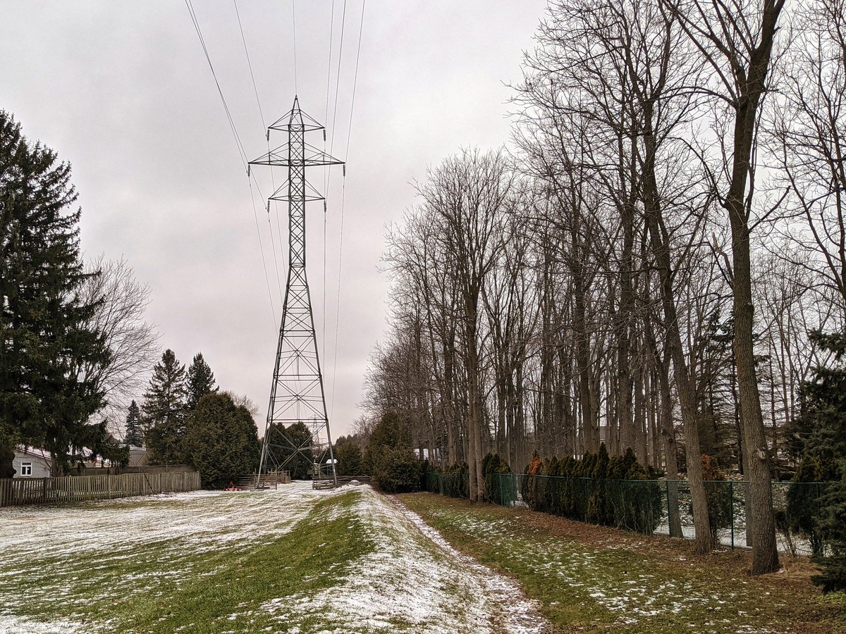
This first corridor comes from Guelph, paralleling Highway 124. When it crosses into Hespeler, there’s a good stonedust trail beside it that goes into the woods. I strayed far enough from the hydro lines to wonder if I was going the right way.


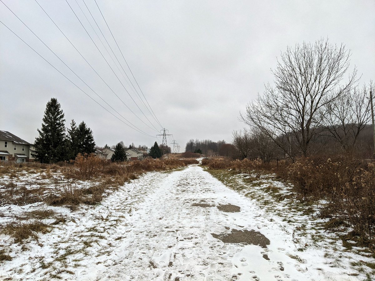
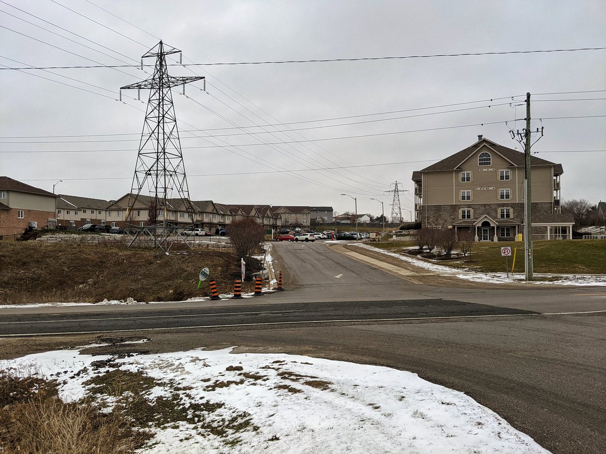
Back into a clearing and the corridor. Then around some backyards. Fortunately it’s only one detour, and a pathway behind a new development leads into Chilligo Conservation Area.


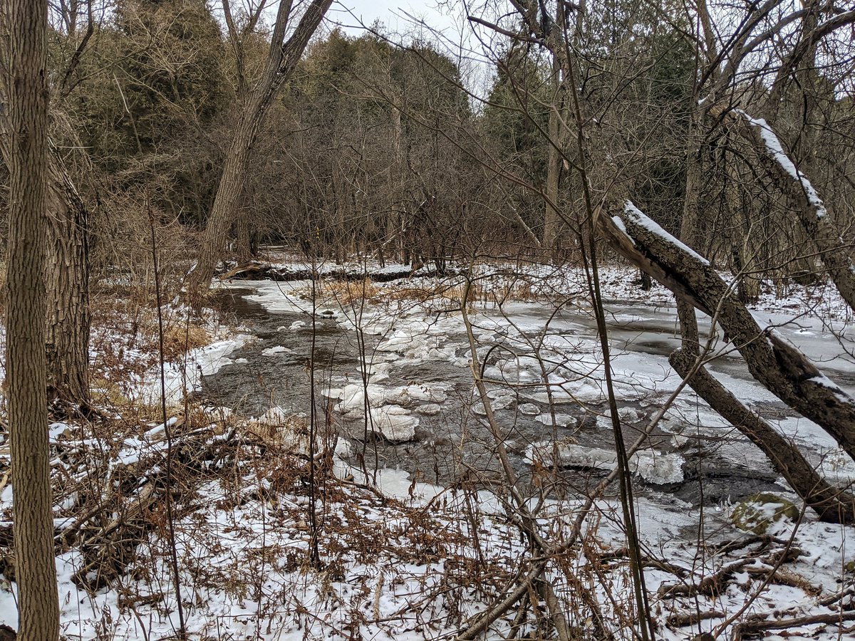
Okay, a detour I didn’t fully plan on. Chilligo Creek runs across the corridor, and I underestimated the amount of flow it had. Can’t hop across, gotta navigate the northeast bank until it meets the Speed River. But hey, I’ll take a creek detour over a silly fence any day.


And now another big detour I wasn’t planning on. This time, it’s because Speed Island Trail is a private lane, and the amount of “No Trespassing” signs suggests I’d really piss off the residents by wandering down there.
Relegated to the Speed Island Trail, there’s a glimpse of the junction between the last and the next corridor. This is a trunk leading from a transformer station south of the 401. Over the river, it splits: east is where I came from. West goes to the Conestoga Parkway.
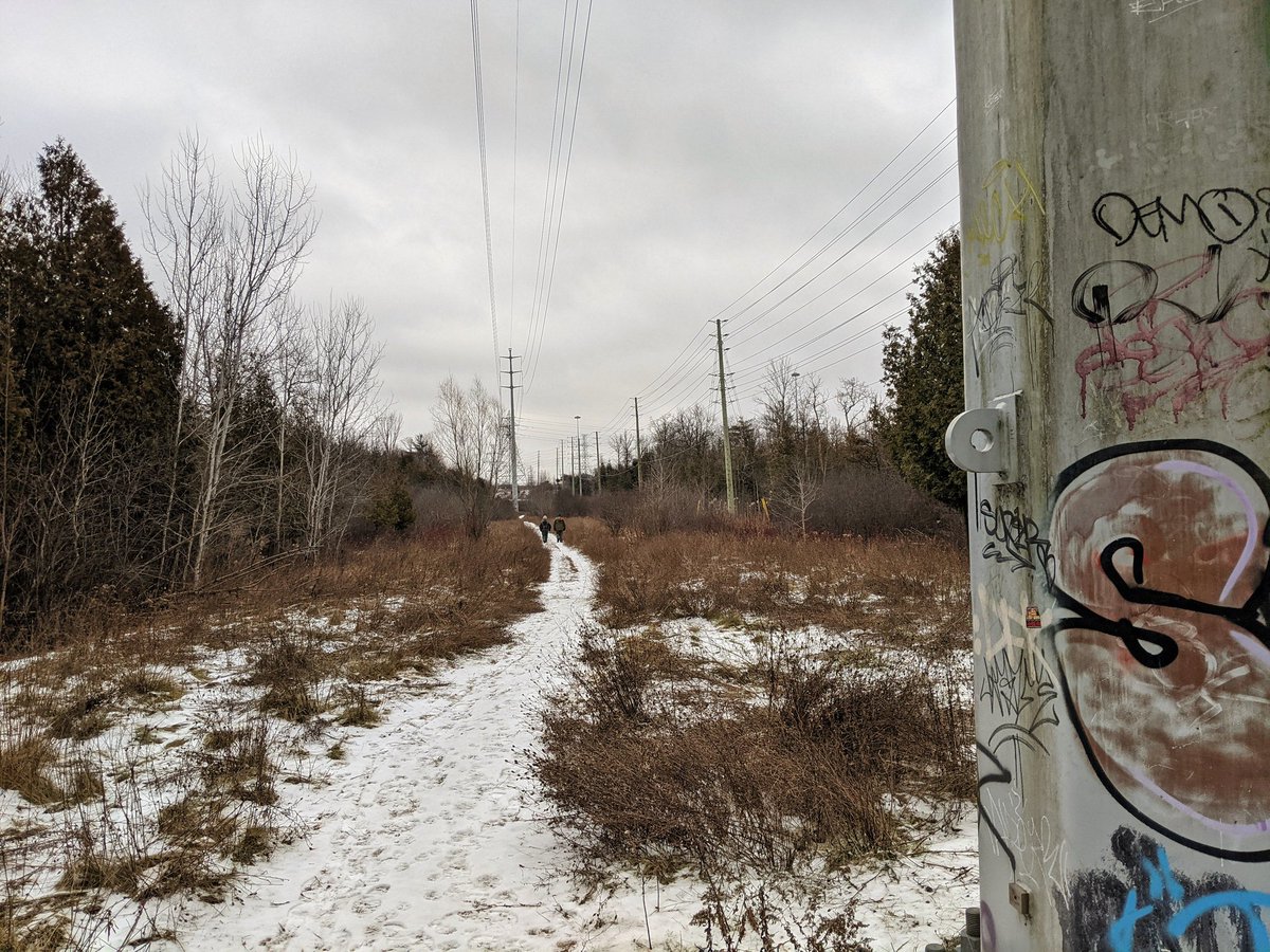

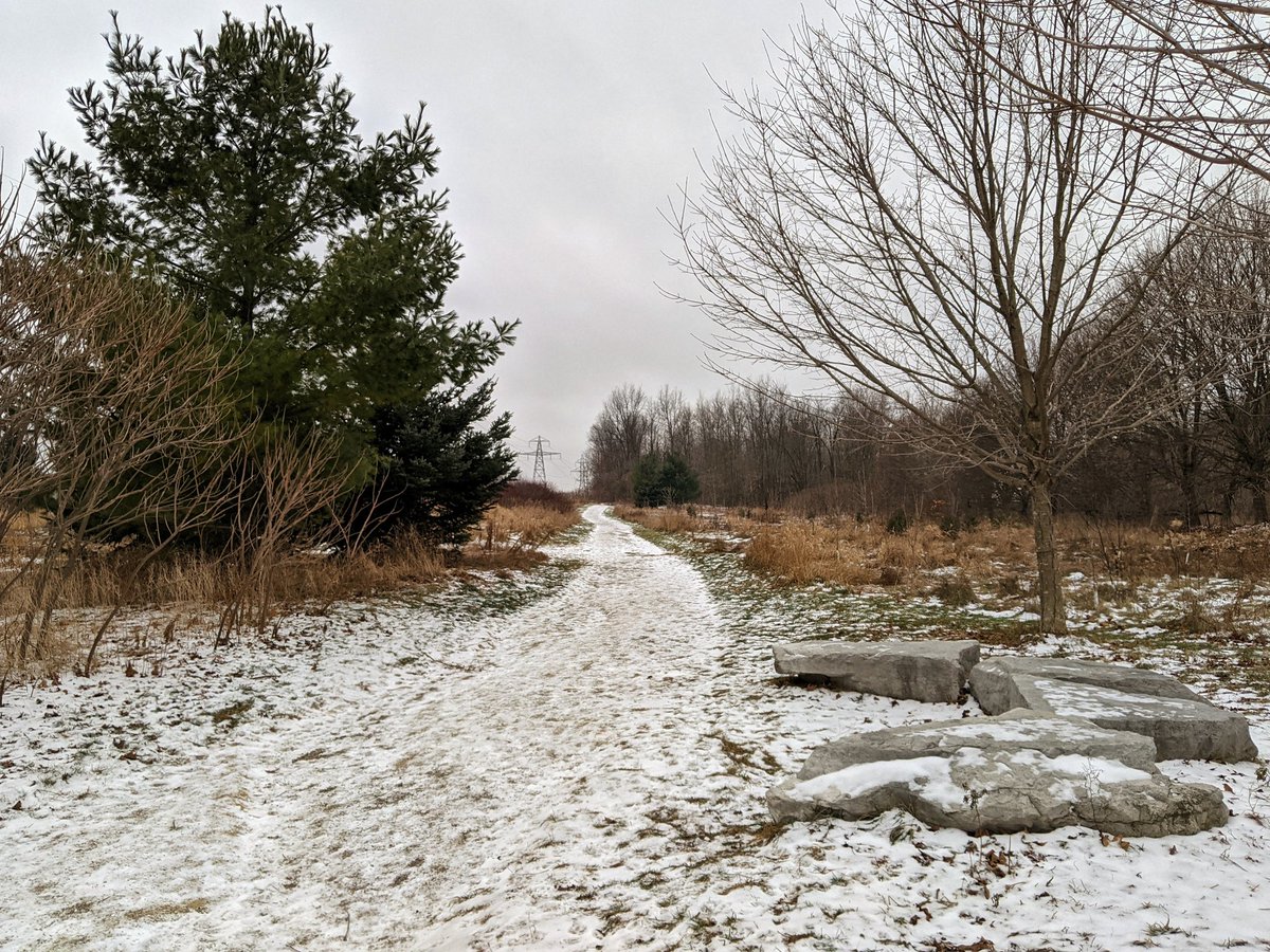
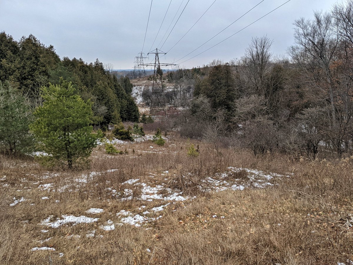
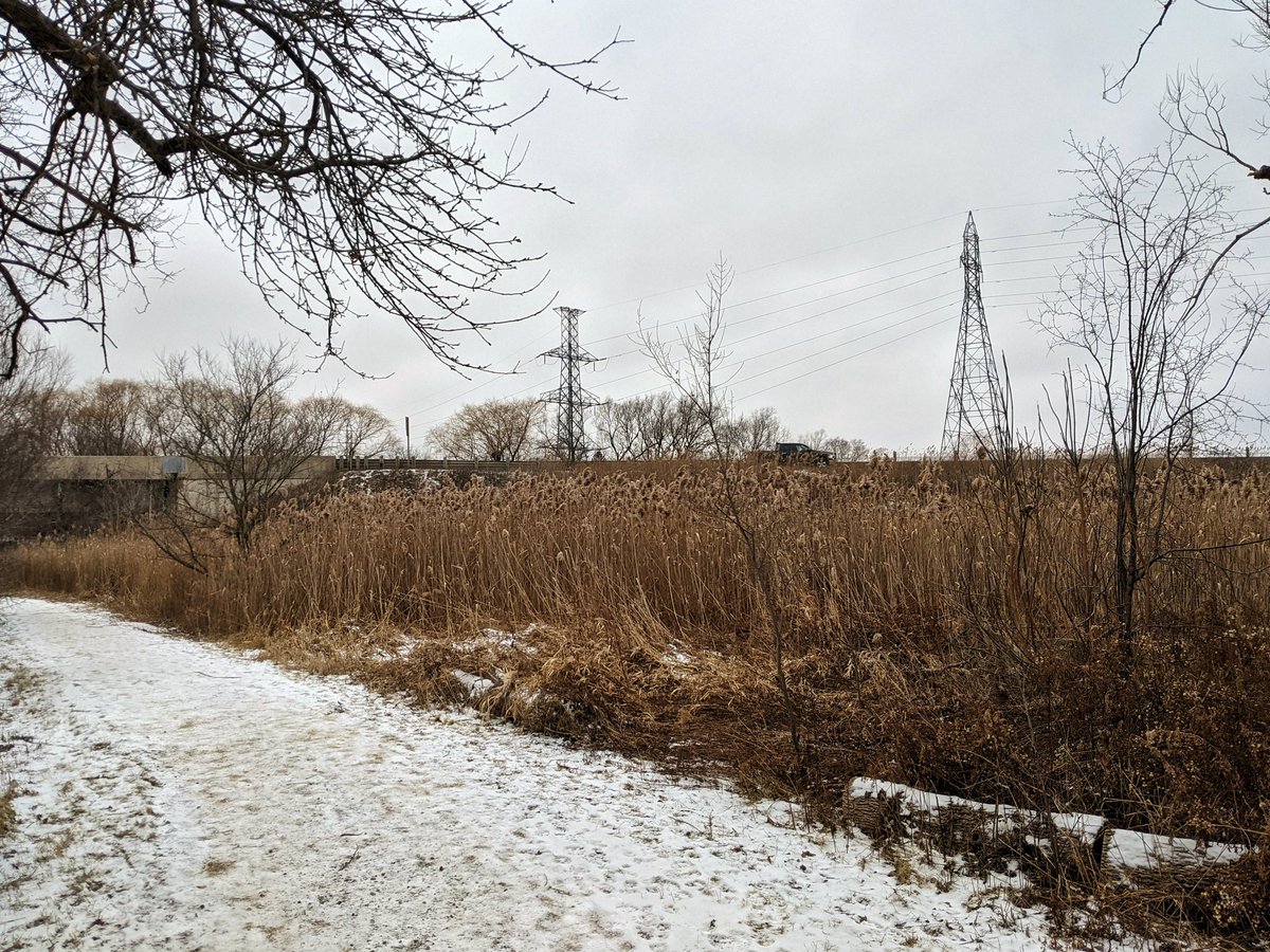
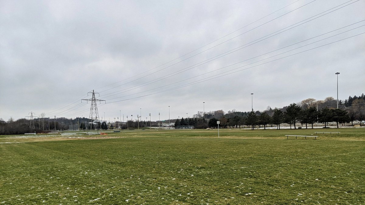
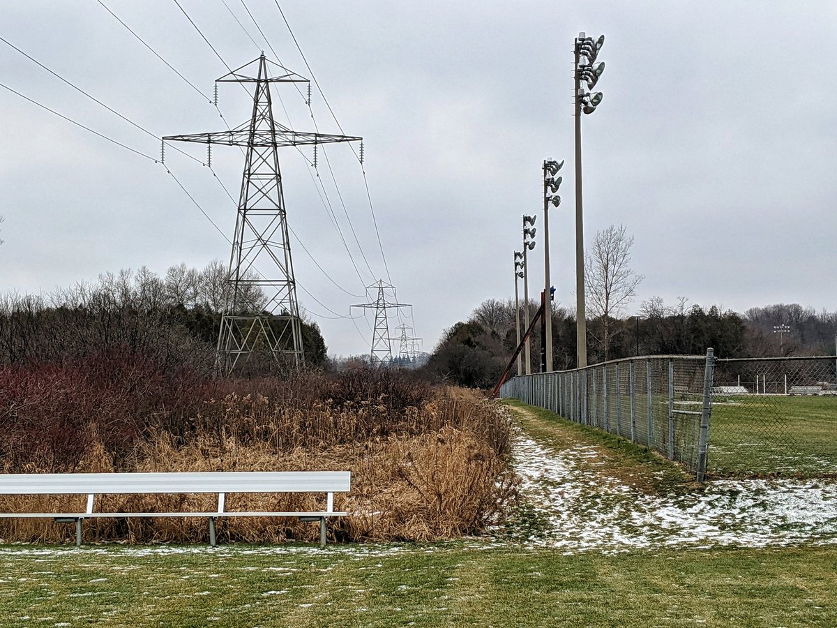
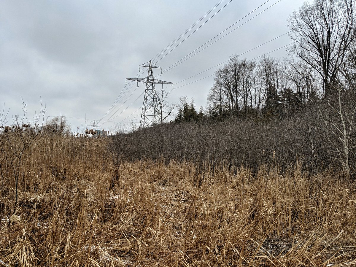
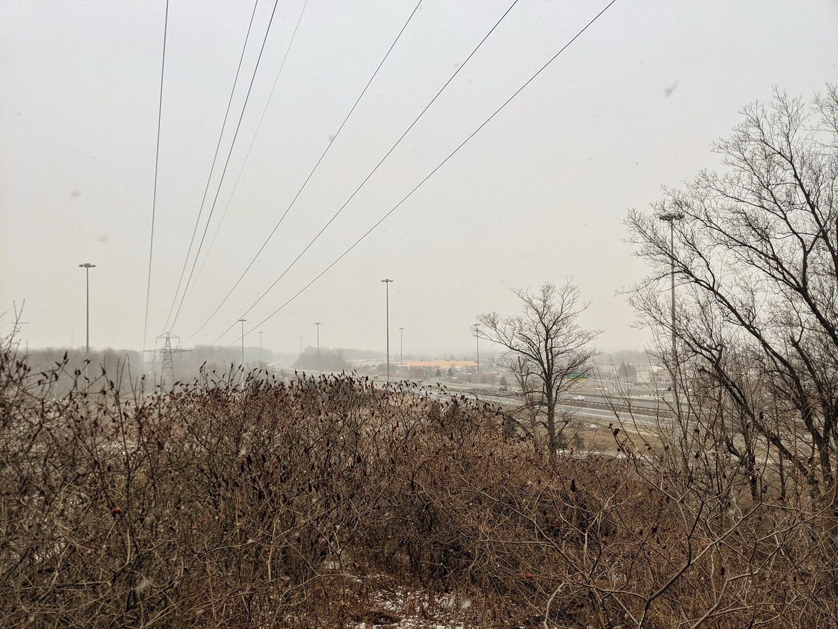
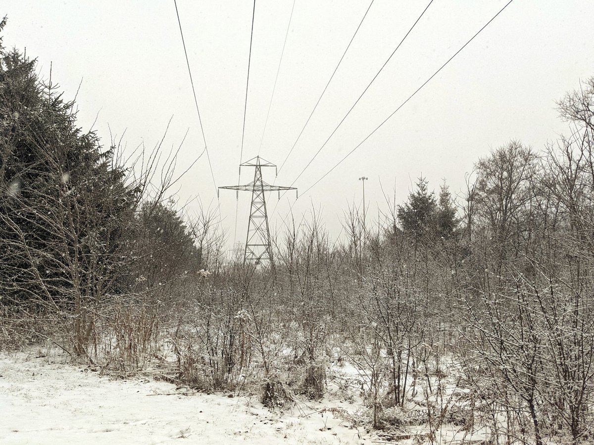
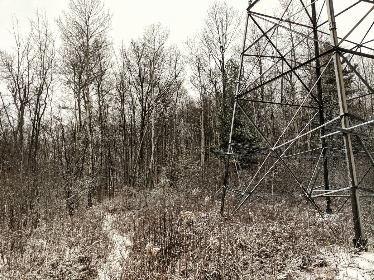
Finally making it back to the corridor as it ducks south of the 401, swooping over the Riverside Park sports fields. Past here it cuts through wetlands. More diversions, but not so far and unfair now.


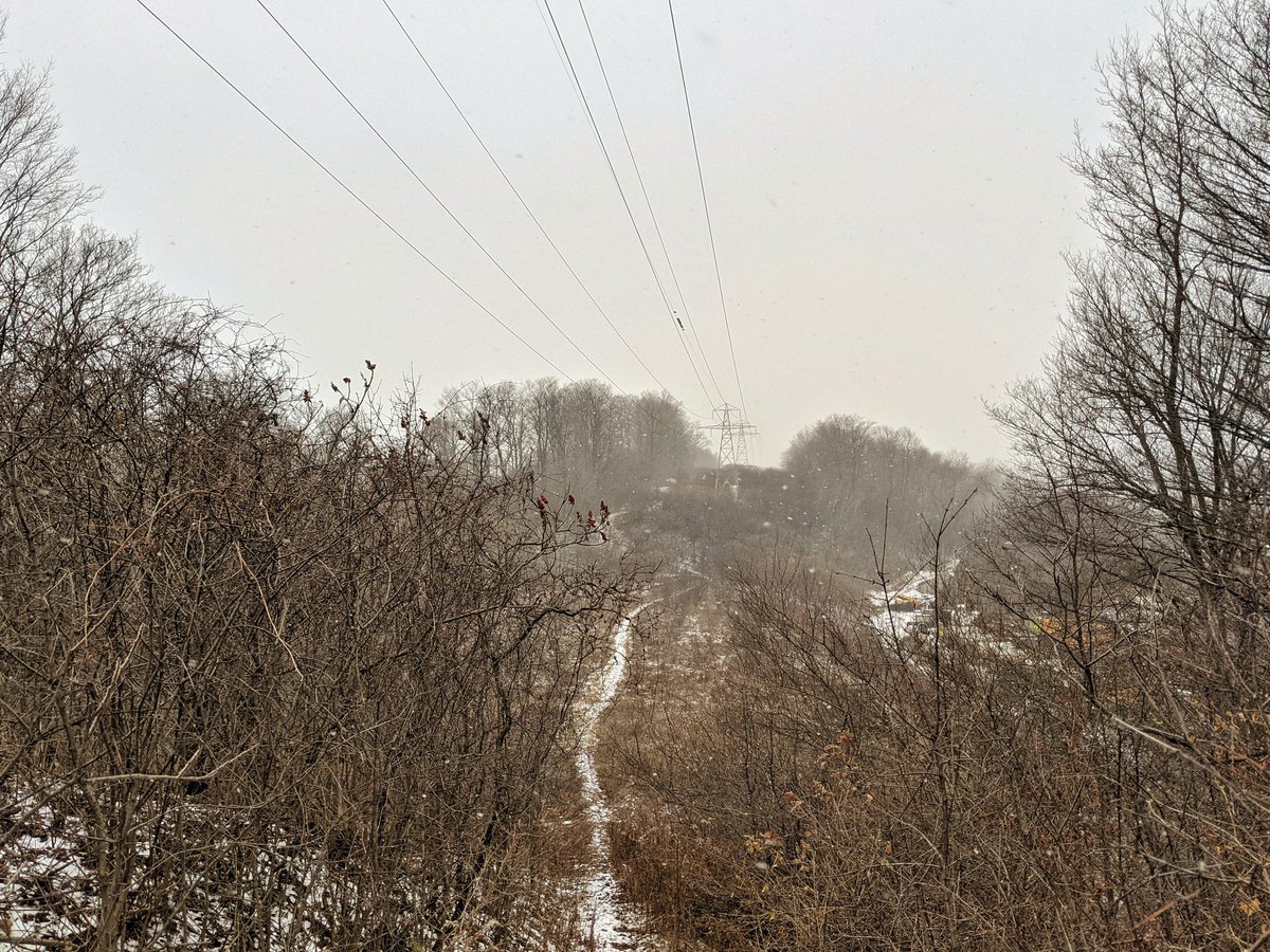
Through the wetland deeper into Riverside Park. Then a gigantic hill to climb, towards the Fountain Street overpass.


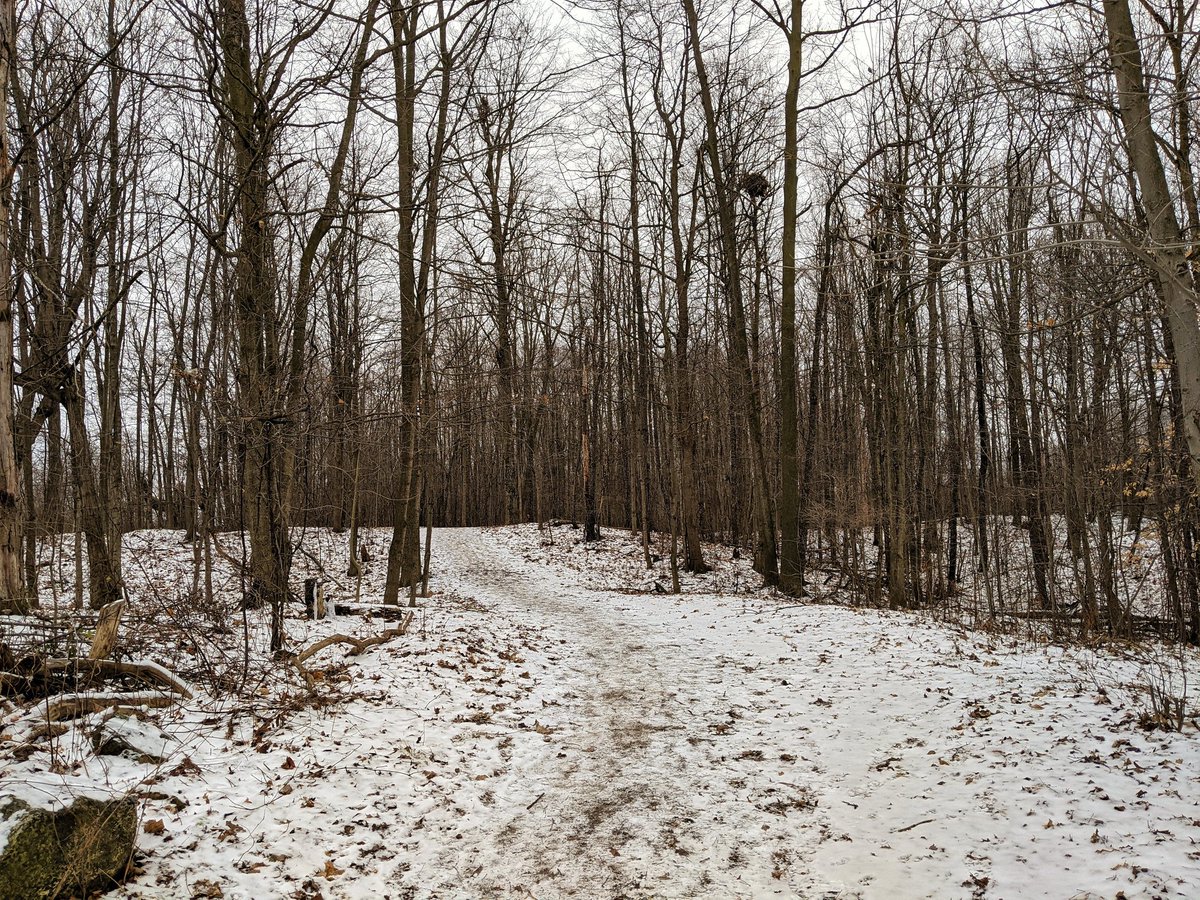
Back over the 401, and to the 8. We’re back in the woods, heading north.

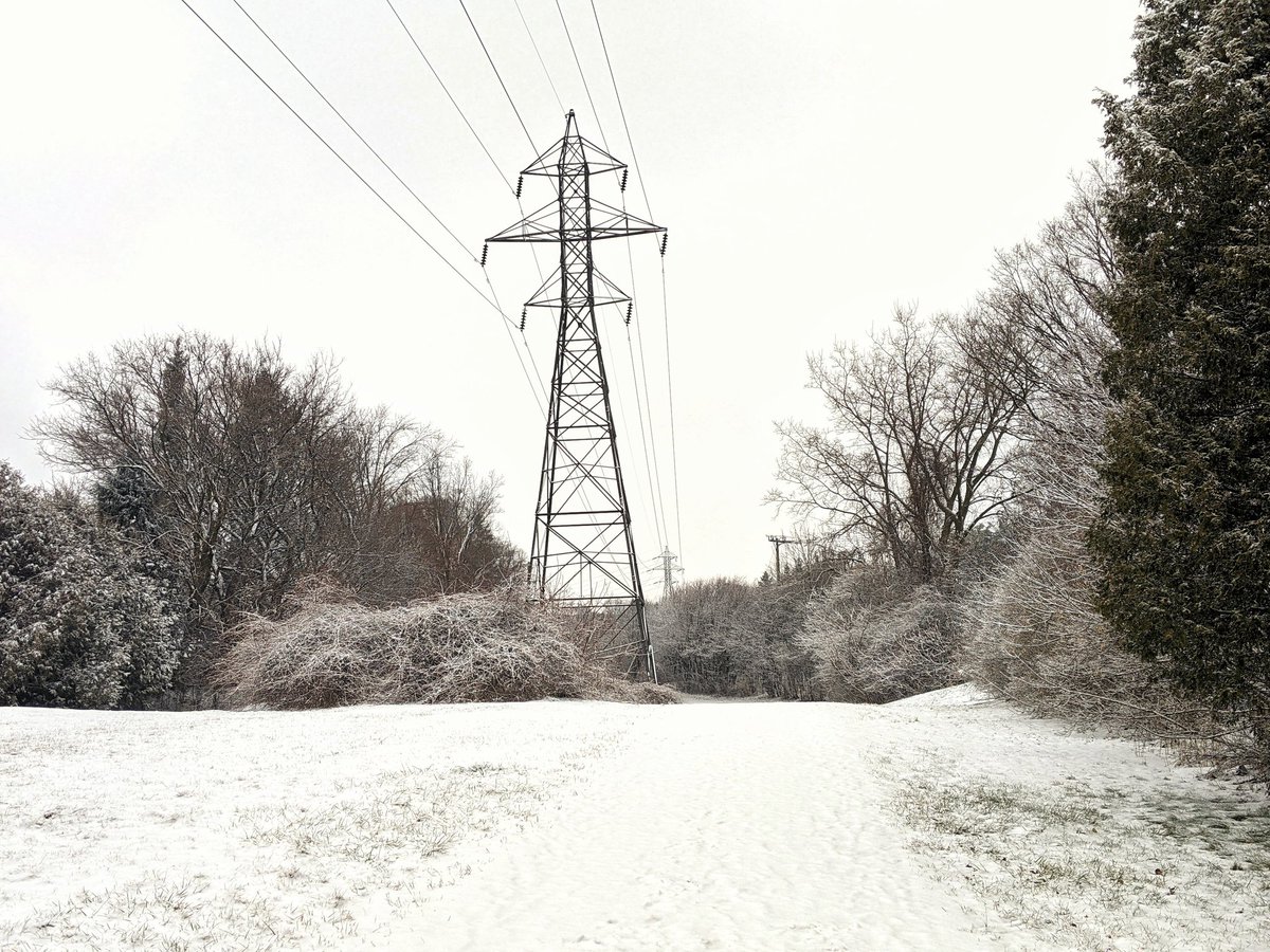
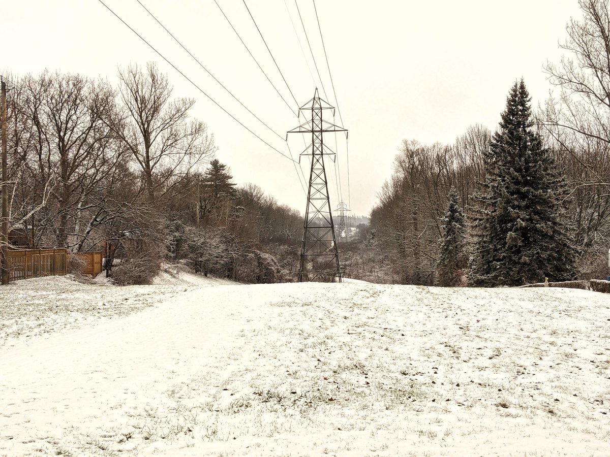
Now for a hilly part between Sportsworld and King Street. It’s beginning to snow, but at least the ground is frozen, making the trip through this mucky area easier.


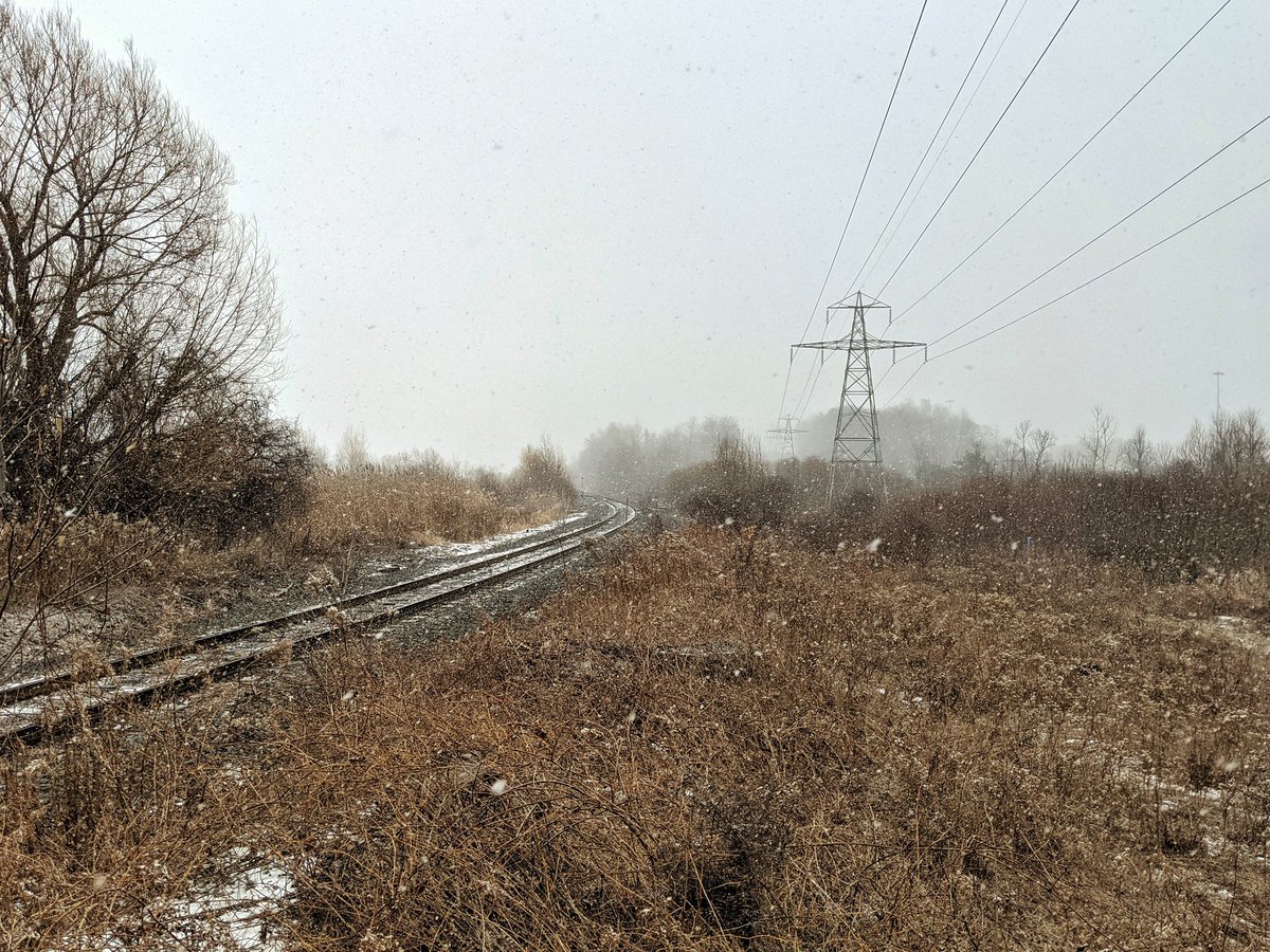
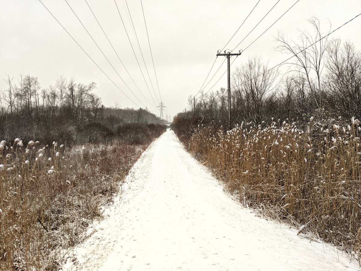
Meeting the CP Waterloo Sub, and then over King and down to the Grand River. The snow is even heavier now. There’s no pedestrian crossing here, and the north bank is private property, so it looks like another detour.


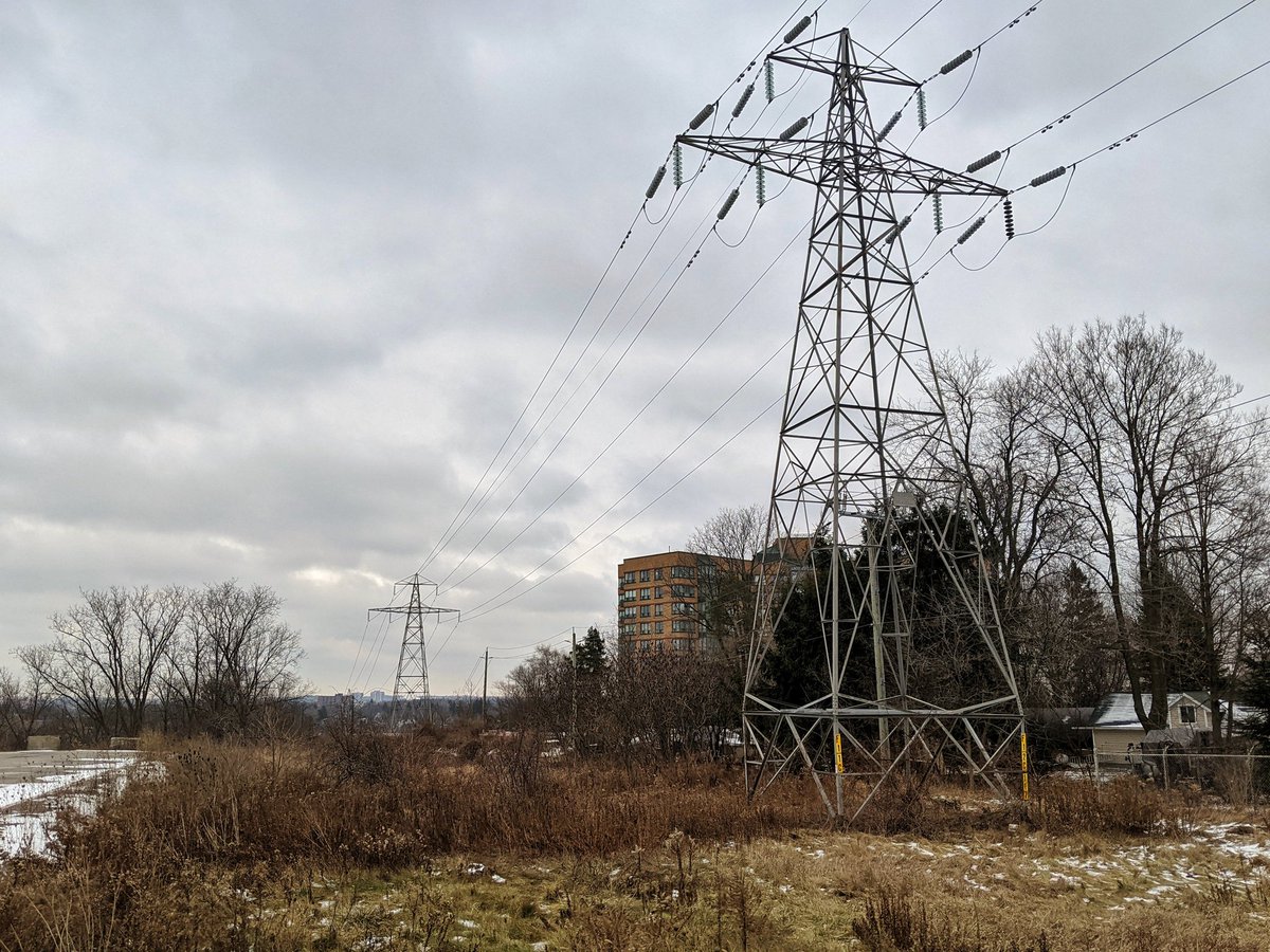
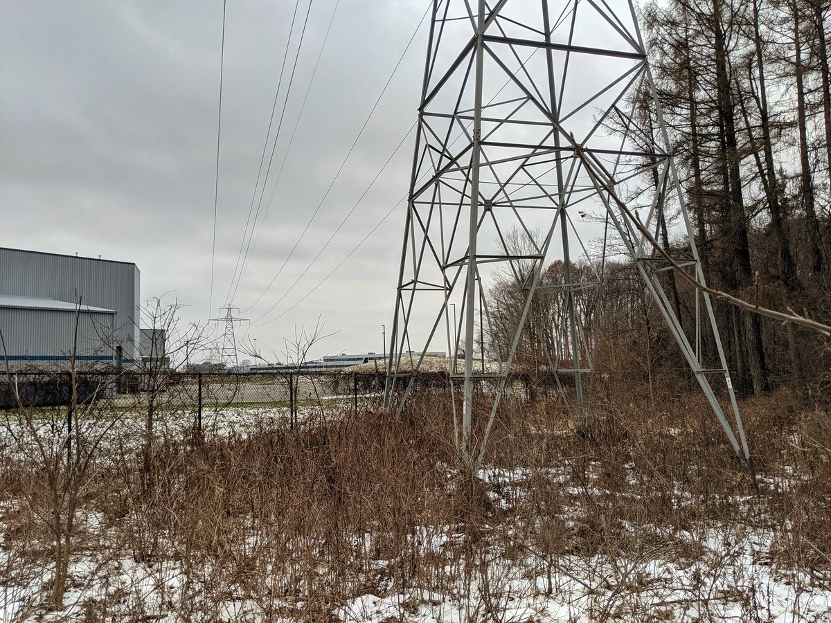
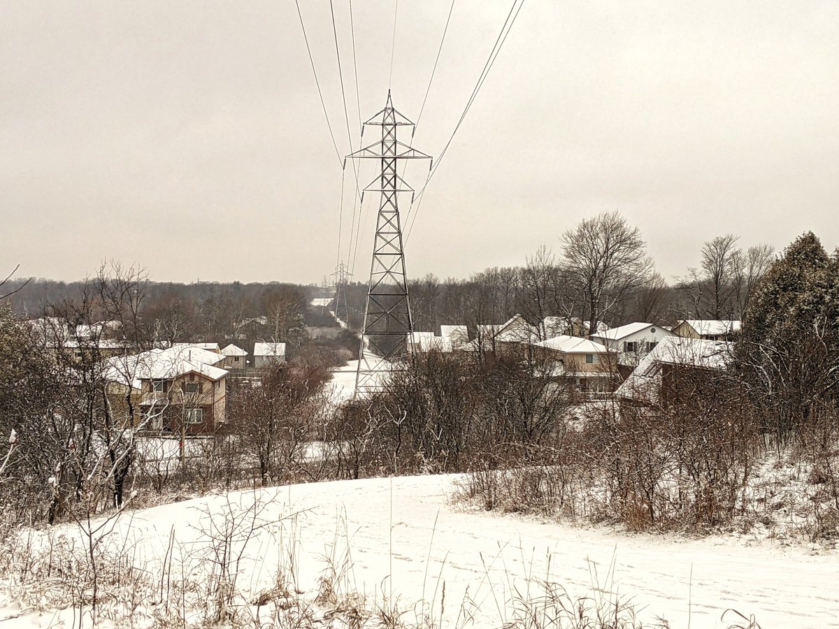
Brief glimpse of the rest of this corridor before it heads over the 8 to a transformer station south of Fairway. Then we meet the third and final hydro corridor, coming from the aforementioned transformer station, back over and to the east of the 8.


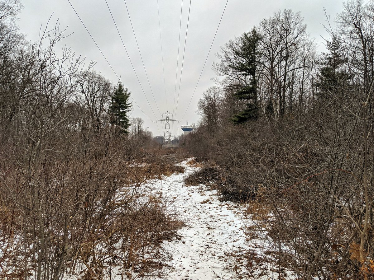
There’s a break in the snow, which is good for long range visibility. The terrain starts getting varied again as it skirts Chicopee Hills.


From the hilltops to the damp lowlands, which are the headwaters of Idlewood Creek. Then back upwards to where the corridor bends back west.

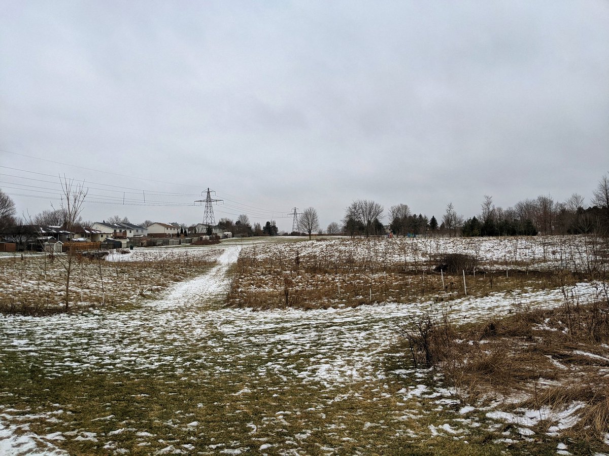
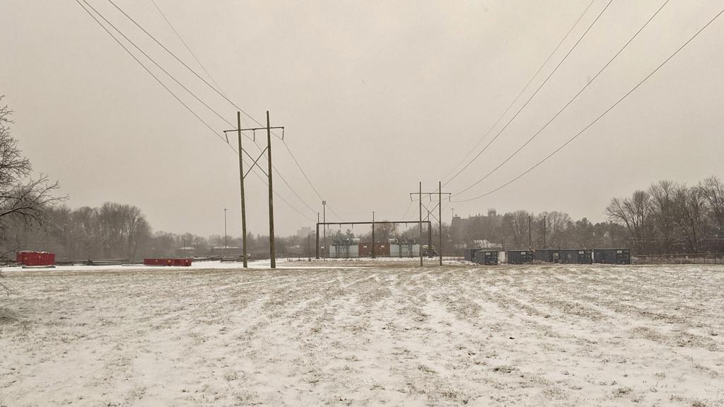
The corridor crosses over River Road. After going past a mall and community centre, it zigzags behind some houses, and comes to a fence. A transformer station is on the other side, as is a trail, but the way is blocked despite it being 165 metres away. That’s the end of today’s walk.


Date: December 19, 2020
Length: 23.7 km
Type: Utility


