Happy Thanksgiving. I’m going to take the day to be thankful for having awesome trails and greenspace like here, in the Grand River valley in North Kitchener and Waterloo. Been looking forward to this, let’s go.


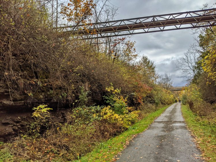
Under the tracks and Highway 7, the Grand takes a bend to the west. A solid stonedust trail follows alongside.


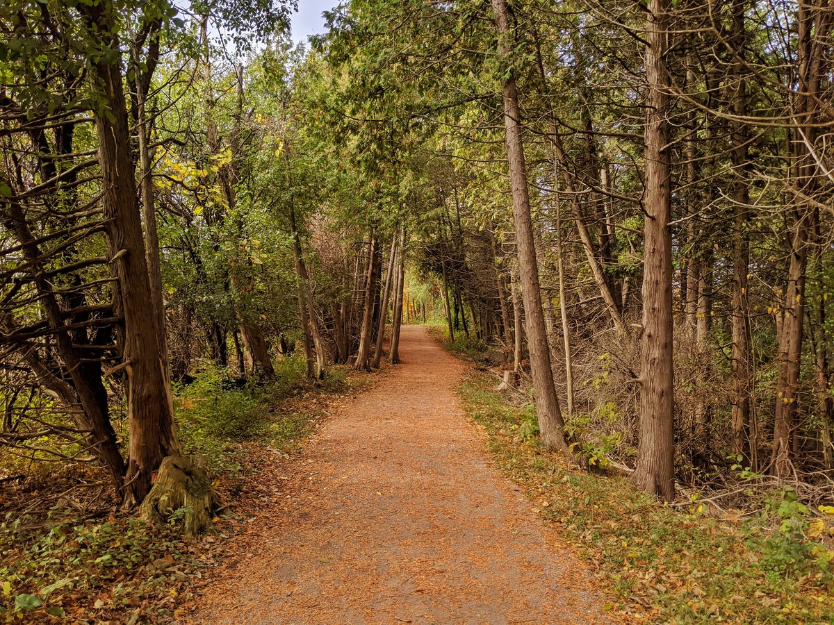
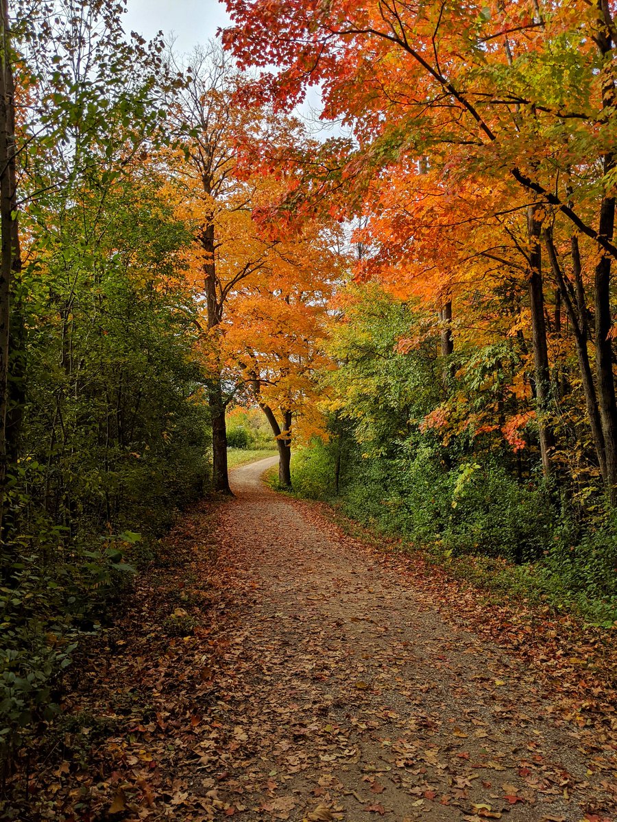
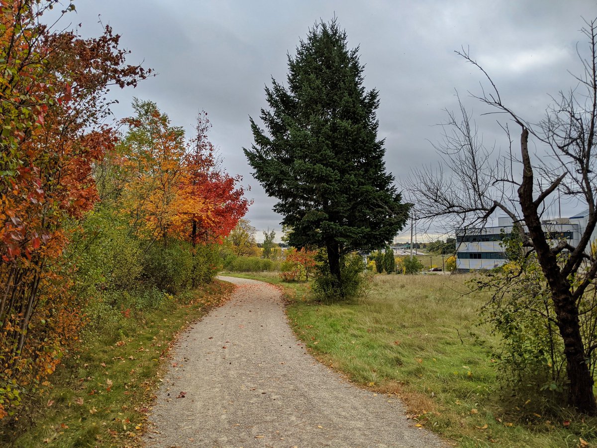
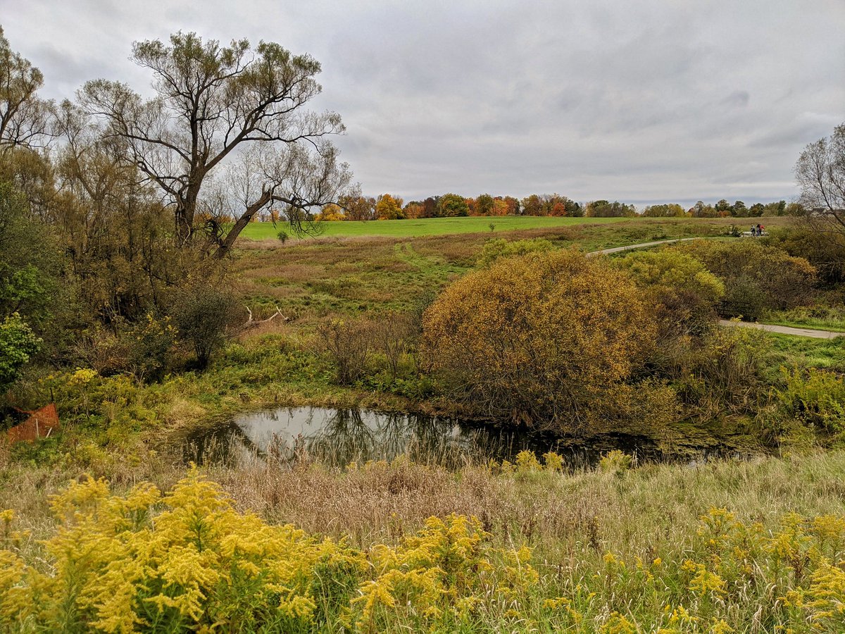
Some parts of the valley have not hit peak fall colour yet. Other parts have. The trail doesn’t stay confined to the lowlands like I expected, but the grades are relatively gentle. After some time on the tabletop, it heads back down again.


The trail comes to a campground, but fortunately public access is permitted. Meandering through past some bizarre drive-up carnival setup and a trailer ground, I get to the other side, and peaceful sights and sounds of nature resume.


More ups and downs, and a couple of side trails that got me turned around. Still mostly up and away from the river, but getting some bank shots.


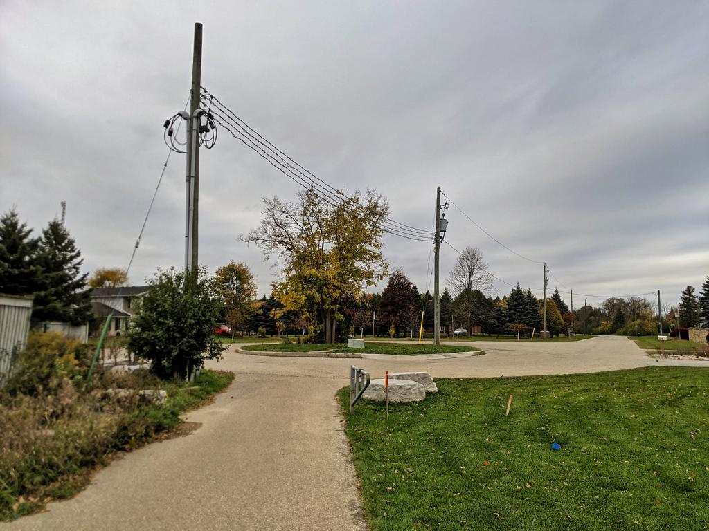
Across a drain from the Conestoga Parkway, and alongside the Lancaster Business Park. First signs of urban development bumping up against the river. Slopes are steep.


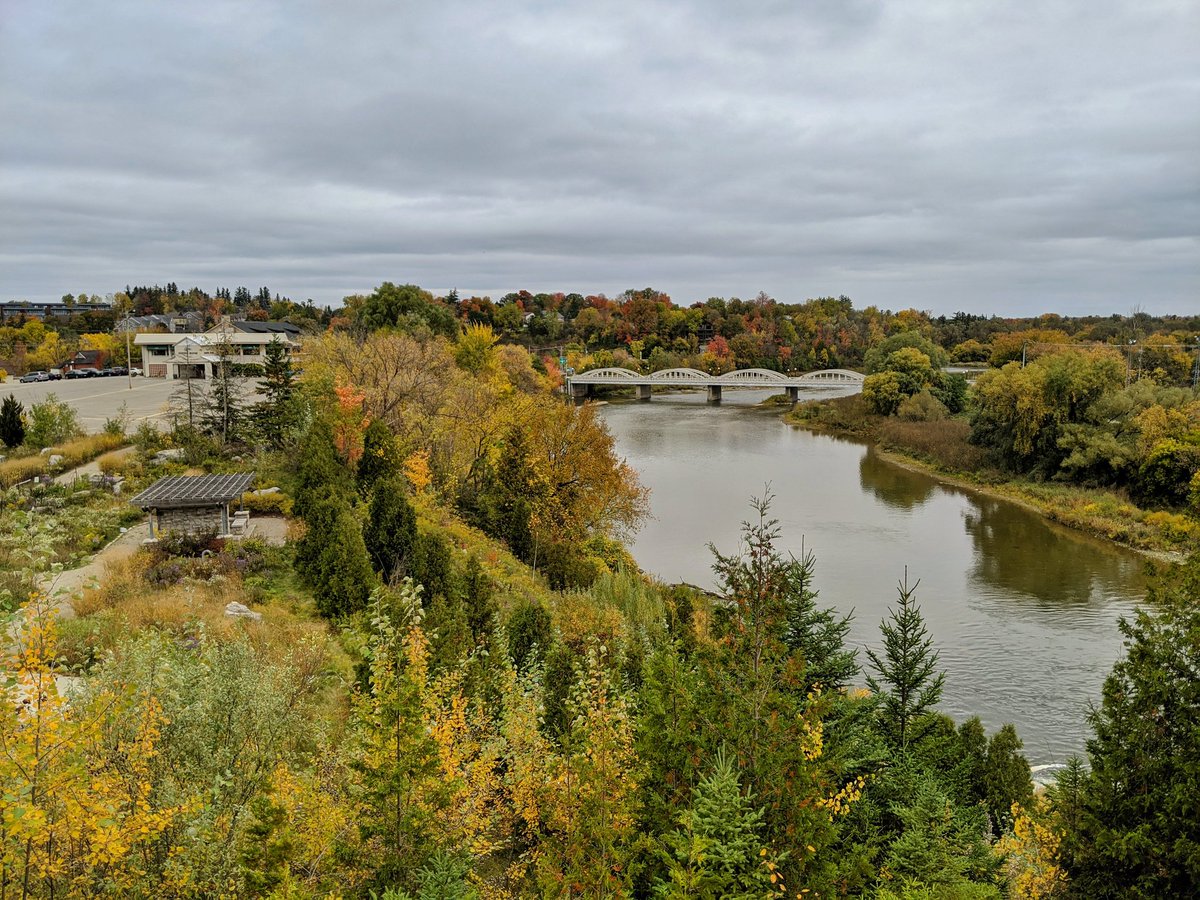
Excellent view of Bridgeport, just before you get shunted to the street. Then up some hybrid trail / driveway into Carisbrook Natural Area.


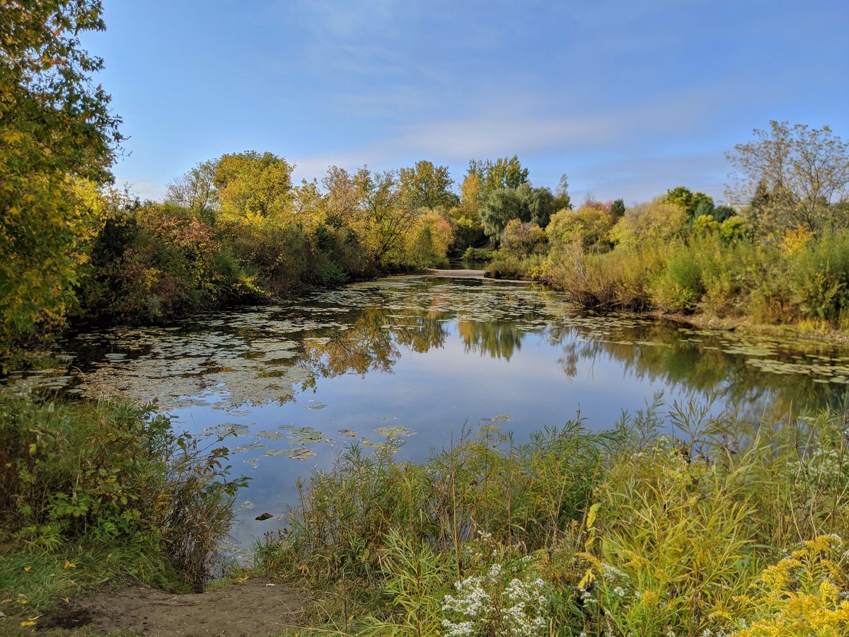
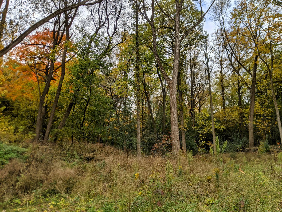
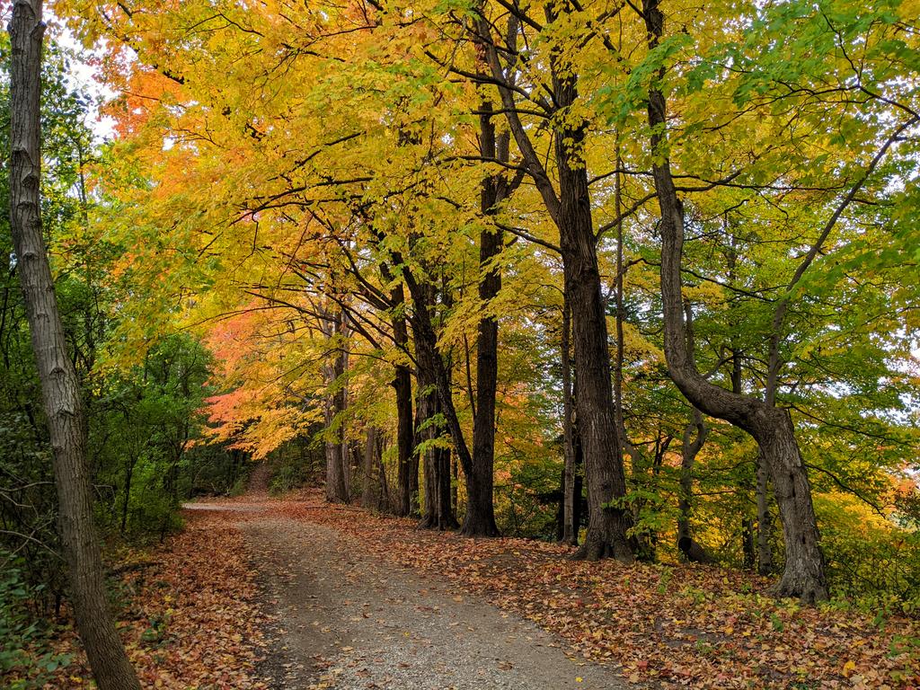
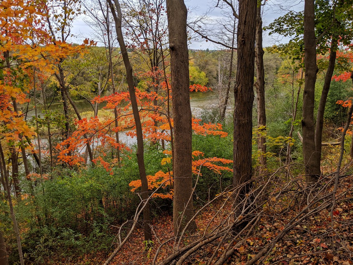
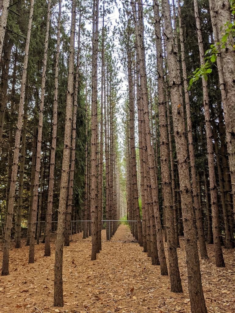
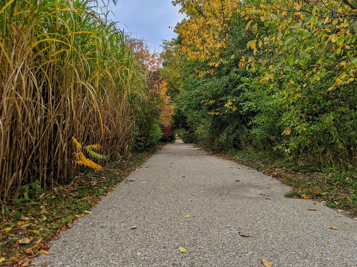
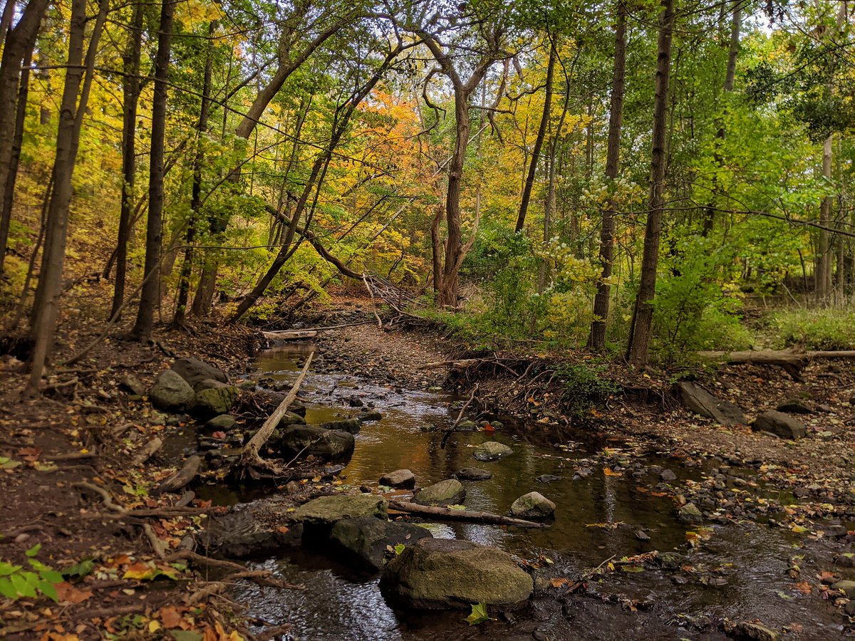
More alternation between thick forest and grassy plains. Vegetation is hanging out the yellow phase of the spectrum or has browned out already, some highlights of orange and red here and there.


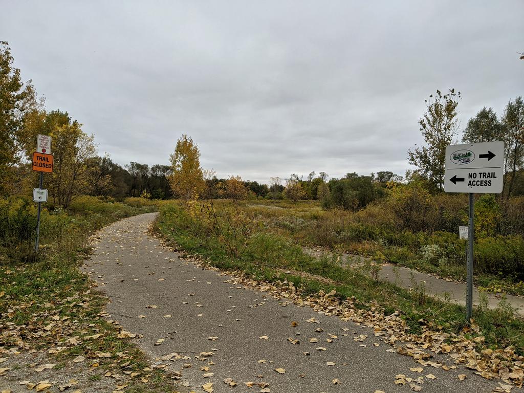
I didn’t think access to the Grand, the main trunk of the watershed, could be privatized and discouraged. But here we are.


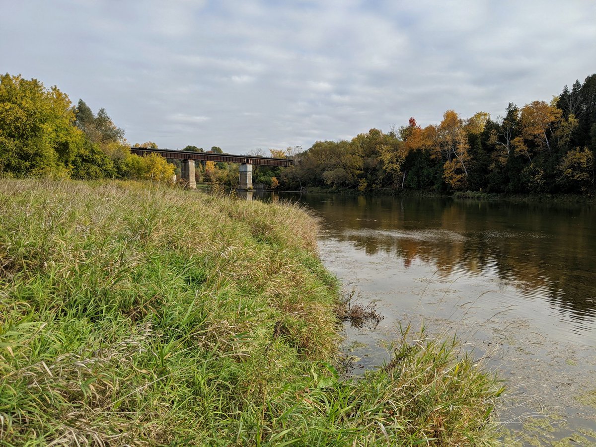
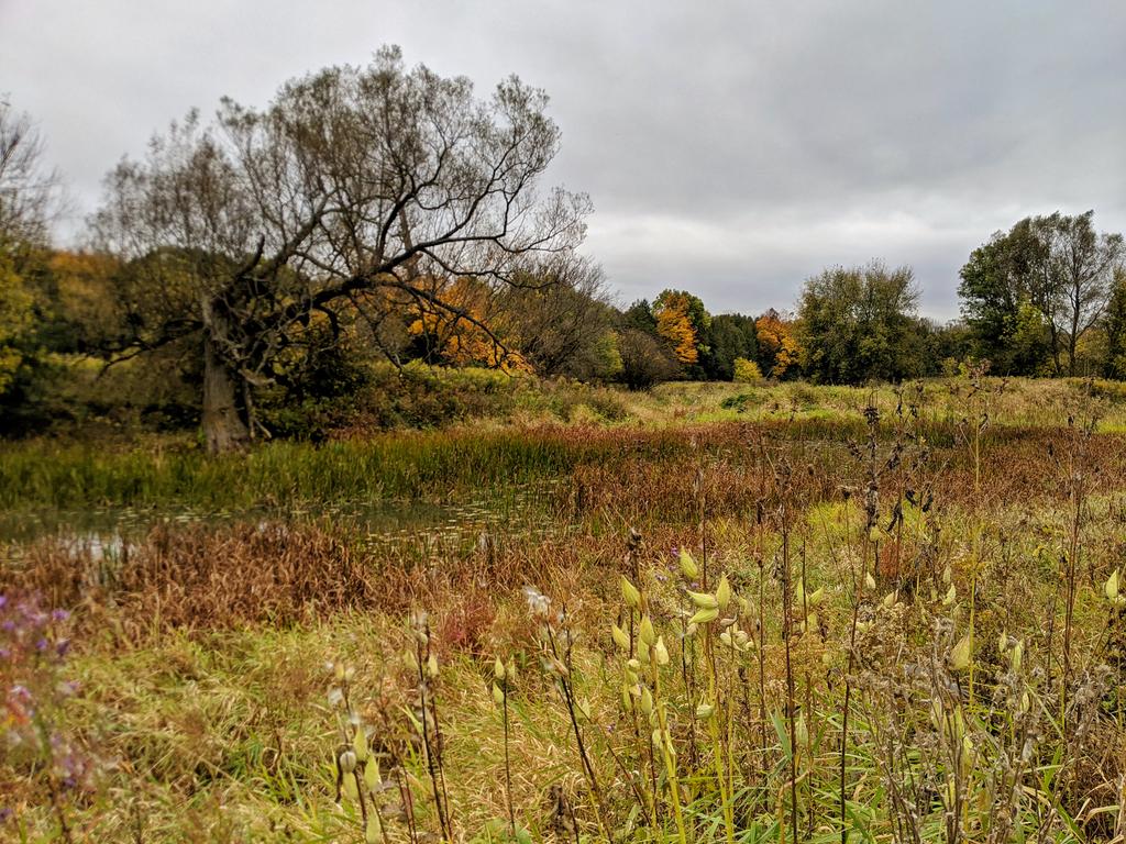
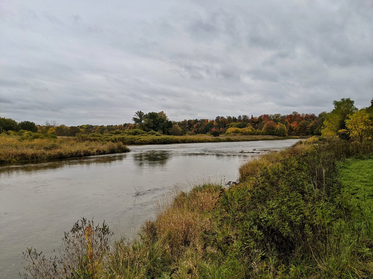
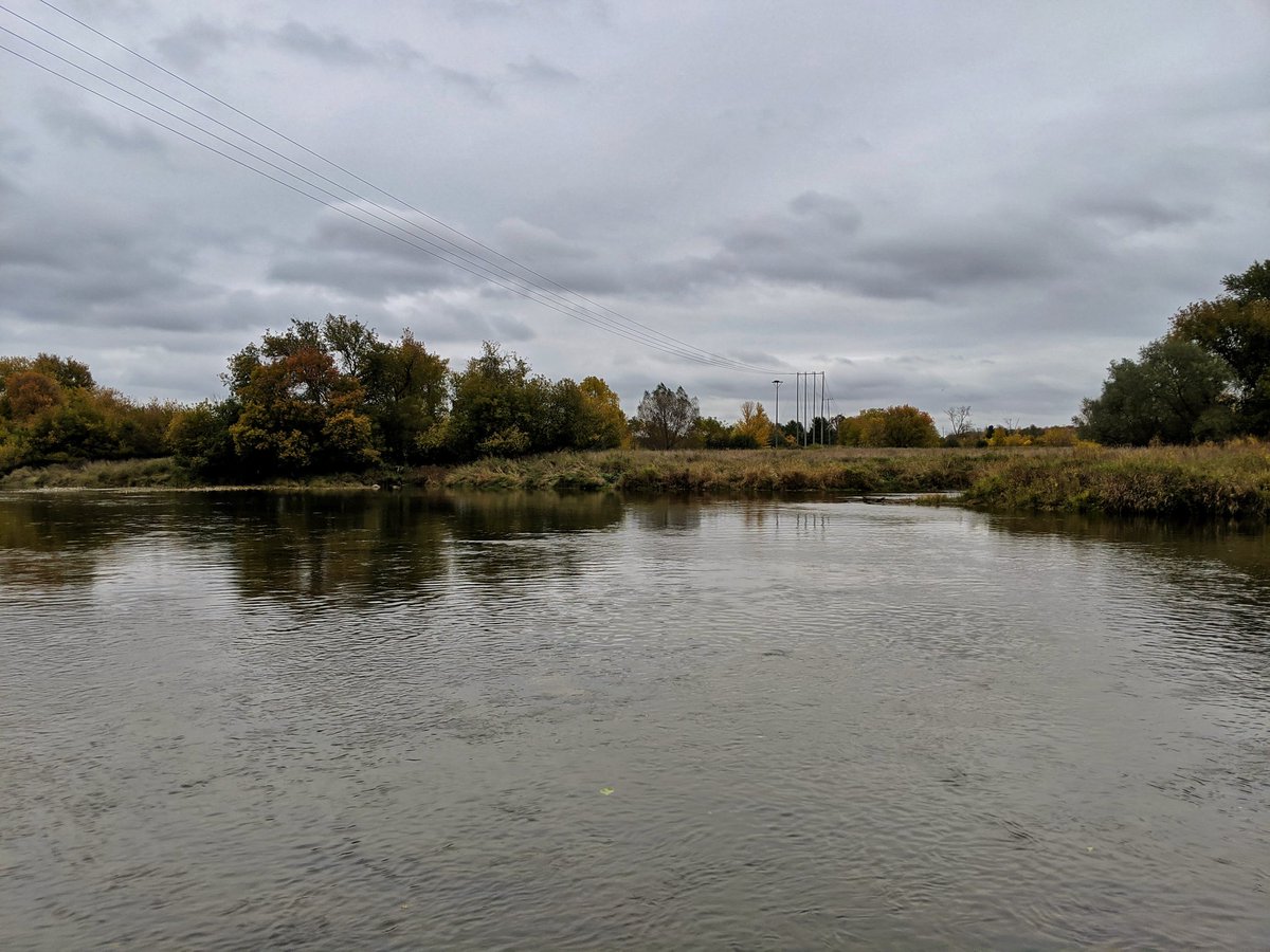
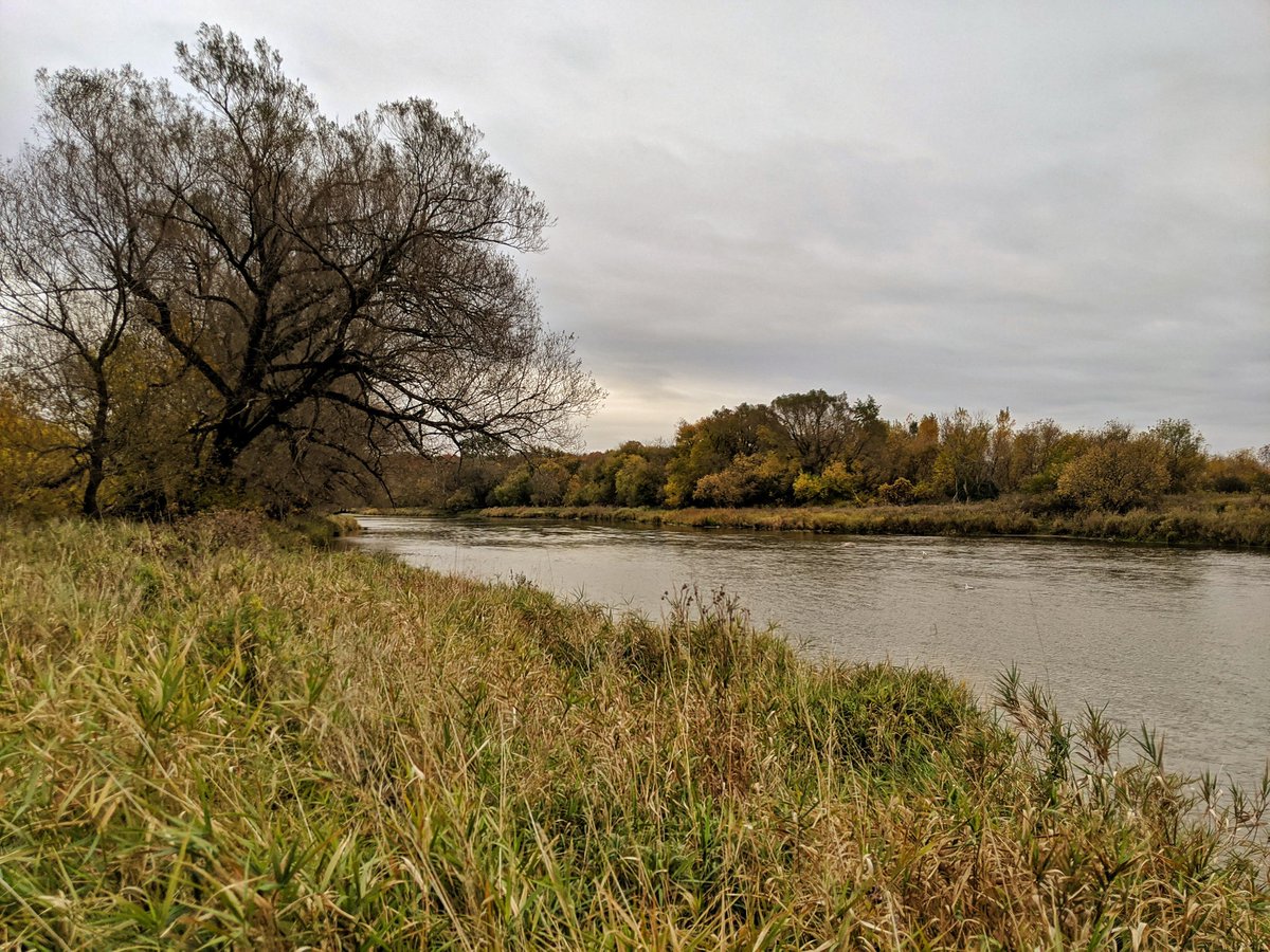
Back into the river valley. Wide open plain on the west banks, east bank is a steep slope.


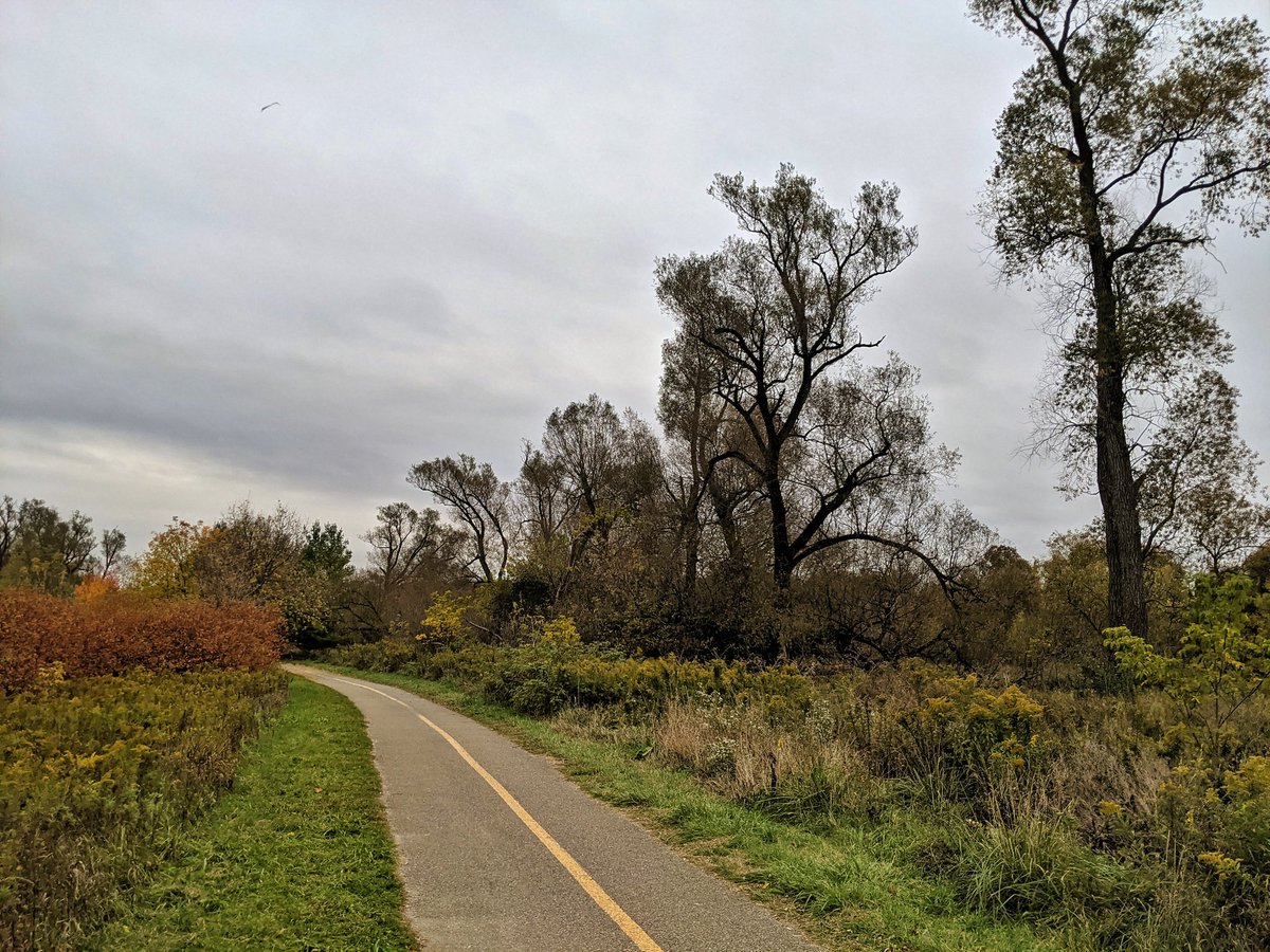
Bending back west into Kiwanis Park, where nature meets fences. Doesn’t impact access to the riverbank or the stonedust trail.


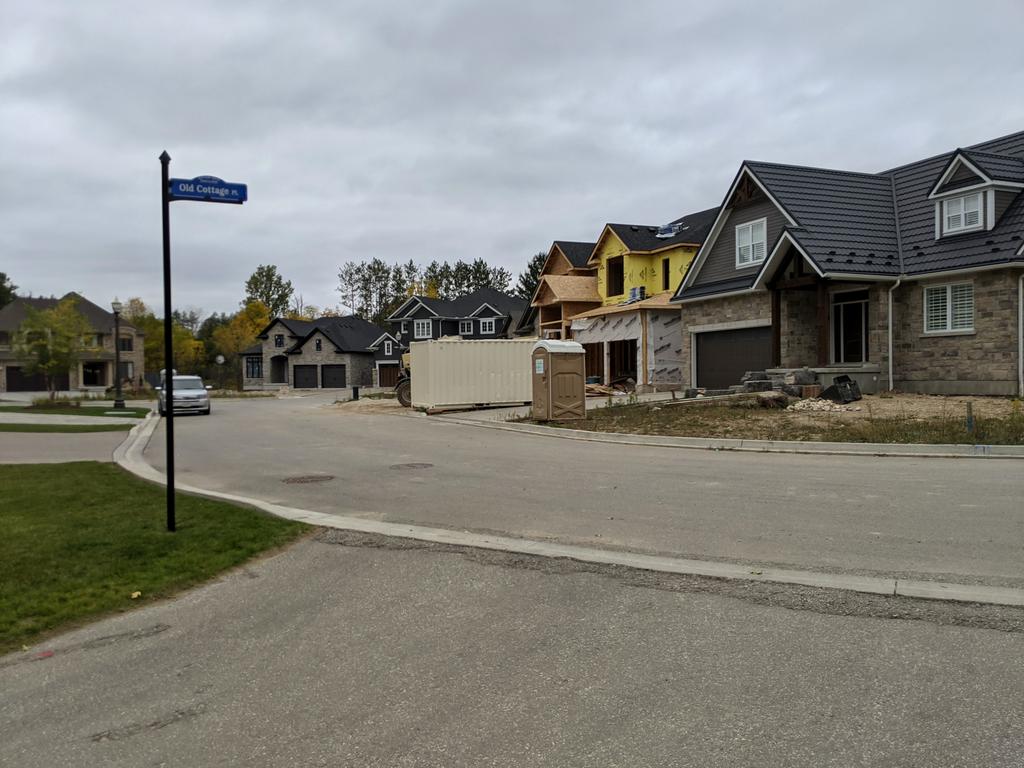
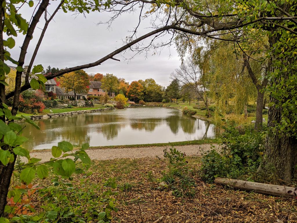
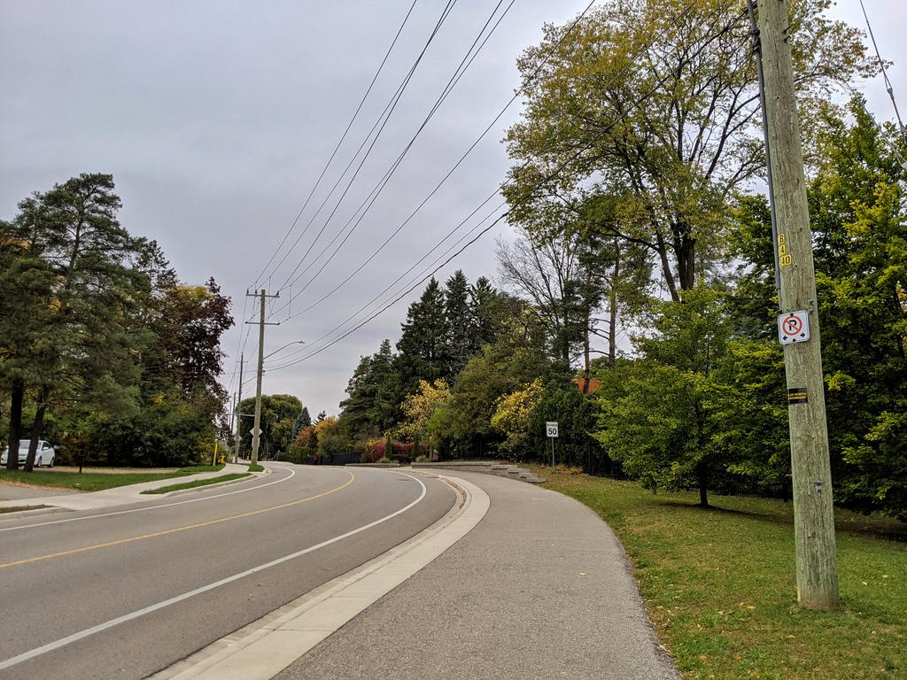
Once again, river access is privatized, this time by actual massive mansions. An average person must settle for a multi-use path beside Woolwich Street.
A tangential trail, and then a footpath down the slope into the woods. Brings you riverside again, to what appears to be the south terminus of Kaufman Flats Trail.


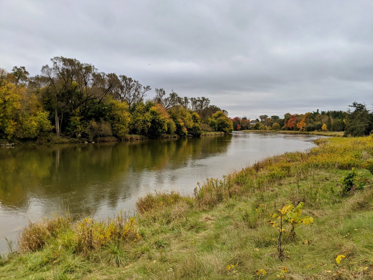
Along the outer bank, across the way from Snyder’s Flats, until you get to the next access point, which parallels a small tributary. Out of the valley and up to the road, one last time.
Up University Avenue past the fire station, to a patch of land for sale by the city. Maybe a riverside trail could come in the future. Past a farmstead that reminds me of Riverdale Farm, minus animals.


Back down into the valley, where there’s a golf course. Fortunately, public trail access is established here; it’s set back from the riverbank at first, but makes its way. Blown away by the foot traffic, it’s pretty heavy for being tucked away in the northeast corner of Waterloo.


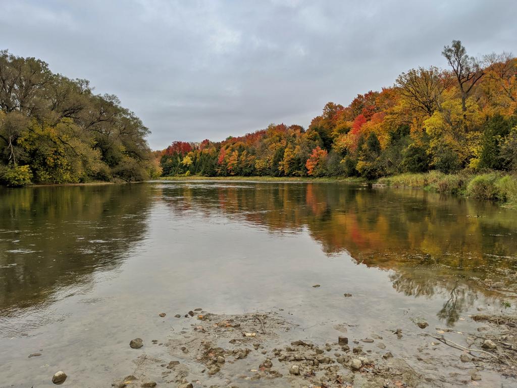
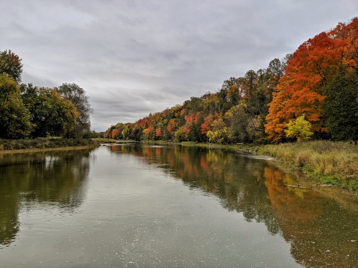
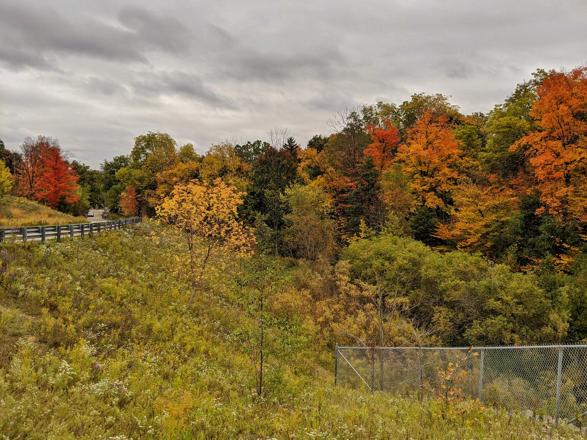
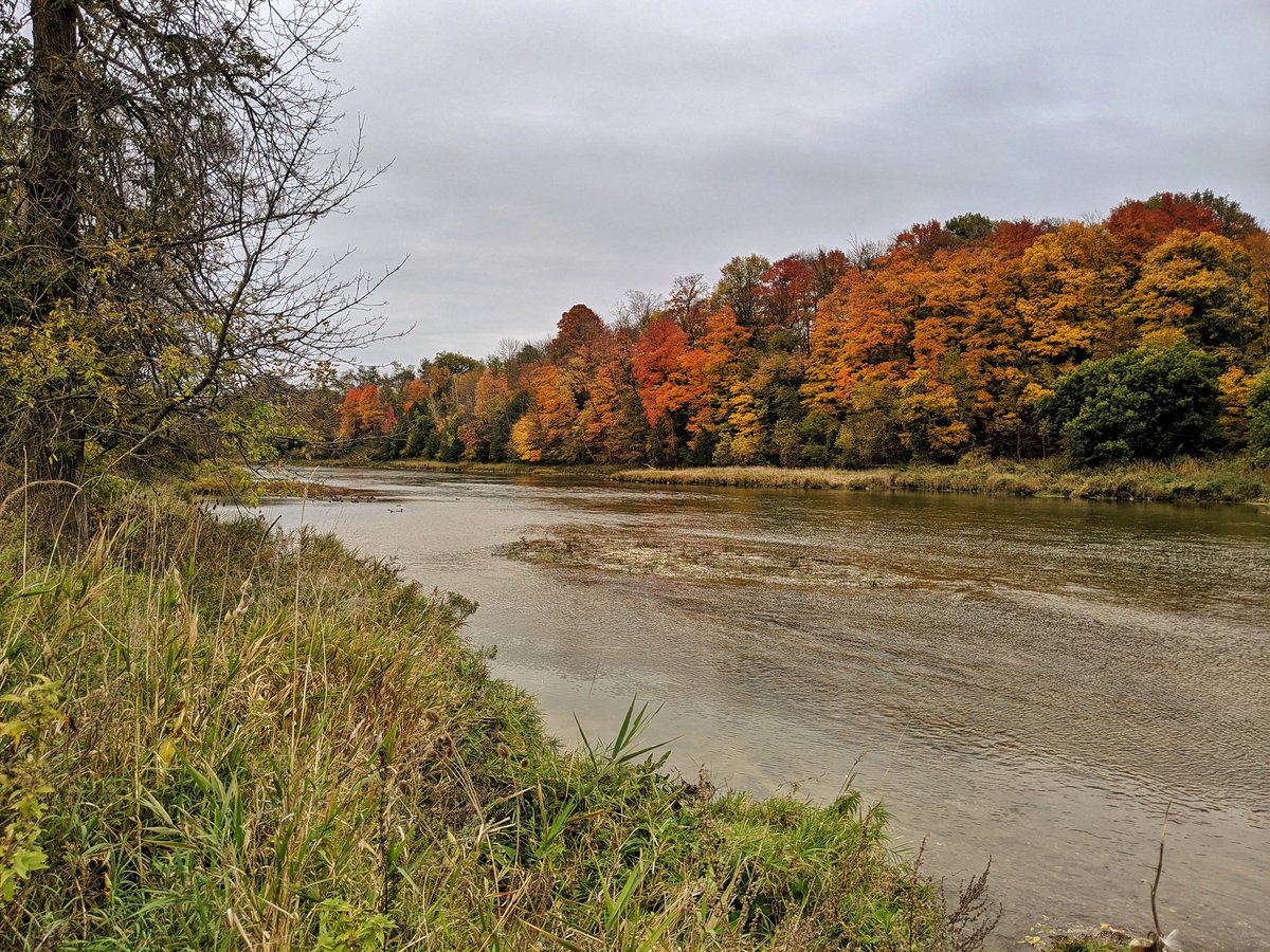
About 120° or curvature along the riverbank, well shielded from the golf green and with great views of the Grand, fall colours are stronger here.


One more diversion from the riverbank, but it’s short. Back onto a trail paralleling Grand River Drive, which brings you right to the exact geographic northeast corner of Waterloo. Across Country Squire Road towards University to get home. That ends today’s walk.


Date: October 12, 2020
Length: 24.8 km
Type: Riverine