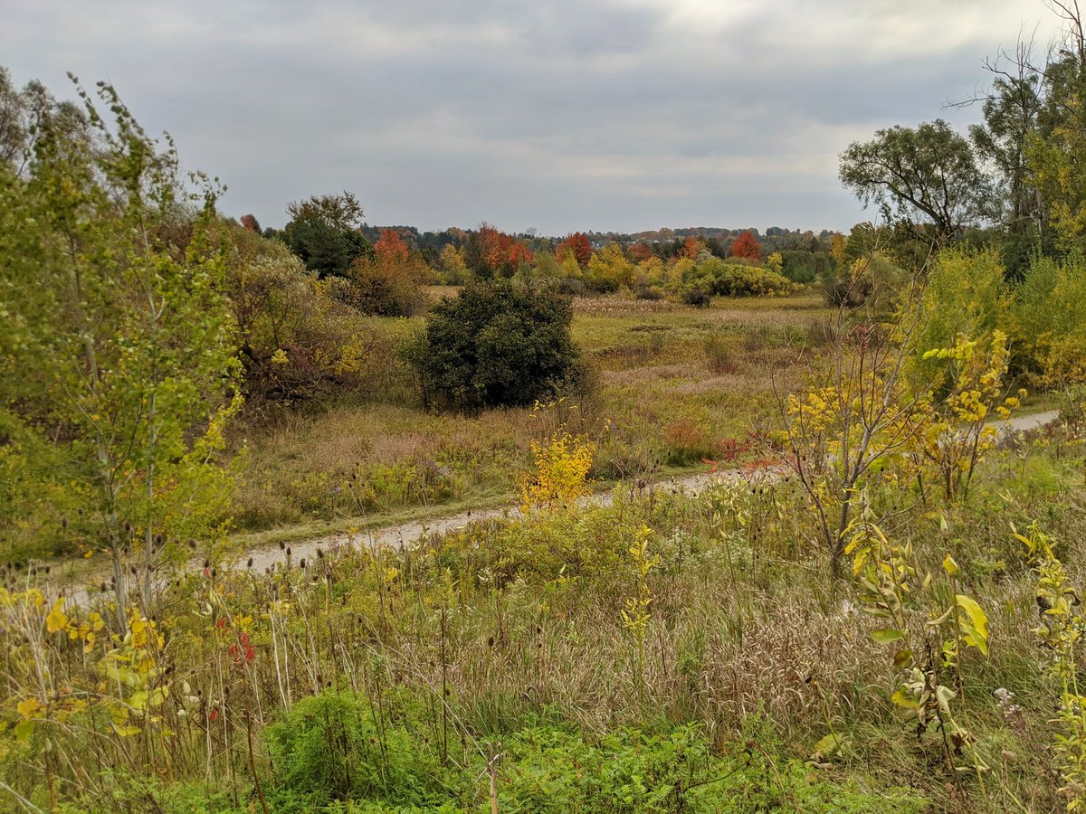
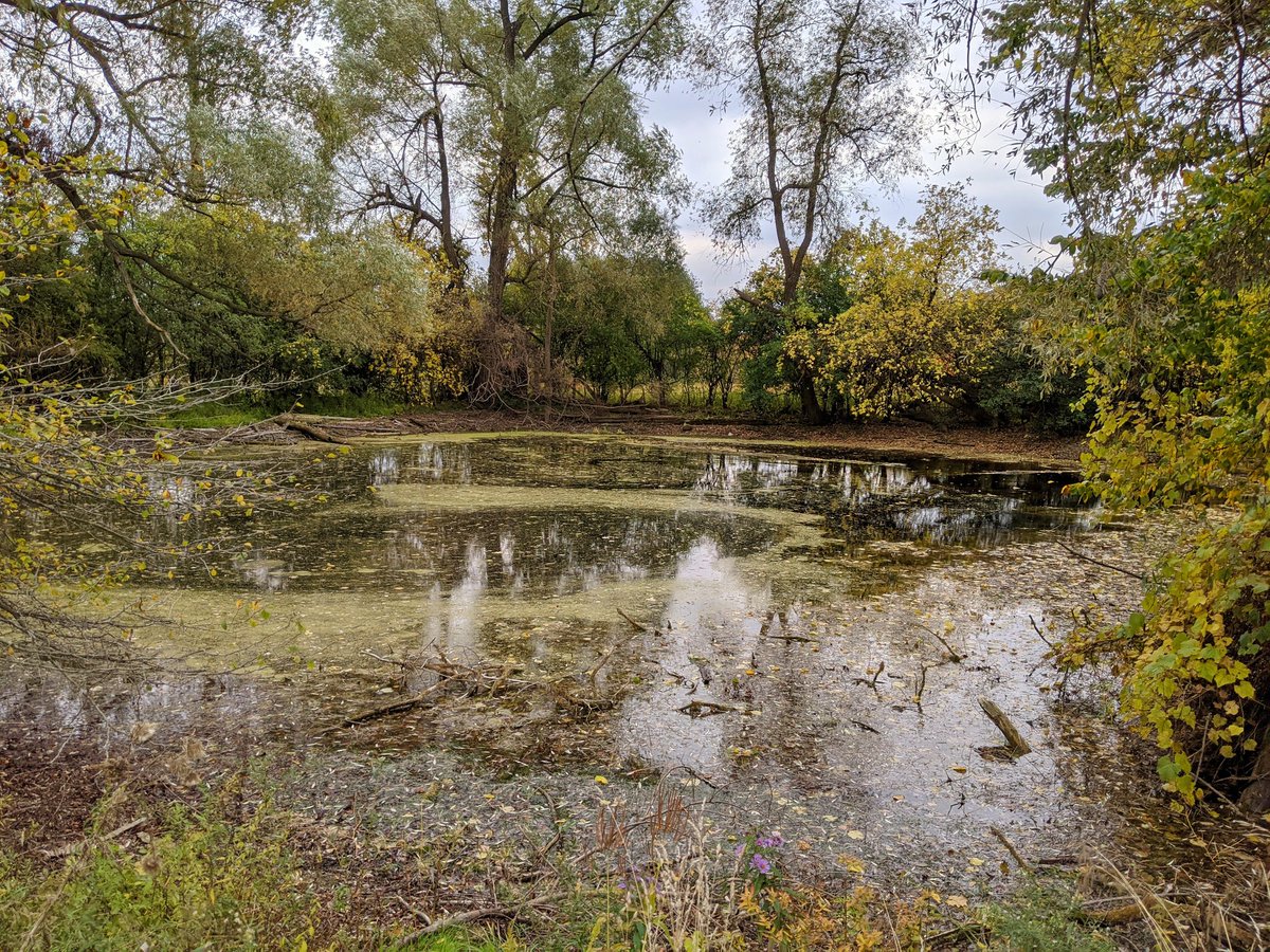
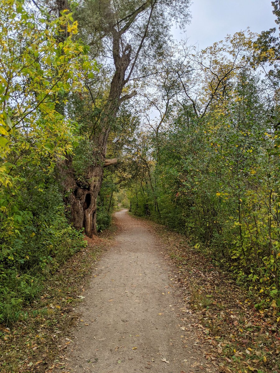
Good afternoon. I’ll be walking down the Speed River in Cambridge. It crosses the city’s north border at Black Bridge Road, I’ll start southwest of here, taking the trail on the other side of the tracks. Let’s go. In the Black Bridge neighbourhood, there’s not much to see of the river. The trail is west of the tracks, because the other side is a low floodplain and wetland. There’s a couple stormwater ponds, and some fall colours though.


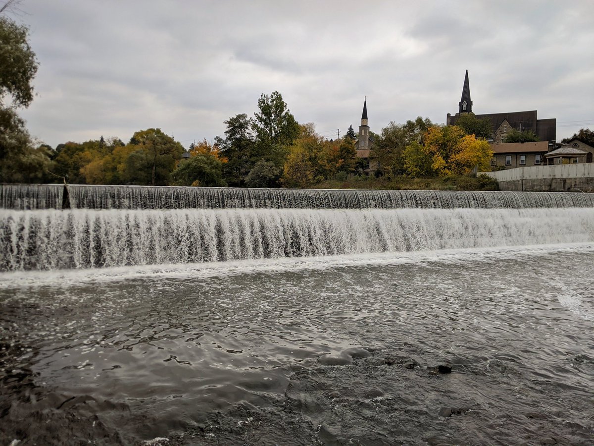
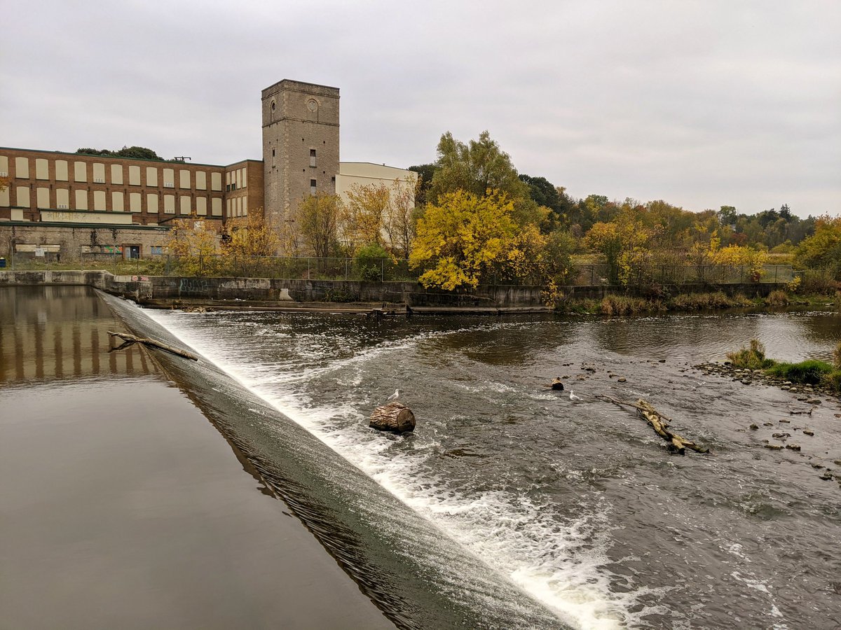
First peek of the river at a high point. The trail eventually comes down to meet the tracks, bringing you to the side of Hespeler Mill Pond. This is created by, as the name implies, a dam (weir) from an old mill. Makes for a pretty waterfall.


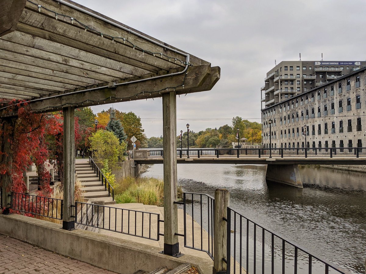
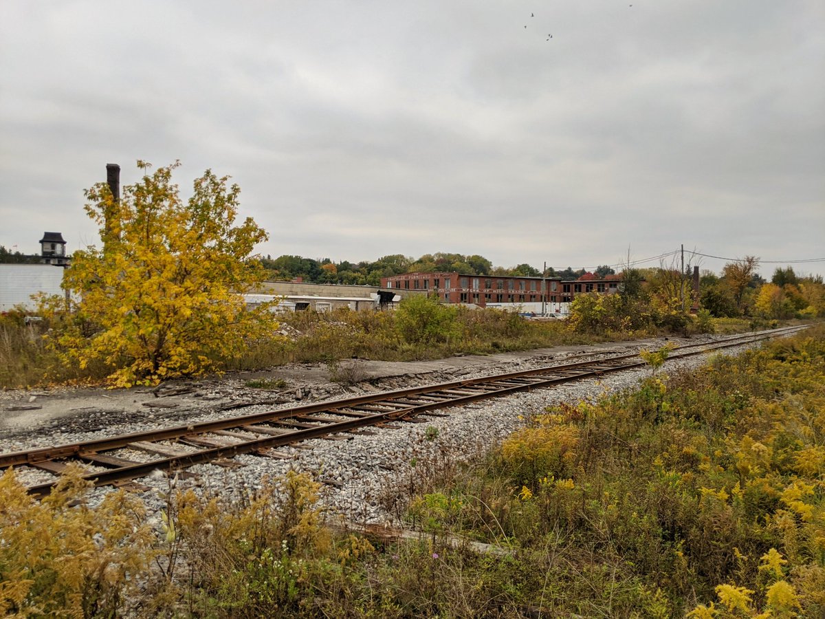
Jacob’s Landing, a public park adjacent to former industry. Very picturesque, but lacking proper connection to the riverside. You gotta go back to Guelph Street and take the formal trail west of the tracks again.


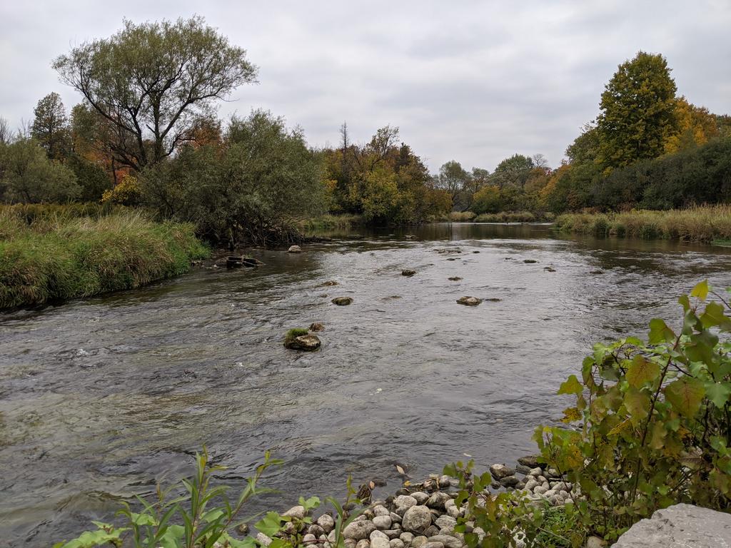
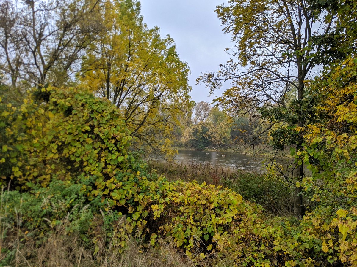
Chilligo Conservation Area. This is where the Fergus Spur crosses the river to the south bank. The trails are a ‘pick your own adventure’: dirt hiking path on top of a berm, or stonedust trail in the lowland.


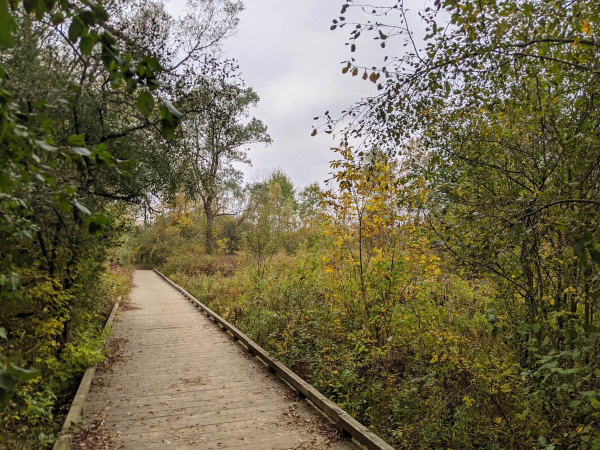
Past another small weir. Only one trail now. Lots of boardwalks and bridges over wetlands, Chilligo Creek, and various other little streams.


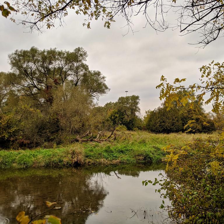
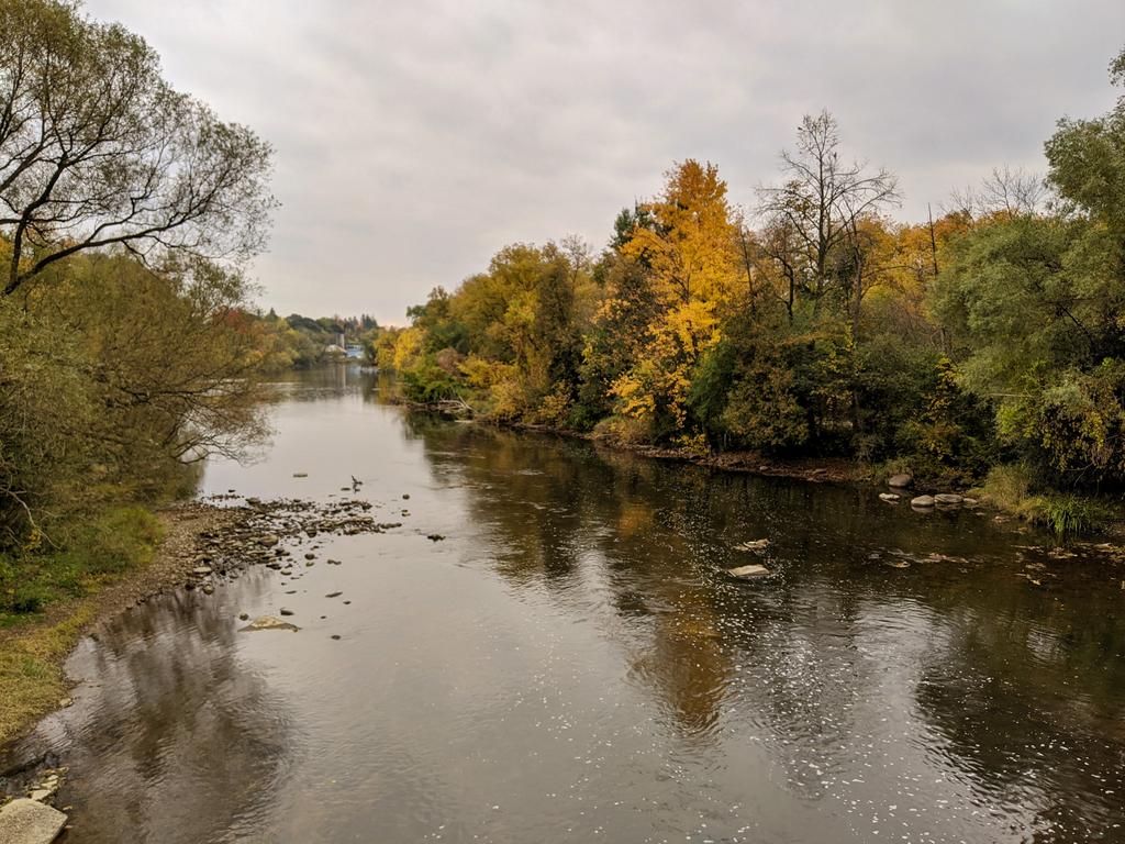
To Road 24, meeting a hydro corridor, and across the river. Stonedust trail continues on the south bank. Trees continue to be old and thick.


More riverine corridor wetlands. Then the river has a bit of a bend to get under the 401. Twelve lanes to get under, reminds me of the riverine underpasses in Toronto.


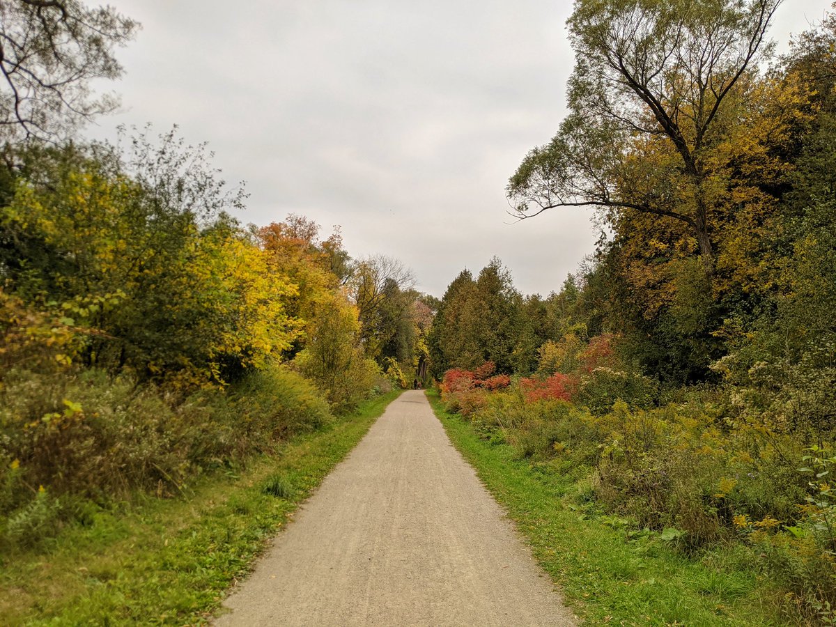
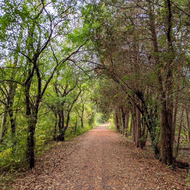
The roar of the expressway de-intensifies, but remains a dull hum in the background. Still a good quality dirt trail with thick vegetation.


Across the river back to the north bank, taking the back way into Riverside Park. Things widen out because of yet another dam (weir), the third one from the city limit to it’s confluence.


Riverside Dam. There was much debate over whether to rebuild it or naturalize the river, the former option won out. Not sure of the current status. Switching back to the south bank yet again.


Rain picked up, so this last stretch was a bit rushed. The Speed curves south and meets the Grand. And that’s the end of today’s walk.


Date: October 10, 2020
Length: 11.8 km
Type: Riverine


