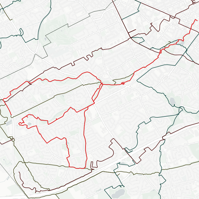
Good morning. I will be following Henry Sturm Creek and its tributaries today. Henry Strum itself is a tributary of Schneider Creek. I will be starting at Victoria Park where the confluence / name change occurs. Let’s go.
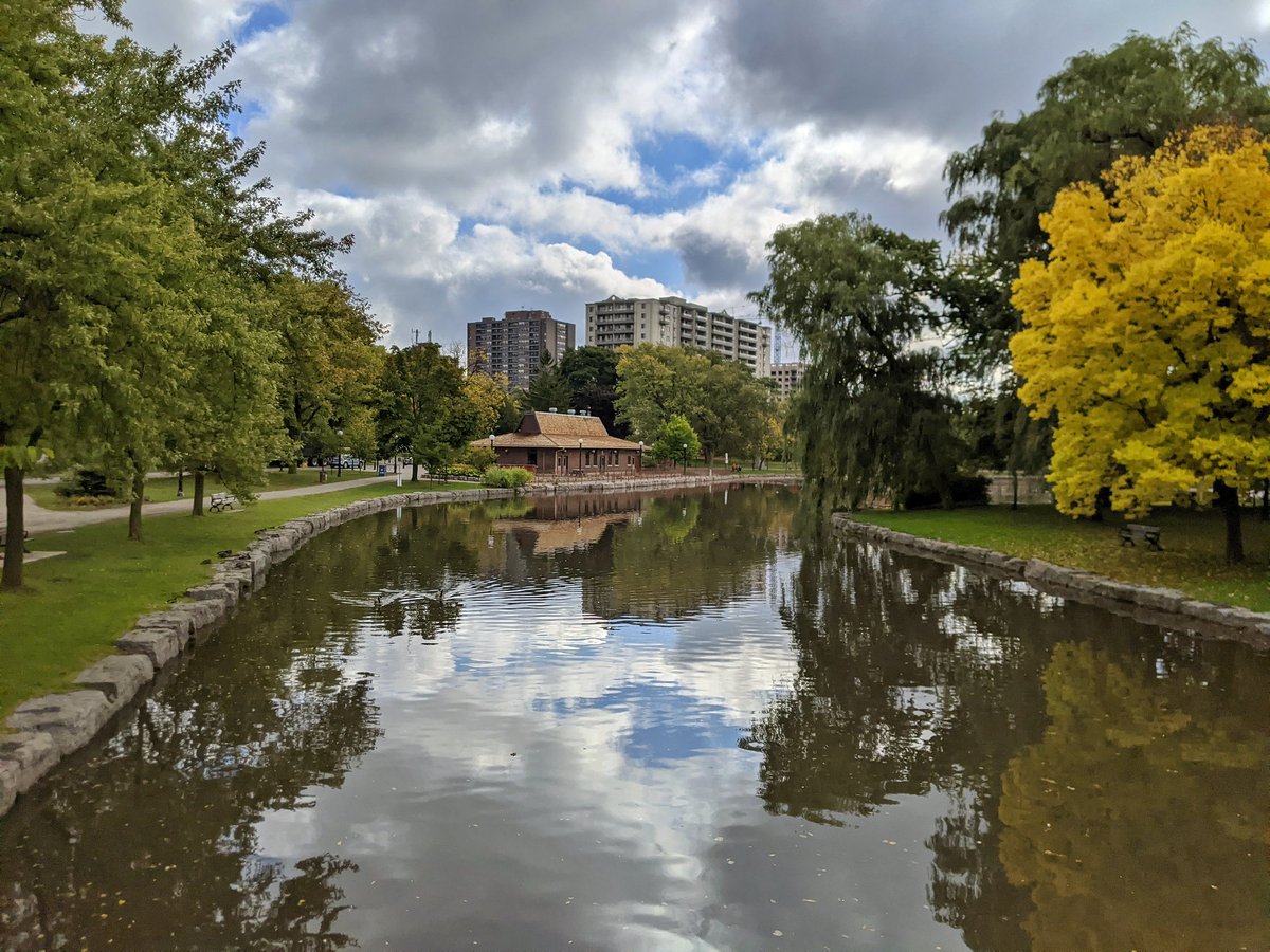
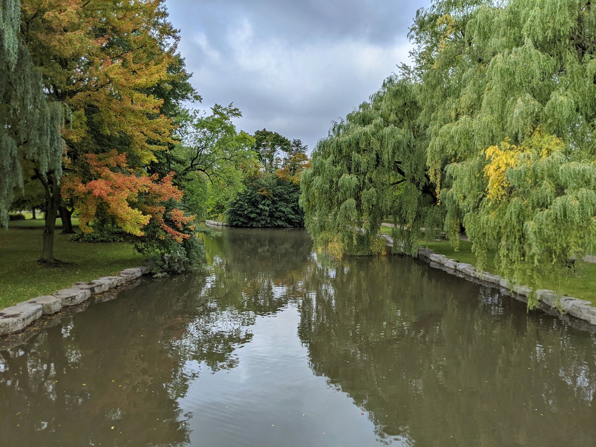
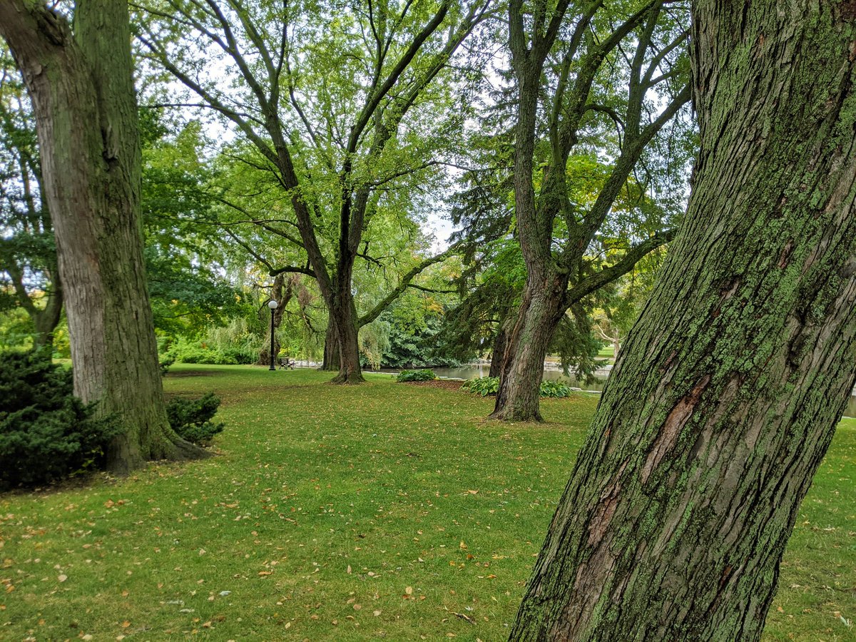
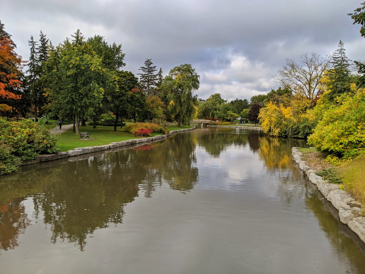
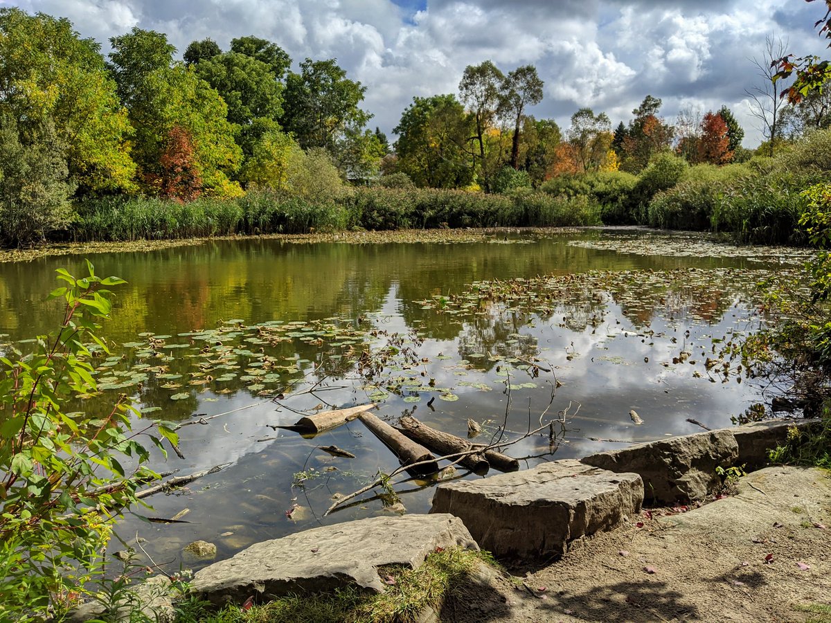
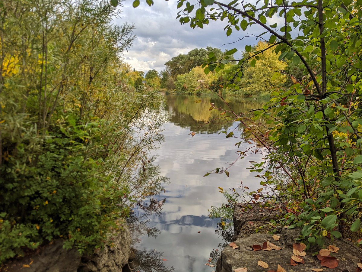
Victoria Park Lake. It’s a little stagnant as of late due to the lack of rain, but last night’s showers have helped. Schneider Creek is downstream, upstream is Henry Sturm, as well as Westmount Creek which drains lands to the north.
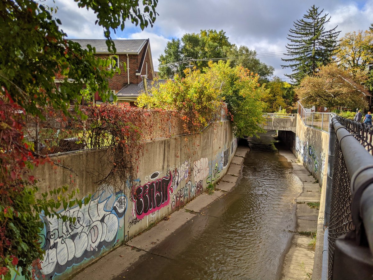
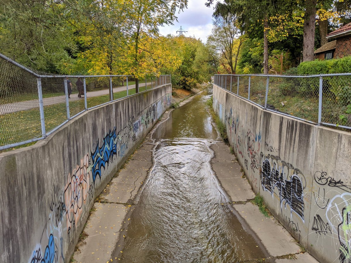
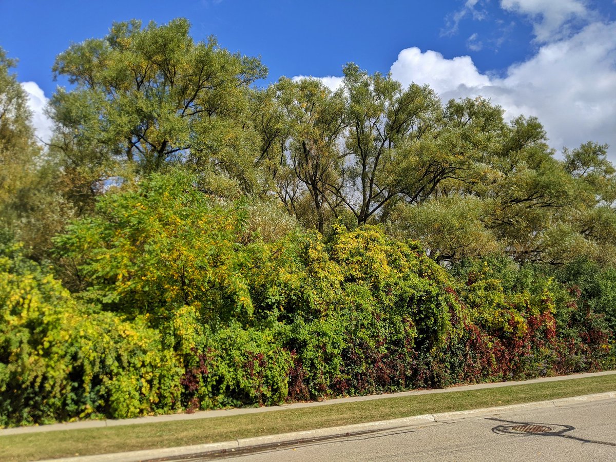
Confluence; Westmount Creek to the north, Henry Sturm to the west. The latter seems to be the higher order stream, which again is making me think the creek is changing names rather than being a true tributary. Anyway, it goes into a concrete channel much like its parent stream.

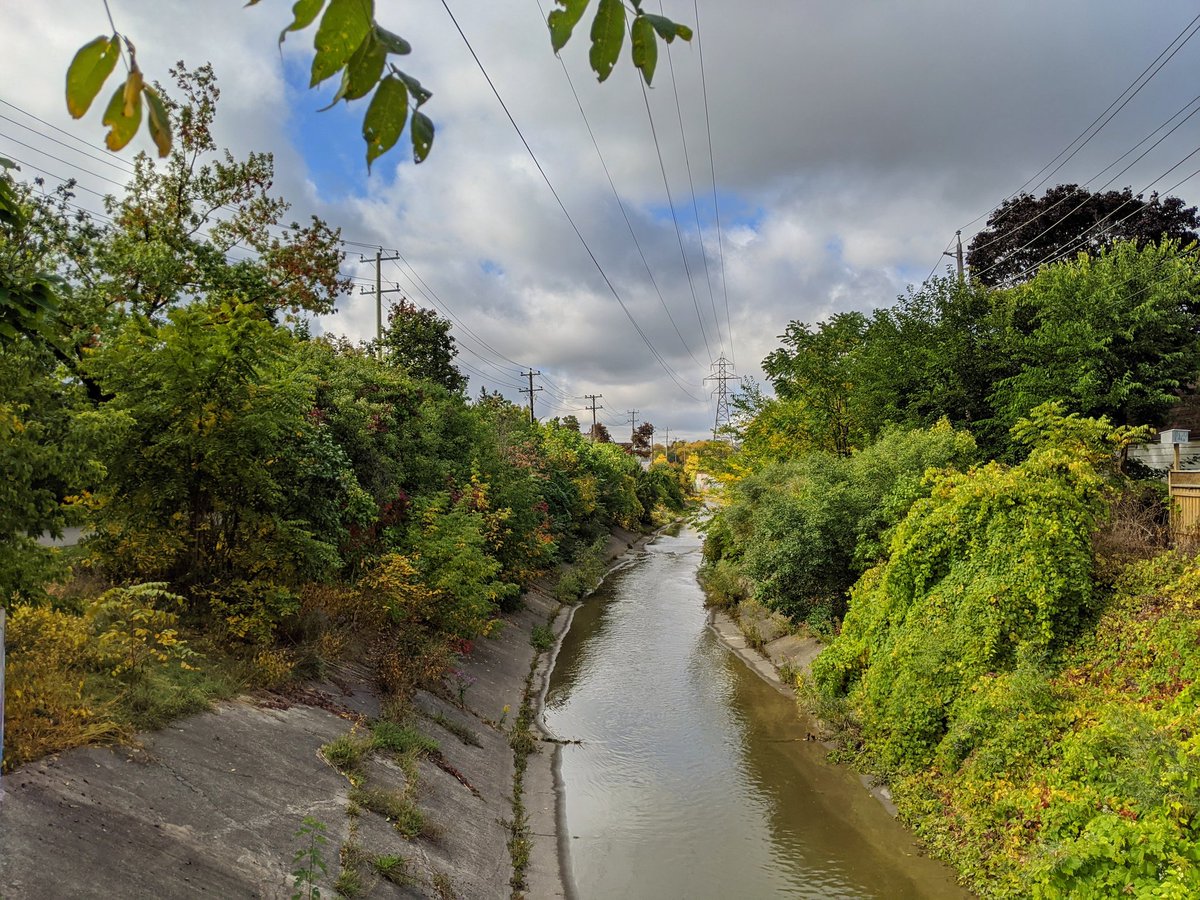
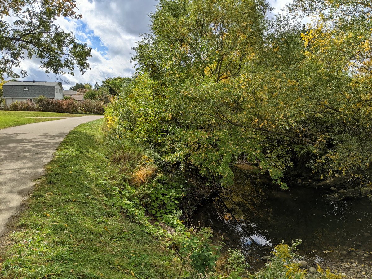
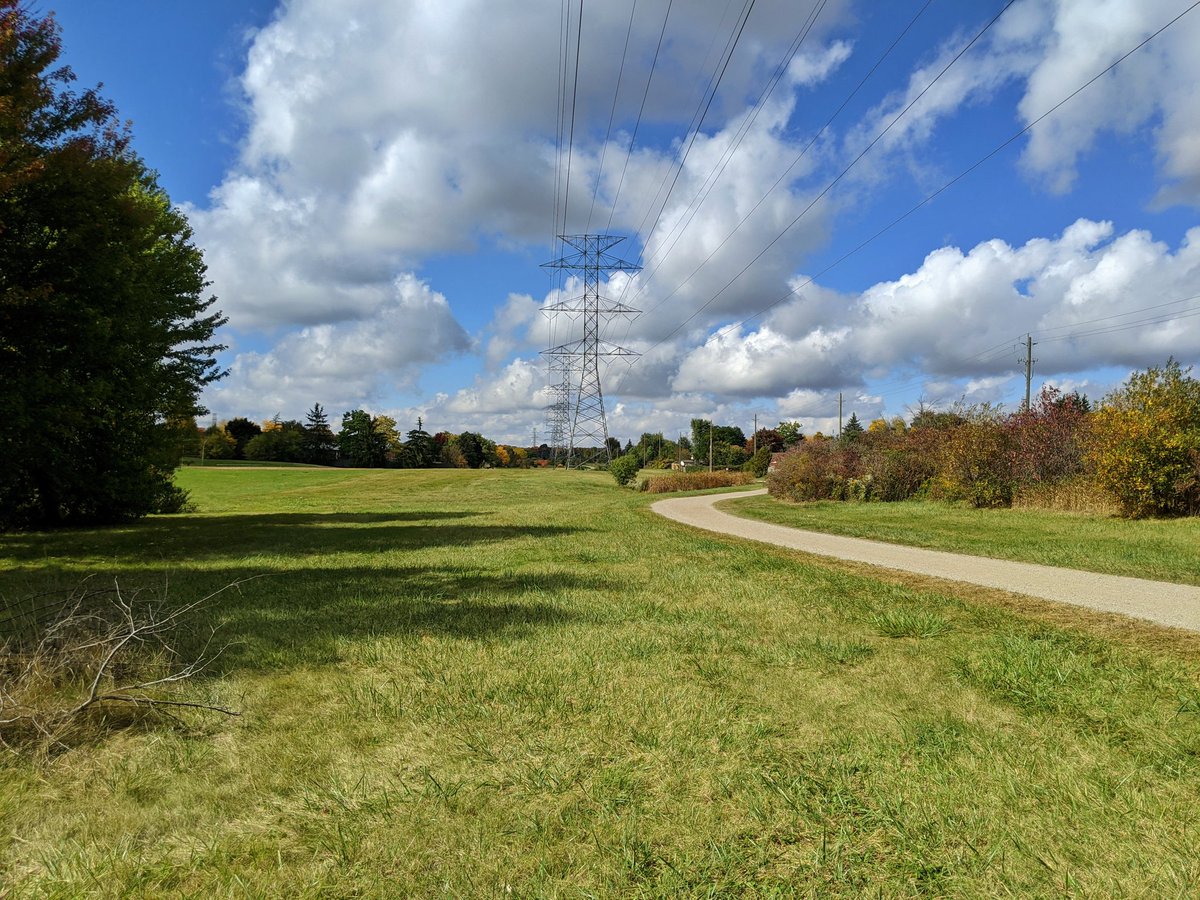
The creek parallels a hydro corridor for a bit, before it splits north. Concrete banks start disappearing, but there are brick beds still.

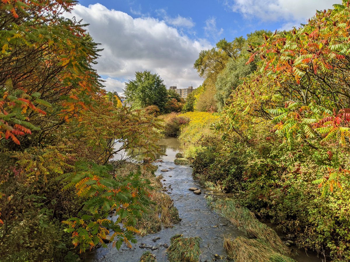
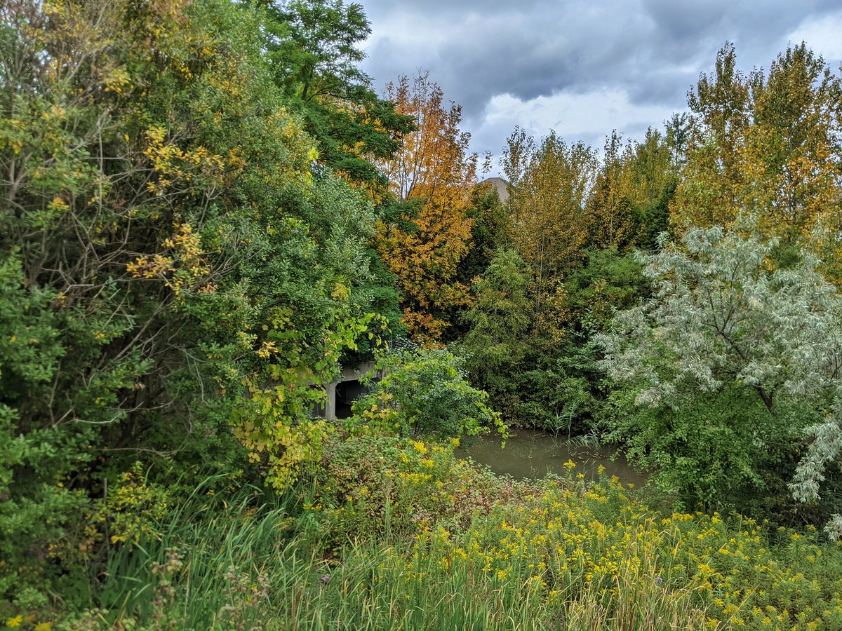
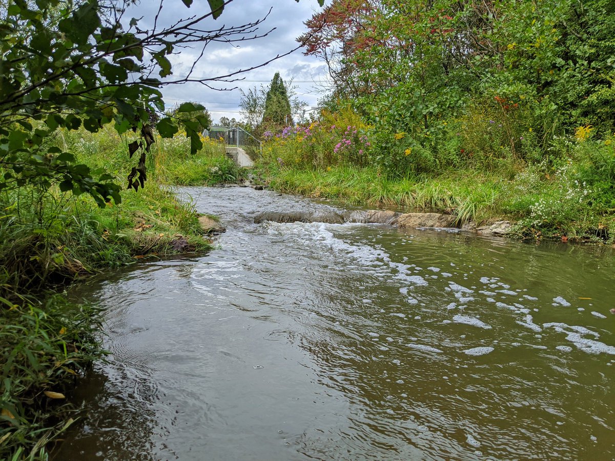
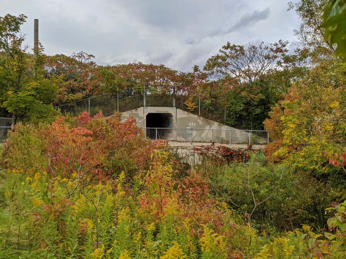
…I doubted this culvert was part of the trail. Past Westmount Road, the channel used to be concrete, but was naturalized by the city. This is also the confluence between Henry Sturm and Sandrock Creeks; I’ll follow the latter, and loop back here later.

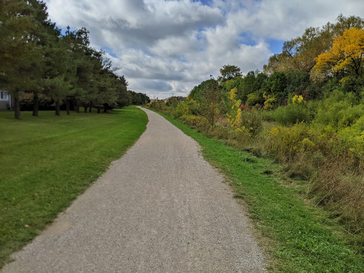
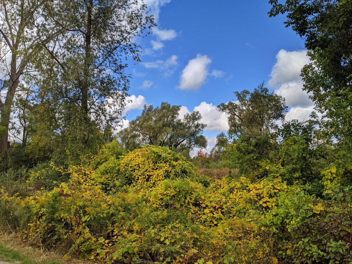
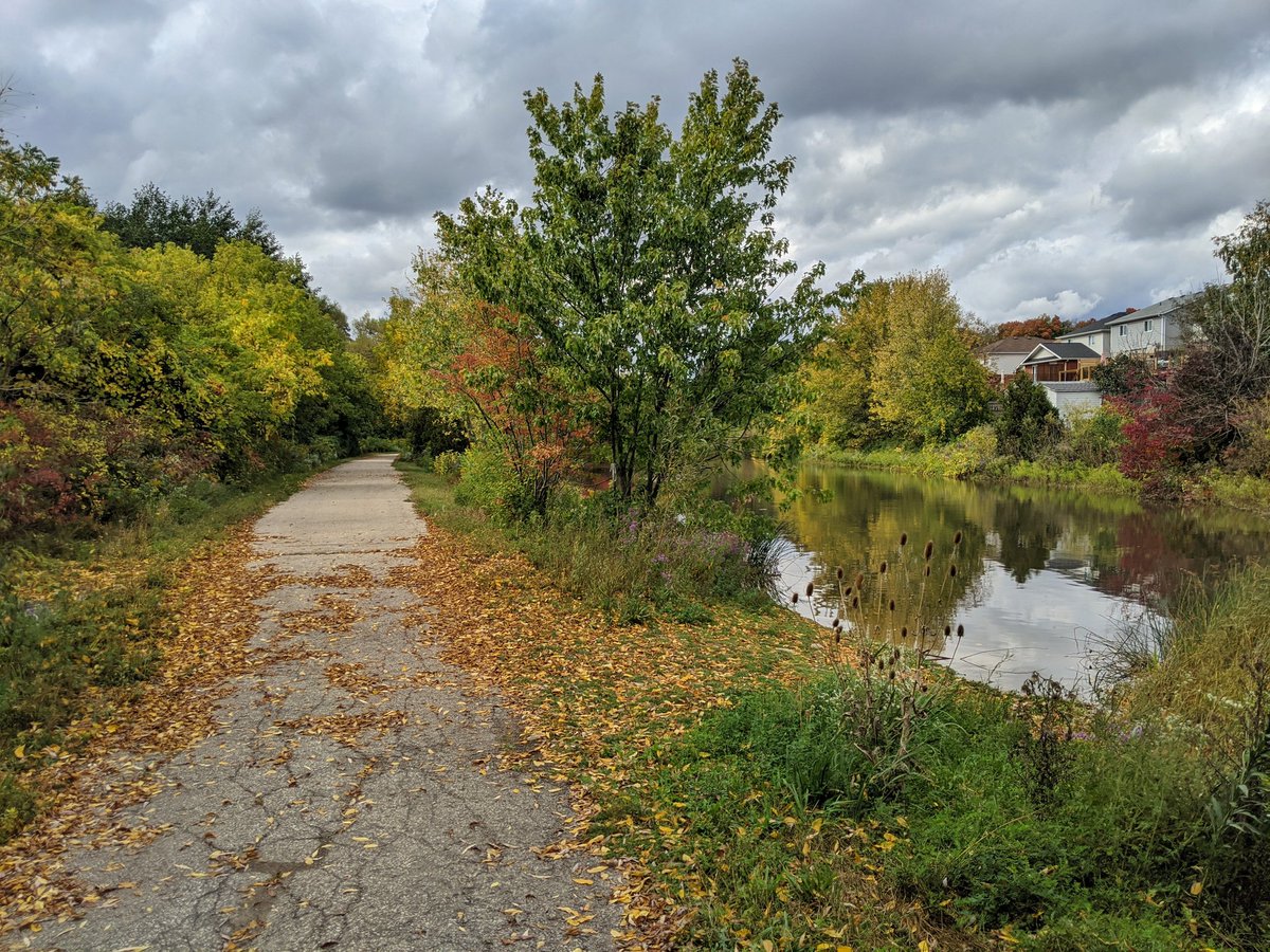
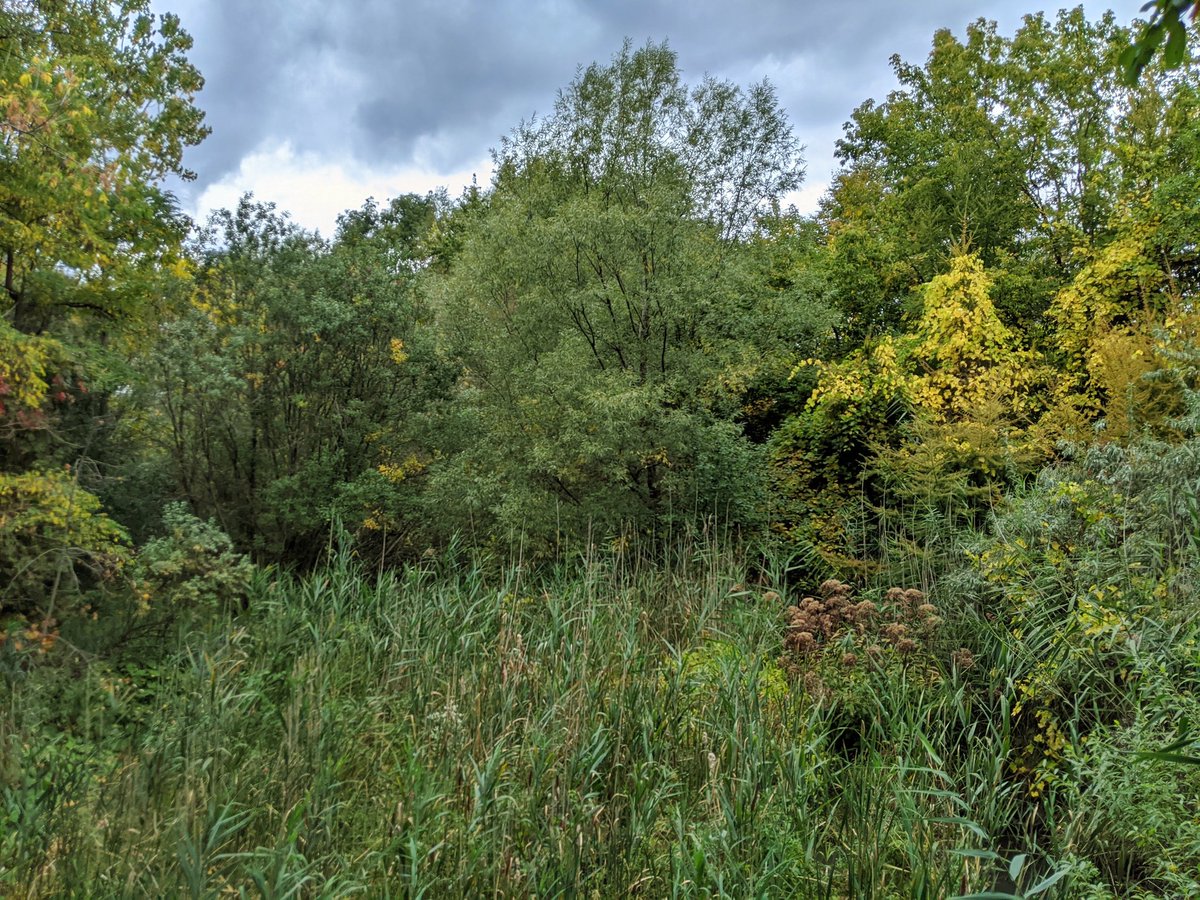
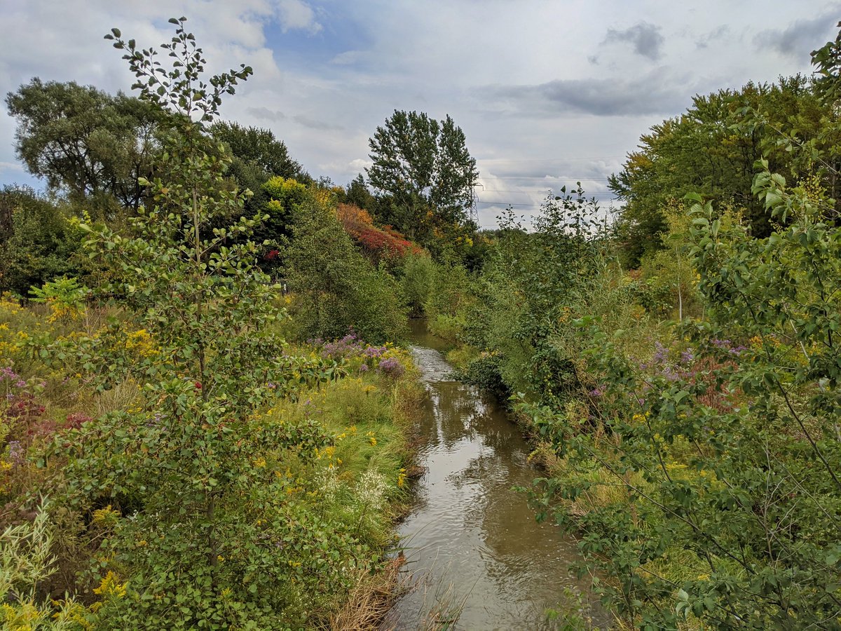
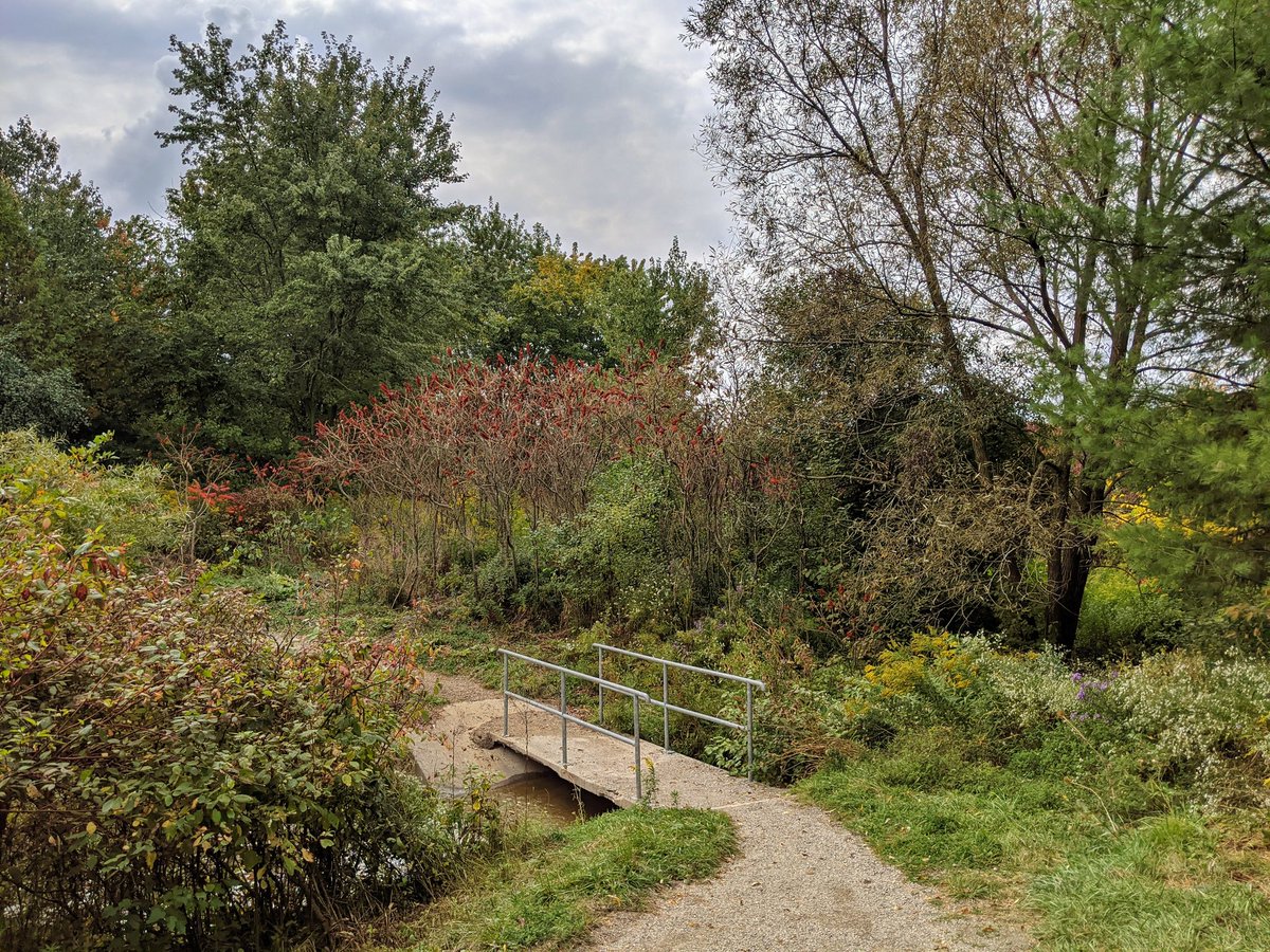
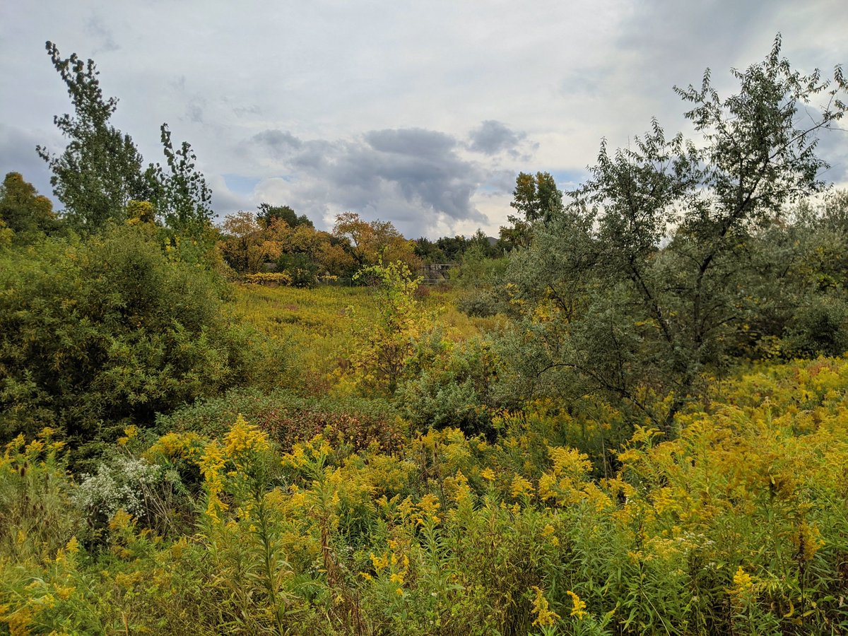
Off to a good start here. Very well vegetated riparian zone, and solid stonedust trails. West of the Fischer-Hallman / Highland intersection is another confluence, this time between Sandrock and Detweiler Creeks. I’ll continue with the former and also loop back here.
Stonedust turns to asphalt. Creek gets smaller, banks get steeper.


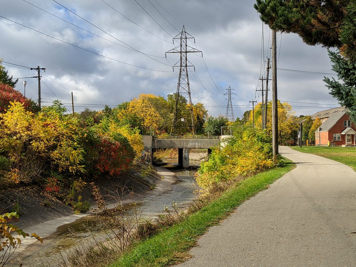
Sandrock Creek ends at the Heighthill Hydro Corridor. Subdivision grading makes it impossible to determine its former path past here. I’m now heading north to follow Detweiler Creek from its headwaters.

This woodlot was the highlight of the trek between Sandrock and Detweiler. The rest was quite boring, and many single-family residential subdivisions are.
Made it. This stormwater pond is the current day headwater for Detweiler Creek. There is a bit of a trail on the one side, but it’s not continuous, even though there are maintenance accesses. Really?!
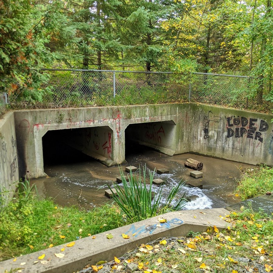
The creek flows into Summerside Woods Park, but it’s all fenced off. Finally a creekside trail appears, but it’s short-lived as you get pushed to the street again.
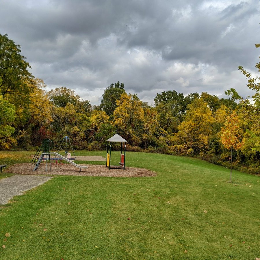
A playground backs onto Detweiler, and there are other glimpses from the street.
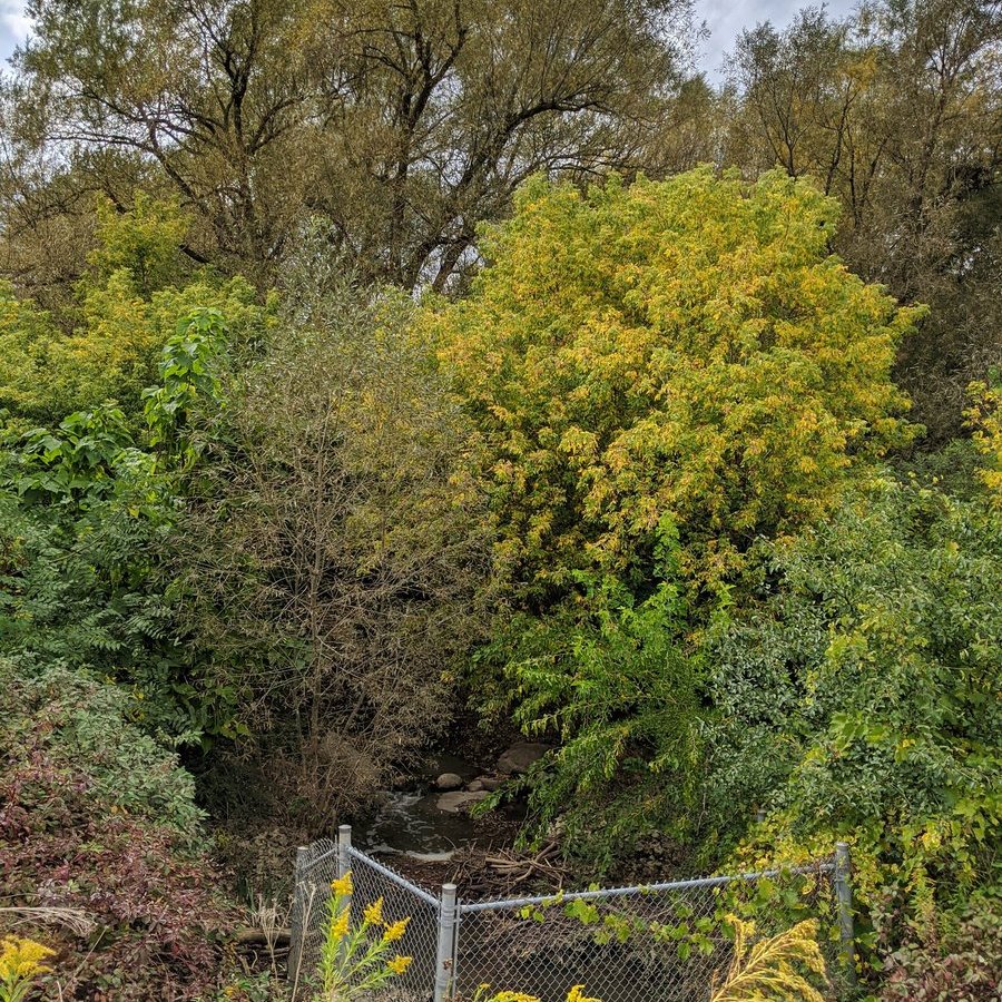
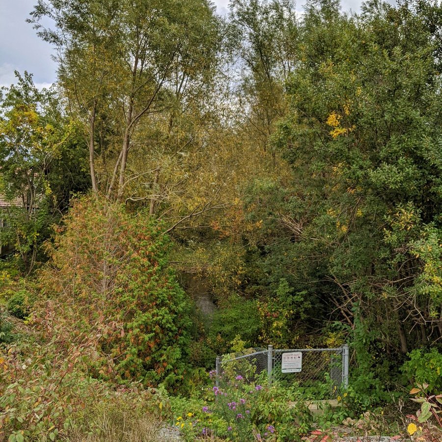
More glimpses of the kinda trashy creek. Then past the Sandrock / Detweiler and Henry Sturm / Sandrock confluences to complete the loop. Now back to the original watercourse in a northwest direction.
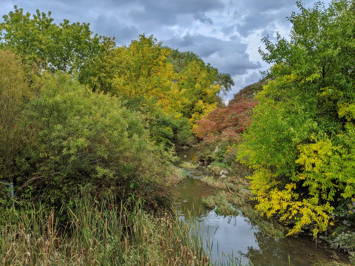
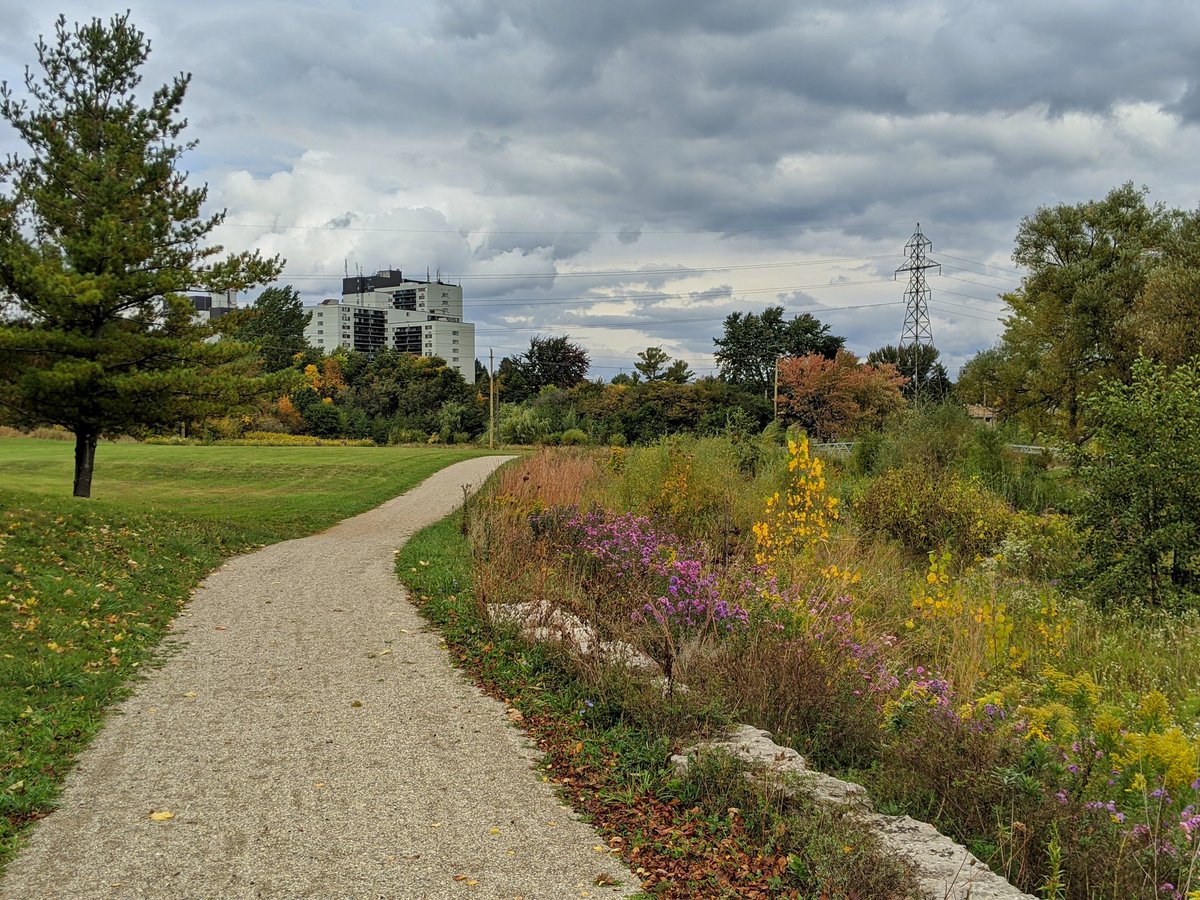
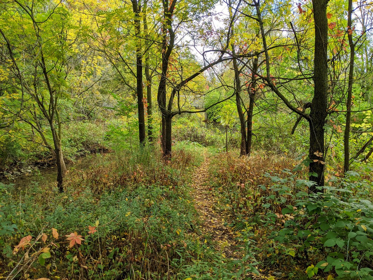
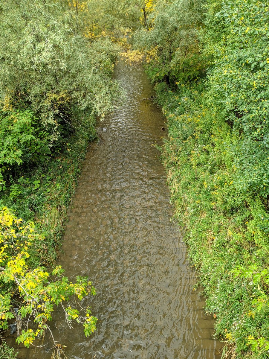
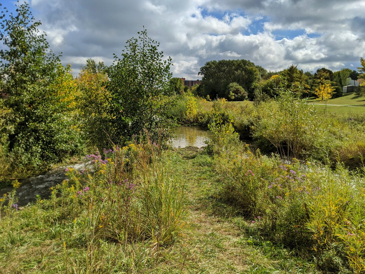
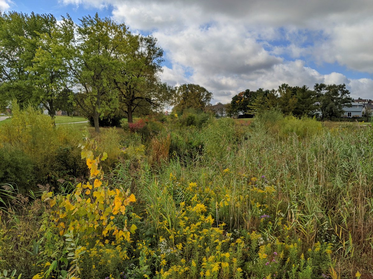
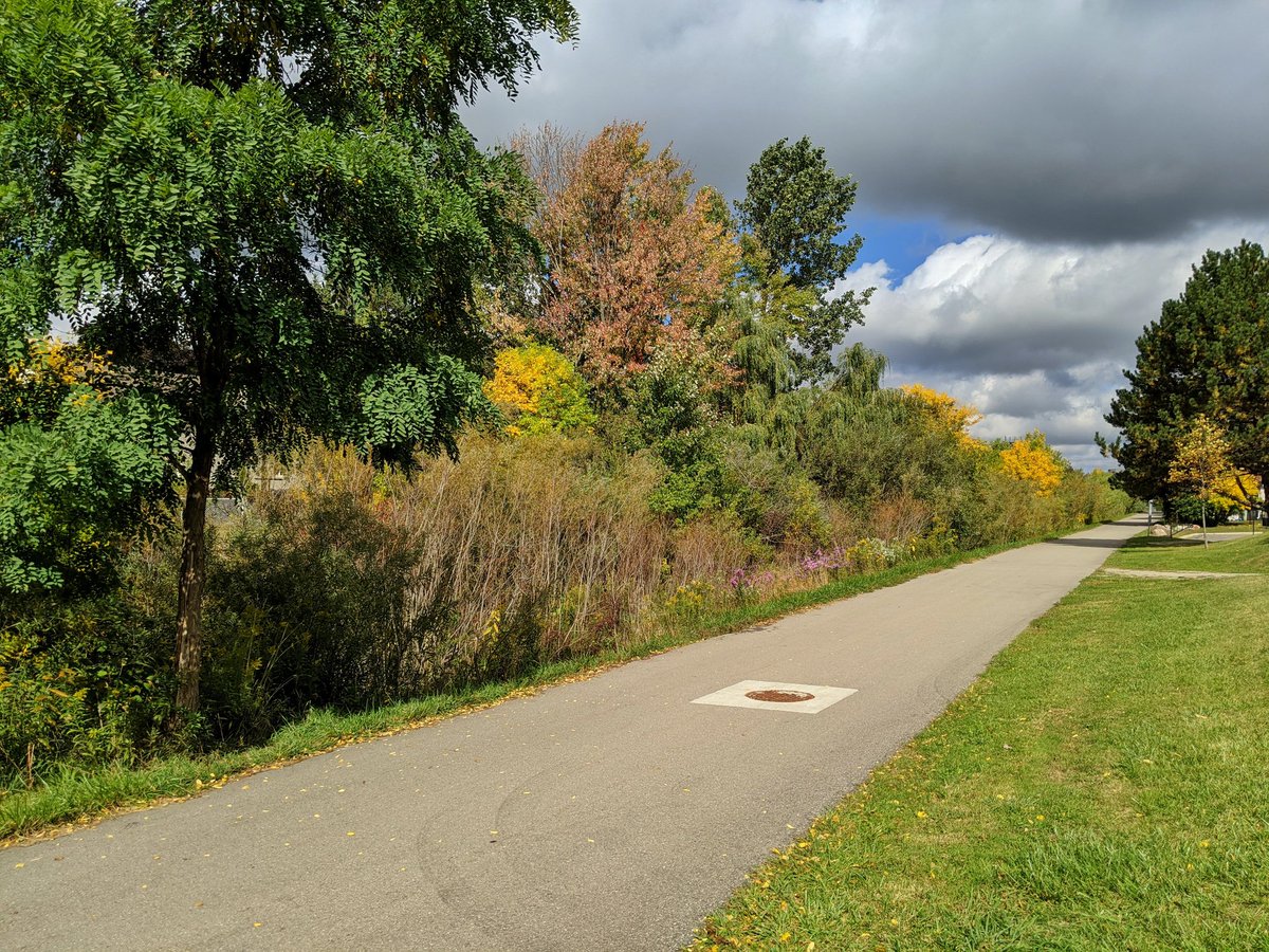
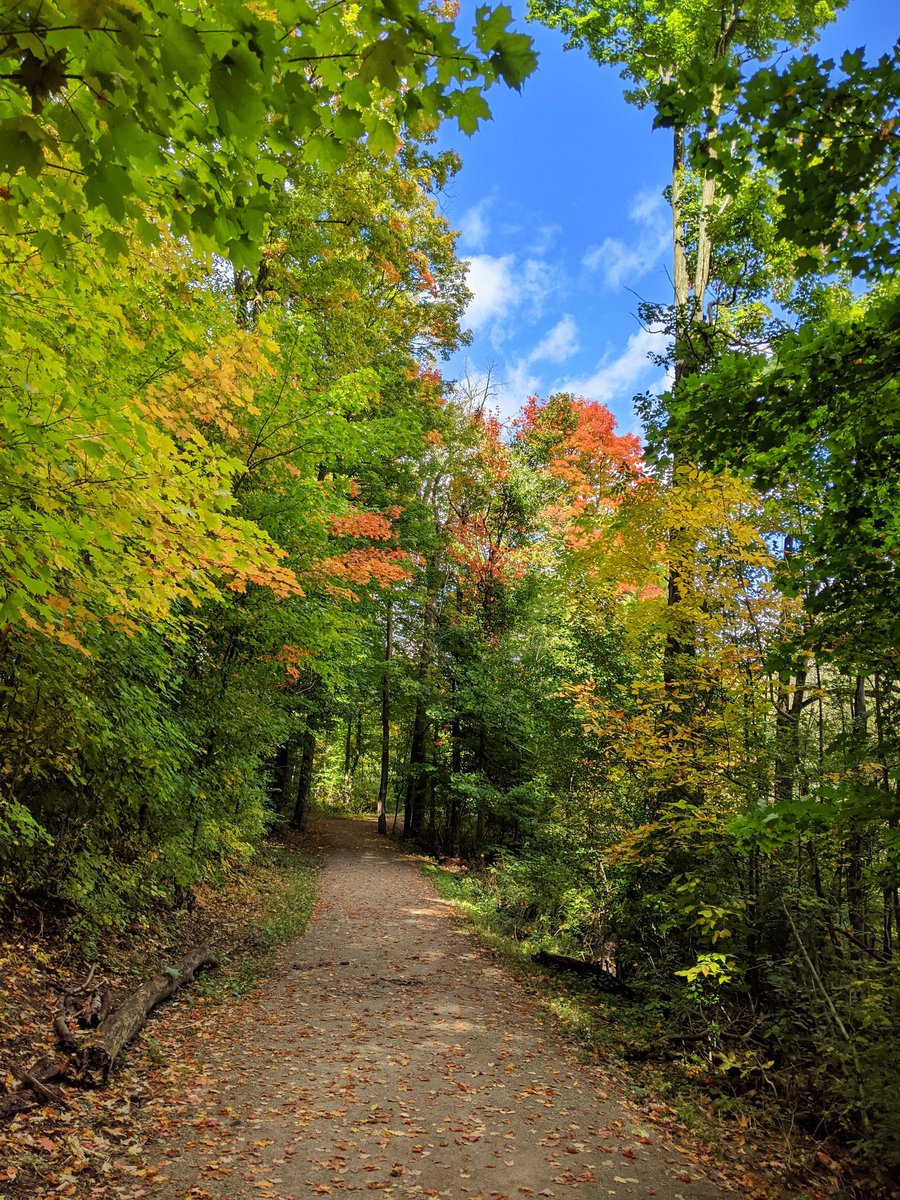
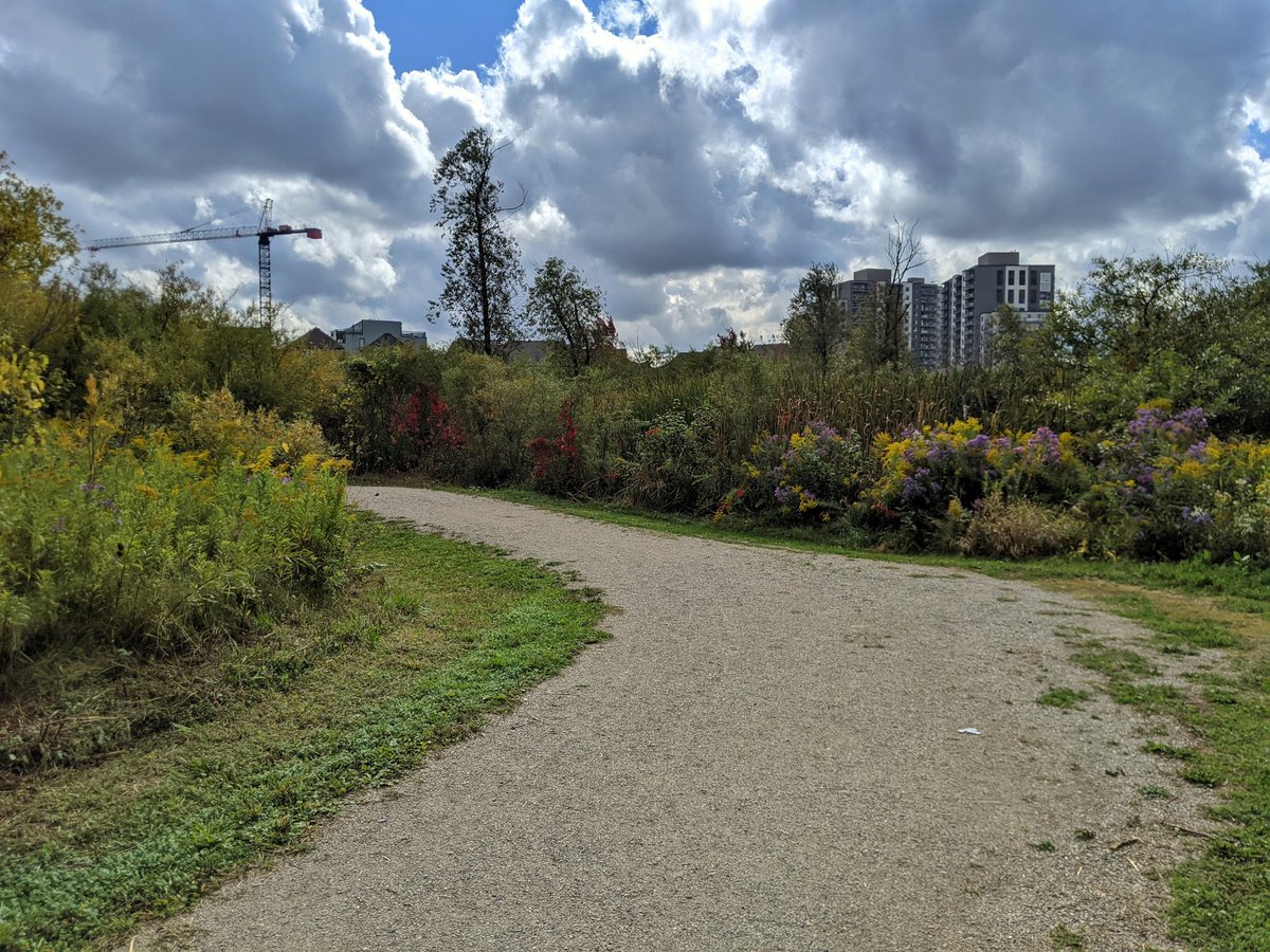
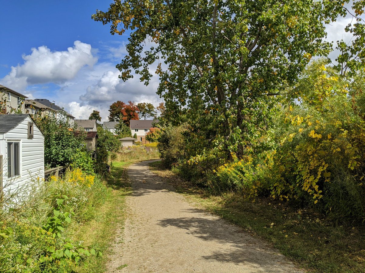
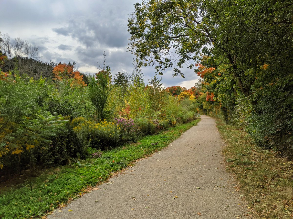
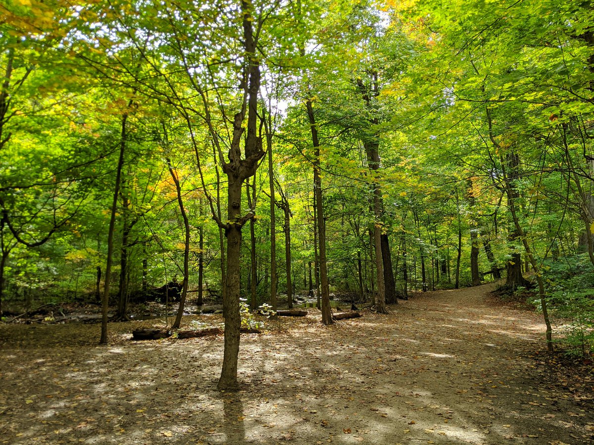
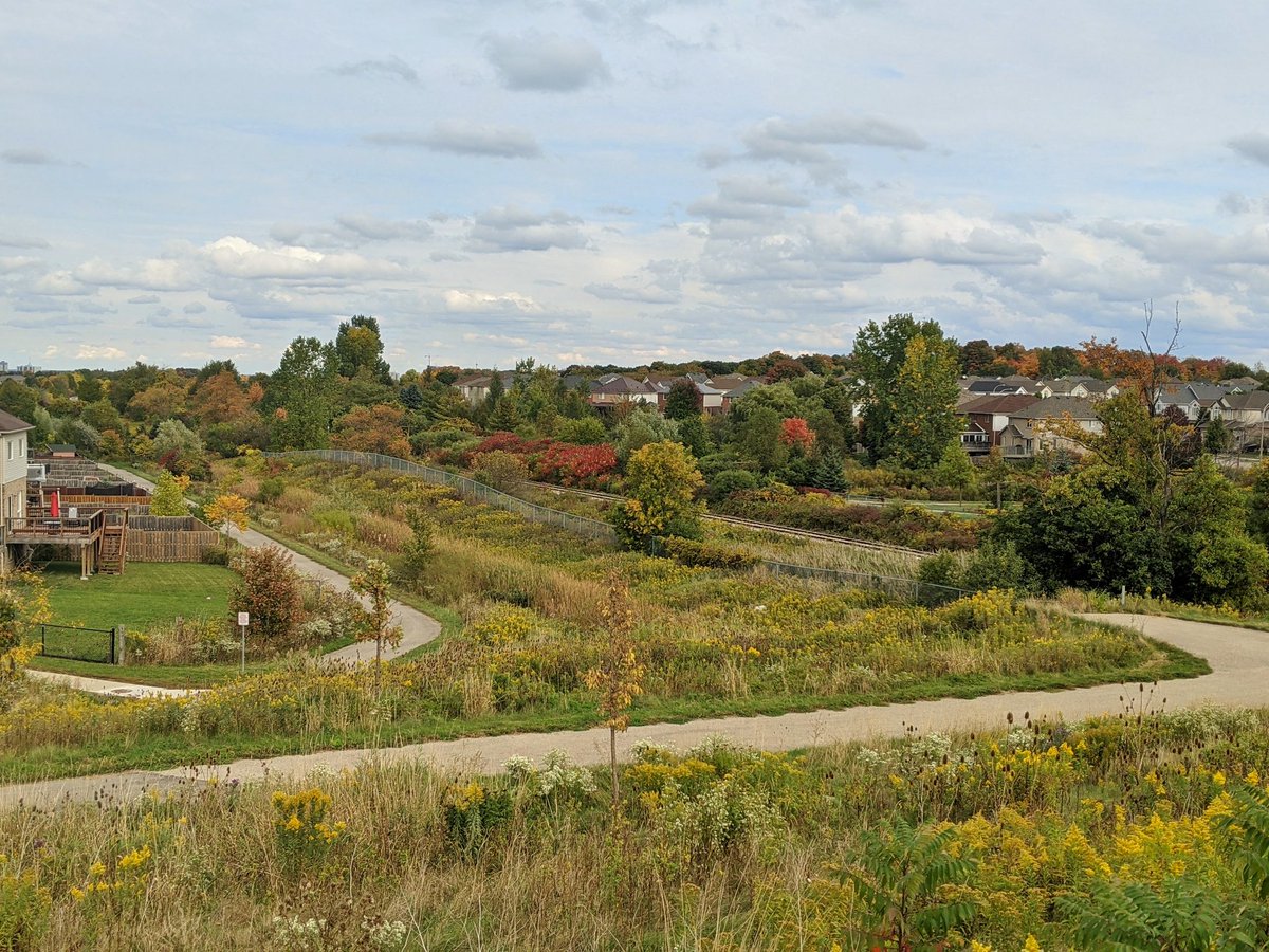
Back to a nice wide open greenway. Stonedust trail with many neighbourhood connections leads under Fischer-Hallman into the woods.
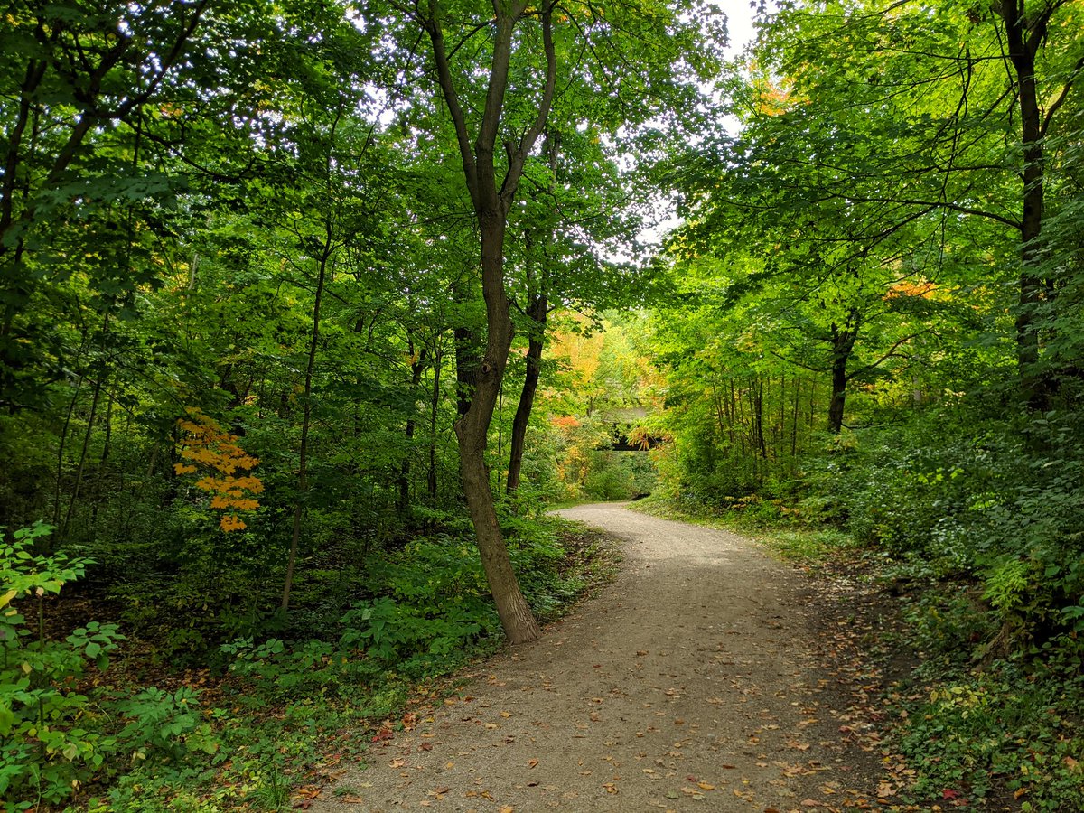
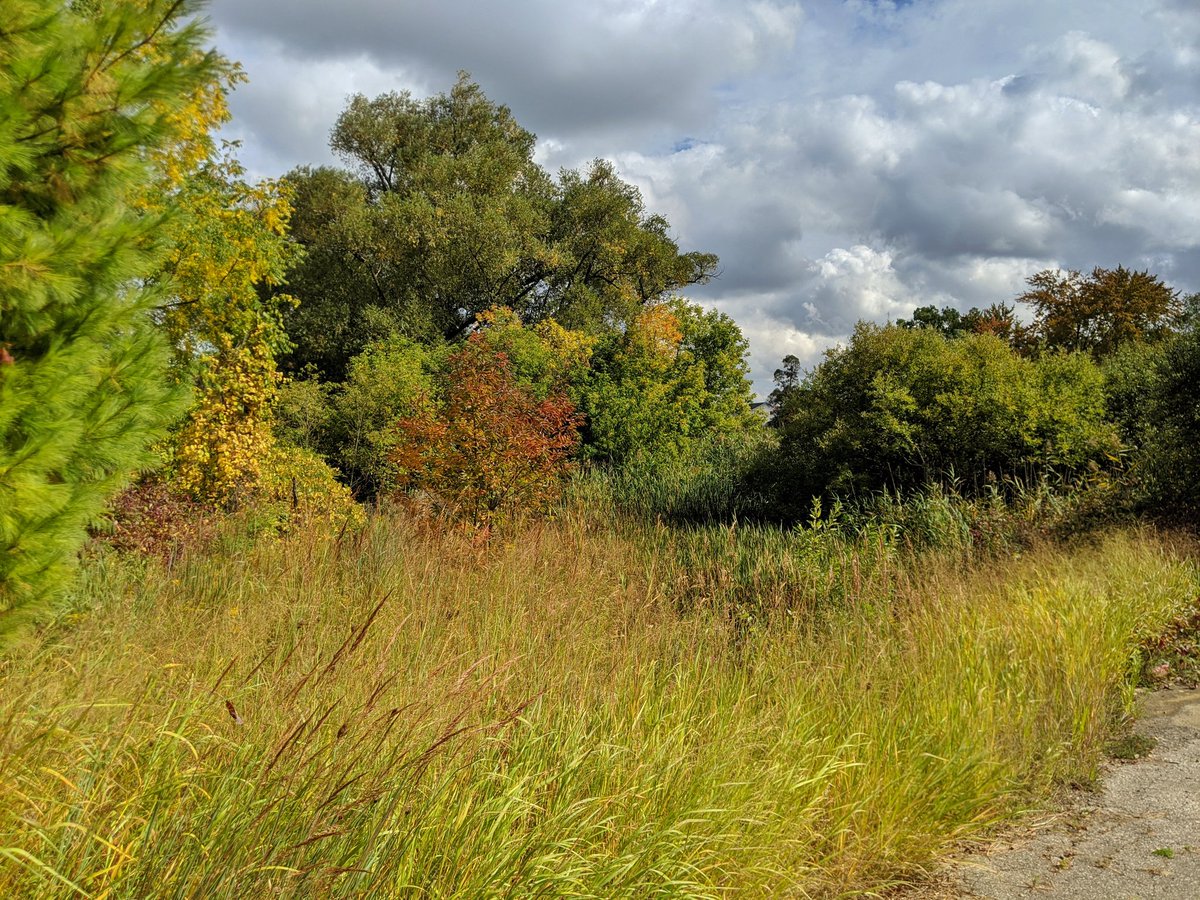
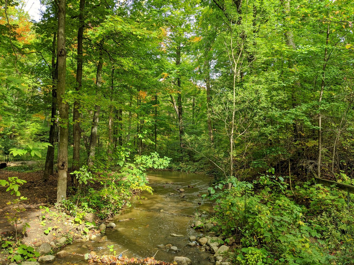
Nice hardwood forest with plenty of footpaths. Good for “forest bathing” as some would call it. There are some signs or erosion though, and footpaths on the bank don’t help.


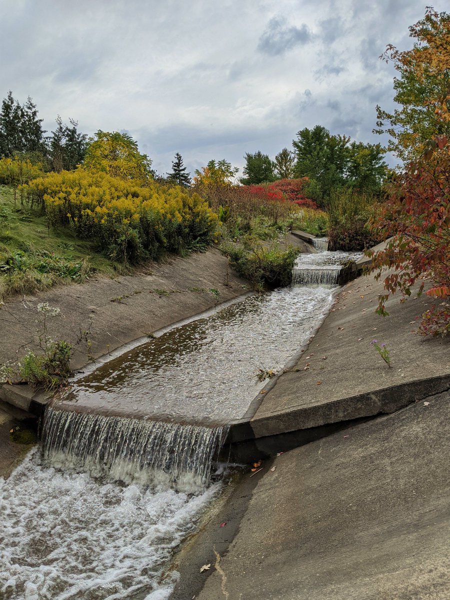
Well this was a bit of a surprise. Henry Sturm is in a concrete channel again. Explains why there’s erosion downstream, with increased volume and velocity sent into the woodlot. Waterfalls are cool, but urban channels are bad.

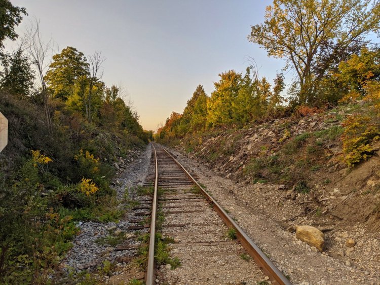
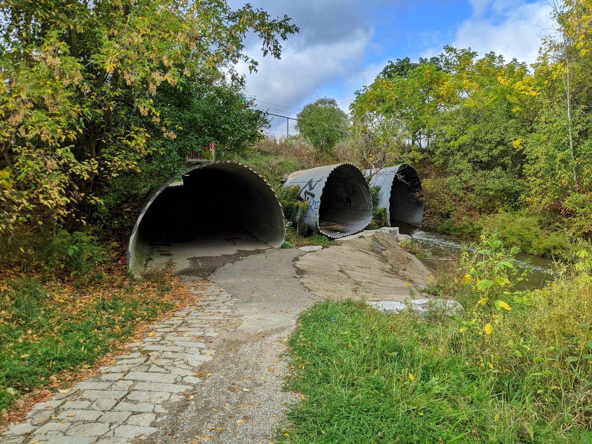
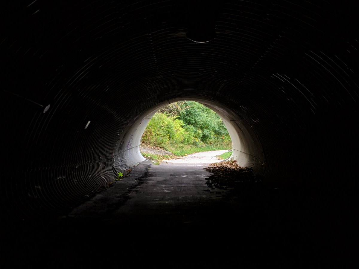
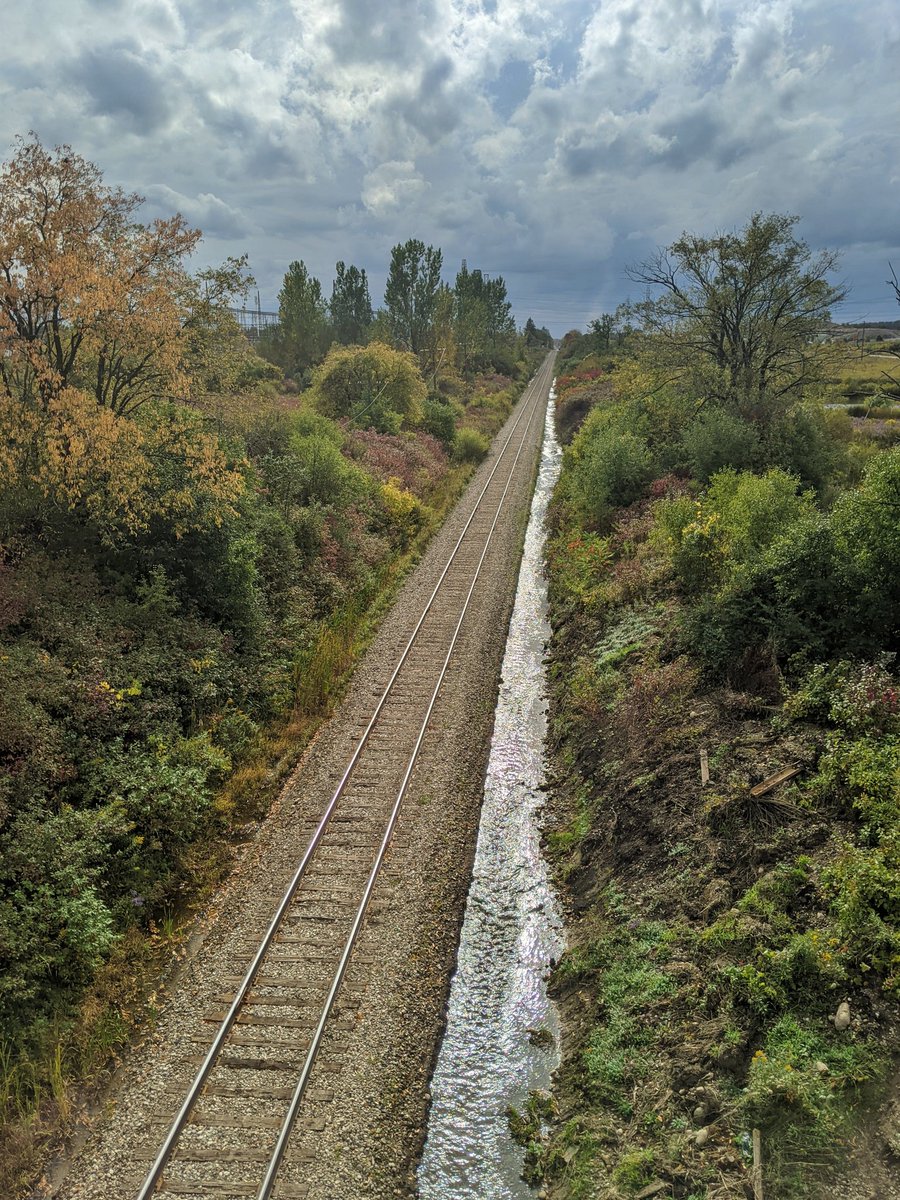
Back to a familiar spot, where Henry Sturm goes under the Canadian National Guelph Subdivision. It then parallels the tracks towards Kitchener’s western border.

Looking over the Guelph Subdivision, it’s clear where the rush of water is coming from. The stormwater management pond beside it is quite nice. Any other water going into Henry Sturm is probably coming from the landfill, so that’s a wrap for today.

Date: September 29, 2020
Length: 17.3 km
Type: Riverine