Checking out the former upper reaches of Mud Creek from Yonge and Eglinton. Documents and local grading suggest Mud Creek skirted the southwest corner of Canada Square.

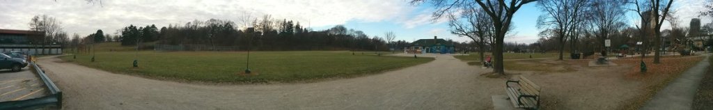
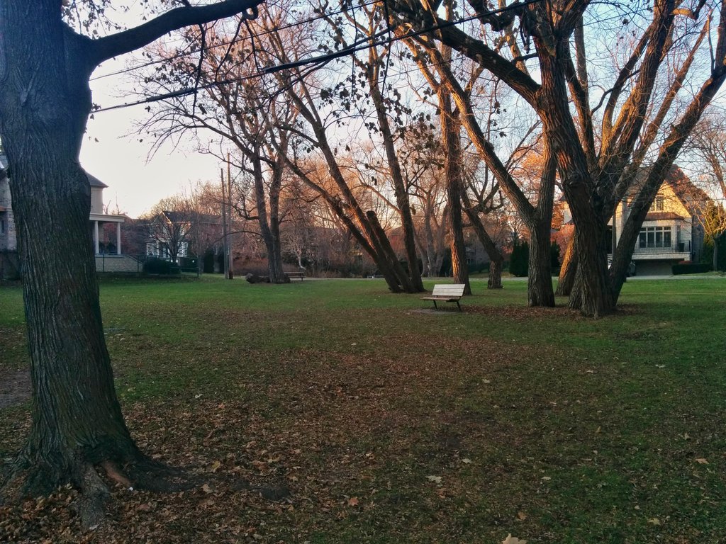
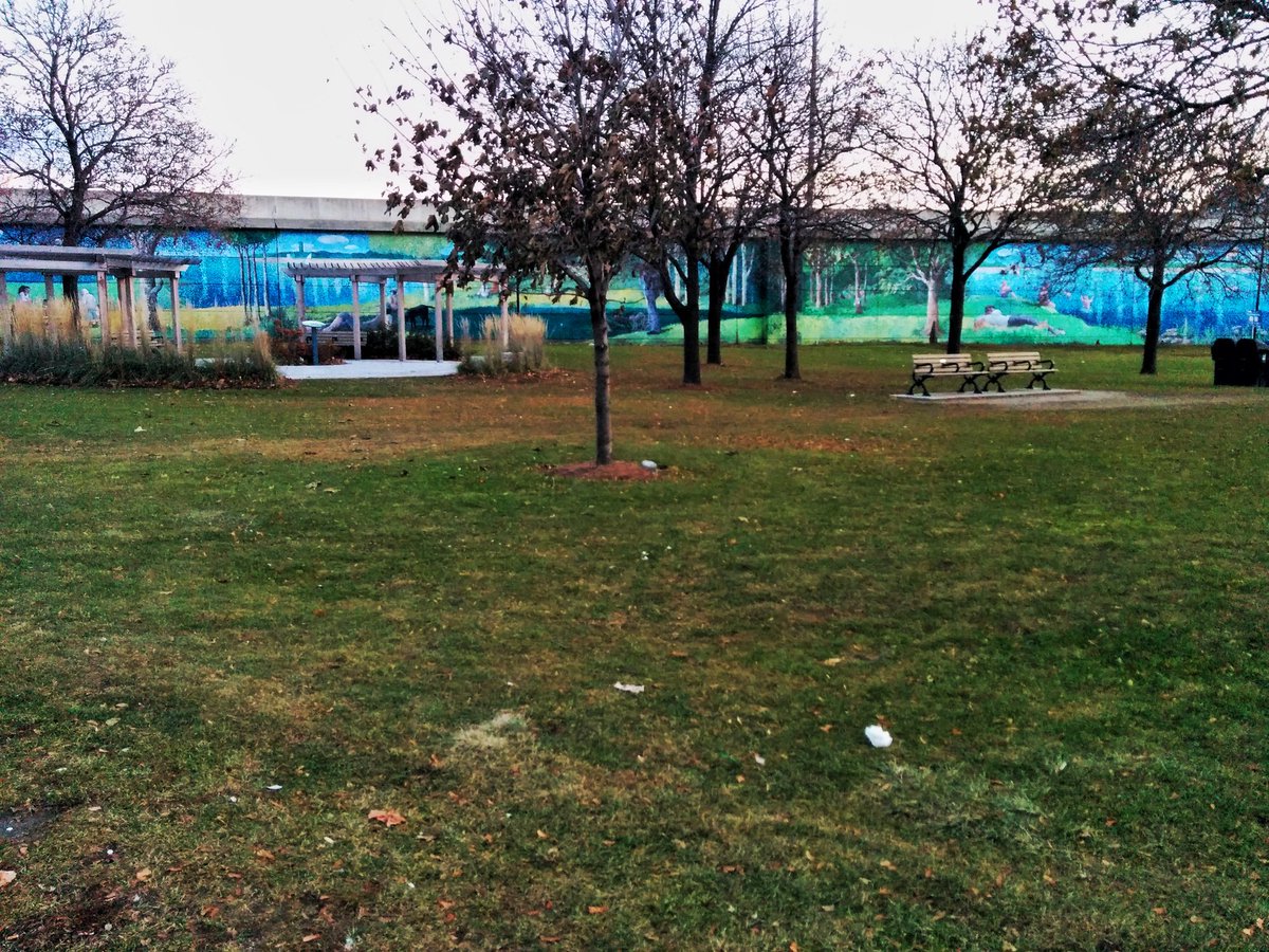
Another ravine infilled for a recreation park. Shame.
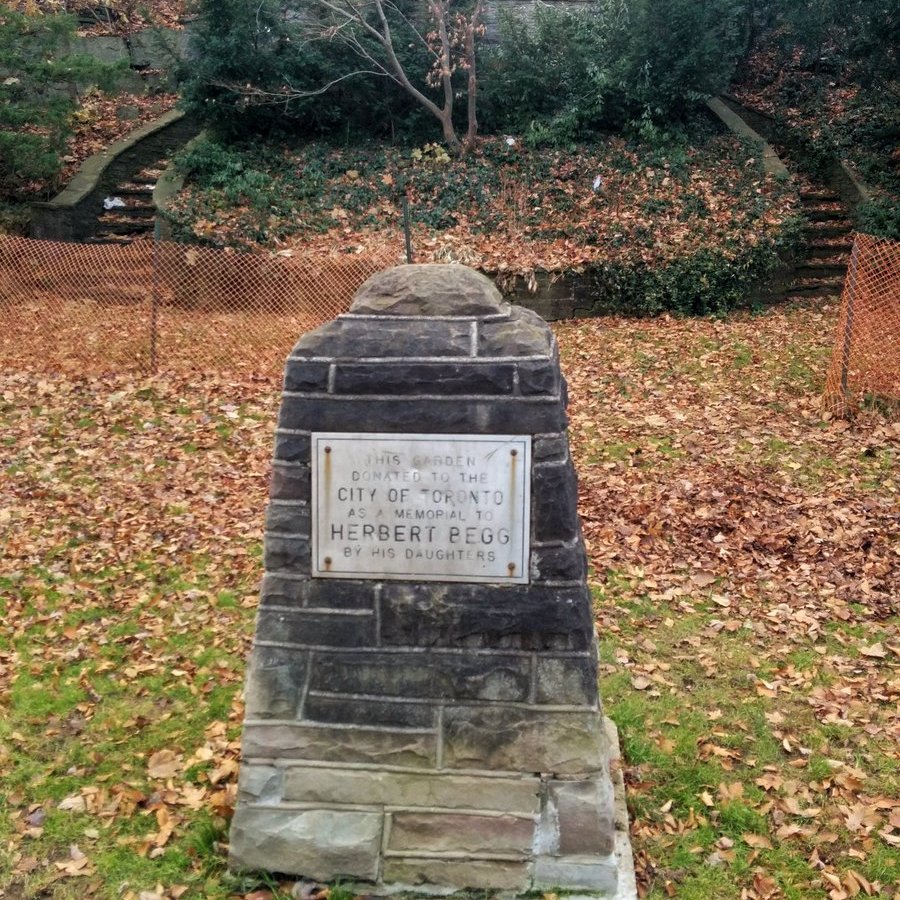
After following Rosewell Avenue on the eastern tableland of the former ravine, you come to Lytton Park. South of the road, apparently it used to be some guy’s garden. Private property still occupies a space between the park and Cortleigh Boulevard.


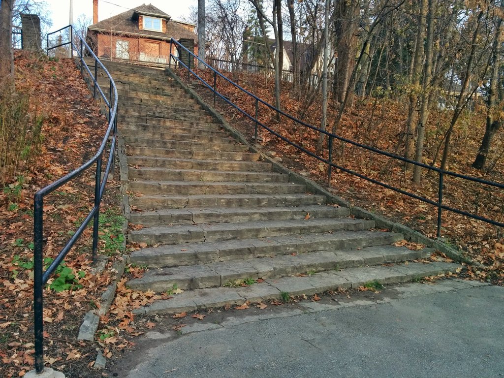
North of the road, it’s lawn bowling and tennis courts. Nice steps though.

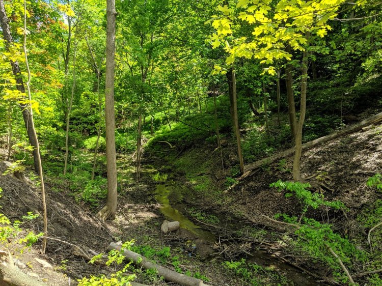
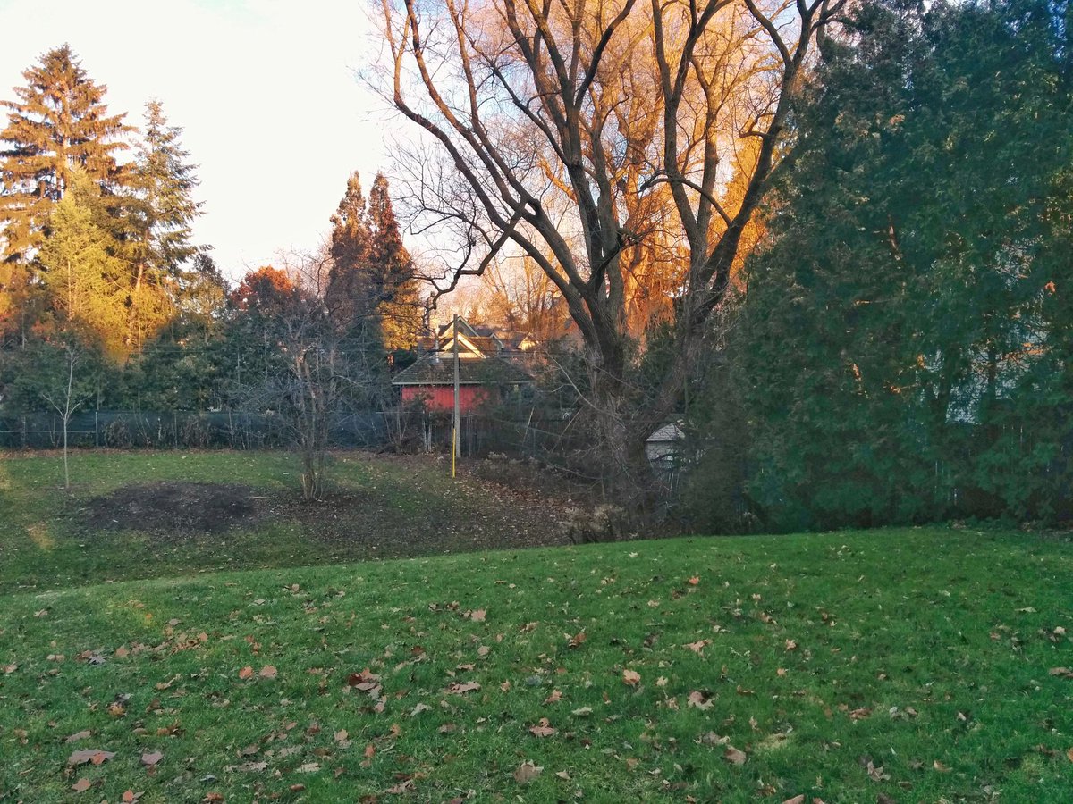
Eventually there’s a swale and a ravine. Most of it is thick vegetation, and you have a hard time knowing where public property boundaries are. As shrouded as it is, it’s painfully obvious after arriving at another park.

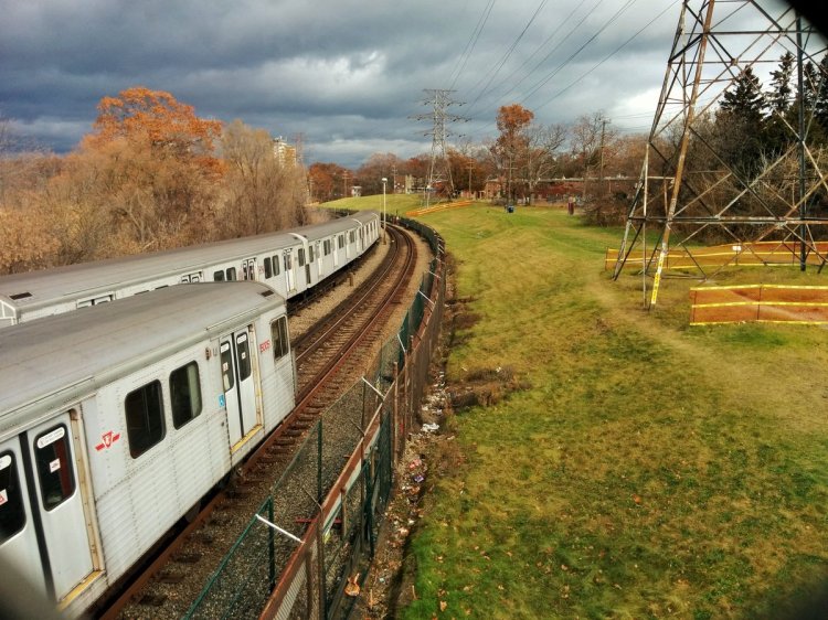
North of Lawrence, it’s reminiscent of stormwater management seen in North York Centre. Surface ditches drain into the storm sewer.
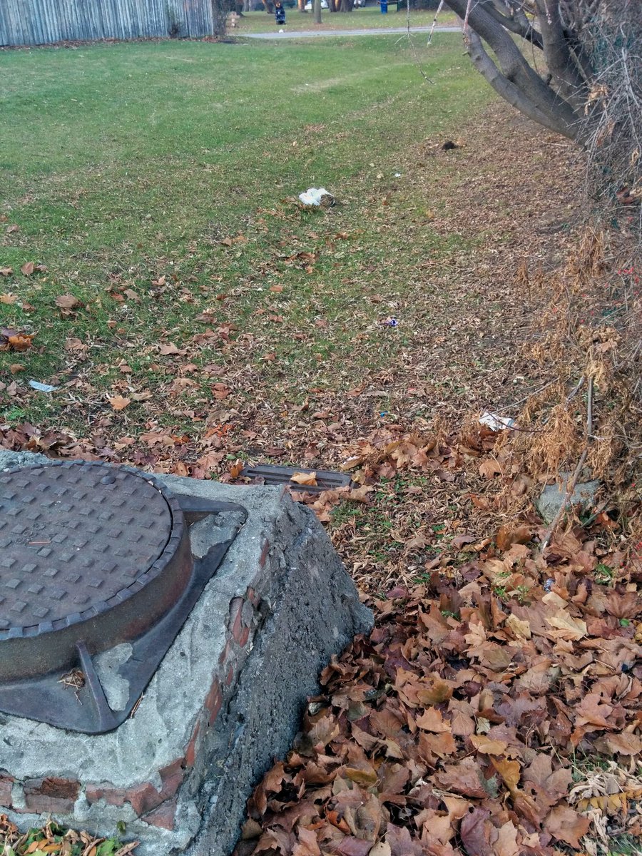
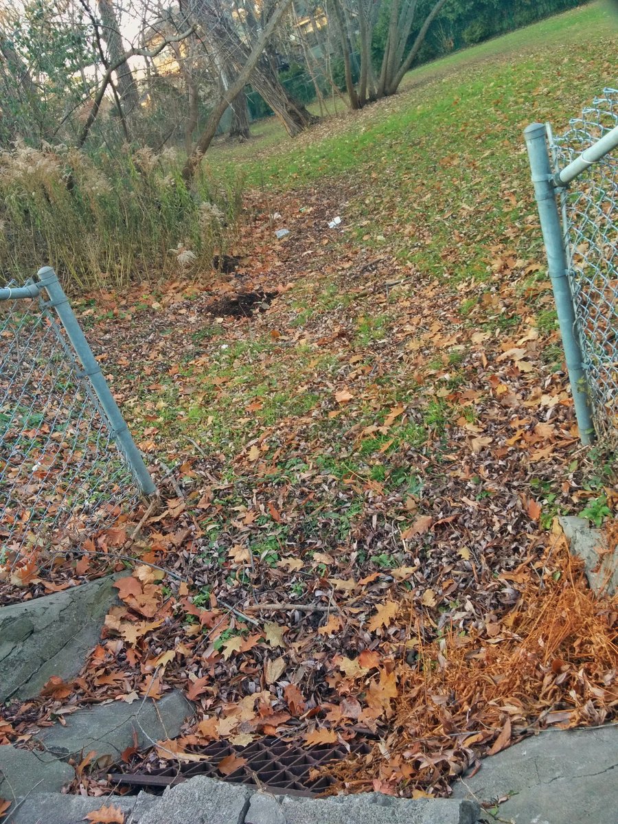
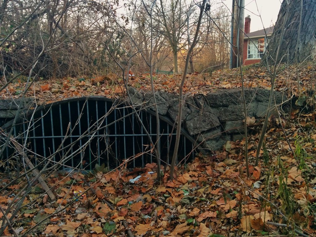
I’ve run into a series of continuous ditches and culverts. Whether this is original or not is always hard to say, but chances are good.


I found this fenced off linear parcel of land northwest of Bathurst at Prince Charles. Walking on the other side of it, appeared to be some sort of tiny wetland. But completely lost it after that, presume it’s the headwater anyway.

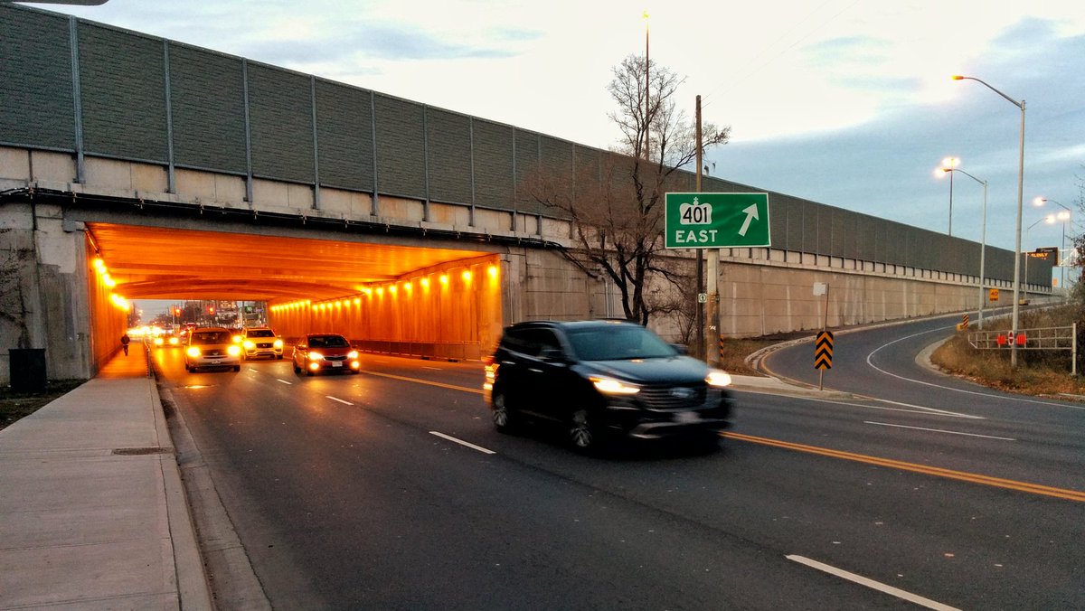
This walk concluded by walking under a wall.
Date: December 2, 2017
Length: 8.0 km
Type: Riverine