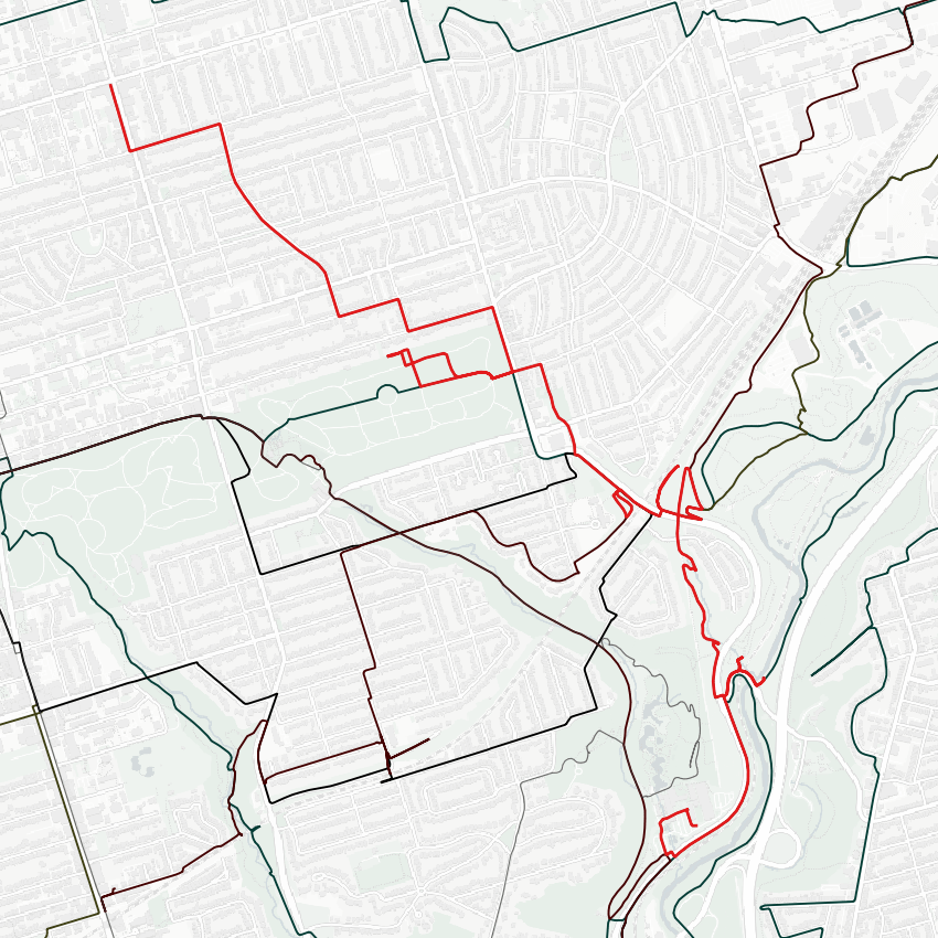
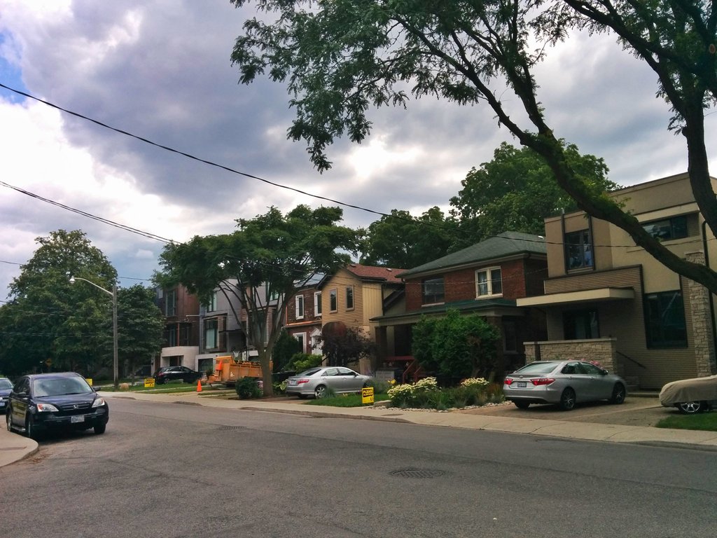
Today, I am tracing the former and current paths of Cudmore Creek. It starts at the southeast corner of Eglinton and Mt Pleasant. Other than a very wide and shallow depression, there’s no signs of where Cudmore Creek used to flow. It was taken over by houses.
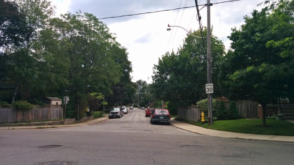
Even as it follows the path of Forman Ave, still no trace of Cudmore.
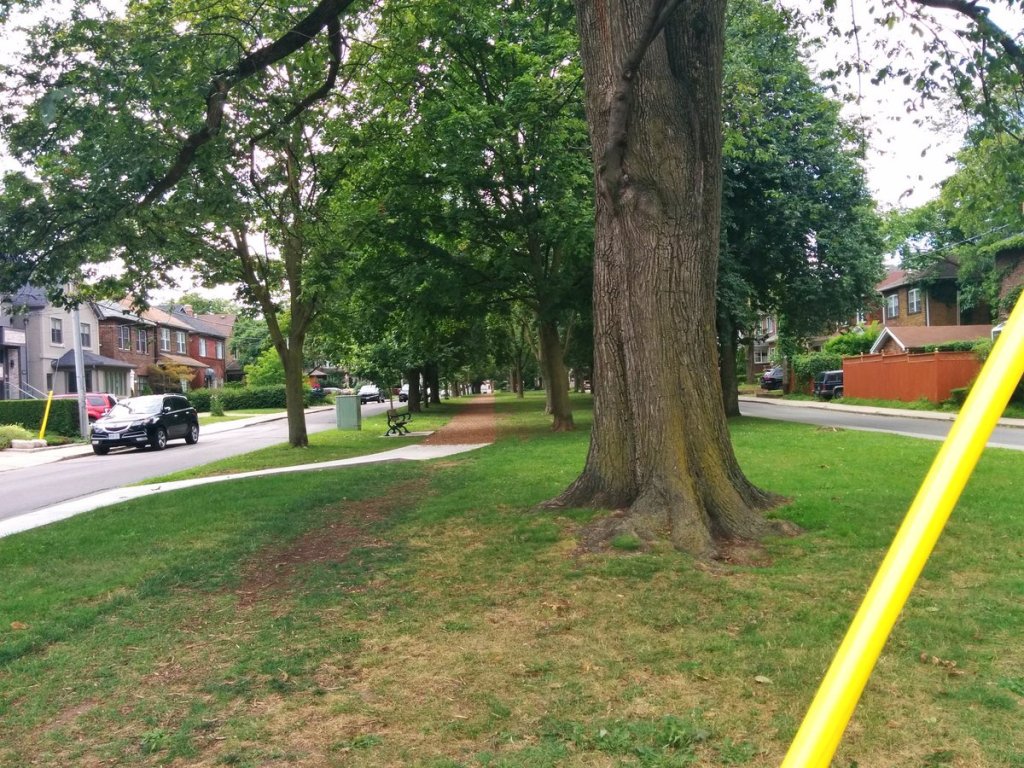
Like Mud and Yellow Creeks, Cudmore cuts through Mt Pleasant Cemetery, buried by the buried dead. Unlike Yellow at least, there’s little trace. I traced the north wall, there’s a ditch but not much else. For comparison, there are signs of Yellow Creek.

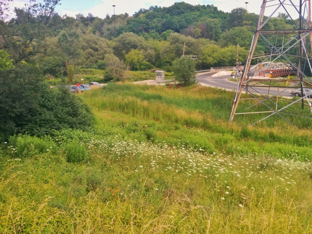
Sewering creeks and infilling ravines for recreational parks. I still don’t get it. Then, something tangible. The Bayview Extension was built in part of the Cudmore ravine. Road remnants on the west table was Pottery Rd.


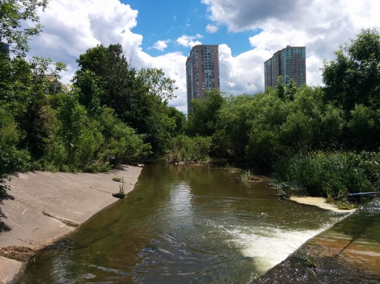
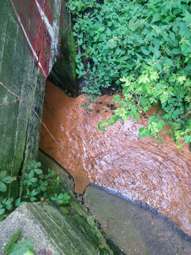
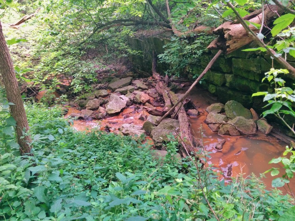
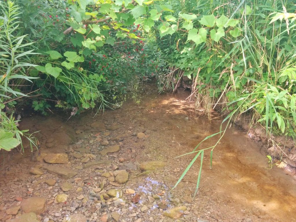
Found it. Here is where the open reach of Cudmore Creek begins. However it was difficult getting down here.
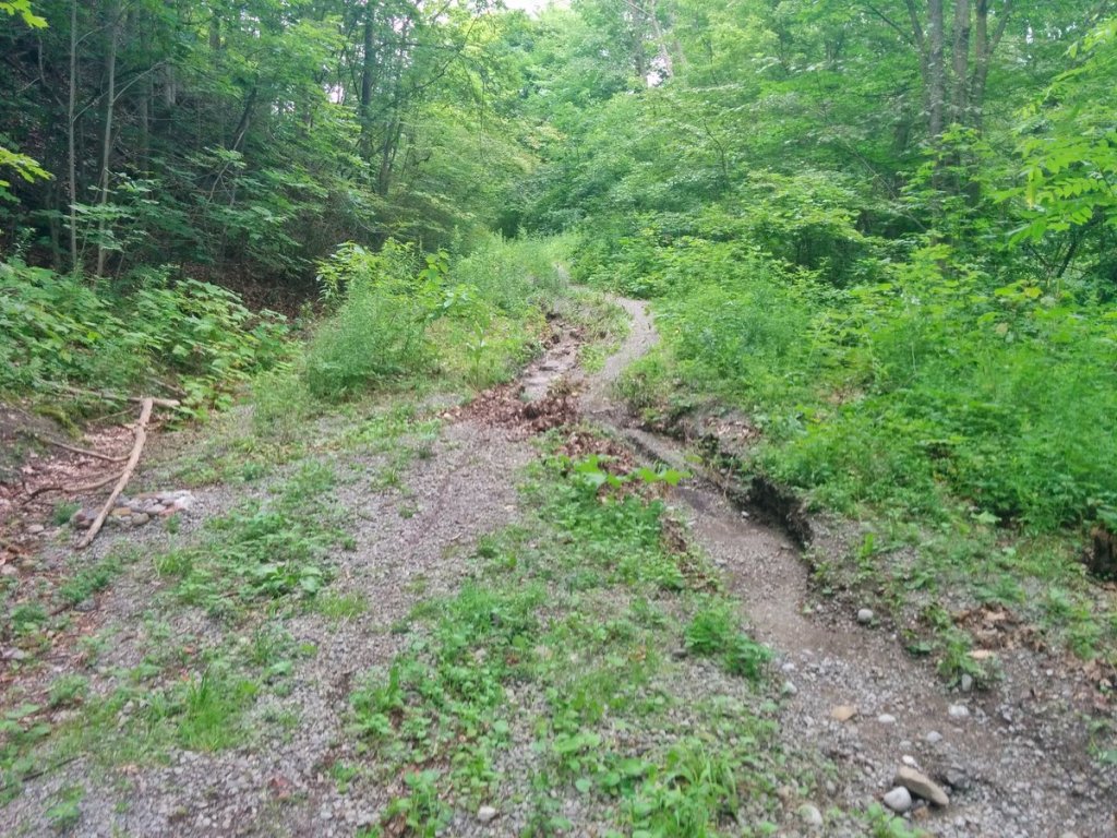
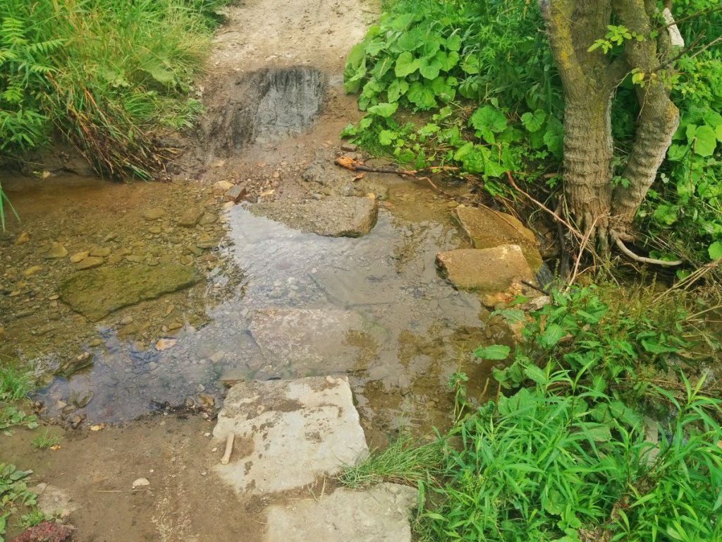
After getting stung by something in the overgrowth, I stumbled upon old Pottery Rd again. Led me back to the creek.
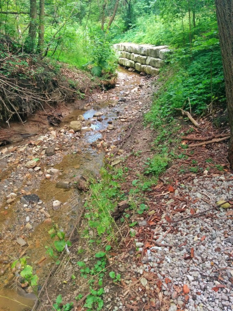
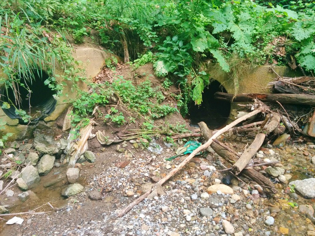
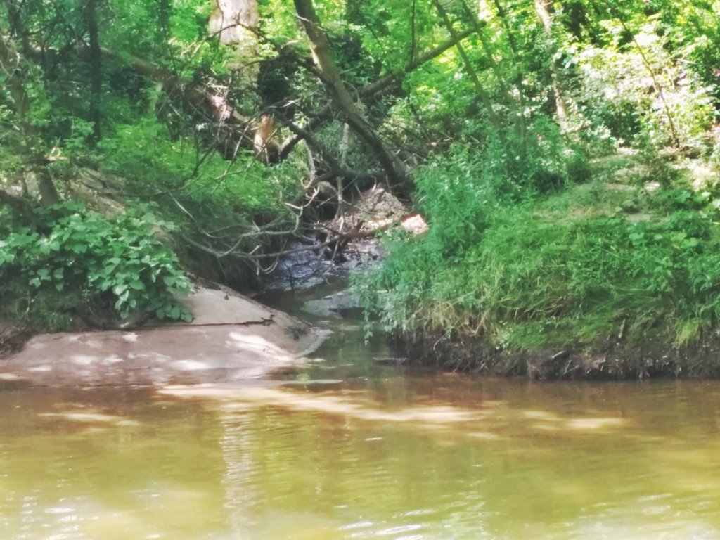
Ducking under the Bayview Extension, Cudmore Creek emerges again and crosses the Crothers Woods Trail.
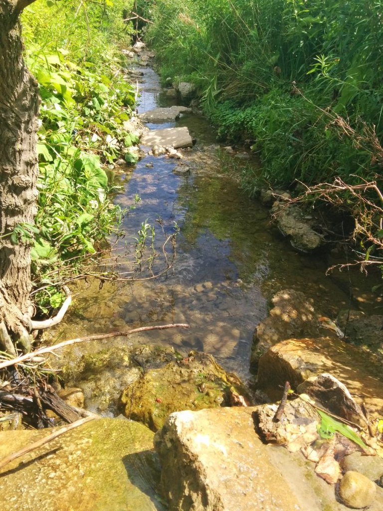
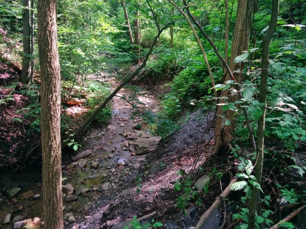
Cudmore Creek finally meets the Don River, just north of the existing Pottery Road.
Date: July 29, 2017
Length: 8.2 km
Type: Riverine