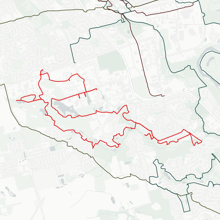
Good morning. I’ll be taking today to follow Strasburg Creek in southwest Kitchener. The confluence at Schneider Creek is in private backyards, so I’ll start here at Doon Village Road. Let’s go.

Not off to the best start. There’s some adjacent parkland, but no formal trails that take you through. Lots of looping around private property. Amazing weather though.


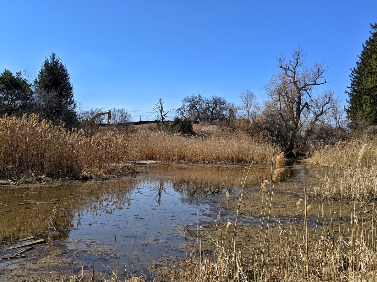
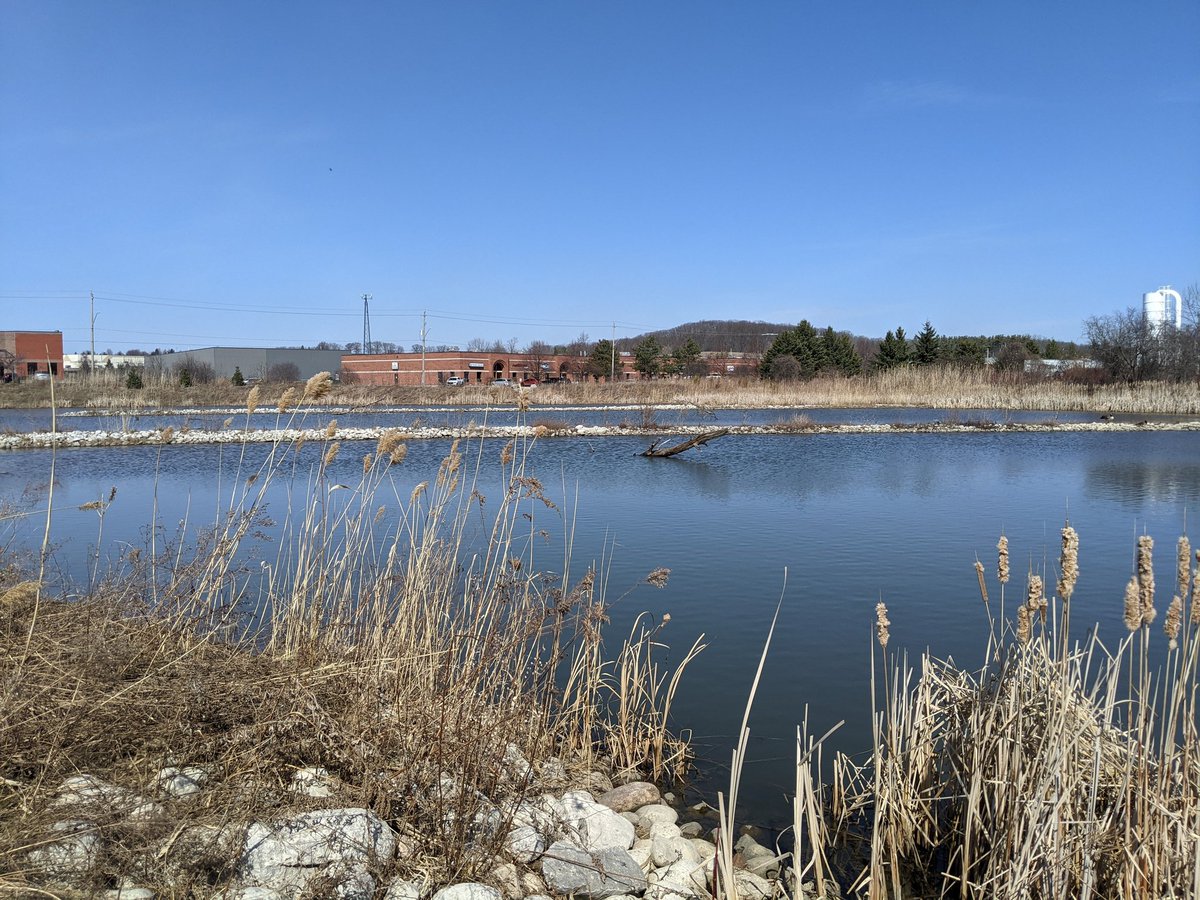
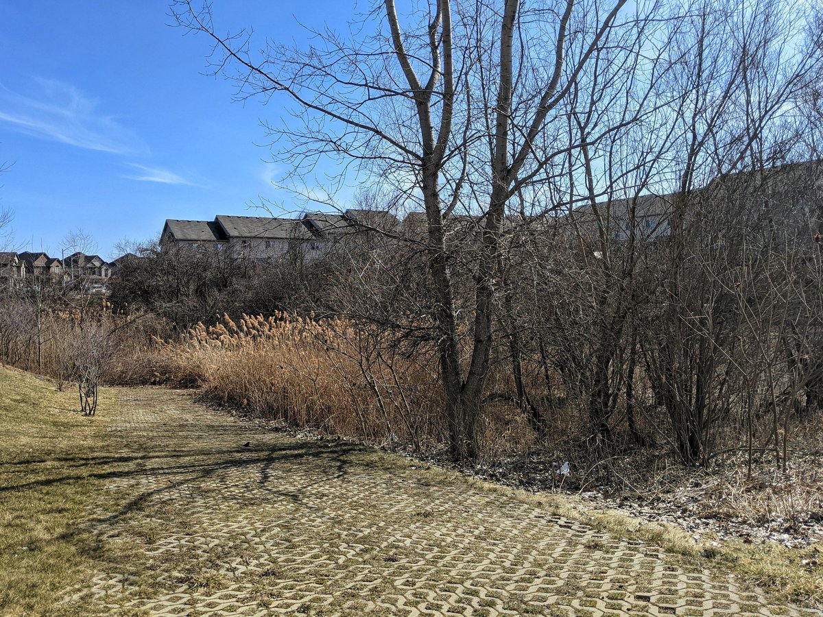
A bit more luck. A dirt trail around some stormwater management ponds, giving a great view of the wetlands down here. But then it ends where it looks like a boardwalk used to be. It was cut up and removed. Gotta go around again.


So frustrating. Took a chance on a deer path through the woods, significant backtracking due to private property (or fenced public property, maybe). A total failure of the city to meet the needs and desires of its residents. This is the low hanging fruit for making better trails.

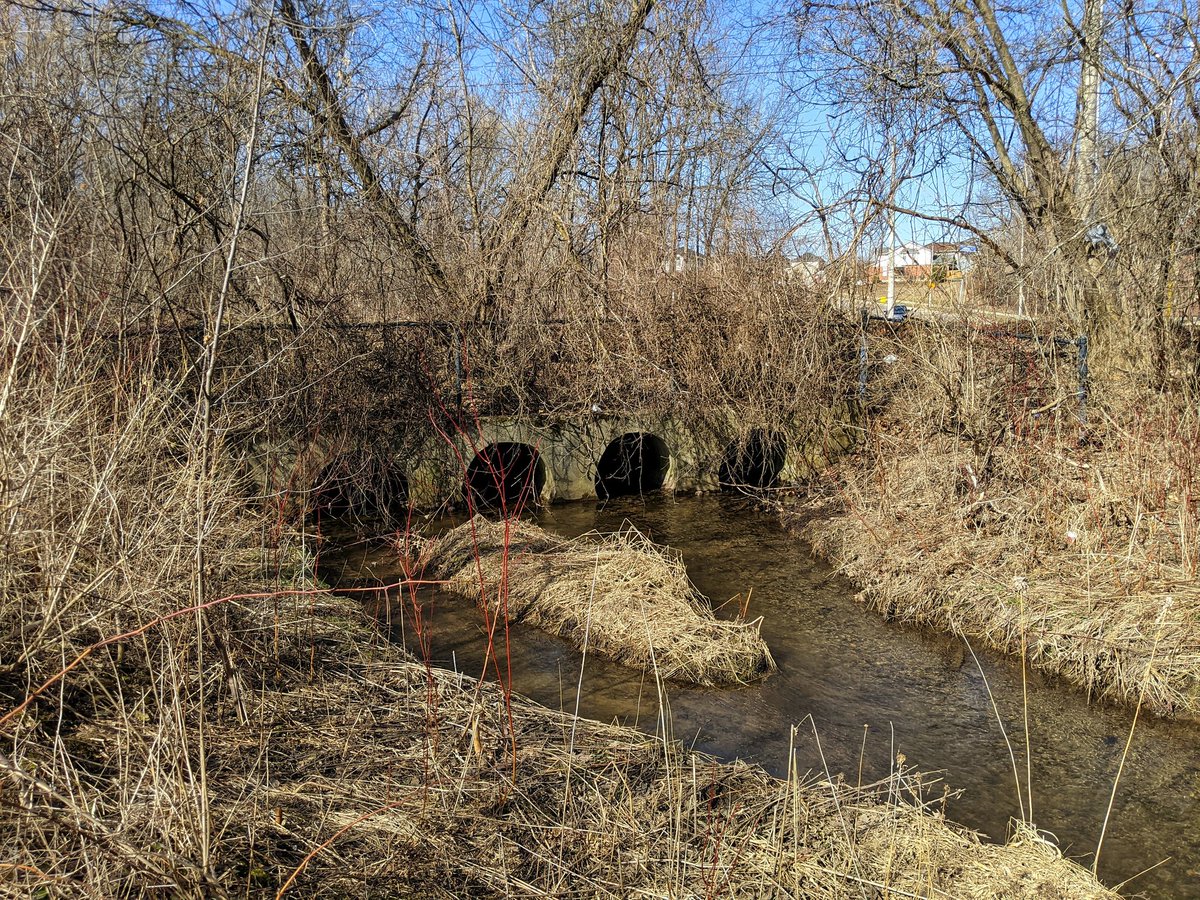
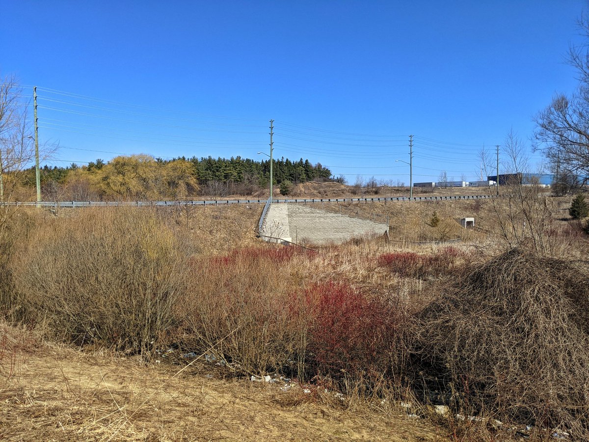
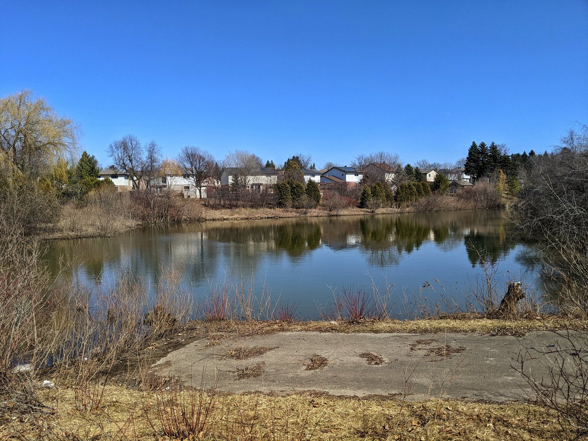
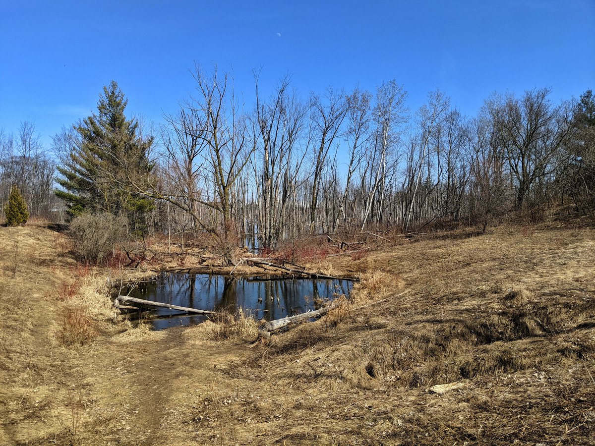
Anyway, that’s politics. Back to the creek. This is the fork between the main and north branches, and I’ll start on the former. Brings you to a former dam and pond that was rehabilitated. Still no through trail.

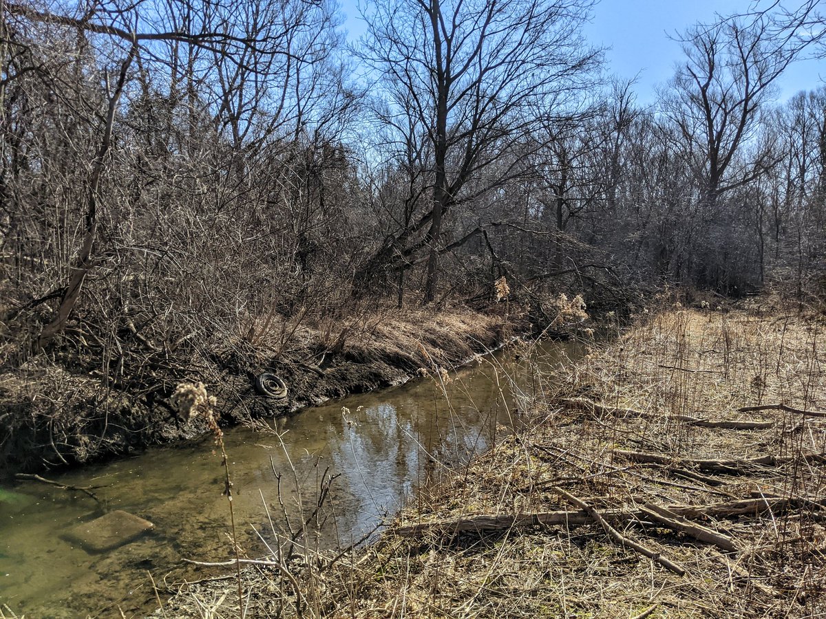

Another brief but rewarding glimpse at Rush Meadow Crescent. More wetlands and a wicked meander path through here.


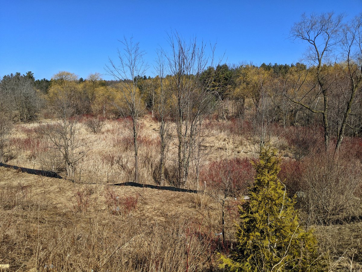
Back on a path past Strasburg Road. Quite a grade difference at Huron. It all makes for great wetlands.


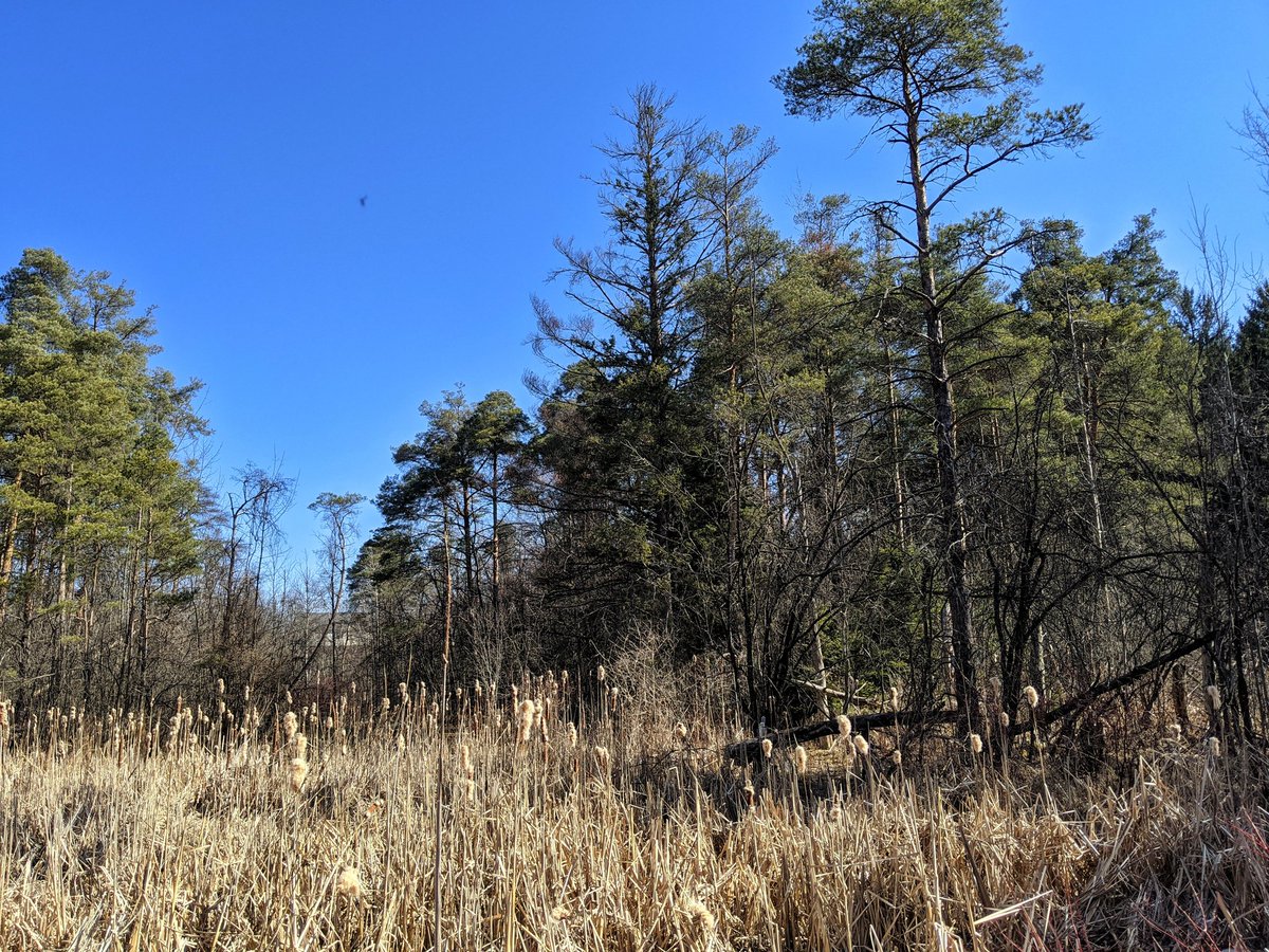
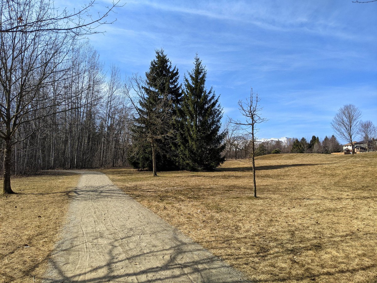
Now entering into a special spot, the Huron Natural Area. On top of being a site of archaeological history, it is a relatively pristine swath that is the headwaters for Strasburg Creek.


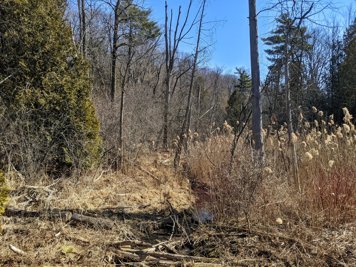
Quite a place. Popular, even on a weekday. Lots of kids, and the only things littering the place are little mitts, hats and jackets.


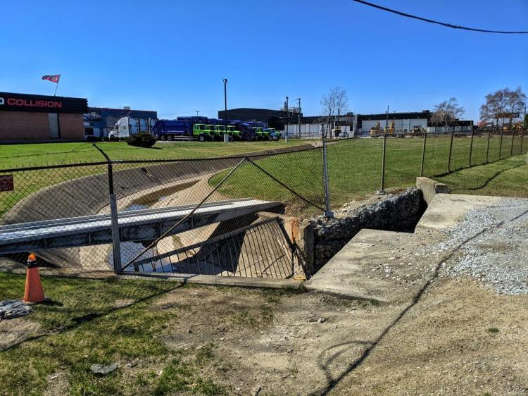
The noise of excavation and back-up beepers at Fischer-Hallman is permeating the tranquility. I planned to turn around here anyway; the final upstream reach of Strasburg Creek’s main branch was a swale through a farmer’s field and a storm pond. I now seek the north branch.

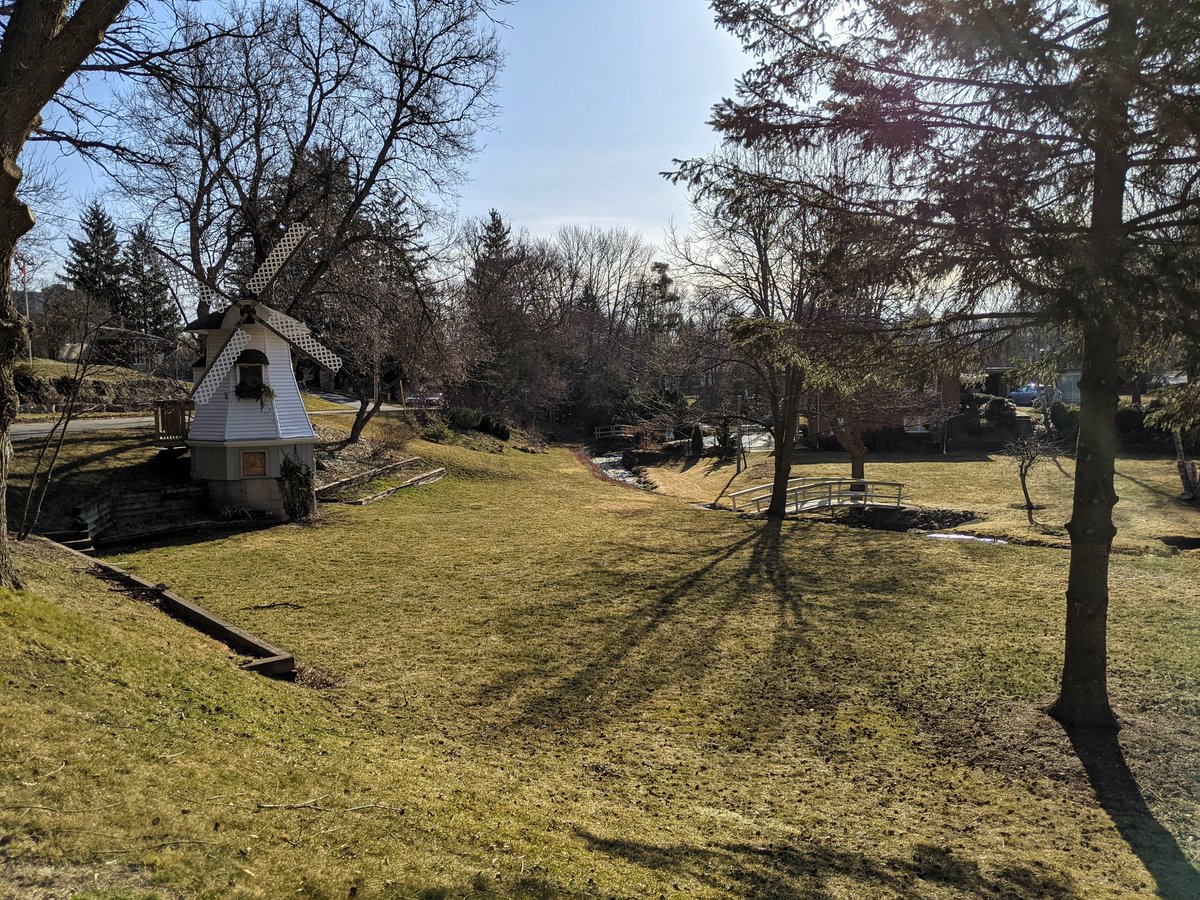
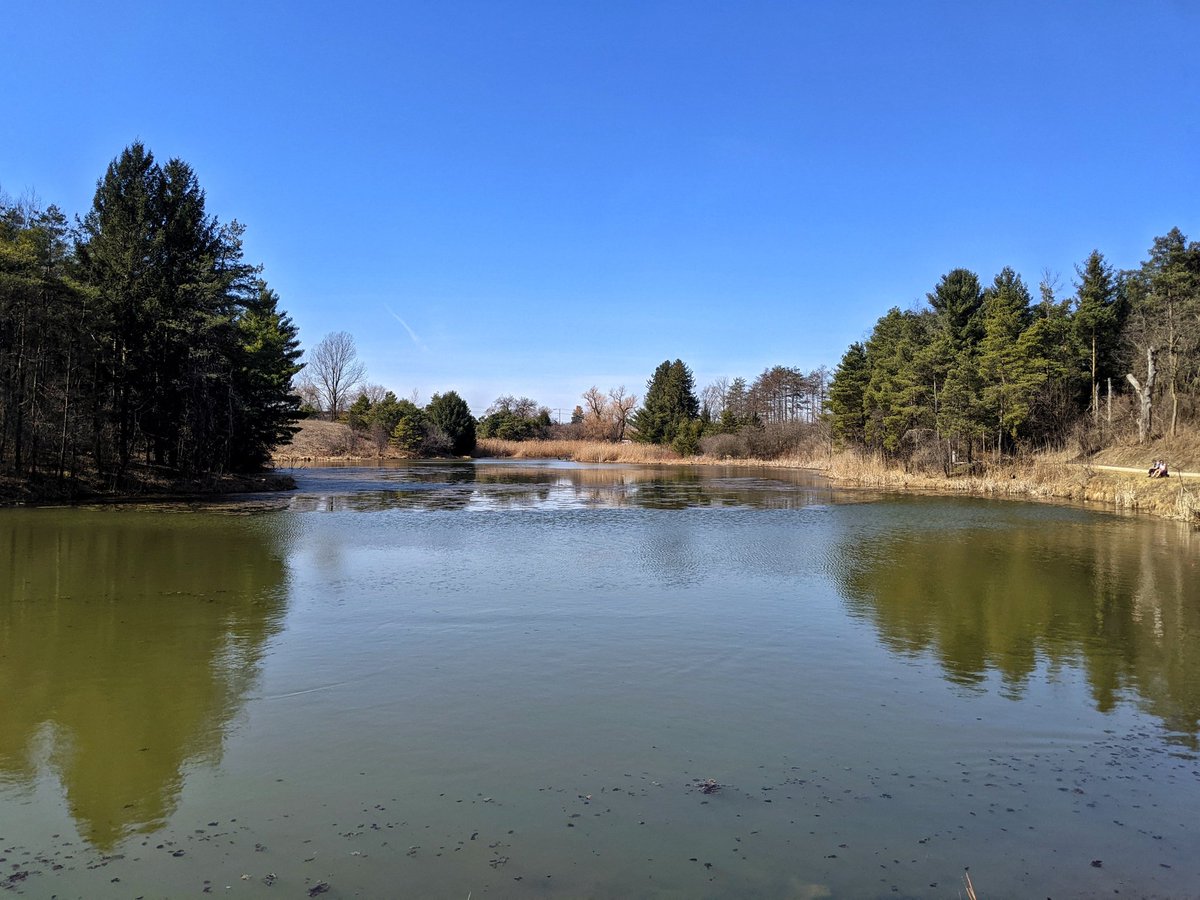
Back to tranquil settings. Ruins reclaimed.


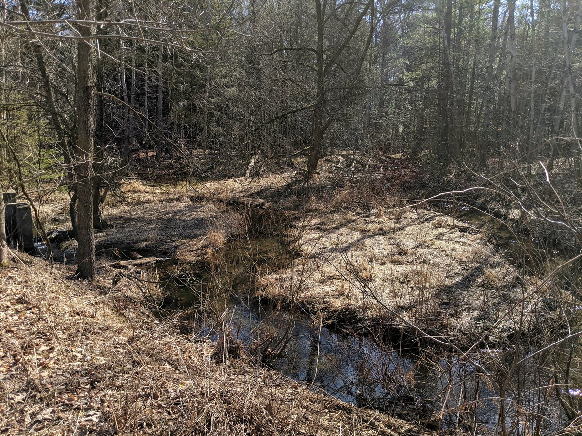
Back on channel. The start of the north branch is mostly fed by stormwater ponds and sewer outfalls. A north outcrop of Huron Natural Area is the exception.


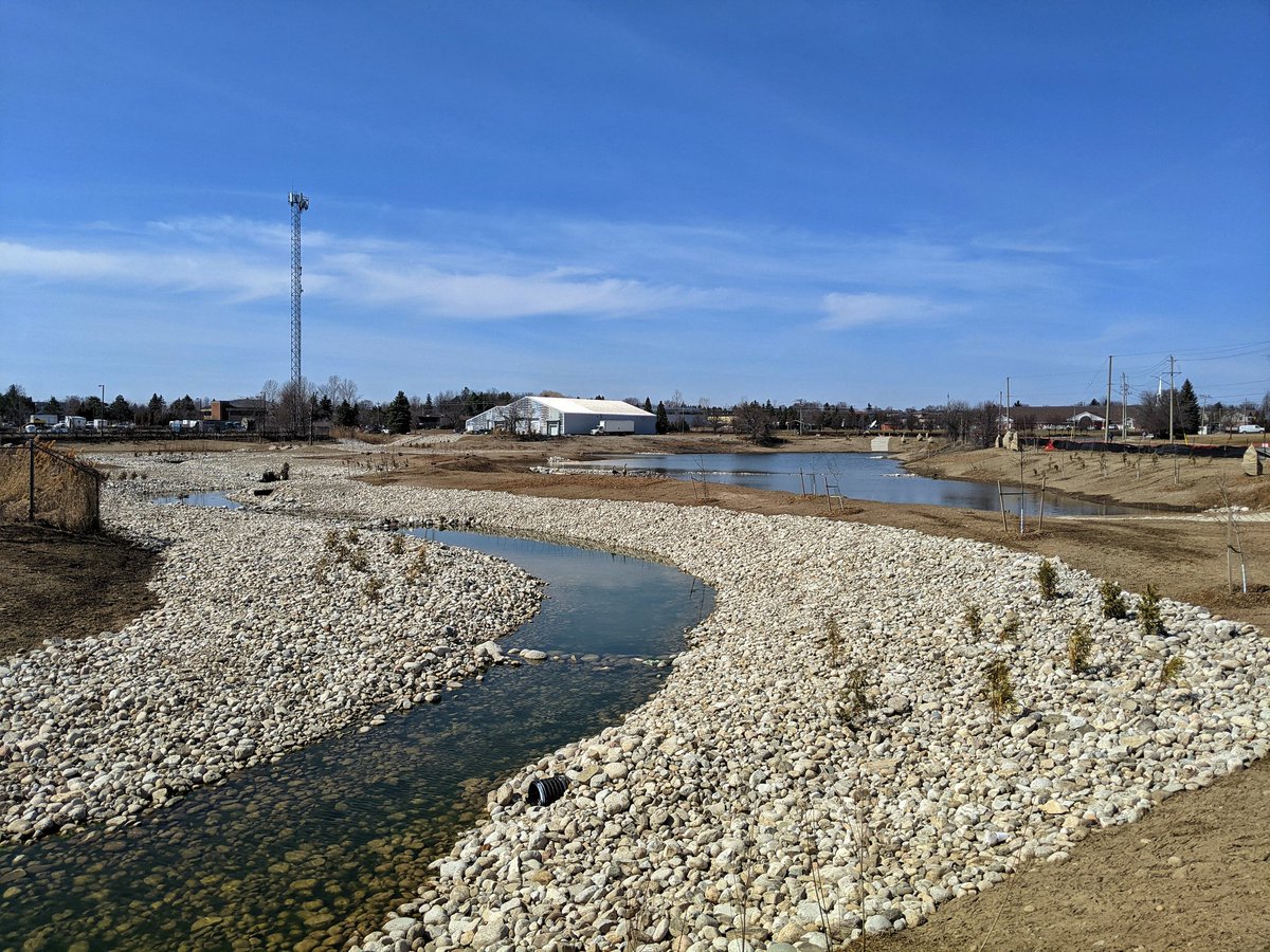
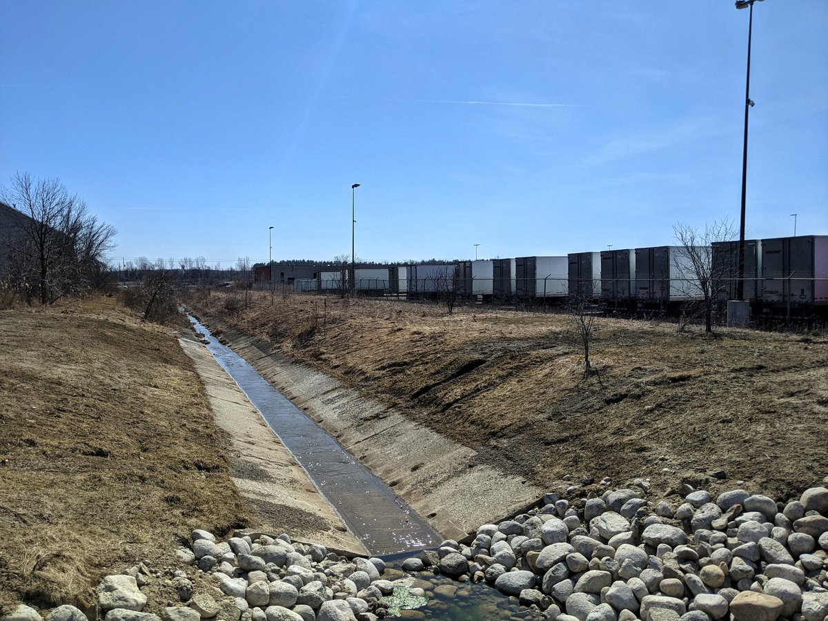
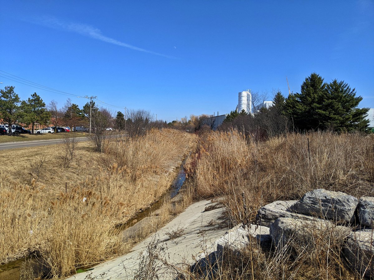
Another concrete channel, and then I hadn’t known what to expect. Looking at satellite images, it looked like this used to be an agricultural field. Turns out it is now a stormwater management pond with a restored channel. Downstream remains urbanized.
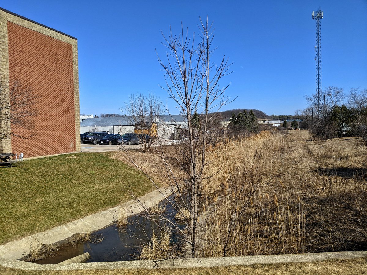

The north branch takes a turn down Trillium Drive. I’ll come back to it, but I’m taking a quick detour along another stormwater management pond and channel that leads from Huron Natural Area. Seems to be a local drainage and overflow channel.


Back into tranquility, and a part of it that reminds me of the Portuguese Swamp. The swamps feed into another Strasburg branch, which will feed into the north branch downstream.


This isn’t a branch to make a big deal out of. It’s a trickle connecting a bunch of stormwater ponds, and the corridor is choked with overgrowth.


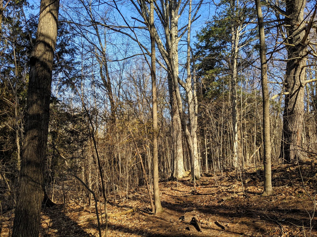
Final woodlot jaunt for the north branch, but I can’t see it. That’s going to mark the end of today’s walk.

Date: March 22, 2021
Length: 20.2 km
Type: Riverine