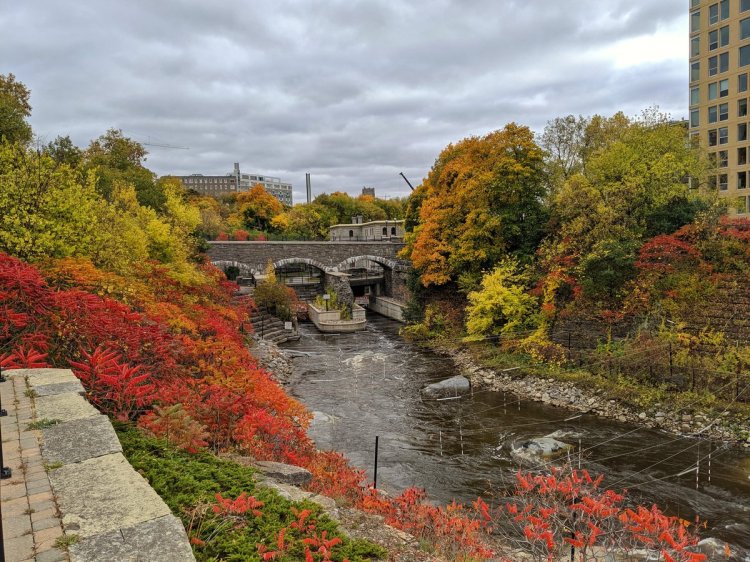
Good morning from the banks of the Grand River. Today I will be tracing Schneider Creek from its confluence north towards the Kitchener-Waterloo border. Let’s go.

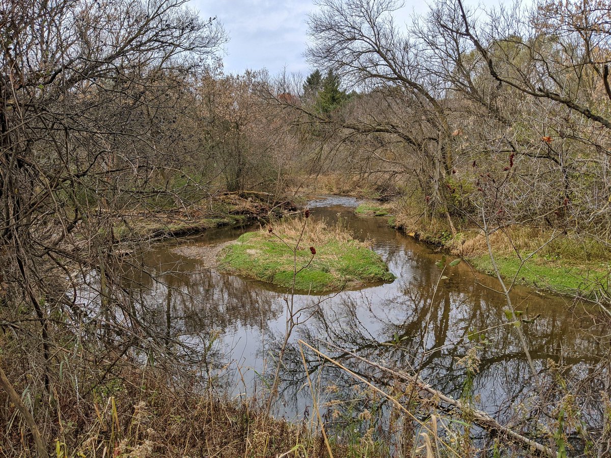
The confluence is north of Willowlake Park. There’s a little island just past the Old Mill bridge.


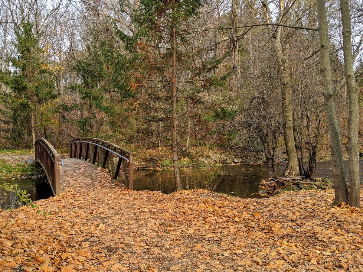
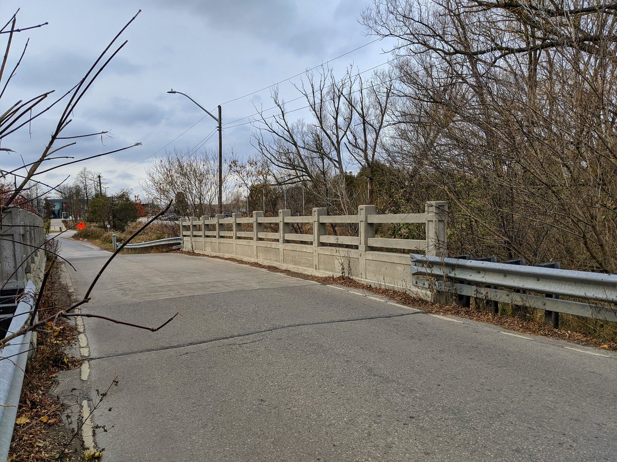
Through Homer Watson Park to the boulevard of the same name. There’s a new pedestrian bridge here, with underpasses to continue along the creek.


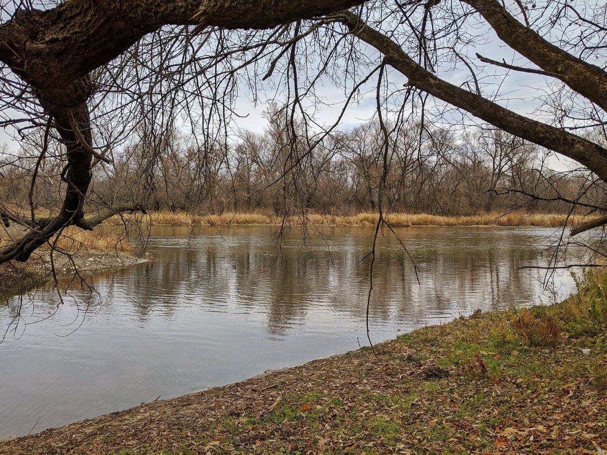
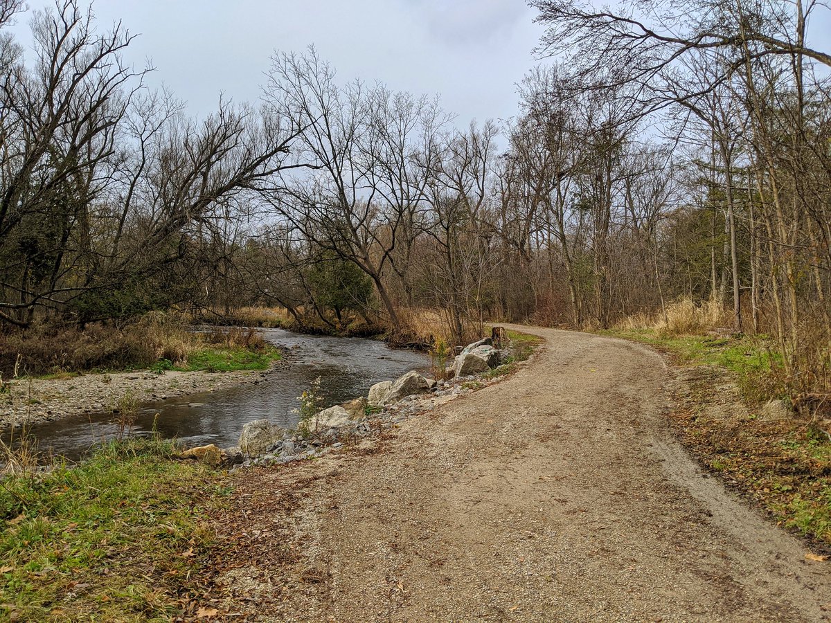
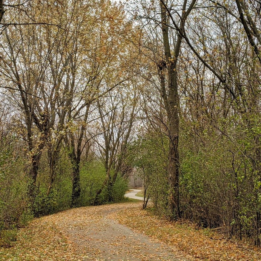
The creek meanders through a heritage area of Doon. Under two historical bridges and into a greenway.


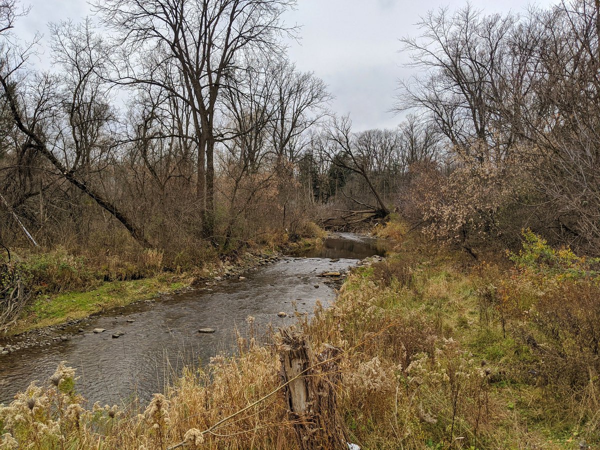
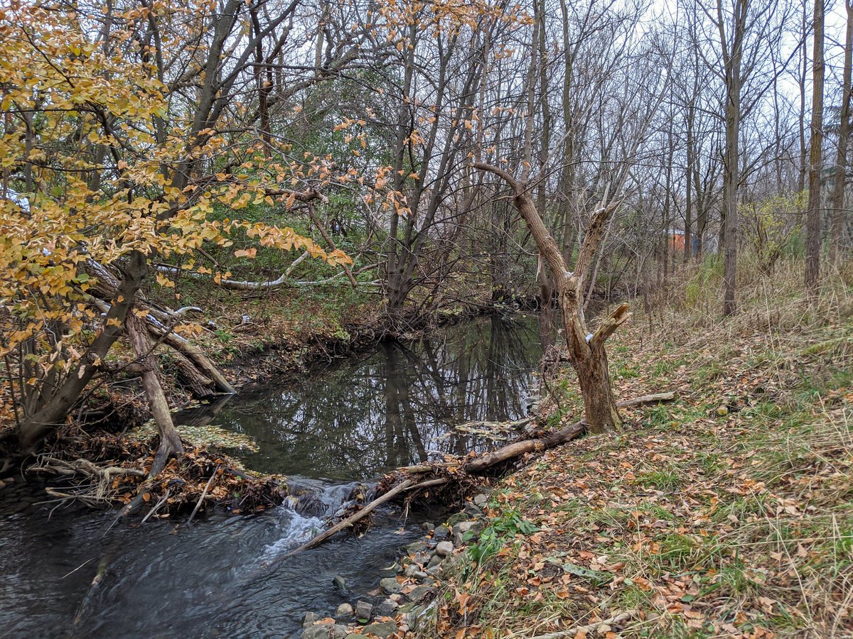
Fairly pristine ravine. Only sound of human activity is someone cutting their grass.


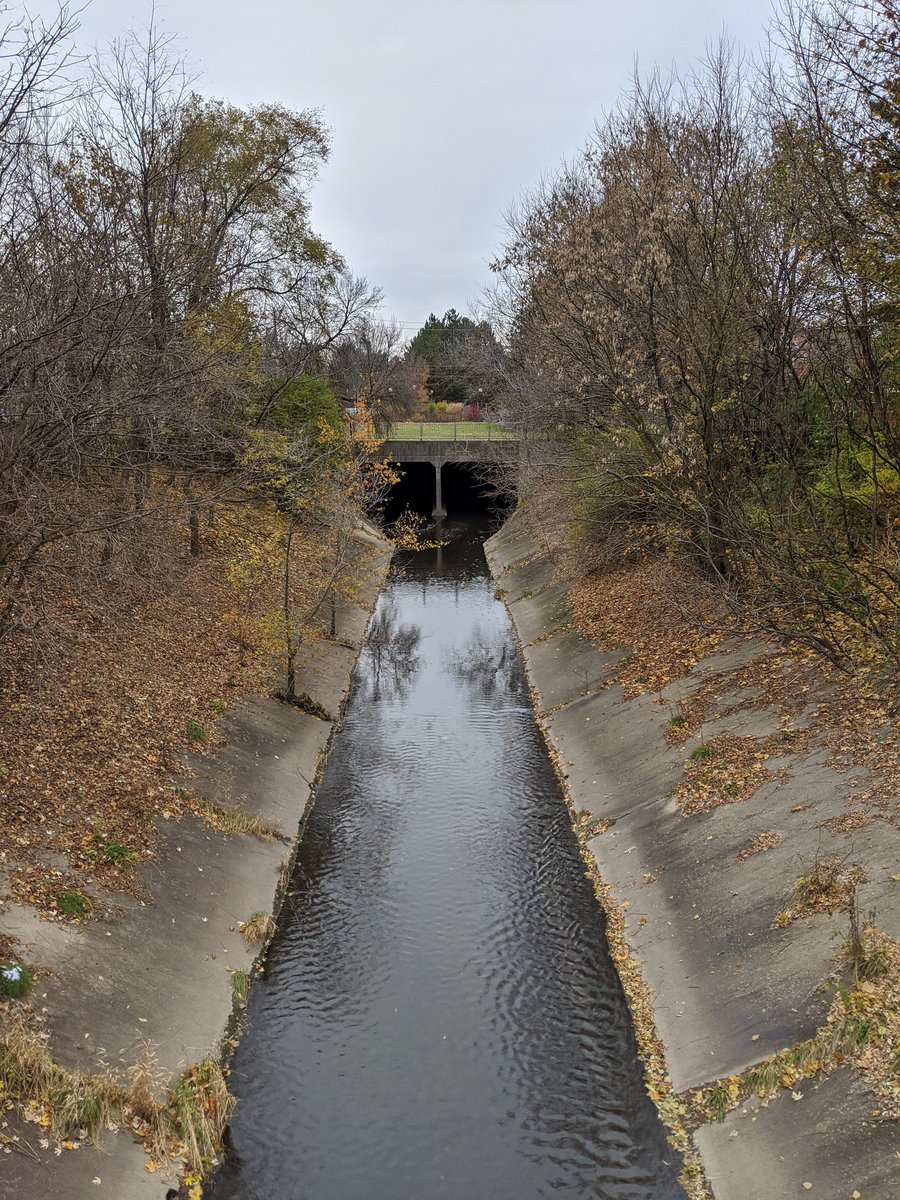
Back under Homer Watson again, and to more heritage. Bridge is circa 1930. The creek continues through a heritage village that’s part of the regional museum, but it is closed, forcing a detour.


There’s only one thing as bad as private riverine golf courses, and that is publicly owned land of any kind with restricted access. Anyway, at least the view of the Grand makes up for it a bit.


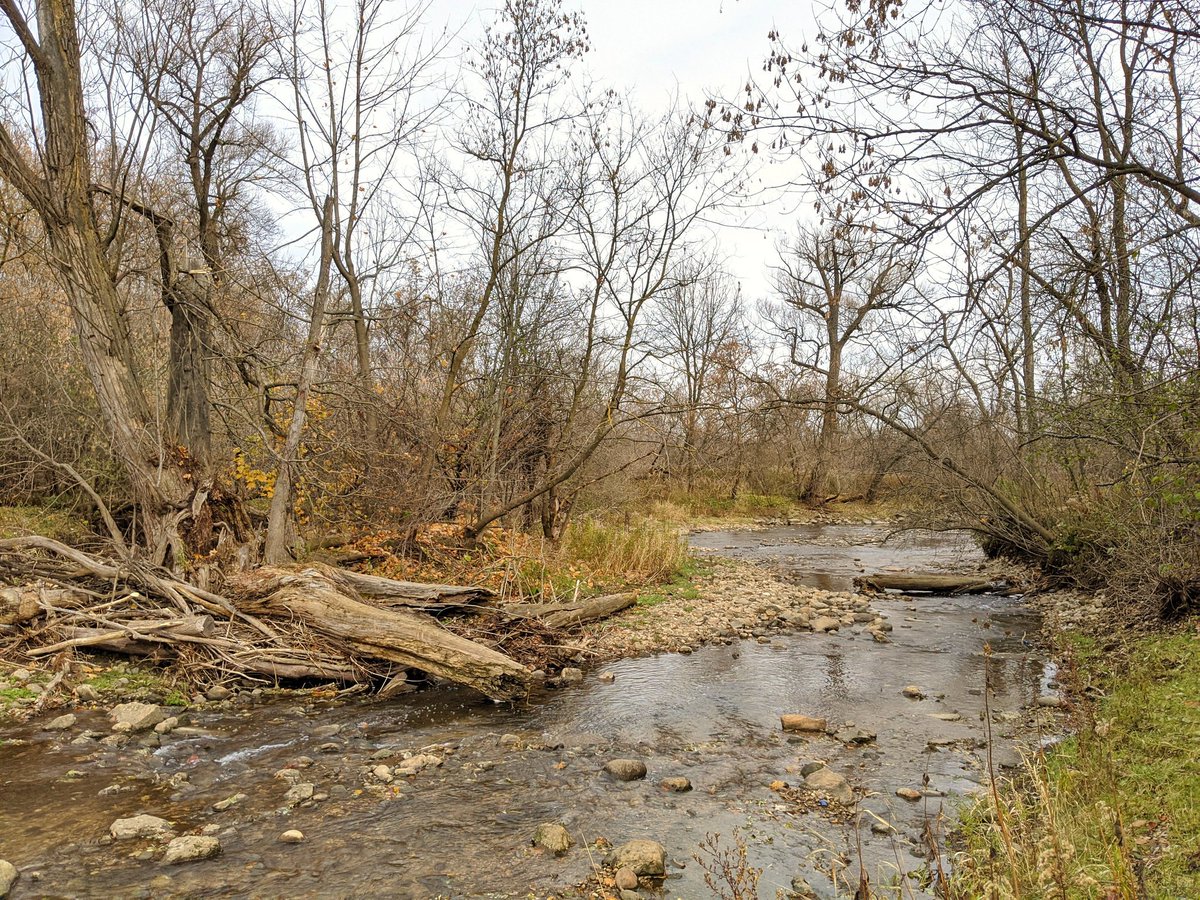
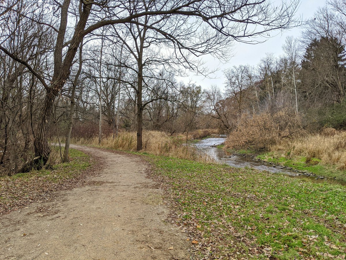
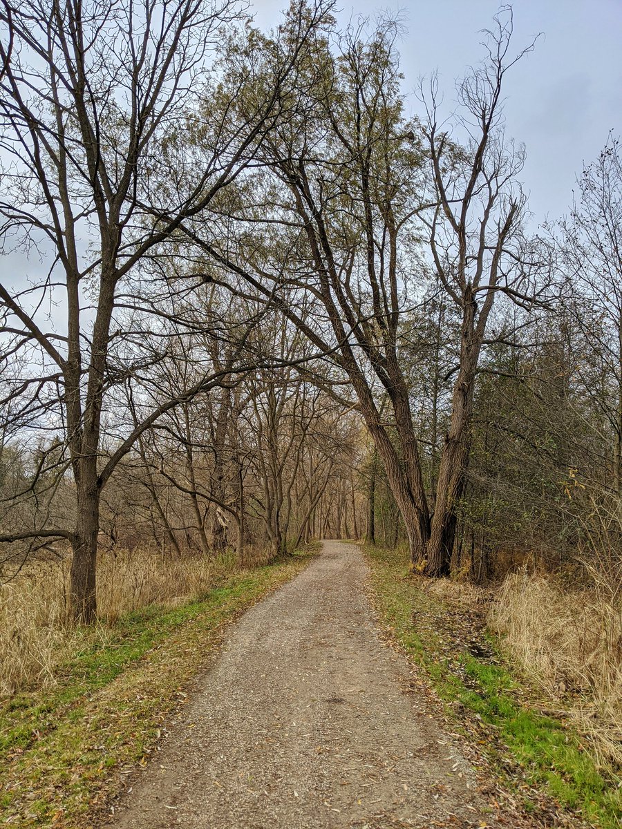
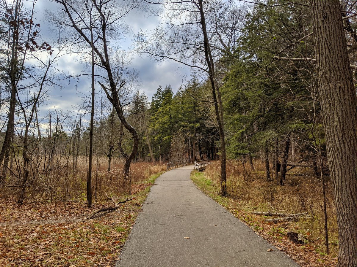
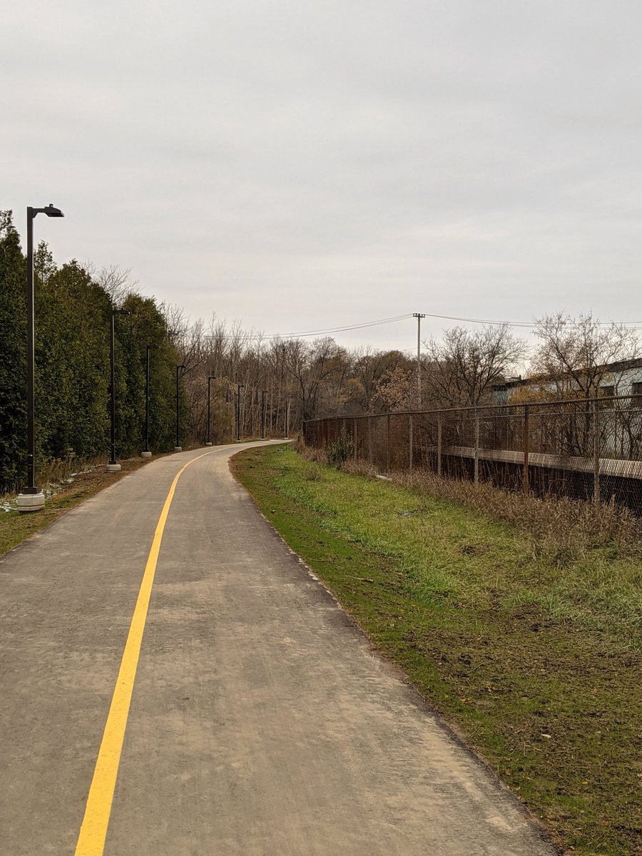
Back into the forest interior. Wide and proper trail, remnants of snow accumulation.


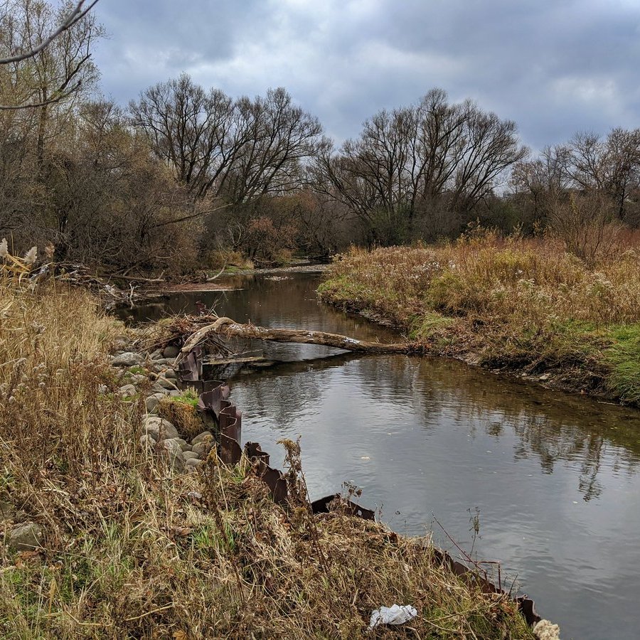
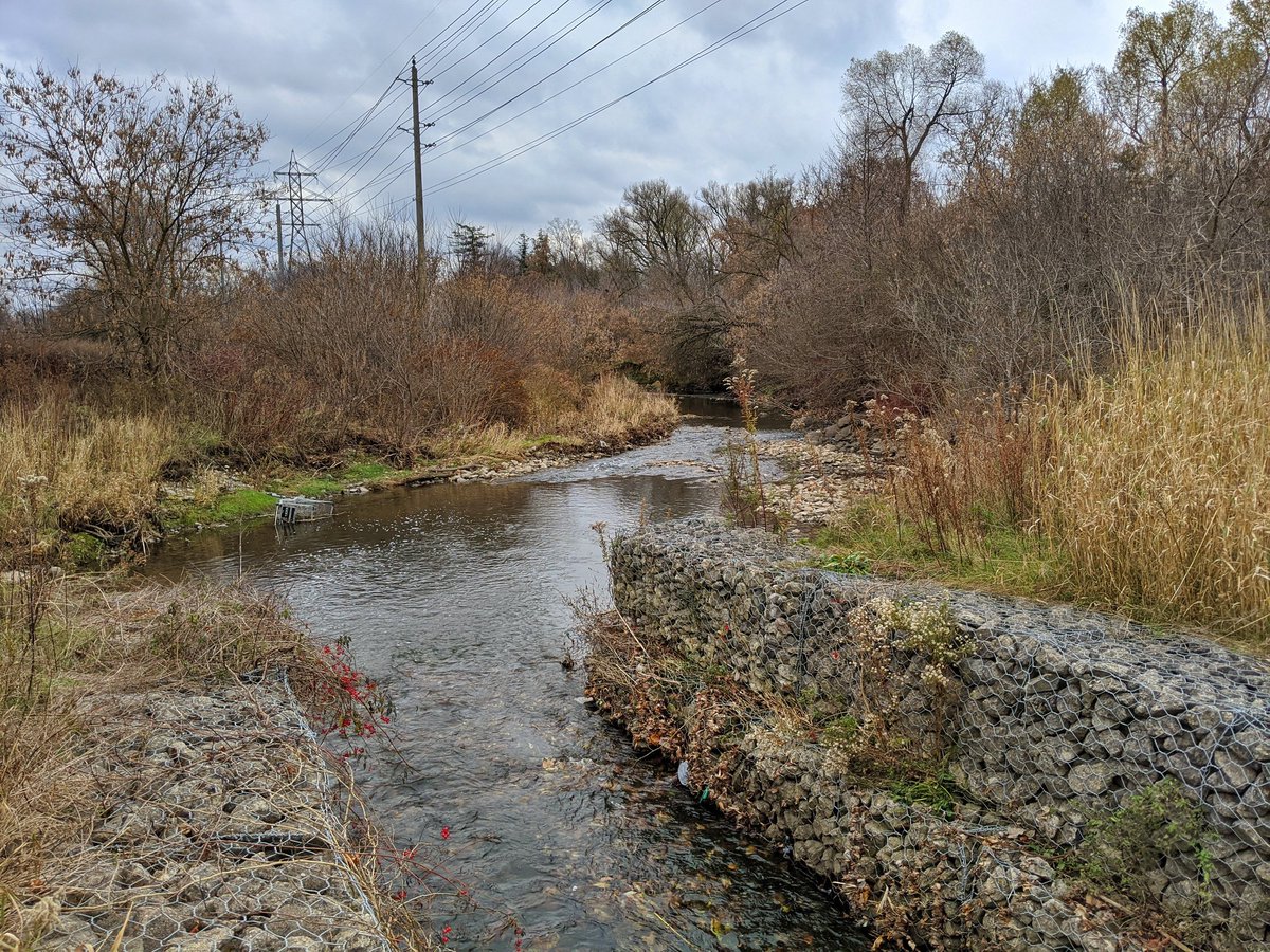
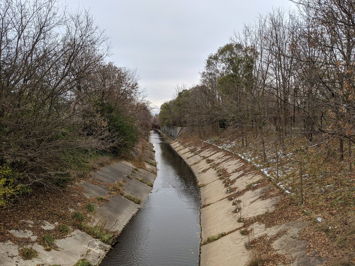
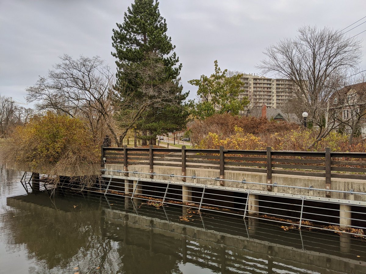
The trail quality is a nice distraction, but as it starts getting back in proximity to the creek, there are signs of flooding and erosion issues. Saturated meadows, tree death, and ad-hoc sheet piling. Symptoms of poor stormwater management.


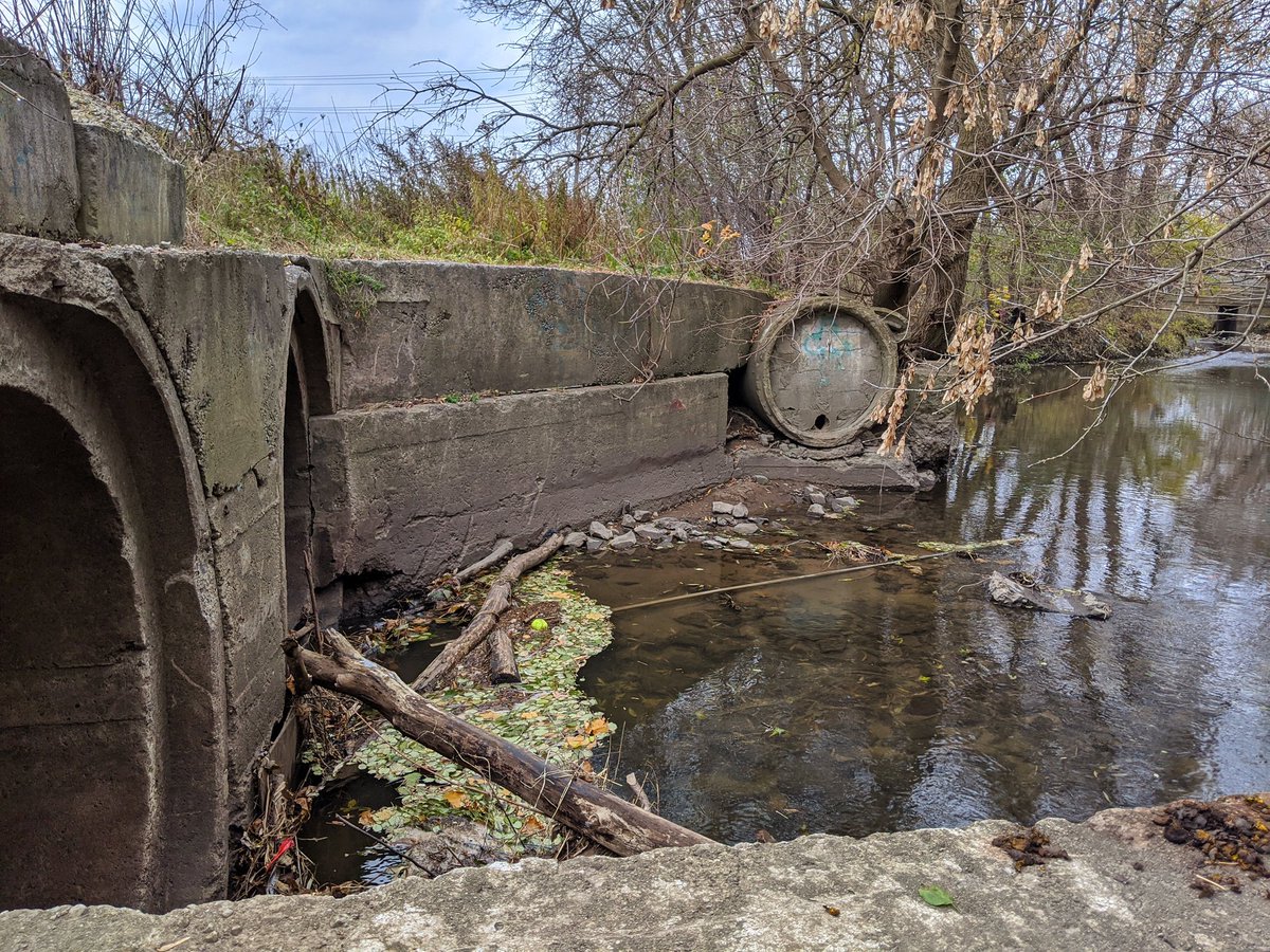
The trail becomes a utility road, and the backdrop looked imported out of a Soviet bloc. We’re now where the creek meets CN’s Huron Park Spur, and the confluence with Balzar Creek. Channel is thinning and urbanizing.

Tough stretch to navigate. No trail north of Balzar Rd, leaving me to push through the brush in search of a trail to the Hallman Ball Yard. I get there, but then access to the park is closed. The creek continues north.


I spoke too soon. This was a tough stretch, no trail and overgrowth was thick. Broke out at the Conestoga Parkway to find a city golf course…that was open! Not sure if it was sanctioned, but saw no gates or signs until I needed to get back out.
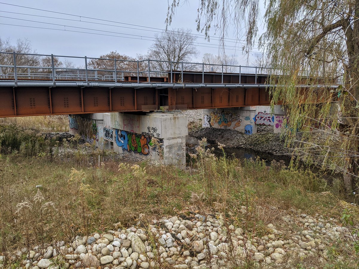


Sudden character change. This reach of Schneider is much more reminiscent of something I’d find in Toronto. Flashbacks of Black Creek.


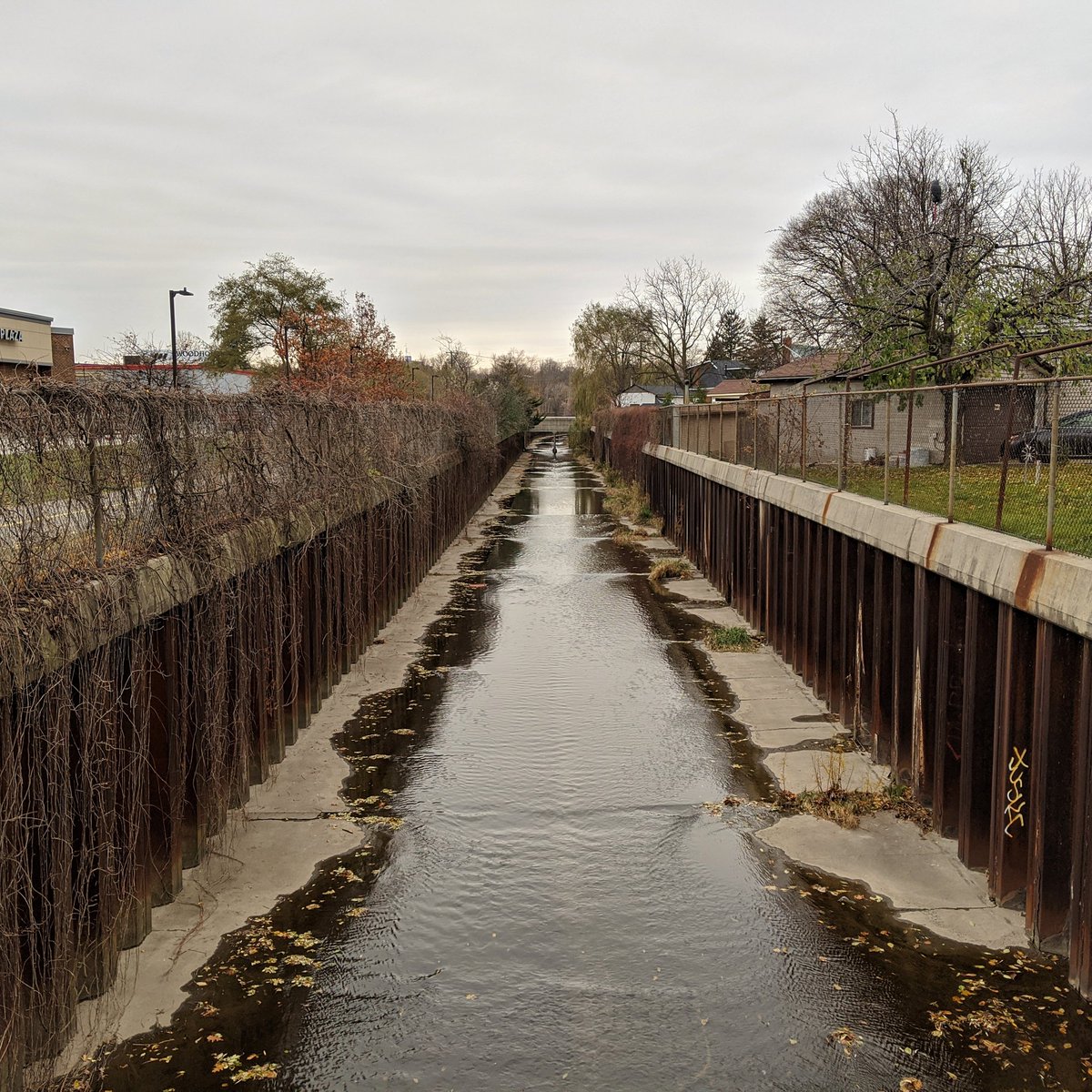
Despite the creek being channelized, there is a half decent trail. A plaque also tells me that this reach was buried in an underground conduit until some homes were expropriated in the 1980s, and the creek was daylighted to ease flooding.

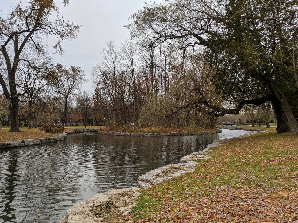
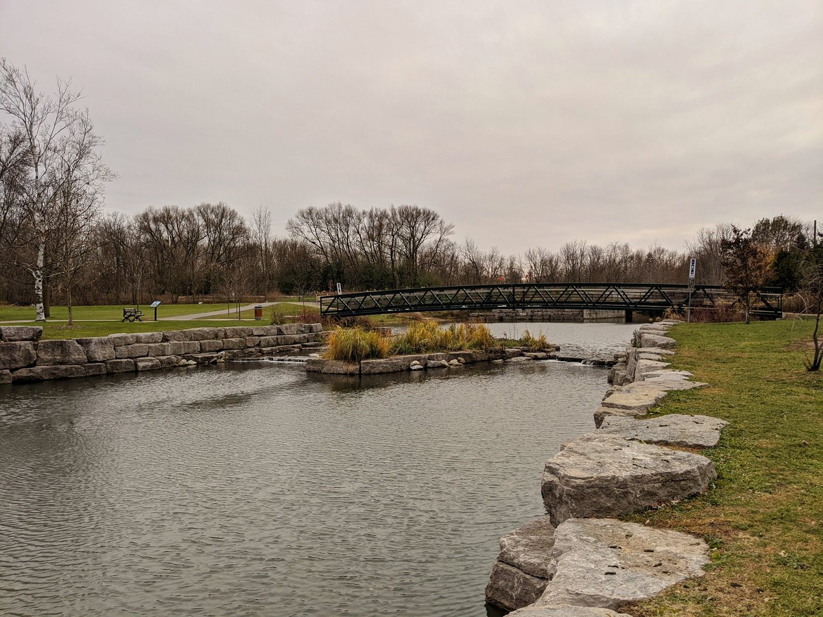
Victoria Park. Although there is history here, this is also the product of a stormwater management project completed in 1985. I’m sure it’s pretty outside of this time of year, when trees are lush or the ground is snow covered.

Upstream of Victoria Park, Schneider Creek ceases to be, as it forks into two separately named Creek’s: Henry Strum and Westmount. I followed the latter until Gage Ave, where it becomes lost and buried.


Westmont Creek may have historically flowed where the Iron Horse Trail runs now. Anyway, it’s almost dark now, so this is where I end today’s walk.


Date: November 9, 2019
Length: 18.0 km
Type: Riverine