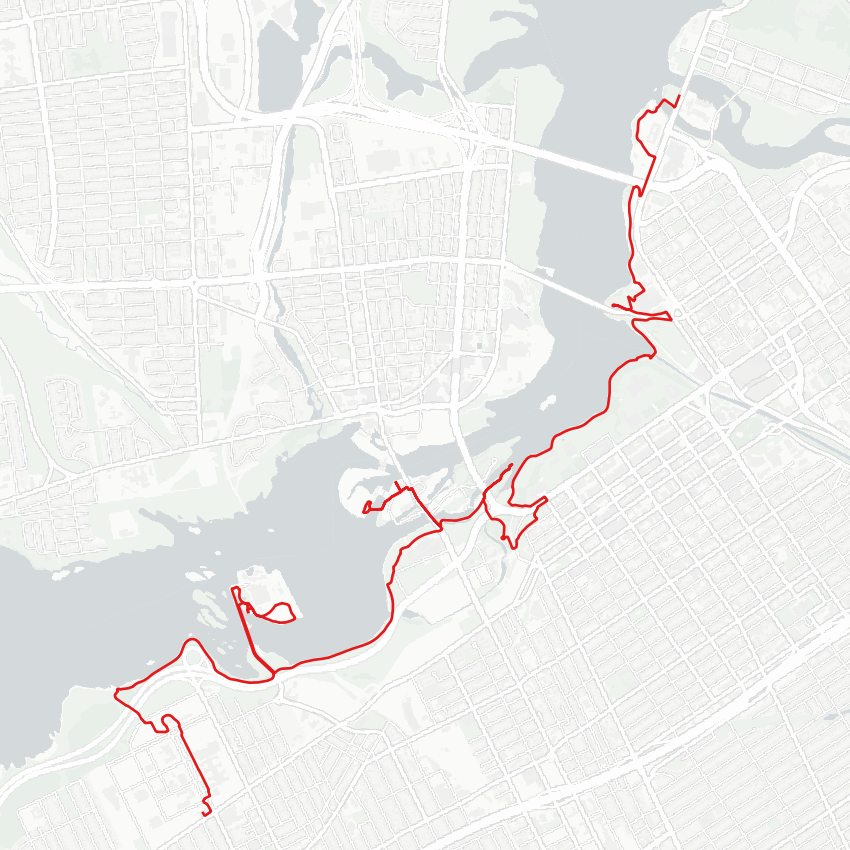
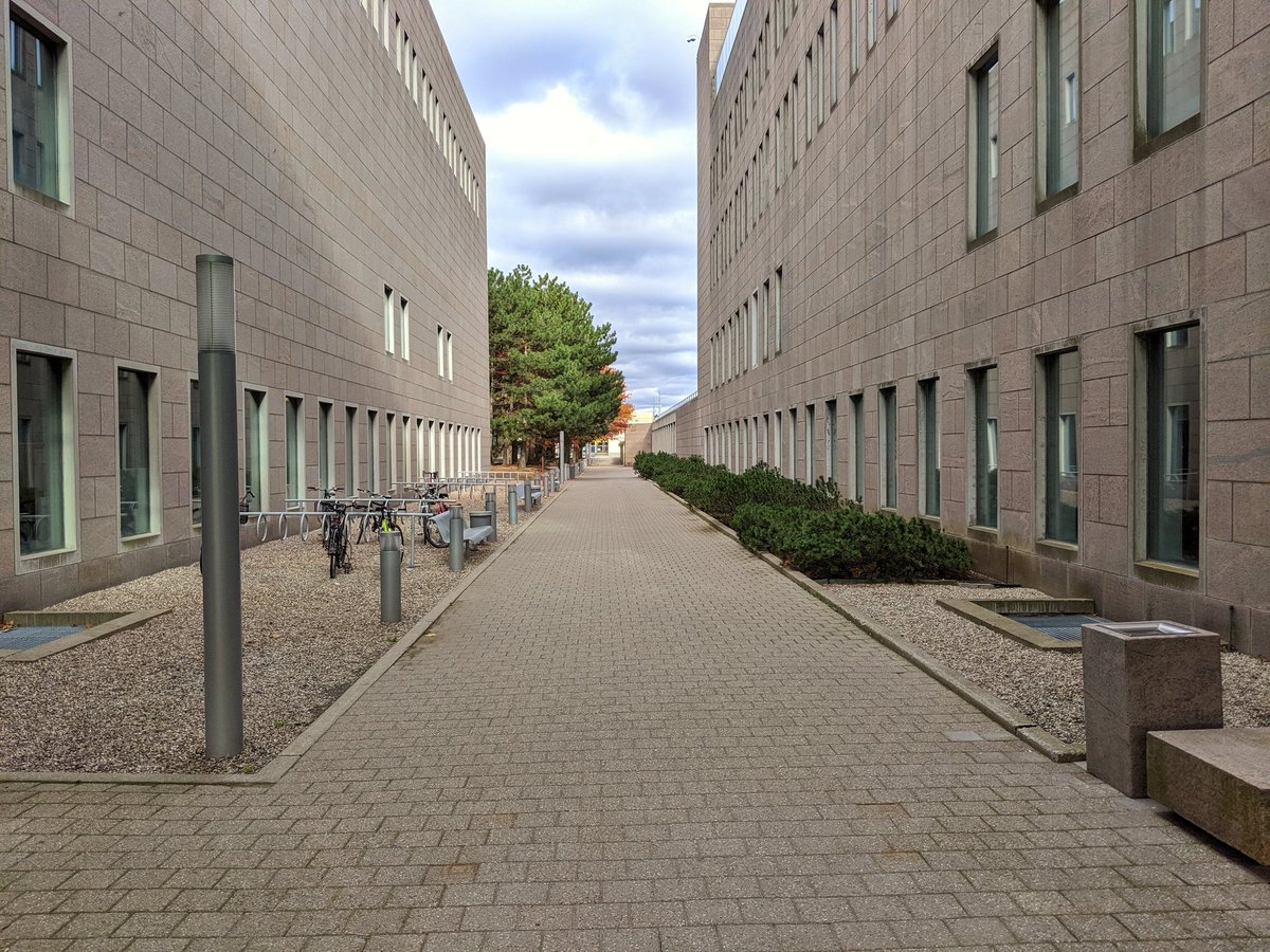
Good morning from west Ottawa (proper). Bit of a chilly day, but nonetheless a good opportunity for a walk during a visit to a different city. I will follow the Ottawa River east to Parliament and the city core, but first have to traverse Tunney’s Pasture. Let’s go.


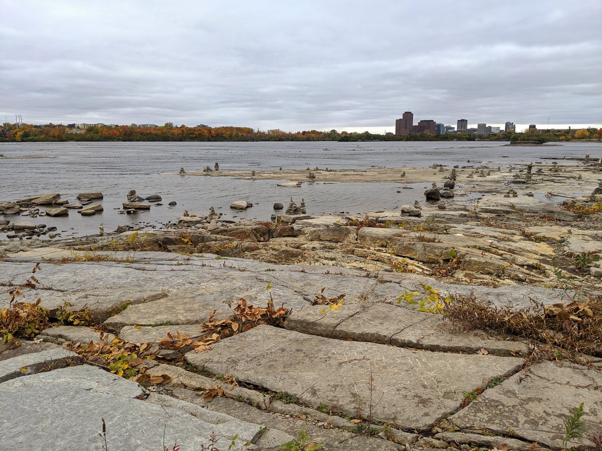
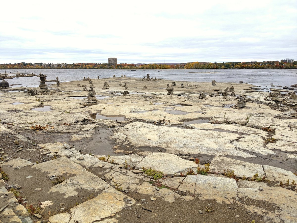
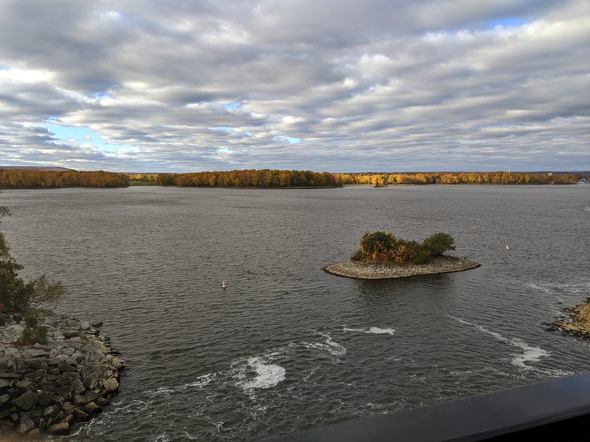
Across John A. Parkway, and to the shore. Shield rock in the foreground, fall foliage in the background. It’s a huge river,but is broken up by islands in some spots, big and small.


One of the big islands: Lemieux. Home to water treatment plant. Not as grand as RC Harris (or accessible for that matter), but plenty of nice views. Includes the Prince of Wales Bridge; possible active transport bridge, or transit bridge. Argument ongoing, I think it can be both.


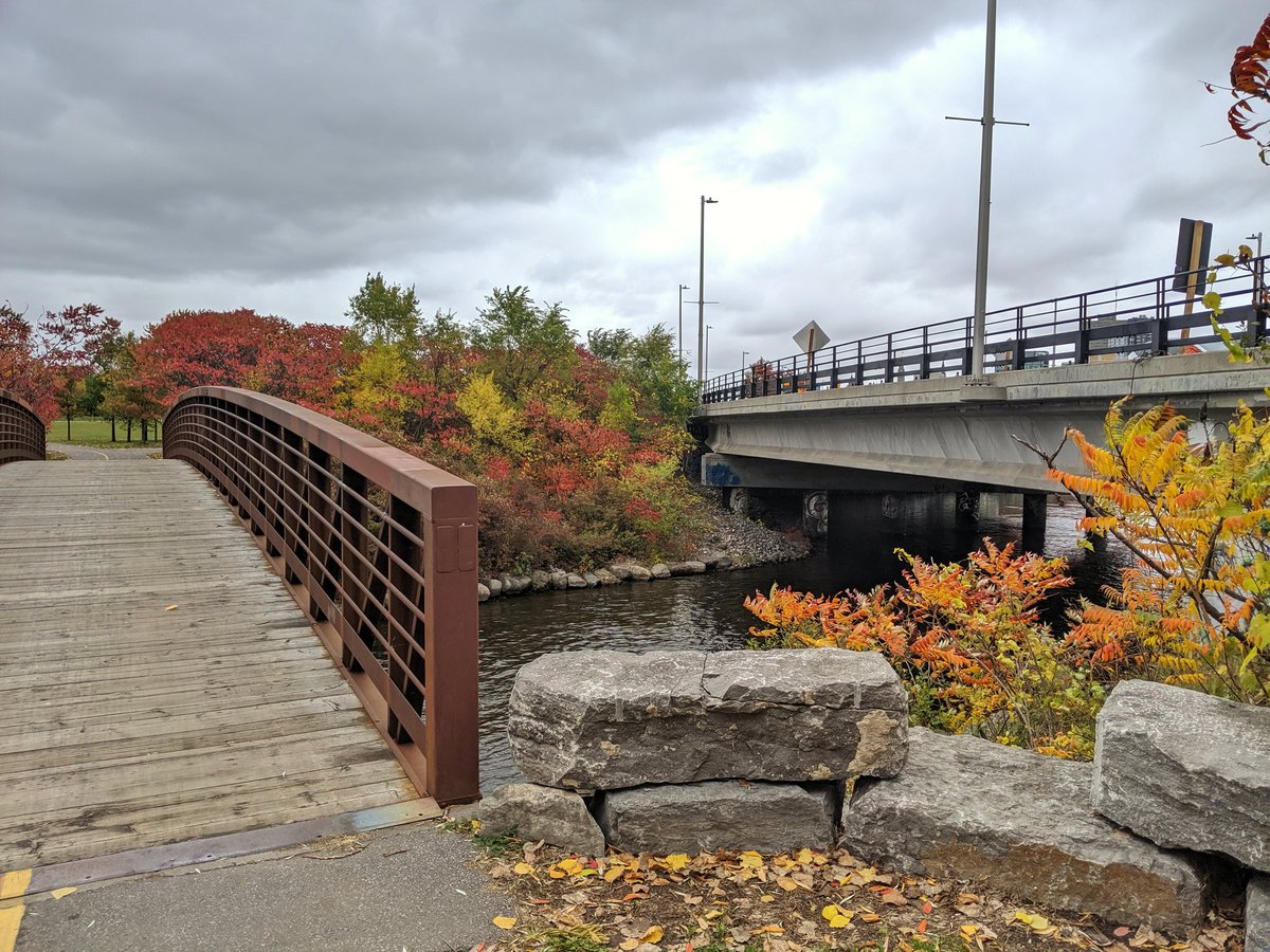
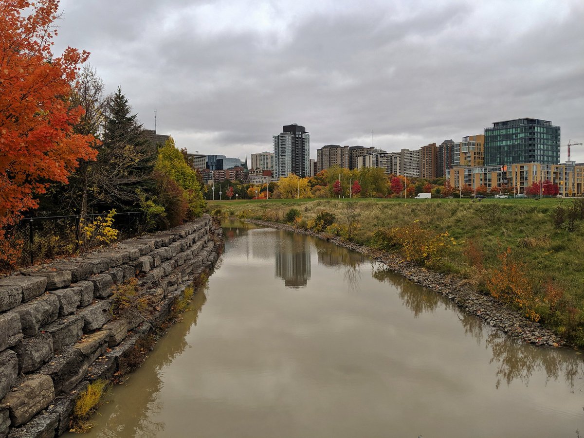
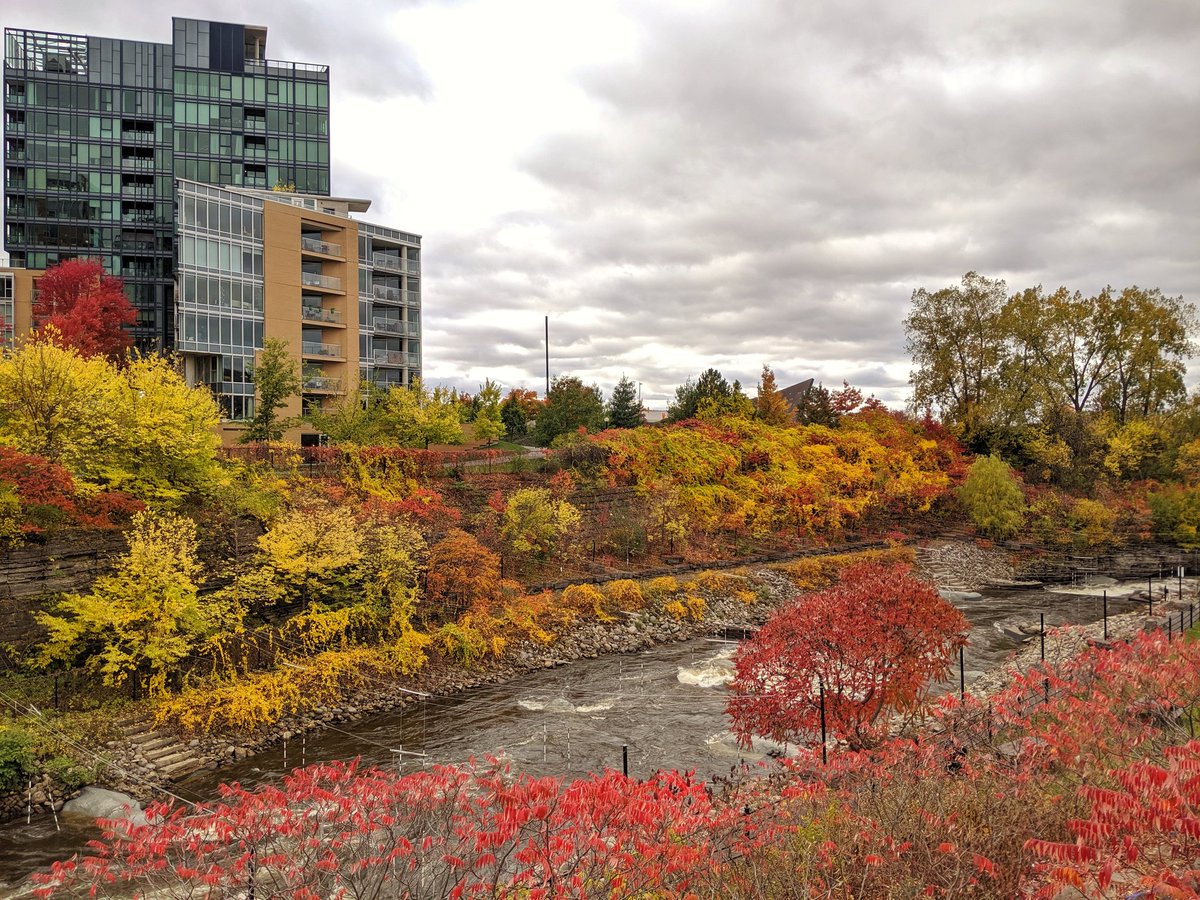
Continuing east, and over a cove leading to a canal. Pathway detour, it seems new connections to Chaudiere Falls are being built. Long overdue, but wish my timing was better. Nonetheless, I’m going to try to get over there via Booth Street.
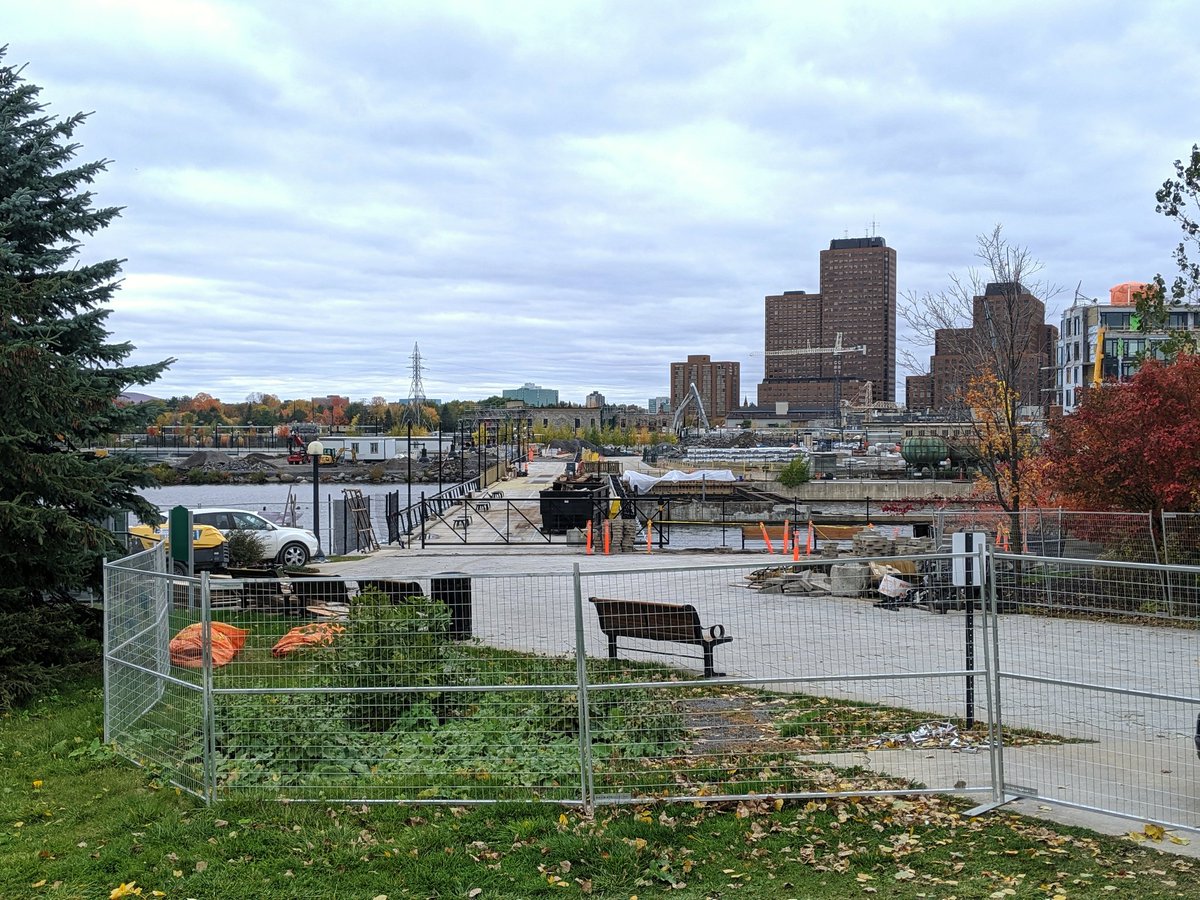
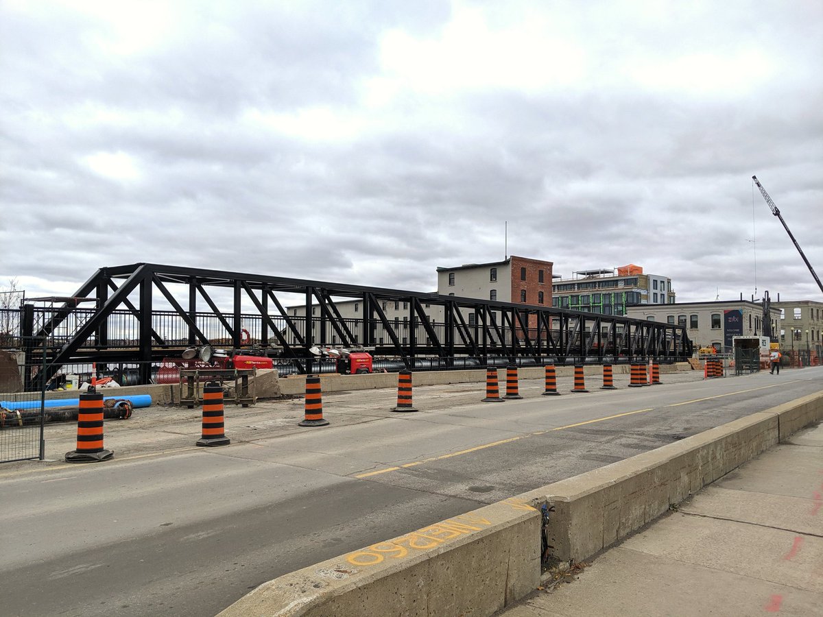
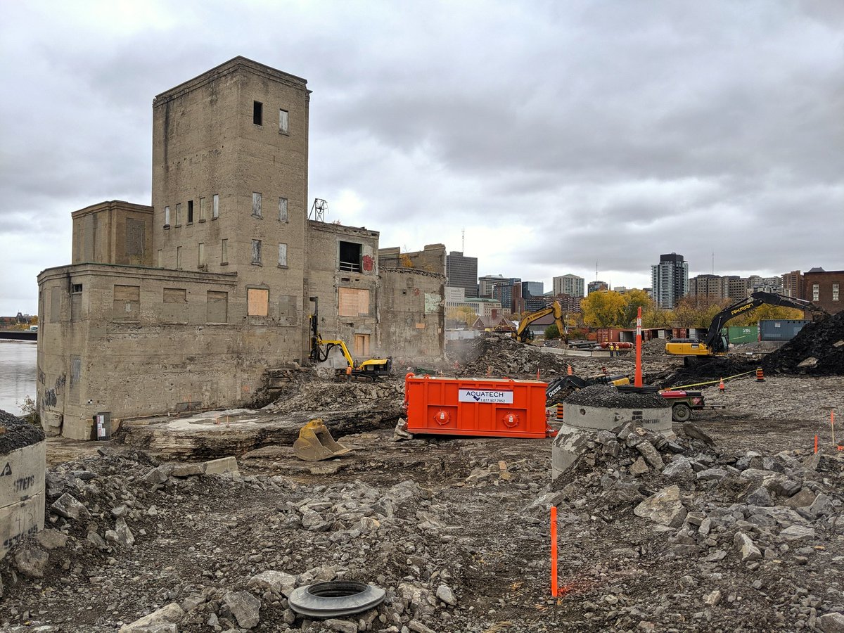
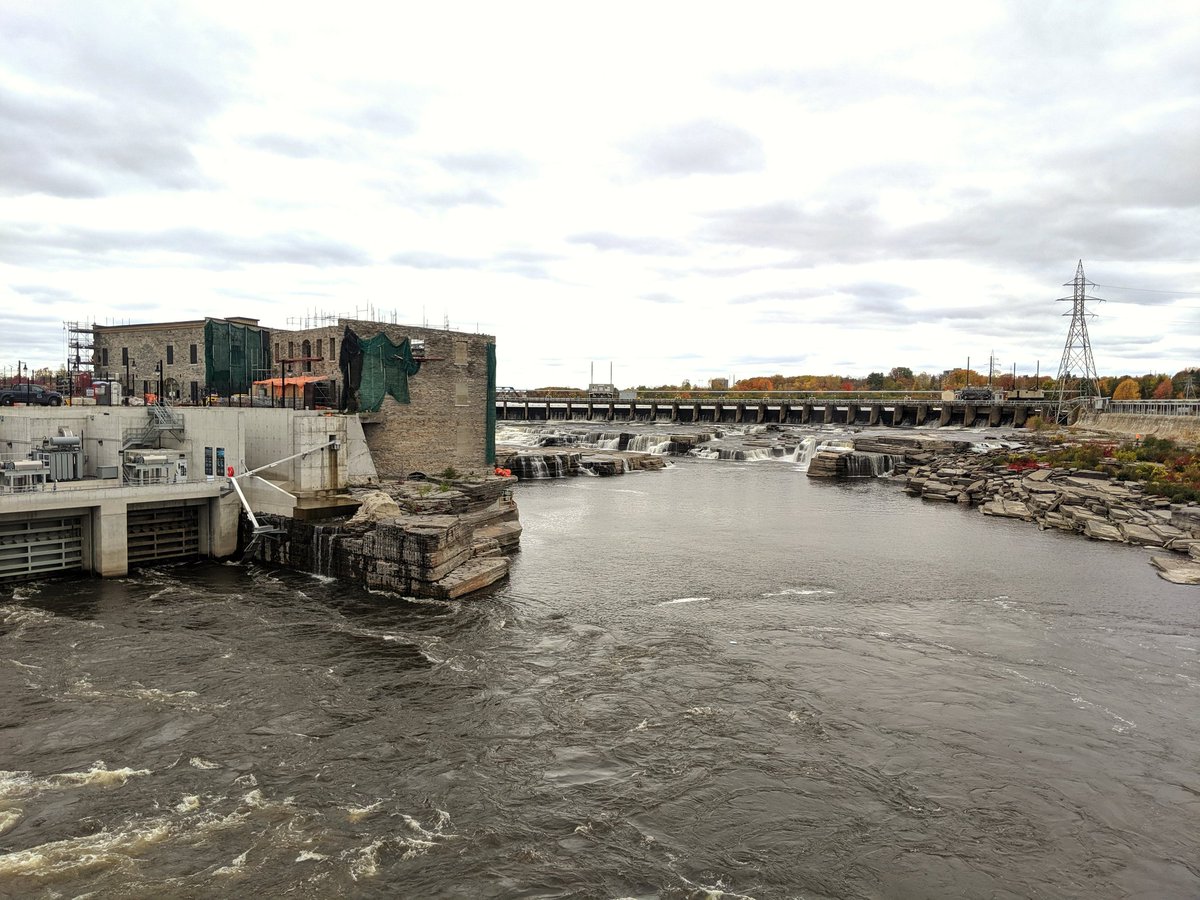
Insane maze of canals, bridges and structures under modification. I picked a hell of a time to come here, but I’m sure it will look good when it’s done.


What was once only visible from a narrow gap beyond the far side of a bridge, is now front and centre from a nicely landscaped public lookout. And better connections are yet to come. This is what it’s all about, and what other cities need to put greater effort into. Tres bien.


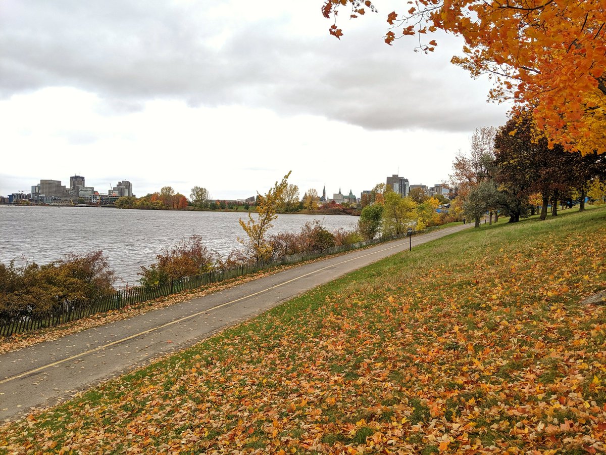
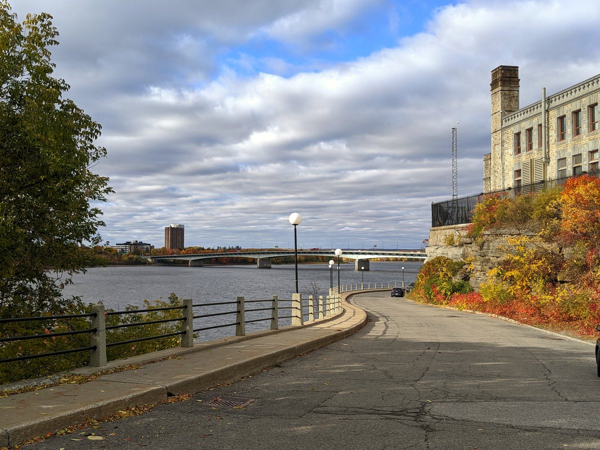
Off the island and back east on the Ontario side. Path leads to my favourite perspective of the hill and the river: Richmond Landing.
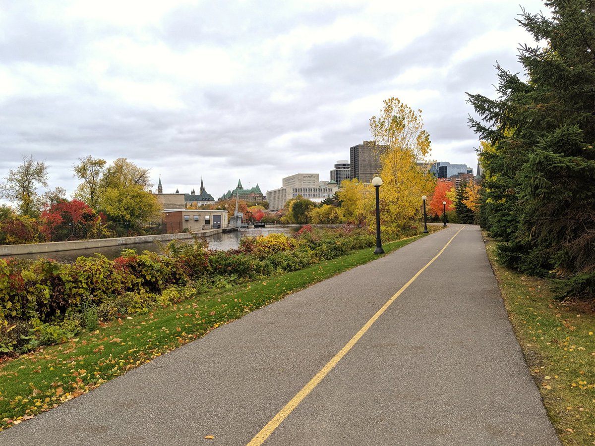


Much of Richmond Landing is closed for renovations, so another detour, but a happy accident. This is where flows from the cove I crossed earlier wind back north into the main river channel.


To Parliament and around the foot of the cliff it stands on. The clouds are trying to break, but no saying if they’ll part enough to see some of this sunlit.


Standard tourist shots. The Hill ended up looking a little more ominous than I expected.


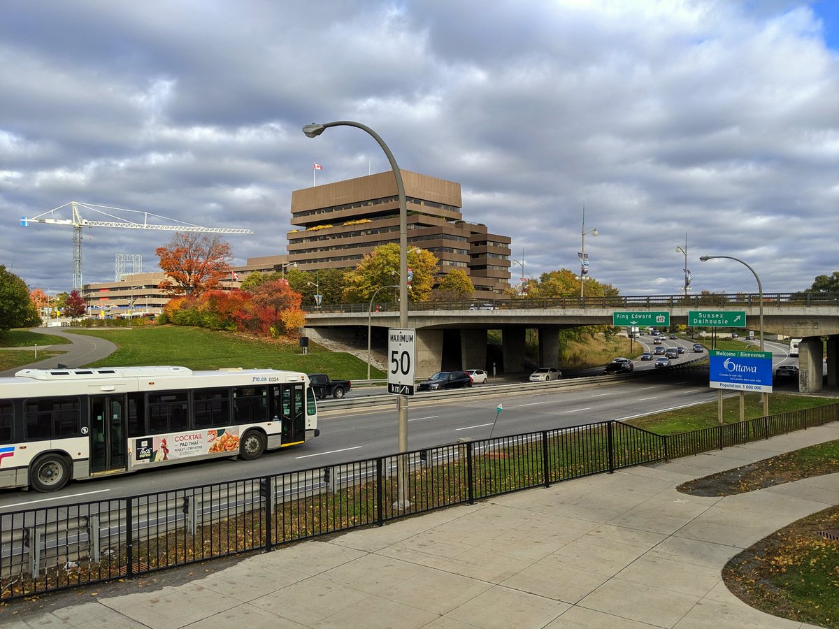
Nepean Point and the National Gallery present a barrier to the water, but I managed to find a tucked away pathway to Lady Grey Drive, and on to MacDonald-Cartier Bridge.

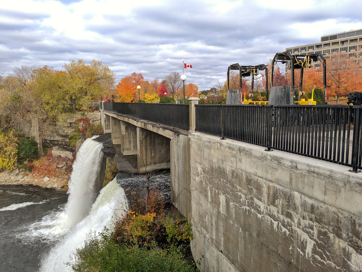
Rideau Falls, the confluence between the two rivers. This is where I finish my walk today.
Date: October 18, 2019
Length: 14.0 km
Type: Riverine