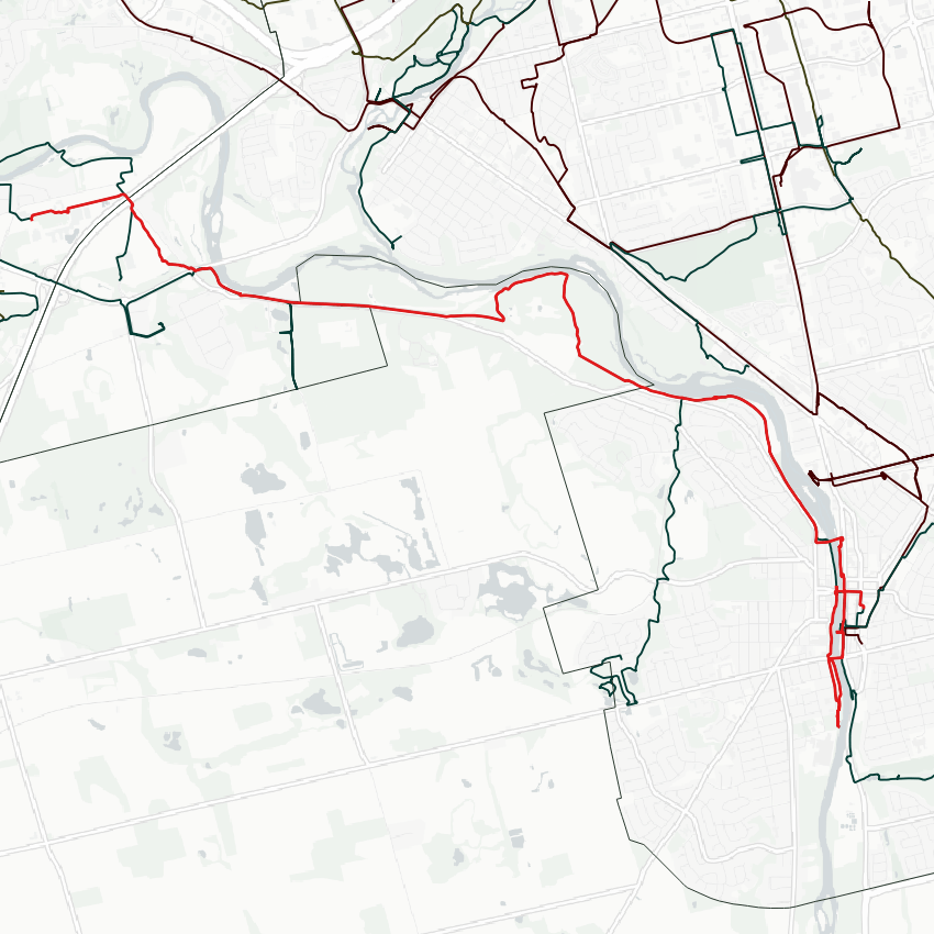
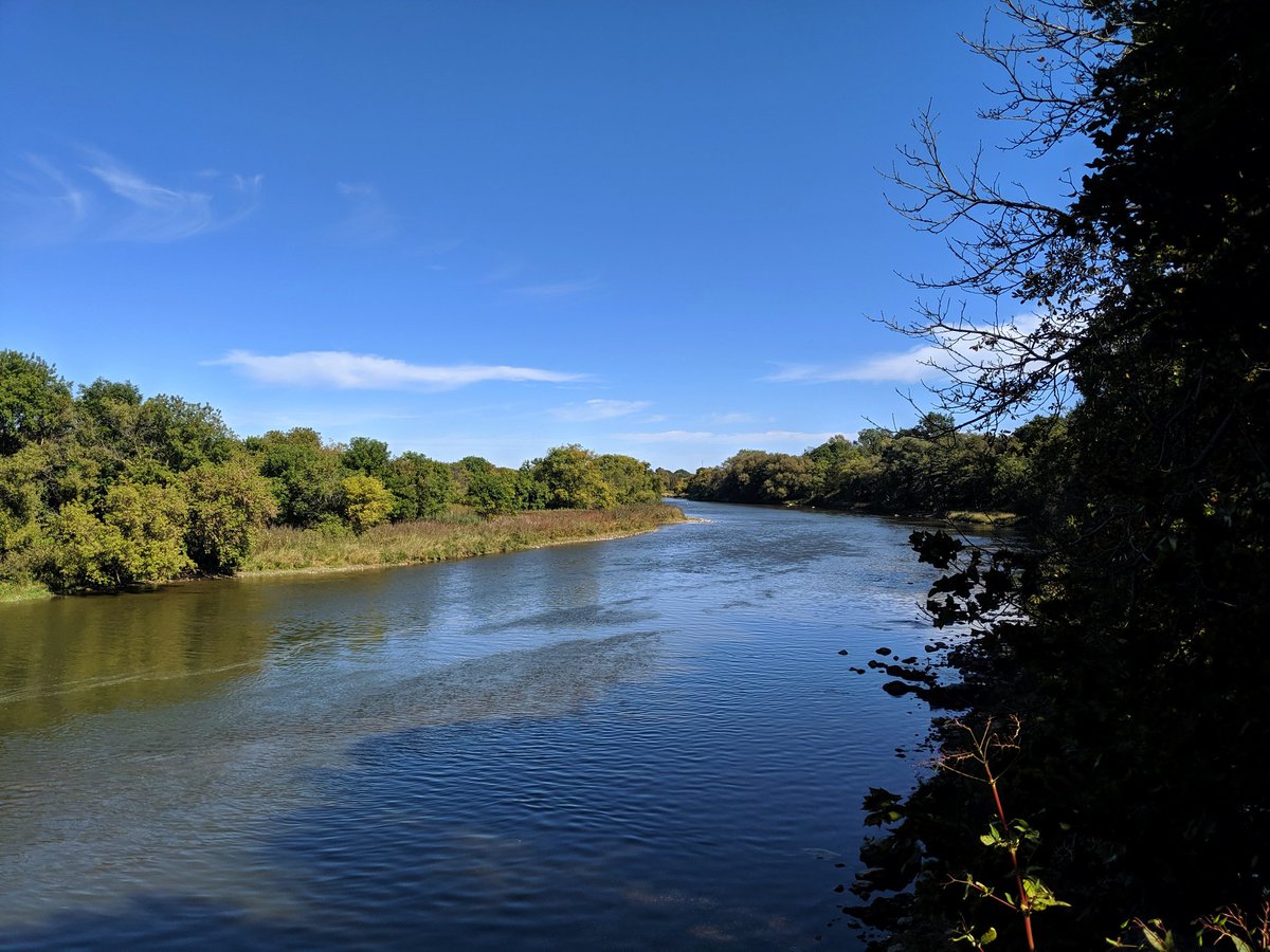
It’s a lovely fall day for a walk. I’ll be tracing the Grand River today, starting from the south end of the tri-city. The spine of the Grand River watershed, it drains an area larger than PEI before going to Lake Ontario. So let’s go.

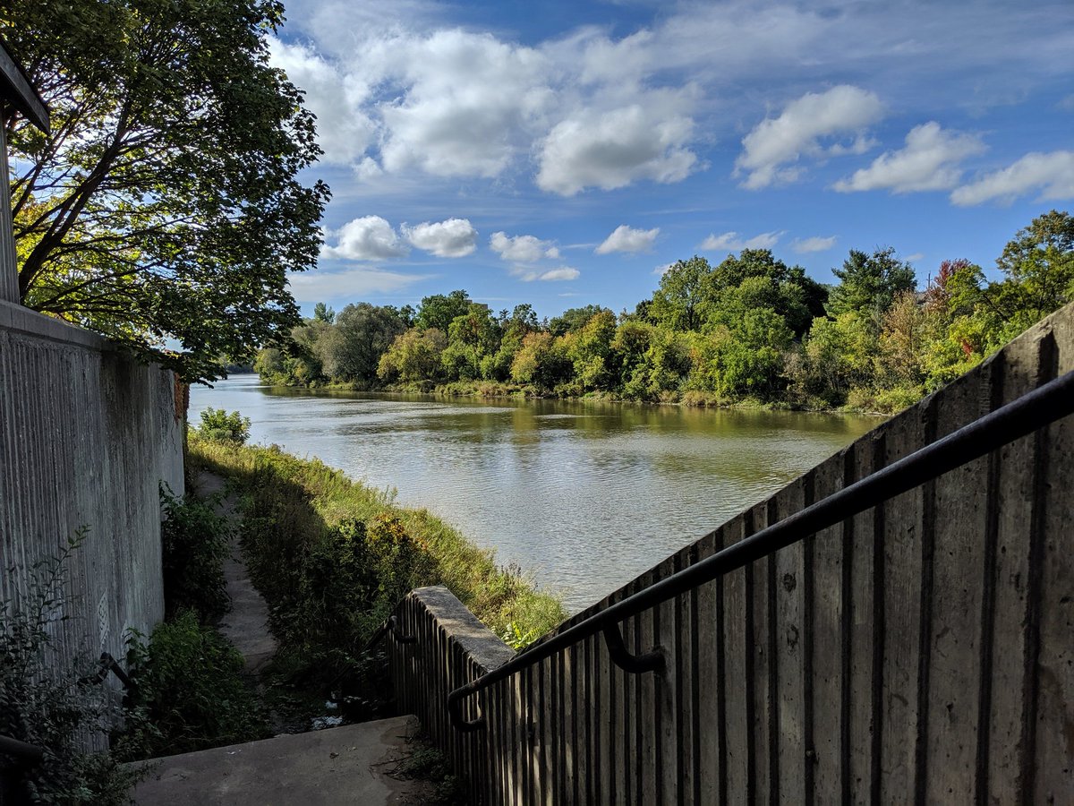
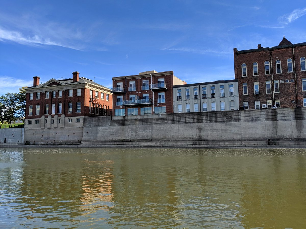
The first note I’ll make is about how the Grand is flanked by flood mitigation in downtown Galt. Big earthen berms and concrete walls. Some good footpaths here, but not much in the way of well-done formal riverside trails not south of Craig’s Crossing anyway. Good views though.


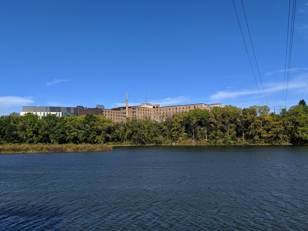
I started downtown, so I’ve been going south. On the west bank, south of Cedar Street, the old Canadian General-Tower is as far as you’ll get. Back north.


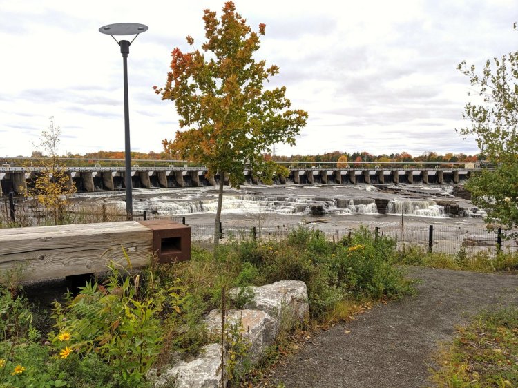
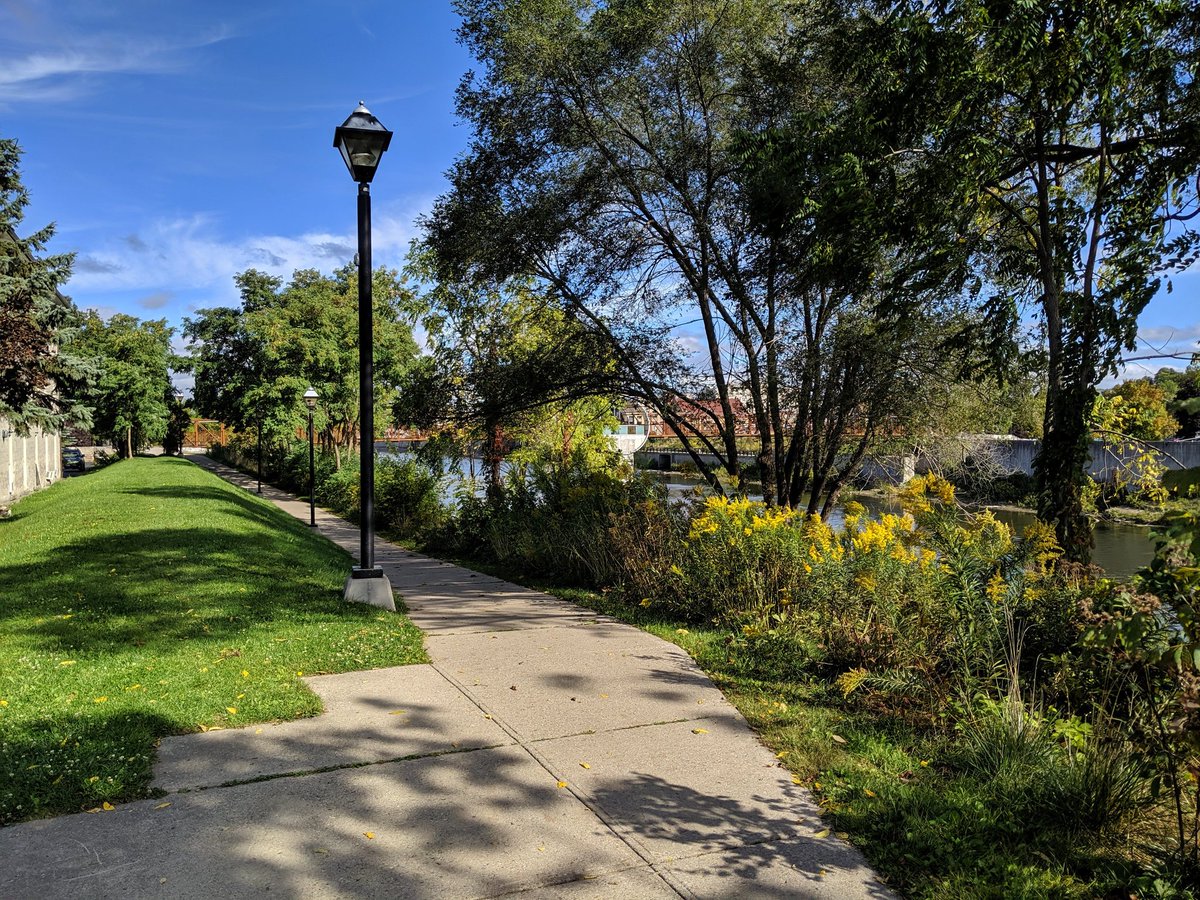
So there is a good formal trail between Cedar and Craig’s Crossing, on the west bank. Good views of Mill Creek’s outlet to the Grand and other mill infrastructure on the east bank.

There are some spots in downtown Galt where you can get down to the water’s edge (at least under normal flow conditions). Nice underbelly view of the cultural heritage centre.


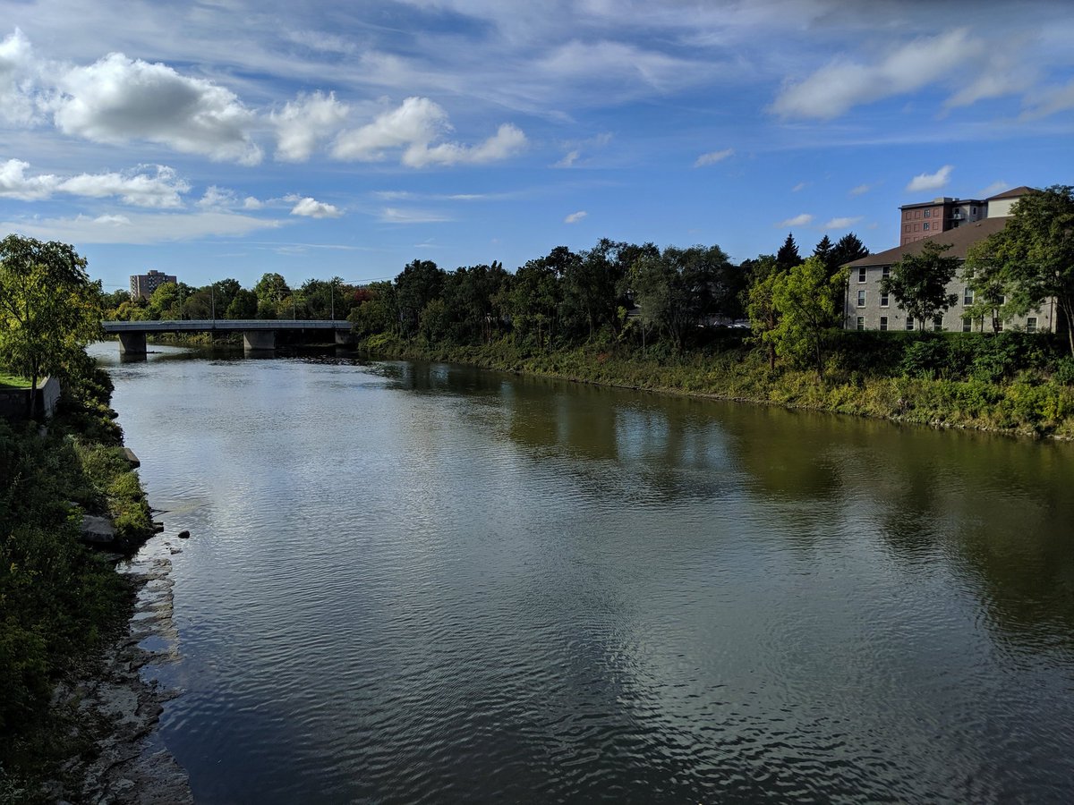
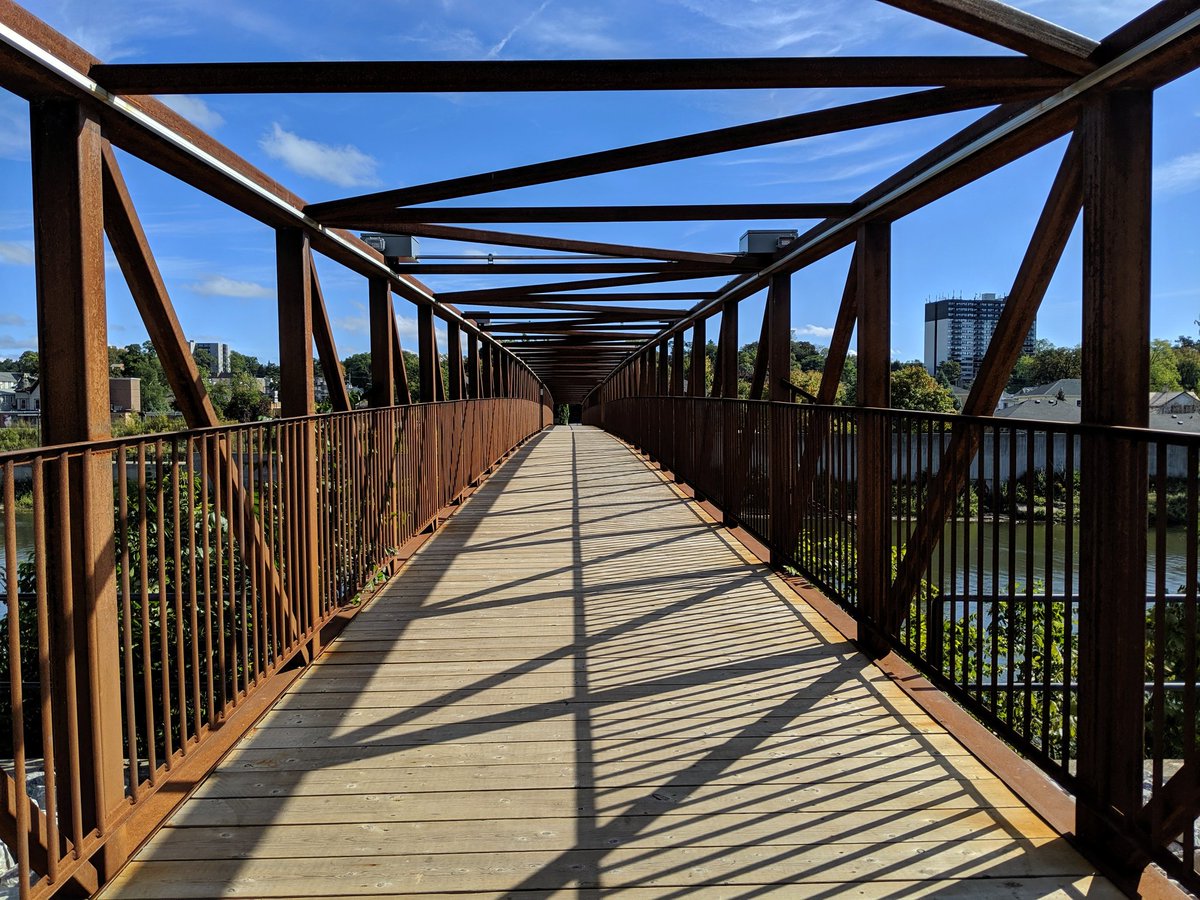
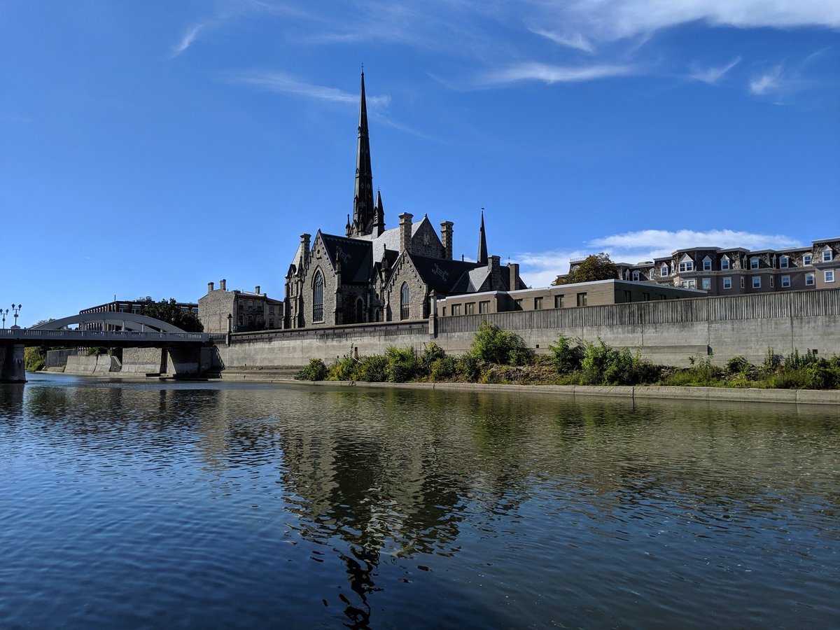
Between the Main Street and Park Hill Road bridges (circa 1931 and 1933, respectively) is probably the most popular reach. You may have seen photos from weddings and Instagram accounts along here.


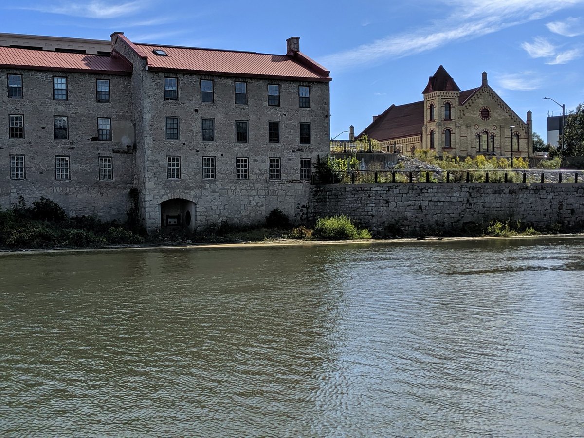
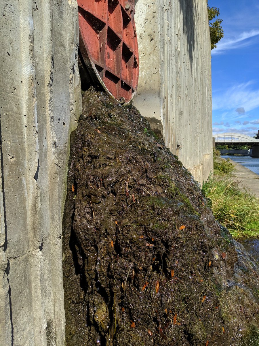
I’m really enjoying the old drain and mill infrastructure down here, it’s something else.


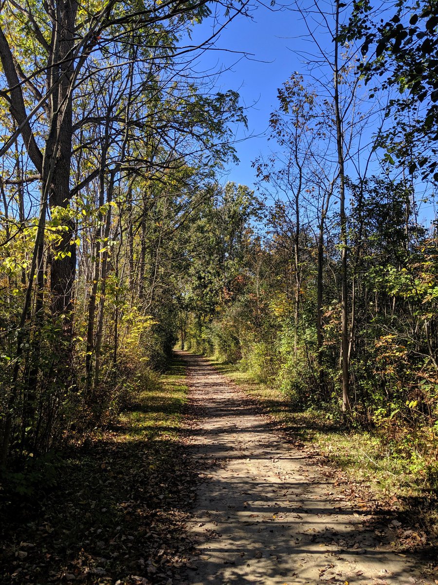
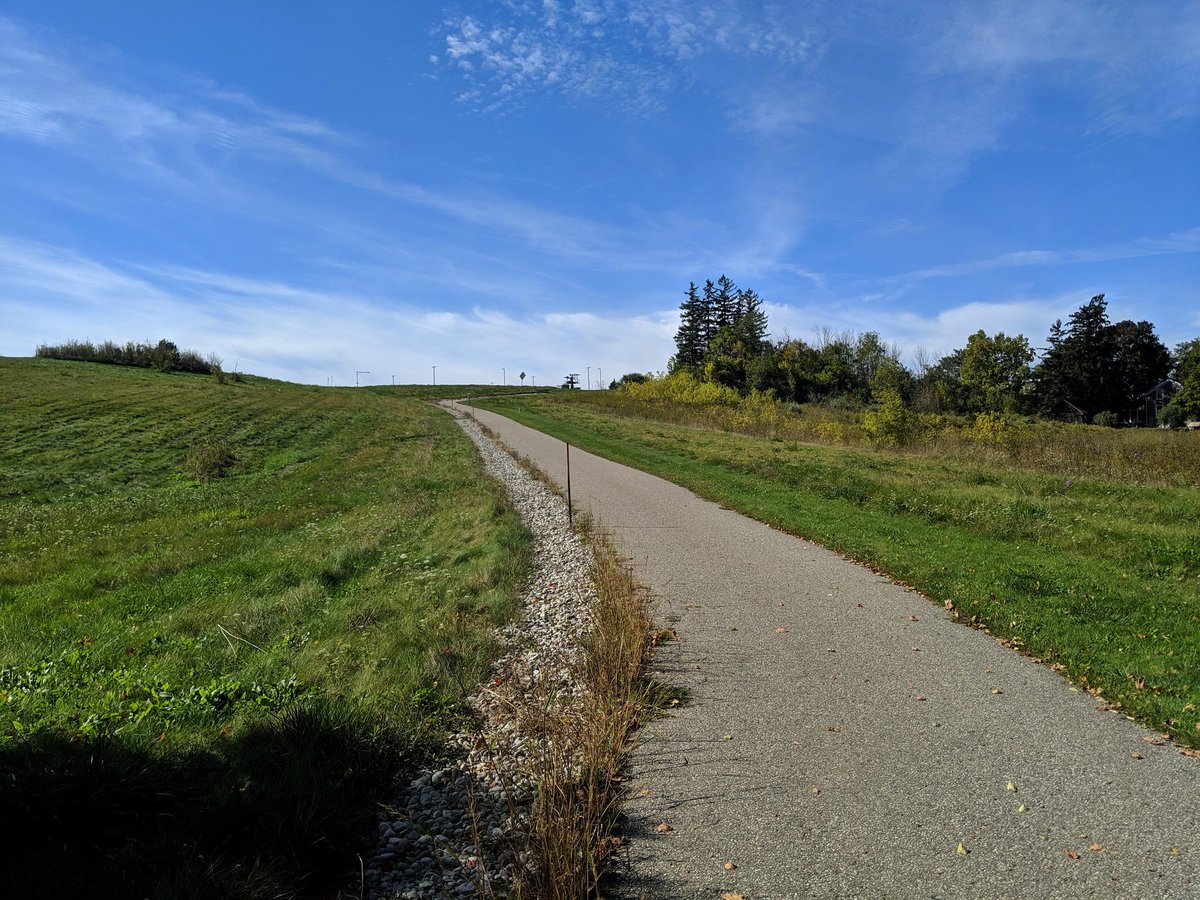
Back to the west bank, and walking out of downtown Galt. It’ll be a 6.7 km jaunt to Fountain Street, out by Blair. Nice view of Canadian Pacific’s mainline over the Grand. Trail is named “Grand Trunk”, which suggests it also used to be a rail line.


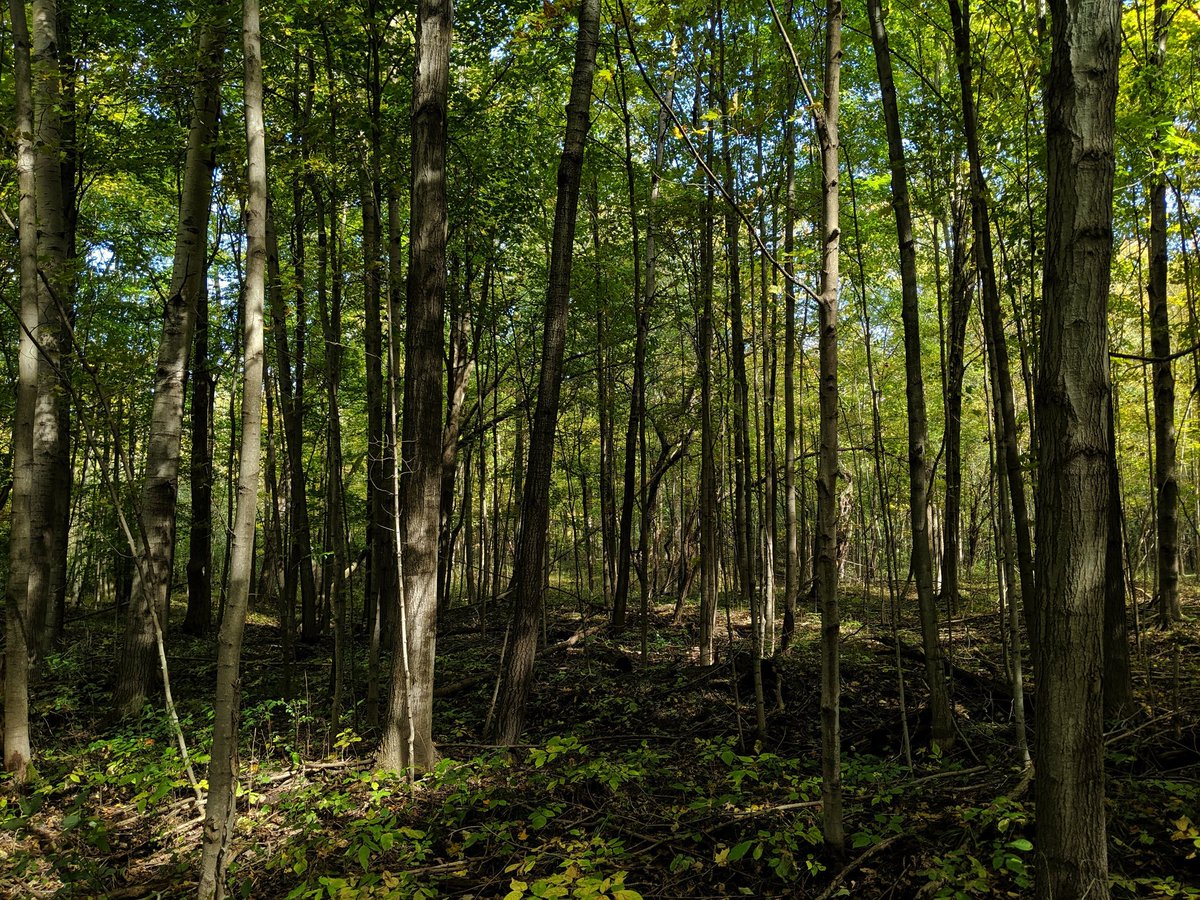
Shady quiet trail. Leads to a switchback up a limestone wall, looks like something out of Northern Ontario. Devil’s Creek also meets the Grand via a waterfall. Gotta love the geology of this area.
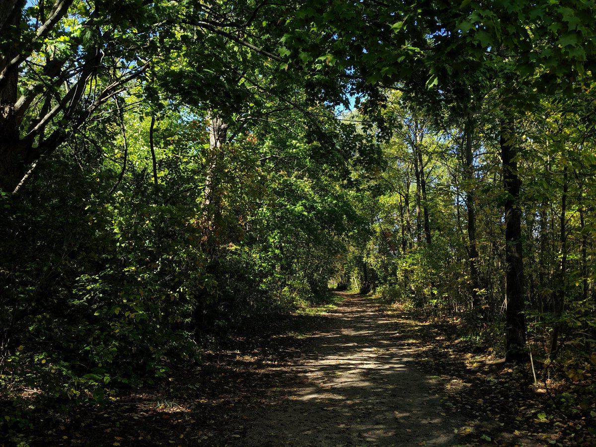


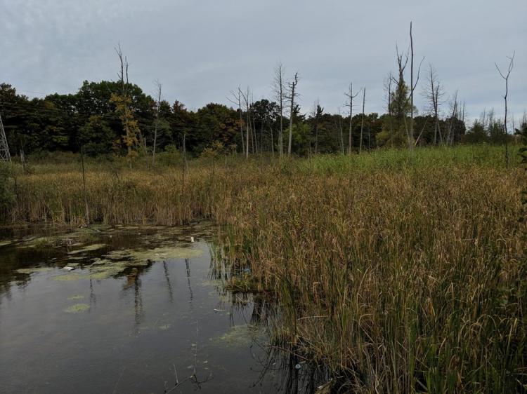
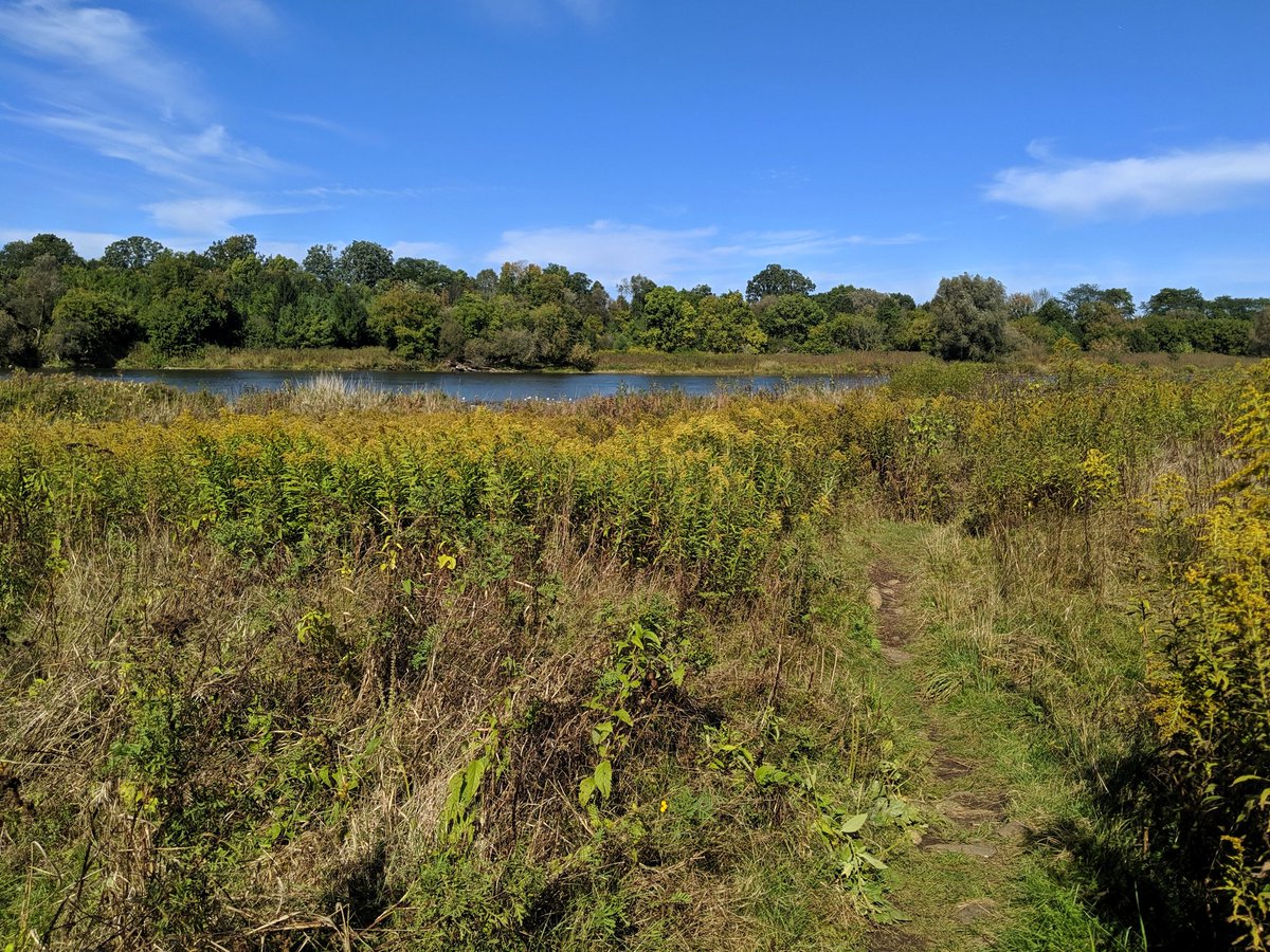
Open plain / wetland creates a canopy break, but things get shady again real quick. But now I’m detouring off the main trail to get into the thick of a woodland, and back towards the river.


Back at the river. Excellent setting to walk in, with the tradeoff being that you gotta watch your step. This is a footpath and there are plenty of dolomites to trip over.
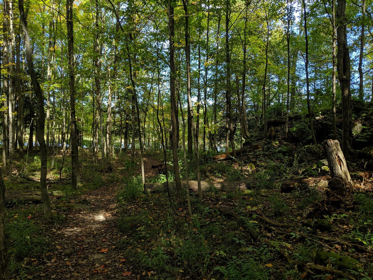


Bam. Out of the trees. I feel like I’m trodding a hobbit path, turning back south a bit to avoid some marshes. It leads back to the Grand Trunk Trail though, and I’m heading in the right direction again.
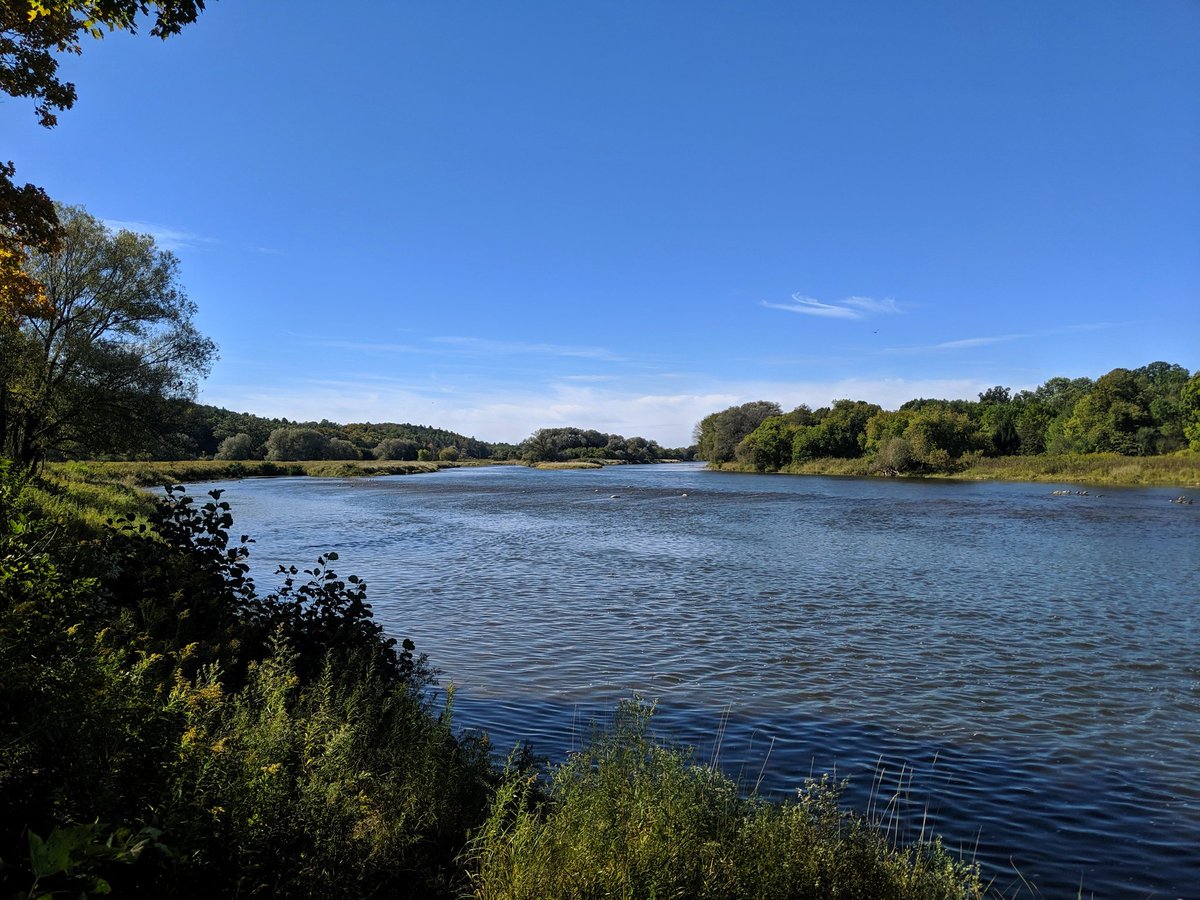

Least favourite stretch of the walk so far. Only because I had to walk along a rural road with an 80 km/h speed limit, and no curb. I’d take an MTO tall wall here before a speed limit reduction. Nice view of the floodplain though, and the speed limit is back down to 50 in Blair.


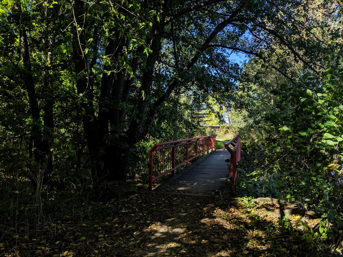
Back off the road for a bit, where the Blair Bridge once stood. Over a creek to Fountain Street.


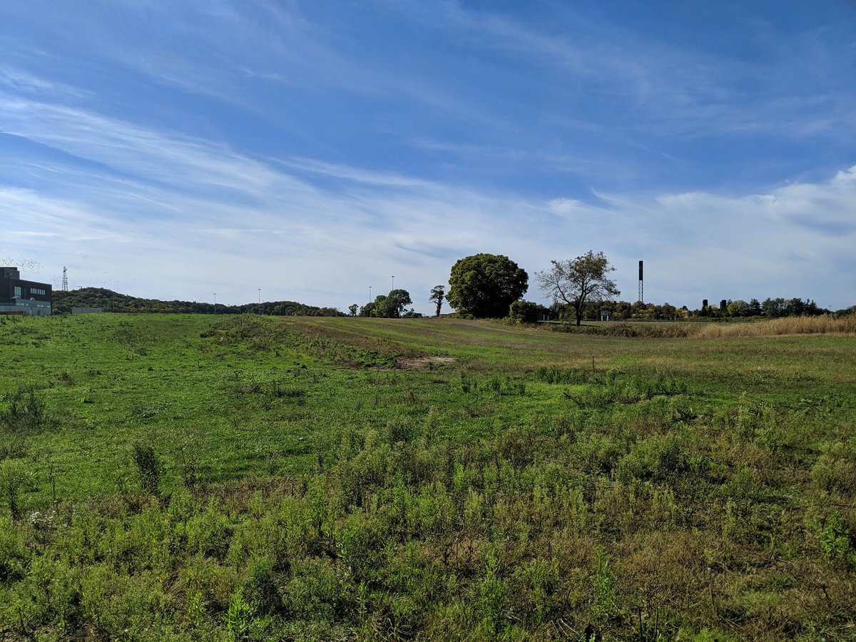
I’m being led far away from the river now, onto Conestoga College’s Cambridge Campus. The trail winds its way through a field to the 401.


First pedestrian bridge over the 401. Well west of the Grand. Leads to Conestoga’s Doon Campus north of the 401. Instead of getting back to the river, this is where I end my walk today.


Date: October 5, 2019
Length: 14.4 km
Type: Riverine