Good morning from downtown Galt. Today I will be following the proposed Waterloo ION Stage 2 alignment (the LRT extension south through Cambridge). Comment deadline was yesterday, and I provided my feedback, but wanted a first hand look anyway. Let’s go. First stop: a new downtown terminal along Bruce St, between Water and Ainslie. Would make a nice connection to Craig’s Crossing. From here, the LRT would go north, roughly following where Mill Creek has been enclosed.
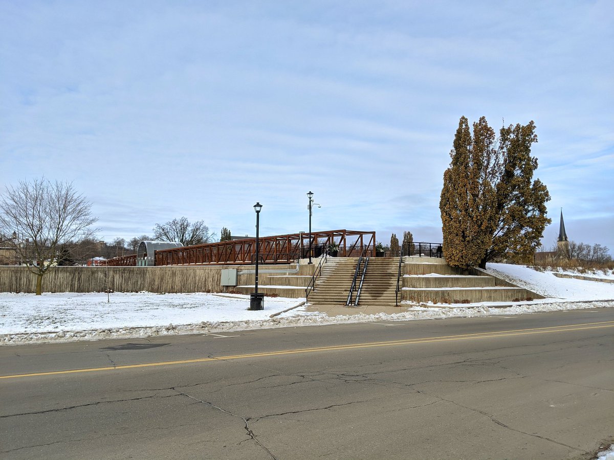


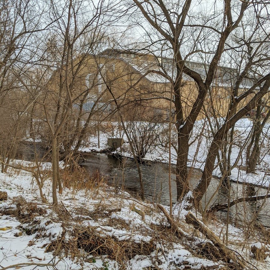
Second stop: Wellington at Main. This is the second stop downtown before a long run north. It meets Mill Creek’s inlet to the enclosure.

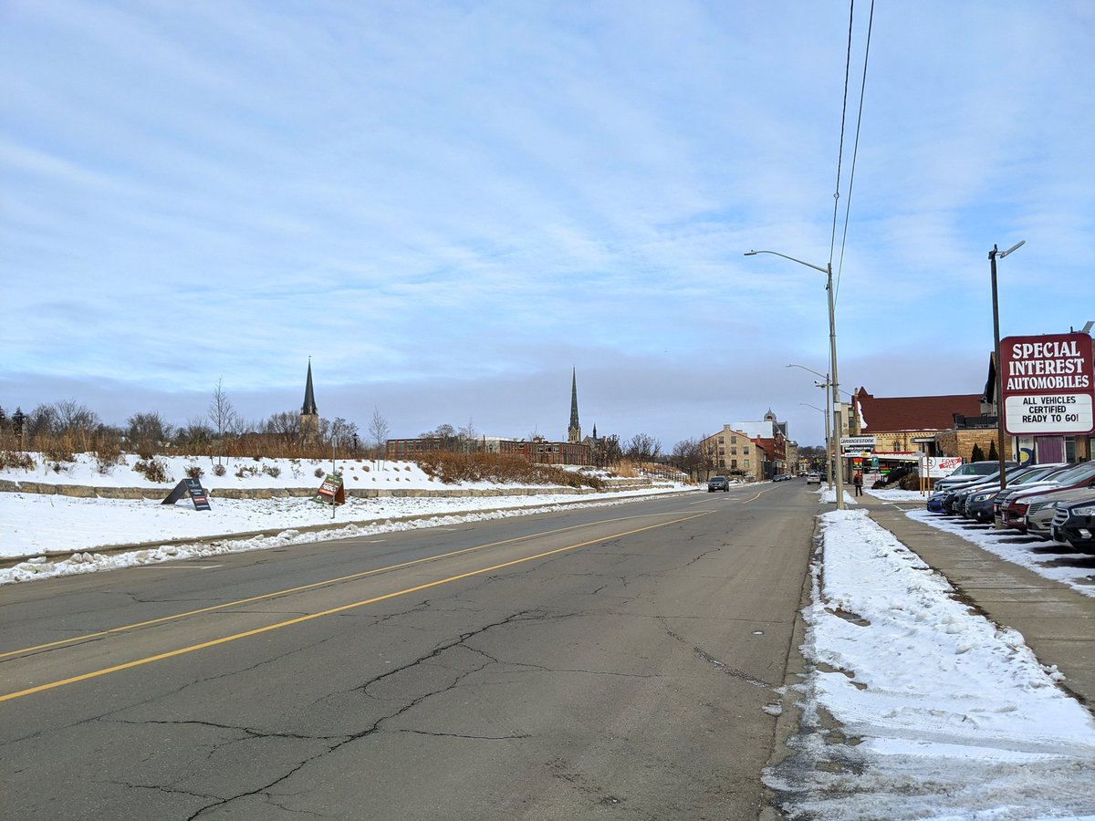
The LRT route was changed from following Hespeler to paralleling Mill Creek, which actually used to be a railway line once upon a time. Also, no stop at Dundas/Beverly, a missed opportunity but perhaps a future infill stop.


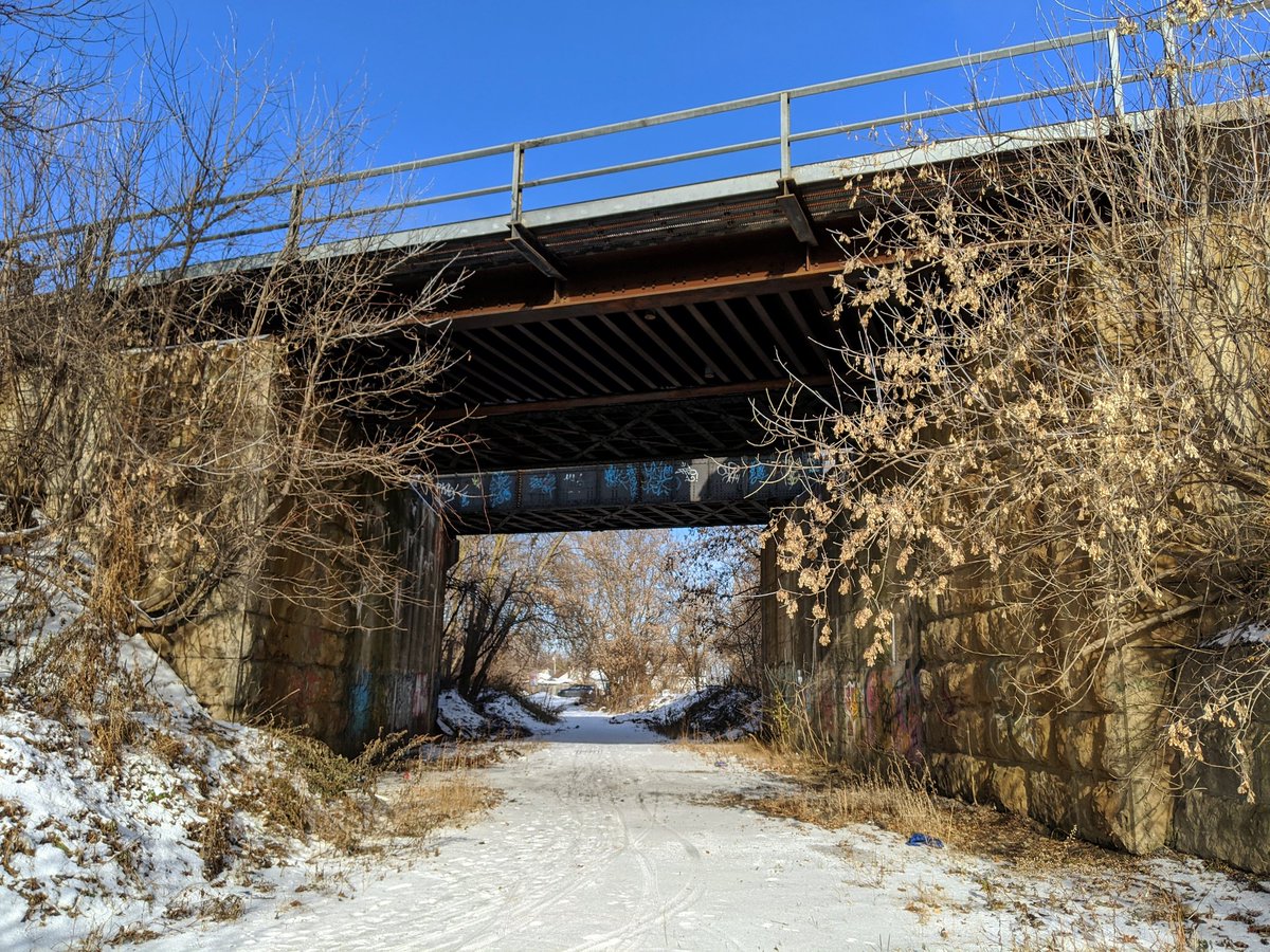
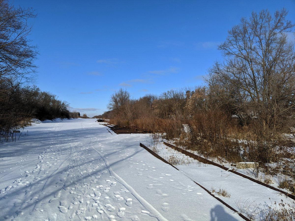
North of Dundas, the right-of-way got bought up and is being used privately. Fortunately you can still get through the Canadian Pacific underpass. From here it opens up again into a rail yard that’s had all its tracks torn up. CP still uses the line north into KW though.


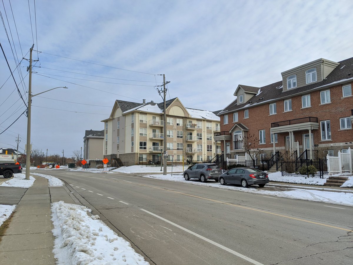
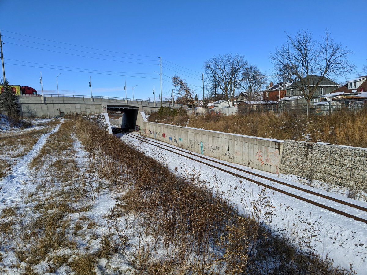
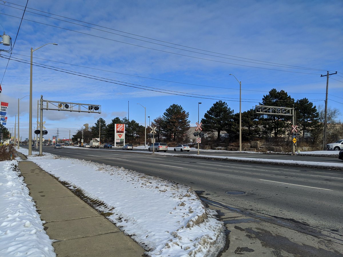
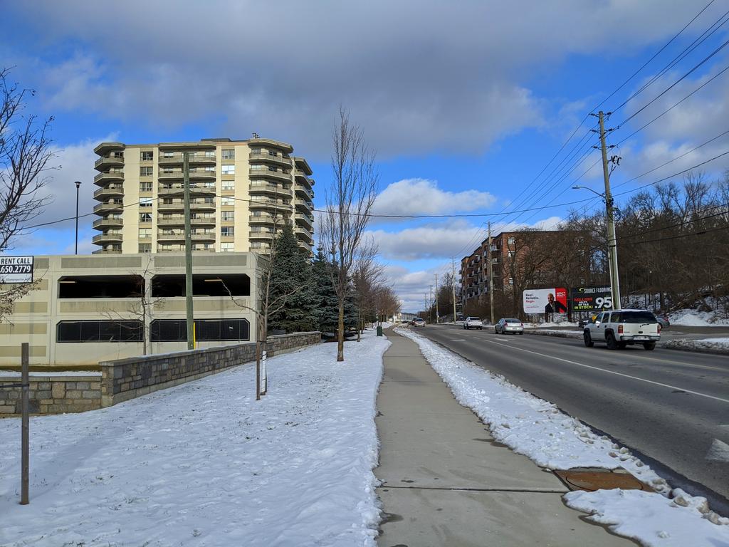
The rail line meets up with Dundas, where Delta Station is proposed. The LRT would then follow Hespeler Road north to Pinebush.


I’m not crazy about the LRT using Hespeler. But if we’re going to do this, we need to change from this sprawl mall model. Upzone all land use types, whatever they may be, and make for a more fine-grained, walkable community. Let’s not squander the opportunity that lies here.


Before reaching Pinebush, the LRT will duck onto a Canadian National spur line. I get trying to minimize costs and property impacts, but my big concern here is how it would connect to the GO bus. Getting between Cambridge and the GTA is hard enough, let’s ensure integration.


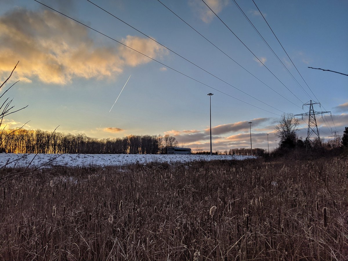
No man’s land north of Pinebush. Difficult to navigate as there are some land hogs here, but perhaps there is some parkland opportunities.


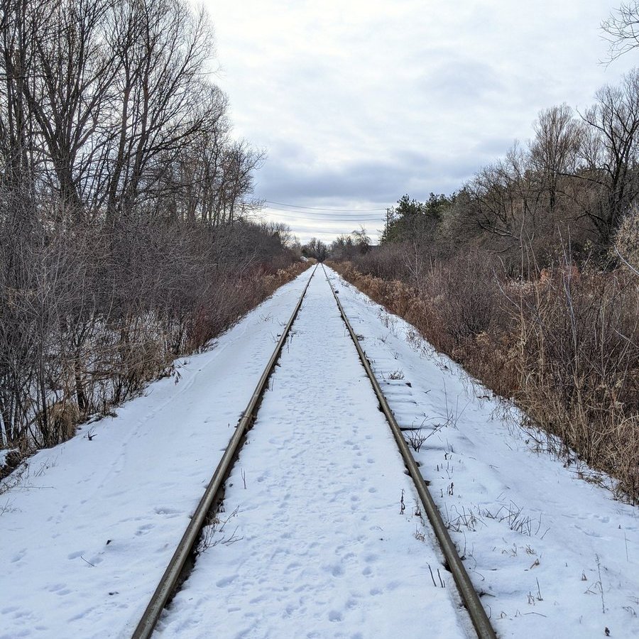

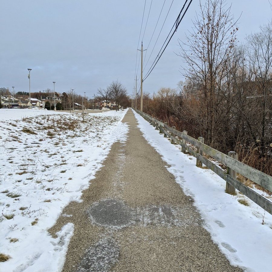
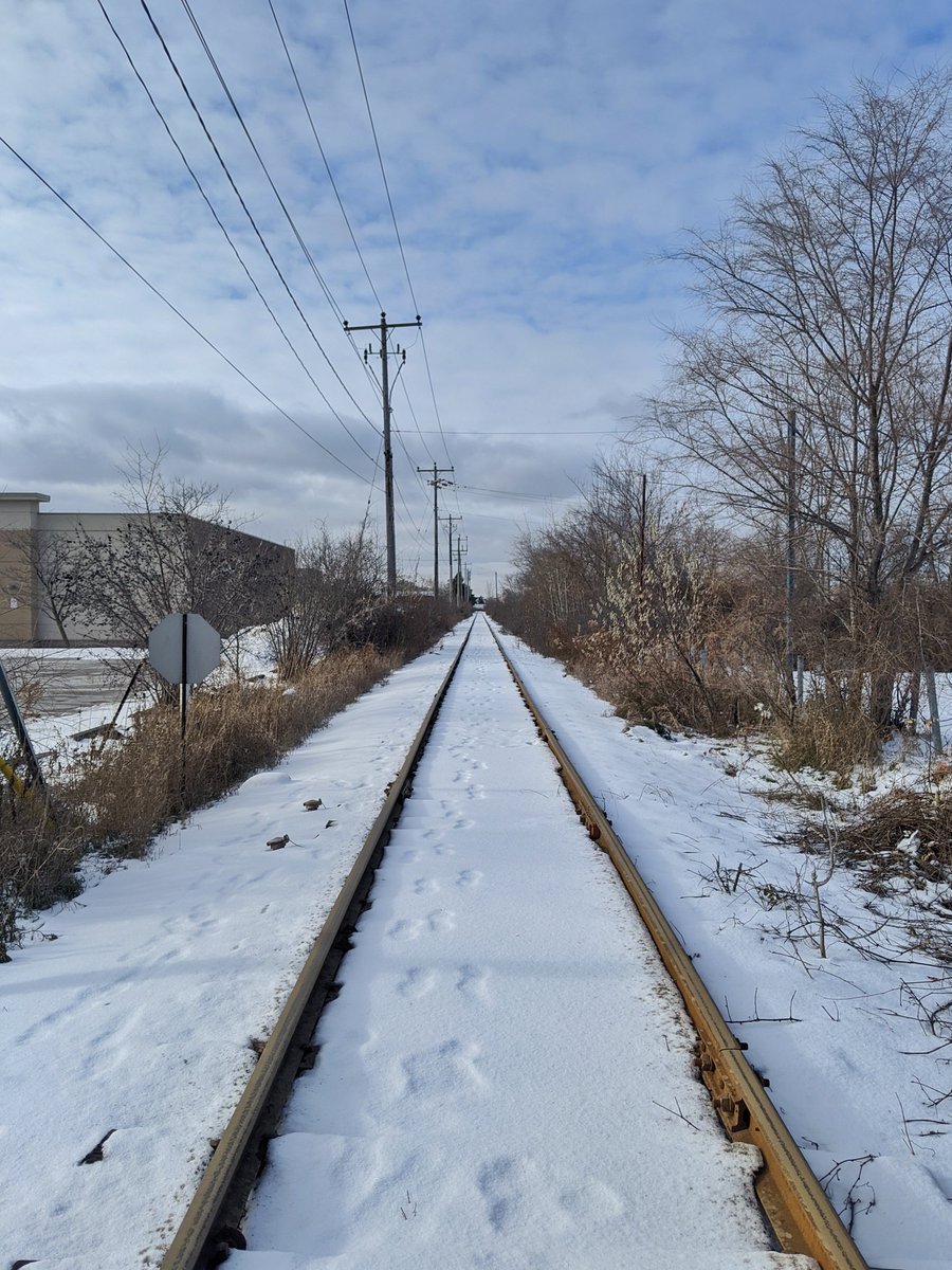
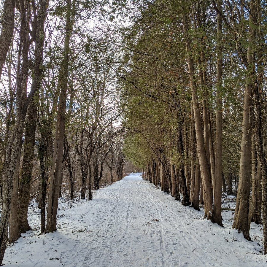
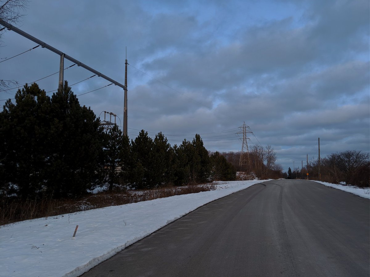
After diverting via Eagle and Speedsville, we come to the abandoned train tracks that the LRT will follow. They are overgrown until Russ, so the Speed River Trail suffices. Then back on track until Eagle again.


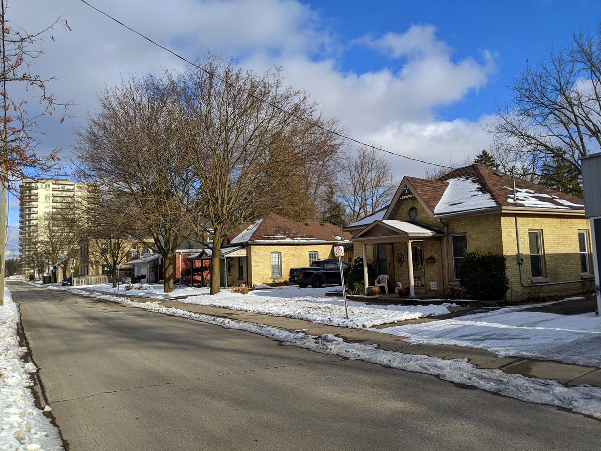
Finally the next station stop in Preston. The exact location is probably going to disturb quite a few quaint historic homes. The LRT also needs to traverse the Speed River, and I see it as an excellent opportunity for an active transport crossing in parallel.


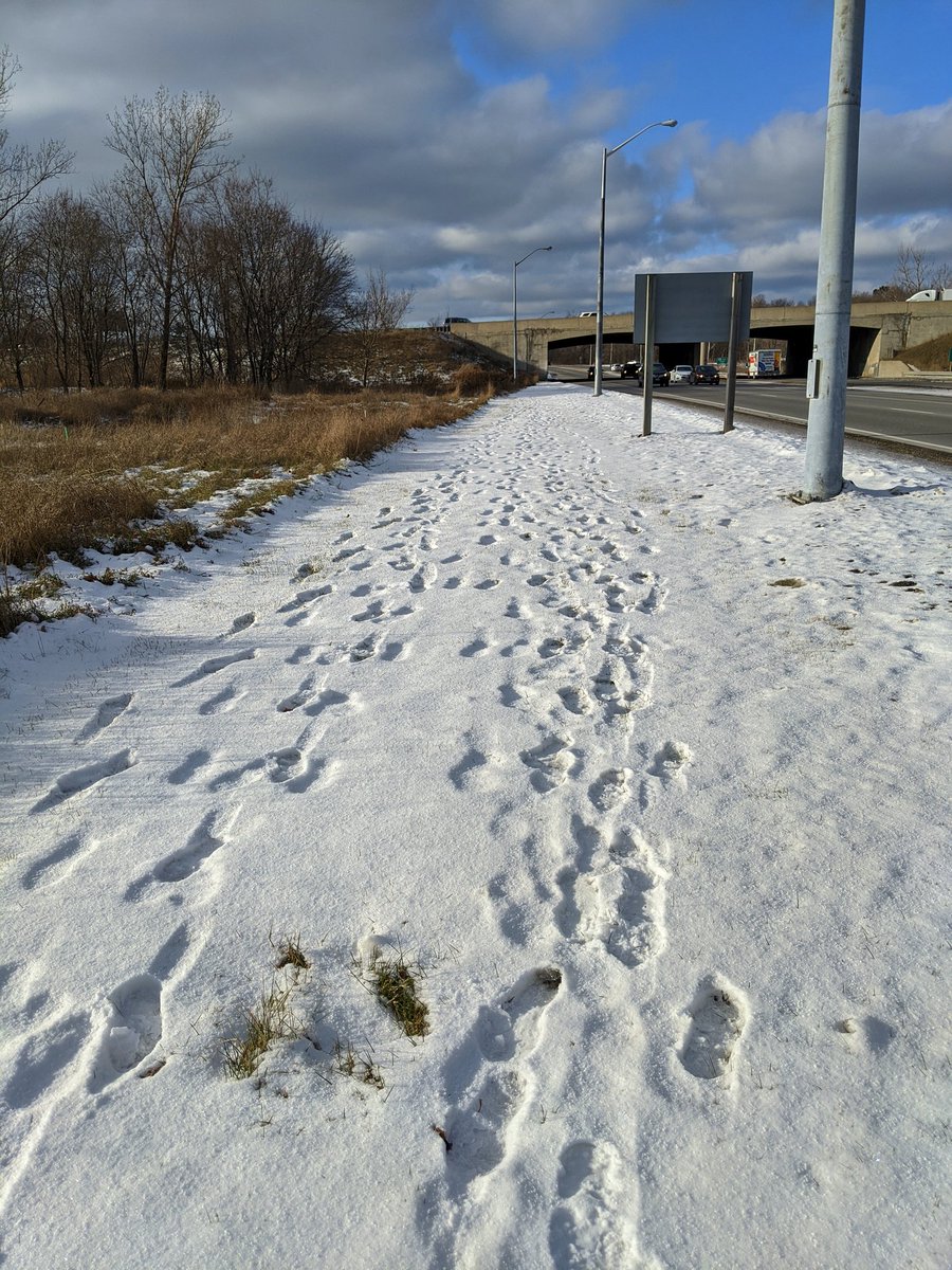
It’s a marathon to get to the last two proposed stops along the Stage 2 route. It’s also dicey; there are no sidewalks between Preston Parkway and Gateway Park Drive. Seems to be demand for it judging by the tracks, and I bet they’re not crazy hikers like me doing it for a hobby.


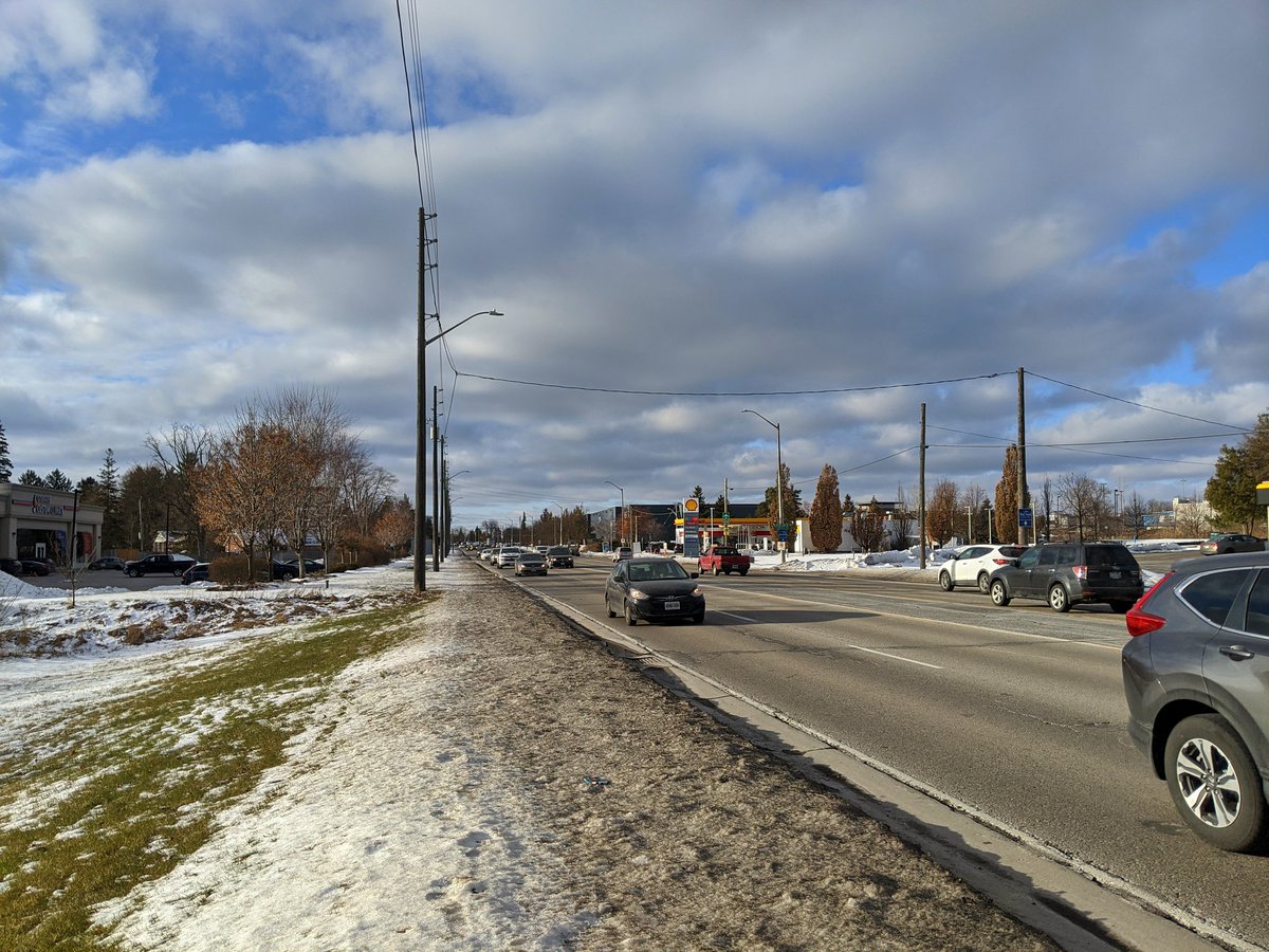
Sportsworld. Certainly does not feel like a place being primed for transit oriented development. A highway parallel to a highway, if anything.


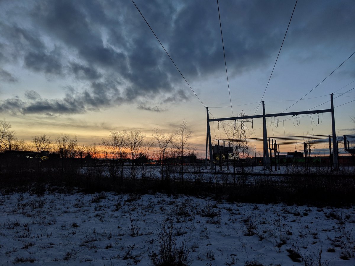
North of Sportsworld, the LRT will parallel Highway 8 on the west side. I tried to follow but there was no feasible way. Had to detour via King (which had no sidewalks again), and the Grand. View from the south bank.


Trying to find a way around to the north bank of the Grand to Hidden Valley was a complete bust, and I’ve lost the light. Another detour via King to Fairway.

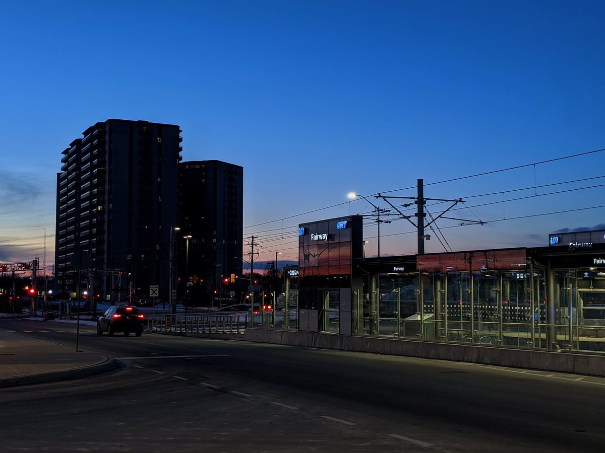
Once crossing the Grand, the LRT will parallel Hidden Valley Road, set to become part of an extension of River Road. Across the road to Fairway Station. That’s the end of today’s journey.

Date: December 7, 2019
Length: 23.7 km
Type: Railway / Highway


