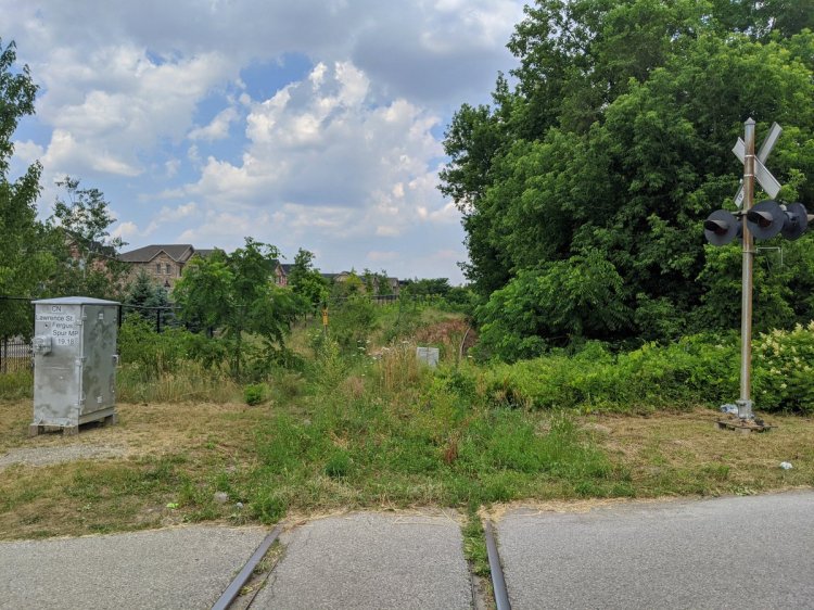
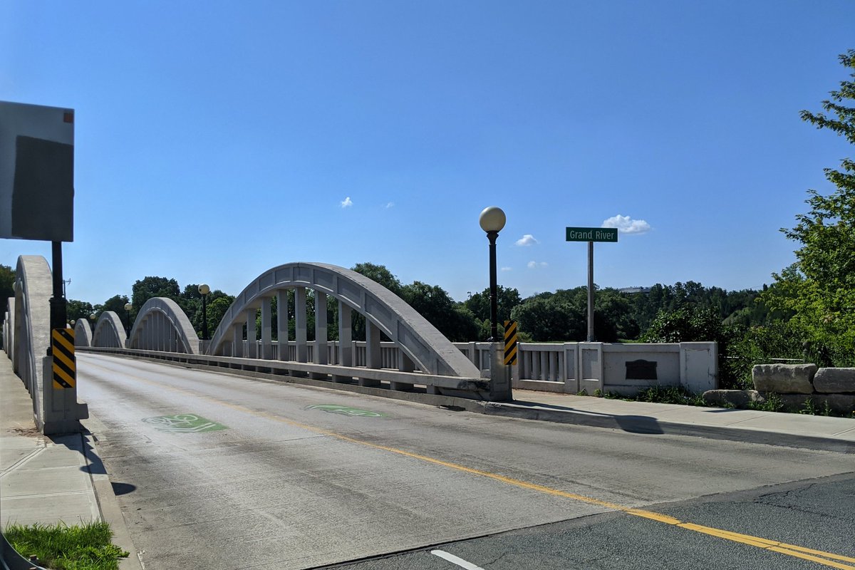
Good morning. Great day for a walk. I’ll be following Laurel Creek today, starting here from its confluence with the Grand River, through Uptown Waterloo to the UW area. Let’s go.
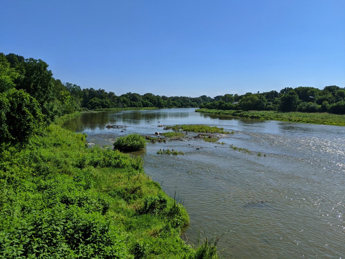


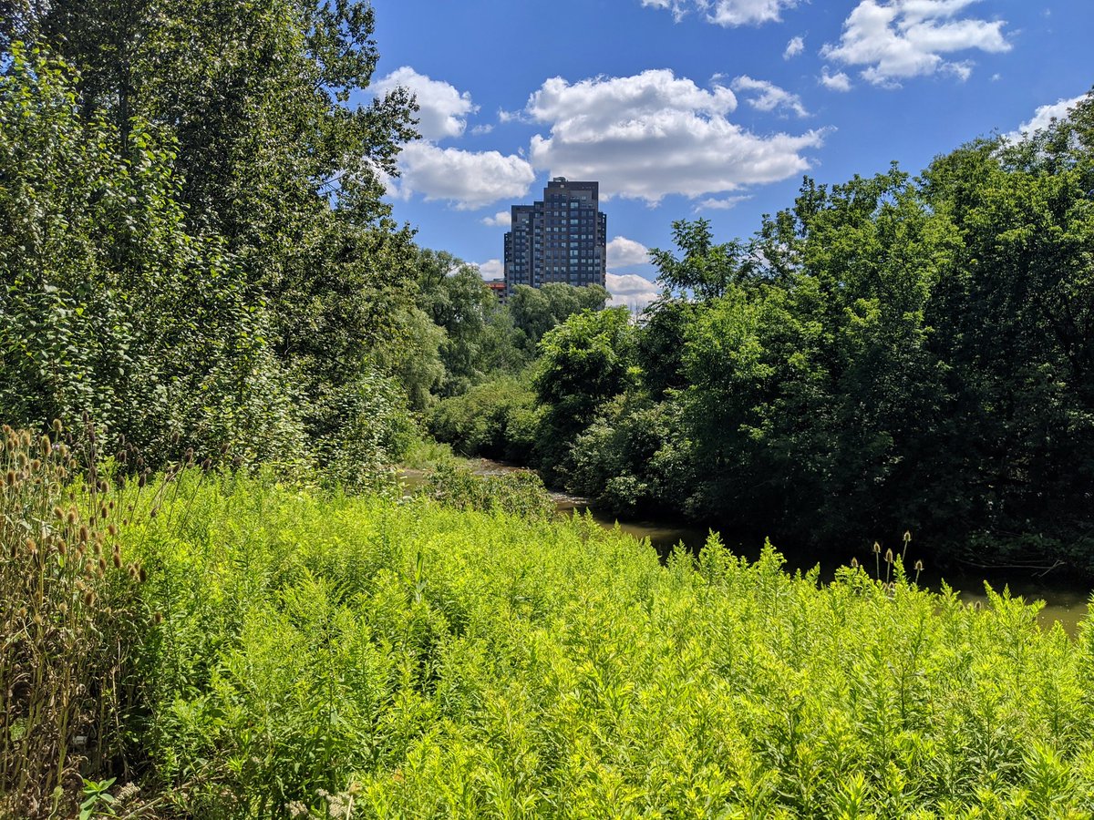
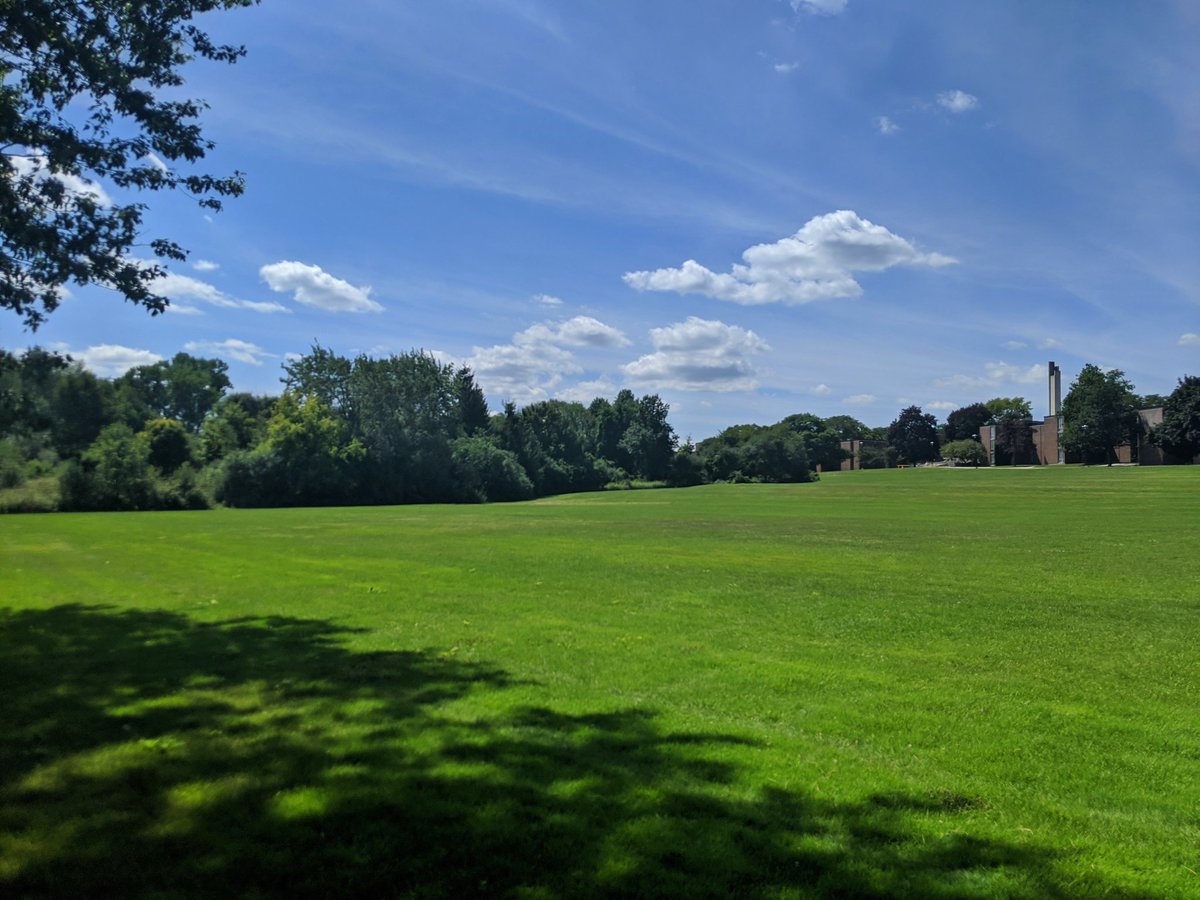
Not off to a great start. After a couple glimpses from the road, I got turned around following some footpaths, and ended up in Bechtel Park. Despite straying from the creek, the view of the valley is nice.


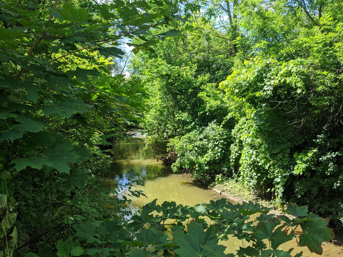
I’m back close to the creek. It meanders quite a bit here, and I’m sticking to the designated clear trails. I got shorts on and there’s lots of warnings about giant hogweed. The creek ducks under the Conestoga Parkway, I have to use the University Ave overpass to get back.


After crossing the Parkway with no sidewalk and darting across 4 lanes of traffic, I am back with the creek, and on the first paved trail. Should be good from here on.


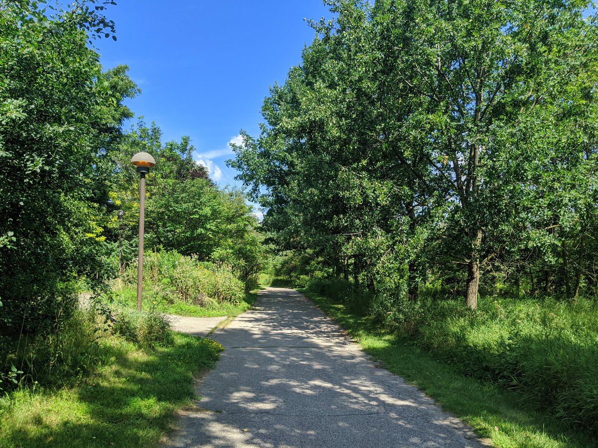

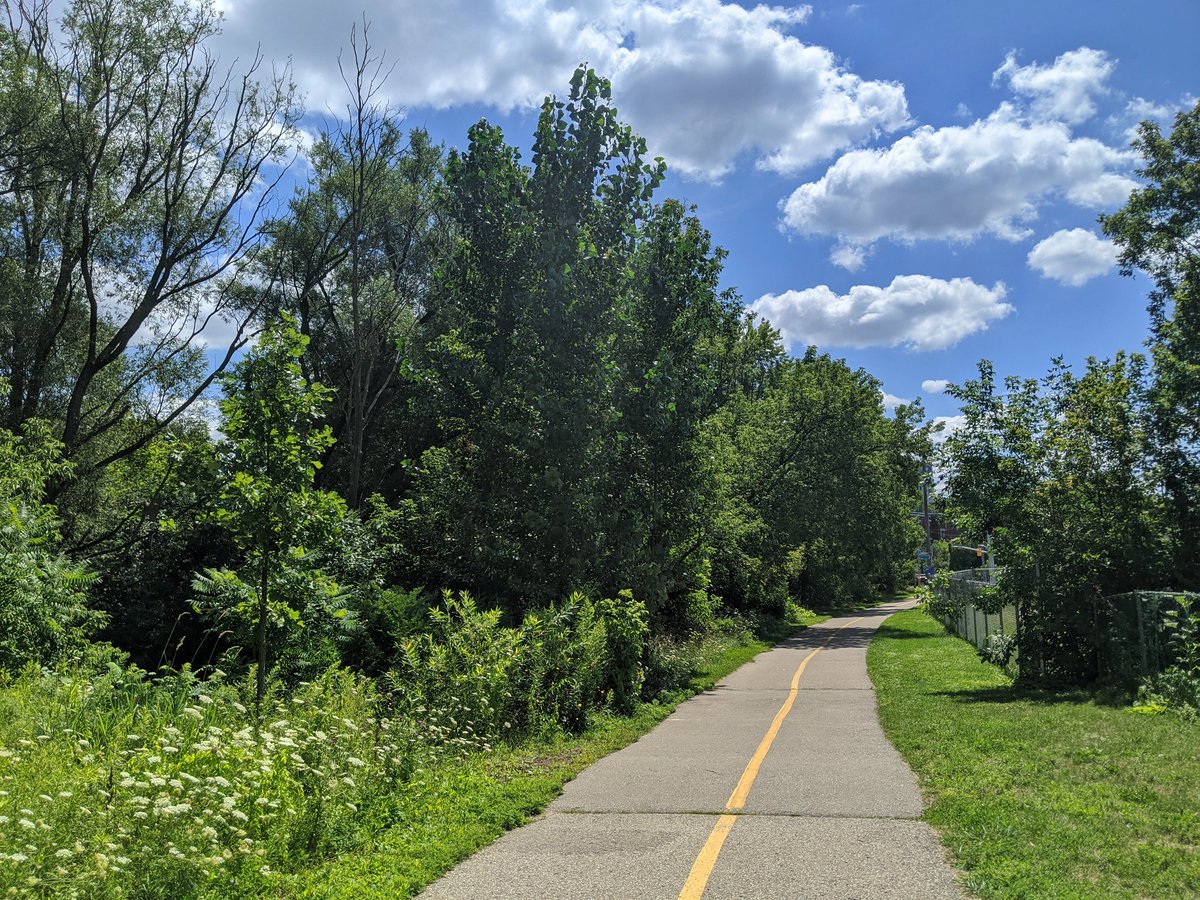
Fantastic. Alternating between asphalt and stonedust trails. It’s shady and lush down here, I can notice a couple degrees difference. Tall trees, wonderful vistas. This is rejuvenating.


Now we’re getting to the really urbanized reaches of Laurel Creek. One section goes through a townhouse complex, and parallel public trails resume south of Marshall Street.


Trail continues, but seems to be getting skinnier as you approach the city centre. Trees are intact, providing excellent shade.


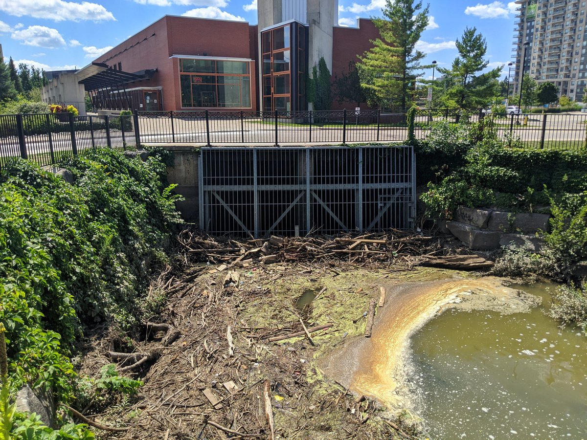
Suddenly, the channel is confined by tall concrete walls. After passing under the Waterloo Spur, it goes through a bowl and underground. No creek to be seen in the core.


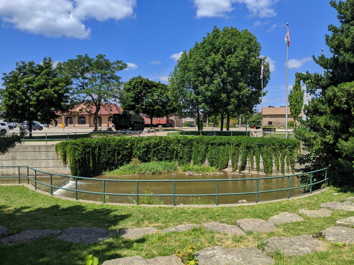

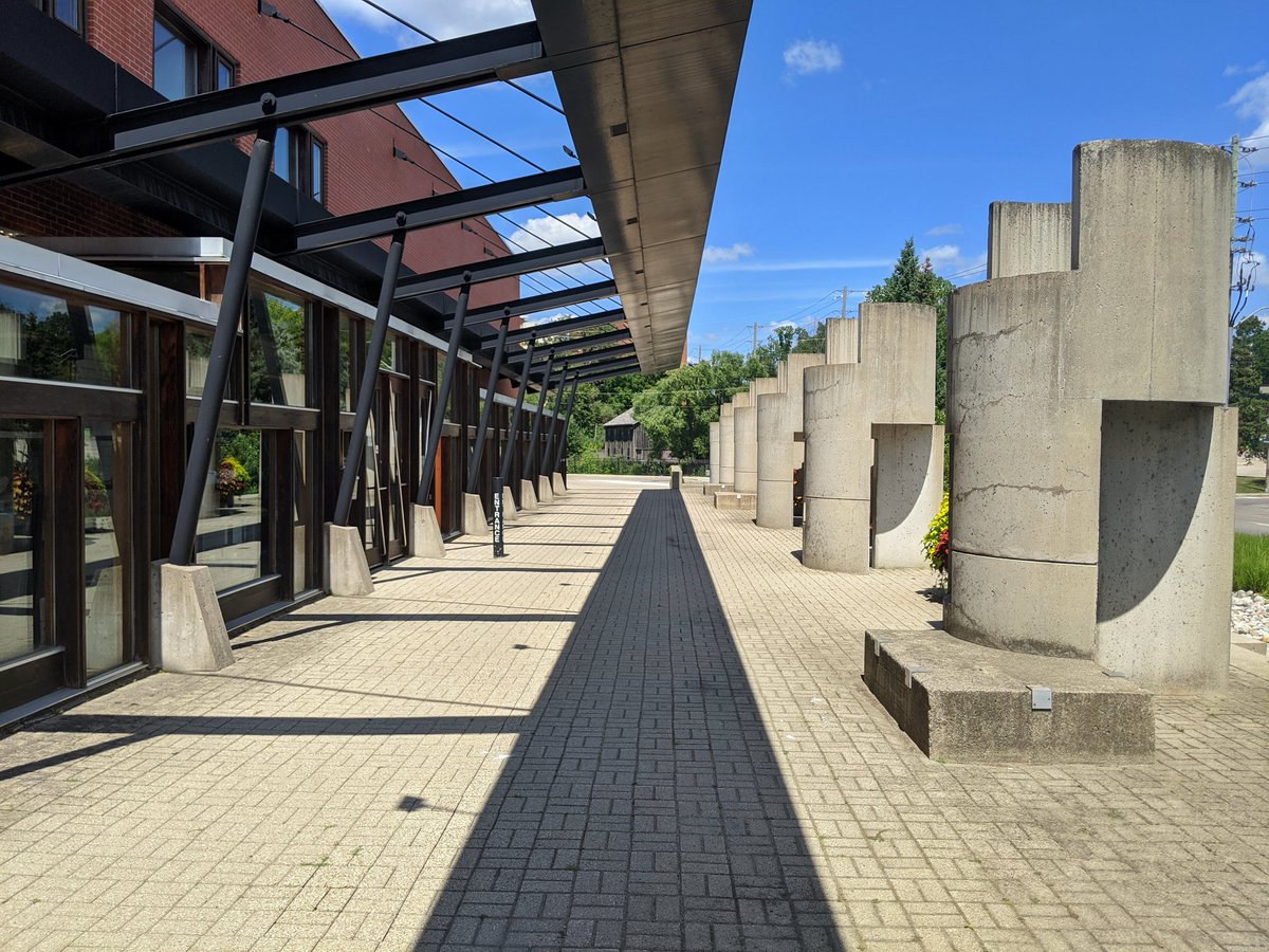
Stumbled into a cue of where the culvert was in front of the clay and glass museum. Brings you to the inlet, the southeast corner of Silver Lake. What a mess.

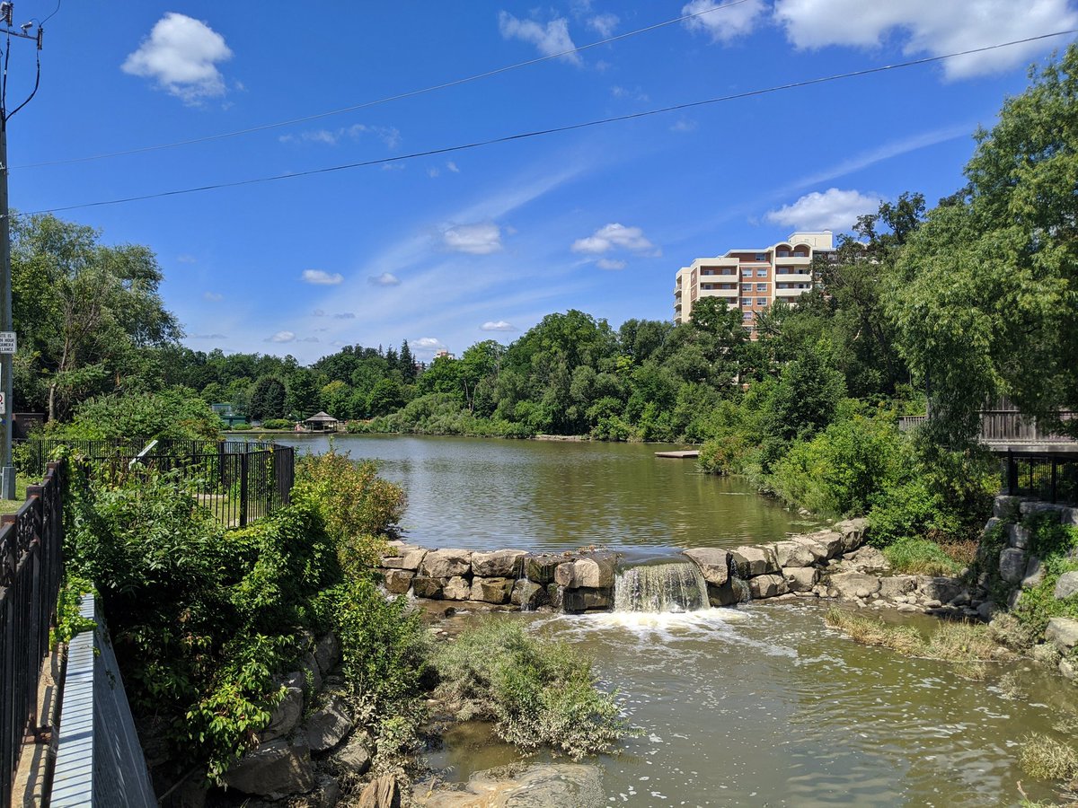
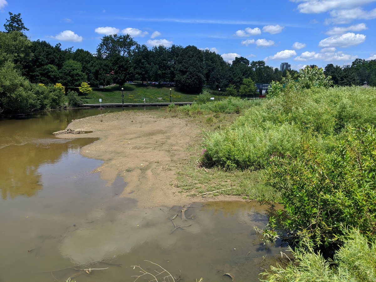
Silver Lake ends at the LRT tracks. A good look at the sediment problems it has. This shallowness isn’t great for water quality or temperature.

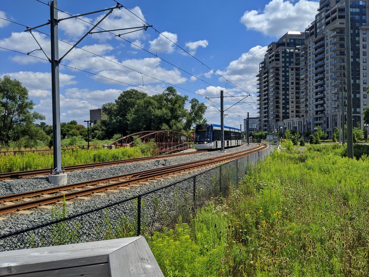
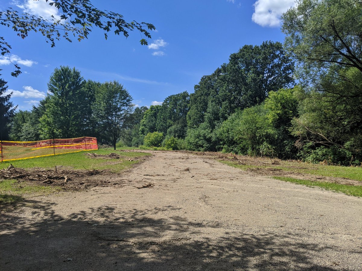
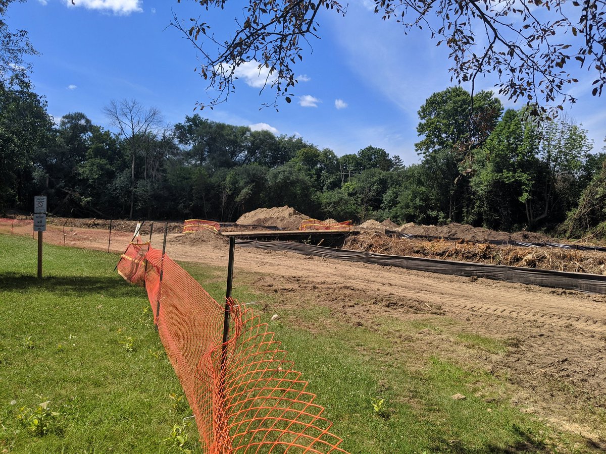
After going upstream through Waterloo Park a bit, I get pushed away from the creek by fencing. This reach is undergoing rehabilitation work, and scrubbing / staging began this past week. Looks ugly, but it will be worth it for the creek’s health in the long run.

Laurel bumps up against Westmount. Now officially on the University of Waterloo campus. There’s two small weirs along the creek, creating Laurel and Strauss Lakes.


Curving around the villages, and up towards Columbia.


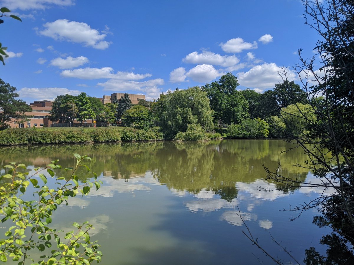
Columbia Lake, bigger than the three downstream lakes combined. This is located on UW’s Environmental Reserve. Upstream of here, the creek is looking pretty good.


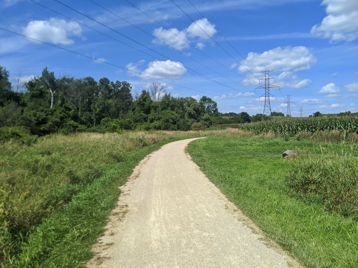
After crossing a hydro corridor, the creek flanks some fields of corn. It’s set down in a deeper valley here, and the difference is significant. 5° cooler, easily.


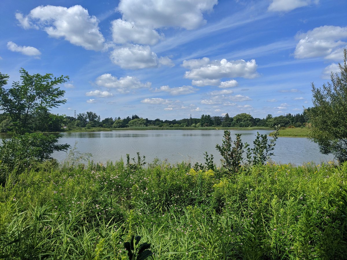
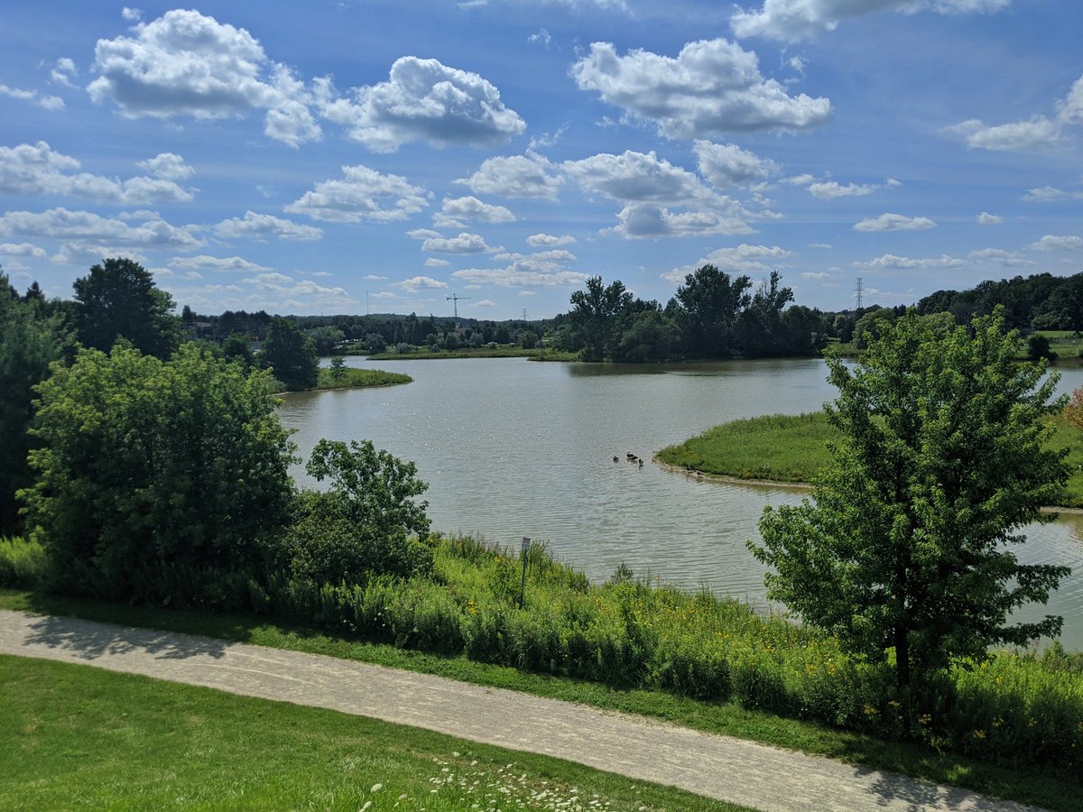
Laurel passes under Bearinger and Westmount, and then heads into the Laurel Creek Conservation Area. The lake is created by a dam, which regulates downstream flows. I’m going to end my pursuit of the creek at this point, and explore the headwaters another time.


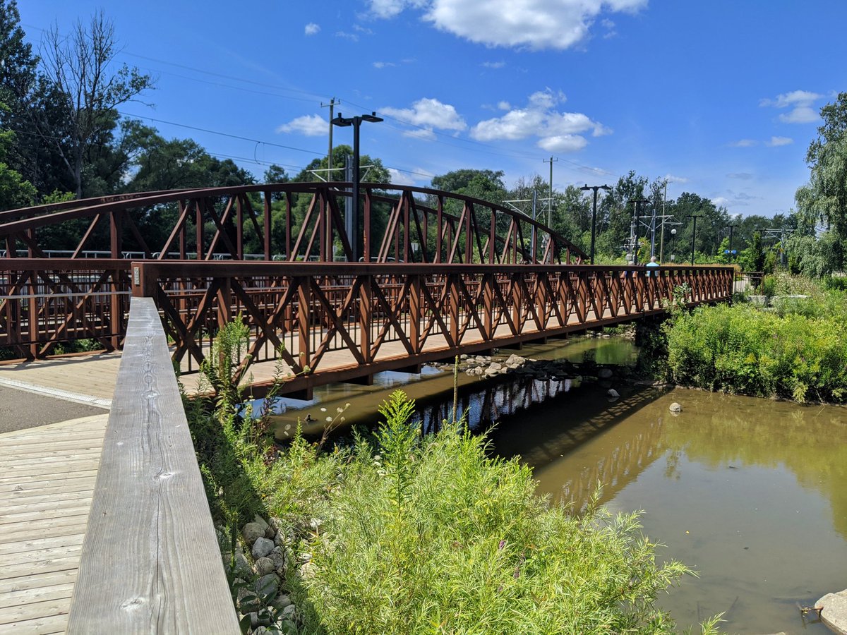
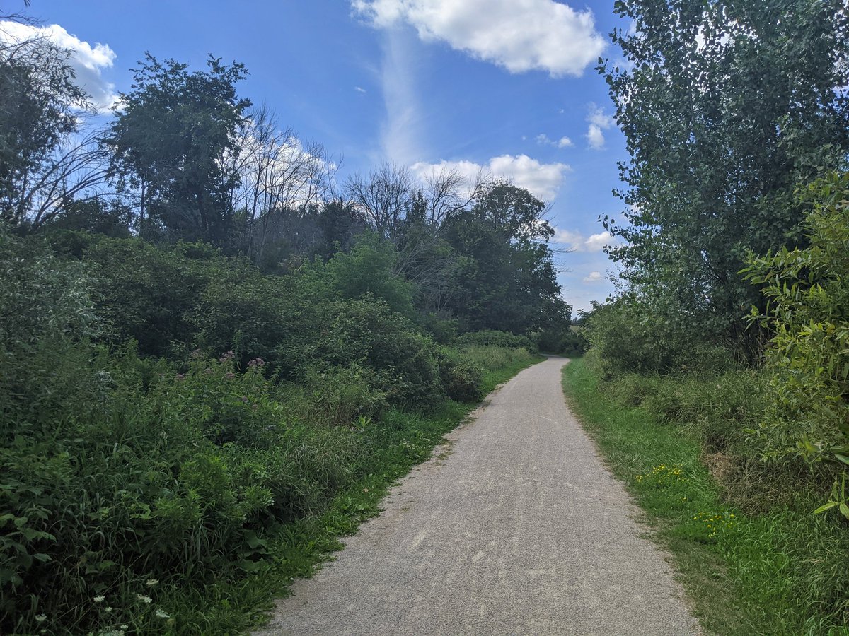
Couple more shots of Doreen Thomas Trail, which skirts the south side of the lake. Excellent end to the walk.


Date: August 8, 2020
Length: 16.0 km
Type: Riverine