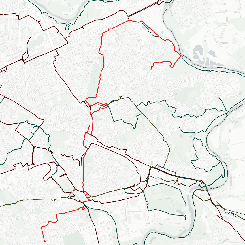
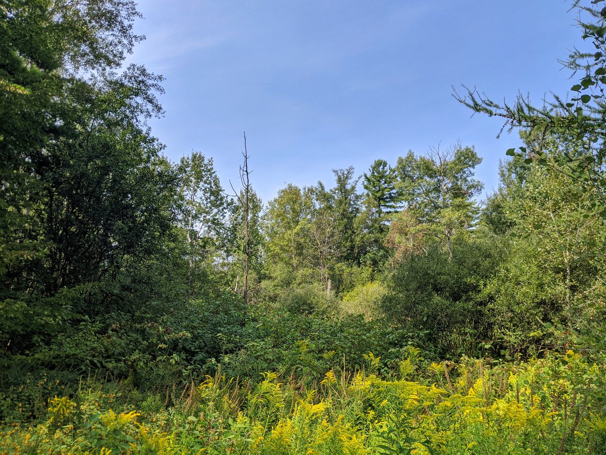
Good morning. Wonderful day for a walk. Today I will be tracing three different creeks. The first two, Balzer and Montgomery, are tributaries of Schneider Creek. The last is Kolb Creek, which drains directly into the Grand. We’ll start with Balzer though. Let’s go. Looking at the terrain, there no real way to tell where / if the headwaters started beyond here, but the first glimpse of Blazer Creek is off of Old Country Drive, at this outlet. Nice trail in parallel.

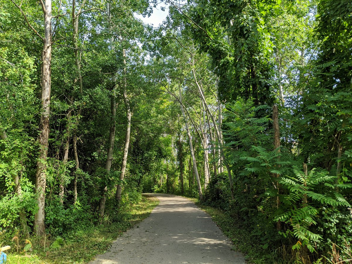
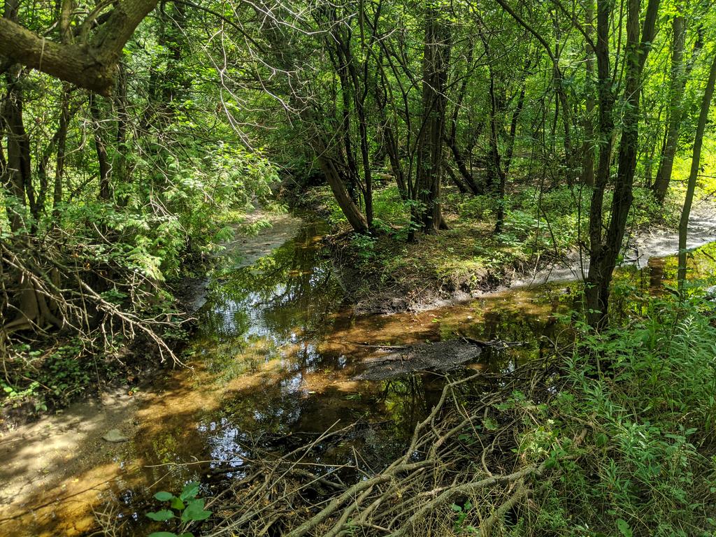
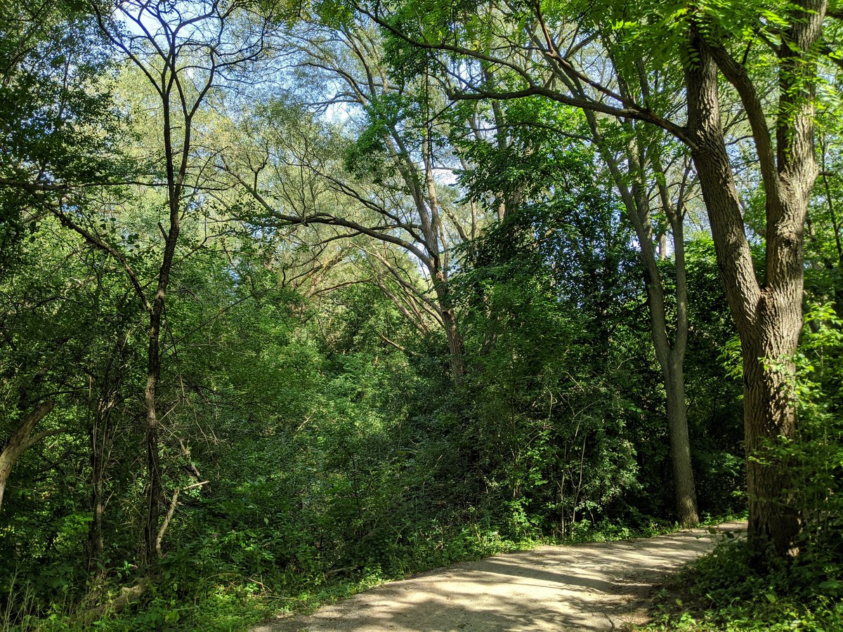
Tall trees. Only a trickle of water. Meanders through some residential areas before passing under Homer Watson, and opening up into a wetland.


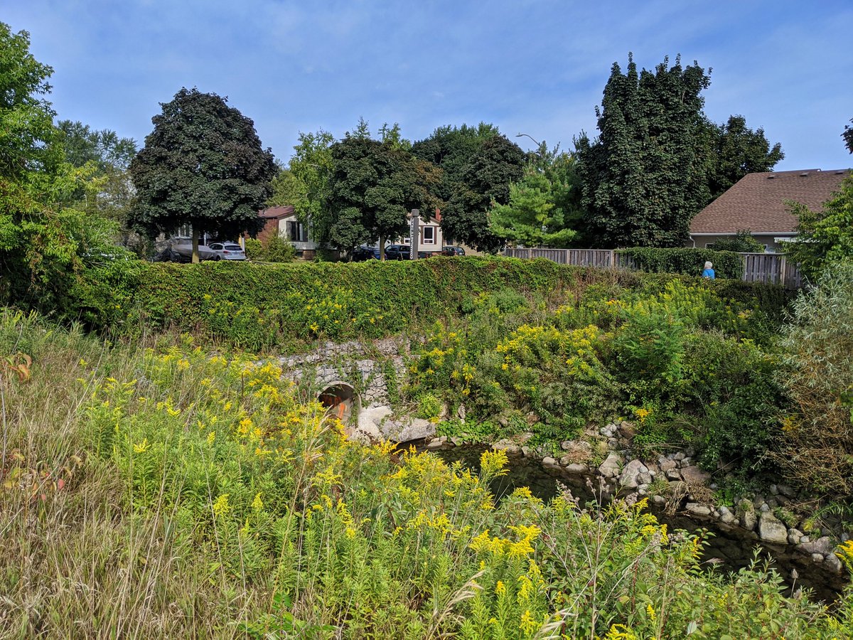
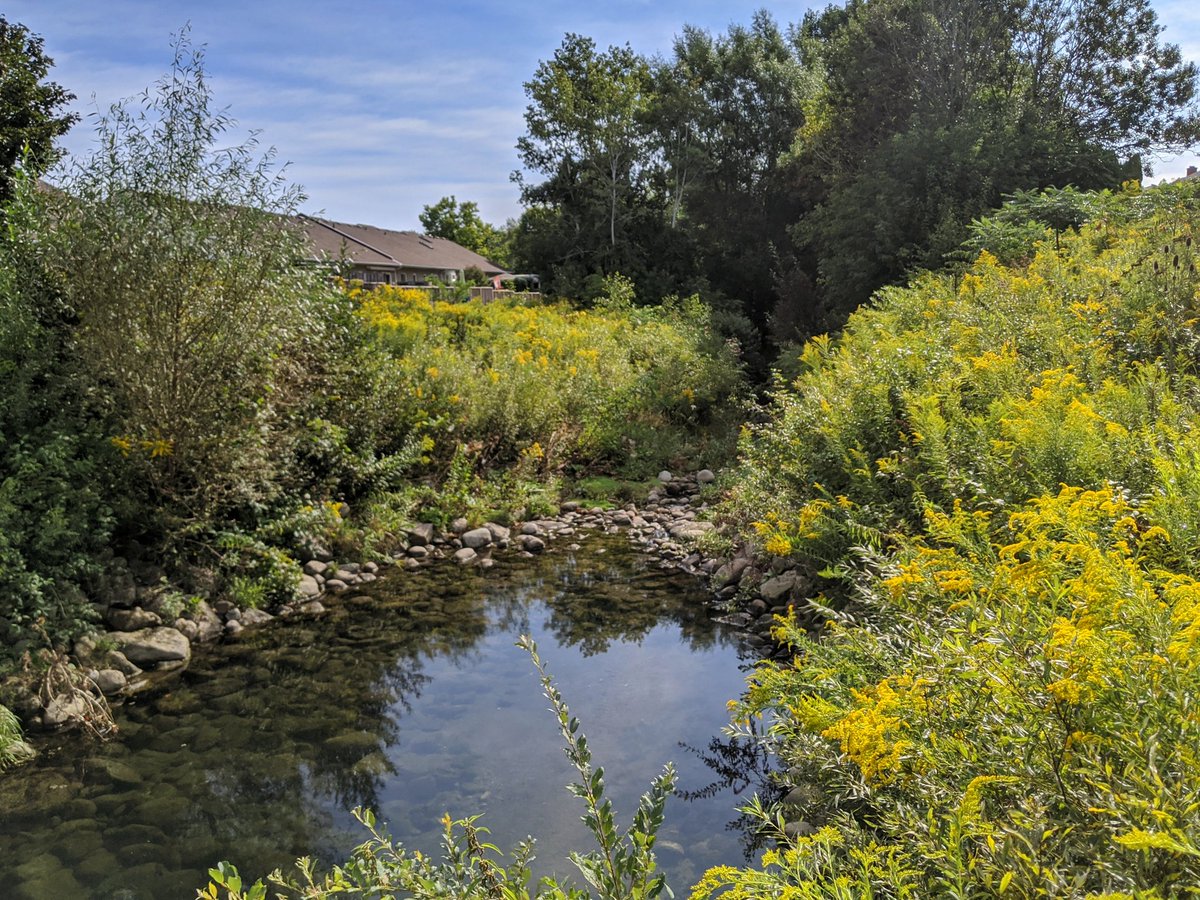
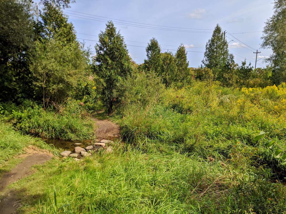
It’s hard to see the creek itself through all the vegetation, but no matter. It’s a nice walk. After crossing under Fallowfield Drive, Balzer Creek comes to its confluence with Schneider.


Gotta get upstream, which means walking through this junction. Quite the area, where Schneider Creek, the Heighthill Hydro Corridor, the Waterloo Sub and the Huron Park Spur all intersect.


Next up is Montgomery Creek. Can’t get a shot of the confluence because a bunch of the lands here are private industrial/commercial lots. Nonetheless it goes under CP’s Waterloo Sub and Courtland Ave, and comes to Vanier Park in a pretty straight channel.


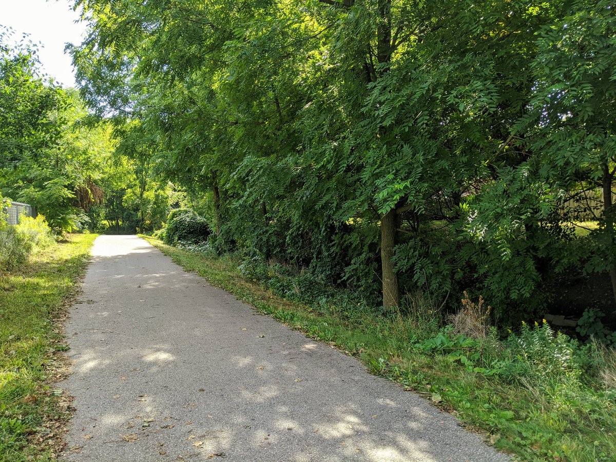
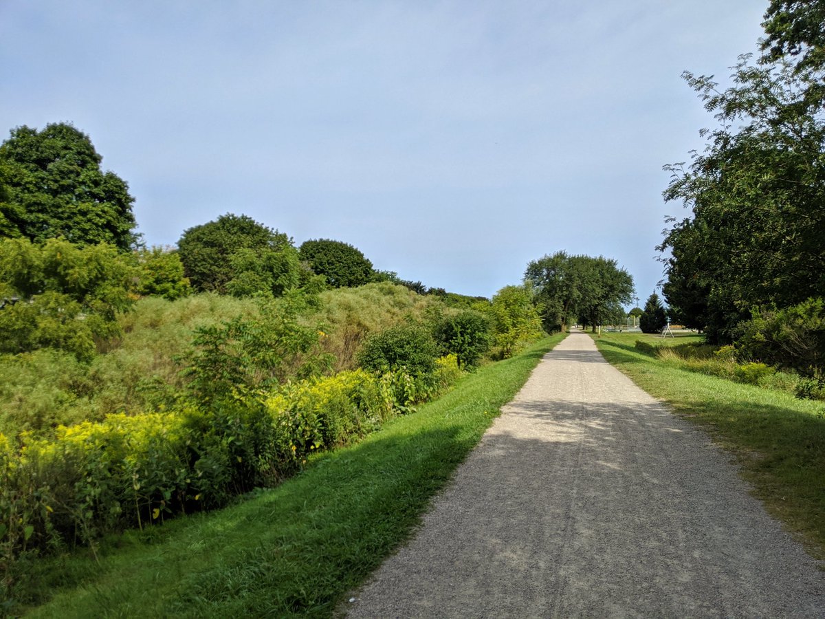
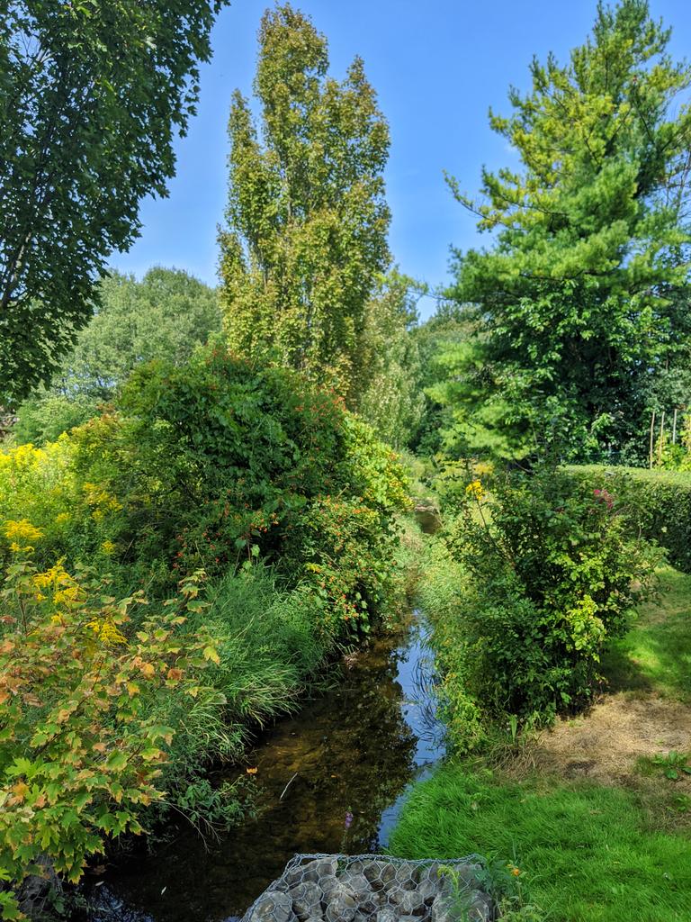
The channel continues in the same fashion through Wilson Park, but gains a parallel stonedust trail. Then it meets the Conestoga Parkway, meaning it ducks into a large culvert.
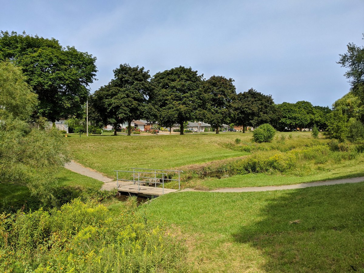


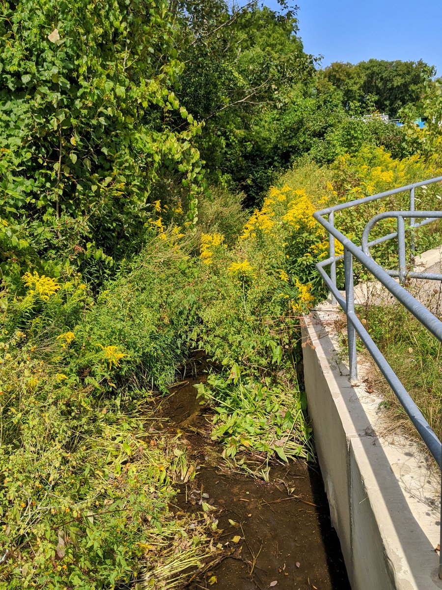
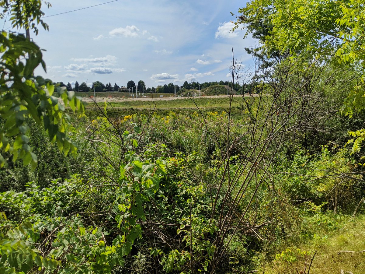
Going around and under the Conestoga Parkway, there’s a brief jaunt to Eckert Street, and then it opens again on the other side in this giant swath of excess land sandwiched by expressways and Dixon Street. It appears this doubles as a stormwater management pond.


Another short jaunt in the northbound 8 to westbound 7/8 ramp, couldn’t get a good shot. Then Montgomery Creek flanks an eponymous park until ducking under the expressway yet again. Gotta backtrack to meet it, there’s no connection for pedestrians/ cyclists.


Montgomery Creek reappears on the other side. The trail flanks the expressway again for some time until going northeast. Had to detour around some of this due to open excavation, but how much they closed the trail is ridiculous.


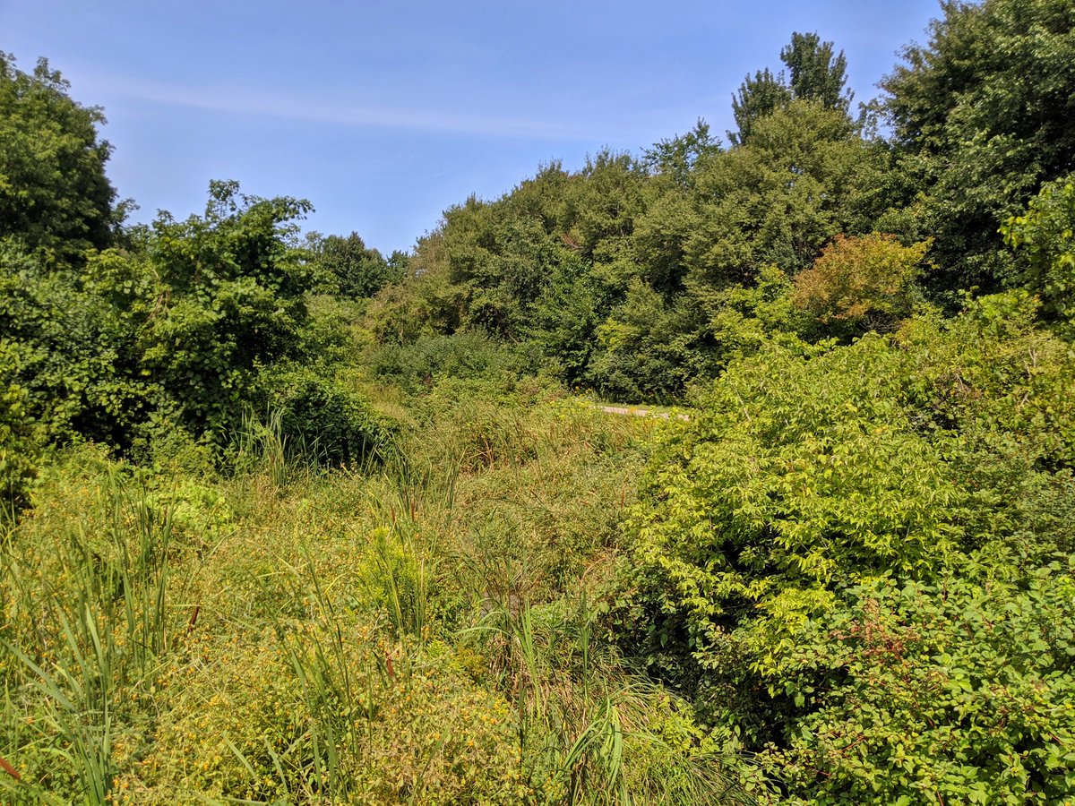
Across Ottawa Street into Stanley Park Conservation Area. This marks the headwaters of Montgomery Creek and, oddly enough, Kolb Creek too. It’s a giant tract of wetland that’s only fragmented by Ottawa Street and River Road.


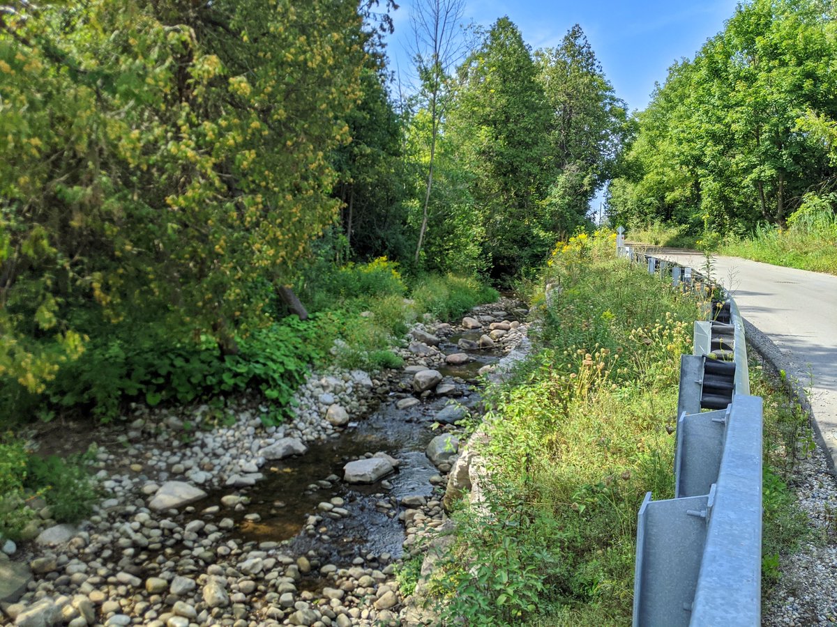
Past the hinge point and across River Road, Kolb Creek gets defined. It’s great to see it charged by all of these wetlands, but its condition appears to deteriorate quickly.


Yeah, this reach north of Rothesay is pretty rough. Super sedimented, stagnant, and skinny. It gets a little better as you go downstream.


Still getting better. The riparian zone is getting wider. There’s a new subdivision being built, but access is generally intact, and a buffer has been respected.

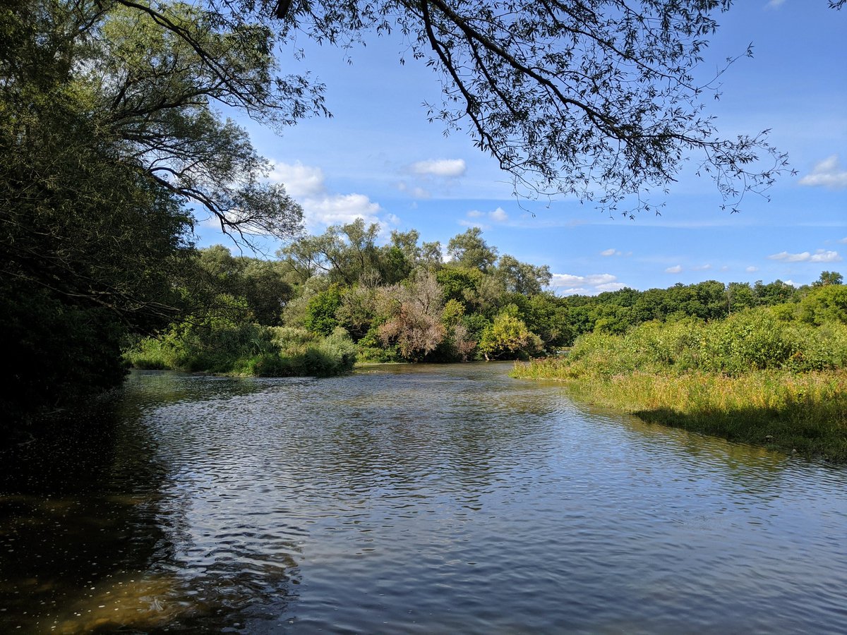
Slow descent into the river valley. Difficult to get a glimpse of Kolb until you get south of the confluence and look upstream. That marks the end of pursuing this third and last creek.

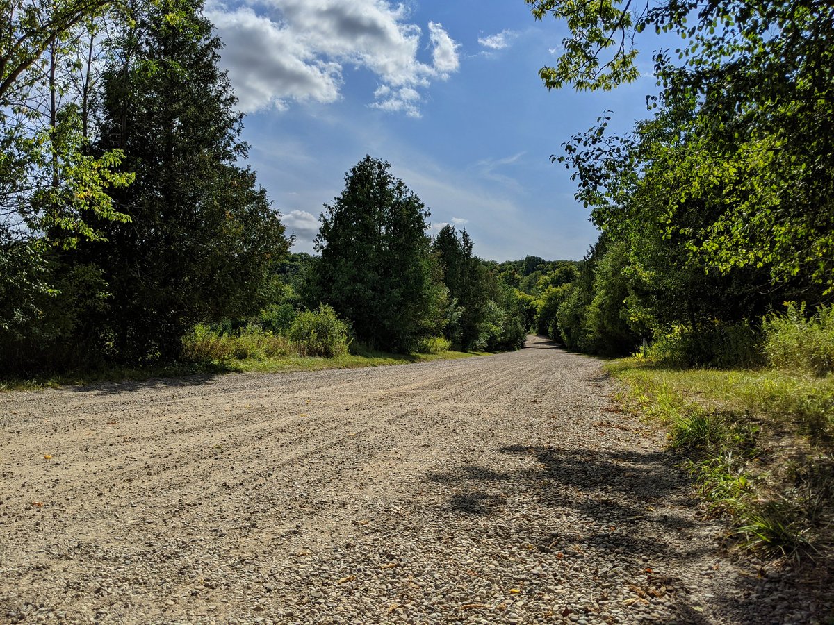
Got back to civilization by climbing up Natchen Hill. Quite a grade, but lots of tall thick trees. That’s a wrap for today.


Date: September 6, 2020
Length: 16.5 km
Type: Riverine