Good morning. I’ll be braving the cold today and following the Conestoga Parkway (Highway 7/8) from Kitchener’s west border. Let’s go.
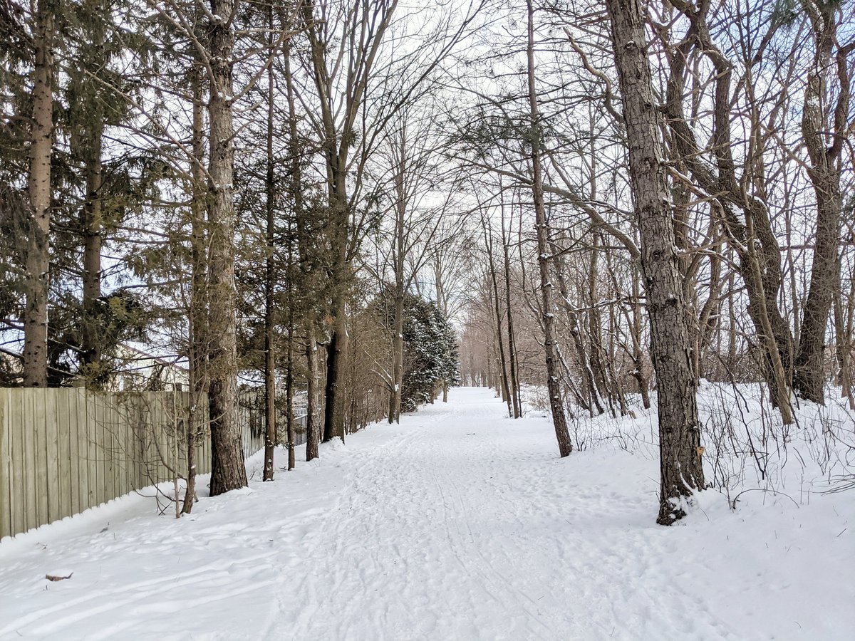
Now I usually follow freeways to highlight the large gaps between crossings. But they can make for good public space in parallel, especially when connected with other linear spaces like hydro corridors. This stretch from Ira Needles to Fischer-Hallman is a good example.


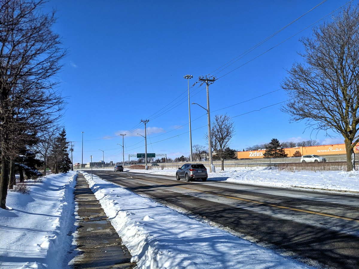
Unfortunately, good public space parallel to freeways is the exception rather than the norm. It’s more likely that you’ll find people’s backyards abutting them. Sweeping through the streets of Forest Heights, and across the freeway at Fischer-Hallman.


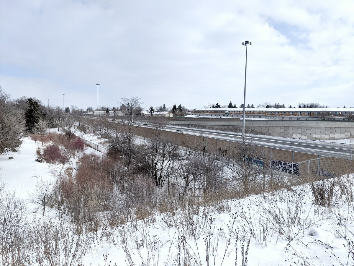
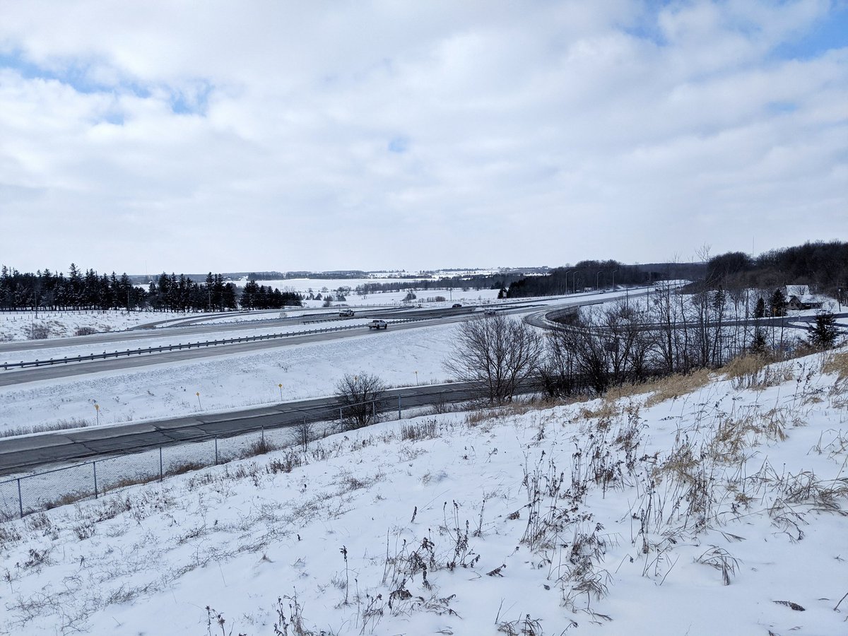
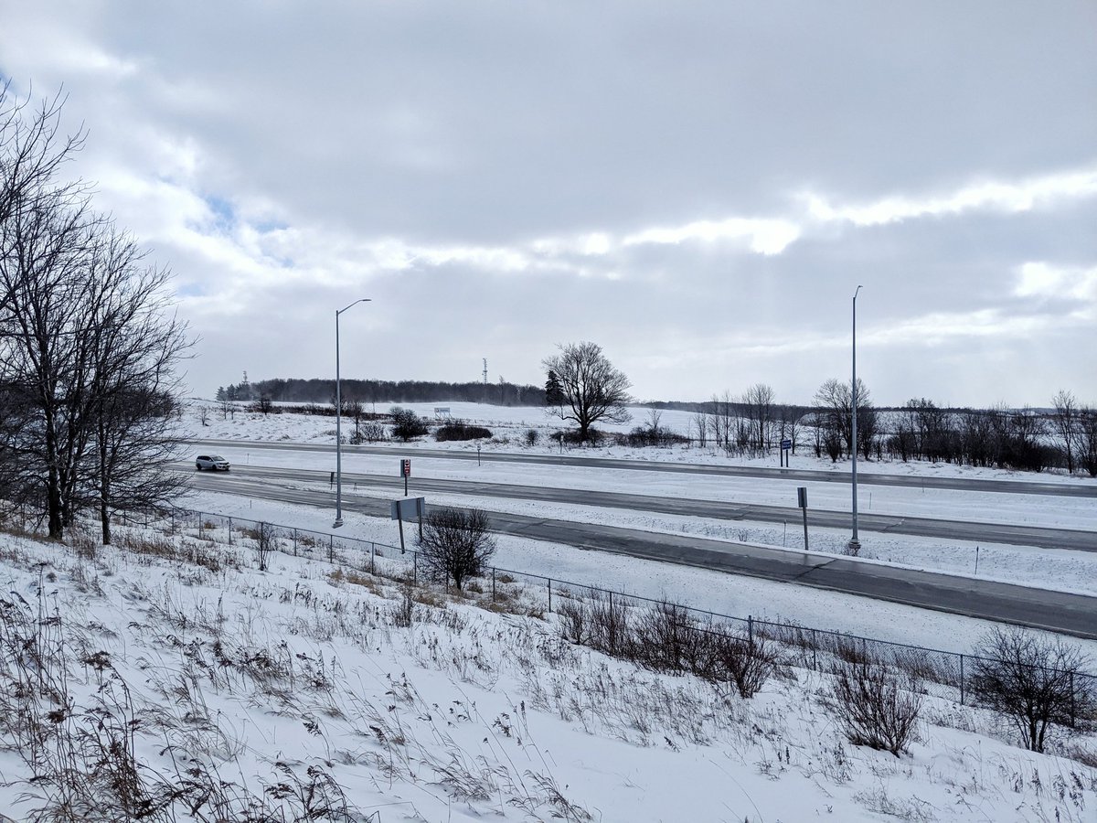
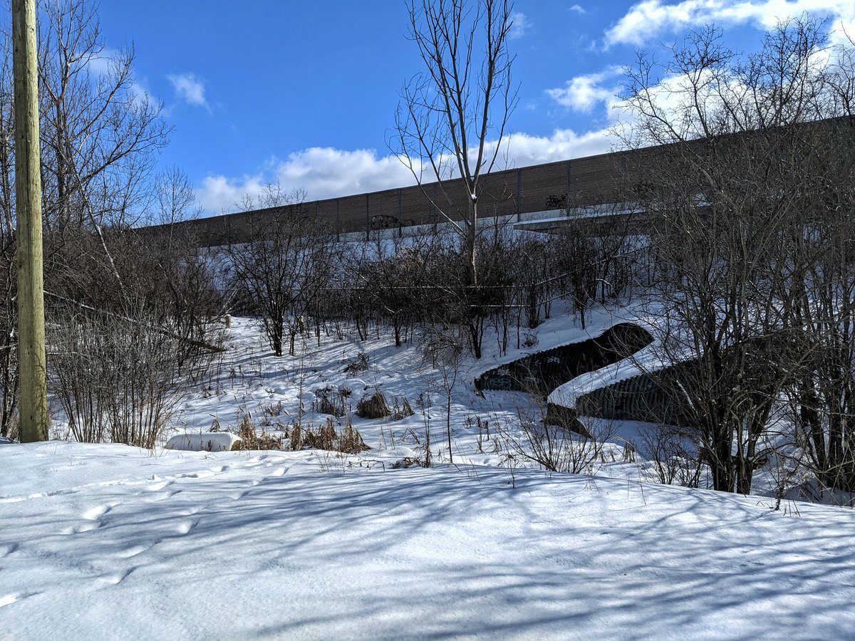
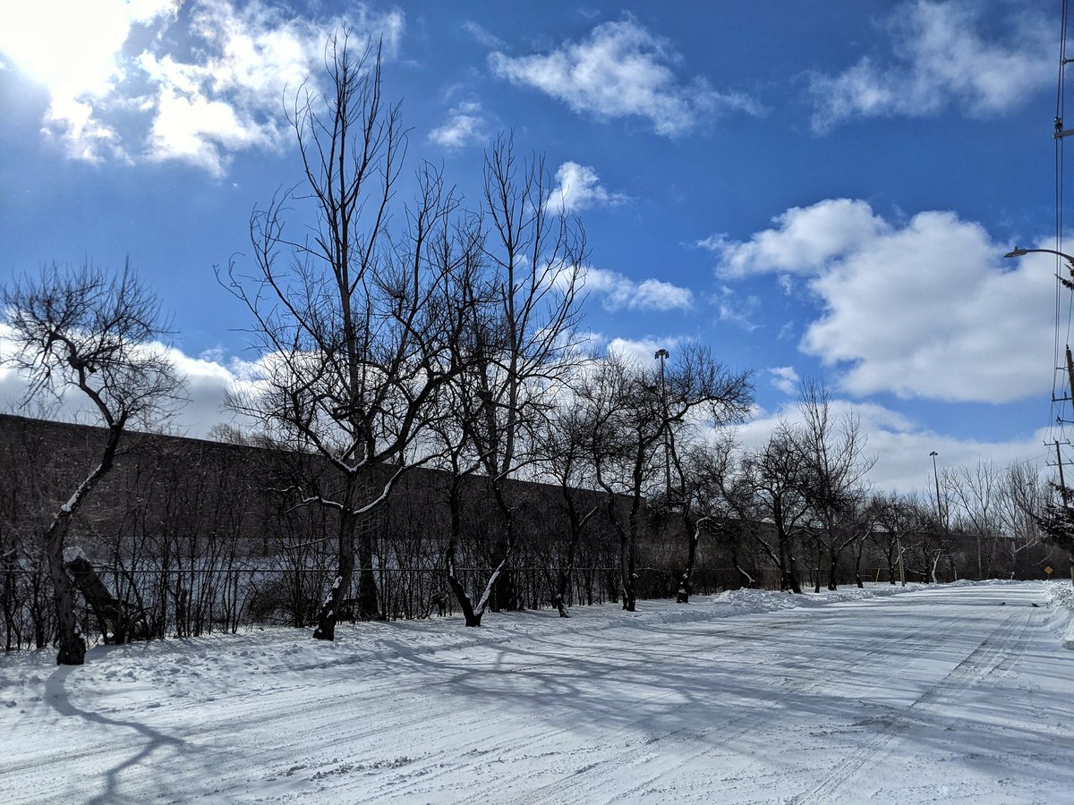
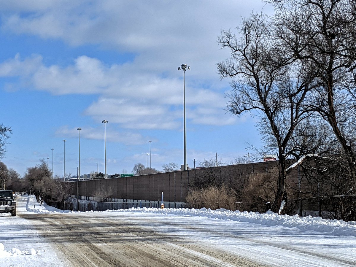
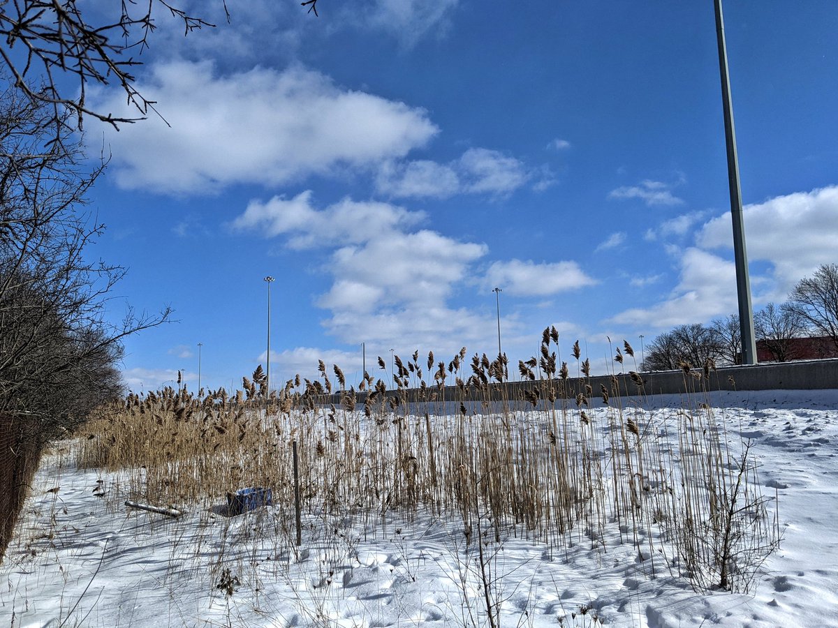
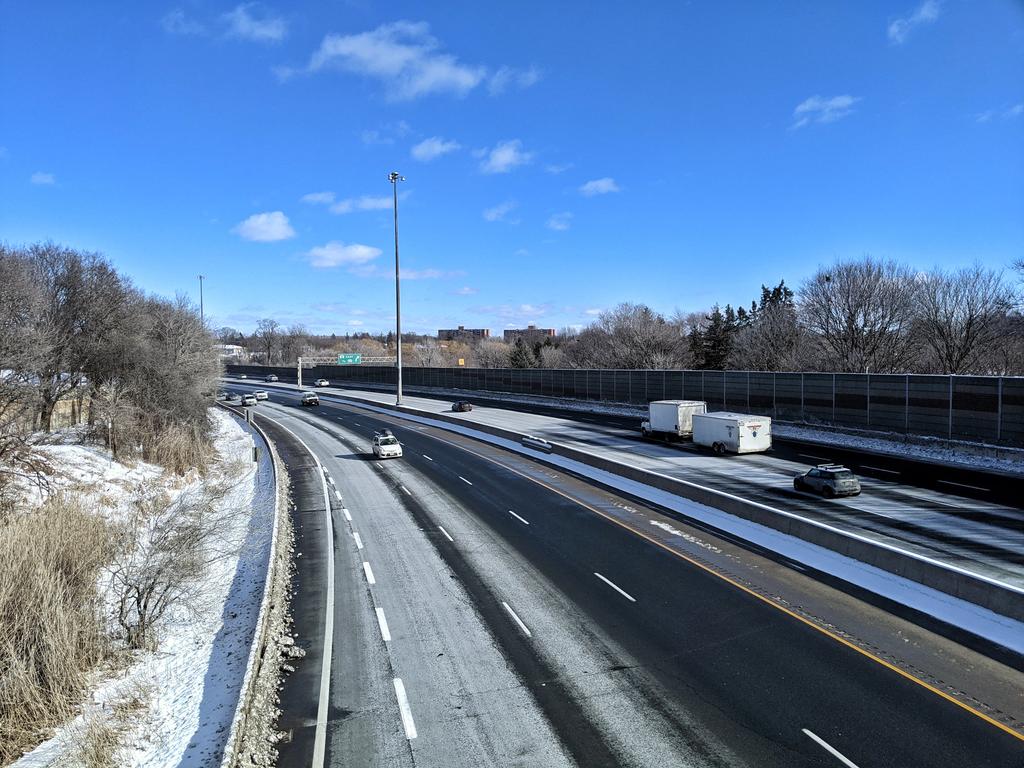
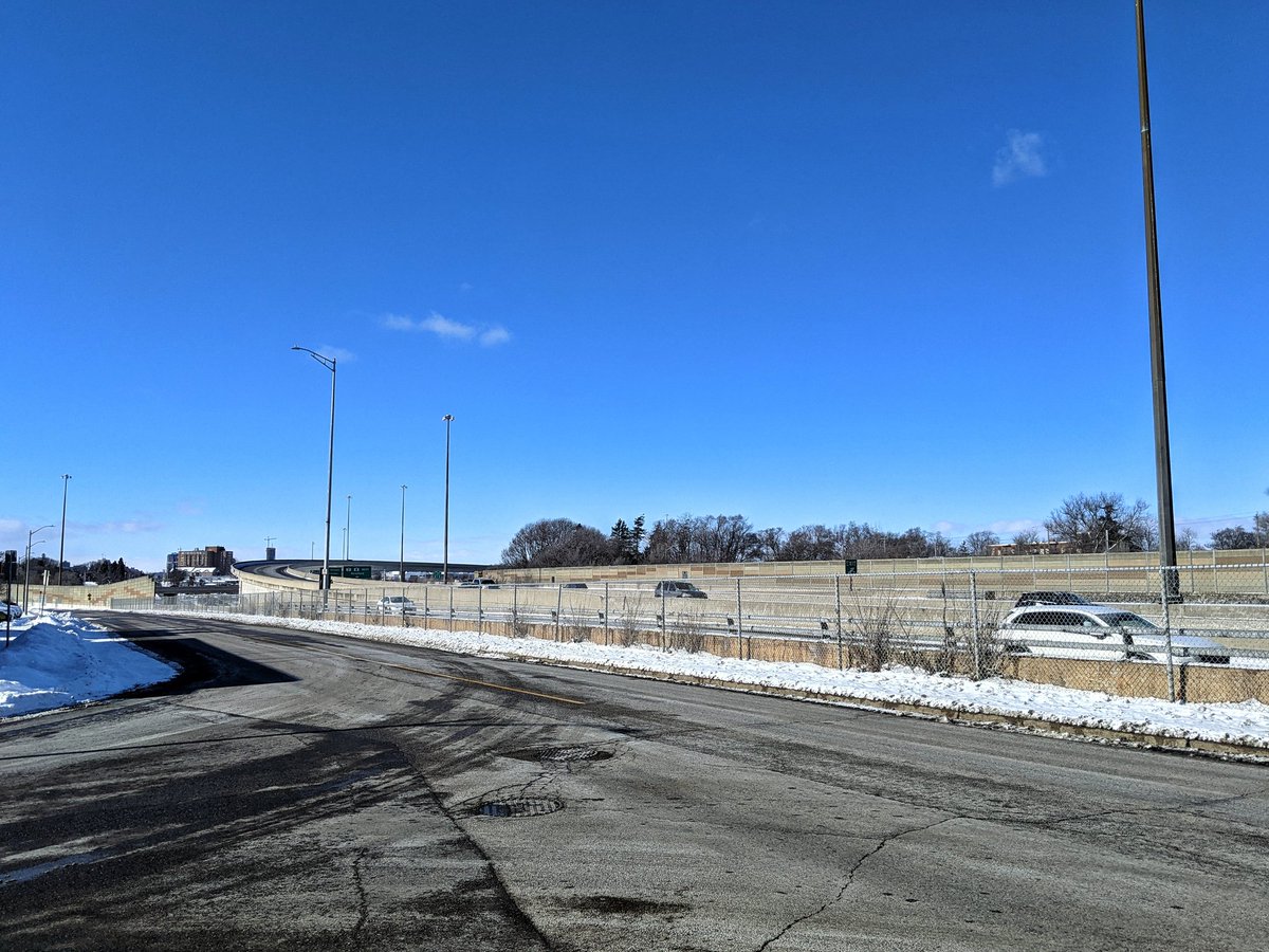
One thing you’ll notice with freeway rights-of-way is that they’re often fenced way wider than the road surface itself. That’s space to widen it, and despite that being such an outdated way out of congestion, it remains fenced, wasted space. To Westmount, and under the freeway.

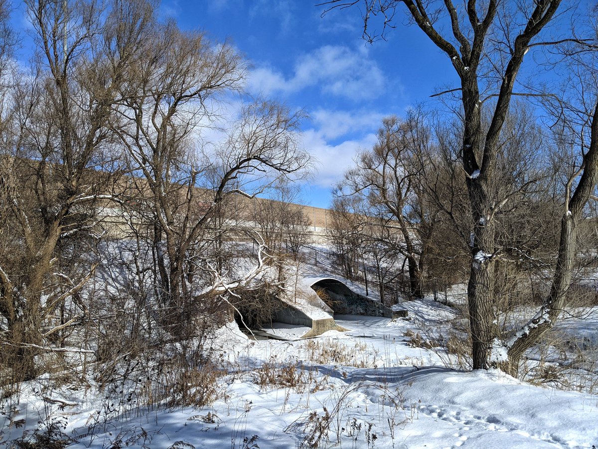
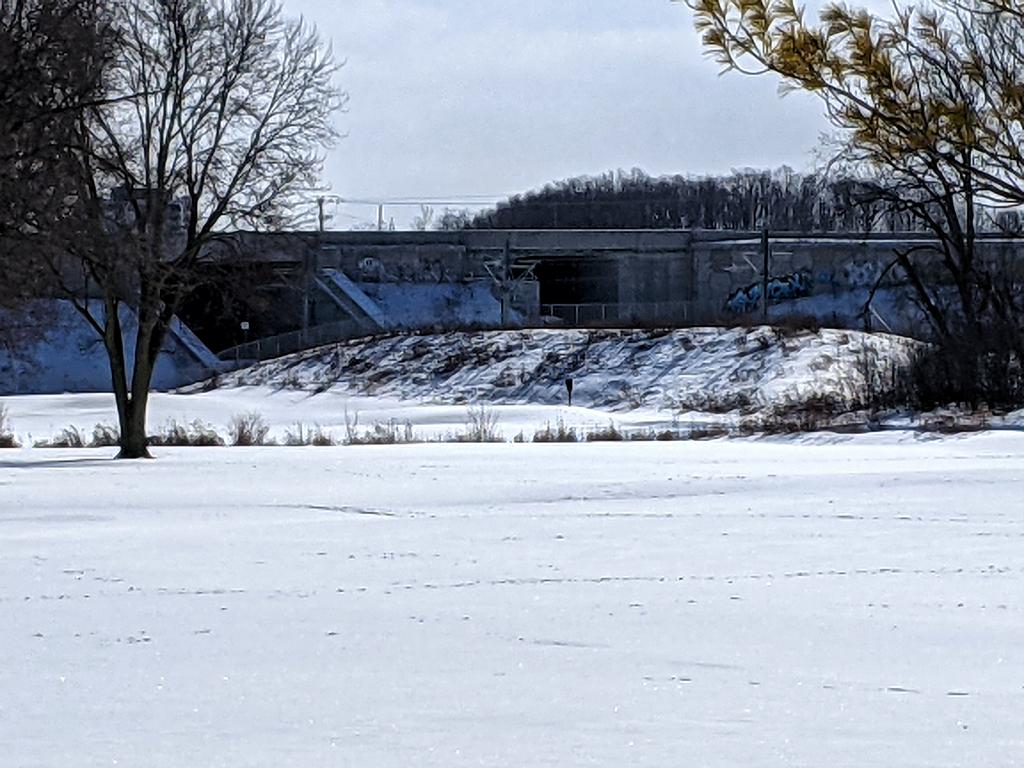
Another detrimental aspect of freeways is the spots where governments cheap out and stick creeks into culverts instead of building bridges, like where Conestoga Parkway crosses Borden Creek. Fortunately there’s ample park space to the north, but makes a dead parcel to the south.

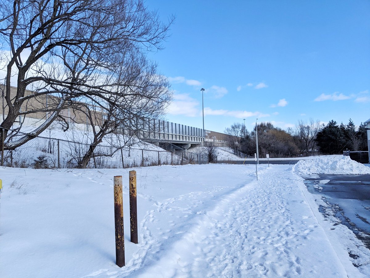
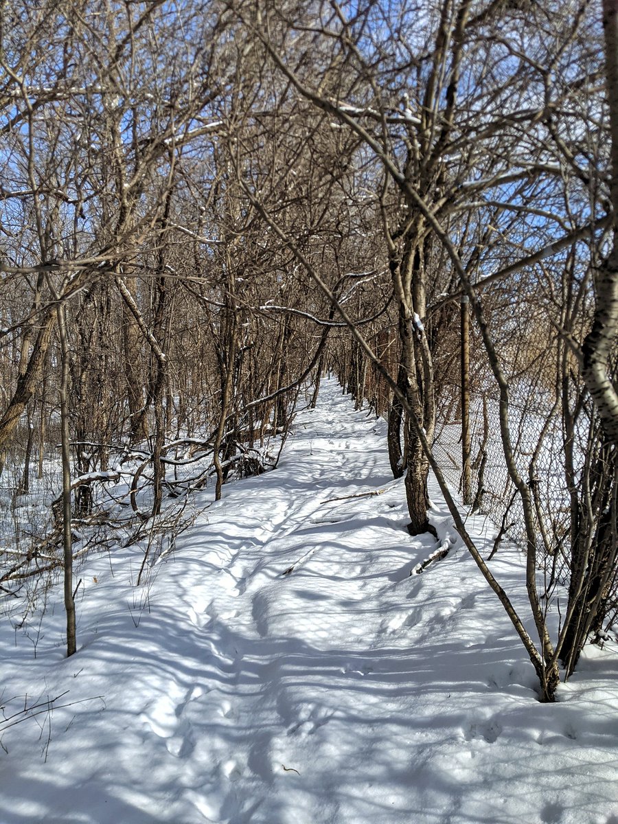
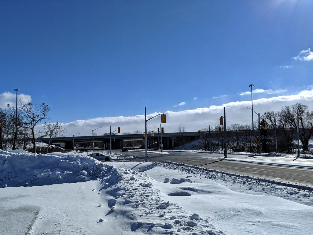
So sometimes, public land is fenced off in the name of accommodating future cars. Sometimes there’s ample public space, like the southeast corner of Meinzinger Park, and there’s just been no effort to forge an active transport connection.

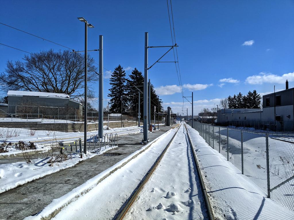
We know the challenges for pedestrians and cyclists when it comes to these freeways. Then you get stuff like this: the ION LRT tunnel under Conestoga Parkway without any room for a trail. Huge missed opportunity to make these neighbourhoods walkable. Such a negligent oversight.

It’s not all bad news. We are capable of making new connections. This bird cage links Rockaway with Vanier.

Around the Highway 7/8/85 interchange, and down Kingsway Drive. Highway 8 goes into a trench below Franklin, and then soars back up over Fairway. That’s going to mark the end of today’s walk.


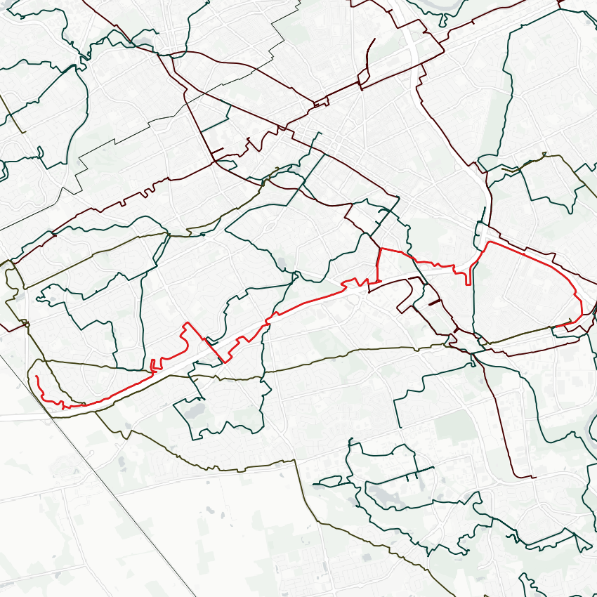
Date: February 7, 2021
Length: 16.0 km
Type: Railway / Freeway