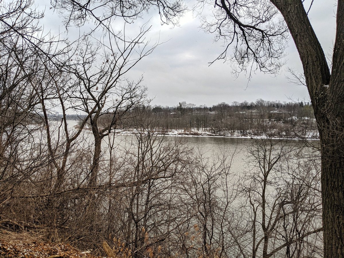
Good morning. Today I will be following Groff Mill Creek, and trying to seek out some of the contributing ditches and drains into it. I’ll start near its confluence with the Grand River, behind Cambridge Memorial Hospital. Let’s go.
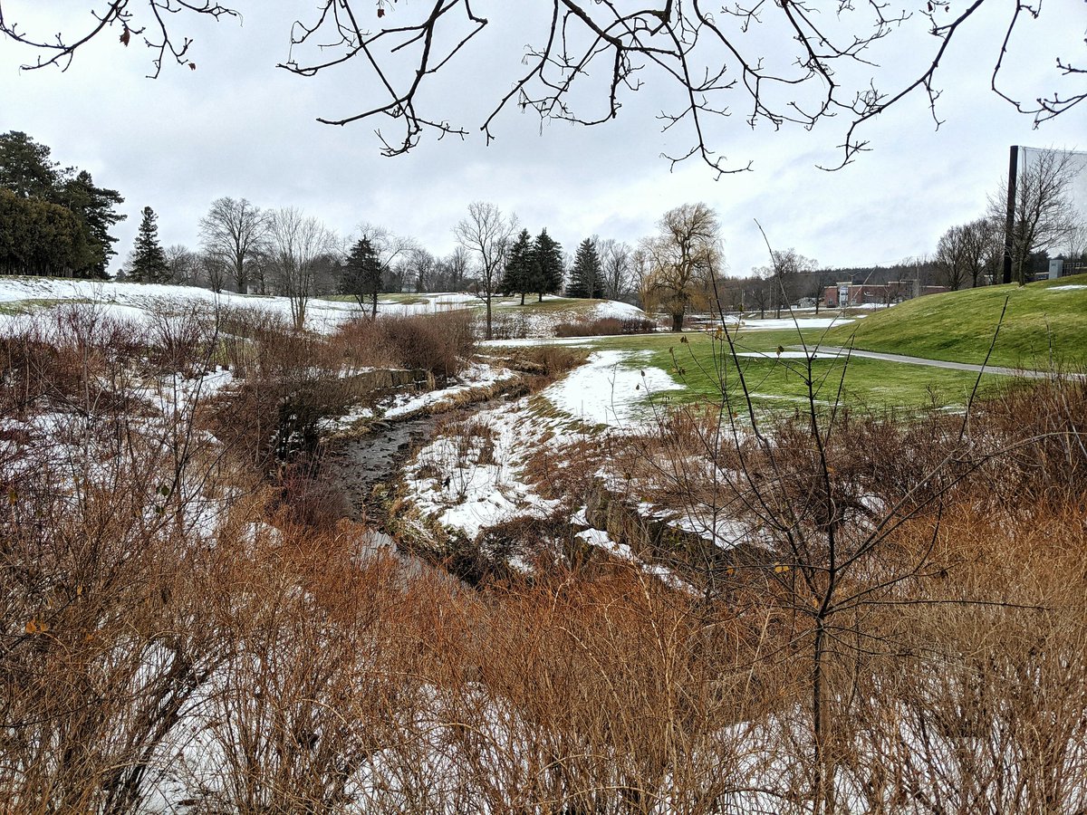
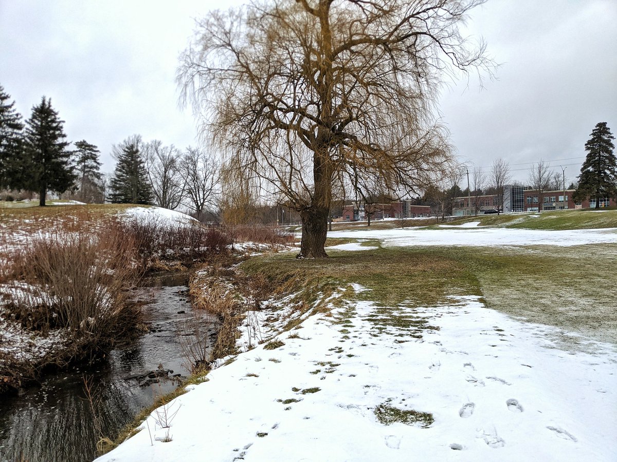
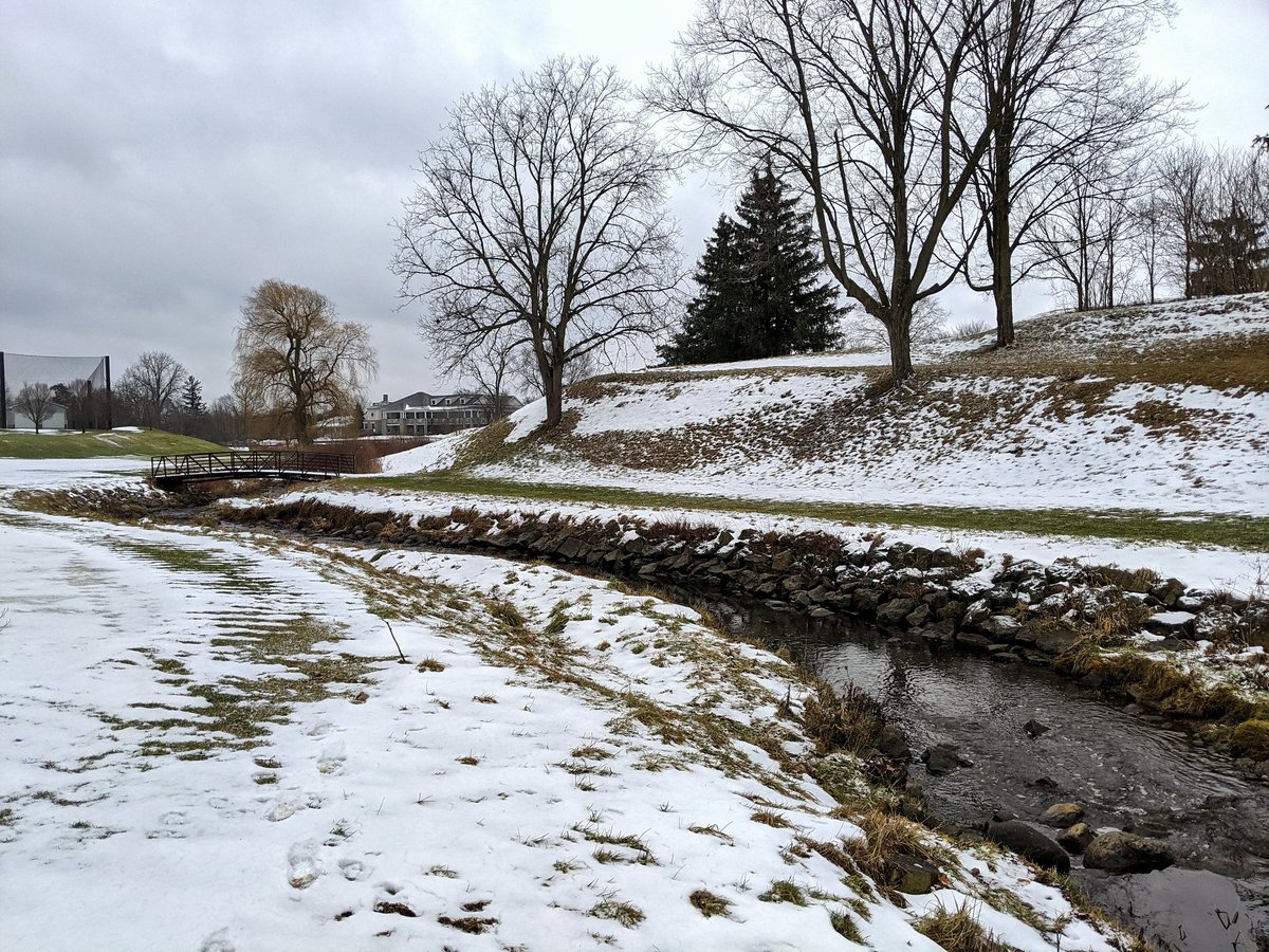
From behind the hospital, the creek meanders through a golf course to Coronation Boulevard. On the other side is private property and railroad tracks. Gotta go around.
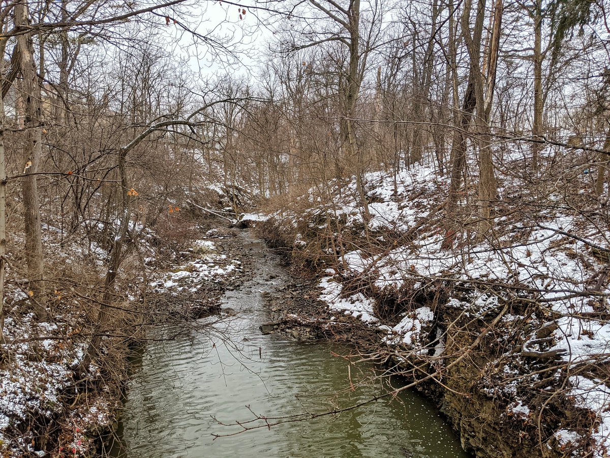
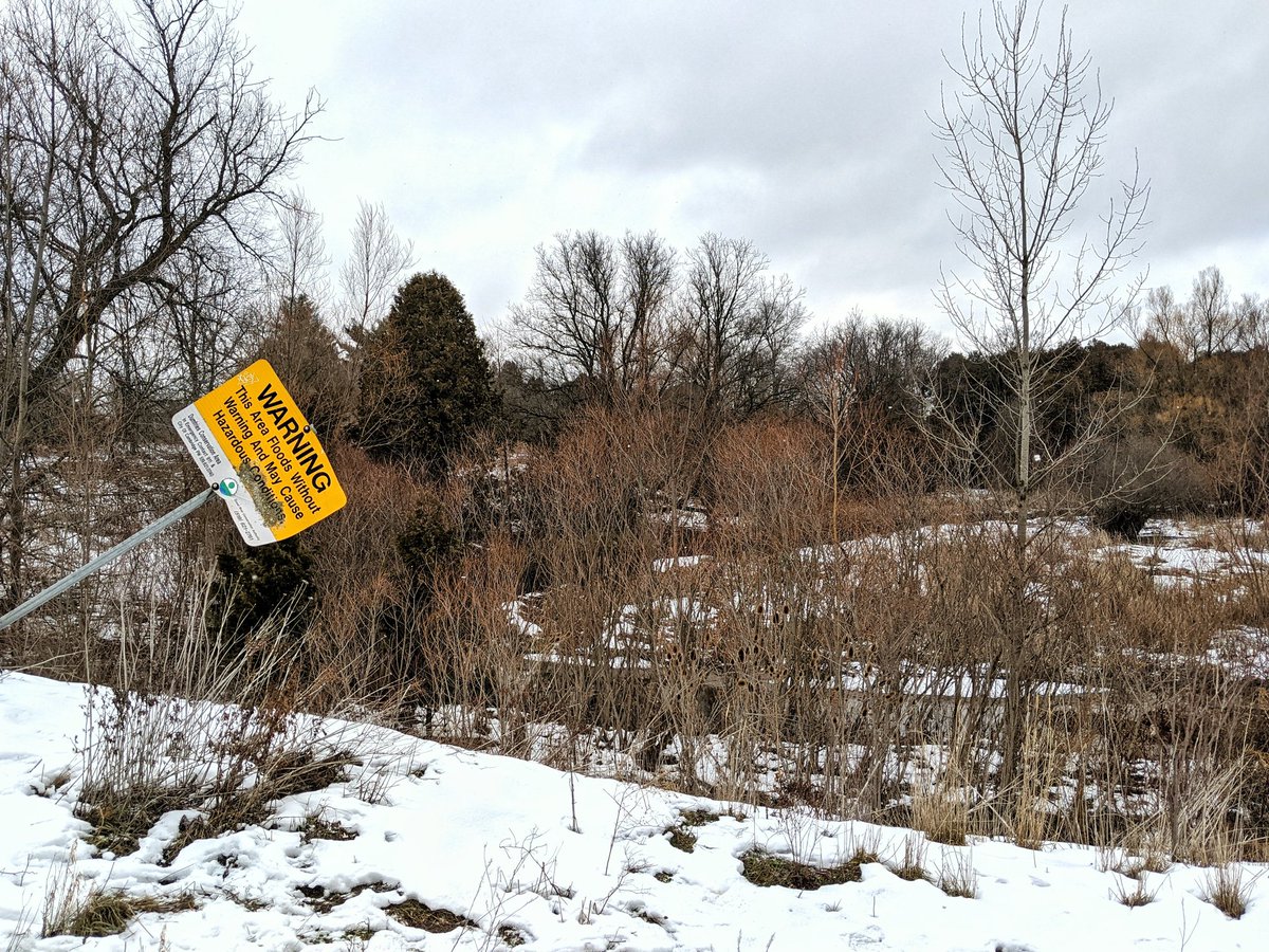
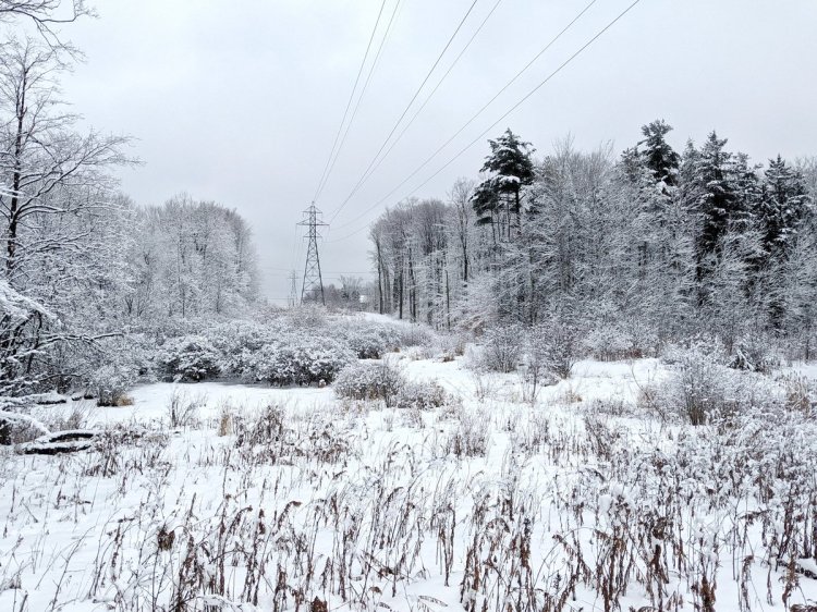
Meeting back up with the creek in Dumphries Conservation Area. Signs warn how this creek is flashy, fed by runoff in a 1,000 hectare, mostly industrial-commercial area of Hespeler. The conservation area is a good natural refuge, but too little too late to slow the rushing waters.

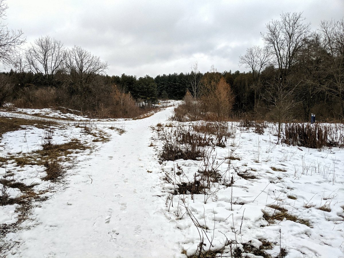
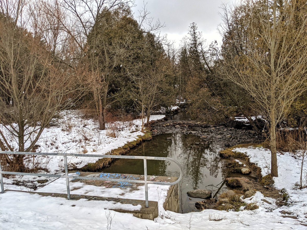
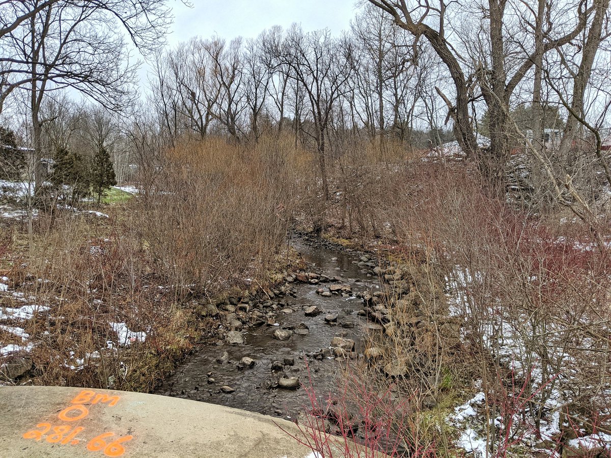
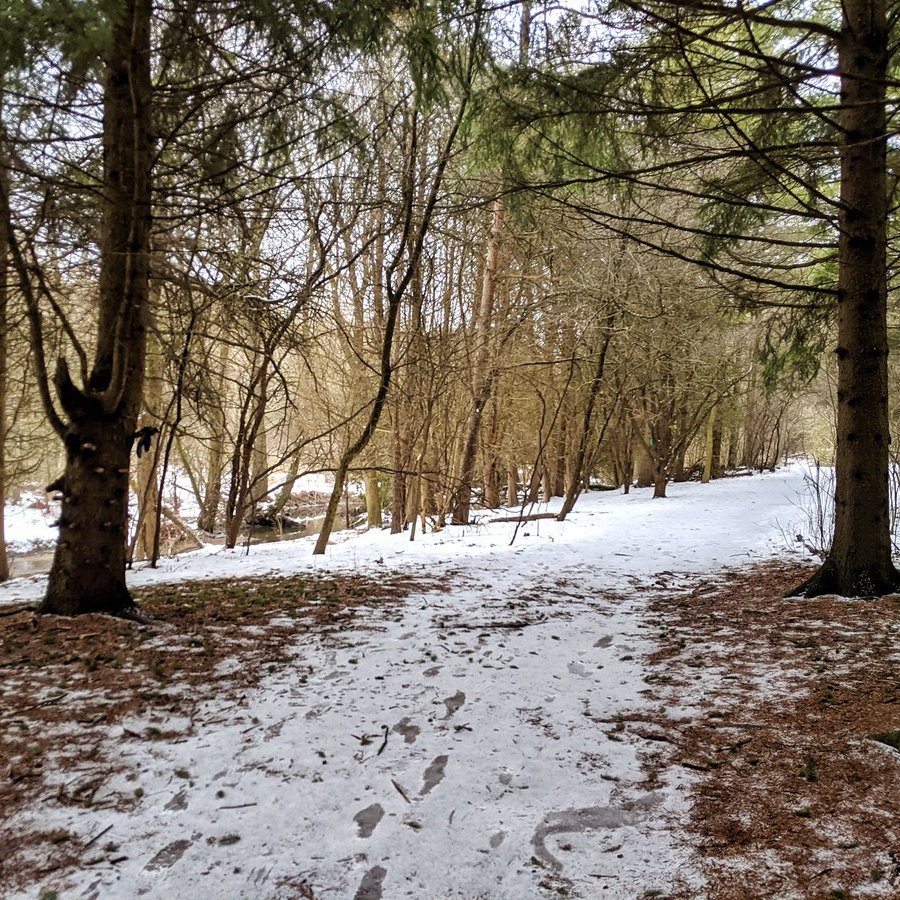
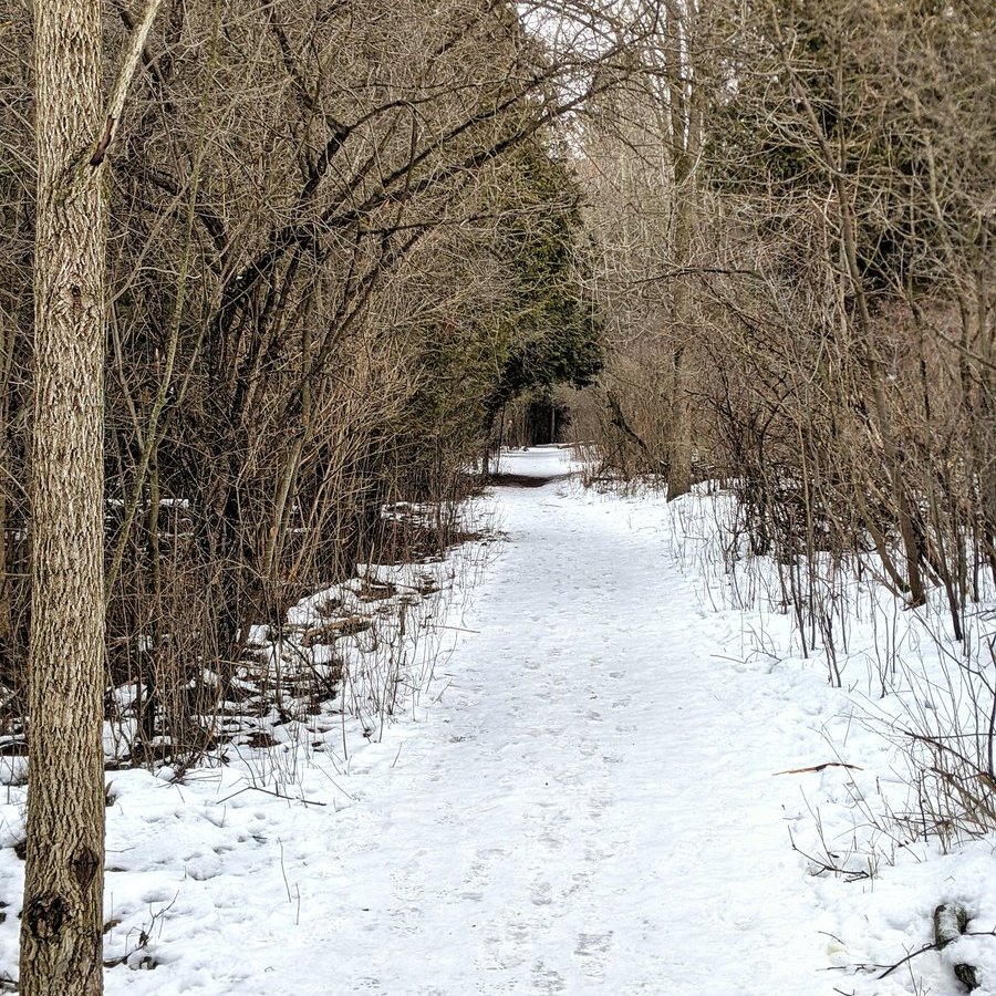
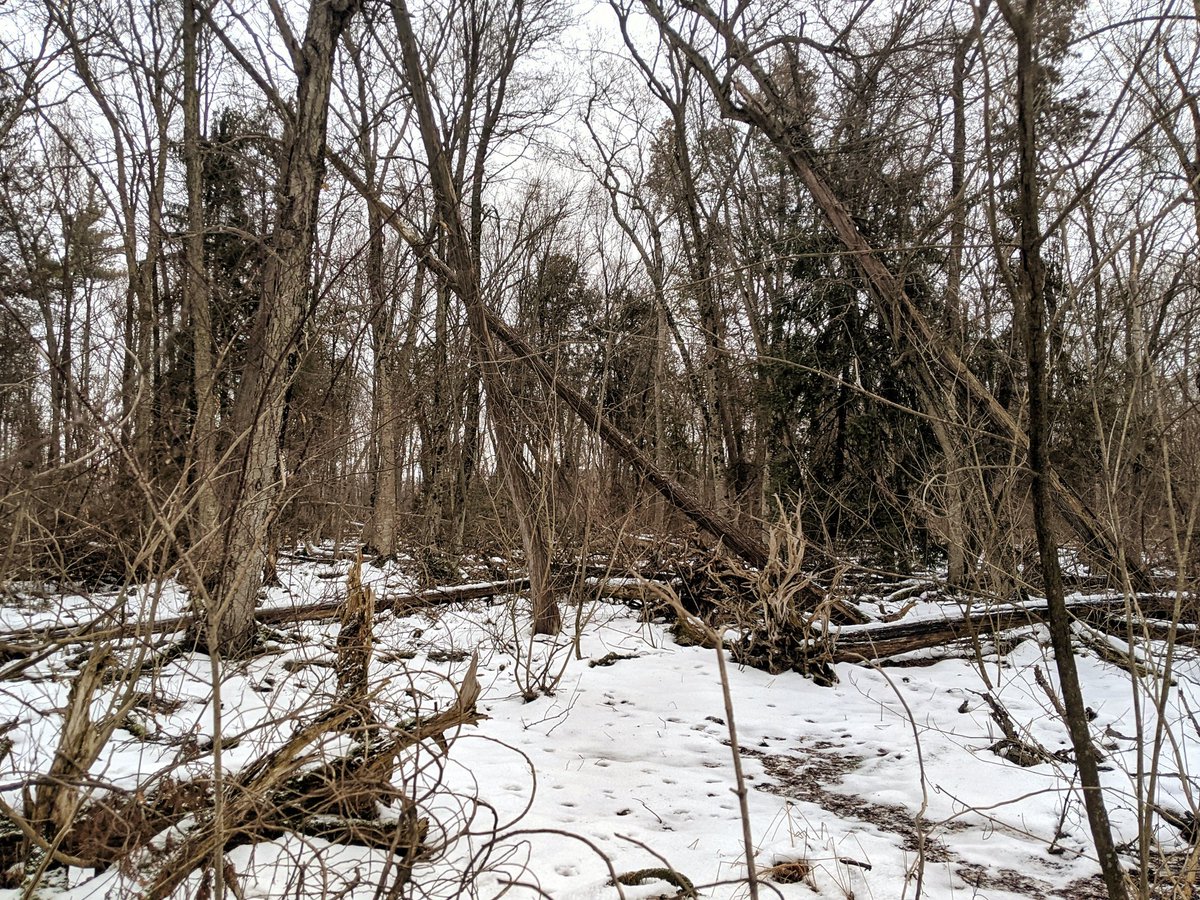
A trail parallels the creek through the back forest. Enjoying the fresh smell of pine while I can. The trail comes to Dunbar, marking the threshold where the creek becomes a municipal drain.
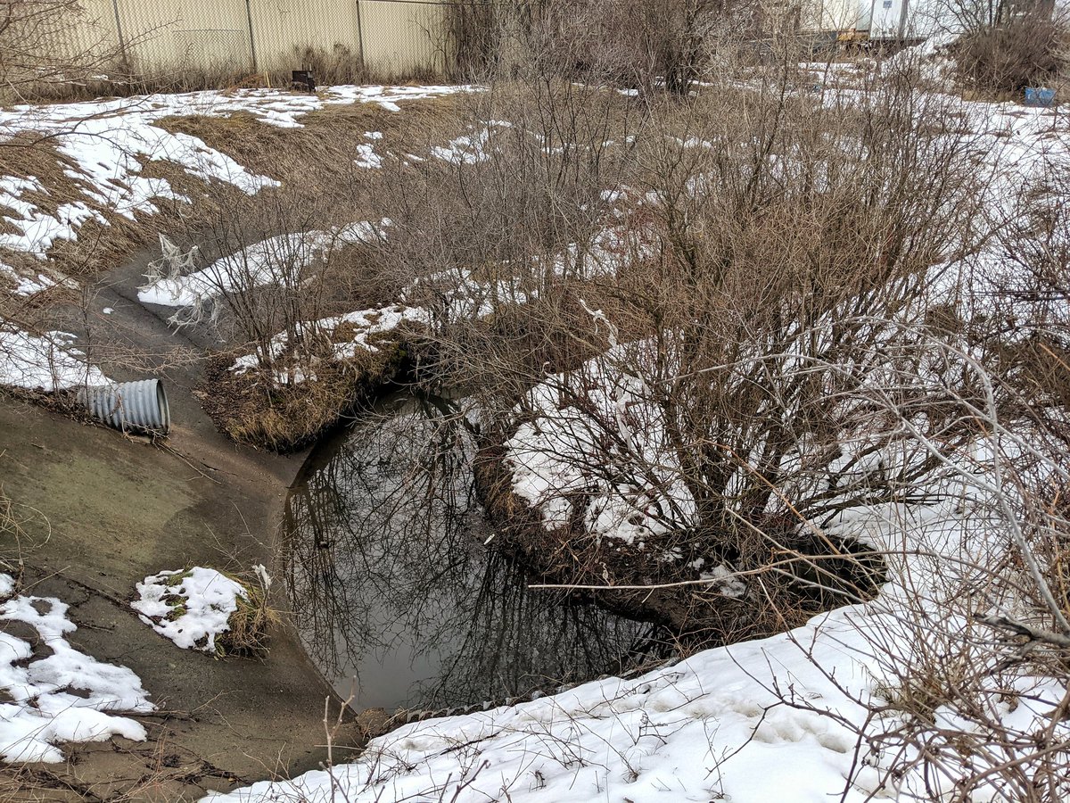
This reach is mostly fenced off, given its vulnerability to sudden rise. Not much to see until a brief glimpse into the channel north of Bishop.
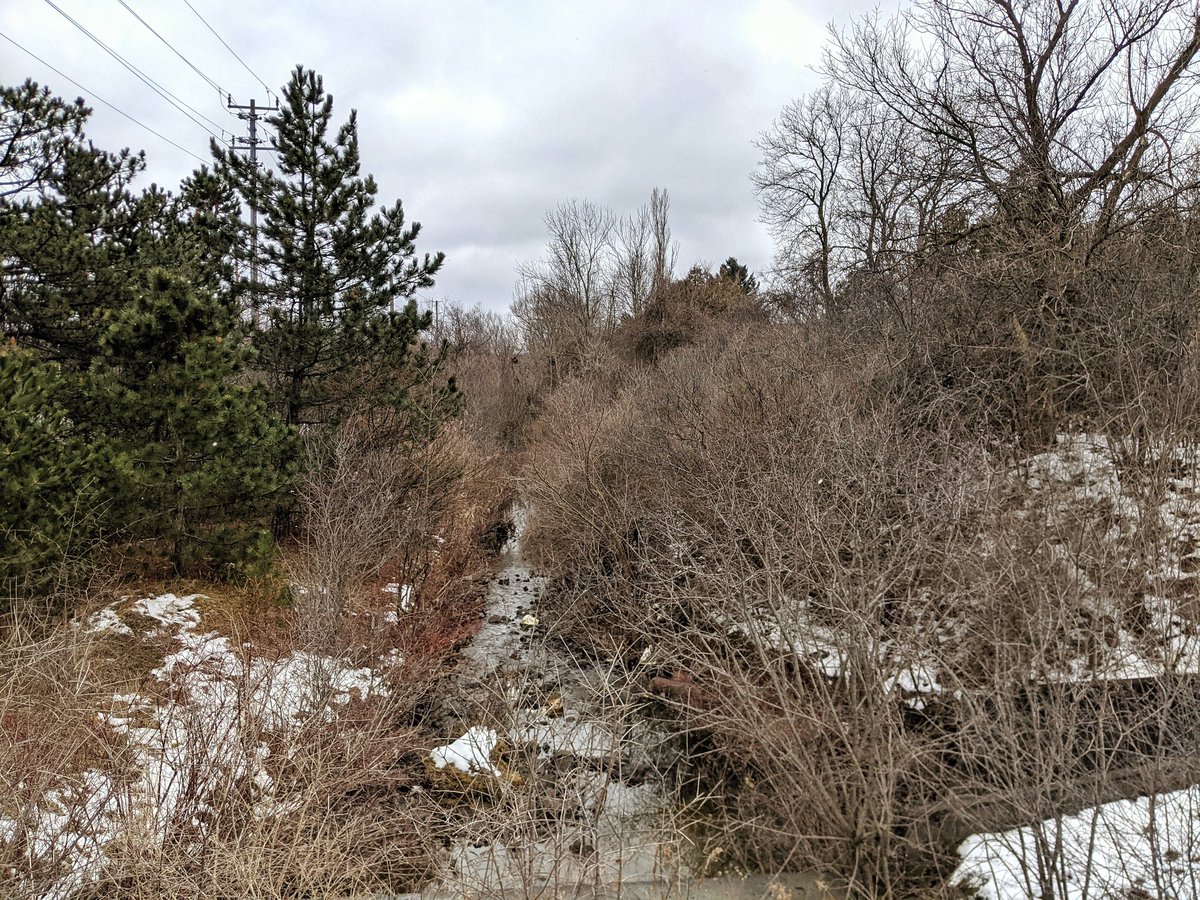
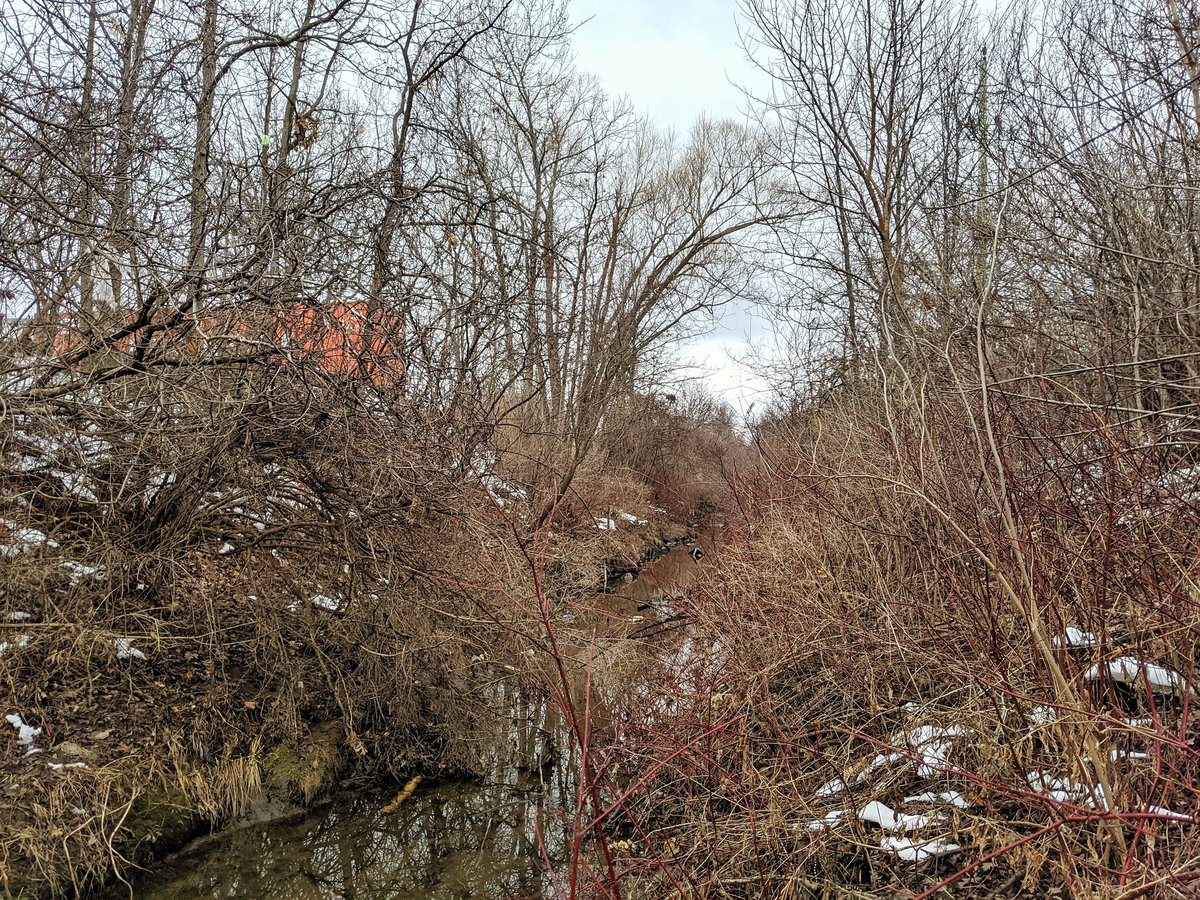
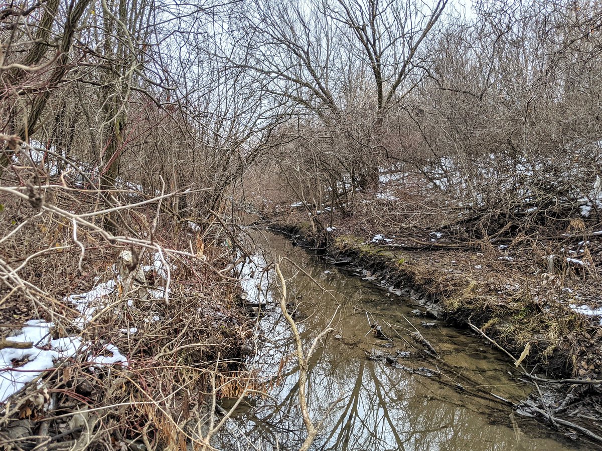
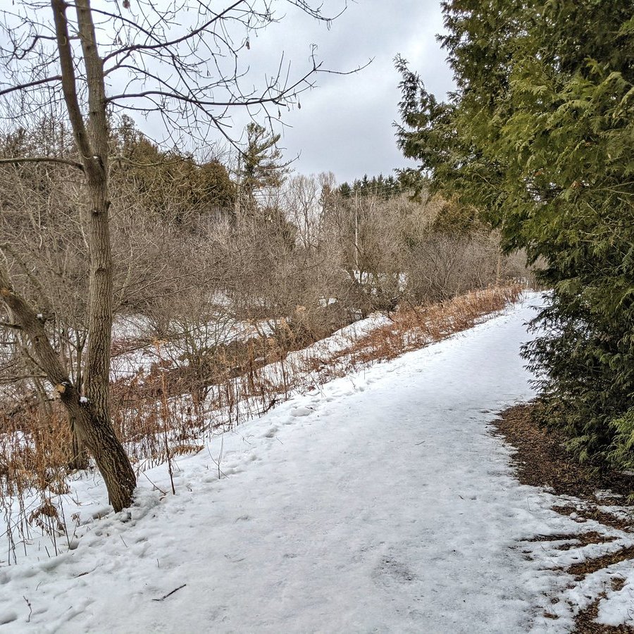
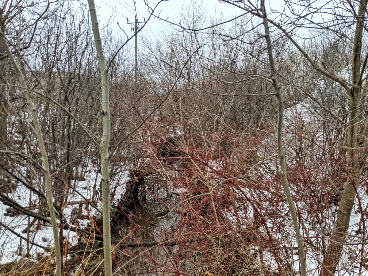
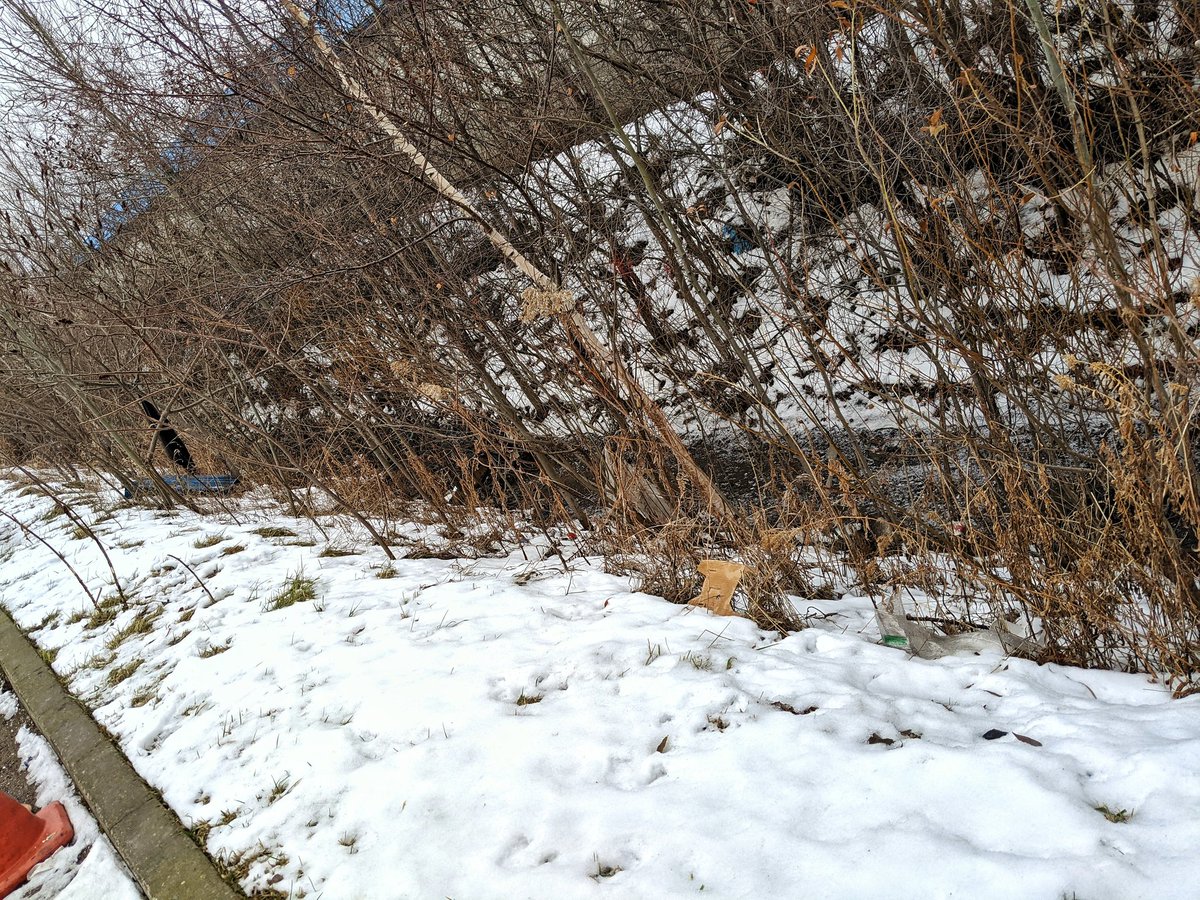
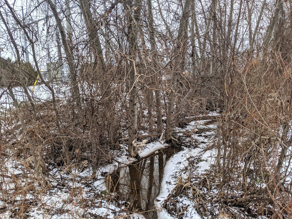
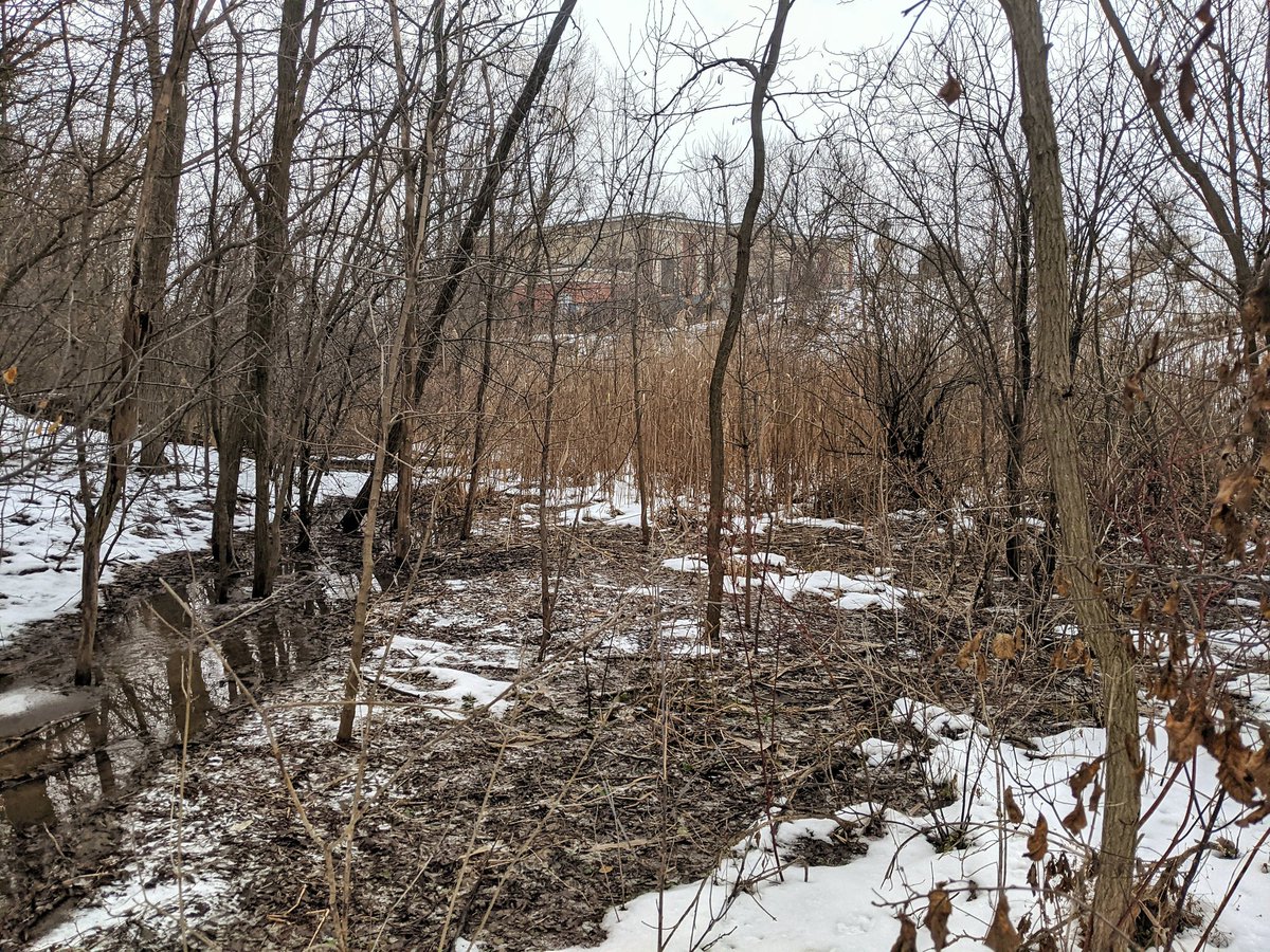
Still not a lot to see. Lots of fences and scrub brush. Again, using the word “creek” to describe this watercourse north of Dunbar is being generous.
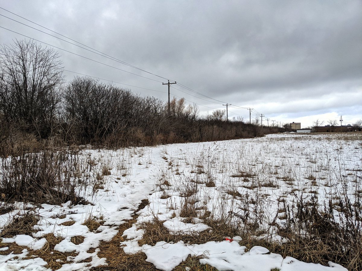


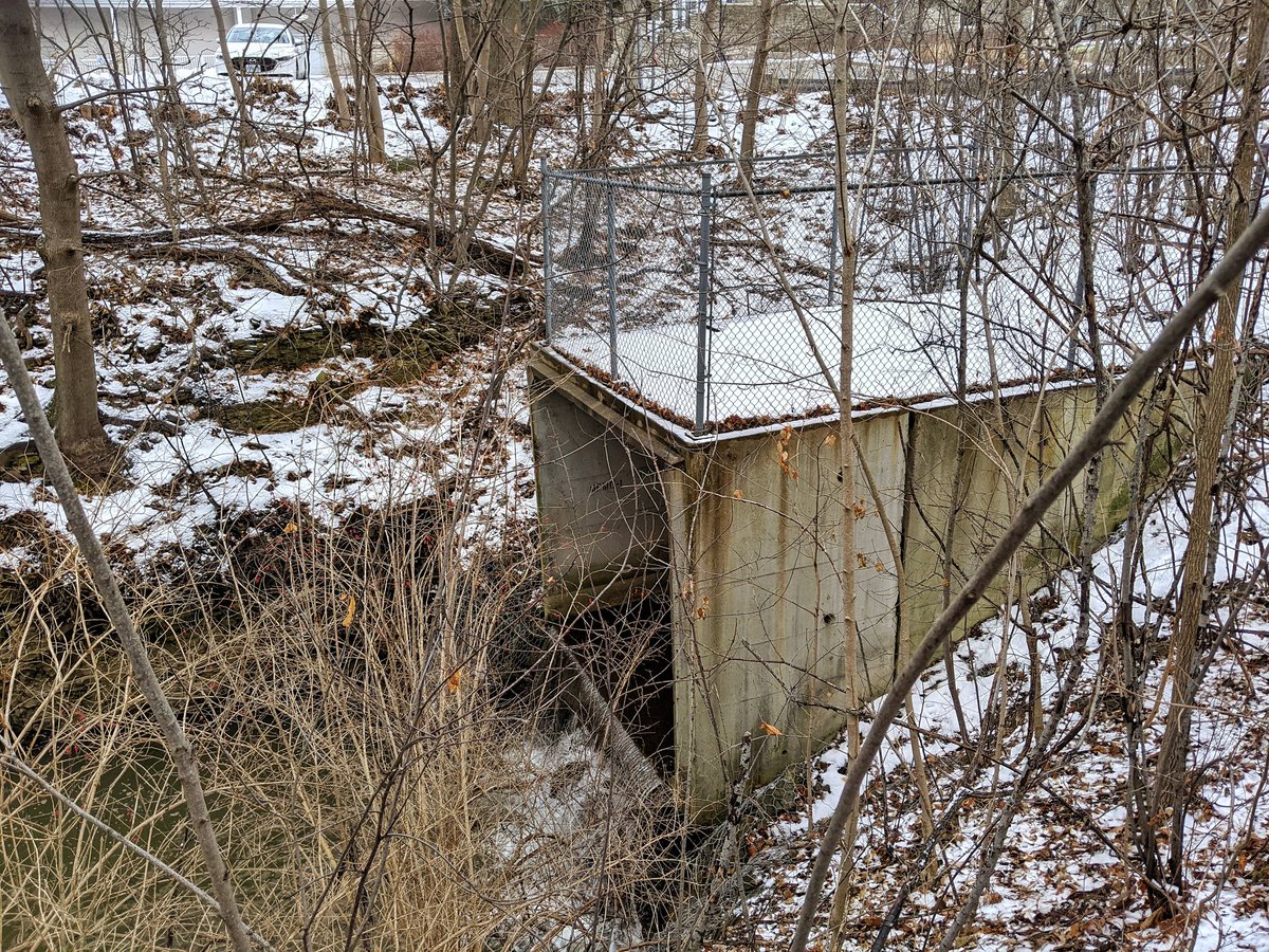
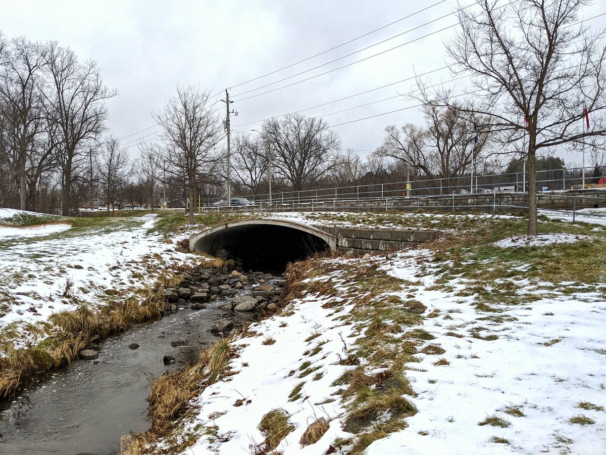
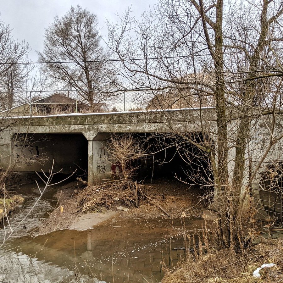
The creek takes a 90° turn north of the CN Galt Spur towards Hespeler Road. Then it disappears into a pipe. As far as I can tell, that’s the last of anything significant on the surface that contributes to this watercourse. The rest is underground or in small ditches.
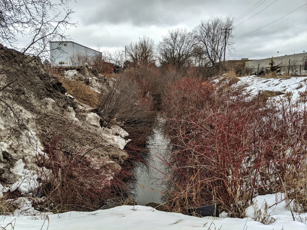
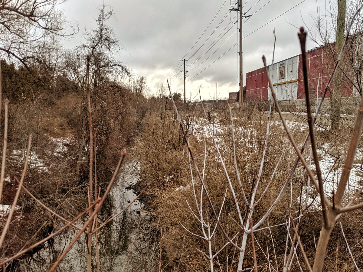
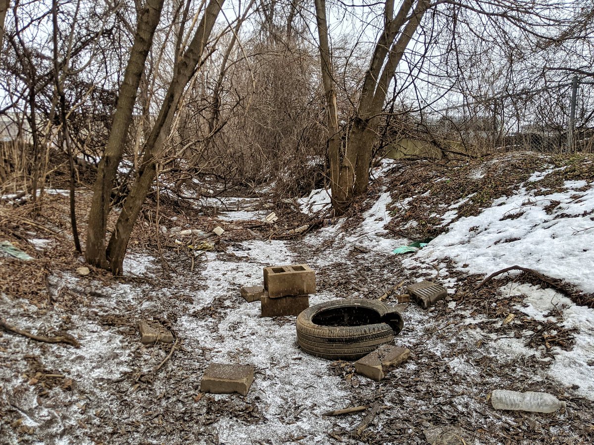
One significant ditch is north of Bishop. Pretty overgrown too, and no baseflow. Dry enough to set up some seating.
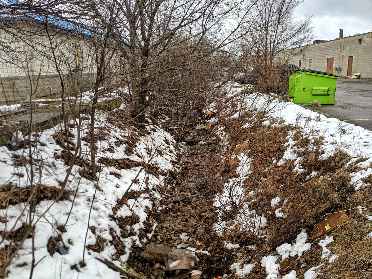

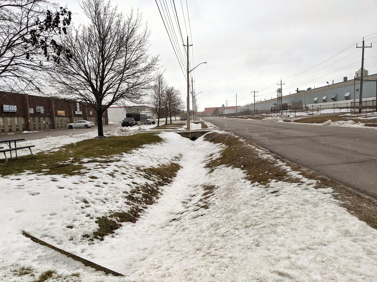
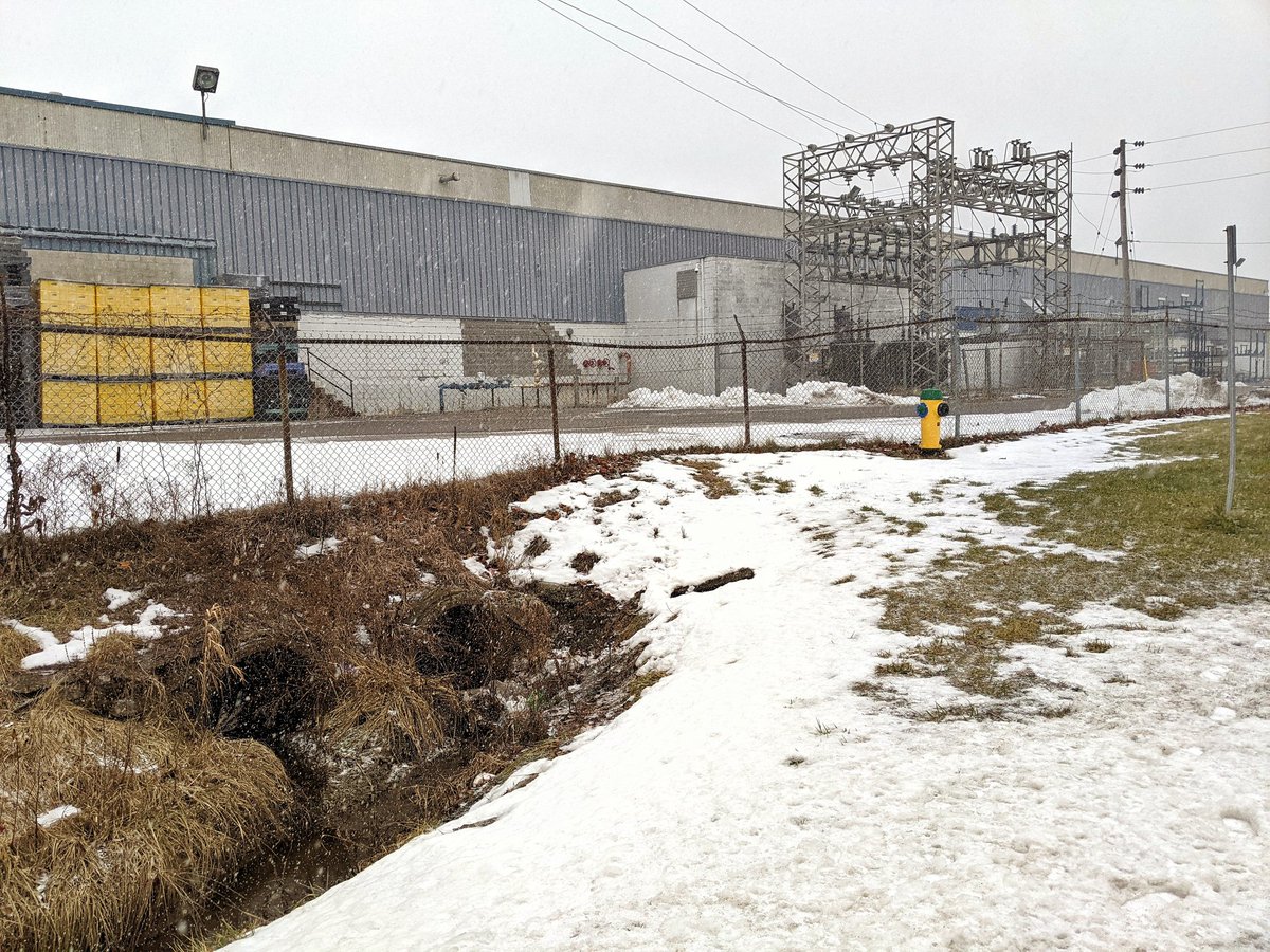
This ditch collects from various lots and roads east of the main creek. It even goes under an entire building before continuing east of Conestoga Boulevard.

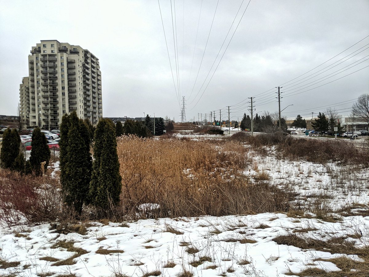
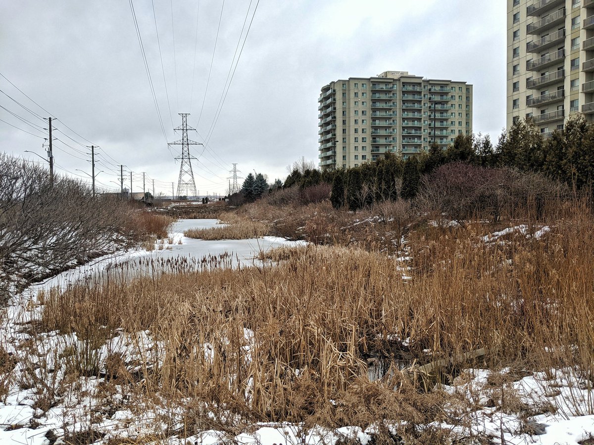
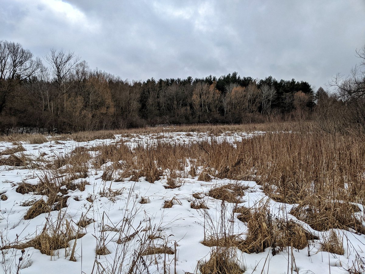
There’s a major wetland and some stormwater ponds east of Conestoga Boulevard and south of Bishop Street. Not sure if they are internally draining, but they are certainly part of the watershed.

One more major wetland area south of Dunbar and east of Hespeler. Appears to drain west into another wetland back in Dumphries Conservation Area, and presumably into the creek. That’s a wrap for today’s walk.


Date: January 17, 2021
Length: 11.5 km
Type: Riverine


wondering where the name Groff came from
LikeLike
I can only presume he owned a mill.
LikeLike