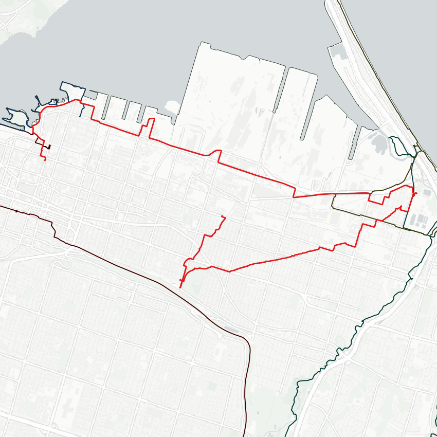
Good morning from the Hammer. Today I will be exploring industrial Hamilton. I’ll start north of Bayfront, and head east along the industrial piers. Let’s go.
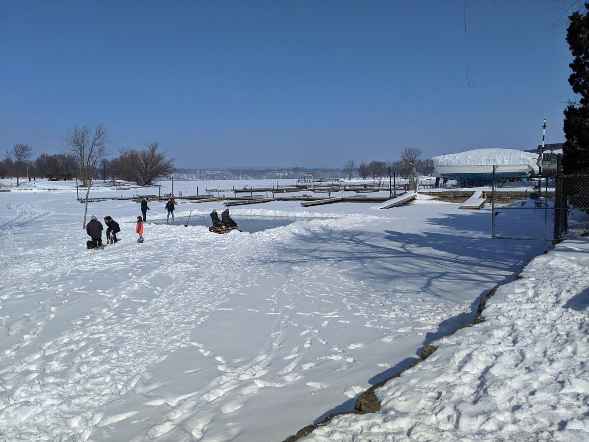
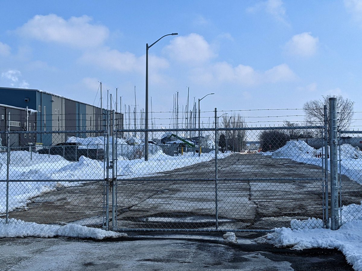
Not spending a ton of time west of John Street, lots of ground to cover today and I will save it for another time. I will say there is a lot of marina activity restricting access to the waterfront, and it does look to be an area in transition.


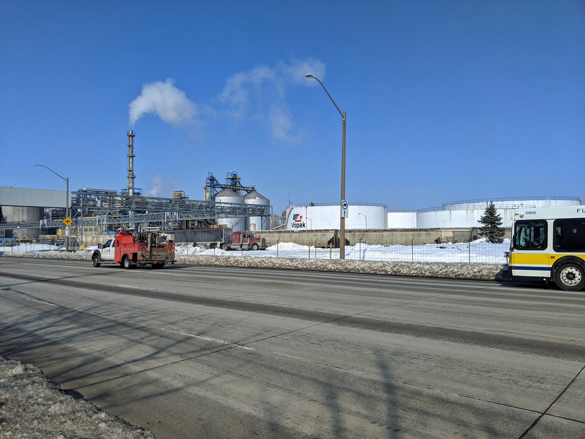
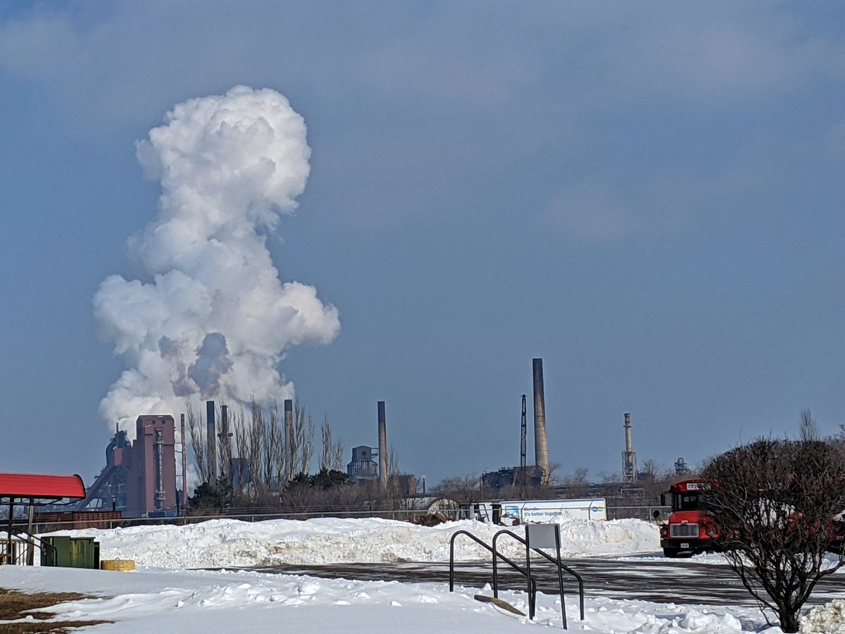
Around the north end, where some houses and a brewery are rooted, and into Industrial Sectors A through H. Some names are familiar, others not. Not really a place to take a recreational stroll, but I’m a weirdo, and the wind is blowing the right way today.


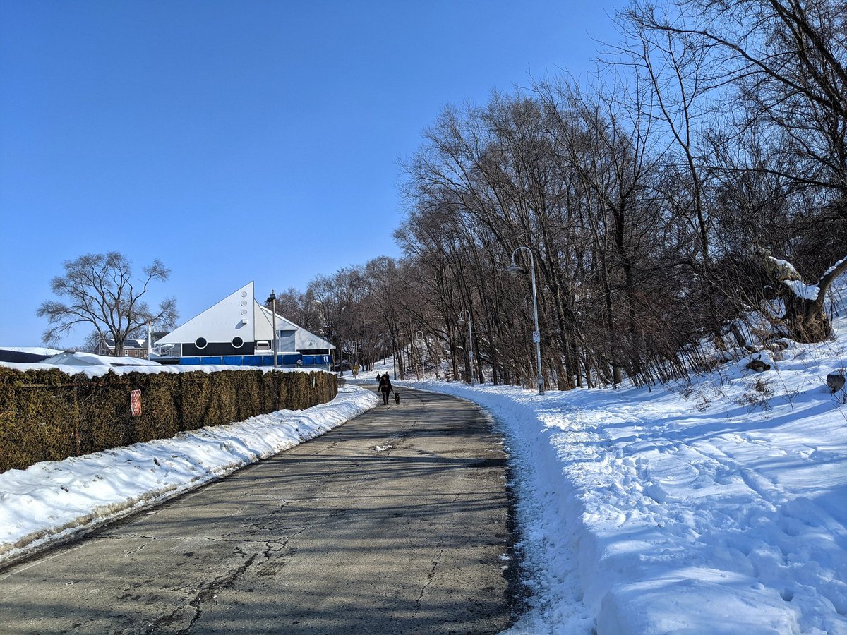
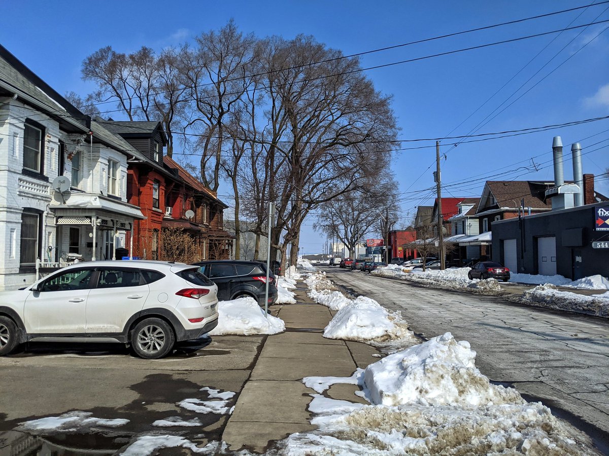
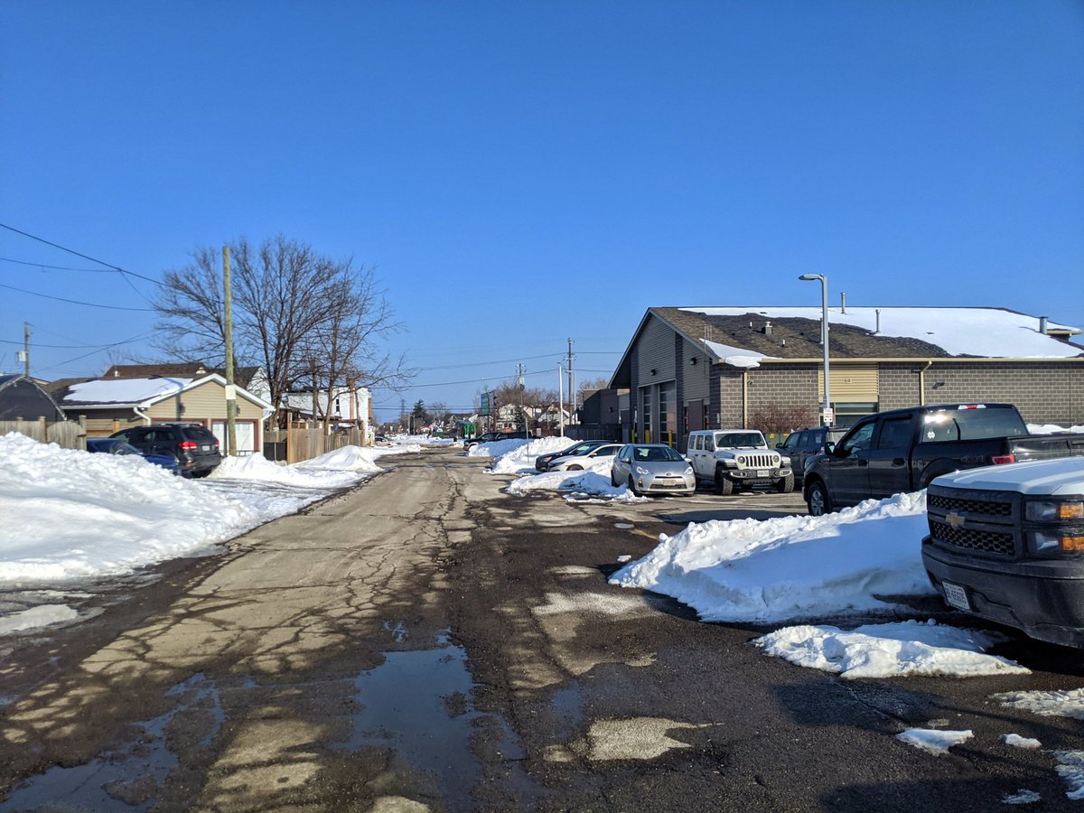
Thought that was the end of houses. There’s a whack of them in the Keith neighbourhood, north of Burlington Street, the main east-west arterial for the harbour. Thought I’d see more, but there’s some streets that aren’t public access.
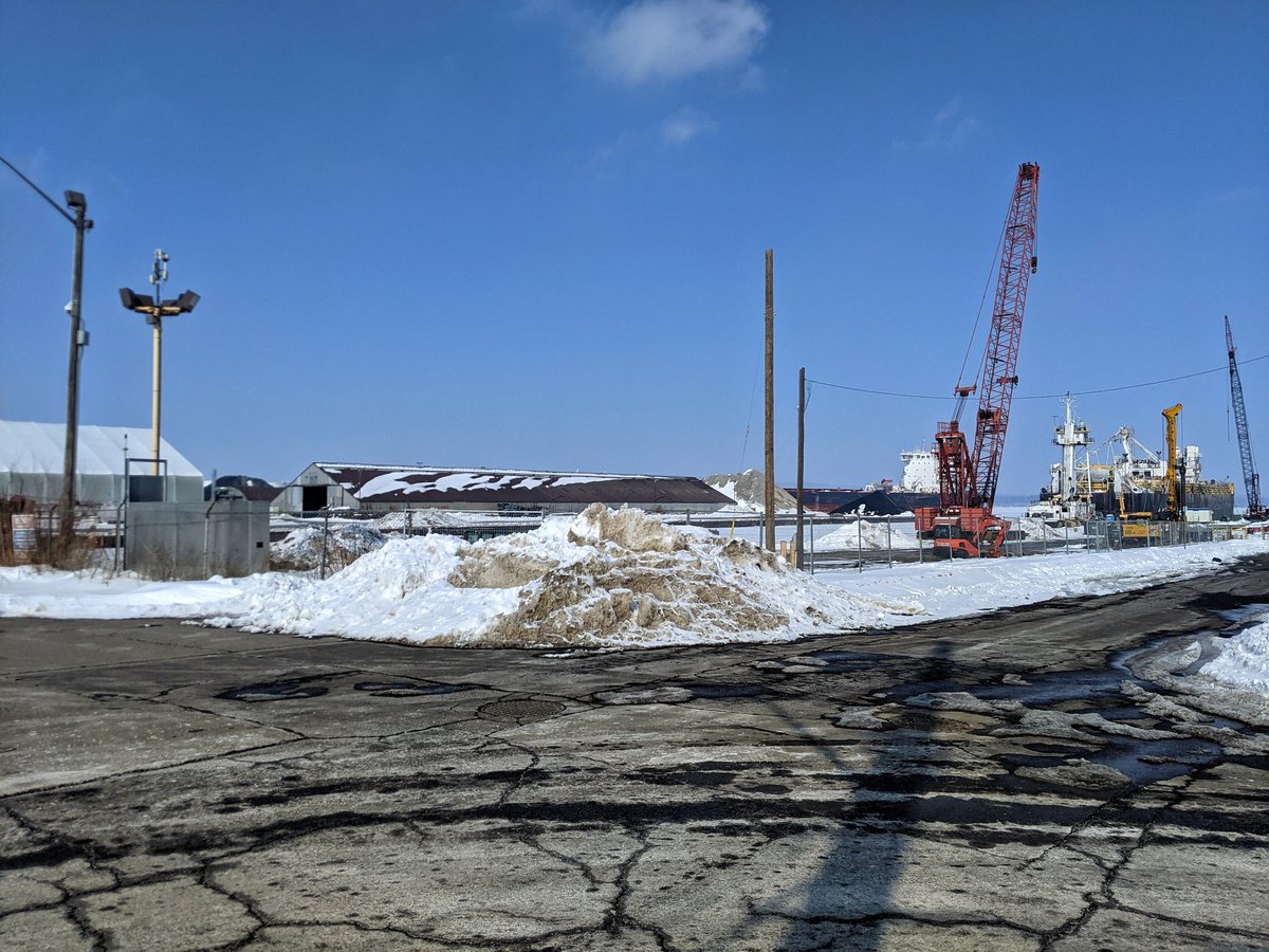

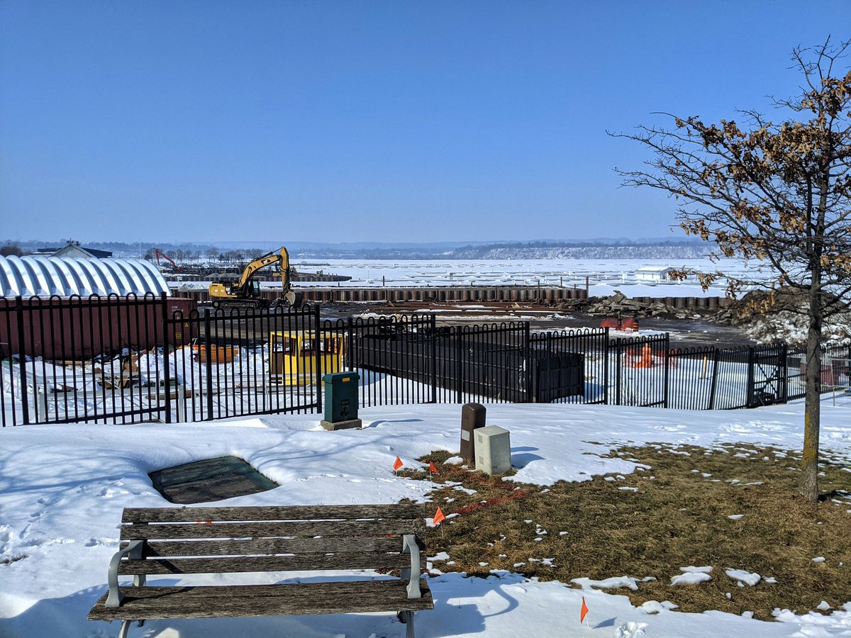
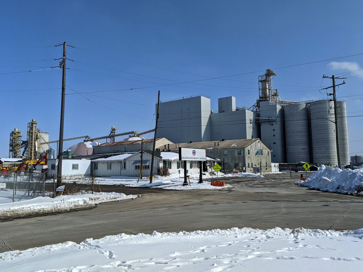
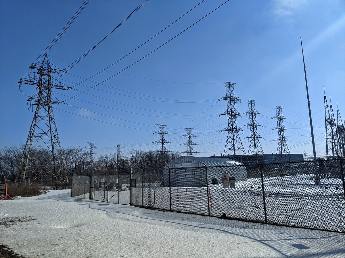
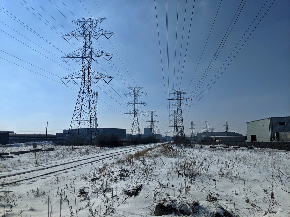
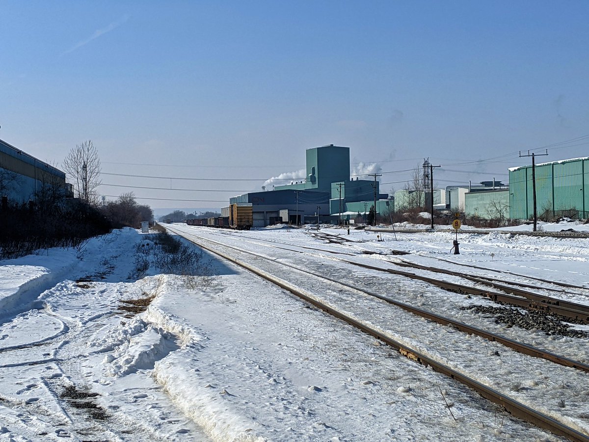
It’s a lot of industry, but not my main focus. Hydro corridors. Elevated expressways. Water inlets. Railways. These are the metroscape nuggets I’m looking for.

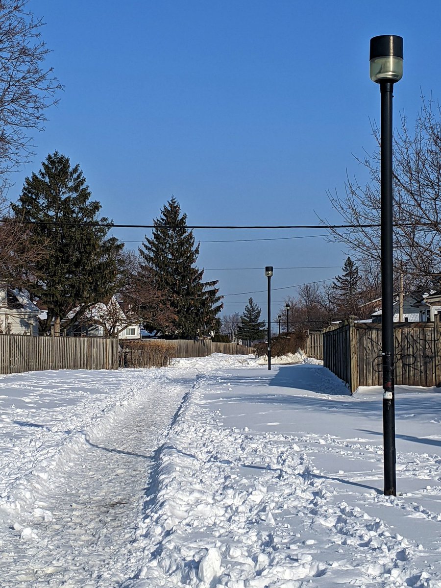
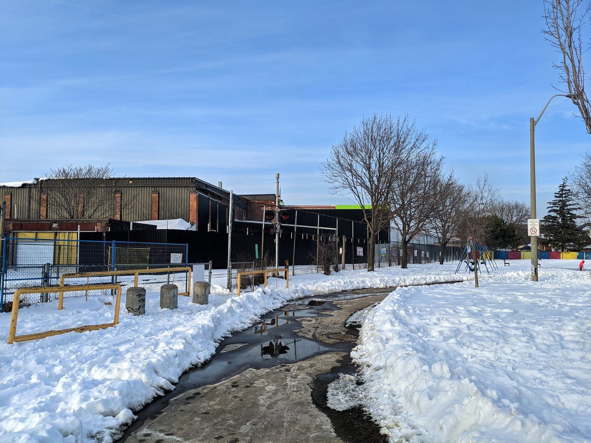
A lack of sidewalk plowing, combined with high speed roads, is not a good mix. Some unplanned detours.

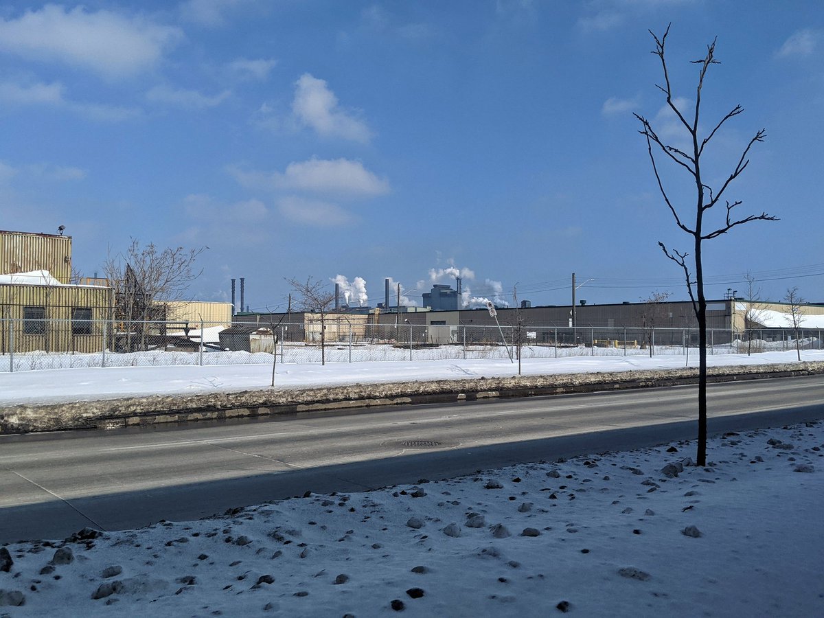

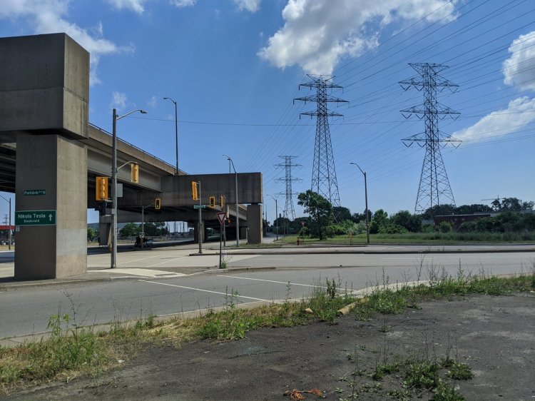
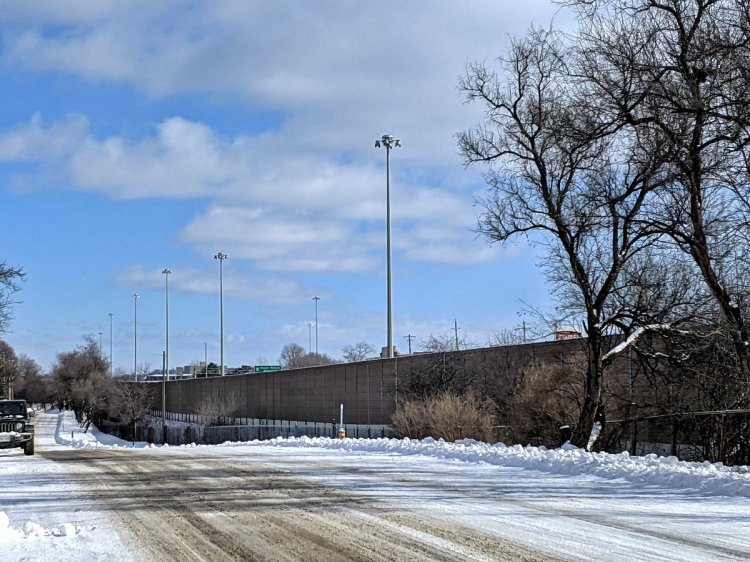
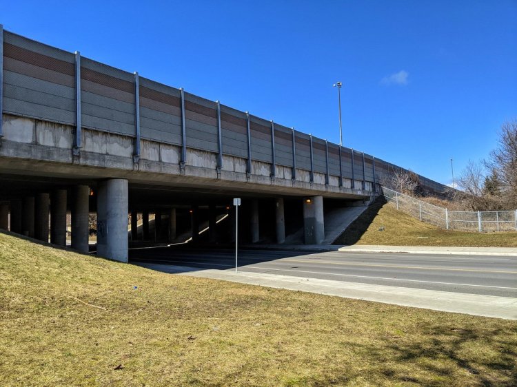
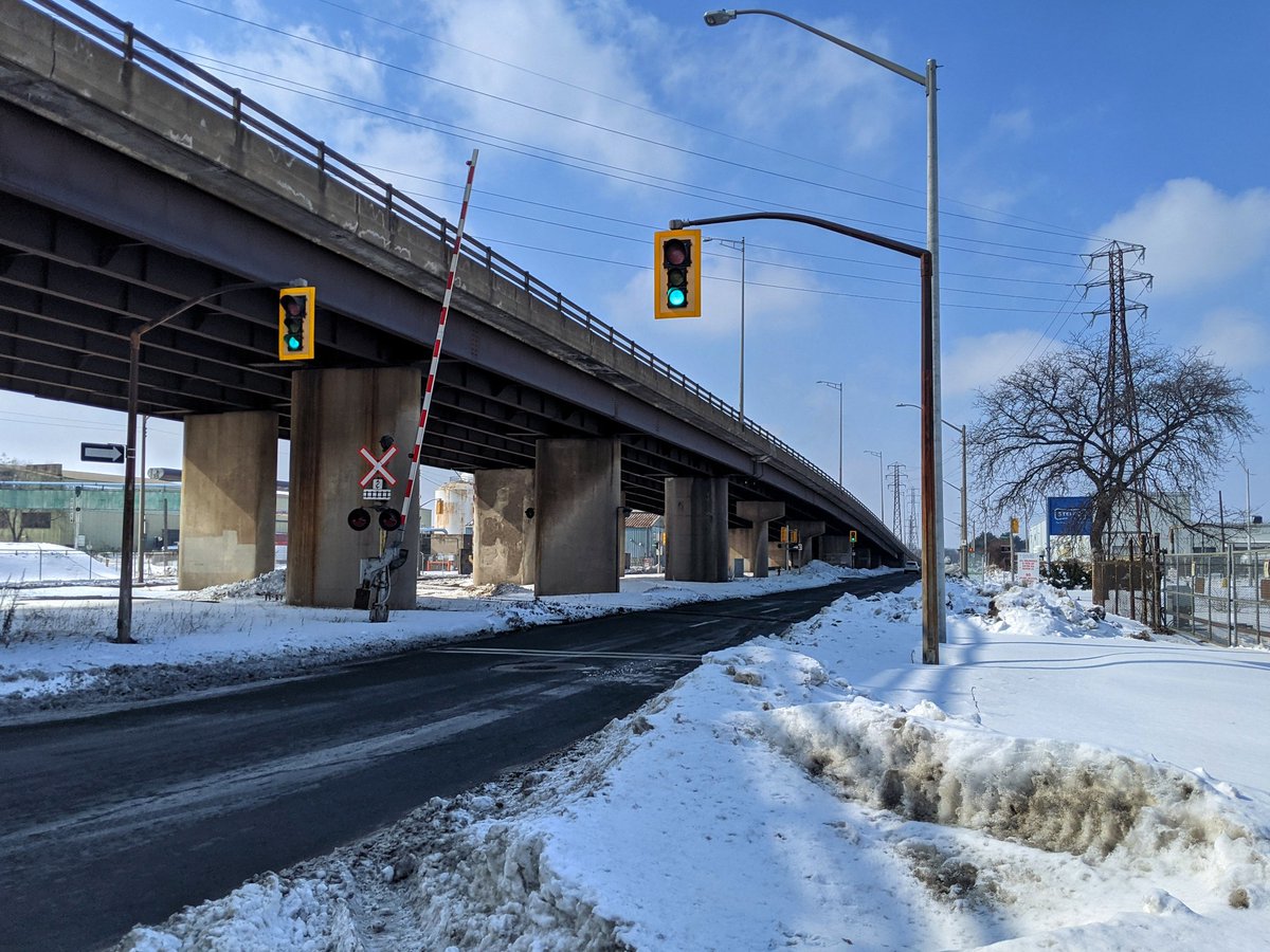
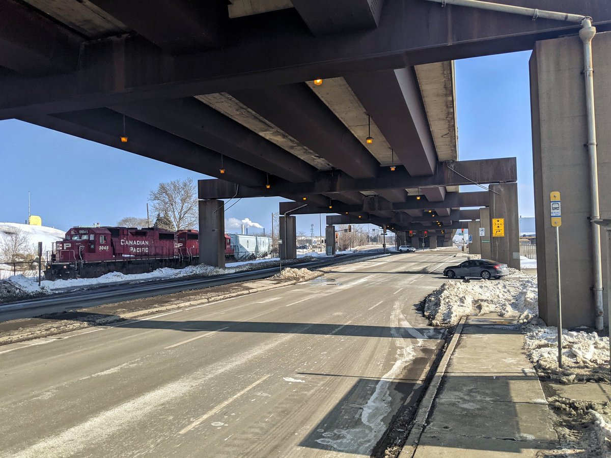
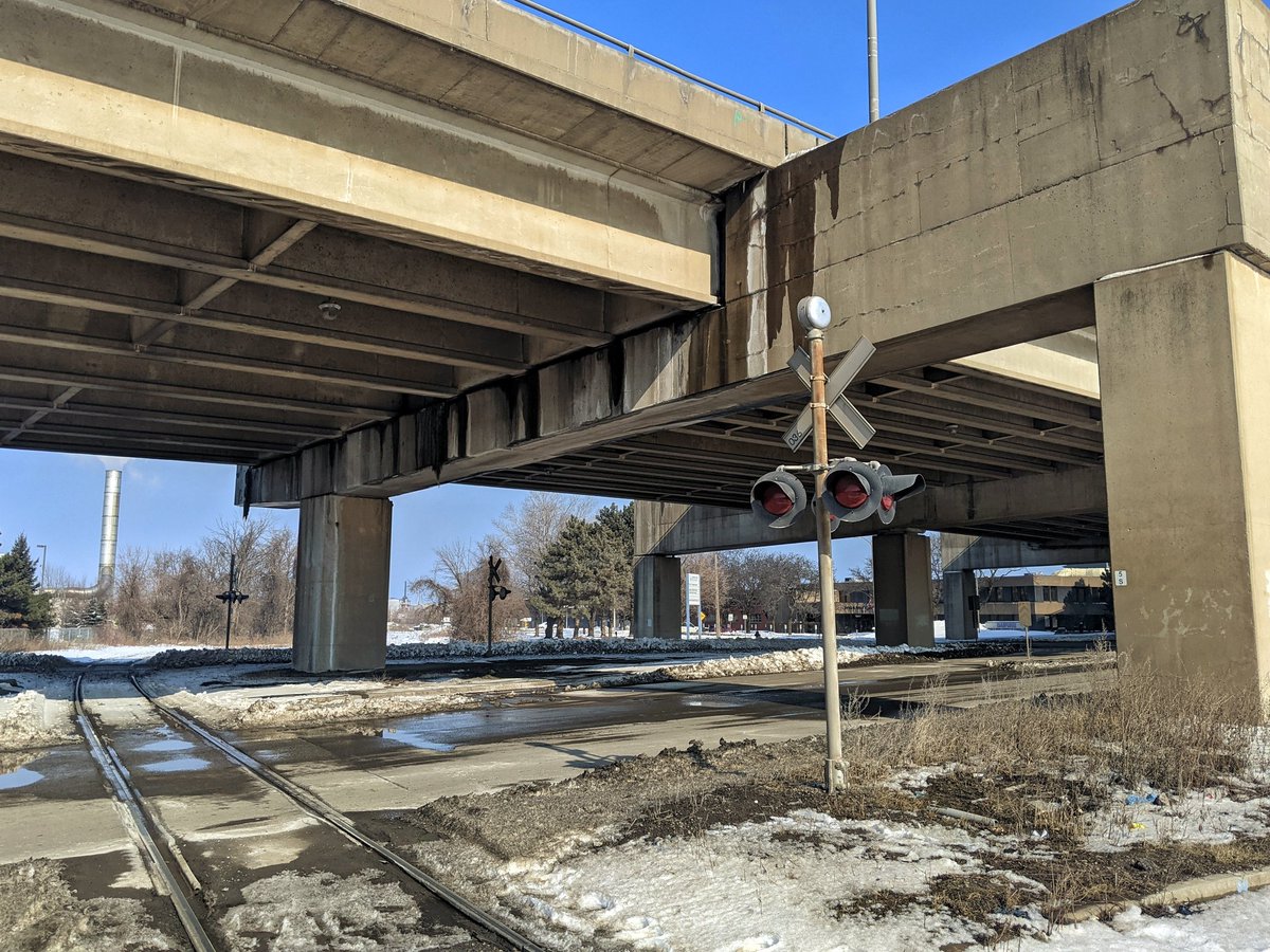
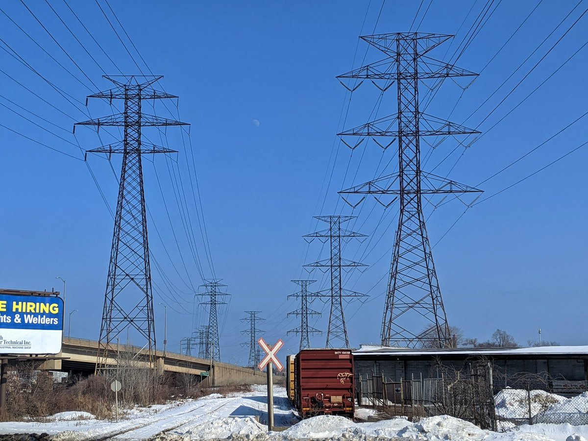
The elevated expressway (named after the genius who routed electricity from Niagara Falls through here to Toronto) is prominent. But the railways still have a very strong presence. It’s Sunday in the winter during a pandemic, and things are chugging along here.


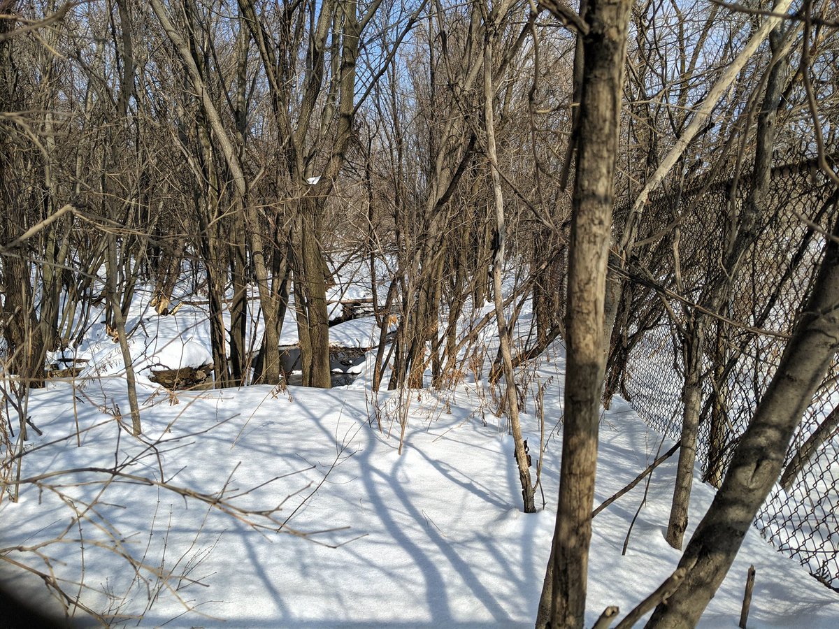
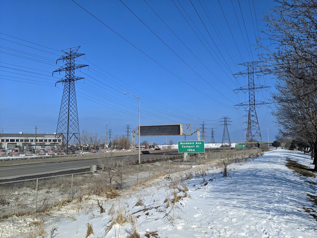
Out of the industrial sectors to the Beach Hydro Corridor, which I followed last summer. North of the expressway is a road that turned out was sold by the city to a private holder, with no public easement. Luckily, the security guard let me through. Now we’re south of that.
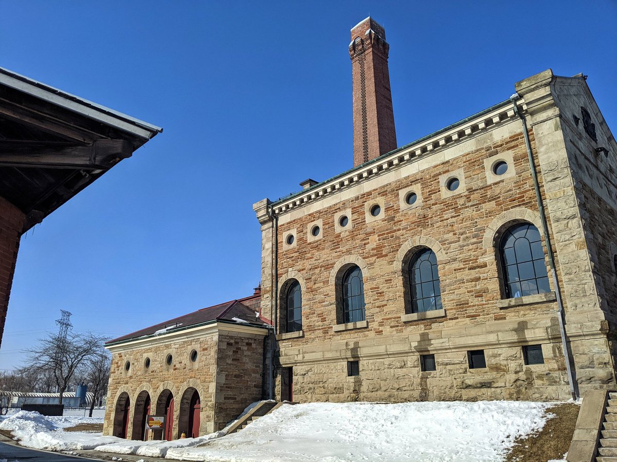
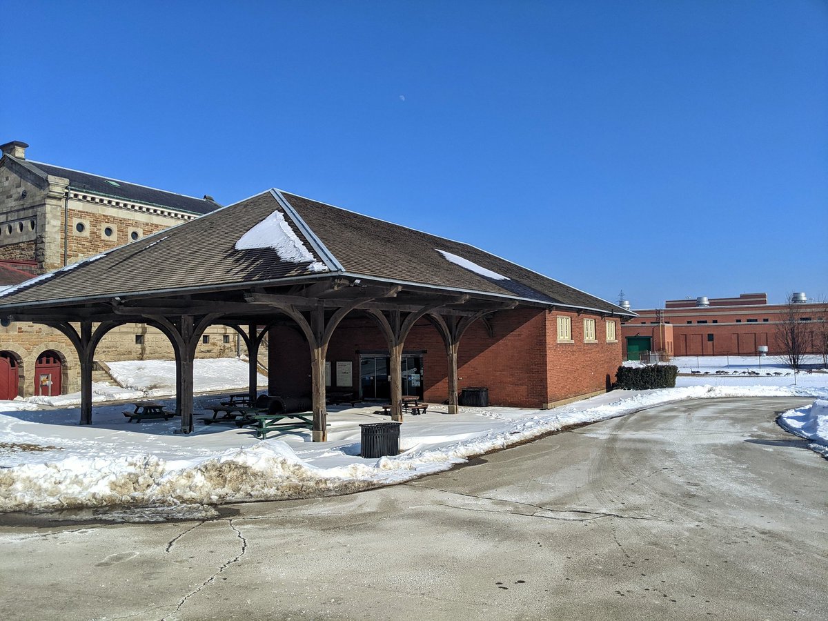
Okay, switching gears. This is the Hamilton Museum of Steam and Technology, which is a mid 19th century waterworks pumping station, supplying the city with water from Lake Ontario. It pumped along a pipeline going southwest from here, and I’ll follow the trail along that pipe.


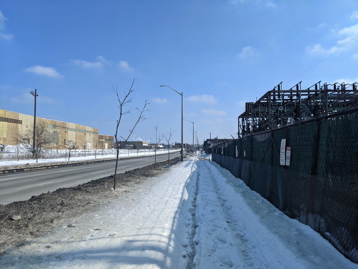
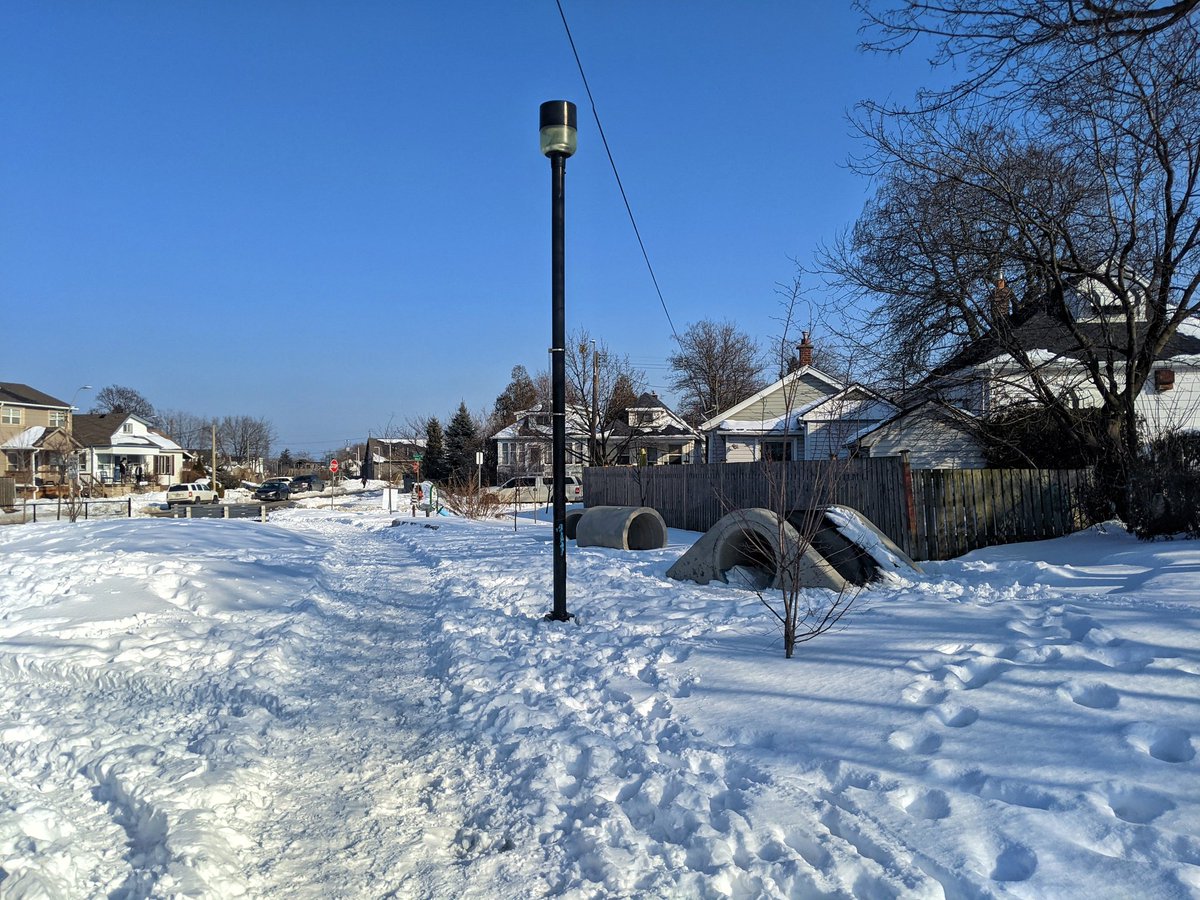
Well, things are off to a rough start. There’s no link from the museum, and there’s a couple segments with no trail. You wouldn’t think of it being anything if you were just a passerby.

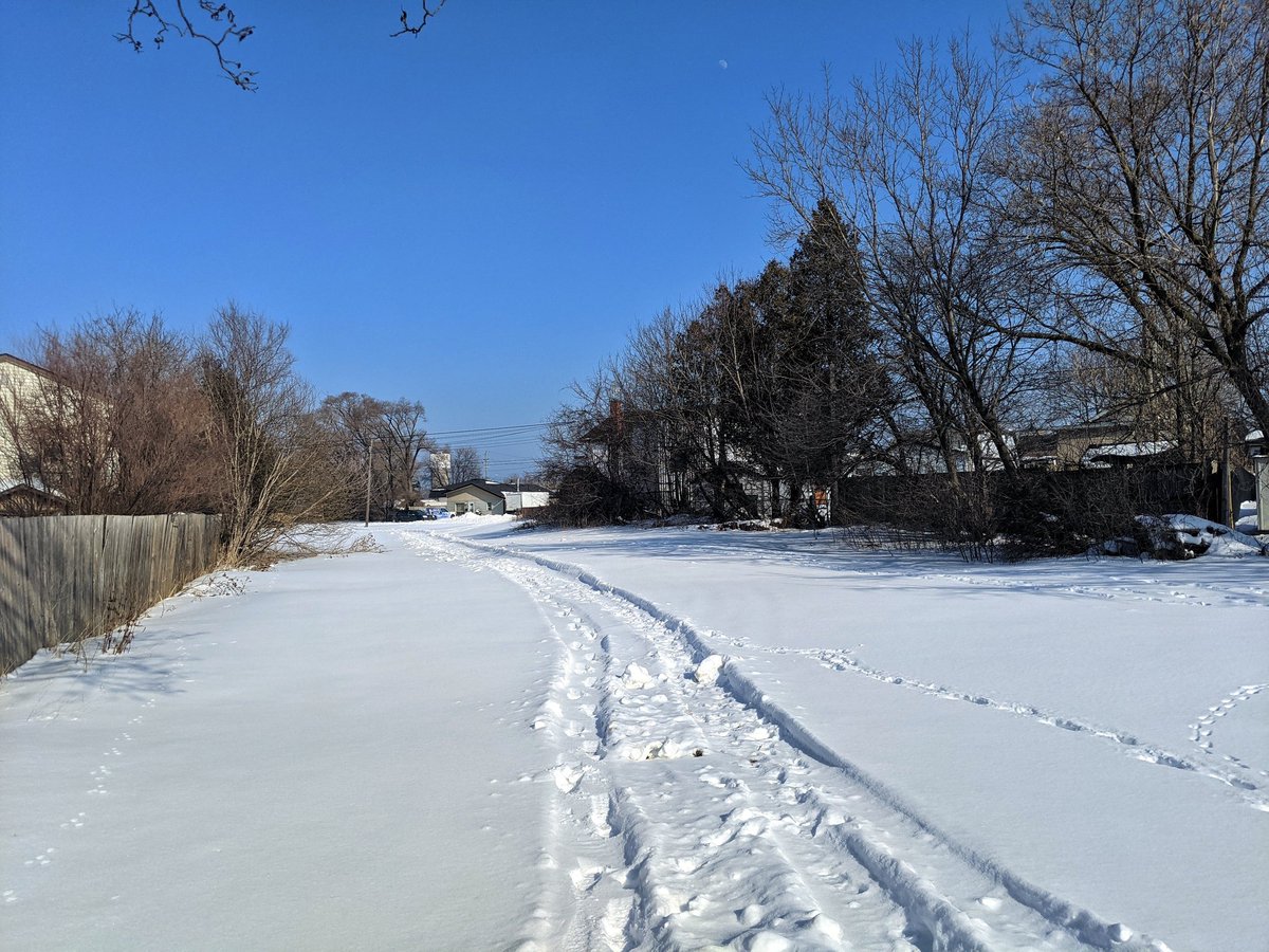
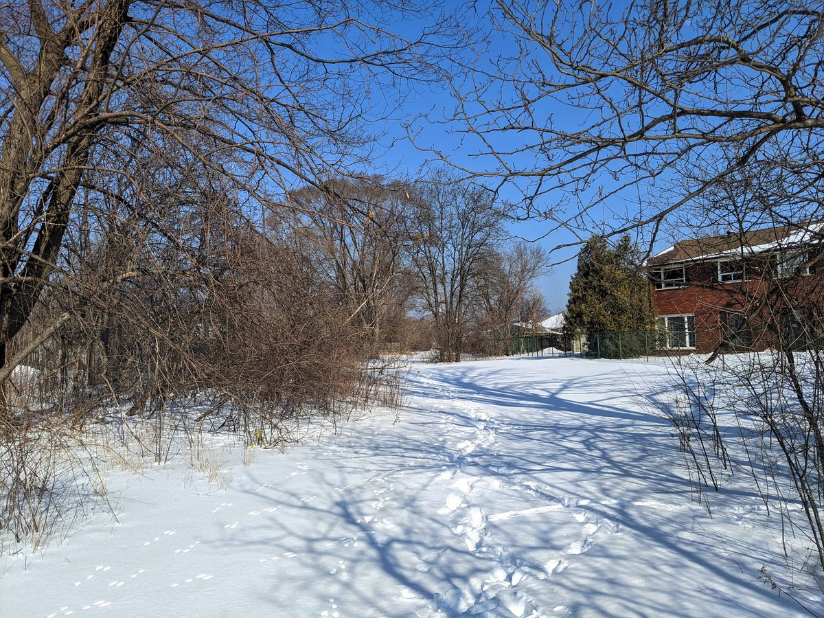
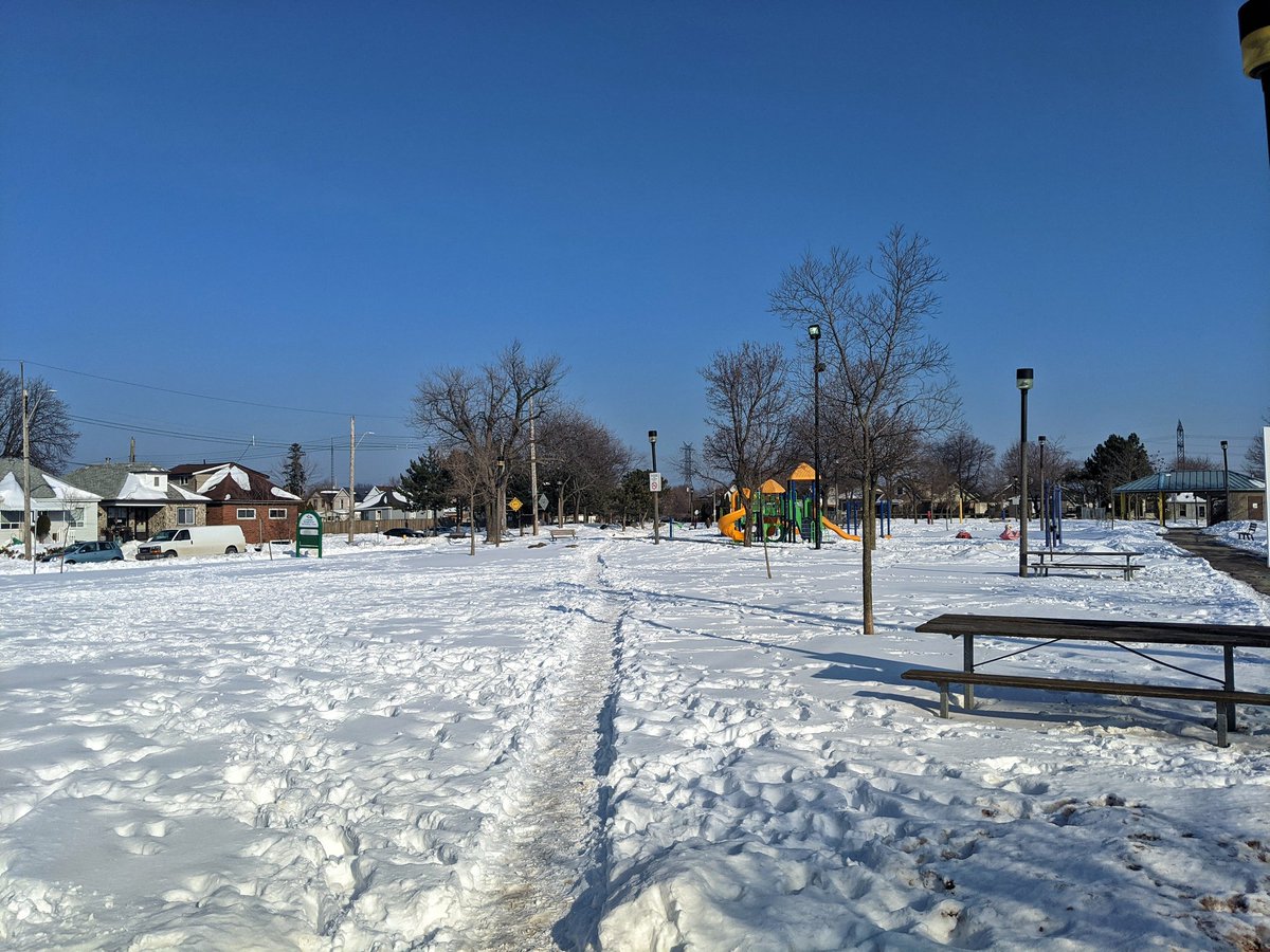
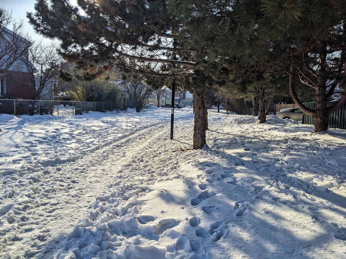
Across the mainline and through a park. Finally, south of Barton and west of a hydro corridor, there’s a proper trail and linear parkland. This is what I had expected.


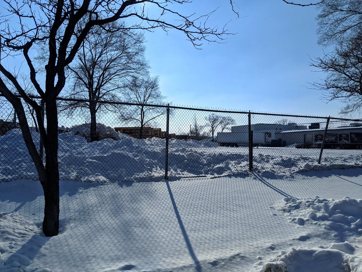
Big park. Road connection. Parking lot. Little park. It’s not continuous, but it’s pretty good.

Things are consistent from Roxborough to Main. That marks the end of the trail.


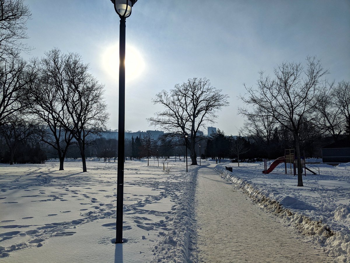
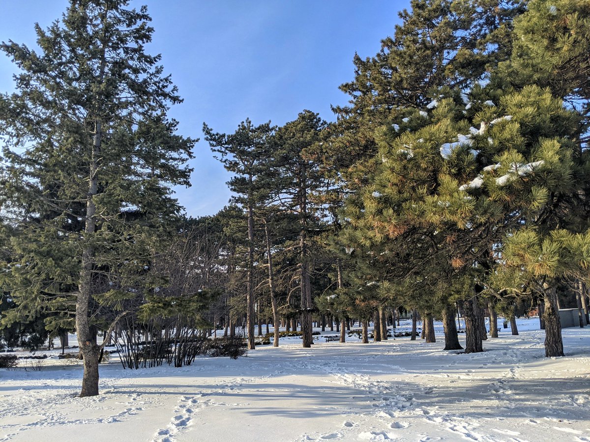
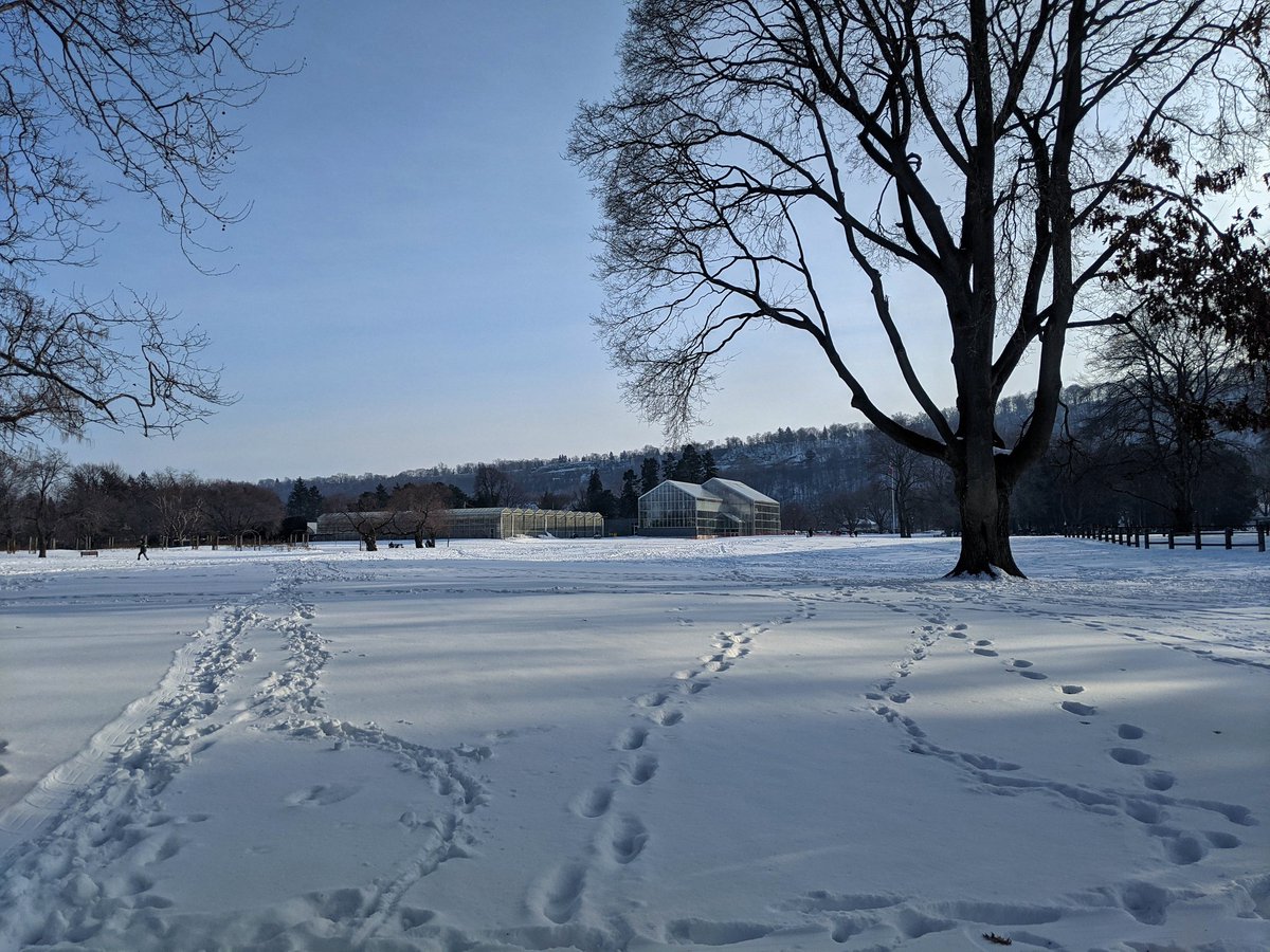
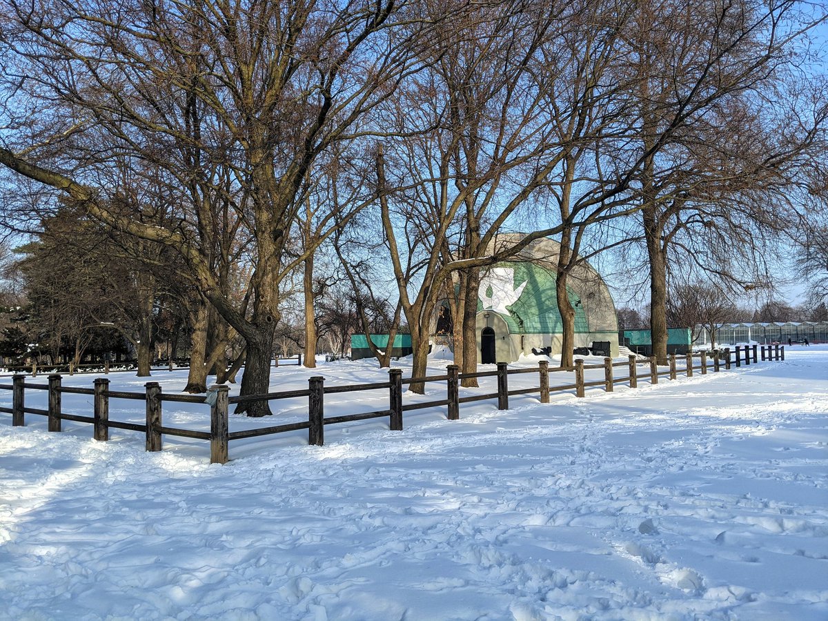
Time to switch gears again. First, I am cutting through Gage Park, and boy, what a jewel.
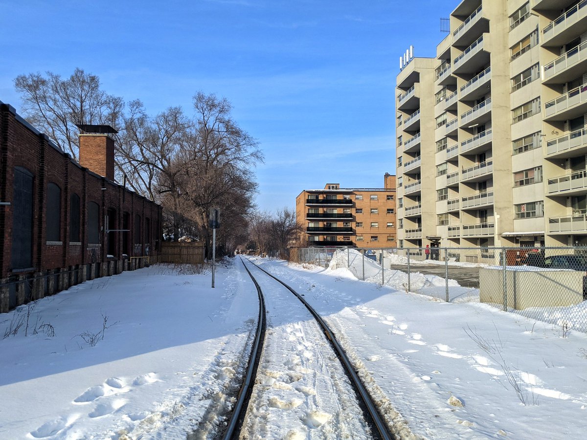
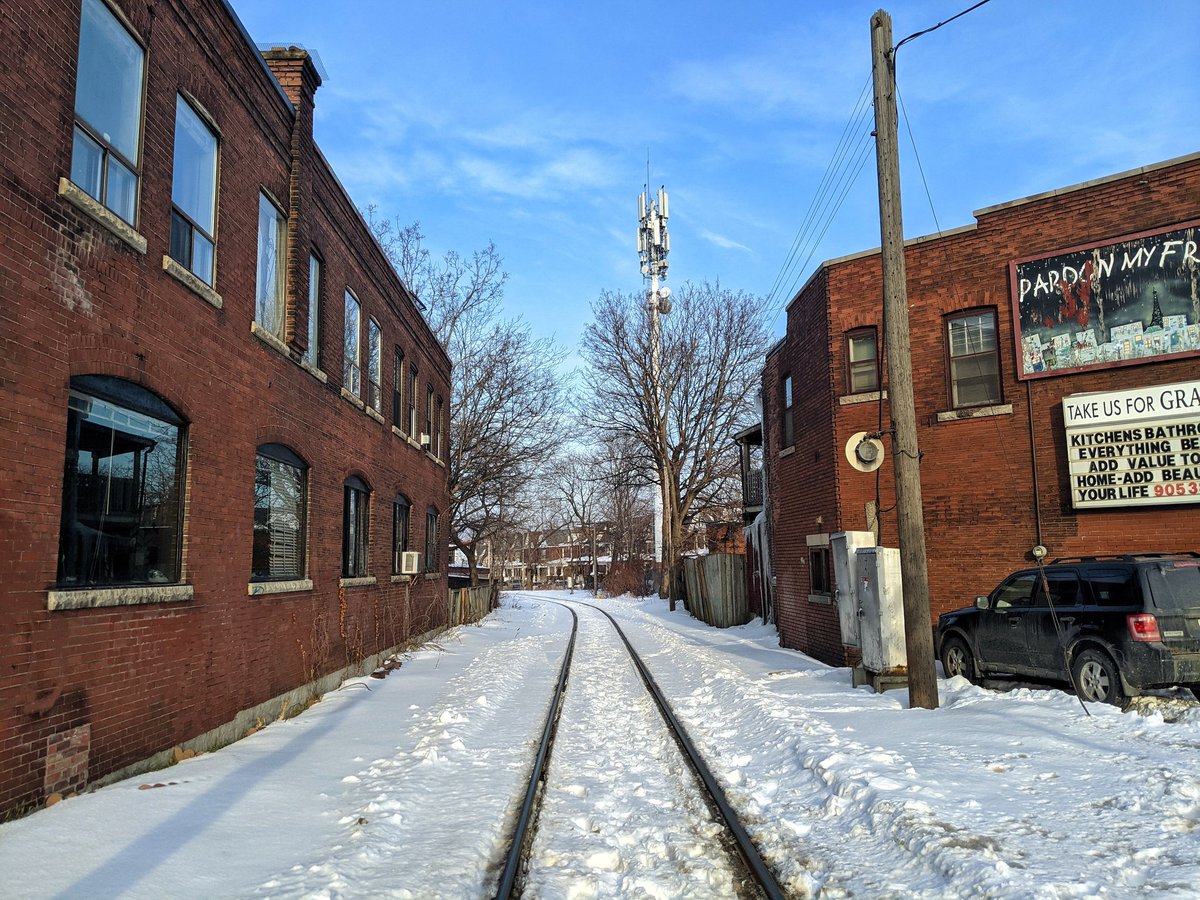
I’ve come to the shadow of the mountain to see the rail connection between Canadian Pacific’s mainline and the industrial harbour. This cuts right through older parts of the city, so I figured it was worth a look.

One last glimpse north at Barton. I had planned to go further, but I’m losing light and energy. That’s a wrap for today’s walk.

Date: February 21, 2021
Length: 20.8 km
Type: Shoreline
Related Walks

Shoreline continued to the west
West Harbour / South Cootes
Hydro corridors to the north
Beach Hydro