Good morning from southwest Cambridge. Today I will be following Devil’s Creek and Mill Creek, with a section of the Grand in-between. Starting at a park southeast of Barrie’s Lake, where a series of ponds mark the lower headwaters area. Let’s go.
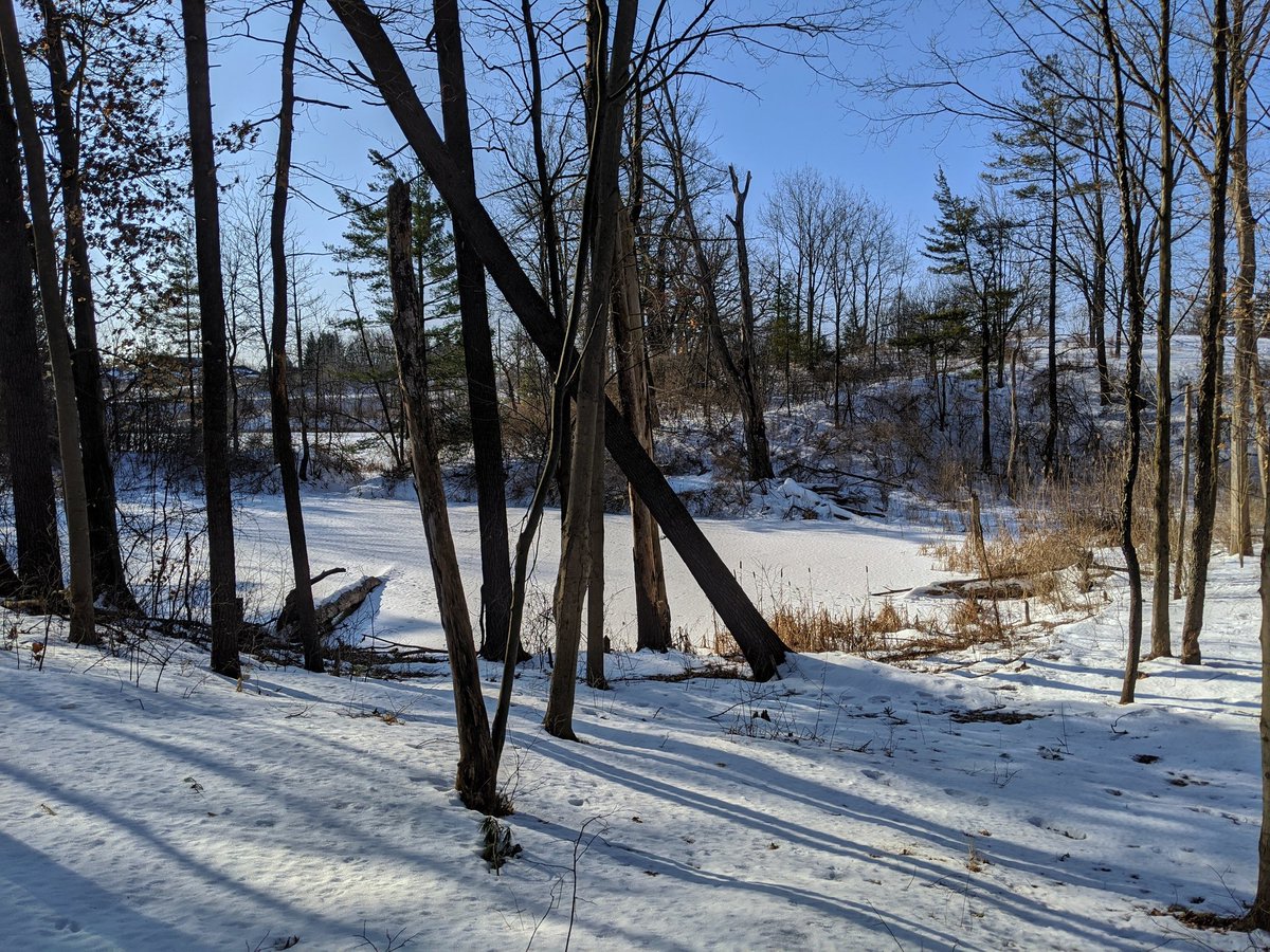
This is Gilholm Marsh, which is bisected by Cedar Creek Road. Seems to be a collection point for runoff before a proper watercourse starts running northeast.
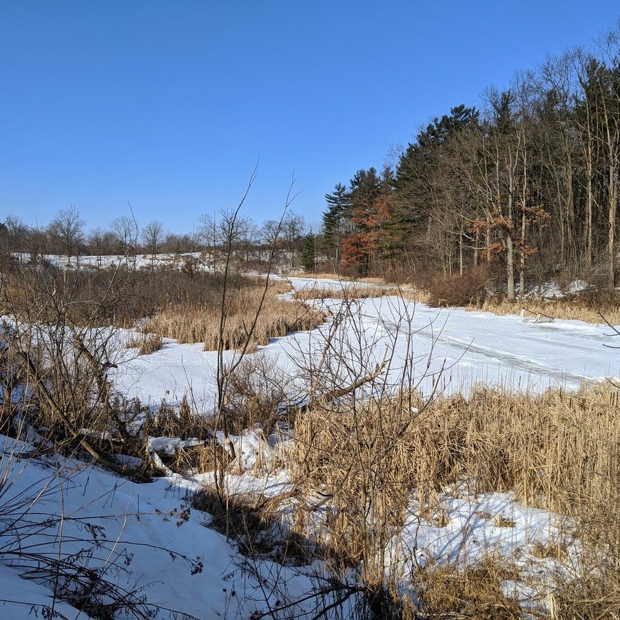

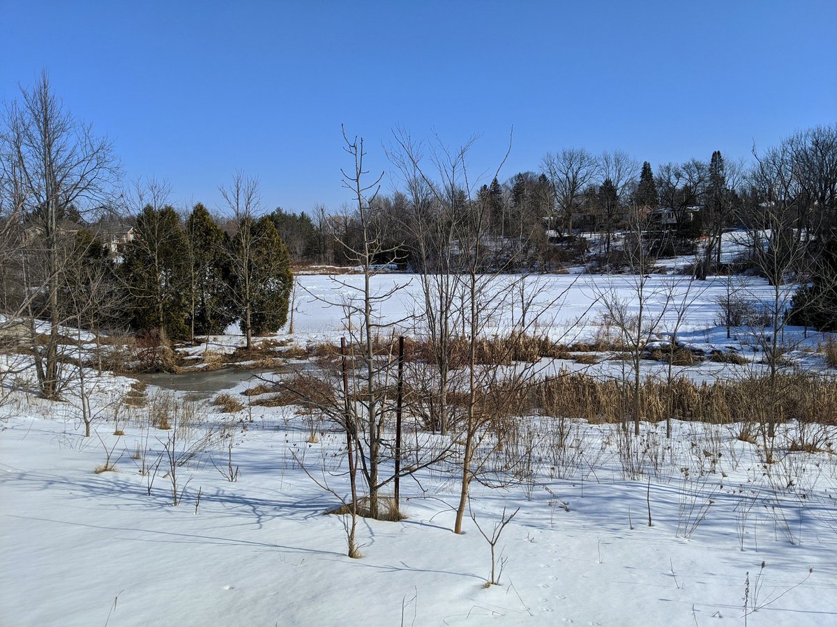
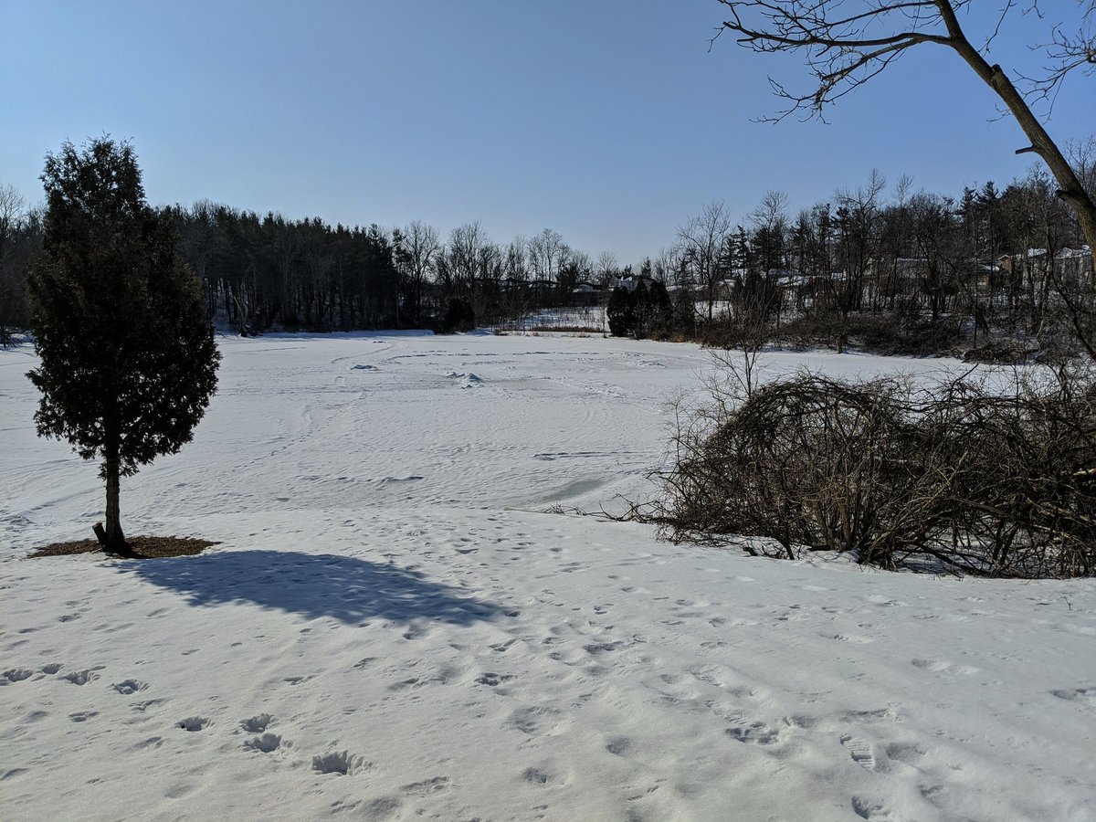
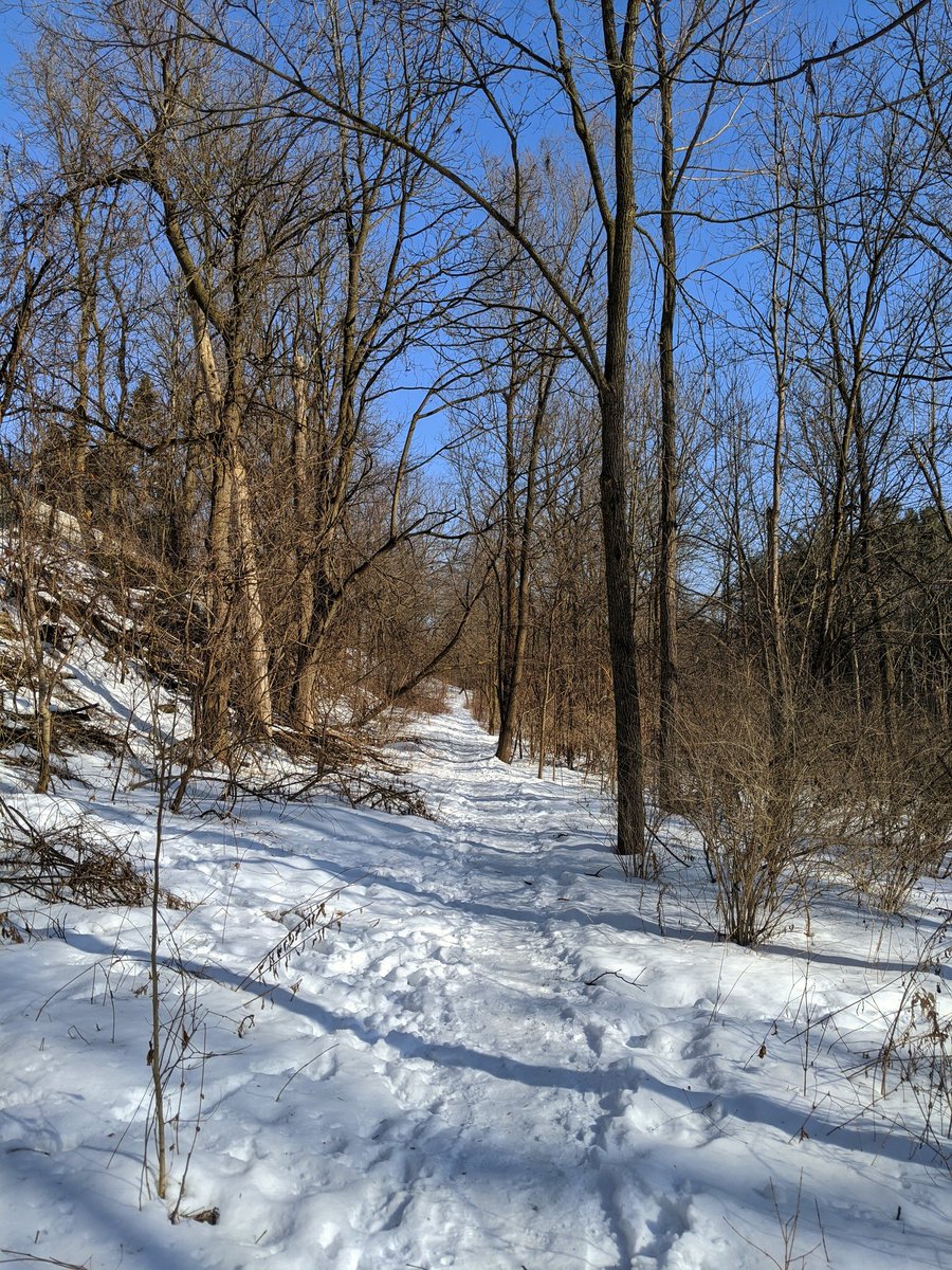
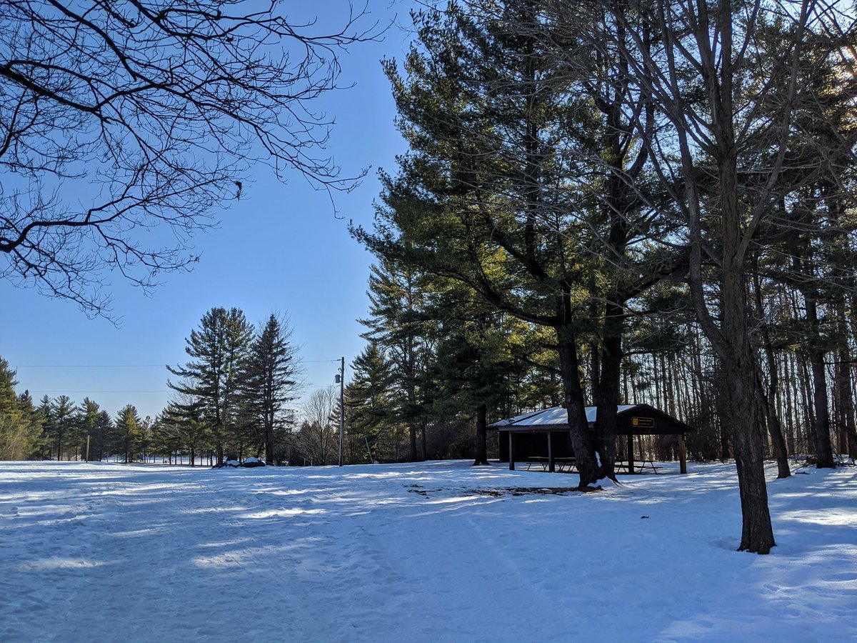
Another pond, this one is definitely a stormwater management facility. It has an outlet that marks the start of the true creek. There’s a formal trail alongside.
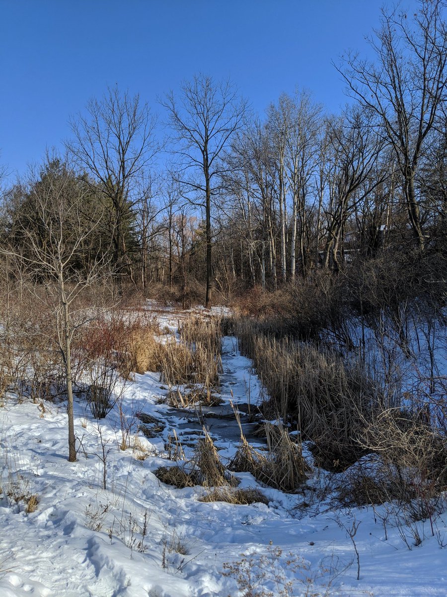

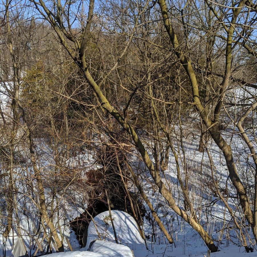
Let me rephrase, it’s a well trodden path rather than a formal trail. Anyway, Devil’s Creek appears at Salisbury, and it’s flowing now. Unfortunately there’s no path north of here.
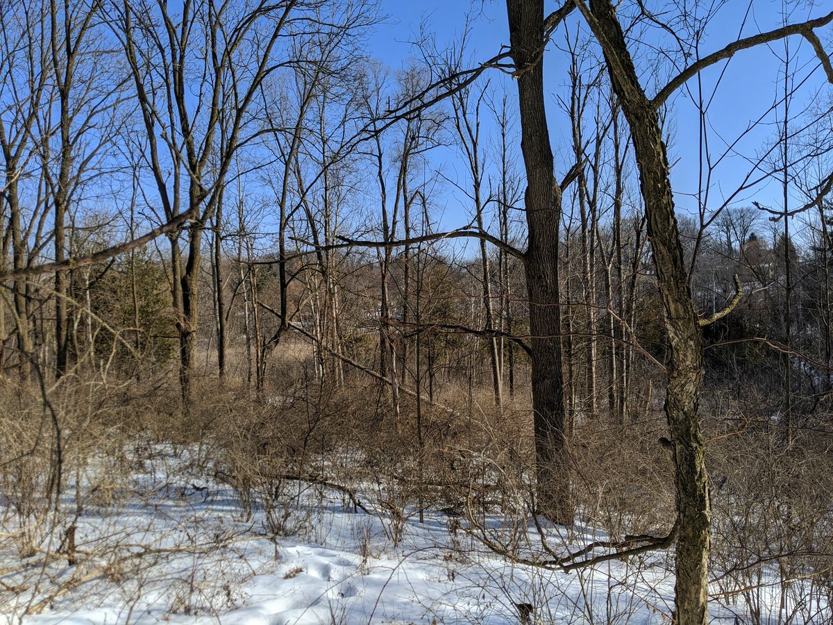

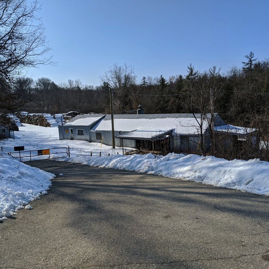
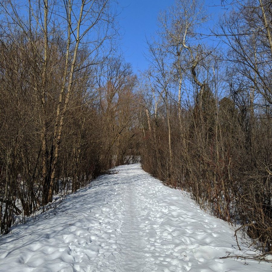
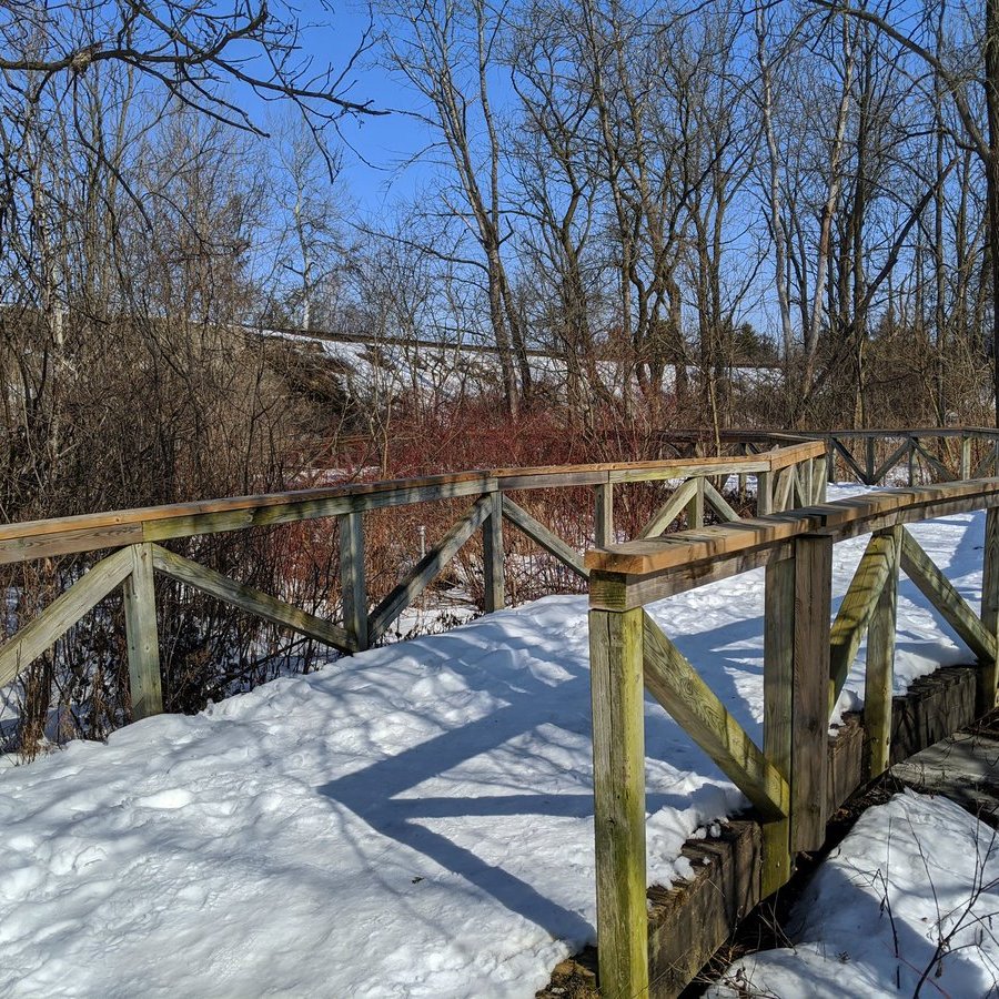
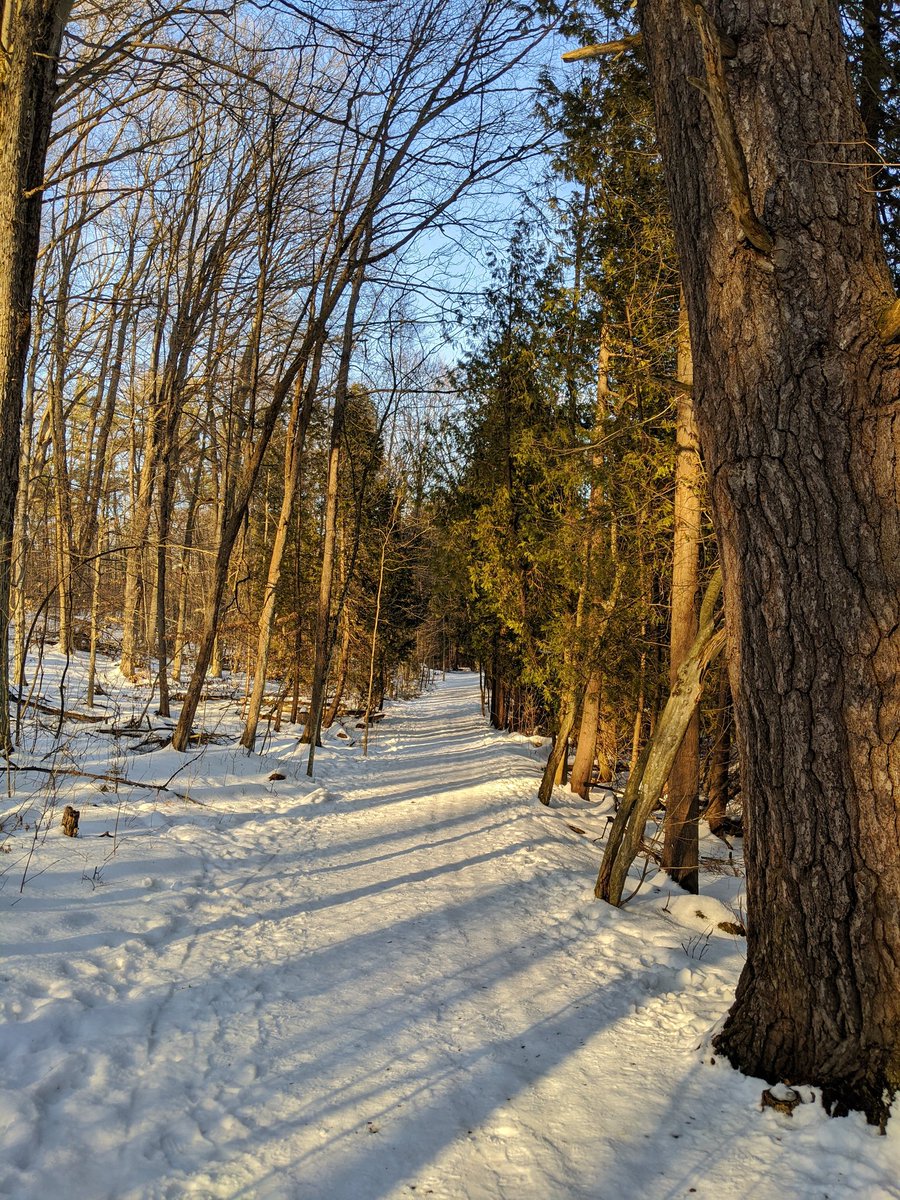
A private commercial operation takes up the ravine between Salisbury and Blenheim. Good news is that a real formal trail pops up north of Blenheim, and will take you all the way to the confluence.

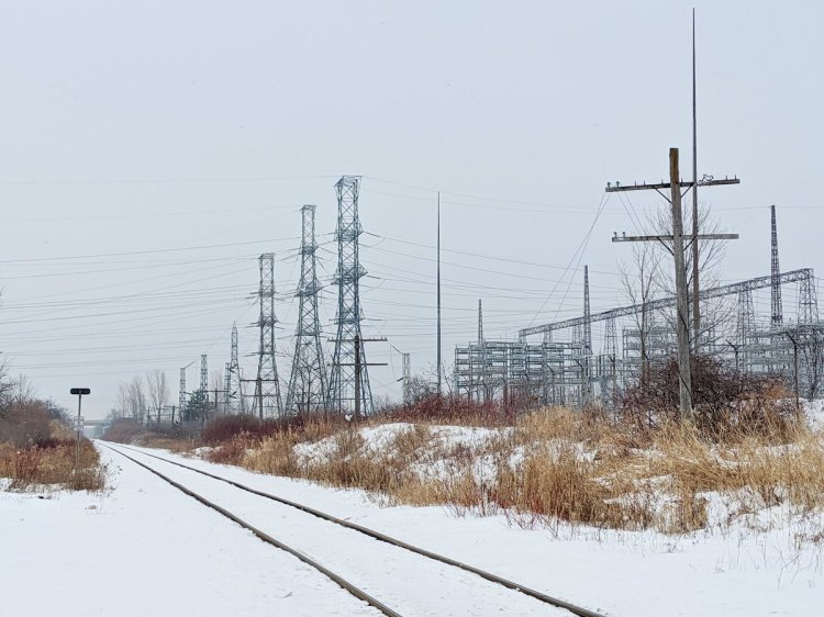
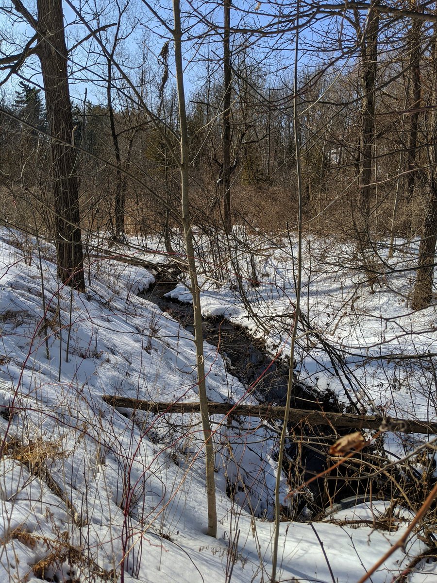
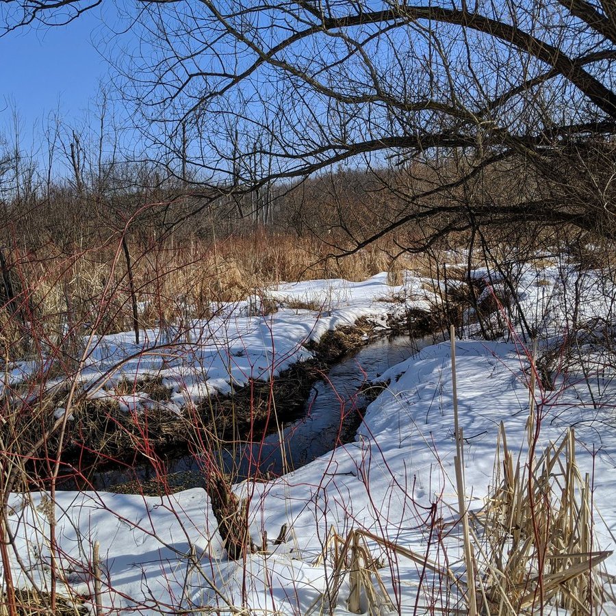
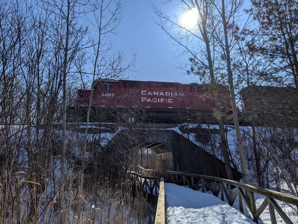
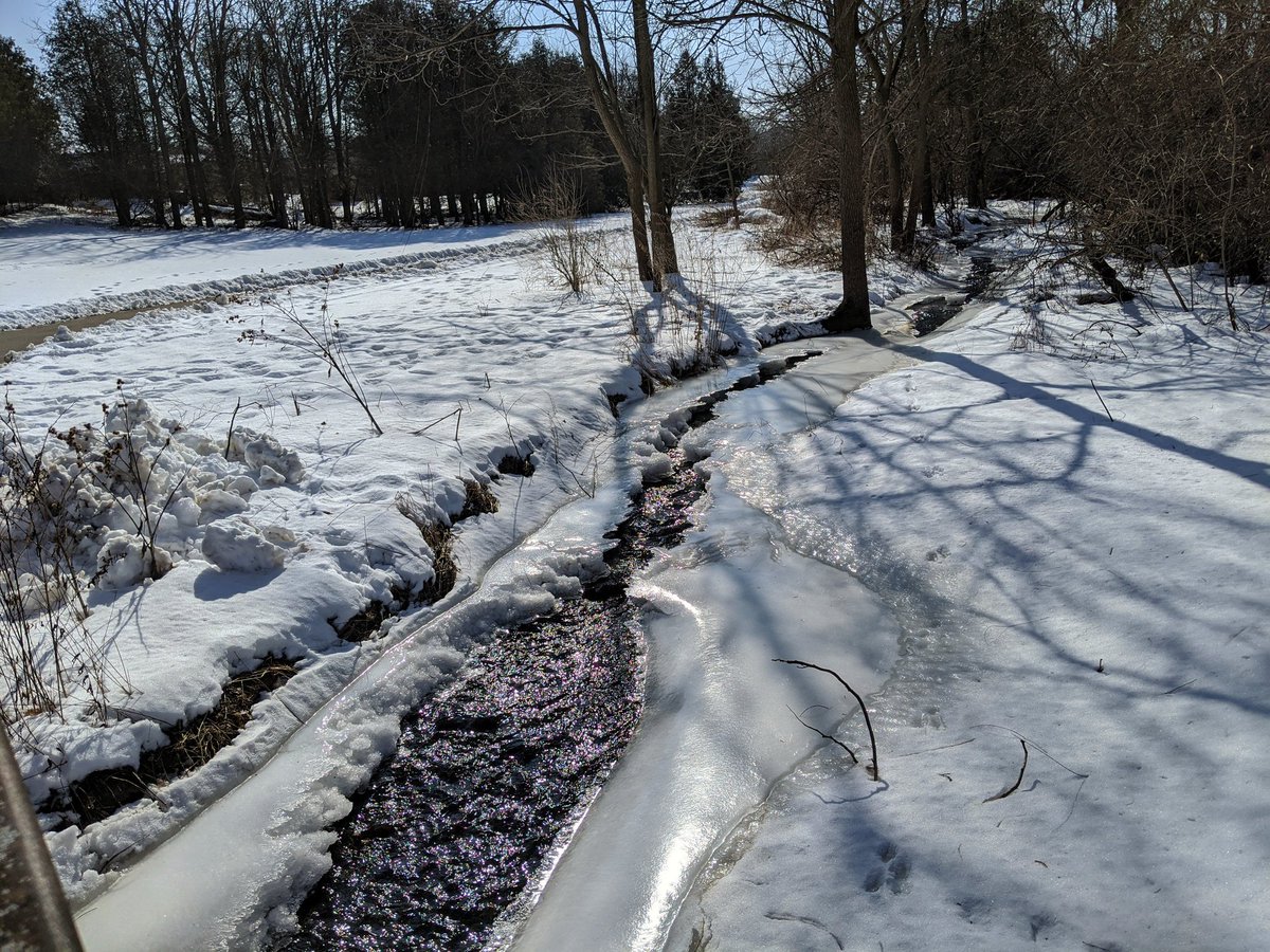
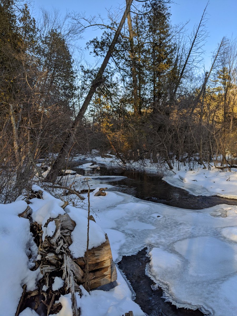
The trail crosses the creek, and it shoots into wetlands to the east while the trail stays due north. Eventually they come back together to get under the CP mainline.
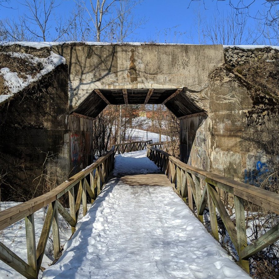
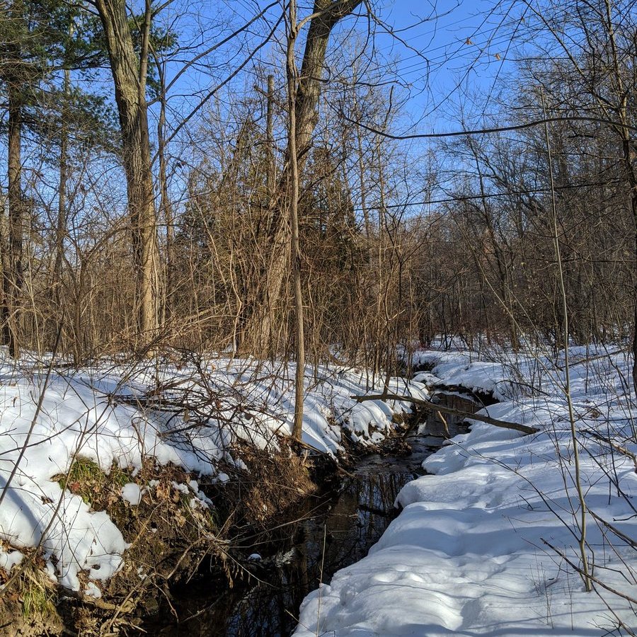
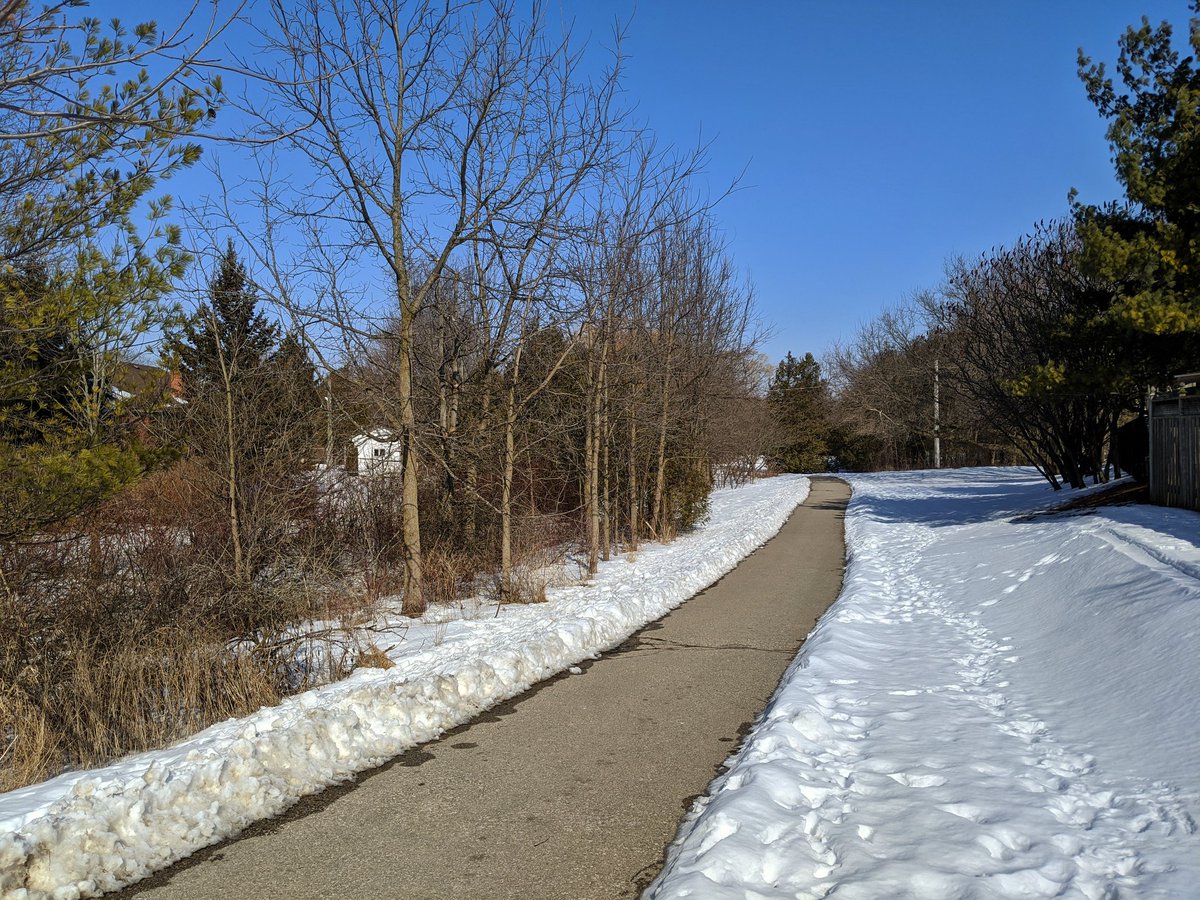
Under the tracks and back into the suburbs. The streamflow is pretty strong now, considering it’s winter.
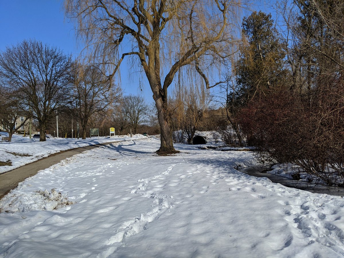
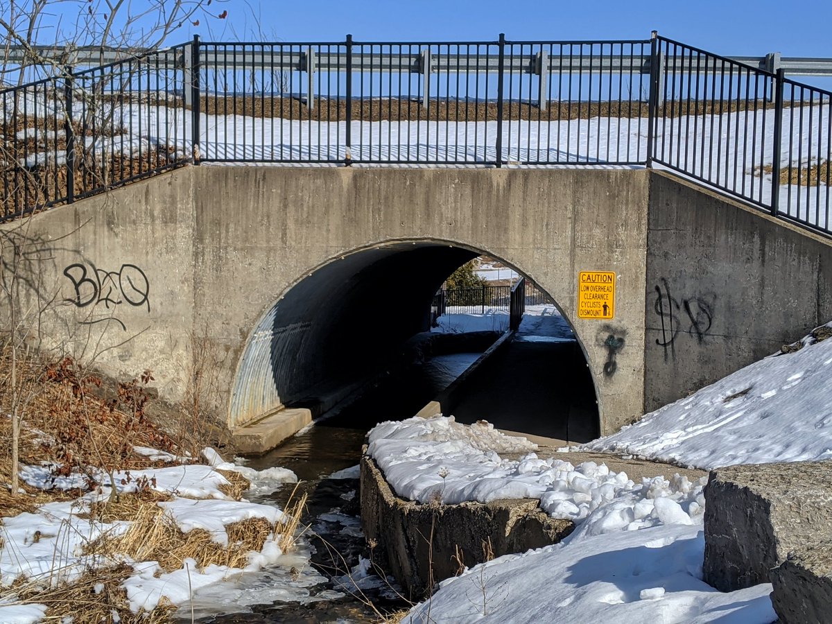
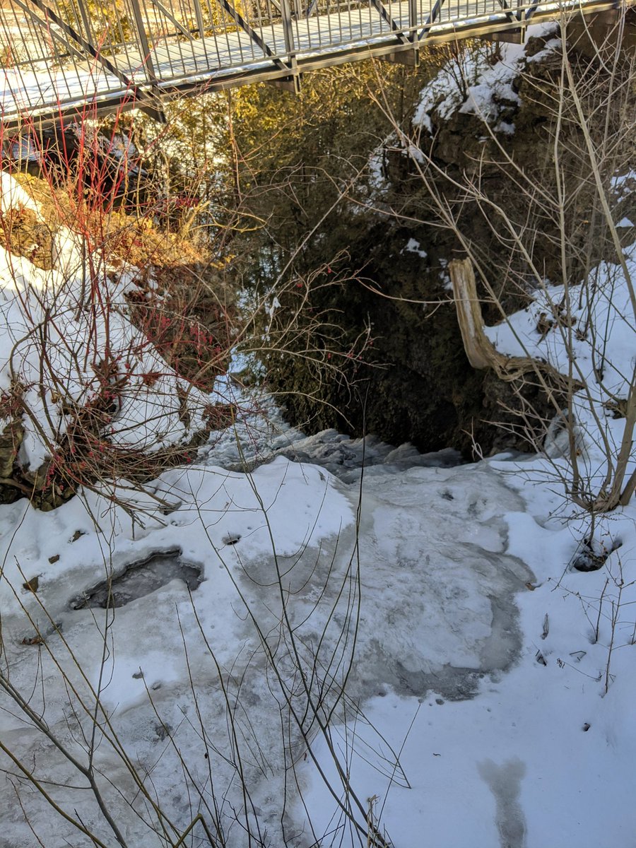
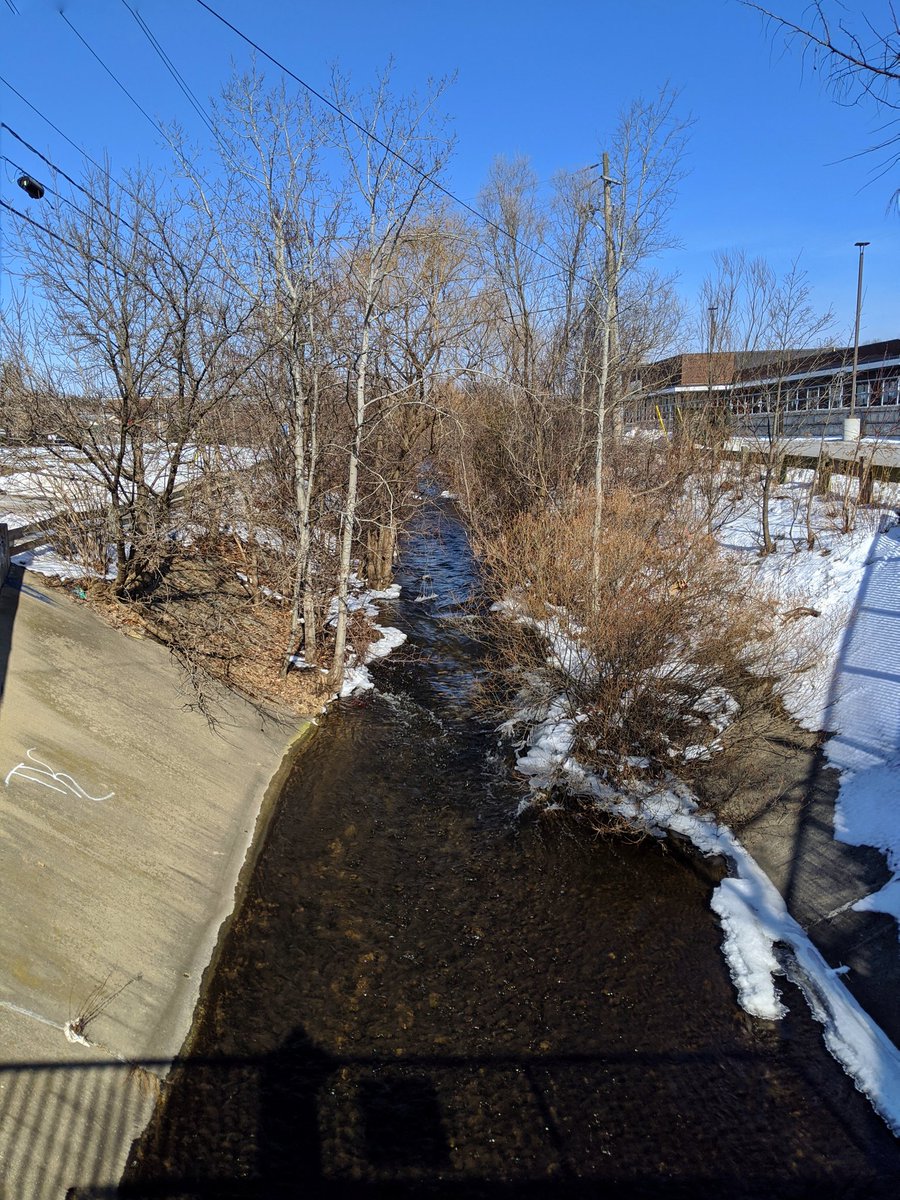
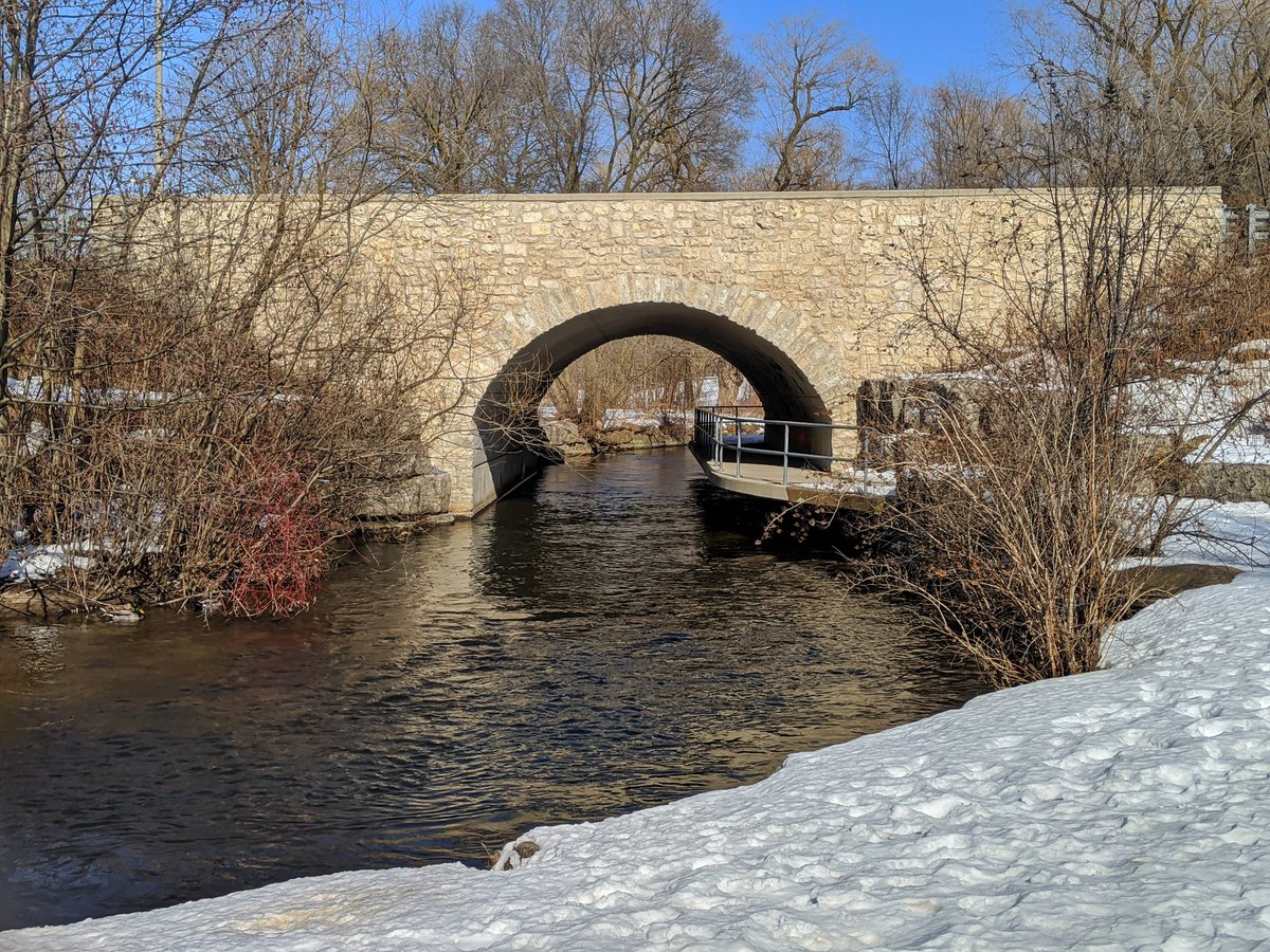
The creek comes to George Street North. Through a culvert, and tumbling down a cut in the rock into the Grand. I passed by this back in September, but it’s quite beautiful in the winter too.

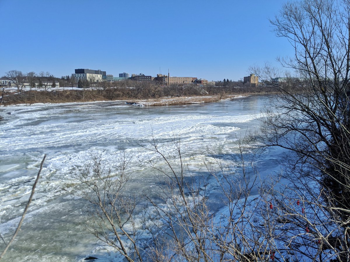
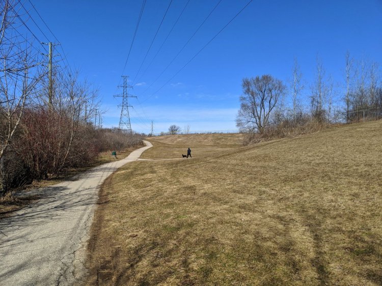
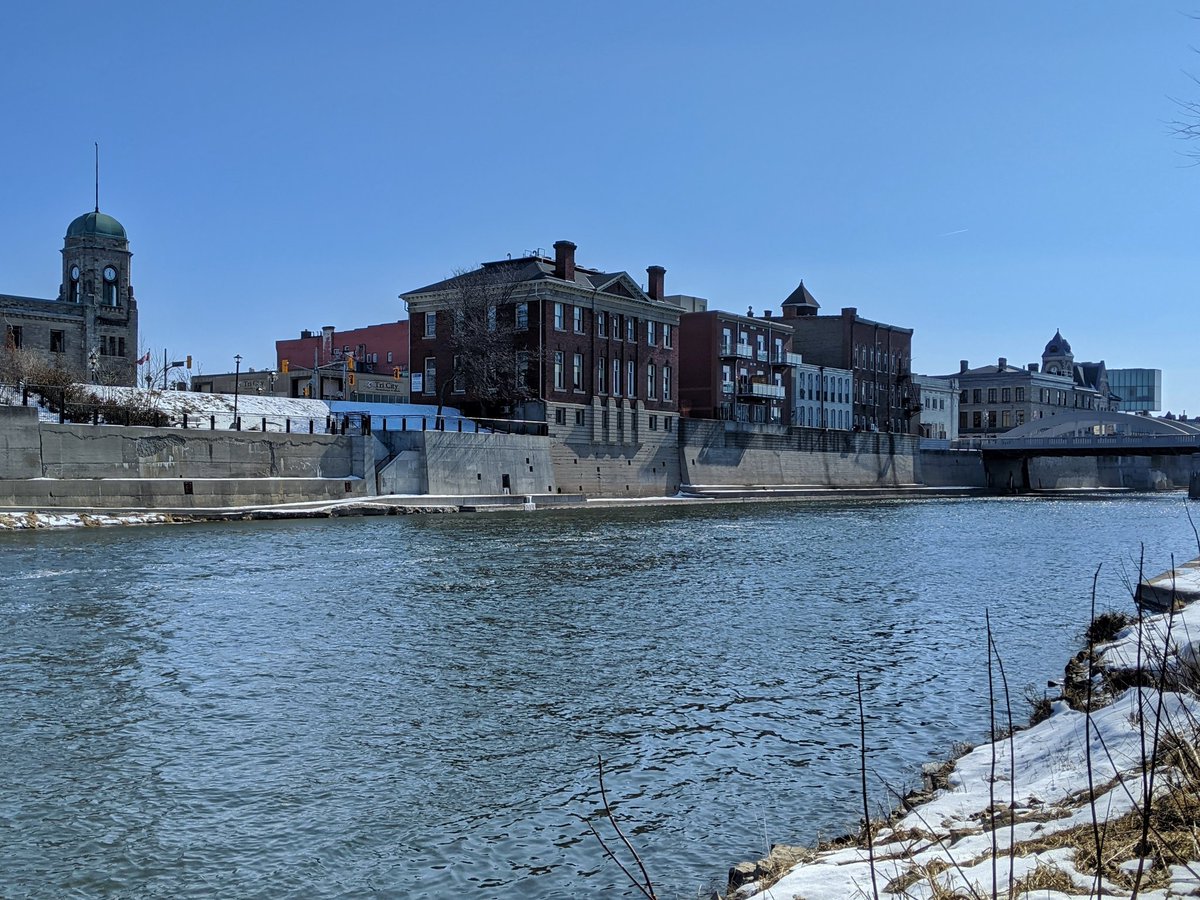
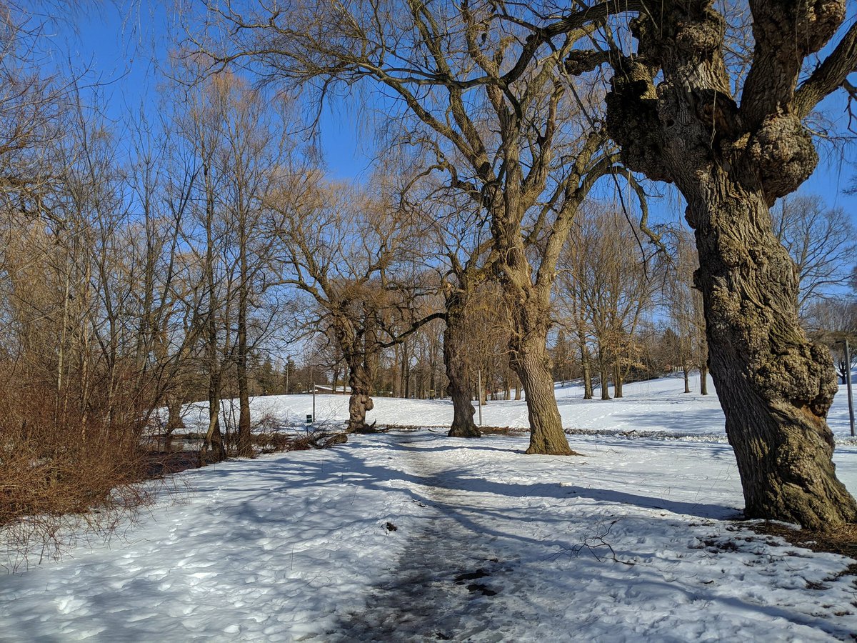
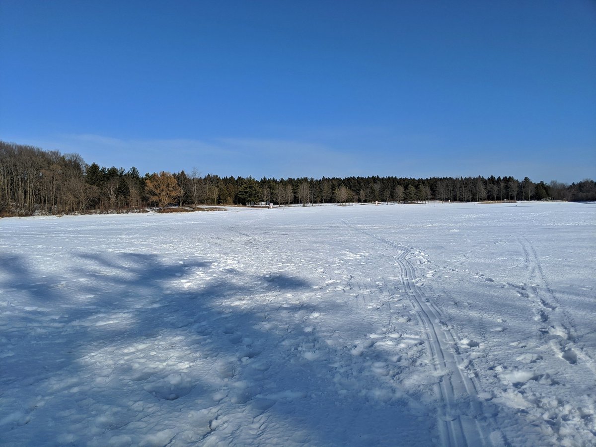
South along the Grand River now. You’d be forgiven for mistaking this for a northern Ontario trail.

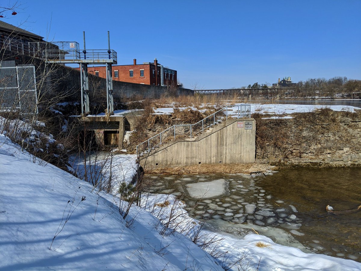
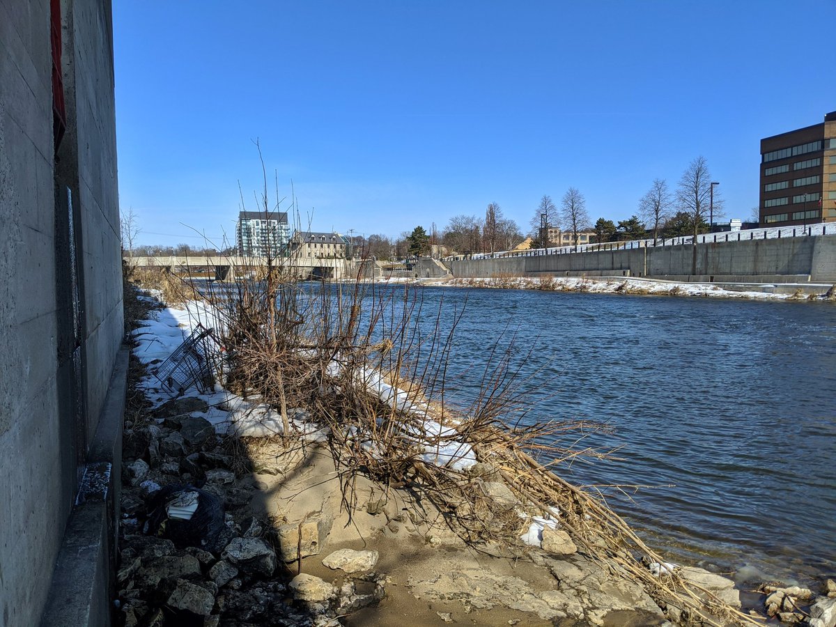
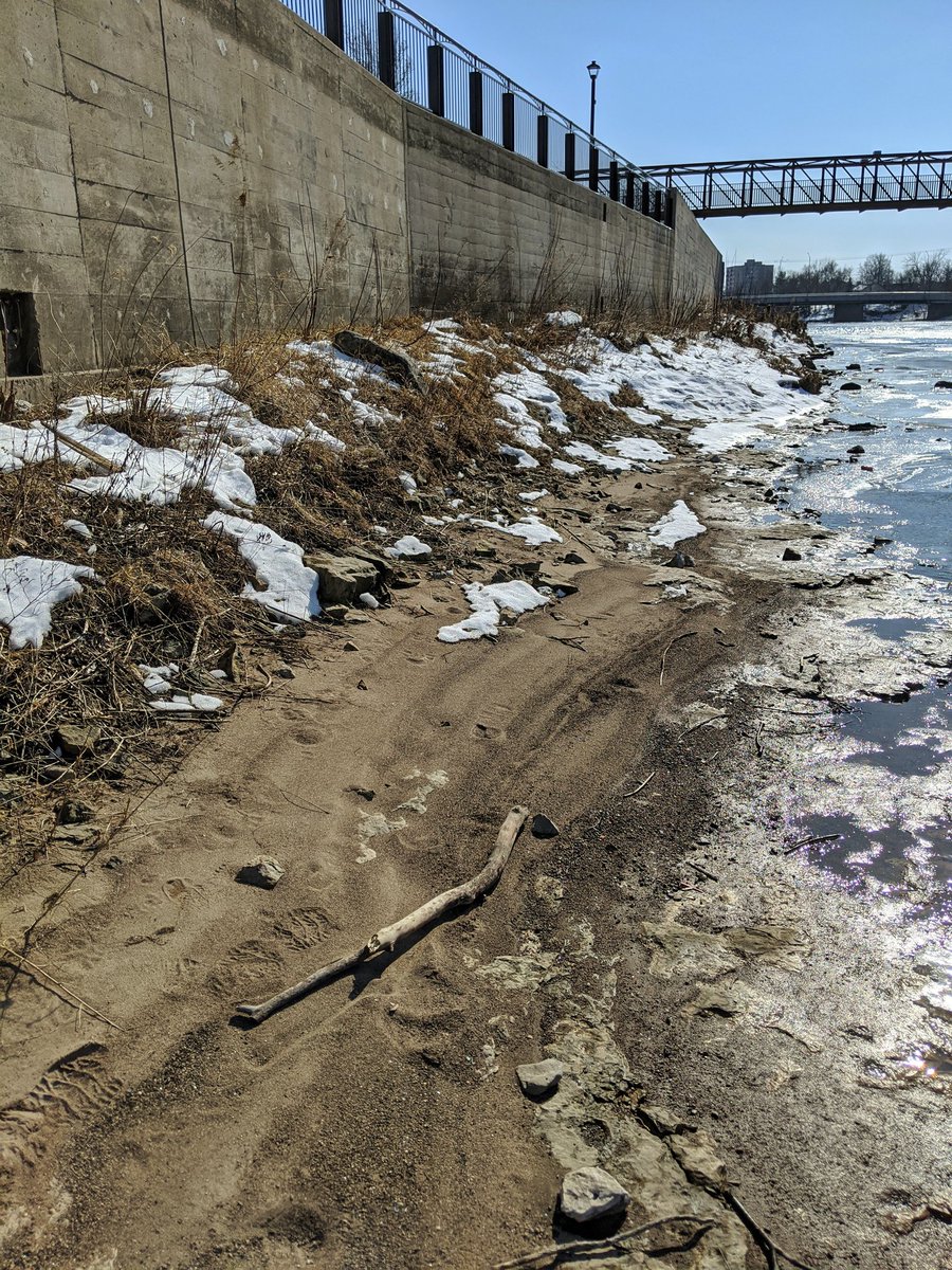
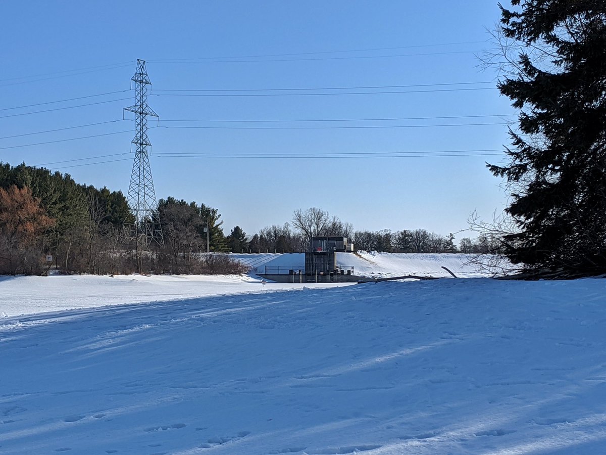
Down to the riverbank, checking out the Parkhill Dam Sluiceway and west floodwall. A bit dicey, and while I was going to do the same on the east bank, I’ve thought better of it. Better safe than sorry.
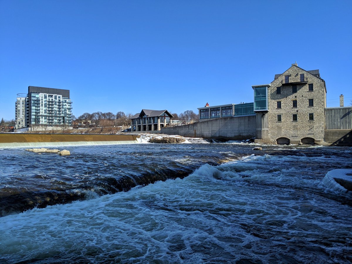
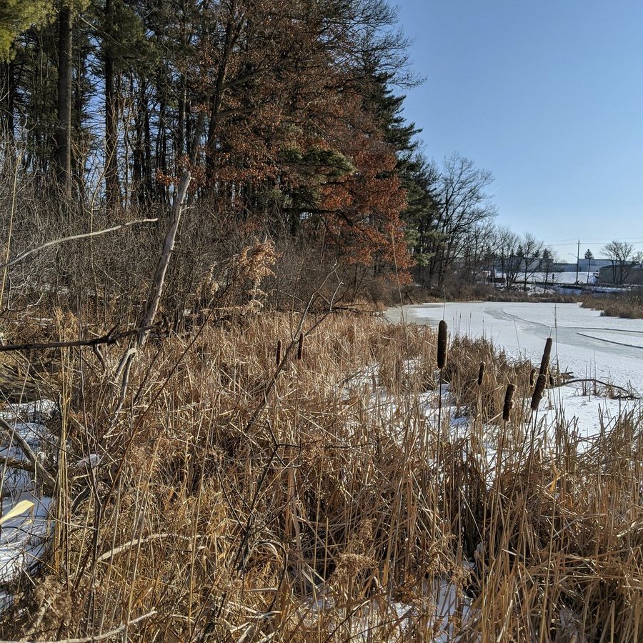
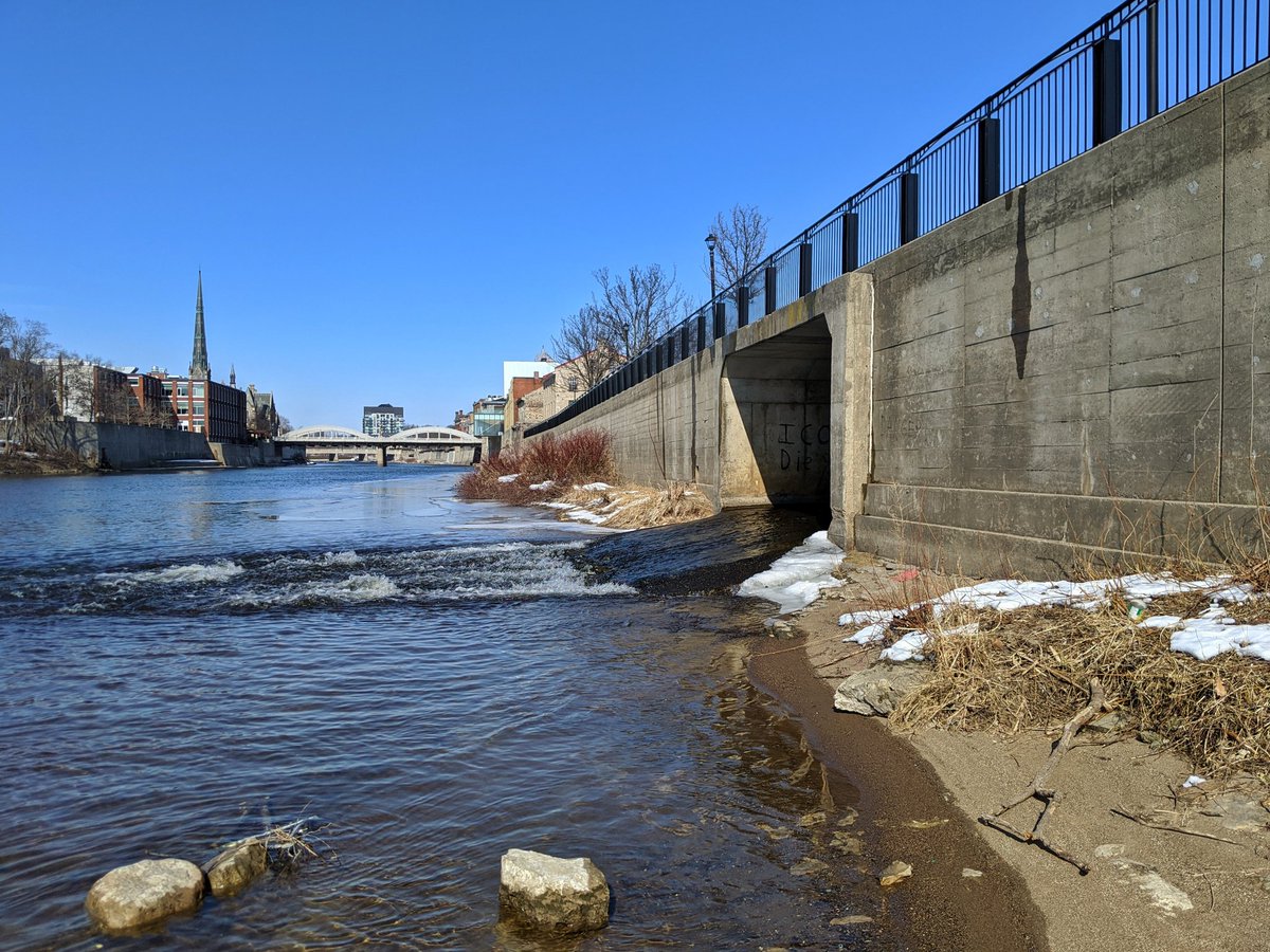
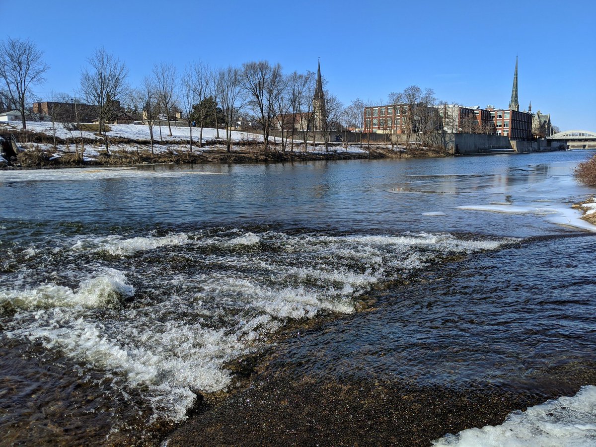
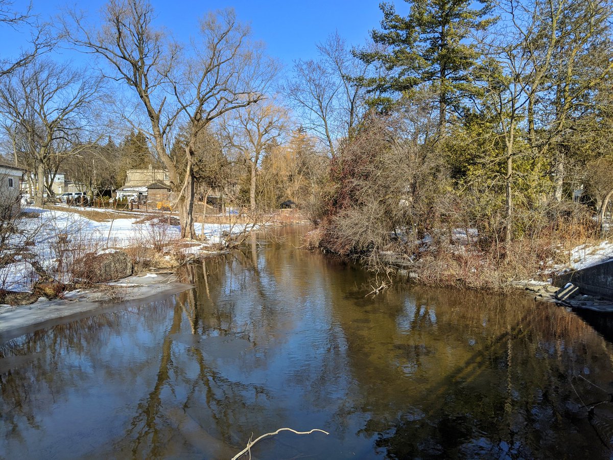
Back on the bank of the Grand, north of Craig’s Crossing. This is the outfall of Mill Creek, which is buried for a short while. Upstream of here is just retracing the proposed Stage 2 ION route.

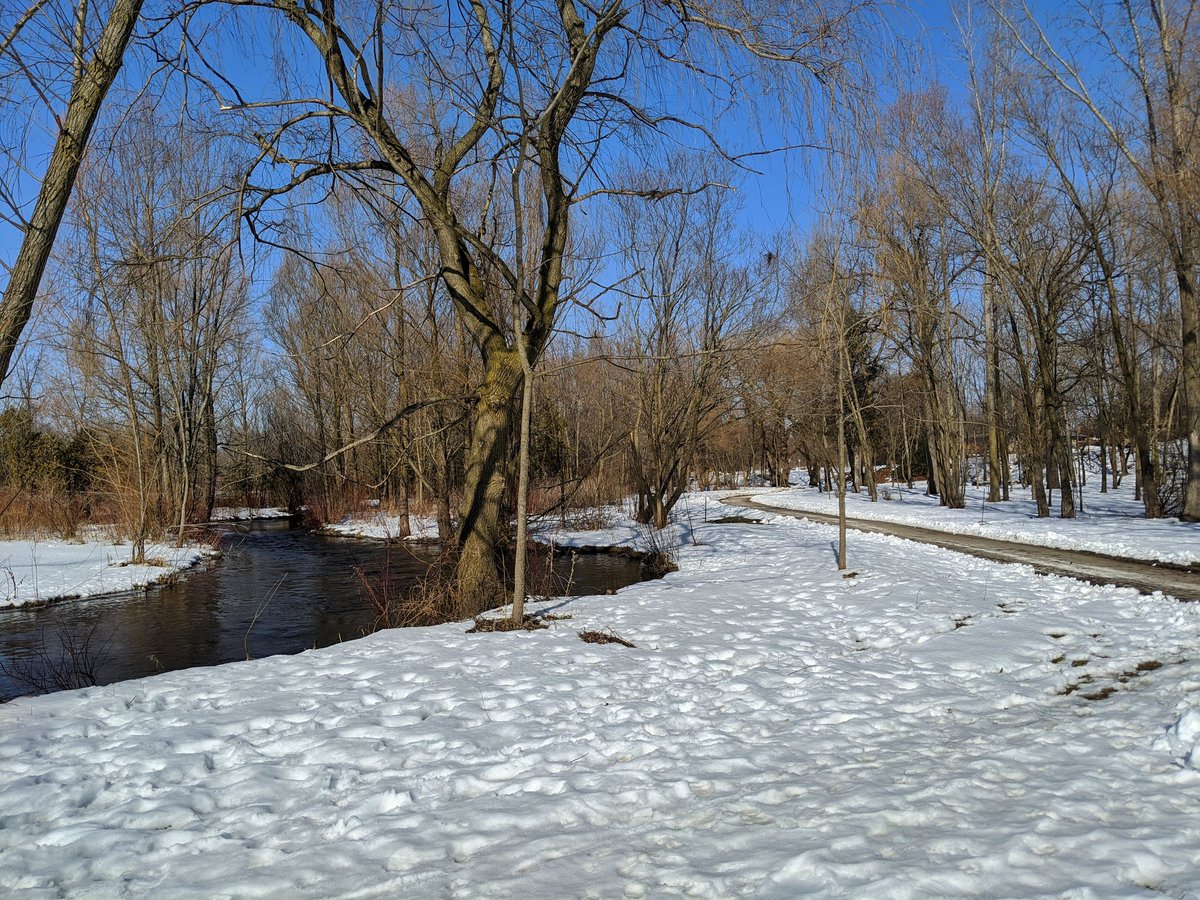
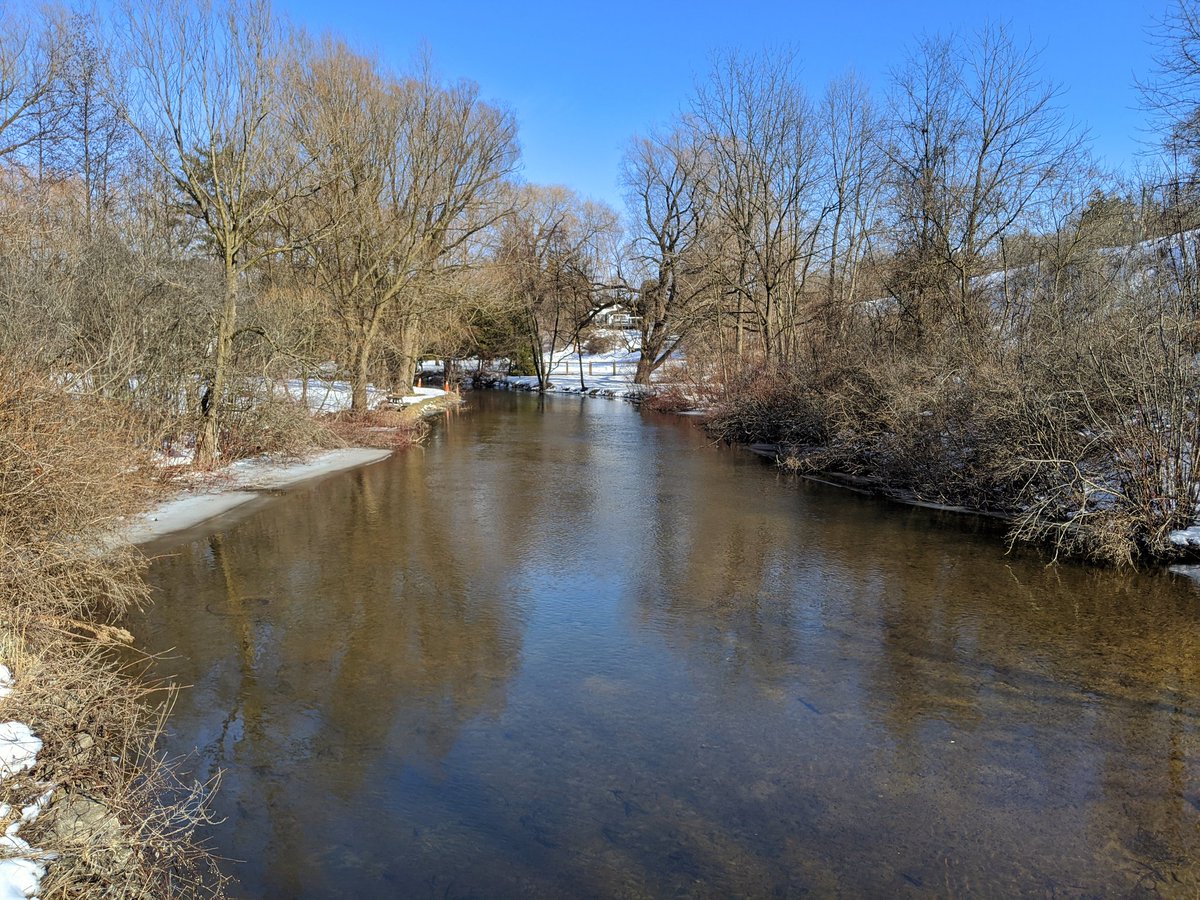
The creek is underground parallel to Wellington, and pops out north of Main. Pretty straight and confined channel until Soper Park.
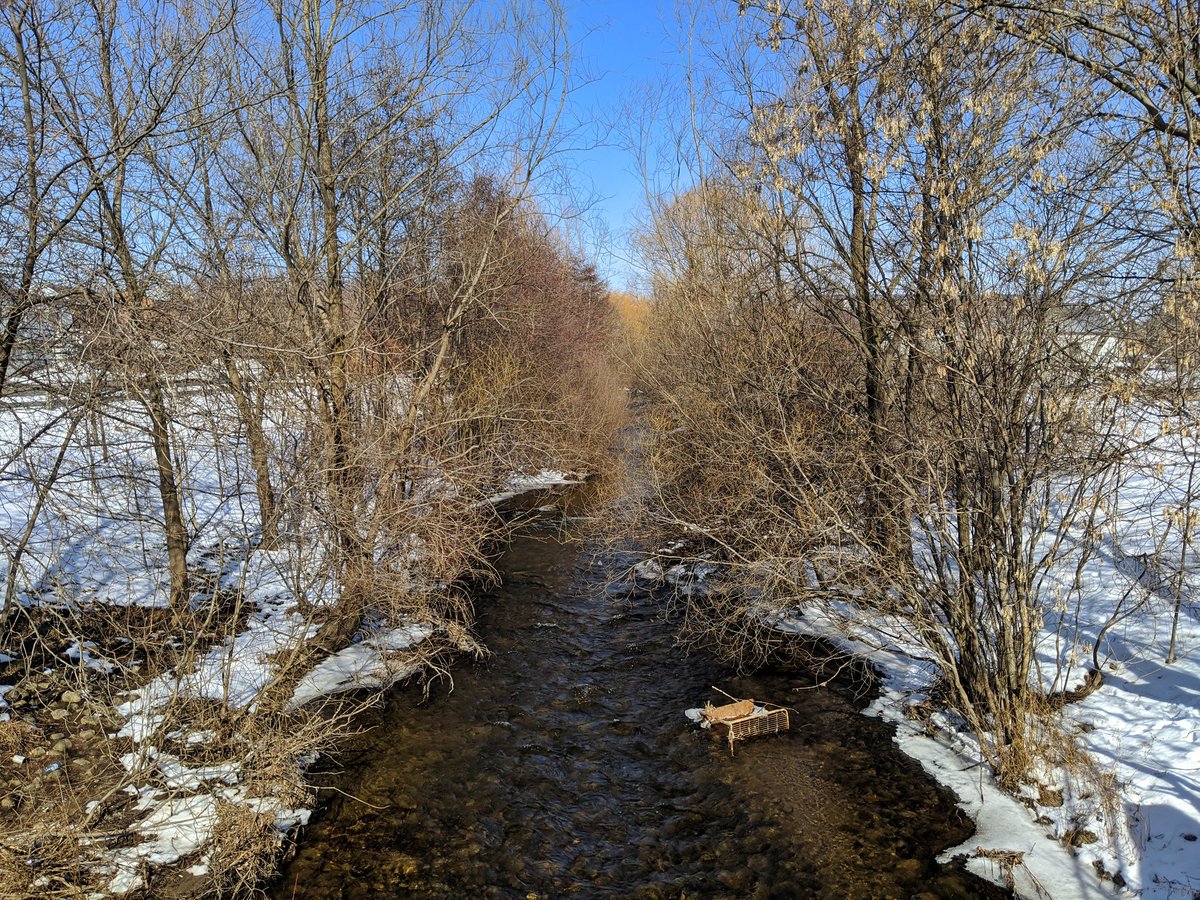
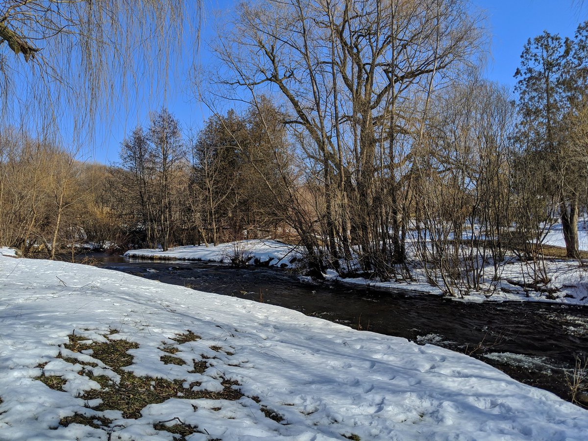
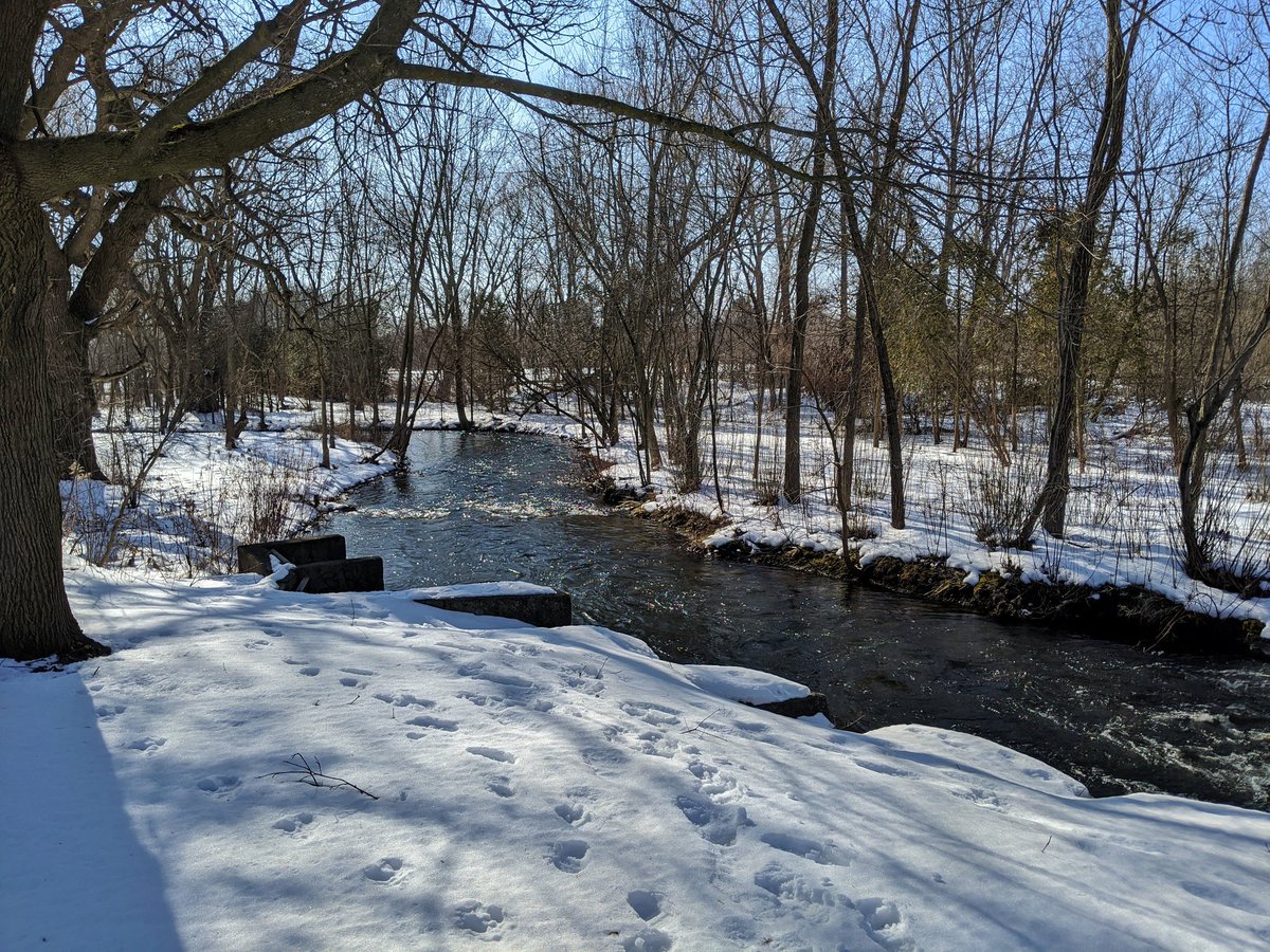
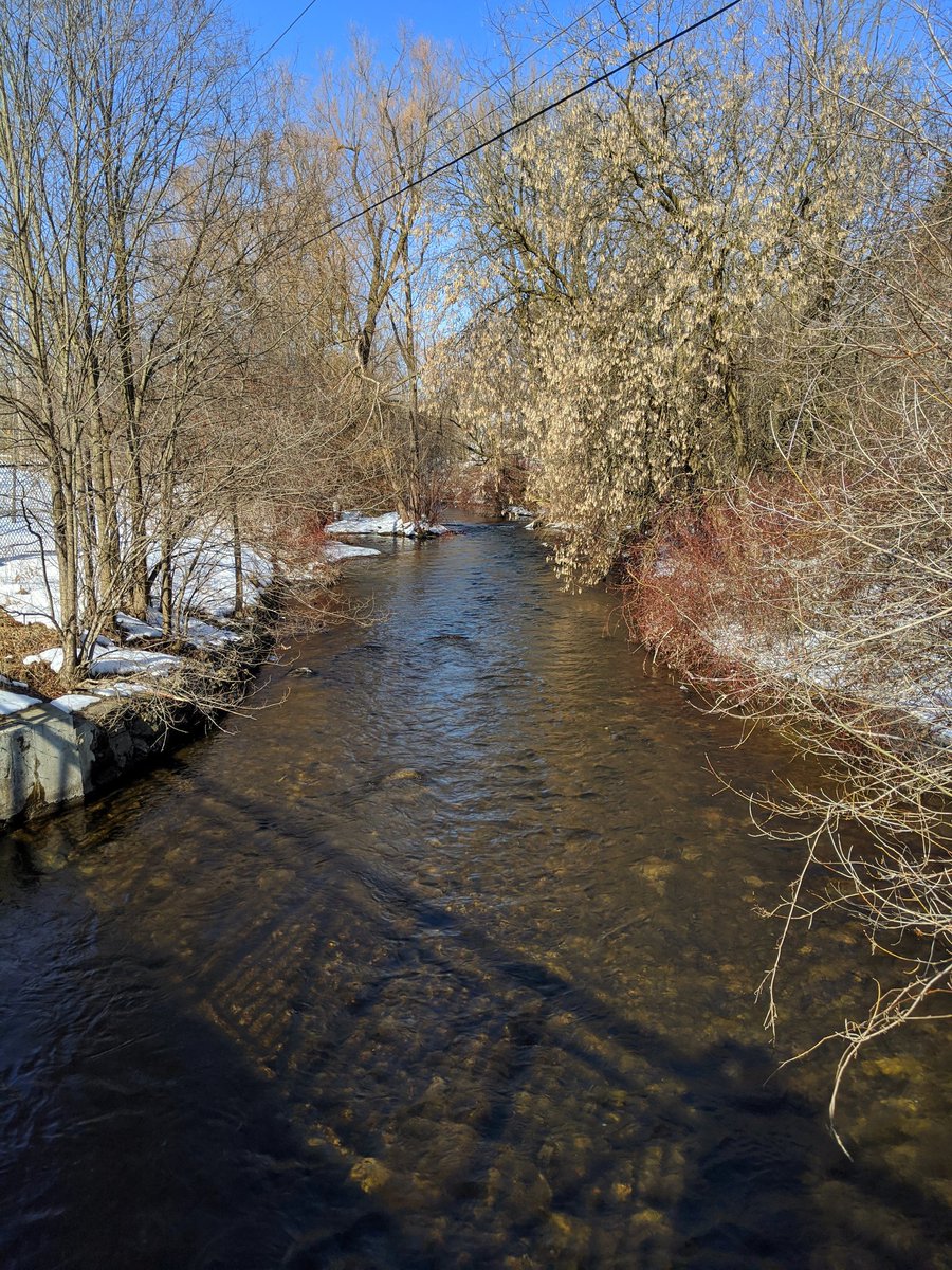
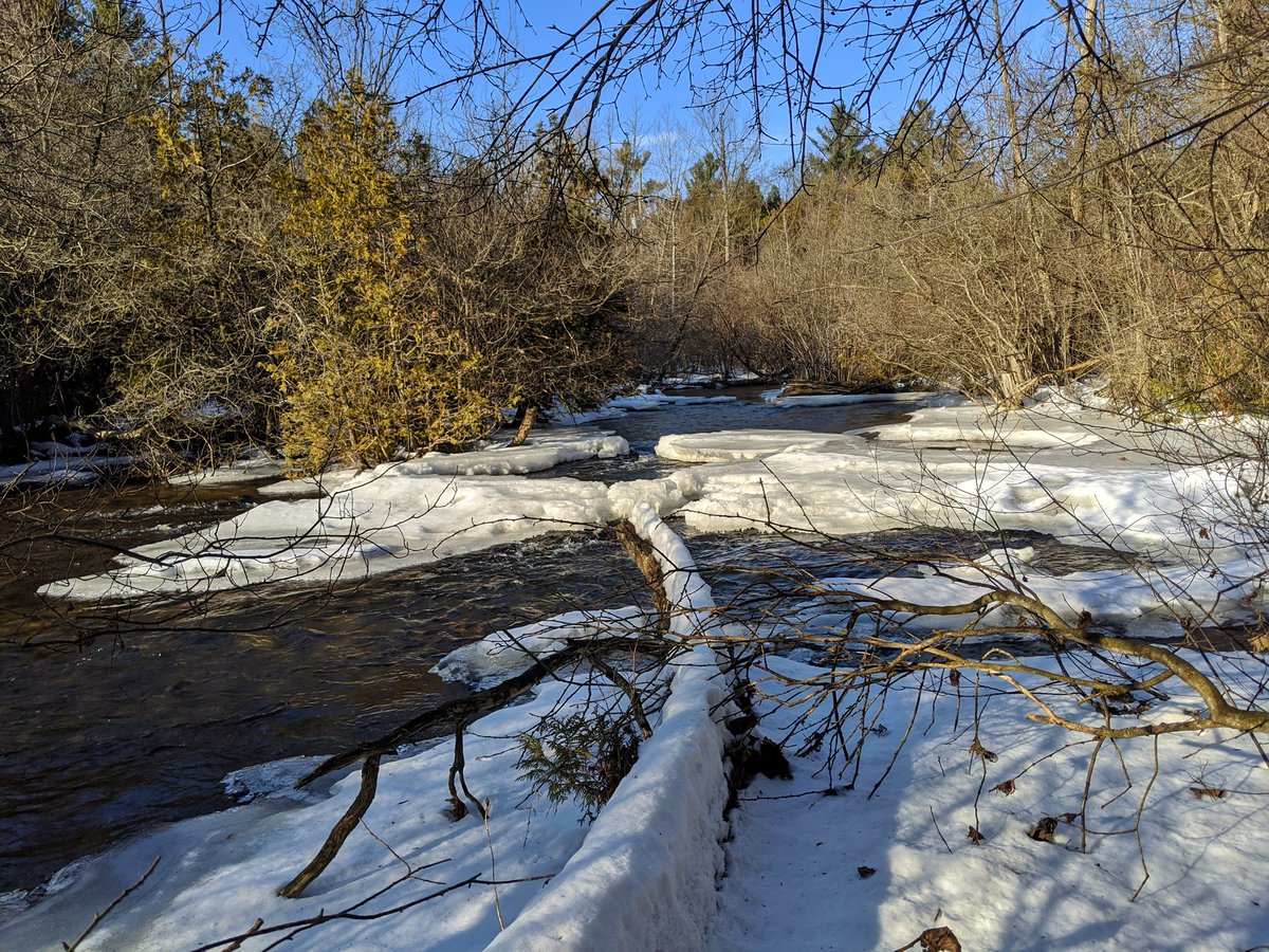
Things get wide, shallow and fast in north Soper. Lots of riffles and mature trees.
Mill Creek goes under the same CP mainline Devil’s Creek crossed earlier. Not too much to see past that as both banks are taken up by private property. We’re getting close to the Shade’s Mills Dam, but the conservation area is on the reservoir’s north side. Gotta go around.

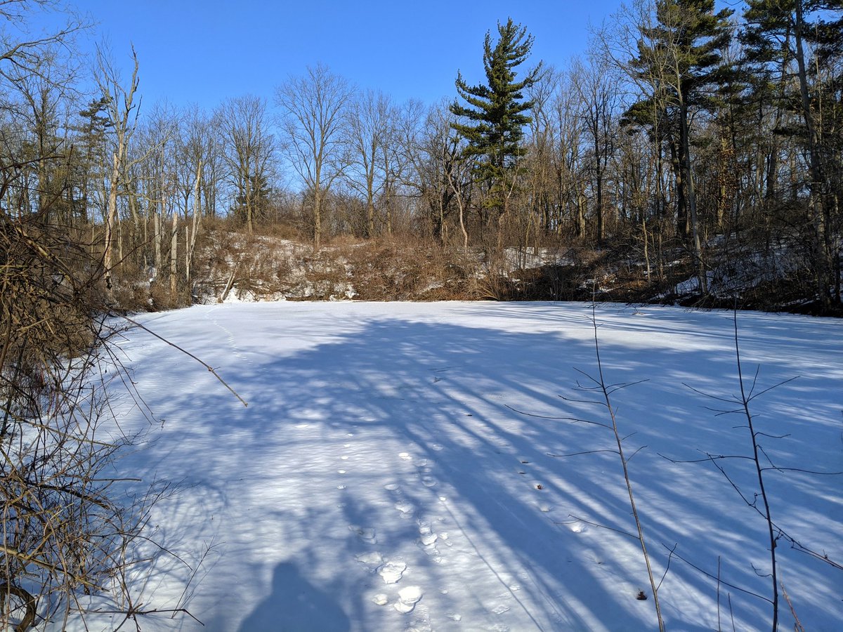
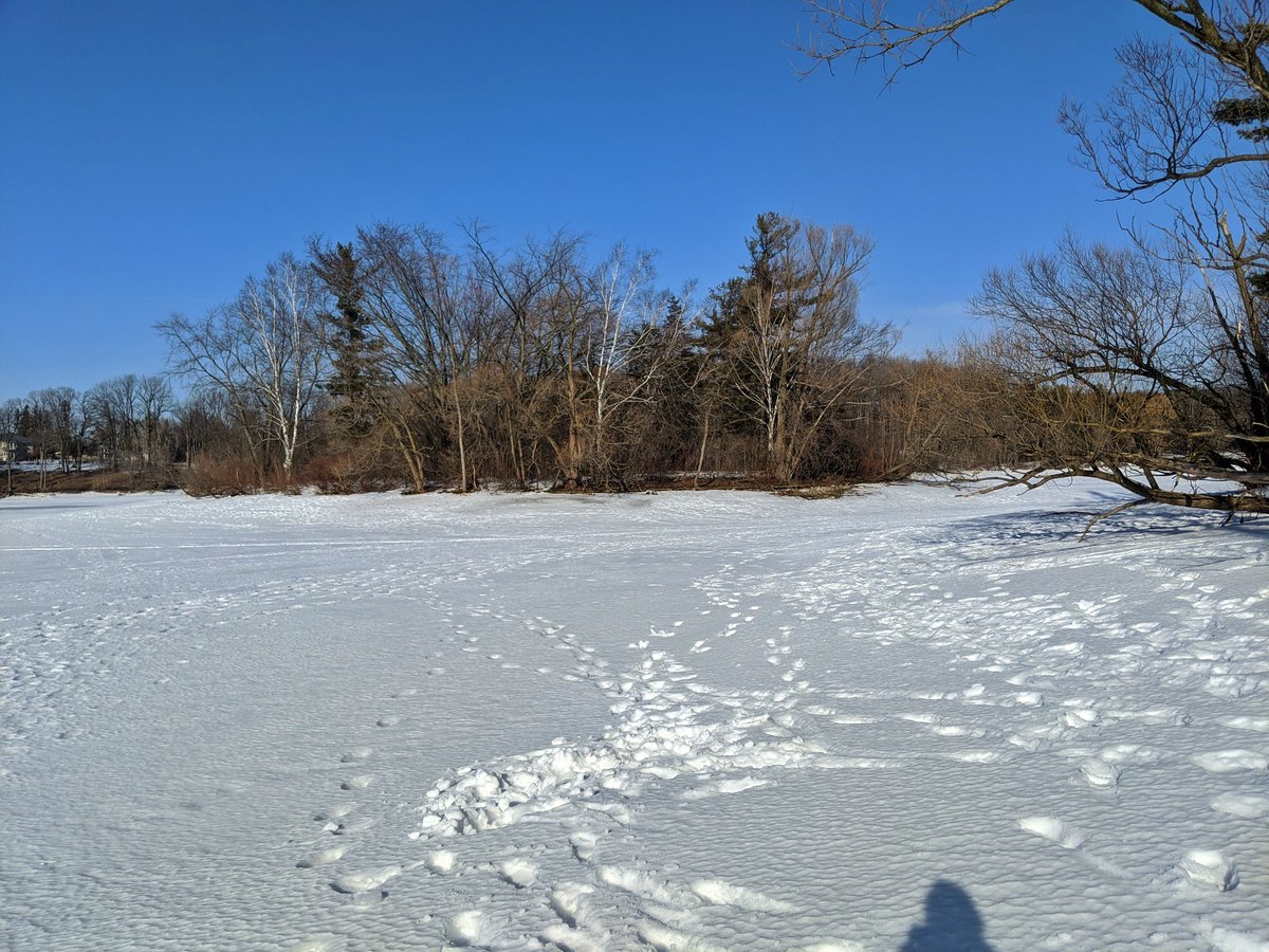
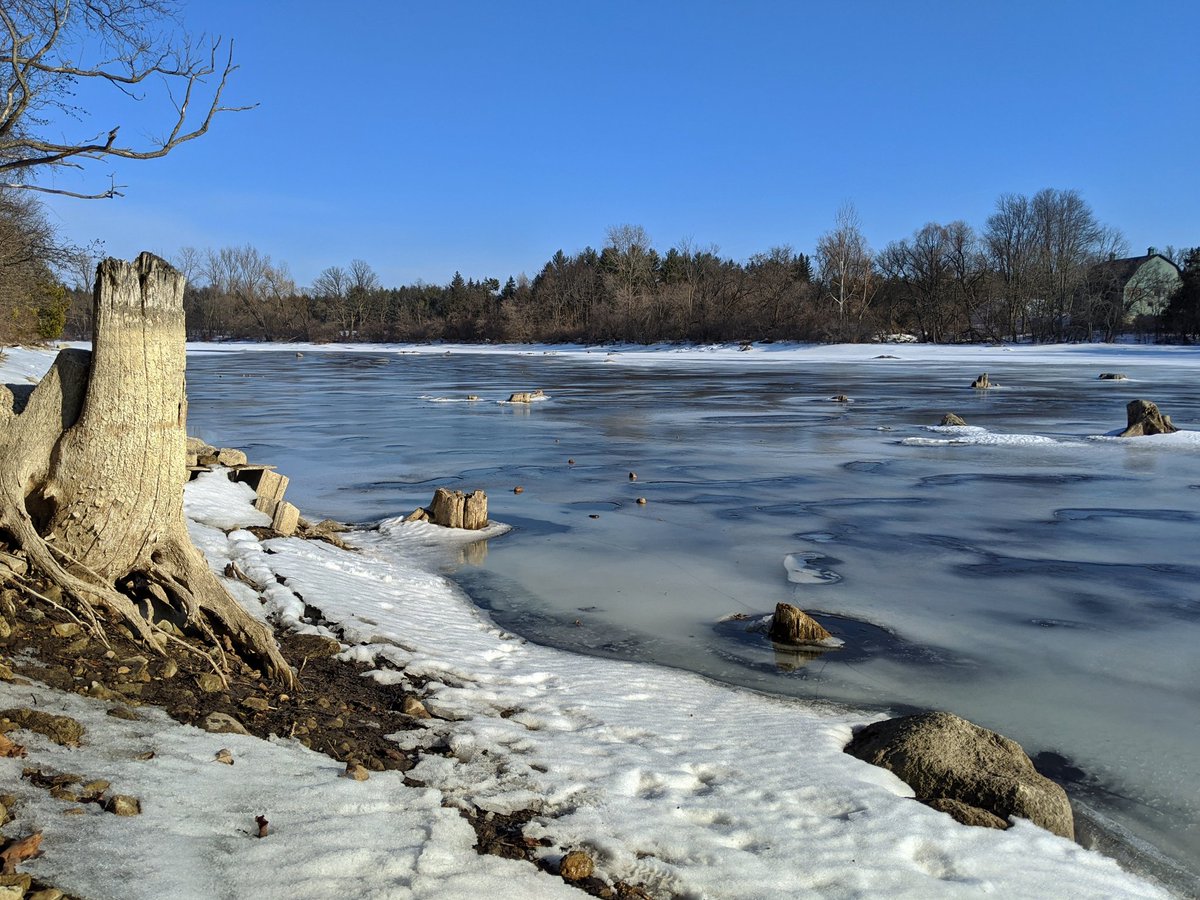
Here at the conservation area. It’s a long way to get in, but eventually I arrive at the Shade’s Mills Reservoir. It’s frozen and ice fishing is open, which means this is a great opportunity to explore the perimeter, the dam and islands. This is a rare circumstance in which I trust the ice.


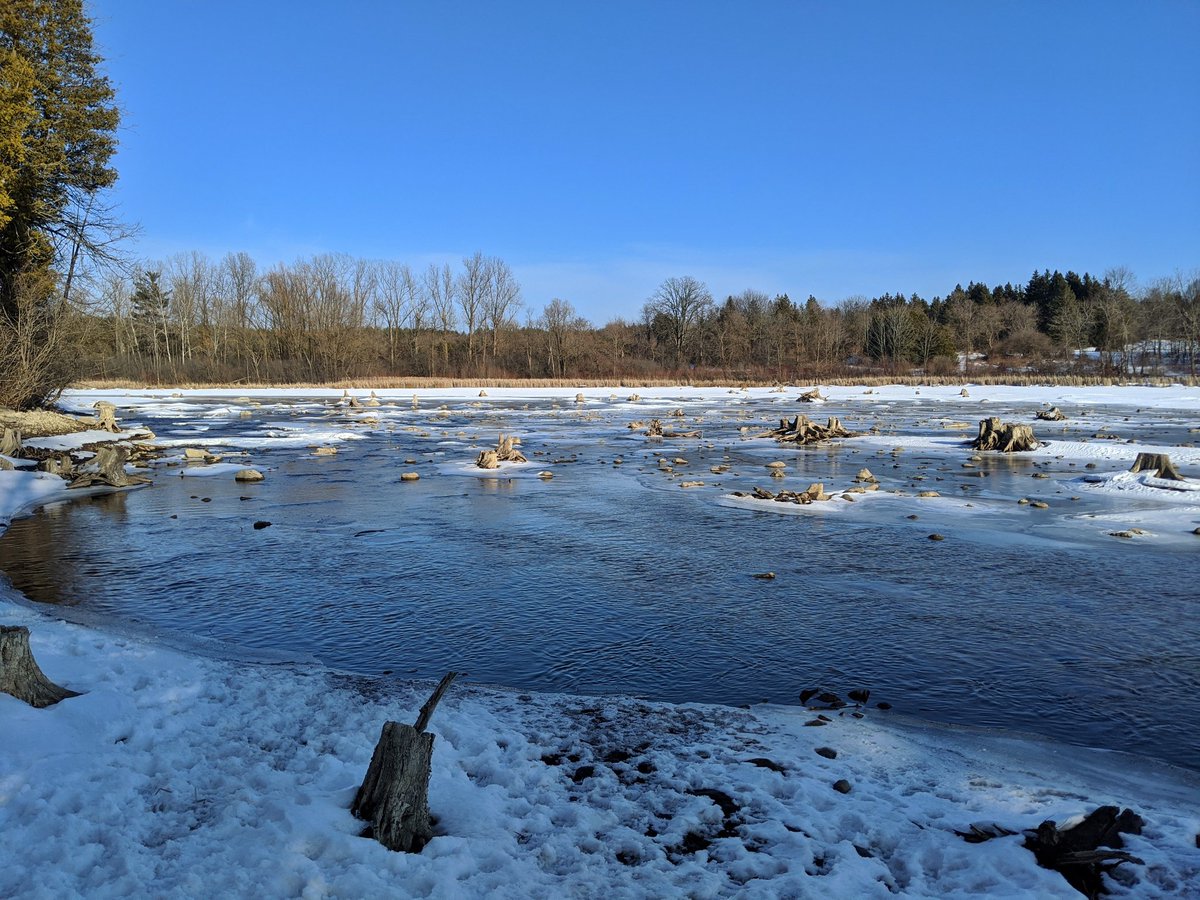
It’s a neat thing to check out an island. The dam intake is near the south shore, and the creek continues east.

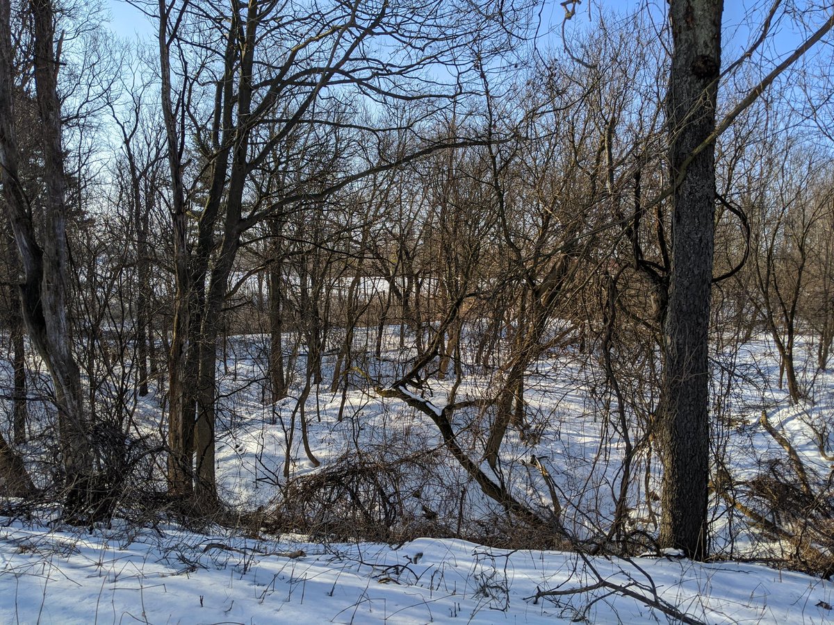
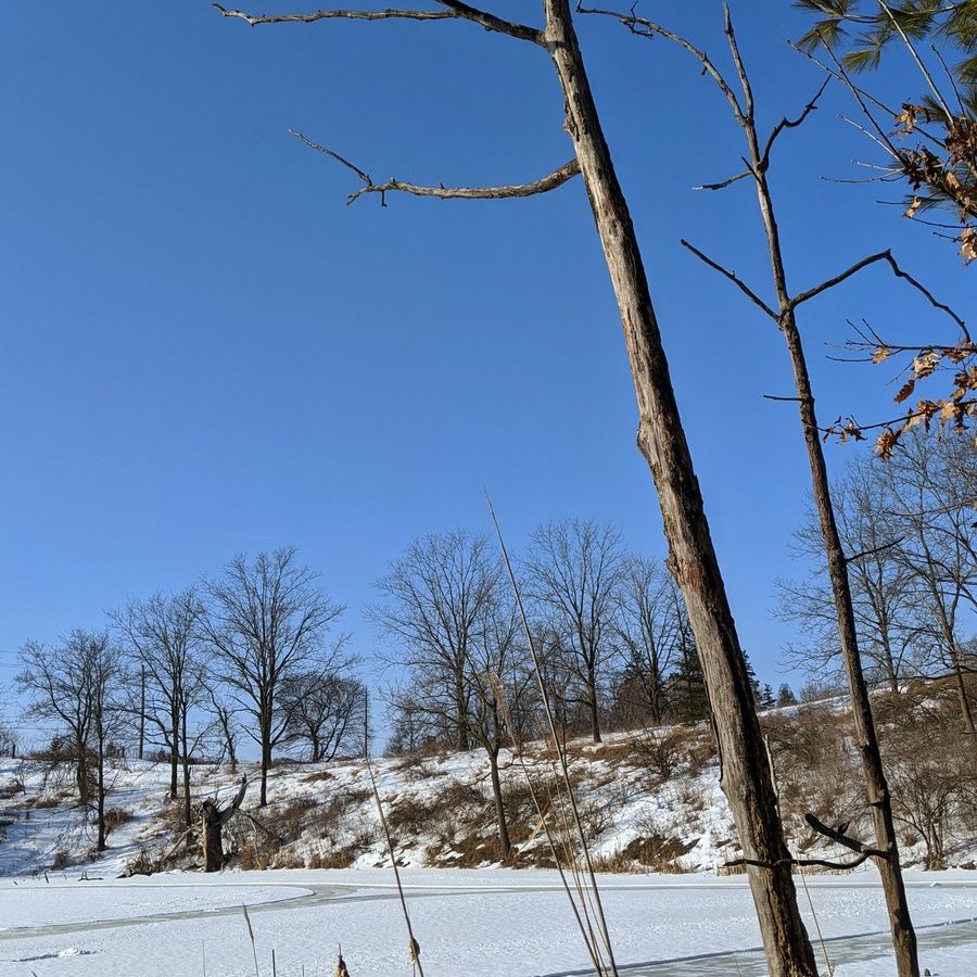
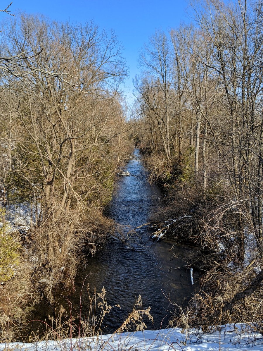
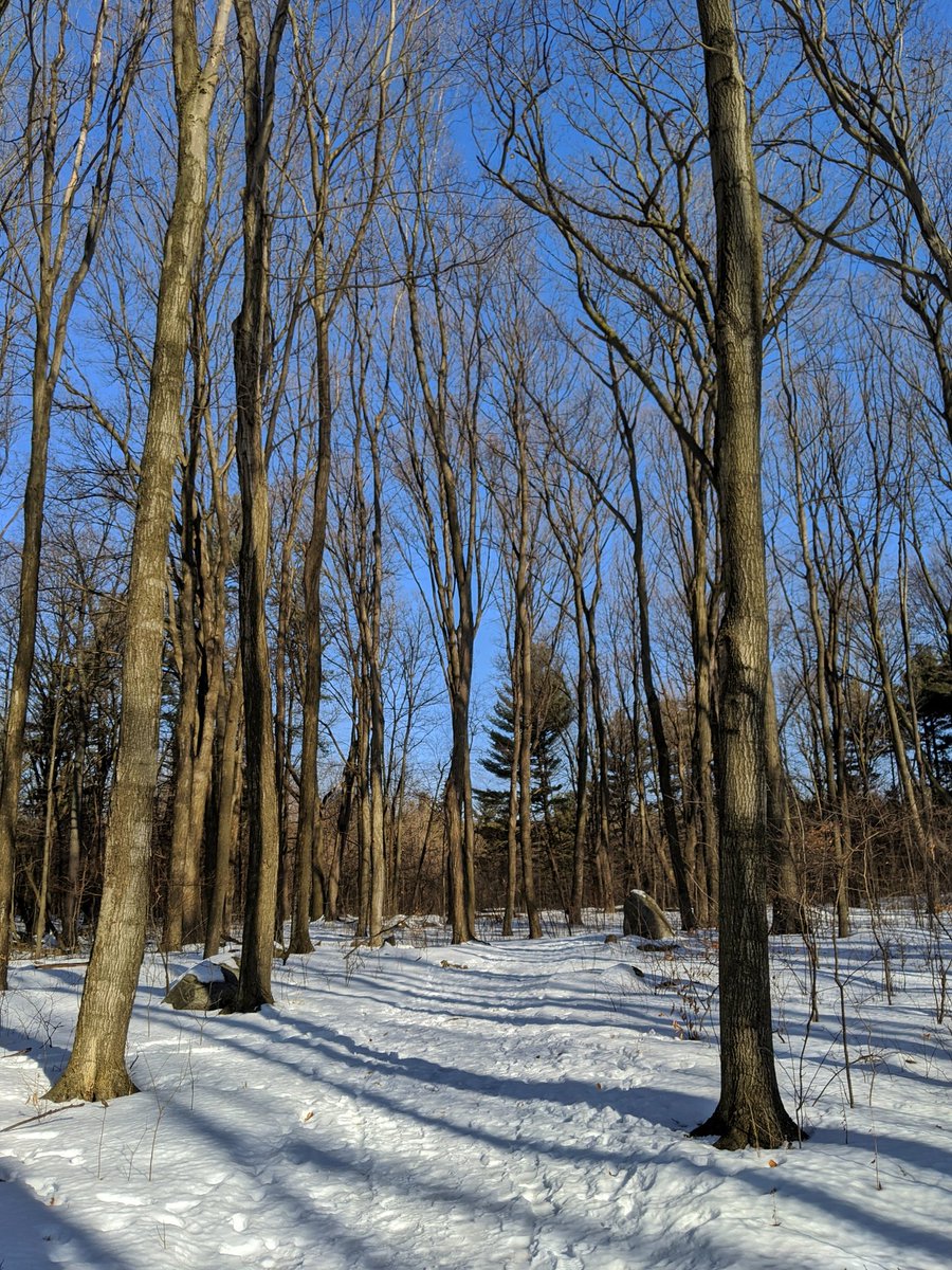
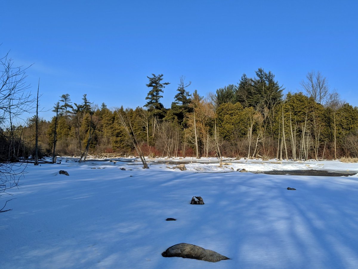
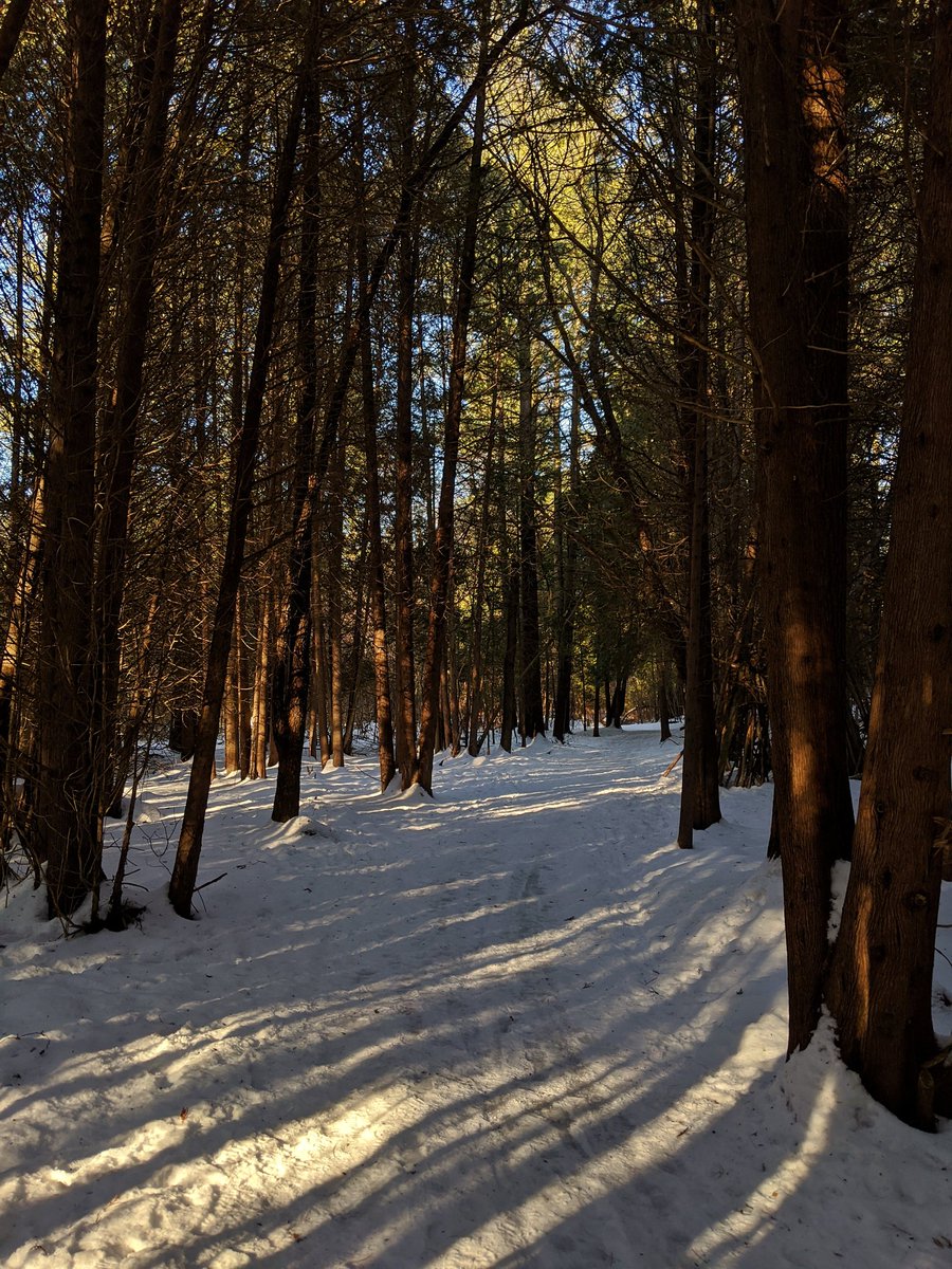
Lots of tree stumps in the upper part of the reservoir. Eventually things come into a more confined valley with lots of cedar.
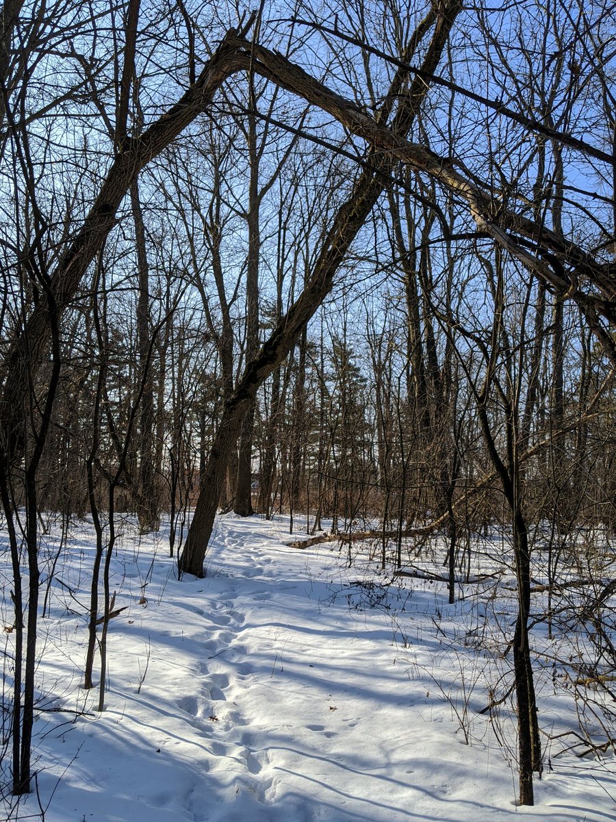
Formal trails lead over the creek. Thick cedar forests the whole way upstream. All trails eventually go south, with the last one turning close to Cambridge’s east border. I gotta backtrack quite a bit to get back out of the park, but I’ll end today’s thread here.

Date: February 22, 2020
Length: 19.8 km
Type: Riverine