Good morning. I’m taking a walk along the Guelph Subdivision today, a rail line that runs east-west through Kitchener. Starting point is steps from the Detweiler Transformer Station in the west end. Let’s go.

The ownership of the Guelph Subdivision is split. Metrolinx purchased the east part of the line a few years ago, where they currently run GO trains. CN owns the rest. They leased it to a short line railroad up until the lease expired a year ago or so.


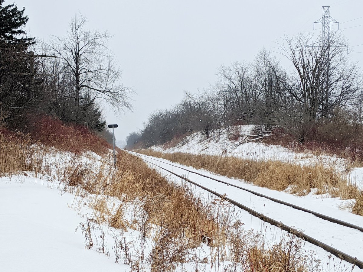
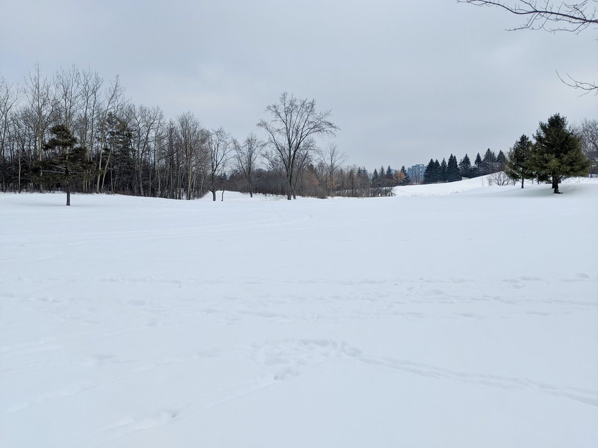
Good form so far. There are walking paths in parallel, and a structure that doubles as a creek culvert and an active transport underpass.


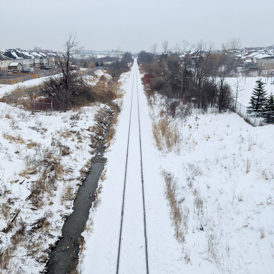
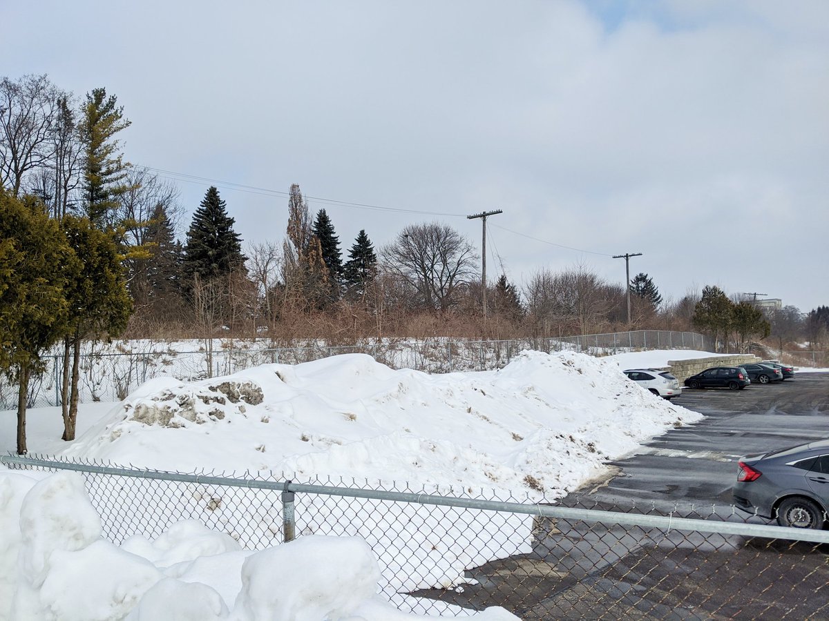
Railside trail continues until Fischer-Hallman. Then you get dumped into the suburbs.
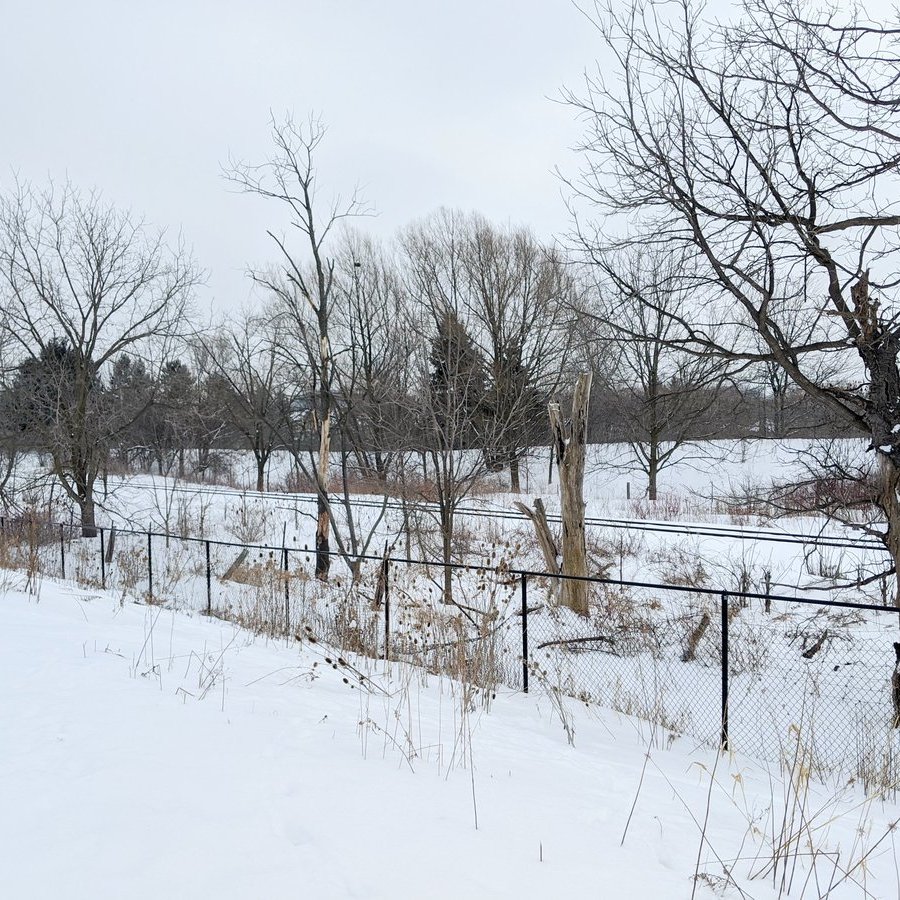


Finally, after zigzagging through residential streets, I break out into a field behind a school. Railside trail is short-lived though, an industrial commercial strip gets in the way.


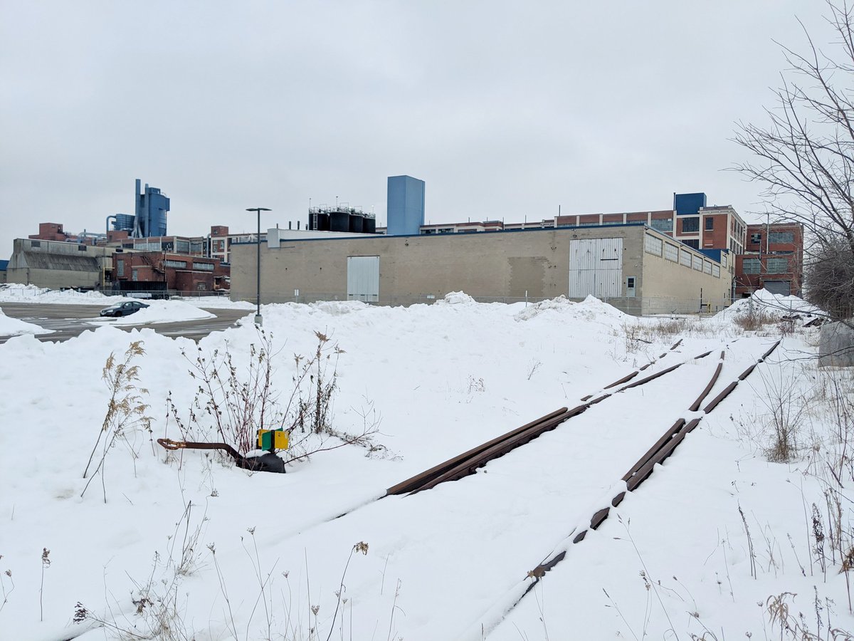
Rail trail meets rail line. I picked the wrong side of the tracks, gotta backtrack. Through Cherry Park to the first of two GO layover facilities.


Hey, look at that, Kitchener has an 11′ 2″ bridge! If it’s anything like the 11′ 8″ bridge in Durham, NC, I’m sure it’s had plenty of other victims.


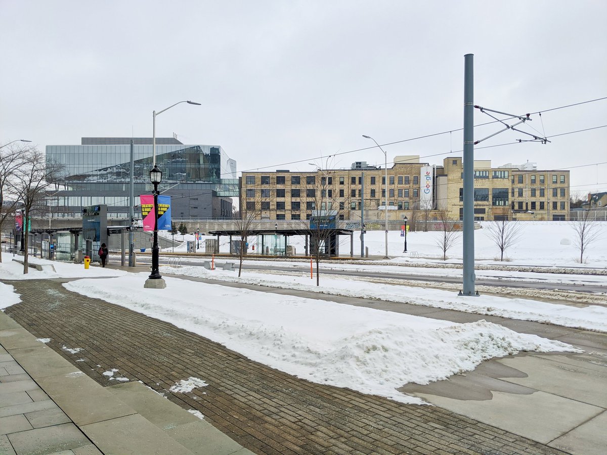
Downtown Kitchener. Future central transit hub for the region. Would have expected things to be more pedestrian friendly, but it’s not quite there yet. At least there’s some great buildings.

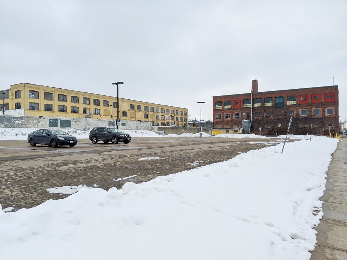

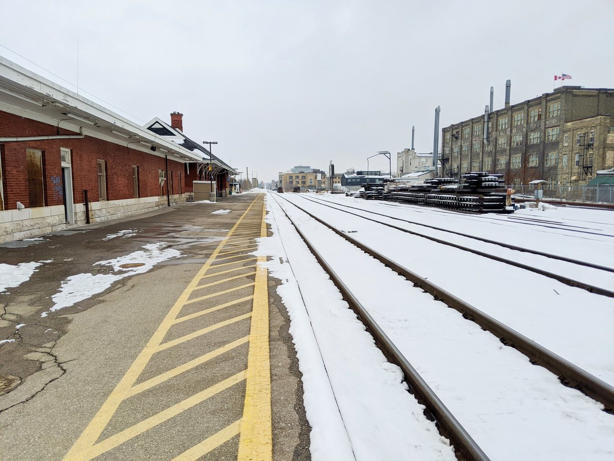
The old train station, one day becoming obsolete. A yard, a spur and some double tracking.


Out of the downtown, direct accesses across the tracks become scarce. The River Road pedestrian bridge may be the most random and underutilized crossing location yet.


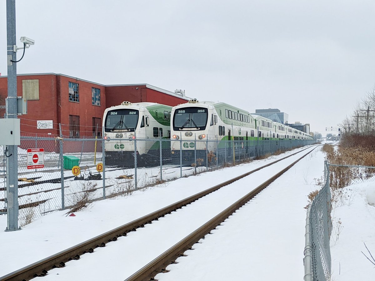
The second GO layover in Kitchener. Not much to see, can’t pry too much.


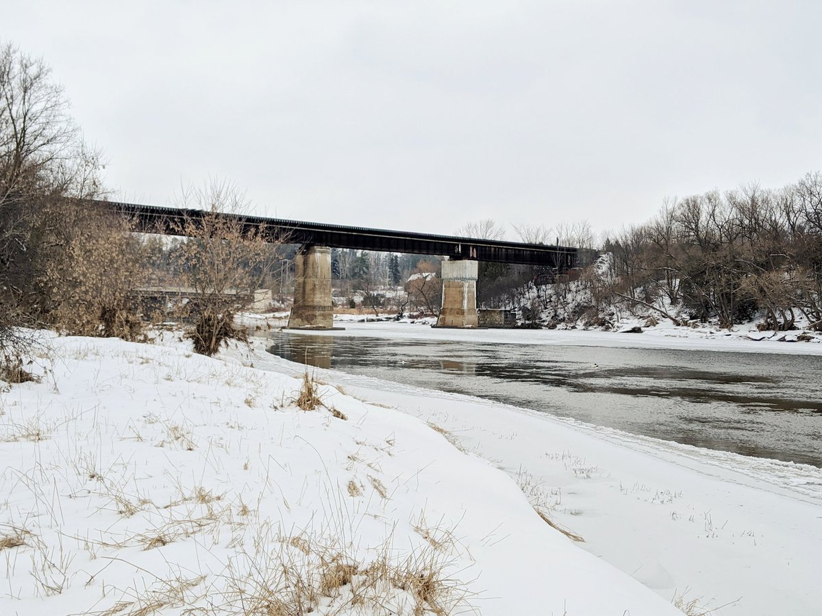
Three last crossings on the far east side of the city: Bingemans Centre, Highway 7, and the Grand River. With that, I’ve covered the full length of the subdivision. That’s today’s walk.


Date: February 9, 2020
Length: 20.1 km
Type: Railway / Highway


