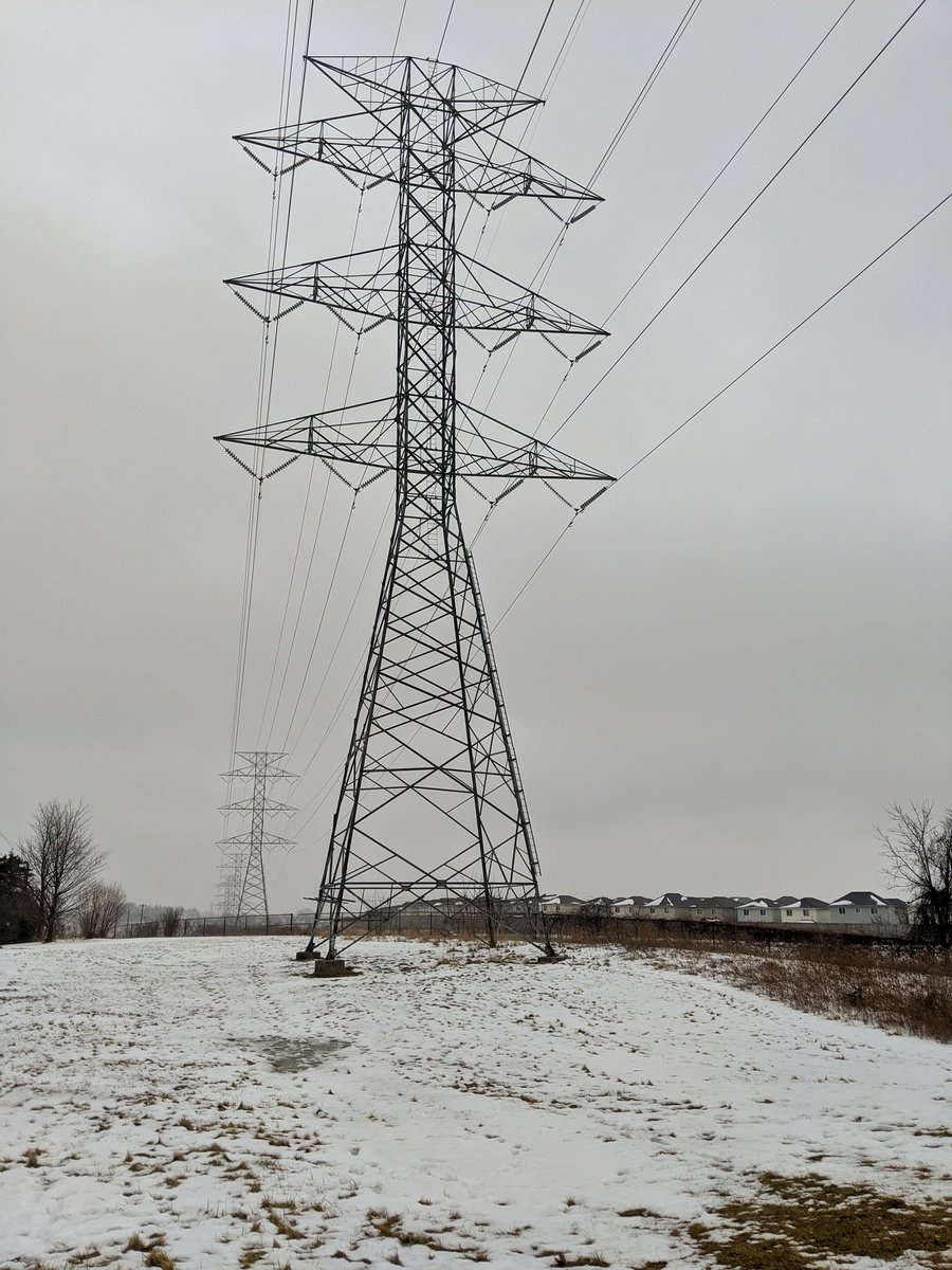
Good morning. I’ll be taking a walk along another Kitchener hydro corridor today. This one starts at Fairway Road, and eventually we’ll meet up with the Kitchener West corridor I followed three weeks ago. Let’s go.

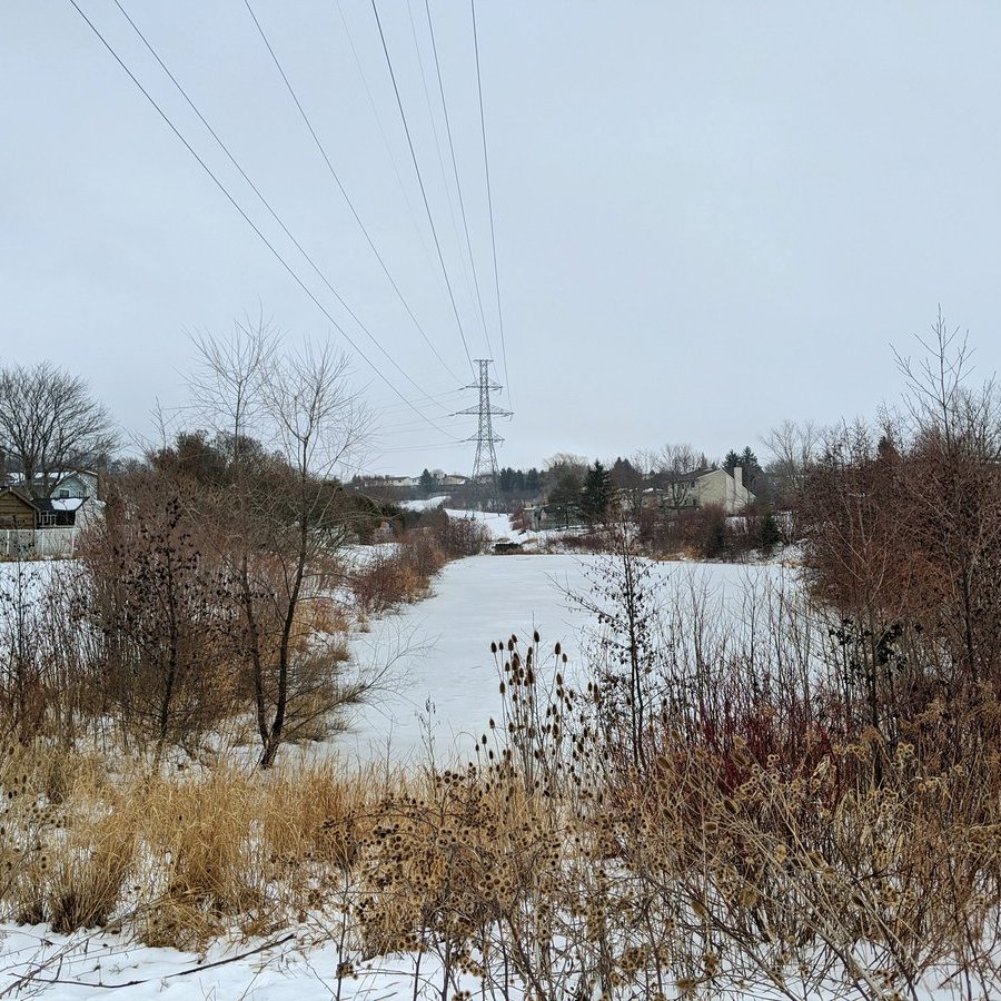
From a transformer station south of Fairway, it’s a short jaunt where the hydro lines get buried. This was necessary to make the LRT happen. They pop up again at Courtland, and the LRT splits to the north.


There’s a corridor that branches off south of Block Line, following the CN Huron Park spur, I’ll get shots of it another day. Main corridor continues northwest.


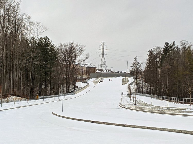
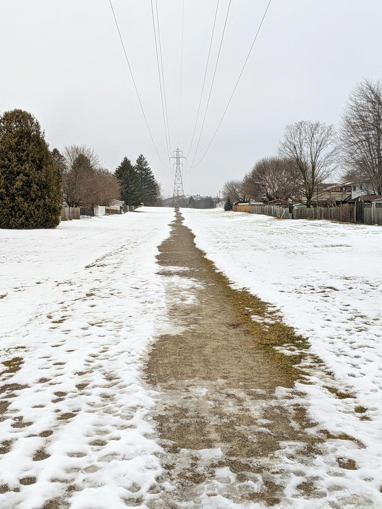
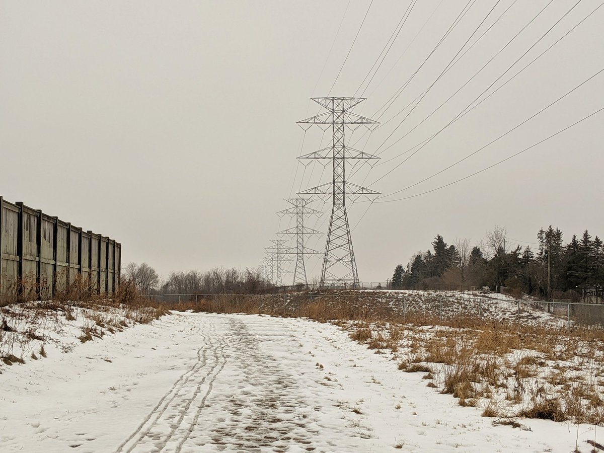
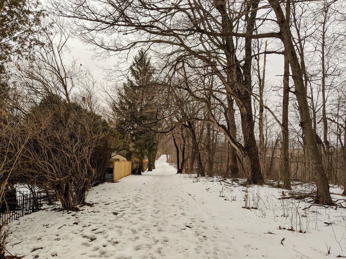
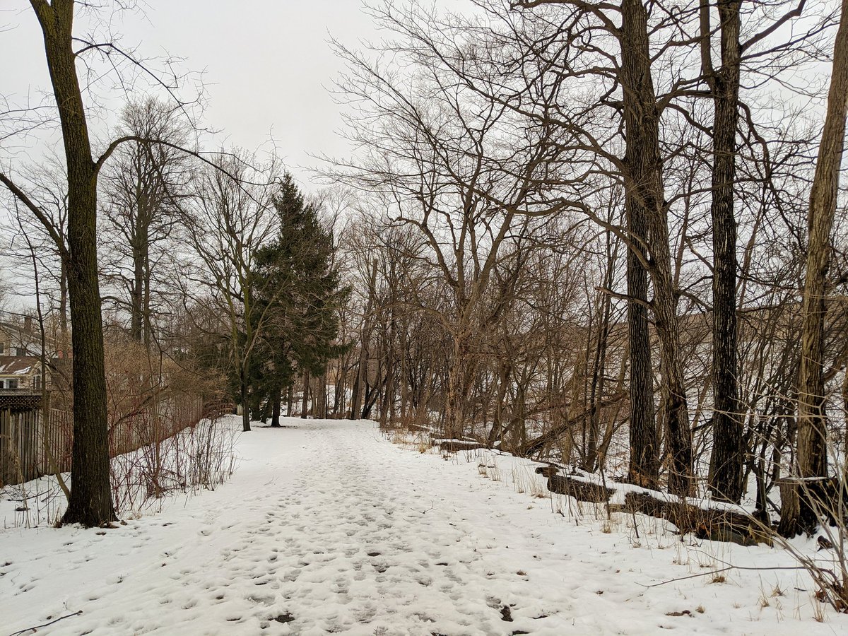
After flying over wetlands and west of Homer Watson, there’s a formal trail. Makes the hike easier in this freezing mark slush.
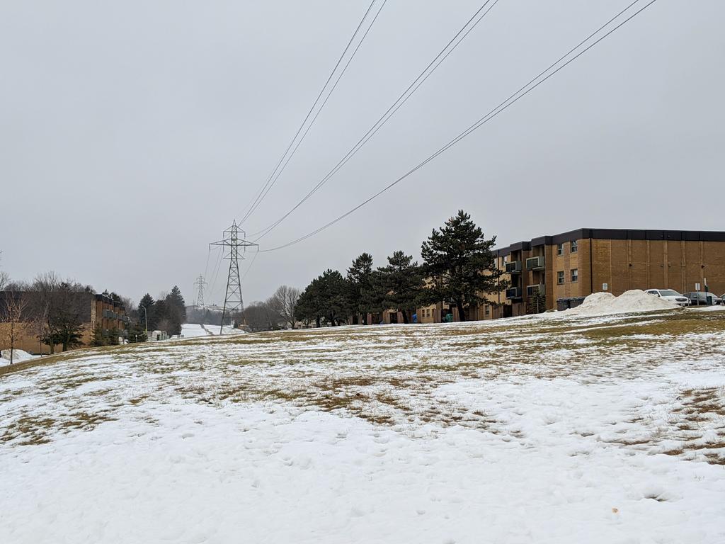
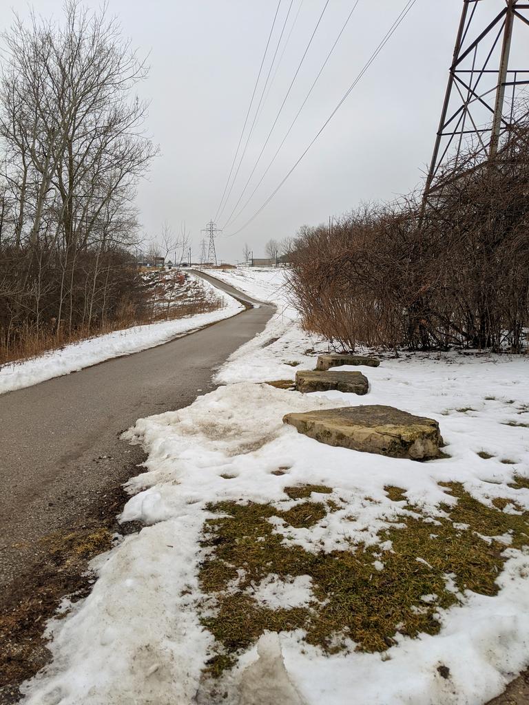
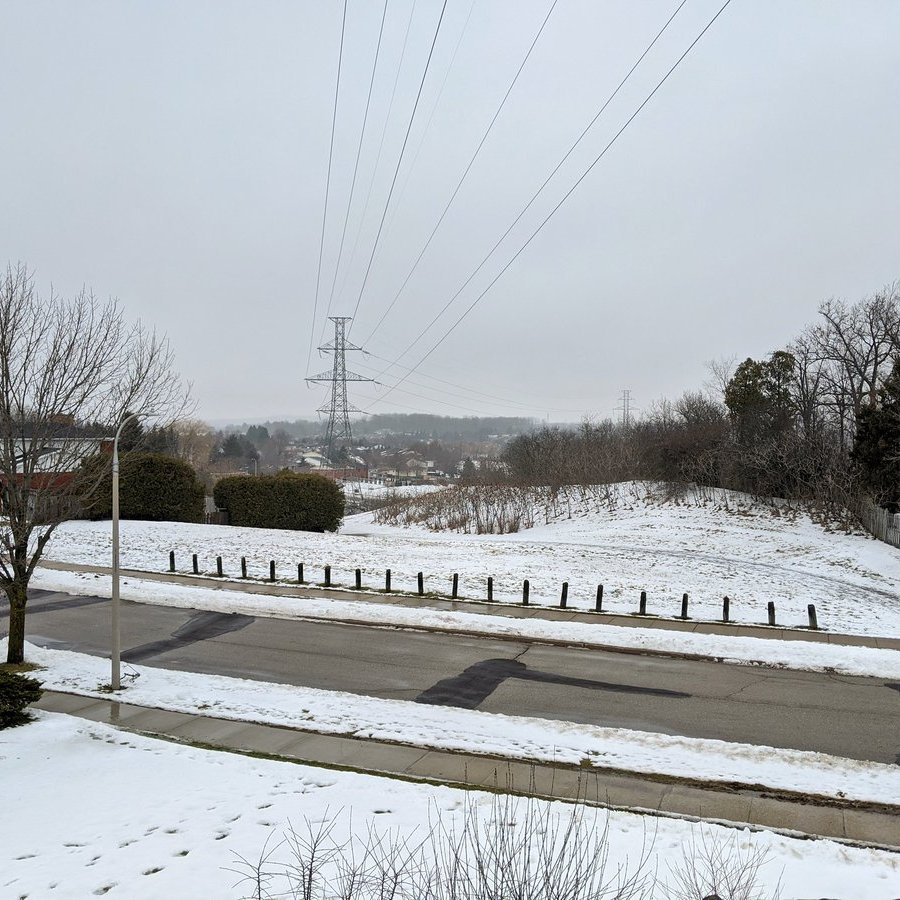
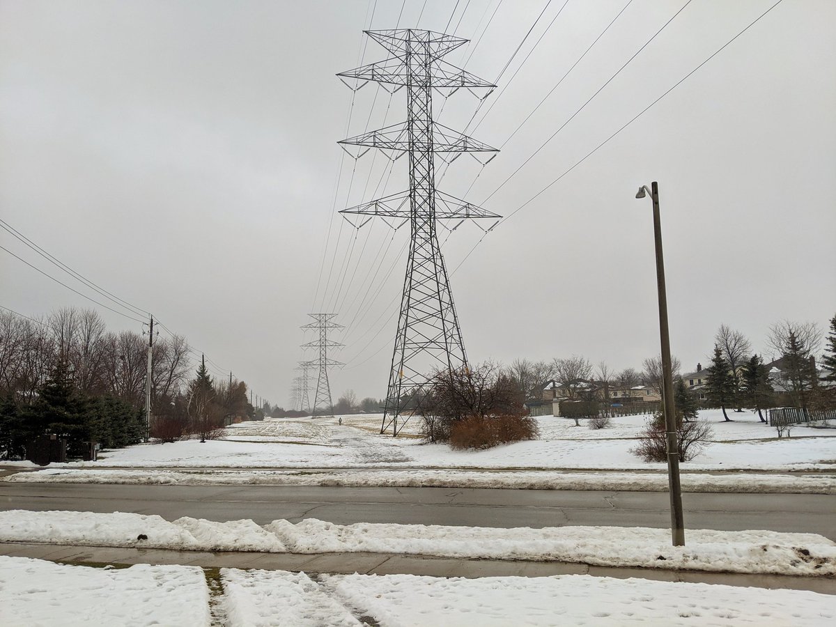
And over hill I have travelled, along the hydro corridor and past 7 schools now. Not sure if this was planned, but this trail makes for a great way for kids to walk or bike safely to and from school.


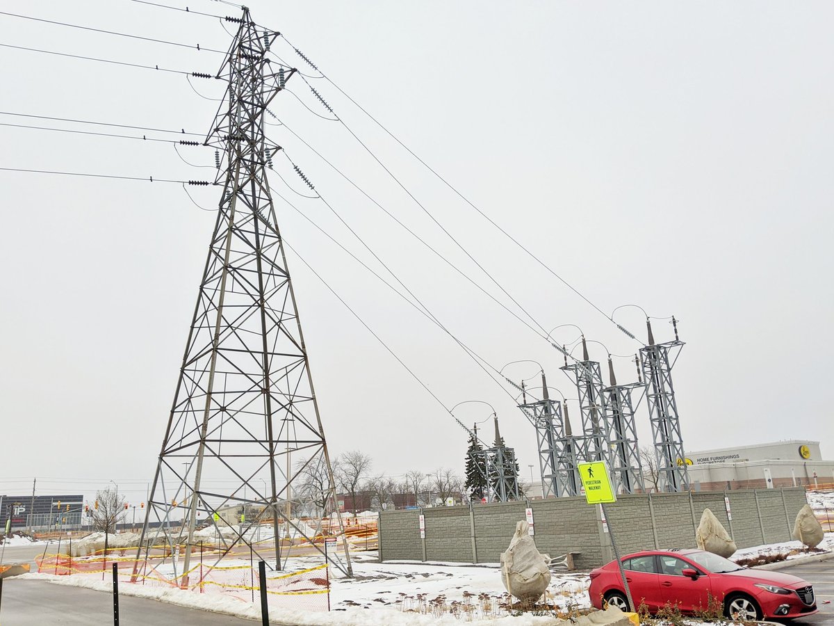
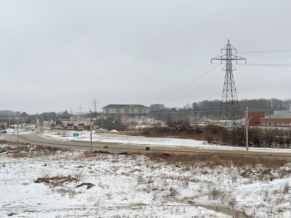
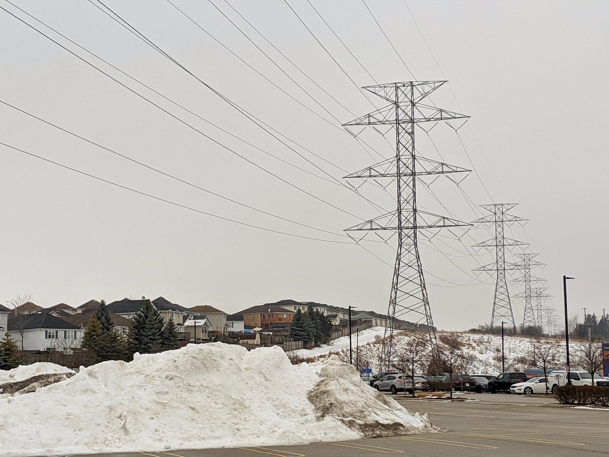
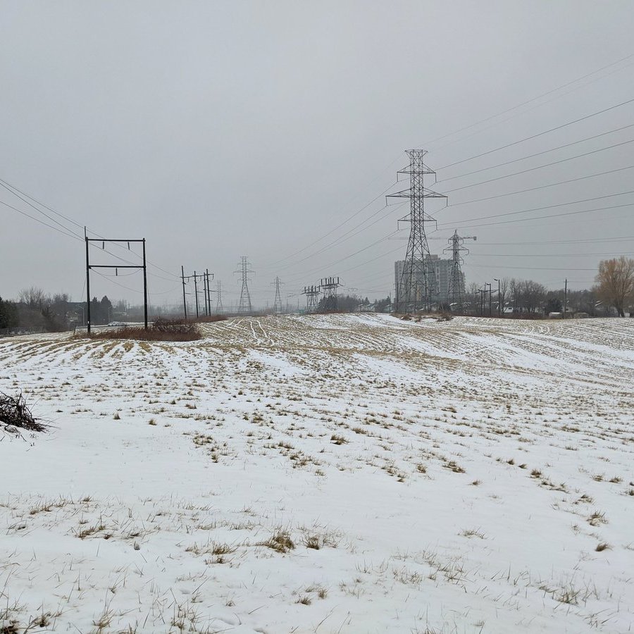
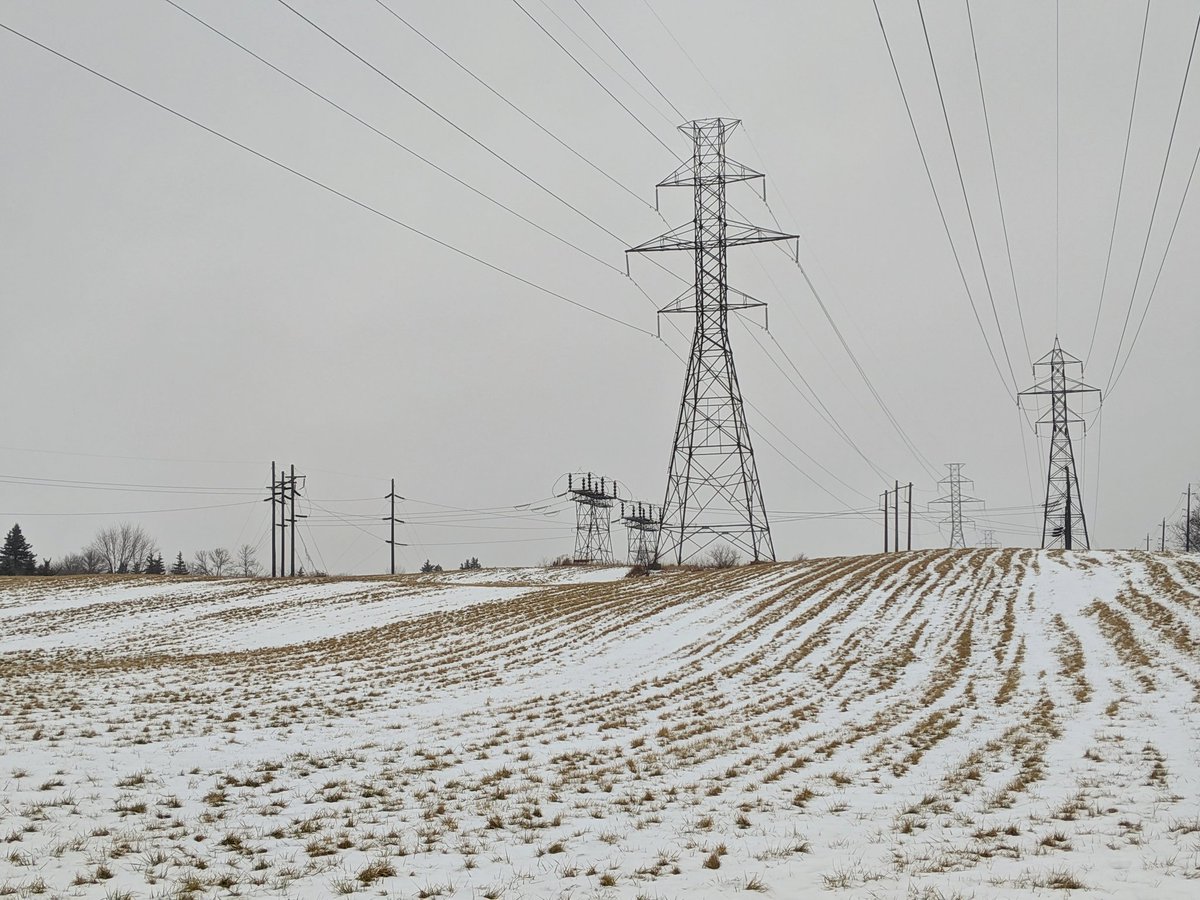
Eventually the hydro corridor comes to the Sunrise Centre, where it meets a transformer station. The number of lines doubles from 6 to 12, so this must be a significant distribution point.


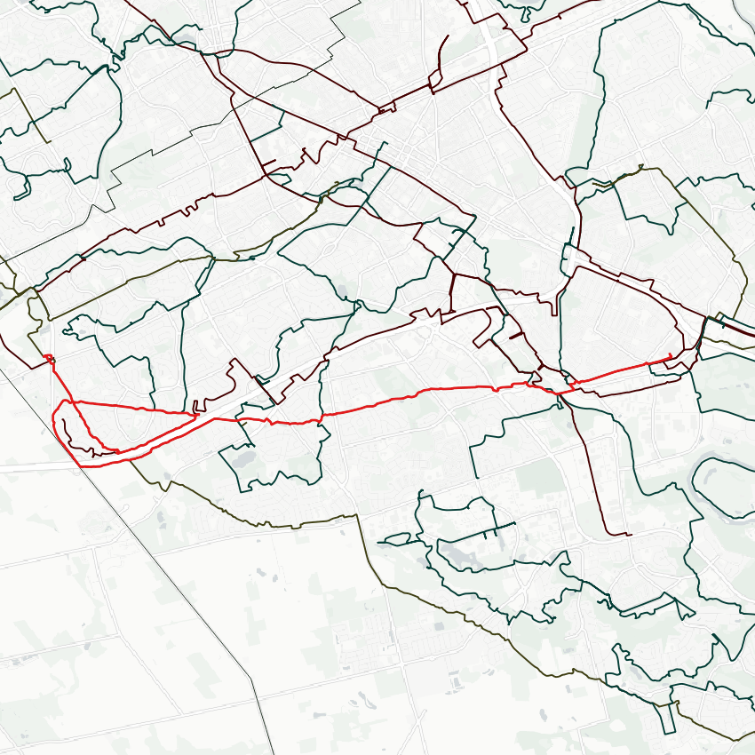
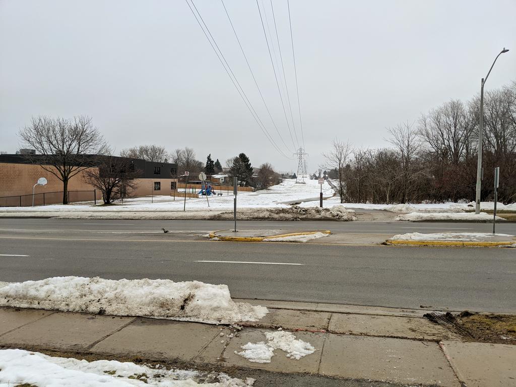
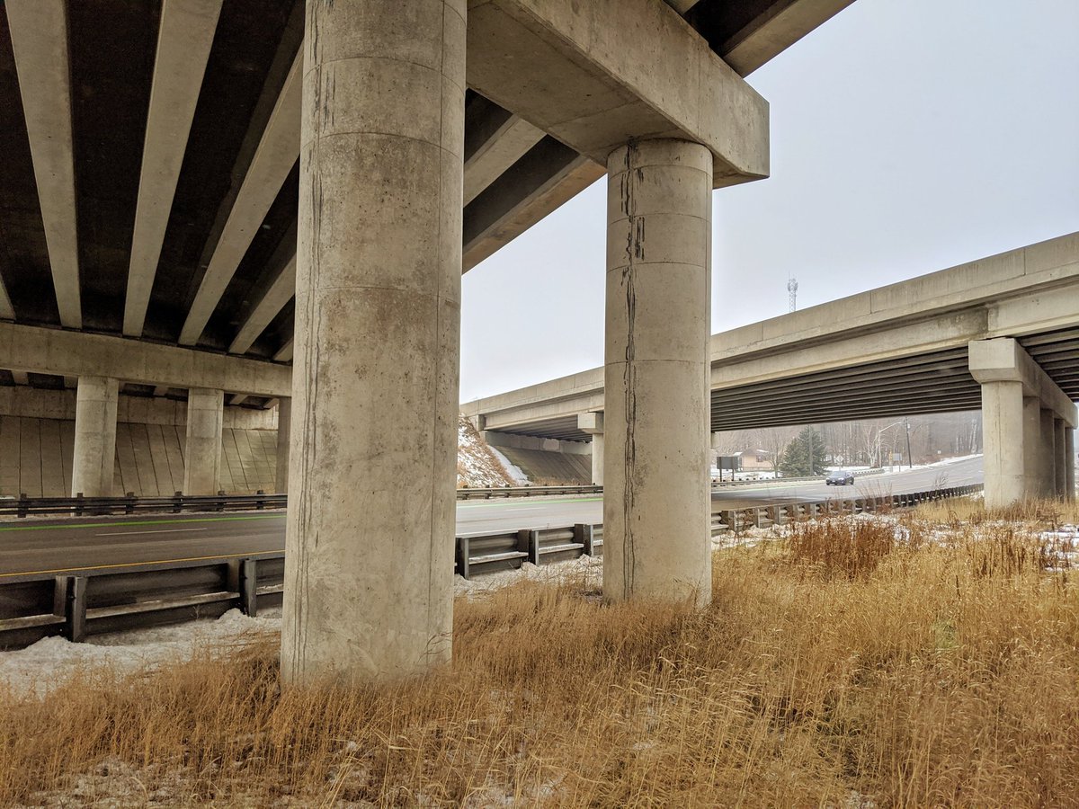
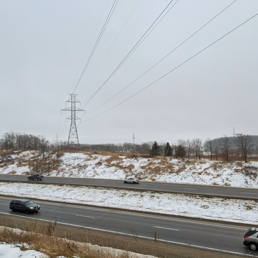
So now I’ve come to where I ended my last walk. Both this corridor and the Kitchener West corridor cross the Conestoga Expressway. I’ll be making my way over to Ira Needles to get to the other side, and where both corridors meet to form what I nickname the West Trunk.
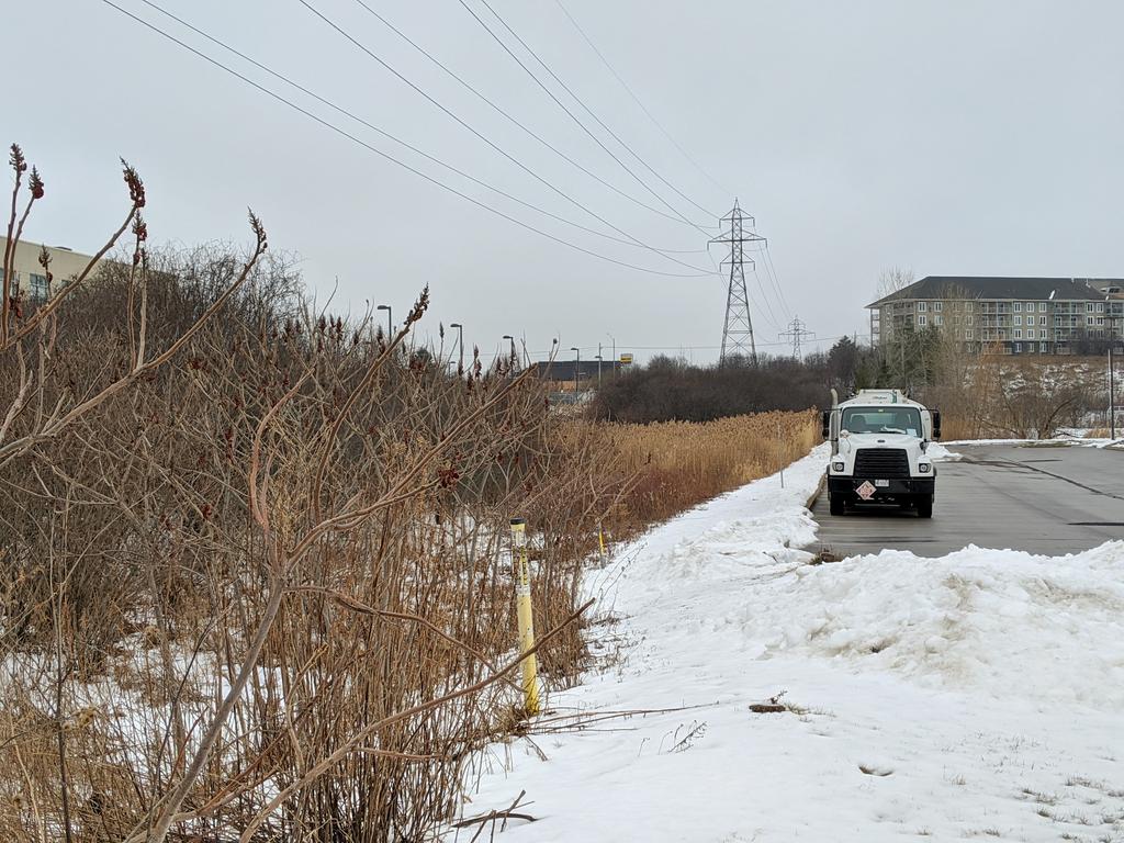
Lots of bushwalking on this detour, no sidewalks to save my socks.


Made it to the junction point. South: Kitchener West corridor. Southeast: the Kitchener corridor I’ve been following. Southwest: a small corridor to Wolverton. It all merges to go north along the West Trunk. Lots of cardinals, sorry.


K, gotta go in a circle on purpose. Backtracking south along the Kitchener West corridor back to the expressway. I’ve now covered this corridor in its entirety (within the Tri-Cities borders). Heck of a grade change.

Interlude through some expressway side woods.


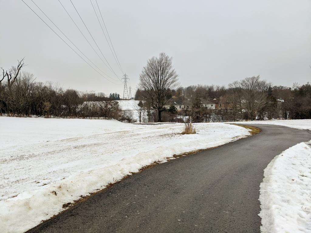
Now back at the original corridor, where it crosses the expressway. There’s a formal trail, but it’s a soggy go. Between being peppered by precip changing between snow / pellets / rain, and snowpack that’s saturated and unfrozen, conditions are not ideal.


Circle complete, and back through the junction point. The West Trunk isn’t even at its ultimate form, there are other corridors north of here that feed into it. But I’ll be ending my walk at Highland Road today.


Date: January 26, 2020
Length: 16.9 km
Type: Utility