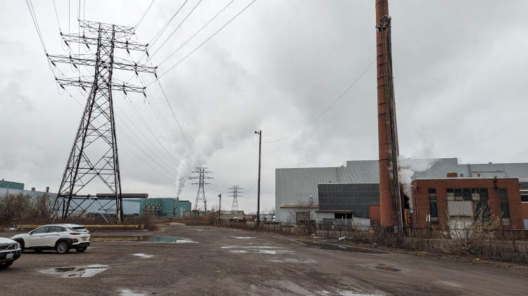
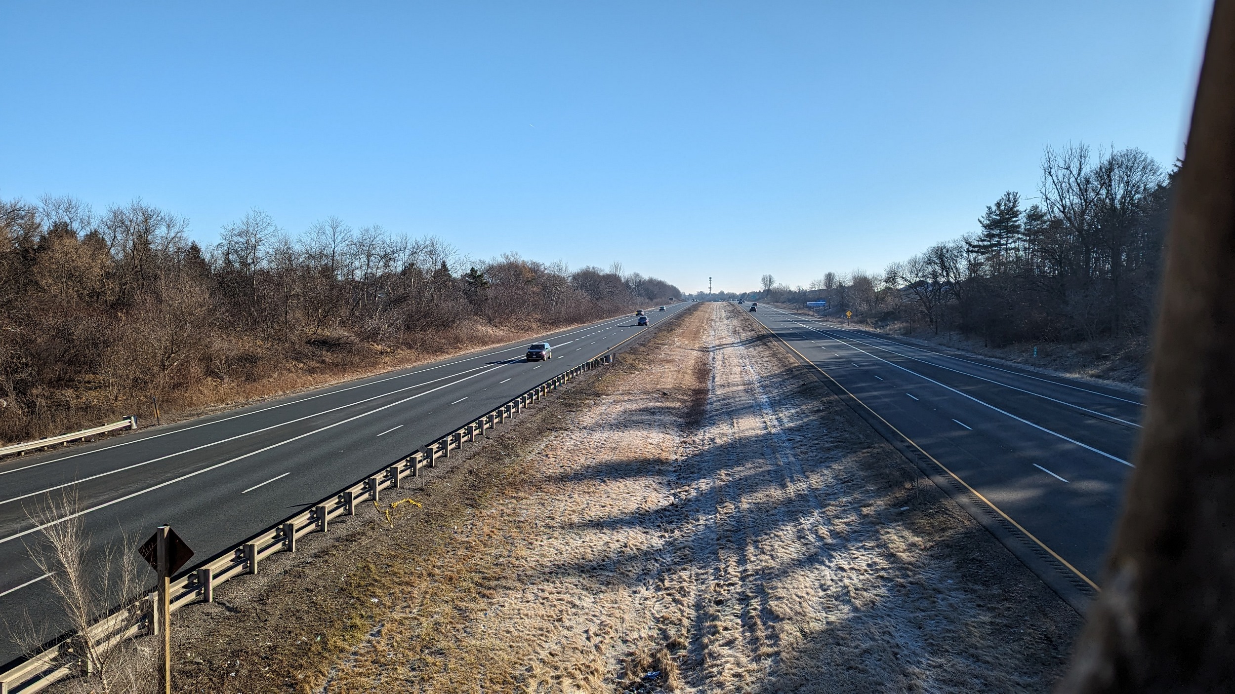
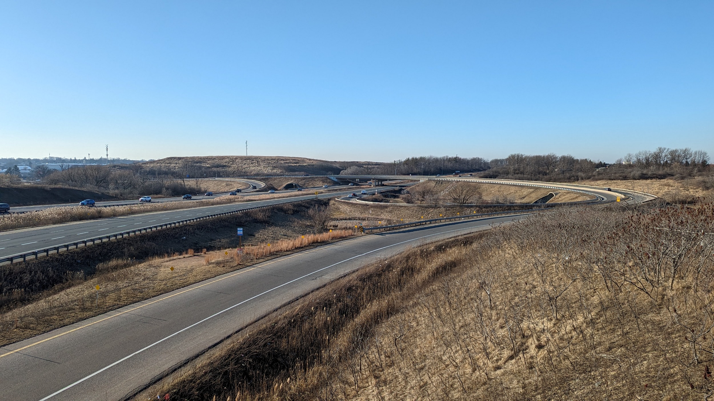
Good morning from west Ancaster. Today I’ll be zigzagging over, under and next to a couple Hamilton highways. I’ll start here at the 403-Wilson interchange, and head eastwards. Let’s go.


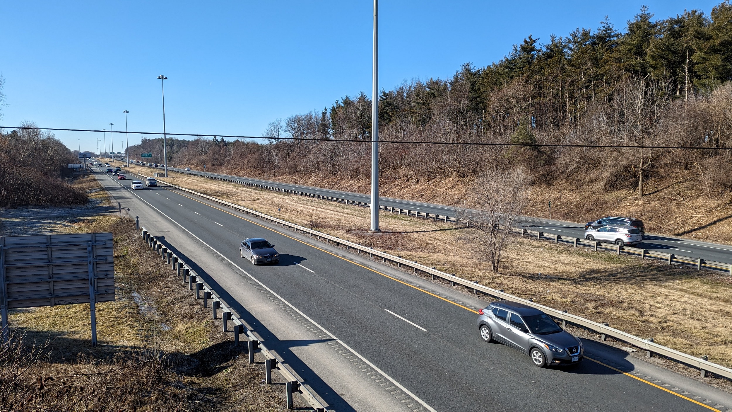
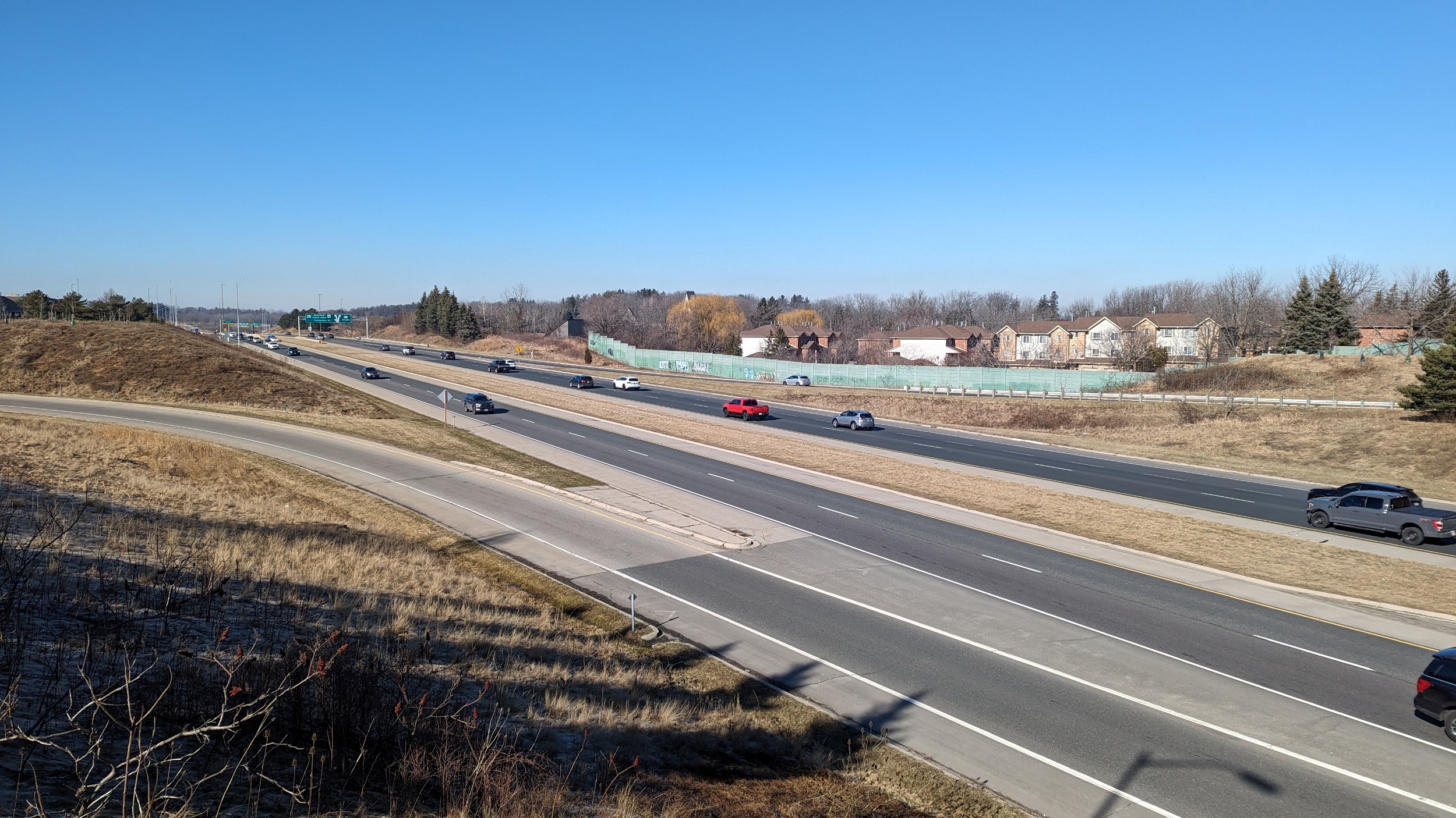
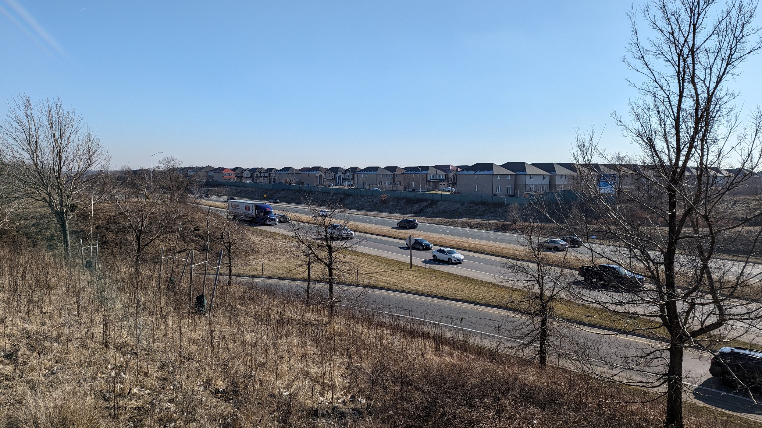
Provincial highway in the suburbs. Wide right-of-way flanked by backyards. The Fiddler’s Green interchange has an offramp that dumps you right onto a neighbourhood street.


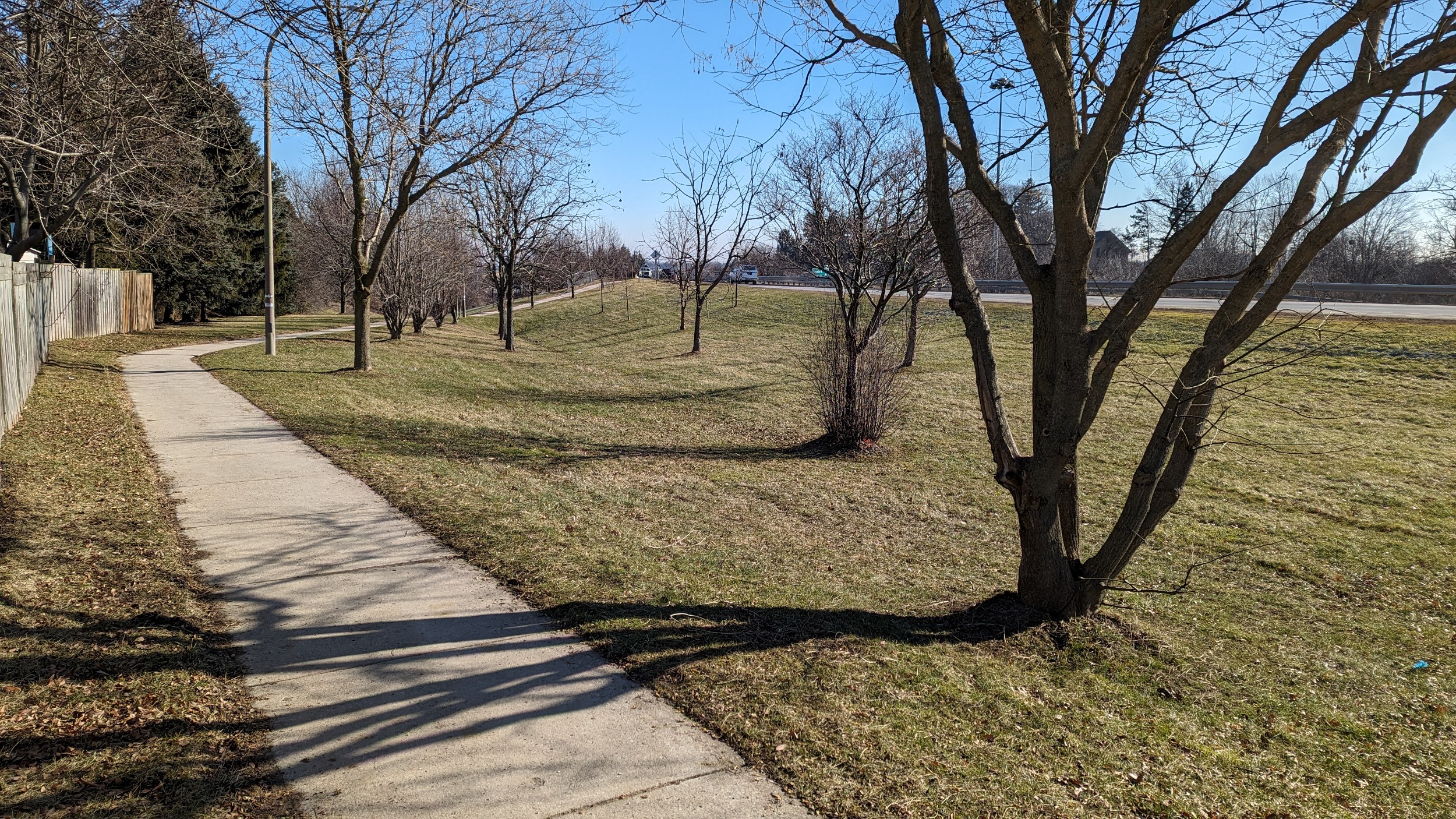
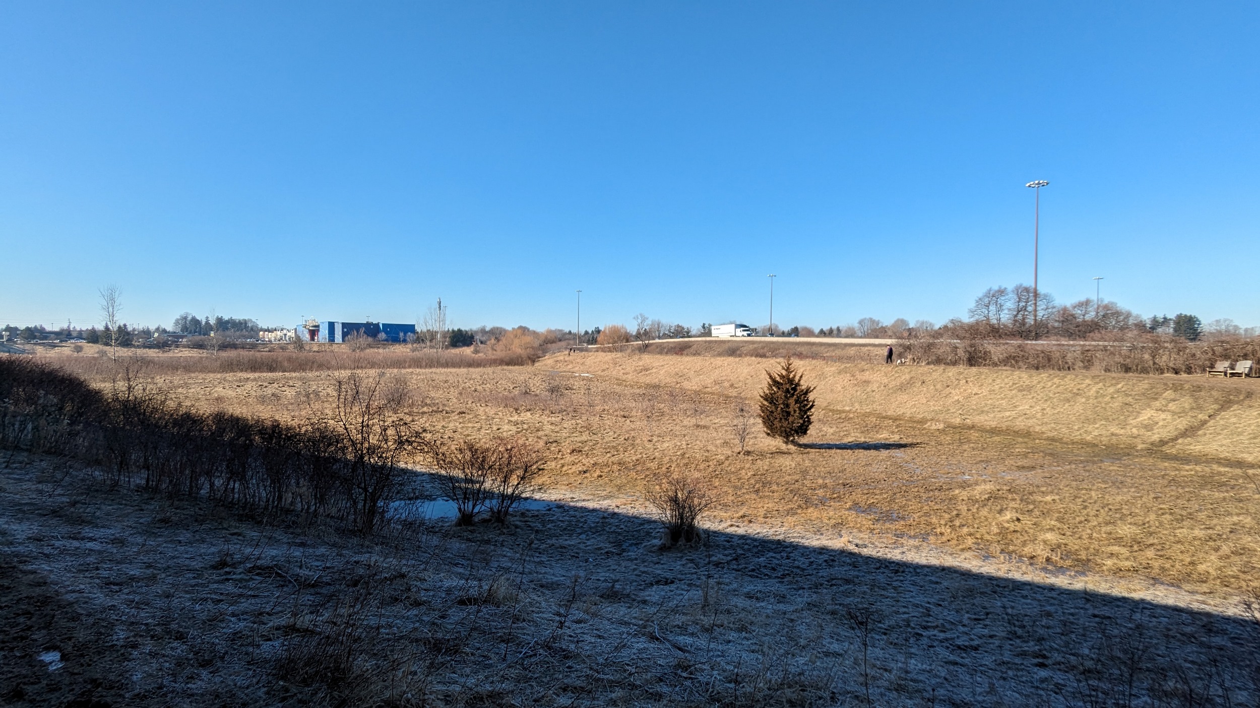
Neighbourhood park tucked in a corner near the 403-6 interchange. But there’s no direct connection into provincial lands held for the highway, not even to get to Silver Maple Drive or enjoy some of the woods. This is where highways have inefficient land use that could easily be unlocked.

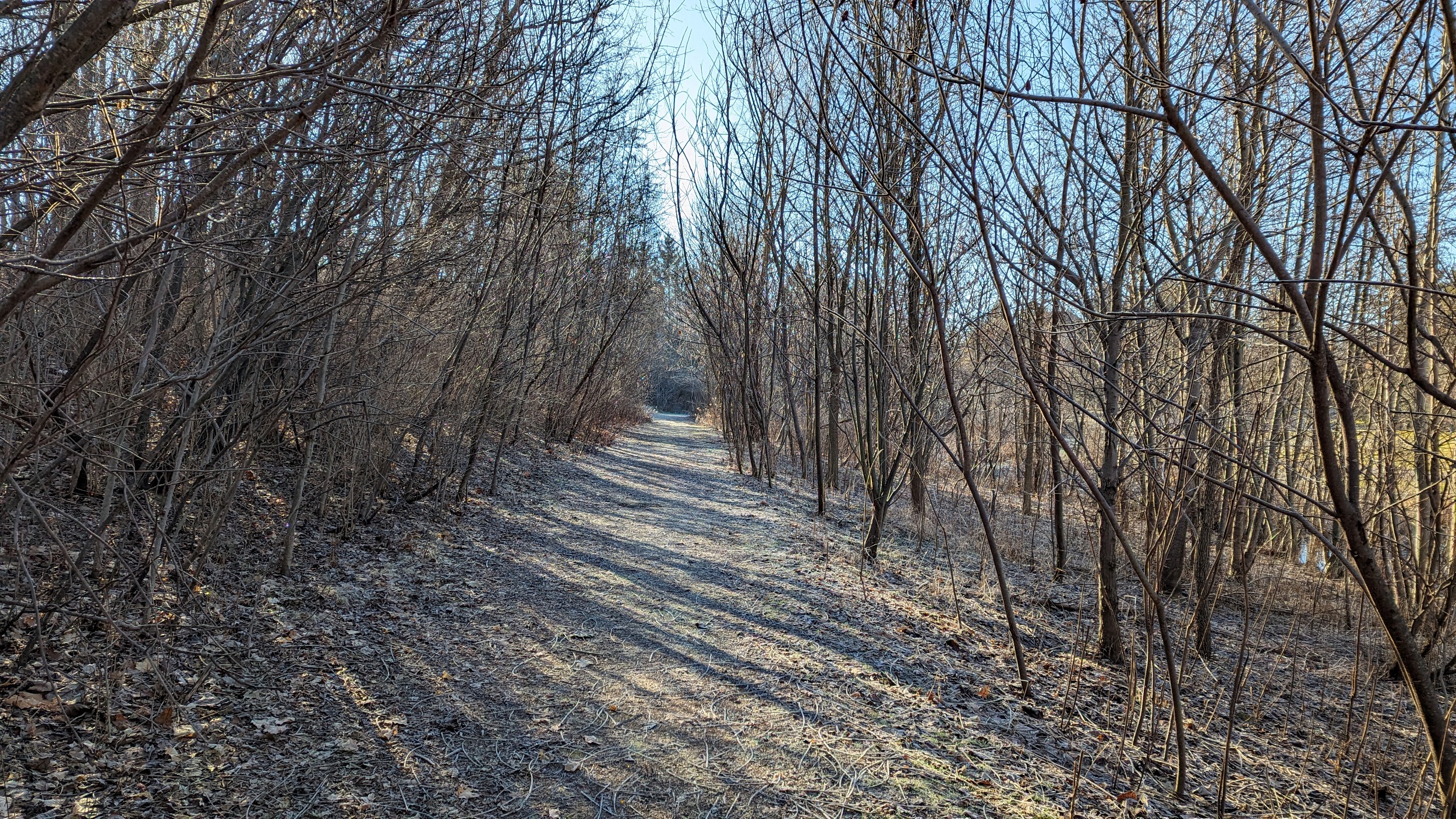
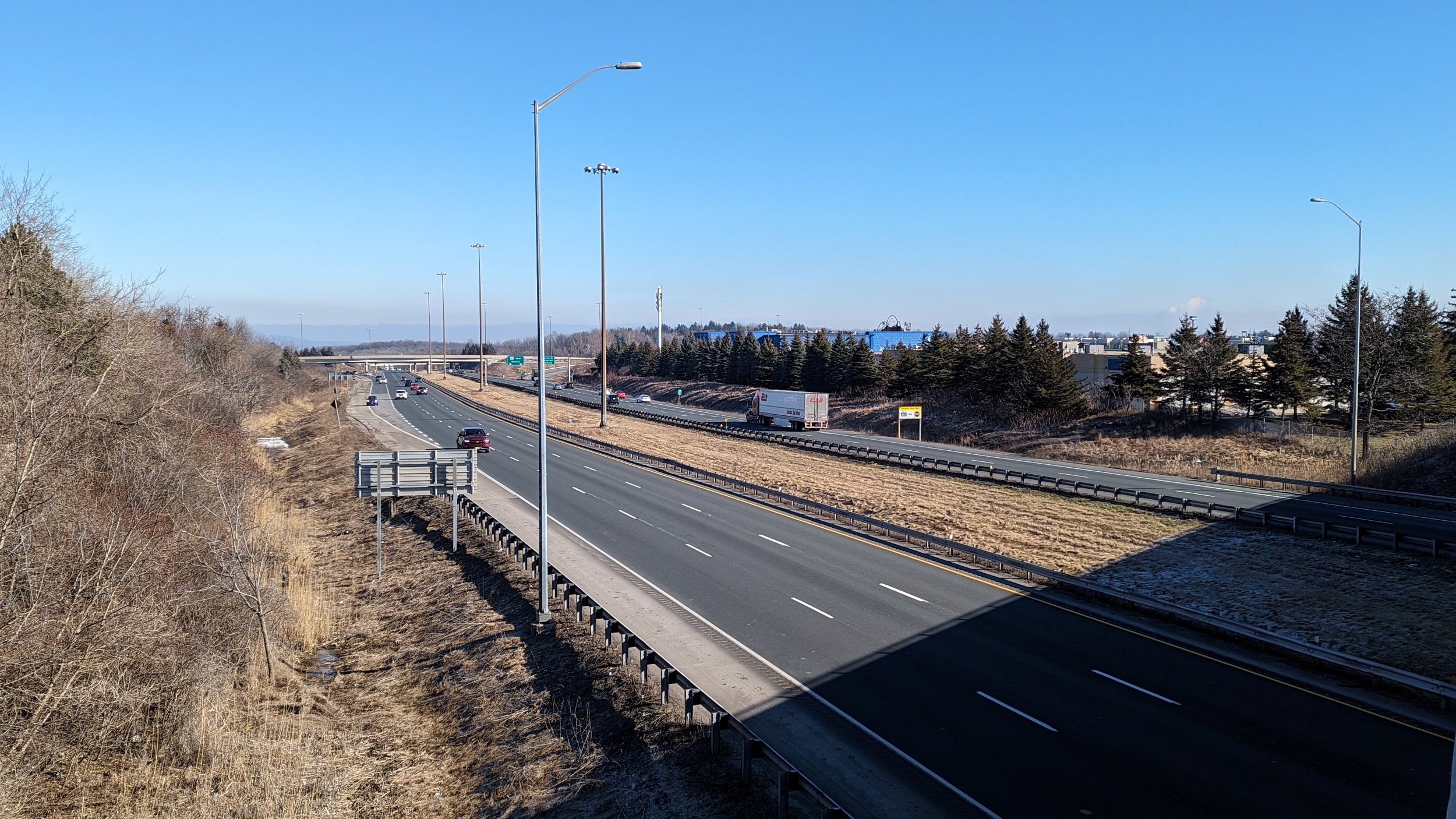
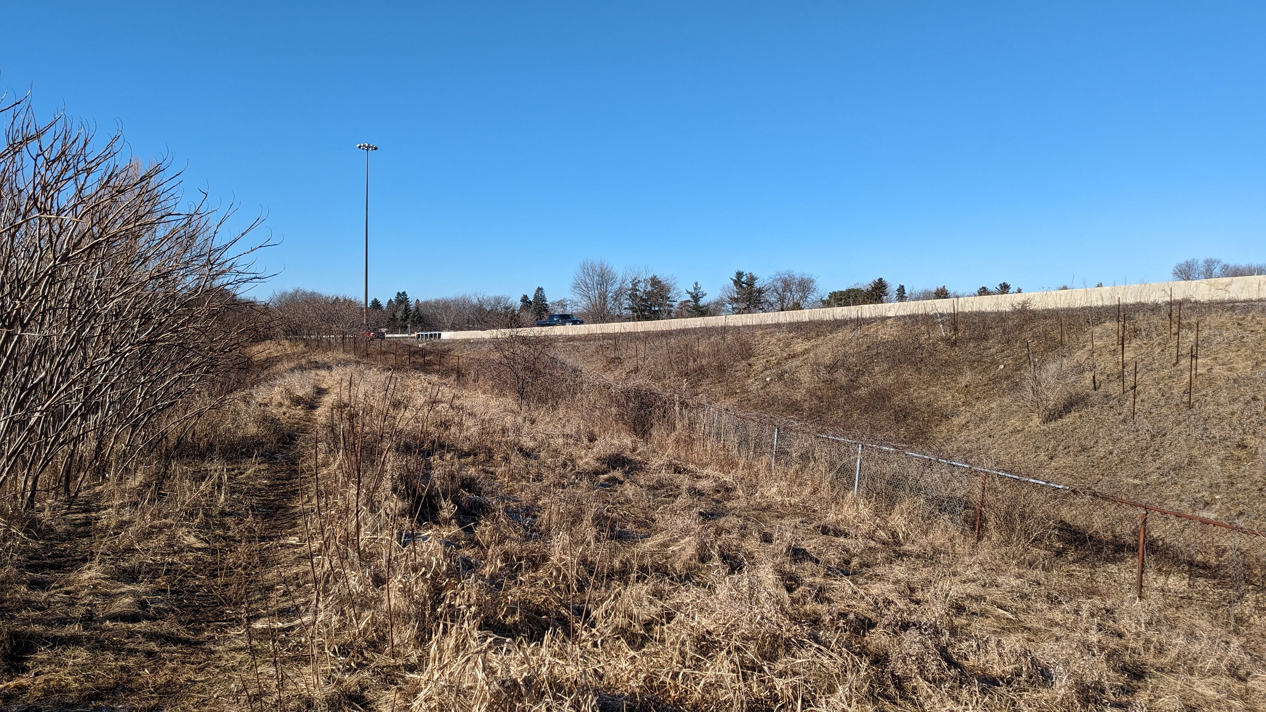
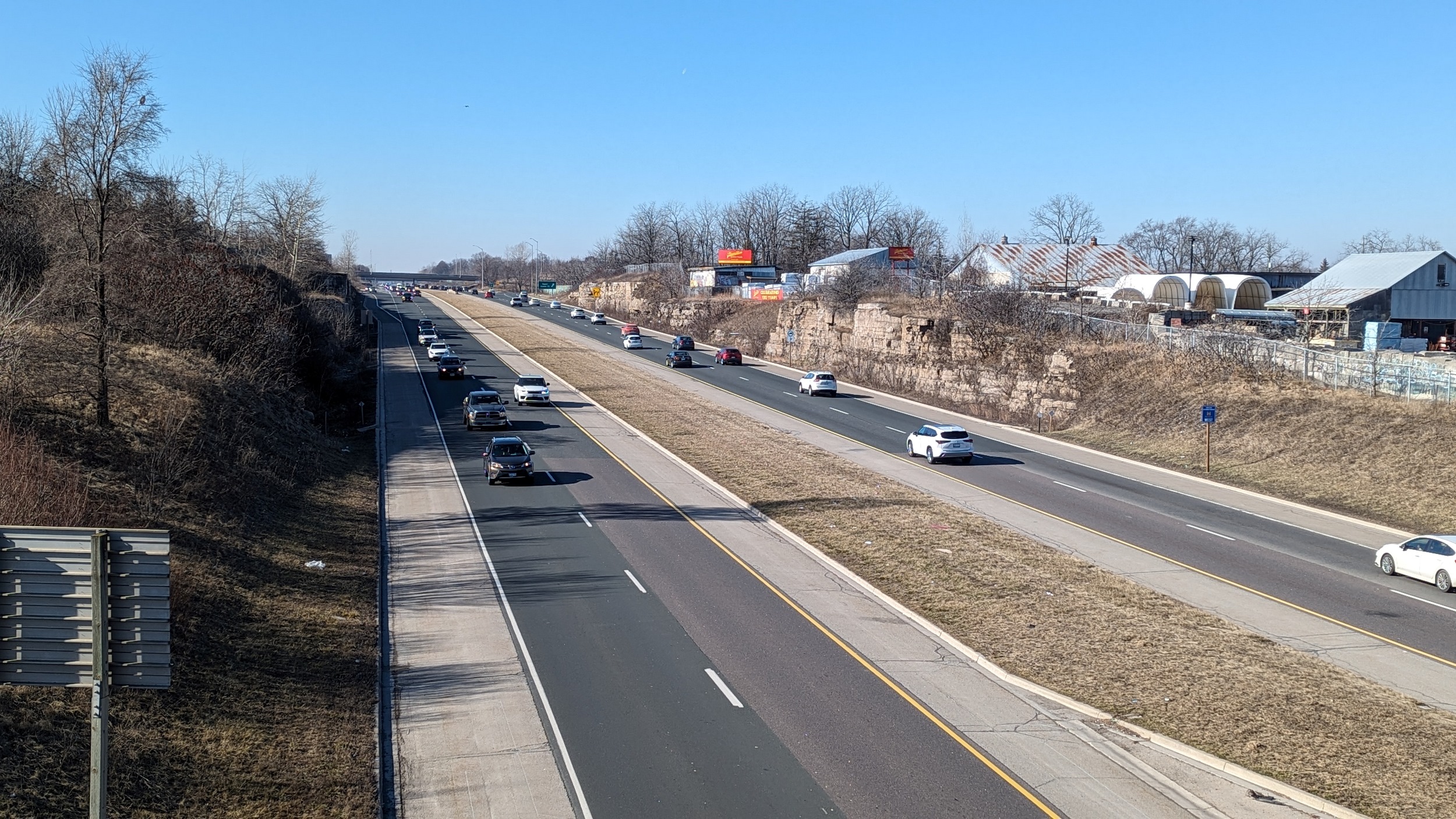
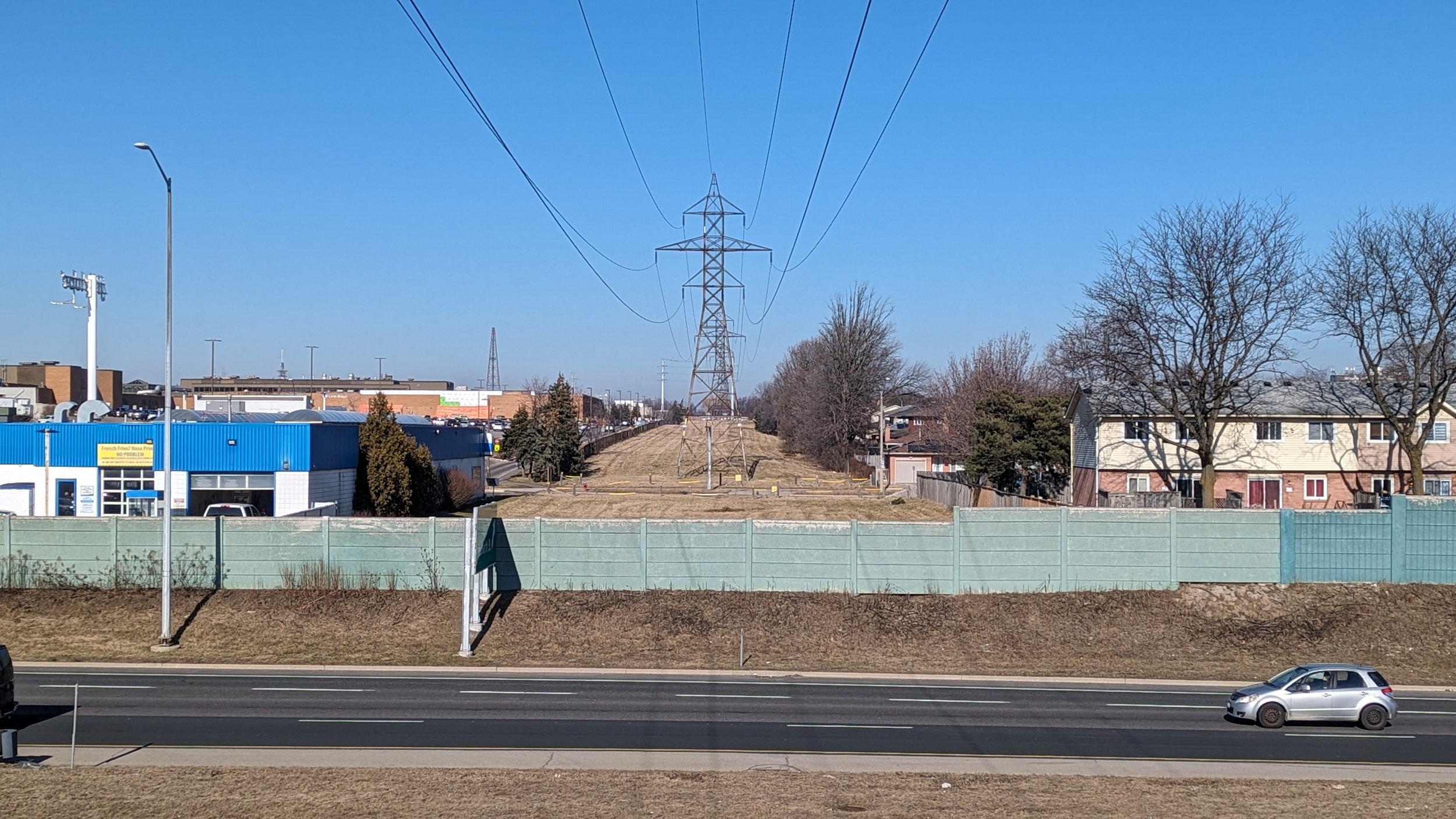
Around the stub of Highway 6, to the east side, and back up close to the 403. A stormwater management pond that’s “not for recreational use” flanks the one side. Bridges over the highway with no interchange still use a ton of land.

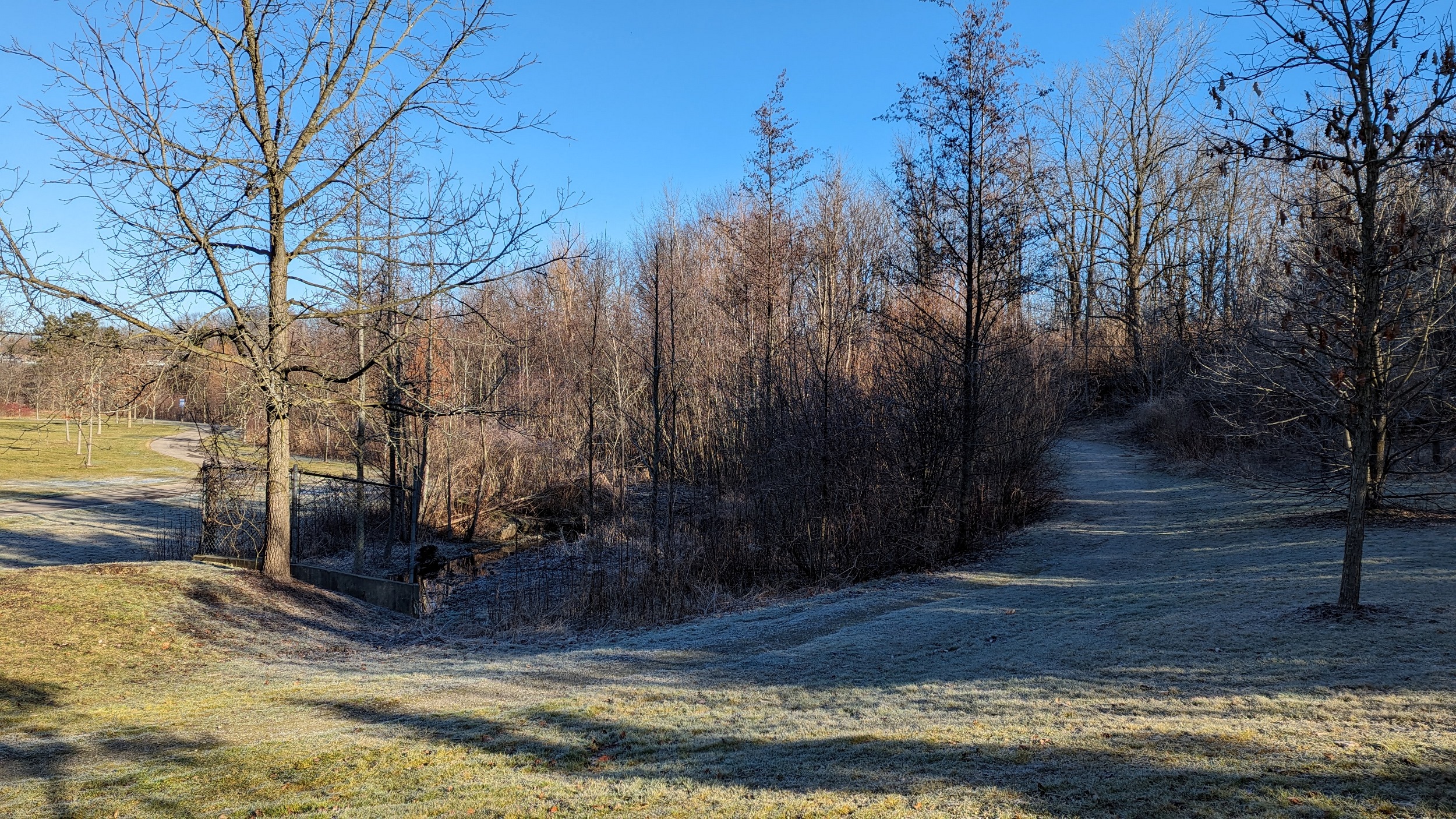
At the 403 and Lincoln Alexander Parkway (LINC), there’s a great big pit that must have primarily been for stormwater management. But it’s also a dog run named after Cpl. Nathan Cirillo. This is a great use of open space. My only qualms: trails are mucky messes, and there’s almost no access points.


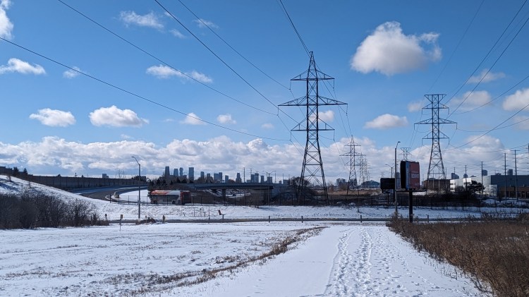
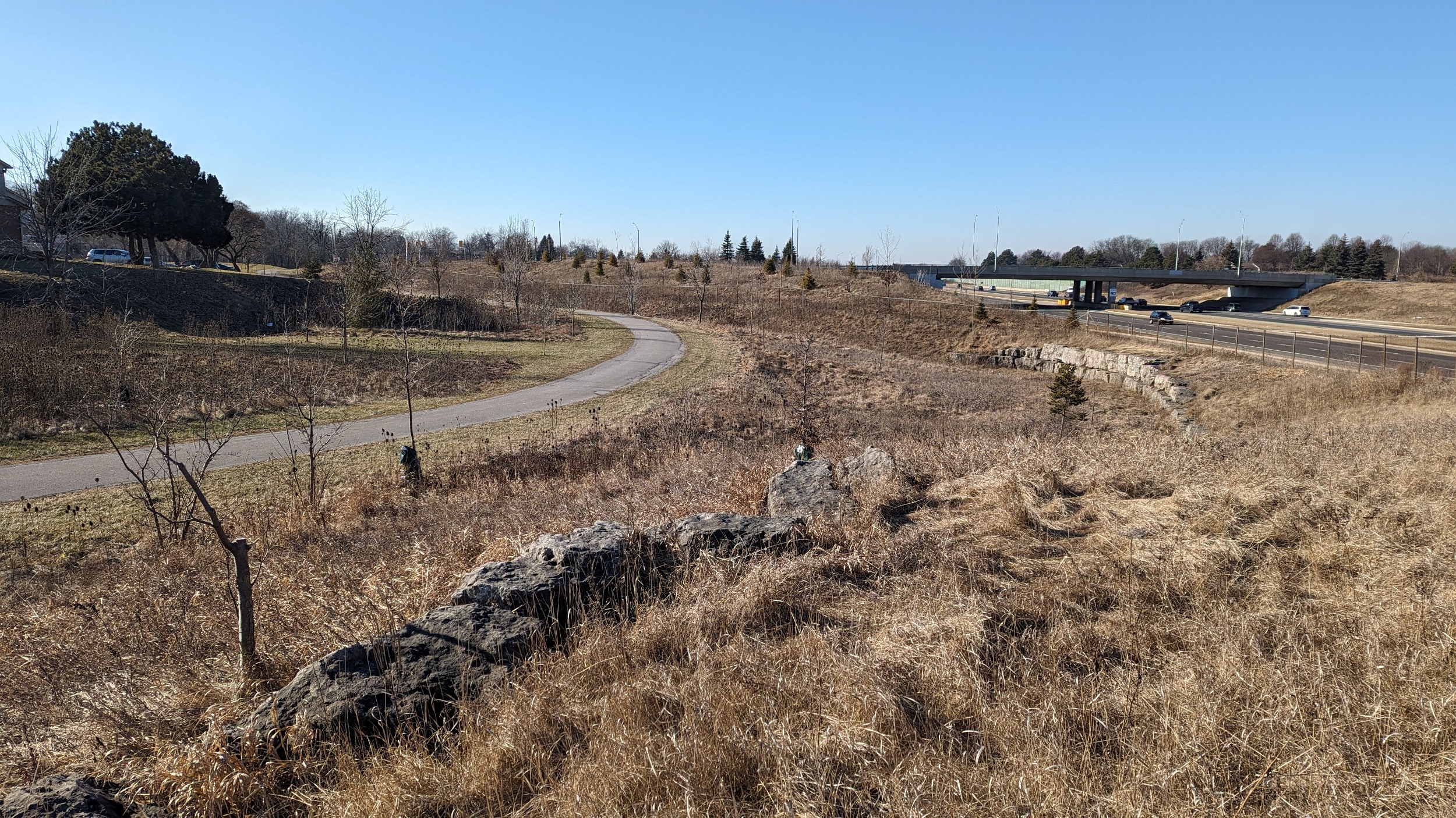
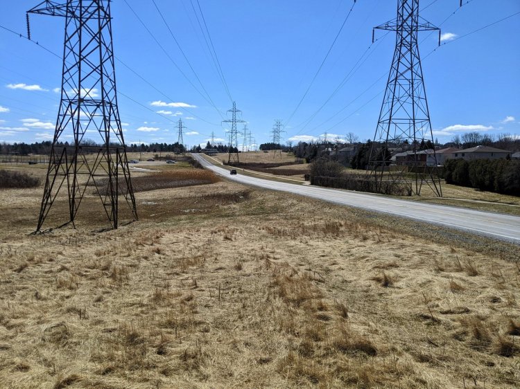
Over the LINC at Mohawk Road, and after a detour, you come to a hydro corridor that splits into two branches. A massive open space adjacent to the highway, with poor connectivity. Given how the towers are situated, this is begging for a pedestrian overpass and formal trails.


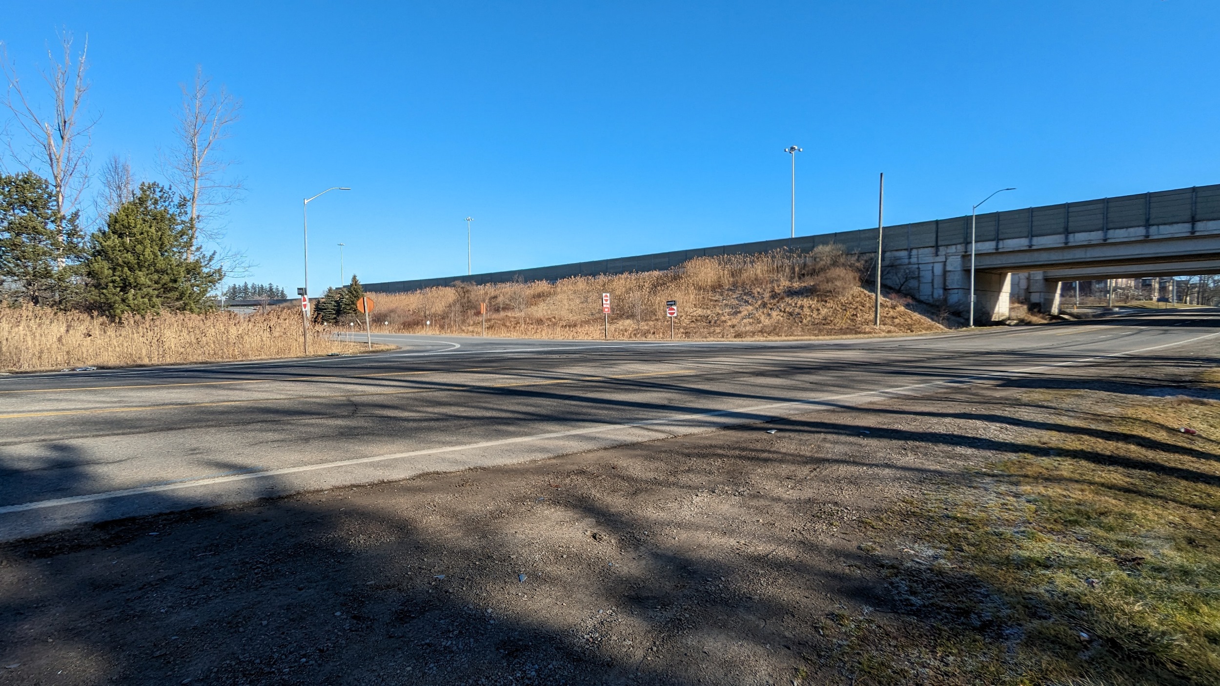
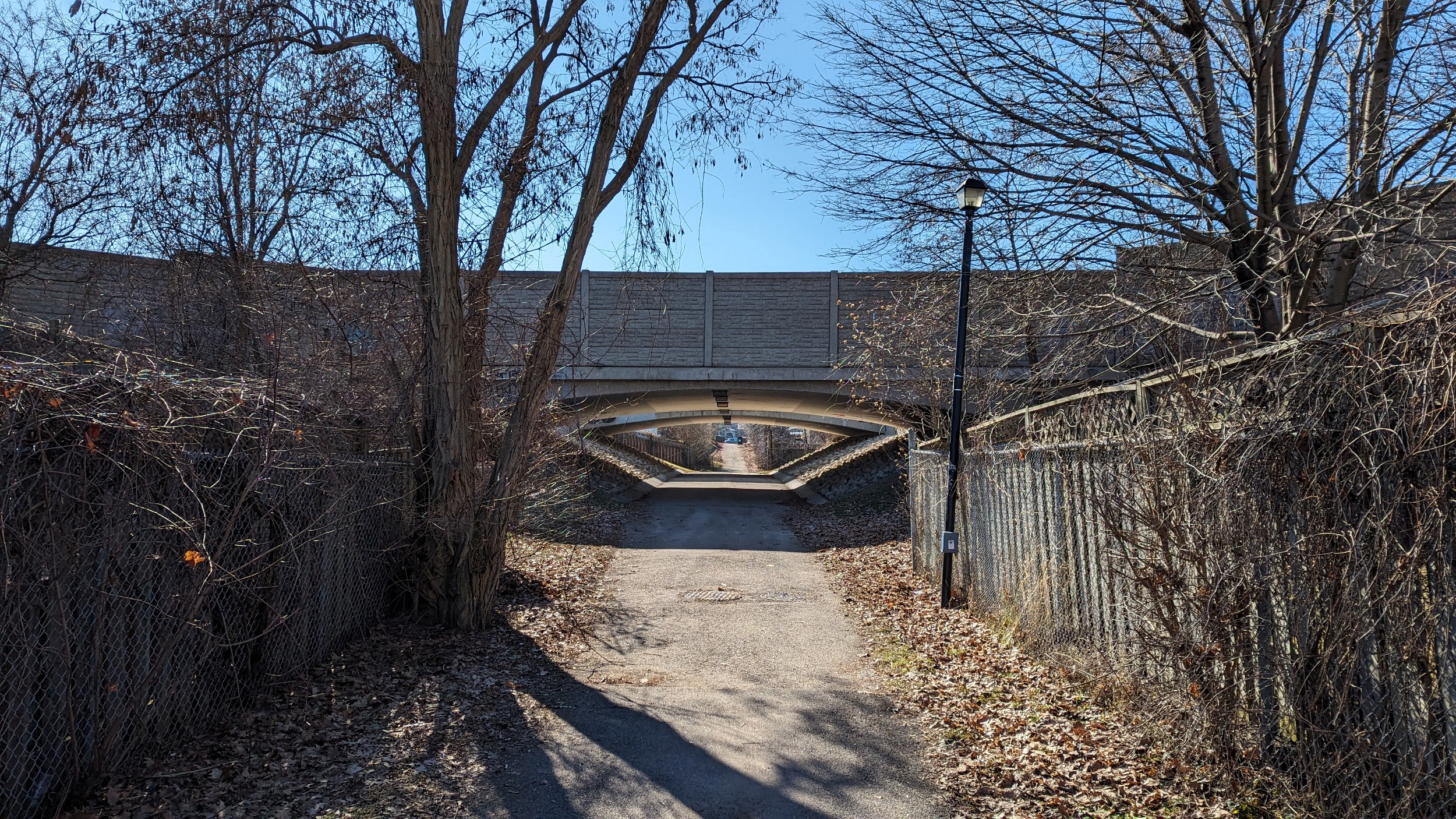
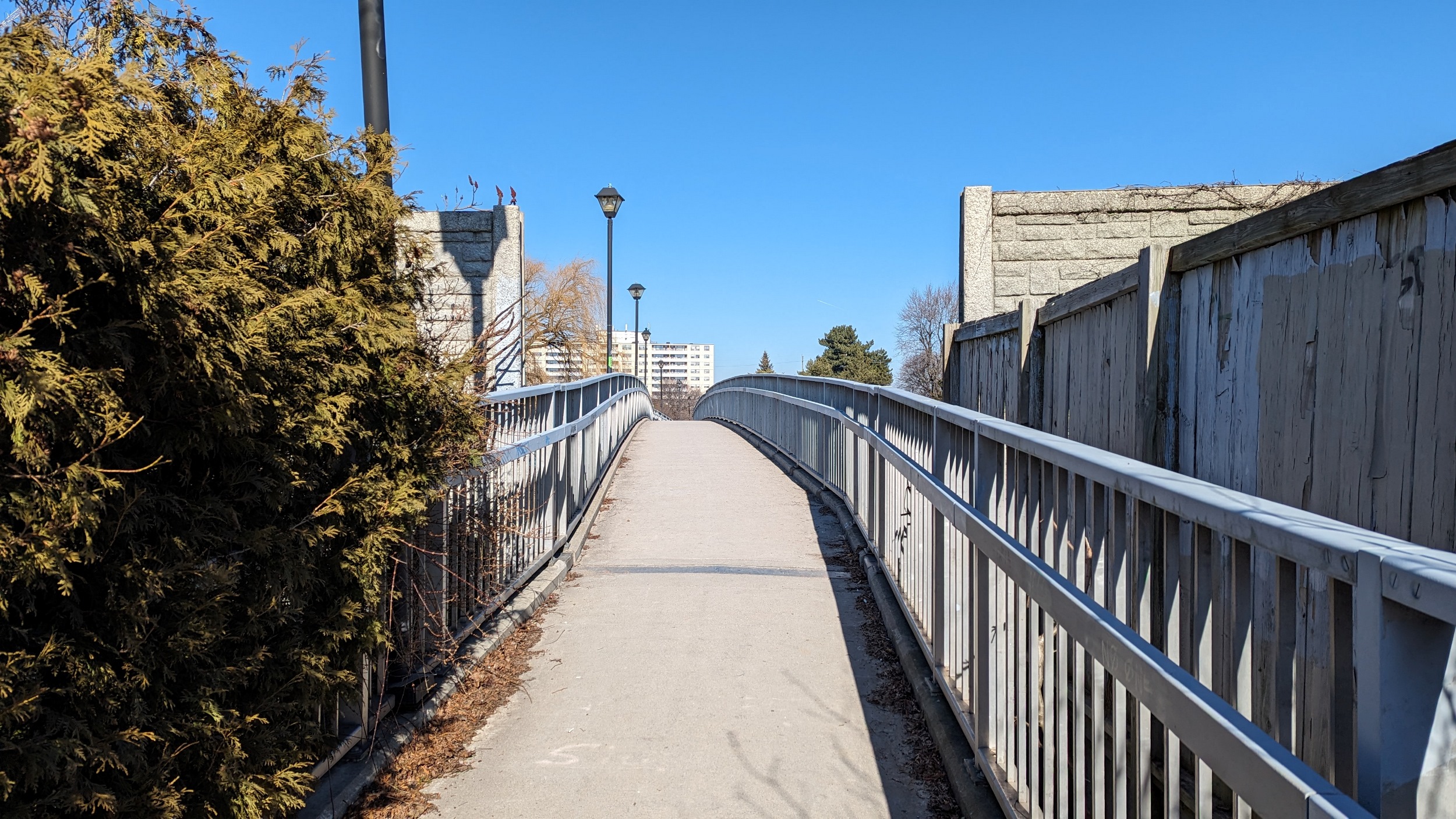
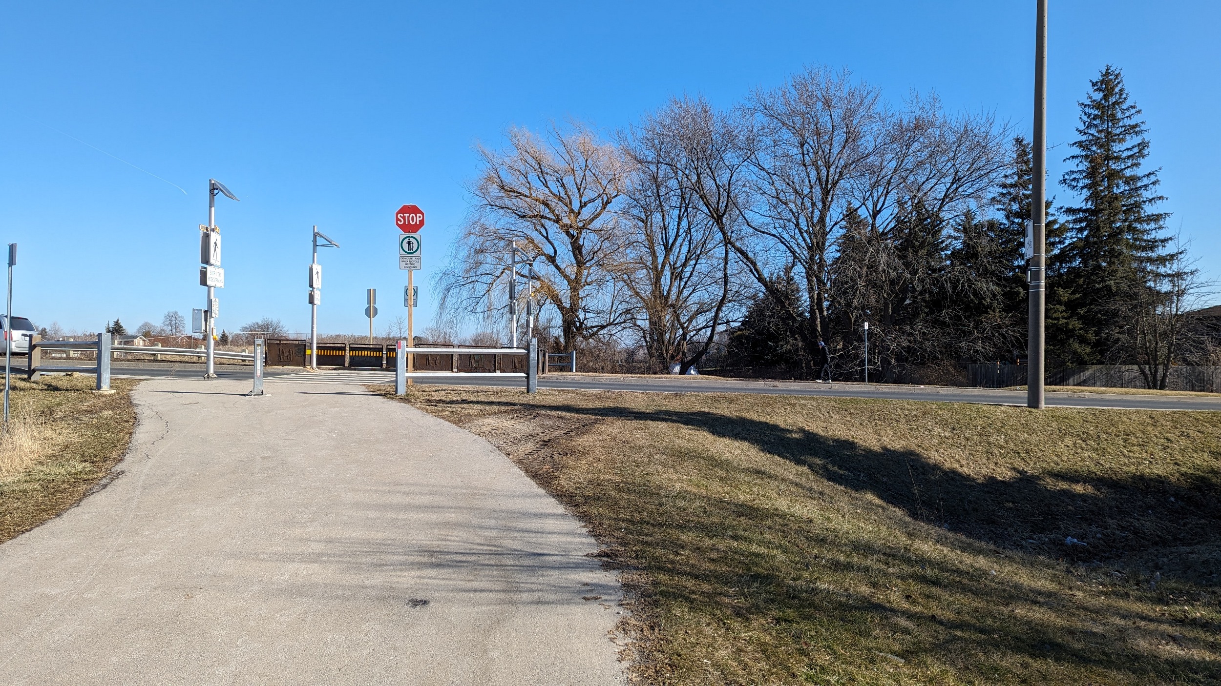
I thought the hydro corridor would link up to the cul-de-sac at Upper Horning Road, but I was wrong. A big detour, but then, after so many roadway overpasses and underpasses, I finally came to a pedestrian tunnel. Great little connection. More overpasses at Upper Paradise and Garth.

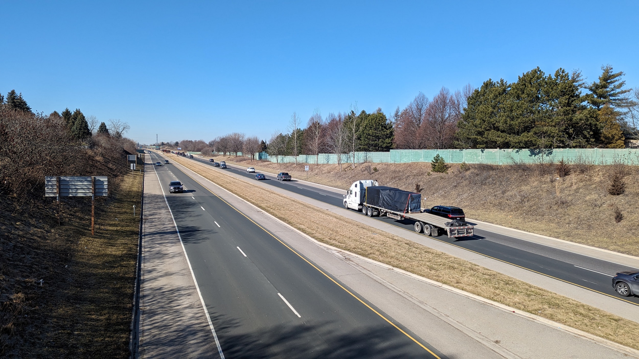

Another active connection, this time it’s a bridge. Then I stick to Limeridge for a bit, with a couple peeks at the West 5th overpass and Upper James interchange.


A little park connection from the interchange, I’m surprised they call it a park, actually. Then at the Upper Wellington overpass, a glimpse of how a) there’s a point where the LINC had to be cut into escarpment rock formations, and b) perfectly good open space is tied up in private ownership.
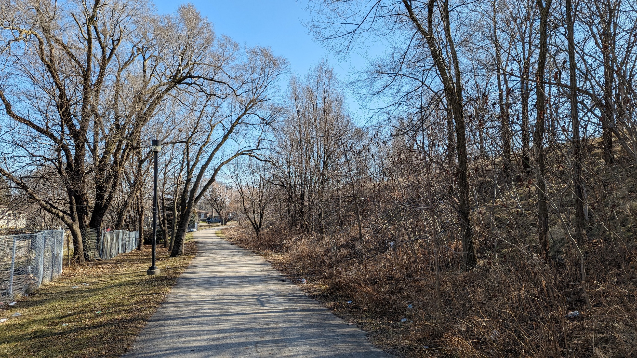

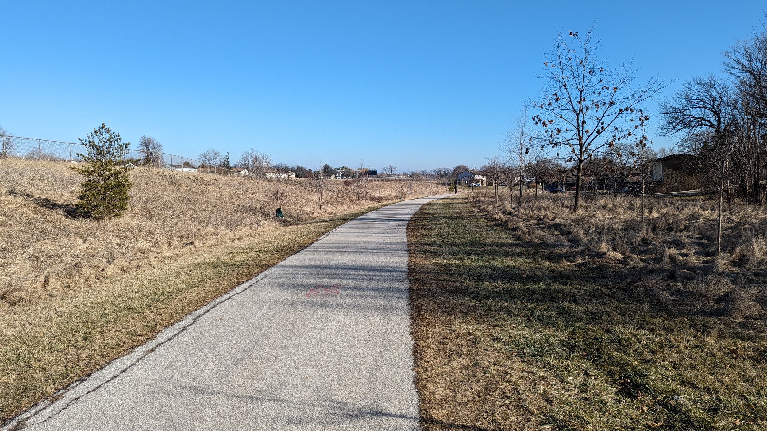
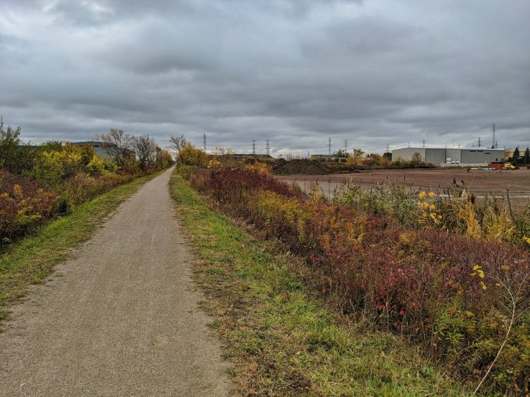
A detour led me through a woodlot with more minor rock formations. Then finally, southeast of the LINC / Upper Wentworth interchange, we come to a part I was looking forward to: McQuesten Park, and a series of green spaces adjacent to the highway.


Past a hydro corridor that is still on my to-do list. The park gets linear, stretching south of the LINC. It’s great open space, but it’s also a stormwater corridor for the Upper Ottawa subwatershed. A huge trunk sewer dwells below here, though I don’t know if this was where the creek used to flow.


Lots of clues to the drainage infrastructure along the way. But still a great space with some vegetation and neighbourhood connections. The trail continues to meander over the terrain.


The trail seems to now follow an obvious depression that must have been where Ottawa Creek used to flow. After snaking around a townhouse complex, the parkland ends at a large city road operations yard. Beyond the fence lurks the outlet for Ottawa Creek. Over the LINC again for now.


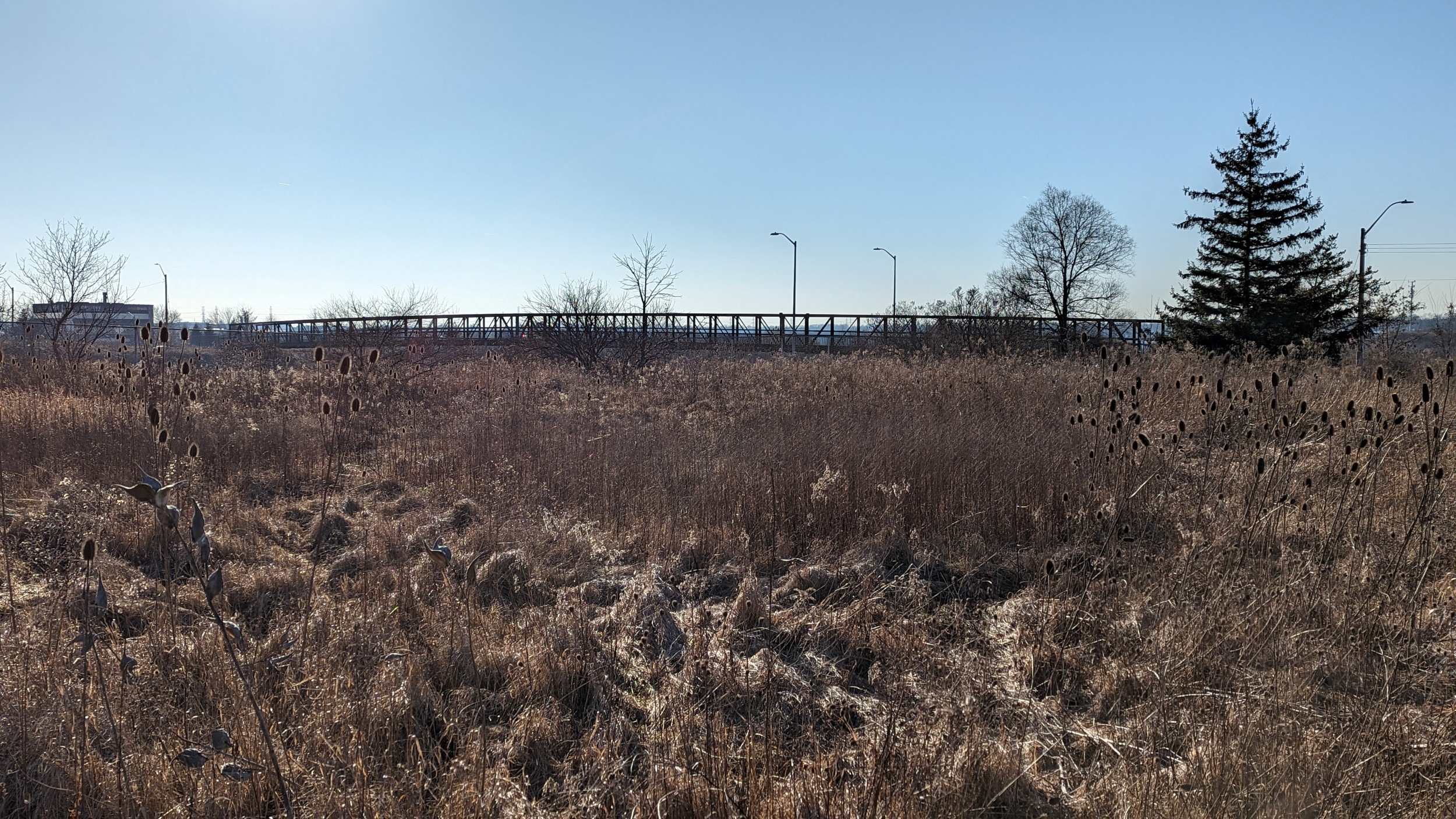
After cutting through a local park, you can reach what was a rail line. This is part of the Escarpment Rail Trail to the north and south of the highway, but the crossing is to the east. Getting back to the path will take you down across Red Hill Creek.


A brief glimpse west from the Arbour Road bridge, which gives you a look where Ottawa and Red Hill Creeks meet in the Darnell Road interchange. Then across Pritchard Road, where the LINC becomes the Red Hill Valley Parkway. That’s going to wrap up today’s walk.

Date: February 4, 2024
Length: 29.4 km
Type: Highway

Related Walks
Intersecting hydro corridor to the north and south
Dundas Mountain / South Trunk Hydro
Intersecting rail trail
Escarpment Rail

Intersecting creek and valley
Red Hill Creek