I posted video from this walk on YouTube, check it out below.
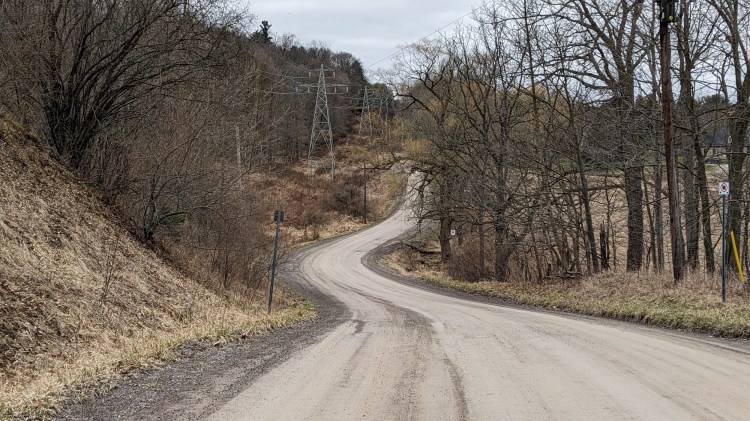
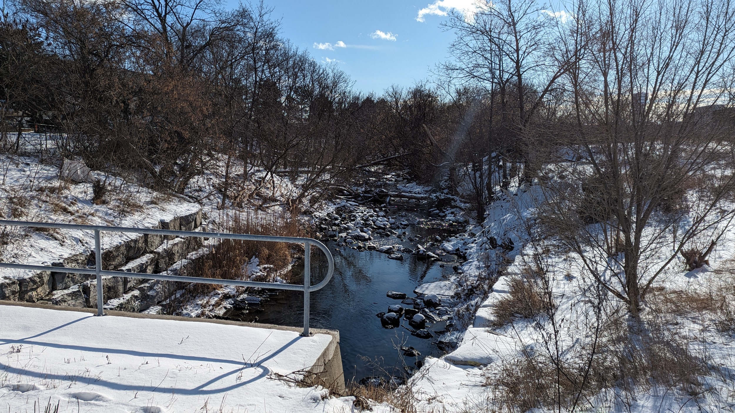
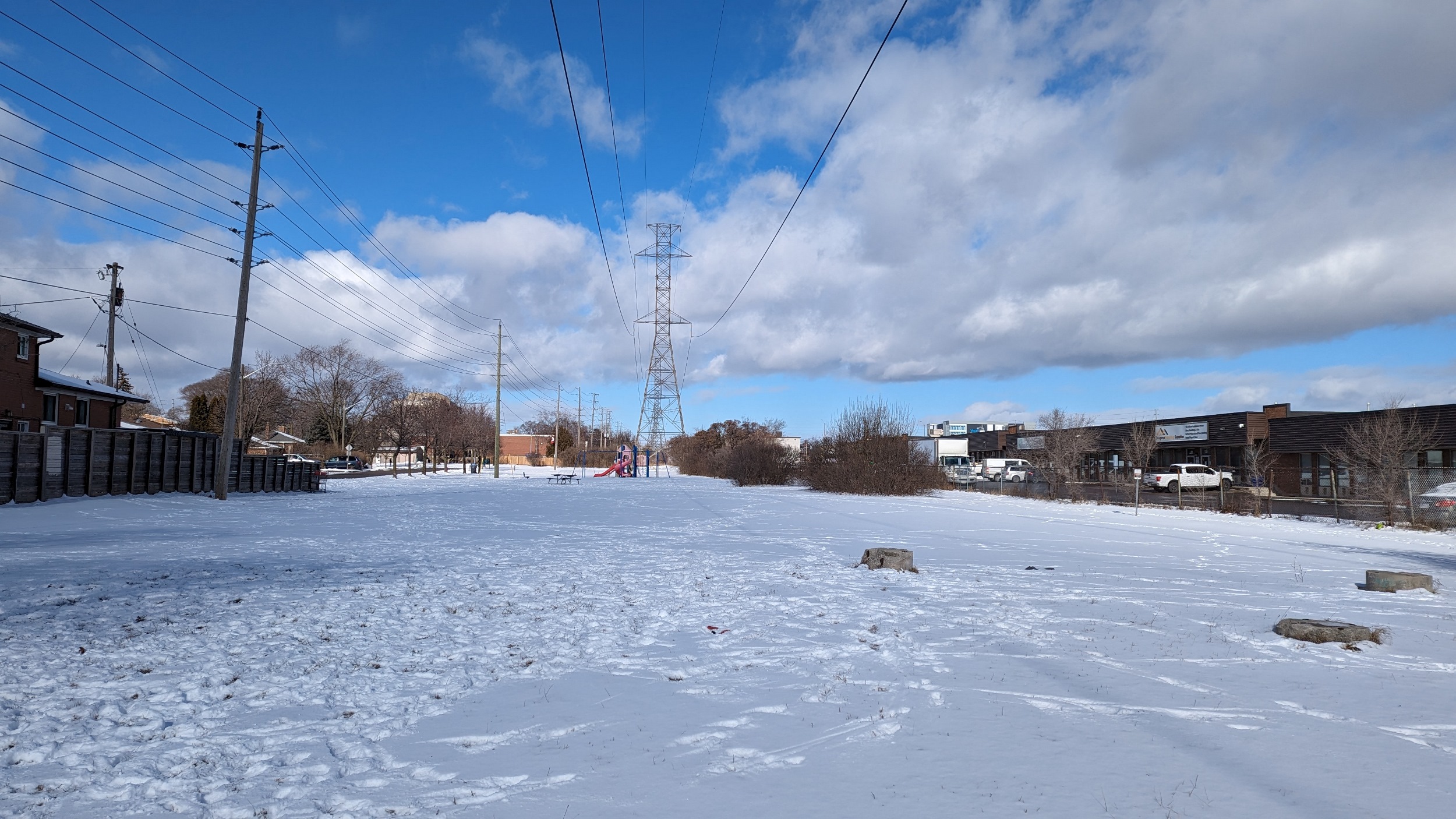
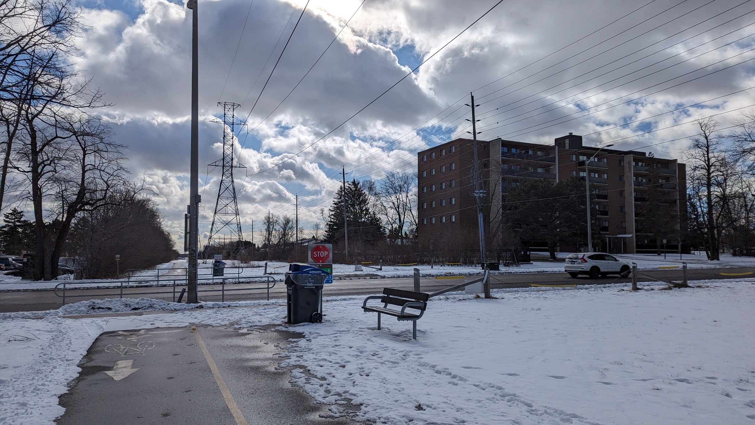
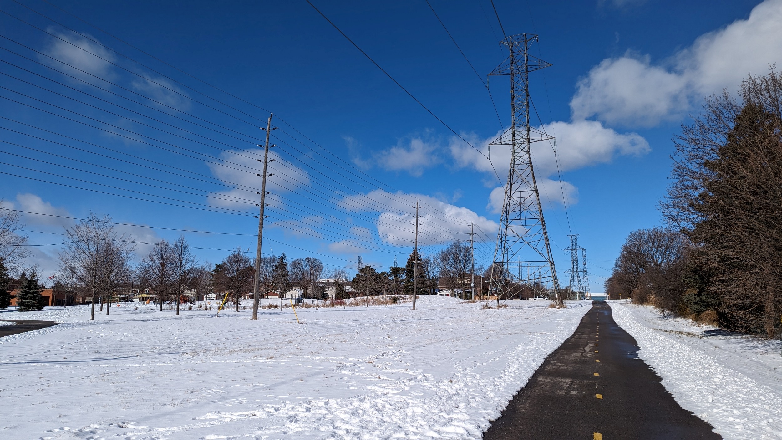
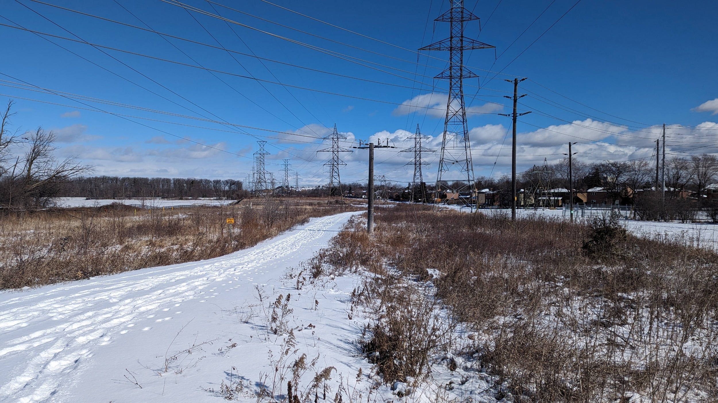
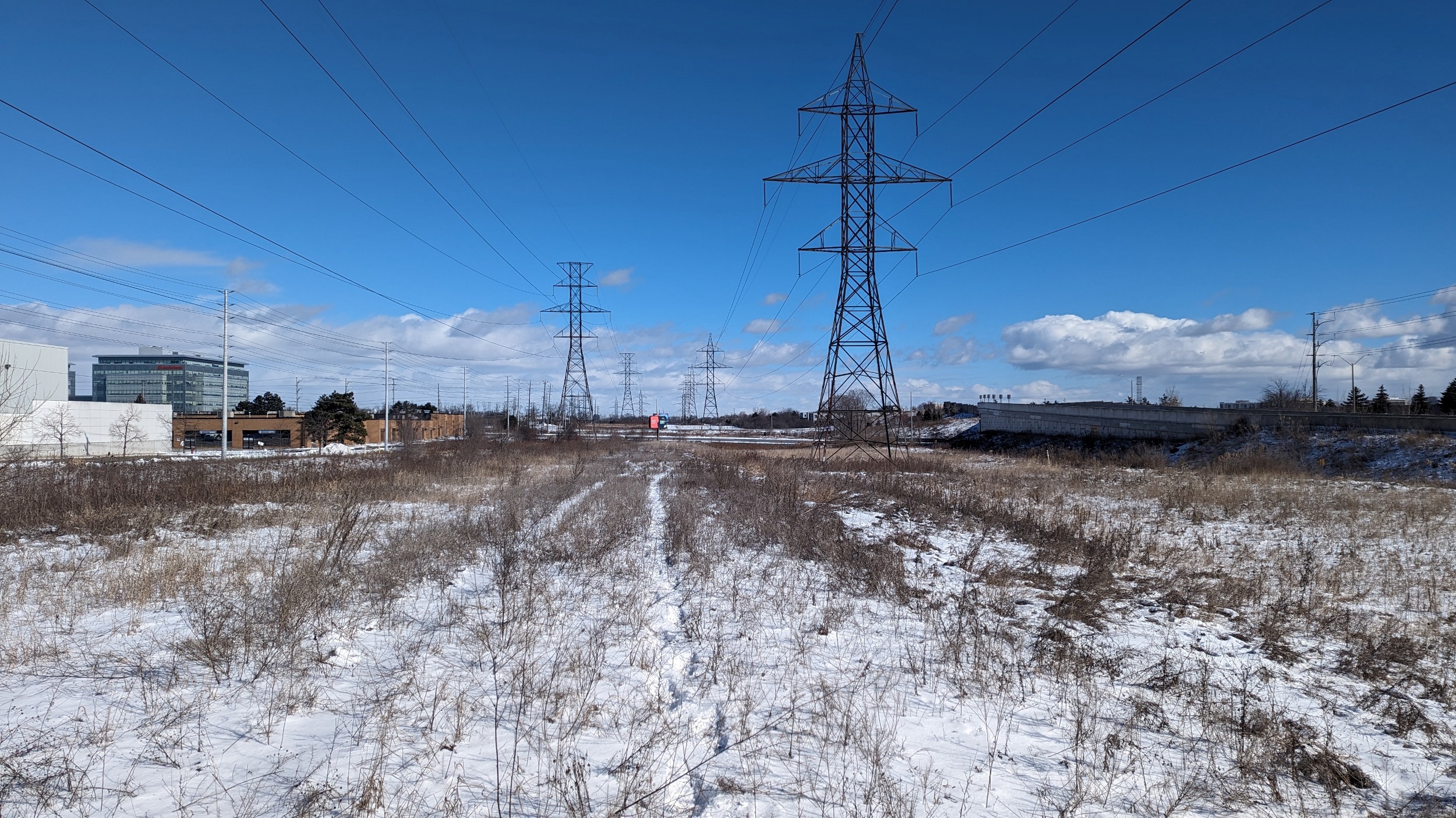
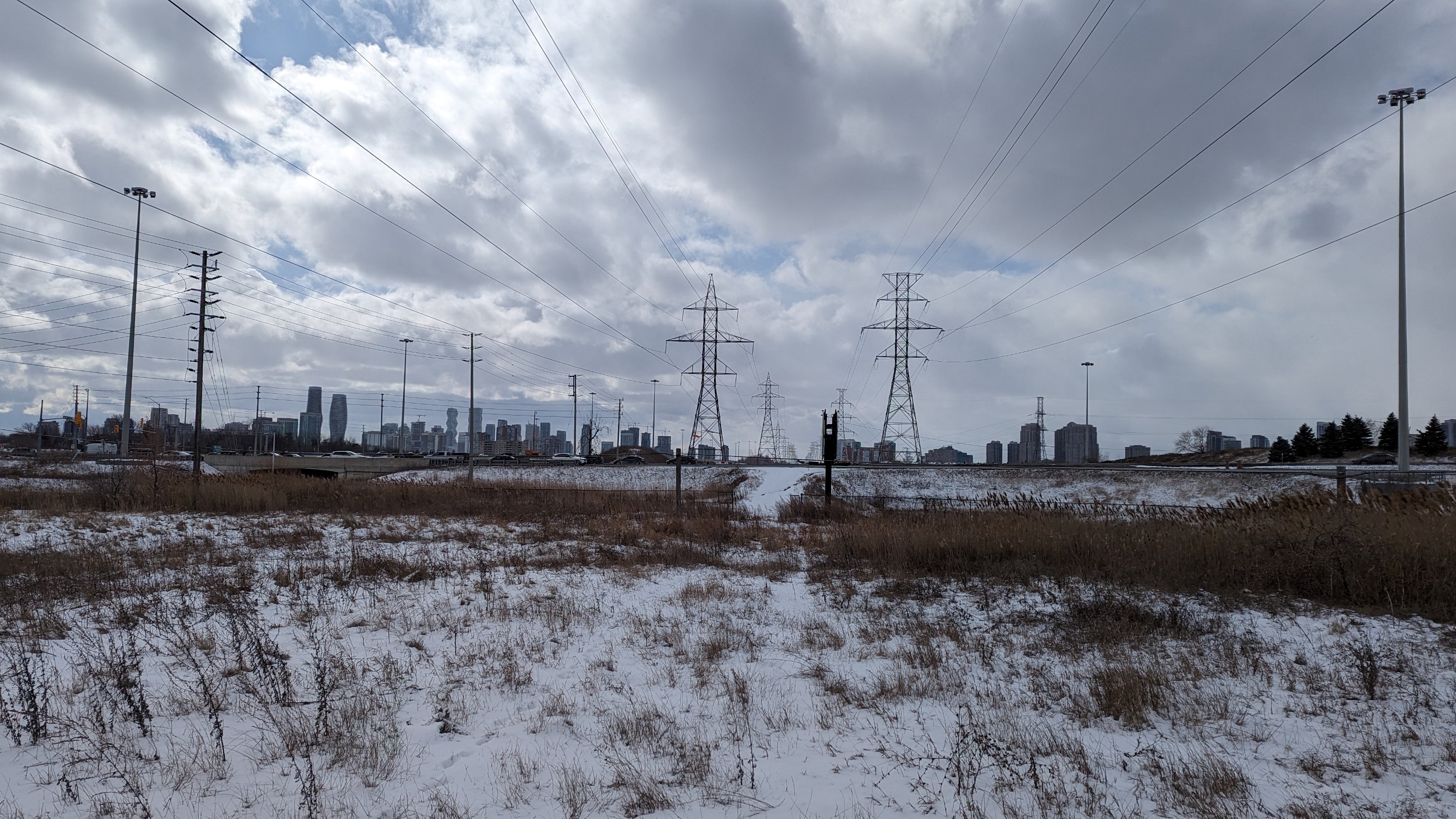
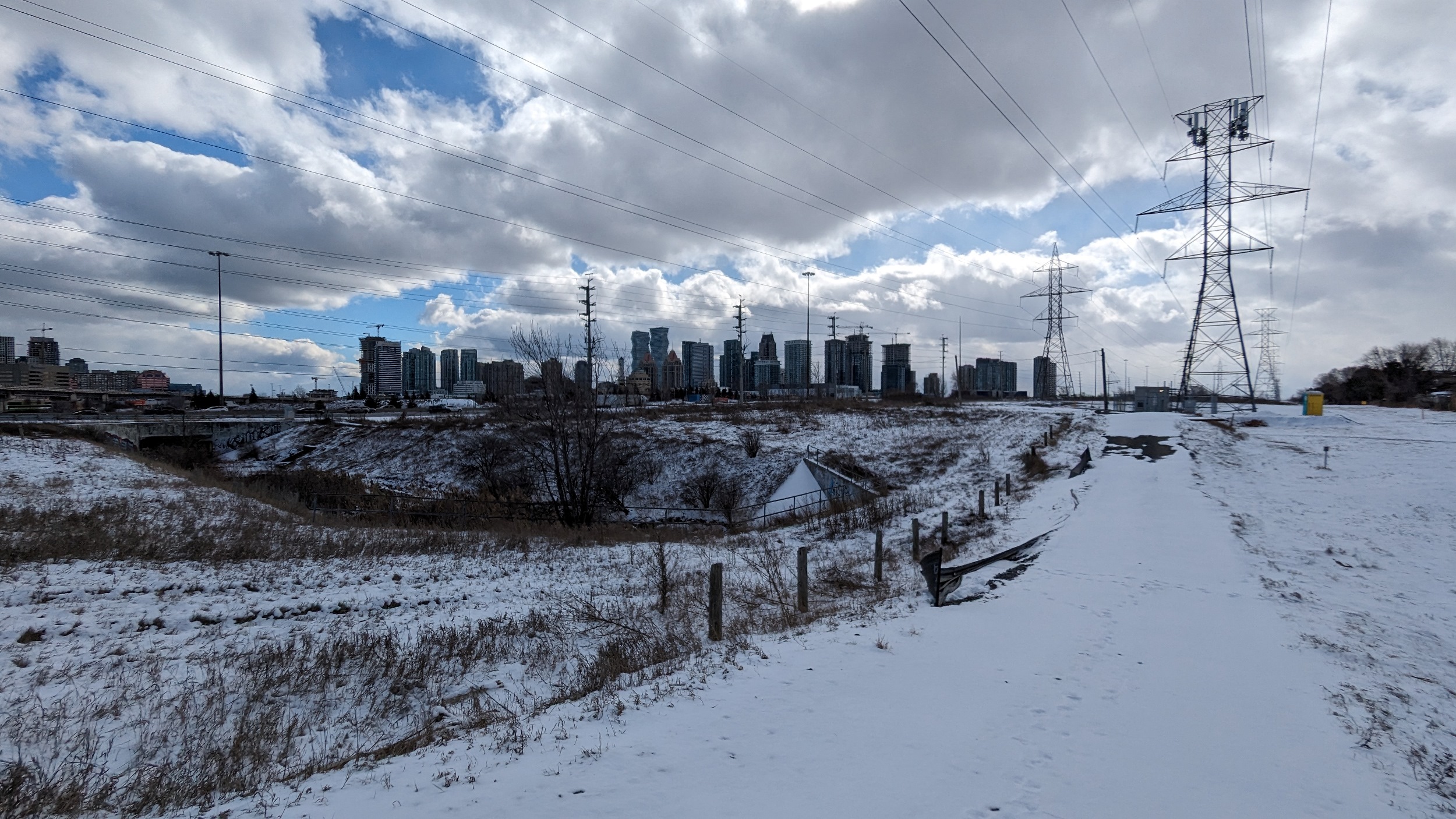
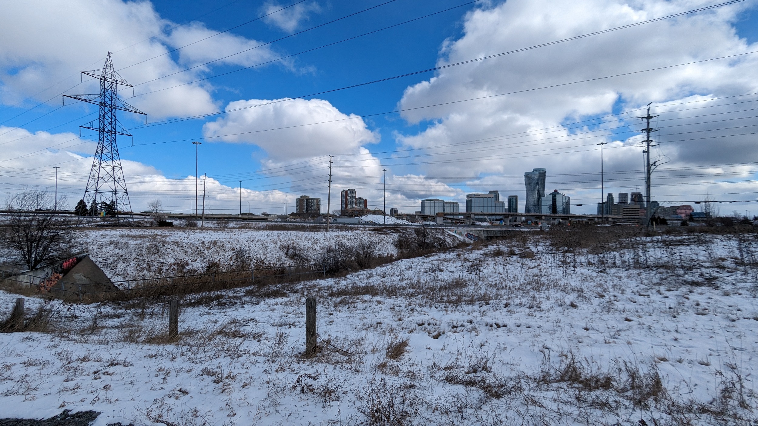
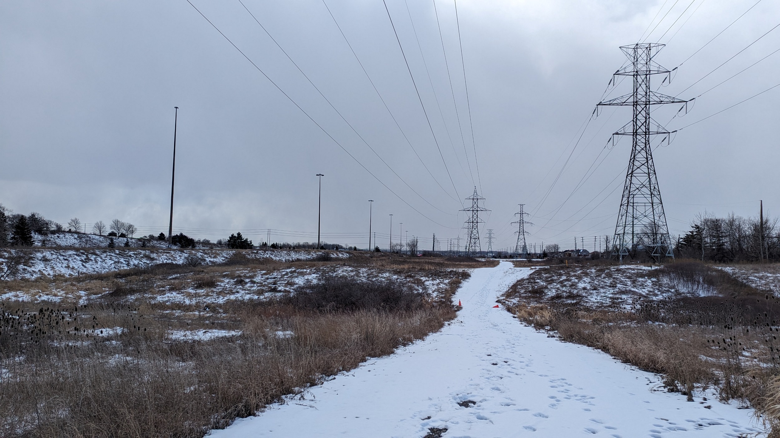
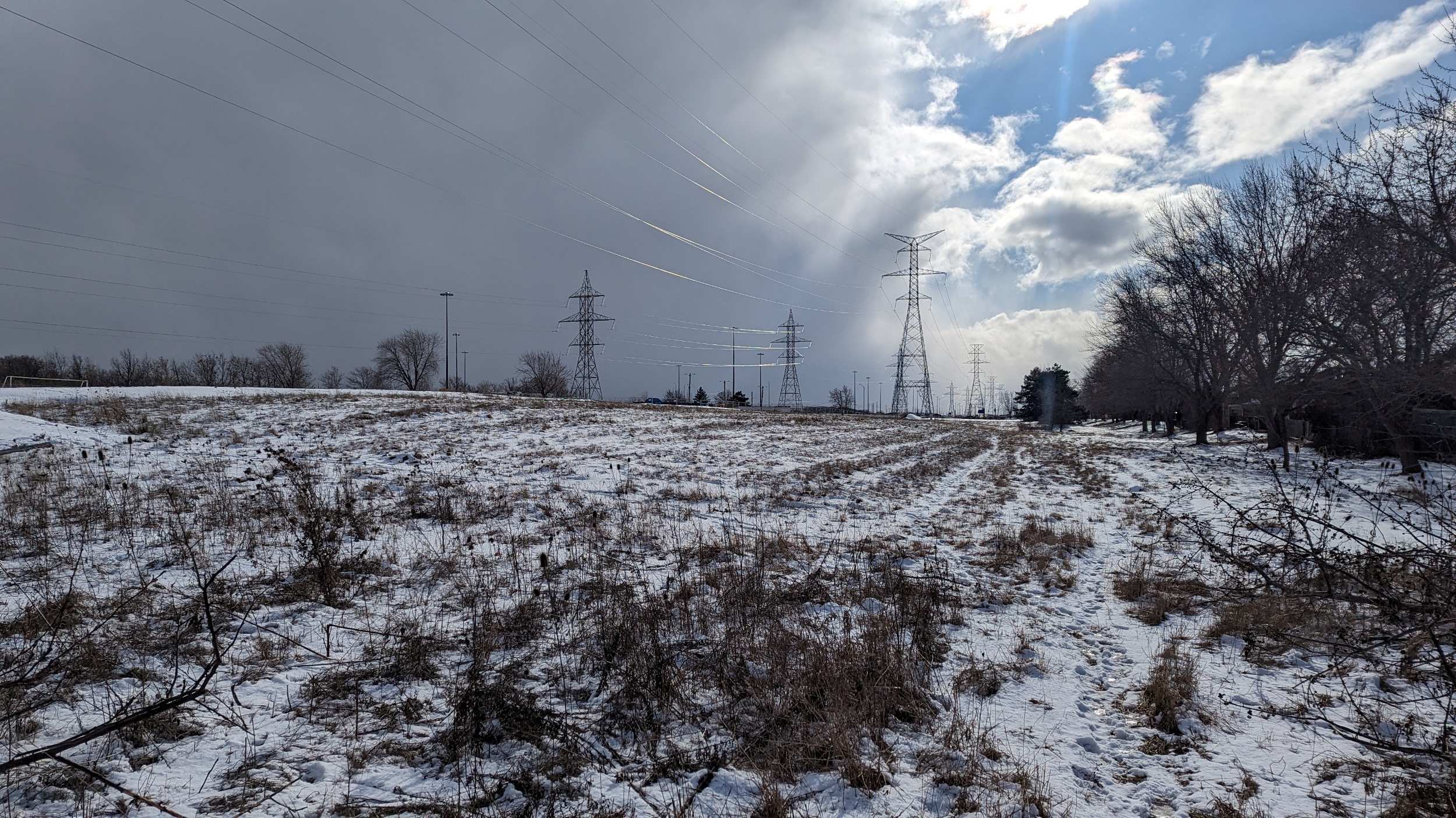
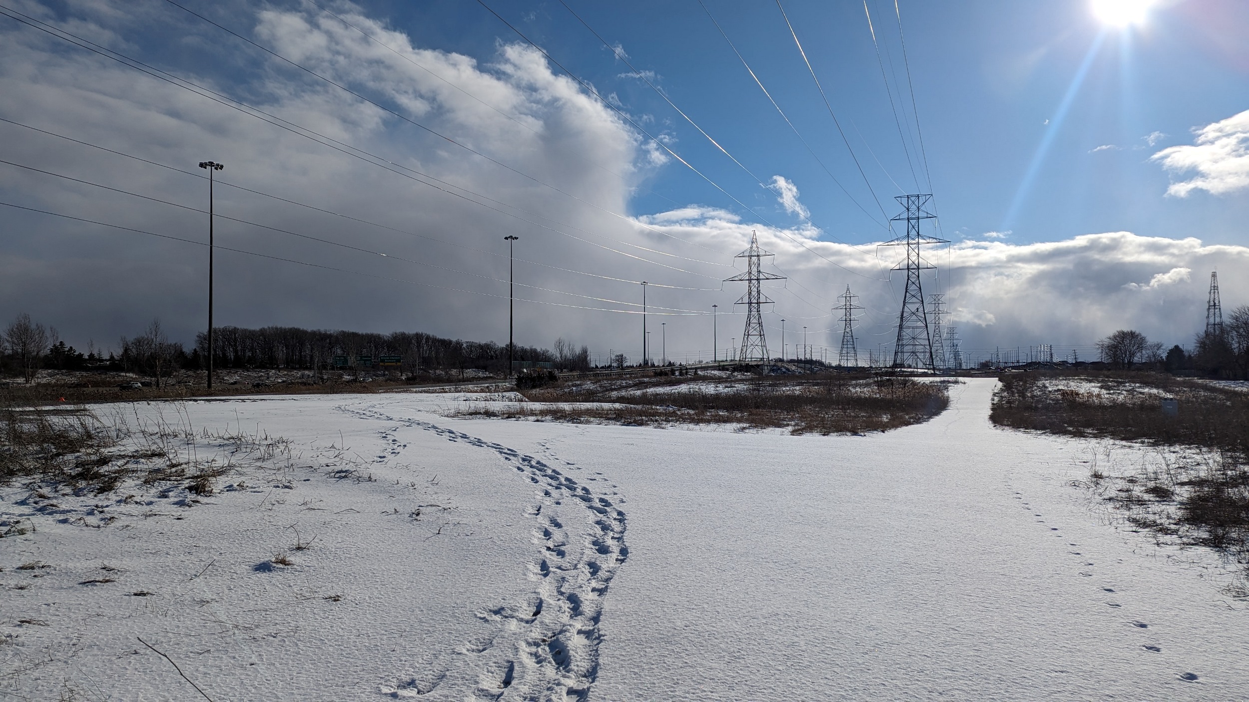
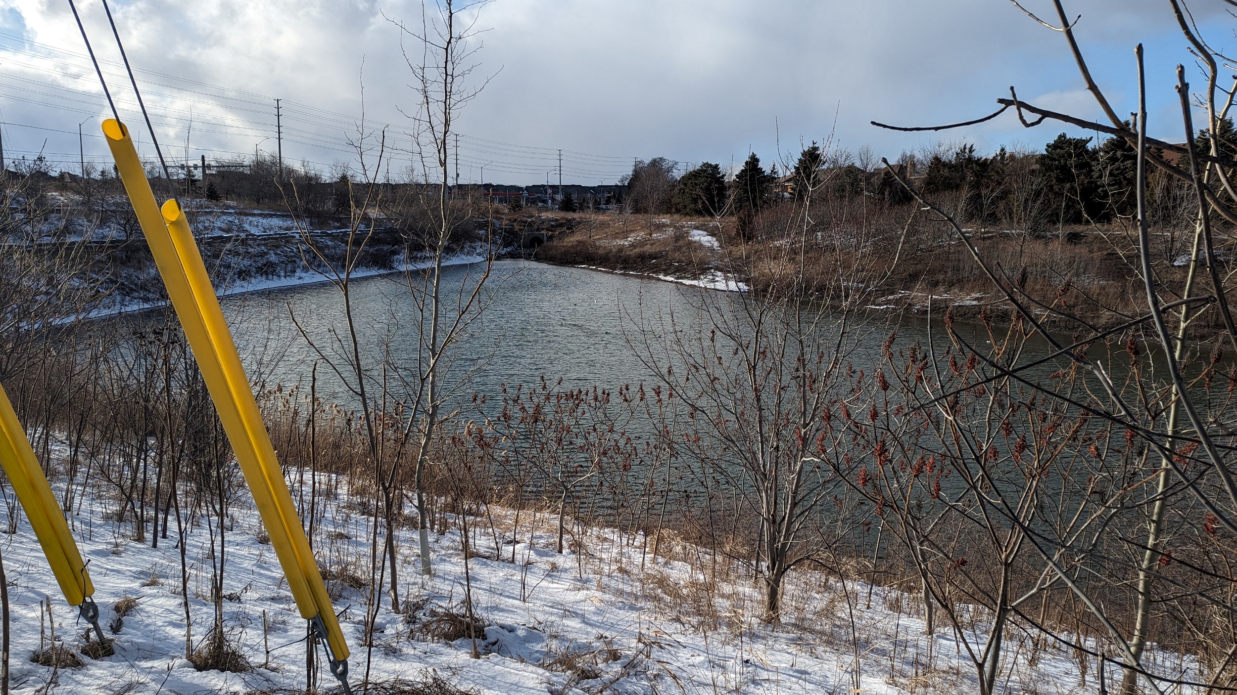
Good morning from east Mississauga. Today I will be following hydro corridors near Etobicoke Creek and along Highway 403. I’m starting at the creek, and heading north and west. Let’s go.
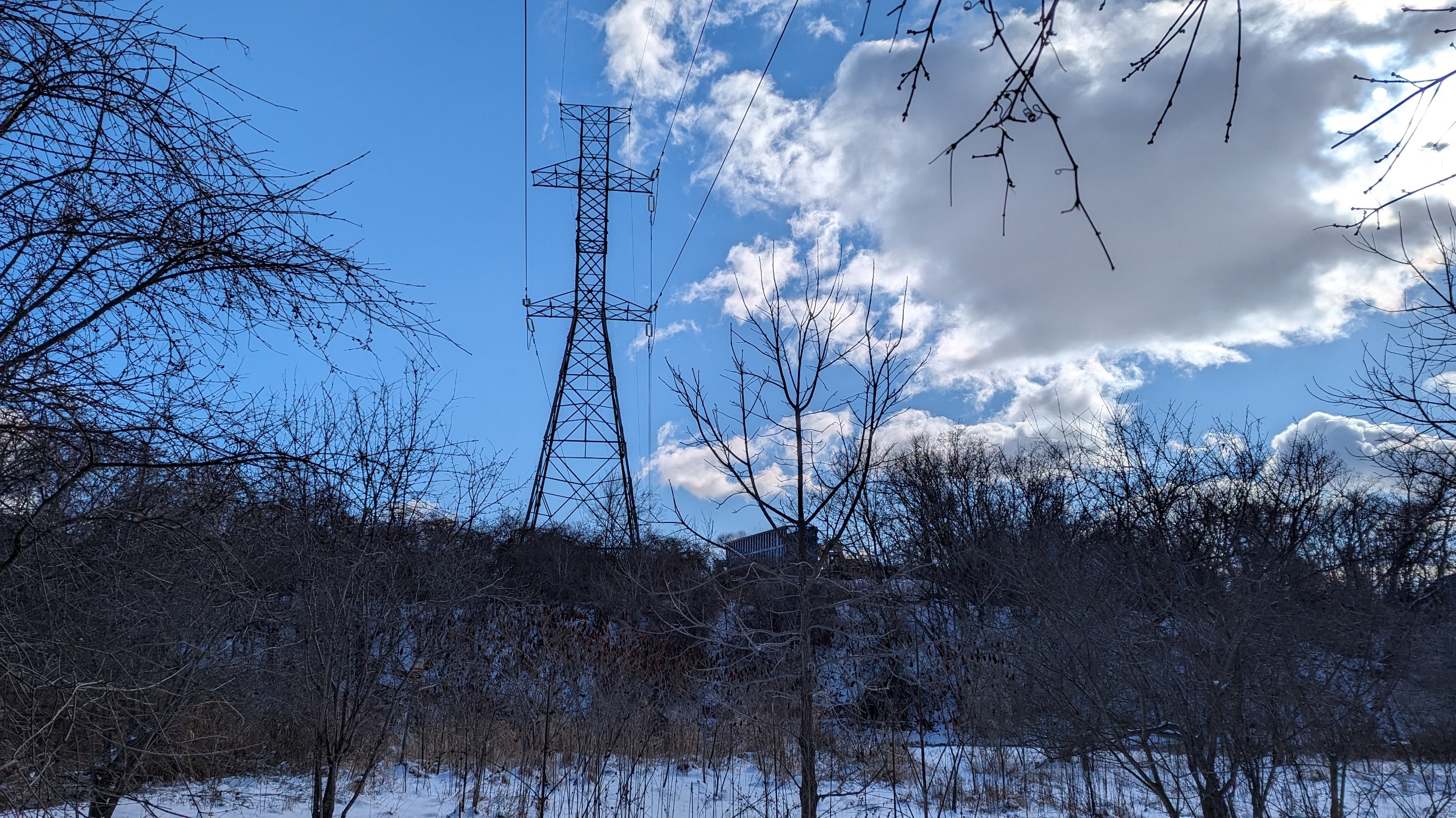
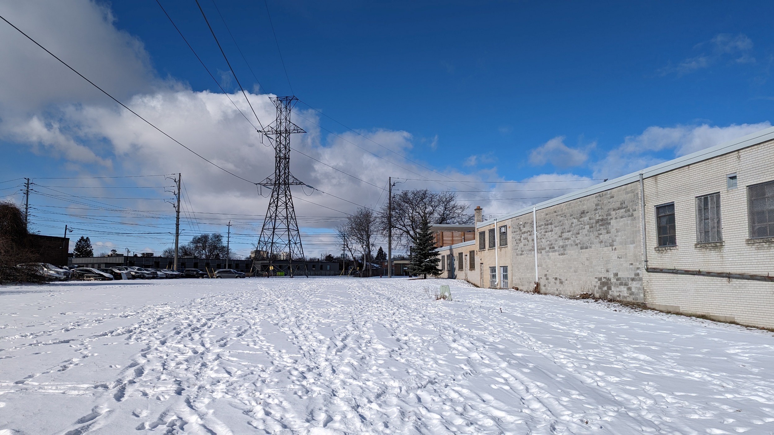
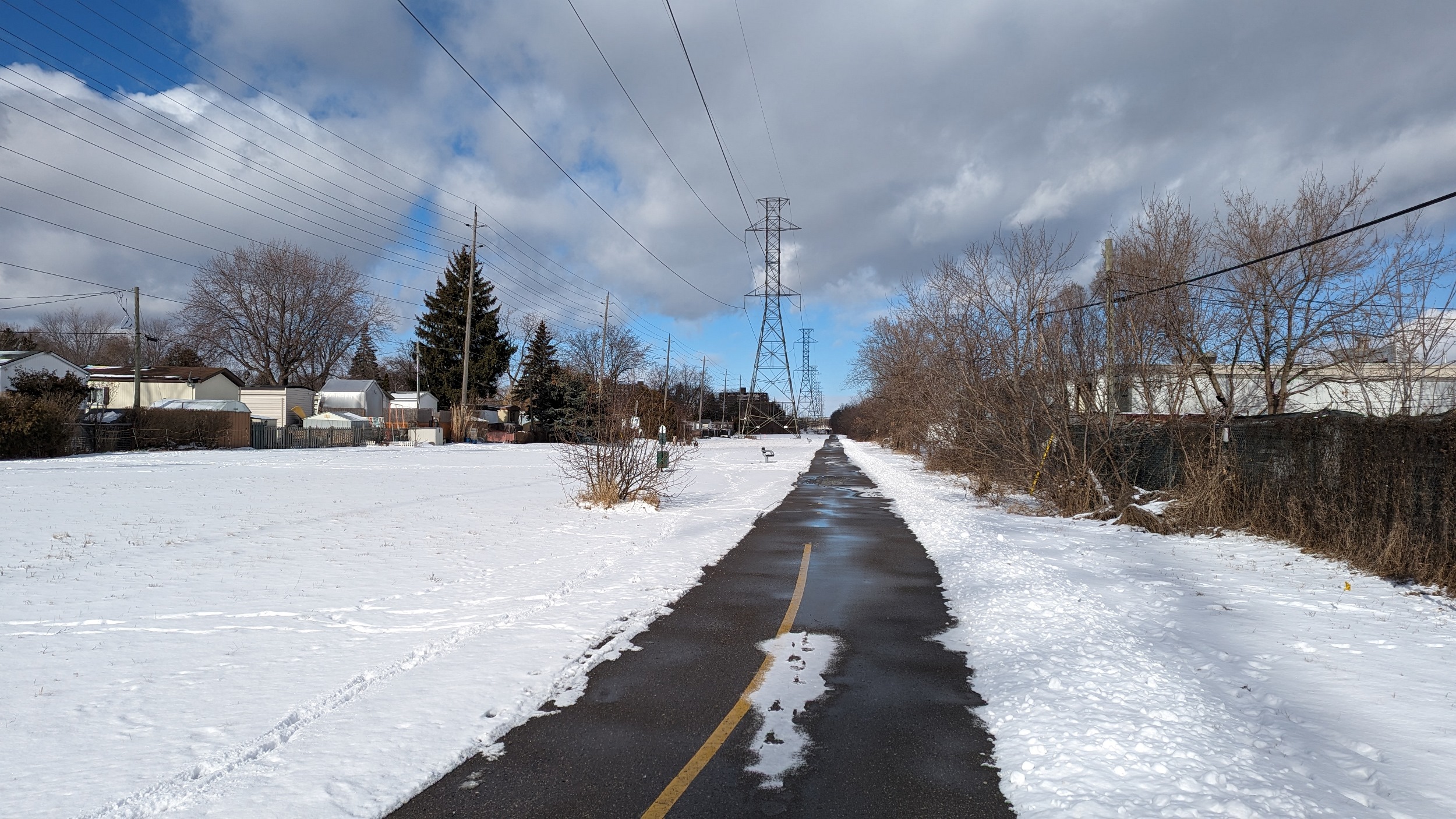
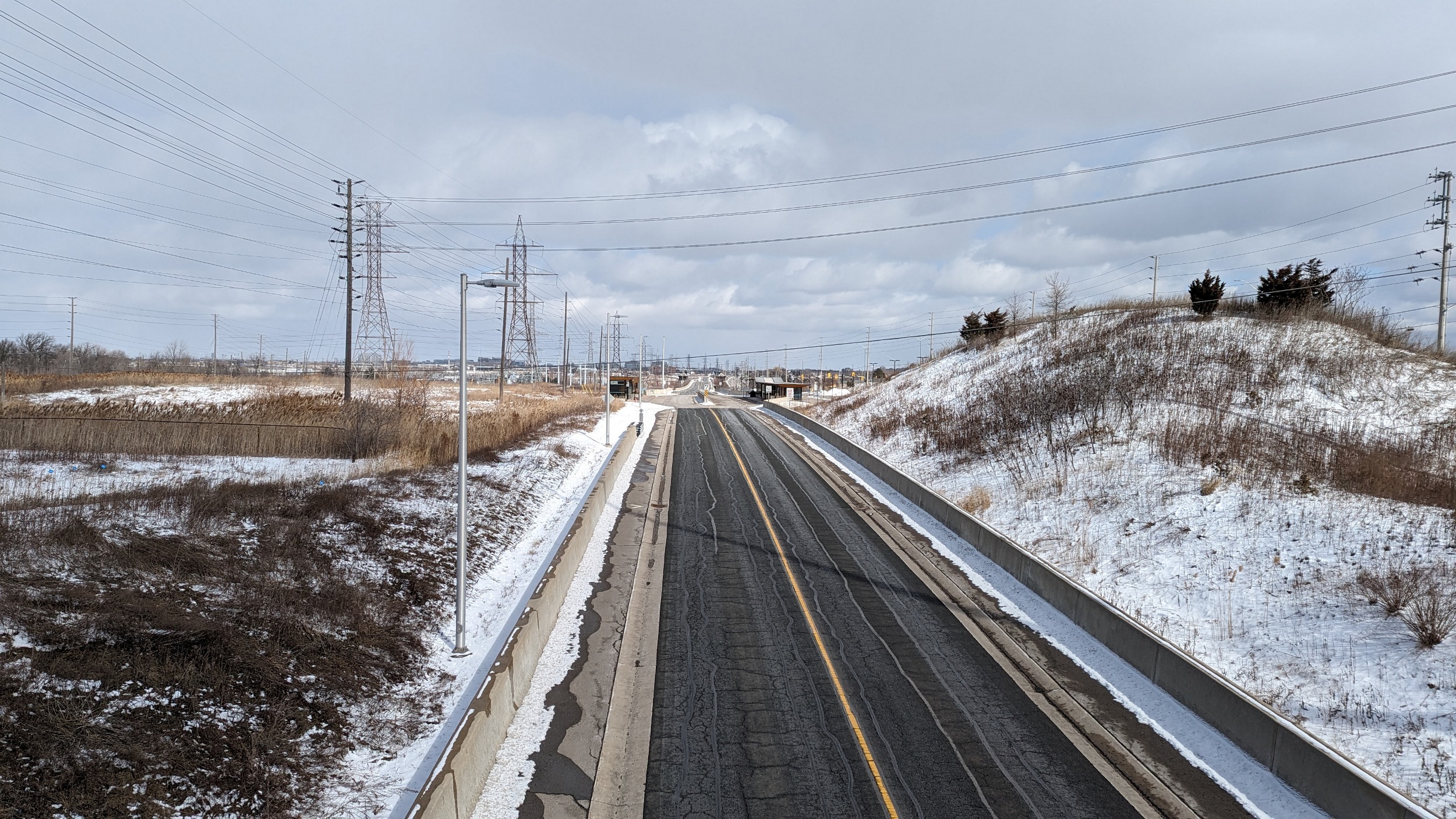
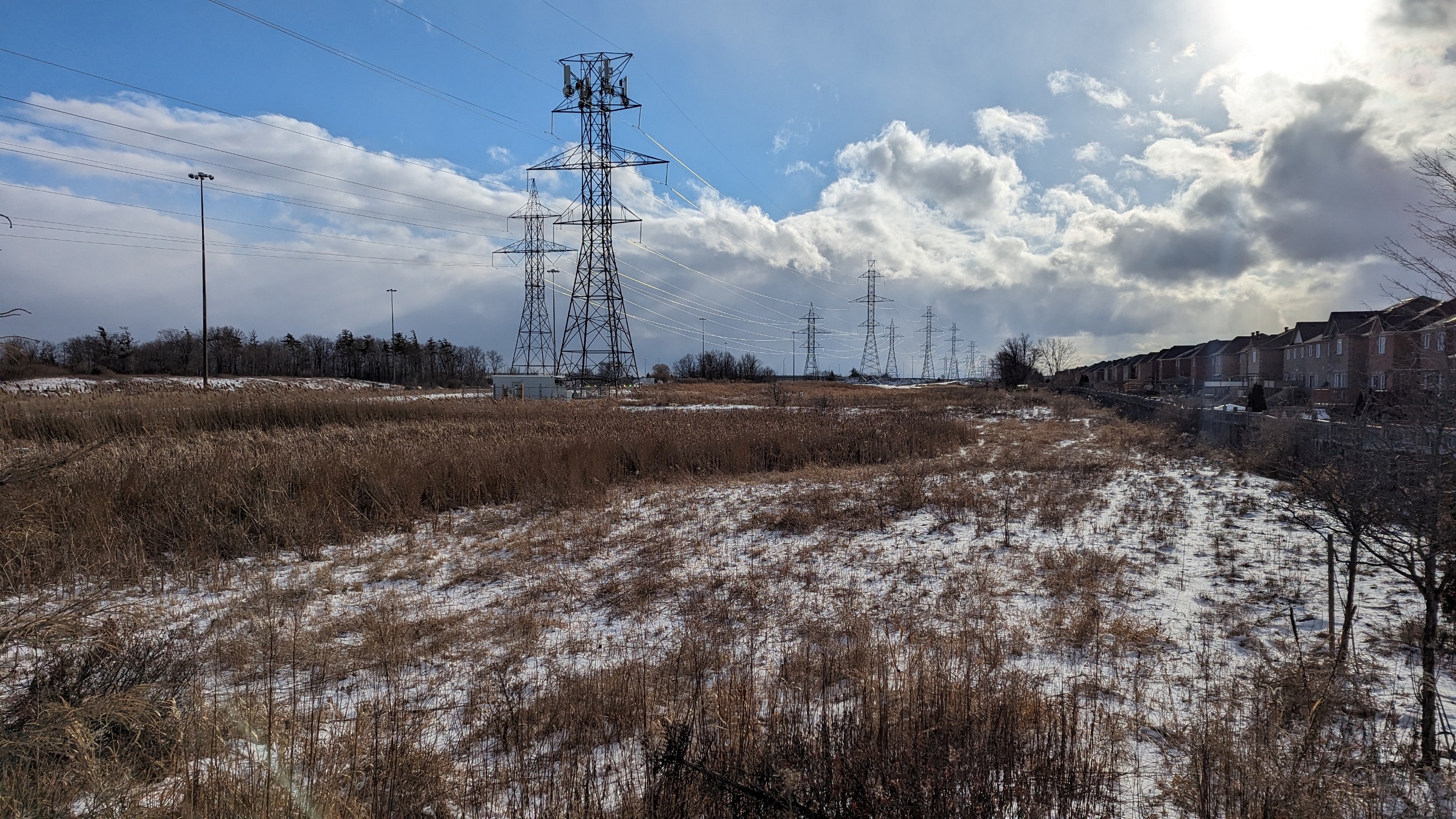
It’s a straight shot north, wedged between a trailer park and industrial land. But there’s a great formal trail through here.

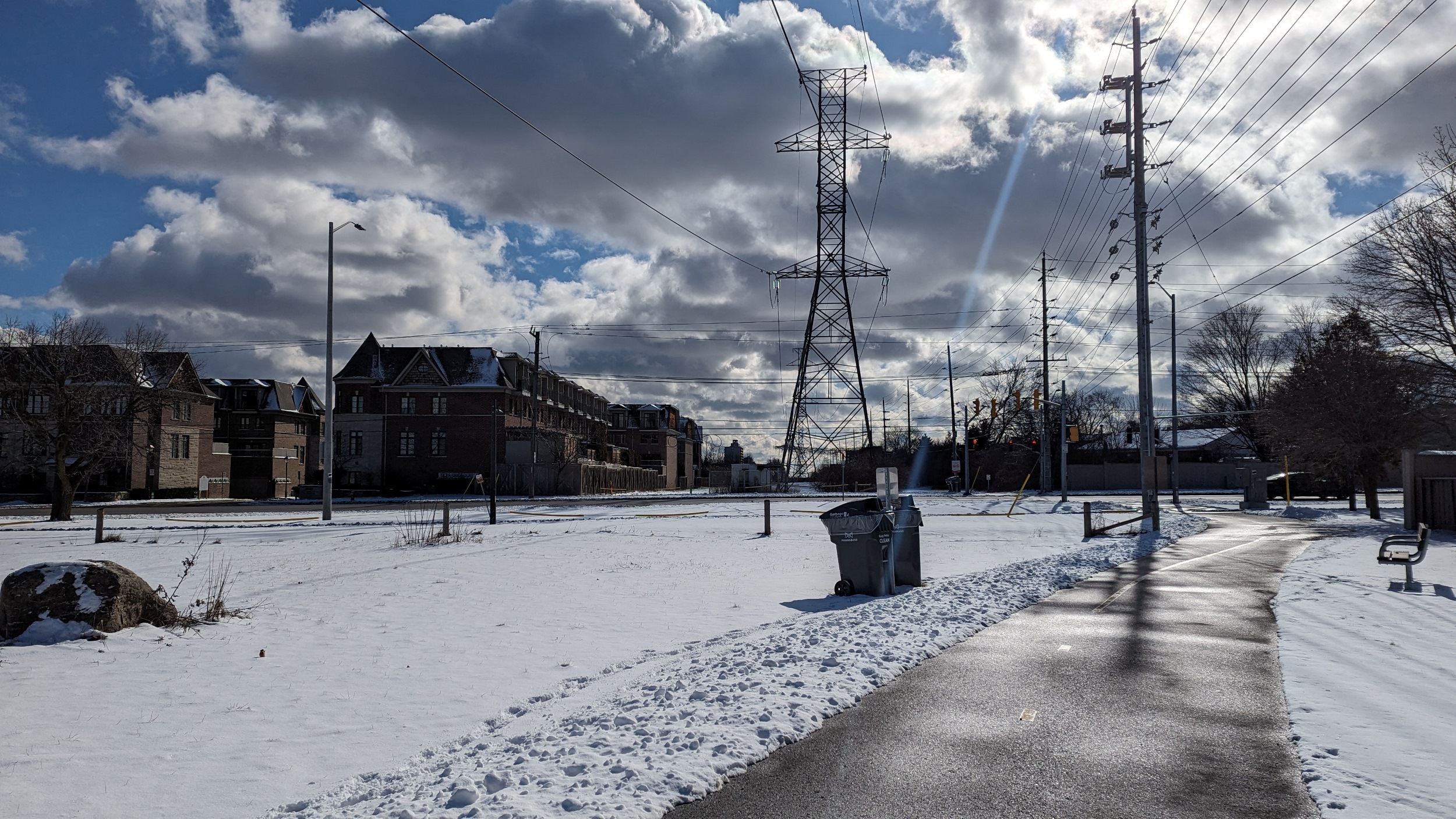
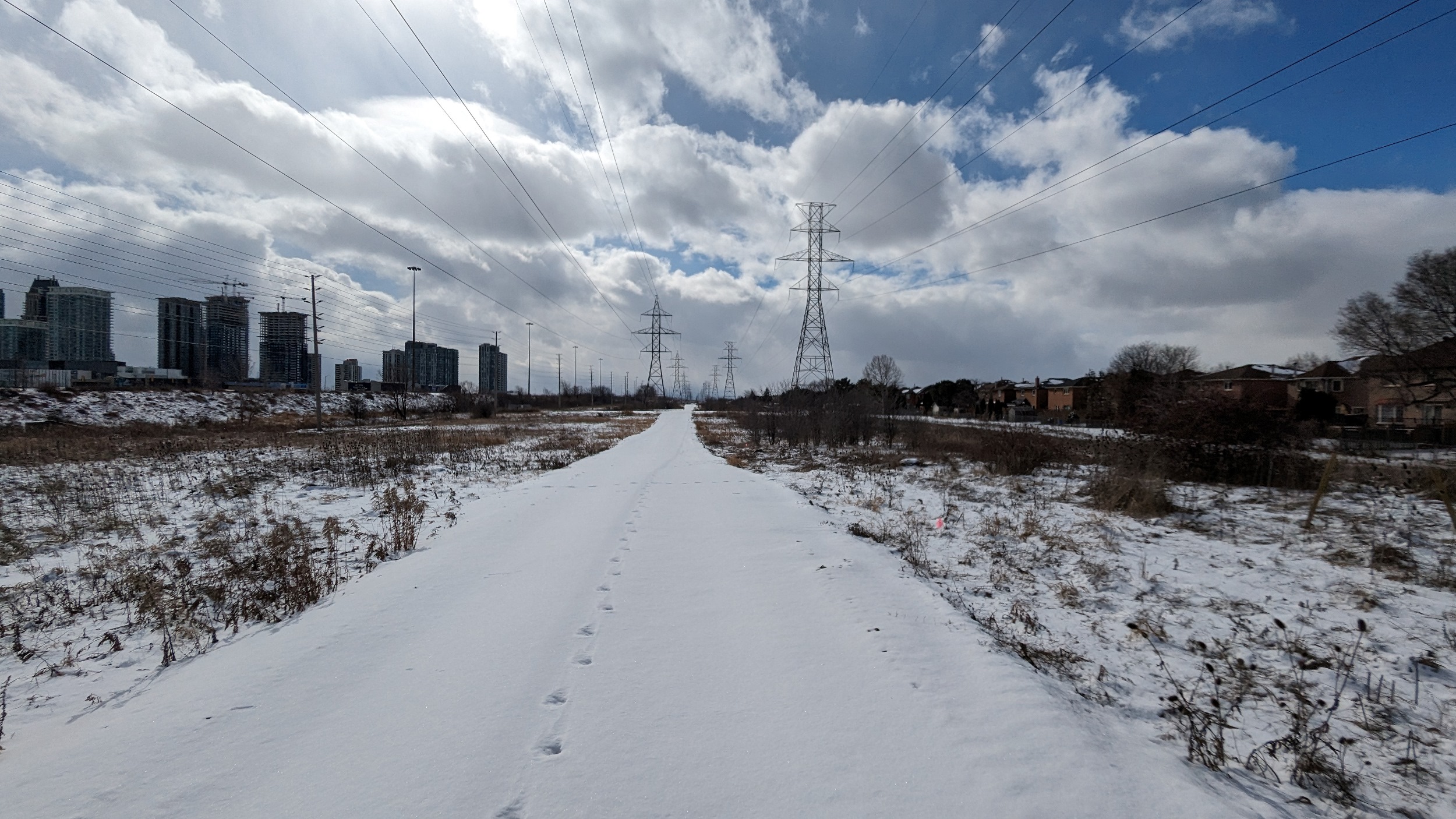
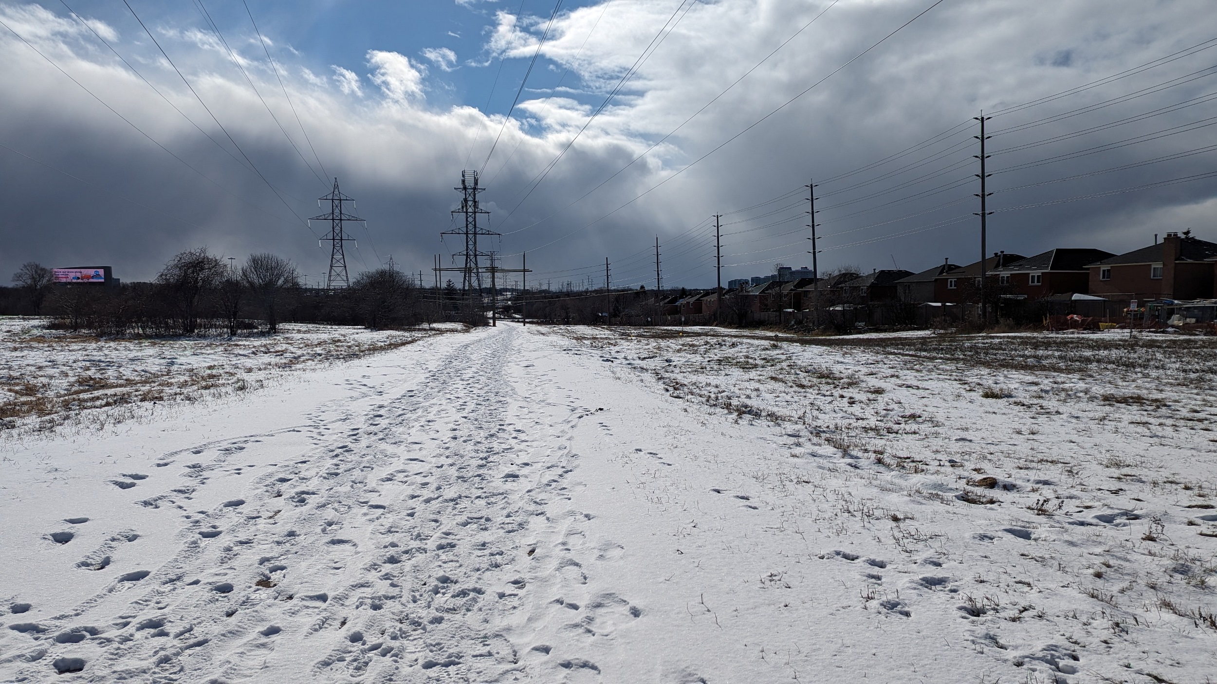
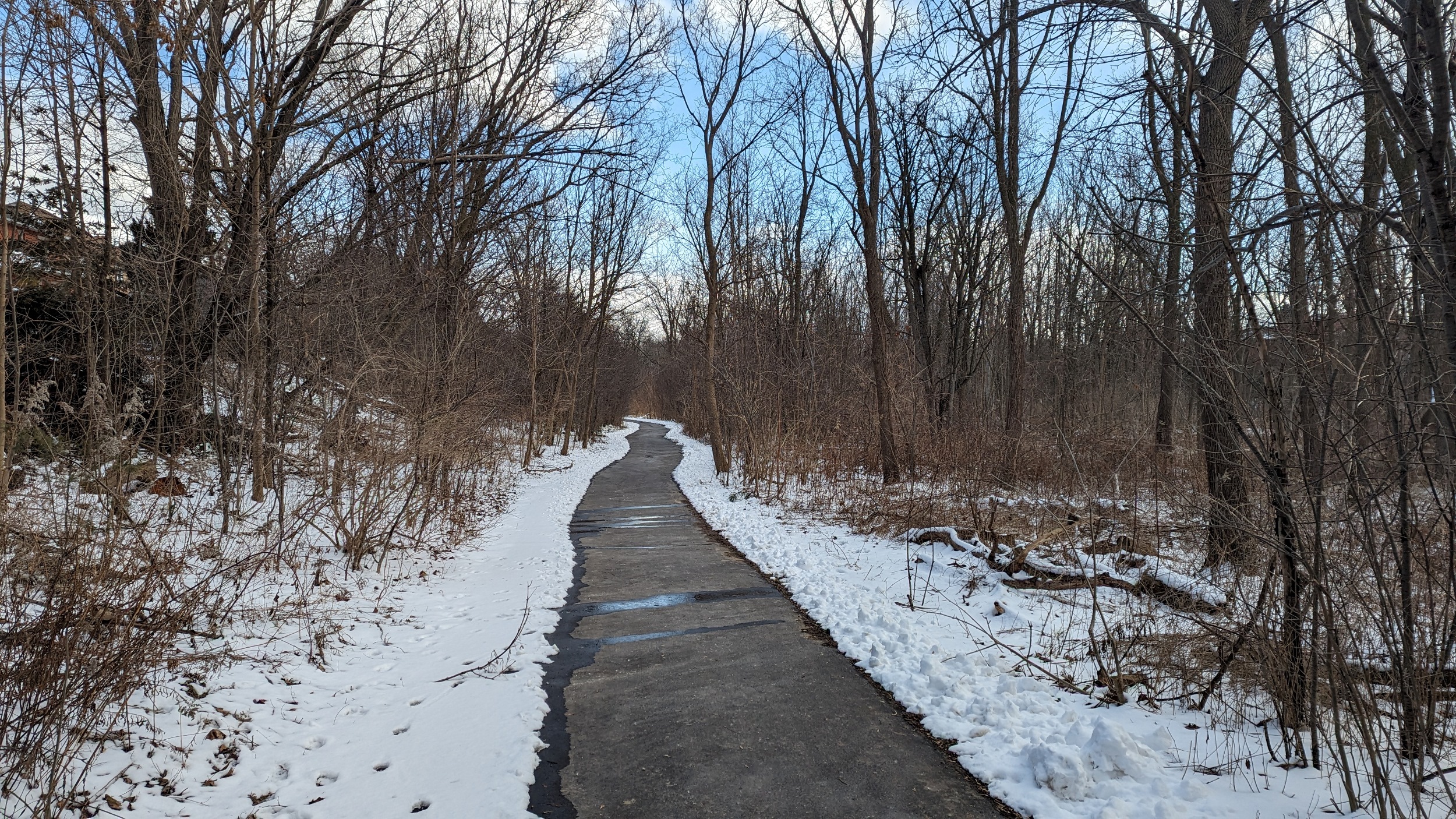
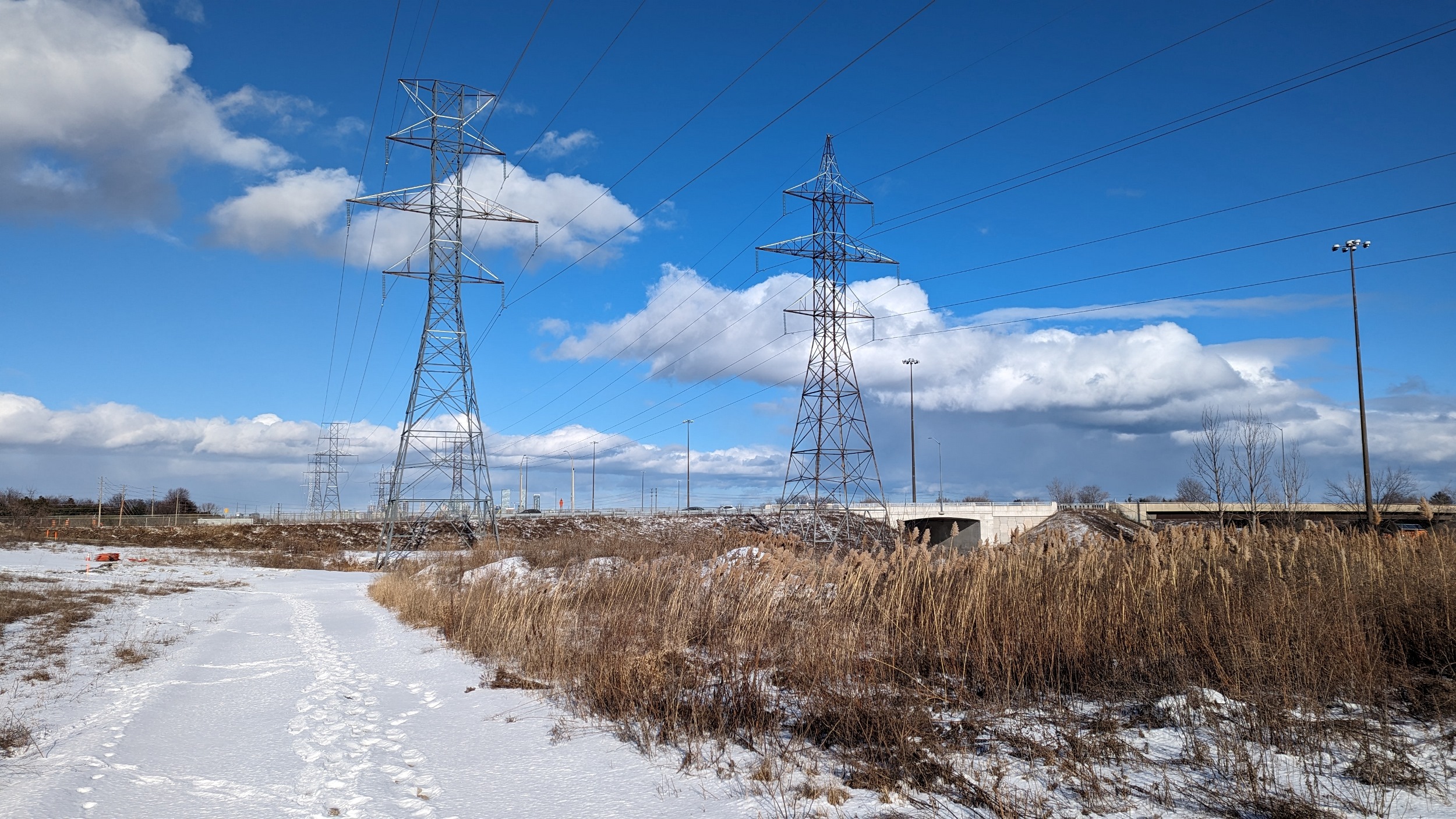
The pathway continues, with everything an urban utility corridor can and should be. Taller vegetation on the flanks, with shrubbier stuff in the middle. Good neighbourhood connections and seating dotted along the way.


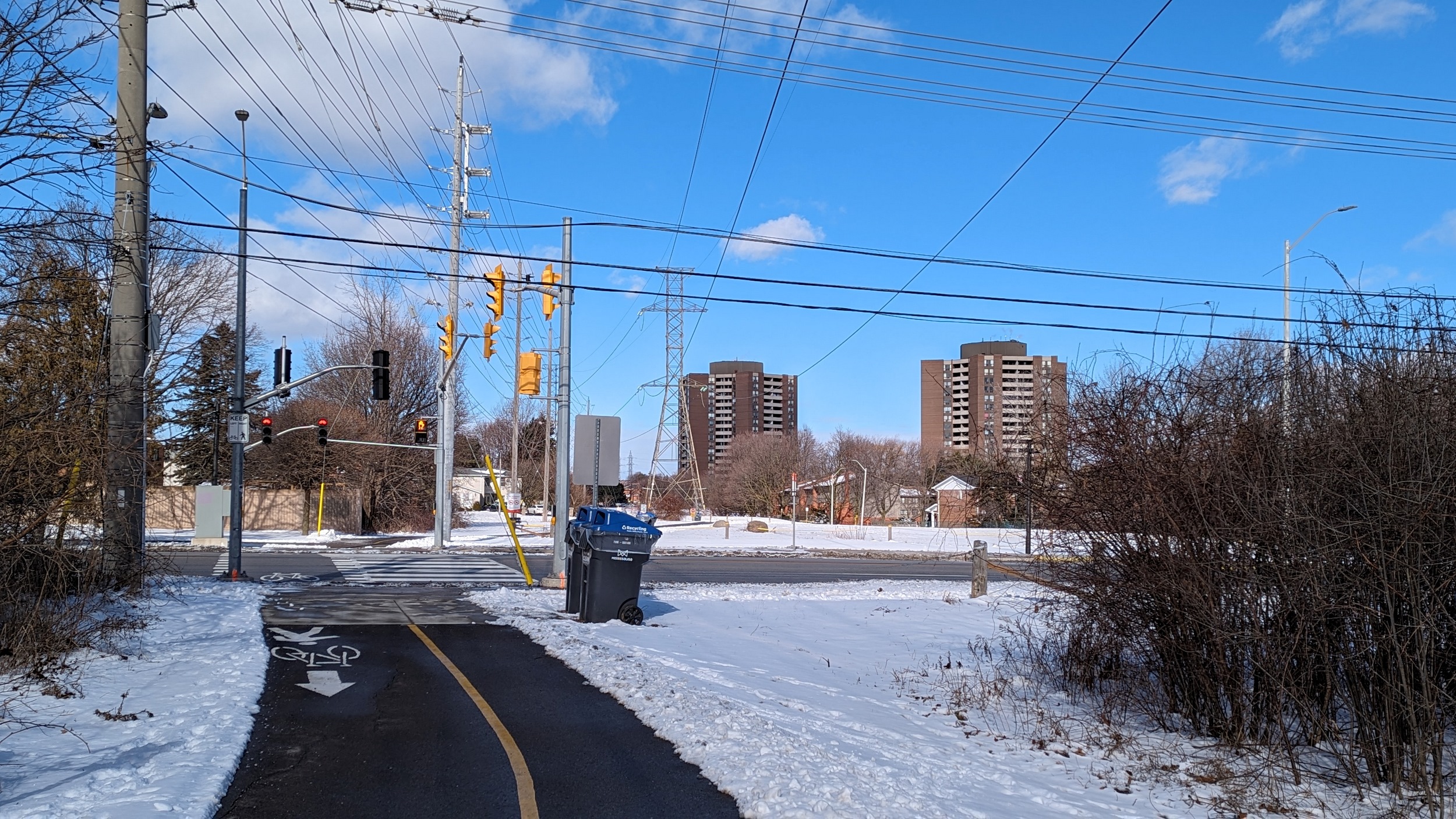
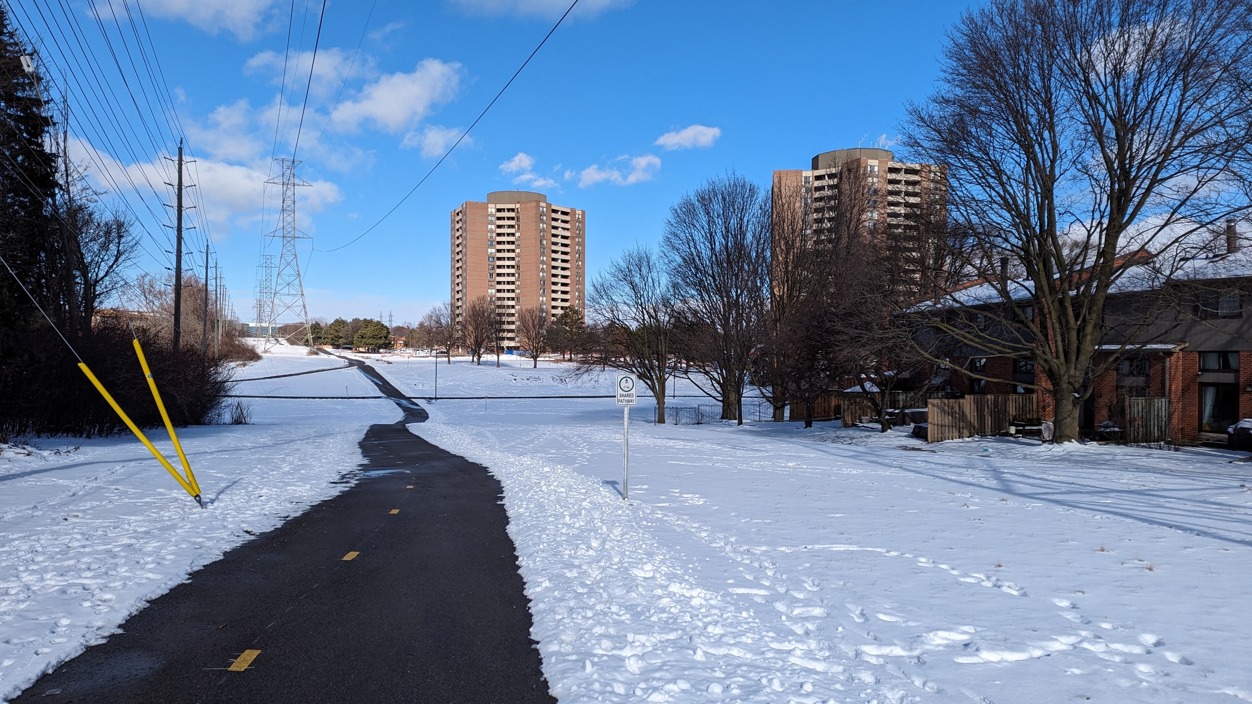
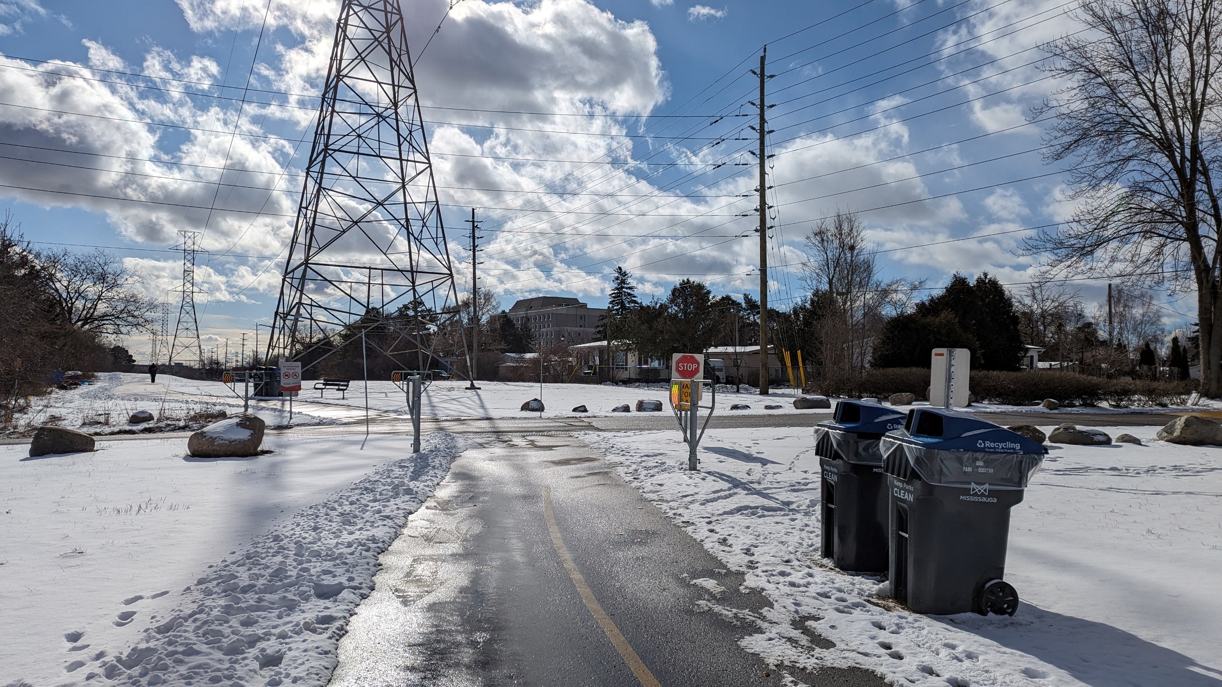
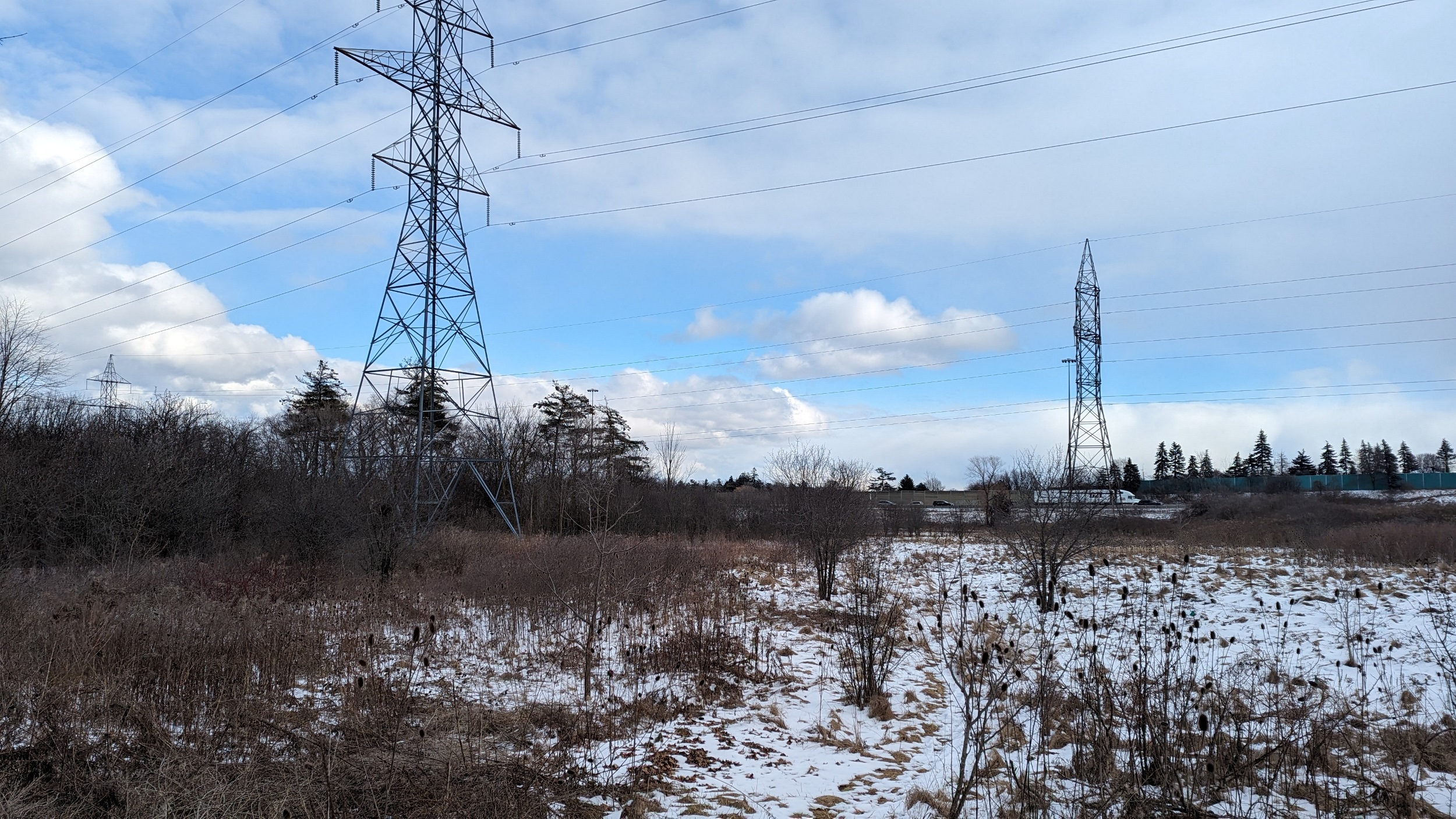
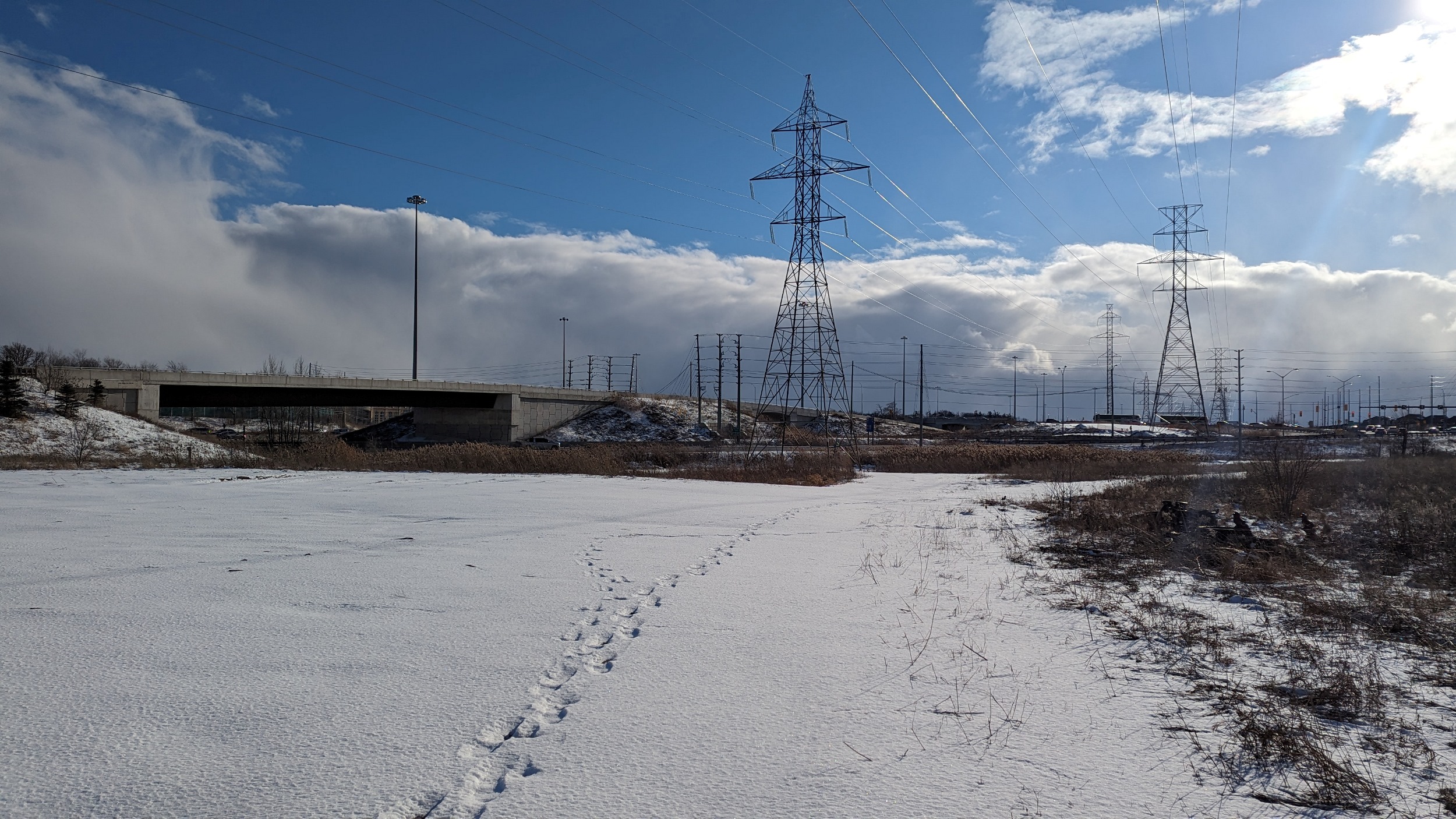
North of Rathburn, the north-south corridor meets a main trunk corridor going east-west. Going east will take you to the top of the Etobicoke Creek Valley, but there’s no bridge into Toronto. I’m turning around here and heading west now.

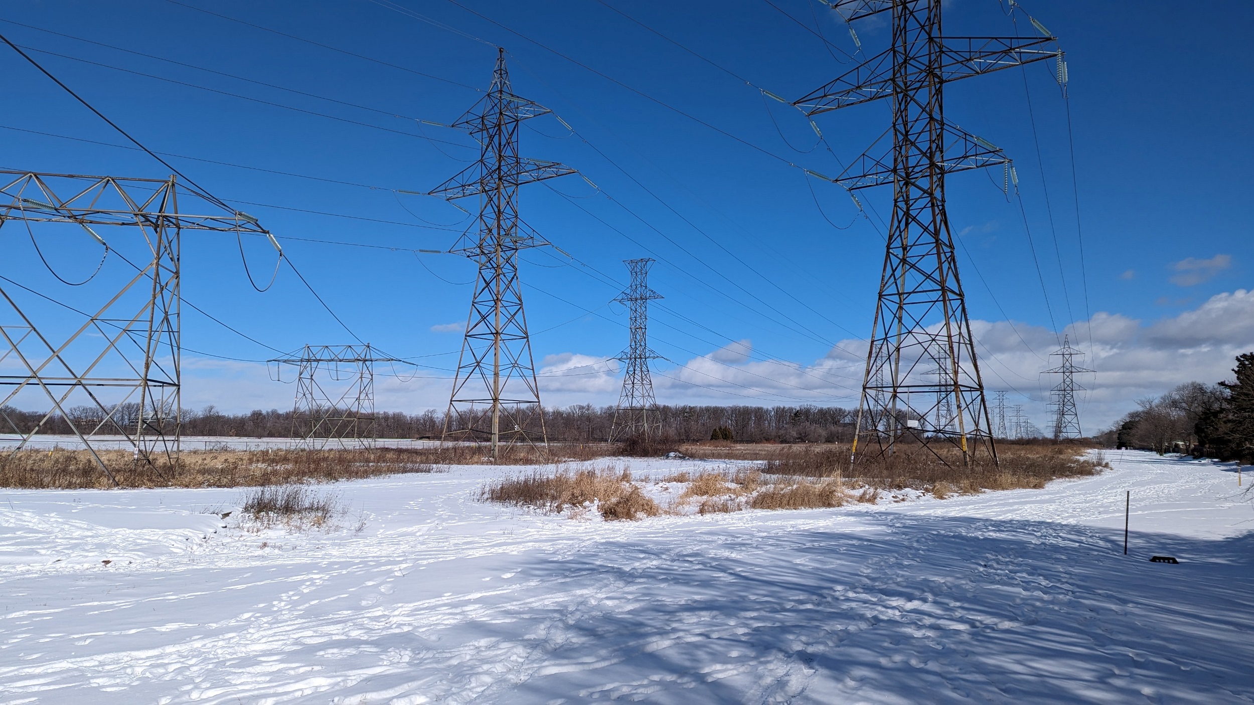
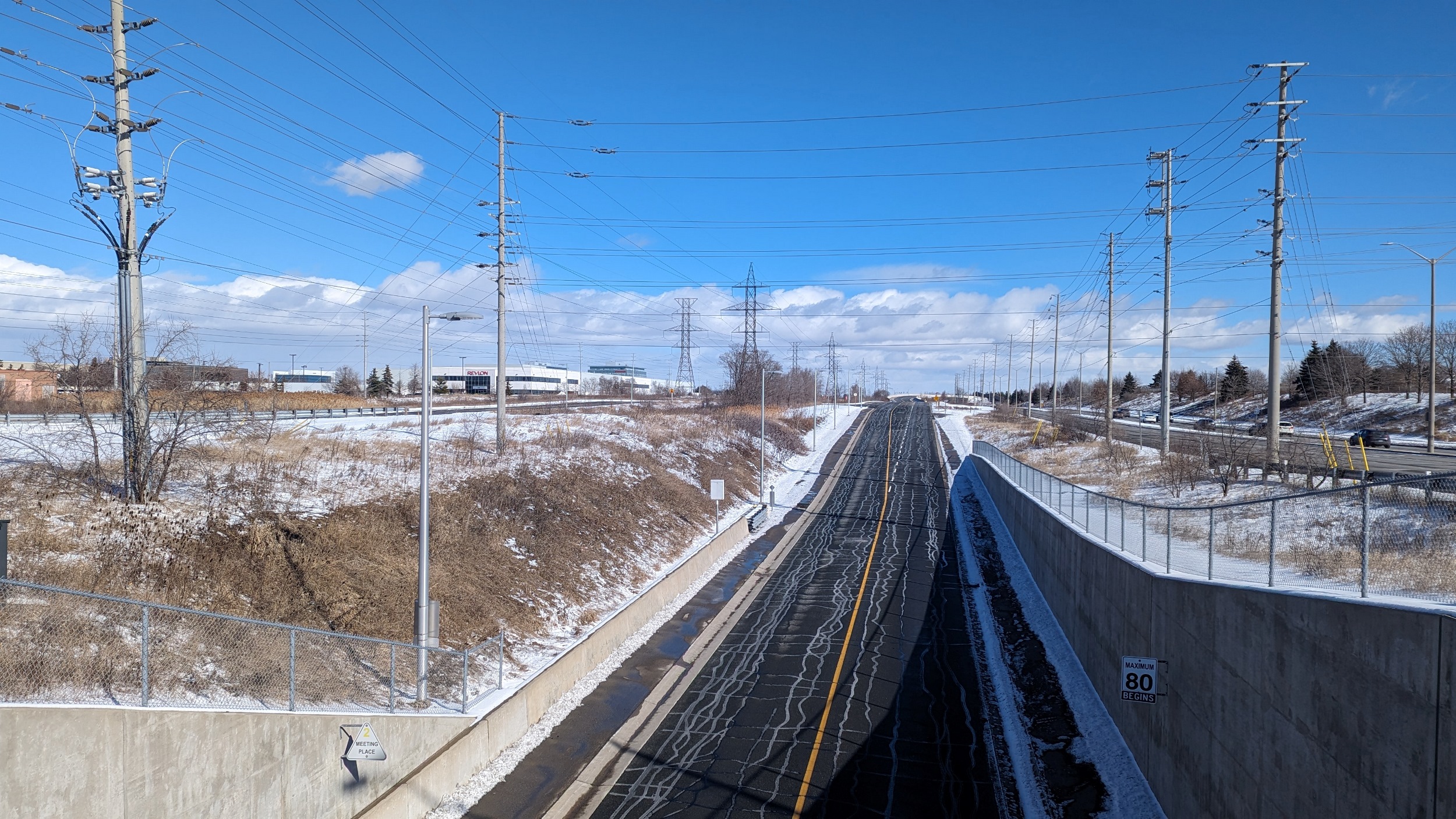
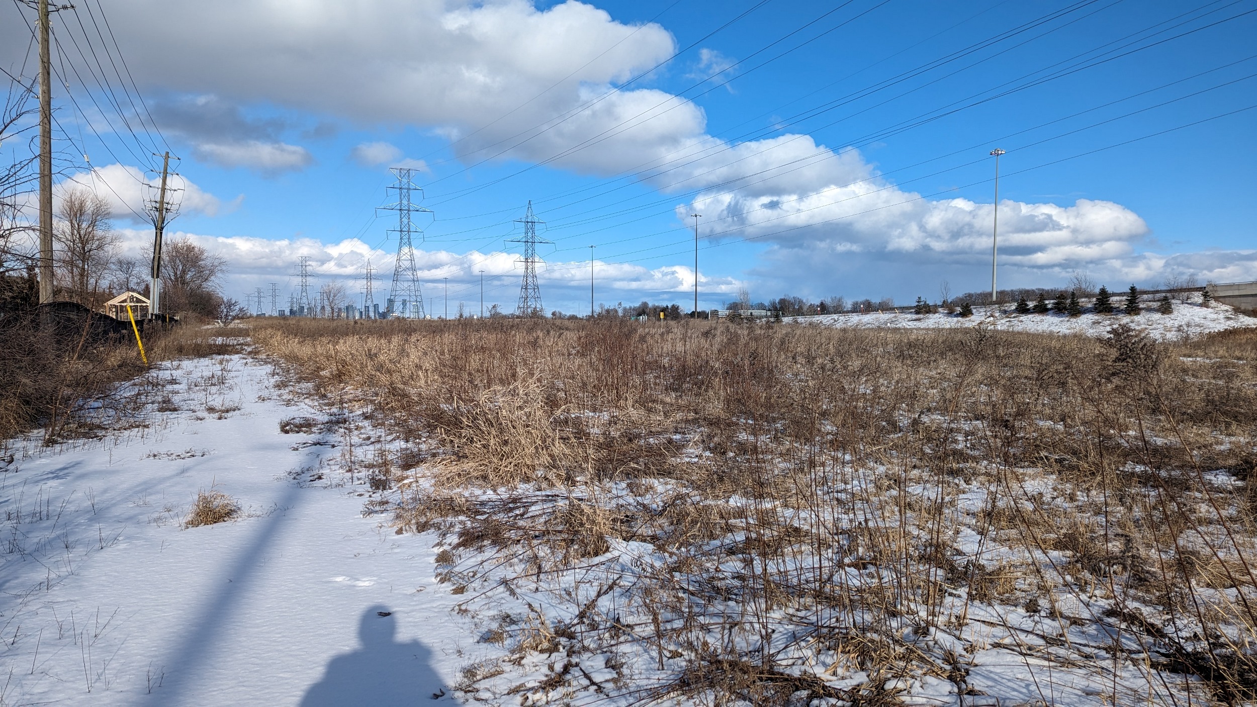
Backtracking past the branch corridor, and onwards along the trunk towards Mississauga City Centre. Eventually you cross paths with the Mississauga Transitway, a dedicated busway for Miway and GO Transit.

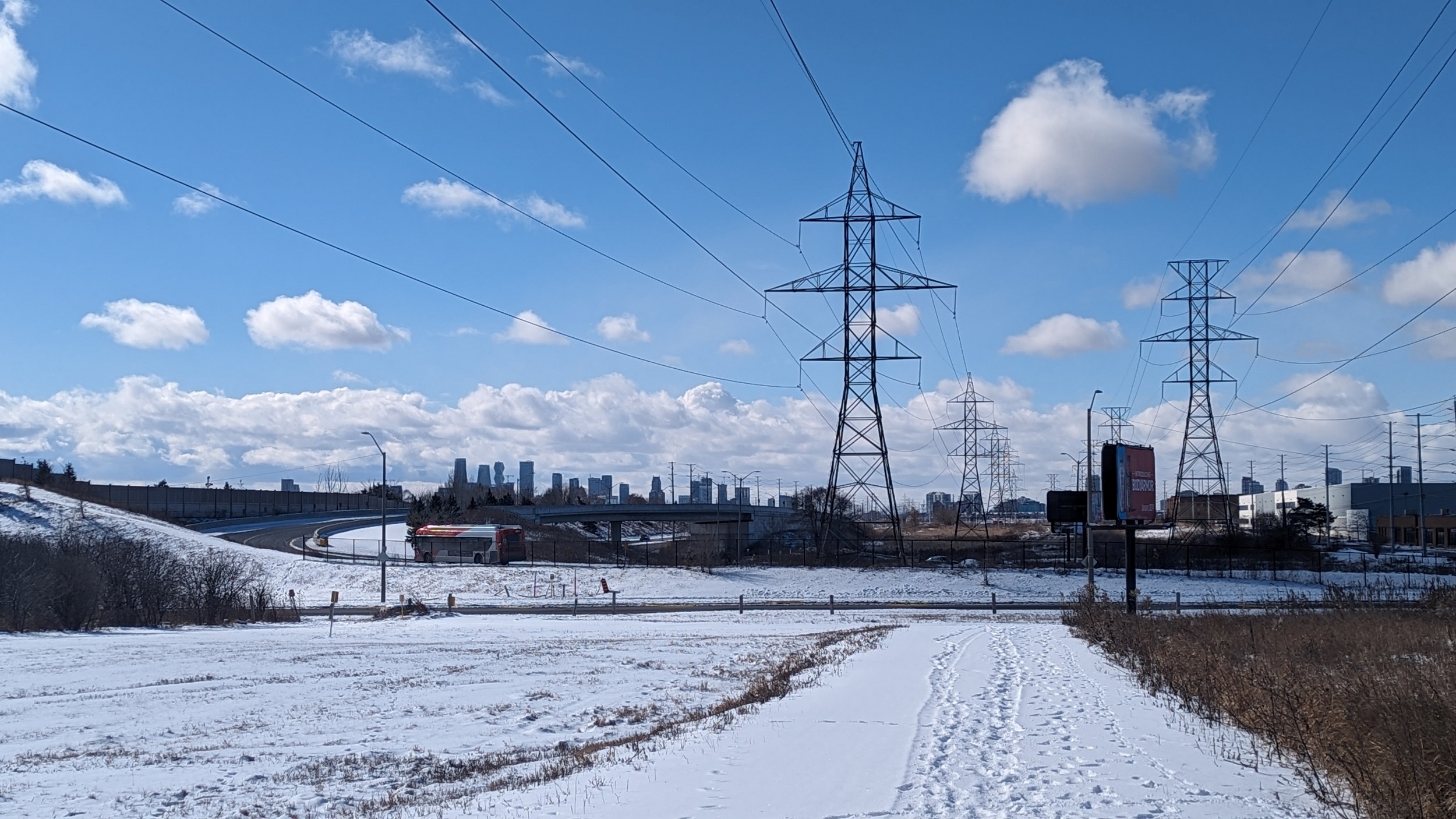
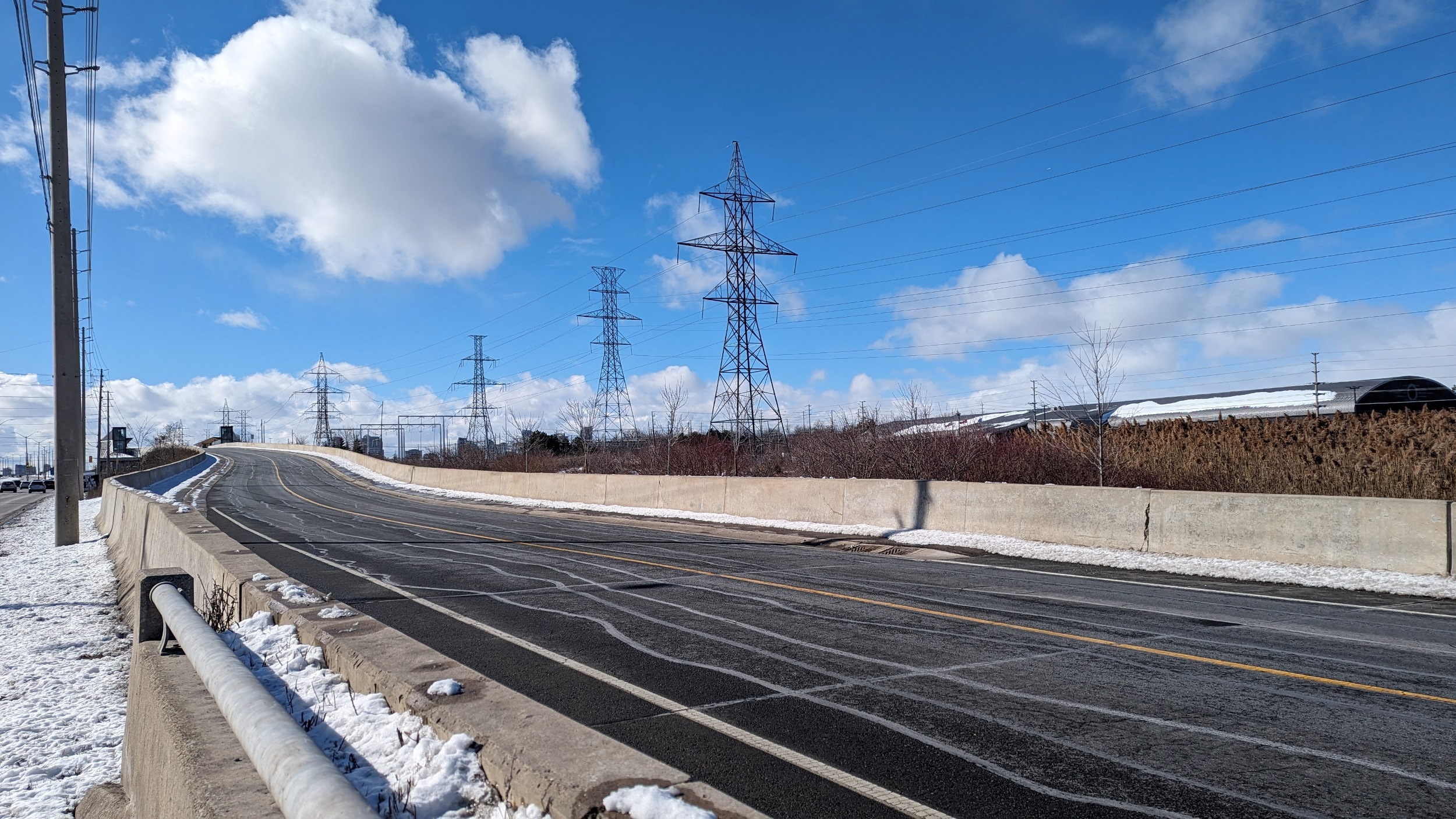
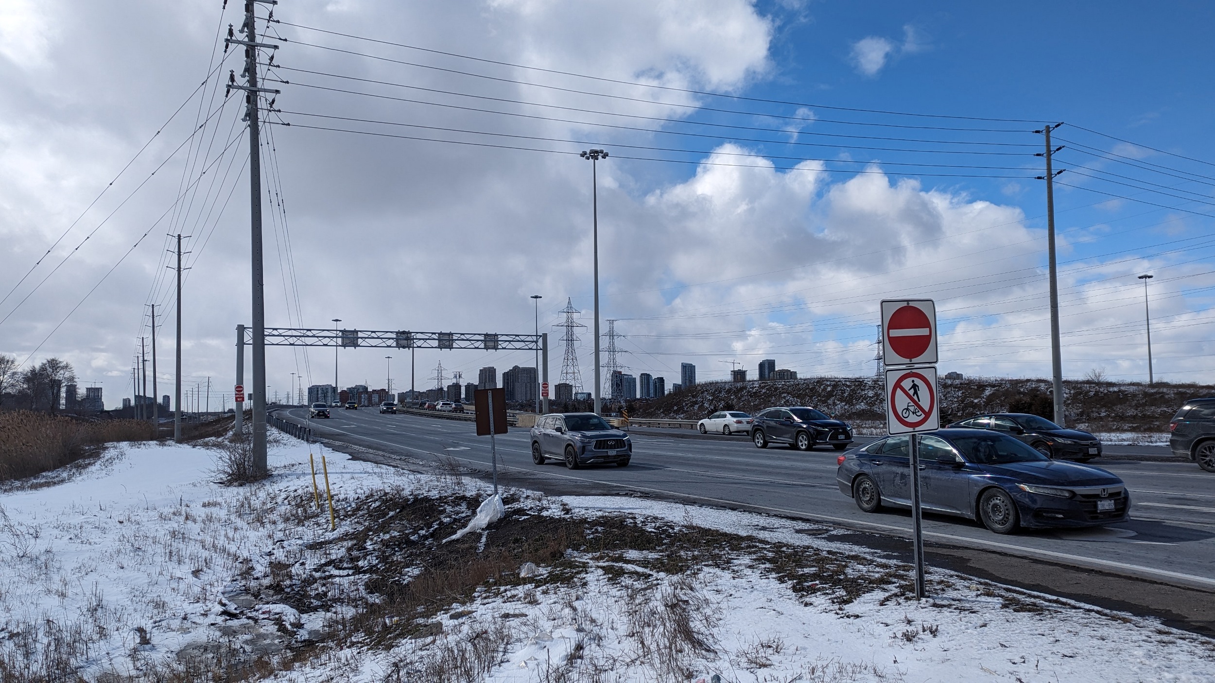
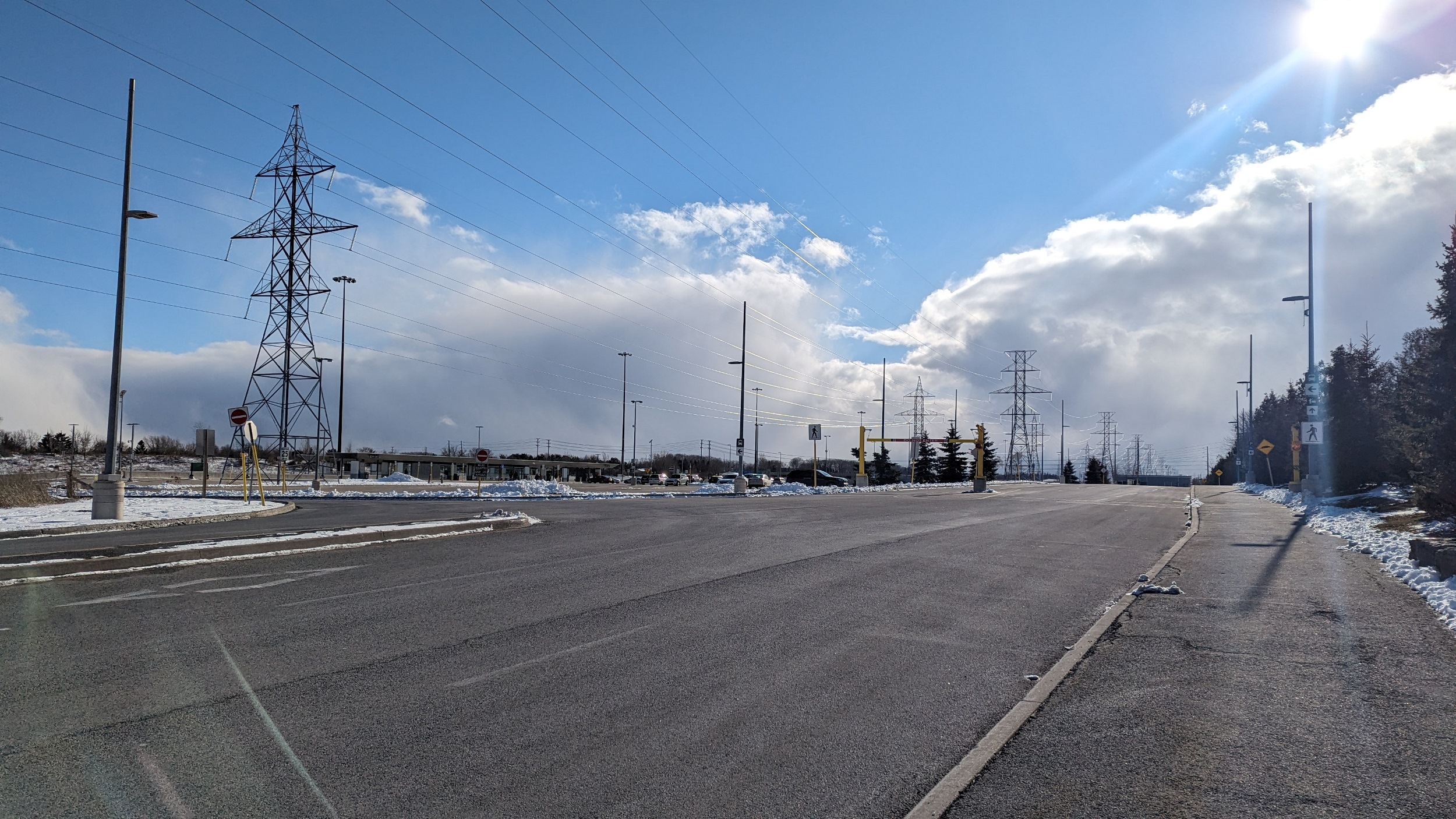
Past where the utilities and the busway meet, there’s no formal trail, but the access road is good enough. You get to Dixie Station, and while active transport through here needs serious work, it’s hard not to admire the quality of the Transitway.

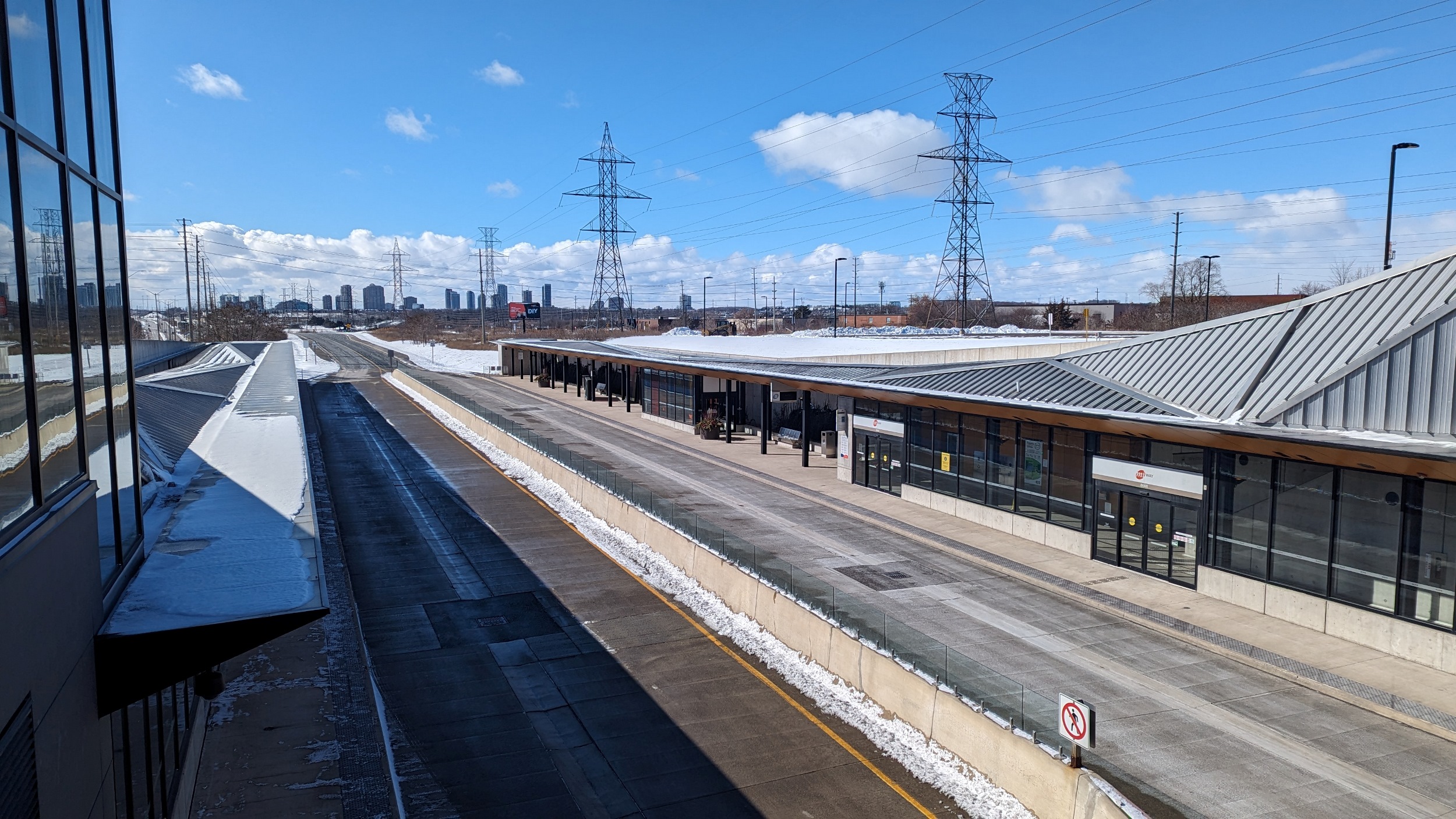
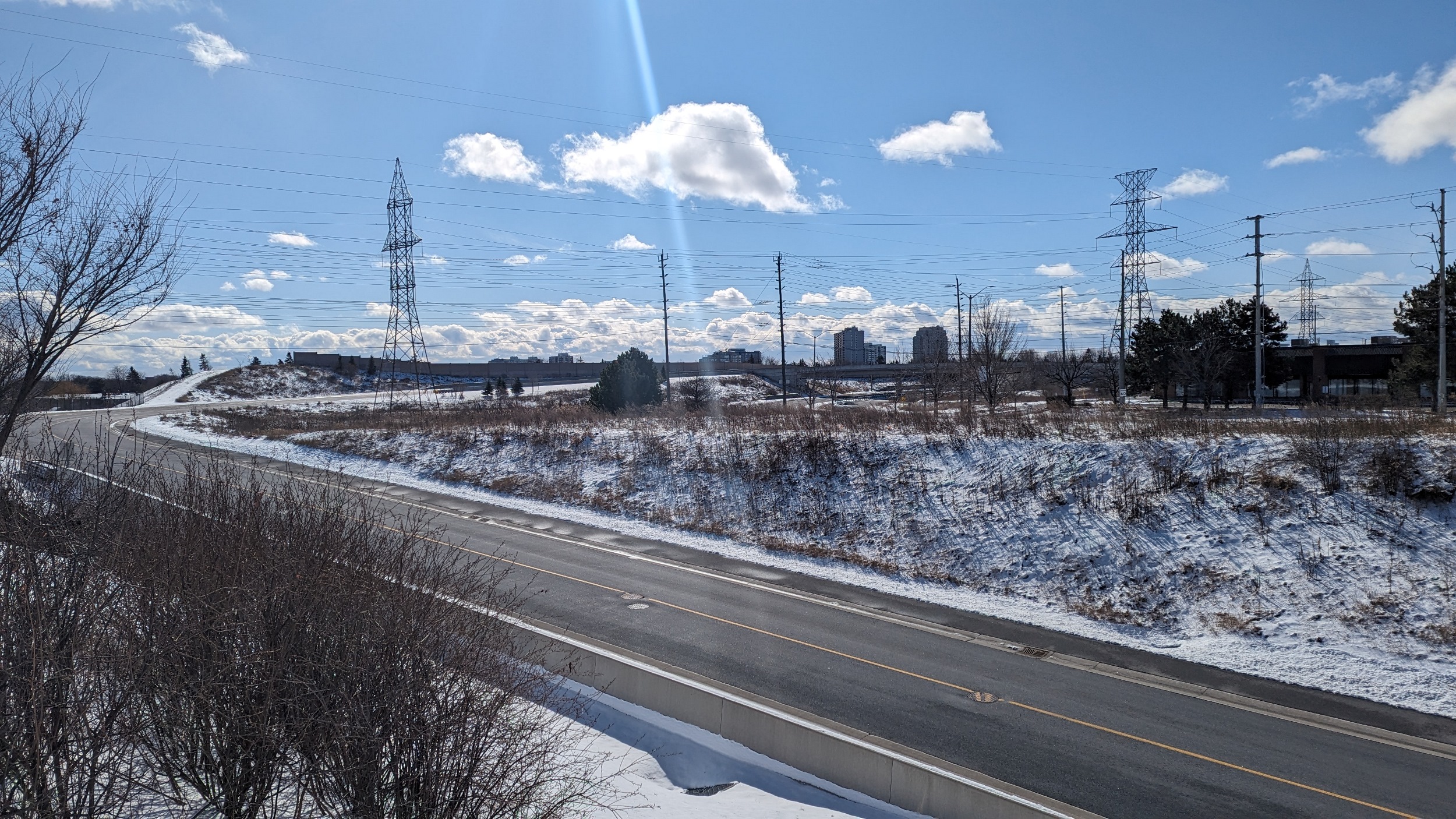
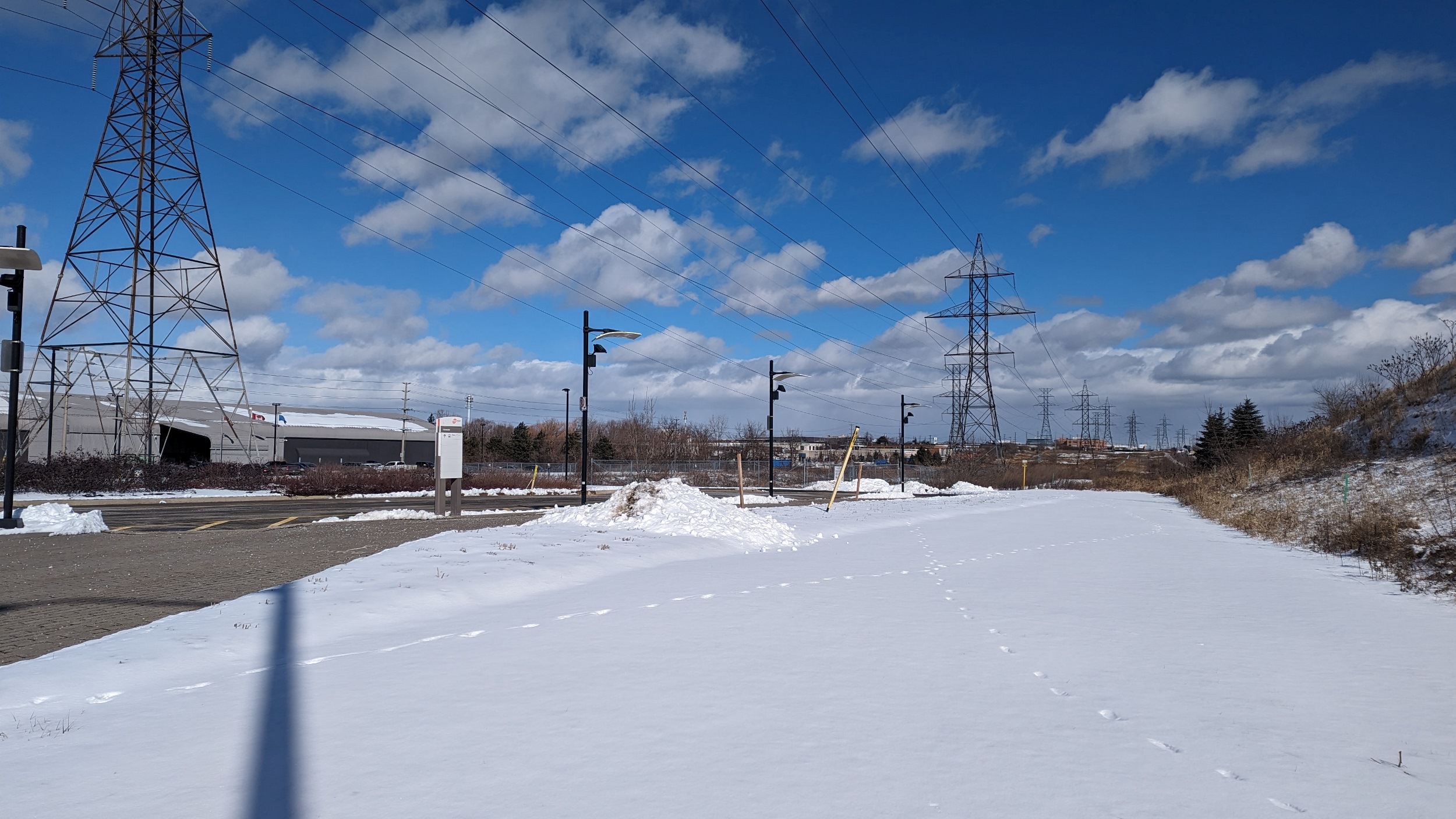
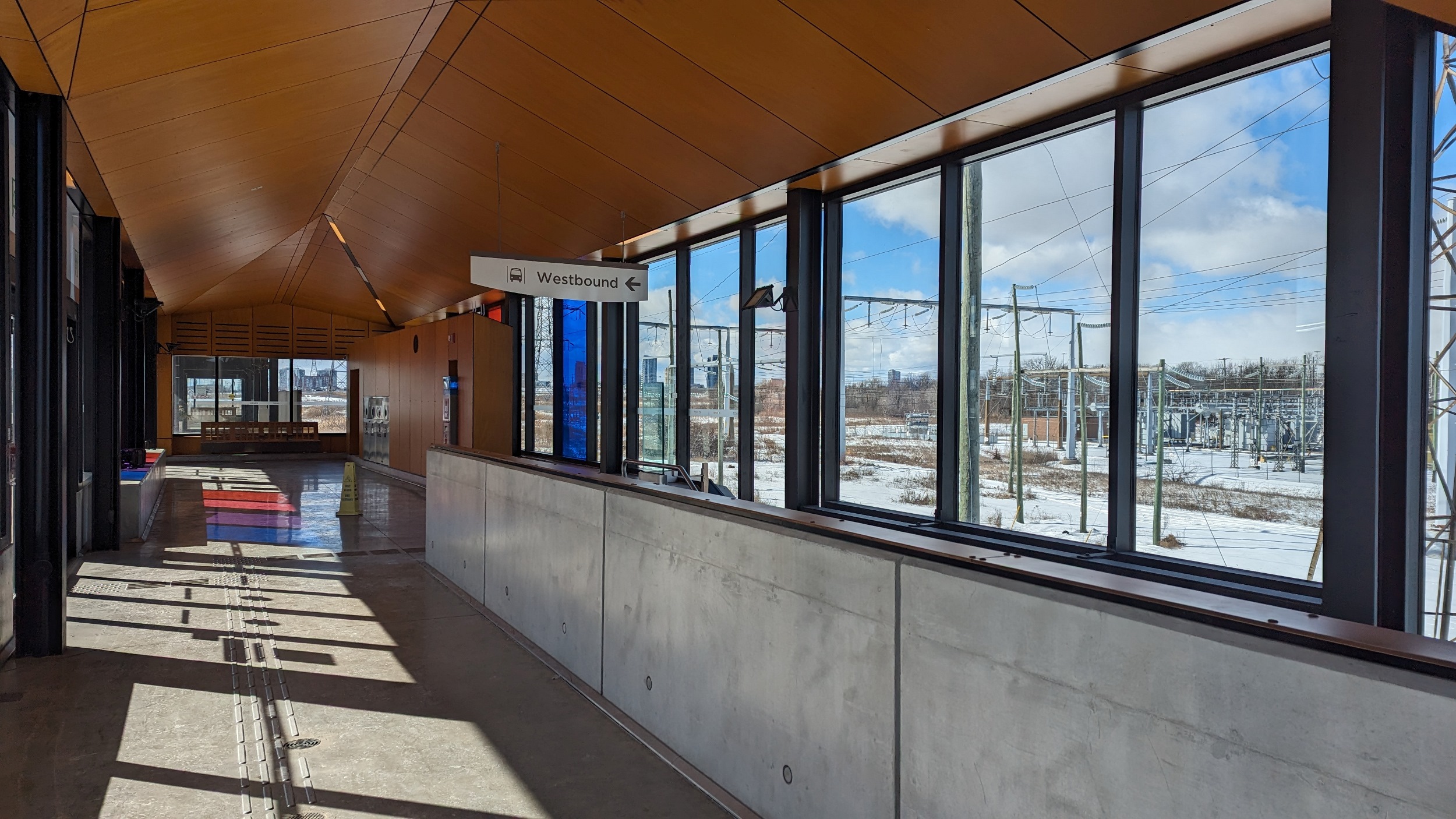
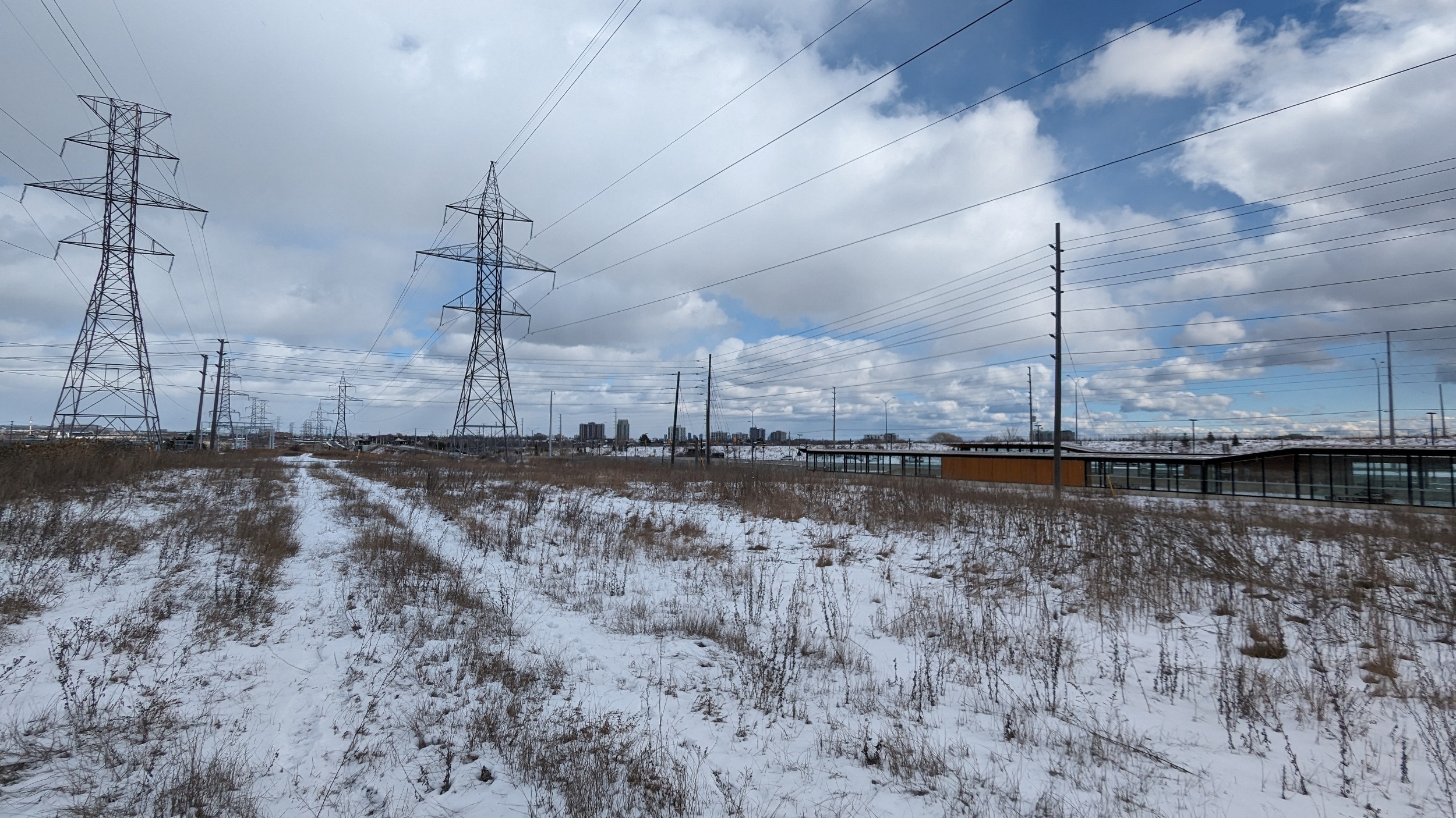
Onwards along the north side of Eastgate Parkway, which has been the sketchiest part of the walk so far. There’s a proper sidewalk on the other side, but I’m a weirdo exploring here. Eventually the busway elevates and comes to Tomken Station. Nice views of the corridor here.

Cawthra Station is relatively close to the neighbouring station to the east. This is at on and off ramps where Highway 403 bends from east-west to north-south. It’s a bit of a detour to get back to the utility corridor north of Central Parkway Station.

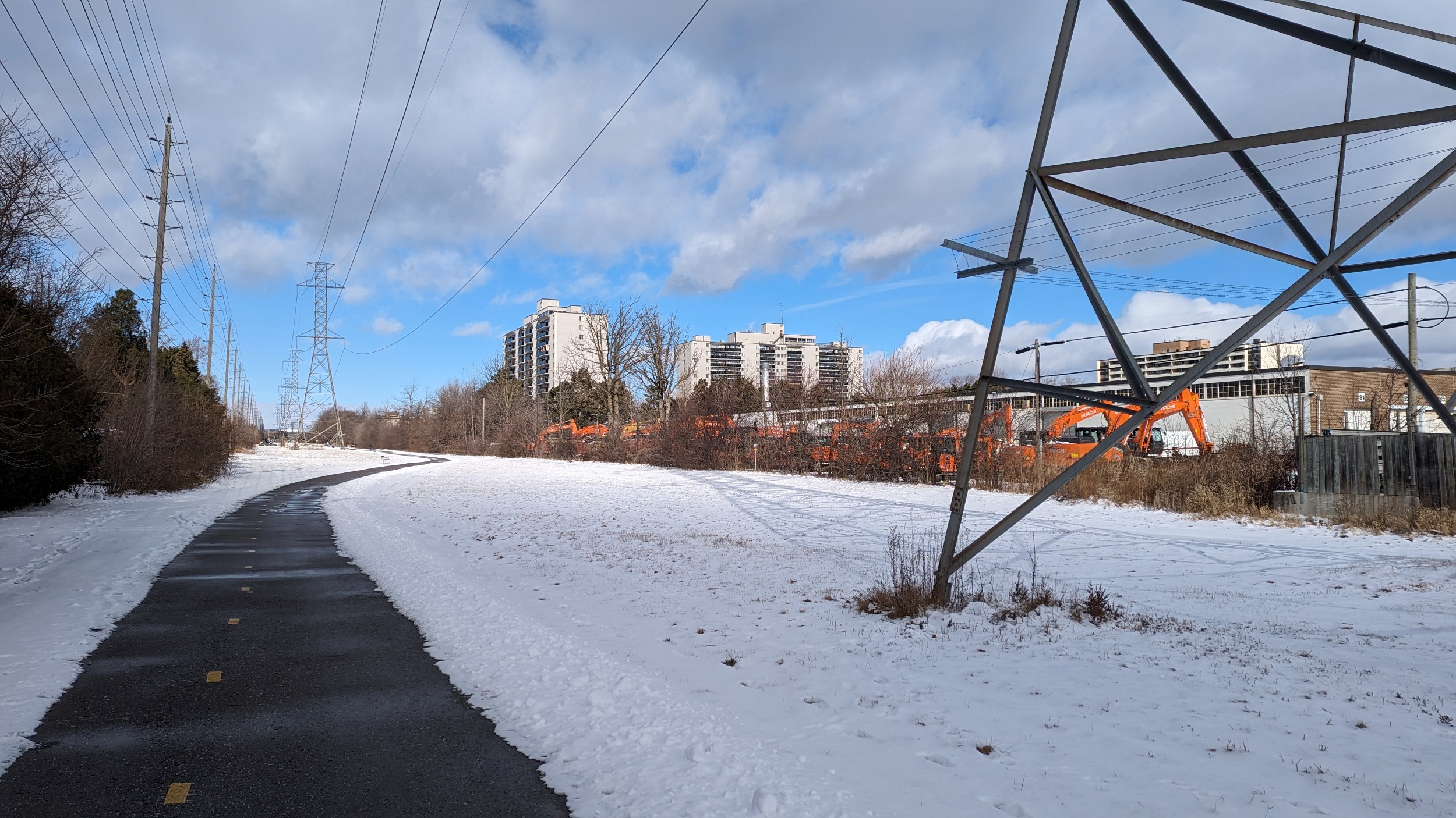
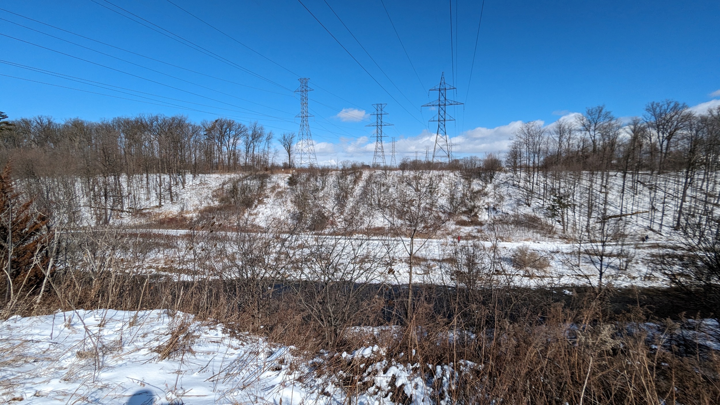
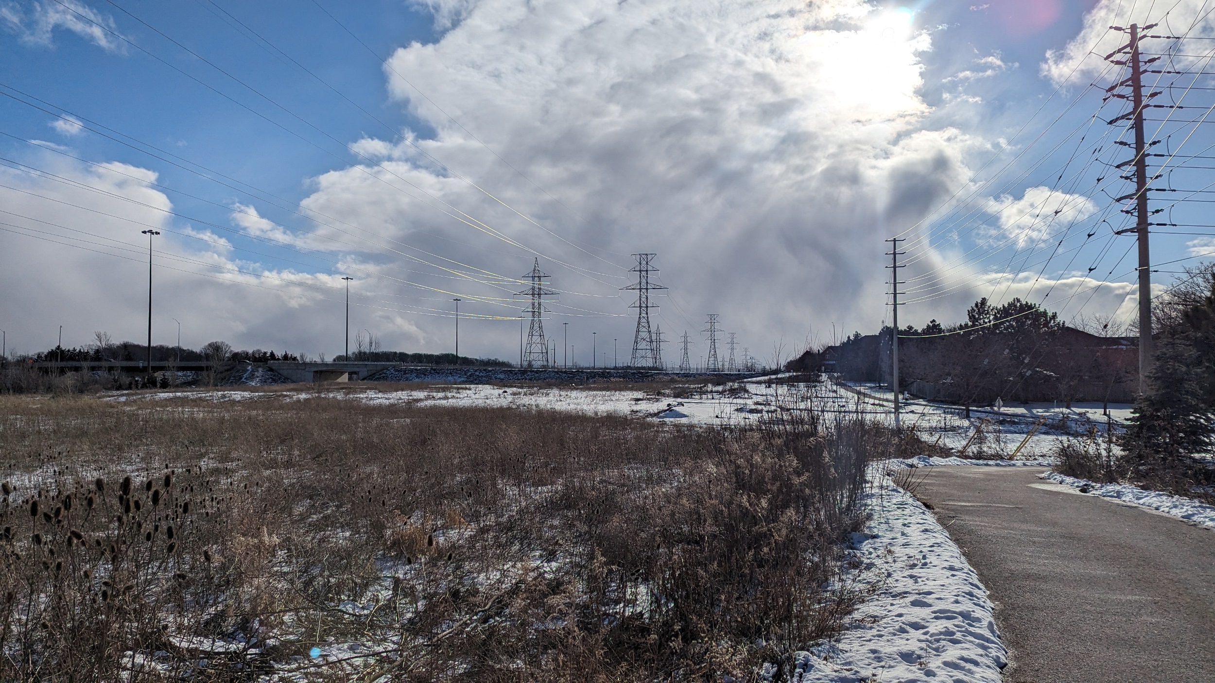
While the Transitway stays south of the 403 to connect to Mississauga City Centre, the corridor goes over to the north side. It crosses Cooksville Creek, and construction for the Hazel LRT line is visible in the distance.


It’s a long jaunt between Hurontario and Mavis. West of Confederation, there’s a gate and danger signs, so I begrudgingly heed the warning and detour onto local streets. Back on corridor now.


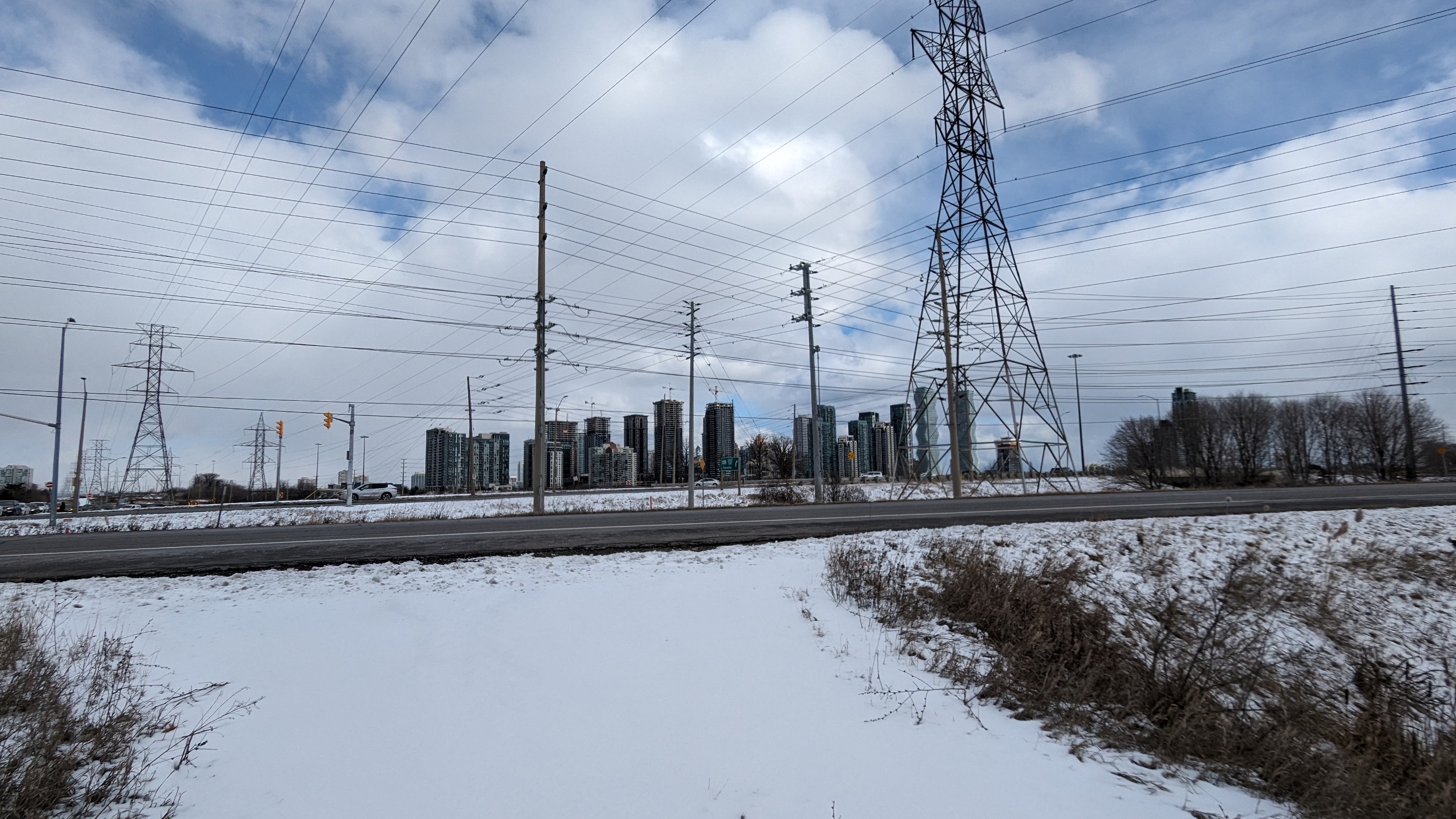

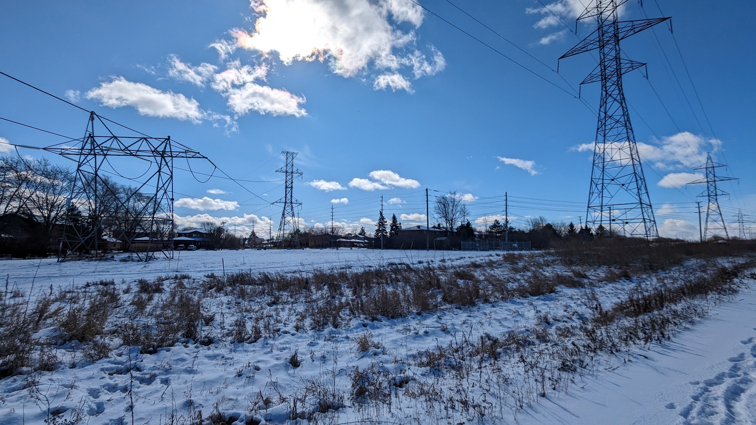
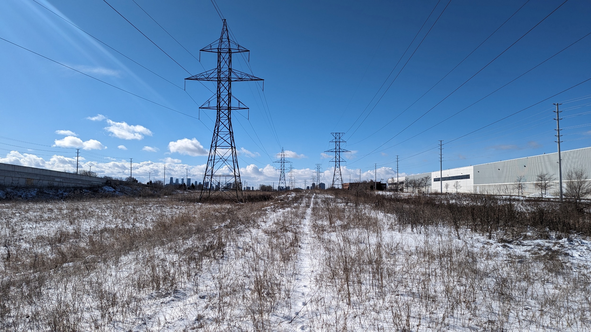
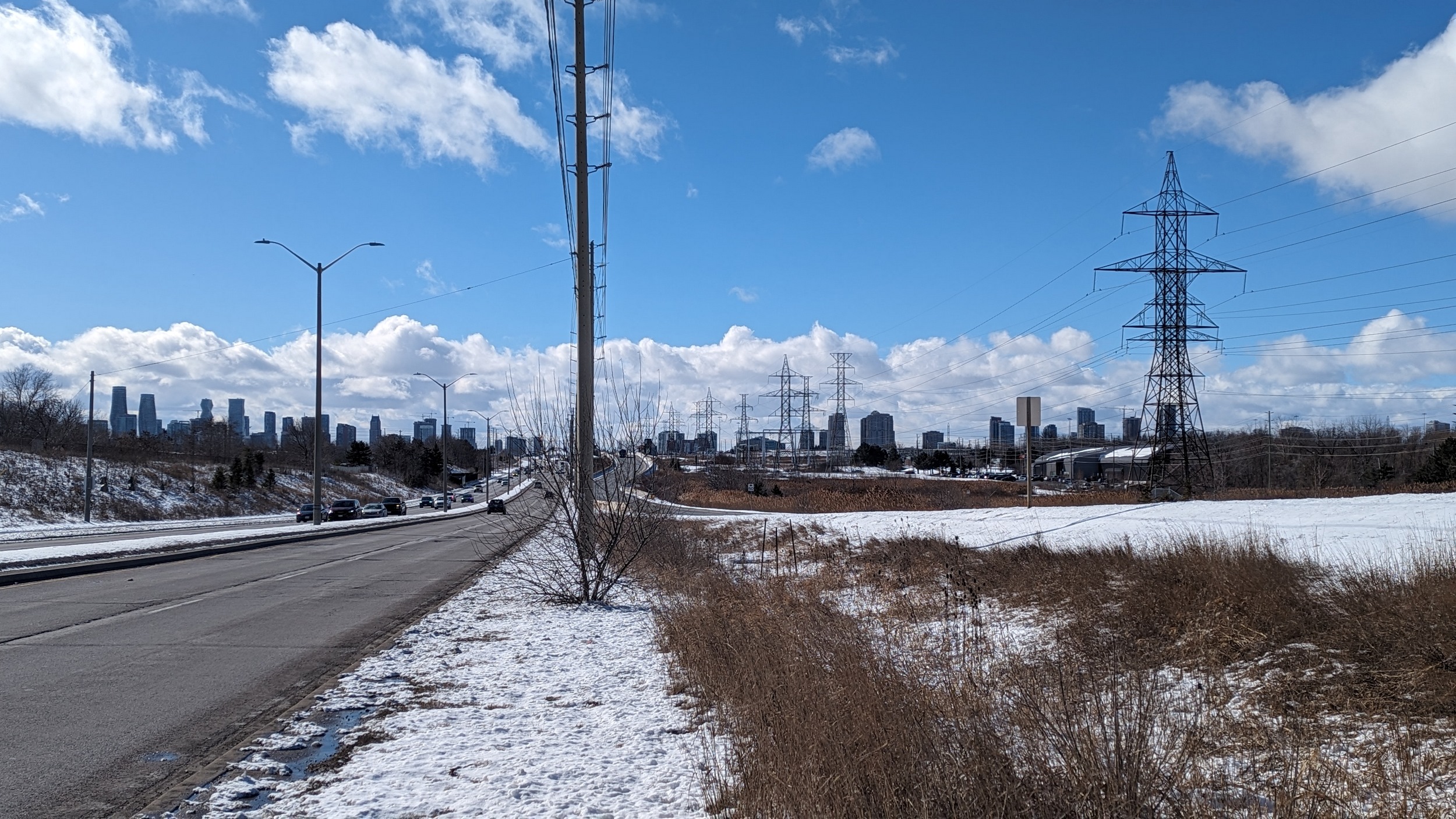
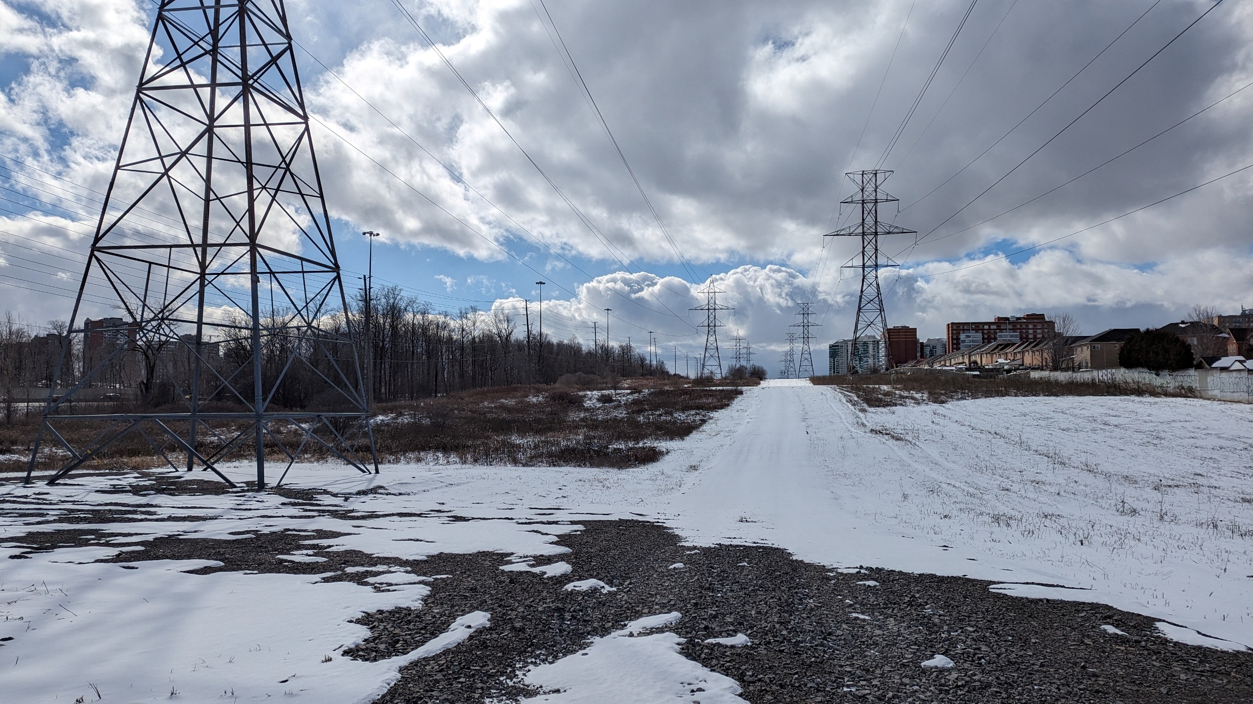
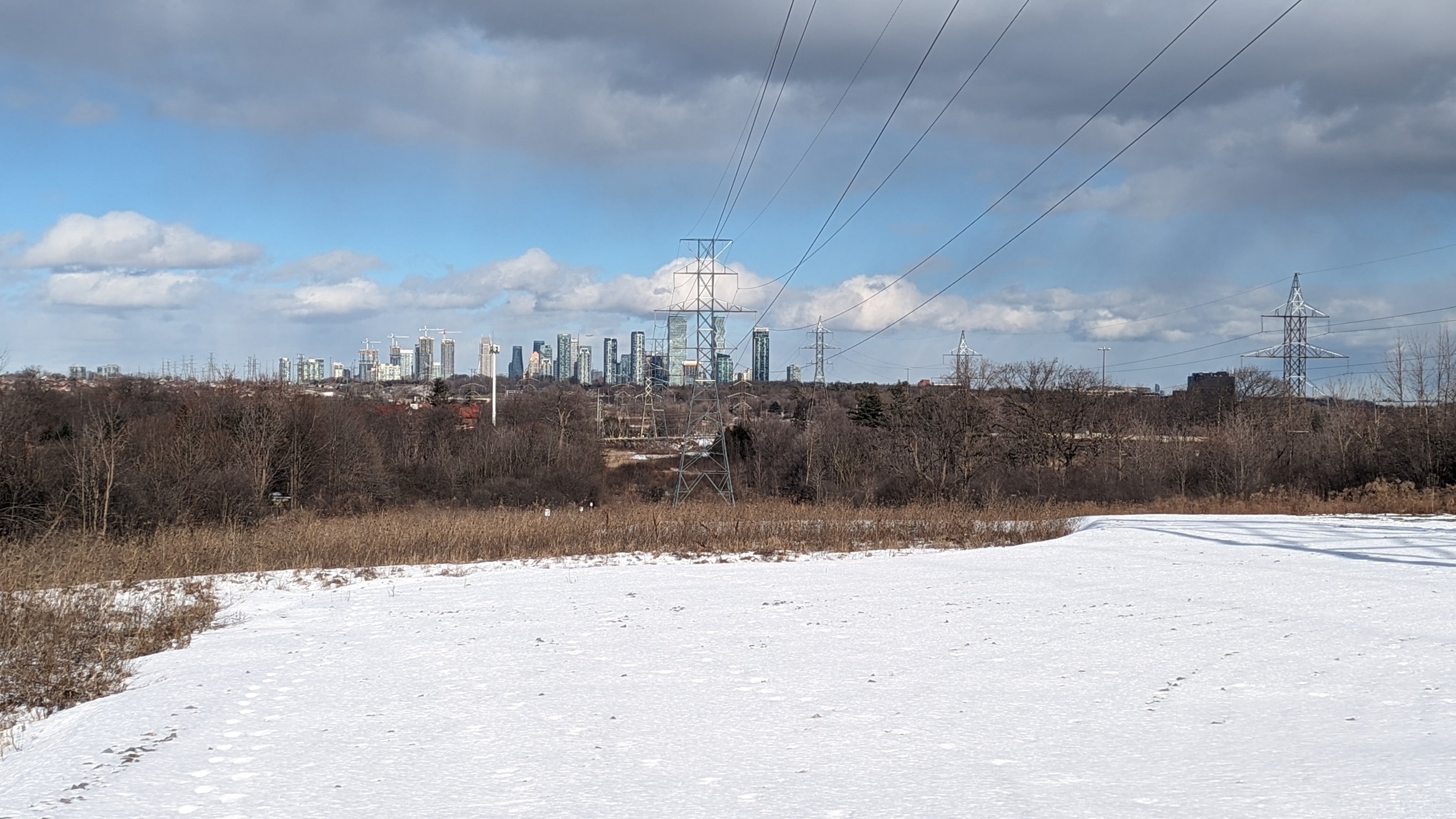
Long access roads past a large transformer station. A berm beside the highway helps dull the noise. A more sturdy road connects you to Rathkeale. Mississauga City Centre is beginning to disappear in the distance.


West of Creditview Road, a huge detour is required to get around the CPKC Galt Subdivision / GO Transit Milton Line, the Credit River, and Mullett Creek. Finally, you can link up back with the corridor west of Mississauga Road.


First significant grade change. Mississauga City Centre is back in view. After some fence hopping, you arrive at Erin Mills Station. And there’s a nice connection between the station and Glen Edin Drive.
West of Glen Edin is a nice stretch, and you’re parallel to the busway again. It flies over two highway ramps and a road.
Finally, after 6 hours of walking through brush and snow, I’ve come to Winston Churchill Station, the west terminus of the Mississauga Transitway. While the utility corridor continues west, I’m calling it a day here.

Date: February 17, 2024
Length: 26.5 km
Type: Utility