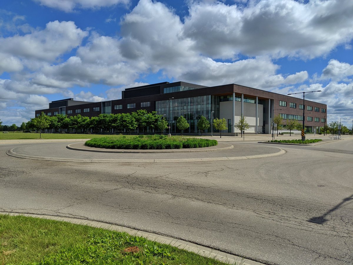
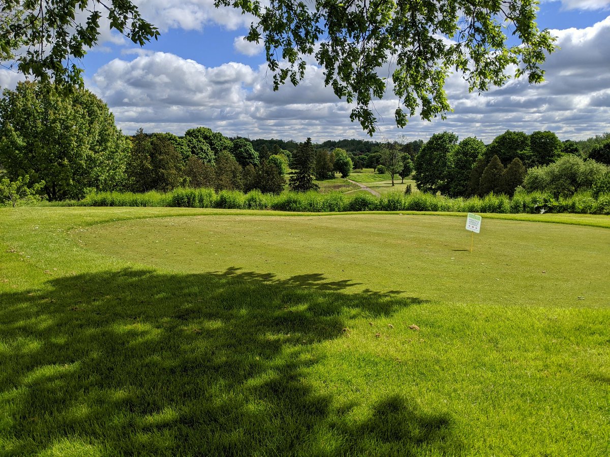
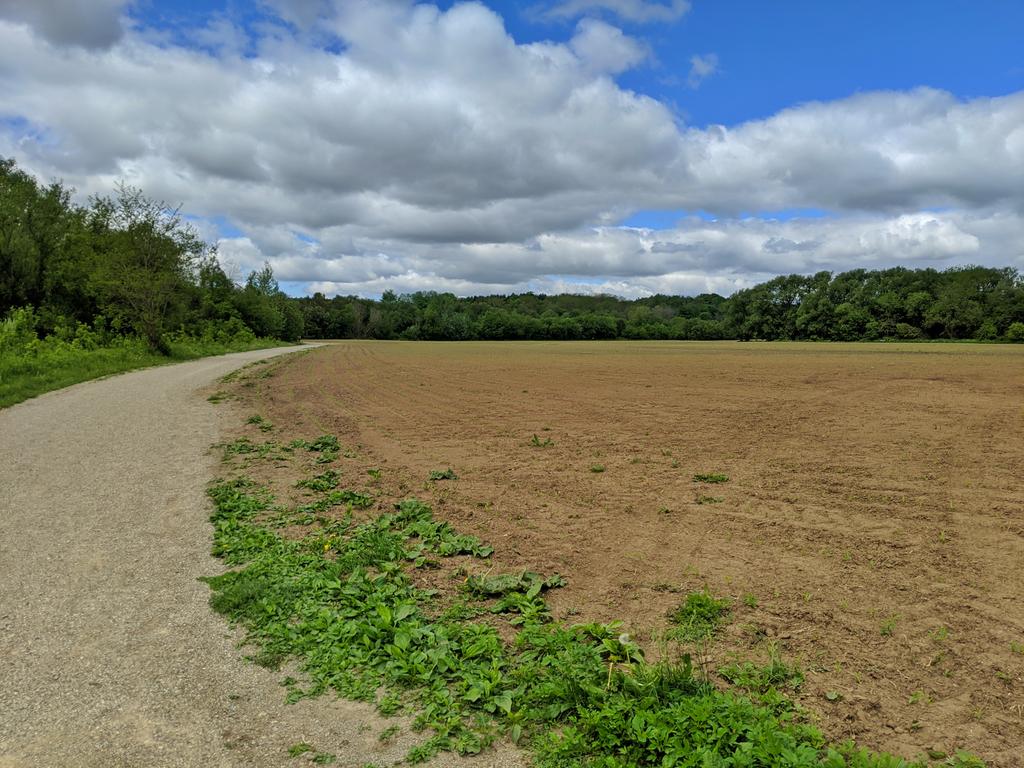
Good morning. Lovely day for a walk. I’ll be returning to the Grand River today, and walking upstream from where I left off back in October, starting off from Conestoga College – Cambridge Campus. Gotta get across a field, and over the 401. It’d be nice to just stick to the riverine valley, but it’s taken up by golf. That said, the club does accomodate trail users through the main entrance pretty well.


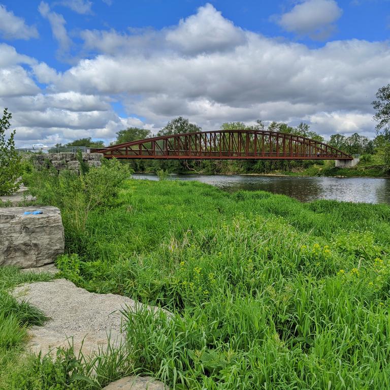
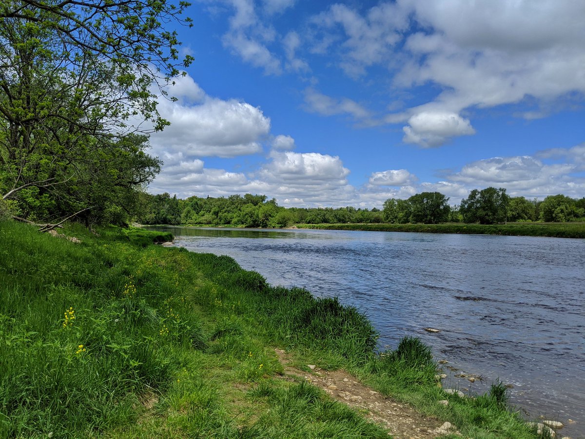
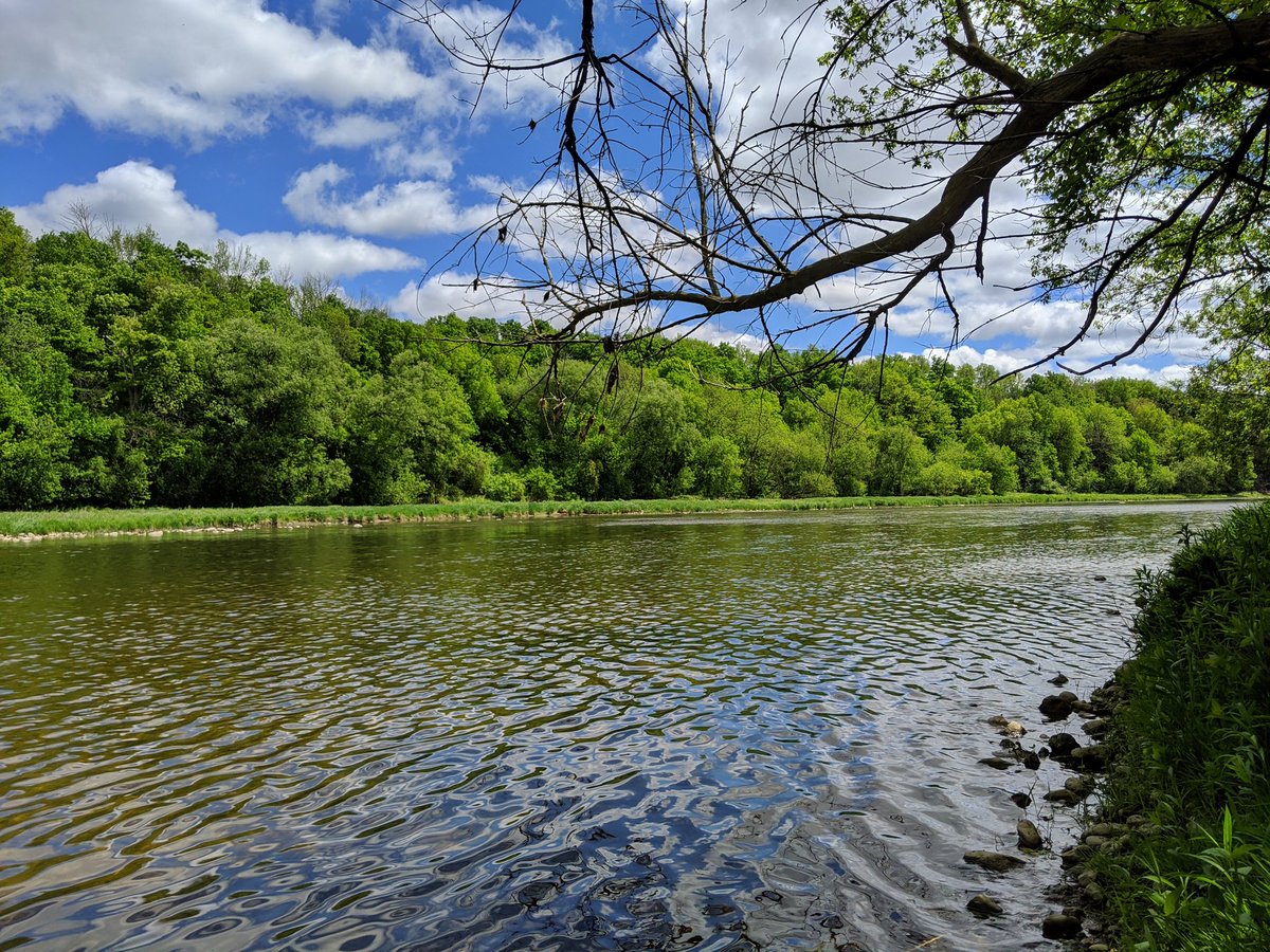
Down into the valley and across a stellar bridge. River is calm today.


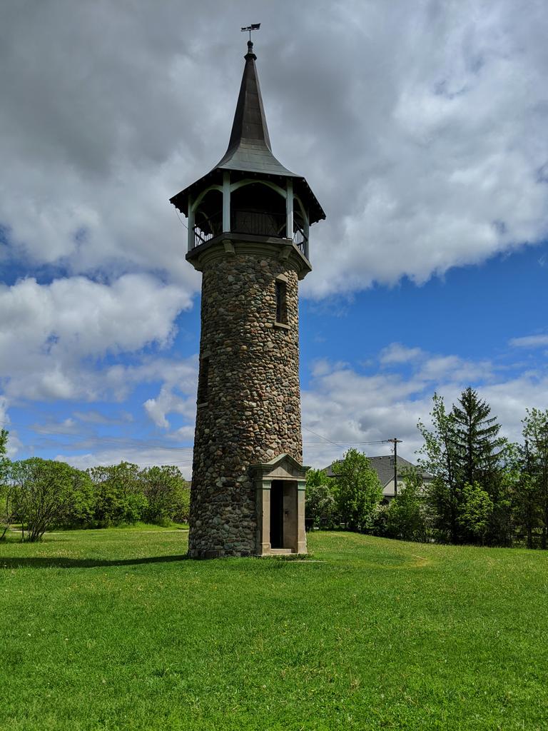
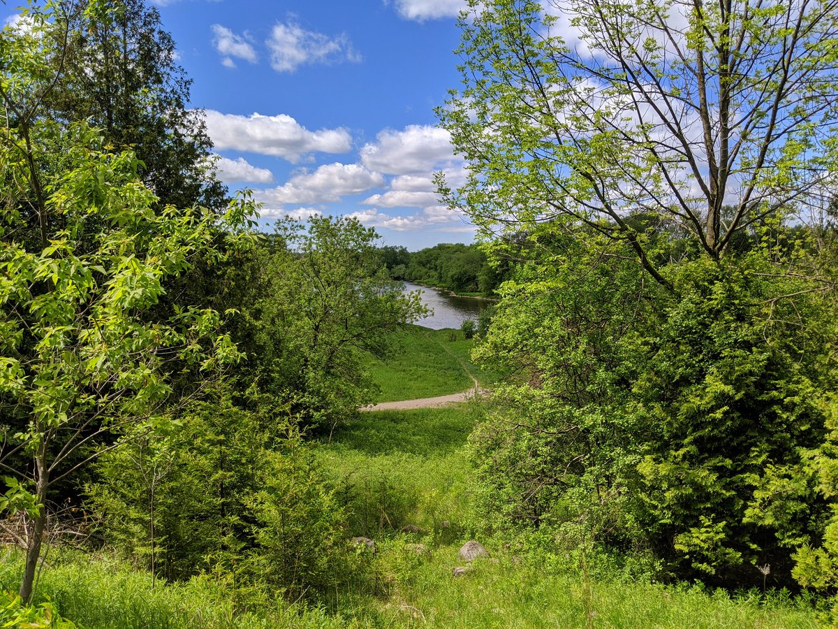
Agriculture is still alive here, 220 years after the first Pennsylvania Dutch Mennonites came to the area and purchased Six Nations land that was taken by government. Pioneer Tower marks where these first farms set up in what became Waterloo County. Fantastic view of the Grand.


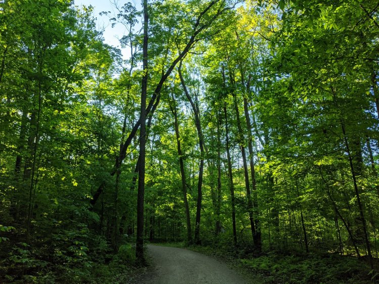
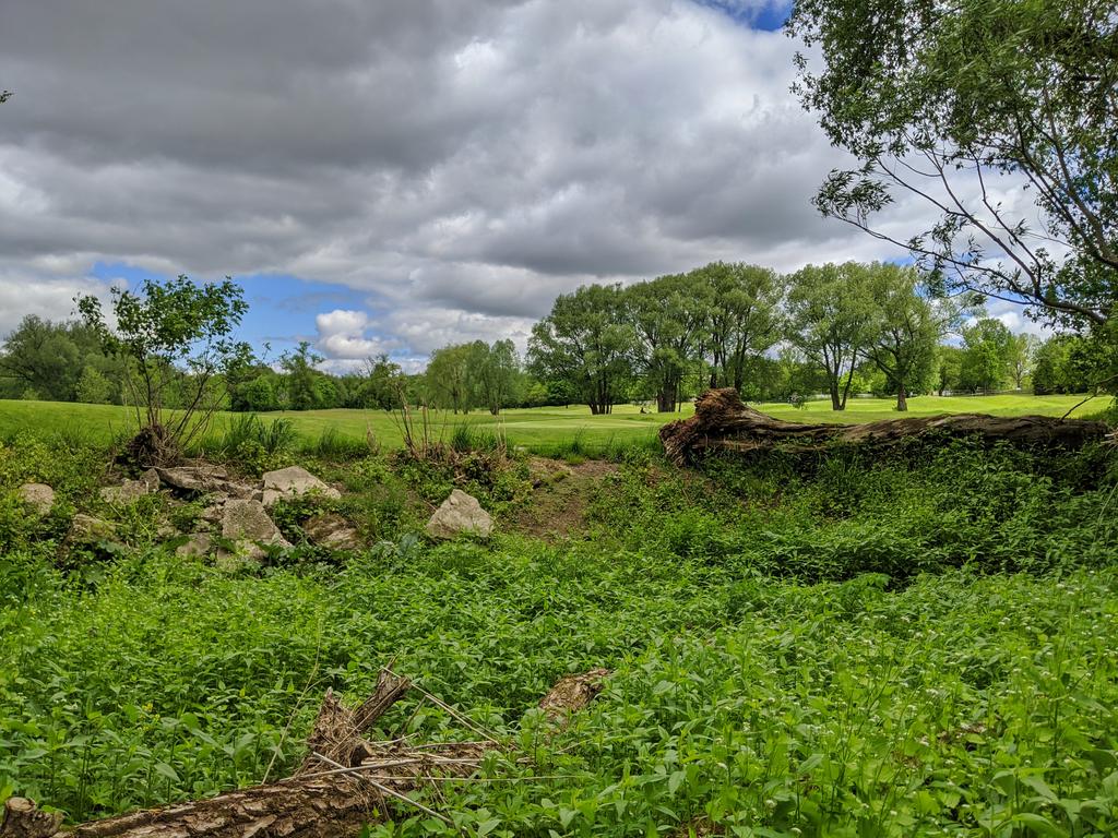
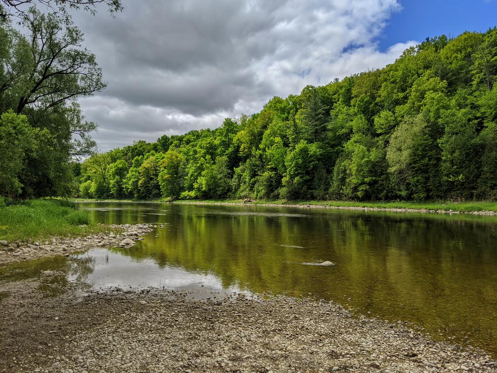
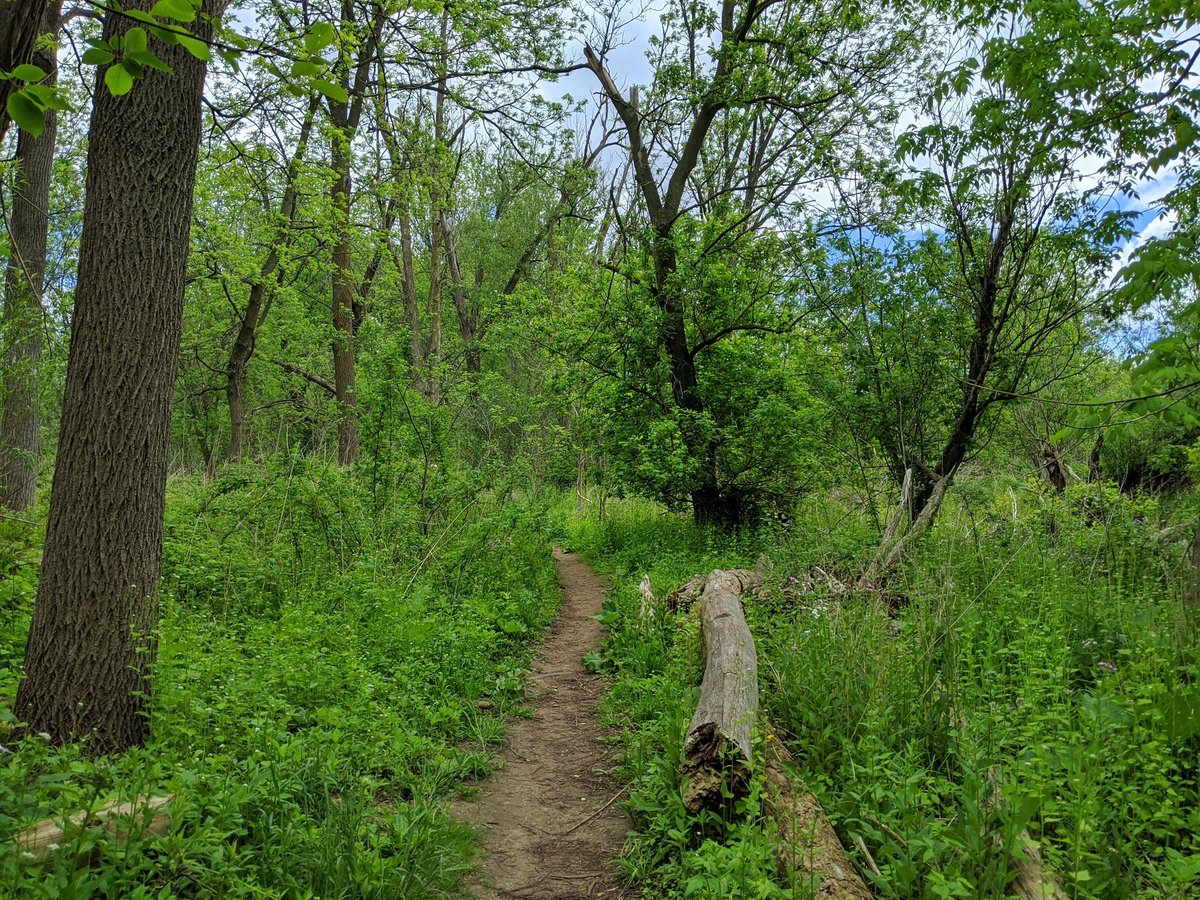
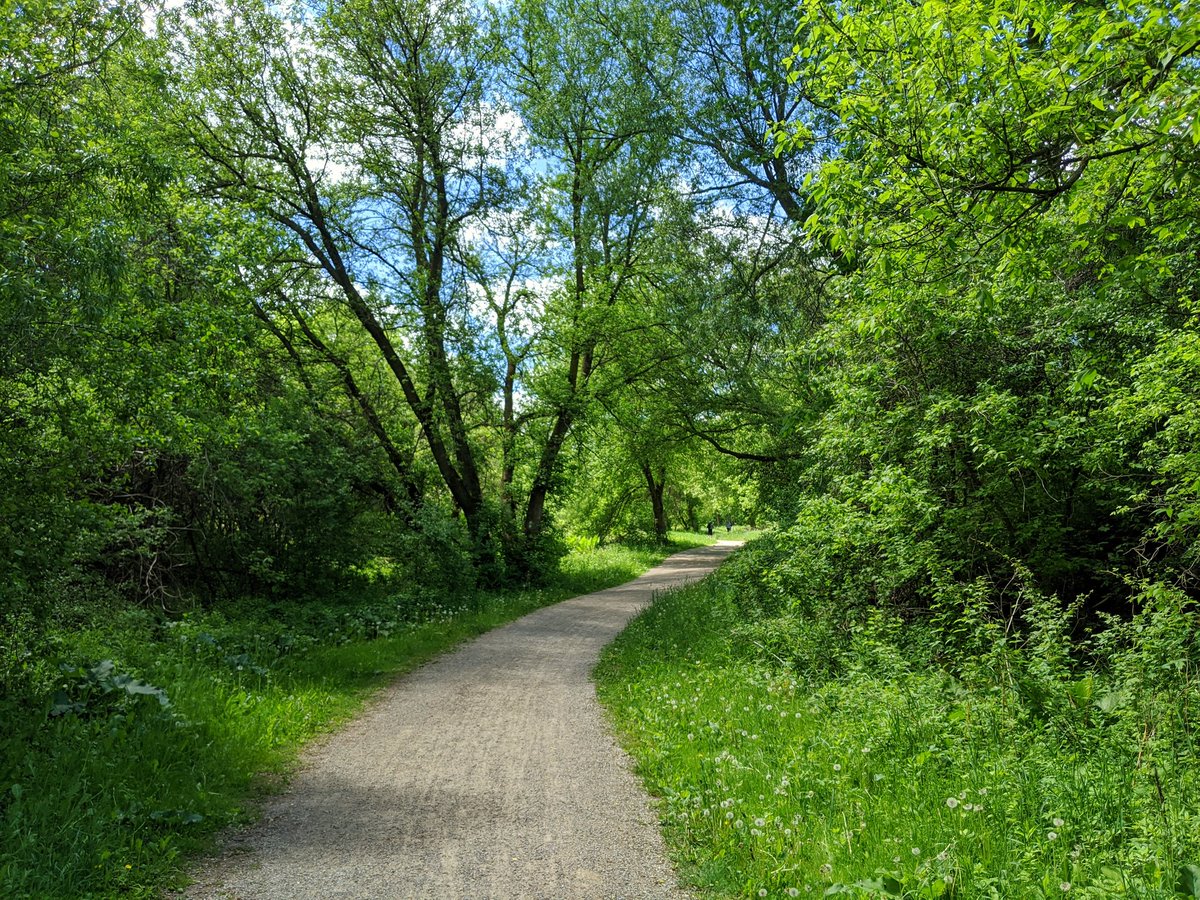
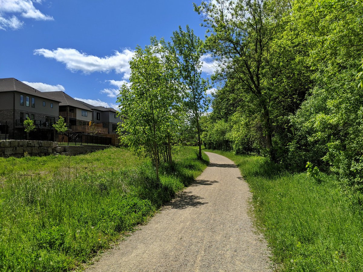
Back down into the valley. There’s another golf course here, but the riverbank remains public property, and the trail is in thick old forest growth. This is plenty fine, just wish we could do the same downstream.


Around the golf course to the Hidden Valley Dam. Add some sunshine and the view becomes 10x better.


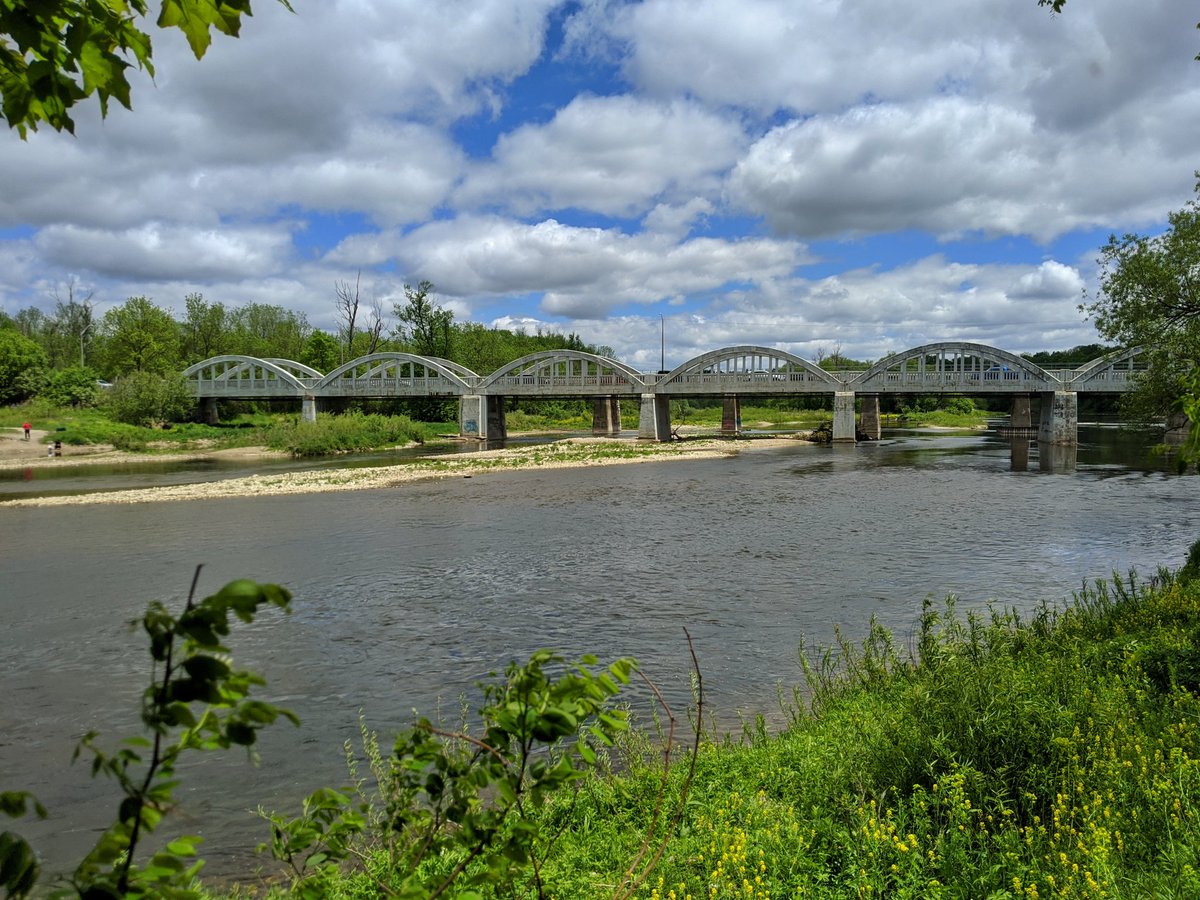
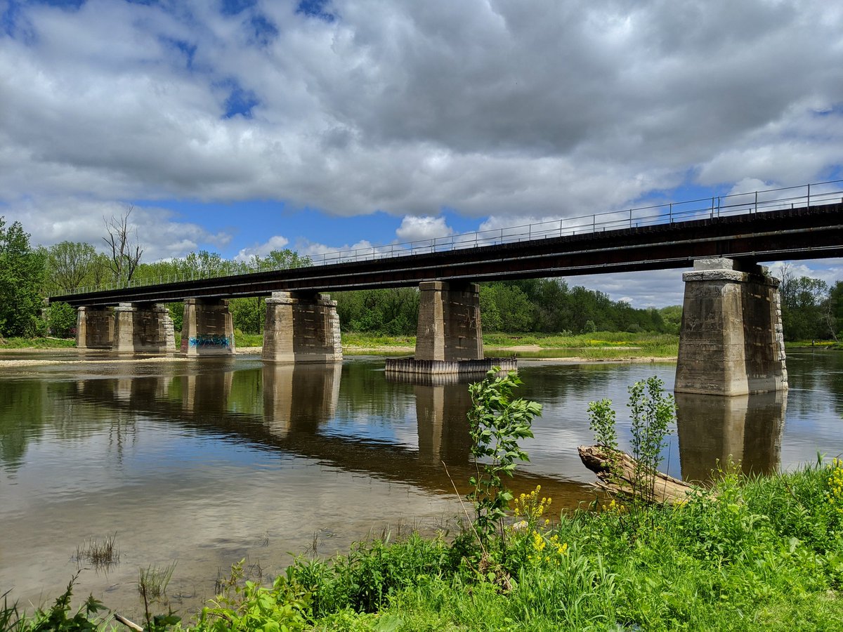
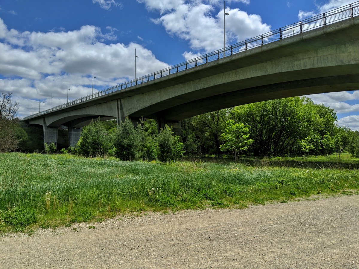
The valley has been quite peaceful up until this point. Now there’s three river crossings, two of which are contributing to a foreign din: the Conestoga Parkway, King Street and the CP Waterloo Subdivision. No matter, things will quiet down again.


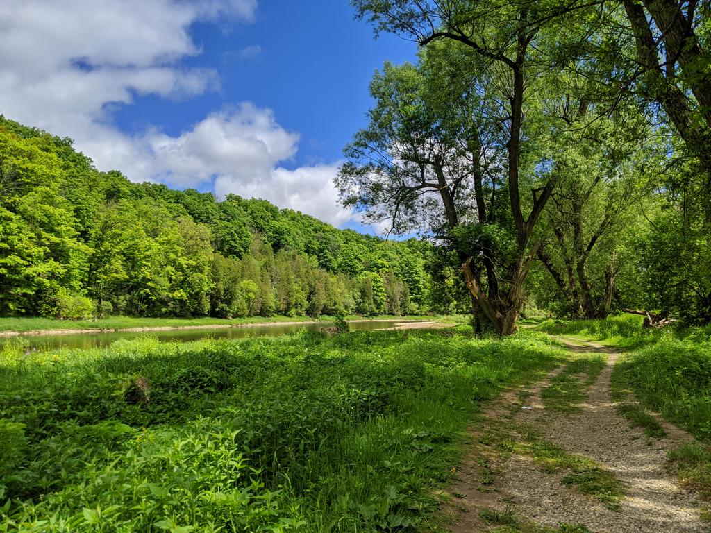
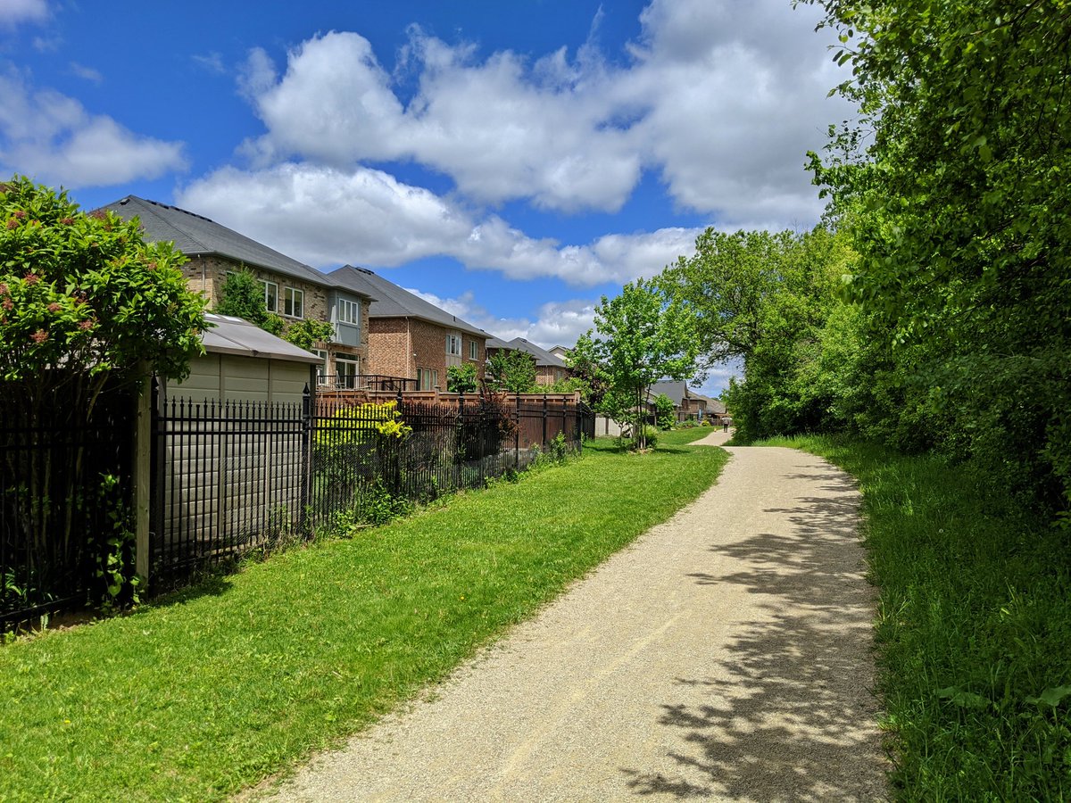
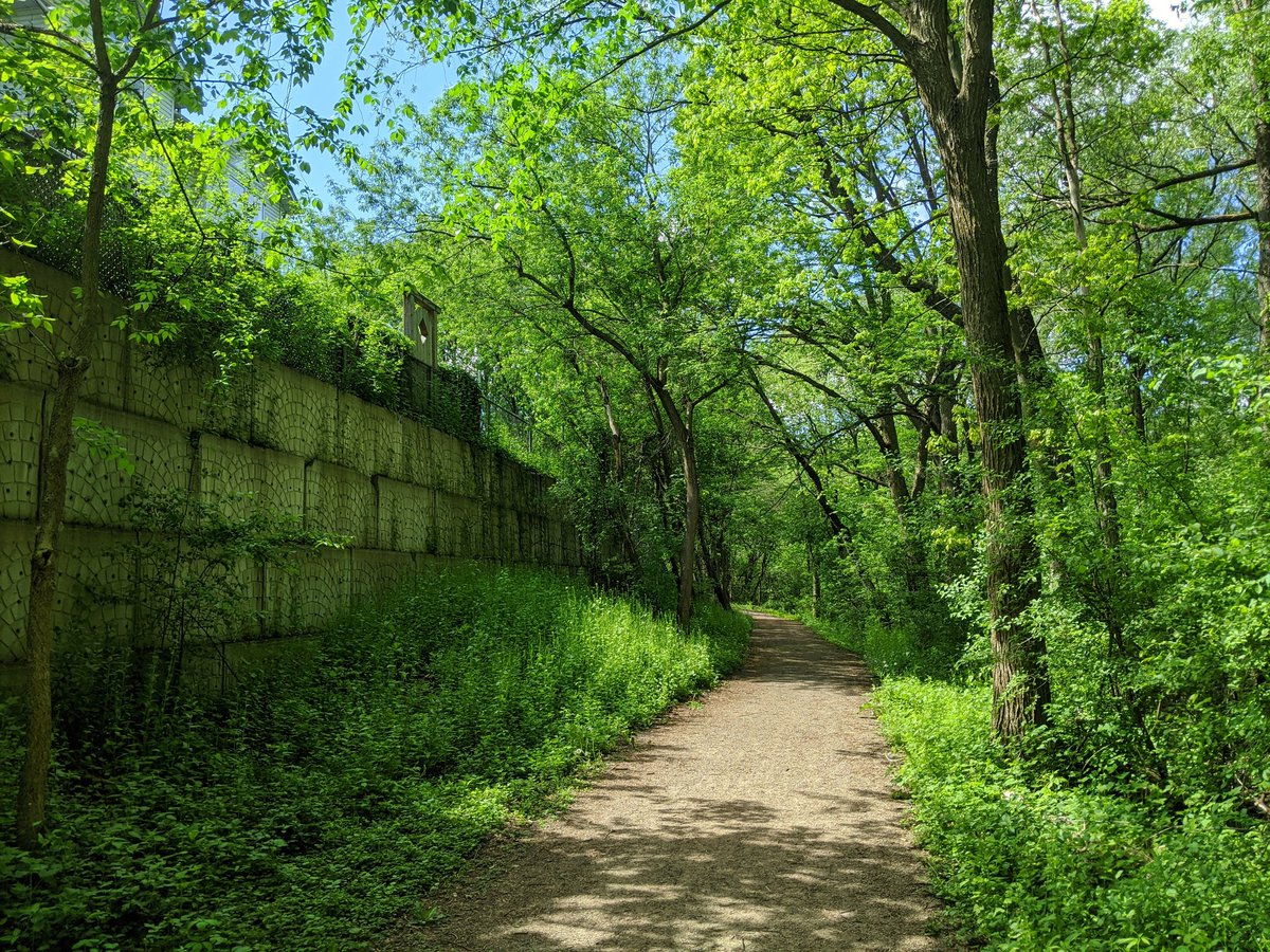
So we’ve gone from formal stonedust trail, to rocky cart road, to vegetated deer path. This was a nice open stretch, but got a little lost adjacent to a Chandros Drive townhome complex. Found my way up the slope to the tablelands again, another great view.


Frustrating to get pushed from the river by private mansions. Taking Morrison Road over the Chicopee Dam forces pedestrians right onto the road. I might have missed a path to avoid this, but if so, there were no signs. Anyway, trail resumes, and descends back into the valley.


A relatively new trail leads across a small tributary, Idlewood Creek, which recently underwent a revitalization. Then wide stonedust trails resume underneath and east of the massive Fairway Road bridge.


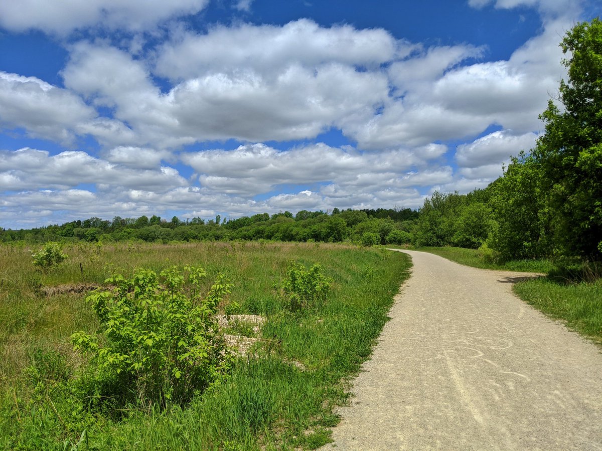
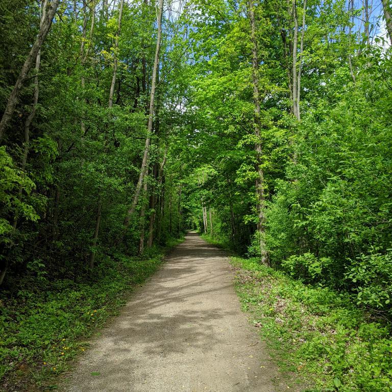
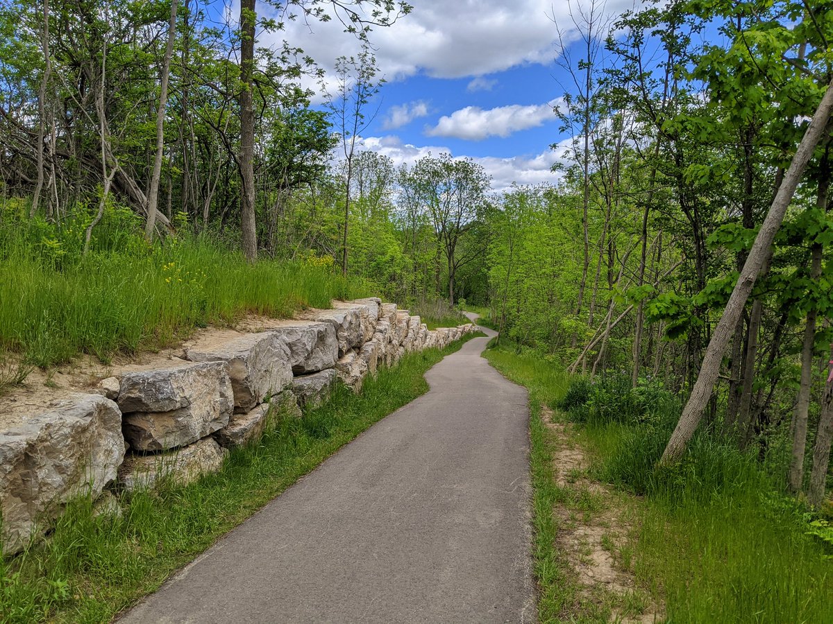
The stonedust trails are bearable today, but are otherwise wide open and exposed to the sun and heat. Luckily there are forested mountain bike trails that provide a lush experience and plenty of shade.


A long switchback to a peak, and a steady decline back down. We’re on the border between Kitchener and Breslau, so still stellar quality valleylands, with the odd drone of air traffic from Waterloo Airport.


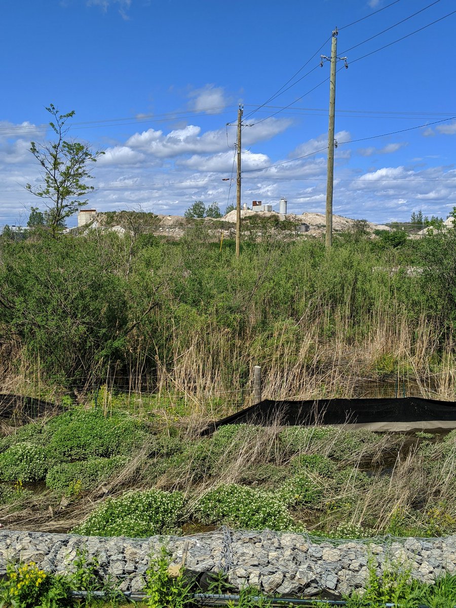
Forced from the banks of the Grand again, this time by a subdivision and an aggregate pit. So I’ll be heading up Kolb Creek to Highway 7 and calling it a day.


Date: May 31, 2020
Length: 20.2 km
Type: Riverine