It’s a good day for a walk. Going to start near Dundas and Franklin, and head a block east to start tracing Moffat Creek, from near where it flows into Cambridge, downstream to the Grand River. Let’s go.

Moffat Creek starts somewhere in Puslinch I believe. It enters Cambridge, and your first urban glimpse may be at the end of Wesley Boulevard. I didn’t push through the bush to see it, just followed along stormwater ponds until a bridge crossing near Dundas.


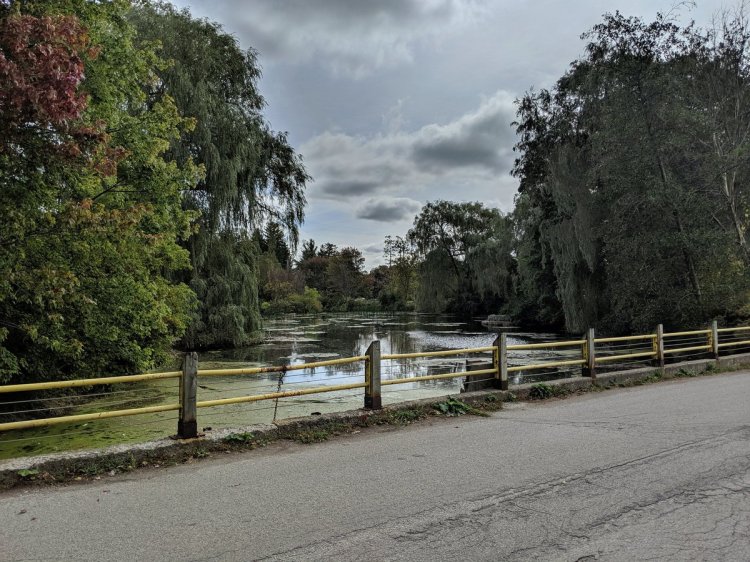
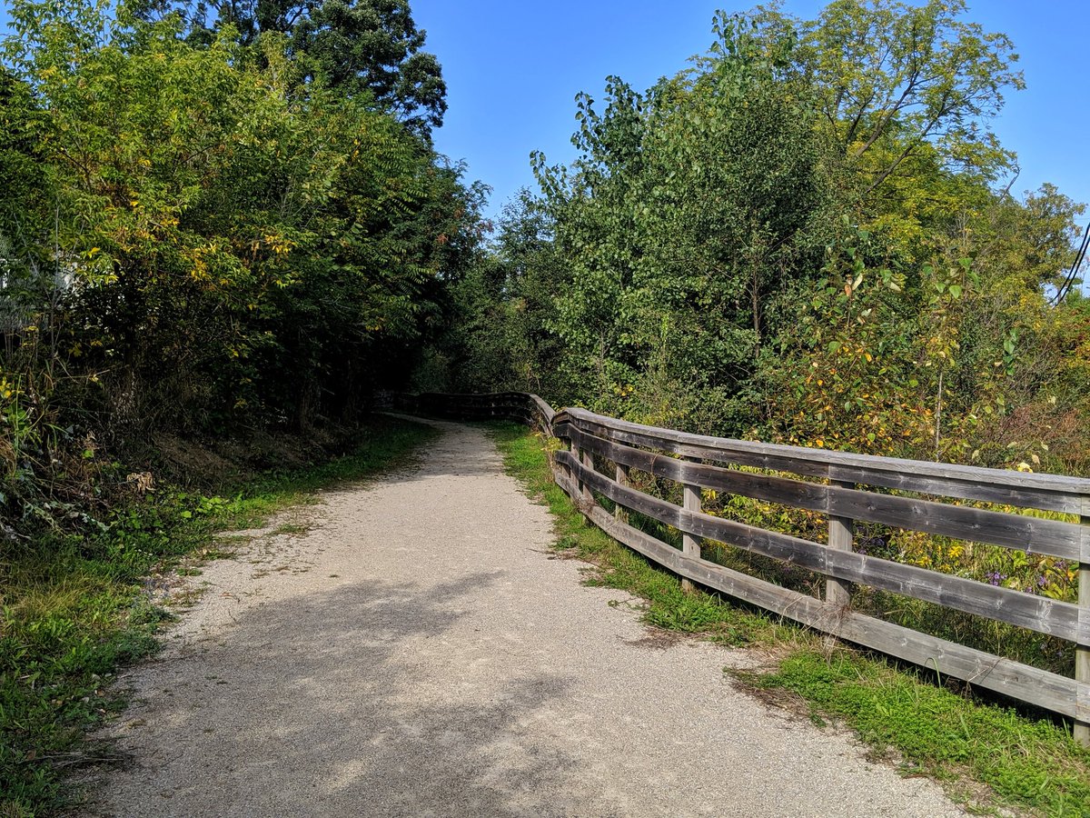
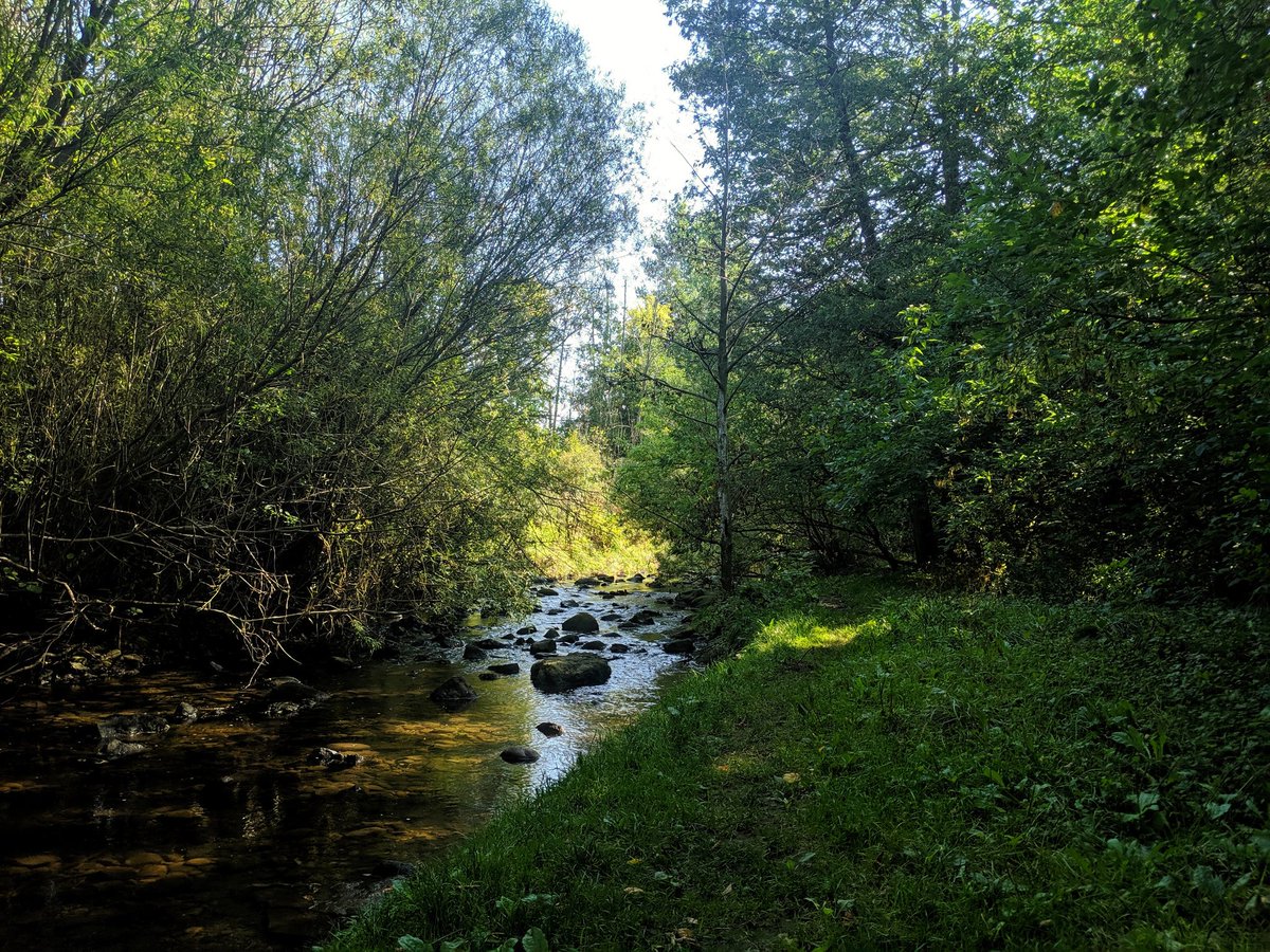
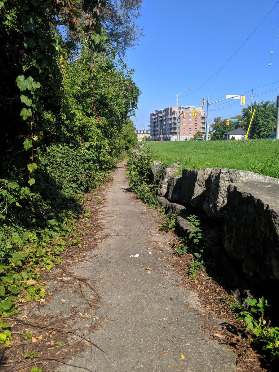
Past Dundas, there’s a formal city trail parallel to the creek. It’s got plenty of tree cover, and is a mix of soil concrete and boardwalk. This is done proper.


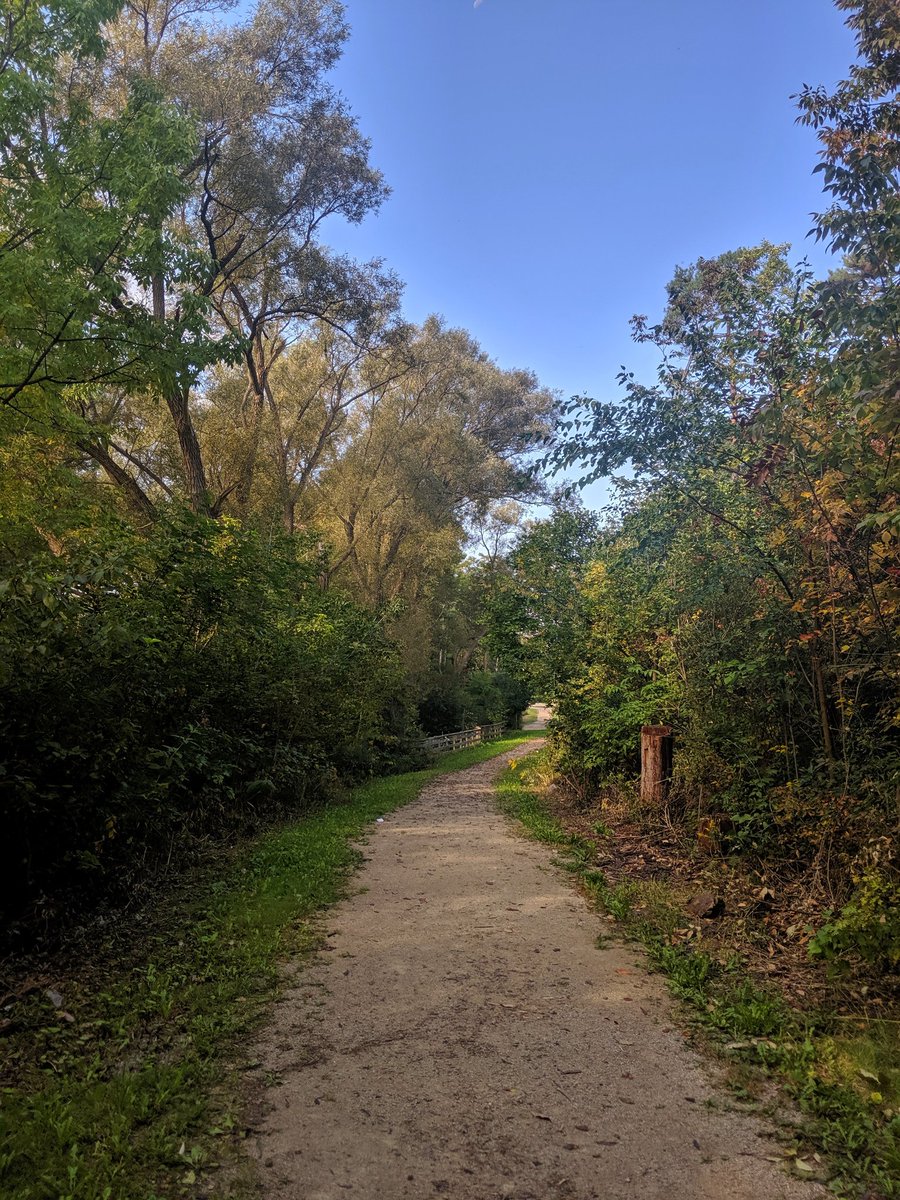
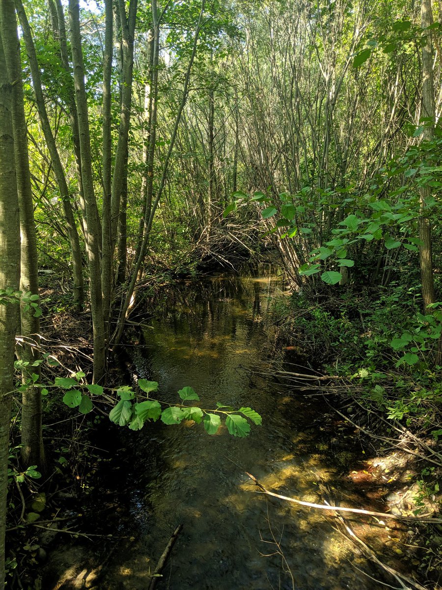
The treatment continues past Franklin; there’s plenty of access points, and a bridge over a drain! I had friends, colleagues and Metroscapes fans that were UW grads or emigrants of Waterloo Region, and they told me I’d enjoy the nature trails. They were right.
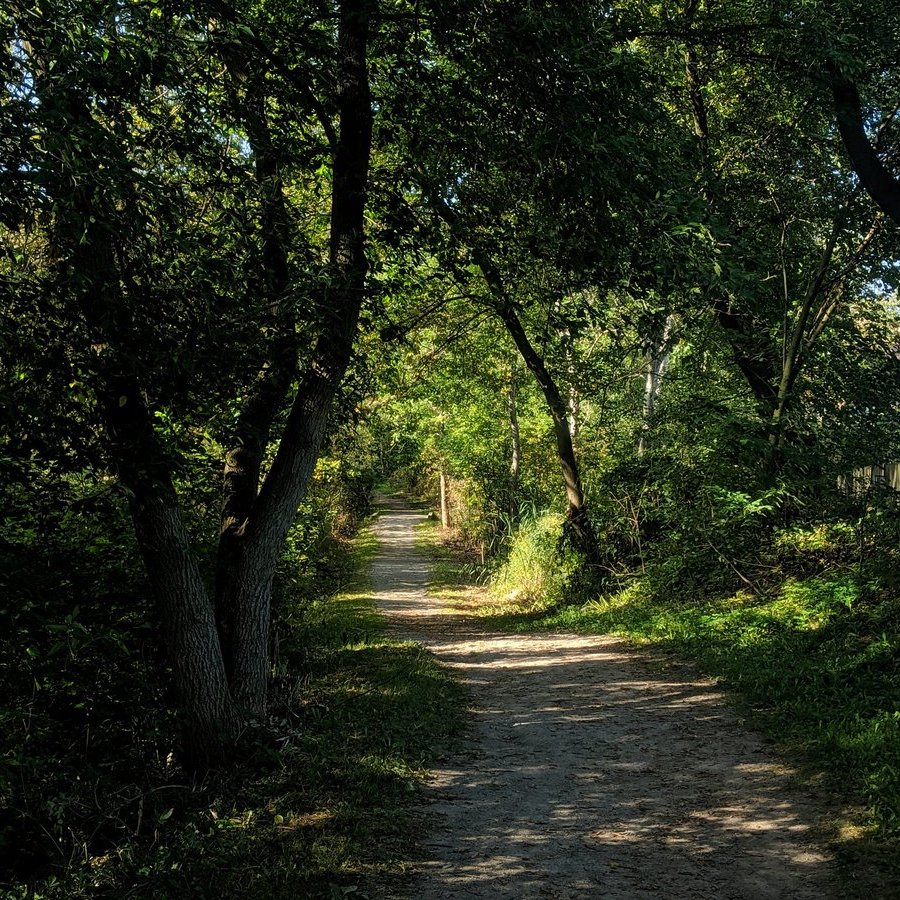

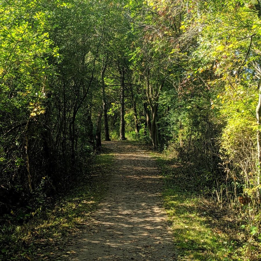

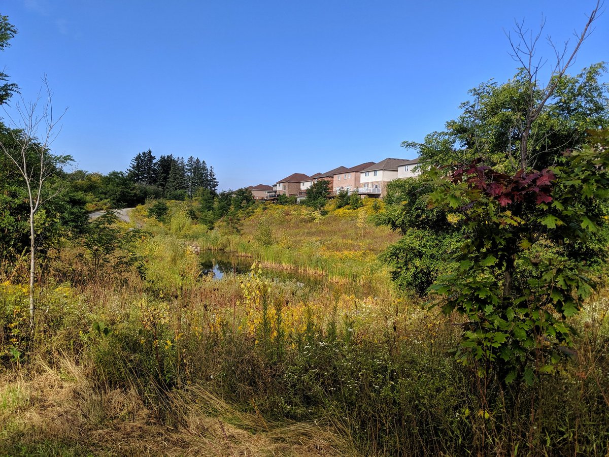
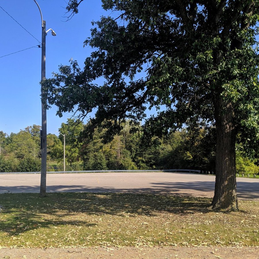
Past Champlain, the trail gets hardened, and the gaps between trees get a bit bigger. Nonetheless, the trail is still good.
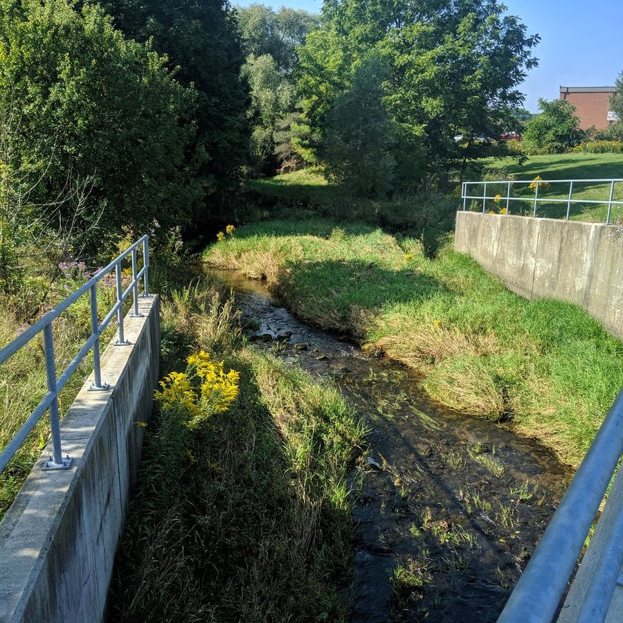


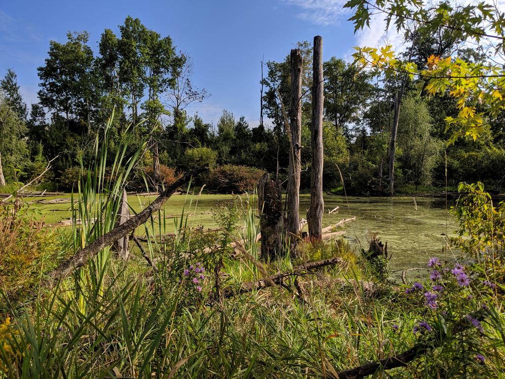
Churchill Park. A spaceship ready to lift off beside the creek. Some really nice offline ponds too, but they look more for viewing pleasure than stormwater management. They can be pretty, but sometimes I don’t get why people are so obsessed over them.


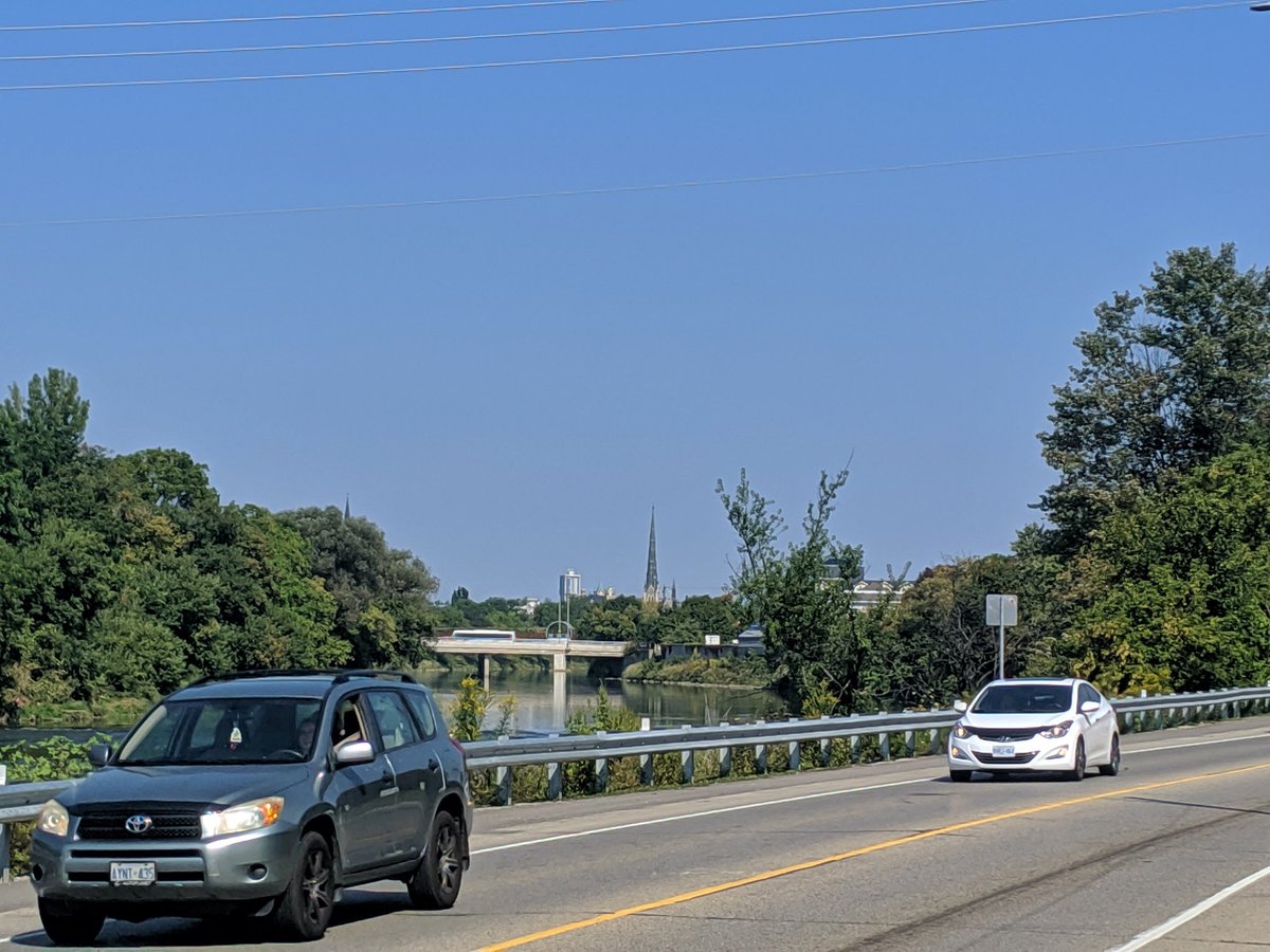
Broken mill. And one last glimpse downstream before it meets the Grand. No view of the confluence due to a tent camp. Heading back the Paris-Cambridge Rail Trail back to downtown Galt.


Tried to check out the south Galt portion of the Grand, but this trail is in poor shape. Back to Ainslie Terminal, and calling it a day.

Date: September 21, 2019
Length: 7.5 km
Type: Riverine