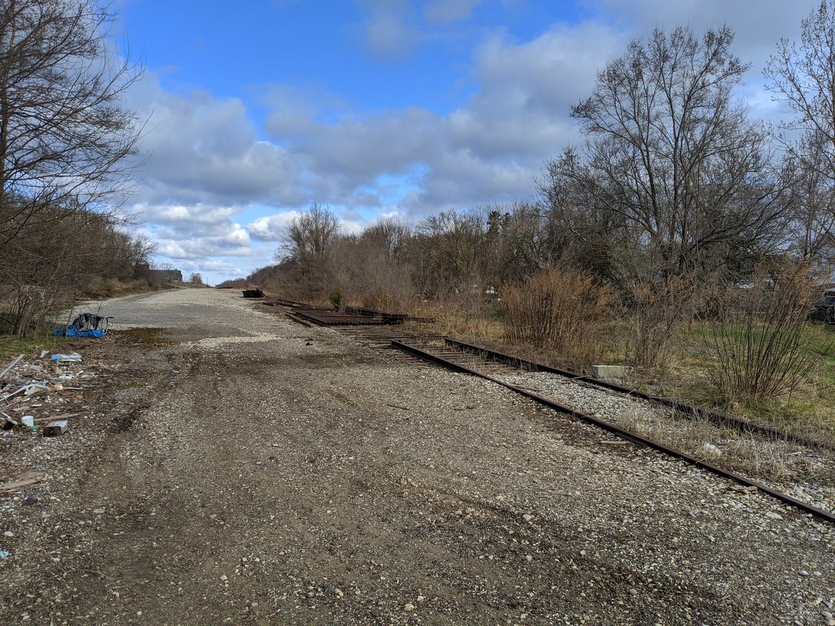
Good morning. Gotta shake off the cabin fever and take a good (physically distanced) walk. I’ll be following Canadian Pacific’s Waterloo Subdivision, which splits from its east-west mainline near the old Galt Railway Station. Let’s go.
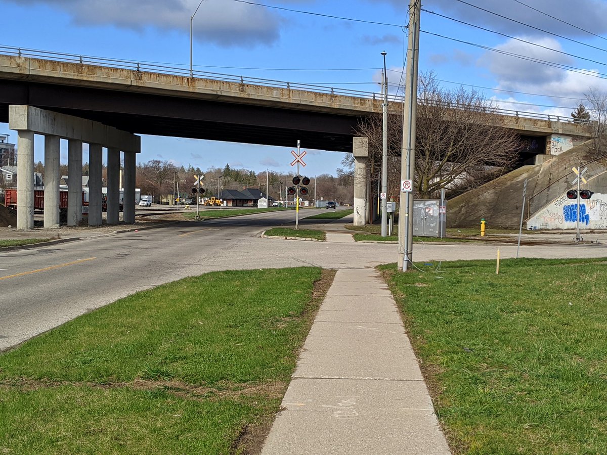

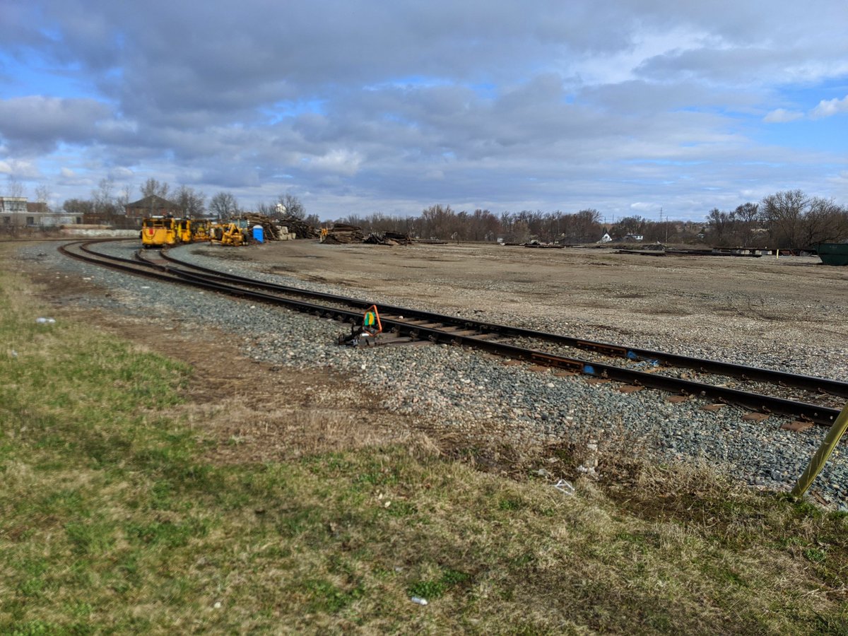
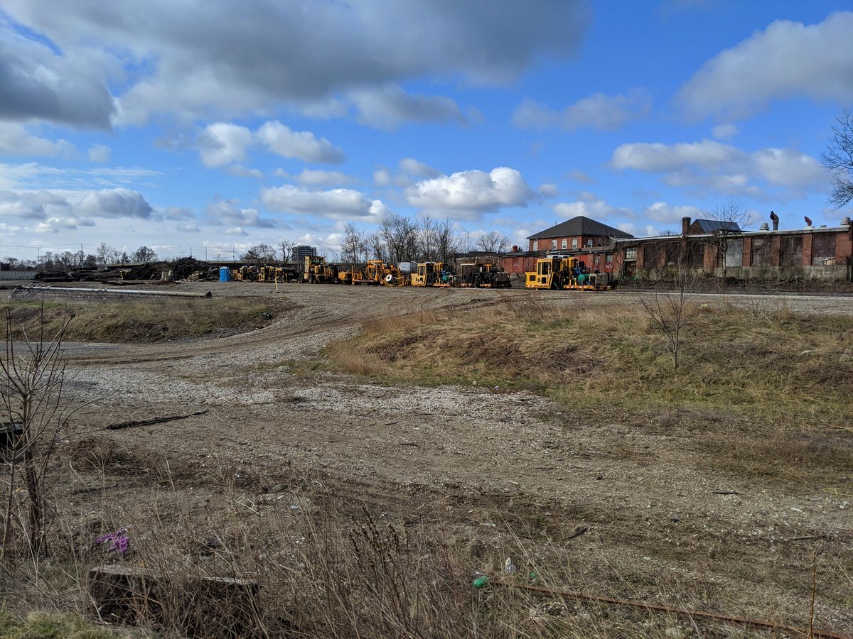
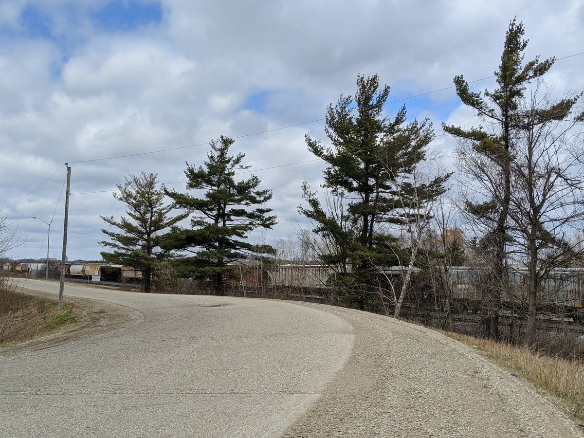
North of Samuelson, there used to be a large rail yard. Almost all of the tracks have been ripped up now, leaving this gaping chunk of vacant land. Right-of-way maintenance crews set up shop here.

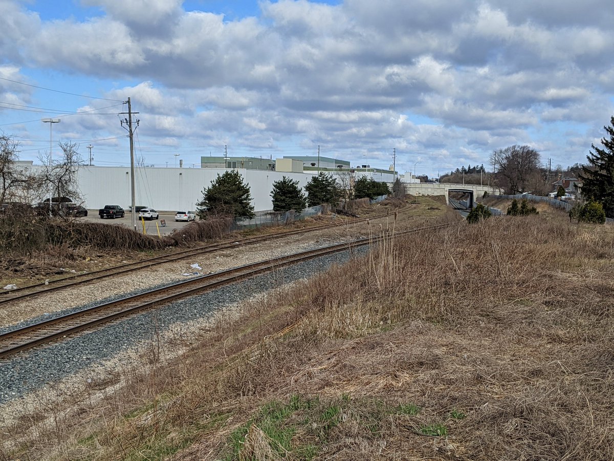
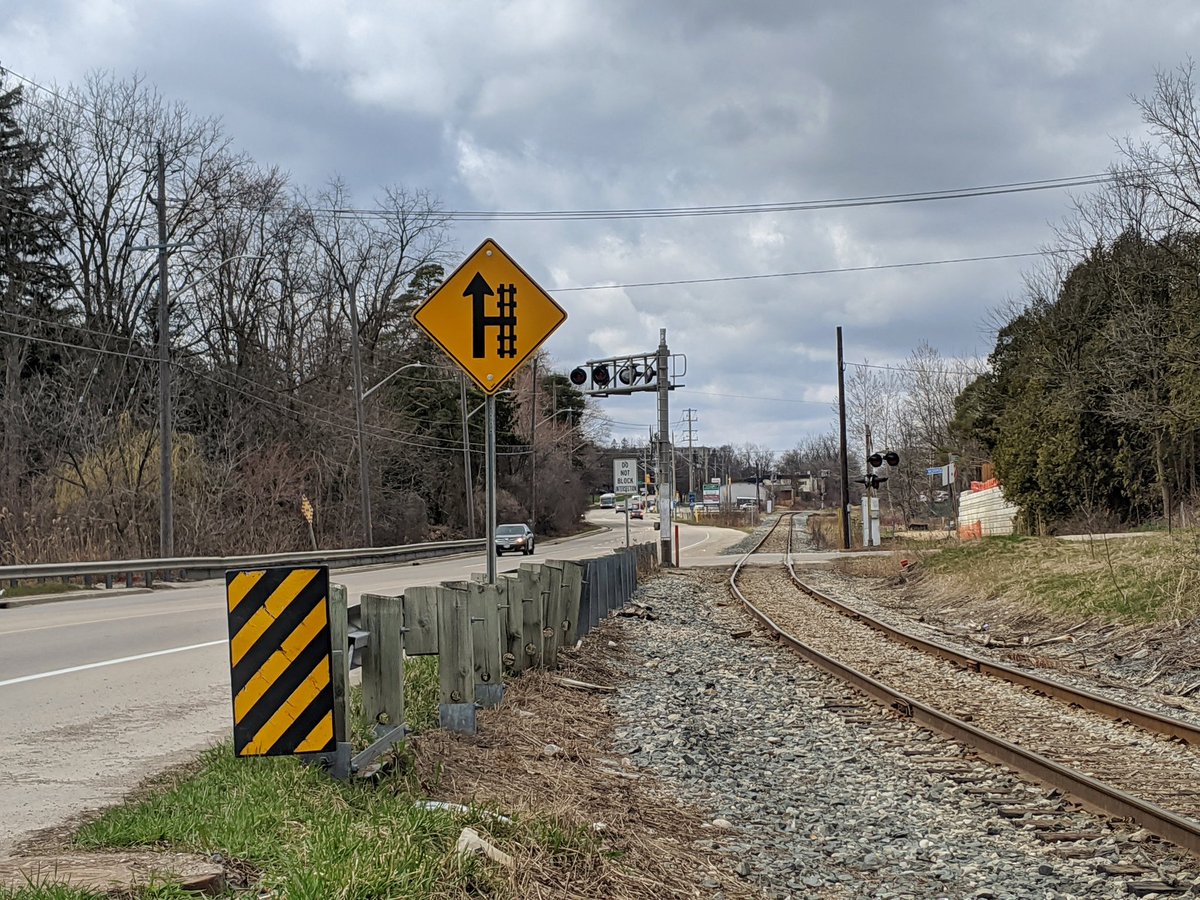
The first part of the corridor up to Dundas will be shared with the Waterloo ION when it gets extended to Cambridge. Then I gotta detour around the huge BWXT plant, still running as essential.


I would have gone up the backside of Dumphries Conservation Area to get more peeks at the tracks, but it’s closed with almost all other conservation areas across Ontario. It’s the same thing holding me back from checking out Groff Mill Creek.


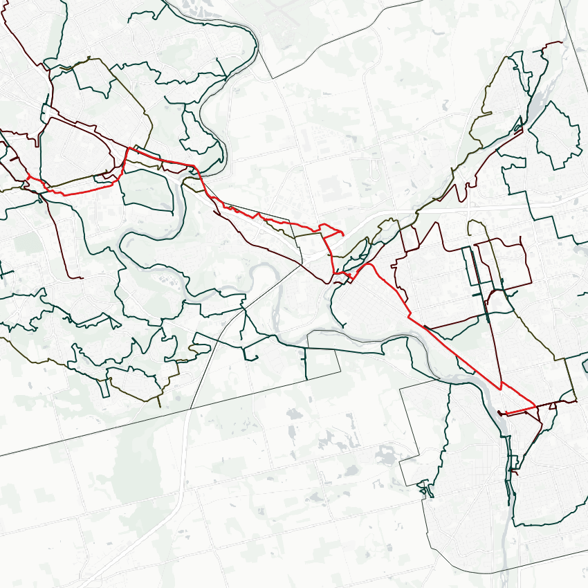
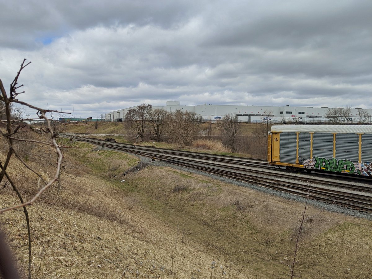
South of Bishop Street, there’s an interchange between CP’s tracks and a line owned by Canadian National. They spread far enough to fit some industrial businesses between them, but stay in parallel until Dolph Street. From here the CN line turns northeast, heading towards Guelph.


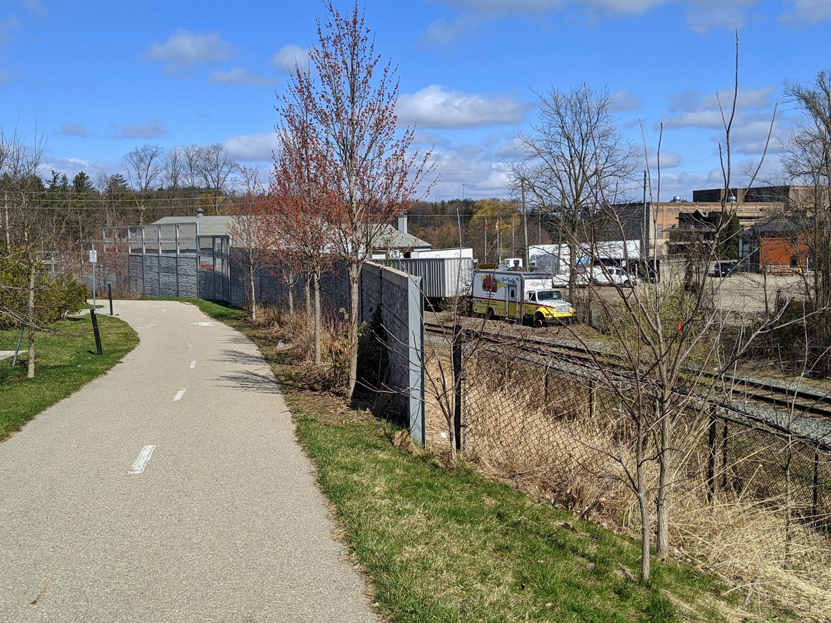
The Waterloo Sub continues towards Preston Centre. Eventually, there’s a railside trail. Seems to have been put in as part of an adjacent subdivision, which is typical of city government; make someone else pay for a small segment, and don’t bother completing the network.


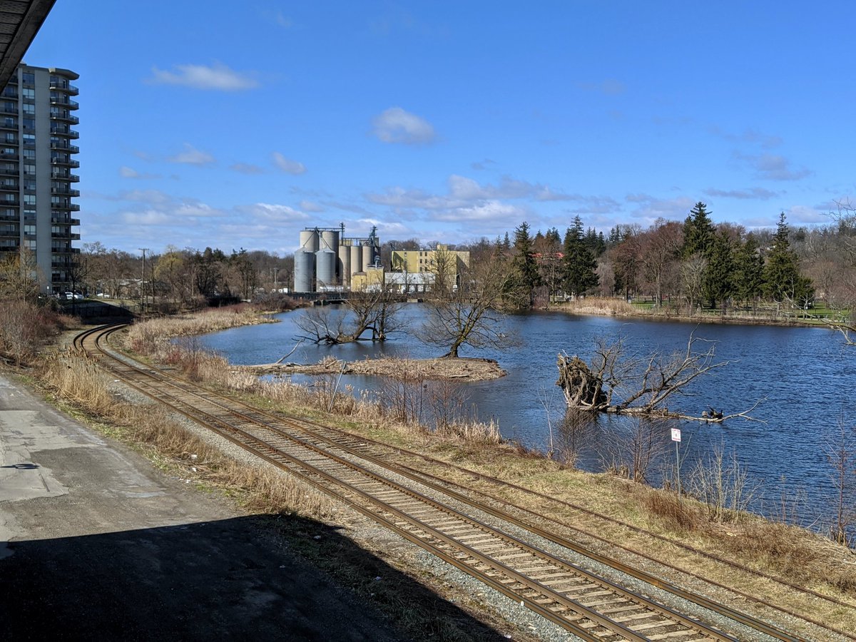
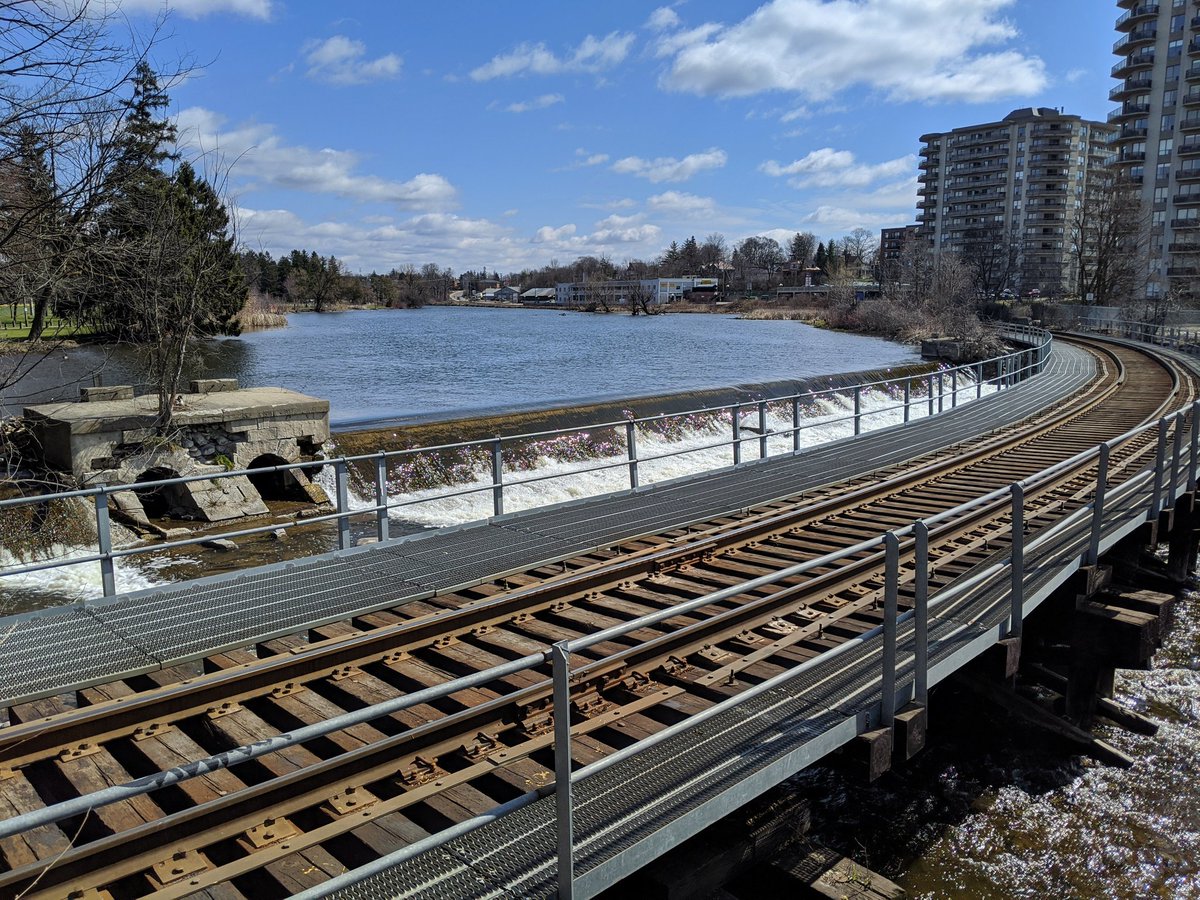
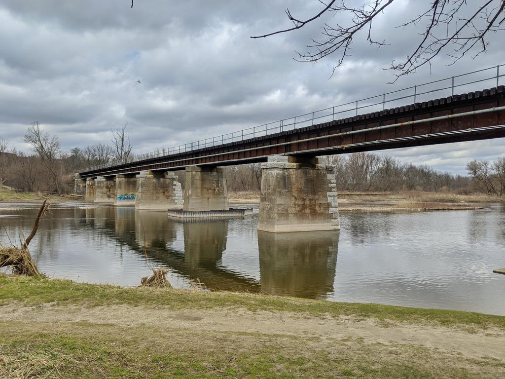
The tracks come to the Speed River, crossing it immediately beside Riverside Dam. Pretty ancient looking bridge.


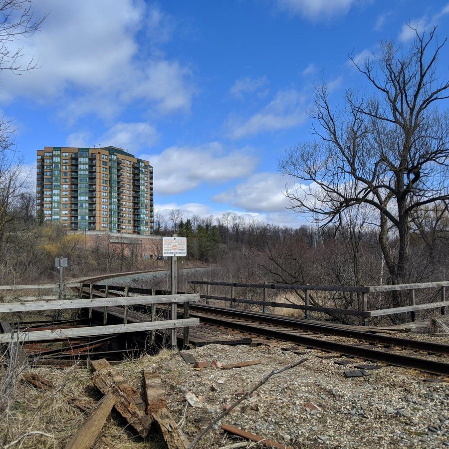
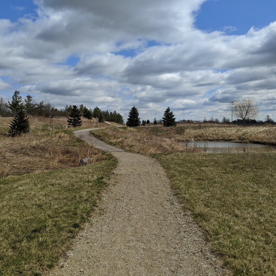
Past the Speed River, it’s a steady climb for northbound trains. The tracks wind up the hill and under the 401. I was able to get a peek at a park inbehind the Com Dev Soccer Centre. Very random spot.

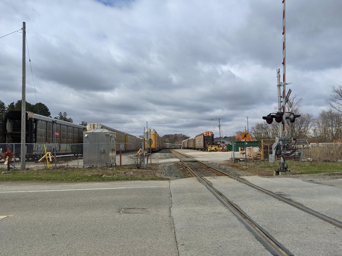
The Waterloo Sub curves into the Hagey area of Cambridge, and splits a train yard. It then hooks up with the spur serving the Toyota plant.


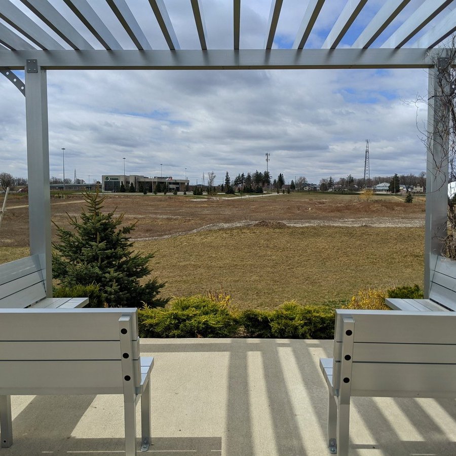
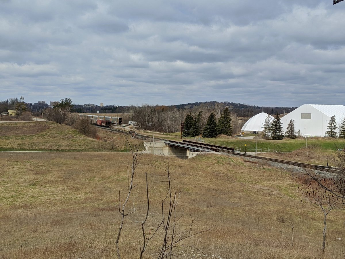
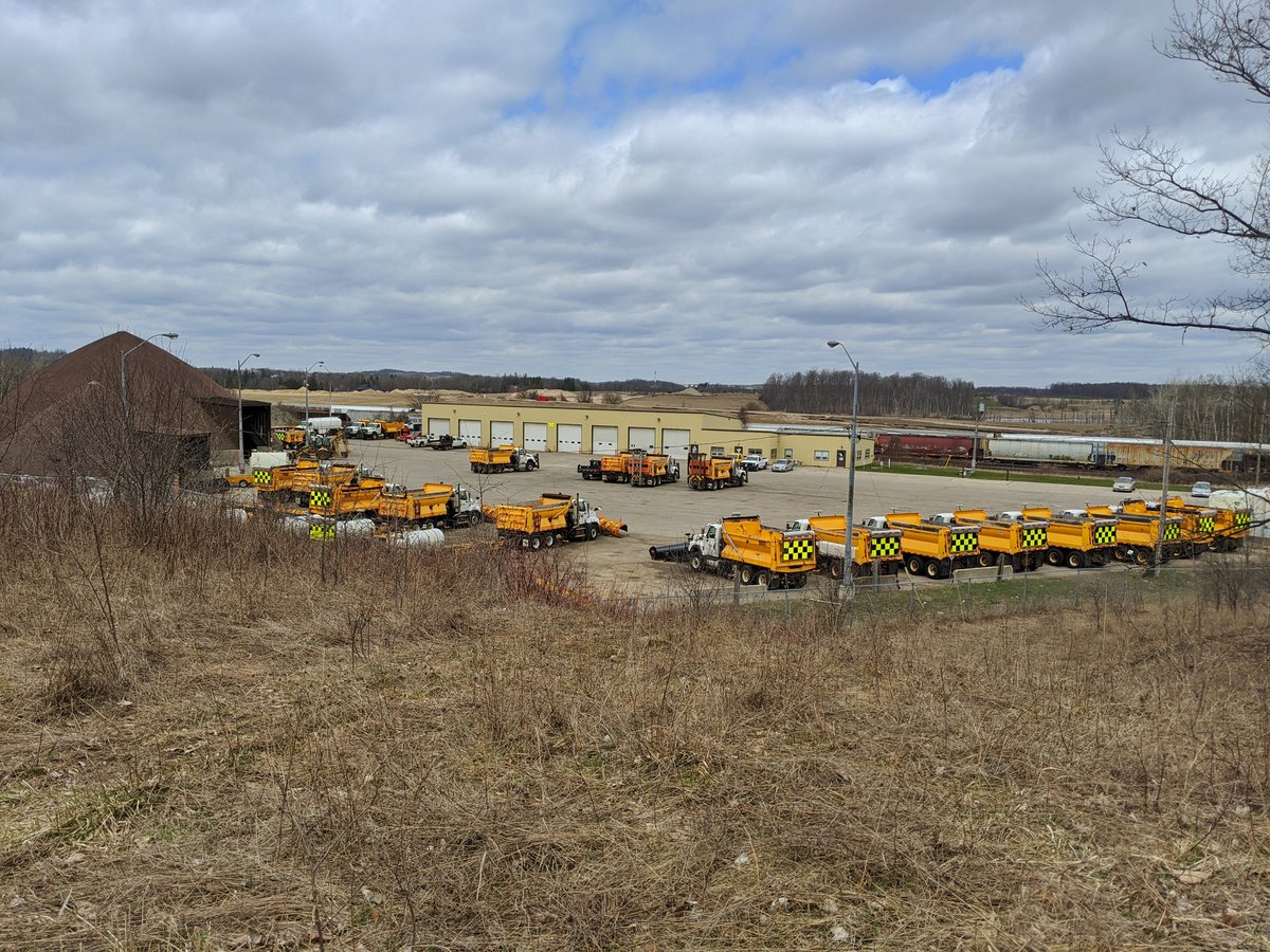
Three corridors come together: the tracks, hydro lines and the Conestoga Parkway. Past the water tower and the municipal works yard, lots of up and down through this strip of land.

Tracks come back to King, and across the Grand River.

The tracks get up against King. Like real close. Then they wander away a bit again, before crossing the road to parallel Fairway.


Under the Parkway, through a 3-way hydro corridor junction, and behind the empty commercial plazas. A sour line used to branch south to the industrial complex, but it’s been disconnected.


Eventually the Waterloo Sub swings north again, and comes to another interchange point with CN. This is the Huron Park Spur, which connects with the Guelph Subdivision in downtown Kitchener (the tracks that carry GO trains). But that marks the end of today’s walk.


Date: April 11, 2020
Length: 20.0 km
Type: Railway / Highway