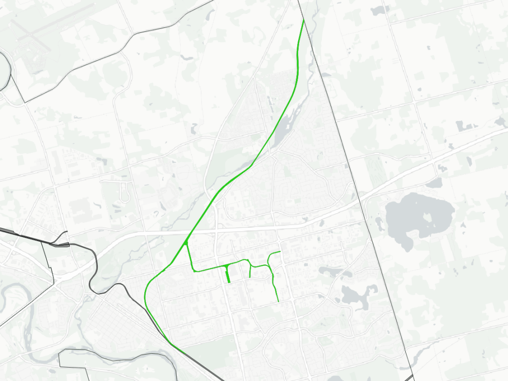
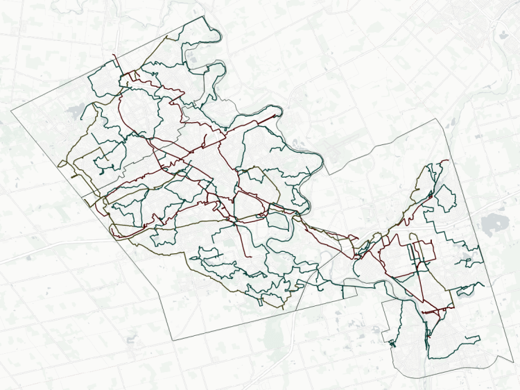
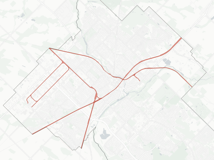
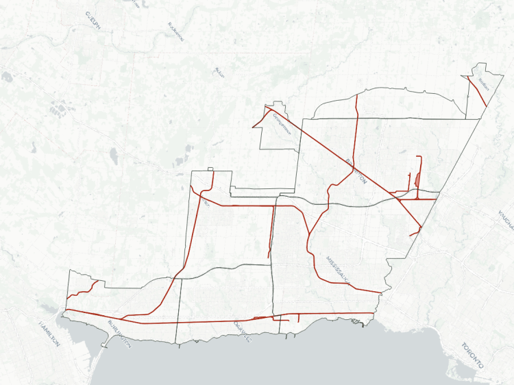
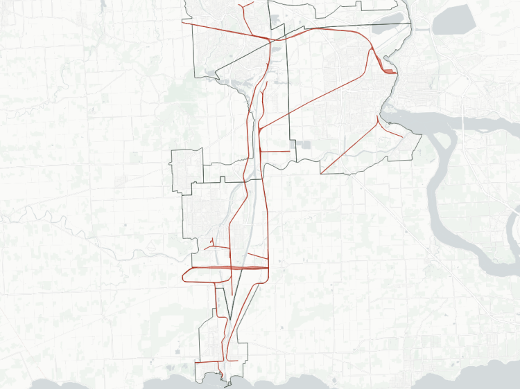
The Tri-Cities’ railway history was centred on two main east-west lines leading across southern Ontario. From these mainlines, there were intersecting interuban electric railways in the late 19th century.
While those were abandoned decades ago, the mainlines continue their existence today, as do a few of the branches that are still useful for interconnections and servicing industry. A recent addition includes dedicated off-road rights of way for a new electrified light rail transit system.
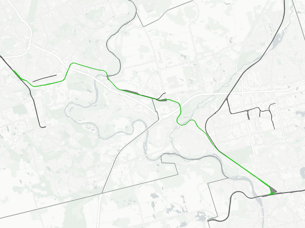
Here is an overview and some details about the railways within the borders of Kitchener, Waterloo and Cambridge.
- Guelph Subdivision
- Galt Subdivision
- Waterloo Subdivision
- Huron Park Spur
- Fergus / Galt Spurs
- Waterloo Spur
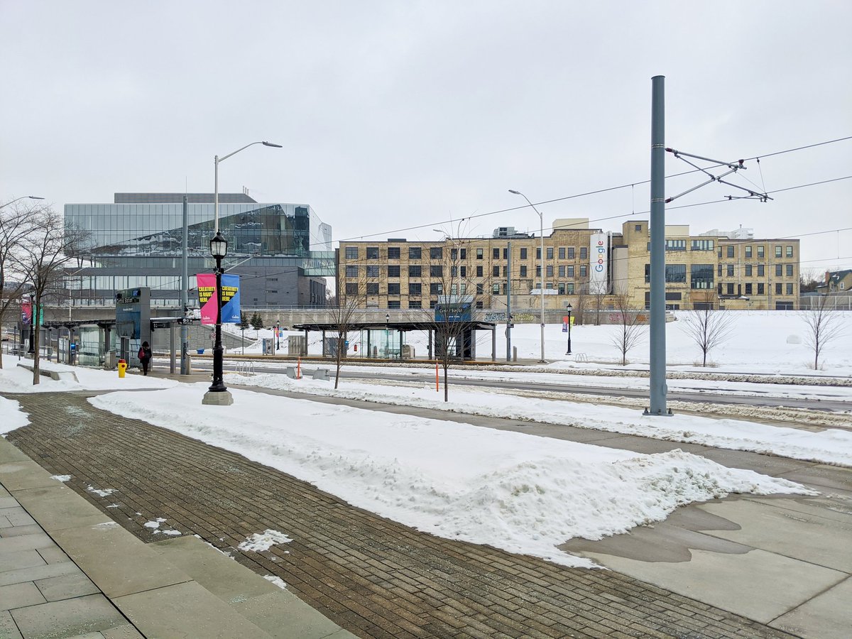
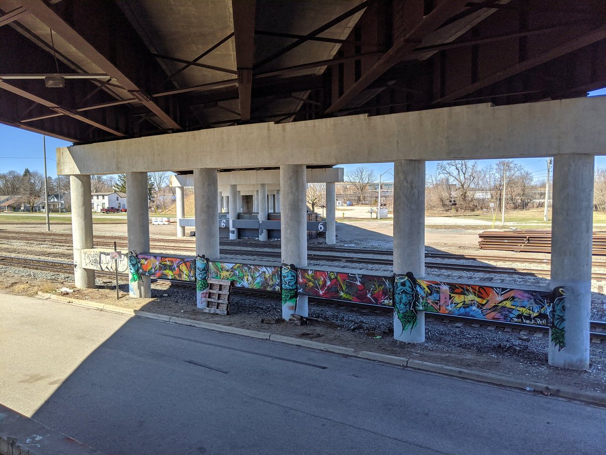
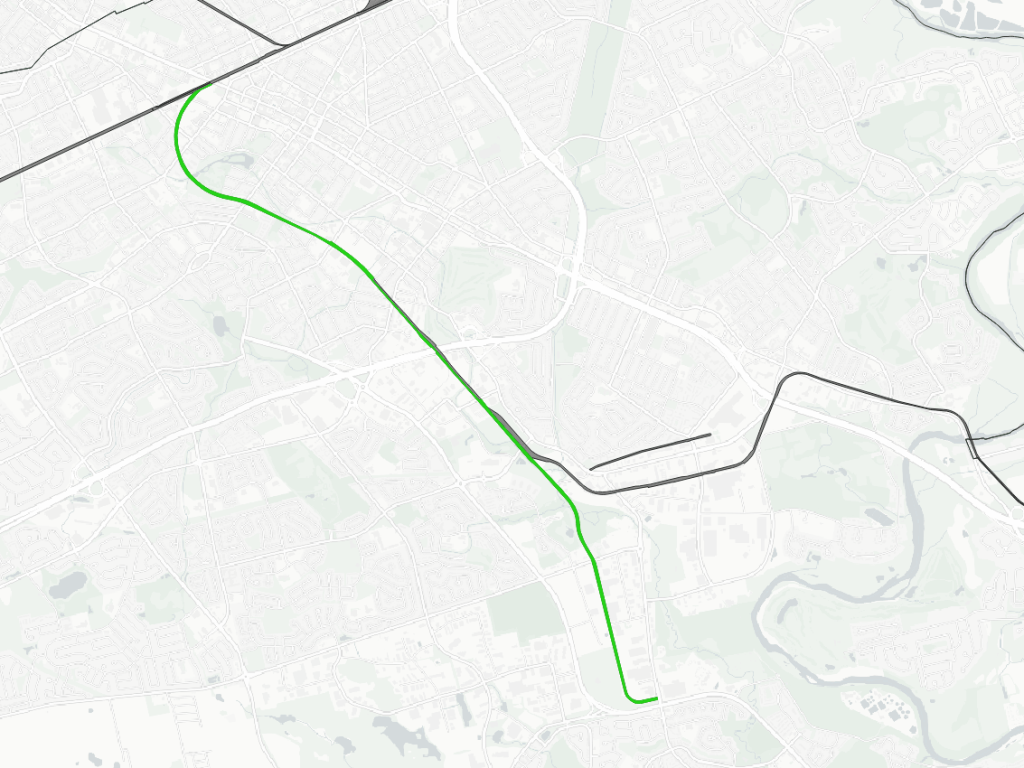
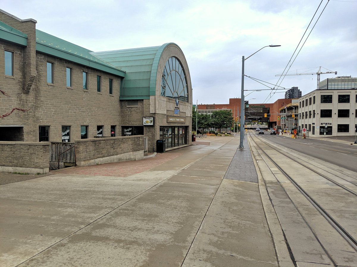
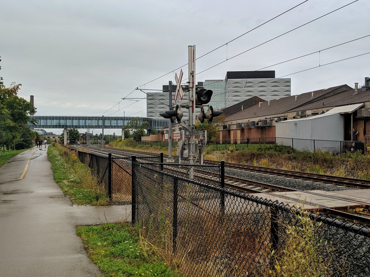
- Waterloo ION
- Notes / Disclaimers
- References and Further Research
- Explore Railways in Other Cities
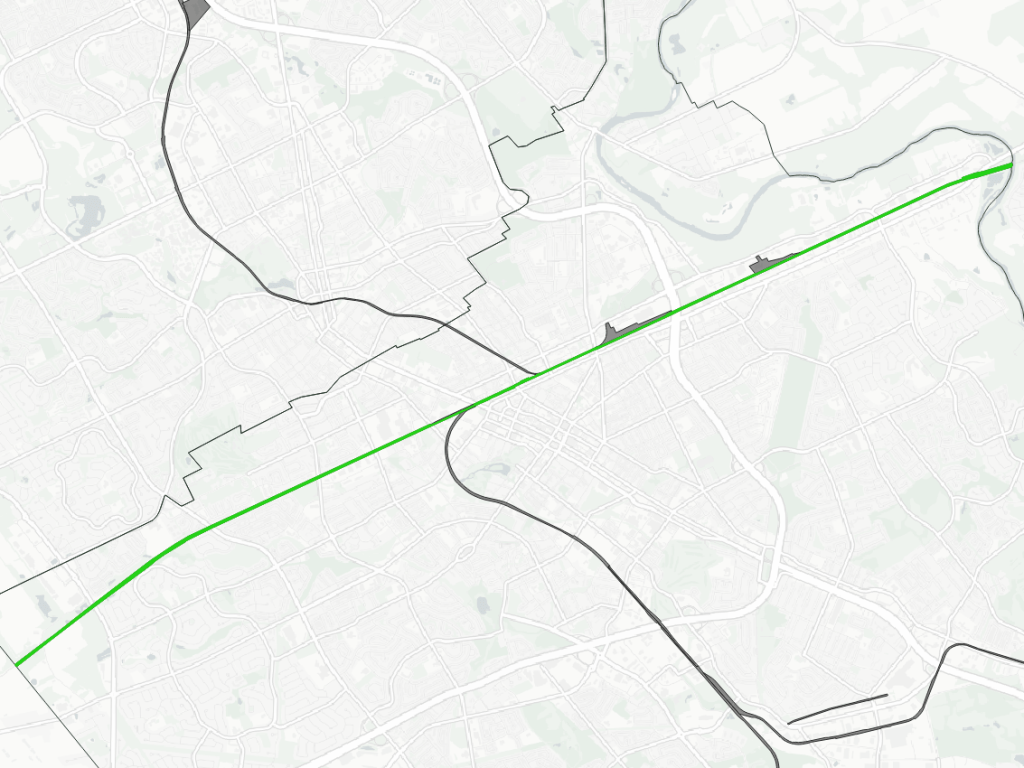
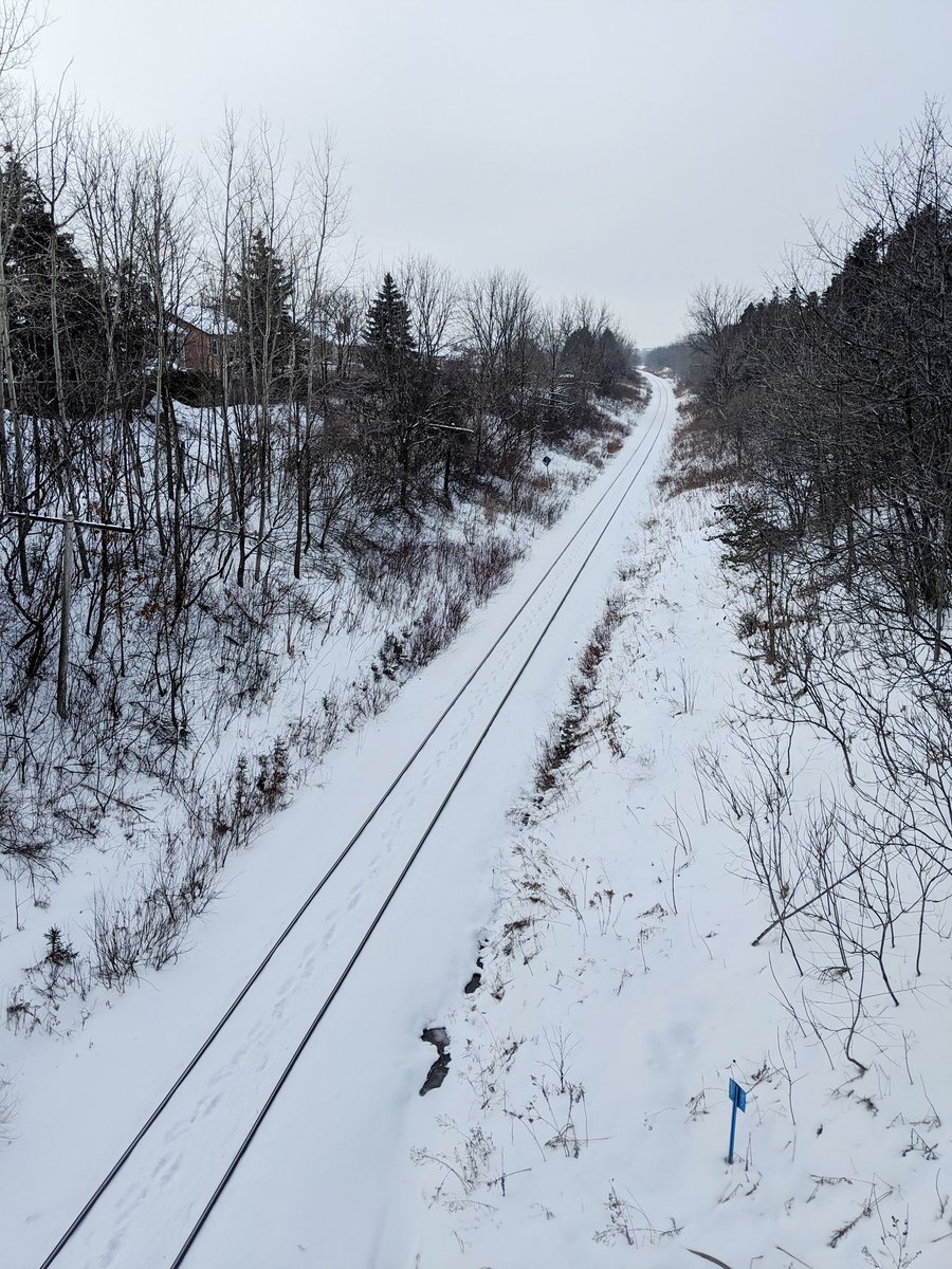
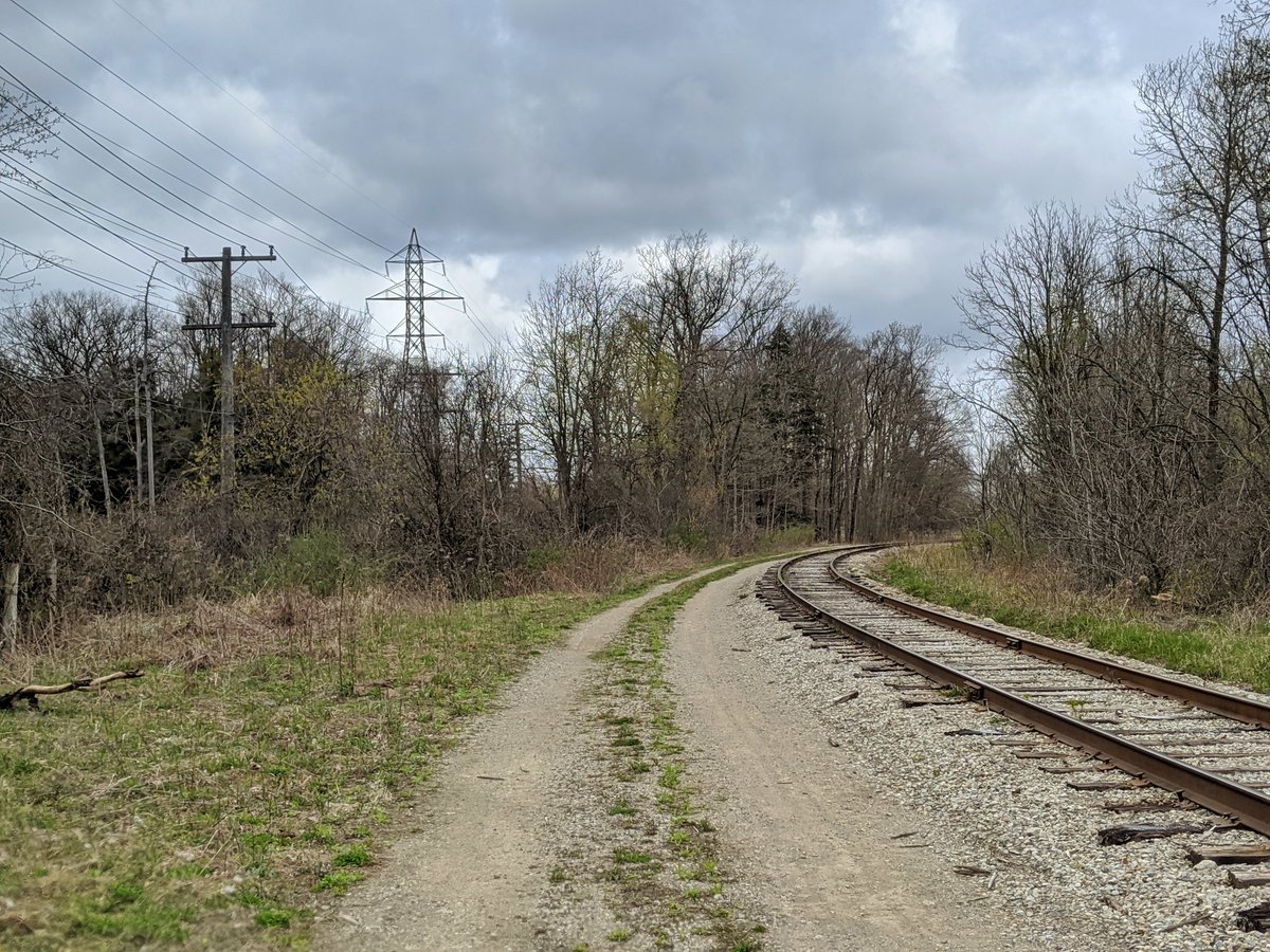
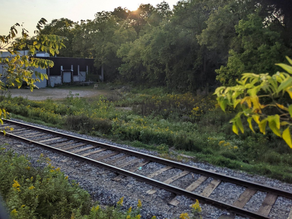
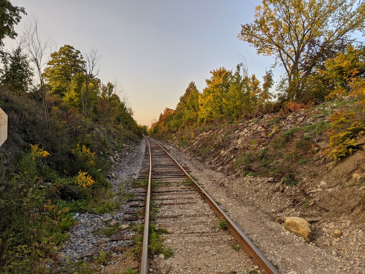
Guelph Subdivision
Length: 13.1 km
Area: 36.7 ha
Average Width: 28 m
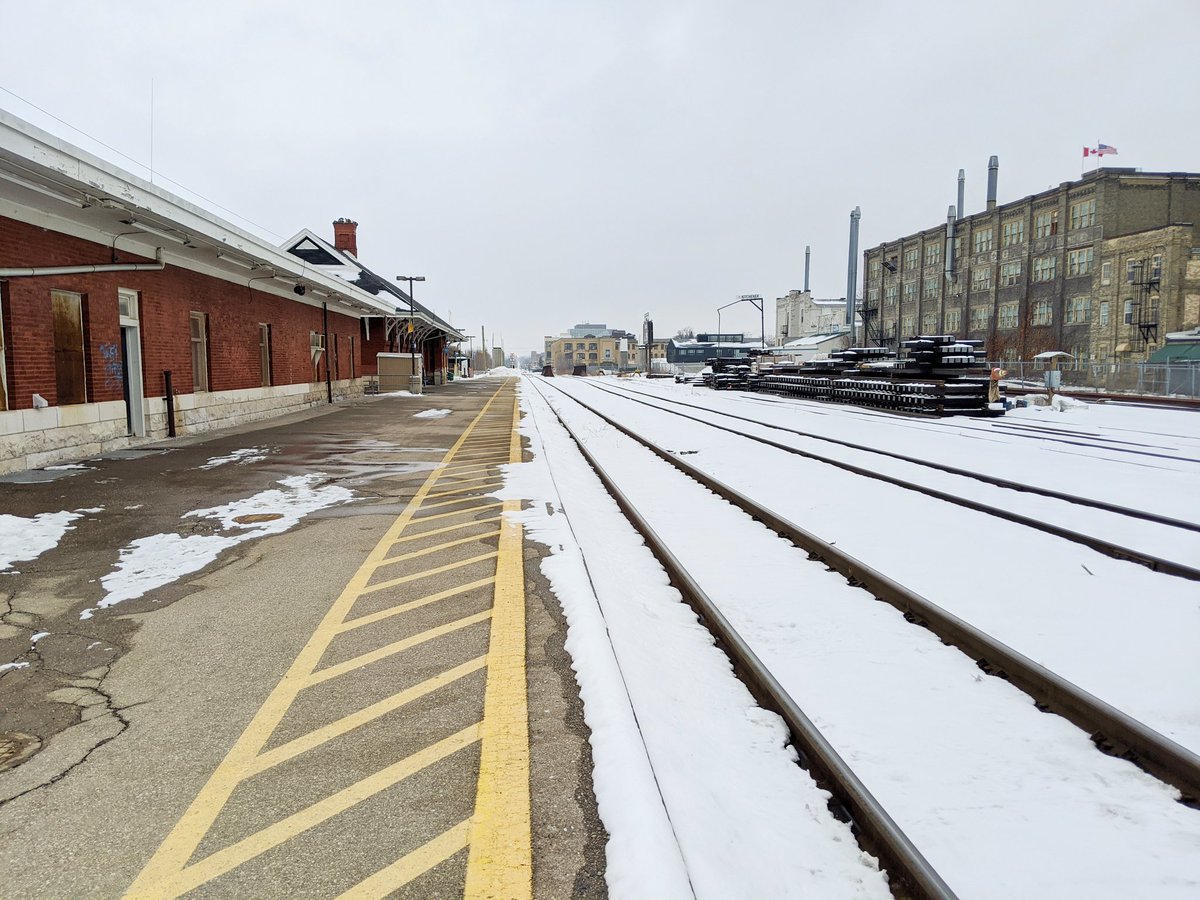
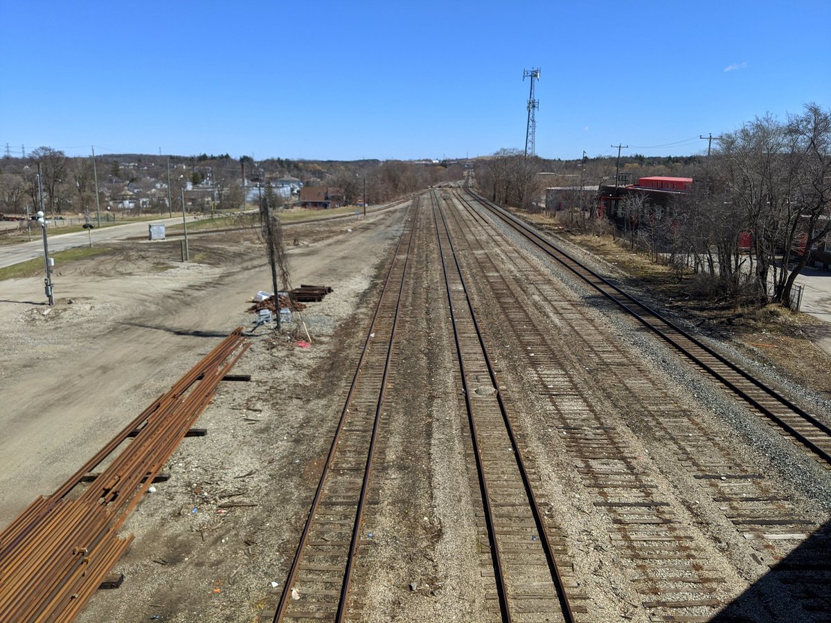
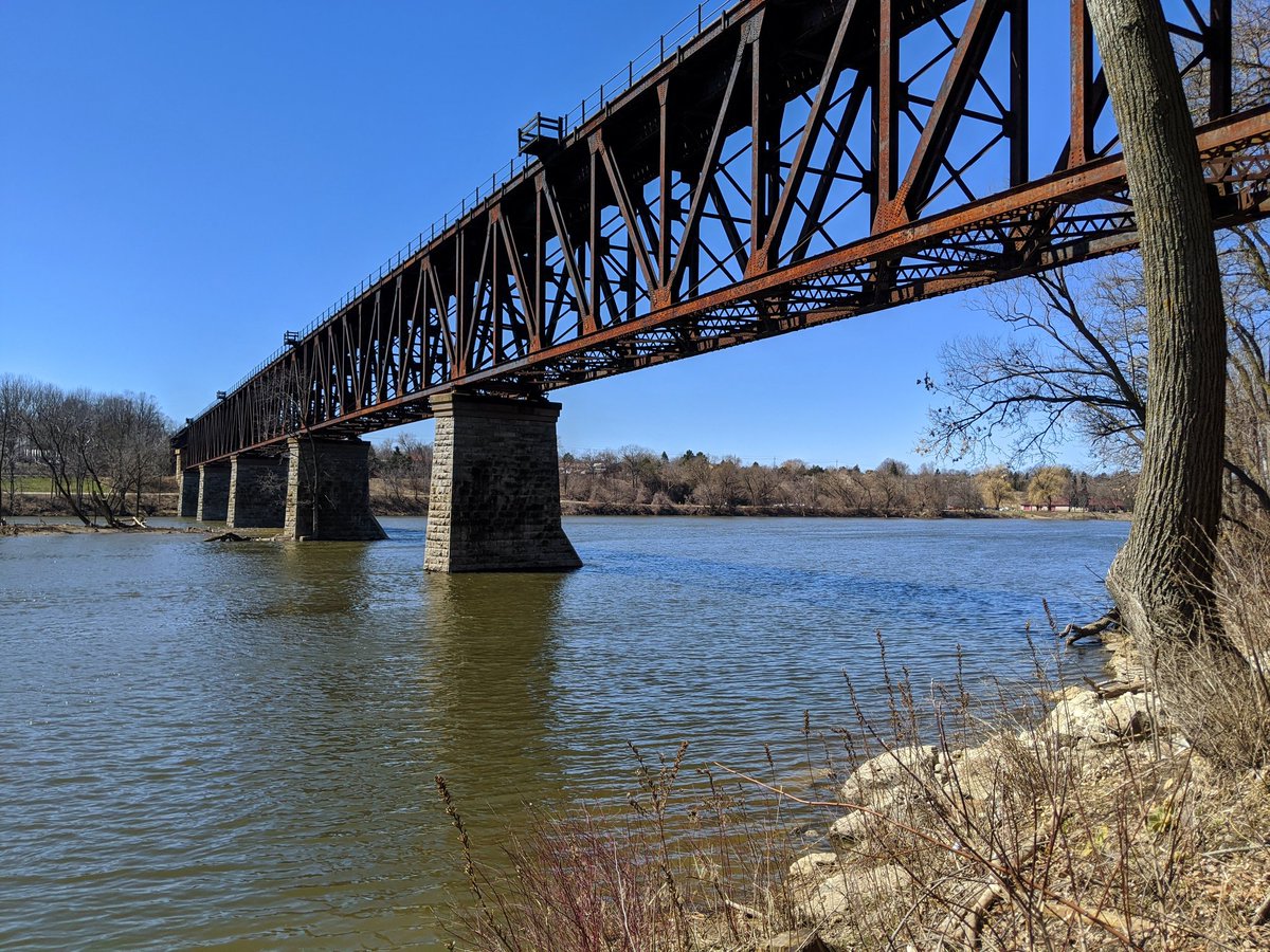
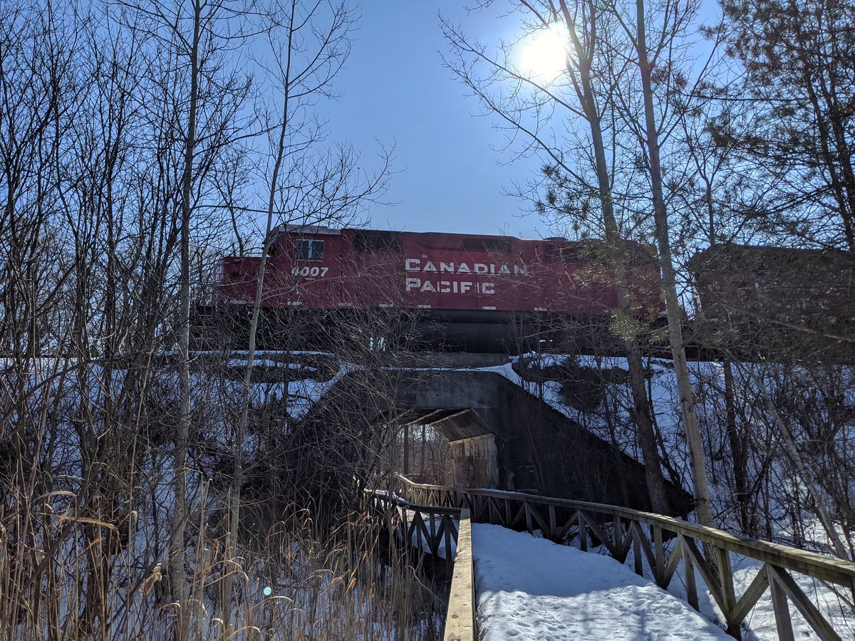
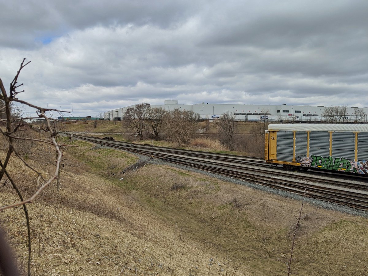
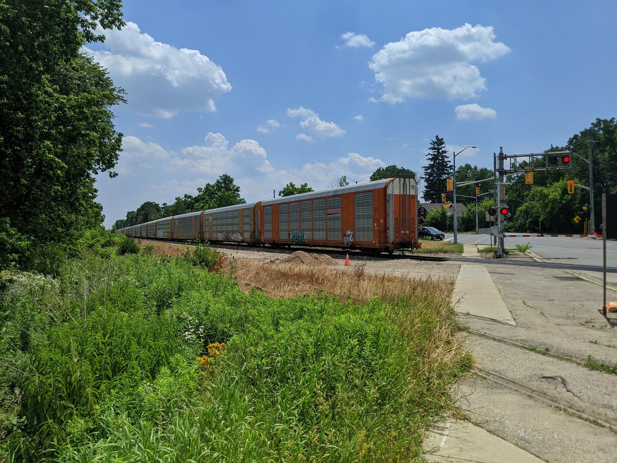
The Guelph Subdivision, as the name suggests, is an east-west mainline that was built through Guelph, in addition to Kitchener. Built by the Grand Trunk Railway (GTR) in 1856, it established GTR’s mainline from Toronto through the city towards London. GTR was eventually absorbed by Canadian National Railway (CN). Through this, both freight and passenger train service was offered to the City, connecting people and goods to Toronto and southwestern Ontario.
The current train station along the line was built in 1897. As with the rest of the country, passenger service offered by CN and Canadian Pacific Railway (CP) was folded into VIA Rail Canada in 1977, and that included passenger services at Kitchener Station. GO Transit began offering train service to Kitchener in 2011, and Metrolinx bought part of the line between Georgetown and Kitchener in 2014 for long-term upgrades and operation.
CN continued to operate freight services the line until 1992, when it leased the line (between Georgetown and London) to the Goodrich & Exeter Railway (GEXR). This arrangement remained in place until 2018, when the lease was not renewed, and CN took back operations.
The line is double tracked between King Street and a point near the Victoria at Natchez, mostly to allow movements to freight yards and a couple spurs without impeding through traffic. Outside of that, it is a single track.
Check out Guelph Sub (Kitchener) for more images and descriptions


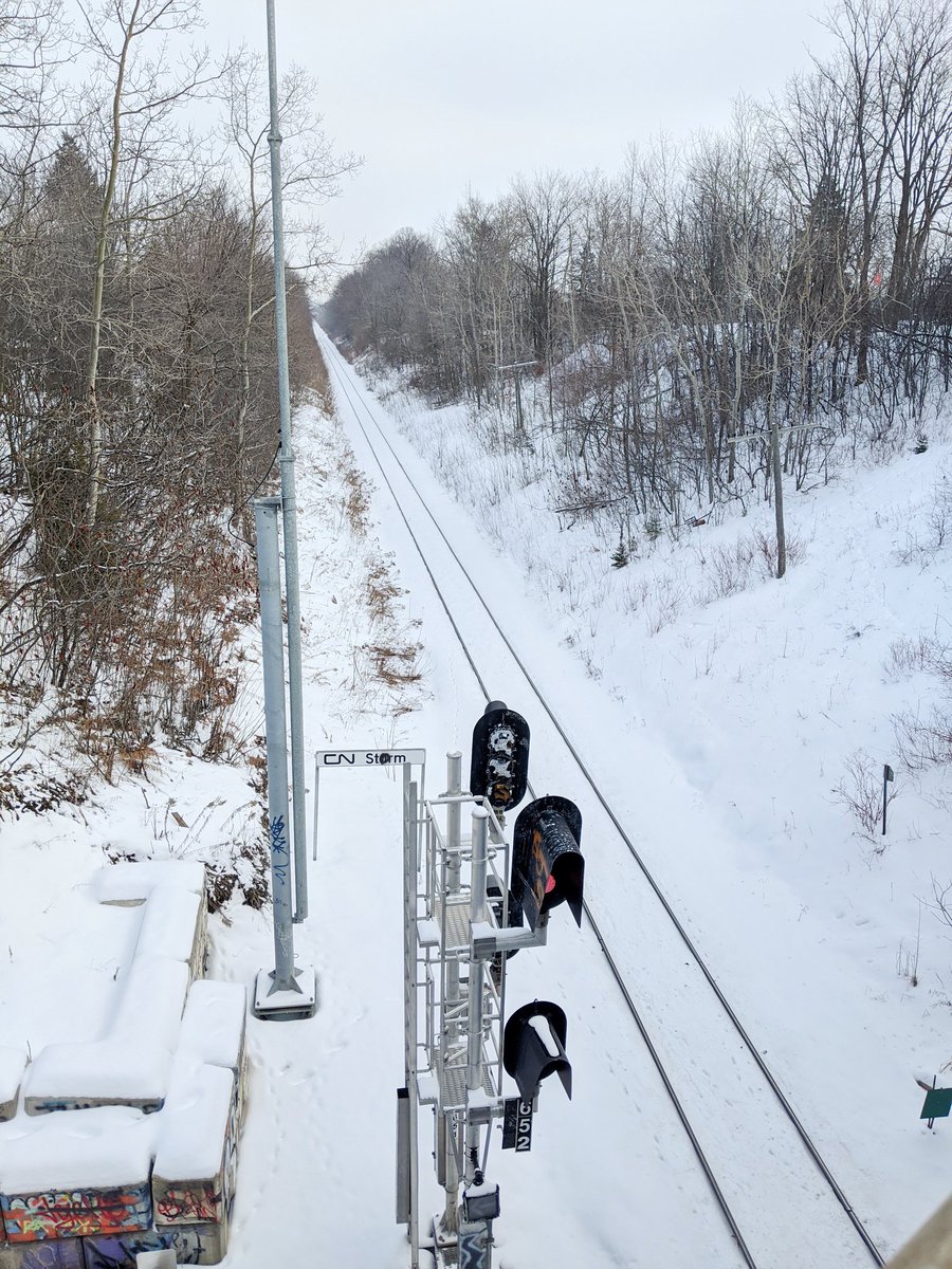


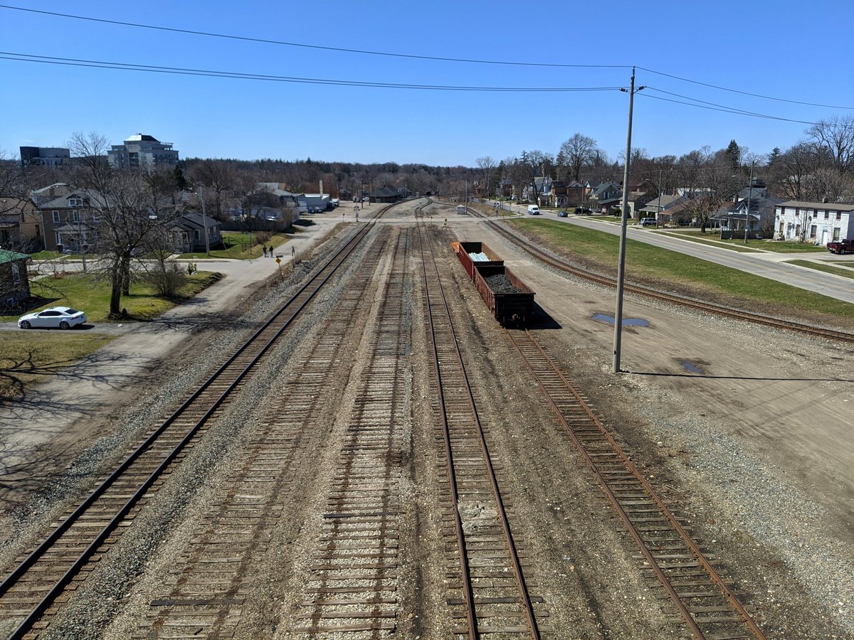
Galt Subdivision
- Length: 8.2 km
- Area: 25.4 ha
- Average Width: 31 m
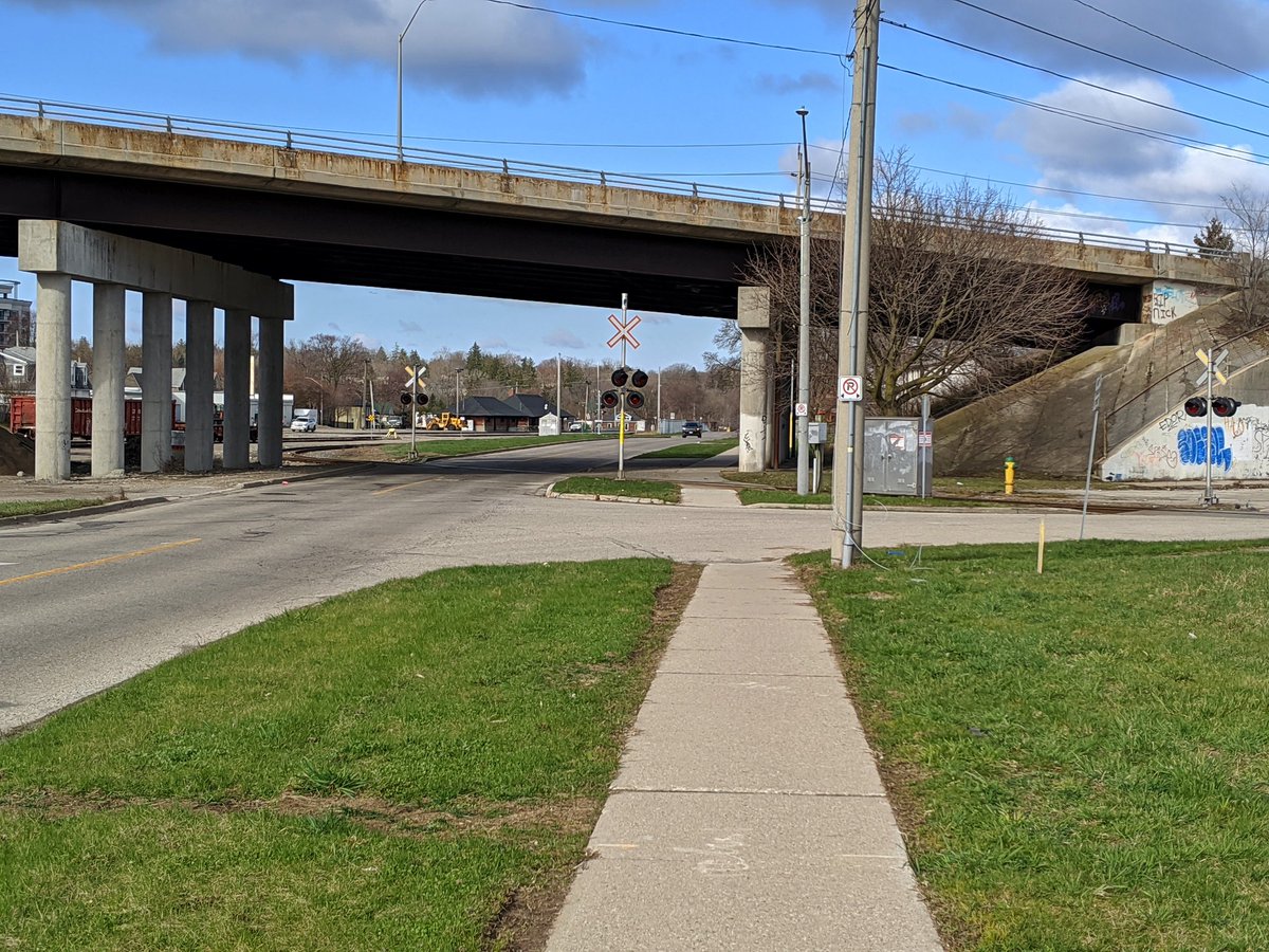
The Galt subdivision is the main east-west corridor for Canadian Pacific Kansas City (CPKC) through, as the name says, Galt (now part of Cambridge). The line was originally built by the Credit Valley Railway in 1879 and opened in 1880, creating a route between Toronto and St Thomas with many branch lines. During the following four years, financial troubles led to a series of ownership changes that culminated in the line becoming part of CPKC’s predecessor, the Canadian Pacific (CP) Railway.
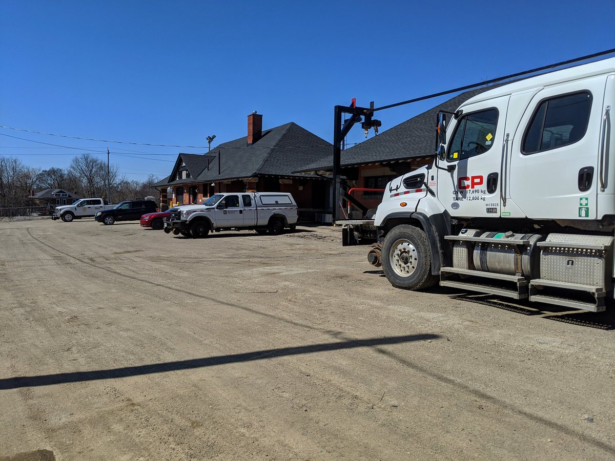
The current train station along the line was built in 1900. CP discontinued its passenger railway service to Galt in 1971. However, unlike some other parts of the country, this service was not restored by VIA Rail Canada. GO Transit began offering train service to Milton in 1981, and while an extension to Cambridge has been contemplated for decades, it has not materialized. CPKC continues to use the heritage train station as an operations centre.
The line is mostly a single track, with a second track between Elgin Street and Clyde Road. It is also paralleled by a number of sidings near the train station, where it interchanges with the Waterloo Subdivision.
Check out Galt Subdivision for more images and descriptions


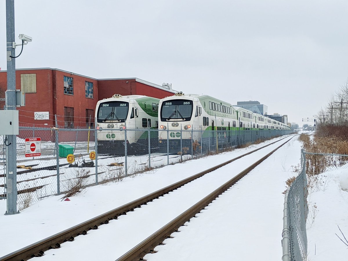
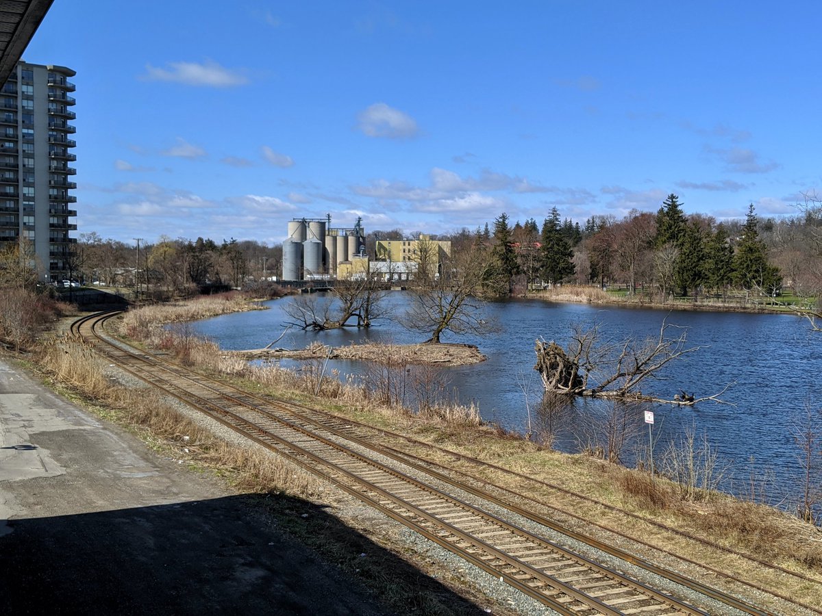
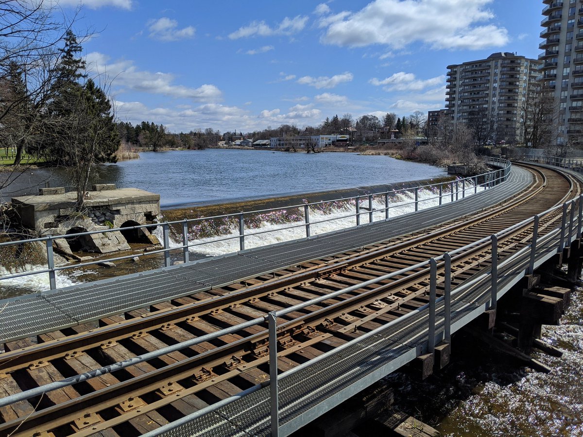
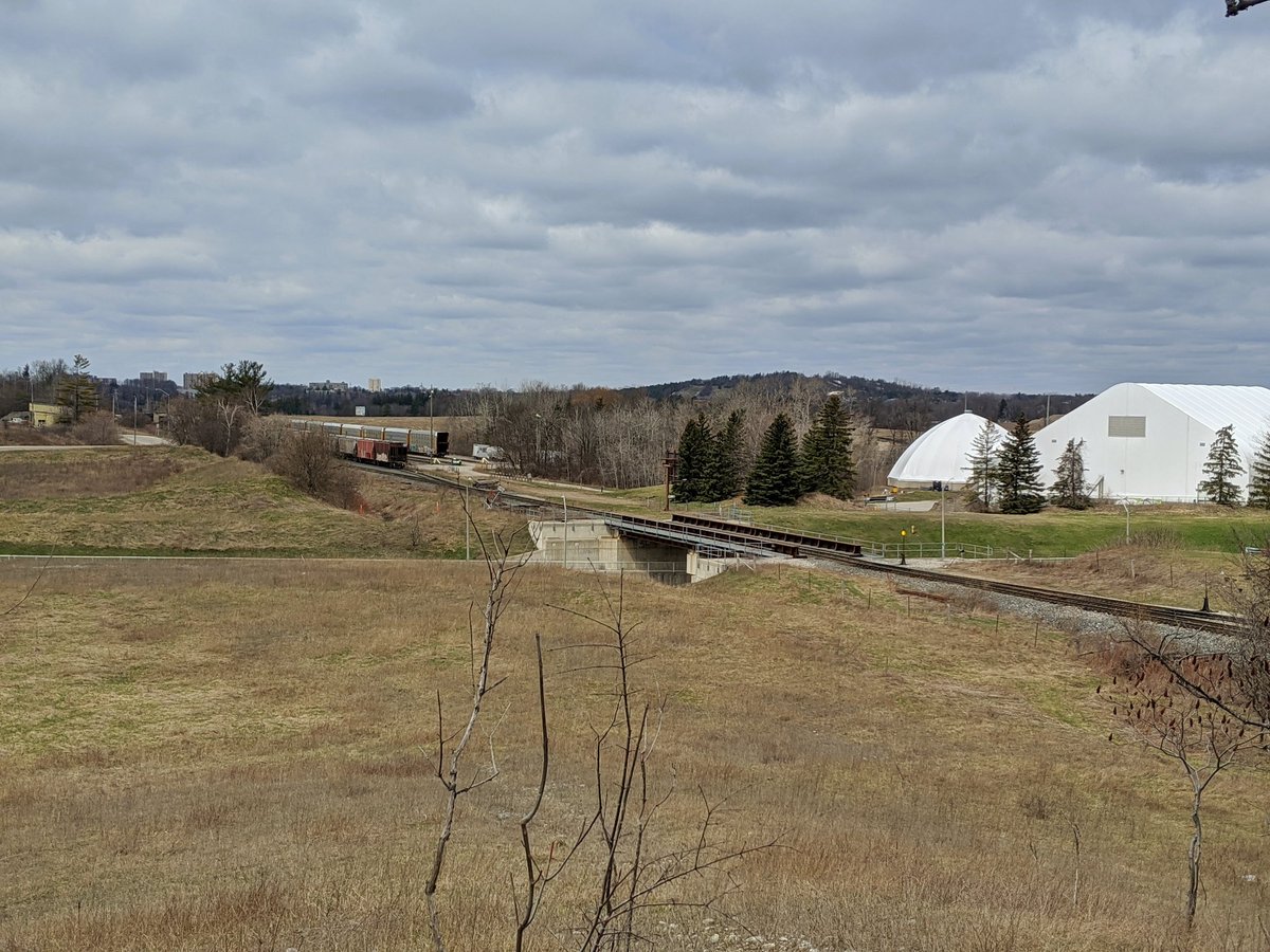
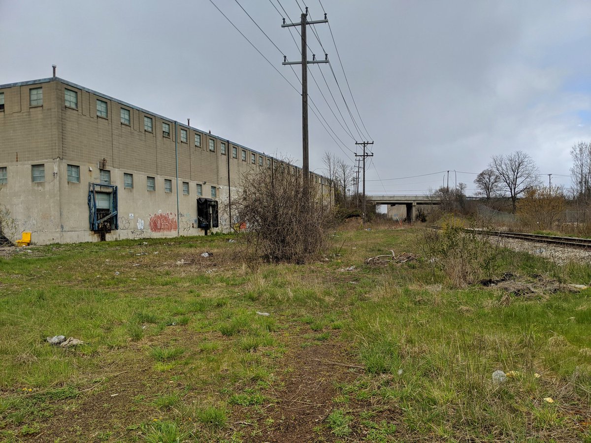
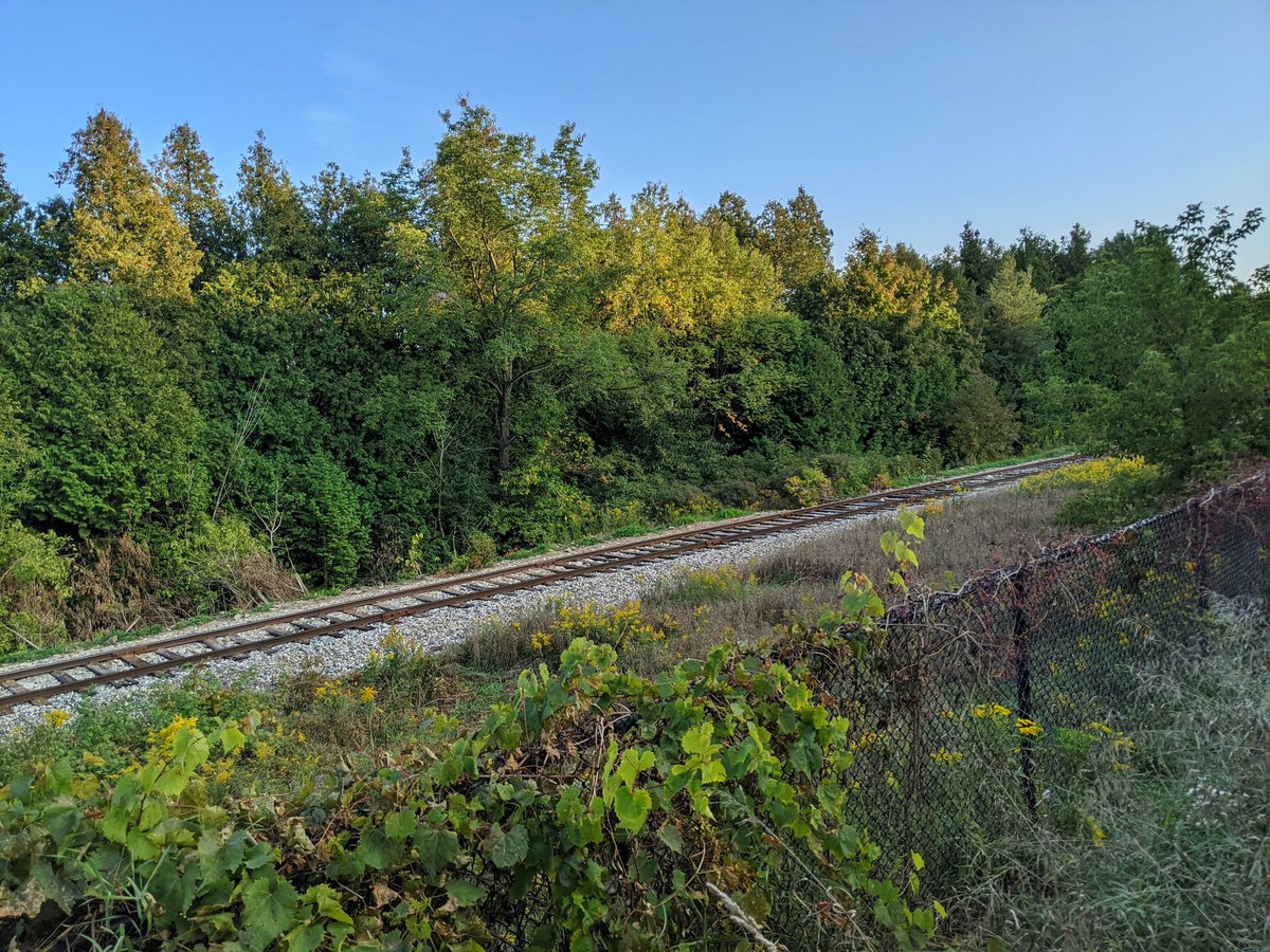
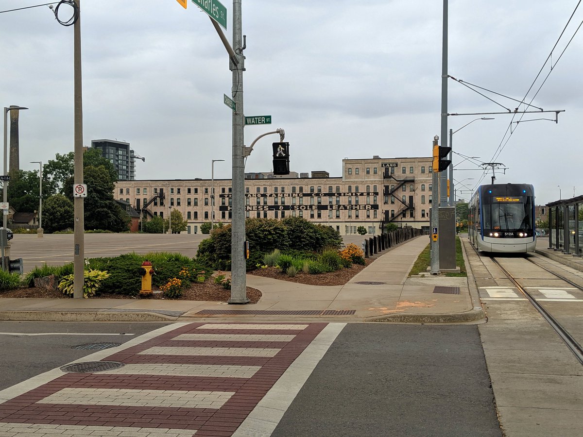
Waterloo Subdivision
- Length: 17.1 km
- Area: 37.1 ha
- Average Width: 22 m
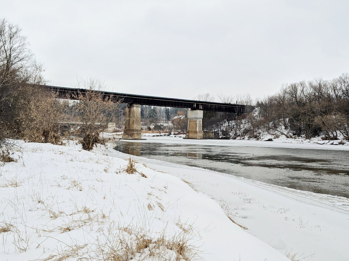
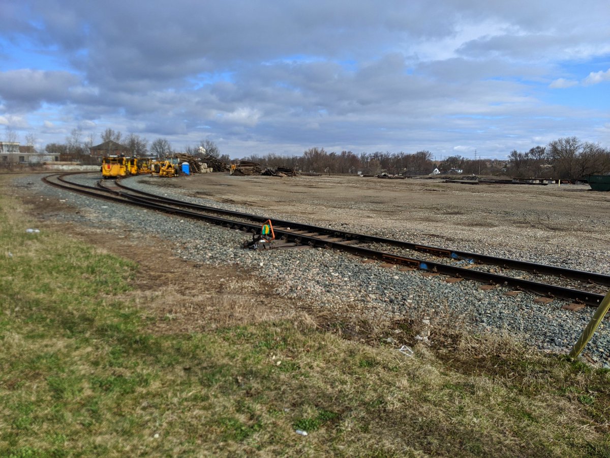
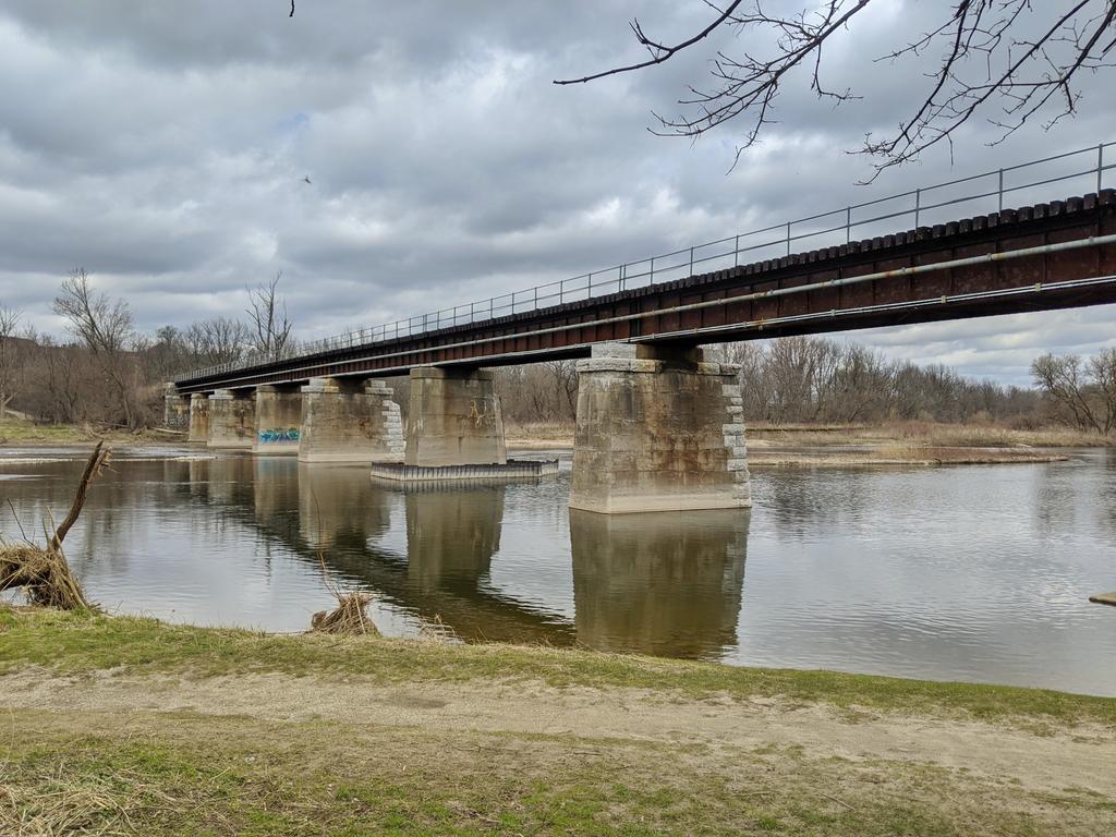
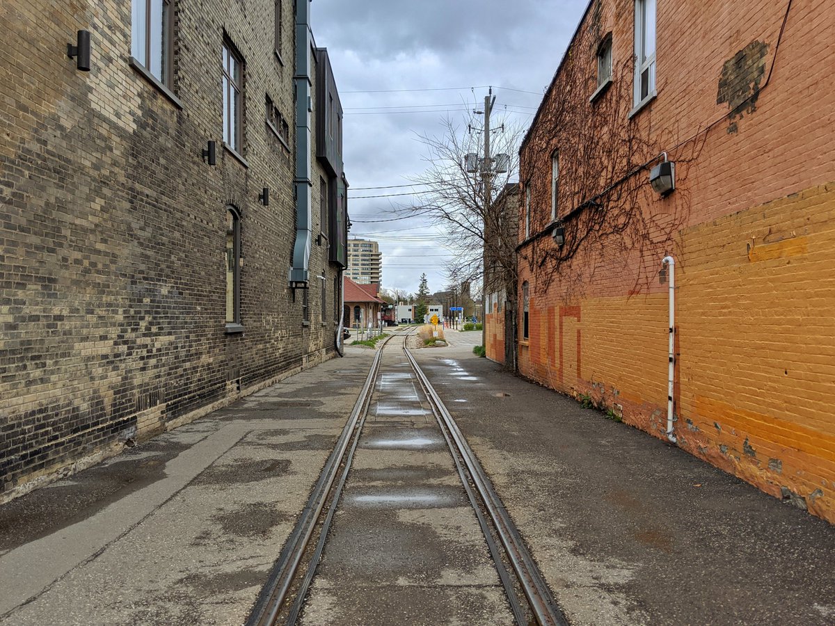
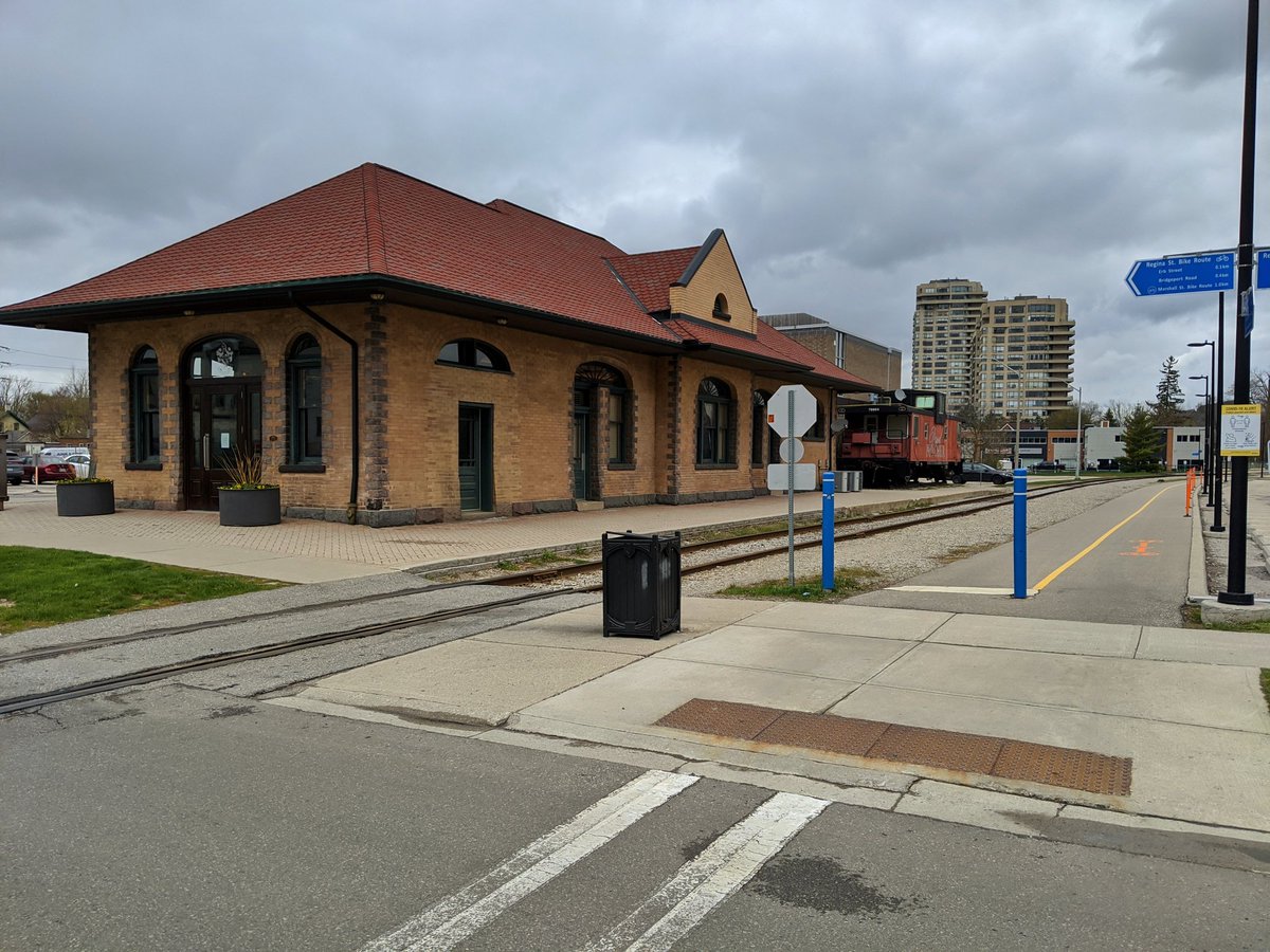
This CPKC corridor traces its roots to the Galt and Preston Street Railway, an interurban electric railway completed between its namesake towns in 1894. The Preston and Berlin Railway continued the march north over the Grand River to King Street in Kitchener, starting operations in 1904. Both of these were amalgamated in 1908, and renamed the Grand River Railway in 1914. Due to changes in equipment and voltage, the remainder of today’s line from King Street south of Courtland to today’s Huron Park Spur was built in 1921.
Electric interurban passenger service along the line, stopping at about 8 stations on the way, continued until 1955. Freight service hauled by electric power carried on for six more years until CP transitioned to diesel locomotives.
The line is a single track, only paralleled by yards and sidings concentrated around the Toyota plant.
Check out Waterloo Sub for more images and descriptions


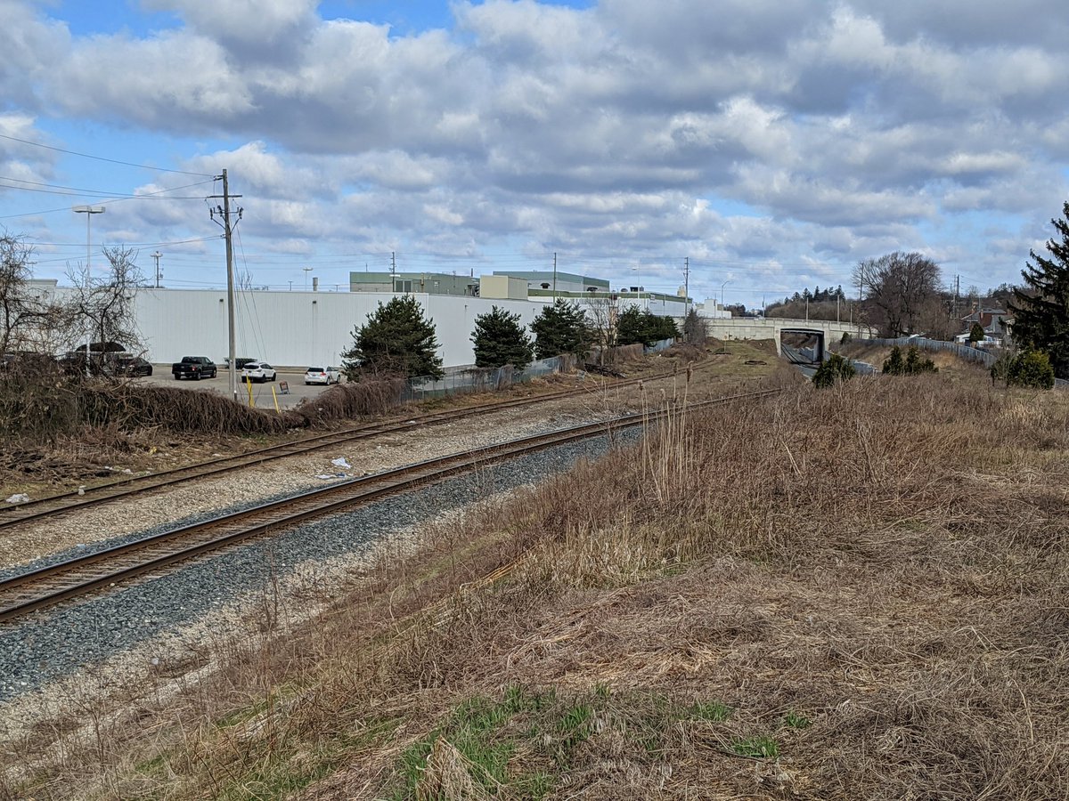


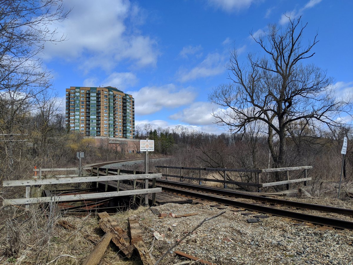


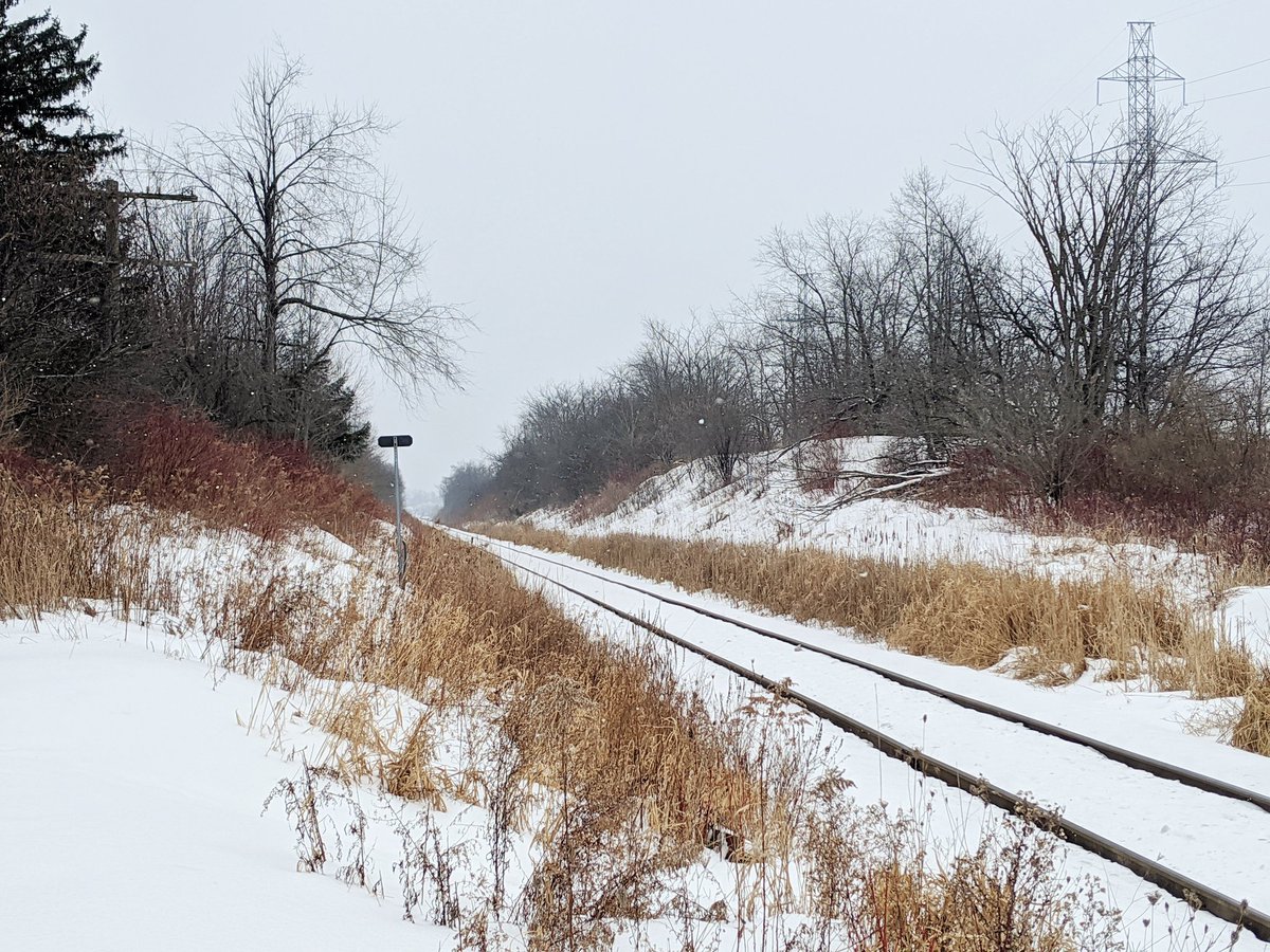
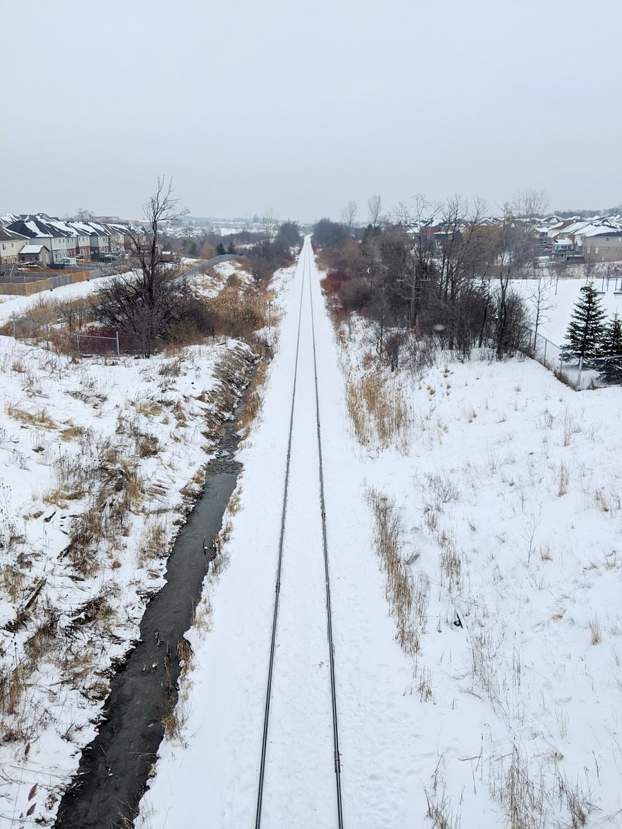
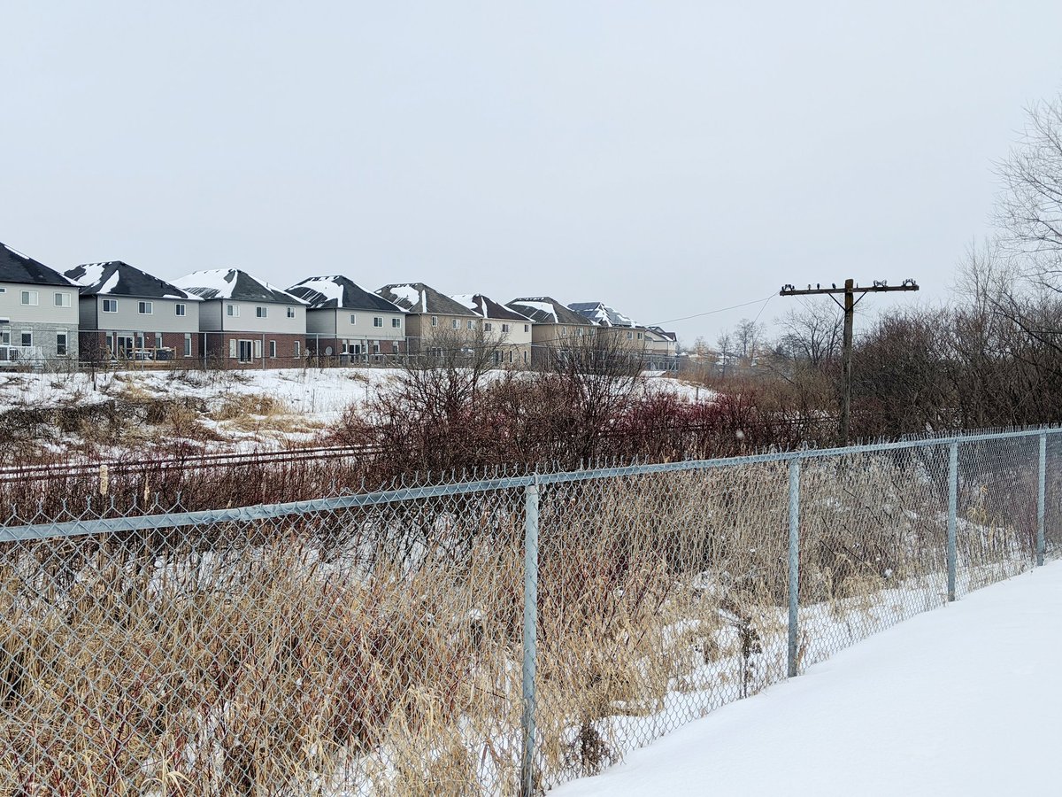
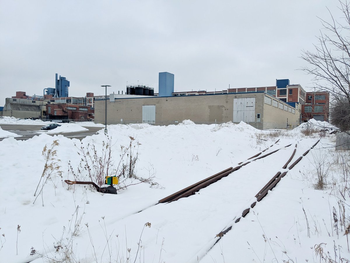
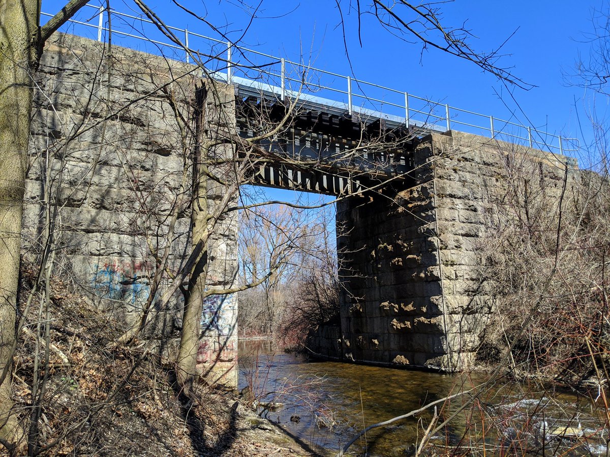
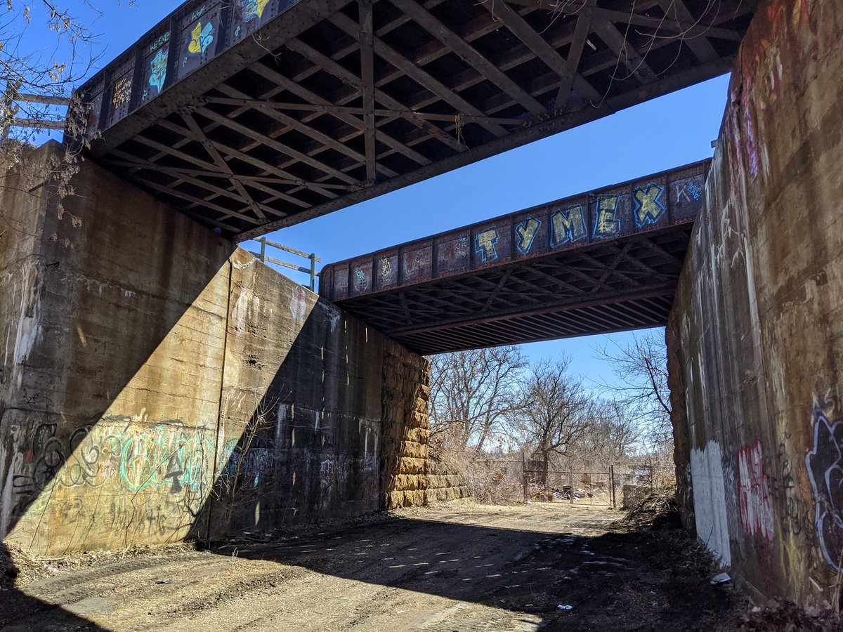
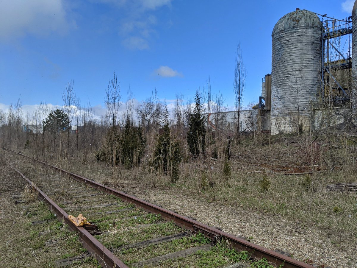
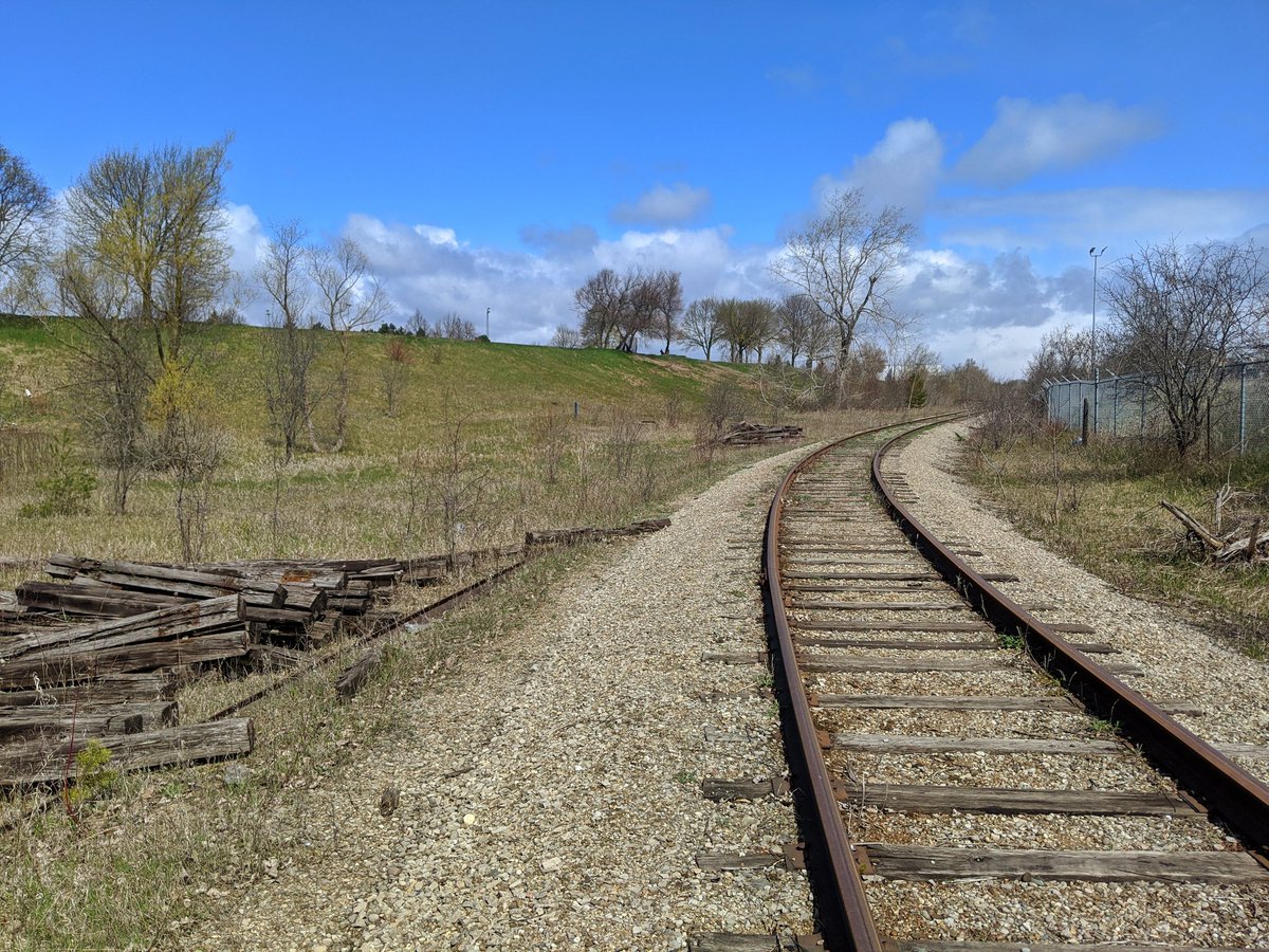
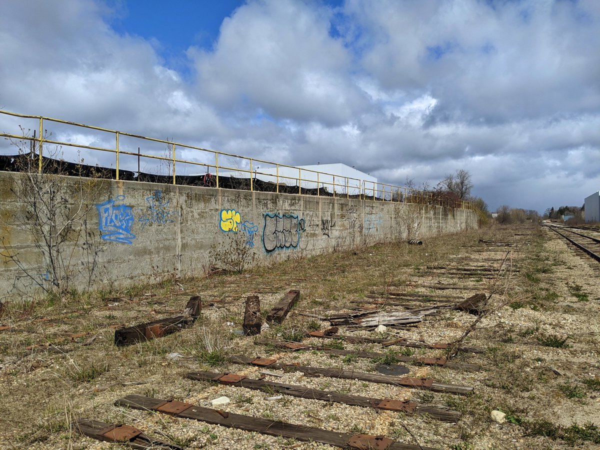
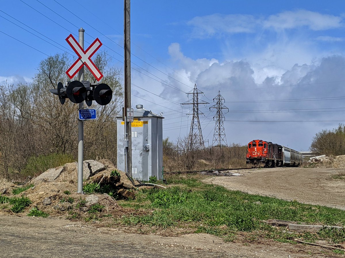
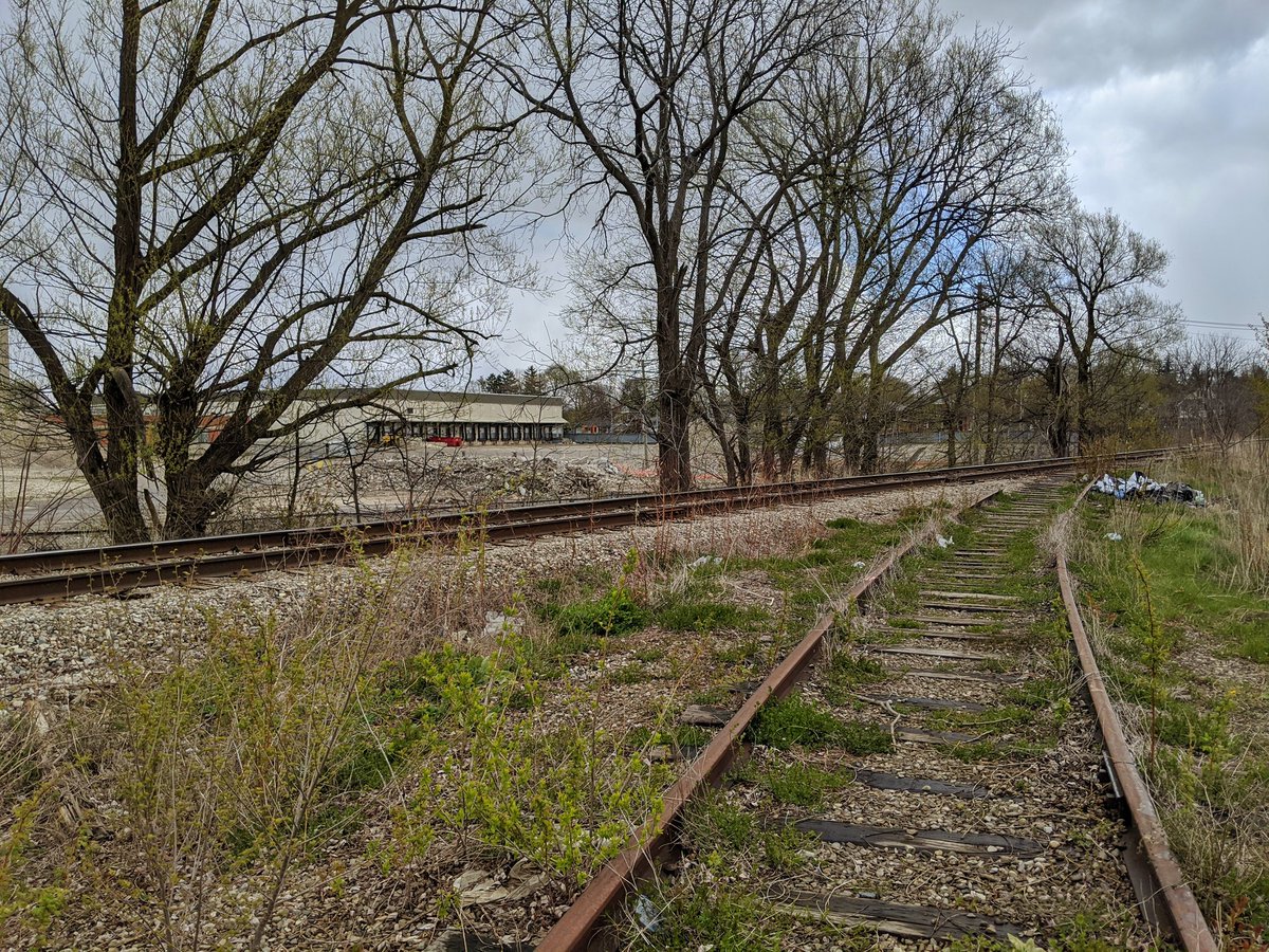
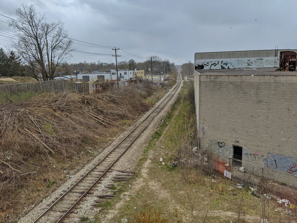
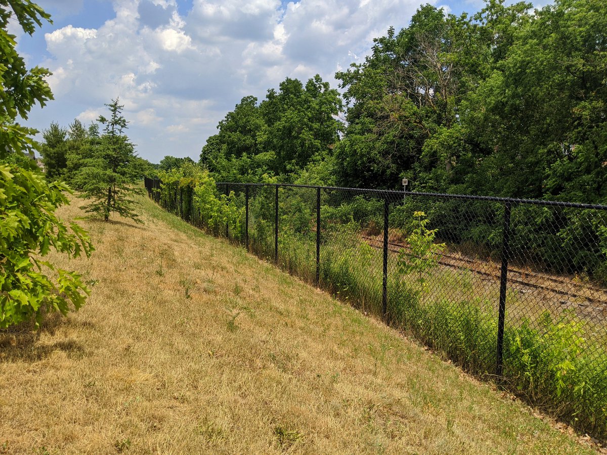
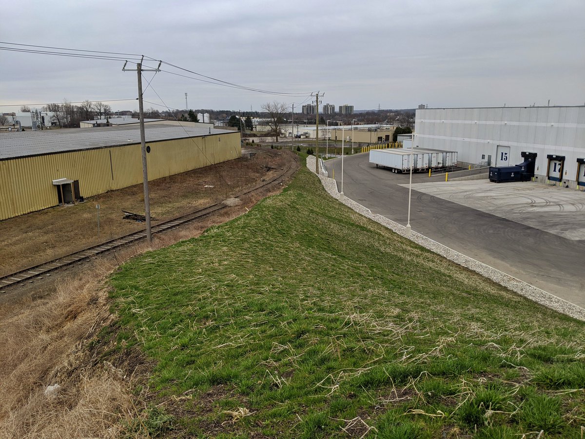
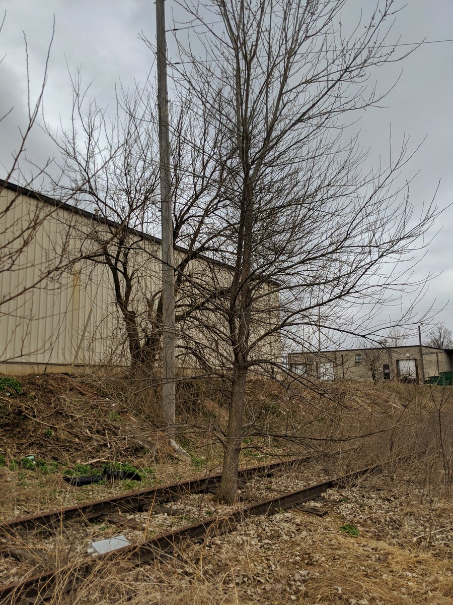
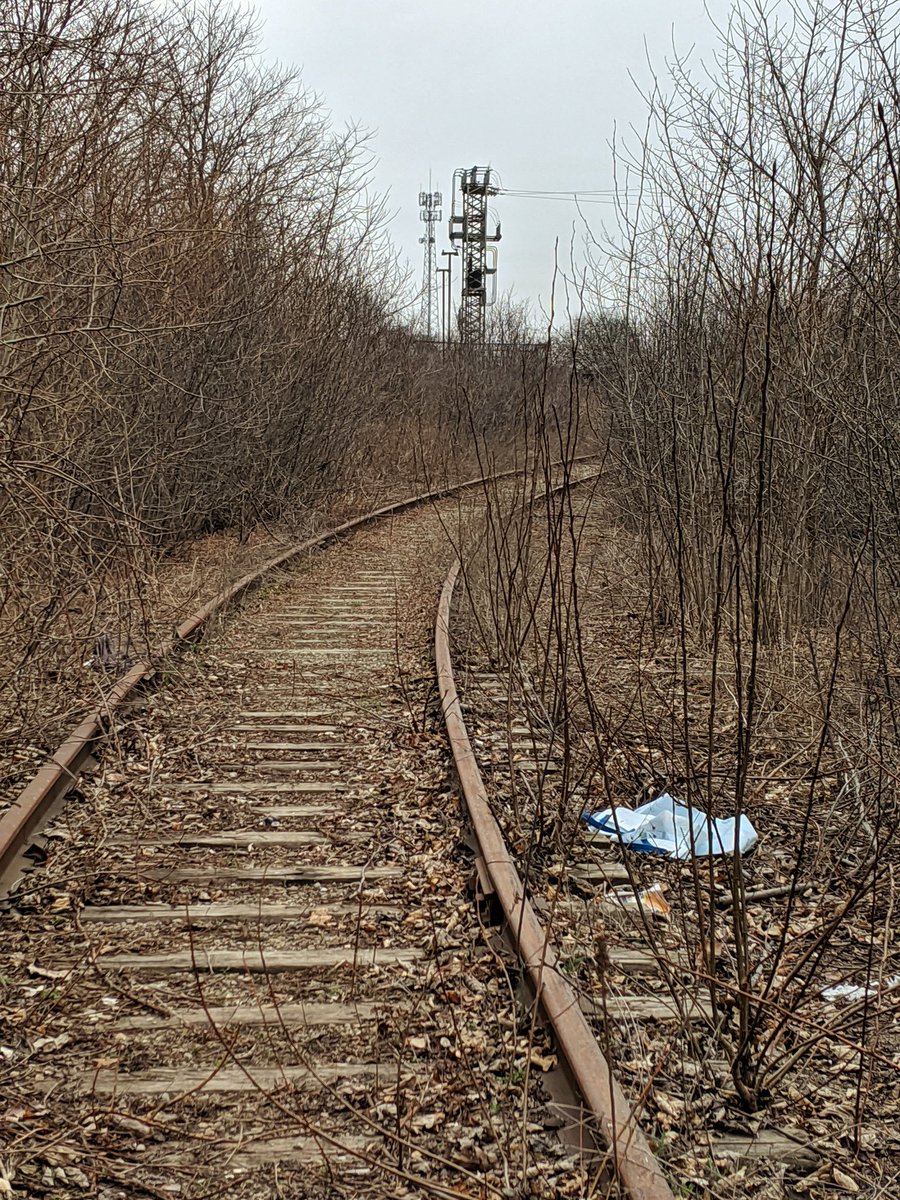
Huron Park Spur
- Length: 8.1 km
- Area: 18.9 ha
- Average Width: 23 m
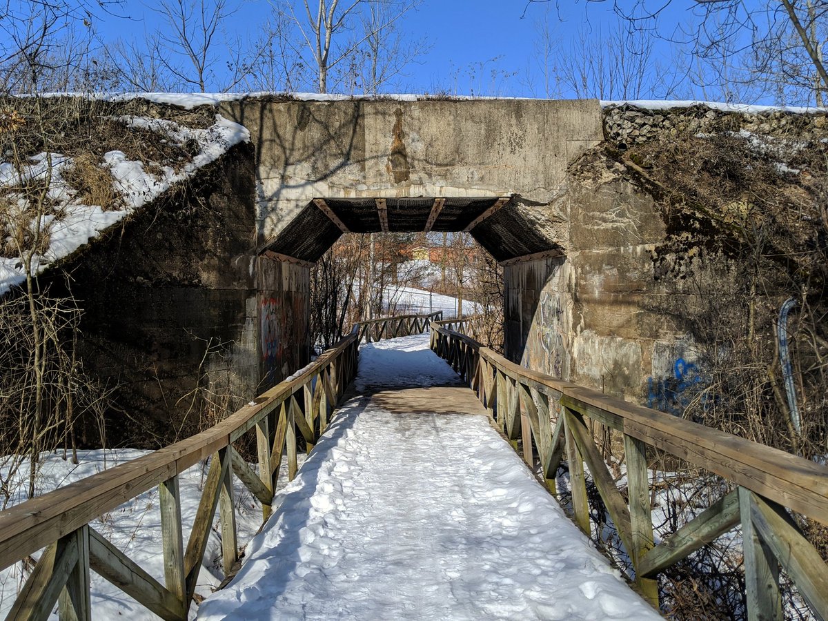
Similar to the Waterloo Subdivision, this spur is a continuation of the former Grand River Railways. At Victoria Park, the mainline continued north under the GTR (now CN) mainline connection, and this is now the Iron Horse Trail. The long wye up to the mainline historically existed too for freight connections, and this still exists today. Like CN’s Galt Spur, the spur south of Block Line Road was newly built to support industrial expansion in south Hespeler. Records are spotty, but it occurred sometime after 1966.
The corridor is a single track, with a yard in the middle where it interchanges with CPKC’s Waterloo Subdivision.
Check out Huron Park & Waterloo Spurs for more images and descriptions


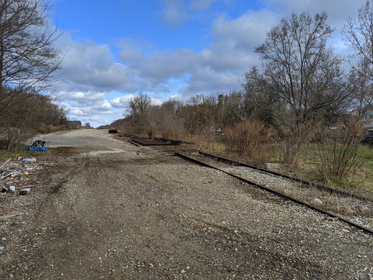
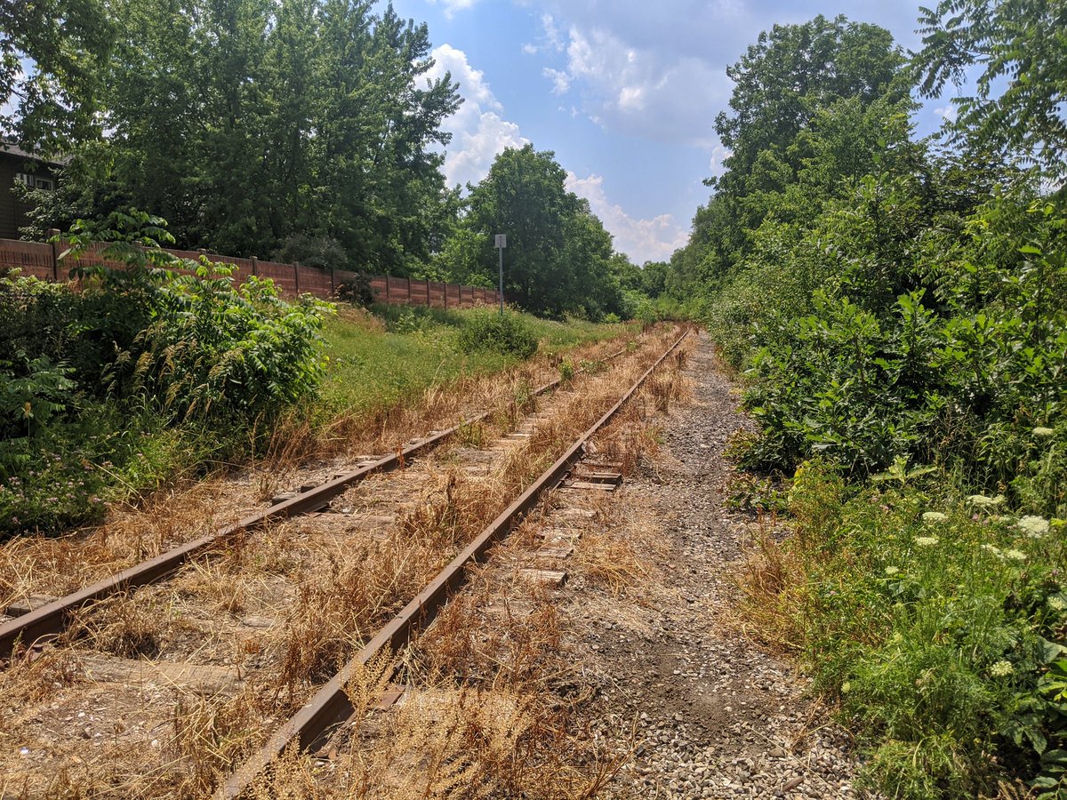
Fergus / Galt Spurs
- Length: 10.2 km / 5.6 km
- Area: 24.4 ha / 8.4 ha
- Average Width: 24 m / 15 m
The Fergus Spur was established as the Guelph & Galt Railway (G&G) in 1856, at the same time the GTR came to Guelph. This connected Guelph to Preston and Galt, now part of Cambridge. This then connected to the Great Western Railway (GWR), which continued to a line connecting London and Hamilton.
The Galt Spur was created to support industrial expansion in south Hespeler. Records are spotty, but it occurred sometime after 1966.
Service along the Fergus Spur lingers on until Eagle Street, where it switches in and out of an industrial park. South of Eagle, the line has been abandoned. Service on the Galt Spur continues as well, though several branches have been abandoned.
Check out Fergus Spur I / Fergus Spur II and Galt Spur for more images and descriptions


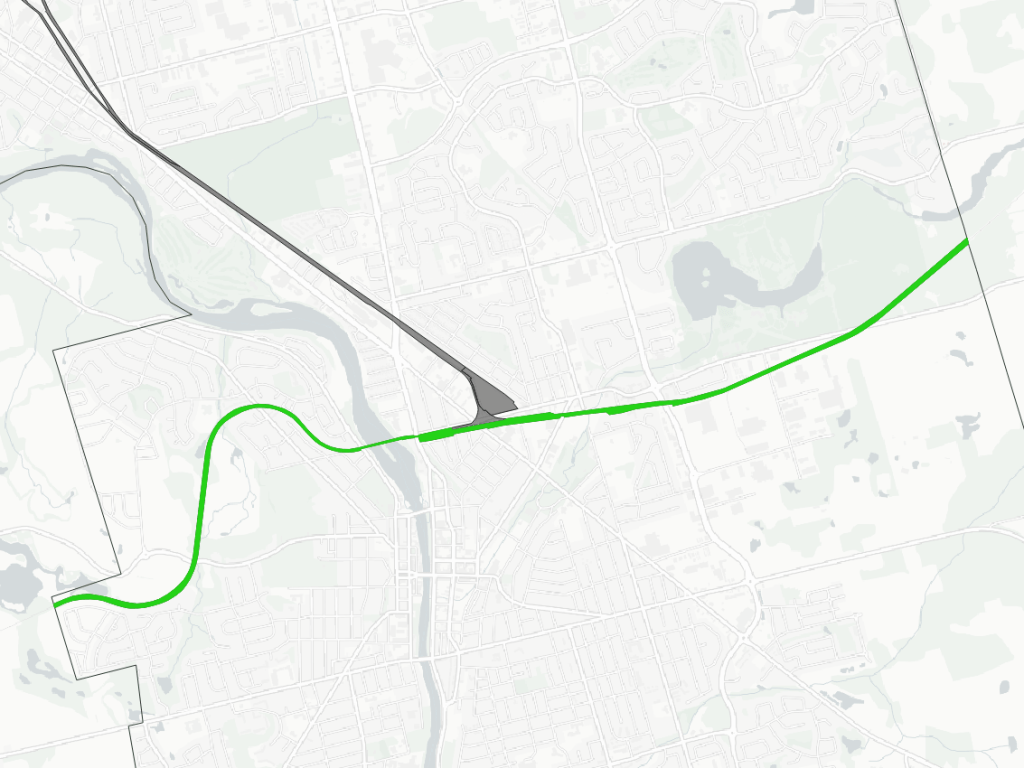
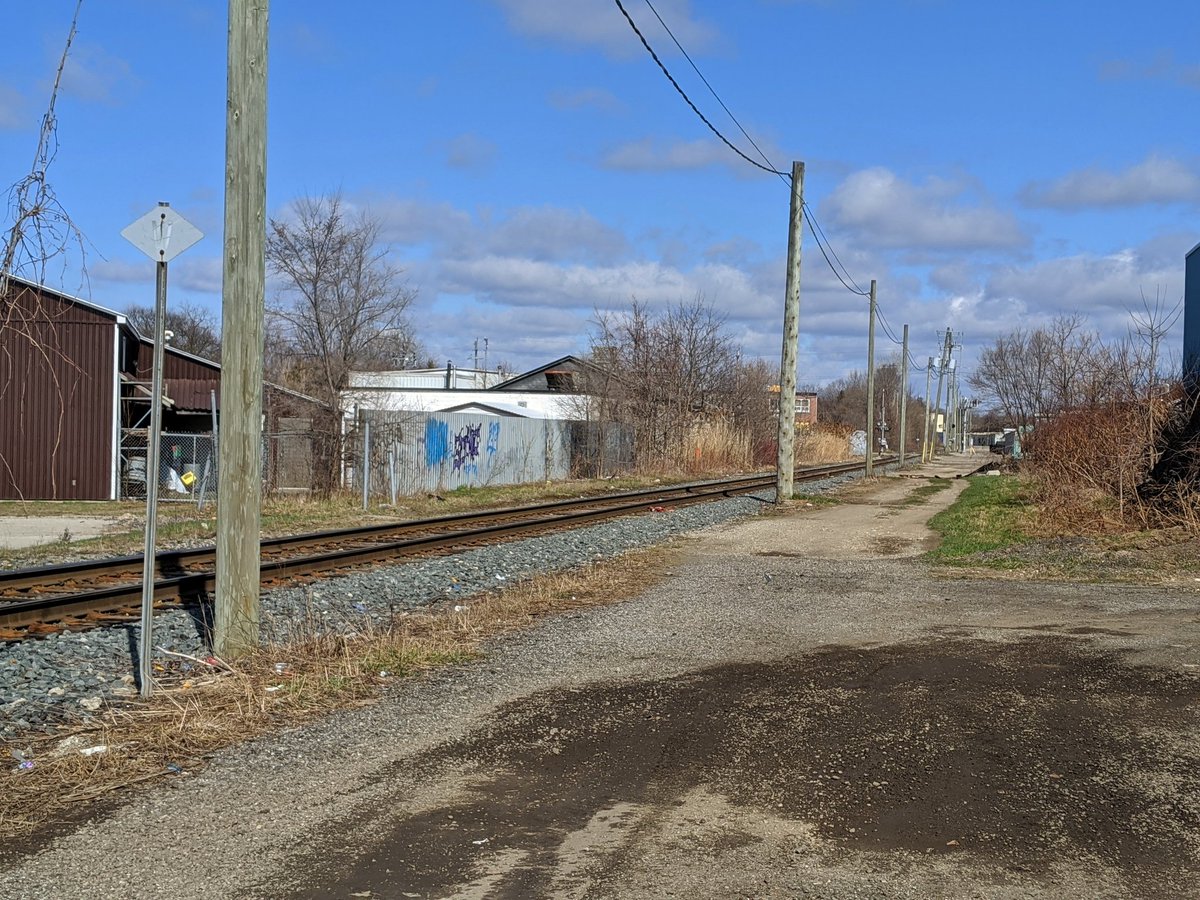
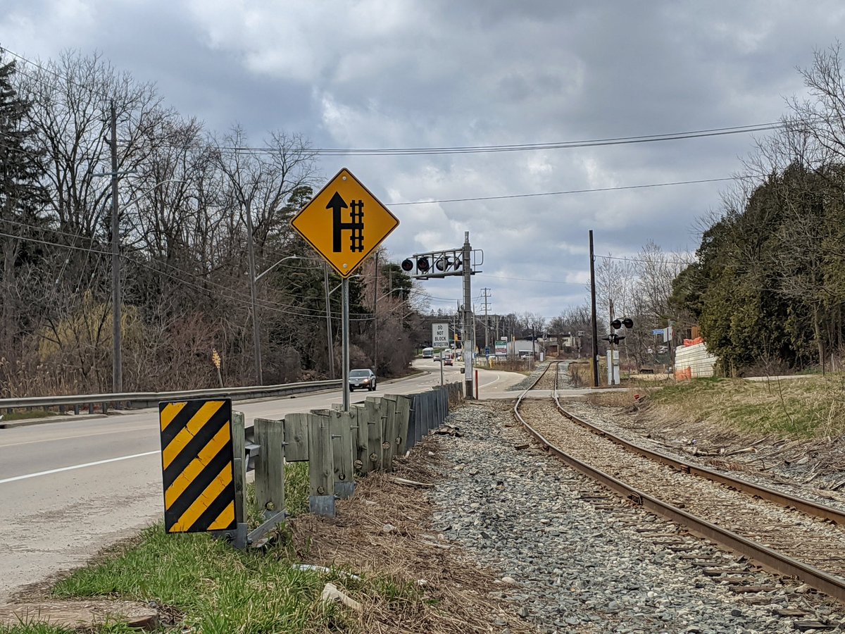
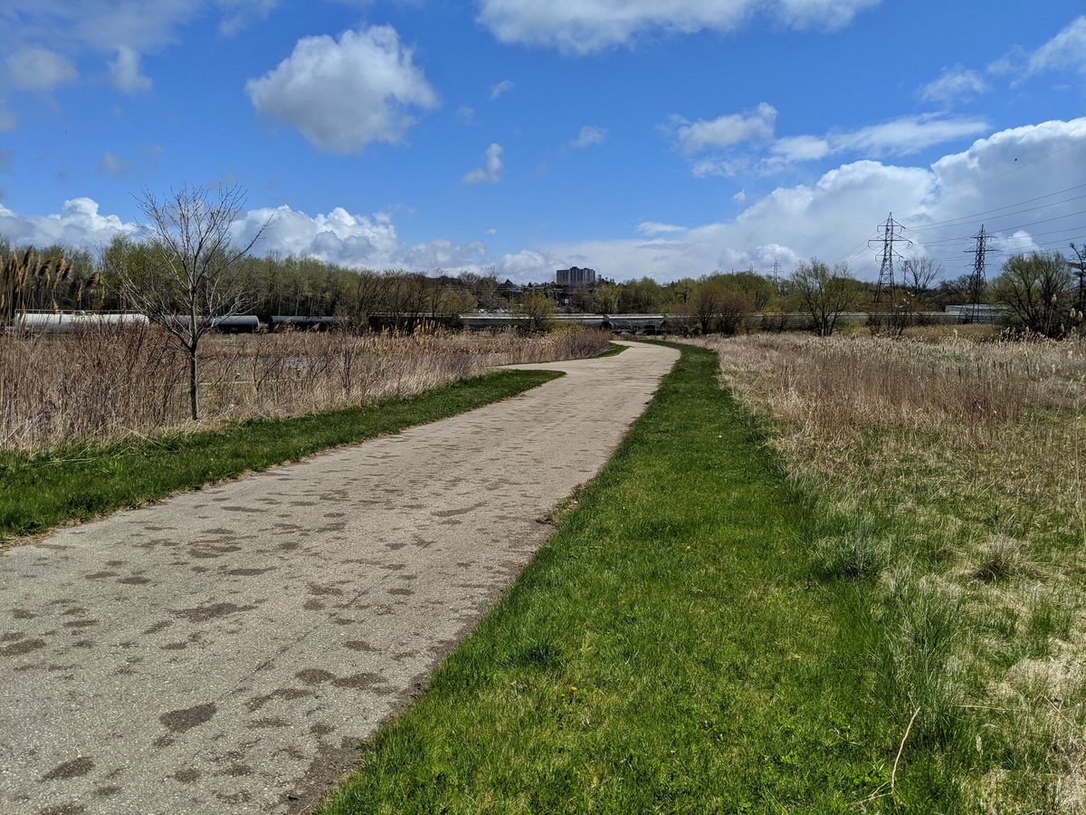
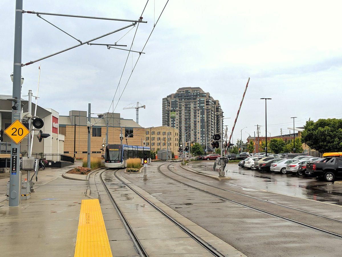
Waterloo Spur
- Length: 4.2 km (8.6 km, including ION)
- Area: 7.6 ha (17.9 ha including ION)
- Average Width: 18 m (21 m, including ION)
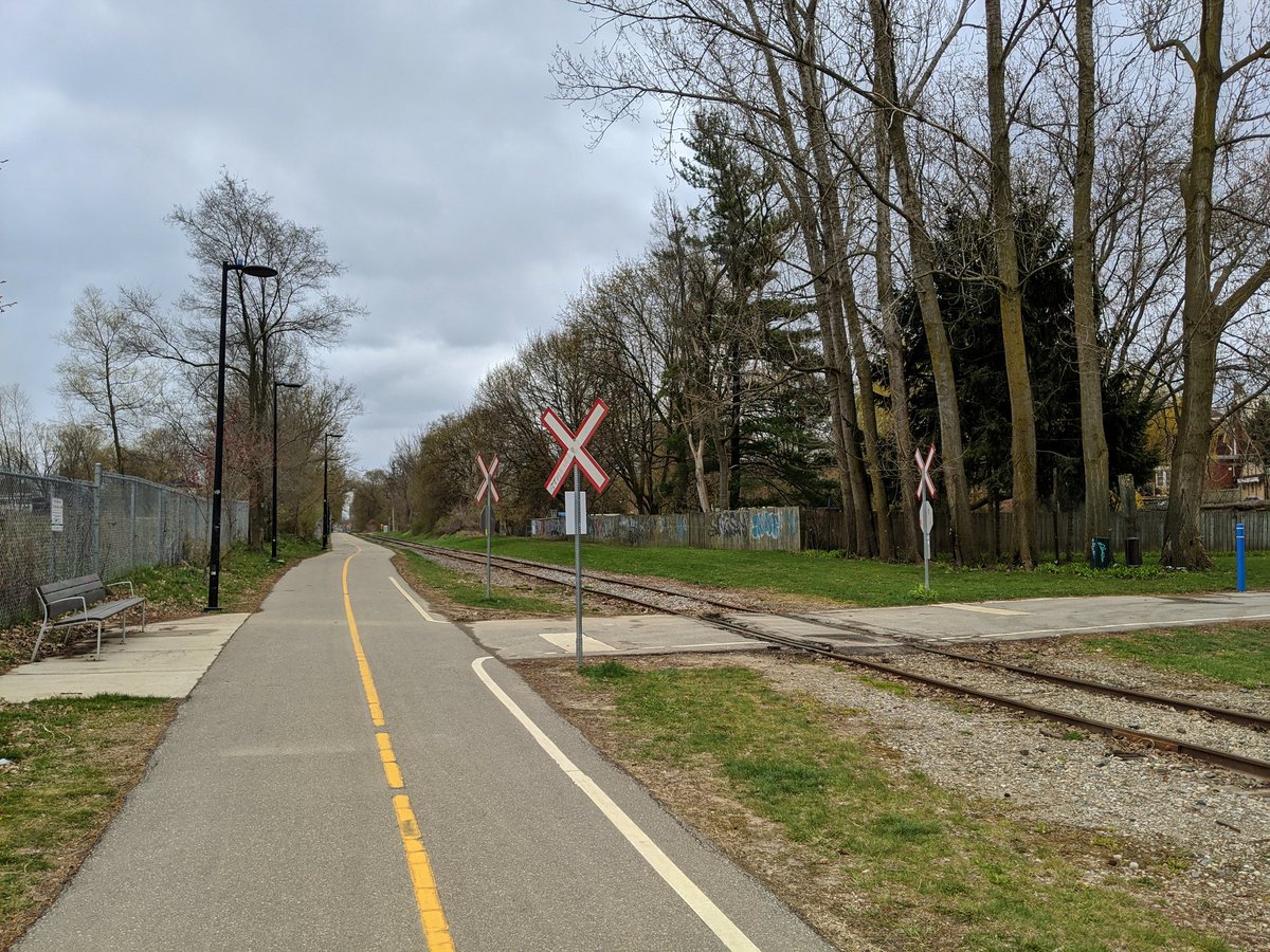
Not to be confused with CPKC’s Waterloo Subdivision, this corridor was built by as the Waterloo Junction Railway in 1890. The GTR leased the line the following year. The corridor used to extend south of GTR’s east-west mainline, connecting via what is now the Iron Horse Trail and Huron Park Spur. The line eventually became part of CN’s network during its formation in 1923.
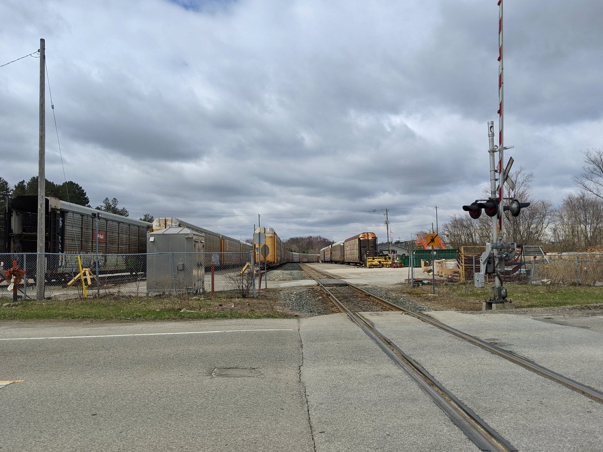
In 1995, the corridor was purchased by the Regional Municipality of Waterloo, with freight operations contracted out to the Goderich–Exeter Railway, who had also leased the Guelph Subdivision. CN took over operations when the mainline lease expired in 2018.
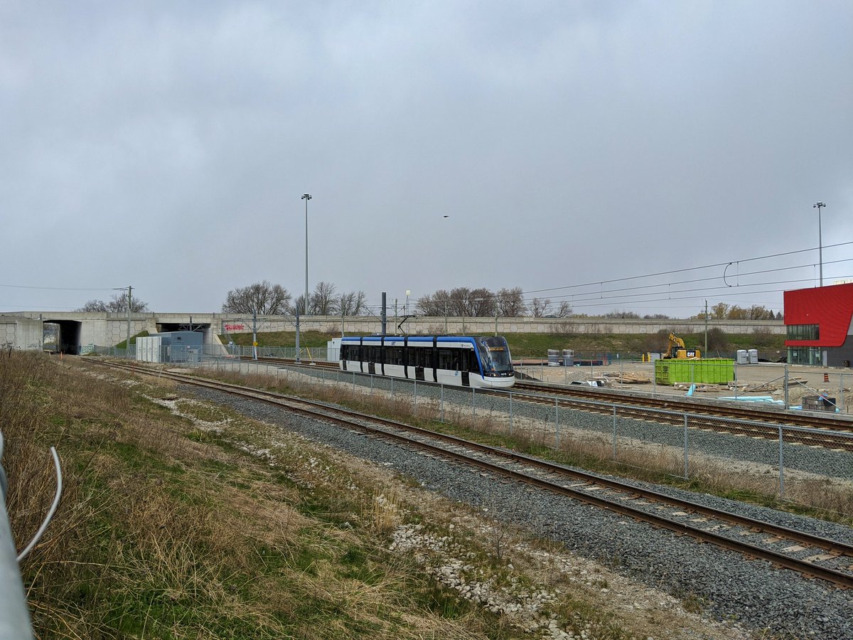
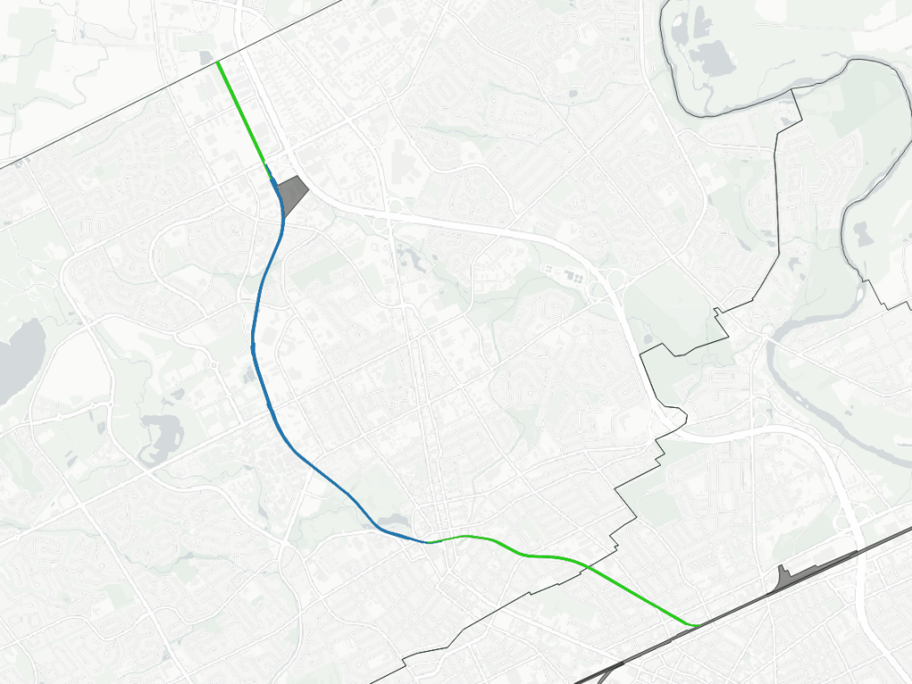
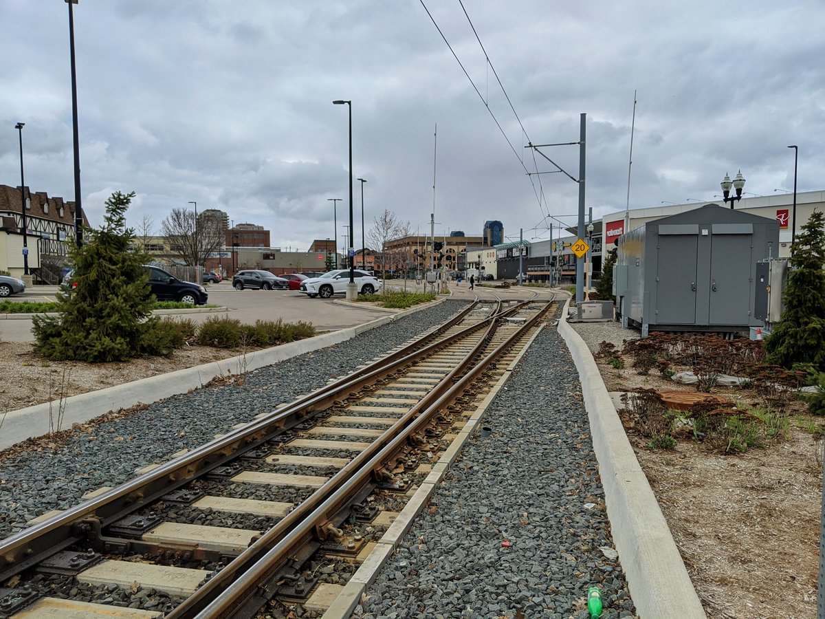
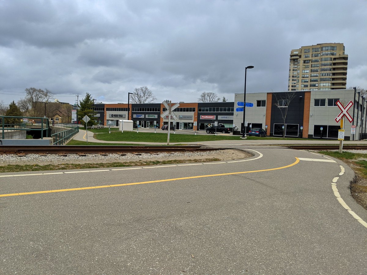
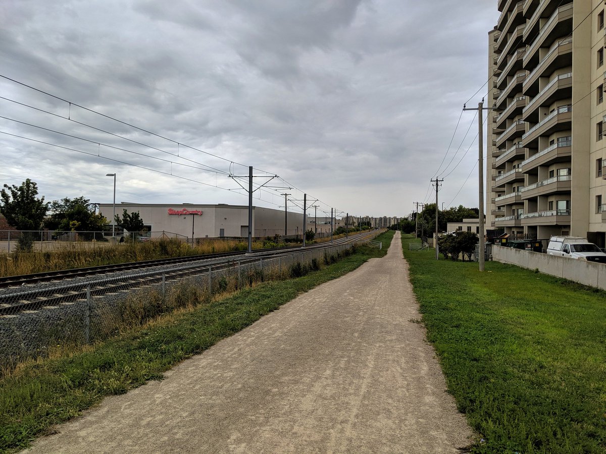
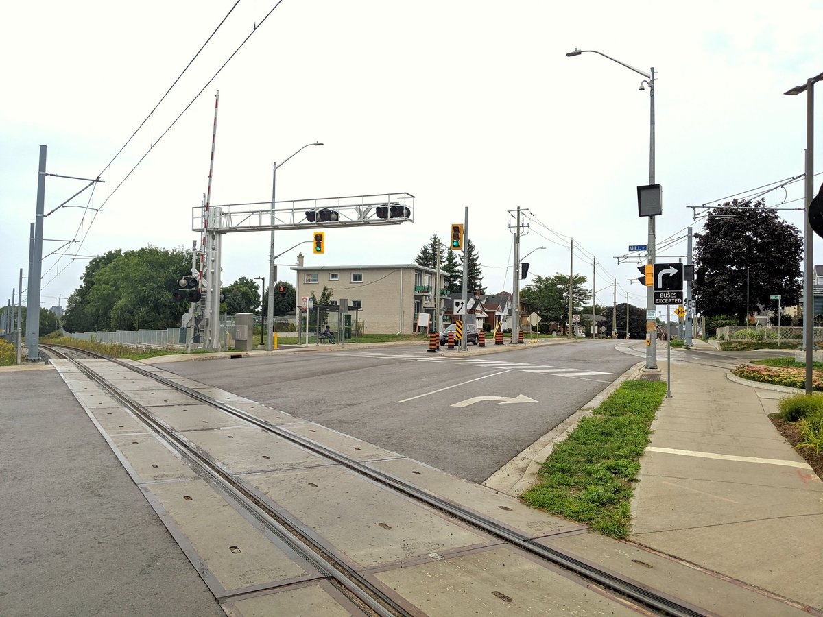
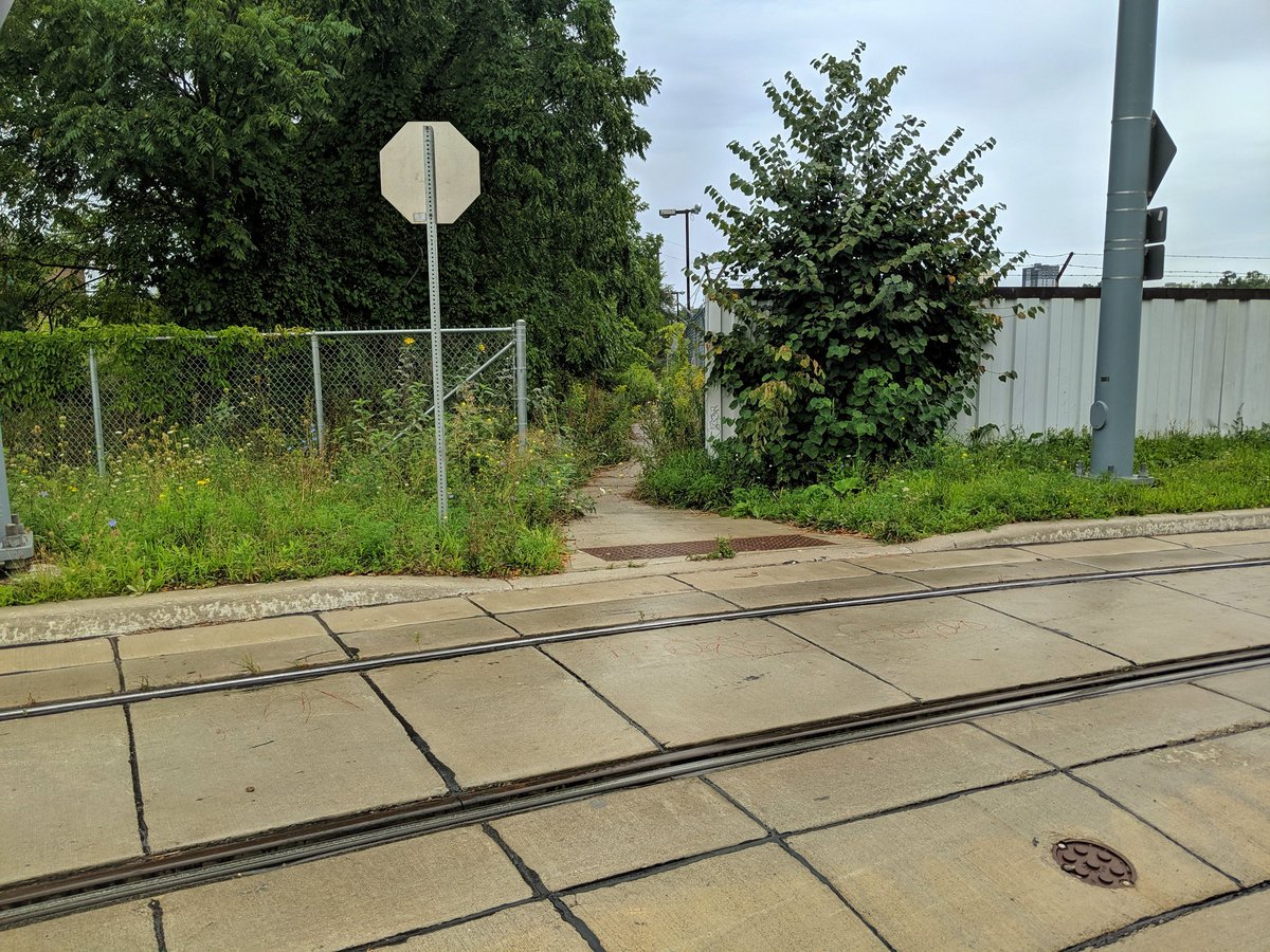
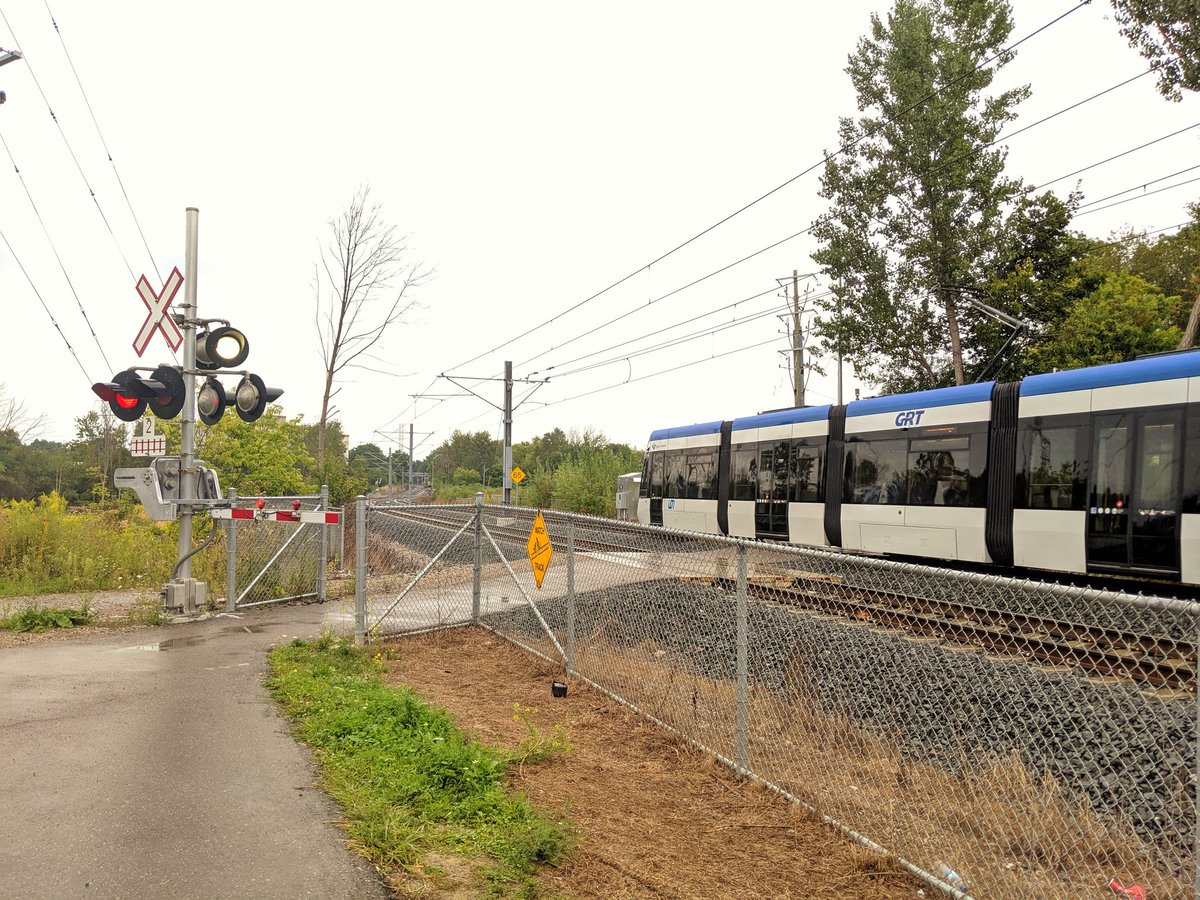
In 2014, the Region began constructing the Waterloo ION. Part of the route uses the Waterloo Spur, from Waterloo Public Square to Northfield Drive. As such, freight runs are on the same track, and are restricted to when the ION is out of service. Other features (“gauntlet tracks” around platforms, overheight detectors, remote derails) help protect against conflicts between transit vehicles and freight trains. The line is technically a single track for freight trains, with a second track where the ION shares the corridor.
Huron Park & Waterloo Spurs contains images and descriptions of the portion
southeast of Waterloo Public Square. See the Waterloo ION section below for more.


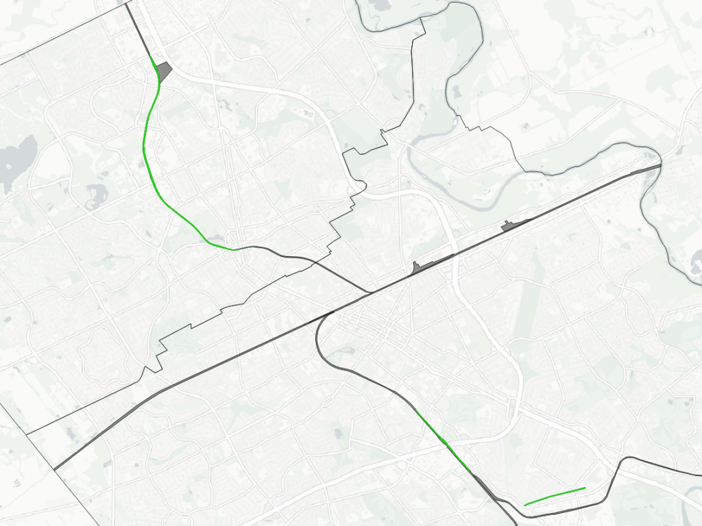
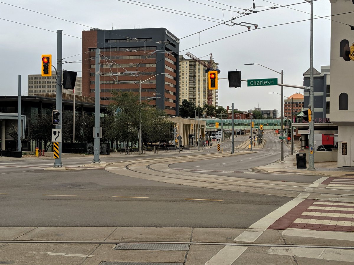
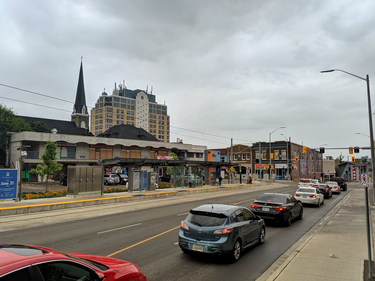
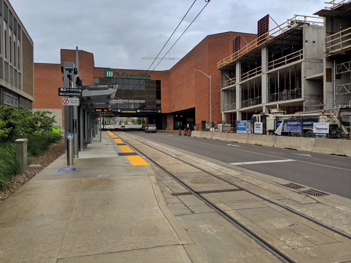
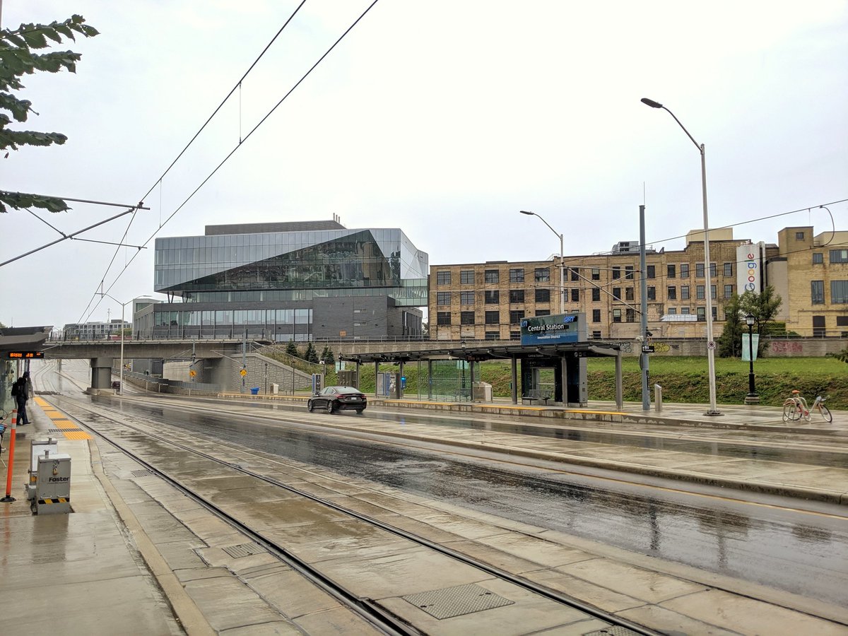
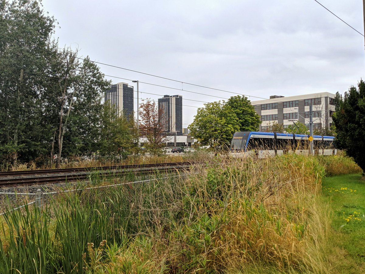
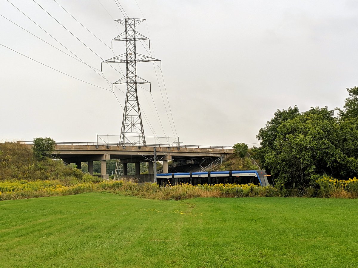
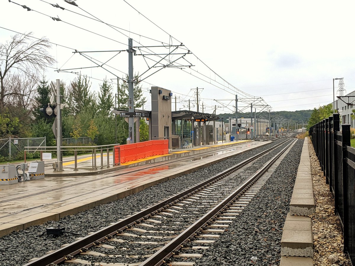
Waterloo ION
- Length: 6.0 km
- Area: 15.2 ha
- Average Width: 25 m
(Stats and mapping are for off-street portions only)
The Waterloo ION is a light rail transit (LRT) system serving Kitchener and Waterloo. The corridor it runs on is a complicated mix of street medians, single track side runs, dedicated off-street rights-of-way (ROWs) and portions shared with freight trains. The off-street ROWs are the most likely to present barriers, as such they are the key portions highlighted.
The entire line is two tracks, stretching from Conestoga Mall in the north to Fairway in the south. One day, it may extend further to Cambridge, but cost escalations have put a damper on plans.
Check out Waterloo ION for more images and descriptions. You can
also check out the future extension route at Waterloo Stage 2.


Notes / Disclaimers
- This data was drawn interpretively, using the Railway Association of Canada’s Canadian Rail Atlas as a general reference. Some interpretive refinements were made, and due to a lack of open parcel data, the exact extent of railway property is a best guess. Therefore this data is provided ‘as is’; please refer to additional disclaimers at the Open Data page.
- While this website advocates for greater active transportation access across and parallel to railways, they are private property and are dangerous places. DO NOT trespass on railways; over 100 Canadians are killed or seriously injured trespassing on or crossing railways each year. Remember that train time is anytime.
References and Further Research
- Old Time Trains
- Electric Lines in Southern Ontario (by the late William E. Miller)
- CNR in Ontario (Jeffery P. Smith)
- University of Waterloo Air Photos Digitization Project
This dataset is available in multiple formats through the Open Data Portal


