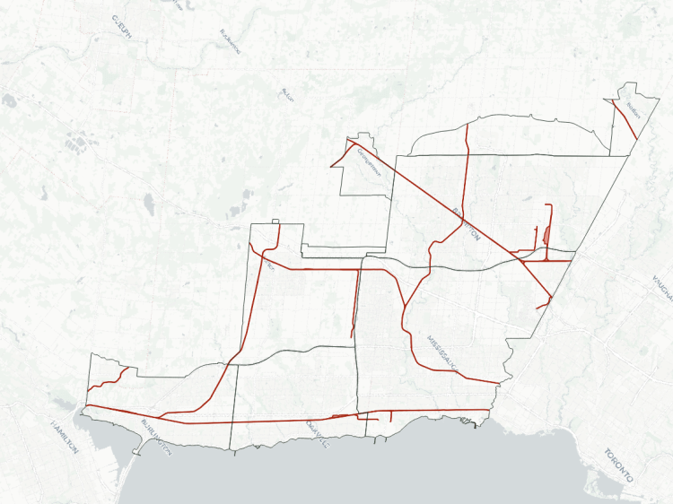
Toronto is built on the legacy of railways. Railways were the main mode of transporting goods and people in and out of the city starting in the mid 19th century, creating a “union station” and a vast amount of yards and industry surrounding it. It became a hub of economic activity that anchored an entire region.
Railways have shaped Toronto into what it is today. While goods do not come into the downtown core anymore, railways across other parts of Toronto are still critical and efficient freight corridors and links for local industry. They also have increased importance as a space-, time- and energy-efficient mode of transporting people.
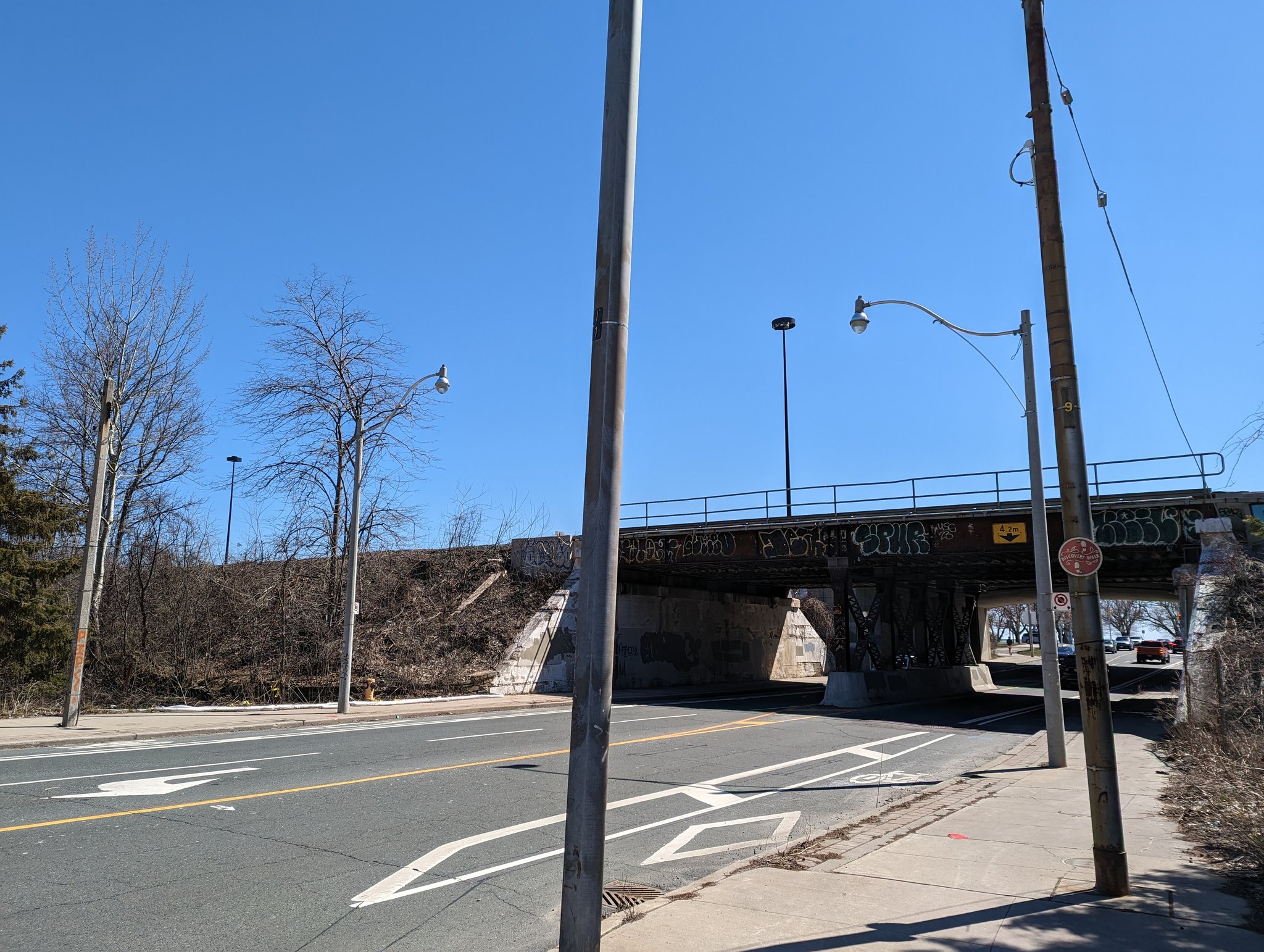
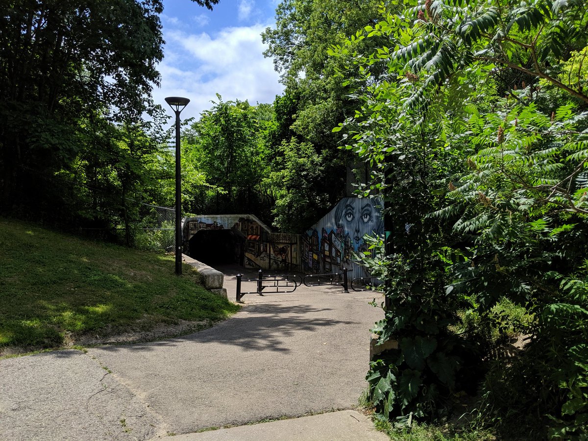
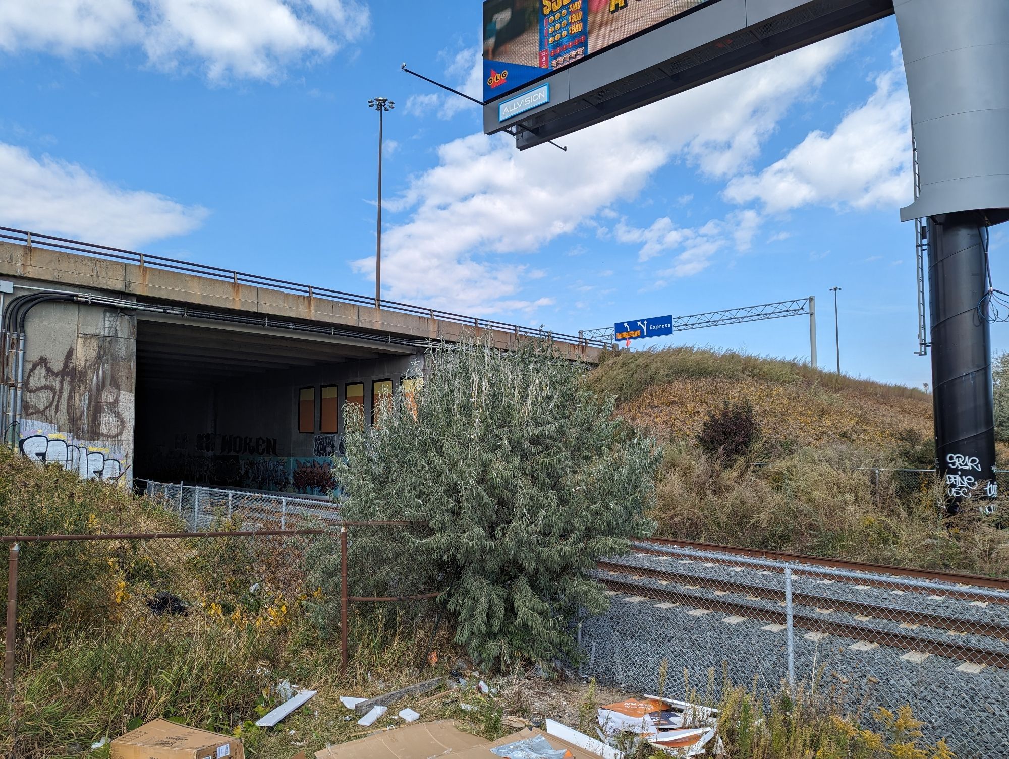
One overlooked issue with railways is how they are long, restricted corridors that cut off access across, over or under them for large distances, creating large distances for pedestrians and cyclists to get around. Improved access across and, in some cases, parallel to these corridors, especially in Canada’s largest city, is low hanging fruit to improving a city’s broader active transportation network. Furthermore, they often sever natural and open spaces in a similar manner, making it a double whammy on the public realm.
Below is a brief history and a profile of the main railway corridors in Toronto.
A Brief History
Railways arrived in Toronto in 1853, providing both critical transportation of freight goods and people into, out of, and through the city. With it came patronage of local businesses, arrivals by new residents, sightseeing and visits by tourists, as well as a hotbed for industry. The Ontario, Simcoe & Huron Railway was the first railway that came to town, but competition soon followed: Great Western Railways, Grand Trunk Railway (GTR), and Canadian Pacific (CP) Railway.
The multiple railways created the need for a “union station” where they could jointly operate their services, so passengers could conveniently transfer between them. Toronto’s first and second Union Stations were built in 1858 and 1873, respectively, and both were was quickly overloaded by demand. In 1906, the Toronto Terminals Railway (TTR) was incorporated as a joint 50/50 venture between GTR and CP to build, operate and maintain a third new Union Station (as well as the tracks into and out of it).
The station building was completed in 1920, and is the Union Station that currently stands today. The track system and other key system elements (e.g. the train shed, road underpasses, and concourse) weren’t completed for another decade. During this time, GTR fell into financial difficulty and was nationalized by the federal government, becoming part of Canadian National (CN) Railway. Bankruptcies, nationalization, mergers or acquisitions in the railway industry continued, and while several other railway companies used to operate in Toronto, all major corridors within the city limits were eventually consolidated into ownership by either CN or CP. TTR remained as the 50/50 joint owned company between them.
As time went on, the mid-20th century rise of the automobile reduced the importance of railways. At the same time, Toronto’s downtown core was growing and changing. The Greater Toronto Area’s population began to soar, the employment landscape began shifting from heavy industry to light commercial and office work, environmental standards increased. These forces pushed land values and the cost of doing business up, shifting freight railways, their large yards, and associated industries outwards. It also increased the number of workers and visitors moving throughout the Greater Toronto Area, raising the importance of transporting people by rail.
Yet railway passenger services were not as profitable as they were before the age of the automobile, or were even losing money, which led to private railways to reduce passenger services, or abandoning them altogether. This drove governments to intervene, so that some of these critical transportation corridors could be maintained, and urban centres still had an option for efficiently moving people.
After various initiatives to improve CN’s passenger services, VIA Rail was spun off as a new, separate federal Crown corporation in 1977 to take over intercity passenger rail services entirely. The following year, VIA took over CP passenger services, and became the national passenger train service resembling what we know today.
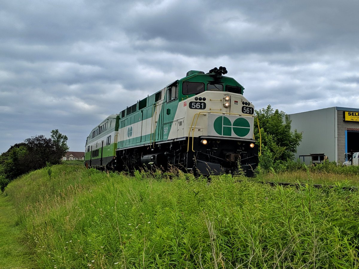
GO Transit was created before this in 1967, as an “experiment” to provide commuter services in and out of Toronto. As the need of running freight rail services into downtown Toronto declined and the need for commuter services increased, GO Transit (and it’s successive parent agency Metrolinx) began obtaining ownership of these lines. This afforded GO more control over operation and maintenance of the lines.
Today, CN’s freight services are relegated to the outer corners of the city, while CP (now Canadian Pacific Kansas City or CPKC) maintains a presence through the middle. But freight rail service to individual businesses via spurs has slowly rotted away. Freight trains have not gone through the Union Station rail corridor for years now, and even the rails connecting the Port Lands were lifted in the early 2020s.
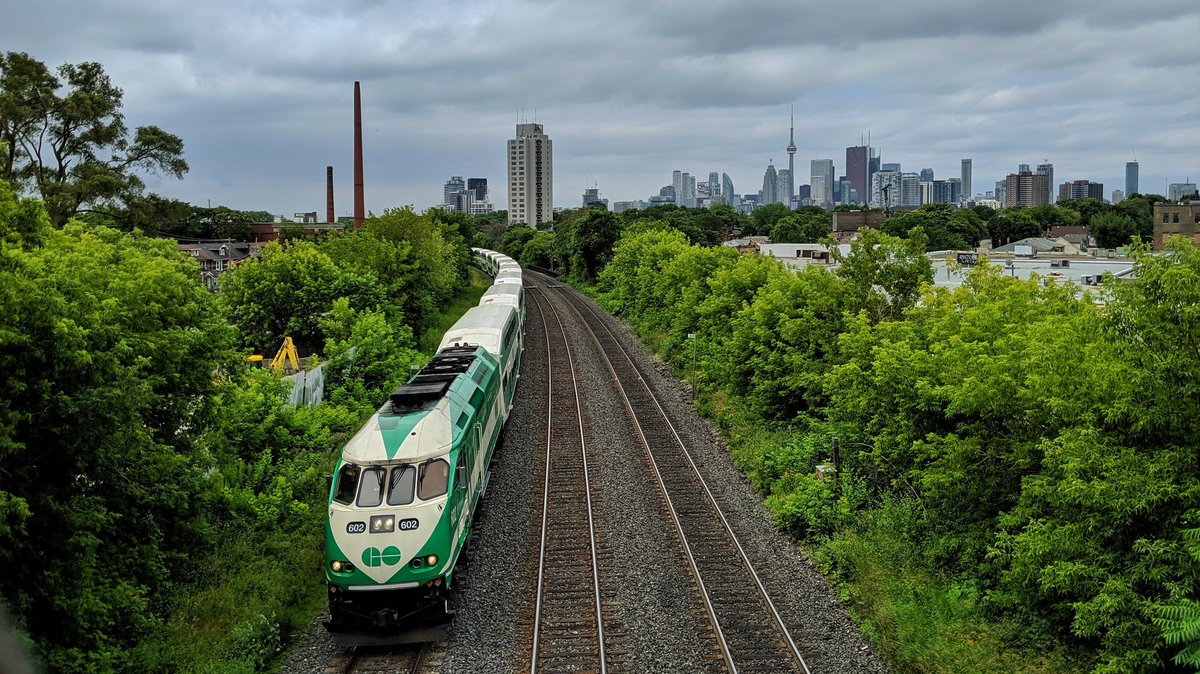
Meanwhile, GO trains are bursting the seams of the corridors they took over. Since 2000, there has been steady investment to double-track all current lines, and even provide space to run express trains or service to maintenance yards. Once massive expansion was known as the Georgetown South Project, which expanded tracks between Union Station and Pearson Airport and grade-separated many roads, allowing more frequent GO trains and running the Union Pearson Express.
Railway Corridors

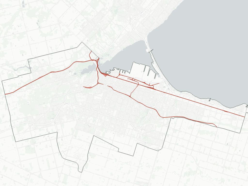
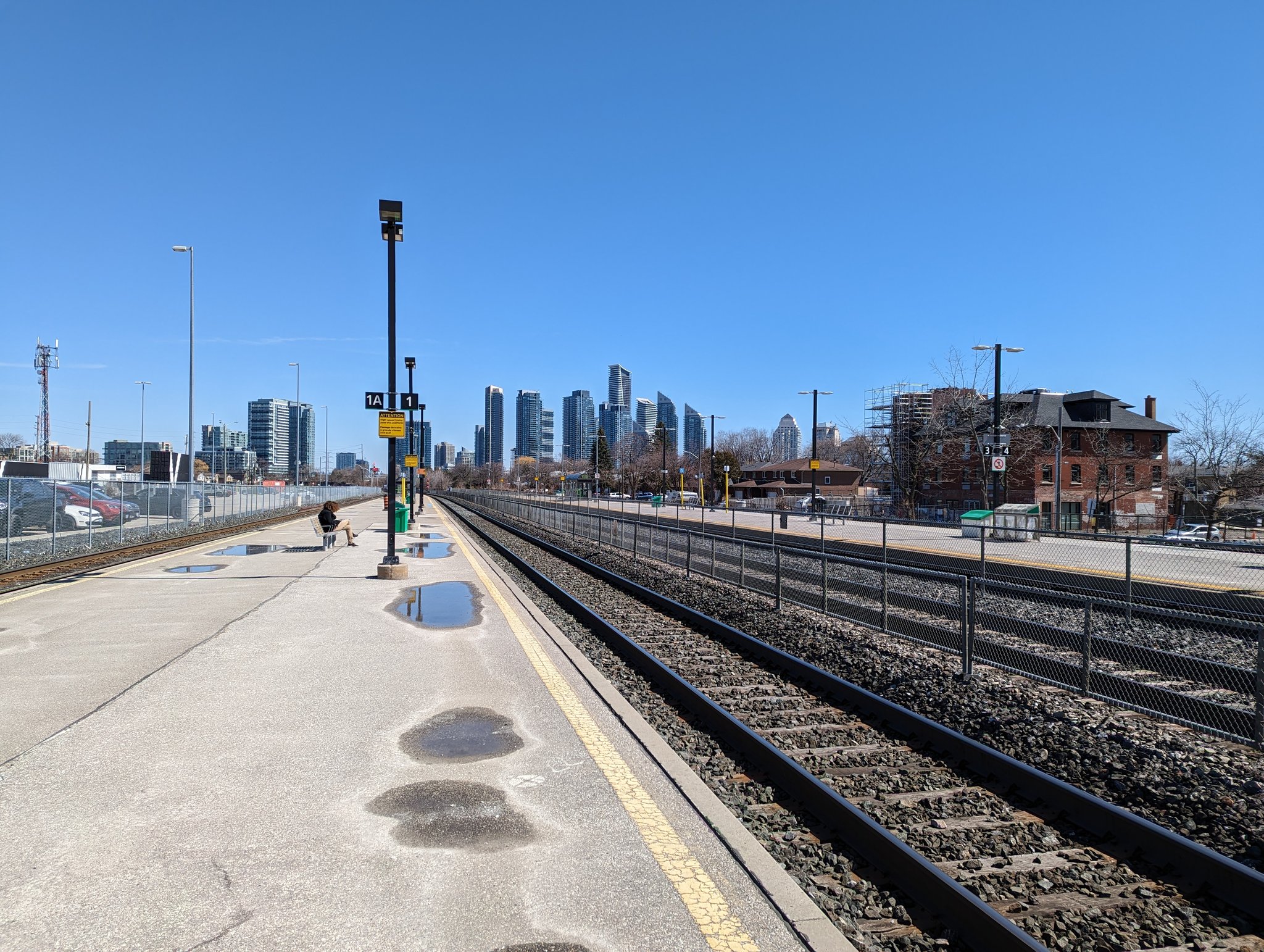
Union Station Rail Corridor
Area: 37.7 ha
Length: 6.3 km
Average Width: 60 m
Tracks: 9 – 16
Crossings:
Roads: 11
Trails: 4
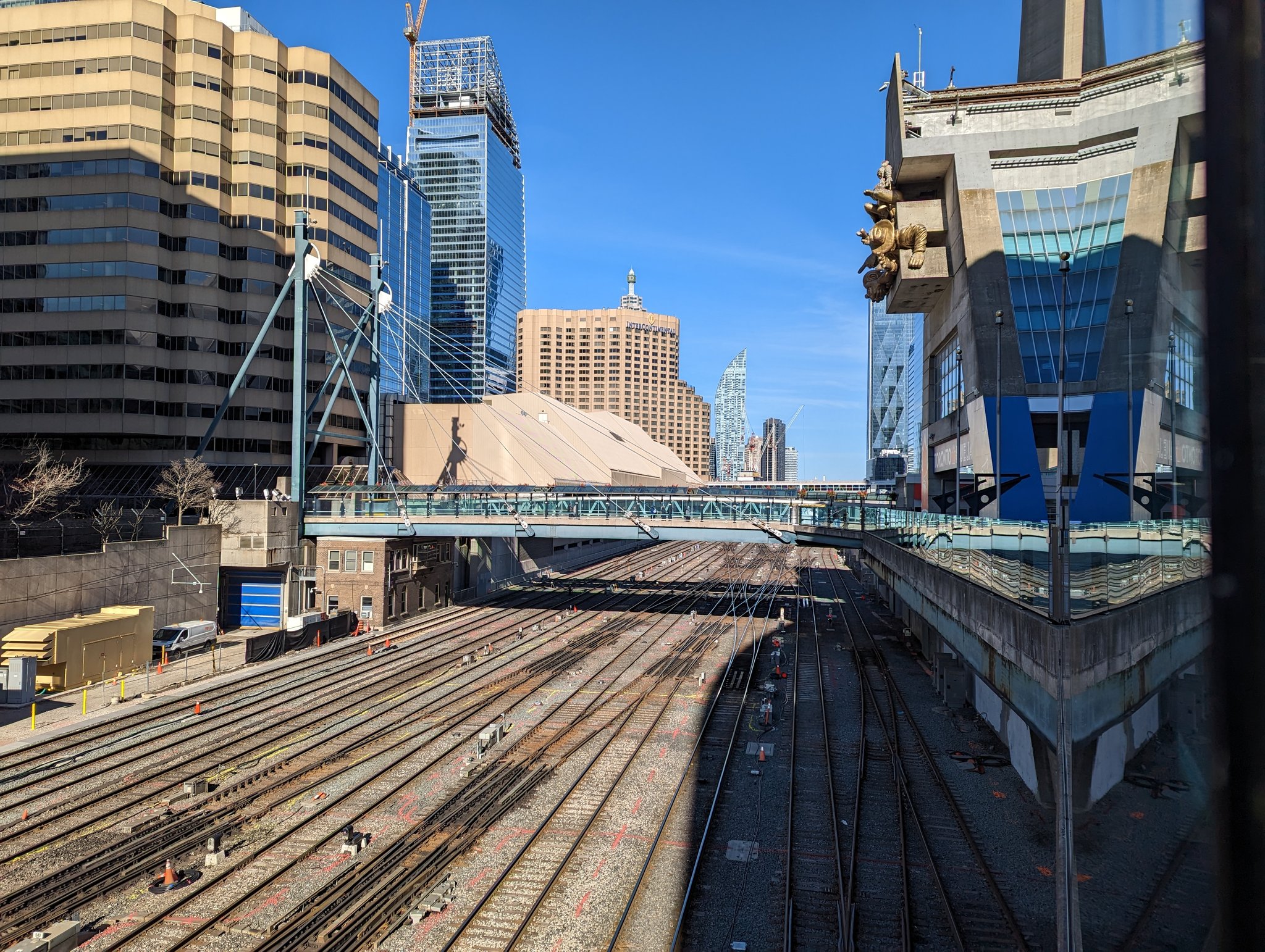
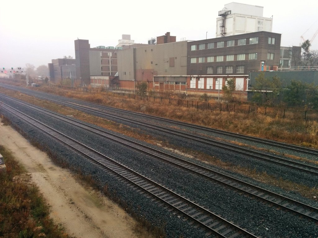
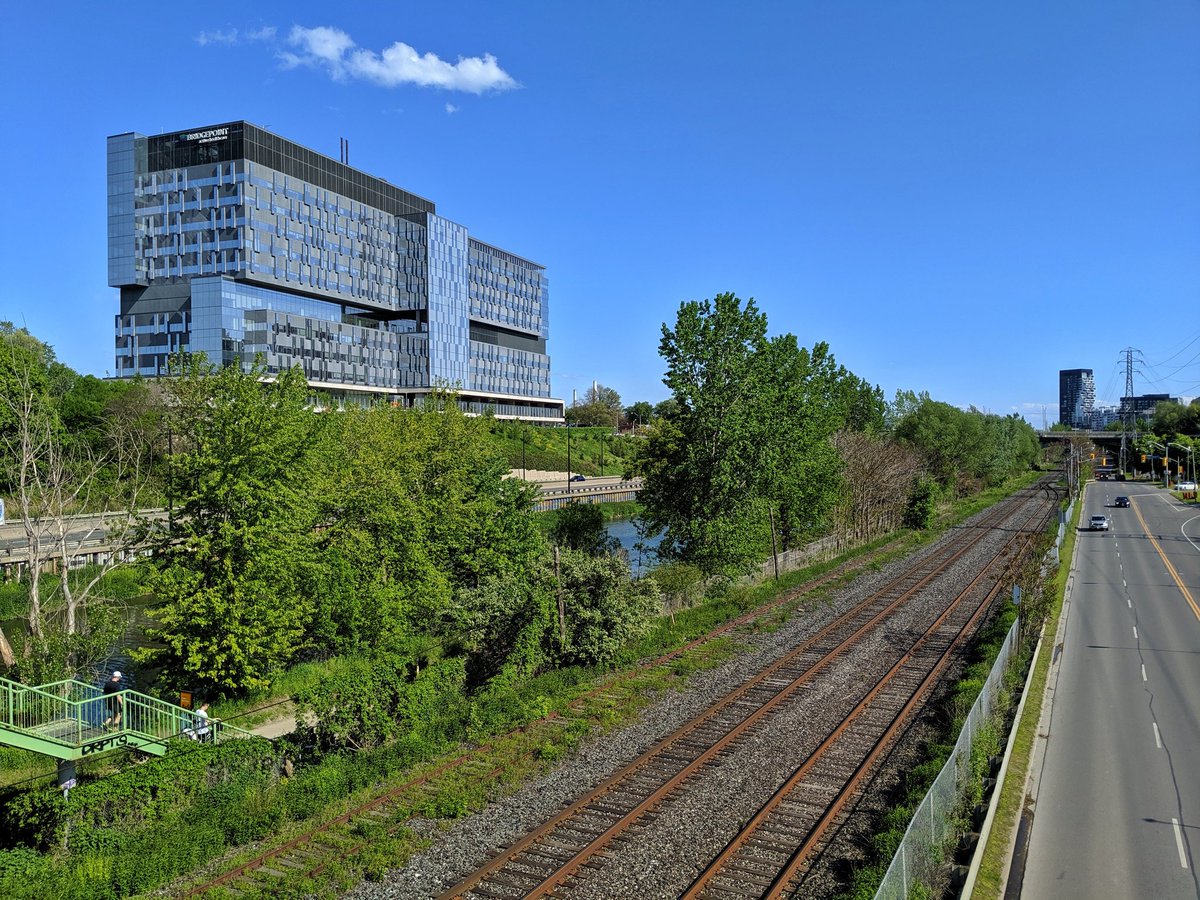
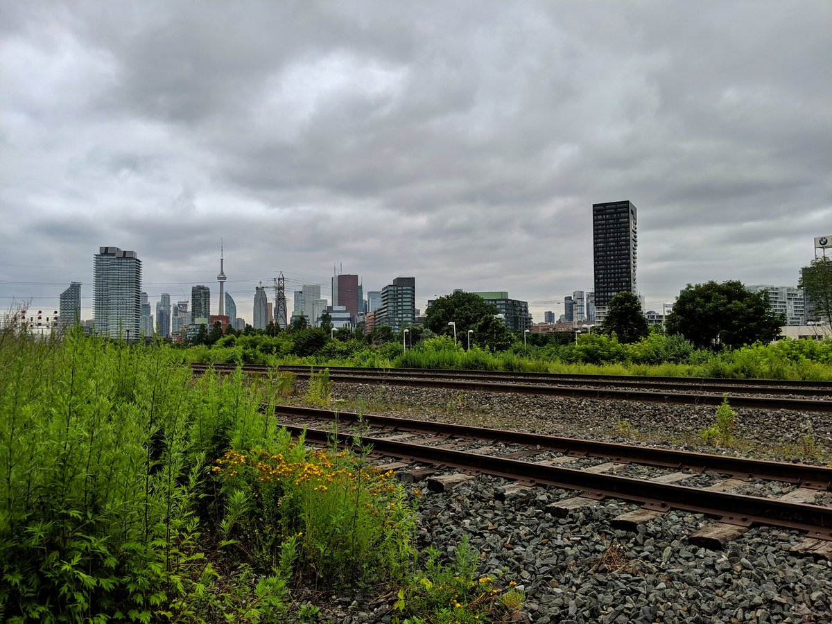
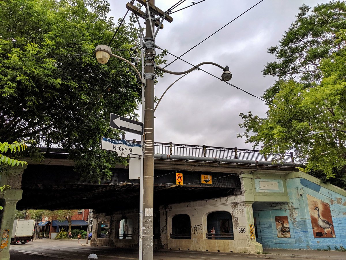
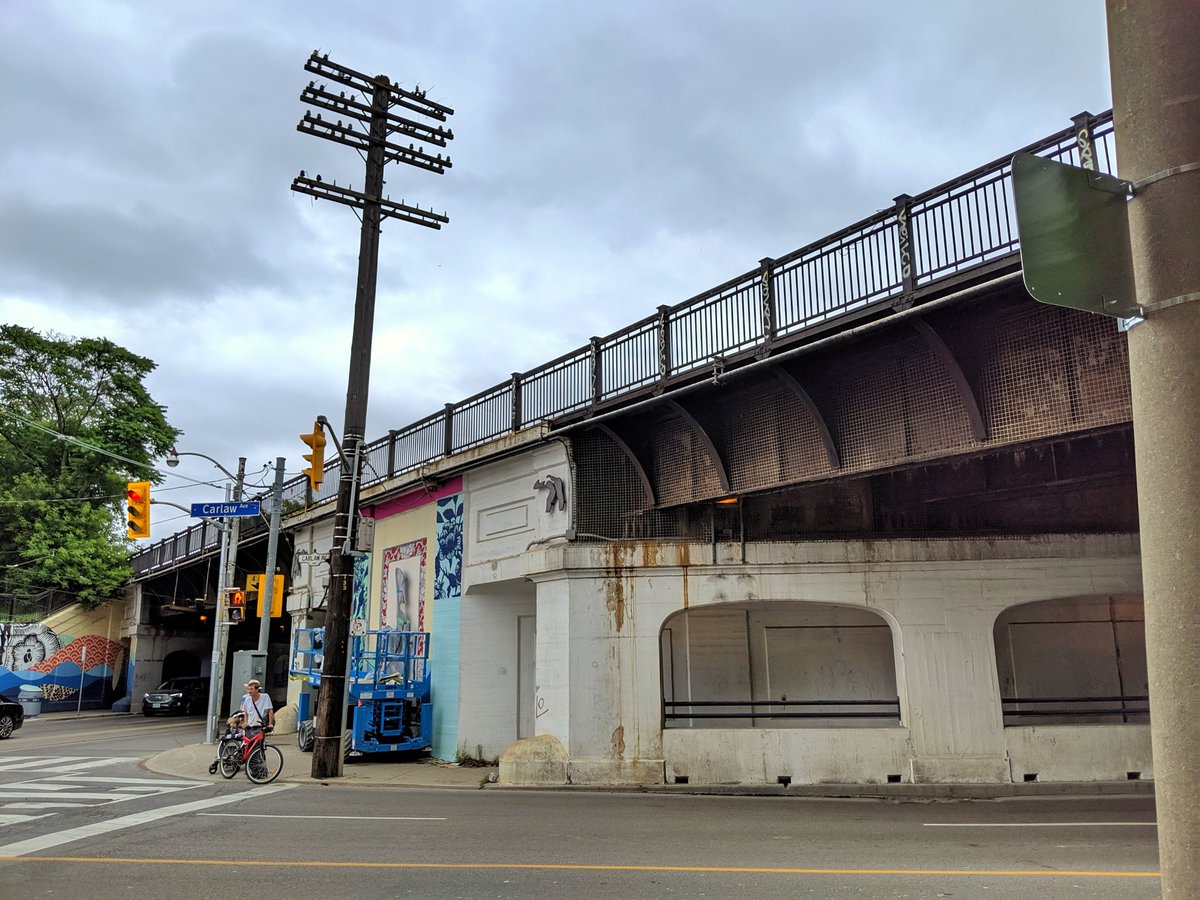
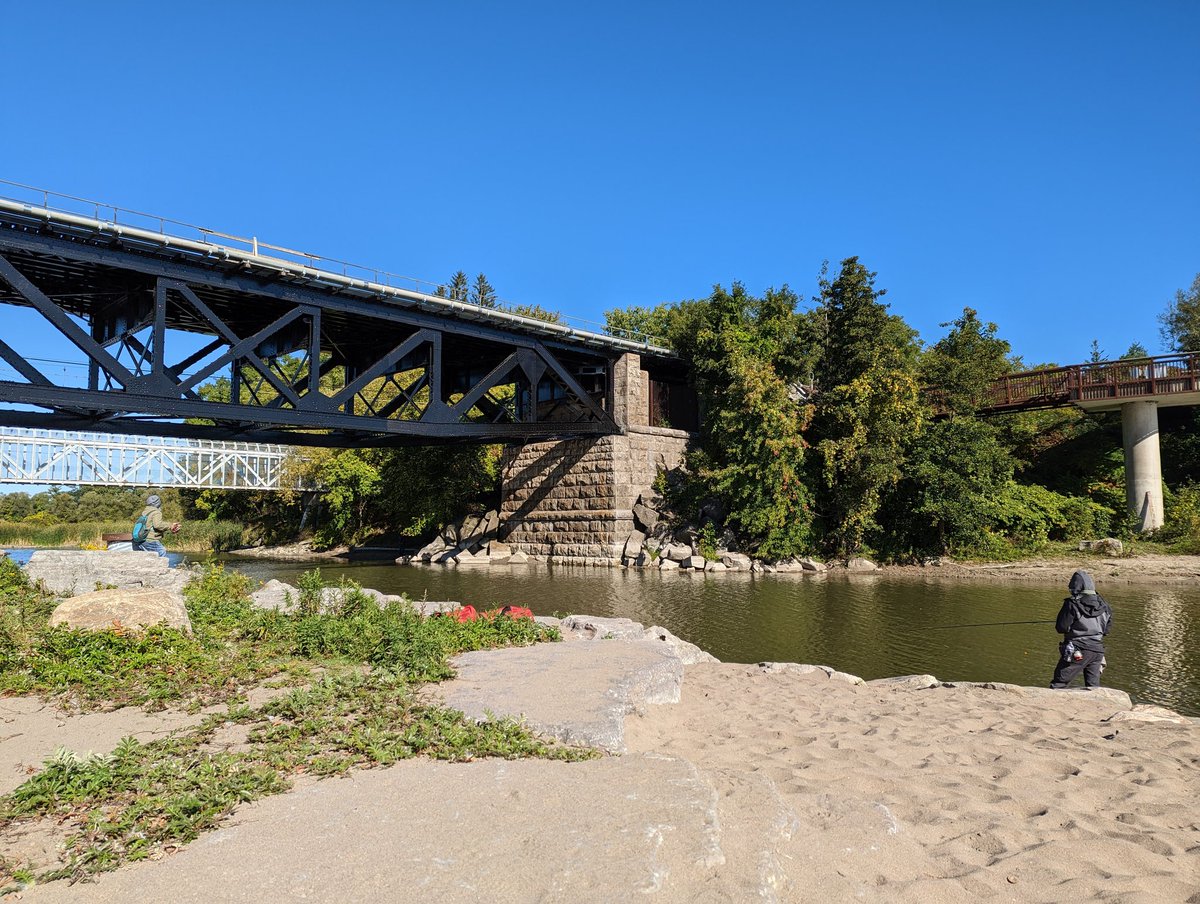
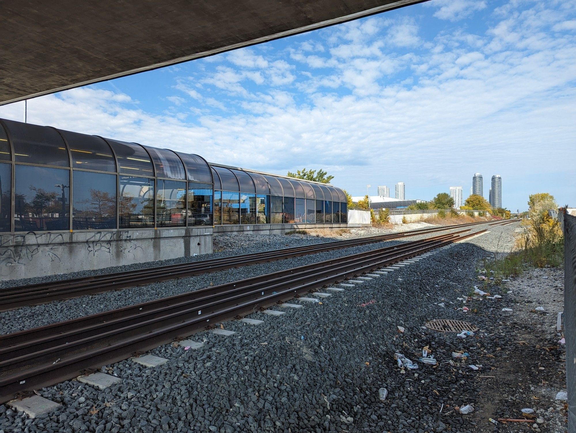
The Union Station Rail Corridor (USRC) is the corridor where many railway lines into Toronto merge into a single gauntlet flanking each side of Union Station. It is technically defined as starting at Strachan Avenue in the west, and ending at the Don River in the east.
The USRC includes two yards for GO Transit to store their trains after the morning weekday rush, so they are ready to go back into service for the evening rush. These yards are beside the Don River (the Don Yard) and between Spadina and Bathurst (North Bathurst Yard).


The USRC used to be part of larger rail yards and roundhouses south of Front Street. This land was converted as CN and CP abandoned these freight yards in favour of new ones, and the accompanying industrial and shipping businesses left.


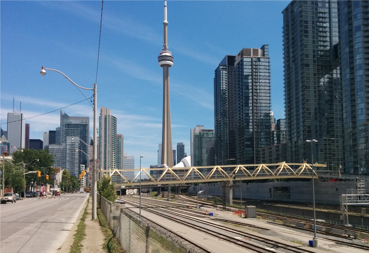
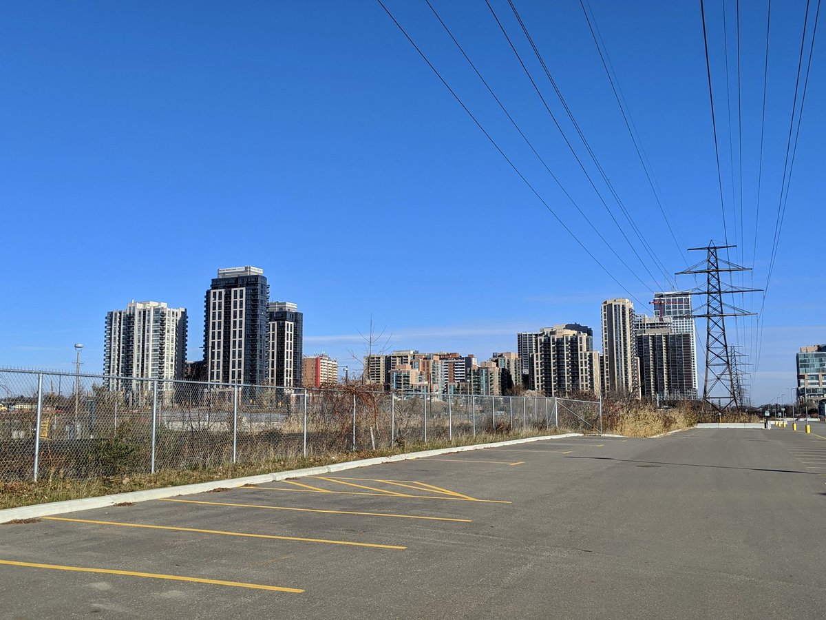
These former “Railway Lands” are now home to a number of landmarks, most notably the CN Tower. CN originally stood for “Canadian National”, referencing the railway that built it to improve communication signals, as well as demonstrate the strength of Canadian industry. Other places include the SkyDome (aka the Rogers Centre), the Air Canada Centre (now Scotiabank Arena), and numerous condos part of CityPlace and the Southcore District.
This development ate up much of the land formerly used by the freight railroads. What remains is still a very complex and busy area: 9 to 16 tracks totalling 40 kilometres of track, 8 diagonal crossing links (“ladders”), 250 switches and 80 signals. This immense piece of infrastructure moves a quarter of a million people in and out of Union Station daily, making it the busiest transportation hub in Canada, and therefore making the USRC the busiest national transportation corridor.
The importance of this corridor led Metrolinx to purchase it outright from TTR in 2000. While there’s only so much room to grow, Metrolinx has been undertaking a number of modernizations to signals and switches, and reconfiguring some tracks south and east of Union Station.


Note: Aerial images are courtesy of the City of Toronto, either via interactive map or the historic aerial photo collection. Other historical photos are courtesy of the city archives.
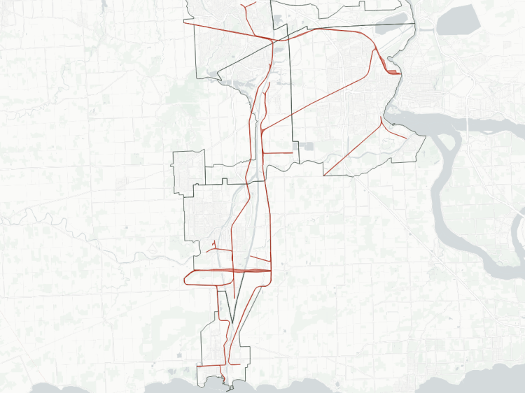
Oakville Subdivision
Area: 47.8 ha
Length: 13.3 km
Average Width: 36 m
Tracks: 3 – 4
Crossings:
Roads: 15
Expressways: 1
Watercourses: 3

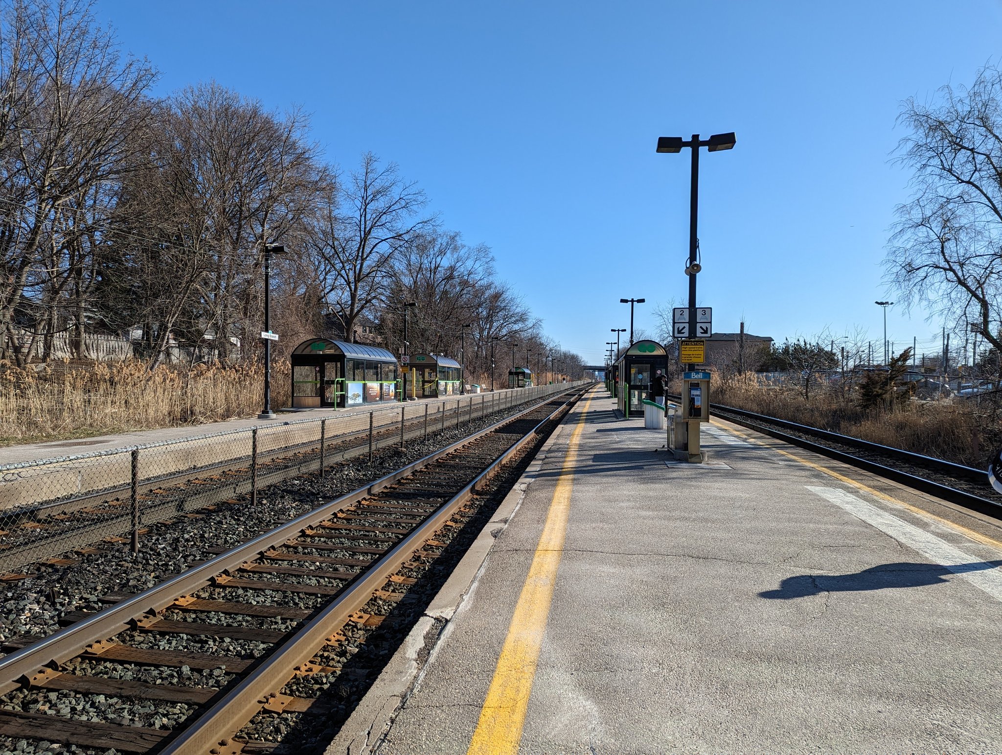
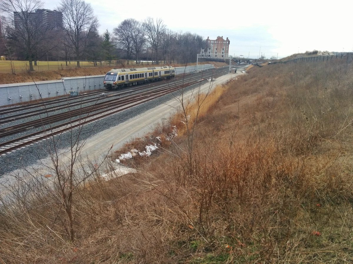
The Oakville subdivision connects to the USRC at Strachan Avenue, and heads southwest along the lakeshore to the city’s west border by Long Branch Station. The line was part of GO Transit’s original Lakeshore line when operations began in 1967. The corridor was originally owned by CN, and was purchased by Metrolinx in 2012.
The corridor carries GO Transit’s Lakeshore West line to Hamilton / Niagara, and VIA Rail’s Corridor services to London / Windsor (through Brantford), as well as VIA / Amtrak service to New York. The corridor also handles a lot of GO and VIA traffic going between Union Station and maintenance yards at Islington Avenue (Willowbrook Yard and the Toronto Maintenance Centre, respectively). So it’s fairly busy.
Check out Oakville Sub (Toronto) for more pictures and descriptions


Galt Subdivision
Area: 30.7 ha
Length: 11.4 km
Average Width: 27 m
Tracks: 2 – 3
Crossings:
Roads: 13
Expressways: 2
Watercourses: 2
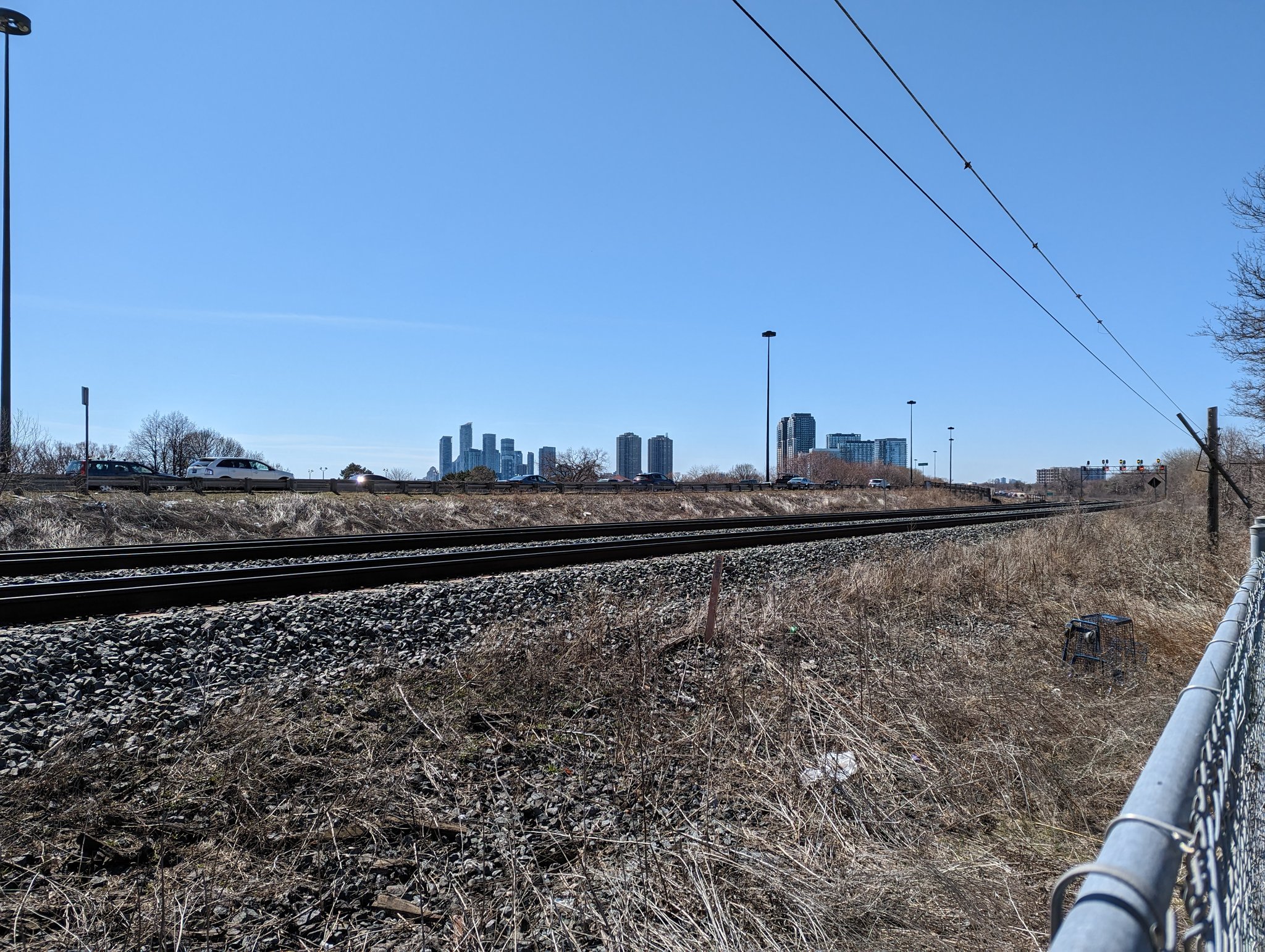
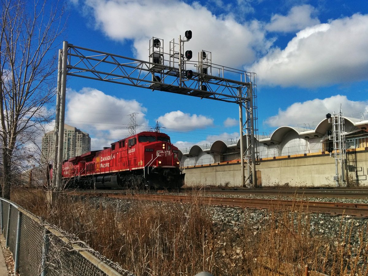
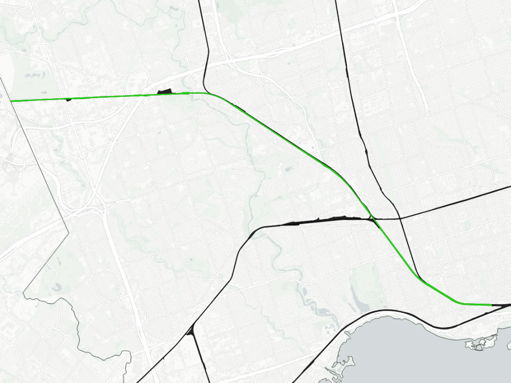
The Galt Subdivision is part of CPKC’s main east-west route across southern Ontario. The sub enters Toronto where it crosses Etobicoke Creek north of the Queensway. It then makes a large arc until meeting the Weston, MacTier and North Toronto subs at West Toronto Junction.
CP operated passenger trains along the line until 1971. However, unlike some other parts of the country, this service was not restored by VIA Rail Canada. GO Transit began offering train service in 1981.
The Galt Sub used to parallel the Weston Sub to Union Station, but this ‘Lower Galt’ was merged with the Weston Sub after upgrades for the Union Pearson Express. The remaining corridor is completely owned by CPKC, and is around 3 tracks wide to carry freight and rush hour GO trains. It also runs adjacent to CPKC’s West Toronto / Lambton Yard, which stretches from West Toronto Junction to Scarlett Road, and also meets the Canpa Sub in Etobicoke.


Weston Subdivision
Area: 67.1 ha
Length: 19.2 km
Average Width: 35 m
Tracks: 4 – 8
Crossings:
Roads: 26
Railways: 2
Expressways: 2
Watercourses: 2
The Weston Sub connects to the USRC at Strachan Avenue, immediately north of where it connects to the Oakville Sub, and heads northwest to Highway 427 north of Pearson Airport.
This was one of the earliest corridors into Toronto, dating back to 1856. It was CN’s main east-west connection through Toronto until 1965, when the Halton and York Subs were built north of the city to connect to a new massive yard in Vaughan. Dwindling freight traffic through the downtown paved the way for GO Transit to open its then Georgetown Line in 1974, making the third of GO’s lines today.
The corridor is 4 tracks wide to carry the now-Kitchener line, as well as the Union Pearson Express. It widens to 5 tracks south of Dupont to carry GO Milton line trains, and 6 tracks east of Lansdowne to carry GO Barrie line trains. Future expansions will see these segments widened to 7 and 8 tracks, respectively. VIA Rail Corridor services to London / Windsor (through Guelph and Kitchener) also find space on here.


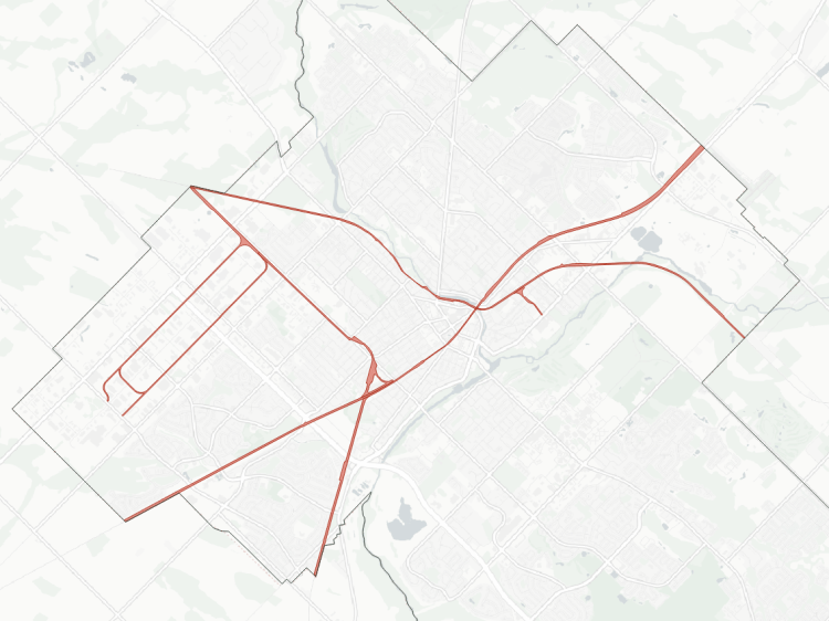
MacTier Subdivision
Area: 35.3 ha
Length: 15.5 km
Average Width: 23 m
Tracks: 1
Crossings:
Roads: 18
Expressways: 1
Watercourses: 3
The MacTier Sub is CPKC’s main route to and from northern Ontario, and eventually western Canada. From West Toronto Junction, it parallels the Weston Sub until Weston Road, where it splits and heads due north to the city limits at Steeles. It is a single track, and carries CPKC’s freight only. It interconnects with the Weston Sub at Rogers Road. Like the Weston sub, some at-grade crossings were eliminated as part of upgrades for the Union Pearson Express. Old Weston Road is a notable crossing that remains at-grade, as it has to fly over the Weston sub.

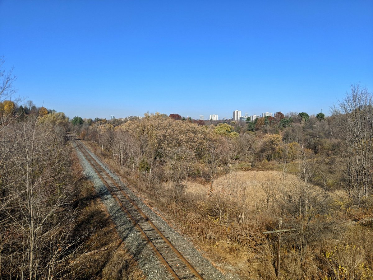
North Toronto / Belleville & Havelock Subdivisions
Area: 109.4 ha | 13.3 ha
Length: 32.6 km | 5.4 km
Avg. Width: 34 m | 25 m
Tracks: 1 – 2 | 1
Crossings:
Roads: 41 | 6
Railways: 4 | 0
Watercourse: 12 | 3

The North Toronto Sub (from West Toronto Junction to just east of Bayview Avenue) and the Belleville Sub (from Bayview to the east city limit) are basically an extension of the Galt Sub, CPKC’s main east-west route across southern Ontario. This also takes CPKC trains to and from its Toronto Yard in Agincourt, between McCowan and Markham Roads, south of Finch Avenue. This yard stretches over 2 kilometers long and nearly 1 kilometre wide.
From the yard, the Havelock sub splits off and heads northeast to the city limit, carrying little freight as it leads to Havelock (east of Peterborough) and goes no further. However, this line has a future as part of VIA Rail’s future High Frequency Rail corridor to Ottawa and Montreal.
There is an interconnecting between the Belleville and Havelock subs northeast of the yard. The North Toronto and Belleville subs are two tracks west of the yard, and the Belleville and Havelock are a single track east of the yard.
Check out CP Midtown for more pictures and descriptions


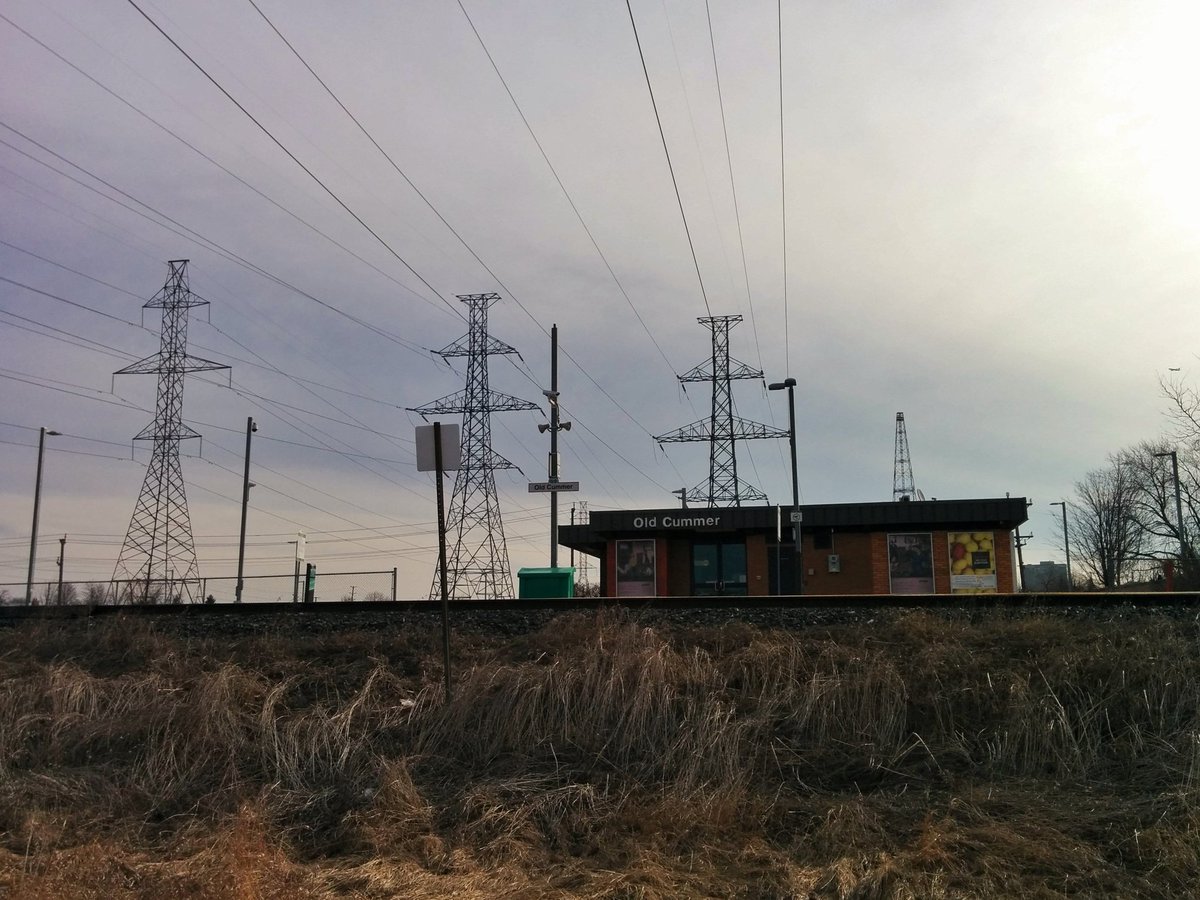
Newmarket Subdivision
Area: 37.4 ha
Length: 15.9 km
Average Width: 24 m
Tracks: 1
Crossings:
Roads: 16
Railways: 1
Expressways: 1
Watercourses: 3
The Newmarket Sub is the modern incarnation of what was Toronto’s first railway. The Ontario, Simcoe & Huron Railway officially opened between here and Machell’s Corners (known today as Aurora) in May 1853.
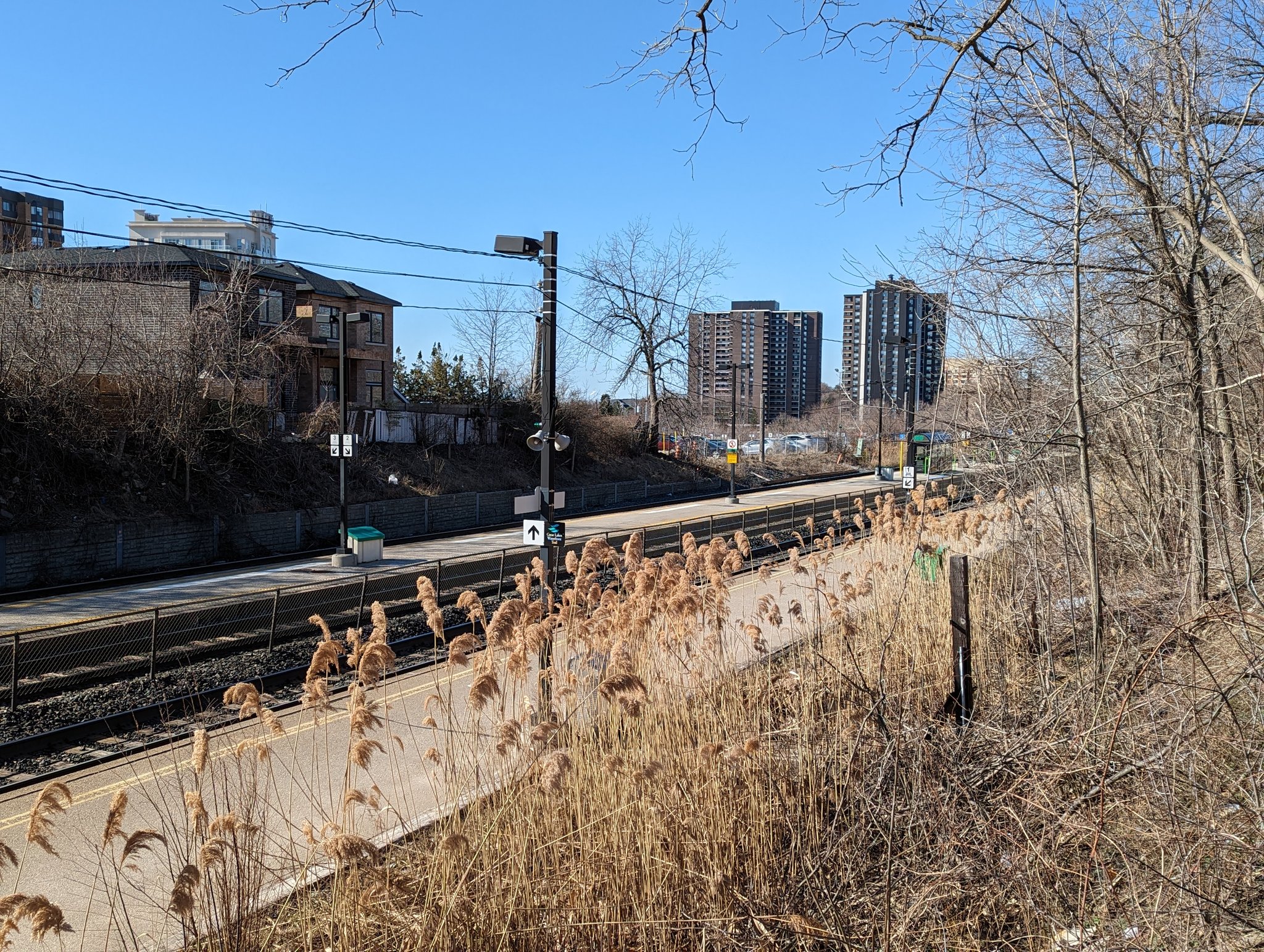
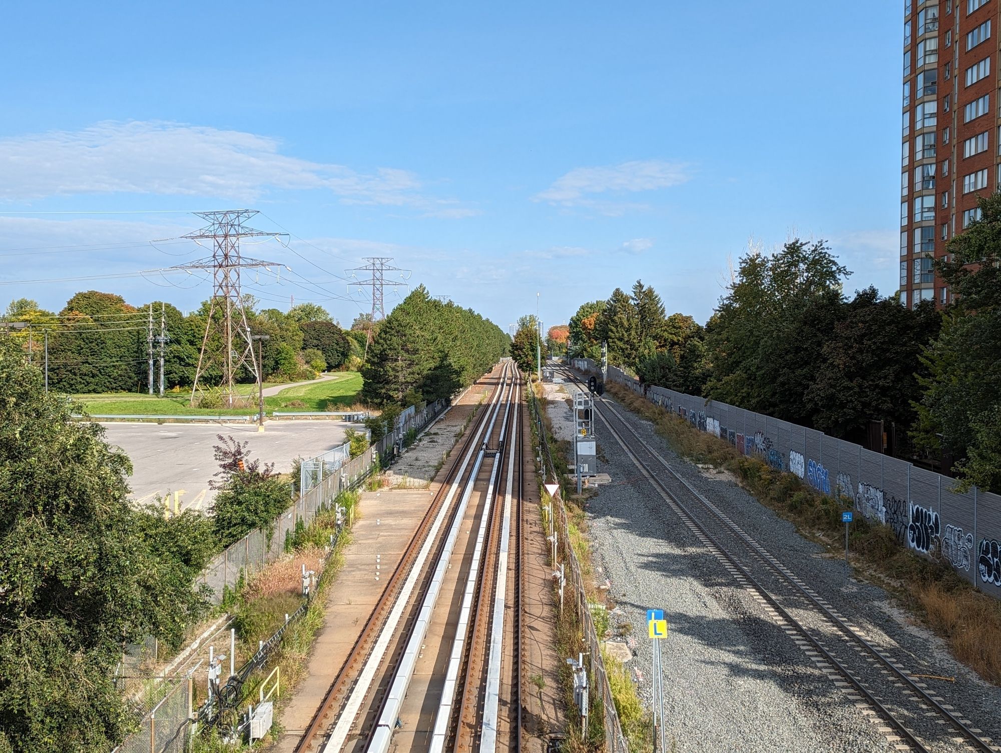
It is now more commonly known as GO Transit’s Barrie Line, which began service in 1982. It splits off from the Weston Sub east of Lansdowne, and heads due north to the city limit. It has long been a single track shot with occasional passing tracks, but is being widened and improved to two dedicated tracks to allow two-way all-day GO service.
Major upgrades to this line were completed in 2023, when the line was elevated on a guideway over CPKC’s North Toronto Sub. This is part of a broader project that will open up a great deal of opportunity for public space under and parallel to it.


Bala Subdivision and
Don Branch
Area: 67.3 ha | 13.8 ha
Length: 21.1 km | 3.8 km
Average Width: 32 m | 36 m
Tracks: 1 – 2
Crossings:
Roads: 17
Highways: 3
Water: 16

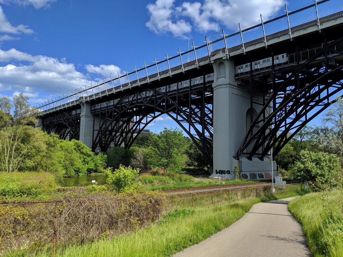
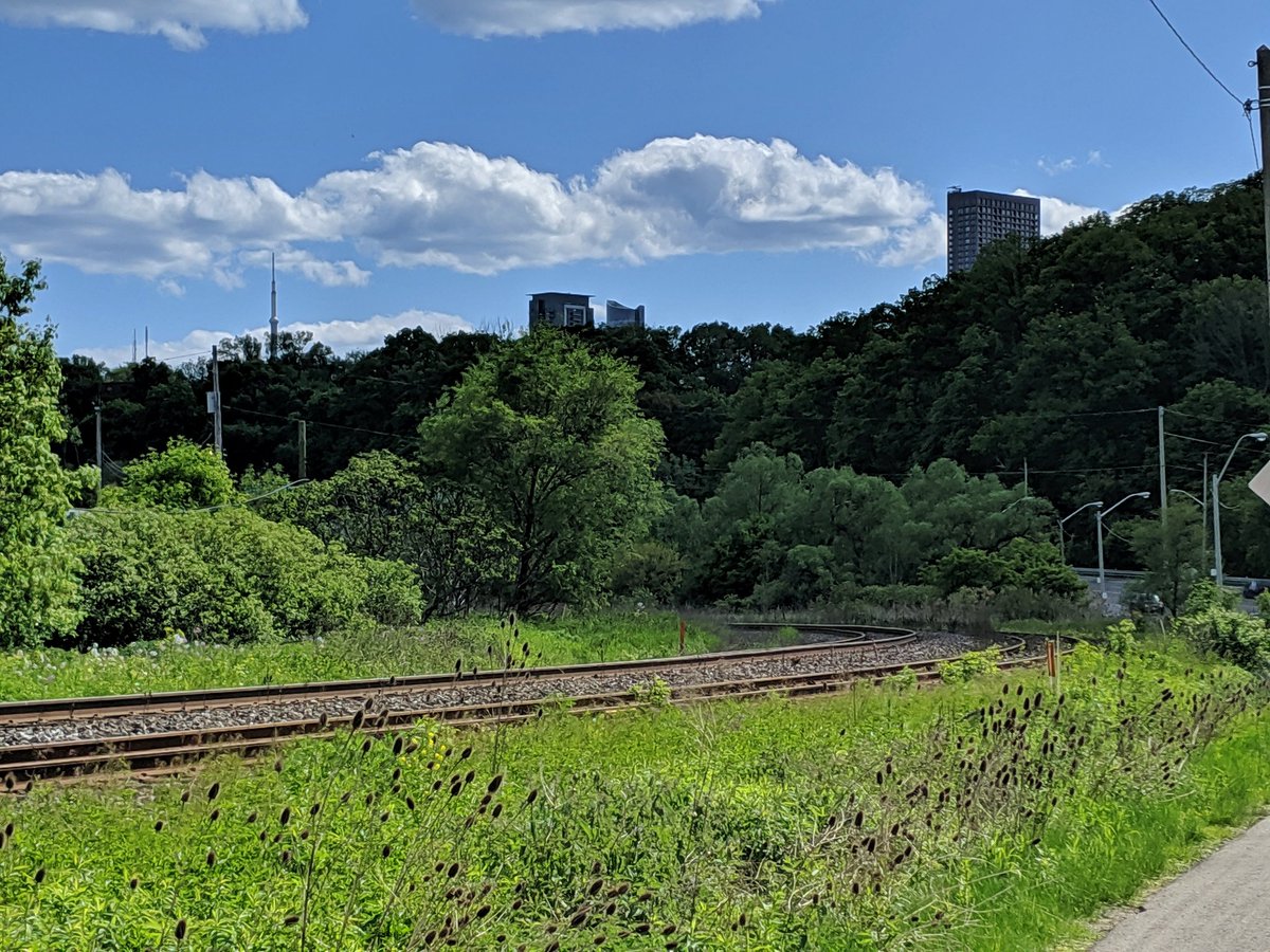
The Bala Sub was CN’s main route from downtown Toronto to Northern Ontario until the 1965 opening of the Halton and York subdivisions. Within Toronto, the line no longer served CN’s purposes, which paved the way for GO to start service on the line in 1978, and Metrolinx purchasing that segment of the line in 2012. Despite that, the Richmond Hill line has the lowest ridership and fewest stations in the network. One significant factor is that the line winds through the Don Valley between Union and Lawrence Avenue; it makes for a beautiful ride, but poor ability to serve commuters.
The Don Branch was technically the western end of the Belleville Sub, connecting CP trains to industry in the downtown core. It has since been purchased by Metrolinx for potential passenger train use in the future. It may also carry VIA trains as part of the High Frequency Rail route.


Kingston Subdivision
Area: 99.7 ha
Length: 25.8 km
Average Width: 39 m
Tracks: 3
Crossings:
Roads: 28
Expressways: 1
Watercourses: 14
The Kingston Sub is also steeped in history, acting as CN’s main route from downtown Toronto to, you guessed it, Kingston. From there, lines lead onto Ottawa and Montreal, making it part of the network that stitched the nation together. Like the Bala and Weston Subs, the portion of the line in Toronto no longer served CN’s purposes after the 1965 opening of the Halton and York subdivisions. And like the Oakville sub, it was part of GO’s inaugural service in 1967, and came under formal Metrolinx ownership in 2011.
Now void of freight traffic, it is busy with GO Lakeshore East trains to/from Oshawa, and VIA Corridor trains to/from Ottawa and Montreal. Much like the Oakville subdivision, it is also busy with GO trains deadheading between Union Station and a maintenance facility.
Check out Kingston Sub for more pictures and descriptions


Uxbridge Subdivision
Area: 21.8 ha
Length: 12.4 km
Average Width: 18 m
Tracks: 2
Crossings:
Roads: 12
Railways: 1
Expressways: 1
Watercourses: 4

The Uxbridge sub branches off of the Kingston sub near Midland Avenue and St Clair Avenue East. After performing an S-bend, it goes straight north to the city limits.
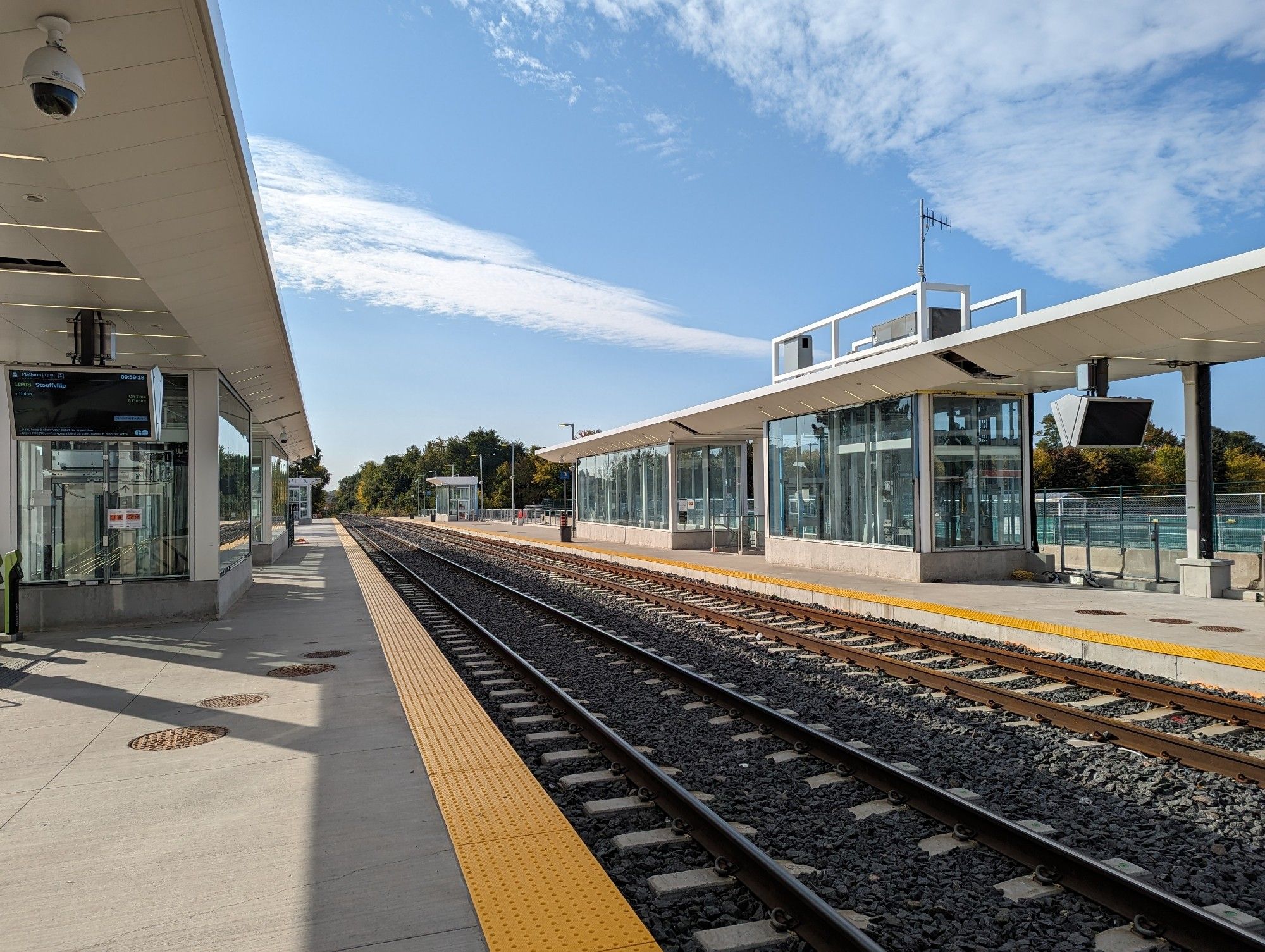
Once part of the Toronto and Nipissing rail line built in the late 1860’s, it became part of GTR and subsequently CN at the turn of the century. With dwindling freight traffic, northern parts of the original Toronto and Nipissing line were eventually abandoned. GO Transit service along the Stouffville Line started in 1982, and the entire remaining line between Toronto and Uxbridge was purchased by the Ontario government in 2001. The section north of Stouffville is leased to the York-Durham Heritage Railway.
Much of the historical info is courtesy of the York-Durham Heritage Railway.
Check out Stouffville Line / Scarborough RT as well as the tail
end of Kingston Sub for more pictures and descriptions


Canpa Subdivision
Area: 16.0 ha
Length: 4.0 km
Average Width: 40 m
Tracks: 2
Crossings:
Roads: 4
Expressways: 1
The Canpa sub is a small connecting track between CN and CPKC subs, allowing for interconnections between the two freight companies. For some time, the Canpa was notable for a) serving local business spurs, b) an intermodal yard north of North Queen Street, and c) deliveries of new GO coaches from Thunder Bay. But in 2012, the intermodal yard was shut down. In 2015, it was purchased by Metrolinx despite not being part of their current or future regular service. Rather, it was used as a detour for Lakeshore West trains for various work on the Oakville sub between Union and Mimico. As of late 2023 is reportedly earmarked as a home for additional track maintenance vehicles and materials.
Halton / York Subdivisions
Area: 40.9 ha
Length: 9.1 km
Average Width: 45 m
Tracks: 1
Crossings:
Roads: 8
Expressways: 1
Railways: 1
Watercourses: 2

Strictly within the City of Toronto borders, the Halton and York subs are a small footnote in their physical footprints, sweeping through northwest Etobicoke and Rouge Park. However, as noted in the sections above, they are part of CN’s bypass of downtown Toronto that has allowed for the takeover and expansion of the Oakville, Weston, Bala and Kingston subs for GO service.

Crossing the Line
An extension of this project, I broke down the longest stretches of railways (and highways) that present a barrier to active transportation.
Notes / Disclaimers
- This data was drawn interpretively, using the Railway Association of Canada’s Canadian Rail Atlas as a general reference. Some interpretive refinements were made, and the exact extent of railway property may not be correct. Therefore this data is provided ‘as is’; please refer to additional disclaimers at the Open Data page.
- While this website advocates for greater active transportation access across and parallel to railways, they are private property and are dangerous places. DO NOT trespass on railways; over 100 Canadians are killed or seriously injured trespassing on or crossing railways each year. Remember that train time is anytime.

This dataset is available in multiple formats through the Open Data Portal