Railways have been major arteries feeding the heart of Hamilton’s economy. They were pivotal in the city’s history, defining the industries and work that located here, and the struggle of how we plan infrastructure and communities.
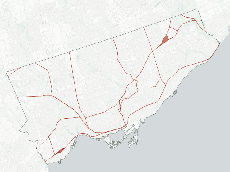
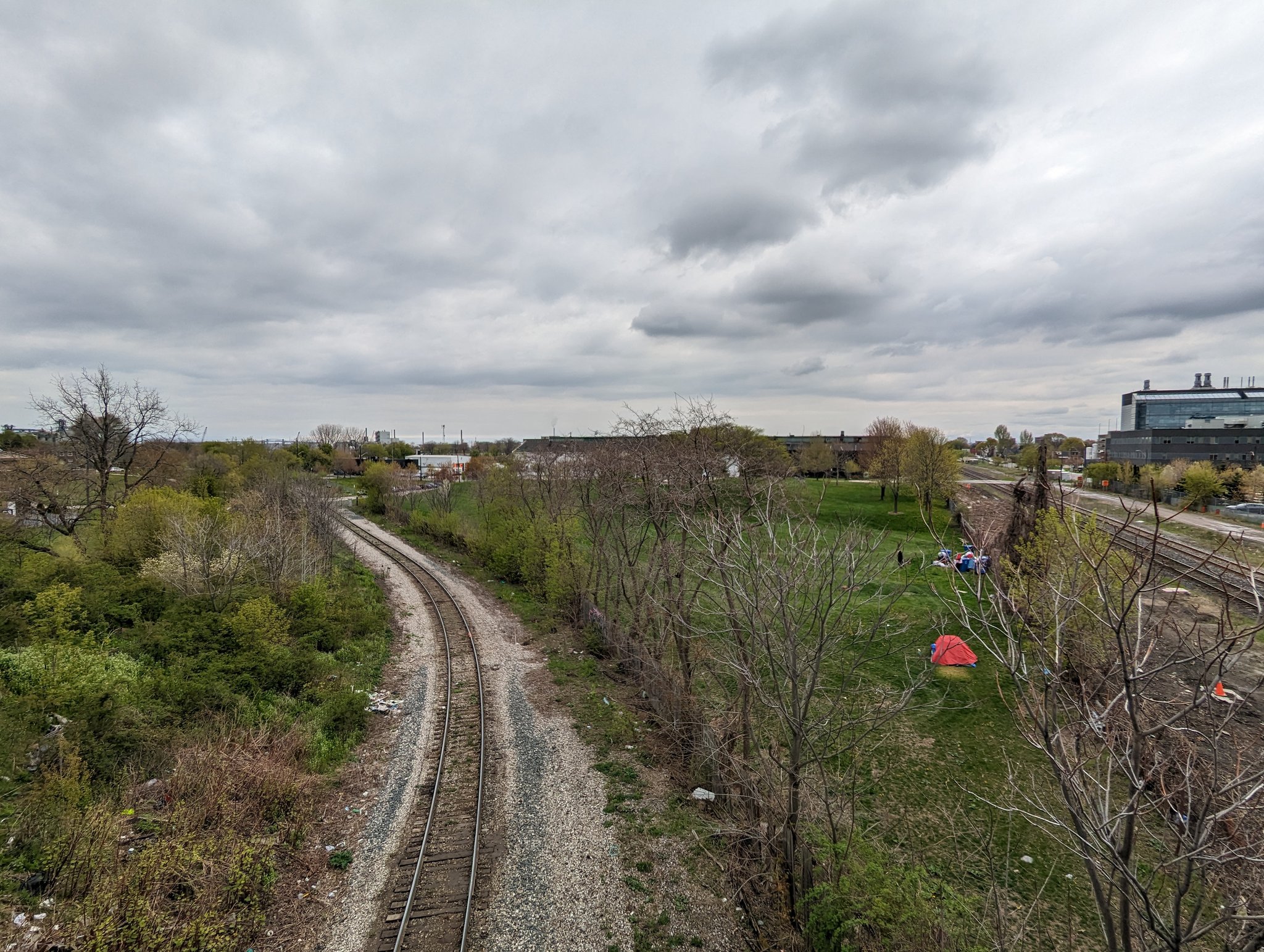
I started a similar project in Toronto to look at a common issue that often gets overlooked: how they are long, restricted corridors that cut off access across, over or under them for large distances. This creates increased travel times for pedestrians and cyclists. Improved access across these corridors, and even parallel to them, can improve the city’s broader active transportation network. Furthermore, they often sever natural and open spaces in a similar manner, making it a double whammy on the public realm.
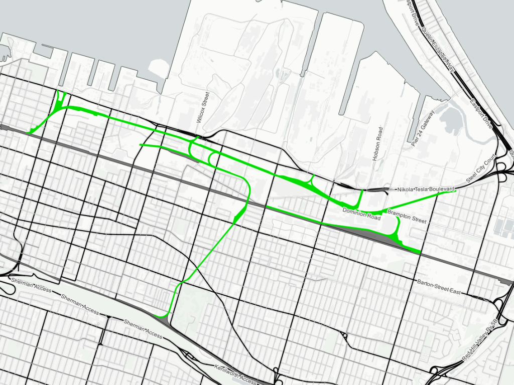
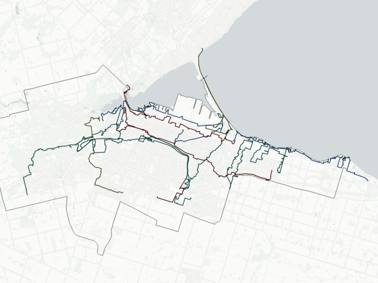
Check out the specific corridors, stats and an interactive map below.
- Dundas Subdivision
- Oakville / Grimsby Subdivision
- Hamilton Subdivision
- Waterford Spur / Aberdeen Yard
- N&NW / Gage Spurs
- Notes / Disclaimers
- Explore Railways in Other Cities
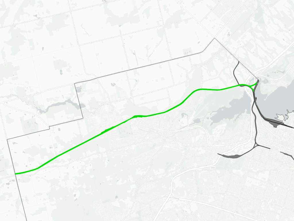
Dundas Subdivision
| Area | 75.3 ha |
| Length | 15.3 km |
| Average Width | 49 m |
| Tracks | 2 |
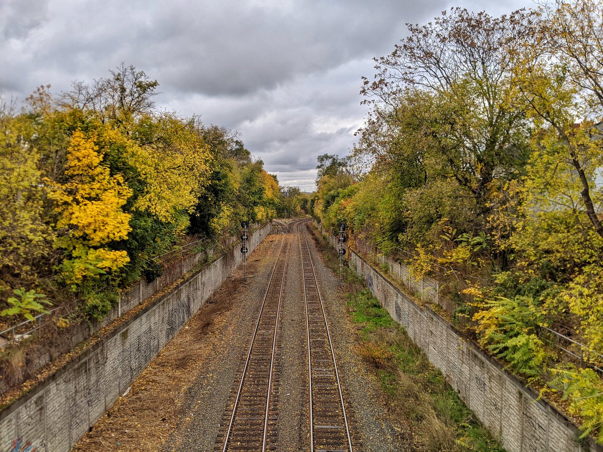
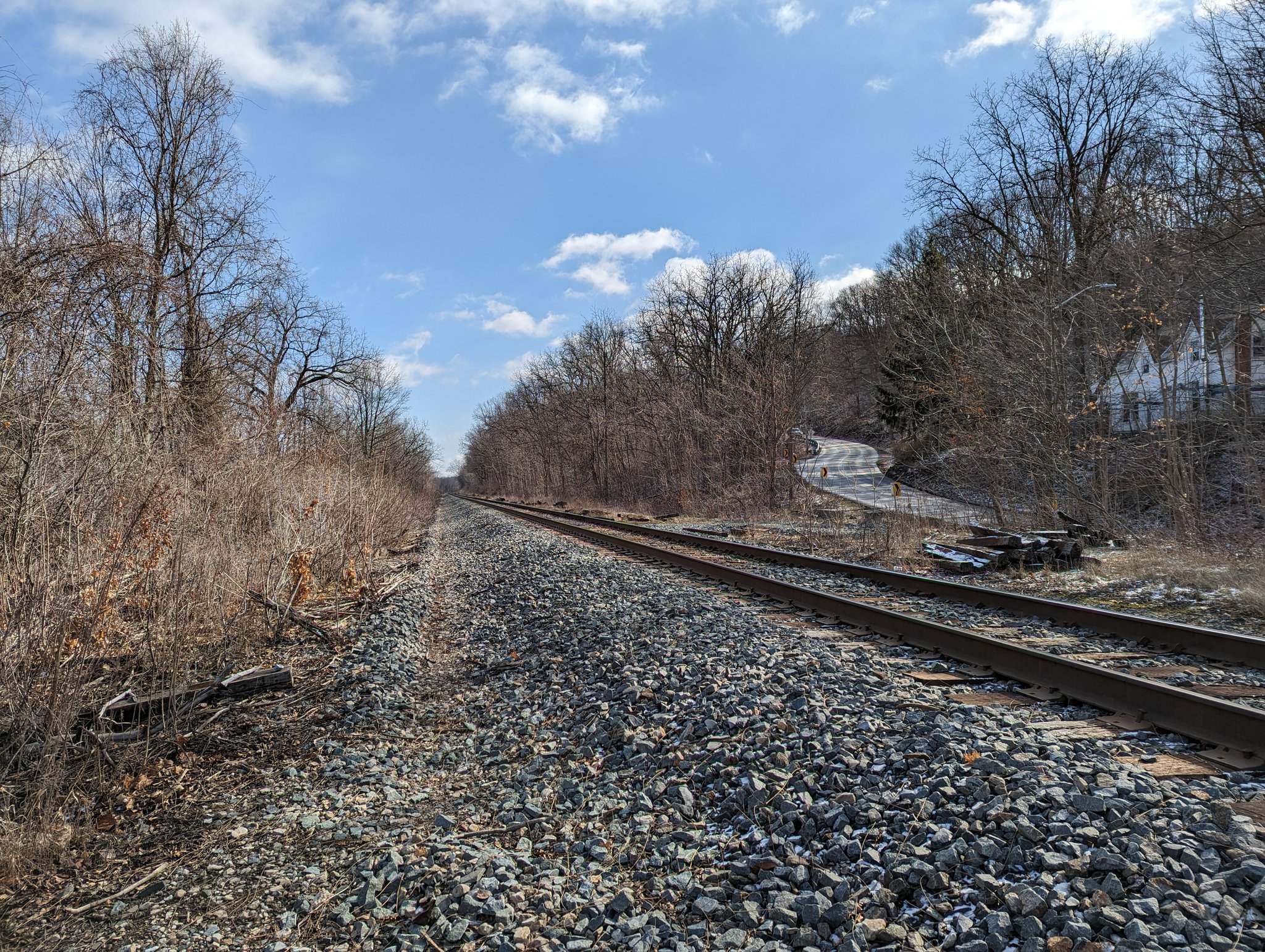
The Dundas Subdivision is named for the nearby former town of Dundas. Built in December 1853 by the Great Western Railway, this served as an artery between Toronto, Brantford, London, Windsor and Chicago. A station also used to sit where Highway 8 sailed underneath it from the town centre, serving passengers until the late 1970s.
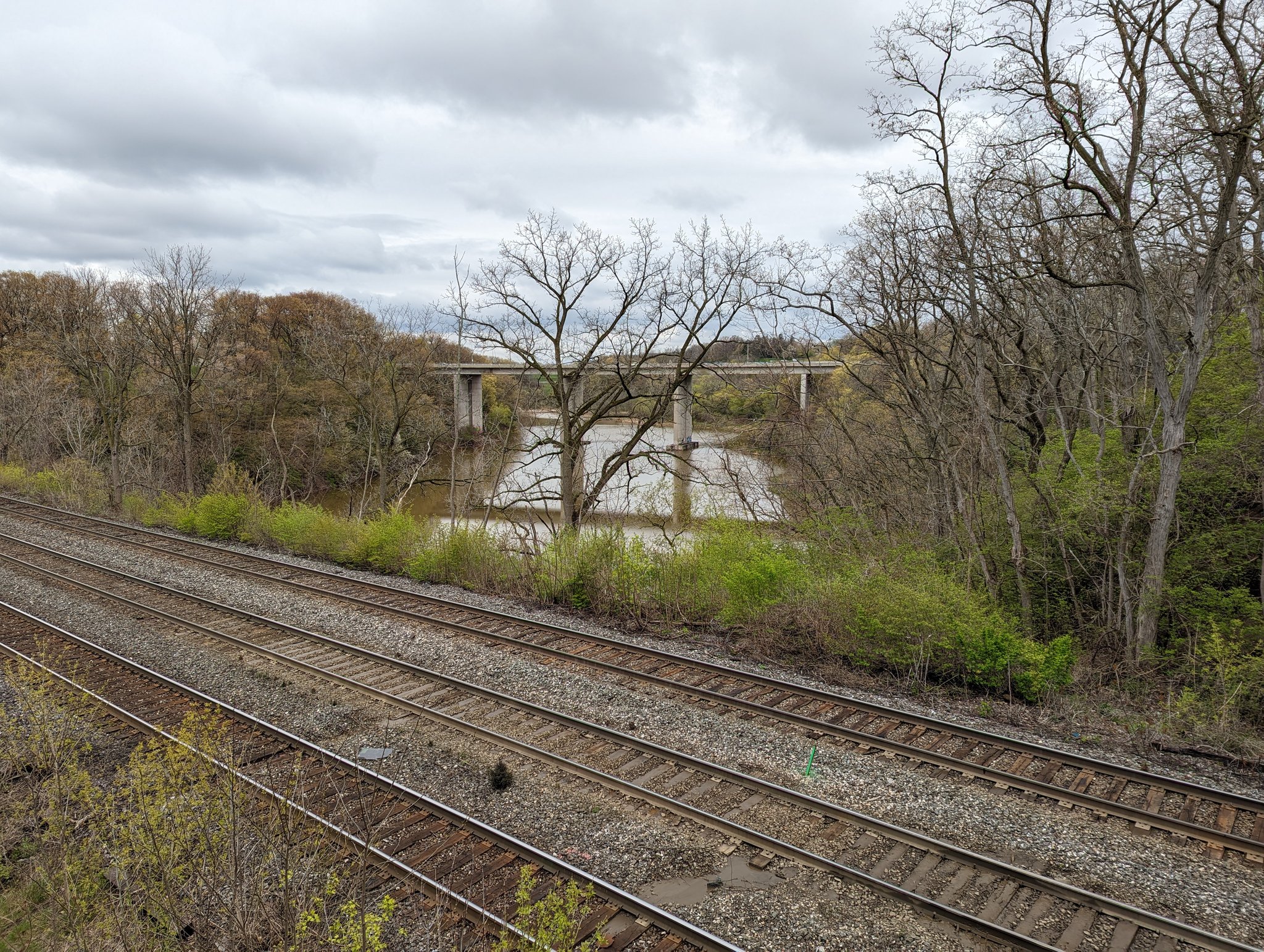
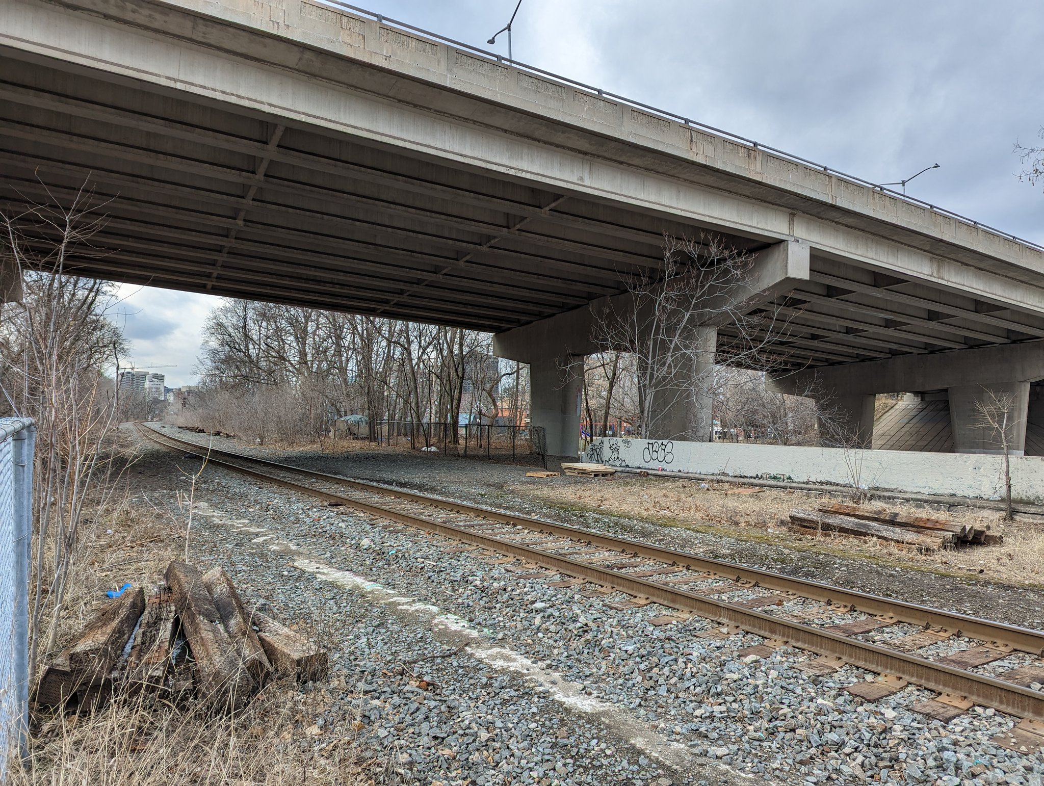
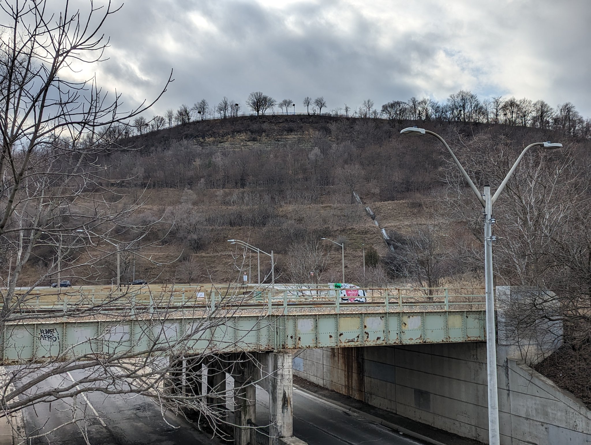
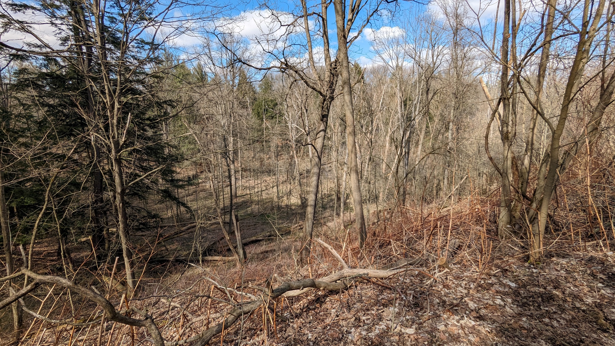
The most notable thing about this corridor is its necessary climb up and down the Escarpment. You can watch Canadian National (CN) and VIA trains roar out of the valley from Dundas peak, fighting a climb of 125 metres from the 403 to the top of the escarpment. It’s only a 1% grade, but it’s a lot for a heavy train over 15 kilometres.
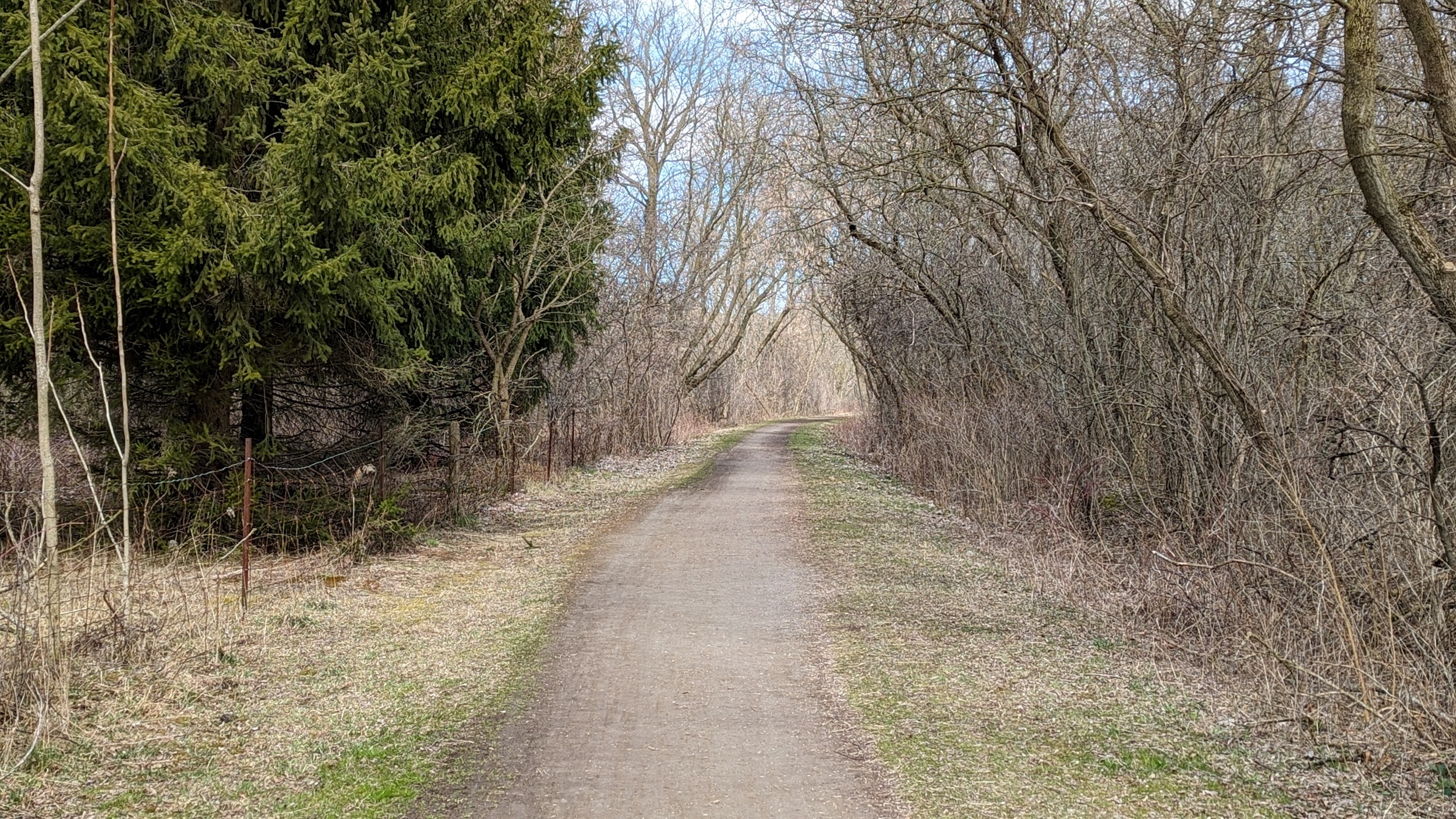
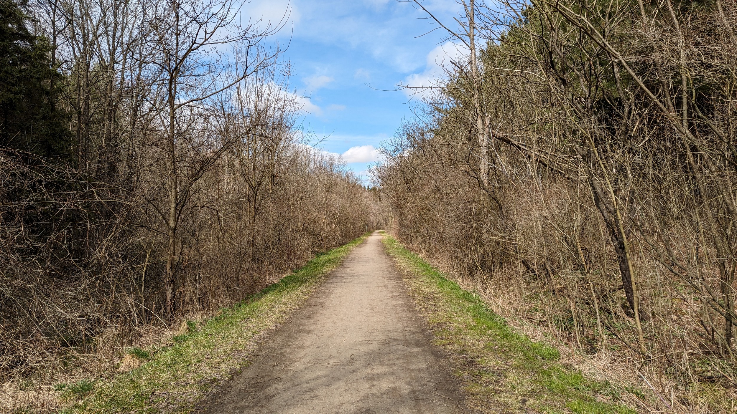
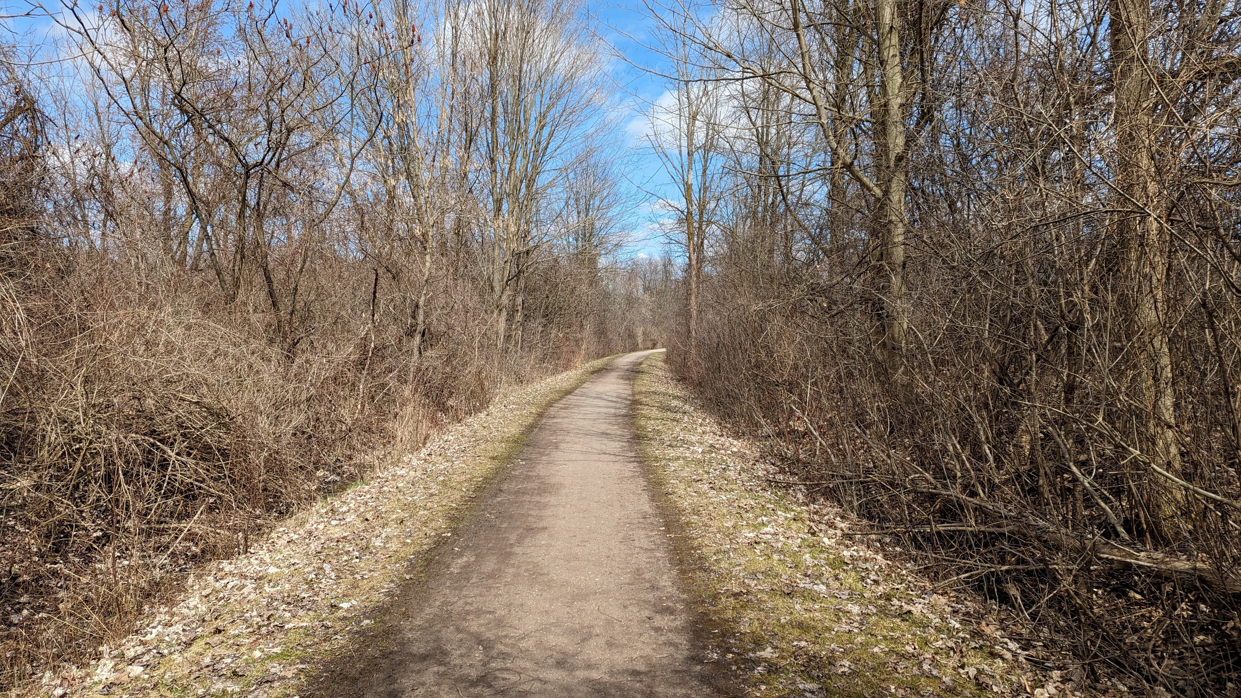
The Bruce Trail and other trails parallel much of the corridor, with the most notable gap existing between Weirs Lane and the Hamilton-Brantford Rail Trail.
Oakville / Grimsby Subdivision
| Area | 79.7 ha |
| Length | 24.1 km |
| Average Width | 33 m |
| Tracks | 2 |
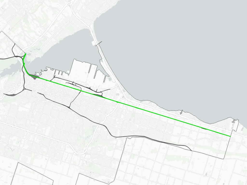
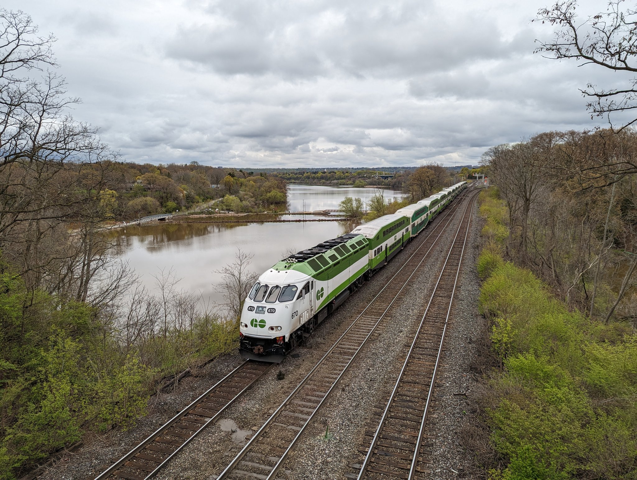
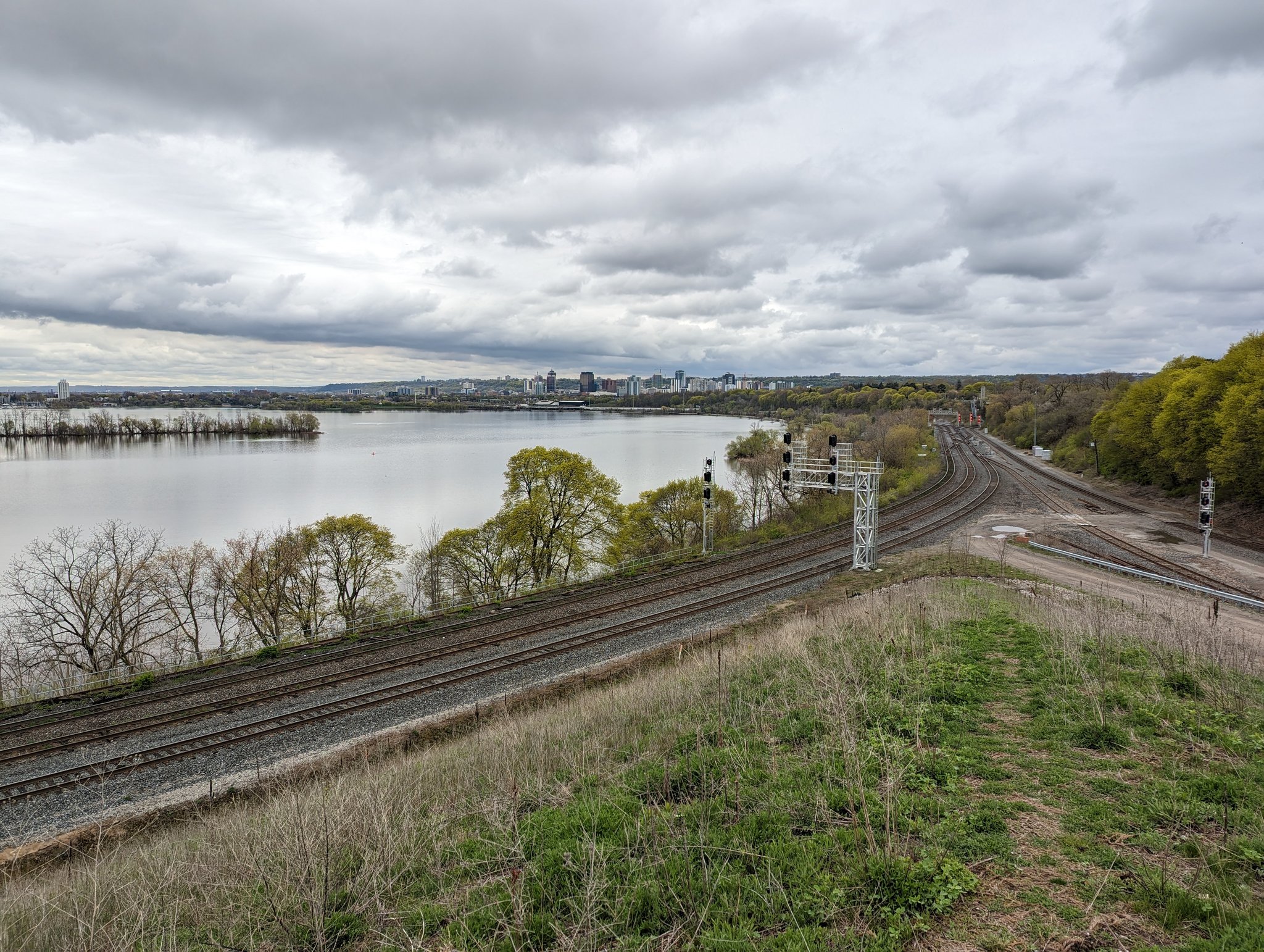
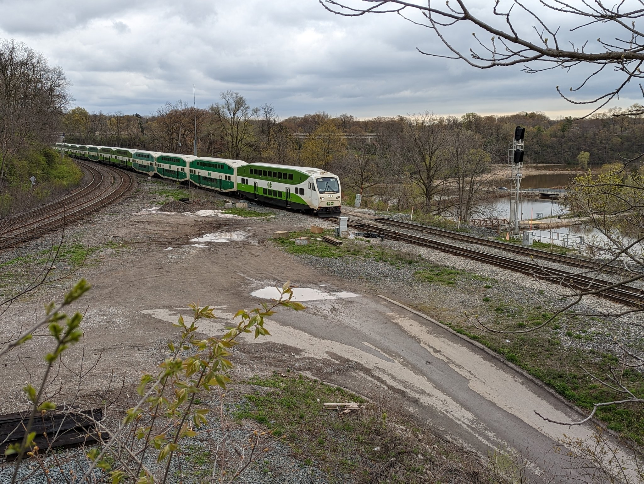
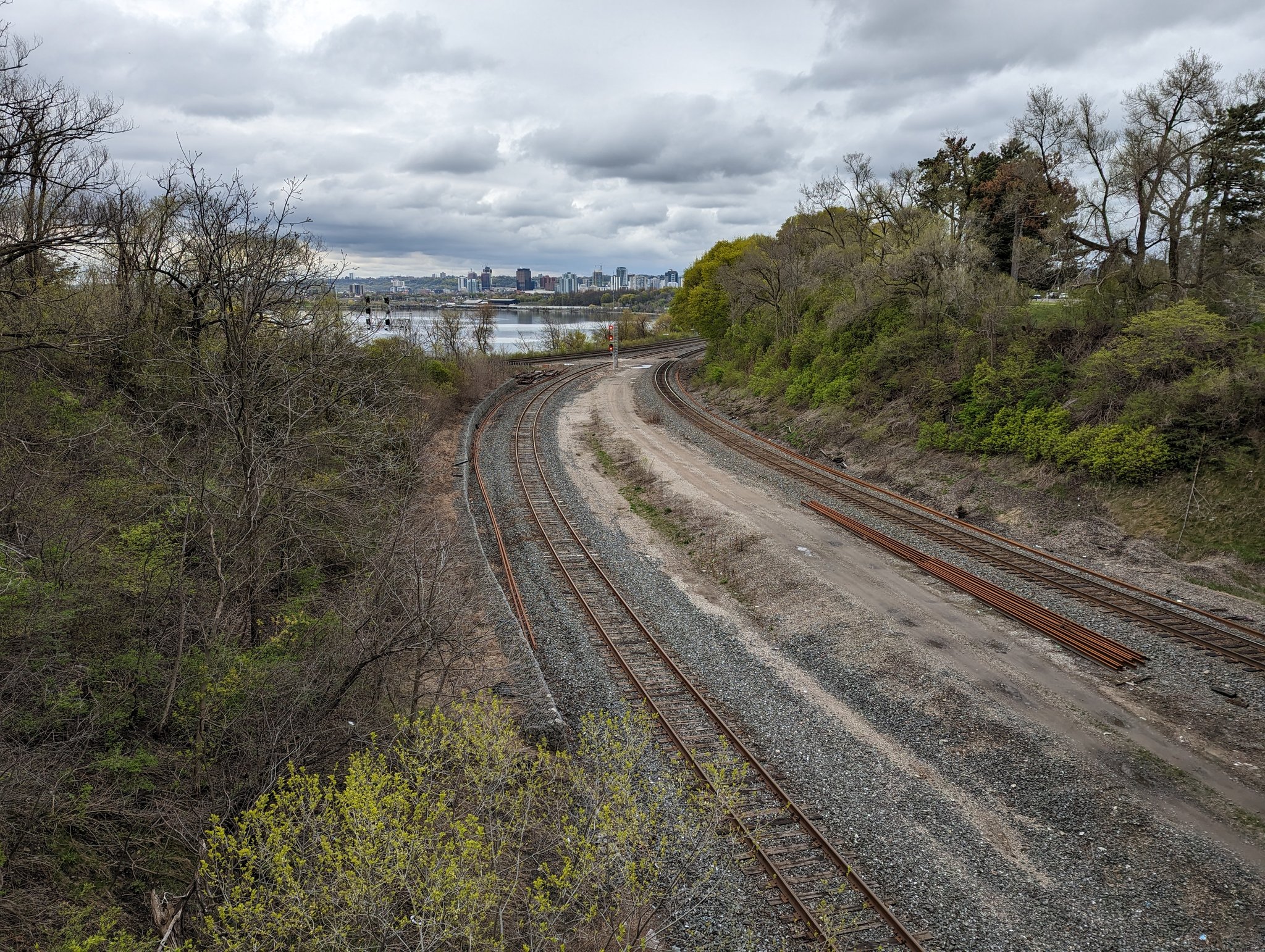
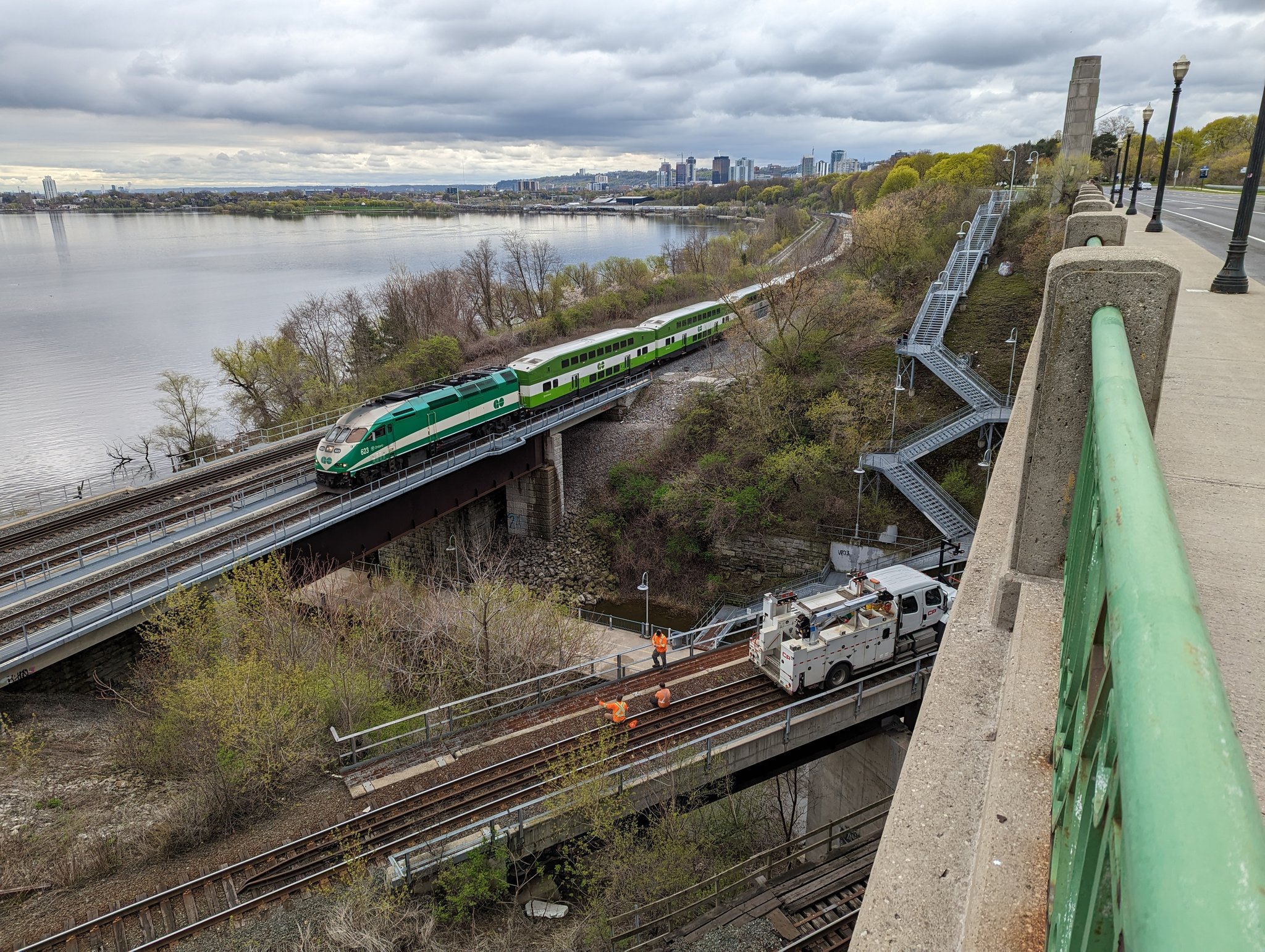
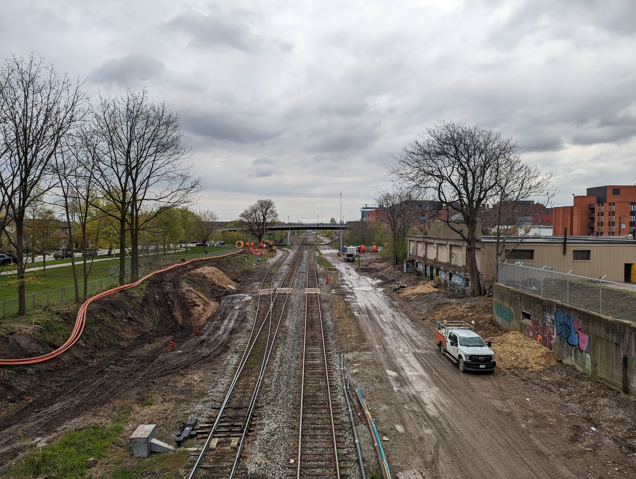
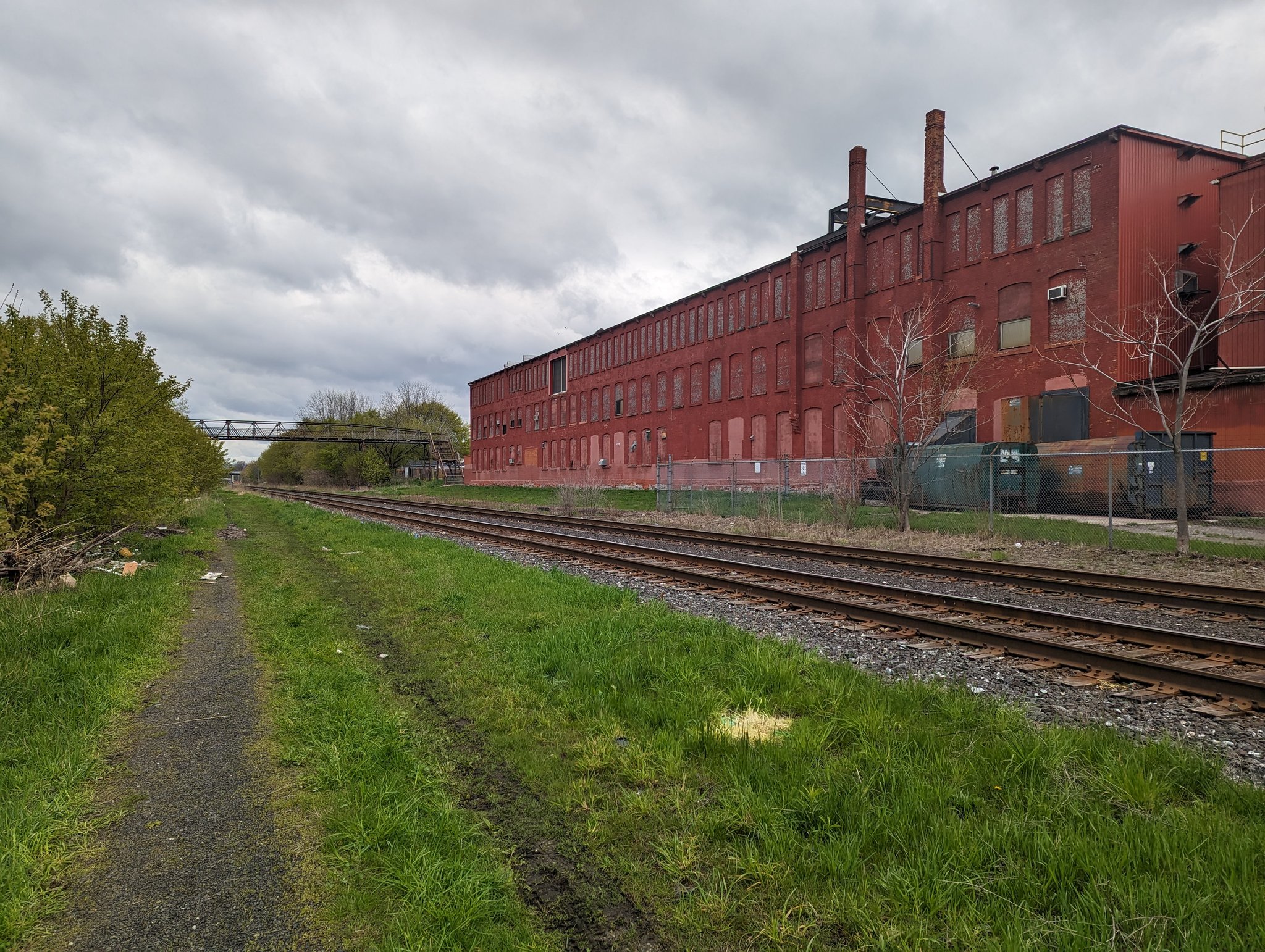
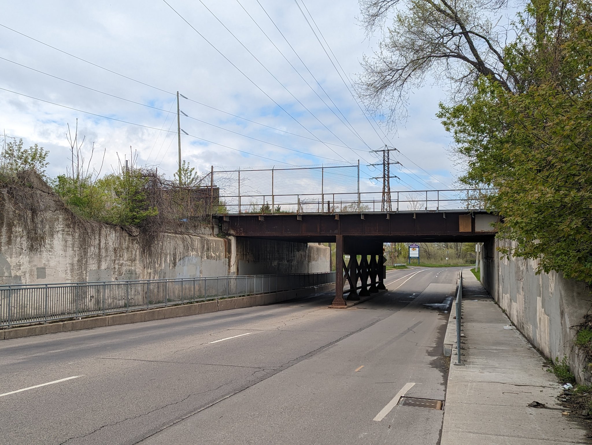
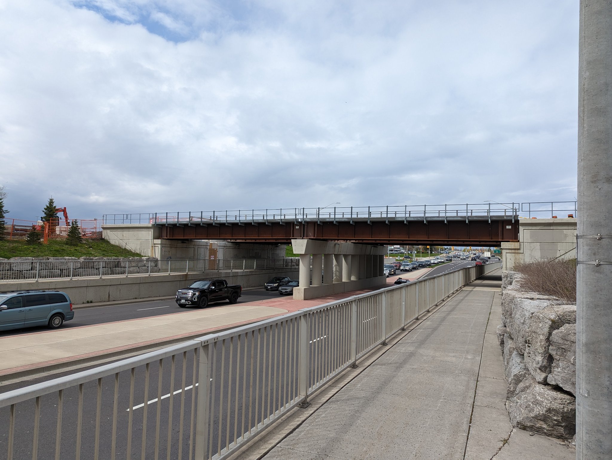
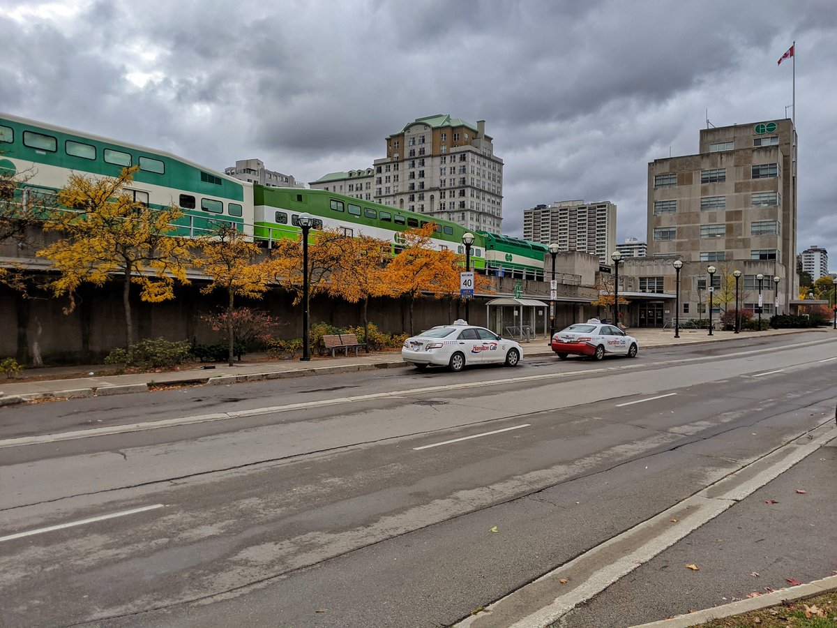
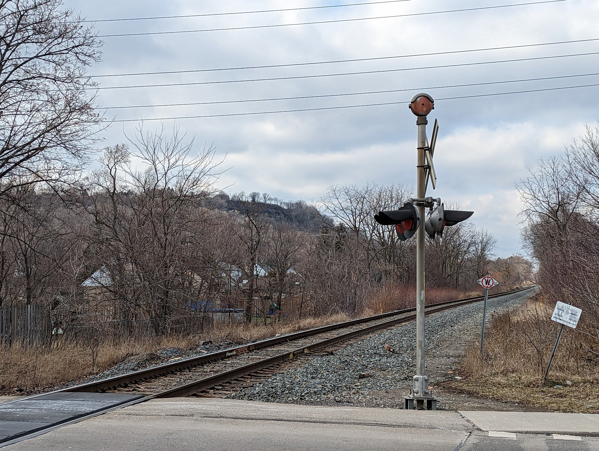
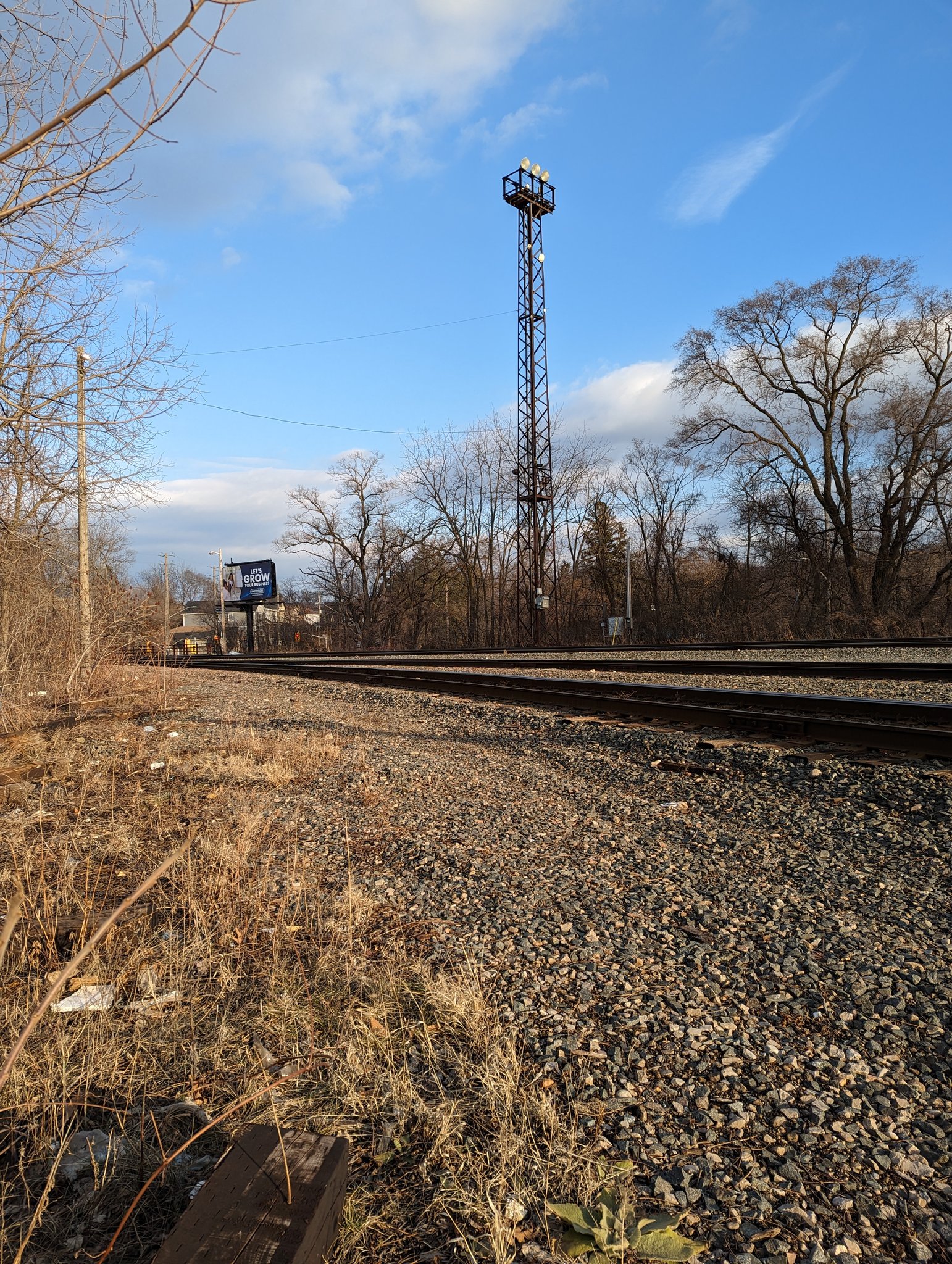
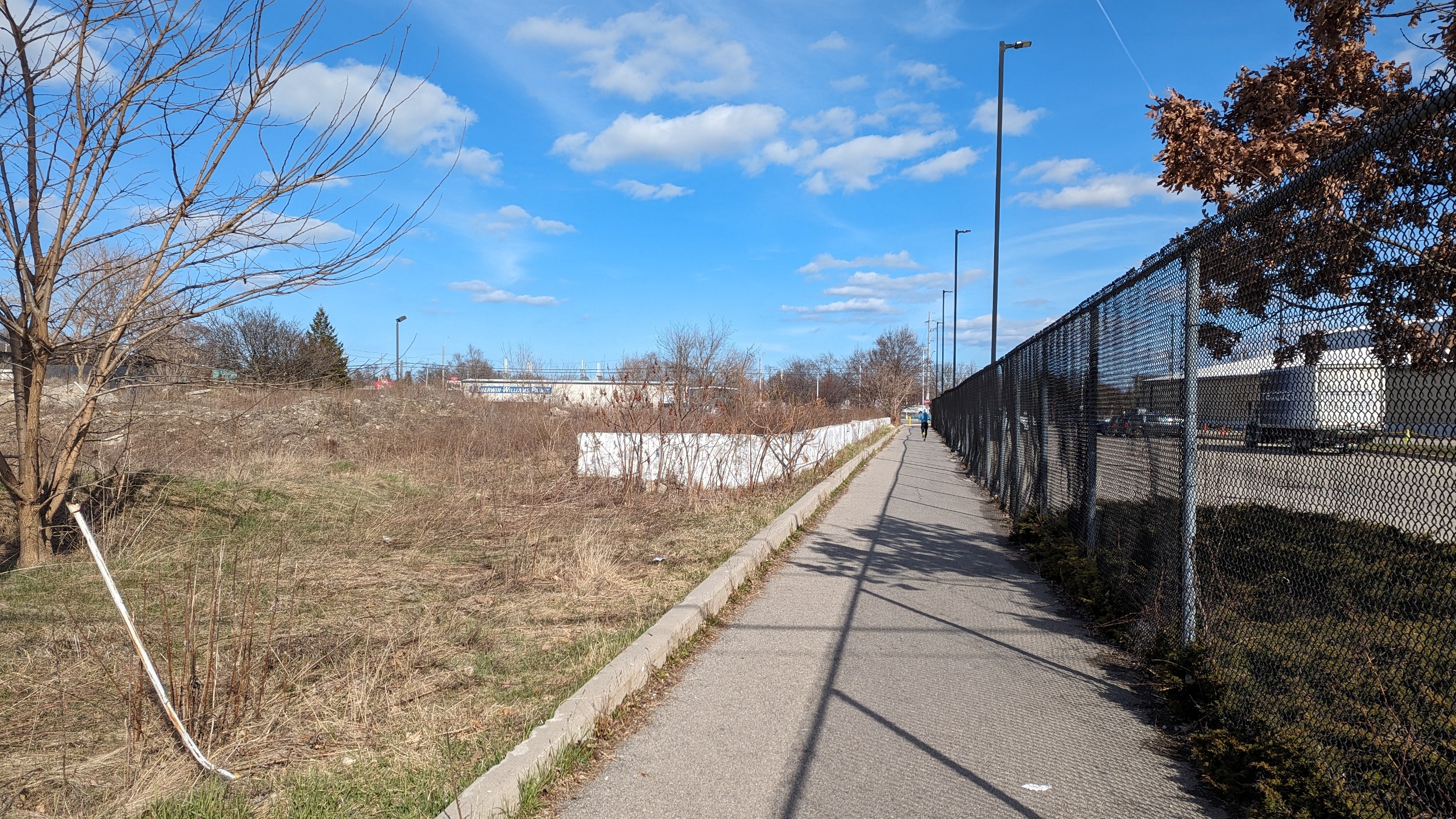
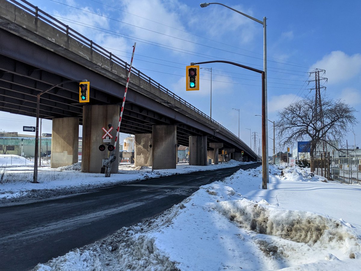
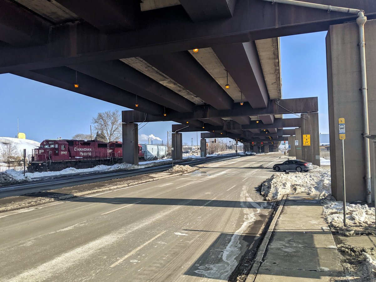
The Oakville Subdivision is CN’s connection to York Region, and the mainline for passenger trains to Toronto. The Grimsby Subdivision is basically the continuation of the line to Niagara Falls. Most folks will probably recognize this as part of GO Transit’s Lakeshore West Line, or Amtrak’s route to New York.
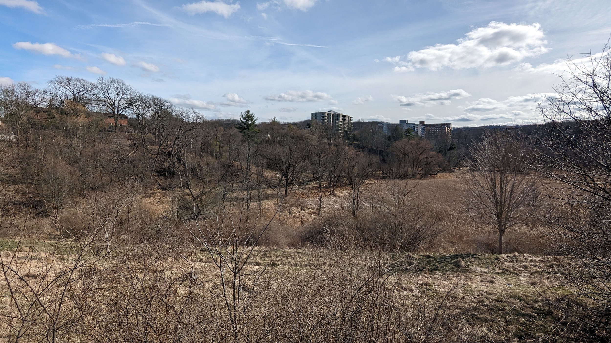
After rounding the bend and crossing the Desjardins Canal, railway activities broaden out in West Harbour to serve a GO station and two freight yards. After this, it’s a straight cut through the city, with other notable points being the future GO station and layover at Centennial Parkway and Lewis Road, as well as a freight yard primarily for cars full of steel rolls.
There’s a good existing segment of the Waterfront Trail between Desjardins Canal and Bayfront Park. Untapped potential for parallel recreation trails exists north of the canal and in the adjacent hydro corridor in Stoney Creek. There’s also room to improve connections across the tracks for Fifty and Battlefield Creeks.
Images below are from Hamilton Mainline


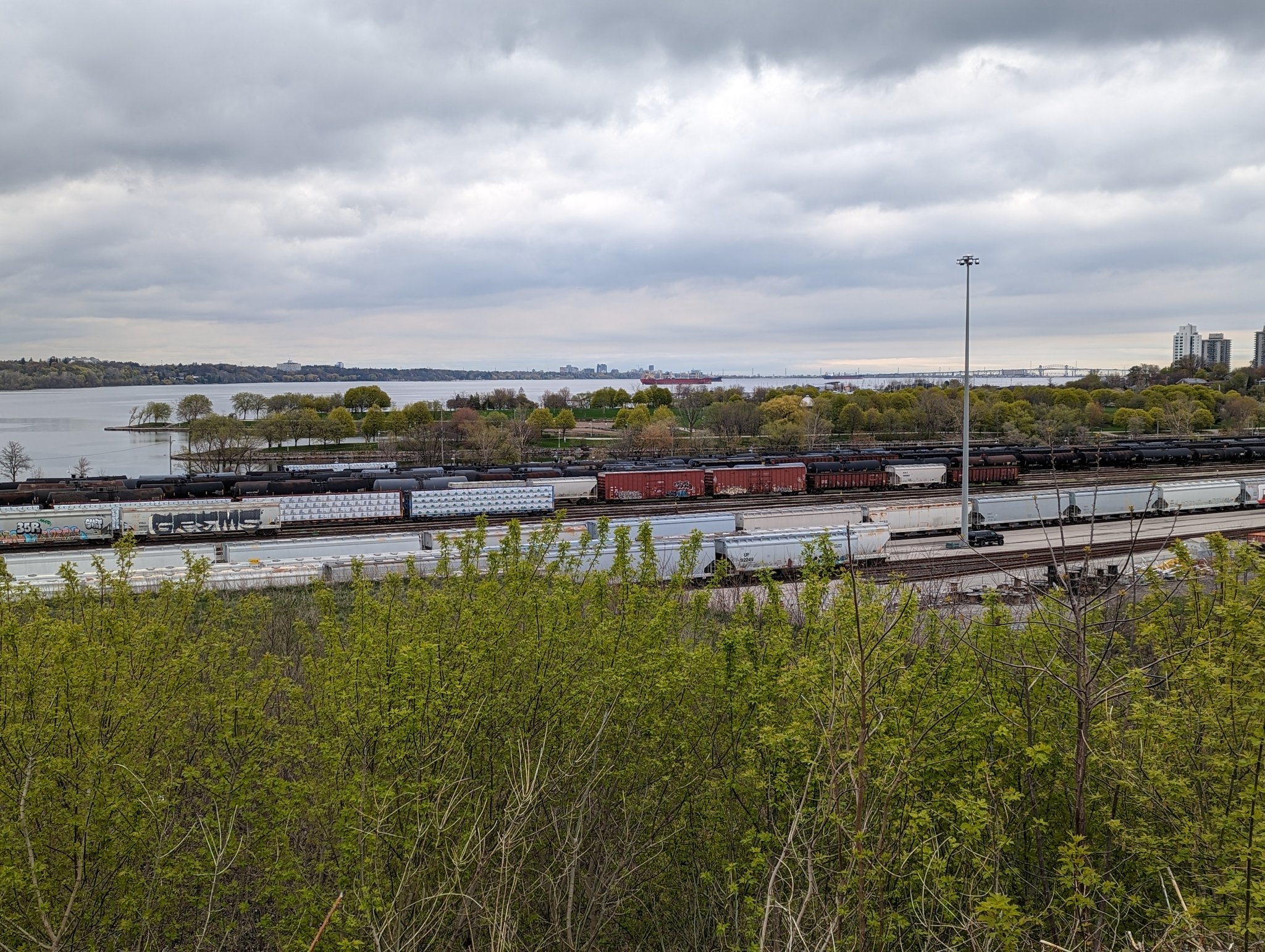
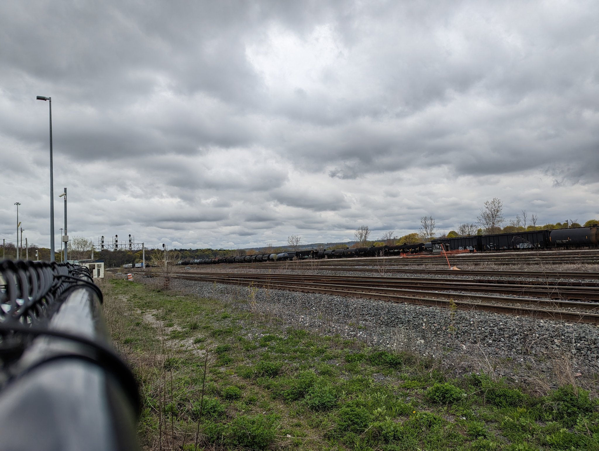
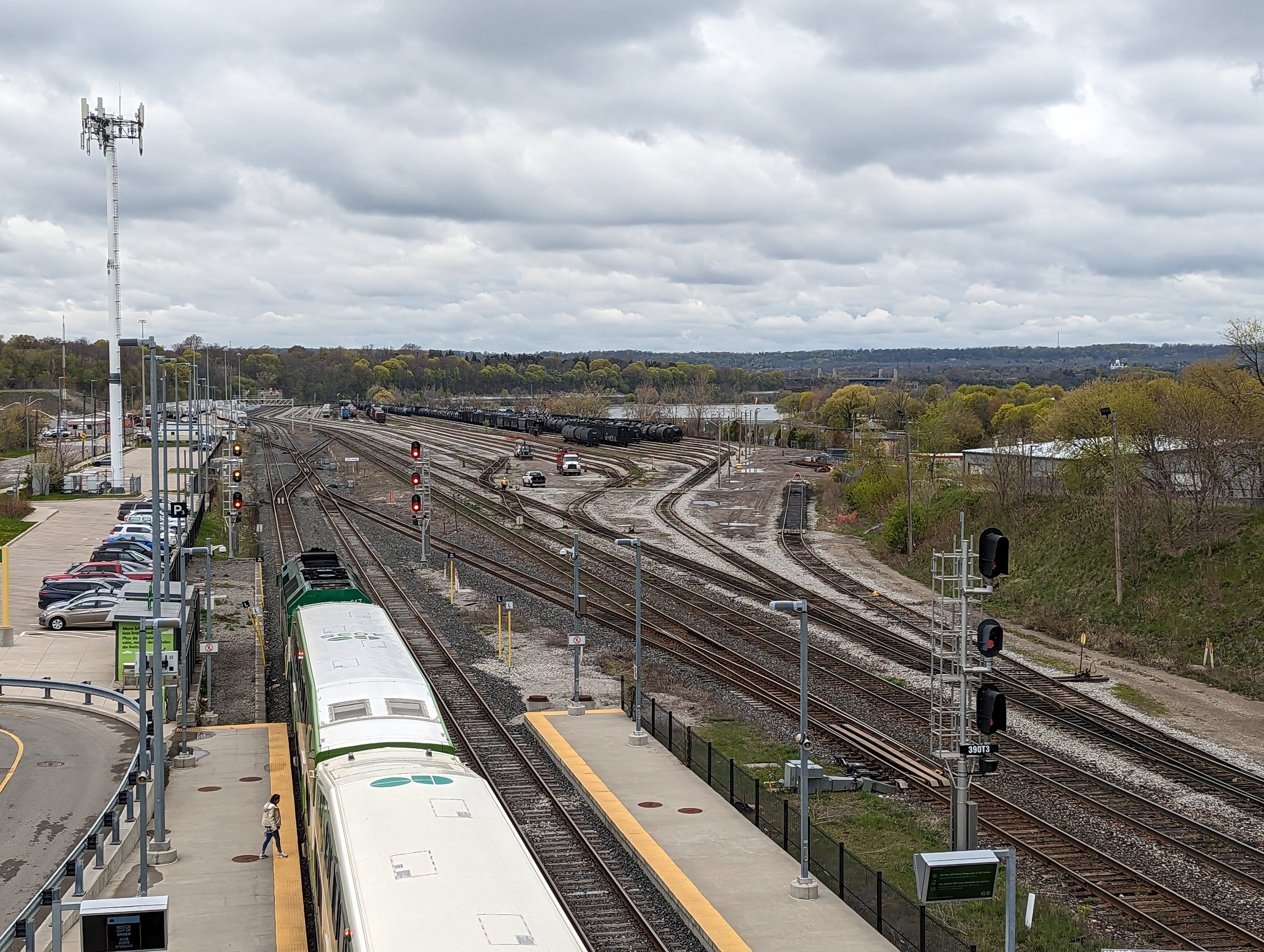


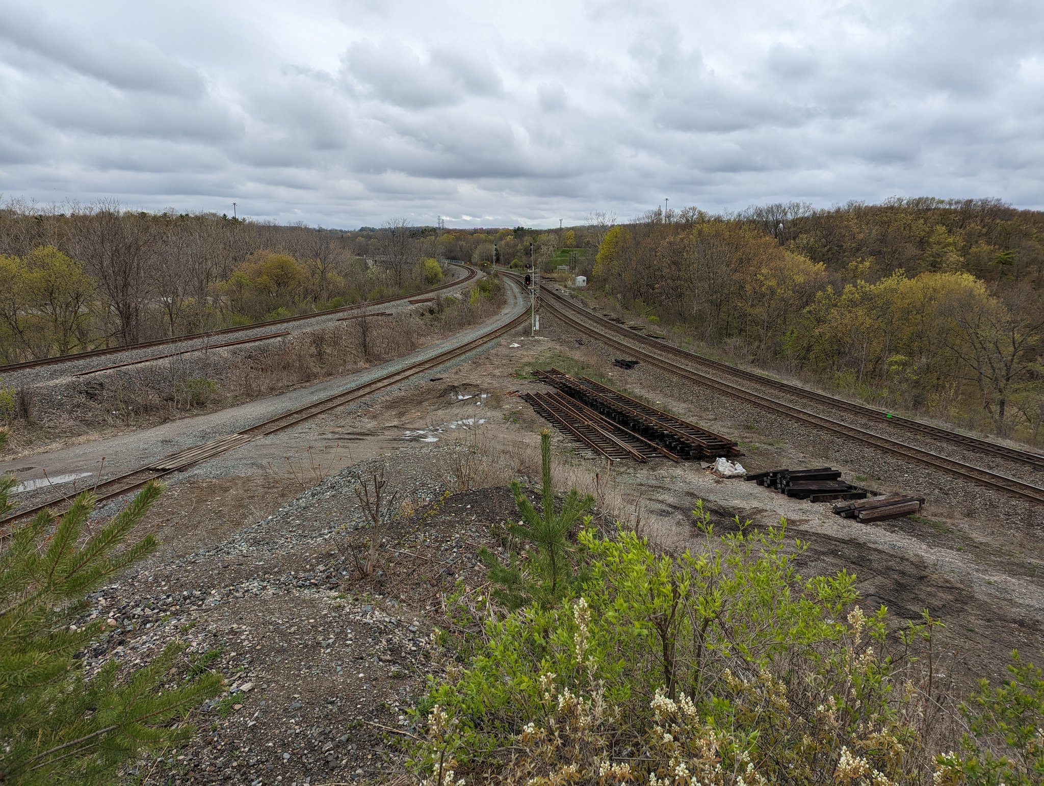
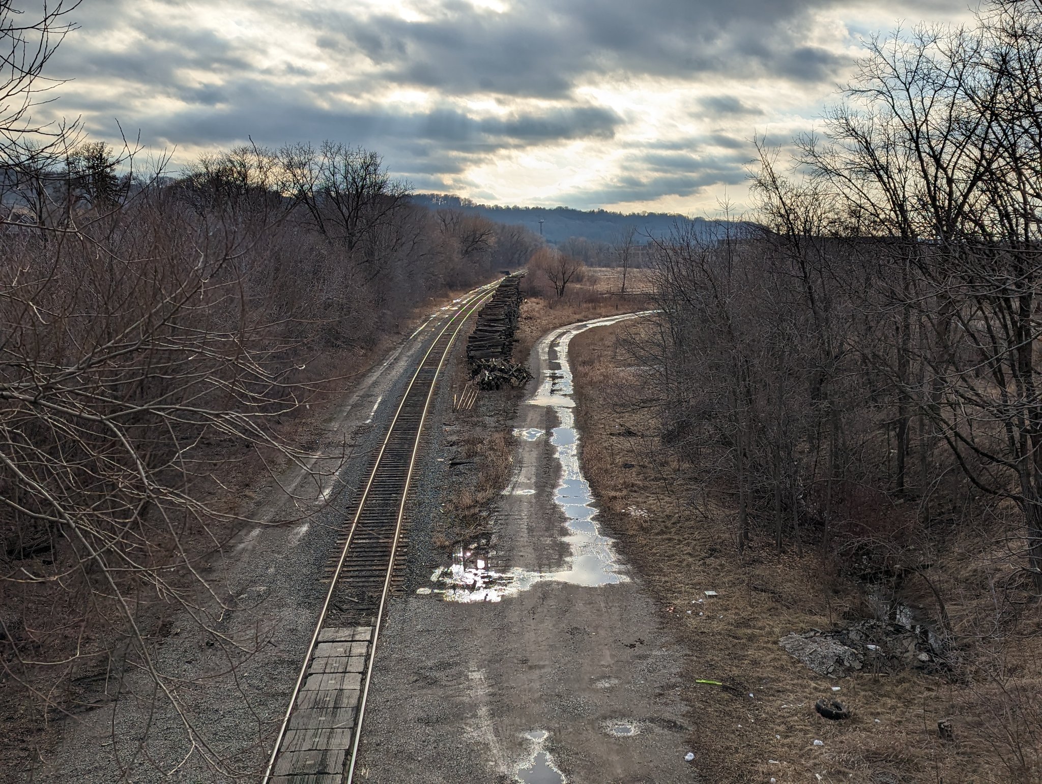
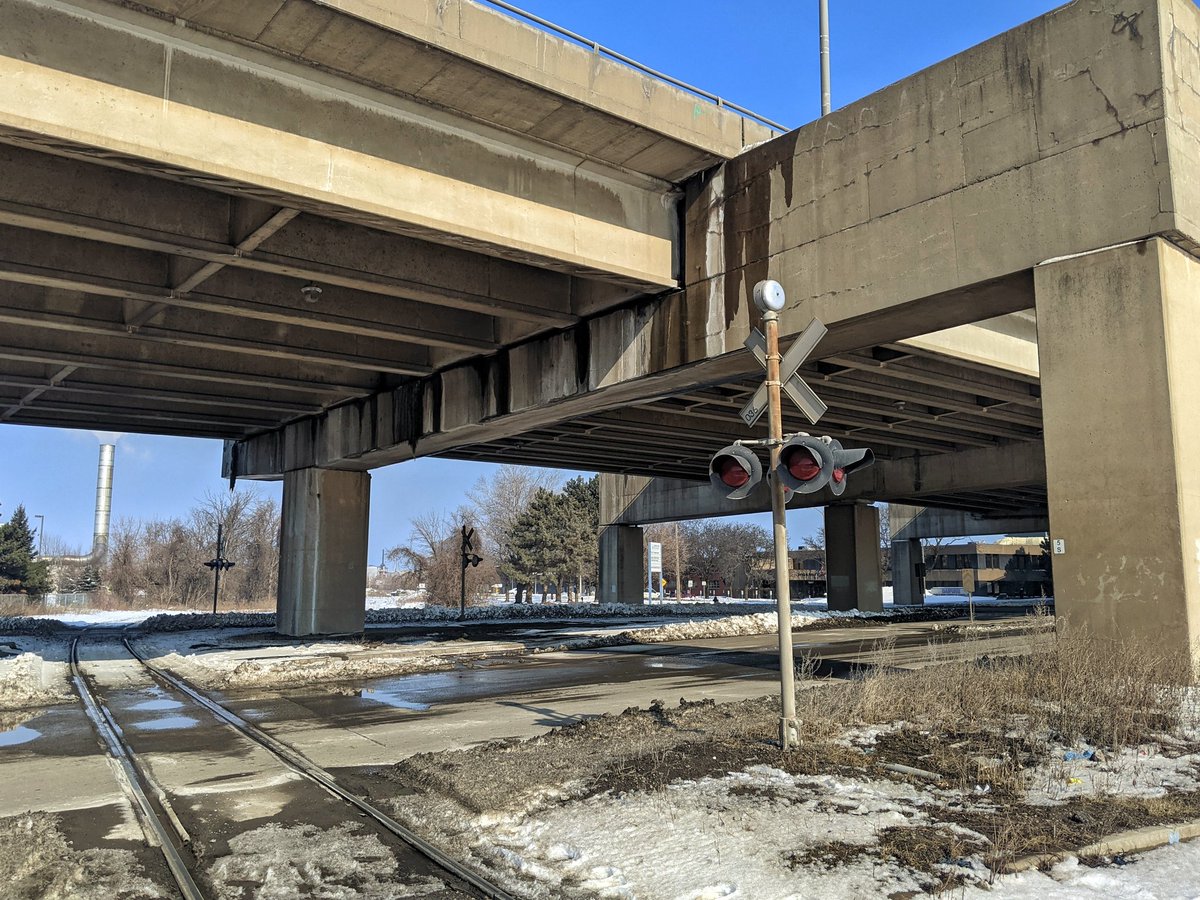
Hamilton Subdivision
| Area | 79.3 ha |
| Length | 24.5 km |
| Average Width | 32 m |
| Tracks | 1 |
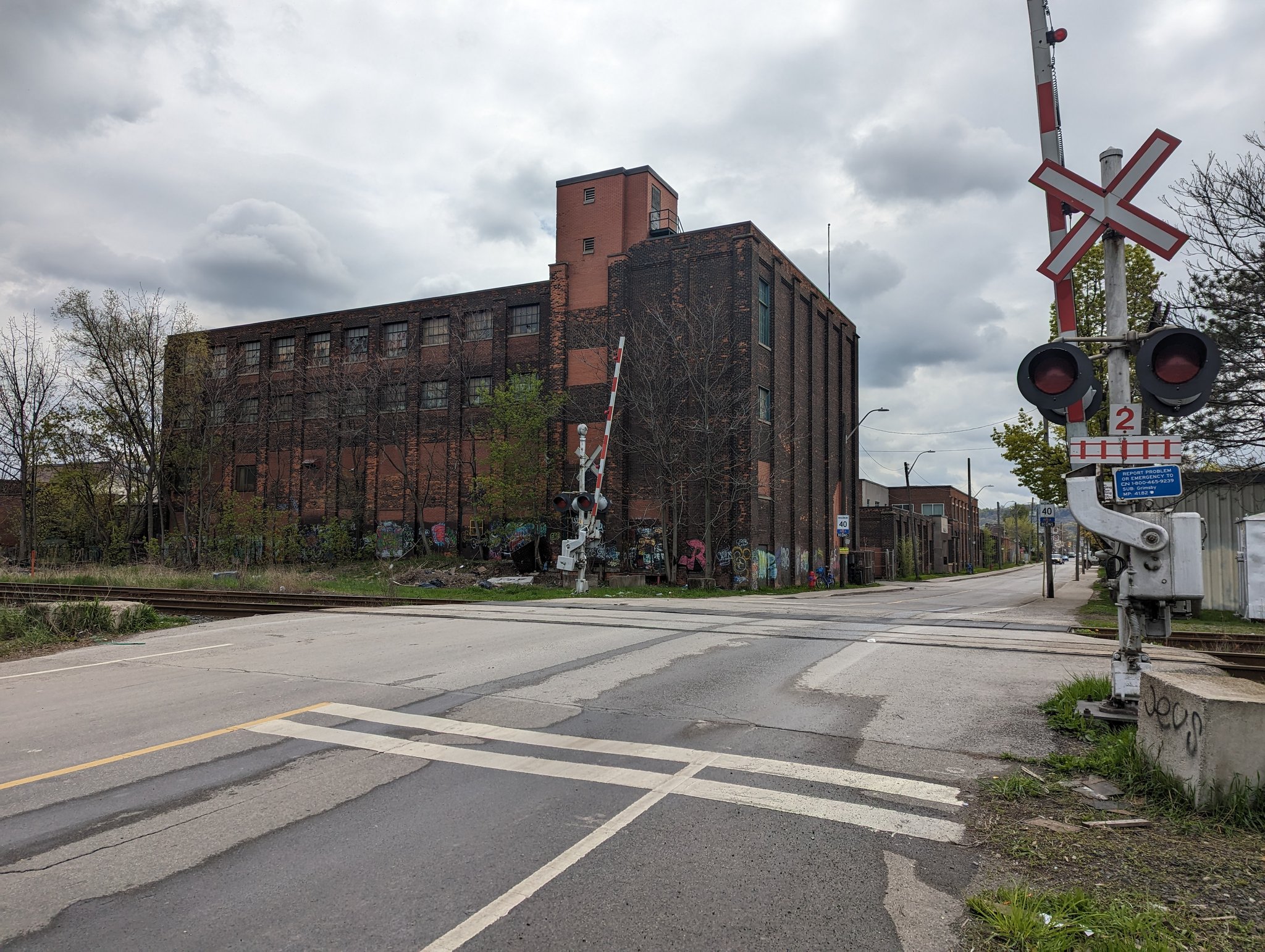
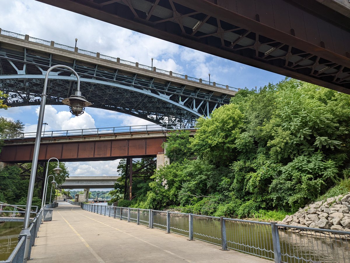
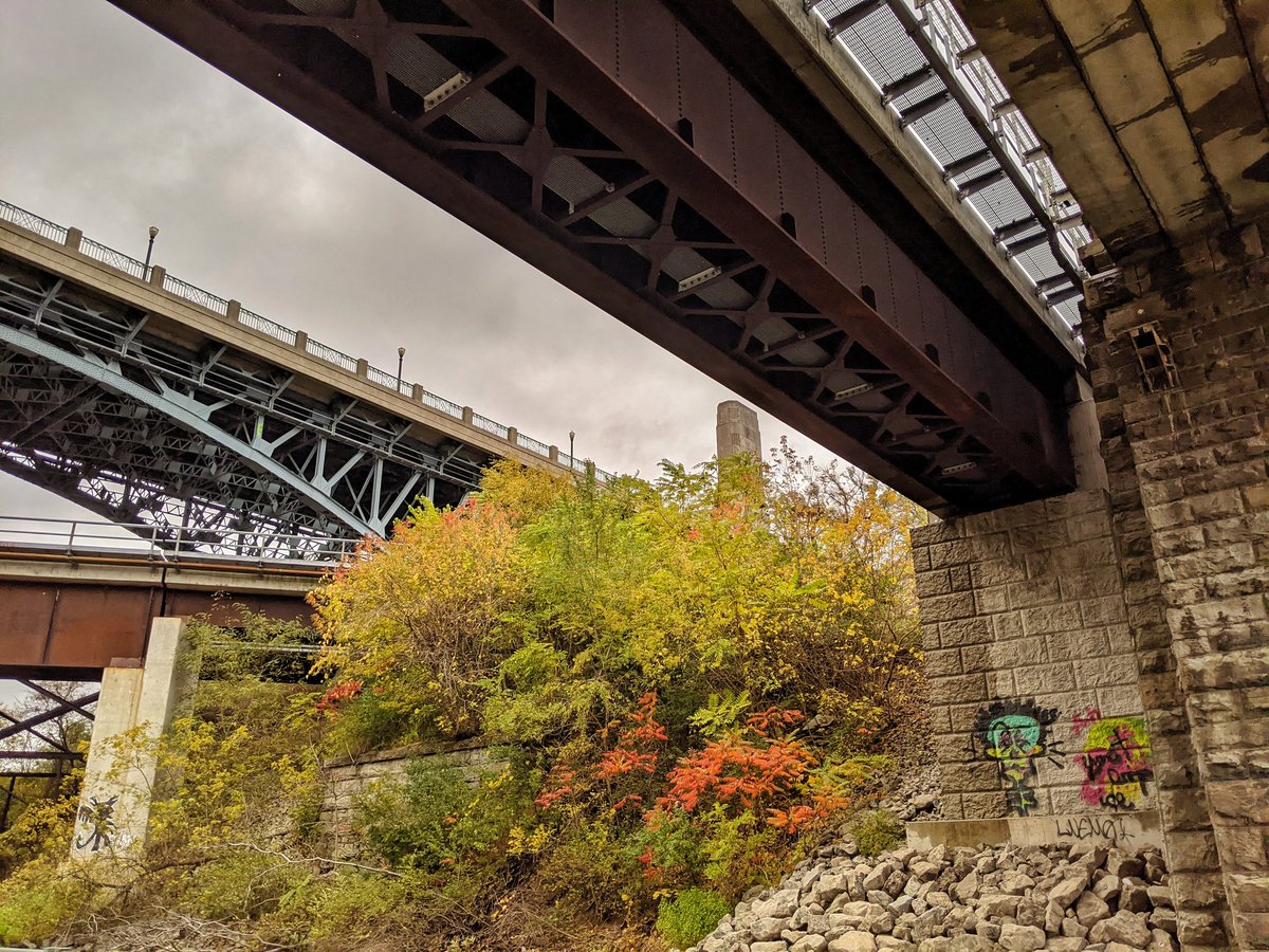
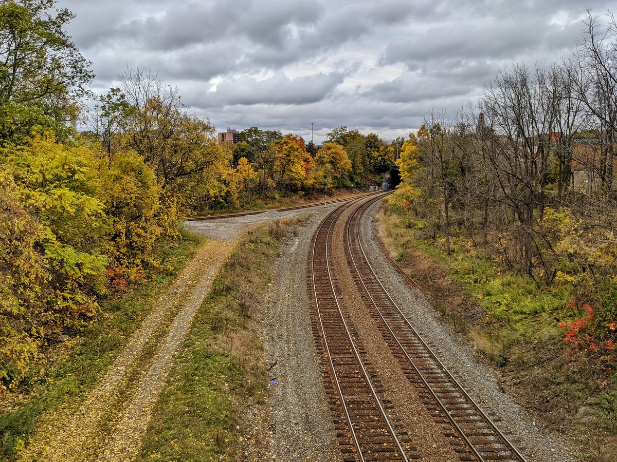
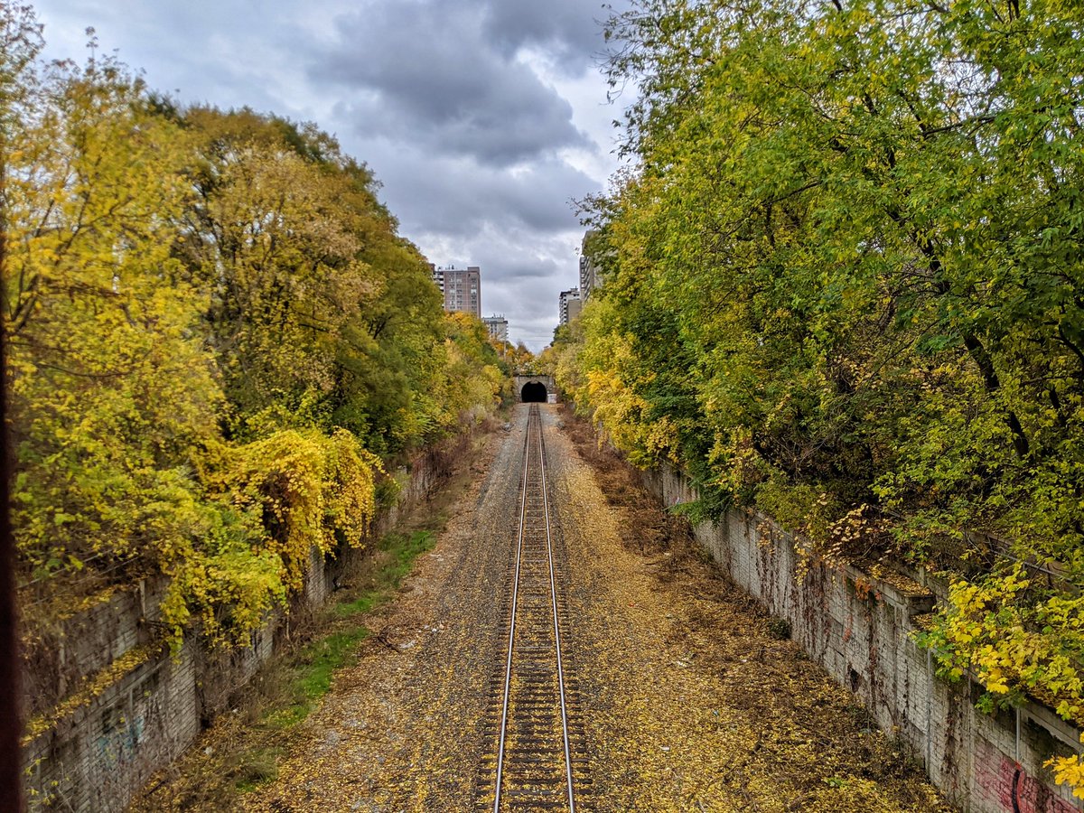
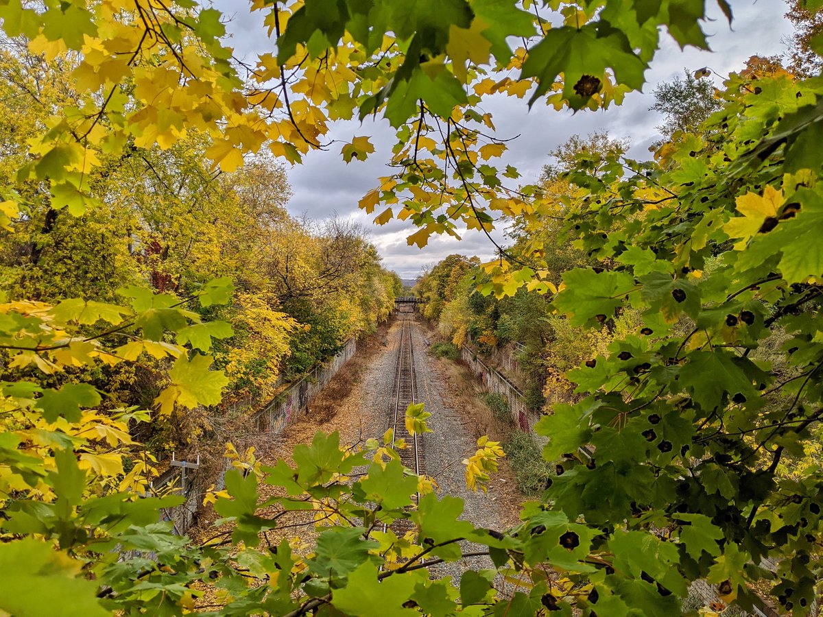
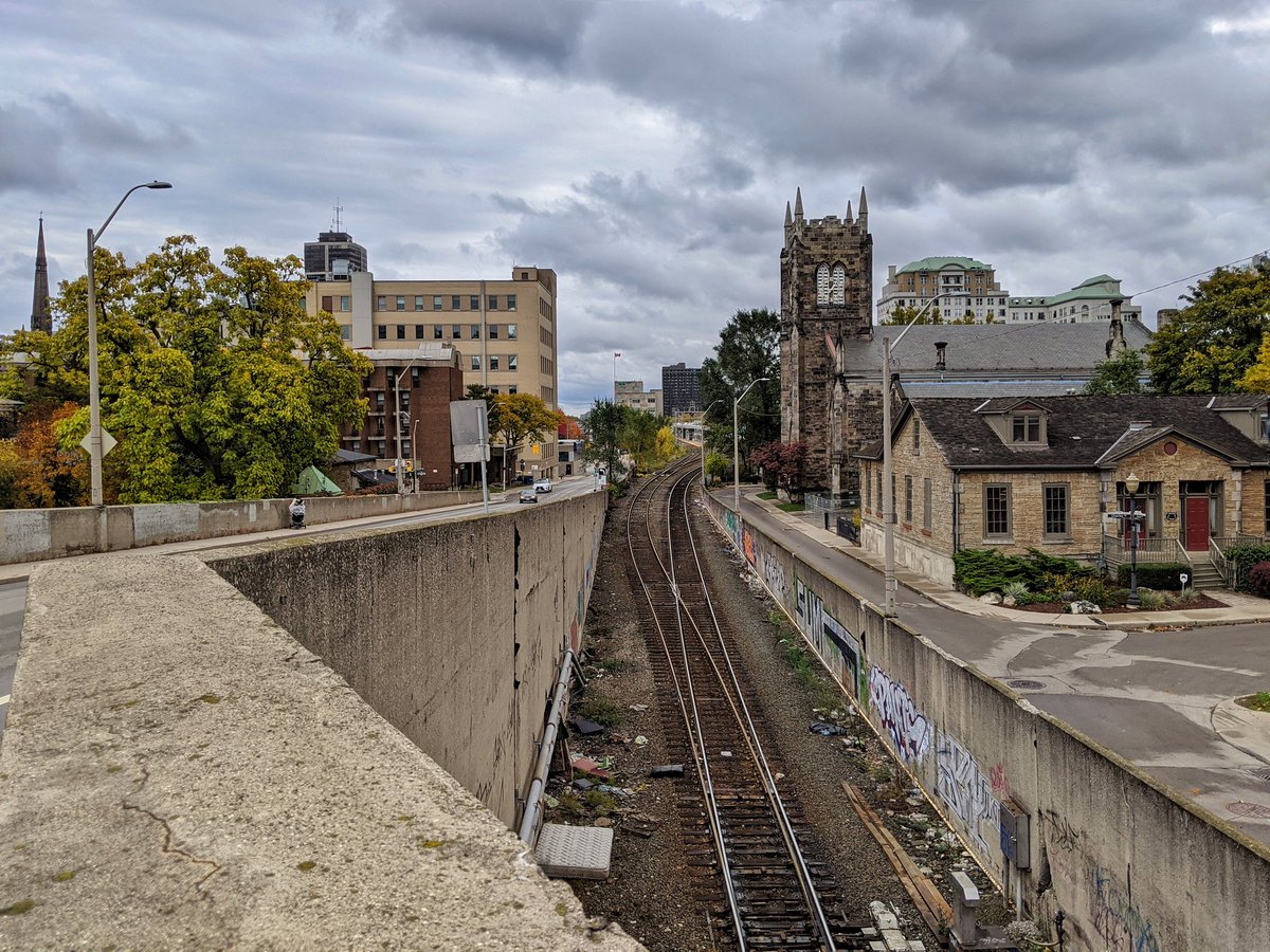
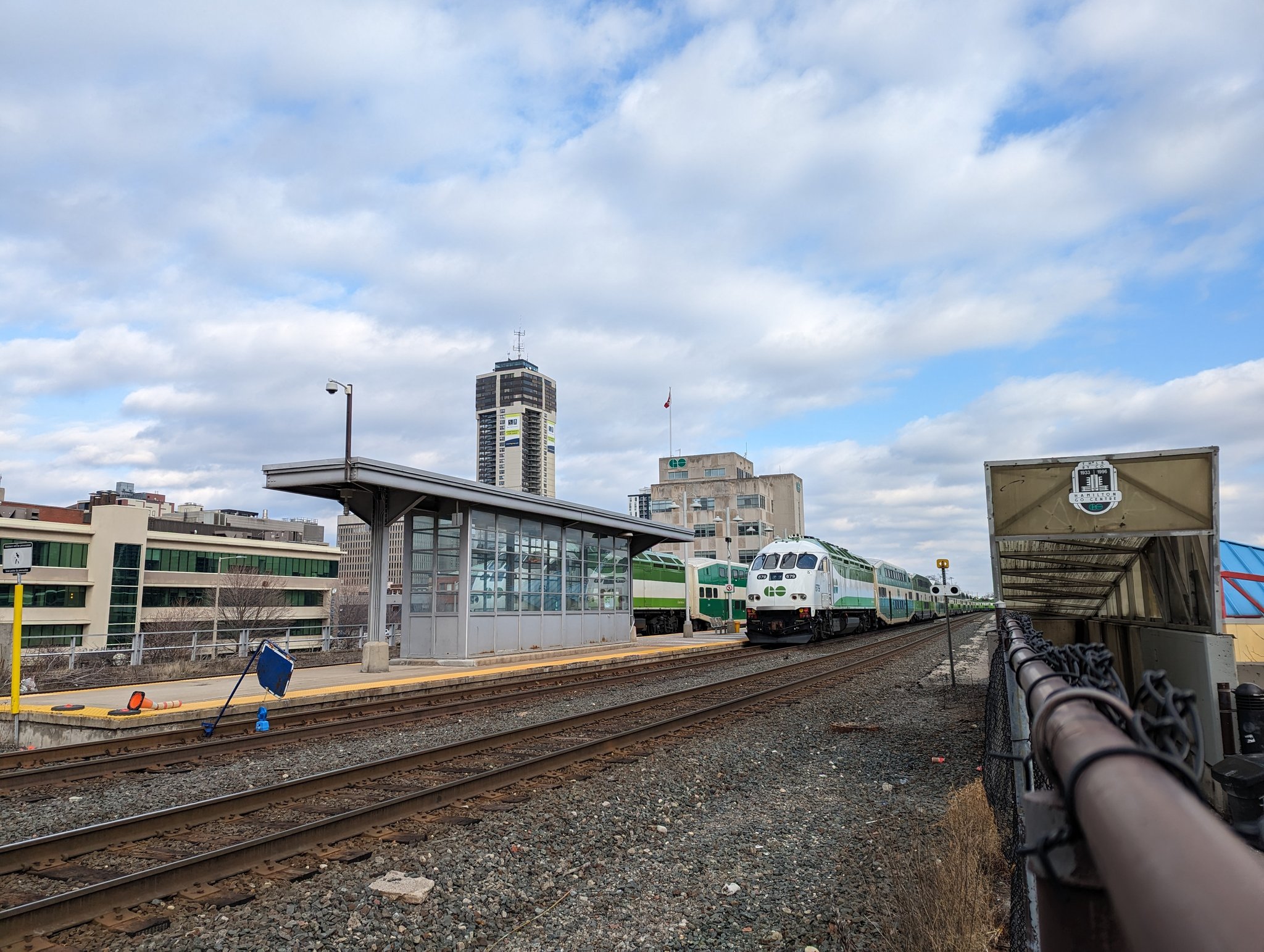
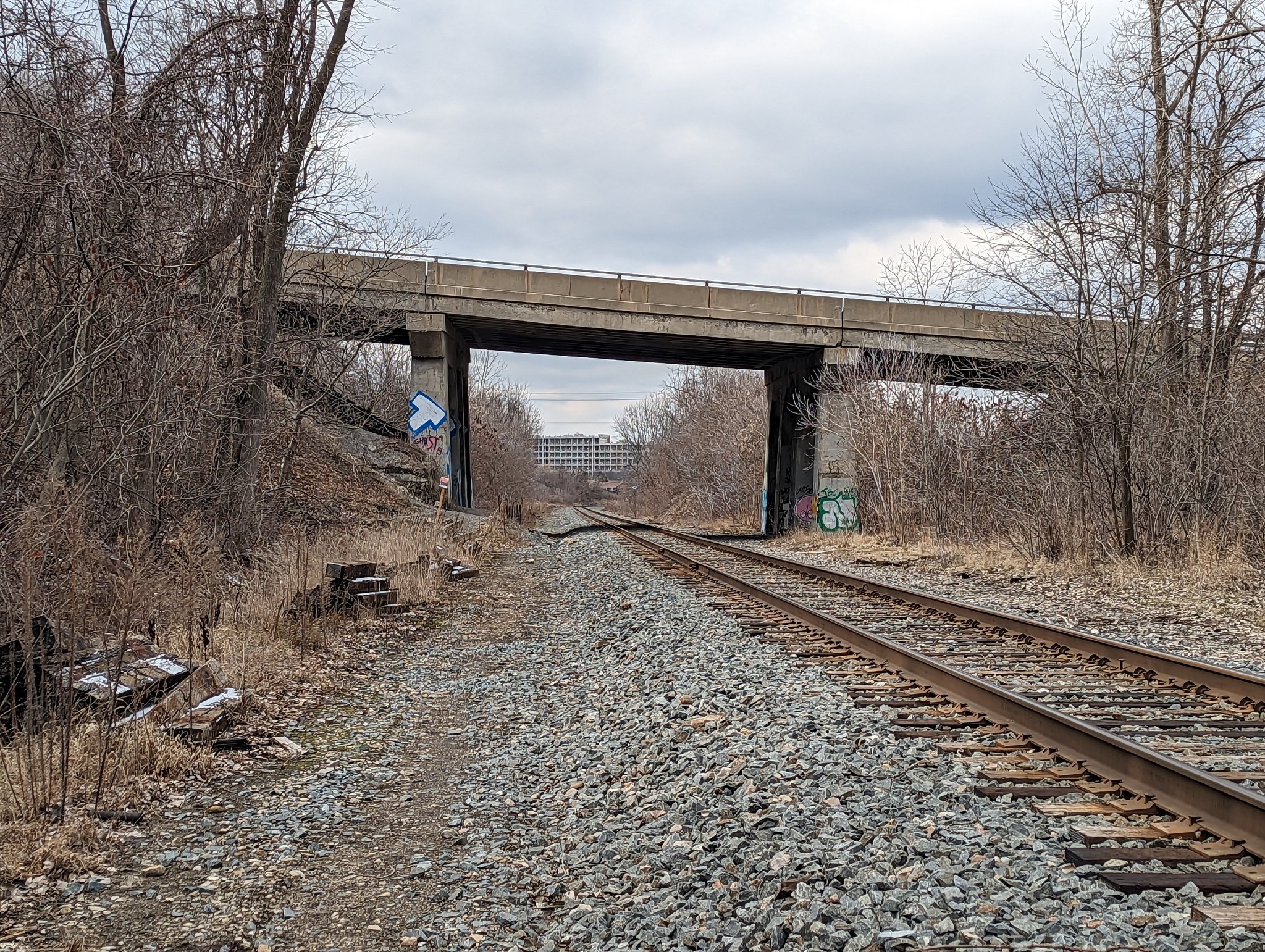
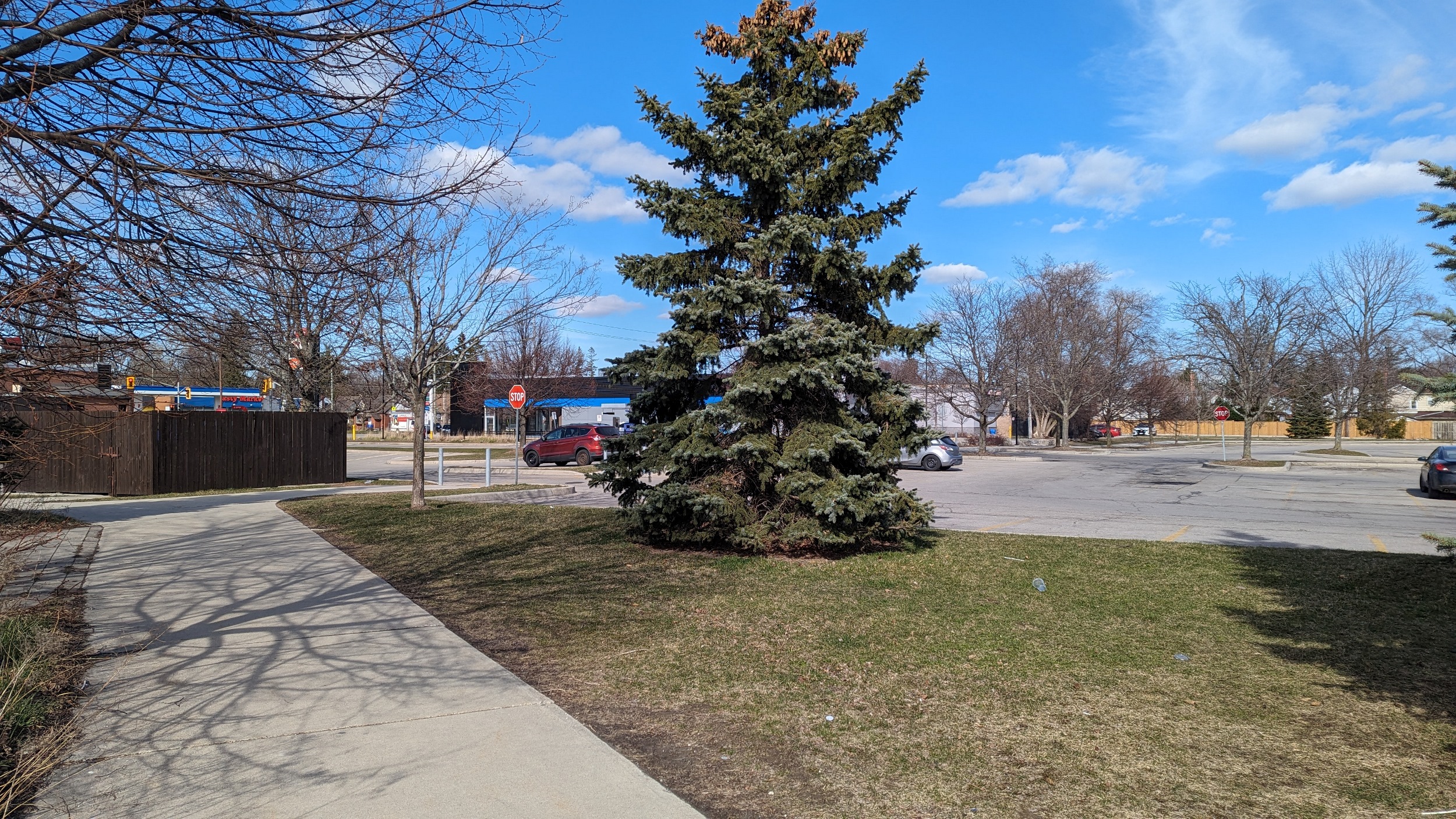
The Hamilton Subdivision is, in part, a modern descriptor for the Toronto, Hamilton and Buffalo (TH&B) Railway, which built its line through Hamilton in 1894. It never reached Toronto or Buffalo; it was purchased jointly by Canadian Pacific Railway and New York Central Railroad the following year, and simply filled the gap between other lines of these railroads. New York Central Railroad was eventually bought out and the TH&B is now part of the Canadian Pacific Kansas City (CPKC) system.
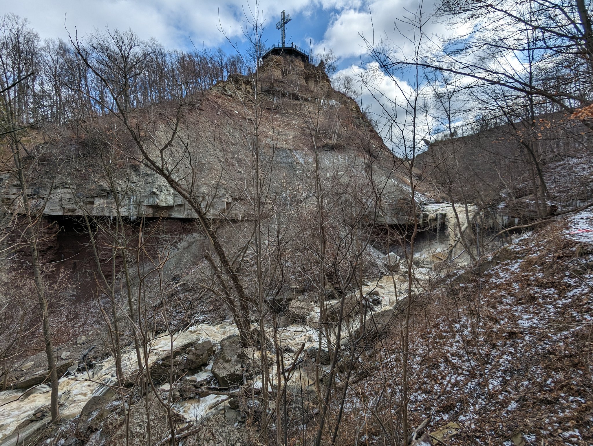
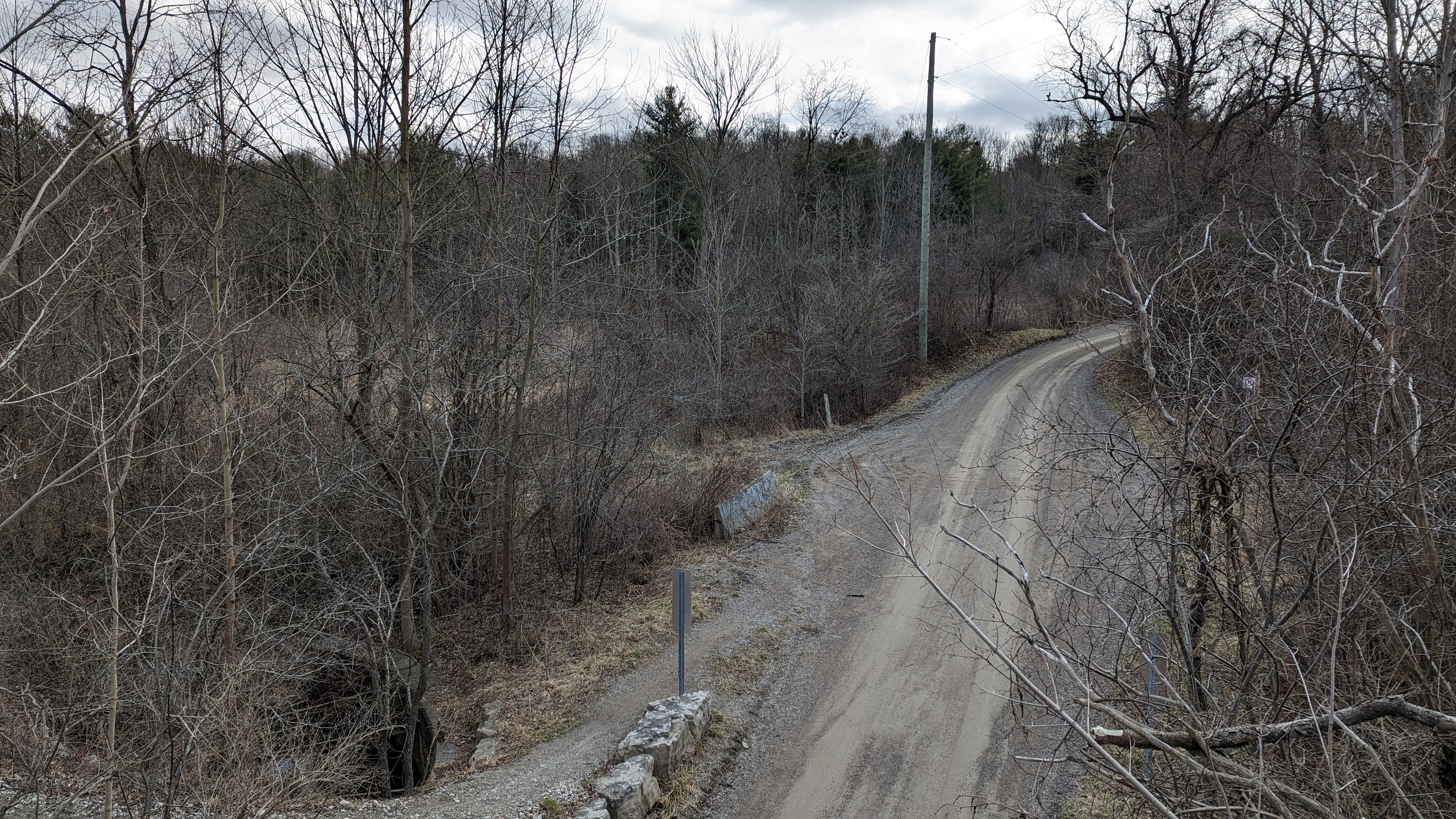
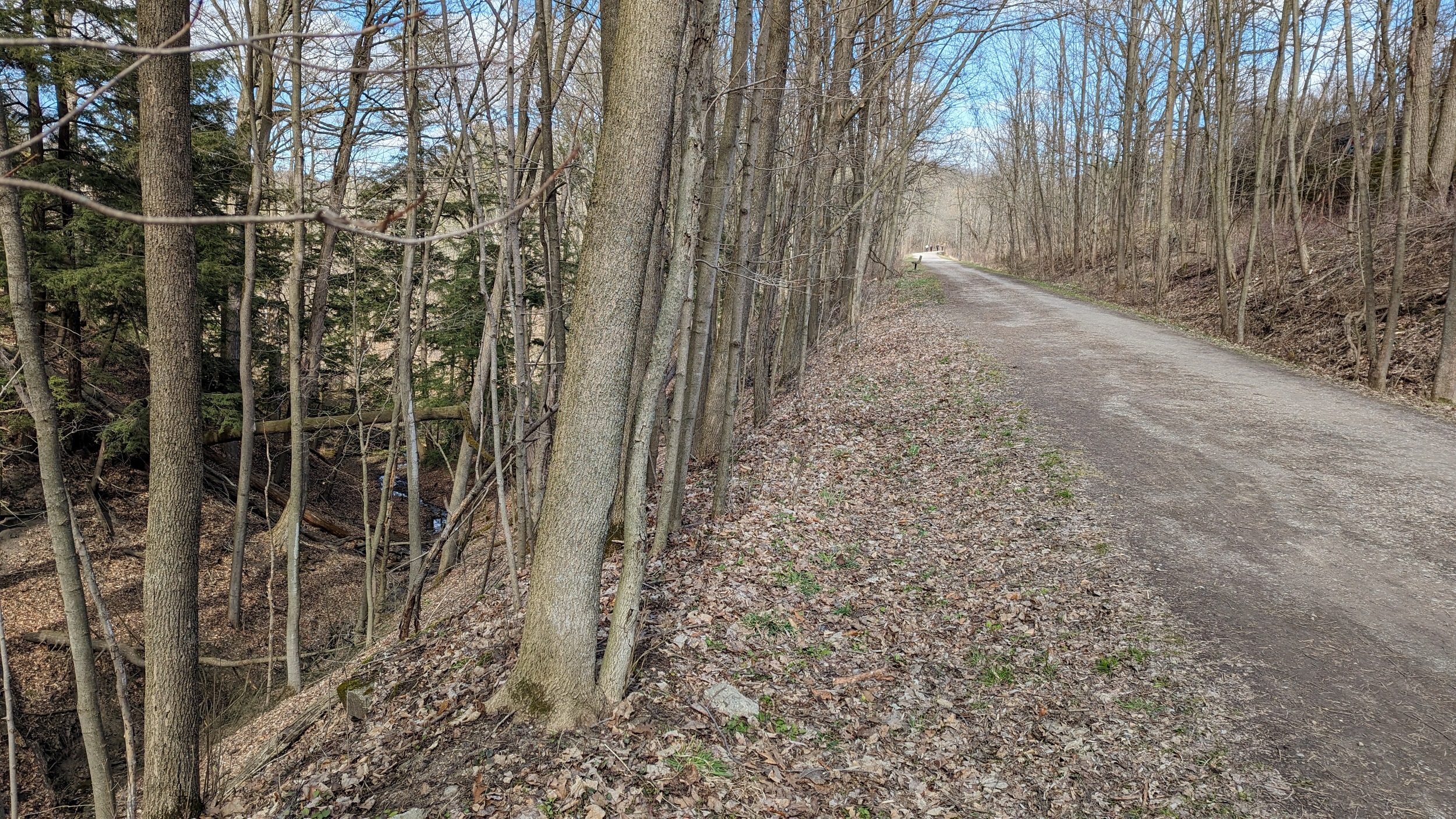
Like CN’s Dundas Subdivision, this route has to climb out of Hamilton and up the Escarpment. Interestingly, it also needs to climb down the Escarpment from Campbellville, and takes a twisty route to do it. Other noteworthy locations include the original TH&B railway station now served by GO trains, and a small tunnel west of it under Hunter Street.
Parts of the Bruce Trail, Escarpment Trail and Desjardins Trail in parallel to this rail line, but there are opportunities at several points to improve access across the corridor. Lawrence Avenue could use a multi-use trail or even a sidewalk at minimum where it butts up against the corridor. It also is a huge barrier for for several valleys in the Red Hill and Battlefield watersheds.
Images below are from Escarpment Rail and Hamilton Sub


Waterford Spur / Aberdeen Yard
| Area | 16.9 ha |
| Length | 2.9 km |
| Average Width | 58 m |
| Tracks | 1 / 14 |

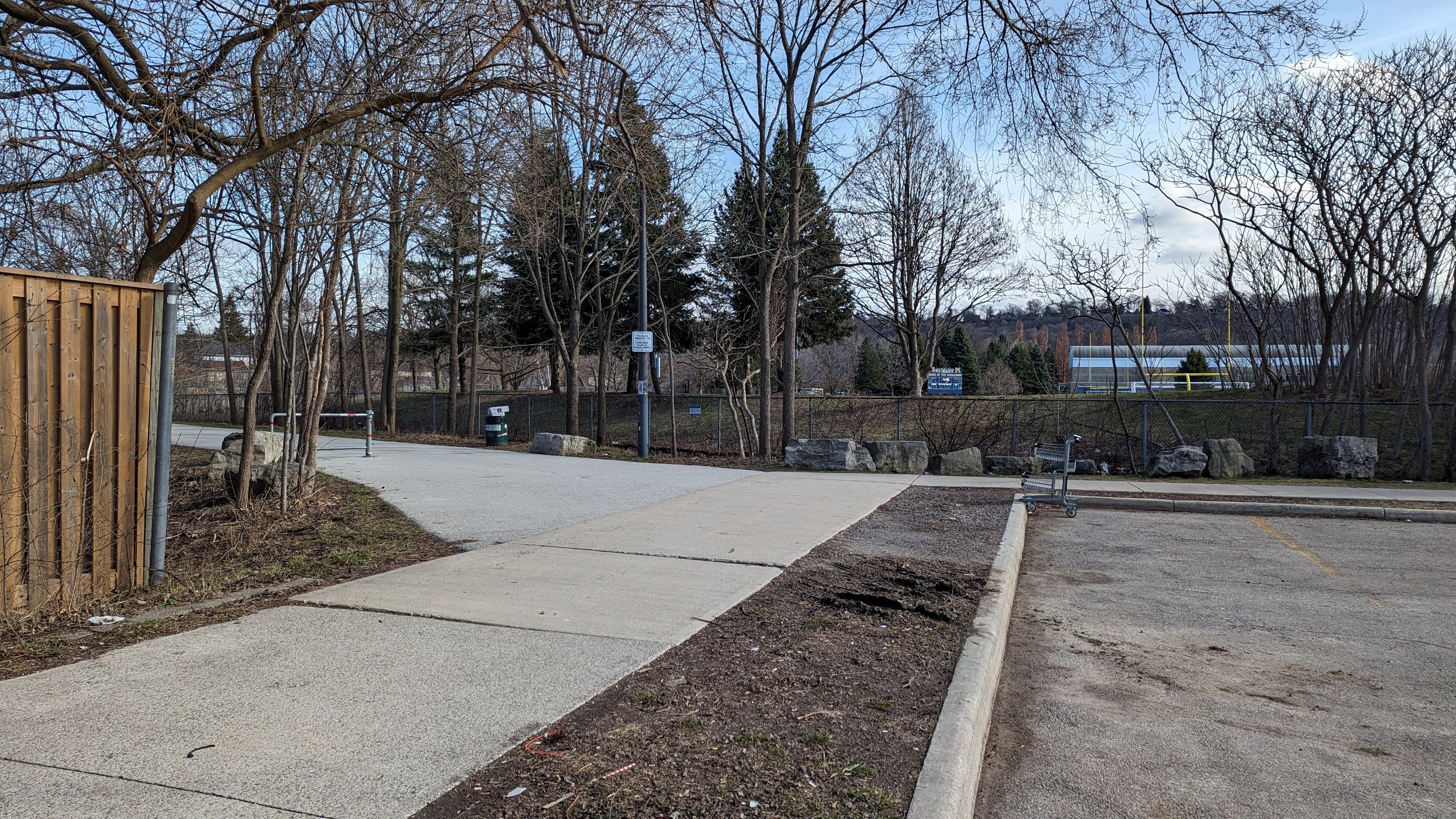
The Waterford Spur is CPKC’s connection to Aberdeen Yard. This was once part of a larger industrial presence in the West Kirkendall District, and also a longer TH&B rail line running to Brantford and Waterford. Today, industrial activity is concentrated at Transcare Logistics (transloading services).
Images below are from Hamilton Sub and Chedoke Creek


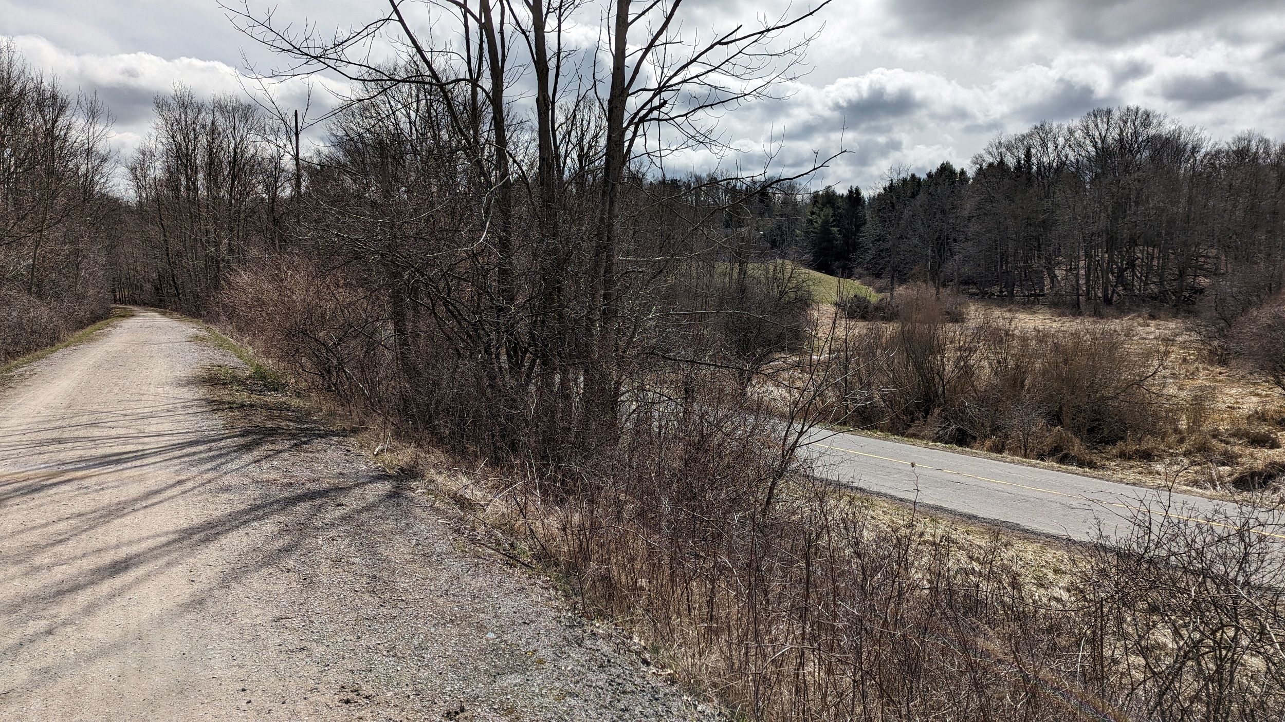
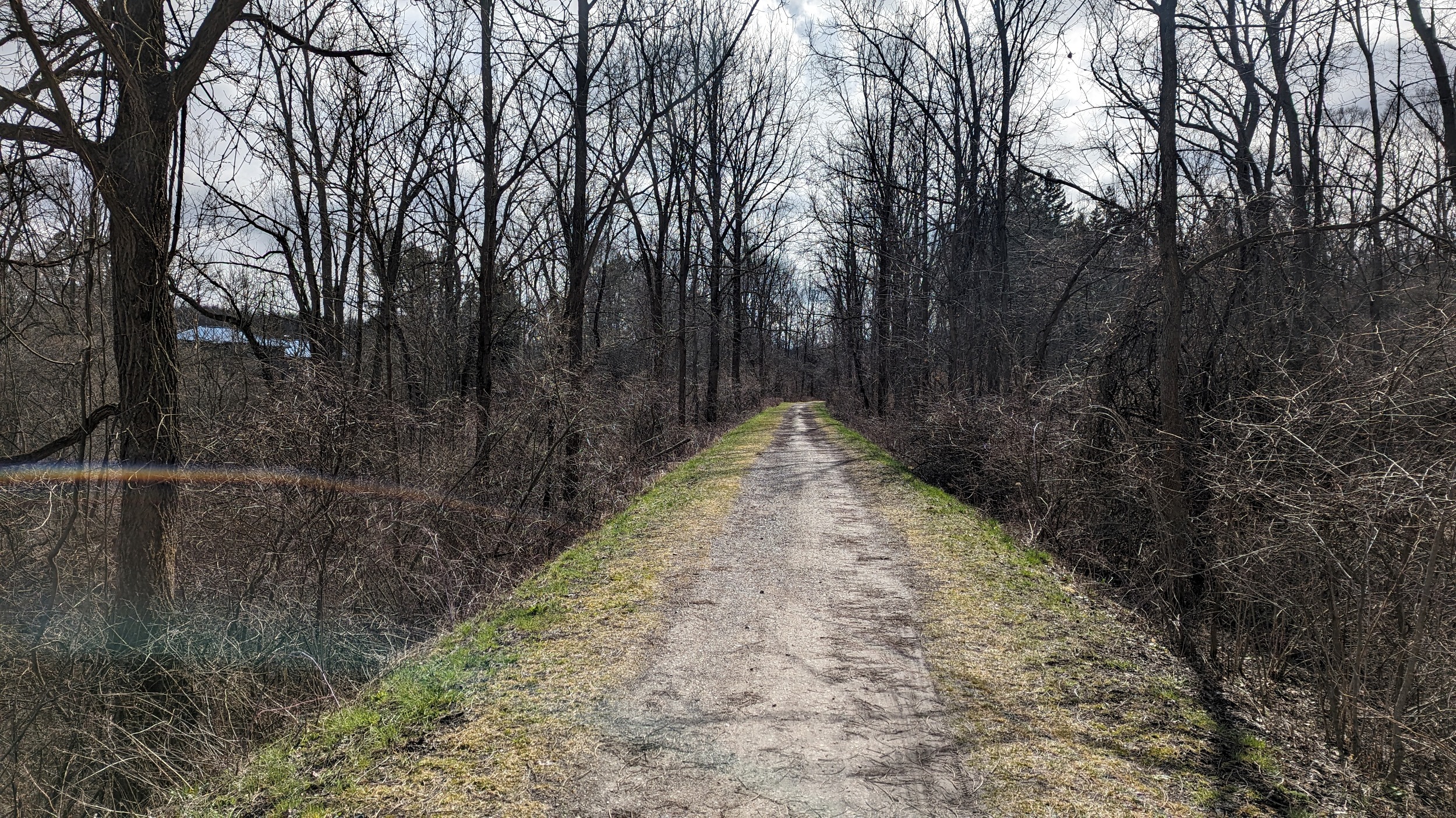
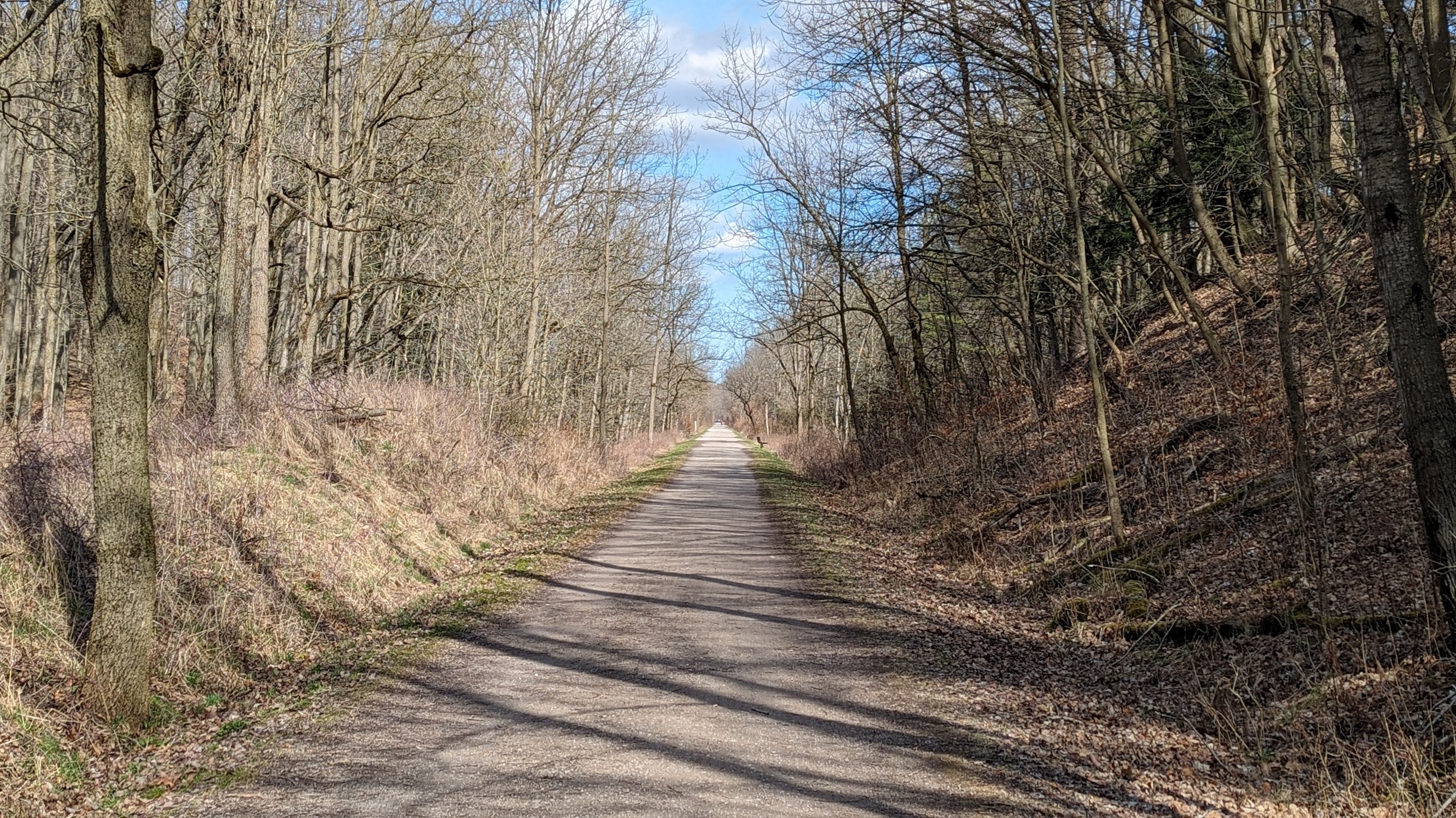
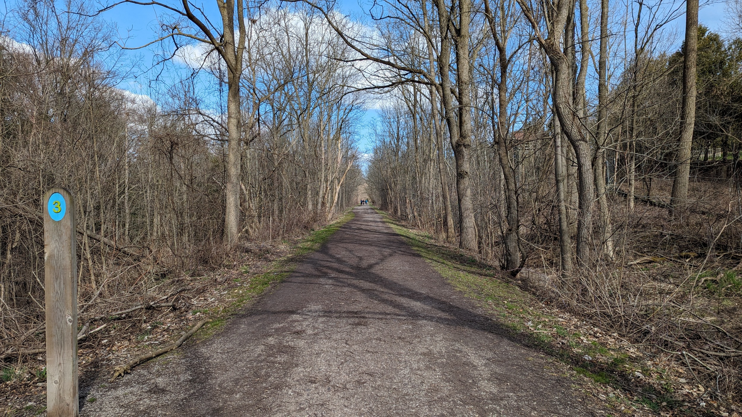
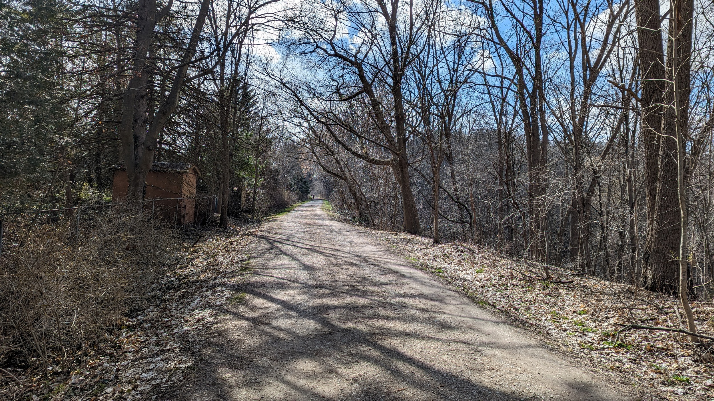
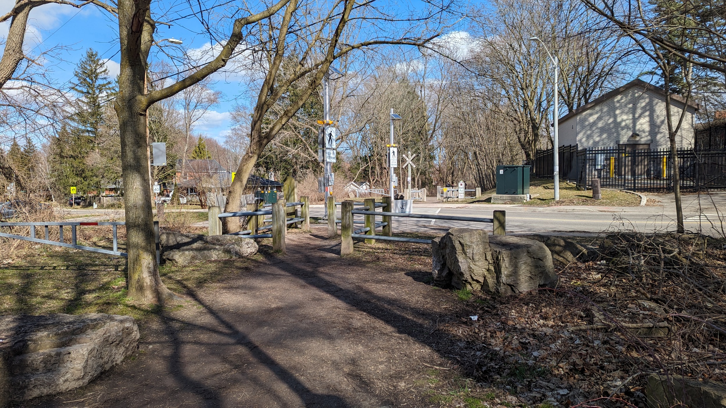
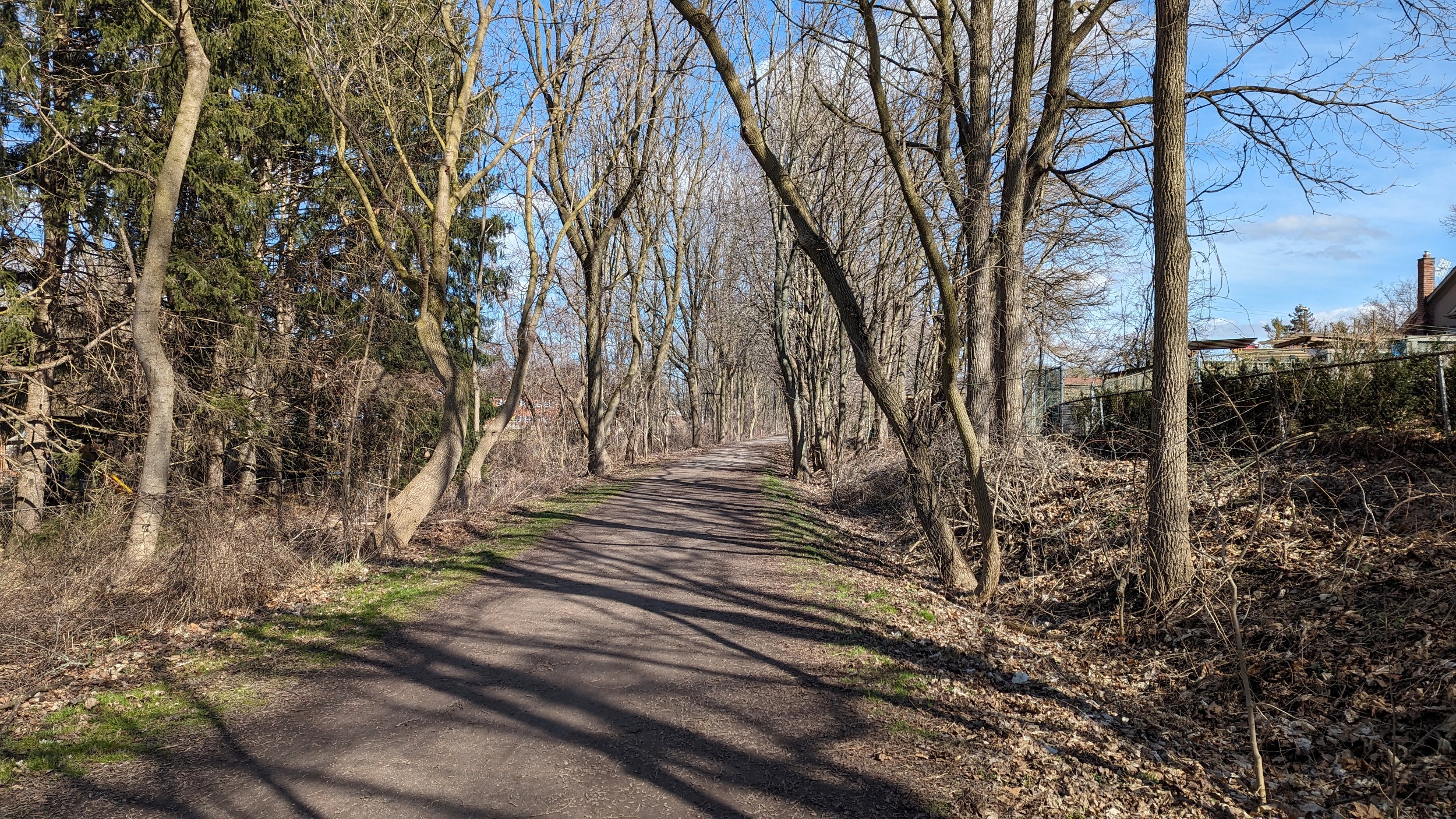
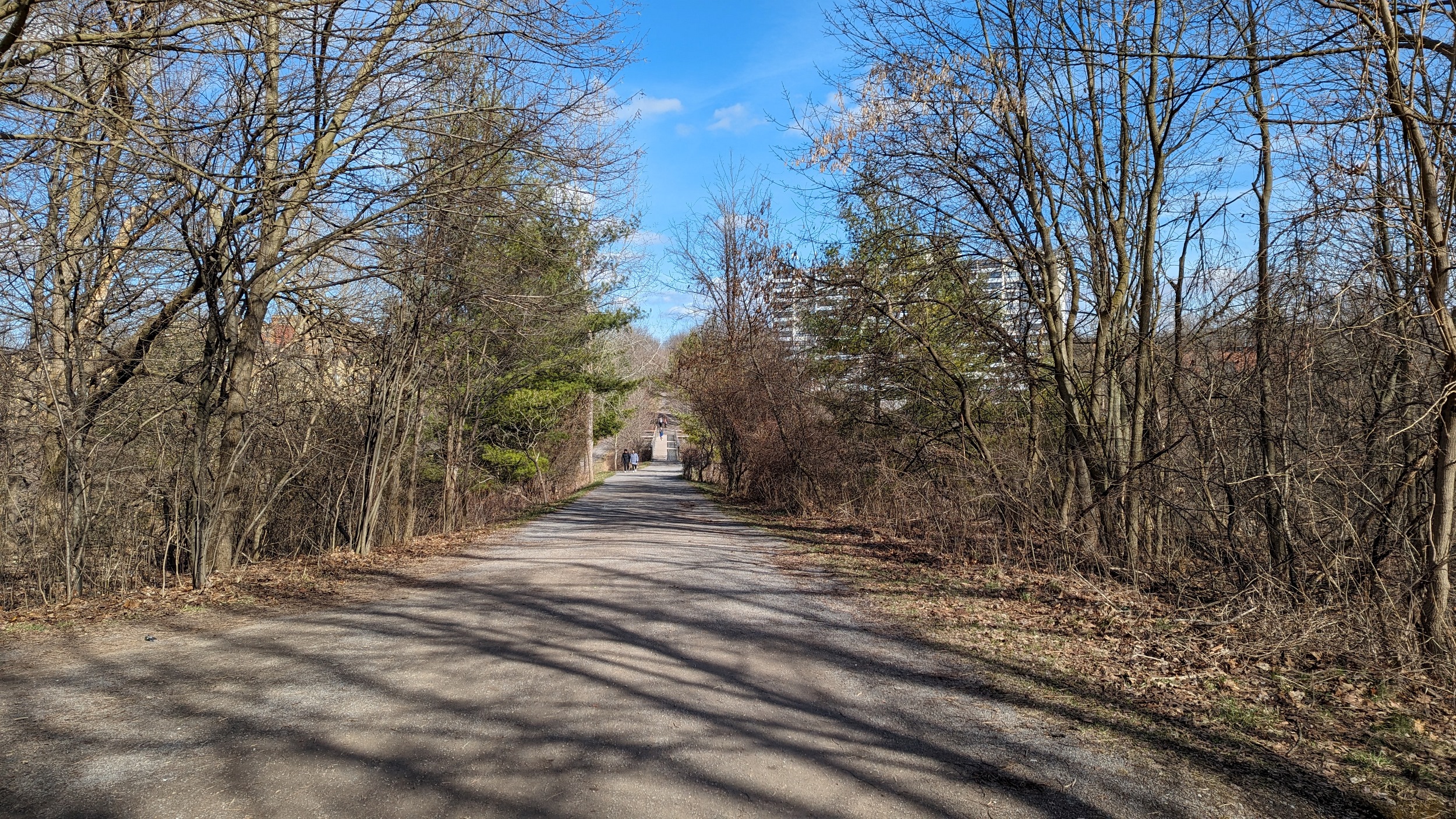
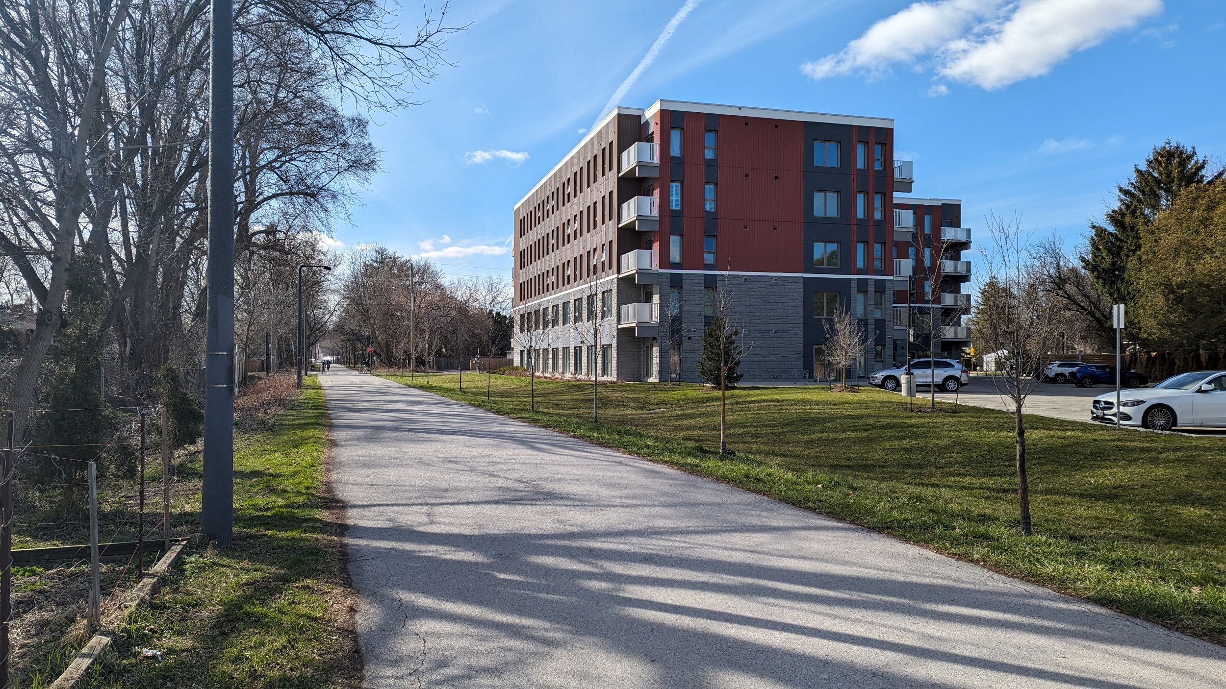
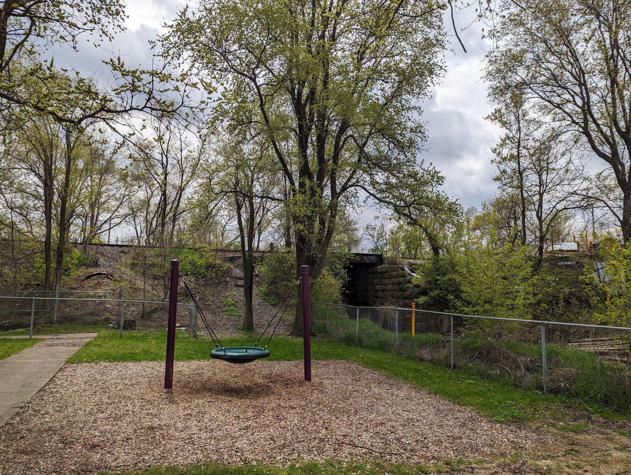
Hamilton-Brantford Rail Trail
West of Ewen Road, the rail line was abandoned in 1989. 7 years later, it was opened as a rail trail after being transferred to the Hamilton Conservation Authority. Another stretch between Ewen Road and Aberdeen Yard was abandoned and converted to a trail in 2011. It now serves as a well-used recreation corridor for local residents in West Hamilton, Dundas and Ancaster, as well as a cycling route for the more ambitious. A former train station lives on as the Dundas Valley Trail Centre,a nd the remnants of another live just east of Highway 52.
Images below are from Dundas Valley Hydro / Rail


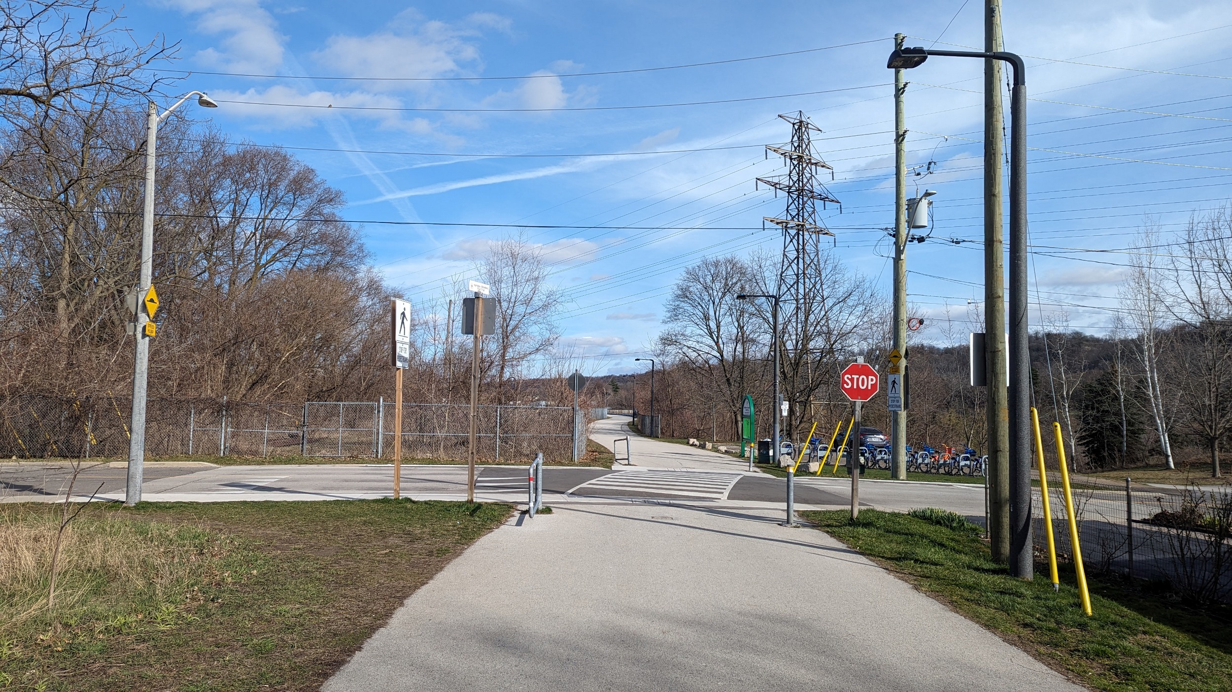

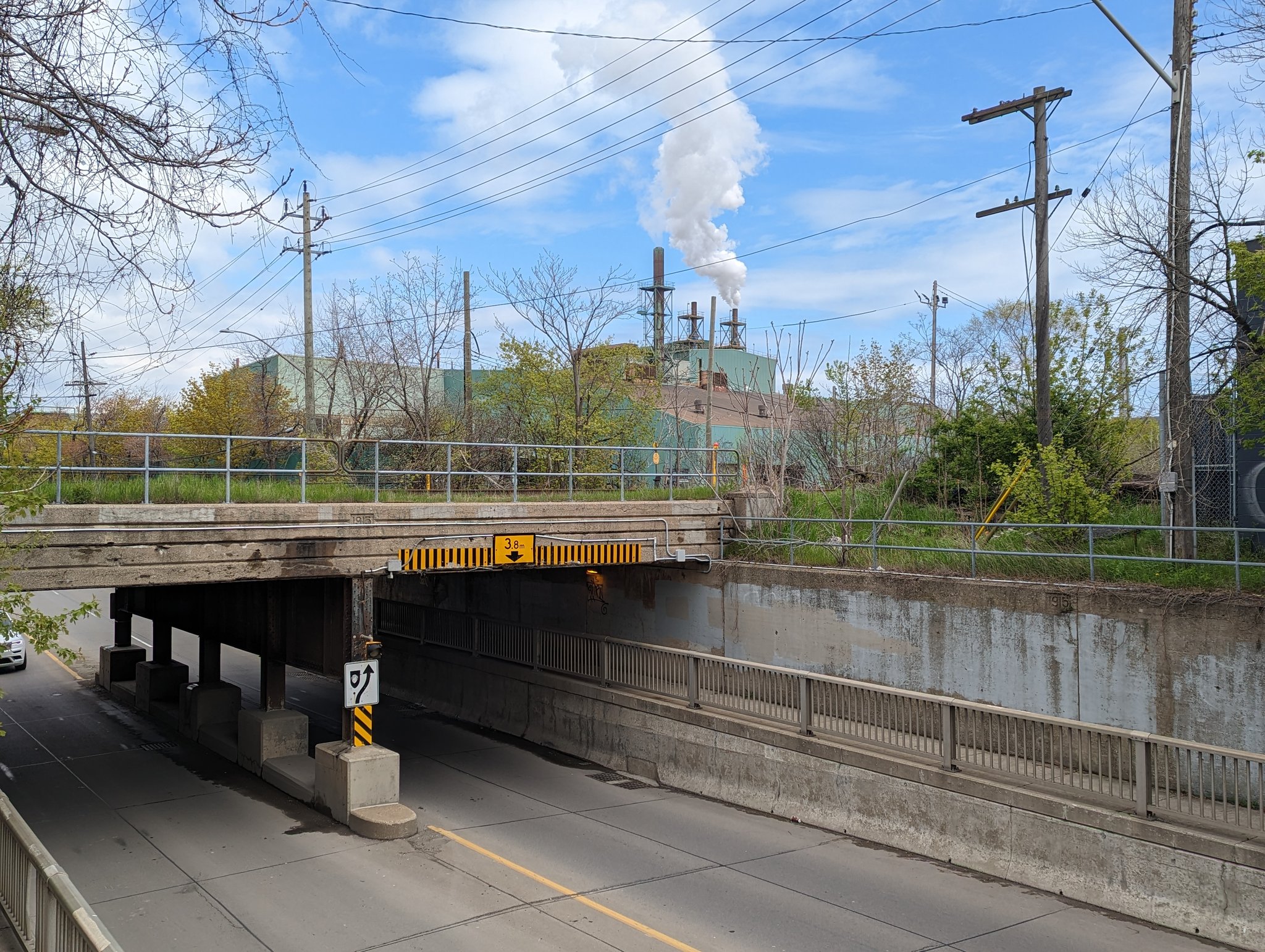
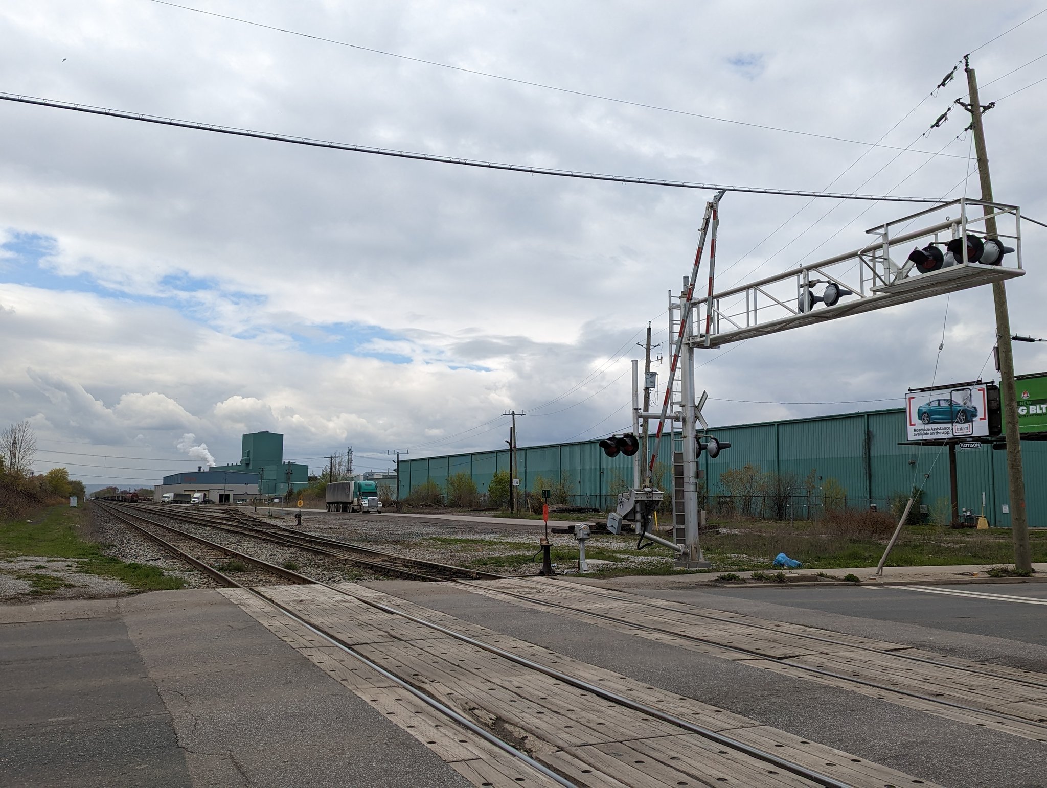
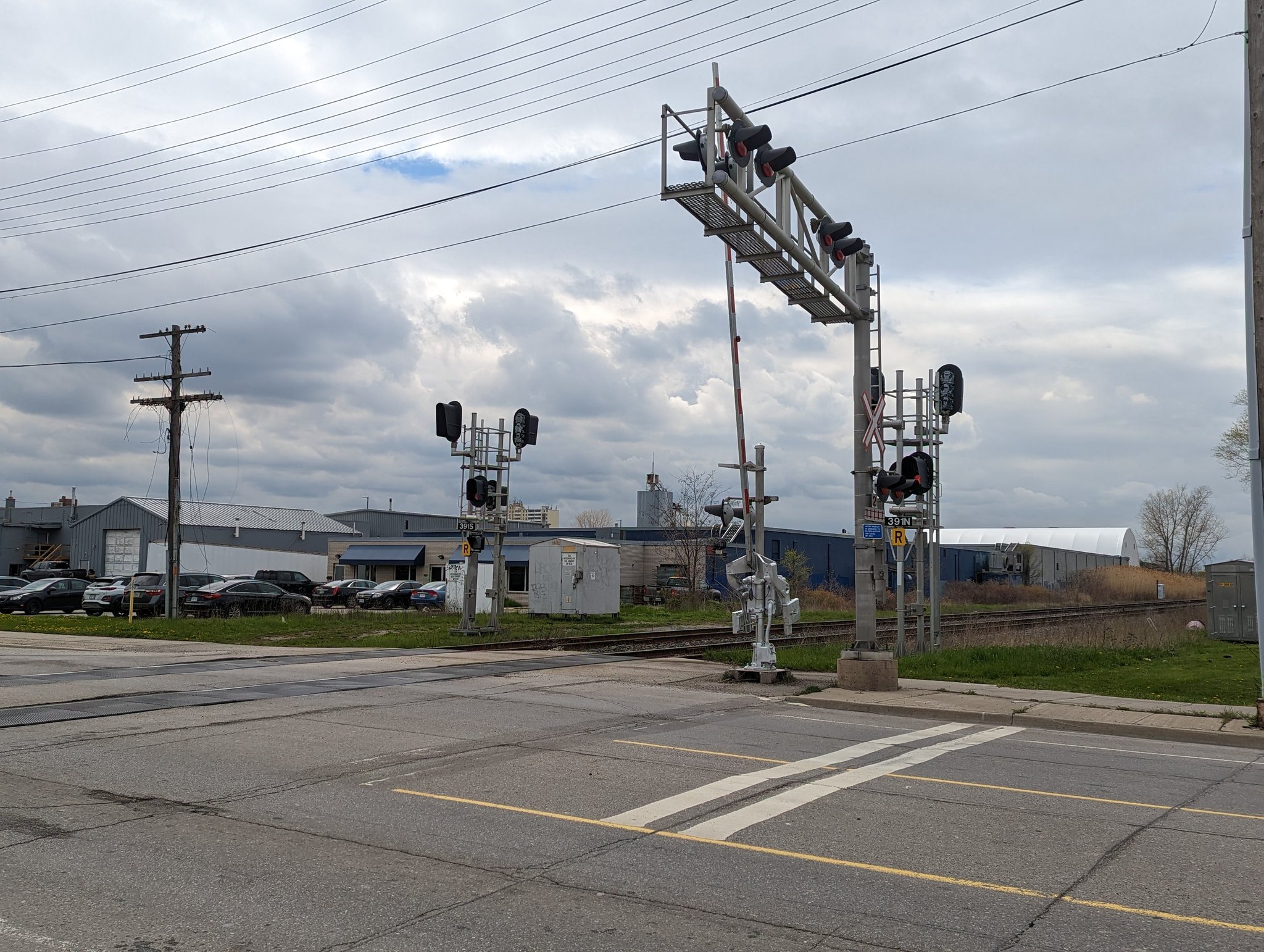
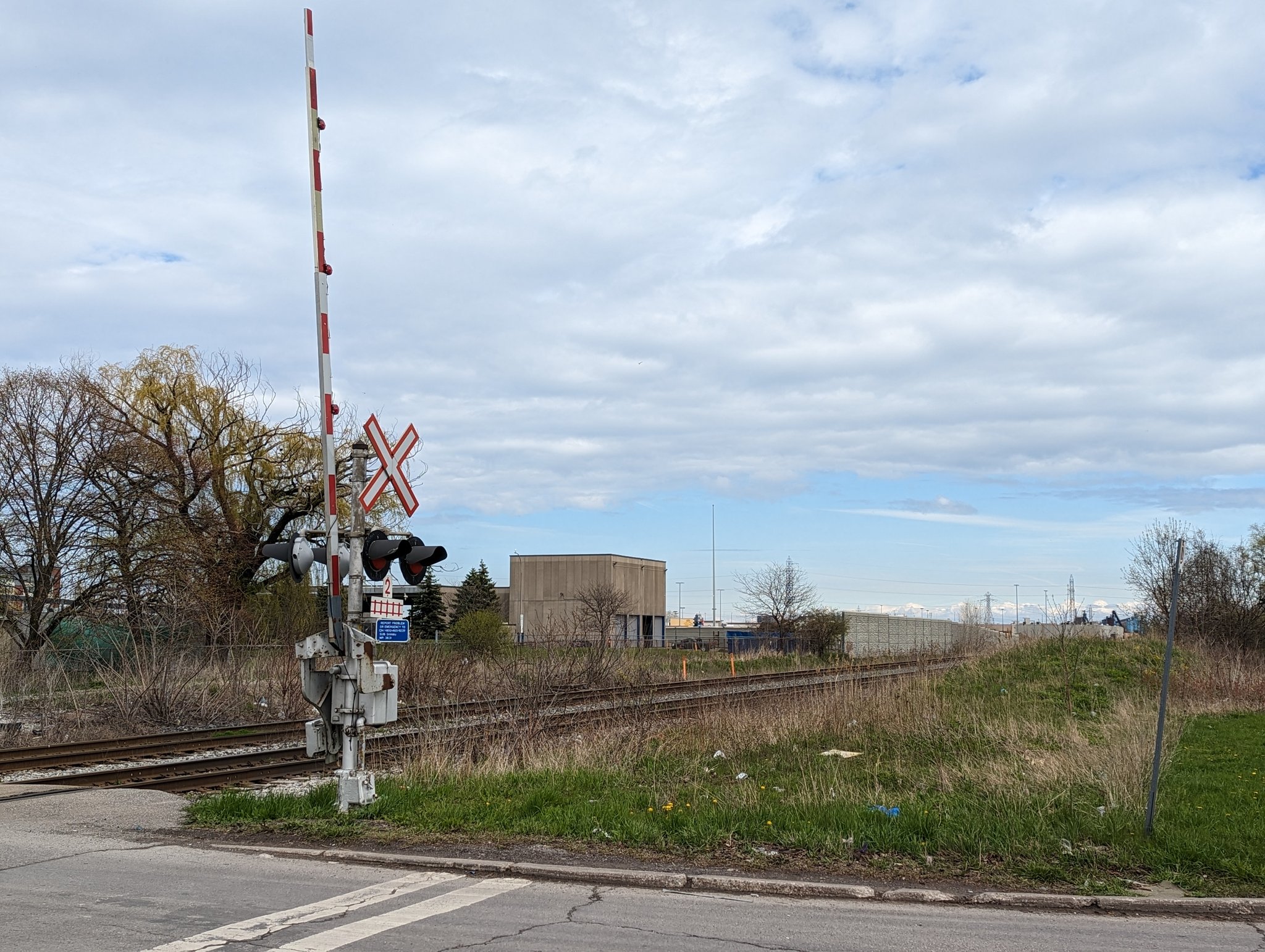
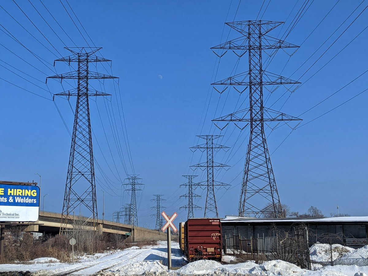
N&NW / Gage Spurs
| Area | 34.8 ha |
| Length | 18.1 km |
| Average Width | 19 m |
| Tracks | 1+ |
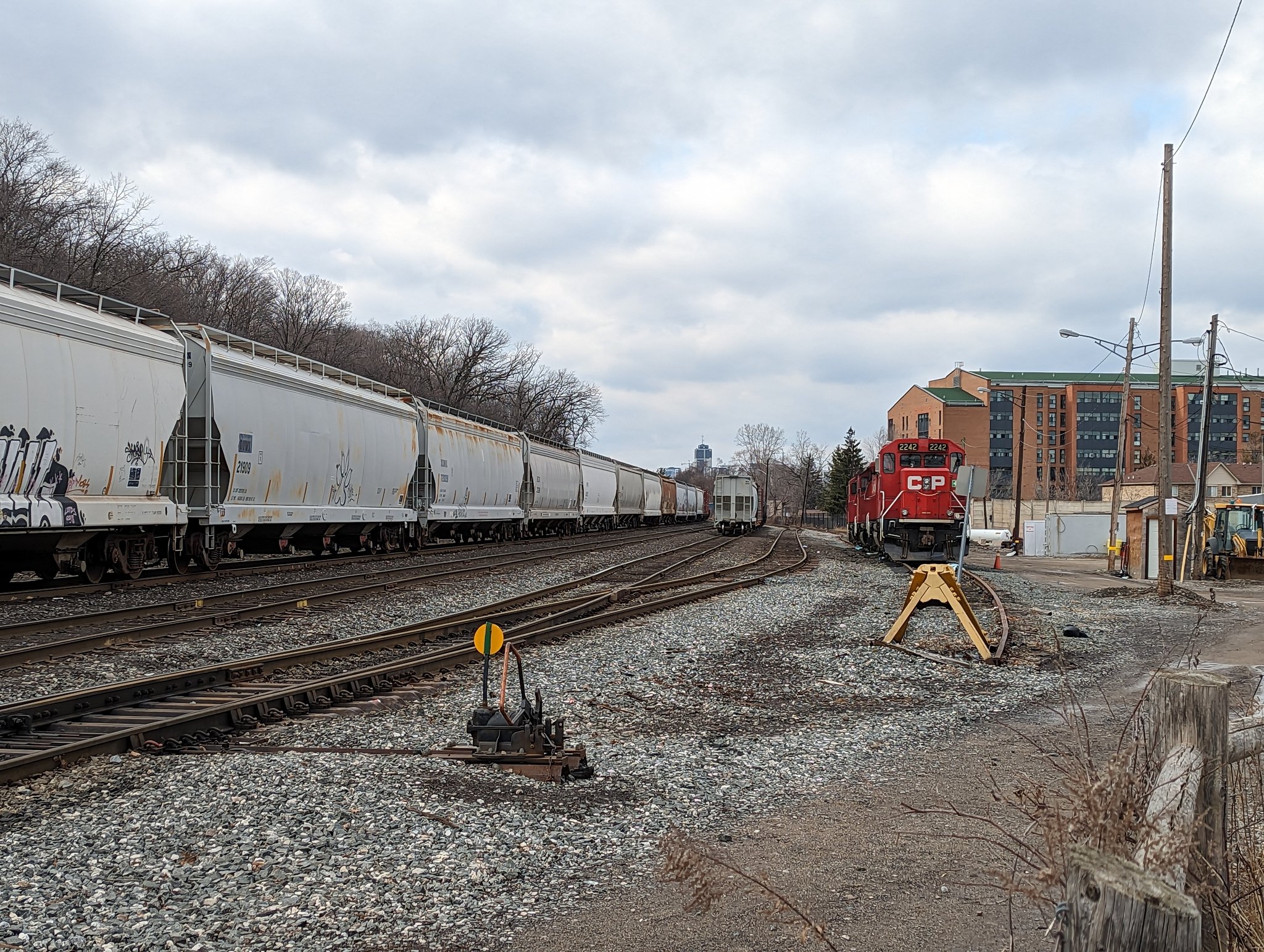
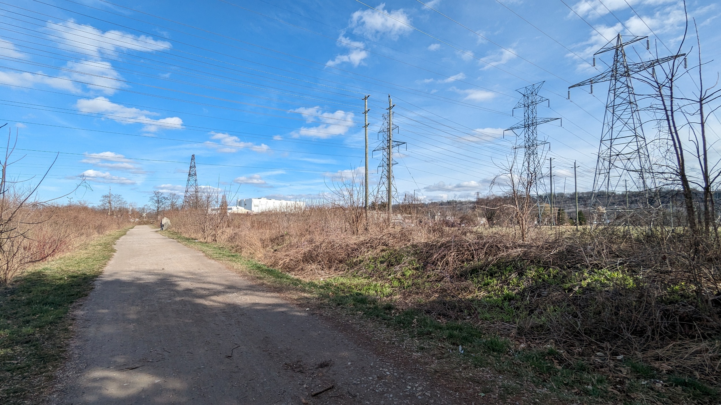
The Northern & Northwestern Railway (N&NW) and Gage Spurs are a collection of tracks linking Hamilton Harbour to the mainlines of CN and CPKC, respectively. Much of the carloads carry still carry steel from the Stelco and Dofasco plants, but some can be other dry and wet bulk and other steel-related materials.
These lines are all delineated south of Burlington Street / Nikola Tesla Boulevard. To try and tease apart what’s a ‘rail corridor’ vs a private spur, and even who owns / controls what, in the industrial sectors north of the road is not a task I have appetite for.
Images below are from Hamilton Industrial and Hamilton Mainline

Notes / Disclaimers
- This data was drawn interpretively, using the Railway Association of Canada’s Canadian Rail Atlas as a general reference. Some interpretive refinements were made, and due to a lack of open parcel data, the exact extent of railway property is a best guess. Therefore this data is provided ‘as is’; please refer to additional disclaimers at the Open Data page.
- While this website advocates for greater active transportation access across and parallel to railways, they are private property and are dangerous places. DO NOT trespass on railways; over 100 Canadians are killed or seriously injured trespassing on or crossing railways each year. Remember that train time is anytime.
This dataset is available in multiple formats through the Open Data Portal