…better late than never?
I’m just getting around to a year in review. It’s the sort of thing you’re supposed to have done on or close to New Years Day. But honestly, I haven’t been too motivated to go over what I accomplished in 2022, because it was a rough year for me professionally and personally. I didn’t have as much time or energy left at the end of the day, and I ended up burning out towards the end.
Nonetheless, here’s a recap. And don’t worry, things are better for me now.
Walks
In 2022, I only got out for 7 walks totalling 116 kilometres, or 16.6 km per walk. This is the lowest annual total yet. Despite this, I was able to push my all-time walk odometer over 2,250 km, which is a nice milestone.
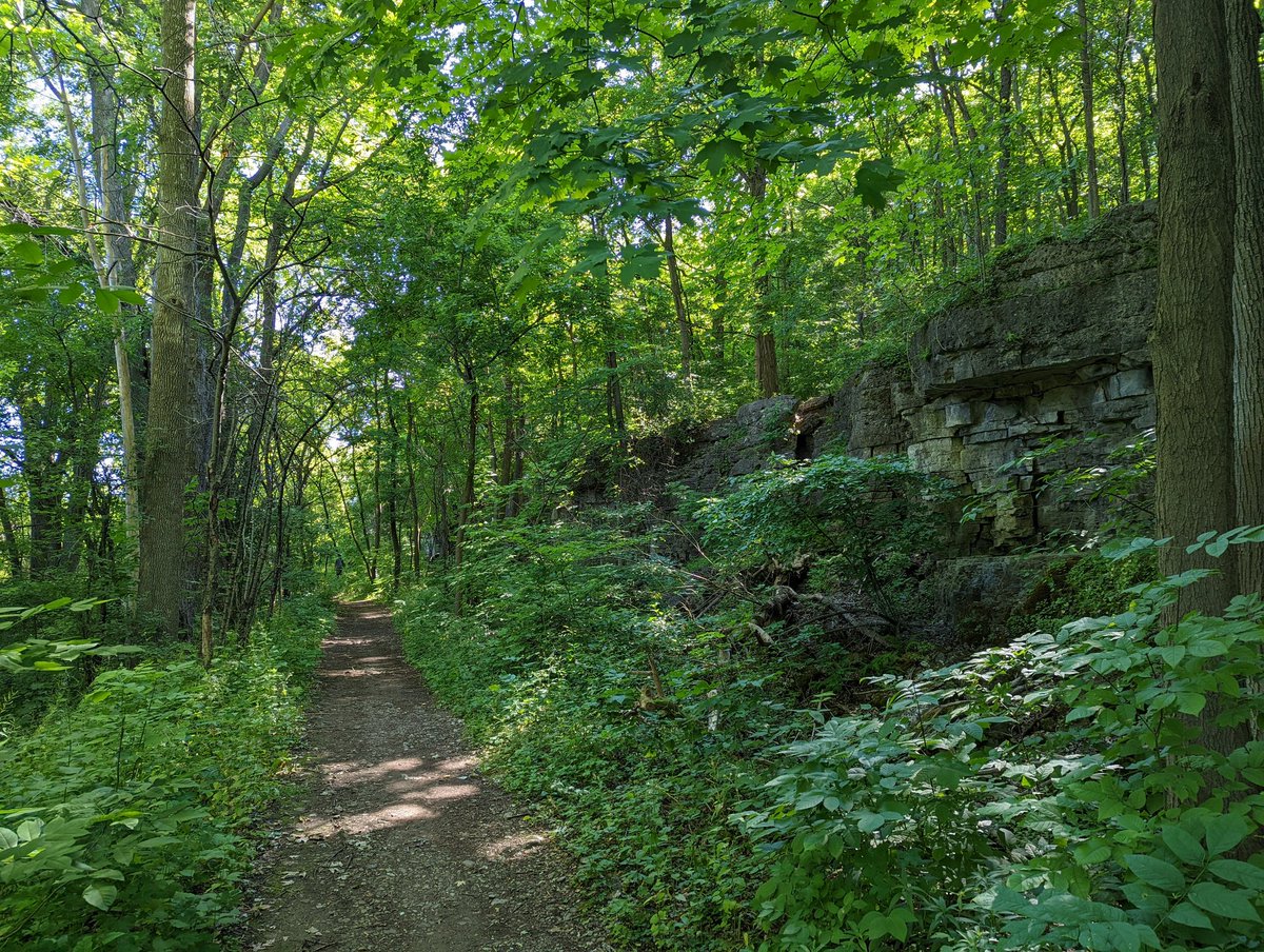
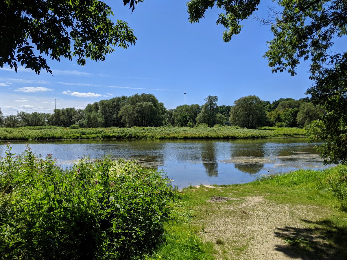
I was able to make three of them within Guelph, expanding my footprint there. This included walking along the Eramosa, a second trip along the Speed, and tracing the City’s lone hydro corridor.
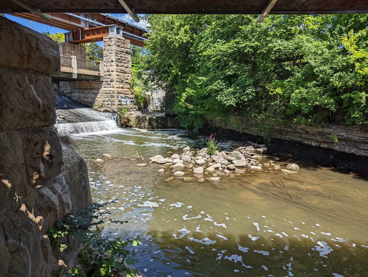

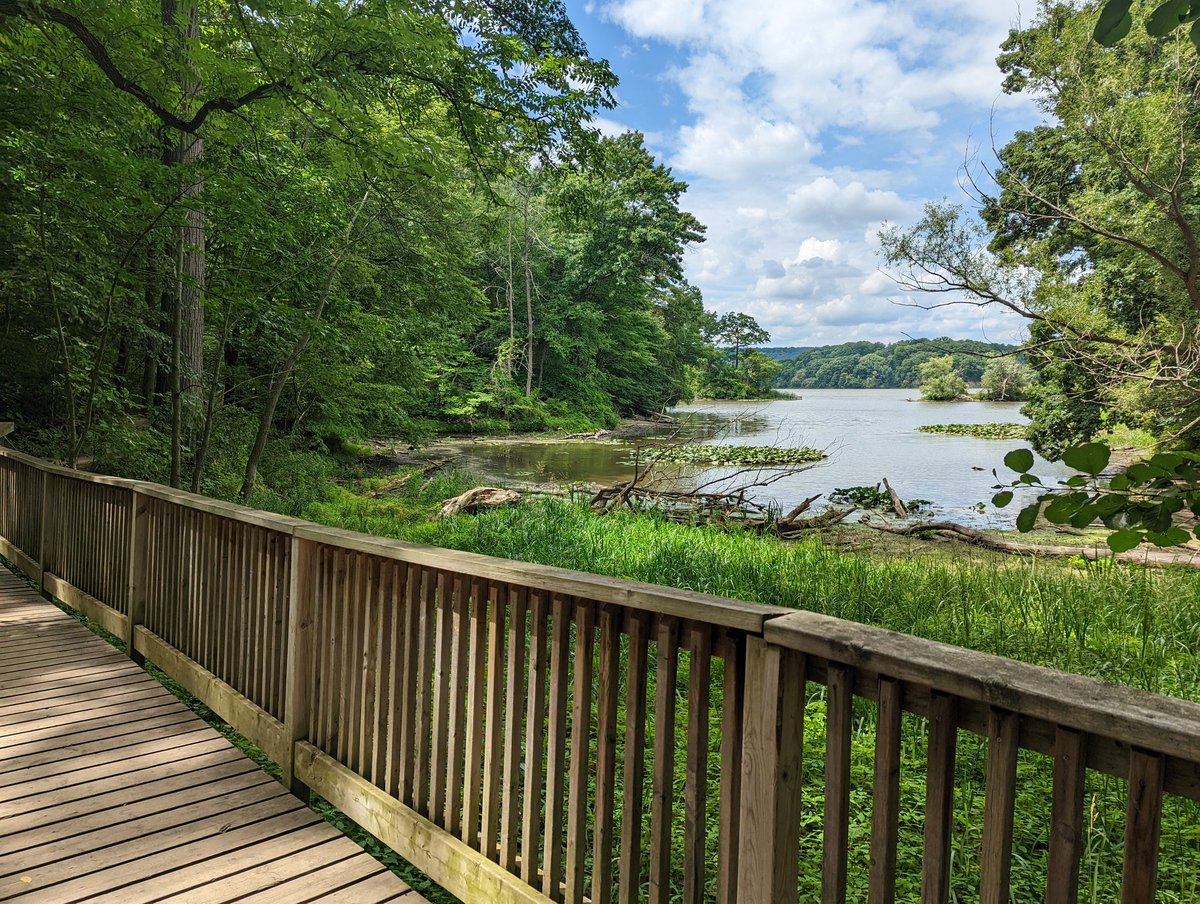
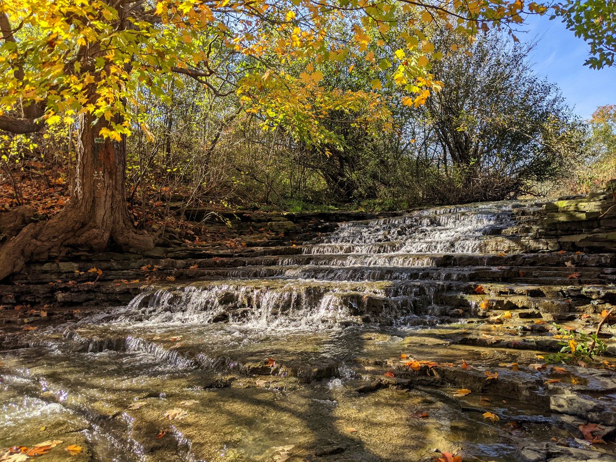
A couple more trips were made to Hamilton. This allowed me to take a journey through a hydro corridor climbing up the escarpment, and follow some shoreline into Cootes Paradise.

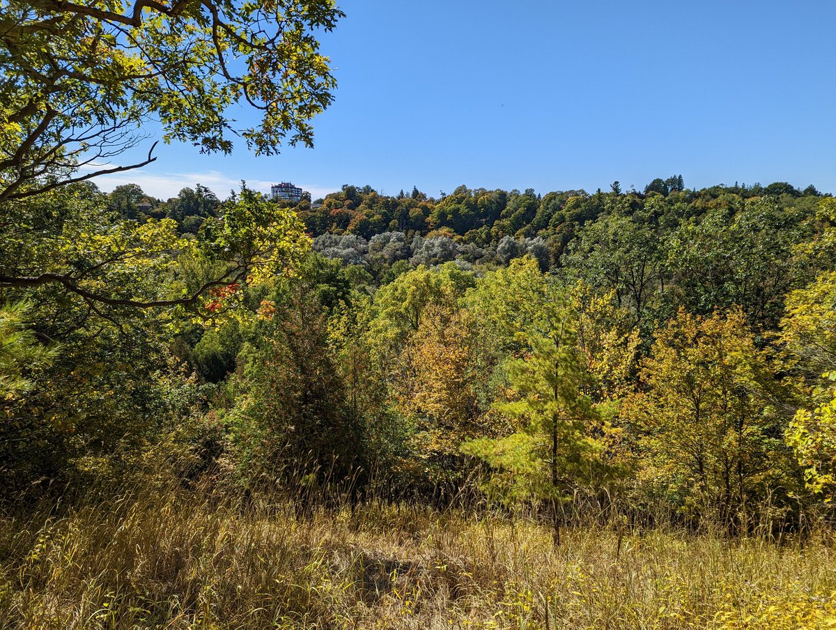
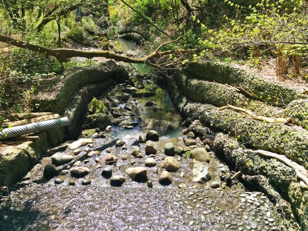
Lastly, I also made two more trips back to Toronto. One was a long re-do of a midtown hydro corridor, and the other was a trip up the Rouge River (which was cut short due to illness).

Projects
Migration
So one of the biggest projects of the year was migrating all of my walks from Twitter onto this website. This was a long outstanding item on my to-do list, and it took 8 months to (mostly) complete, but I did it.
I was prompted to do this by the bird site being taken over by its new owner. Things haven’t catastrophically collapsed, they may be crumbling in the back end. Regardless, it’s still a great thing to secure your work on a domain you control. I also now have the benefit of being able to easily pull any of the almost 6,000 active walk pictures into different pages (such as those above, or these below), to make for richer content.


Refresh
I converted three more projects into GIS: Guelph watersheds, Toronto hydro corridors, and the Toronto shoreline. Maybe it shouldn’t, but it always surprises me how close my hand-drawn data was to more precise GIS lengths and areas.
New Project: Riverbank
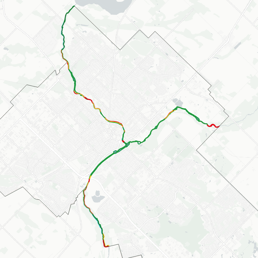
One big change was realizing a goal I had set out to do ever since Metroscapes became a multi-city project: transplanting my shoreline project series to something similar in city flung away from the Great Lakes. That’s where the Riverbanks project comes into play. I can now break down the ownership of each bank, and the overall reach, of major rivers within a city.
Open data portal

Another big achievement was taking all of my project data, and providing it as open data. I have no desire to be a sole keeper of all this information, nor profess that everything I do is right, nor claim I’m doing all there is to be done for cities I cover at the time of writing.
So I’ve made my project data open for download. I hope it’s useful, and can help someone else in their own analysis.
Blog Posts
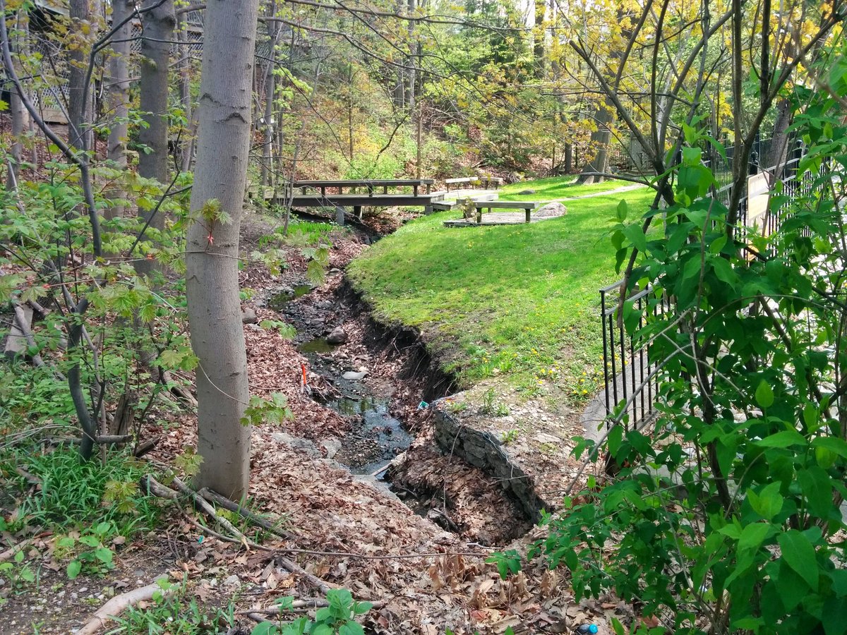


In the process of migrating my walks, I got a better recollection of how I got here; how walking and sharing on social media used to be sparse and disjointed, and grew into full documentation of certain features. The big spark for that transition was when I took a walk and documented the upper reaches of Yellow Creek.
The engagement I got on that was significant, so much so that it made me re-evaluate how I was doing my walks and what I was doing with that first-hand knowledge. It was half a year later that I relaunched this website into something resembling what it is today.
Looking Ahead
I usually have some grand things to muse about at this point, but writing this over two months late tells you where I’m at. I’m still too busy to make big promises. That’s not to say I don’t have plans, I always have plans, it’s just a long list with little time to complete much.
So, let’s just catch up in 9 months and see what’s up.
