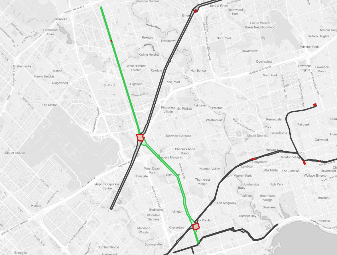
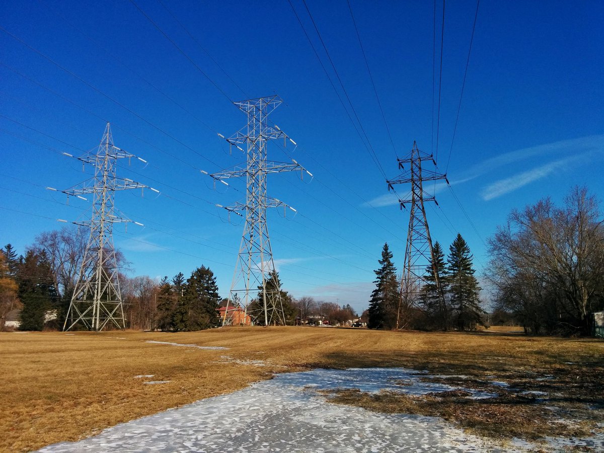
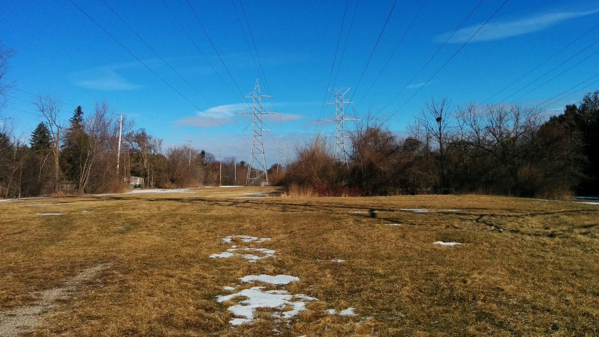
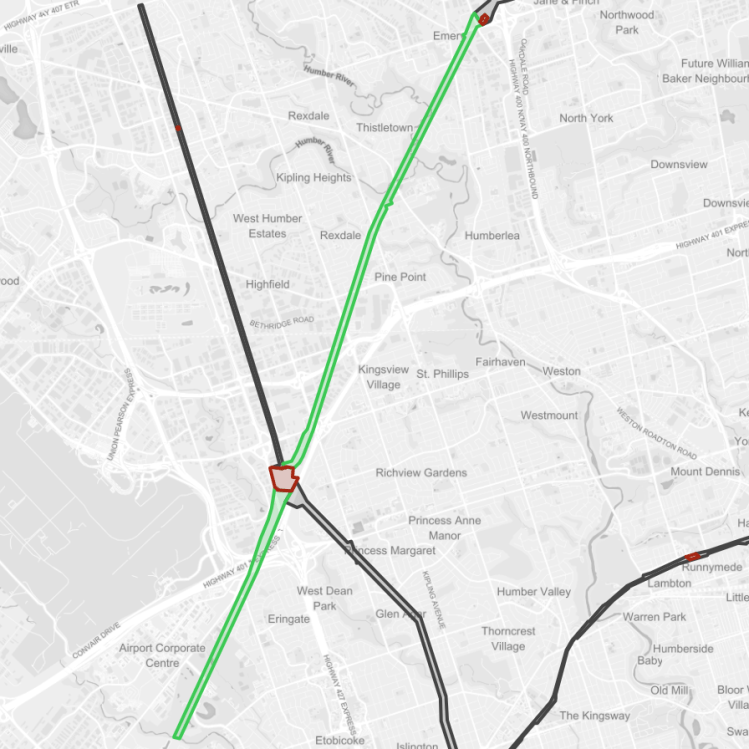
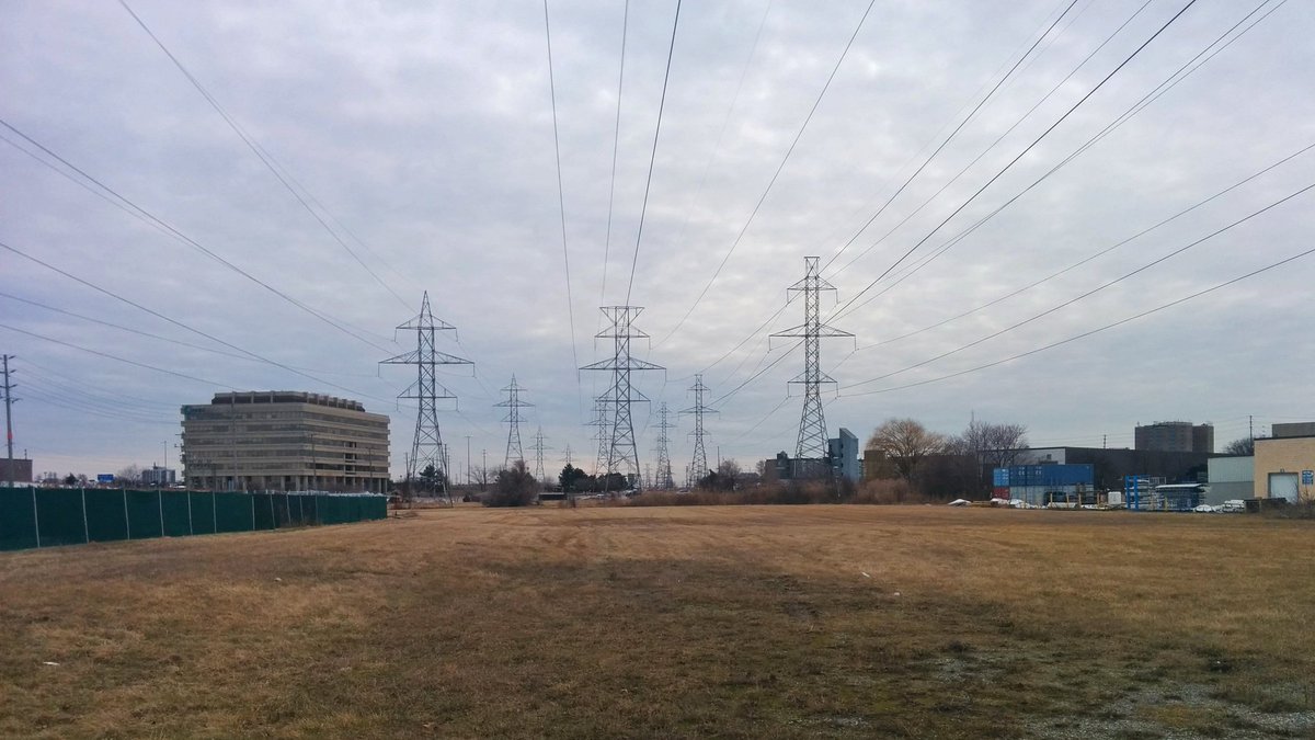
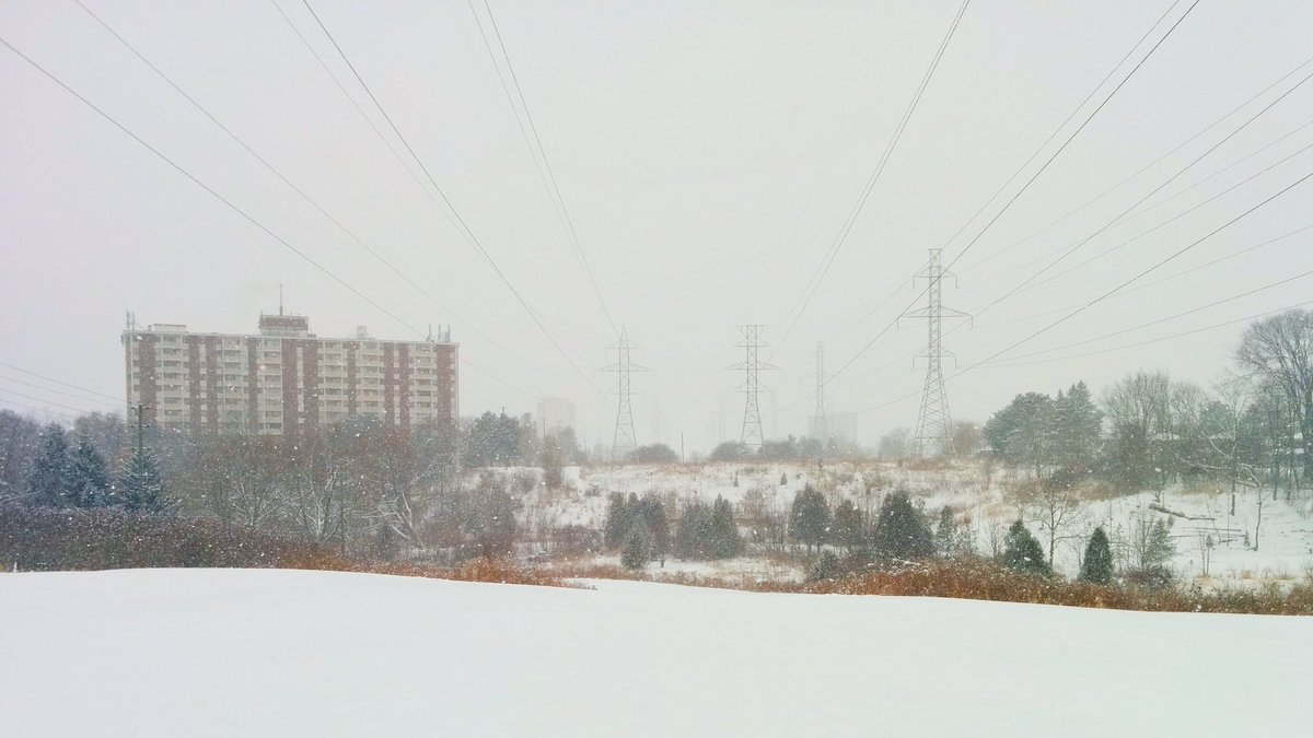
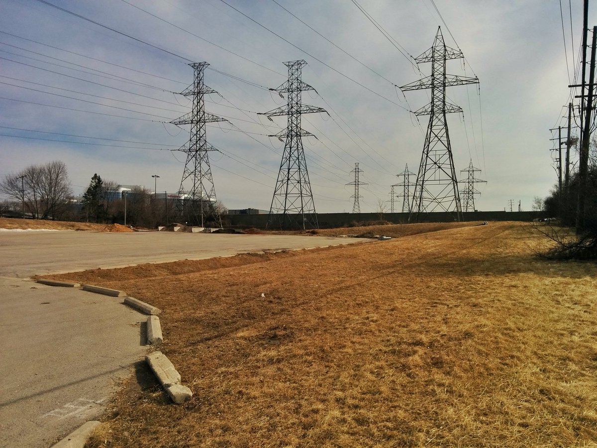
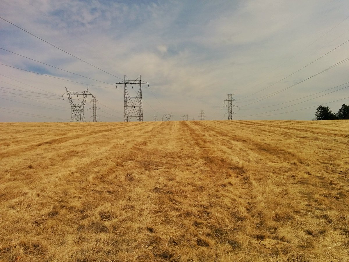
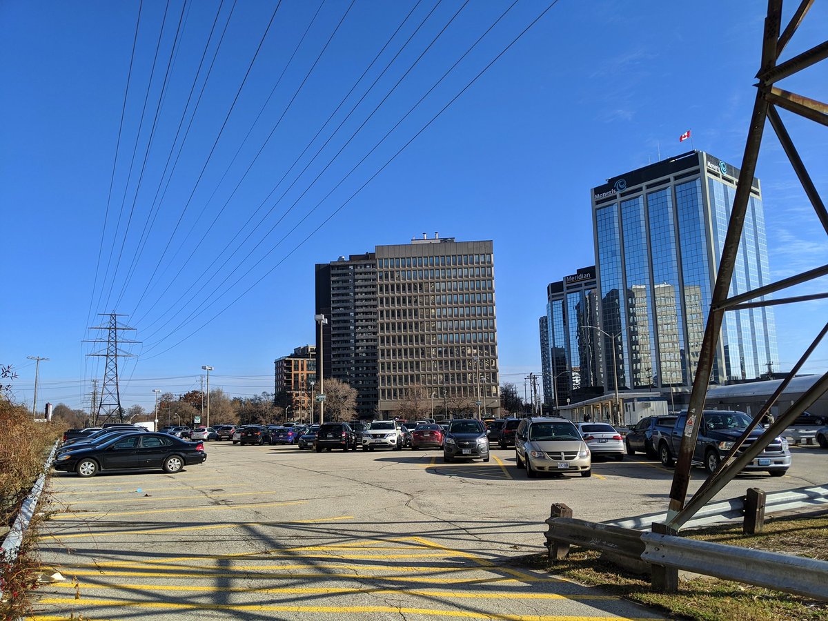
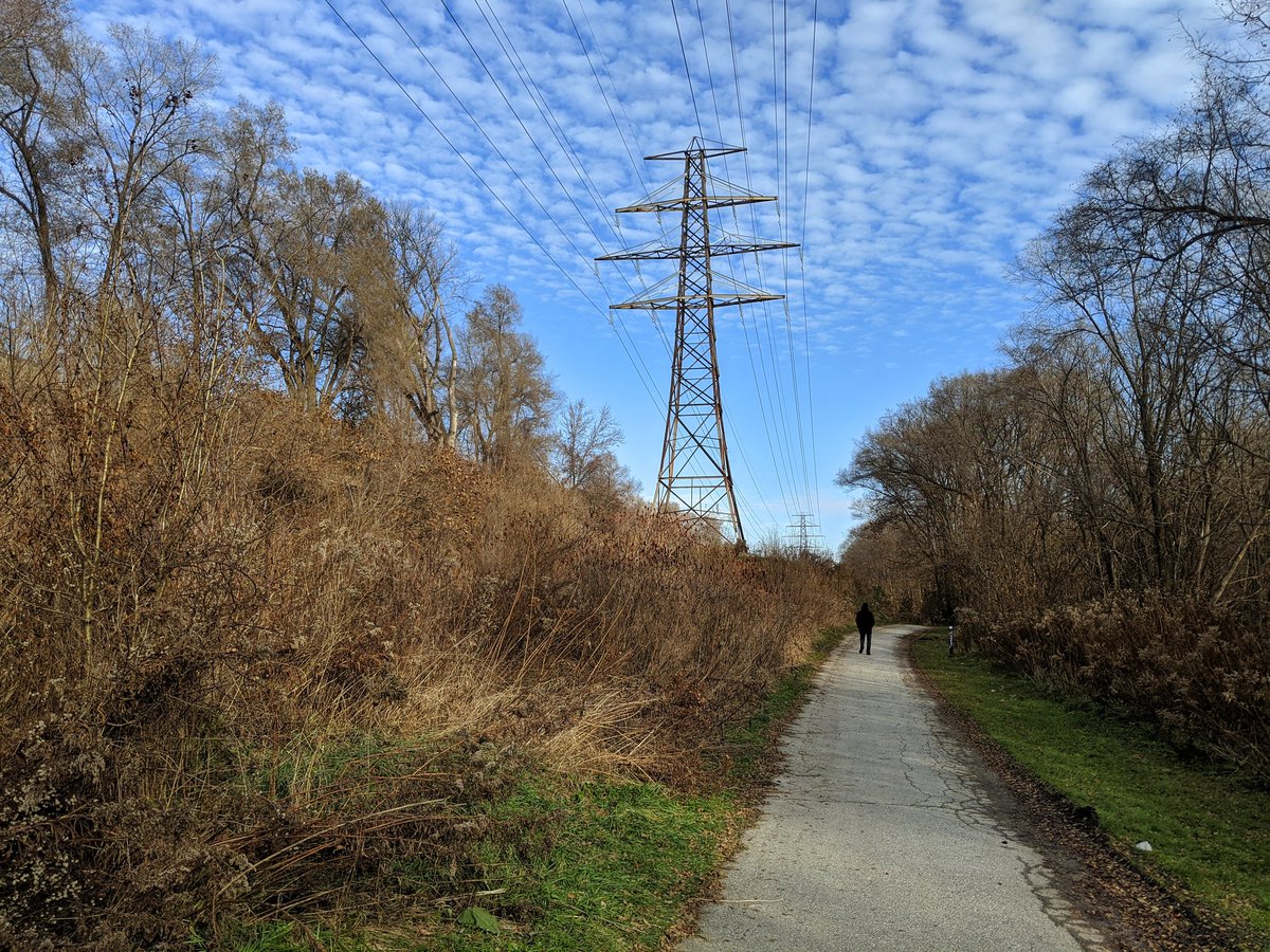
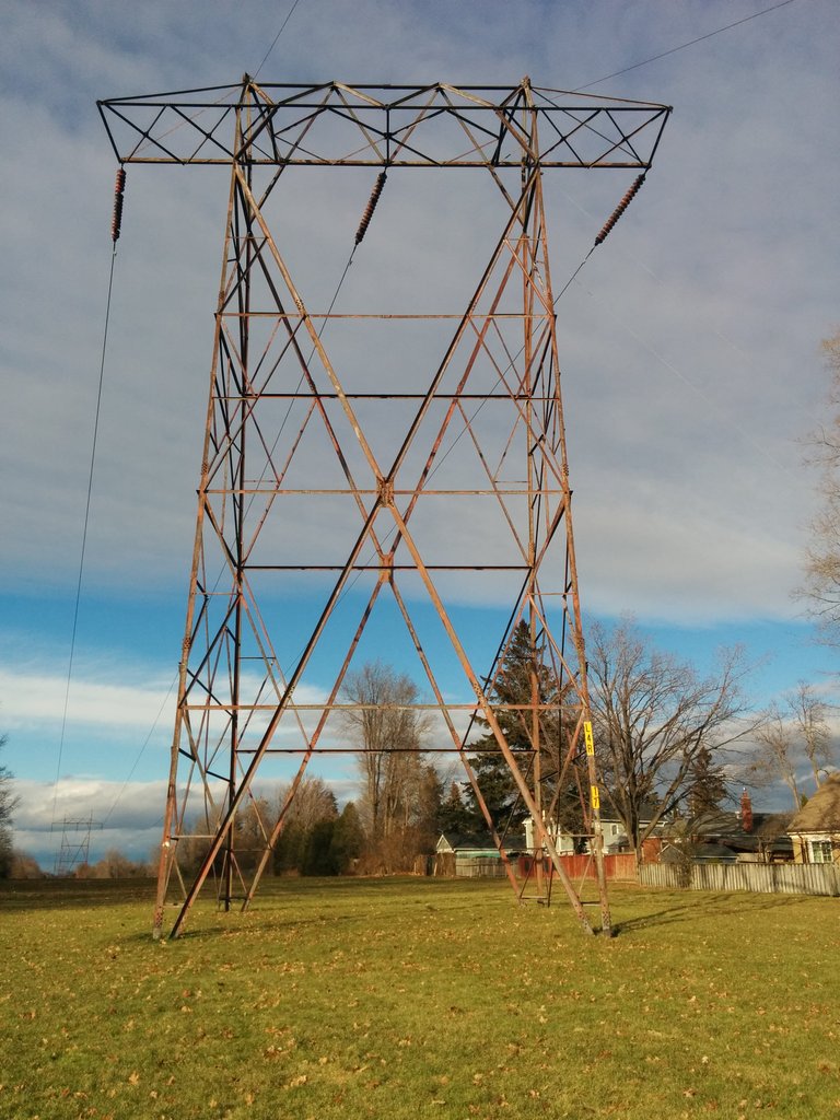
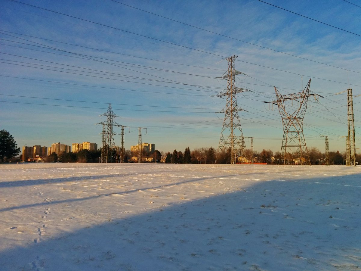
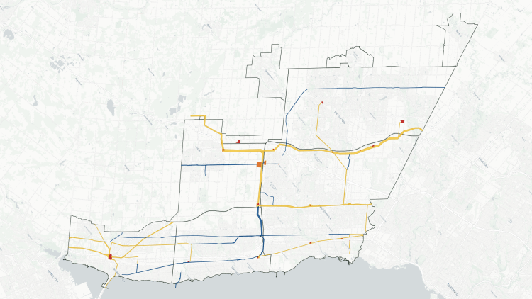
There are 13 utility corridors in Toronto, mostly dominated by high-voltage hydro transmission towers, but occasionally sharing space for oil or gas pipelines. They stretch a total length of 160 kilometres (5 times longer than the Gardiner Expressway and Don Valley Parkway put together) and covering an area of almost 1,400 hectares (equal to an area bounded by Queen, Parliament, Bloor and Roncesvalles).
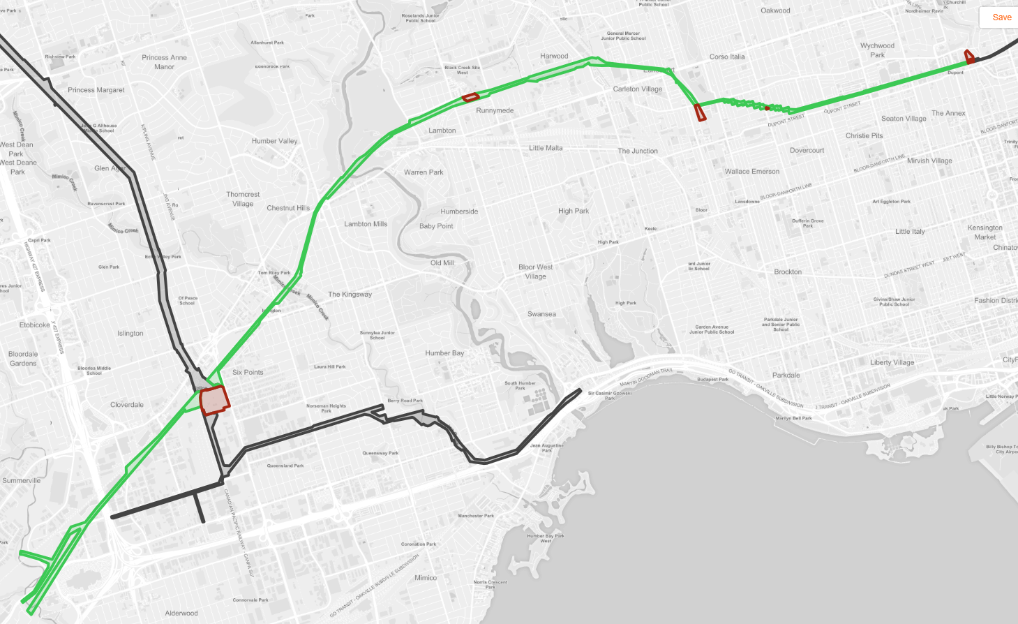
That’s a significant amount of landmass, and a naturalization project along the Gatineau Hydro Corridor will naturalize a good chunk of the total hydro corridor landmass (10% of the length and 20% of the area). Expanding what I refer to as “the Meadoway treatment” could go a long way towards adding to Toronto’s natural ecosystems and active transportation network. Below is an interactive map of the system, a profile of each corridor, and a summary table of their dimensions.
Table of Contents
- Gatineau
- Royal Railside
- Etobicoke Spine
- Humber-Pearson
- Finch
- Crosstown West
- Midtown
- Scarboro-Oakridge
- Taylor Creek
- Don
- Beltline
- Warden
- Bathurst
- Notes and Disclaimers
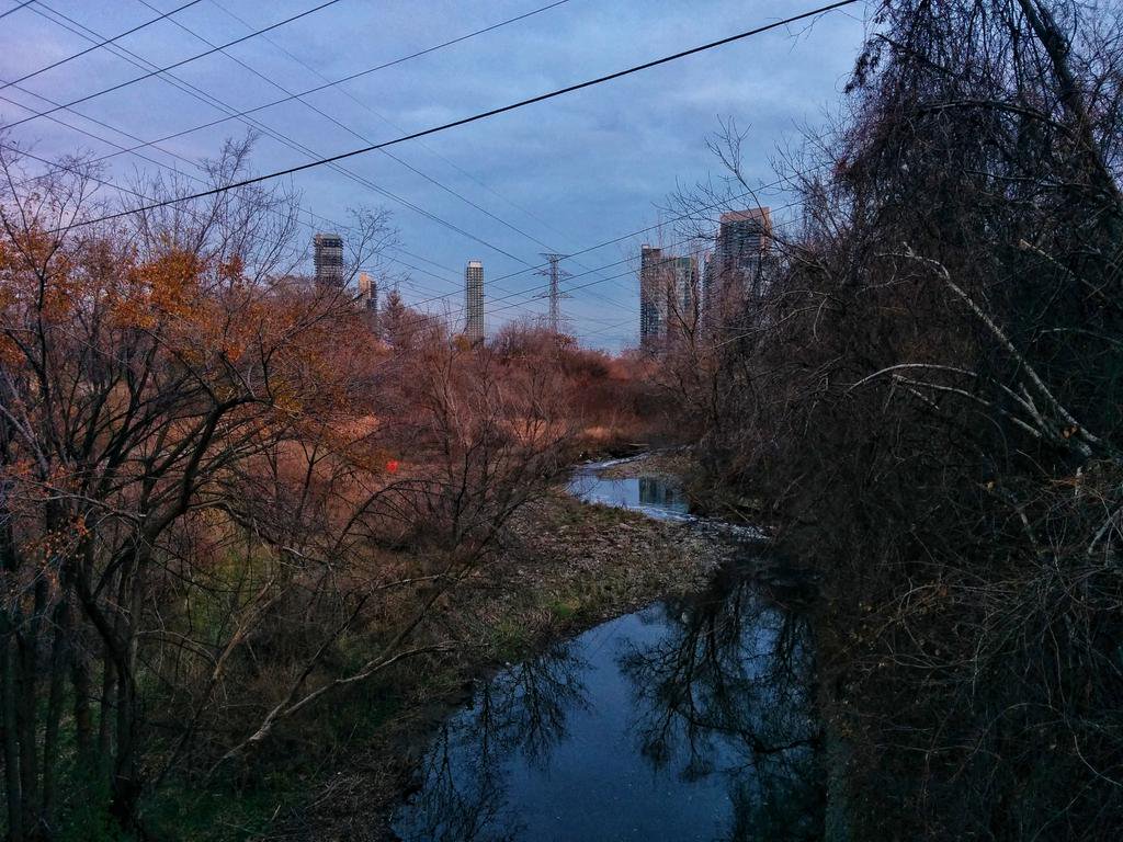
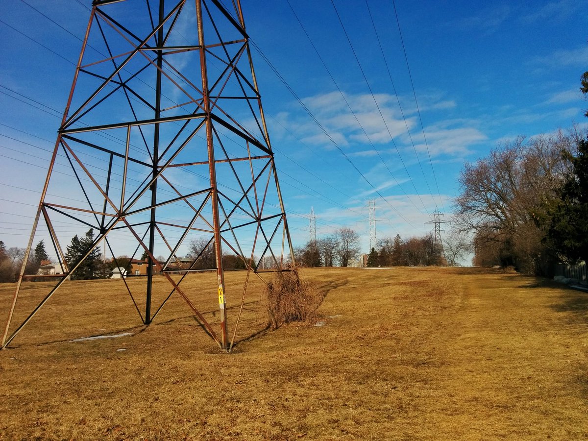
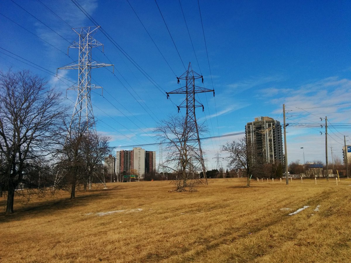
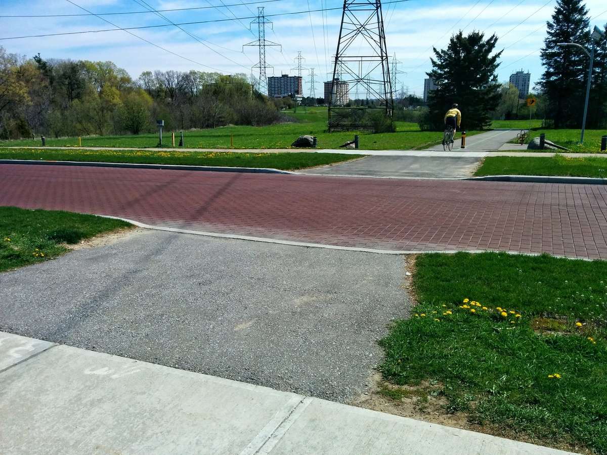
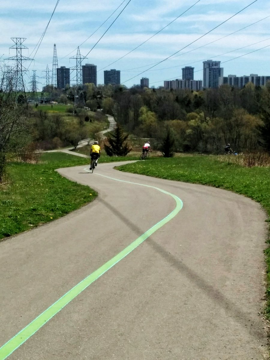
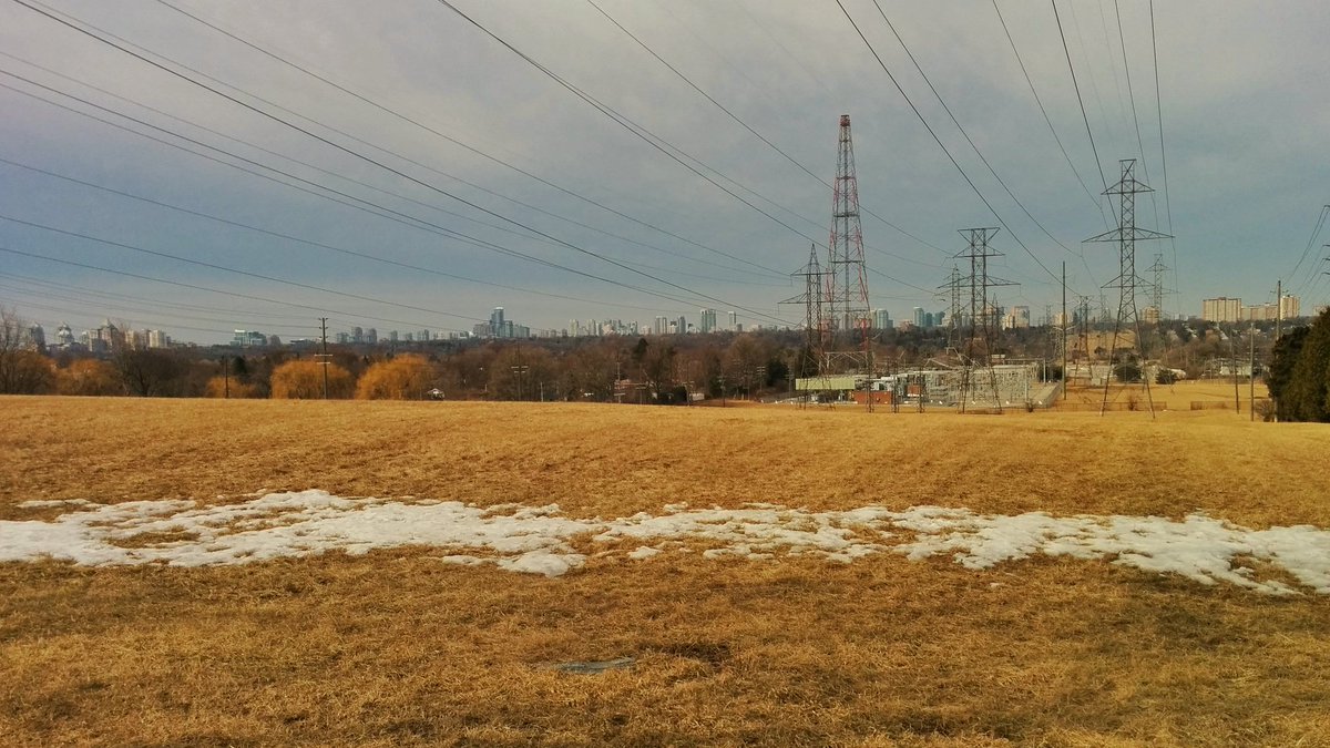
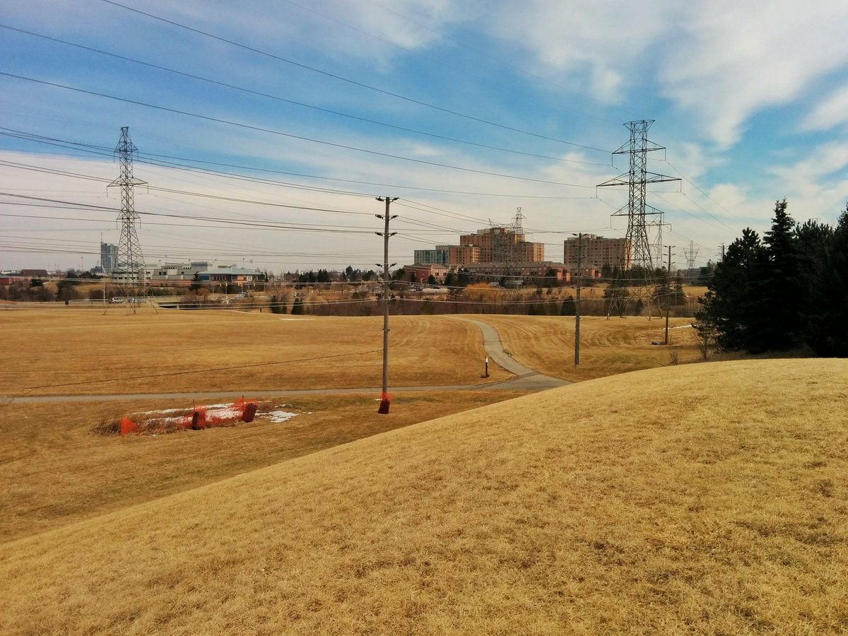
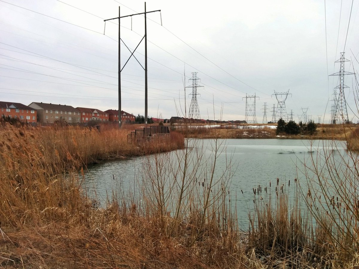
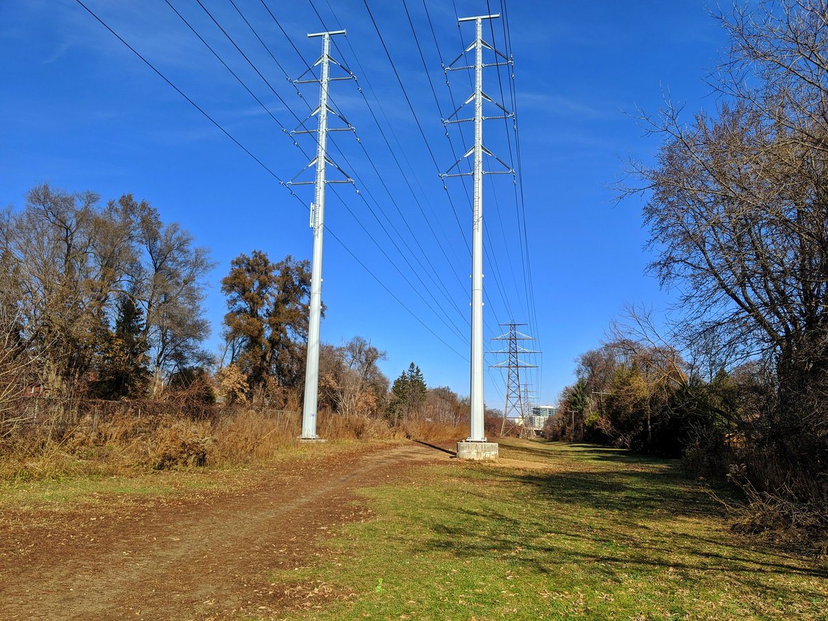
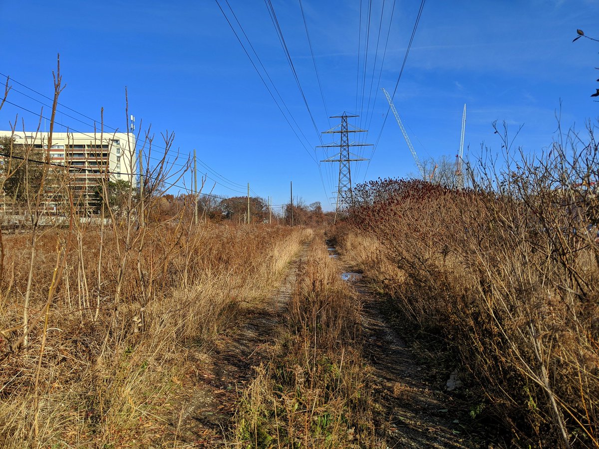
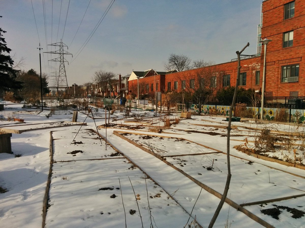
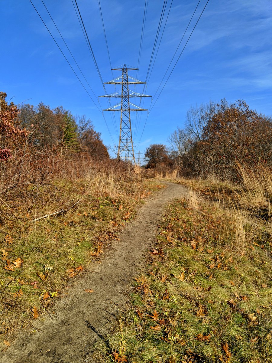
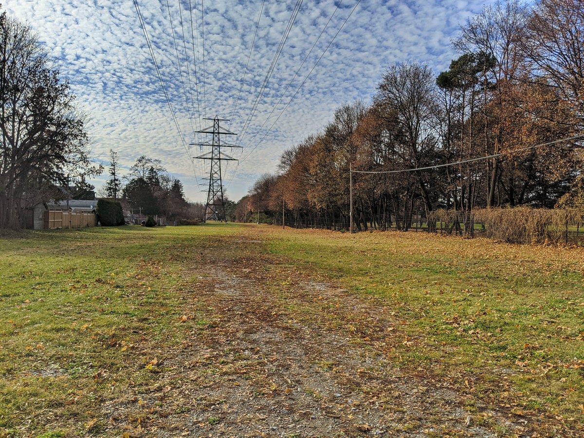
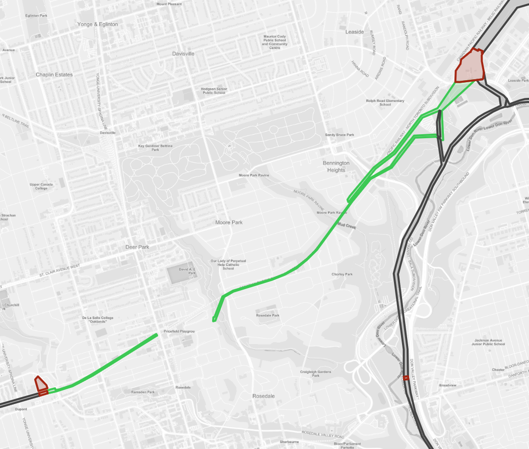
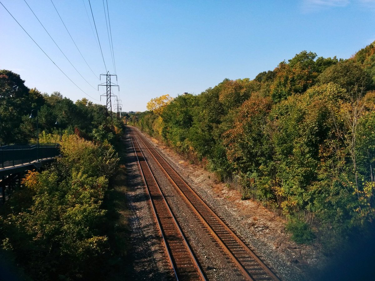
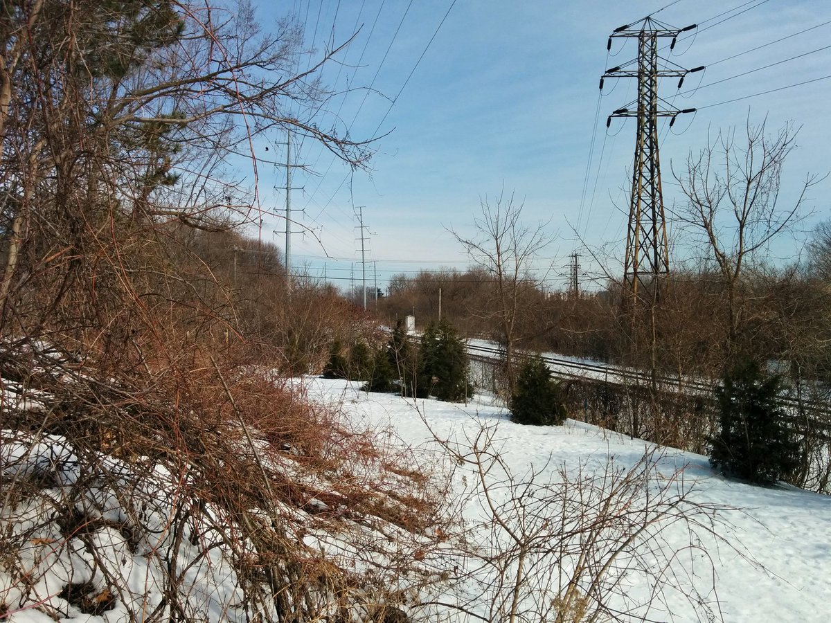
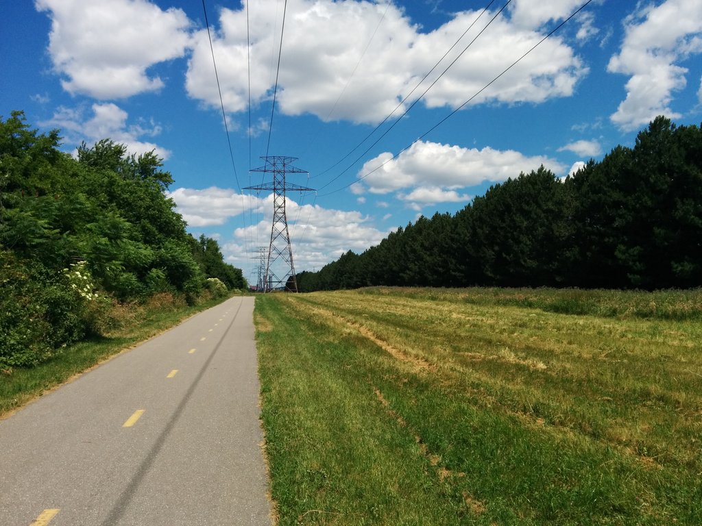
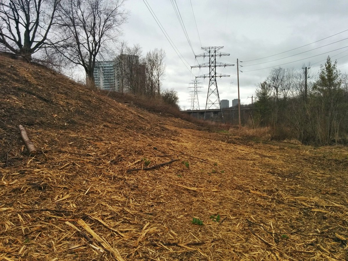
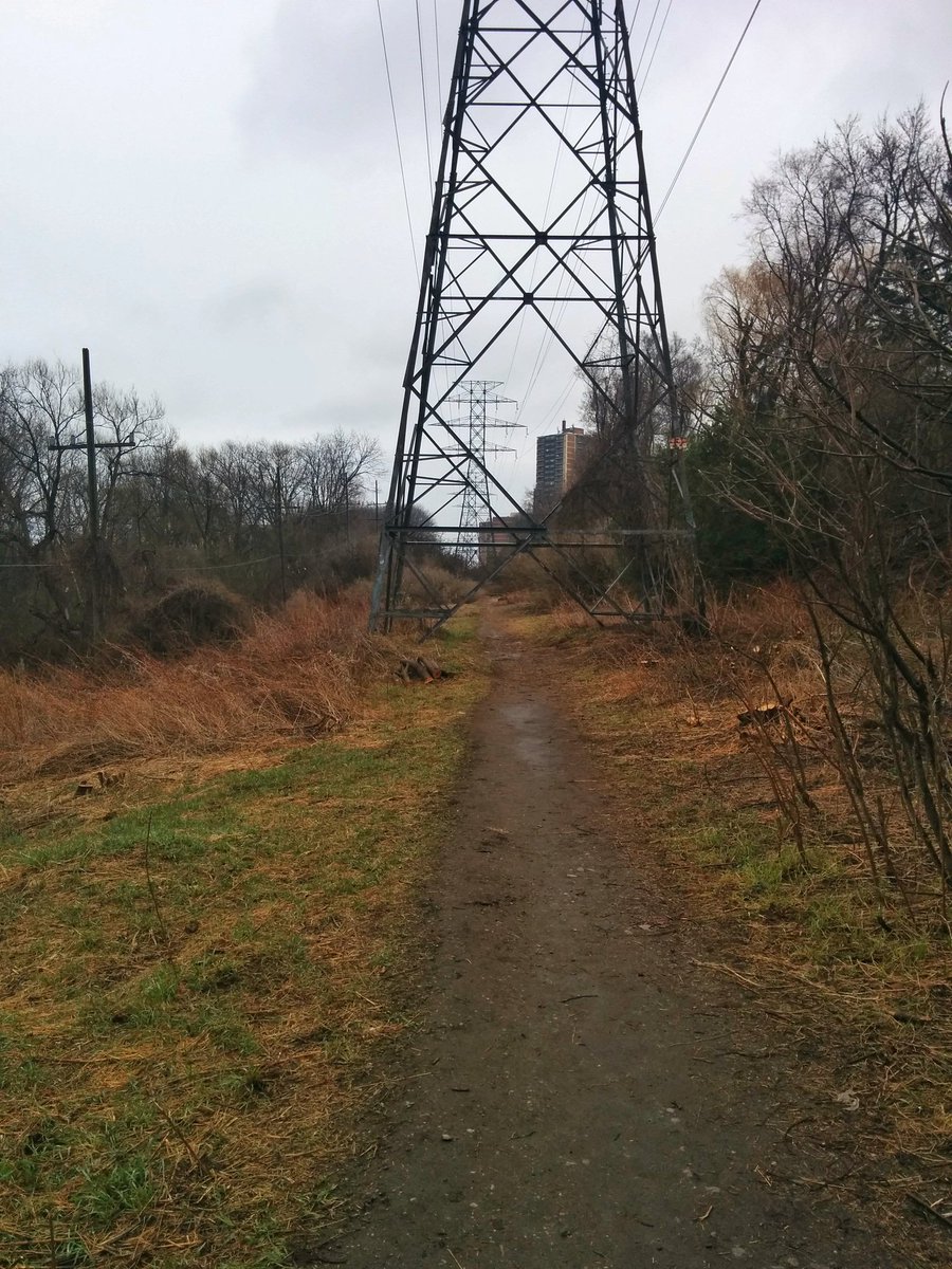
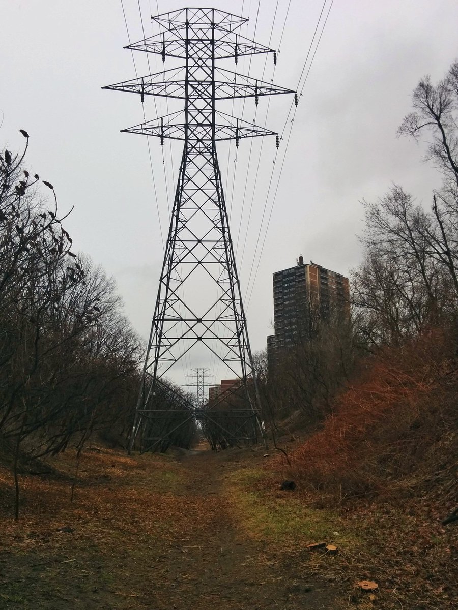
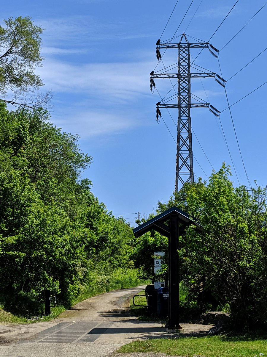
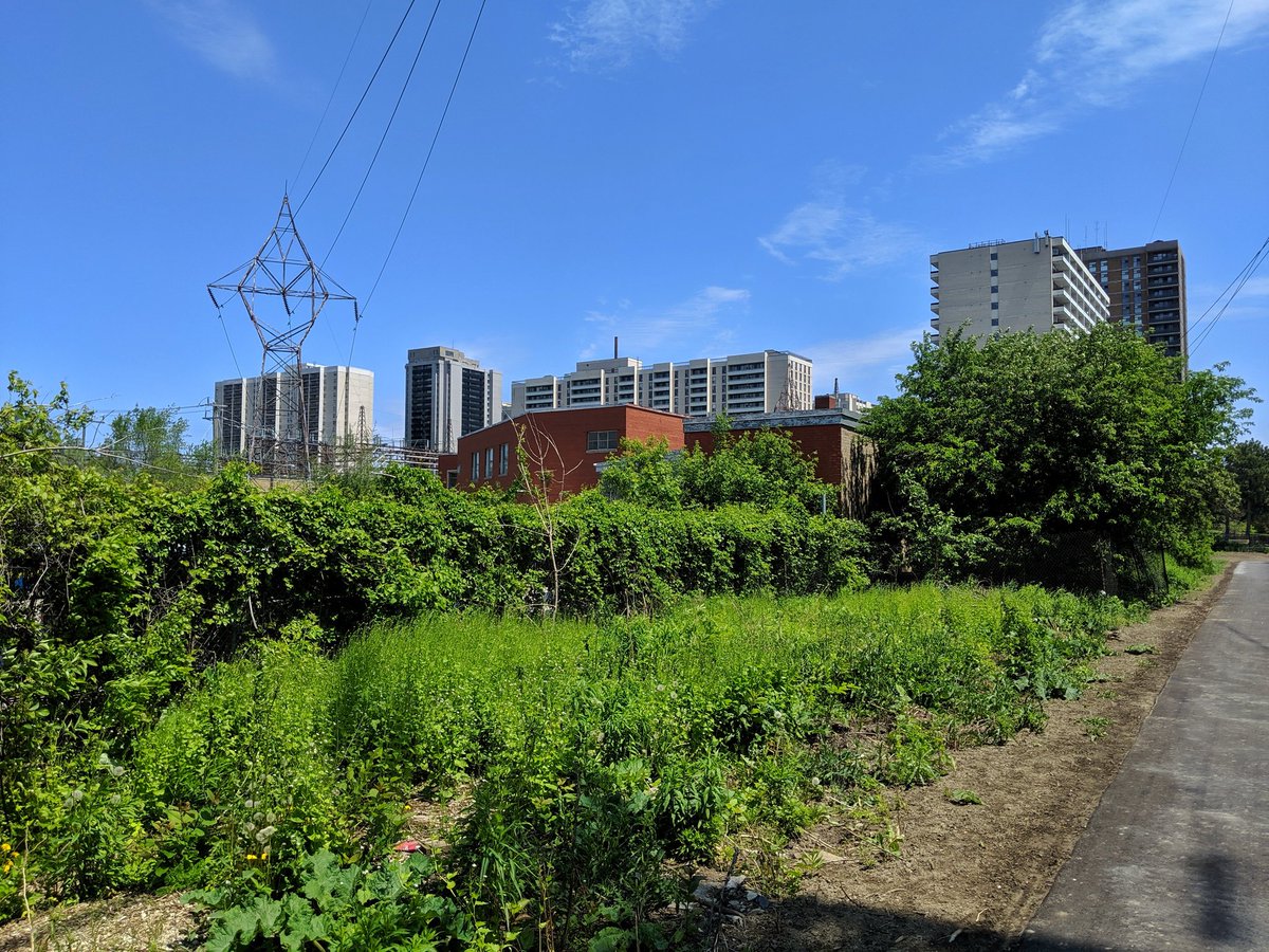
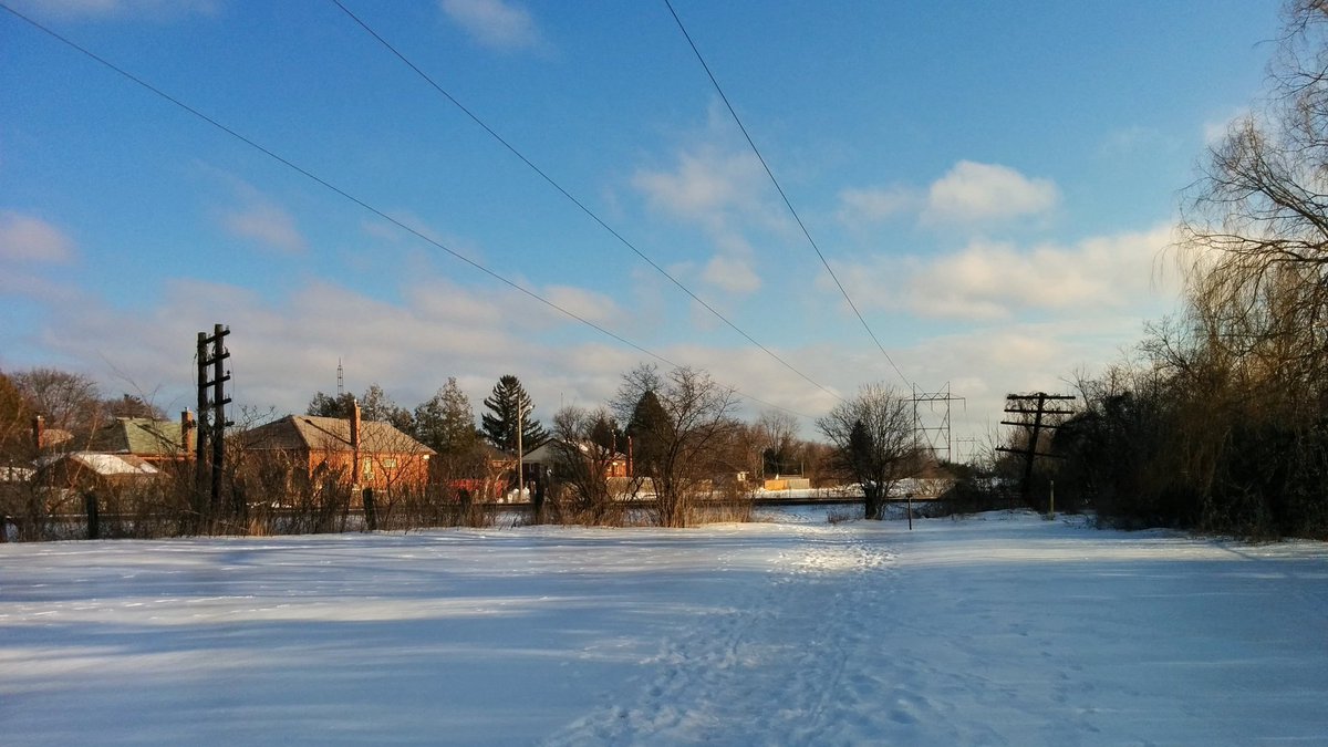
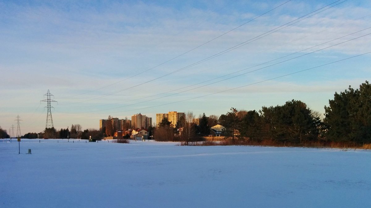
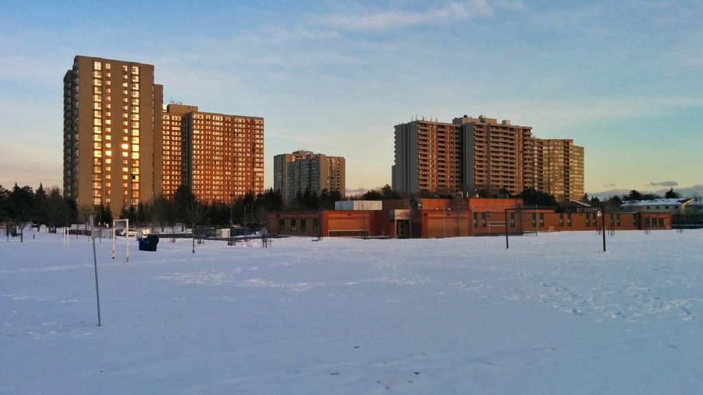
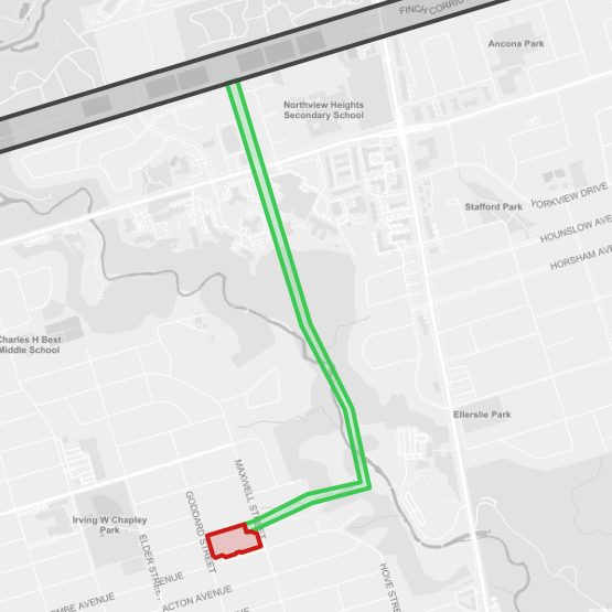
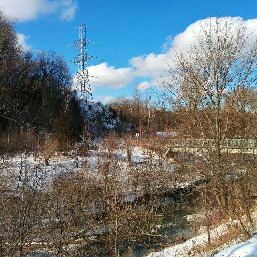
Gatineau
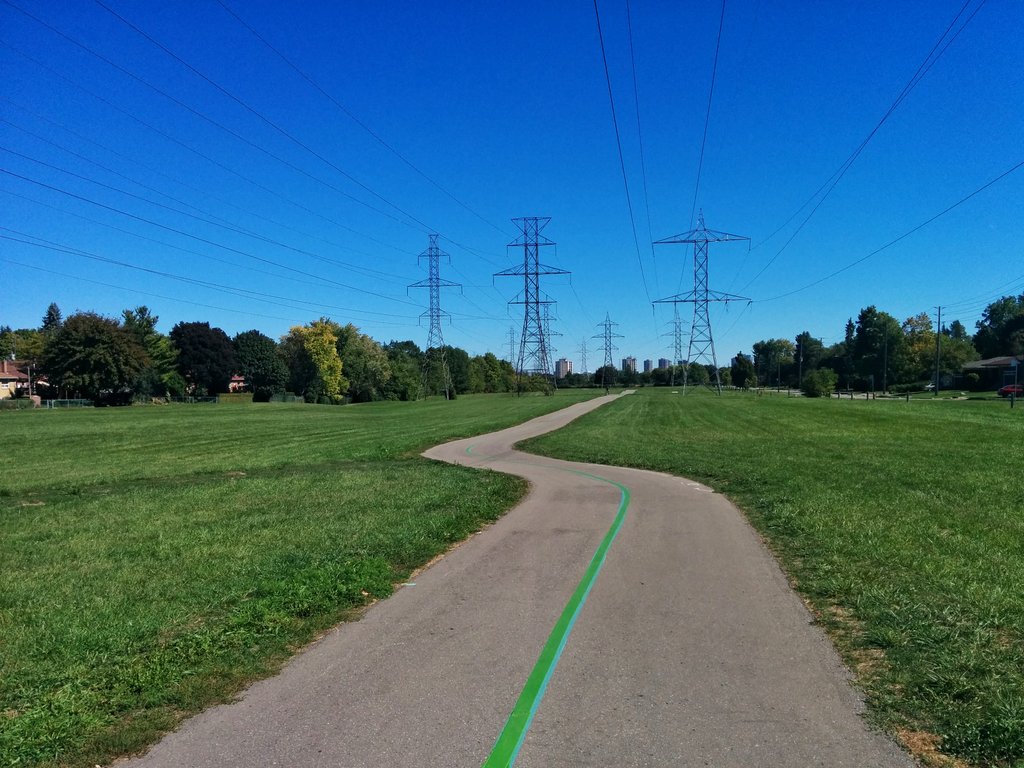
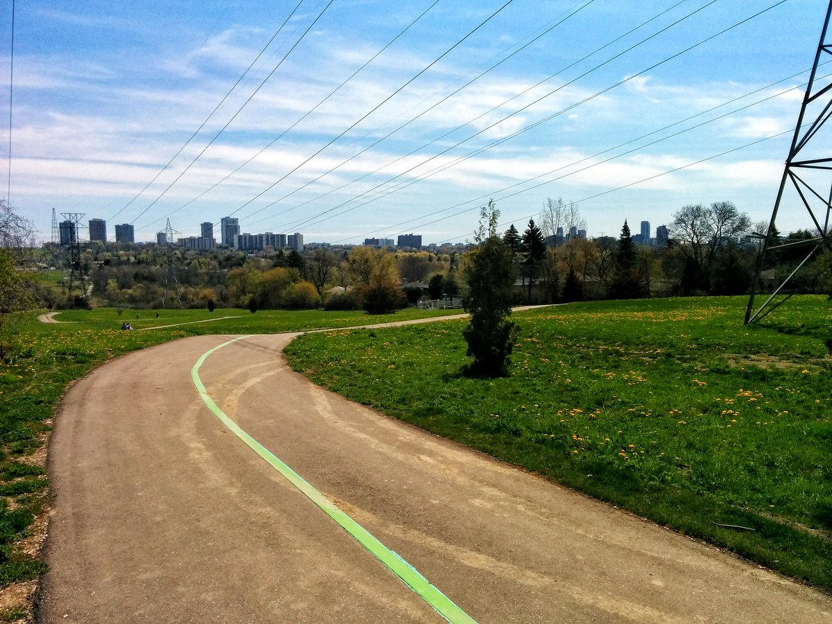
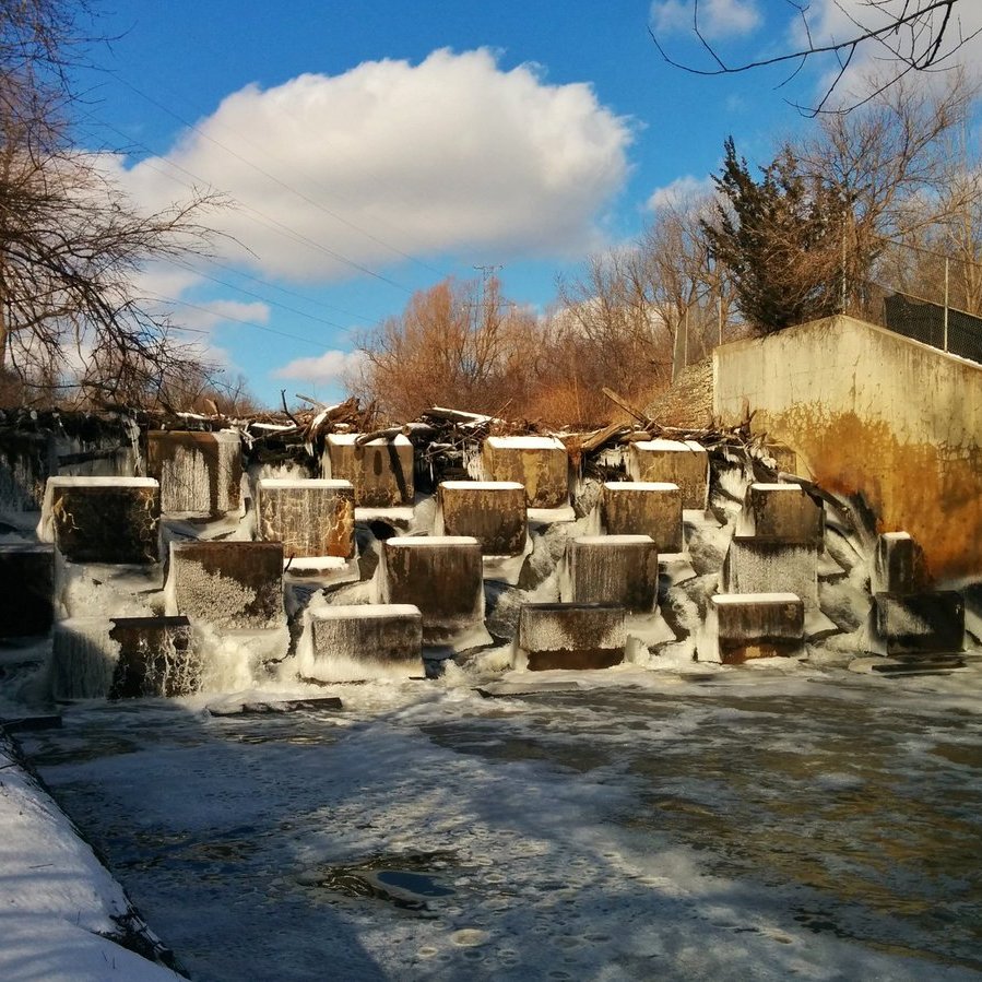
The Gatineau Hydro Corridor is the home of the original Meadoway, and the corridor that started the concept of a meadoway treatment. The Meadoway project will be 15.6 km long, or 3/4 of the corridor. My review of The Meadoway actually laments that it doesn’t go further.
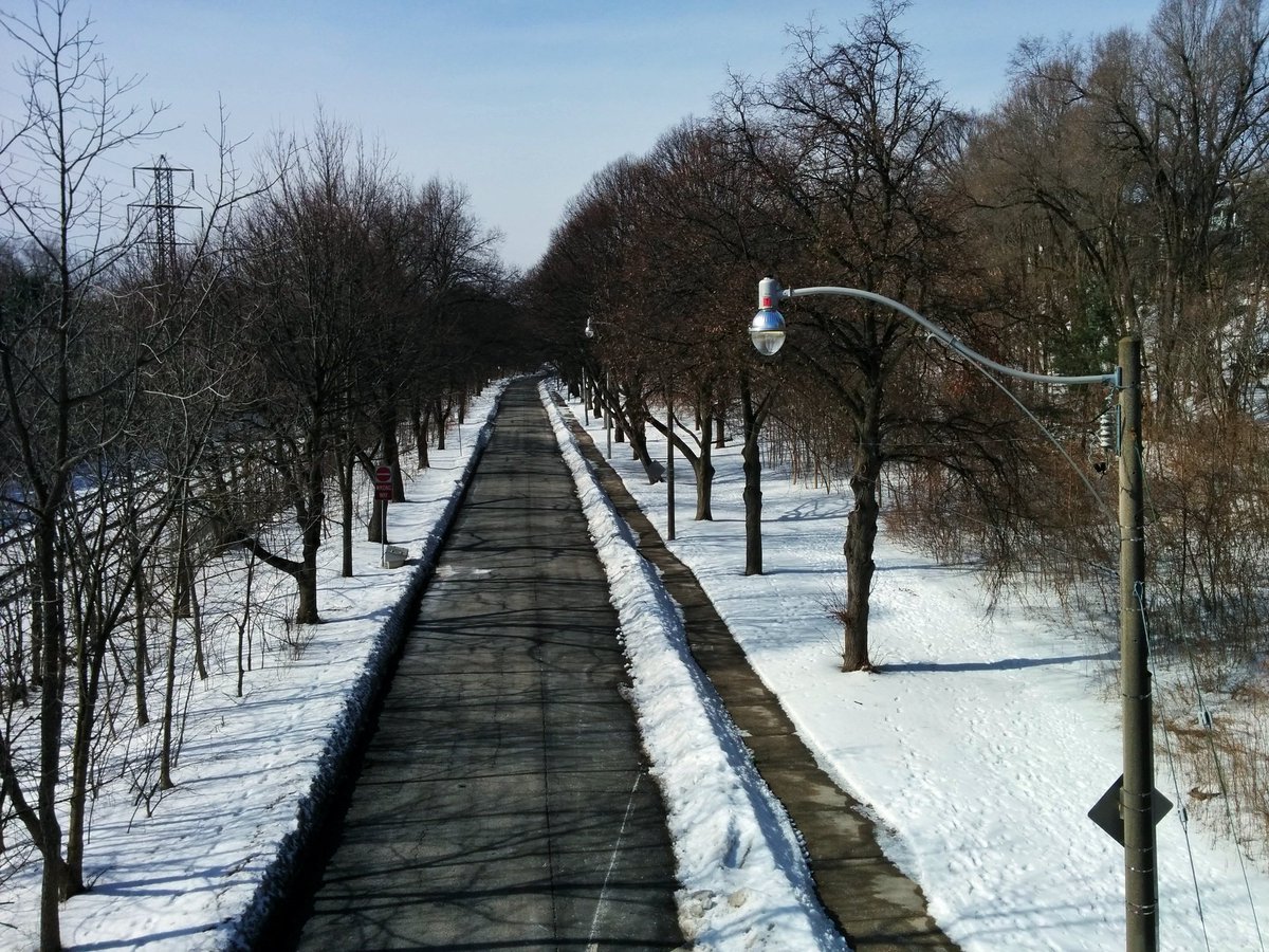
Nearly 80 out of 265 hectares (30%) of the Meadoway had already received a meadow habitat treatment, and nearly 10 kilometres of trail were already built. The rest is mostly manicured grass and vegetated ravine.
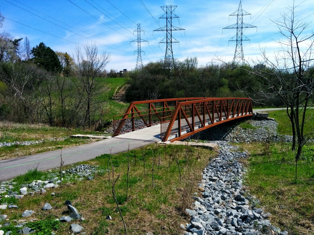
The corridor will link up to 5 major ravines: East Don River, East Highland Creek, an East Highland tributary, West Highland Creek, and the Rouge River. The Meadoway will connect directly with Phase 1 of the East Don Trail, currently under construction, and therefore with the rest of the Don trail system. There is also an existing trail system along West Highland Creek. Future connections east across the Rouge River would make for a great connection into Rouge National Urban Park.
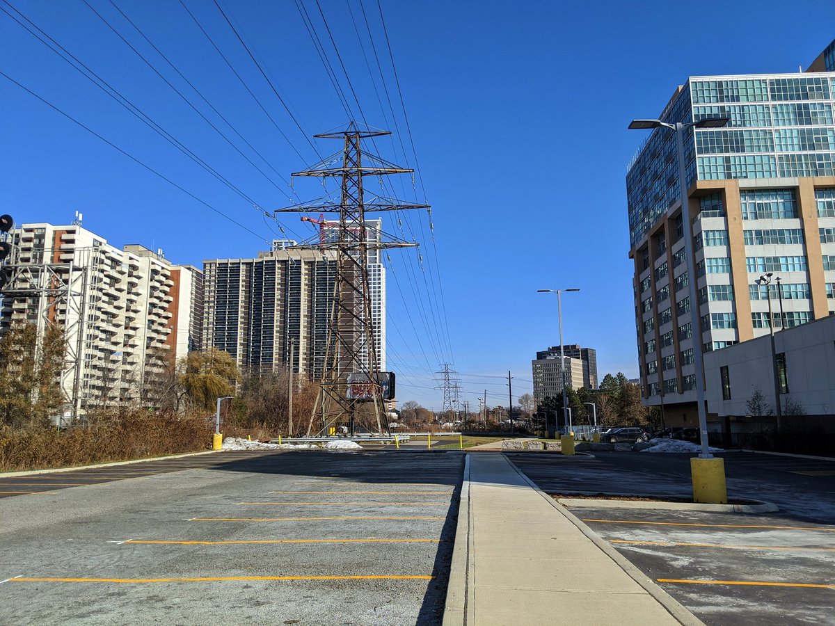
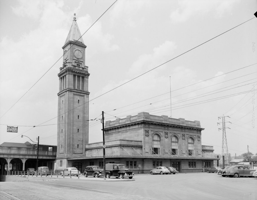
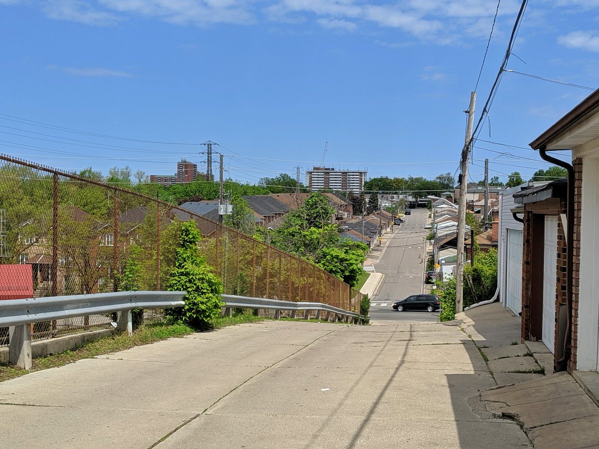
Royal Railside
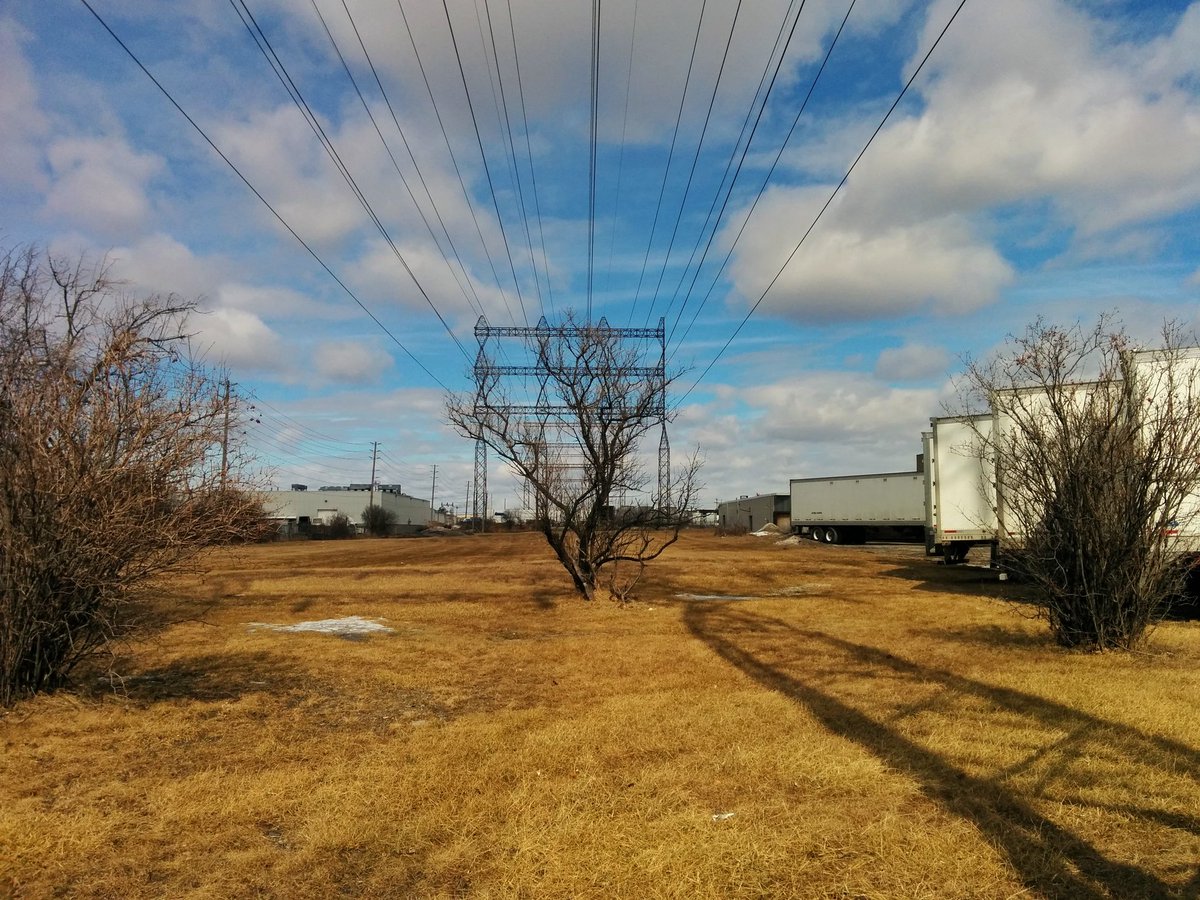
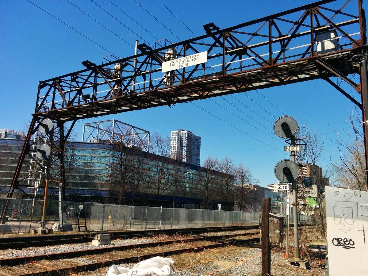
This corridor initially stretched from the 427 to the Don River. This sent it over the “South Parkdale” neighbourhood, and parallel to the former railway lands to the Don River. With the construction of the Gardiner Expressway and redevelopment of the railway lands, the middle of the corridor was buried between the Queensway / South Kingsway interchange and Sherbourne Street. South Parkdale was also demolished in the process.

The west leg is a mix of grass, industrial/commercial scrub lands with encroaching parking lots and vegetated ravine. The east leg is basically an extension of the Union Station Rail Corridor. A Meadoway treatment to the west leg would augment 2 ravines (Mimico Creek, Lower Humber River), and make for a new trail system along Mimico Creek. A Meadoway treatment to the east leg would enrich the void between the Gardiner and Union Station Rail Corridor.

Etobicoke Spine
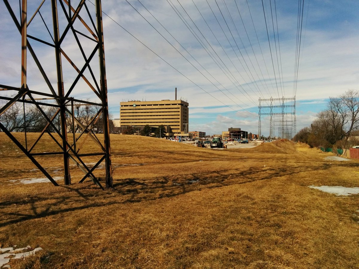
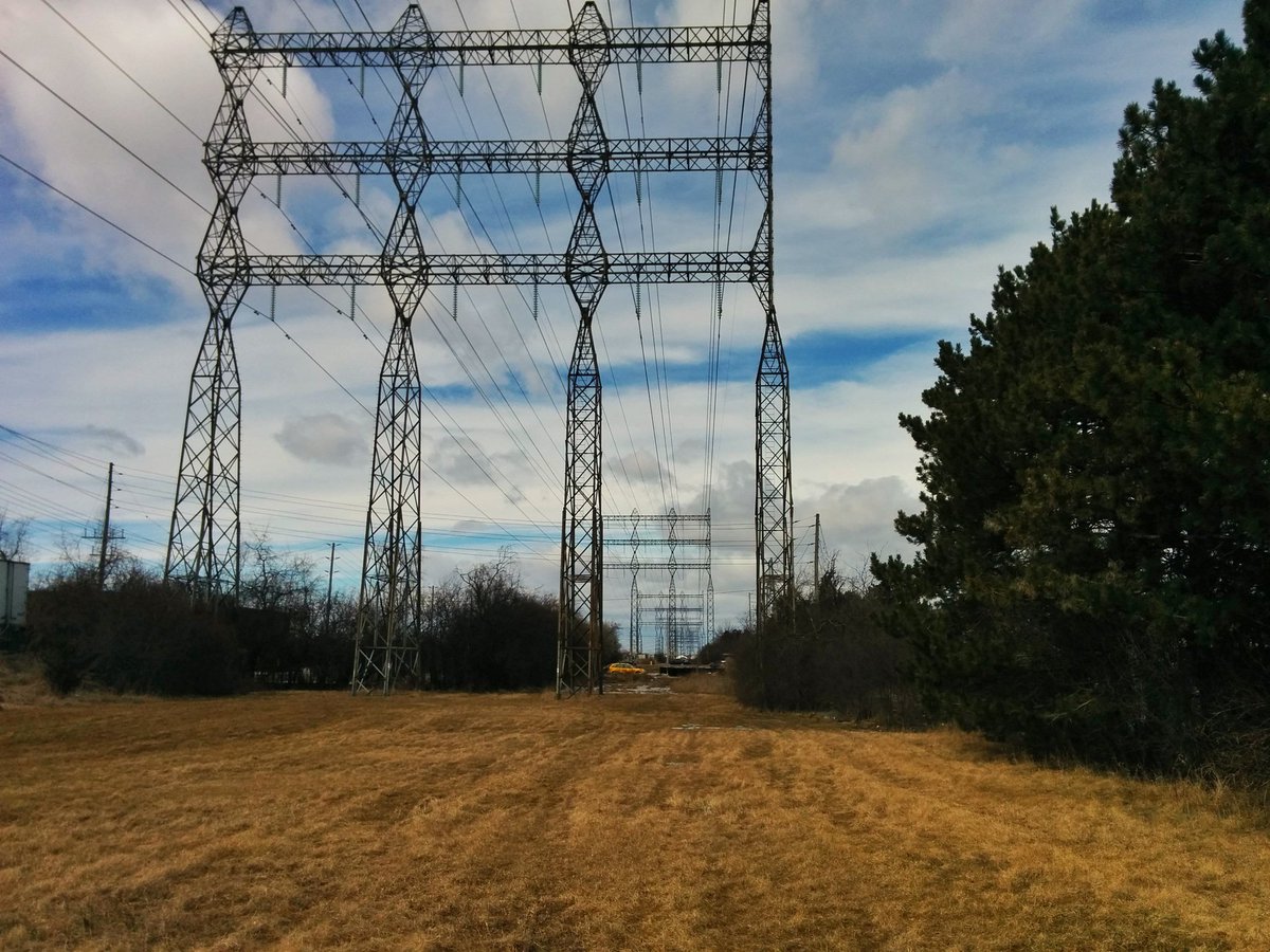
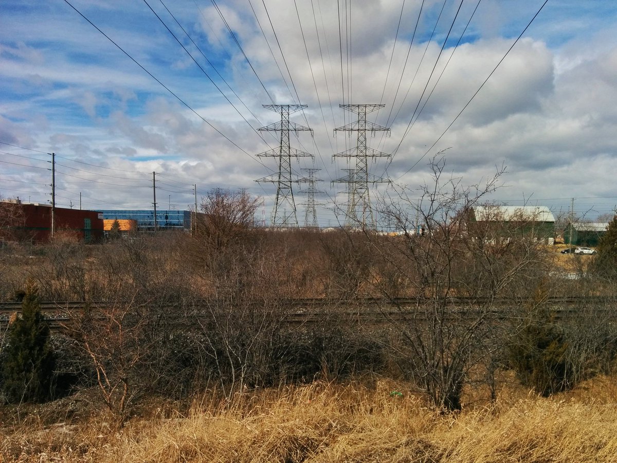
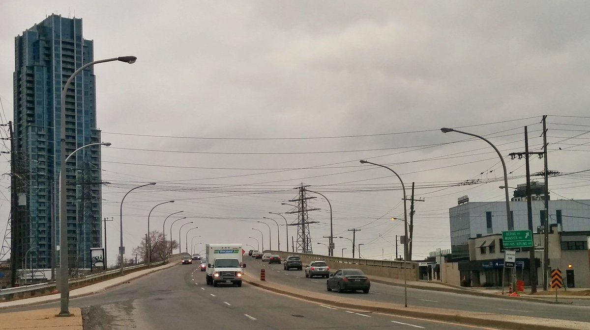
This corridor starts at North Queen Street, and continues north and northwest to the 401/427 interchange, and then north again parallel to Highway 27. South of the 401, it is mostly bi-secting low-density residential neighbourhoods. North of the 401 is mostly light industrial/commercial.
Most of the corridor is grass, with intermittent encroachments by adjacent homes and businesses. There are trees sparsely dotted along the corridor which have been trimmed away from the lines (it’s noted that south of the 401, the trees seem less trimmed away from the eastern pylons, which are rusty; perhaps they are unused). The only significant patches of vegetation occur in the three ravine crossings (Etobicoke Creek, West Humber River, Albion Creek), and a small patch of overgrowth between Bethridge Road and Rexdale Boulevard.
A Meadoway treatment to this corridor would augment 3 ravines (Etobicoke Creek, West Humber River, and Albion Creek), and connect to 3 existing trail systems (West Humber, Etobicoke Creek, Mimico). Potential future improvement areas include the headwater for Berry Creek, minor tributaries of Albion Creek, the 401/427 interchange, as well as the Crosstown West corridor (see next section below).


Humber-Pearson
This corridor starts at Etobicoke Creek south of Eglinton Avenue, and goes northeast through the 401/427 interchange, Rexdale, and the forks of the Humber River to Finch Avenue. The adjacent lands are parkland and open space southwest of the 401/427, commmercial / industrial lands to Rexdale Boulevard, and residential or ravine lands the rest of the way. Most of the corridor is grass except where it crosses the Humber Valley, and where a couple parking lots and industrial yards encroach into the space.
A Meadoway treatment to this corridor would augment 6 ravines and their respective trail systems (Etobicoke Creek, Tributary 4, Mimico Creek, West and East Humber River, Berry Creek). A major improvement area, as alluded to above, would be Mimico Creek and where it crosses the 401/427 interchange. I have written before about how the Royal Woodbine Golf Club should be the #2 candidate for converting city-owned golf courses into public parkland, and how extending this connection across the Humber-Pearson Corridor could serve a broader regional trail network.


Finch

As the name suggests, this corridor runs north of and parallel to Finch Avenue, between Highway 400 and the city’s eastern border. Much of the adjacent lands are residential, with the exception of commercial / industrial sectors in York University Heights, Steeles, Milliken and Armdale.
Most of the corridor is grass except where it crosses ravines, and a marshy patch west of Morningside. A few parking lots are located in the corridor, as well as the York University Busway, the G. Ross Lord Dam reservoir, at least two critcket pitches, seven soccer fields and two community gardens.
A Meadoway treatment to this corridor would augment the Rouge National Urban Park and 6 other ravines (Black Creek, West Don River, Newtonbrook Creek, East Don River, West Highland Creek, Morningside Creek), and connect to 4 existing trail systems (Black Creek, West Don River, East Don River, West Highland Creek). Potential future improvement areas include the upper reaches of the East Highland Creek’s West, East and Malvern Branches.


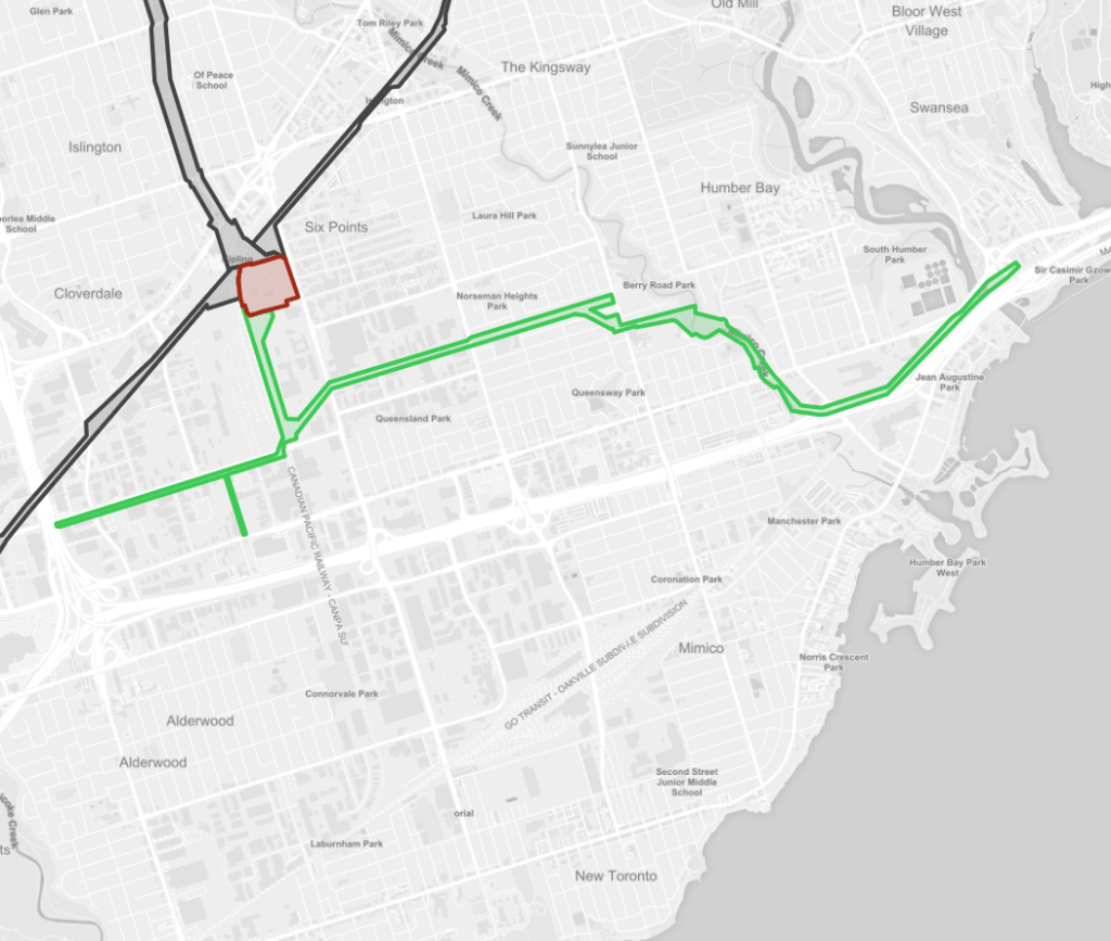
Crosstown West
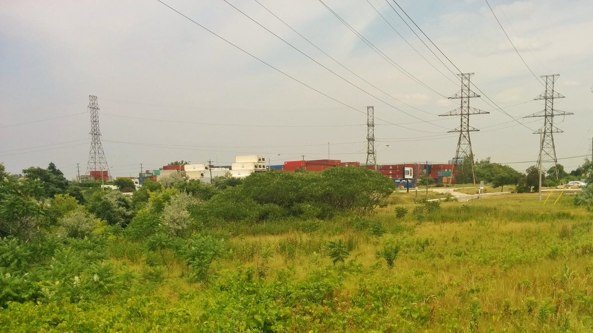
This corridor goes across the city to the west. It starts at Etobicoke Creek near the Queensway, where it has two parallel legs west of North Queen Street, with a third leg around The West Mall. From here, it parallels the GO Transit Milton Line until the Humber River, heads due east to the GO Transit Barrie line, jaunts southeast to Canadian Pacific’s east-west mainline, and then parallels that to the Bridgman Transformer at Davenport Road and Macpherson Avenue. The corridor is a mix of grass, parking lots, recreation parks or industrial yards. Lavender Creek also parallels the corridor between Weston and Symes Roads.
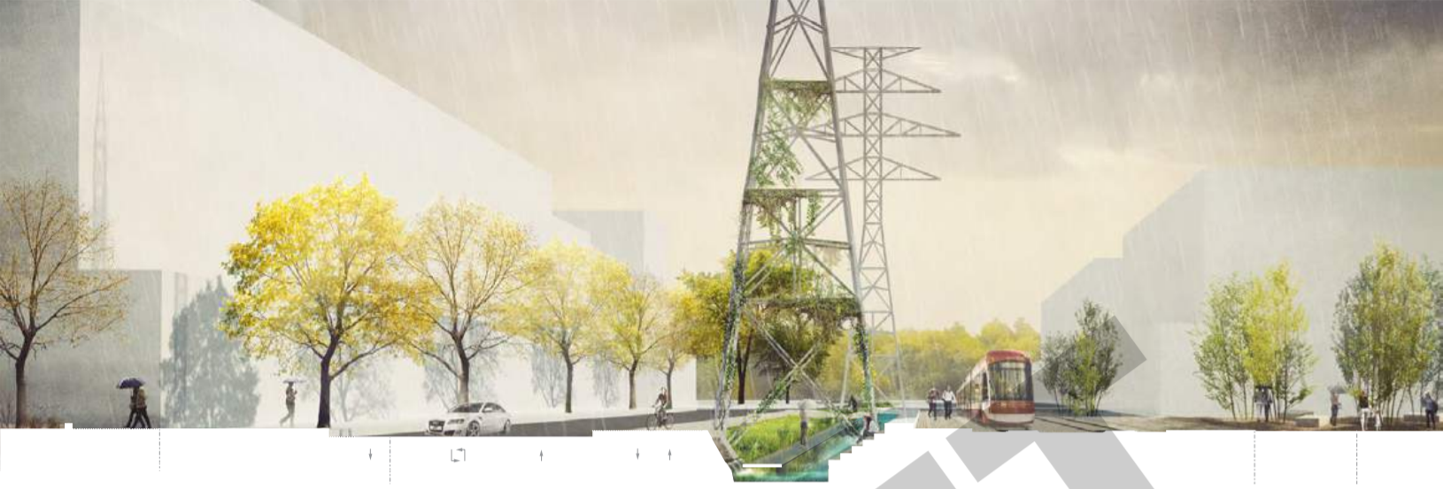
Between the Wiltshire Transformer Station and Davenport Road, the corridor is a proposed park and trail known as the Green Line, which was part of a design competition. Realizing this vision would at least bring a continuous trail to this 5 km segment of the corridor, hopefully grade separated from most of the arterial roads along the way. I also proposed making this corridor into a trail connection across Toronto in the Toronto and Region Conservation Authority’s Draft Trail Strategy. This would be in lieu of relying on bike lanes along Bloor and Danforth, and keep active transportation users in the natural system.
A Meadoway treatment to this corridor would augment Lavender Creek, as well as 3 other ravines and their existing trail systems (Etobicoke Creek, Mimico Creek, Humber River). Potential future improvement areas include the buried portion of Lavender Creek around Weston Road, connections to the Etobicoke Spine and Mindtown Corridors, as well as the proposed trail along the GO Transit’s Davenport Grade Separation project.


Midtown
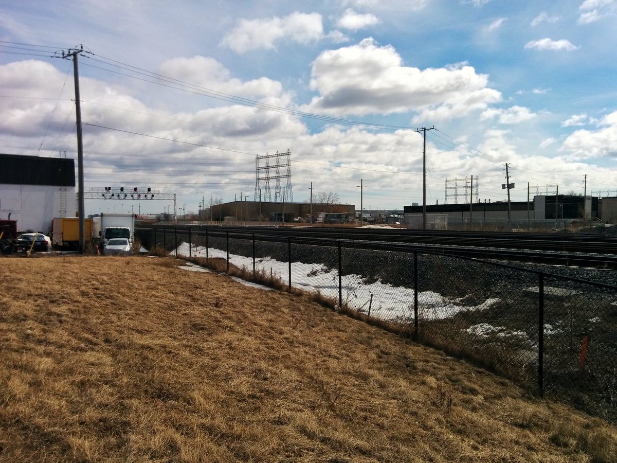
This corridor continues east from where the Crosstown West Corridor left off at the Bridgman Transformer Station, following the Canadian Pacific east-west mainline until reaching the Leaside Transmission Station at Millwood and Overlea. There are actually two legs to this corridor: the first is mostly north of the rail corridor, and buried in a tunnel between Yonge and Bayview Heights Drive; and the second remains above ground south of the rail corridor, but has been eliminated between the Bridgman Transformer Station and a substation east of Yonge. The corridor is mostly squeezed beside railway tracks before spreading out into Crothers Woods.
Establishing active transportation uses would be a challenge as the corridor is not very wide, and has multiple private properties and the rail corridor itself encroaching onto it. However, there would be great opportunities to maintain a connected corridor for active transportation users between Yonge and Bayview, as ample publicly owned space should exist adjacent to Shaftesbury Avenue, Carstowe Road and the Old Bridle Path.


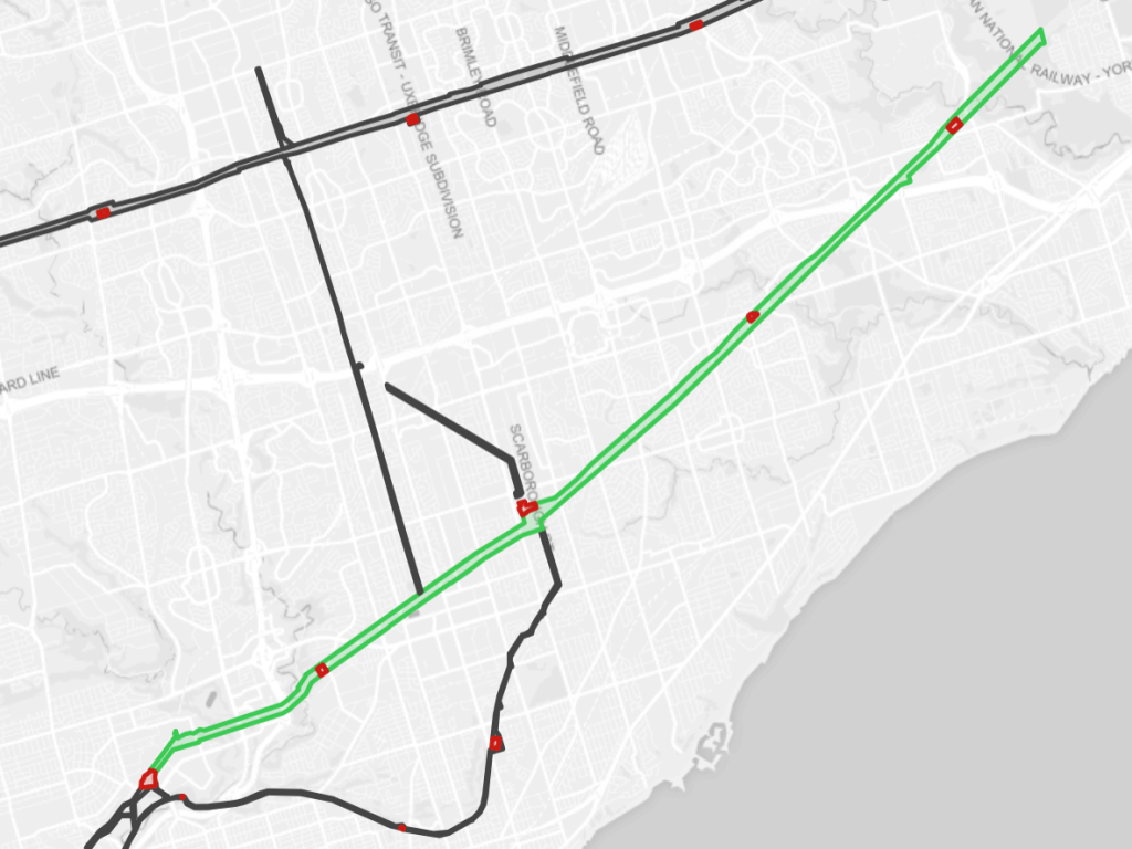
Scarboro-Oakridge
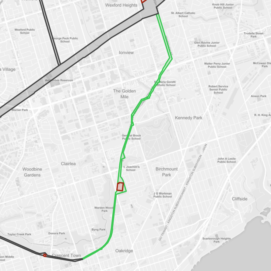
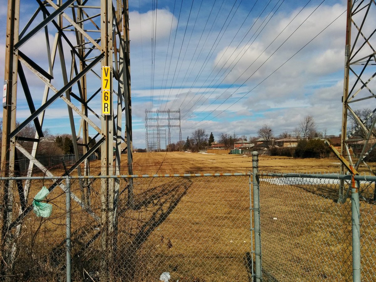
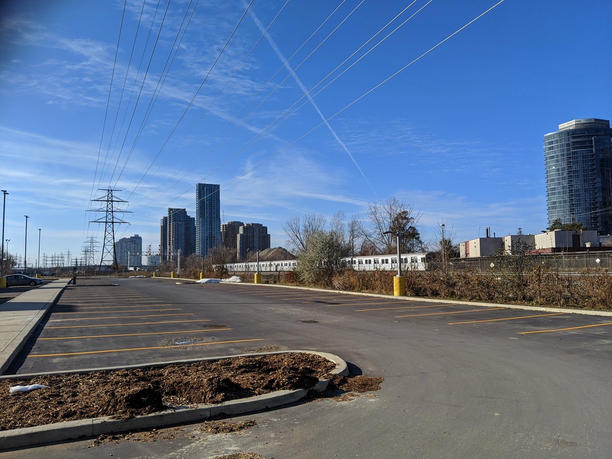
This corridor intersects the Gatineau Hydro Corridor south of Lawrence Avenue and east of Kennedy Road. From here, it parallels TTC Lines 3 and 2 south to Victoria Park station. Aside from where it’s flanked by transit infrastructure, much of the adjacent lands are residential. Warden Woods parallels the corridor between Warden and Pharmacy Avenues, and some former railway lands intersect the corridor between Birchmount and Kennedy Roads. Most of the corridor is grass except where it crosses ravines.
A Meadoway treatment to this corridor would augment Warden Woods and 3 other ravines (Taylor-Massey Creek x2, unnamed Taylor-Massey Creek tributary), connect to an existing trail system along Taylor-Massey Creek at St Clair Ravine Park, and connect to the future trail along the Gatineau Hydro Corridor . Potential future improvement areas include additional connections under TTC Line 2 to Warden Woods, through Firvalley Woods, under the rail spur between Farlinger Ravine and Eglinton Ravine Park, and around Kennedy Station and the local road network there.
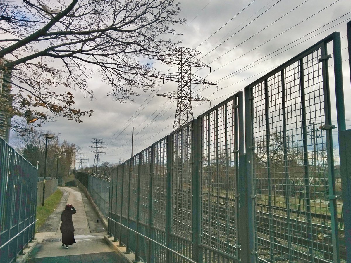

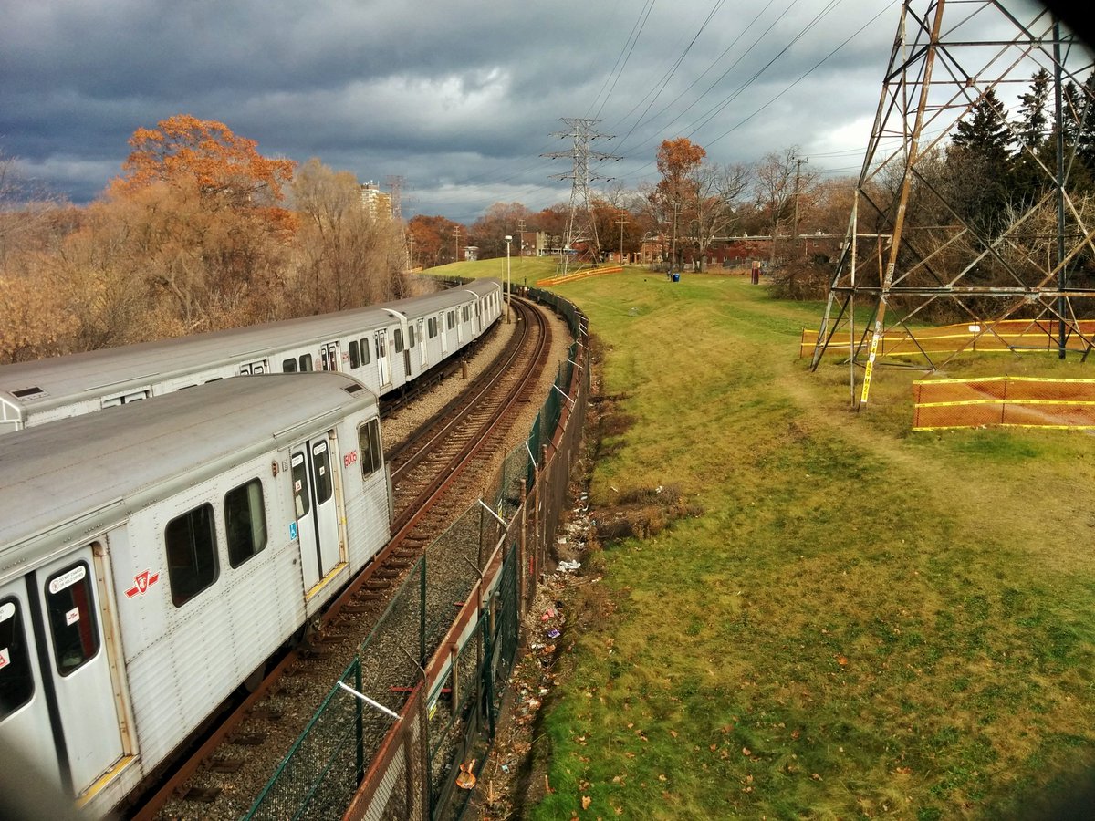

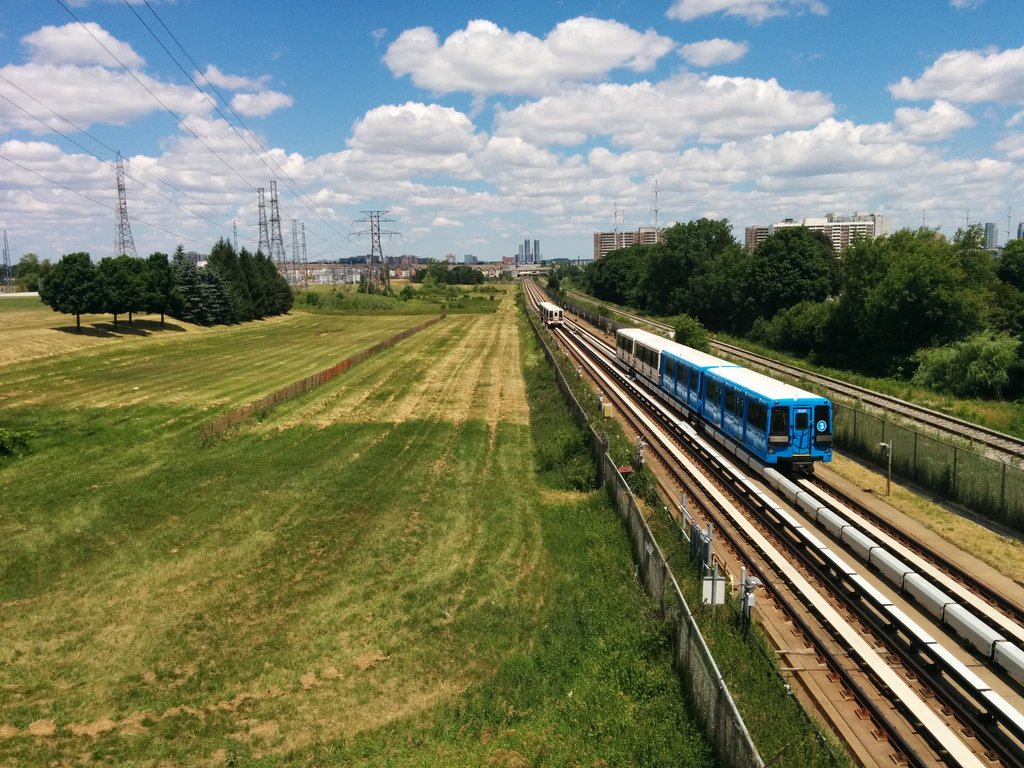
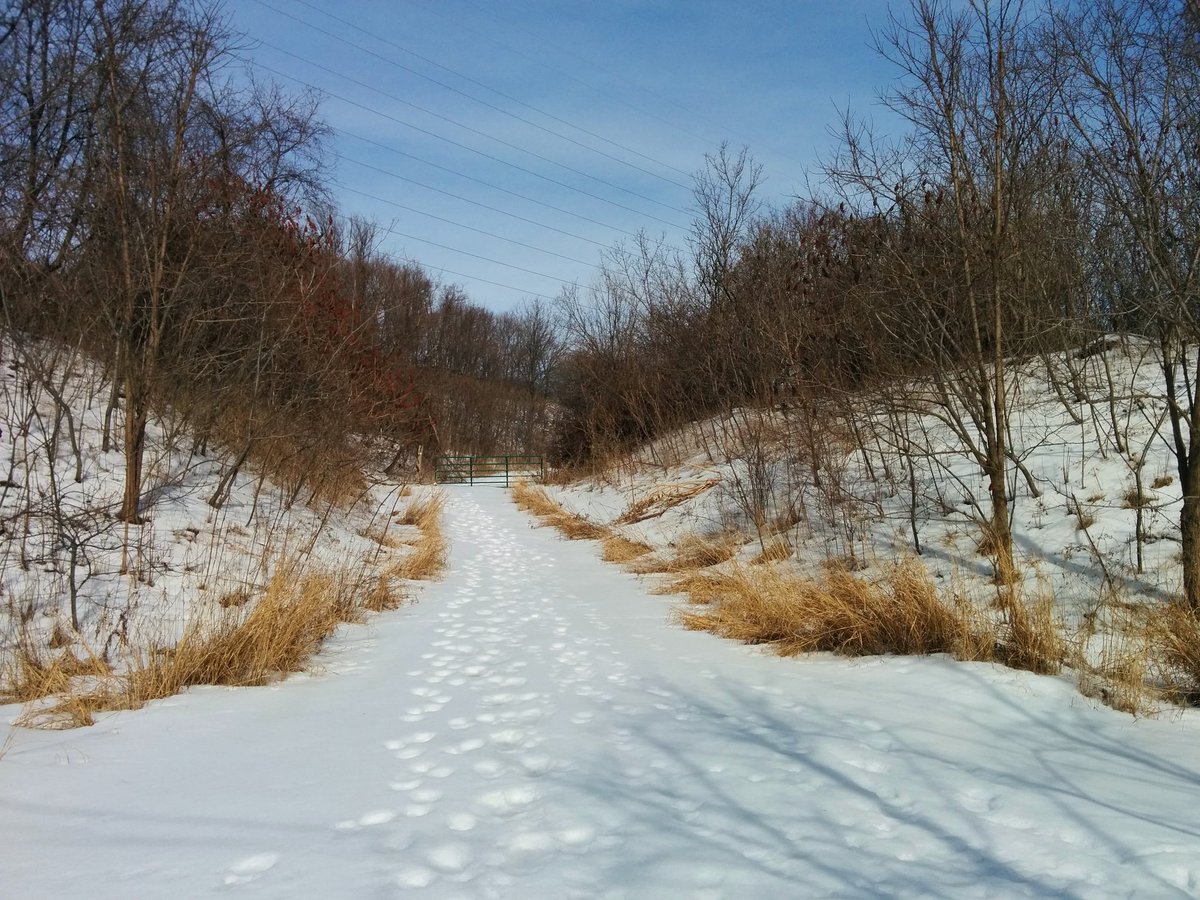
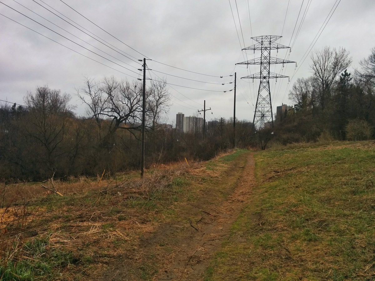
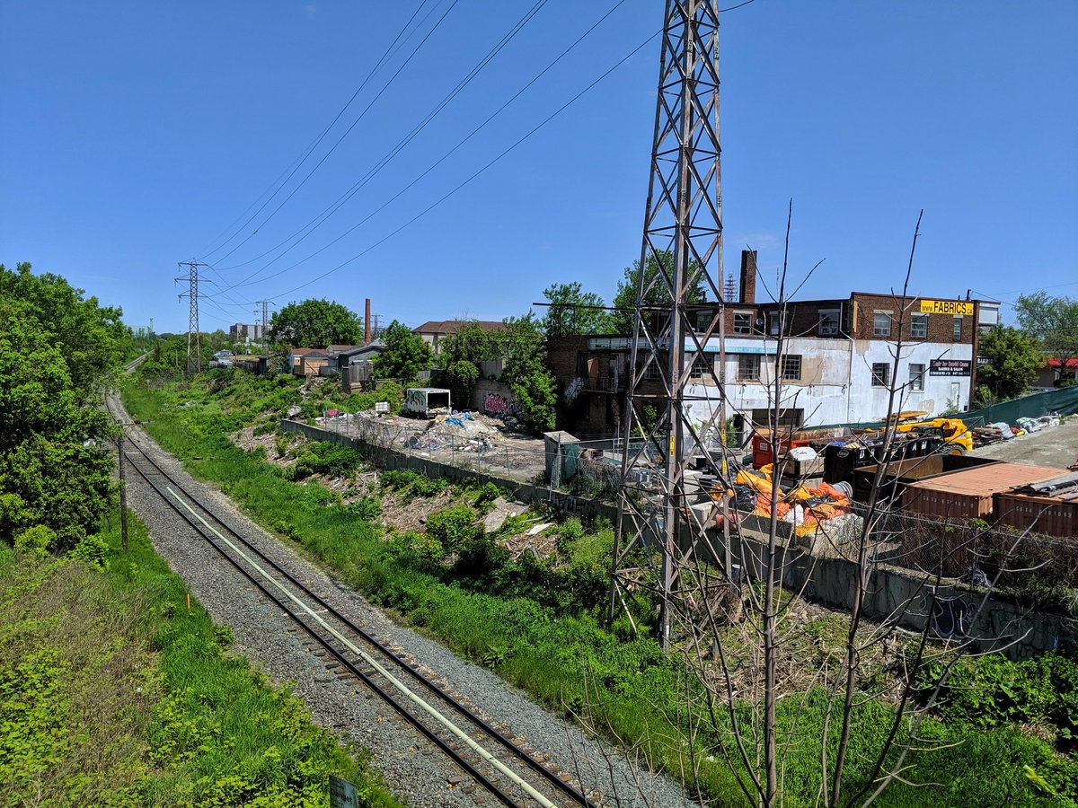
Taylor Creek
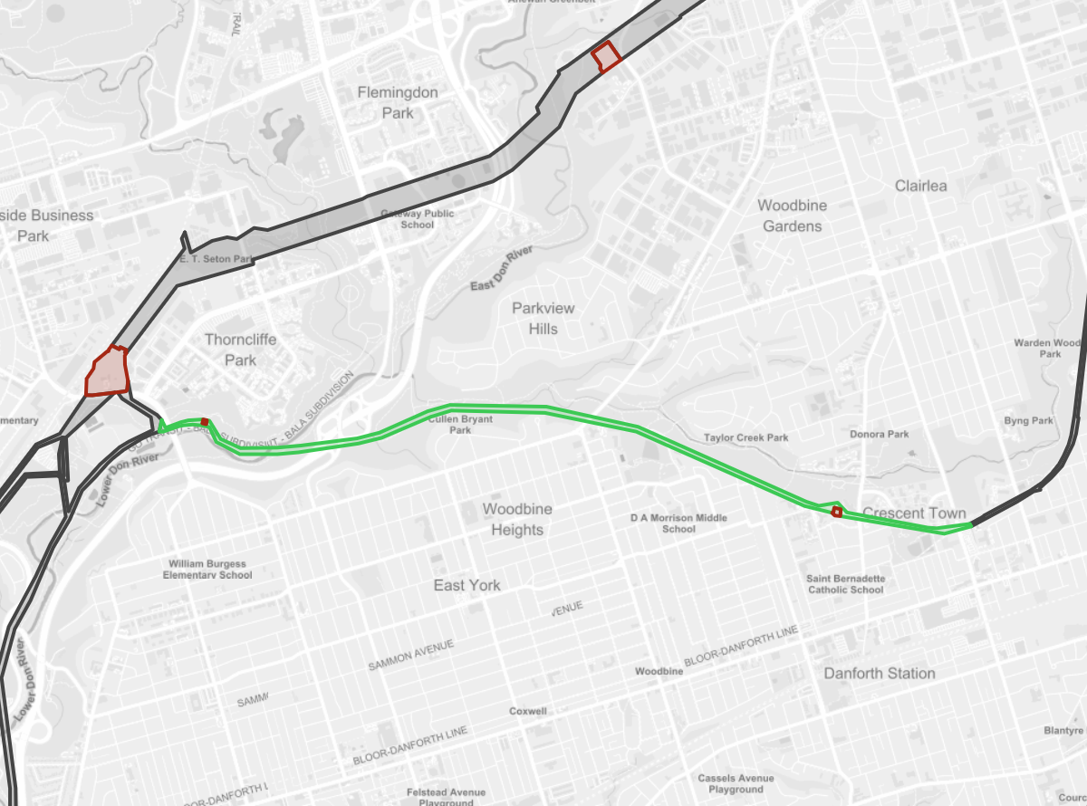
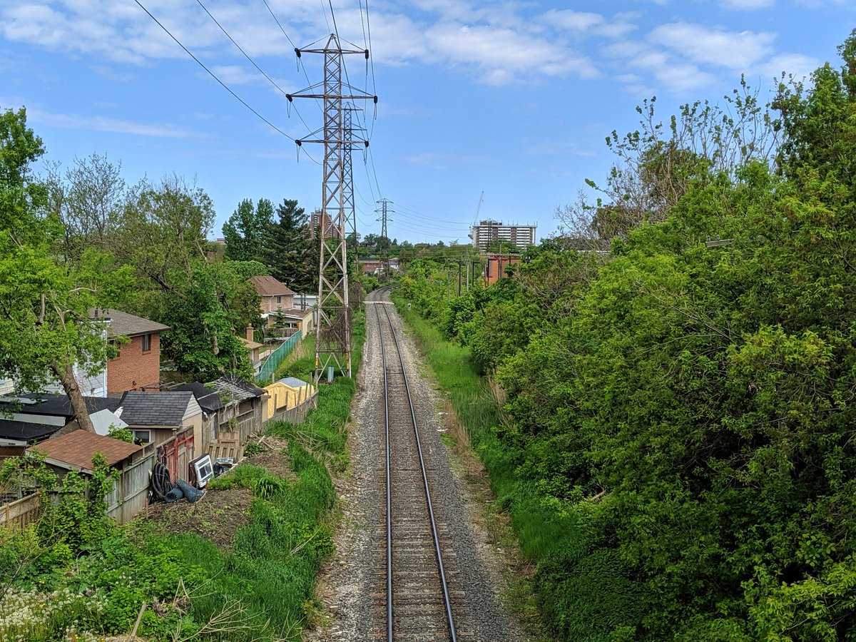
This corridor goes northwest from Victoria Park station (where it links to the Scarboro-Oakride Corridor), and paralles Taylor-Massey Creek and the Lower Don River until the Leaside Bridge, where it links up with the Lower Don Corridor.
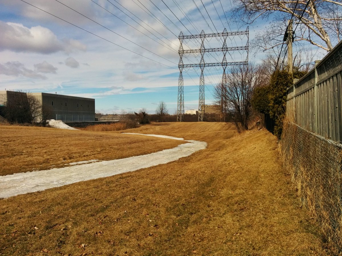
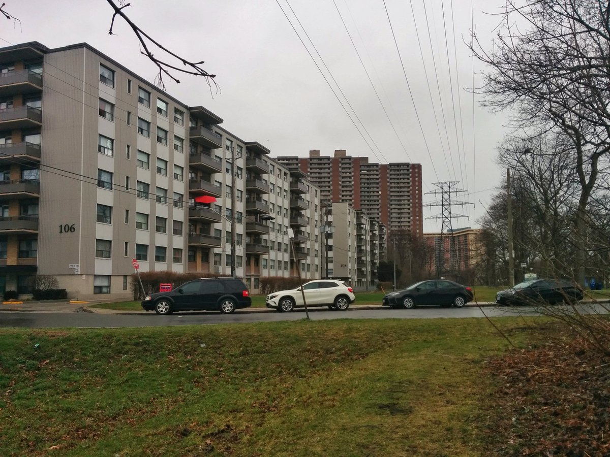
This corridor is already naturalized with significant woody vegetation west of the corner between Lumsden Avenue and Eastdale Avenue, although it is kept trimmed in the immediate vicinity of the power lines by Hydro One. East of this corner, some parking lots are within the corridor, and it is flanked by some hi-rise towers. Meadoway treatments to this corridor would only be required in a couple localized spots, mostly in Crescent Town. The corridor has an existing trail for most of its length, although new crossings between Coxwell Ravine Park and the north side of the rail line east of the Leaside Bridge would be welcome.

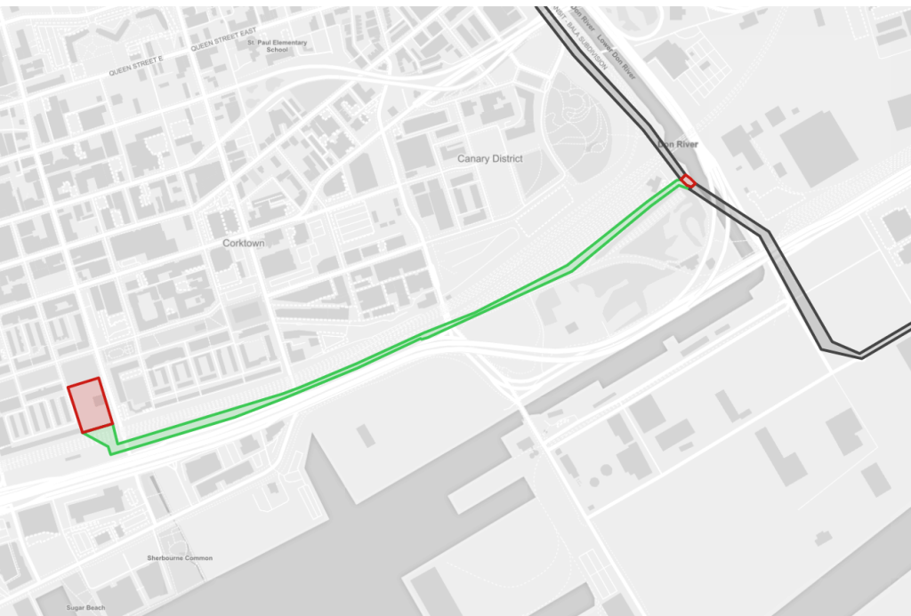
Don
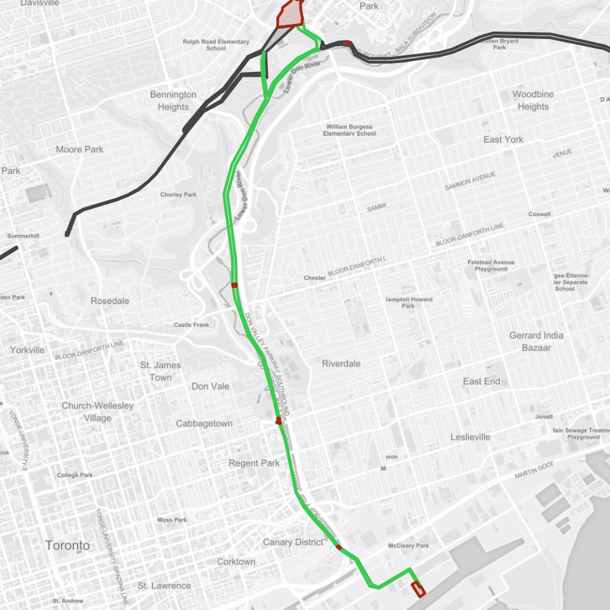
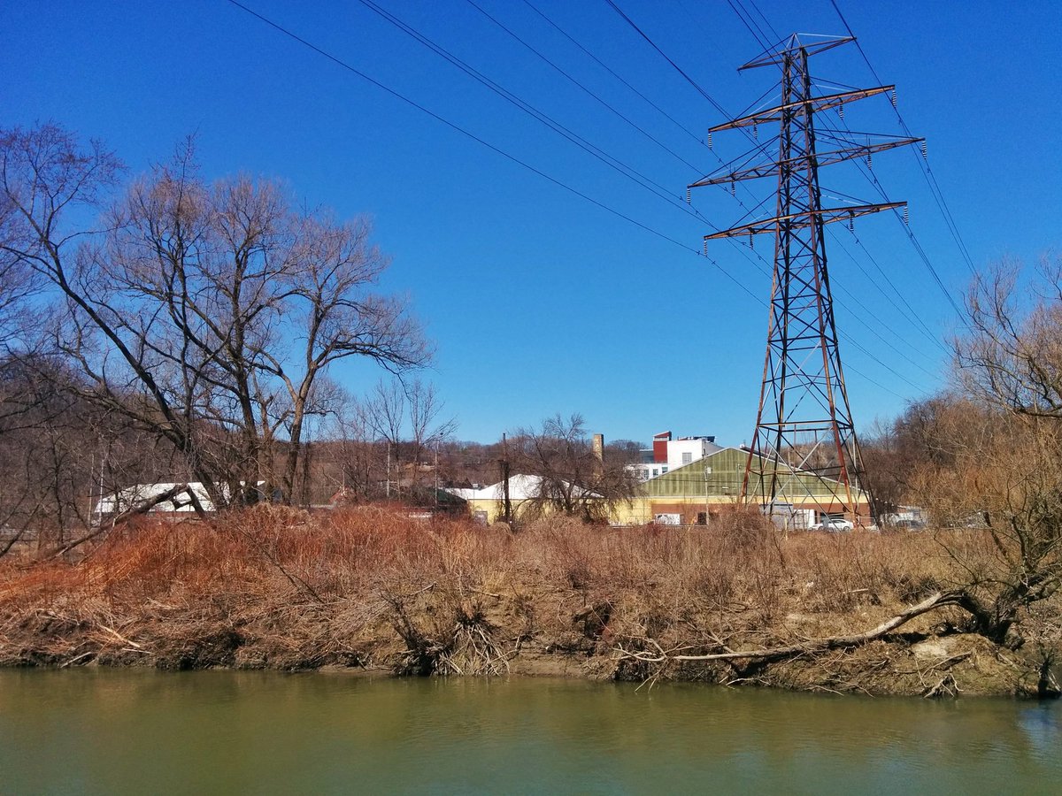
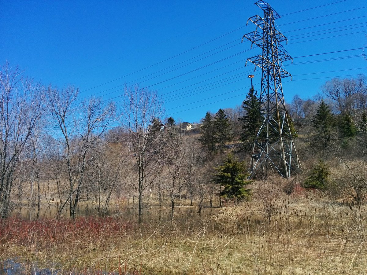
This corridor goes south from the Leaside Transmission Station at Millwood and Overlea, following the Lower Don River to the Keating Channel, where it takes a couple turns in the Port Lands to reach the Shipping Channel opposite The Hearn and the Portlands Energy Centre.
This corridor is already naturalized with significant woody vegetation north of River Street, and parallels the existing Lower Don River Trail. South of this point, the corridor abuts roads and rails, and at one point stands in the middle of Commissioners Road. Therefore, opportunities for Meadoway treatments are limited. However, there are plans by Waterfront Toronto to create a stormwater channel under the hydro towers along Commissioners Street, which is an interesting use of limited space.

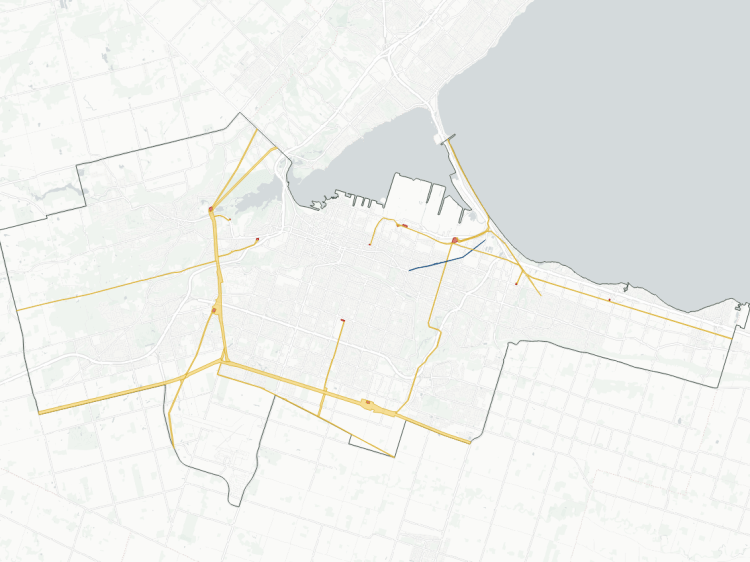
Beltline

As the name implies, the Beltline Corridor follows the former Beltline Railway, north from St Clair and eventually east to the Fairbank Transformer Station near Marlee Avenue and Roselawn Avenues. The corridor is part of the GO Barrie line right-of-way until Eglinton Avenue, and is then part of the York Beltline Park the rest of the way.
North of Eglinton, a Meadoway treatment is not needed everywhere, but may help augment some of the more scrubby vegetation. South of Eglinton, there is a major opportunity to create a major north-south link between the Beltline Trail and, in the future, the Greenway planned as part of the Davenport Diamond Grade Separation project.


Warden

The Warden Corridor, as the name implies, parallels Warden Avenue to the west. It starts at the Gatineau Corridor in Wexford, and proceeds directly north to the city boundary and beyond.
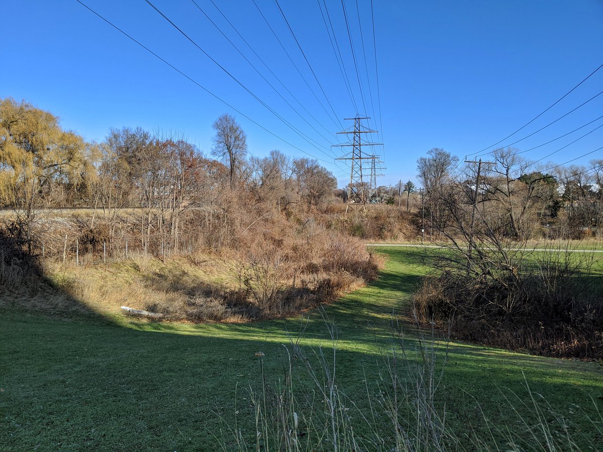
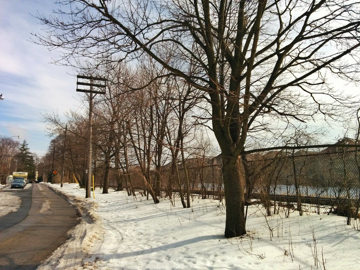
This corridor is a remnant of its old self. Between the 401 and the Finch Corridor, the corridor was no longer required, and the hydro towers were removed. In its place, a small 15 metre wide corridor remains for a natural gas line that still lays beneath. South of the 401, the towers remain, with wires that lead to nowhere, and grass with occasional trimmed trees.

With the corridor inactive south of the 401, it could be a candidate for full reforestation (as opposed to just a Meadoway treatment). It also parallels the upper reaches of Taylor-Massey Creek for half a kilometre, and would provide some improvements to the watershed. North of the Finch Corridor, a Meadoway treatment would augment the existing trail to the north of the city.


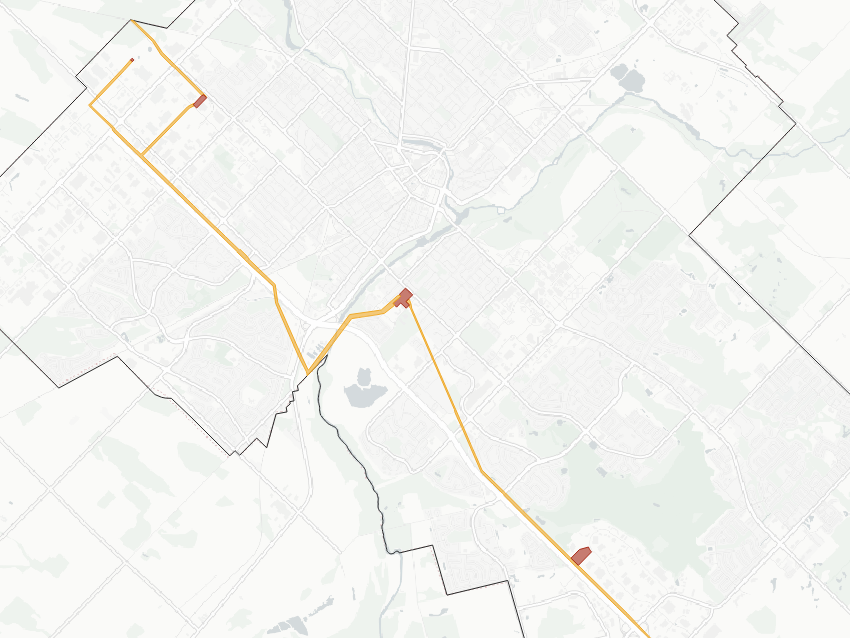
Bathurst
This is a very minor leg branching off the Finch Hydro Corridor. While the upper portion is overtaken by some parking lots, the corridor descends into the West Don River valley before turning west to a transformer station. As such, the south end is suited to be an improved valley access, while the north end is debatable. It would be preferable for the focus to be providing riverine valley access along the river rather than the hydro corridor.
Notes and Disclaimers
- This data was created with the support of roadway, administrative boundary, property parcel and web map service data from Toronto’s Open Data Portal, made available under the Toronto Open Government Licence v1.0 (refer to the Metroscapes Open Data changelog for dates), as well as railway data from the Ontario Data Catalogue, made available under the Ontario Open Government Licence v1.0. This is interpretive and not based on official property ownership or rights information from any utility or government entities. Therefore this data is provided ‘as is’; please refer to additional disclaimers at the Open Data page.
- Some utility corridors are not plainly defined by property boundaries, and may cross or abut private property, roadways and railways. Some interpretive liberties were taken based on Transport Canada’s Standards Respecting Railway Clearance and Hydro One guidance for Secondary Land Uses.
- While this page advocates for greater public access, utility corridors are private property and this page does not suggest they are all publicly accessible. Please observe all signage respecting access and activities permitted within these corridors. Remember that these are high voltage power lines, and they can be dangerous.

Open Data
This dataset is available in multiple formats through the Open Data Portal


Interested in a Mississauga version – there appears to be an obsolete corridor leading south from the QEW to the former Lakeview power plant?
LikeLike
I think there are plans to make it a connection to the redevelopment of Lakeview. https://cvc.ca/wp-content/uploads/2012/08/LakeviewLegacyProjectOverview-10small.pdf
LikeLike
Hi Trevor, did you see that two new urban community farms opened in the Gatineau and Finch corridors this year? http://www.flemofarm.ca and Malvern Urban Farm (run by Malvern Family Resource Centre). Both are incubator farms that have pollinator gardens, markets and community activities.
LikeLiked by 1 person
What are the ages of these various corridors?
LikeLike
The Hydro Electric Power Commission of Ontario dates back to 1906. I believe most of the province’s transmission network in the city was built between the 1910s to the 40s.
LikeLike
How feasible is utilising the Finch Hydro corridor for a mass transit across Toronto to Pearson?
LikeLike
I think that’s a complicated question, depending on the mode, the grade, and Hydro One’s requirements. There are more knowledgeable transit enthusiasts out there and I will leave it to them, I will just say:
1) There is a dedicated busway now between Finch West Station and Dufferin Street, which was more useful before the Line 1 extension opened to York University, but is still used by the 939 bus.
2) Any permanent above-grade infrastructure would take away from the green (recreational / ecological) space that exists now, and it could create a barrier to north-south active transportation without proper planning.
LikeLike