Exploring hydro corridors in Kitchener-Waterloo and Cambridge was inspired by The Meadoway in Toronto, and exploring the hydro corridors there.
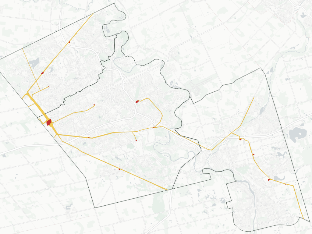
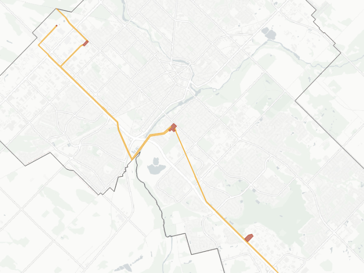
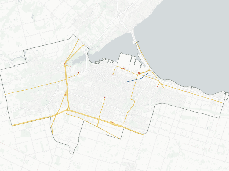
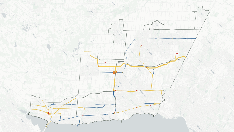
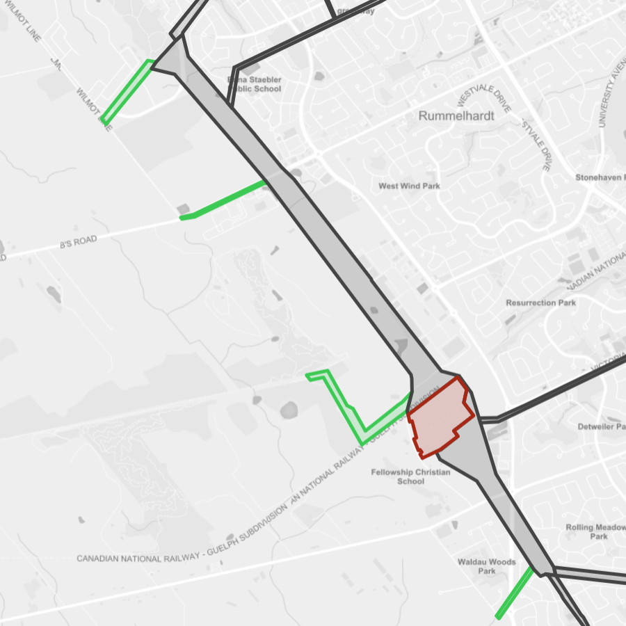
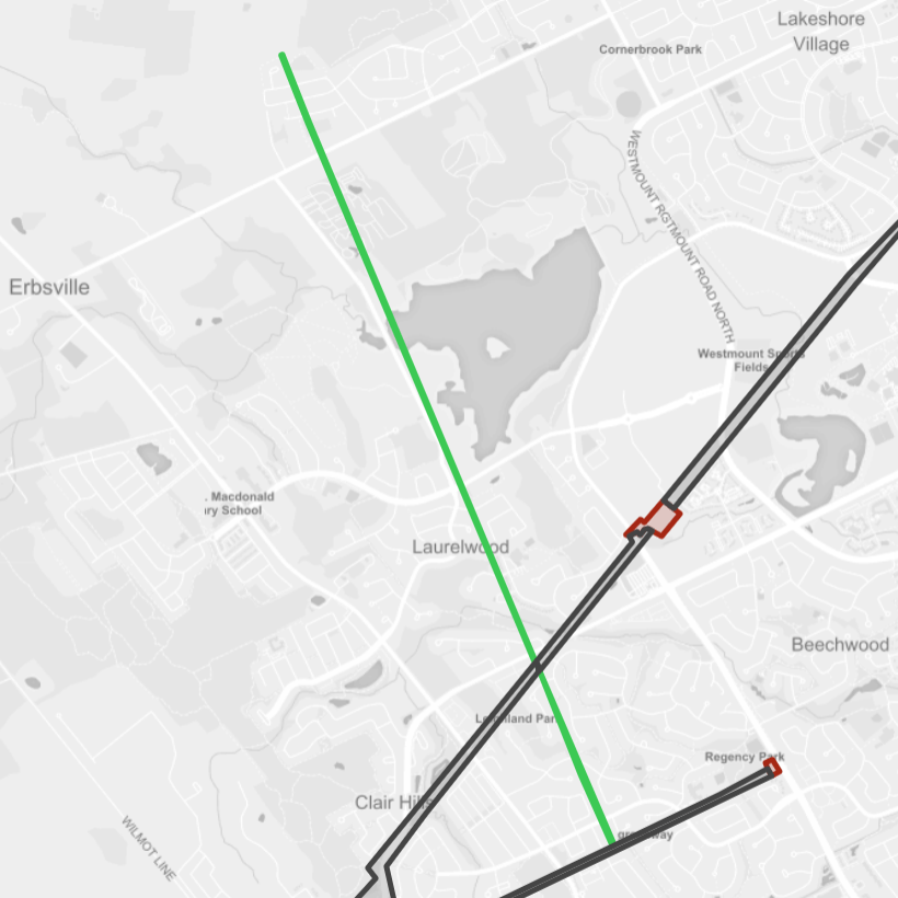
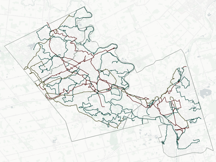
There are 12 active hydro corridors that span within the borders of Waterloo, Kitchener and Cambridge. These stretch a total length of 83 km and cover an area of 400 hectares. Below is a short inventory of those corridors.
West Trunk
- Length: 5.0 km
- Area: 91.7 ha
- Average Width: 183 m
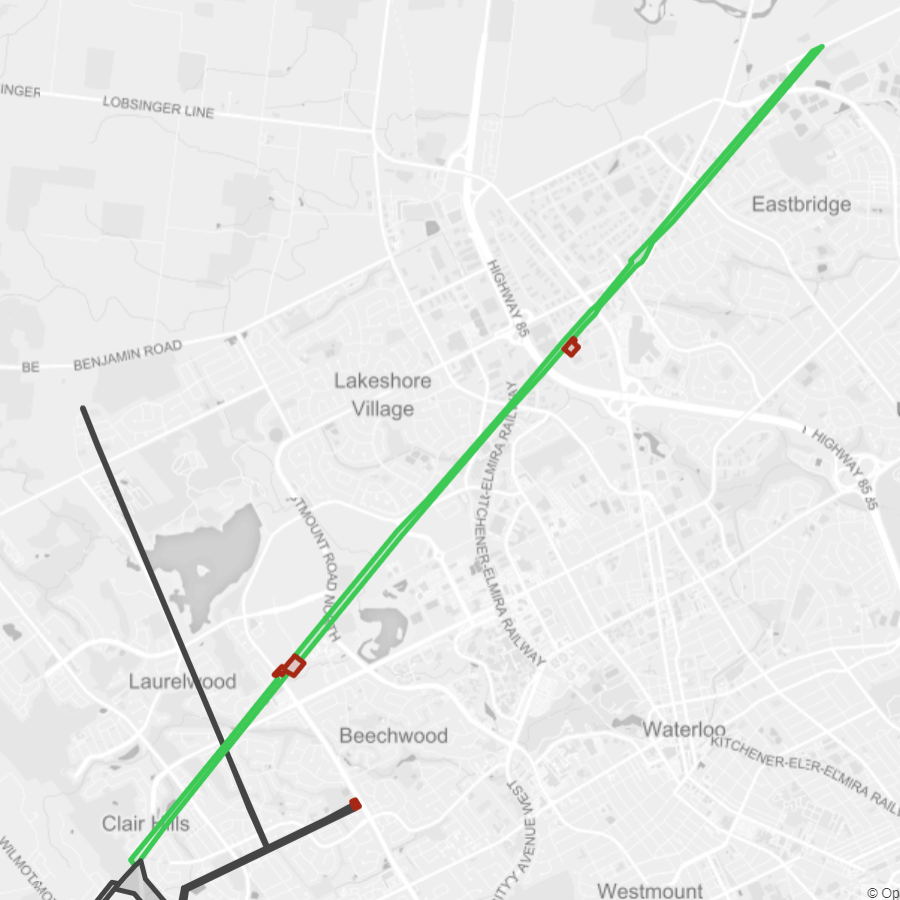
Waterloo
- Length: 9.9 km
- Area: 46.8 ha
- Average Width: 47 m
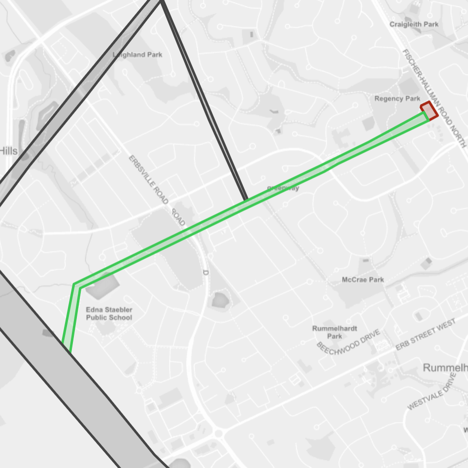
Beechwood
- Length: 2.0 km
- Area: 6.5 ha
- Average Width: 32 m
Town Branches
- Length: 2.9 km
- Area: 13.7 ha
- Average Width: 47 m
Elmira
- Length: 4.4 km
- Area: 4.8 ha
- Average Width: 11 m
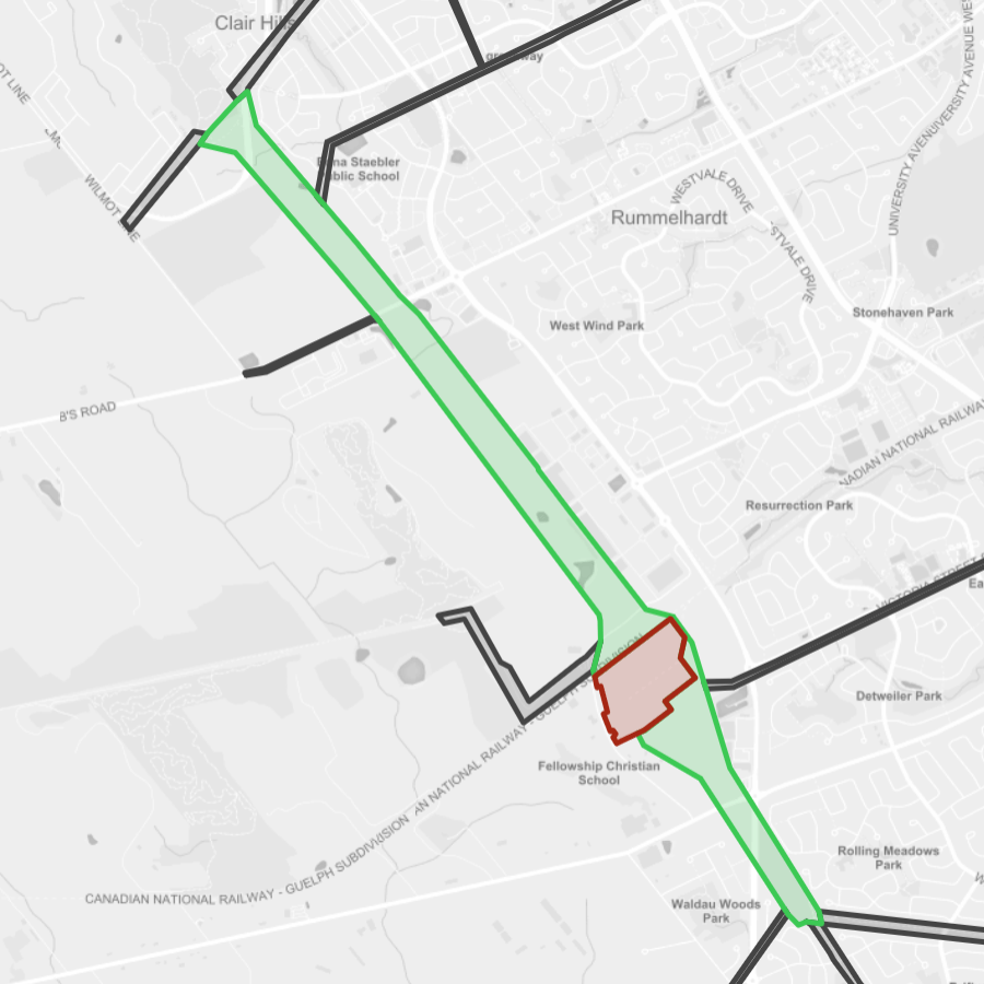
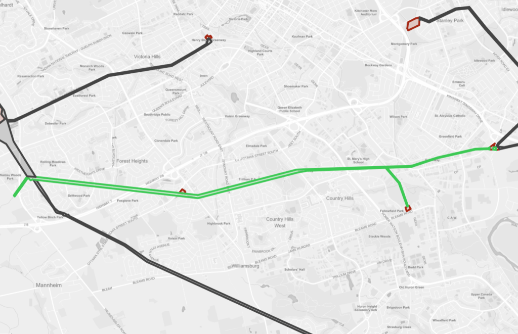
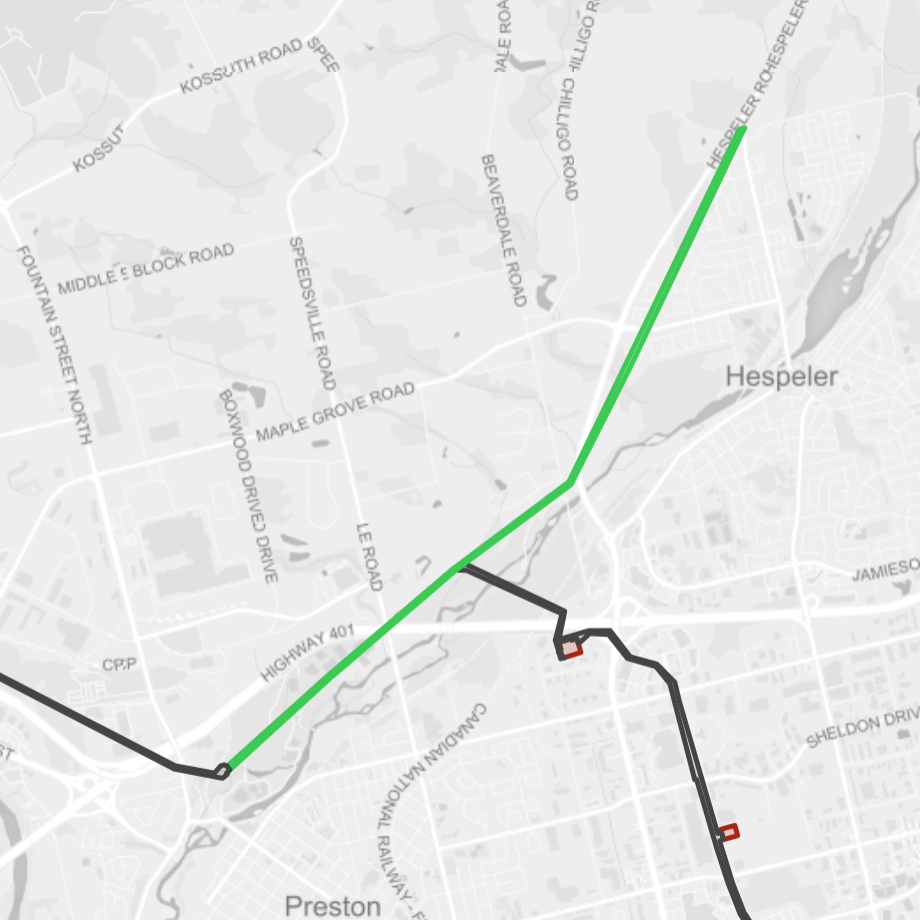
Heighthill
- Length: 10.9 km
- Area: 46.5 ha
- Average Width: 43 m
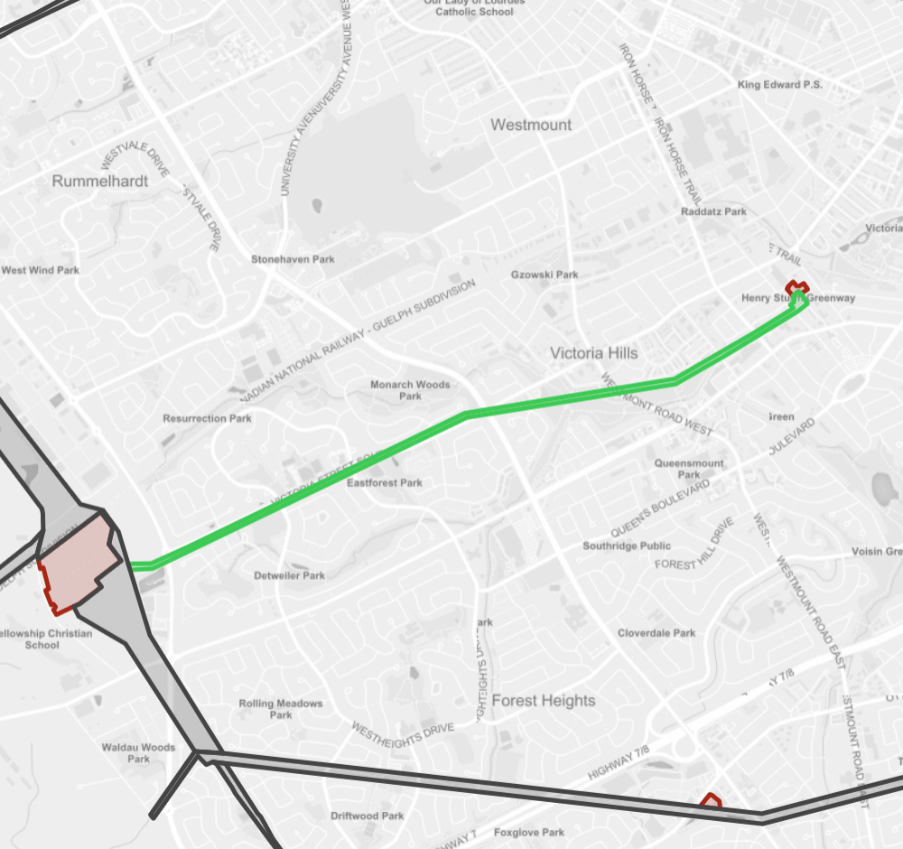
Victoria
- Length: 4.6 km
- Area: 13.5 ha
- Average Width: 29 m
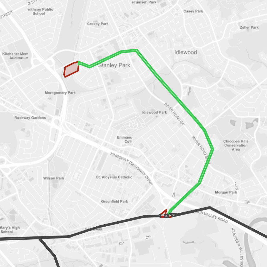
River Road
- Length: 4.6 km
- Area: 13.6 ha
- Average Width: 30 m
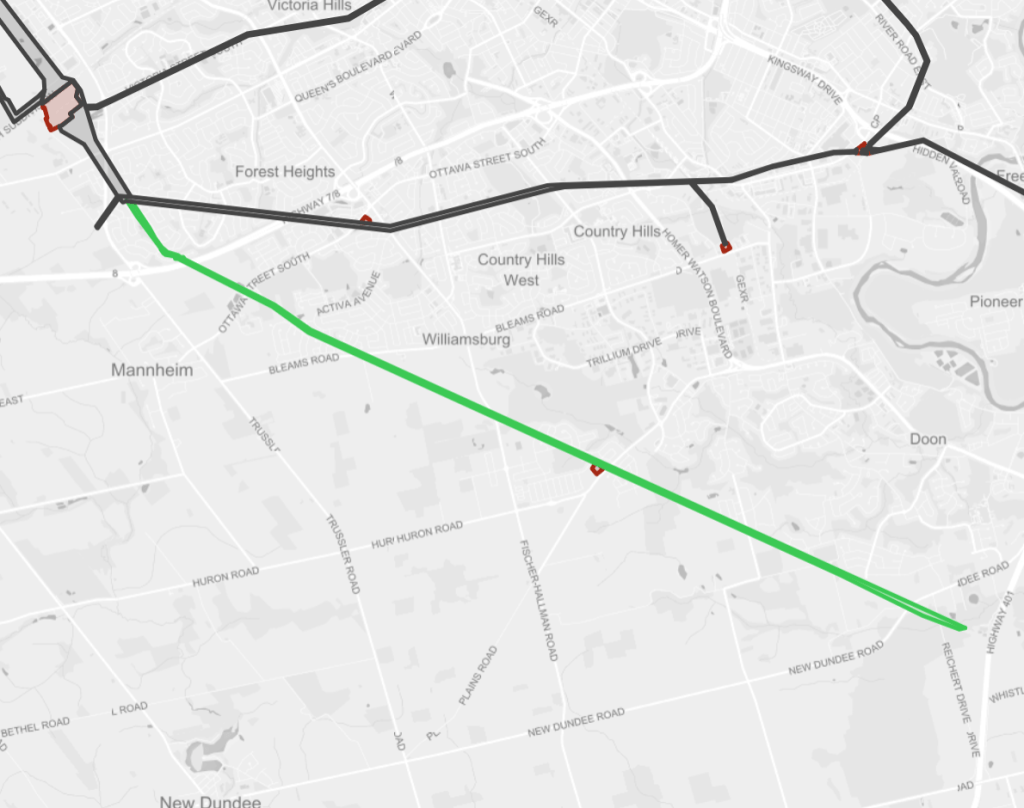
Kitchener West
- Length: 11.9 km
- Area: 53.5 ha
- Average Width: 45 m
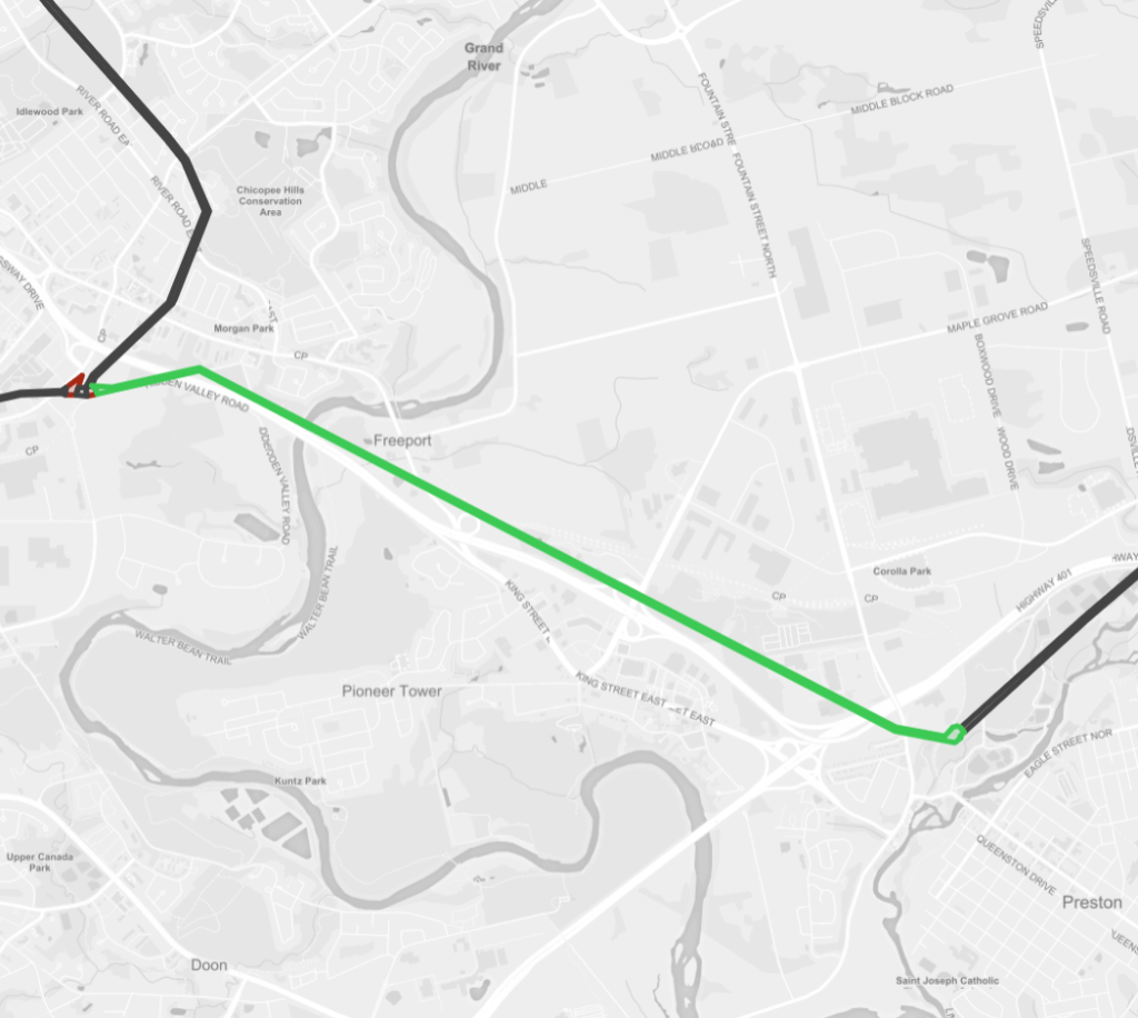
Parkway
- Length: 6.1 km
- Area: 13.5 ha
- Average Width: 22 m
Speedside
- Length: 6.6 km
- Area: 21.0 ha
- Average Width: 32 m
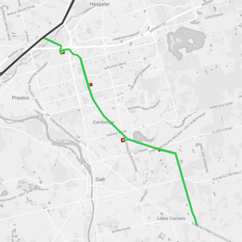
Cambridge
- Length: 12.0 km
- Area: 43.6 ha
- Average Width: 36 m
Notes and Disclaimers
- This data was created with the support of roadway and administrative boundary data from the Region of Waterloo’s Open Data Portal, made available under the Region of Waterloo Open Data Licence v.2.0 (refer to the Metroscapes Open Data changelog for dates). This data is provided ‘as is’; please refer to additional disclaimers at the Data Portal page.
- This is also, in contrast to parallel projects in Toronto and Guelph, created without the support of open property / parcel data, which is not available in Waterloo Region. Note that some utility corridors are not plainly defined by property boundaries, and may cross or abut private property, roadways and railways. Future refinements will be undertaken when available, and use some interpretive liberties based on Transport Canada’s Standards Respecting Railway Clearance and Hydro One guidance for Secondary Land Uses.
- While this page advocates for greater public access, utility corridors are private property and this page does not suggest they are all publicly accessible. Please observe all signage respecting access and activities permitted within these corridors.
Open Data
This dataset is available in multiple formats through the Open Data Portal