East of the Leslie Street Spit and the Ashbridges Bay Treatment Plant, Toronto’s shoreline is 84.2% public: 31 kilometres of beaches, bluffs and peninsulas. This is only rivalled by the future state of the Port Lands, when Waterfront Toronto finishes the new Don Mouth and converts the existing port channels into public promenades. But the eastern shoreline is not untouched. Most of the alterations consist of manmade landmass to capture sand for the beaches, create artificial spits or protect the bluffs from lake erosion.
The Beaches became a large and continuous strip due to wooden groynes built in the 1930s, capturing sand washed inland by the waves. Woodbine Beach was born out of the same work that saw the marshes of Ashbridges Bay infilled to create the Port Lands, and Lake Shore Boulevard extended to Woodbine Avenue. It was expanded again in 1975 with the addition of a large artificial peninsula.

Aerial view of Woodbine Beach, 1956. Images from City of Toronto Aerial Photographs collection.
The Beaches end at the Scarborough boundary, and the RC Harris Water Treatment Plant. Originally the site of Victoria Park (the actual park; the street was named for it), the plant built by the then-Commissioner of Public Works, Rowland Caldwell Harris, and the architect he delegated significant authority to in its design, Thomas Canfield Pomphrey.


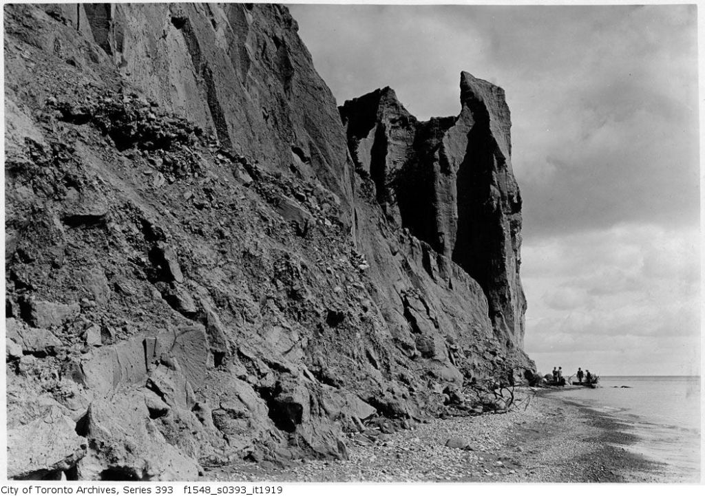
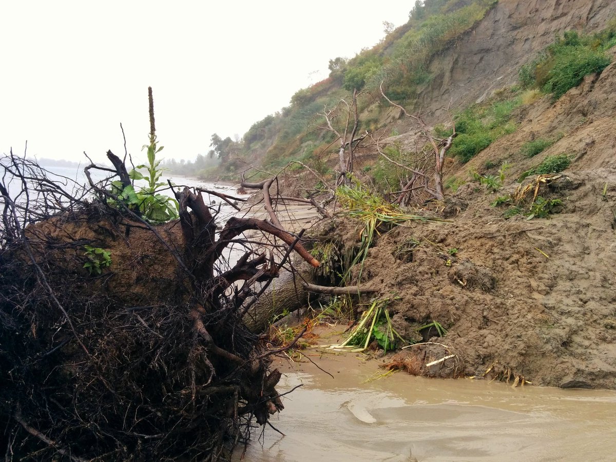
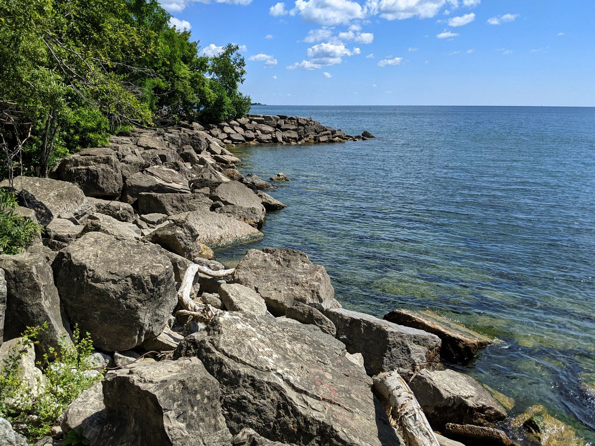
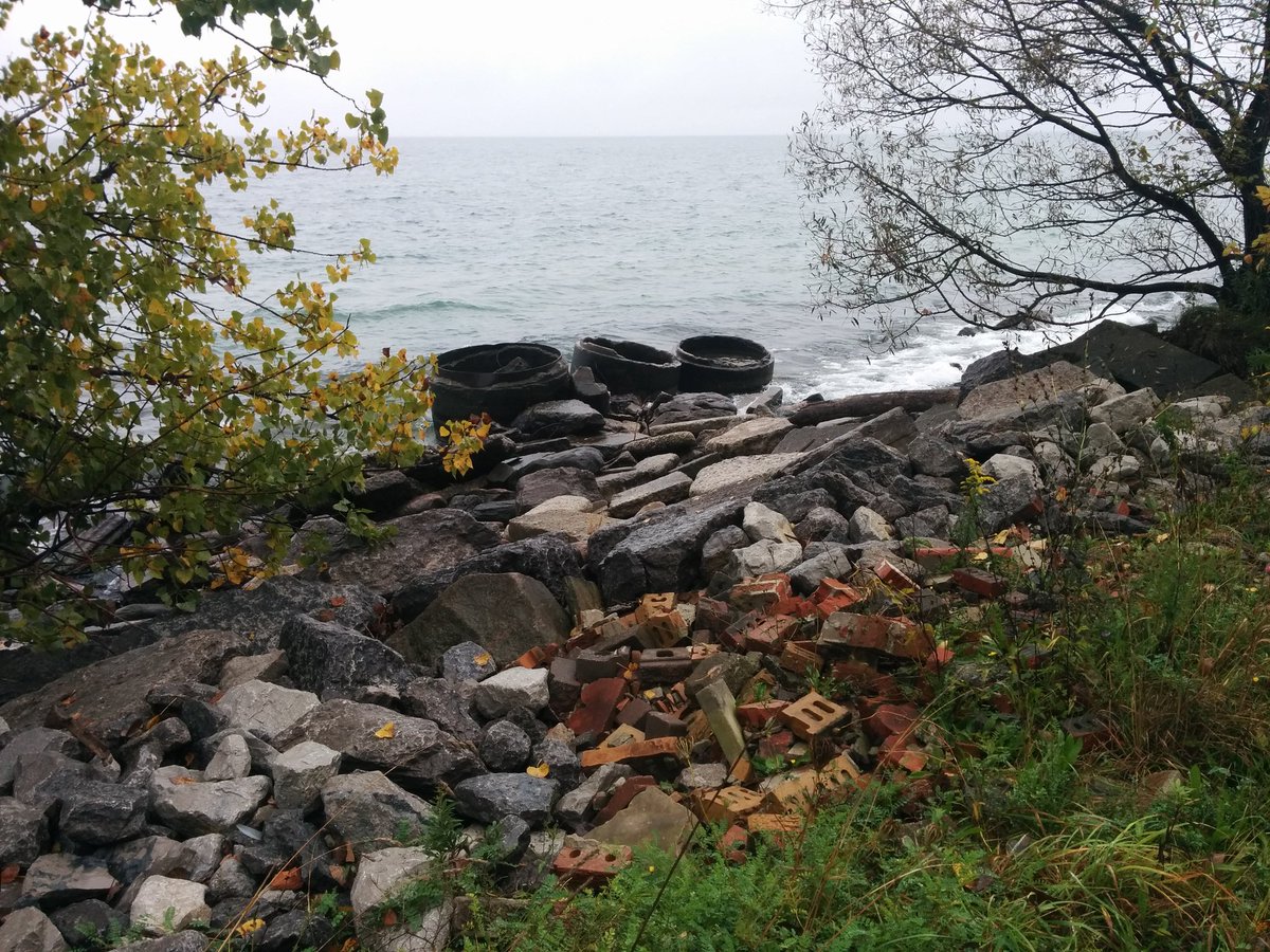
East of the RC Harris Water Treatment Plant, the Scarborough Bluffs begin to rise. Many stretches of the Bluffs undergo active erosion, and while it’s assumed to be a natural process, the reality is the erosion is faster than it has been historically. Cobble and stone deposits, combined with eroded slabs of limestone, used to line the toe of the Bluffs and offer them natural protection. However, it’s estimated 1.8 million cubic metres of these deposits and slabs were harvested in Toronto between 1830 and 1930 for construction material, and this accelerated erosion.
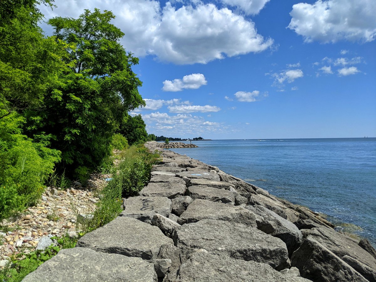
With increased erosion and the resulting impacts on the bluffs themselves and properties above, artificial shoreline protections such as armourstone revetments were placed to break the waves. Creation of Bluffer’s Park in the 1970s was also a significant project, allowing deposition of sand and creating the eastern beach to protect the bluffs inbehind.


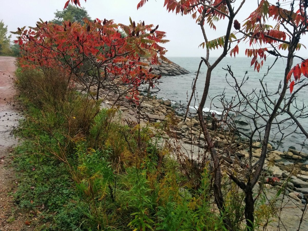
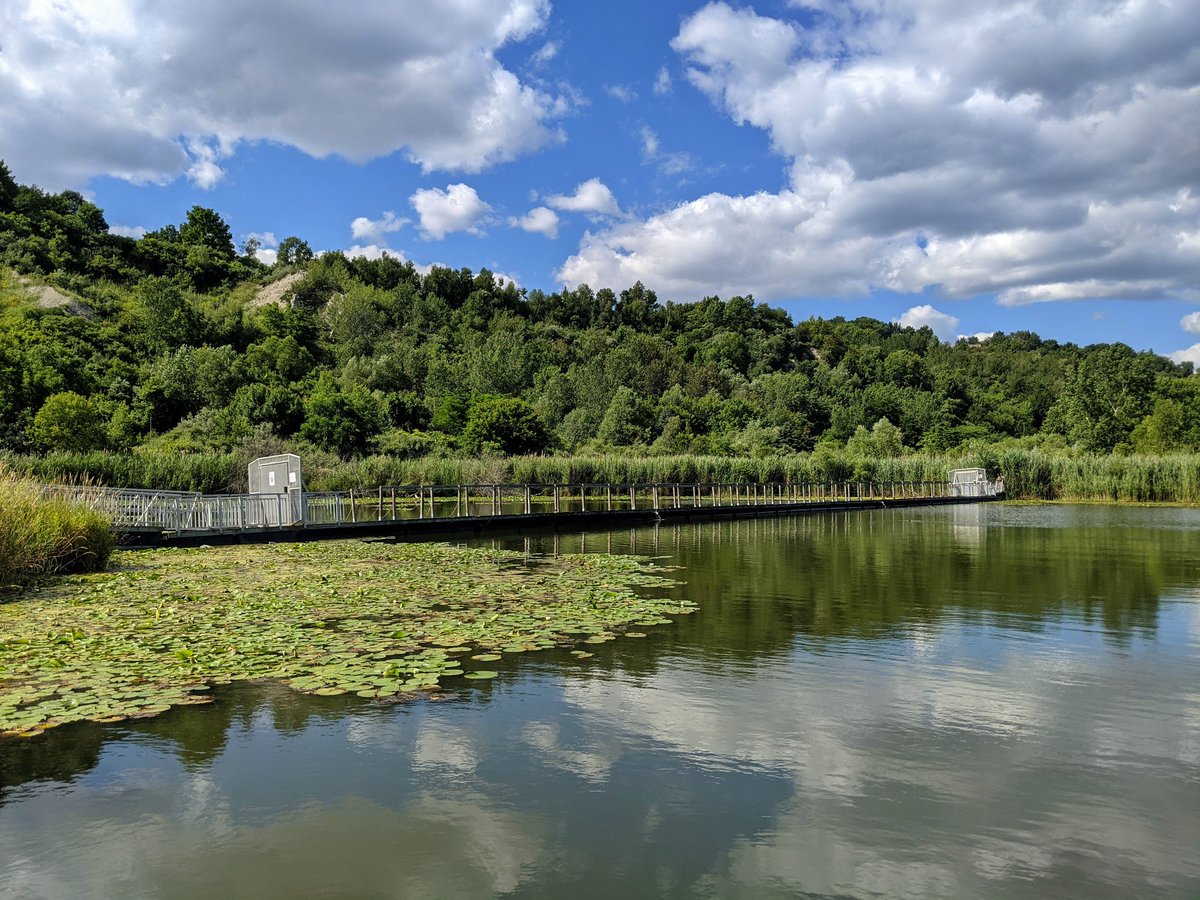
The bluffs remain at risk in some spots. The TRCA is actively evaluating opportunities to protect the shoreline as well as increase access along the bluff toe. While the 15% of shoreline private lands is concentrated between marinas at Bluffers Park and a golf course that doesn’t restrict access. Despite that, access is challenging in many spots and prohibitive to many who are not able-bodied. Any efforts to increase access to the bluffs is place-making that celebrates these unique geological treasures.


Toronto Shoreline
◄ Etobicoke | ◄ Downtown | ◄ Port Lands | East Beaches & Scarborough
