The Port Lands are home to what may be the most significant changes to Toronto’s shoreline for the next few decades. They are generally south of Lake Shore Boulevard, from where the Don River slams 90° into the Keating Channel, to Ashbridges Bay.
They consist of former wetlands infilled in Toronto’s early history to meet industrial demands, and it is composed of 3 main parts:
- The ‘Inner Harbour’, between Lake Shore Boulevard and Unwin Avenue;
- The ‘Outer Harbour’, south of Unwin Avenue; and,
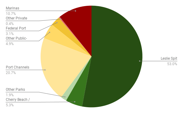
- The Leslie Spit, a peninsula that extends 5 km southwest into Lake Ontario.

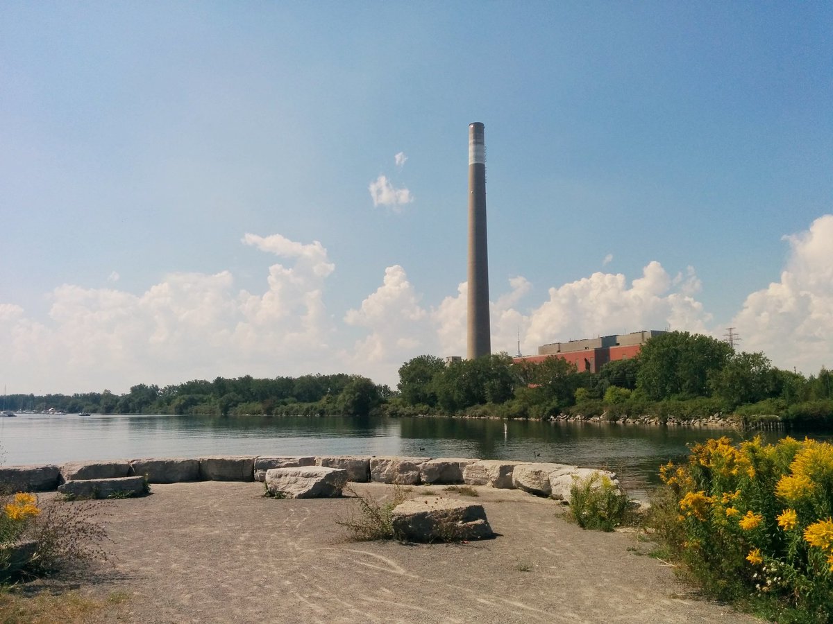
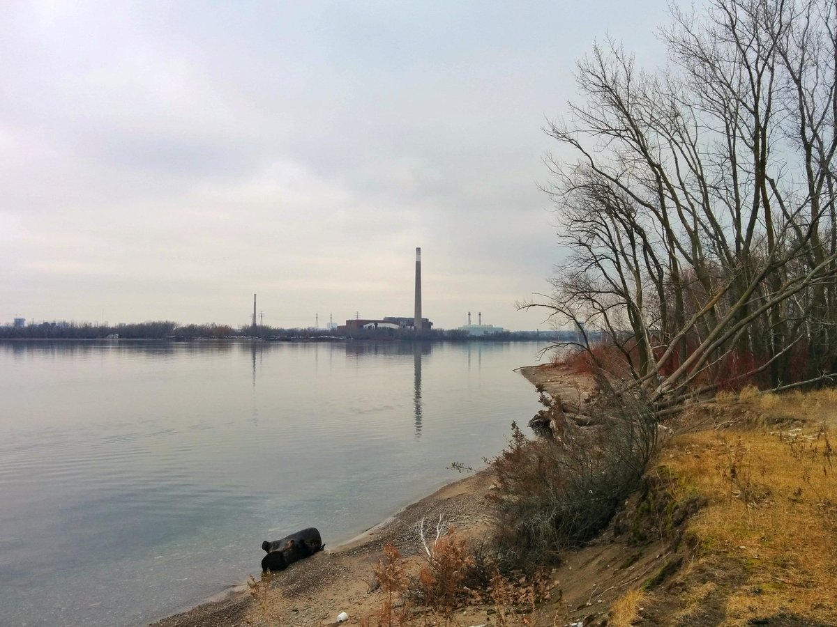
The north edge of the Outer Harbour, as well as the headlands of the Leslie Spit, are mostly public parkland. The exceptions are two marina areas that are restricted from public access, and the Ashbridges Bay Wastewater Treatment Plant. This may change if Waterfront Toronto’s Master Plan for “Lake Ontario Park” becomes reality, with public access opened up in these areas.


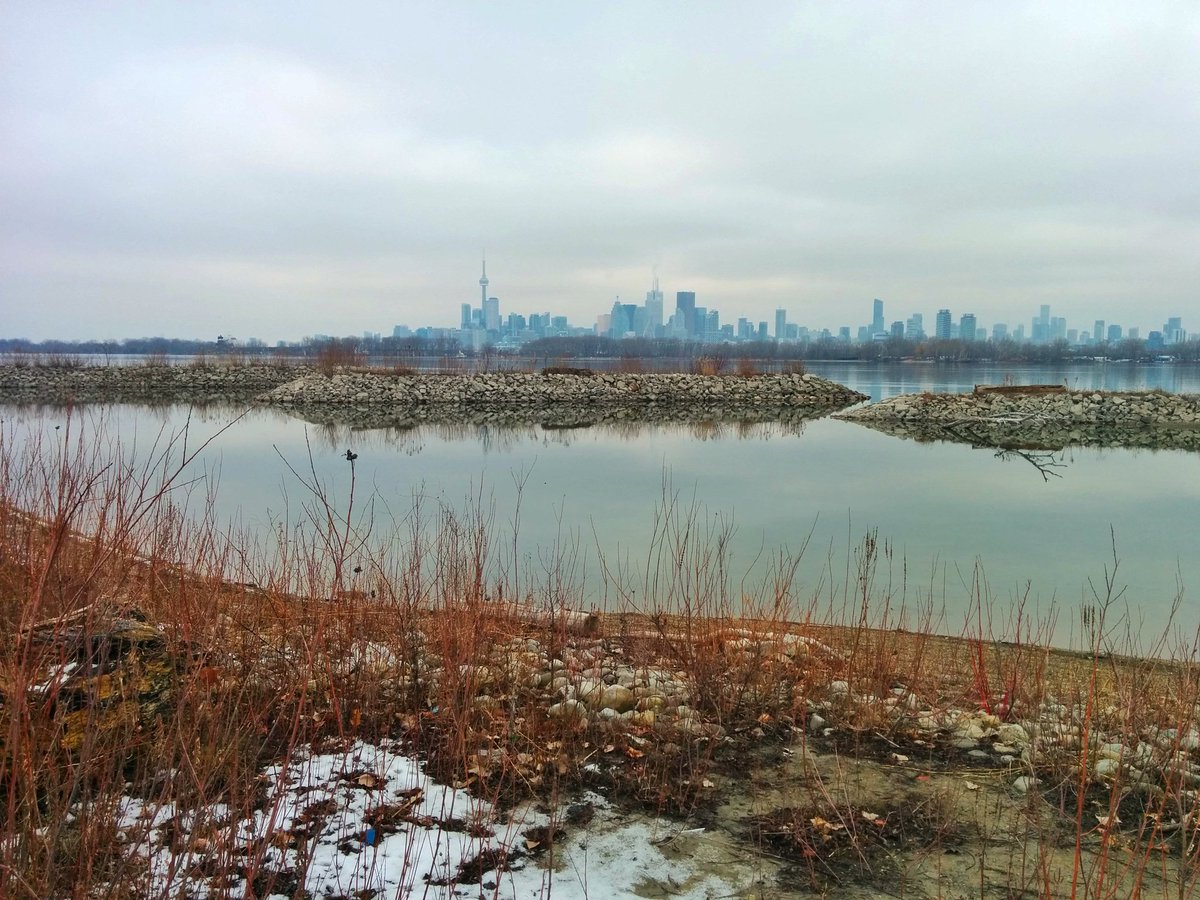
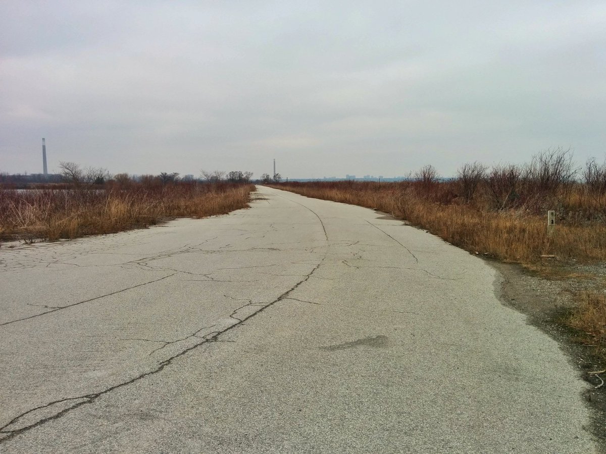
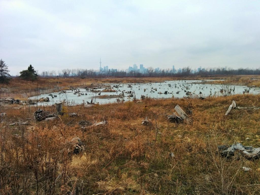
The rest of the Leslie Spit is 99% publicly owned and accessible, with some restrictions. While the upper portion of the spit is part of Tommy Thompson Park and managed by the Toronto and Region Conservation Authority, the lower portion is still an active fill dumping zone that is owned and managed by Ports Toronto. These sites of fill dumping are being converted to wetlands in the long term, and therefore there are changing restrictions on the areas and times that people can access the shoreline of the spit.


But the biggest changes are happening in the Inner Harbour, where much of the water’s edge is owned by Toronto Port Lands Company (TPLC). This area is undergoing dramatic redevelopment, with the biggest change being the carving of a new mouth for the Don River. This will give the Don a more natural outflow into Lake Ontario, and create a new island (Villiers Island) in the process. In addition, all of the other piers and ship channels owned by TPLC are to be converted into parkland or publicly accessible urban promenades.

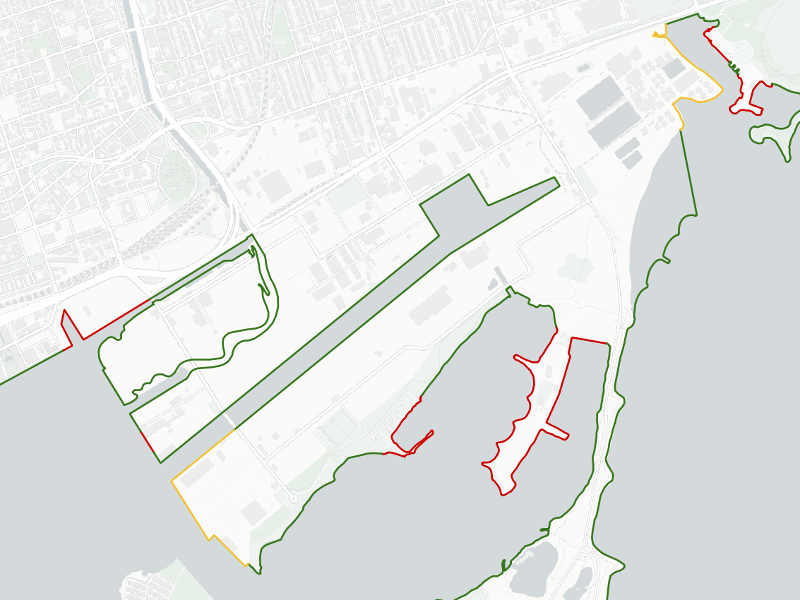
When you exclude the Leslie Spit, these changes will dramatically increase the amount of publicly accessible shoreline. Only three segments will not be public access: the Rebel nightclub, the federal port, and the Outer Harbour Sailing Federation. The exact amount of parkland that are complete, and when they open, is still currently subject to flux.
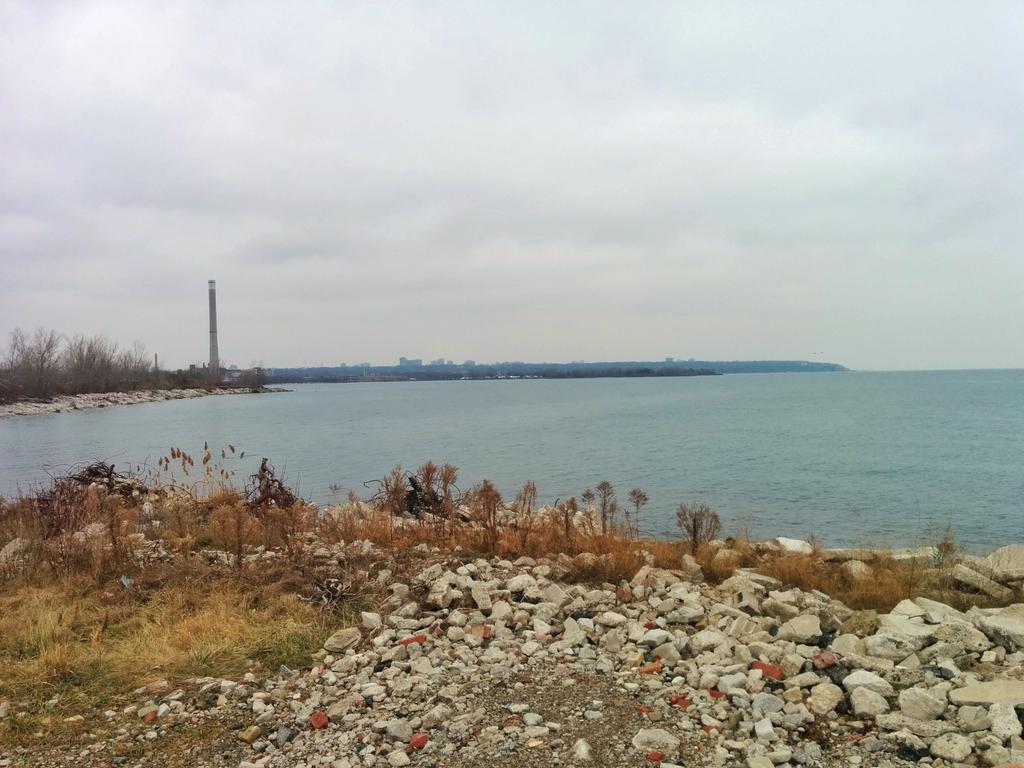
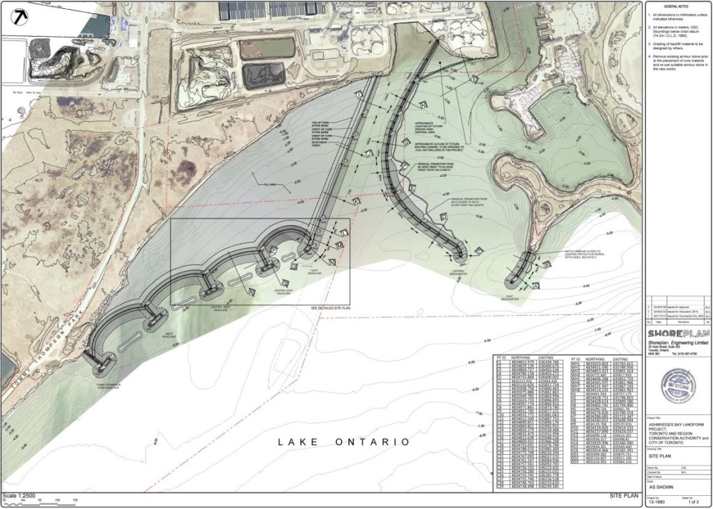
There is movement to improve the public realm closer to Ashbridges Bay as well. While the Ashbridges Bay Landform Project was driven by boats coming in and out of the bay’s marina and boat launch, and the need for annual dredging to keep a clear channel, it was also to address erosion and stop the lake from eating the land away. Publicly accessible shoreline here increases from 500 to 840 metres, but the whole east edge of it will remain as part of the wastewater treatment plant.
Event including the spit, all these changes will significantly boost public access in the Port Lands.


Toronto Shoreline
◄ Etobicoke | ◄ Downtown | Port Lands | East Beaches & Scarborough ►
