Back in September 2017, I traversed Etobicoke’s lakeshore. It was an enjoyable yet frustrating experience, as public ownership and access is very fractured, particularity in the western stretch. For comparison, much of Toronto’s waterfront is publicly accessible, and this will be increased further downtown through redevelopment by Waterfront Toronto, and in Scarborough through bluff and shoreline restoration/protection by the Toronto and Region Conservation Authority. However, south Etobicoke remains a sticking point, with a great number of properties remaining on the lakefront, keeping the shore privatized.
But at the time, before I had gathered any data, I had to ask myself: is South Etobicoke truly more privatized than other parts of Toronto’s waterfront? Or is it purely anecdotal?
That’s where the idea for the Toronto Shoreline project started, and I now have the numbers to make that determination.


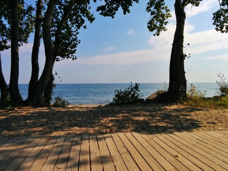
Nearly 3.6 kilometres of Etobicoke’s shoreline is private, forming the backlot boundary of about 172 houses, 6 apartment buildings, and 1 consular building. This is 17.0% of Etobicoke’s shoreline, which doesn’t sound like much. However, there are 2 major places that significantly reduce this percentage: Humber Bay Park and Colonel Samuel Smith Park.
These parks are artificial peninsulas built southwards into the lake, making them an anomaly. They account for 10.5 km or half of Etobicoke’s shoreline, yet it’s only 1.2 m of distance as the crow flies between their west and east accesses from the surrounding street grid. That’s almost a factor of 9, but is it something that should be discounted? There’s arguments to be found on both sides.
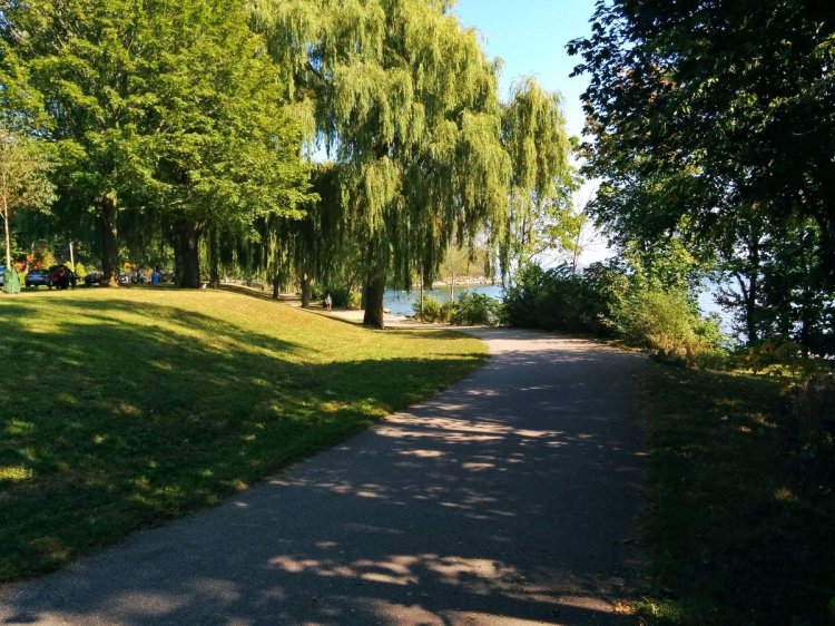


The conversion of Etobicoke’s shoreline into publicly accessible parkland began in the 1970s, courtesy of efforts by the Metropolitan Toronto and Region Conservation Authority (now TRCA, striking the “metro” prefacing when Toronto was amalgamated). Prince of Wales Park and Long Branch Park were two of the first peninsula parks completed in 1974, albeit on a smaller scale.
A considerable amount of shoreline is publicly accessible parkland on both sides of Humber Bay Park. Humber Bay itself used to host a number of hotels since the 1800s, but the area began to go into decline after World War II. TRCA began redevelopment in the area with the creation of Humber Bay Park’s artificial peninsulas, which were completed and opened in 1984 at a cost of $6.56 million ($14 million in 2017 dollars).


The hotels and motels along ‘the strip’ west of the Humber River and south of the Gardiner were all demolished. Palace Pier (near where the Gardiner crosses the Humber River) was the first residential building in the area, completed in 1978. A subsequent wave of towers began after completion of Humber Bay Park, with the south tower of Palace Pier, and two additional developments west of Mimico Creek, finished between 1990 and 1993. A plan for a shoreline park wasn’t published until 1996. After this, development resumed in 2000, and is continuing today, albeit with a fully accessible and public shoreline.

Overall, private lands account for nearly a quarter of Etobicoke’s shoreline, and over a quarter of all private shoreline in Toronto. Use the navigation links below to compare it to other parts of Toronto.


Toronto Shoreline
Etobicoke | Downtown ► | Port Lands ► | East Beaches & Scarborough ►
