The former City of Toronto that existed prior to amalgamation at the end of the 20th century (sometimes referred to as “Old Toronto”) stretches from the Humber River in the west, to the RC Harris Water Treatment Plant in the east.
For the purposes of this project, I have broken up this stretch to go only as far east as the Don River, so that the Port Lands can analyzed separately. I will refer to it as the “downtown shoreline”, which can be broken into two distinct segments: the open parkland stretch that includes Sunnyside and Ontario Place, and the “central waterfront” that exists south of Queens Quay and Lake Shore Boulevard.
Sunnyside was a very popular recreation area in the early days of Toronto’s founding and development. It would attract crowds of swimmers and beachgoers in the early 1900s. The Sunnyside Bathing Pavillion was built in 1922 to provide changing rooms for bathers, and three years later, a standalone swimming pool was added. The pavillion and pool still stand today, and continue to be owned and operated by the City. There was also an amusement park, roughly southwest of the King / Queen / Roncesvalles intersection. I highly recommend checking out Doug Taylor’s blog on Toronto’s history, in particular his piece on the Sunnyside Amusement Park, for a more detailed history.

Sunnyside today looks way different than the past. Like the rest of downtown Toronto, it is based on lakefill. The Queensway sits on top of what used to be bluffs, similar to the Scarborough Bluffs, but shorter. At the foot of these bluffs, a large recreational district existed which reached its golden years in the 1930s and 1940s, with extensive beaches, the amusement park, and even dedicated streetcar service.
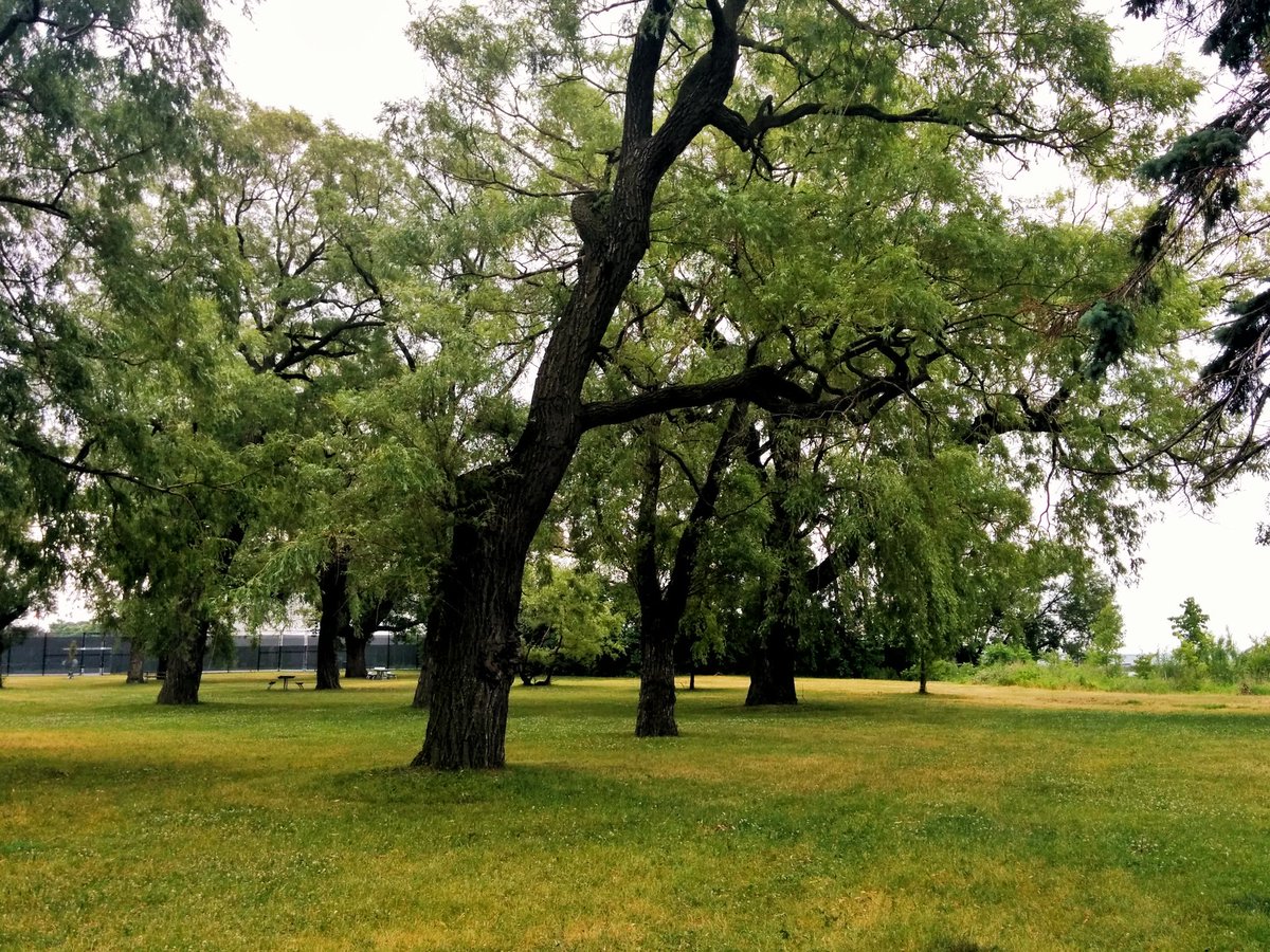

In the present day, those beaches are now covered by decades of urbanization: the Grand Trunk (now Canadian National) Railway lines, electrical tramission lines and other utilities, Lake Shore Boulevard, and the Gardiner Expressway. The parkland and beaches that exist today are a sliver of what they used to be. That said, a large chunk of Sunnyside is public parkland. Only four exceptions exist: Palais Royale, The Boulevard Club, The Toronto Sailing Club, and the Argonaut Rowing Club. These four private clubs account for almost 600 metres (16.5%) of Sunnyside shoreline. And with 2.4 kilometres of uninterrupted access between the Humber and the Sunnyside Pedestrian Bridge, it’s hard to complain.
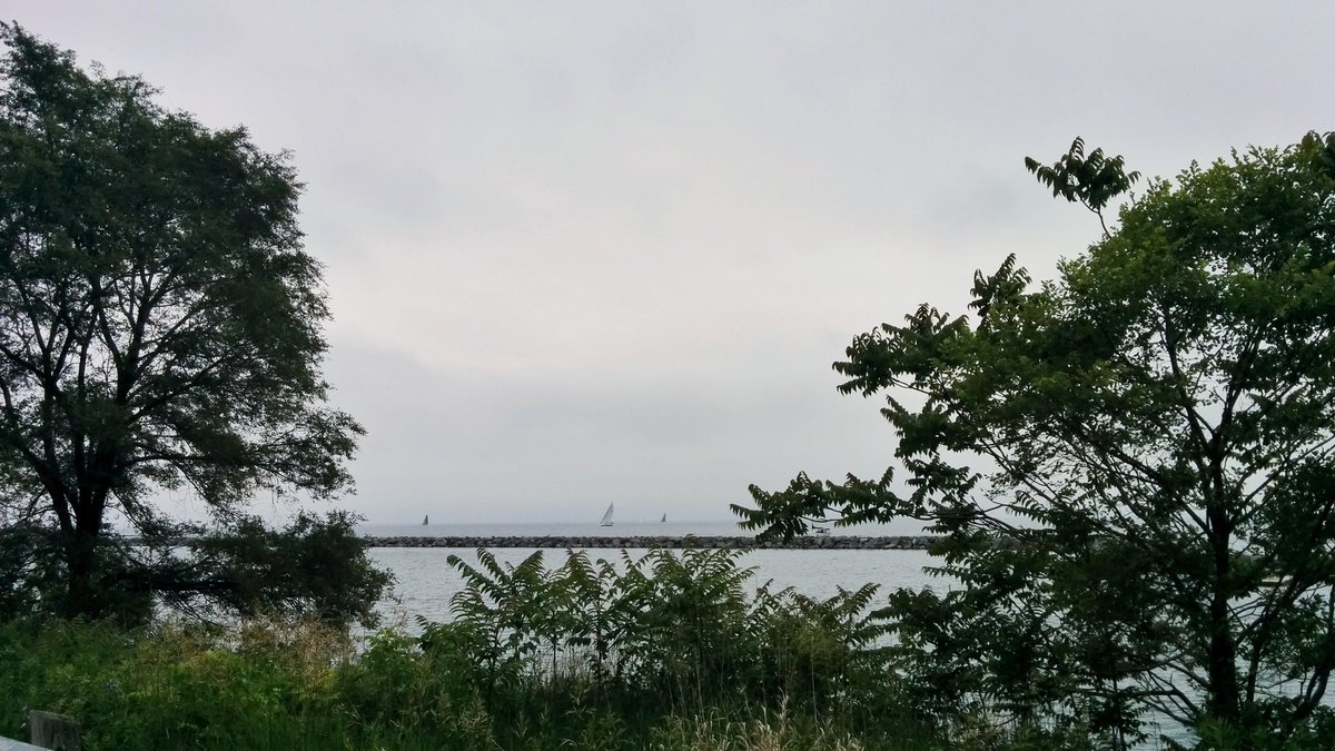
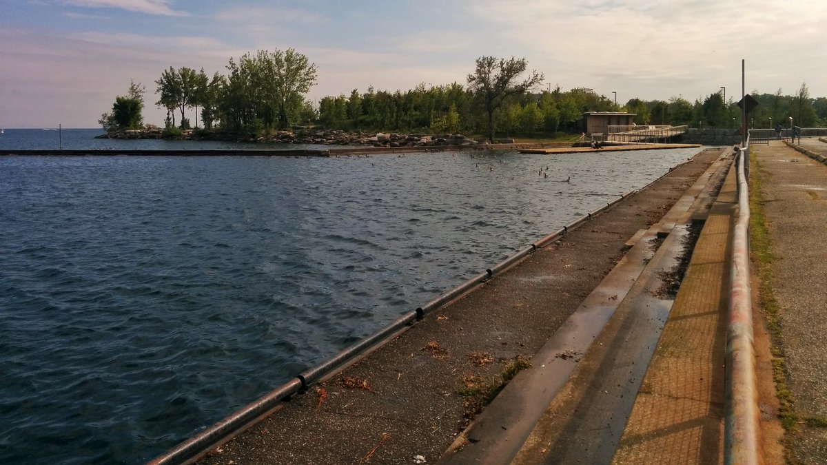
East of the Argonaut Rowing Club is Marilyn Bell Park, and this is where the natural shoreline ends. The shoreline is all dockwalls from here to the Don River, as it is the extension of the original shoreline. At least as far back as 1947, an artificial dockwall existed between Dunn Avenue and Bathurst Street. Small amounts of additional infill occurred to form the parking lots south of Lake Shore Boulevard in 1960, and landings for bridges to Ontario Place in 1970.


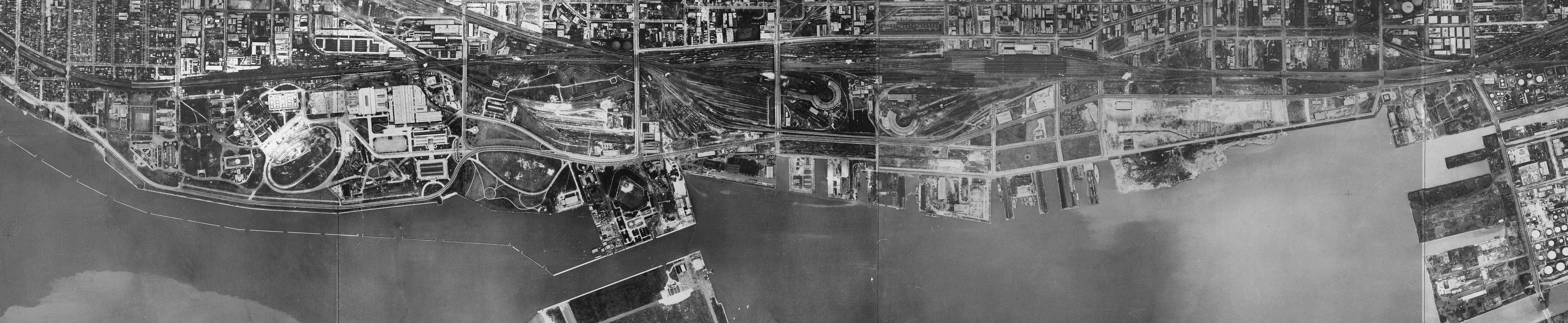
East of Bathurst Street, Front Street represented Toronto’s original shoreline when it was first being settled, so anything south of it is infill dating from the 1920s. Many quays and slips were constructed for industry, and provided a place to import or export goods by ship. By 1956, most of the filling had been completed, with additional modifications to Spadina Quay and a southerly shift of Queens Quay Boulevard in the mid 1980s.
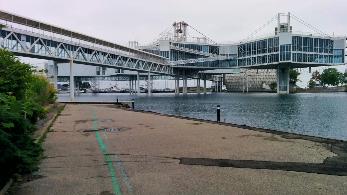
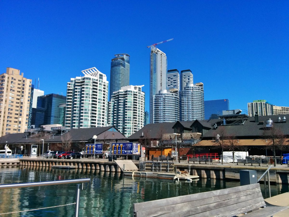
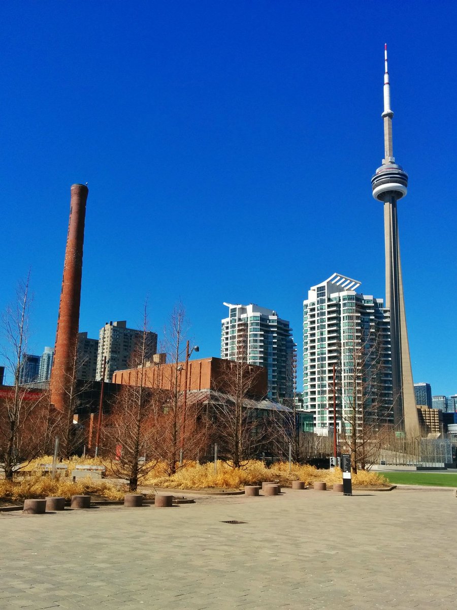
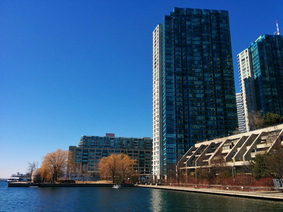
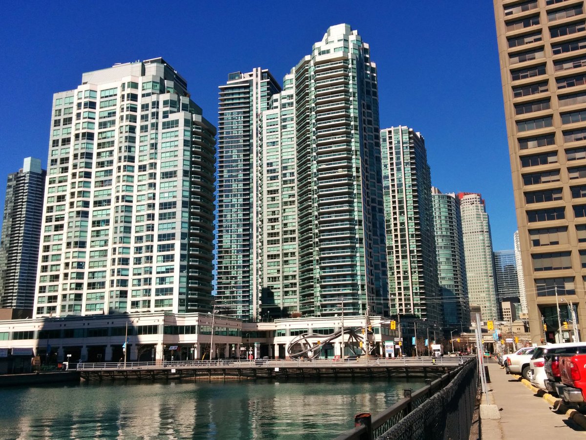
Being an industrial creation, much of the central waterfront was not open for public access, and was restricted to industrial uses. But with the rise of transport trucks and the decline of shipping, much of the area became a dilapidated wasteland. This motivated the federal government to create the Harbourfront Corporation in 1972, with a mandate to rejuvenate the central waterfront between York Street and Stadium Road. Its home base on York Quay became the first significant public space along the central waterfront. A second, Harbour Square Park, coincided with the construction of the Harbour Square condominiums (west of the ferry docks) in the late 1970s.
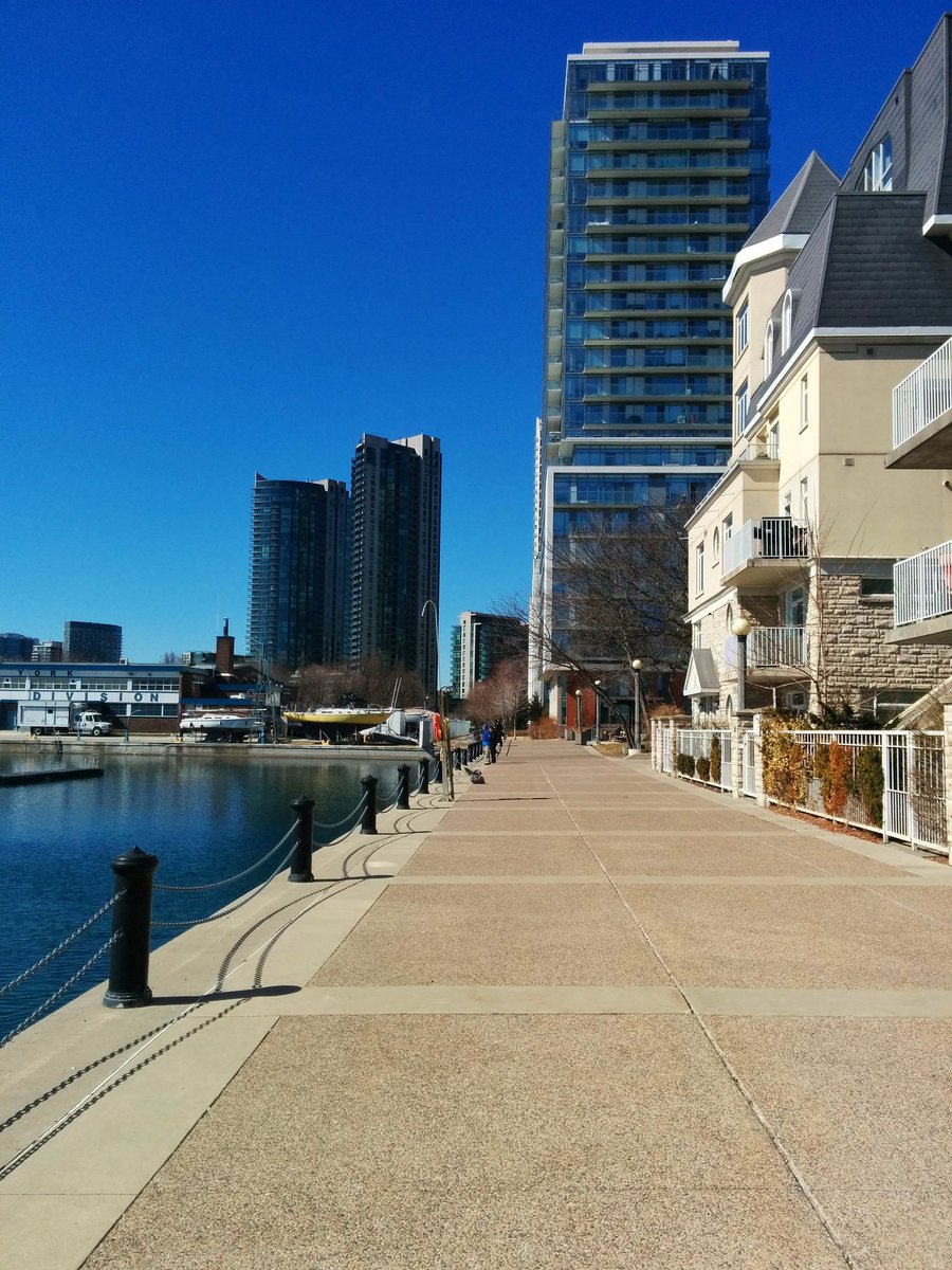
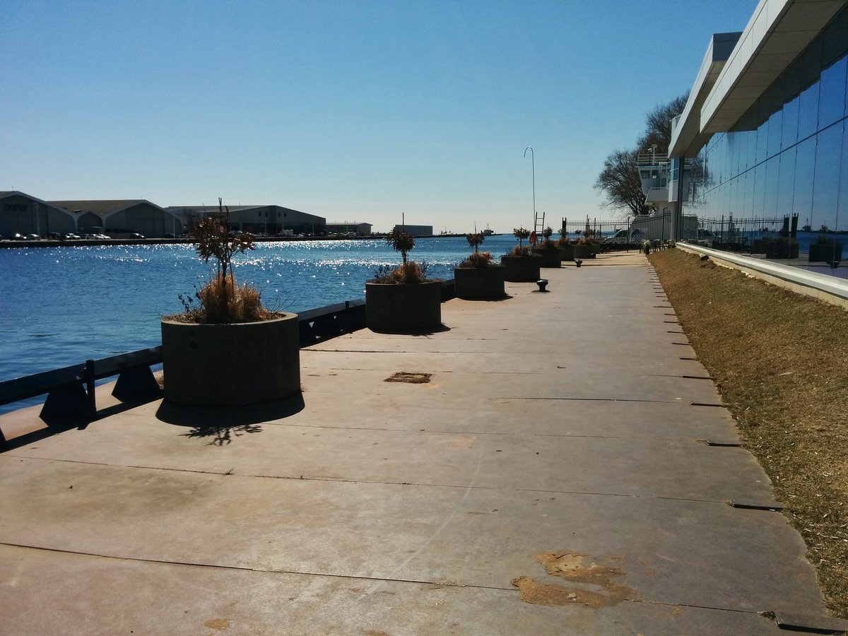

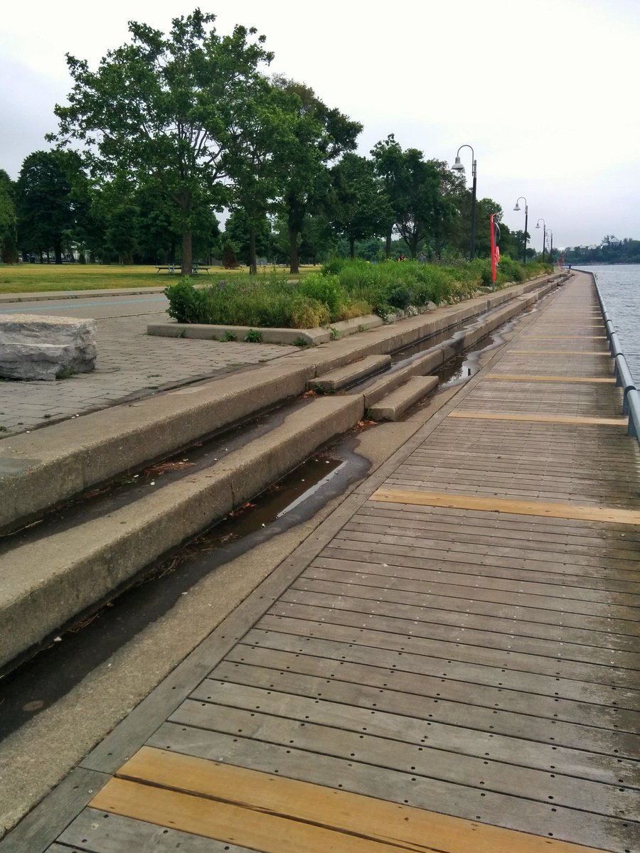
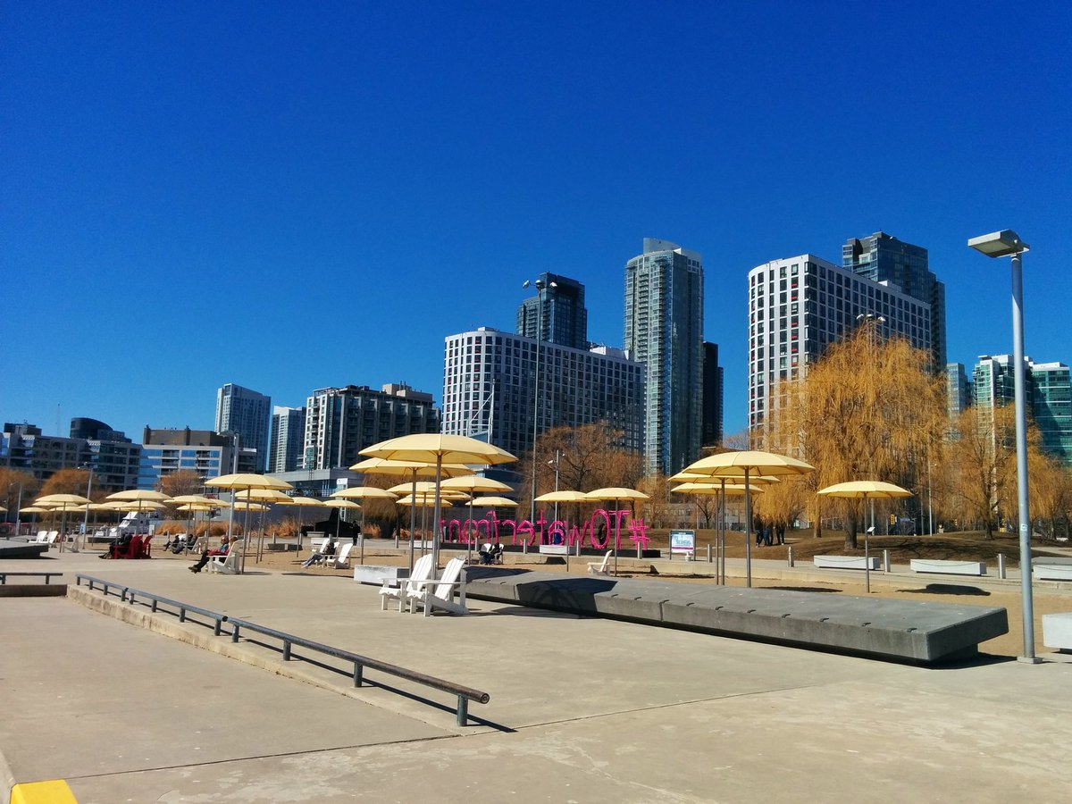
The 1980s saw the beginnings of a park on Spadina Quay, the extension of Queens Quay Boulevard, and some opening of the shoreline with the increase in private sailing and marina activity. Otherwise, progress on revitalizing the central waterfront stagnated after many studies and plans. Finally, in 1999, Waterfront Toronto was established as a tri-governmental agency with a renewed focus on revitalization, and this ushered in significant change to the central waterfront. Toronto Music Garden, Ireland Park, HTO Parks East and West and Sugar Beach were opened between 1999 and 2010. Ontario and Canada Squares replaced the parking lot at the Harbourfront Centre in 2013. Queens Quay Boulevard was reconfigured, with a wide cycling trail and pedestrian promenade replacing the eastbound lanes in 2015.


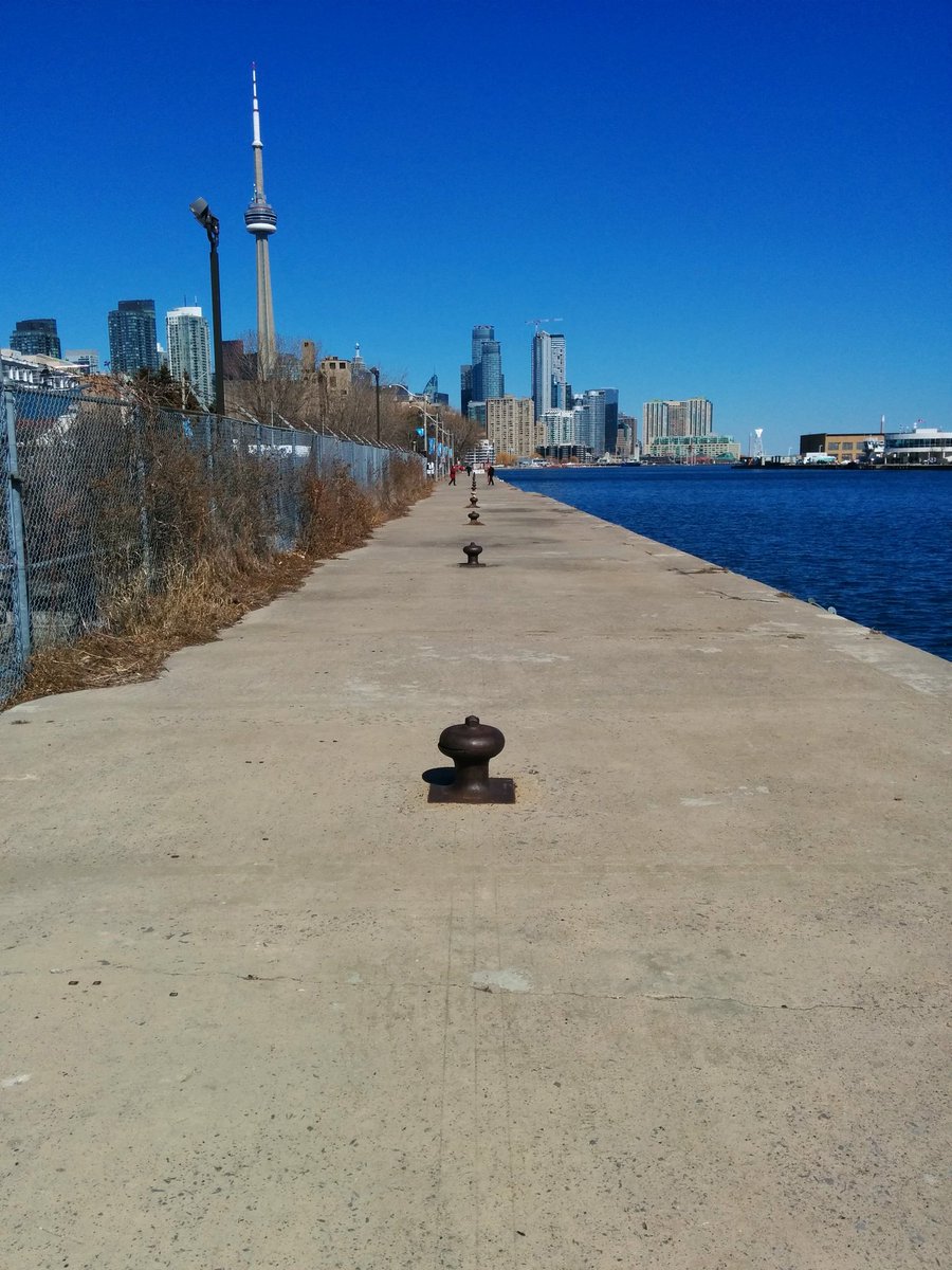
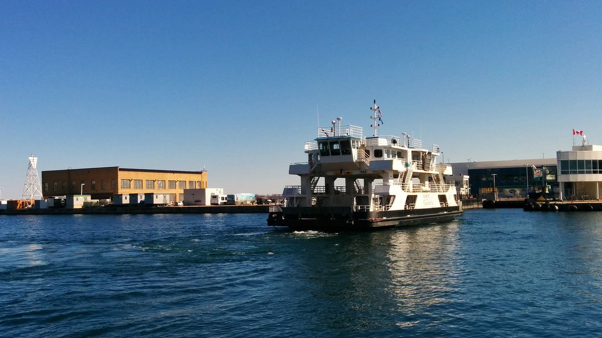
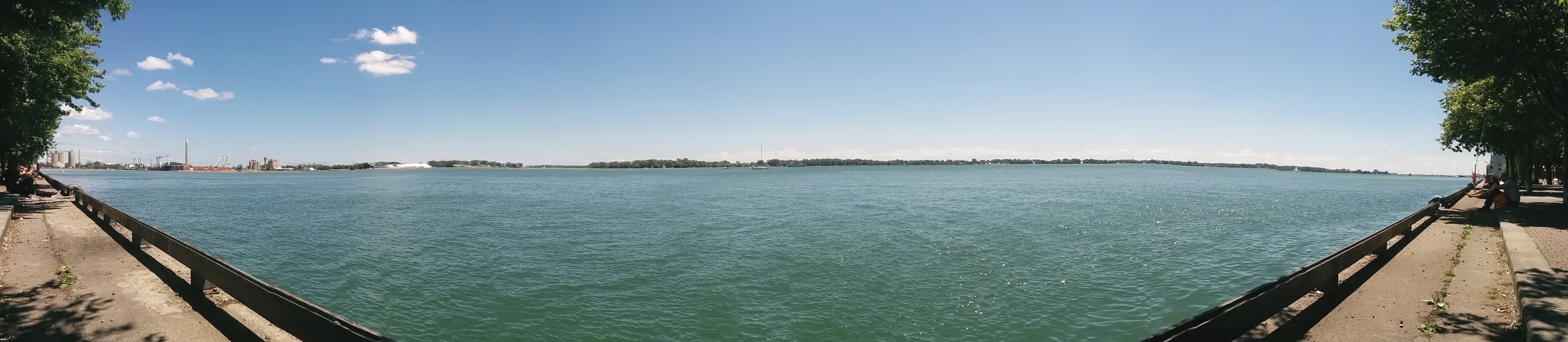
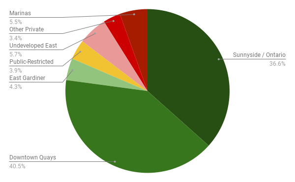
Work has been completed as far as Small Street, and 78% of the downtown shoreline is publicly accessible as of 2022. Another 8% will be freed up with the redevelopment of the East Bayfront area west of Cherry Street. The remaining 14% is tied up at Redpath Sugar, the Jack Layton Ferry Terminal, Toronto Police’s Marine Unit Boathouse, and a number of private marinas and clubs.


Toronto Shoreline
◄ Etobicoke | Downtown | Port Lands ► | East Beaches & Scarborough ►
