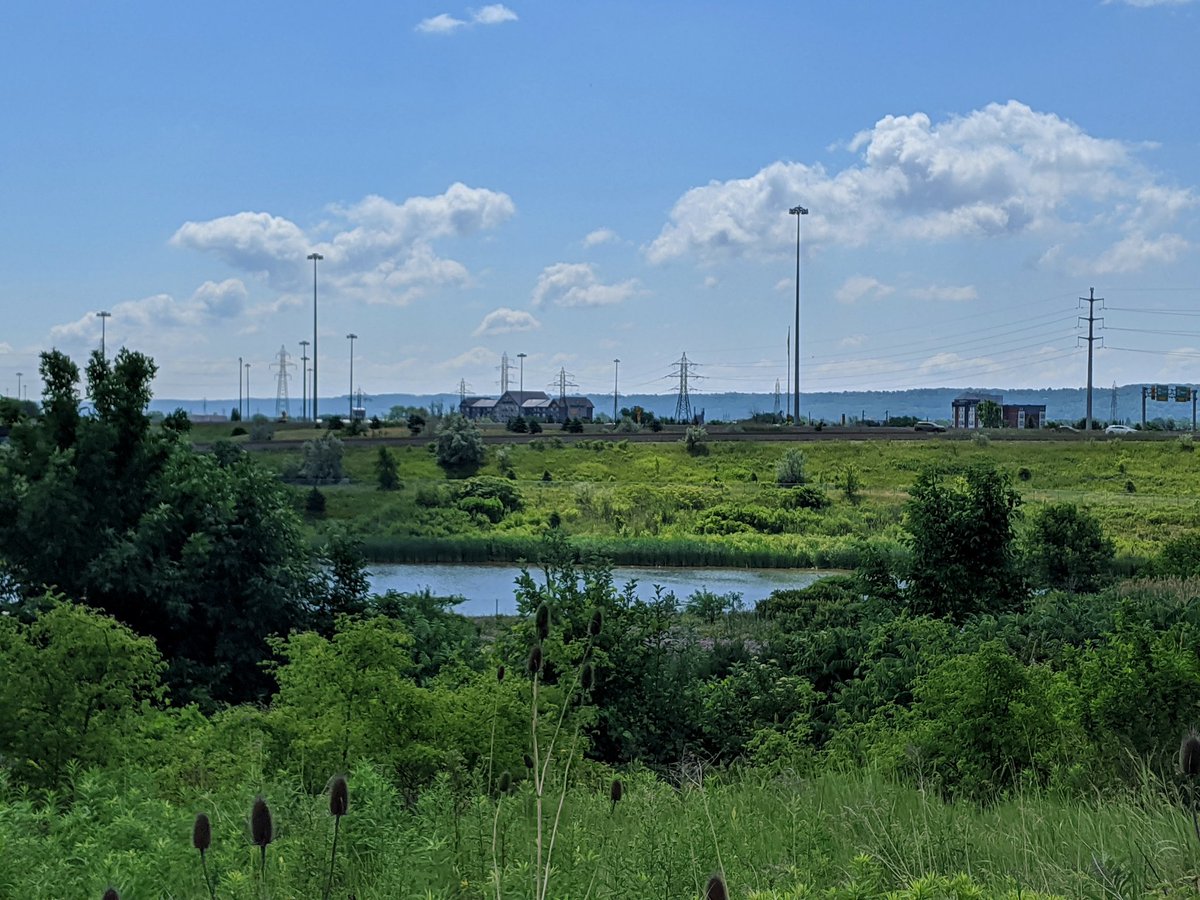
Exploring hydro corridors in Hamilton was inspired by The Meadoway in Toronto, and exploring the hydro corridors there.
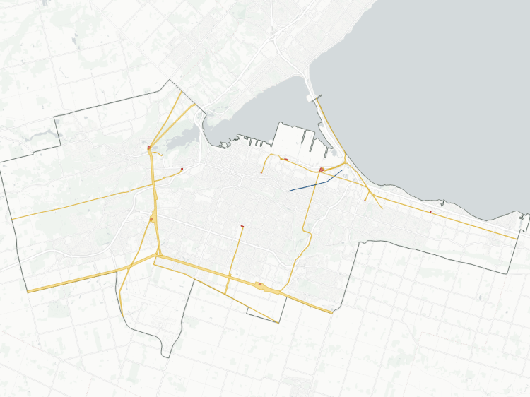
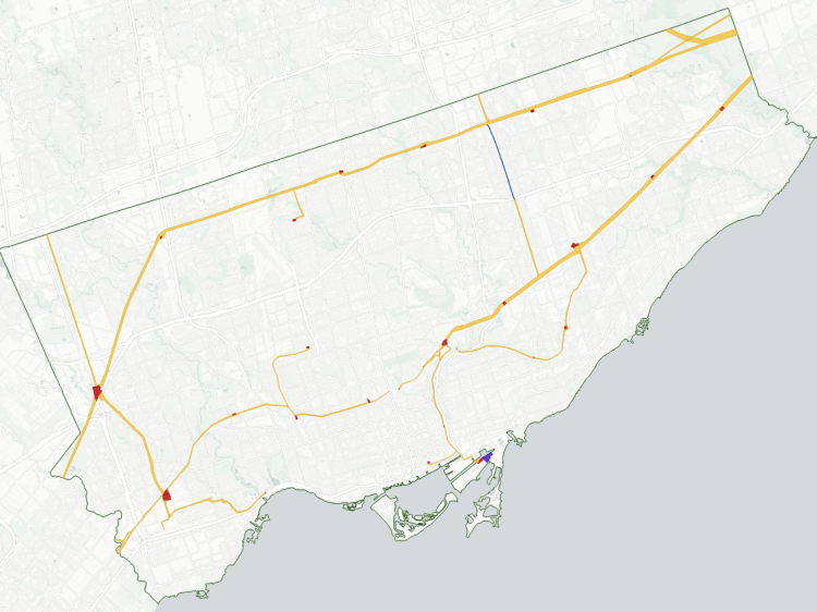
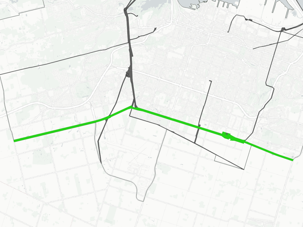
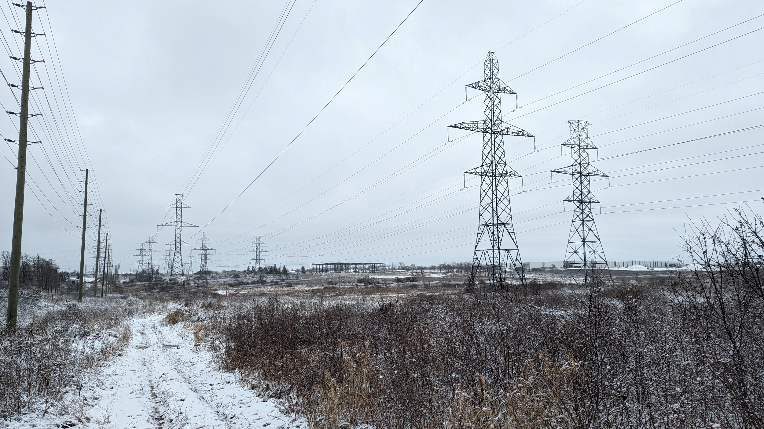
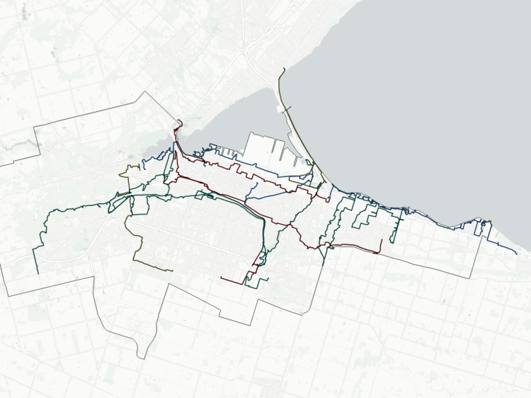
Within the urban area of Hamilton, there are 13 active hydro corridors within the area of analysis. There’s also a historic water pipeline corridor, and while hydro corridors are also used for pipelines, there is a small dedicated natural gas corridor. Altogether, these stretch a total length of 125 km and cover an area of 956 hectares. Below is a short inventory of those corridors.
- Beach – Harbour
- Niagara
- Gibson – Industrial
- Parkview – Lakeley
- Red Hill – Strathearne
- South Trunk
- Mohawk
- Twenty Plus
- Dundas Mountain
- Airlink
- Chedoke
- Cootes / McMaster
- Pipeline Trail
- Notes and Disclaimers
- Hydro in Other Cities

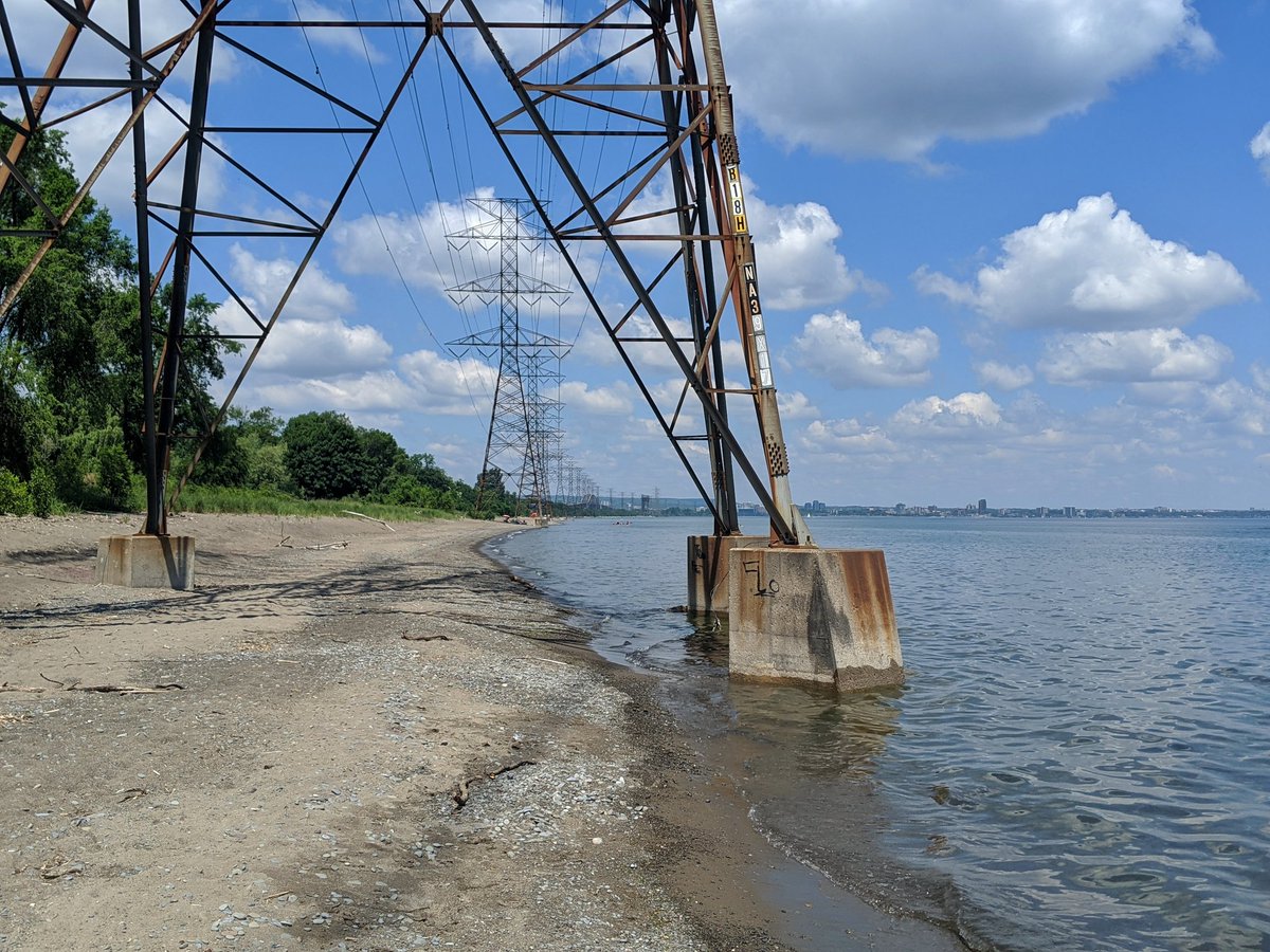
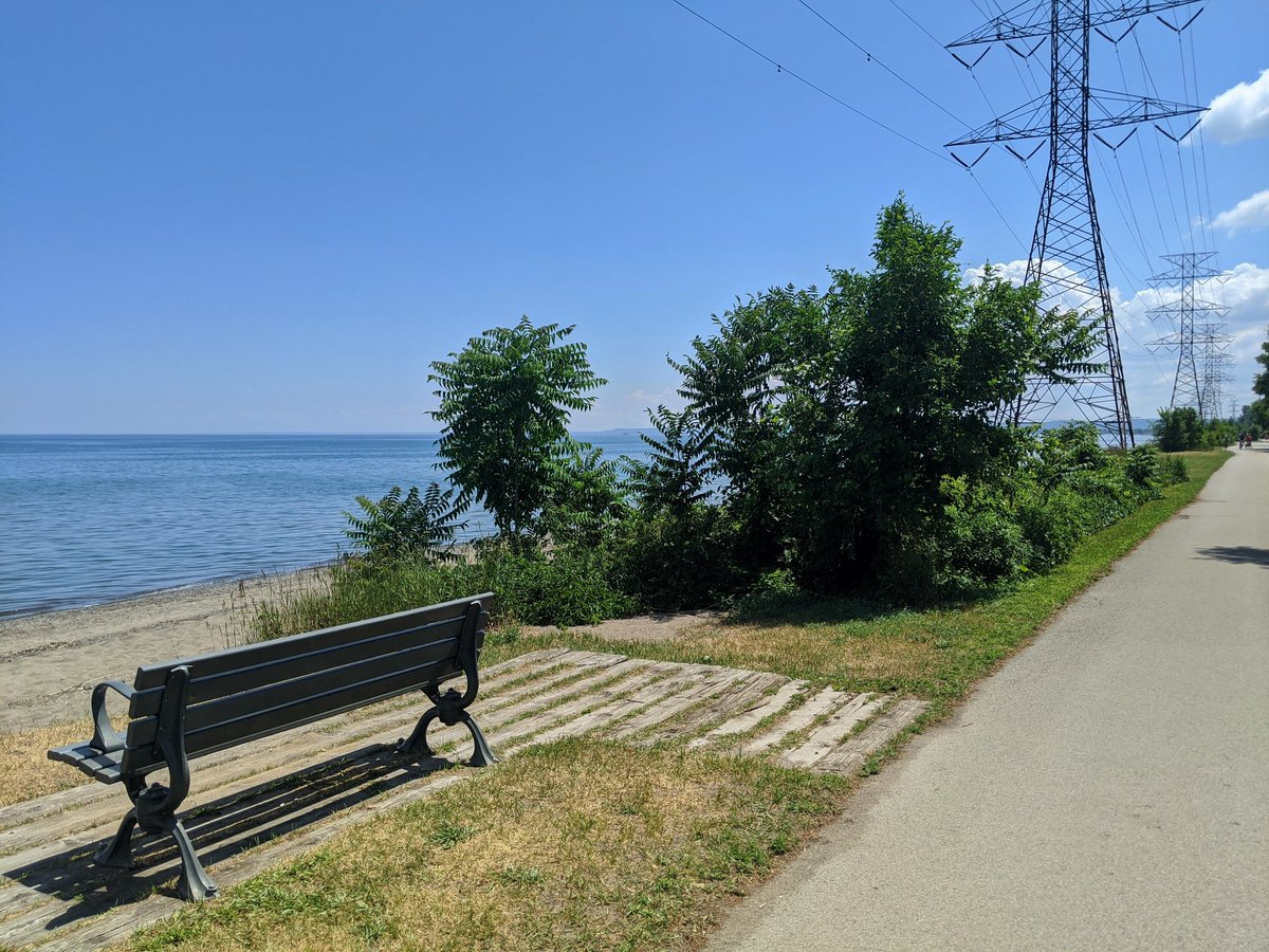
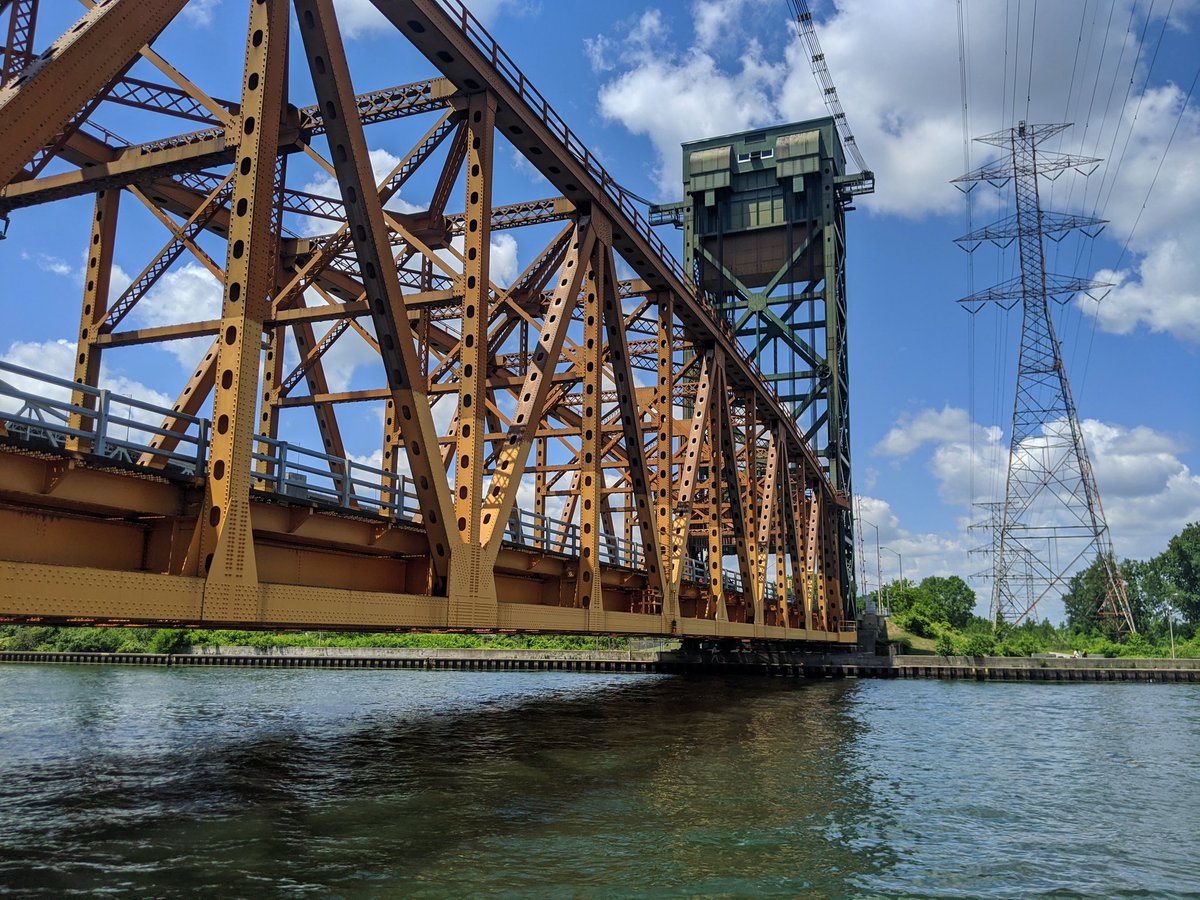
Beach – Harbour
Length: 6.4 km
Area: 20.1 ha
Average Width: 31 m
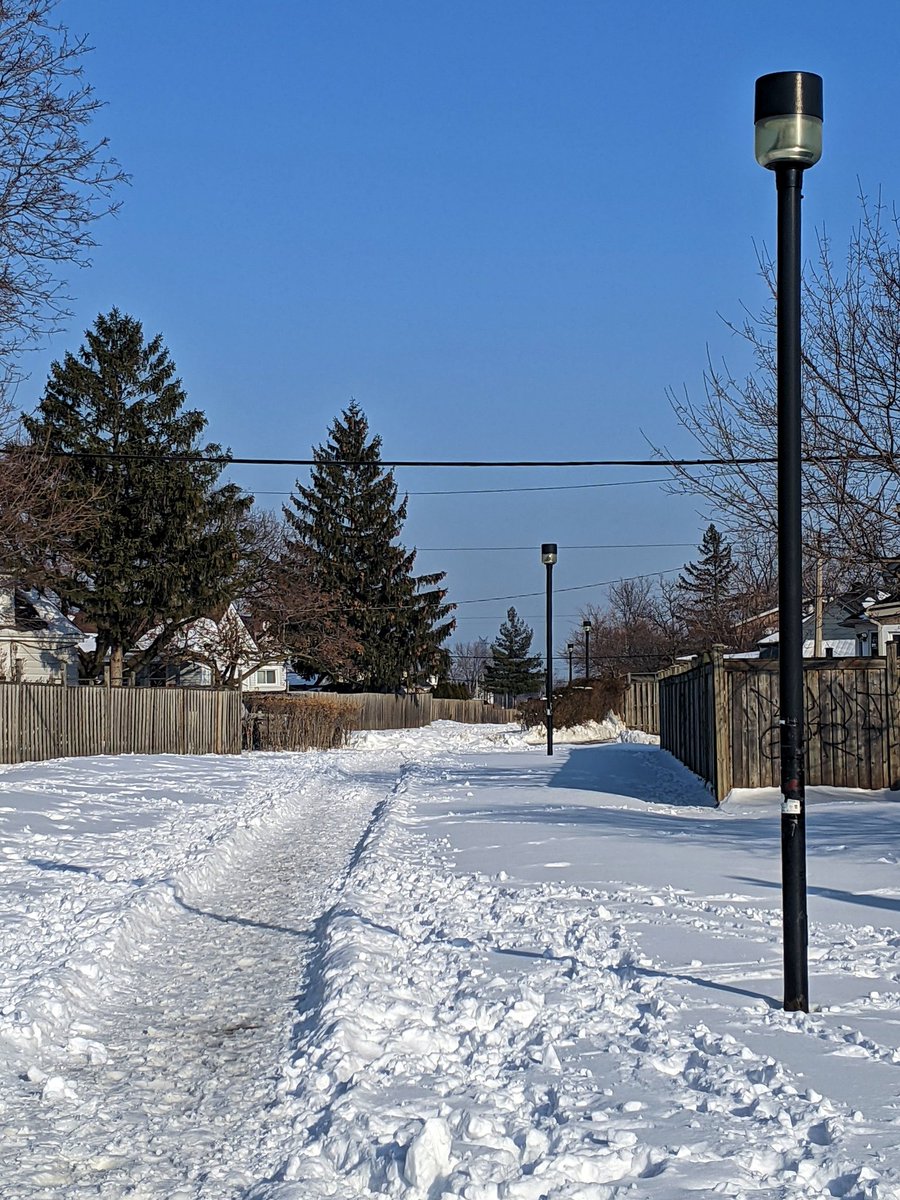
This corridor runs from the Beach Transformer Station in Industrial Sector G, parallel to Nikola Tesla Boulevard and over the QEW to the beach strip, where it traverses the shoreline towards Burlington. While the industrial section isn’t walkable, the space along the beach makes for great public space and a unique metroscape.
Check out Beach Hydro for more images and descriptions.
Also check out the YouTube video about this corridor.


Niagara
Length: 15.5 km
Area: 41.7 ha
Average Width: 27 m
This corridor runs east from the Beach Transformer Station in Industrial Sector G along Brampton Street, before shifting to parallel a rail corridor towards Niagara. Most of the corridor is not walkable and taken over by adjacent industrial / commercial activites.


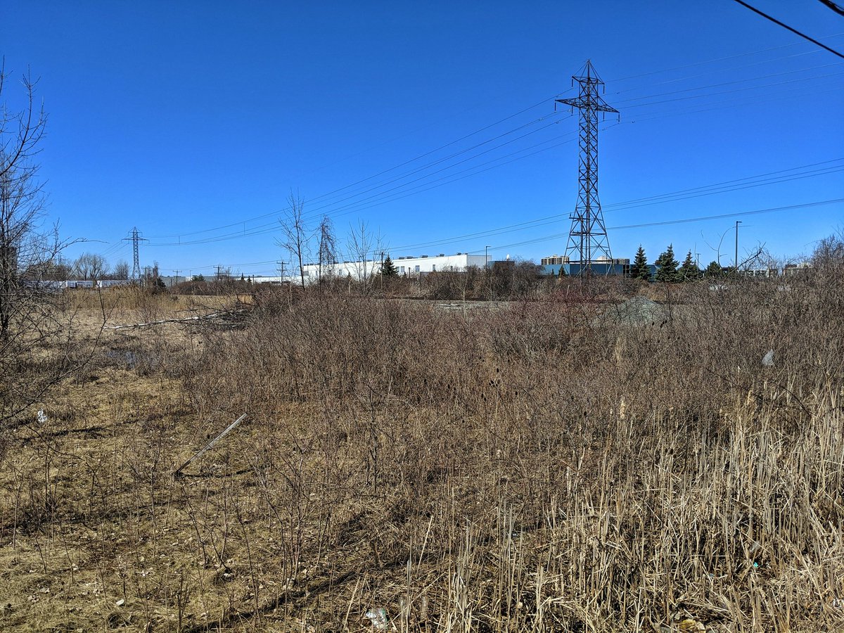


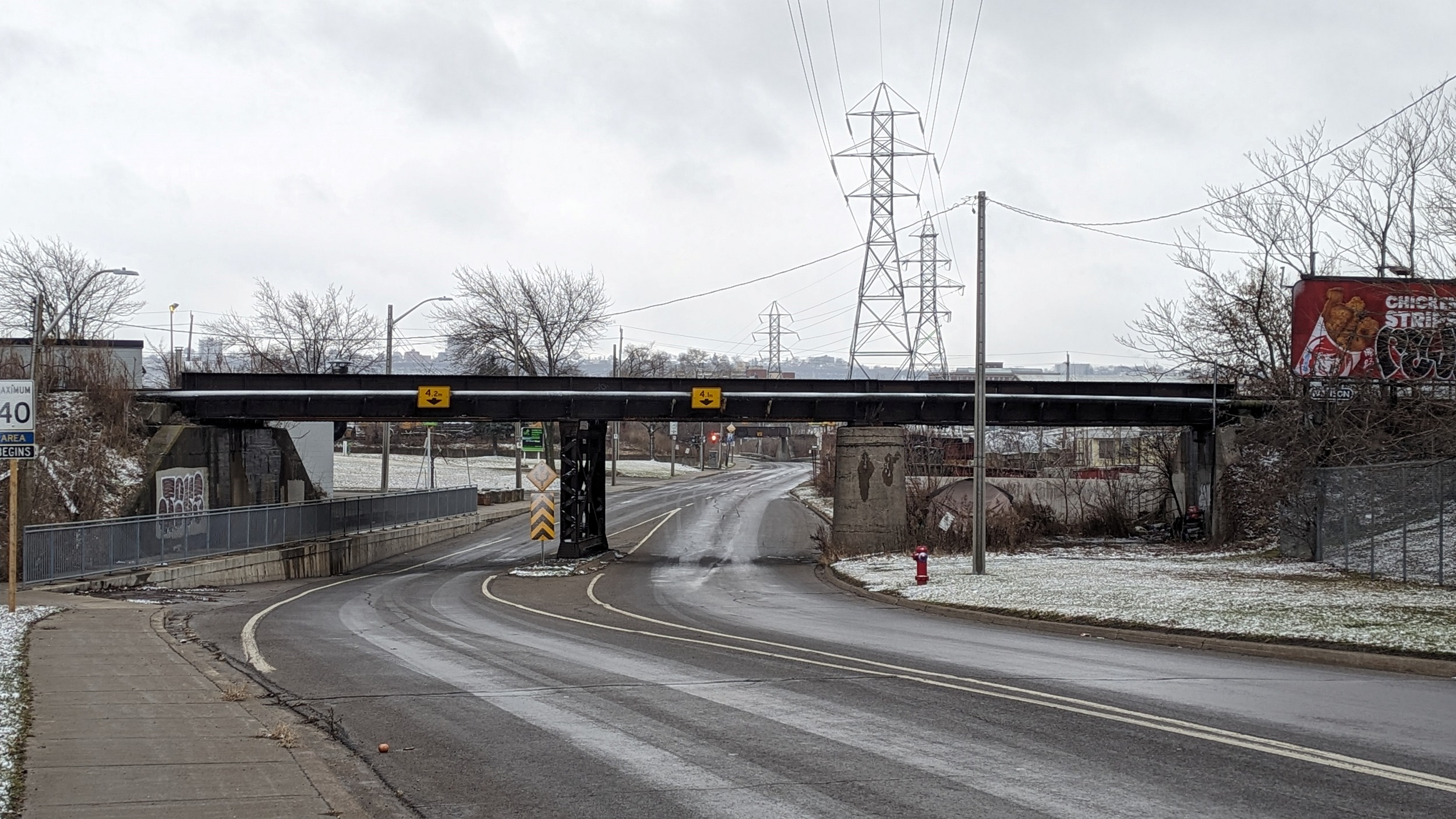
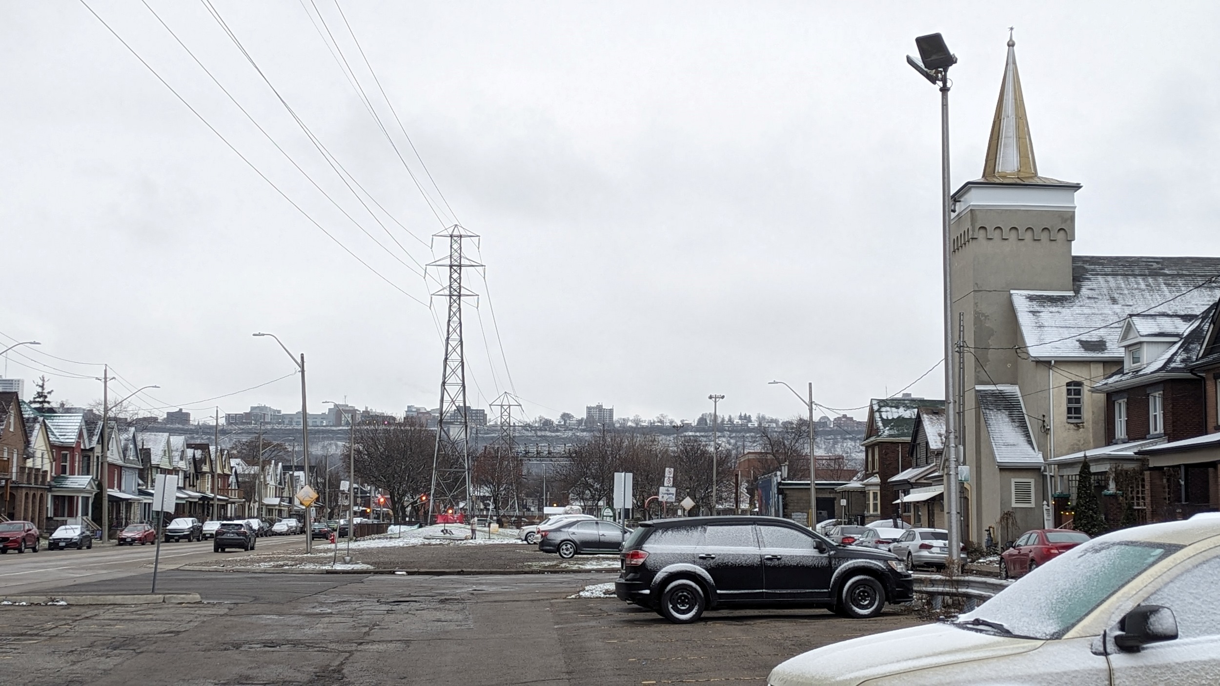
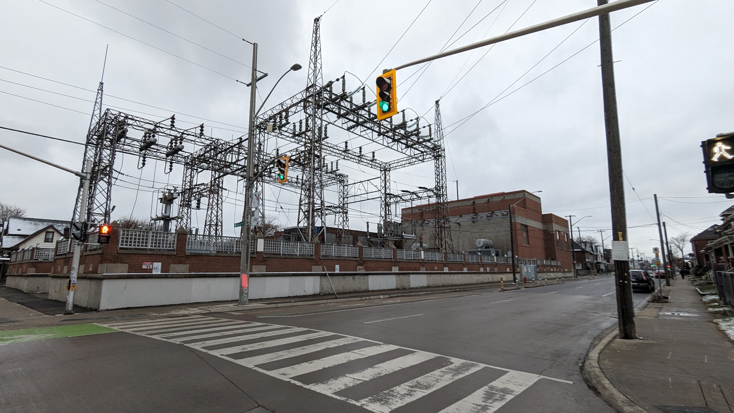
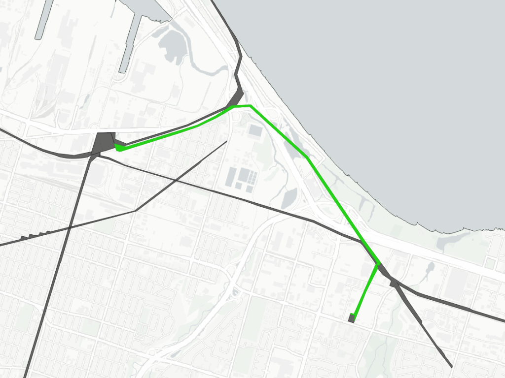
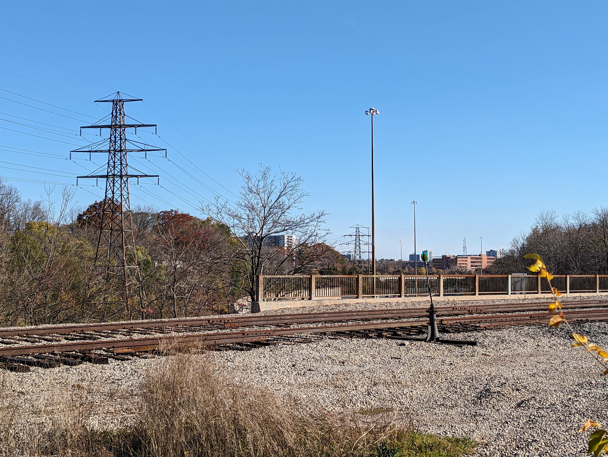
Gibson – Industrial
Length: 5.0 km
Area: 10.9 ha
Average Width: 22 m
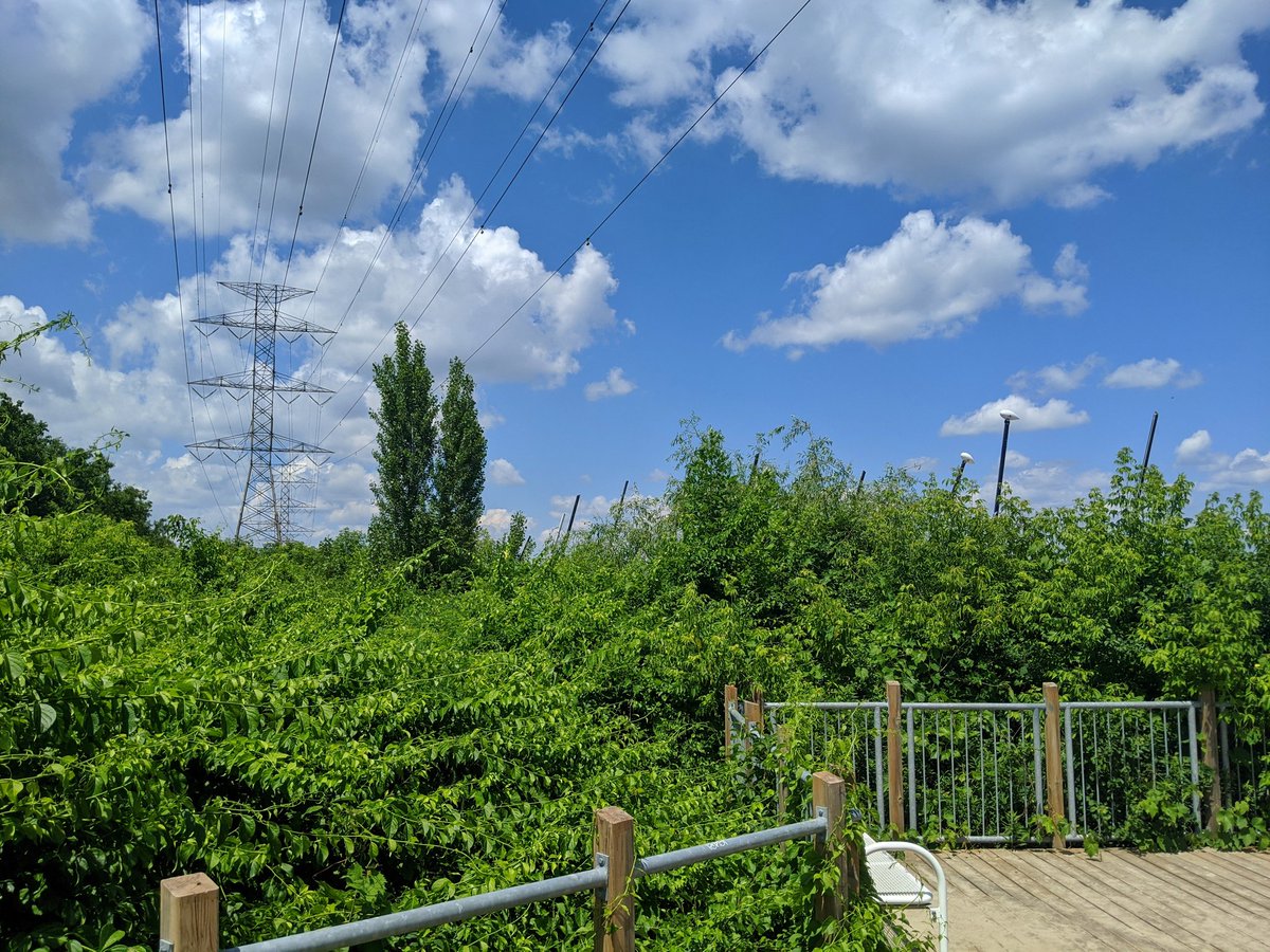
Most of the towers on this corridor stand wedged between and beside industrial rail spurs between Strathearne and Birmingham. After a brief jump to Burlington Street, it runs down Birch Avenue to Cannon Street. This latter stretch is the accessible one, either existing as parkland, or having potential as parking lots or grass.
Check out Red Hill / Industrial Hydro for more images and descriptions


Parkview – Lakeley
Length: 4.8 km
Area: 14.5 ha
Average Width: 30 m
Sharing the same origin as the Beach – Harbour corridor, this breaks south at the Woodward / Tesla Boulevard interchange. It crosses the QEW twice before ending at a transformer station on Barton Street. All of the crossings and a large wetland makes most of this unwalkable.

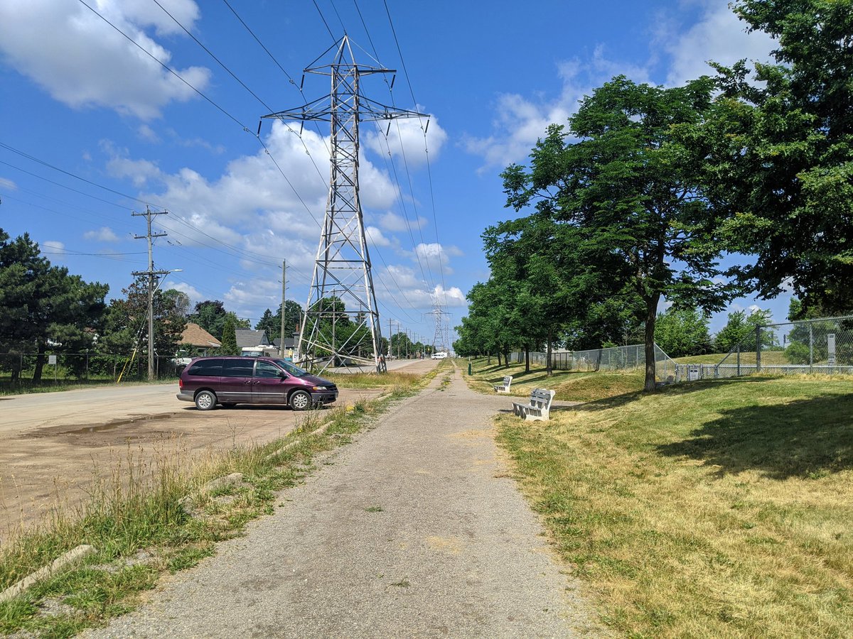
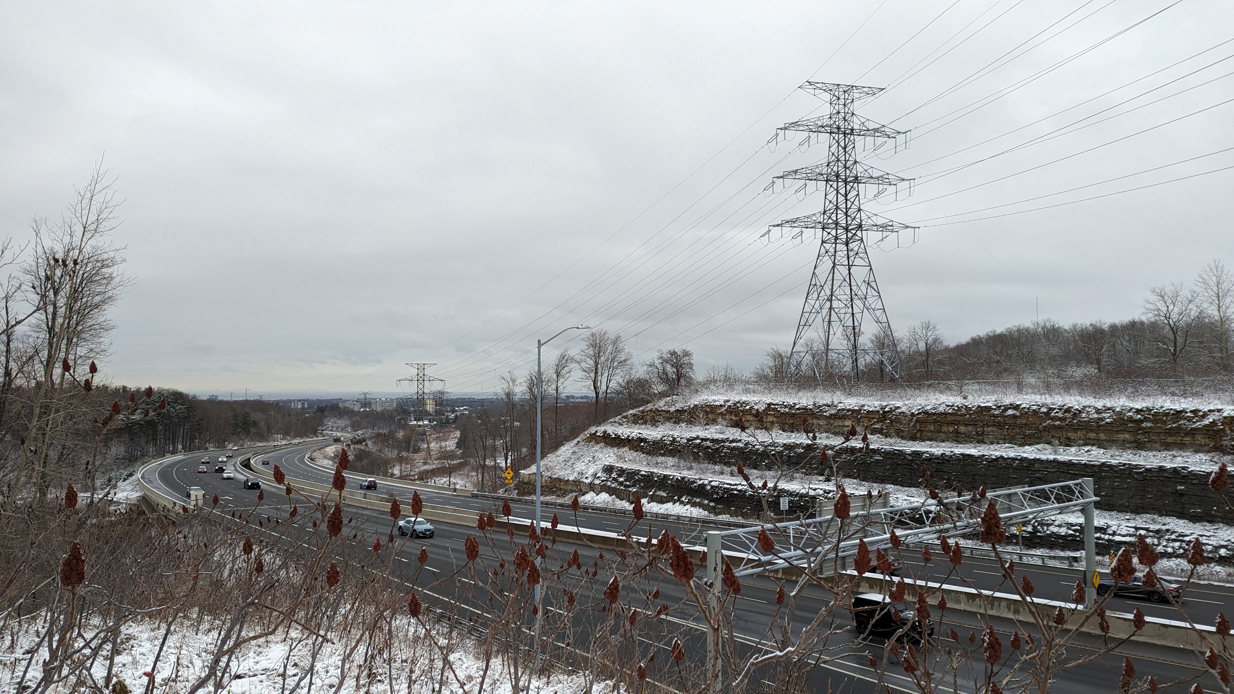
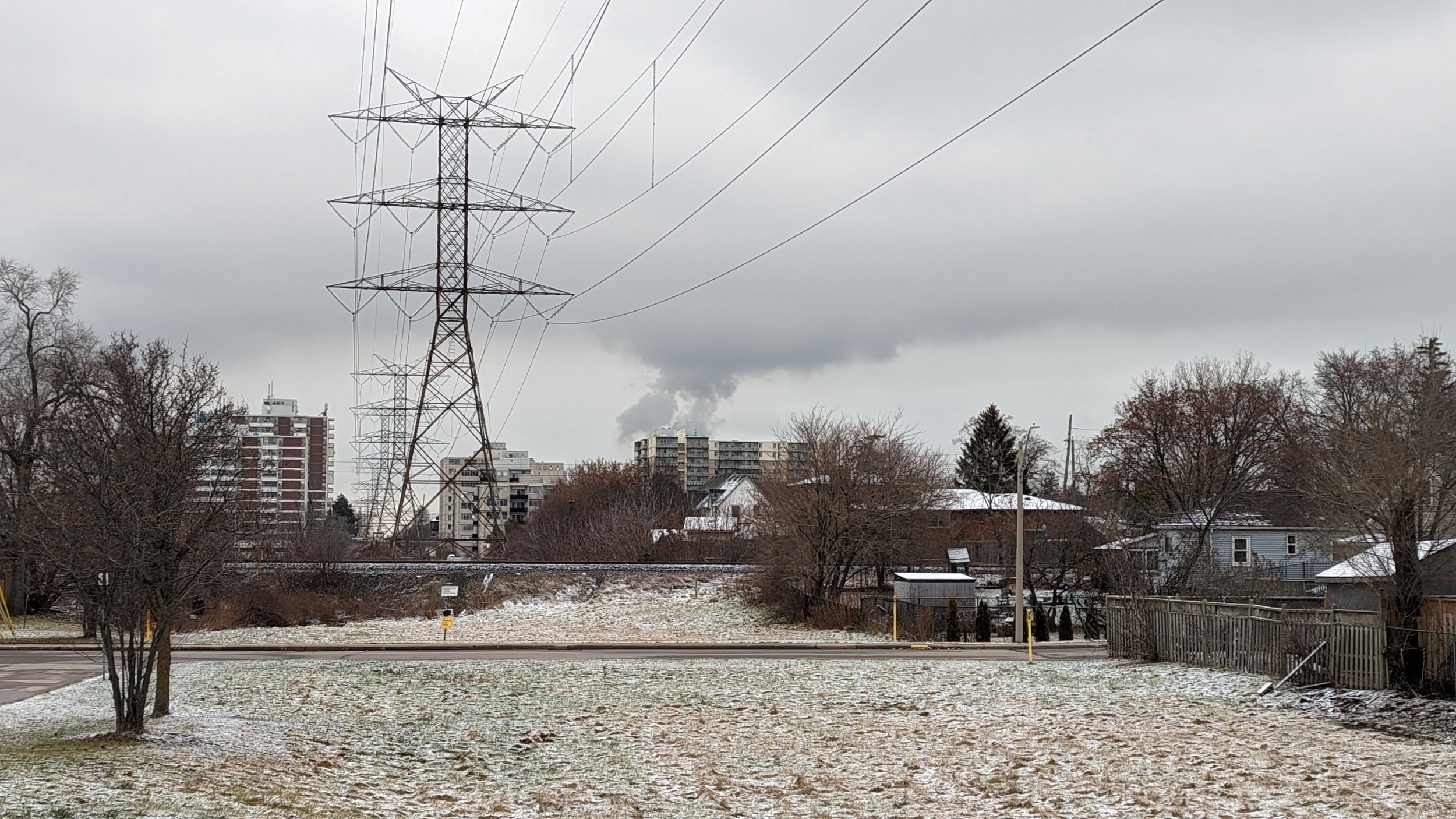
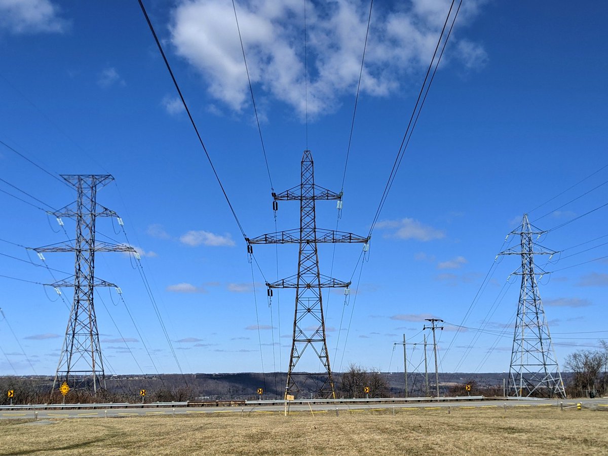
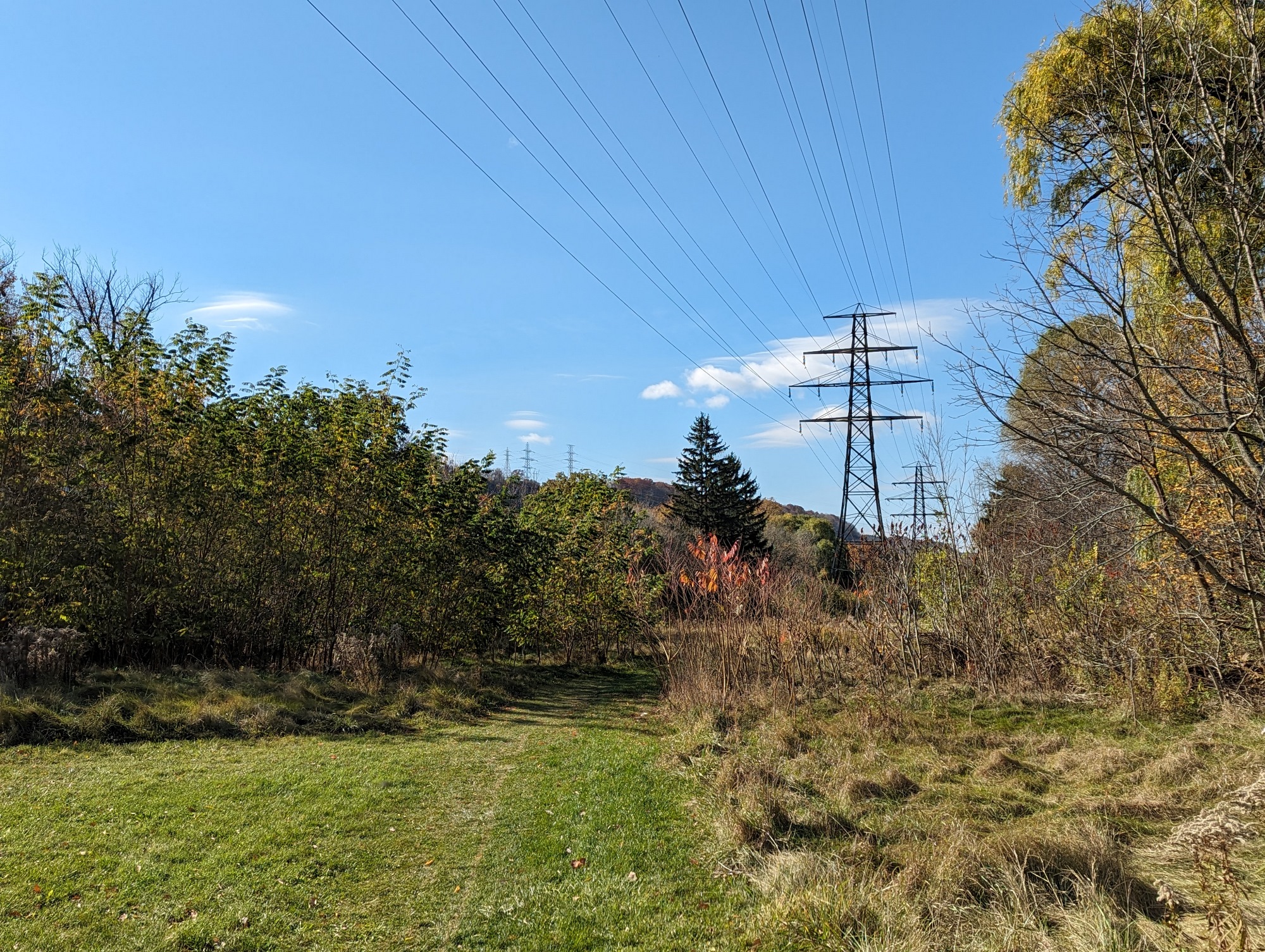
Red Hill – Strathearne
Length: 9.4 km
Area: 29.6 ha
Average Width: 32 m
As the name suggests, most of this corridor goes through Red Hill Valley and parallels Strathearne Avenue. As such, most of the corridor or the space around it already has trails, or is prime open space.
Check out Red Hill / Industrial Hydro for more images and descriptions

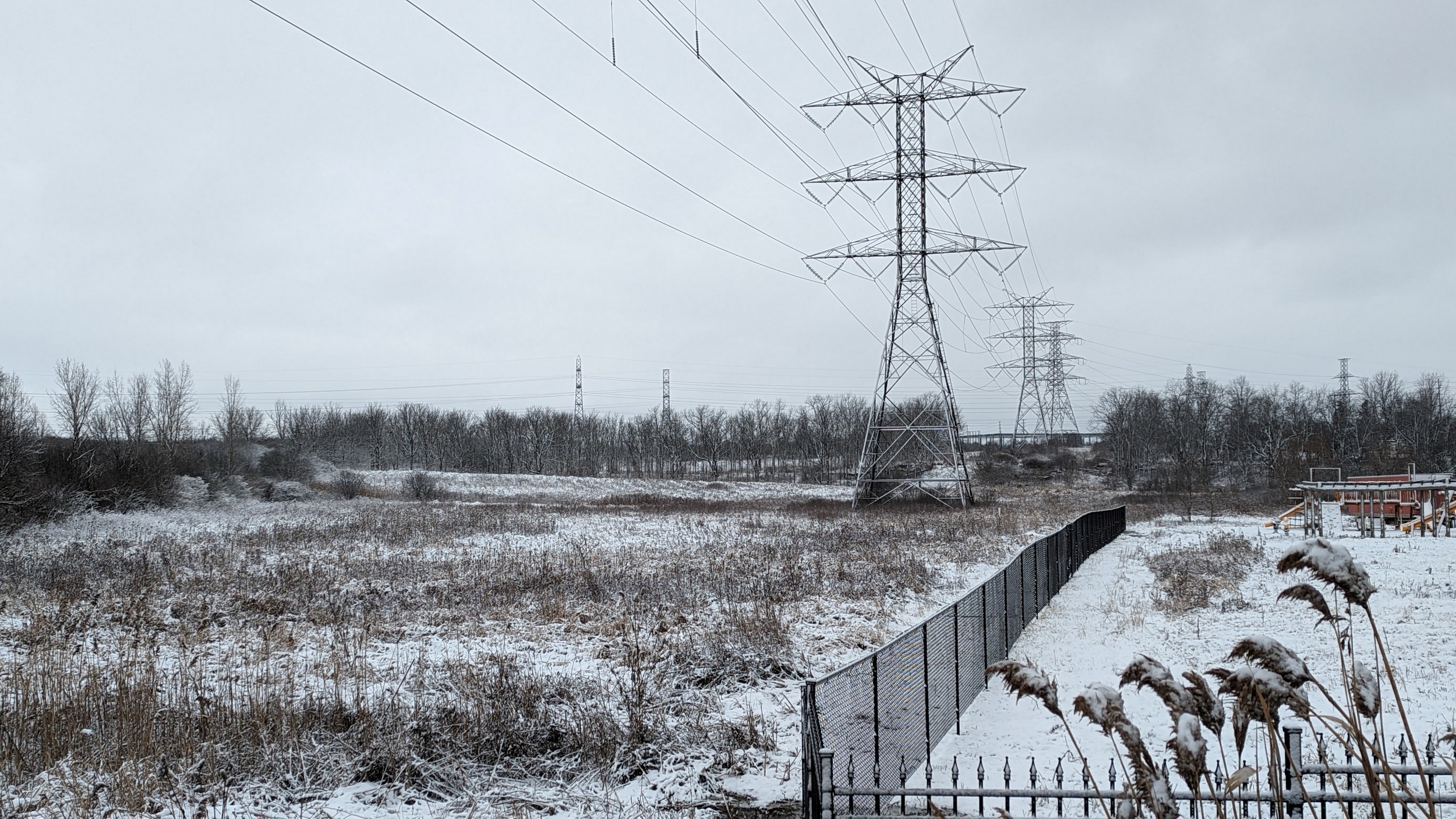
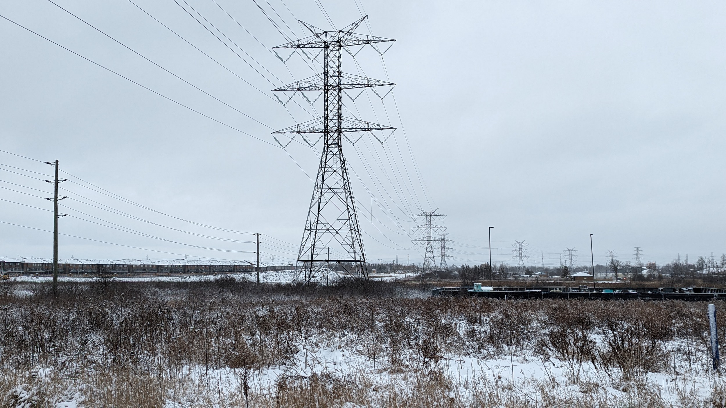

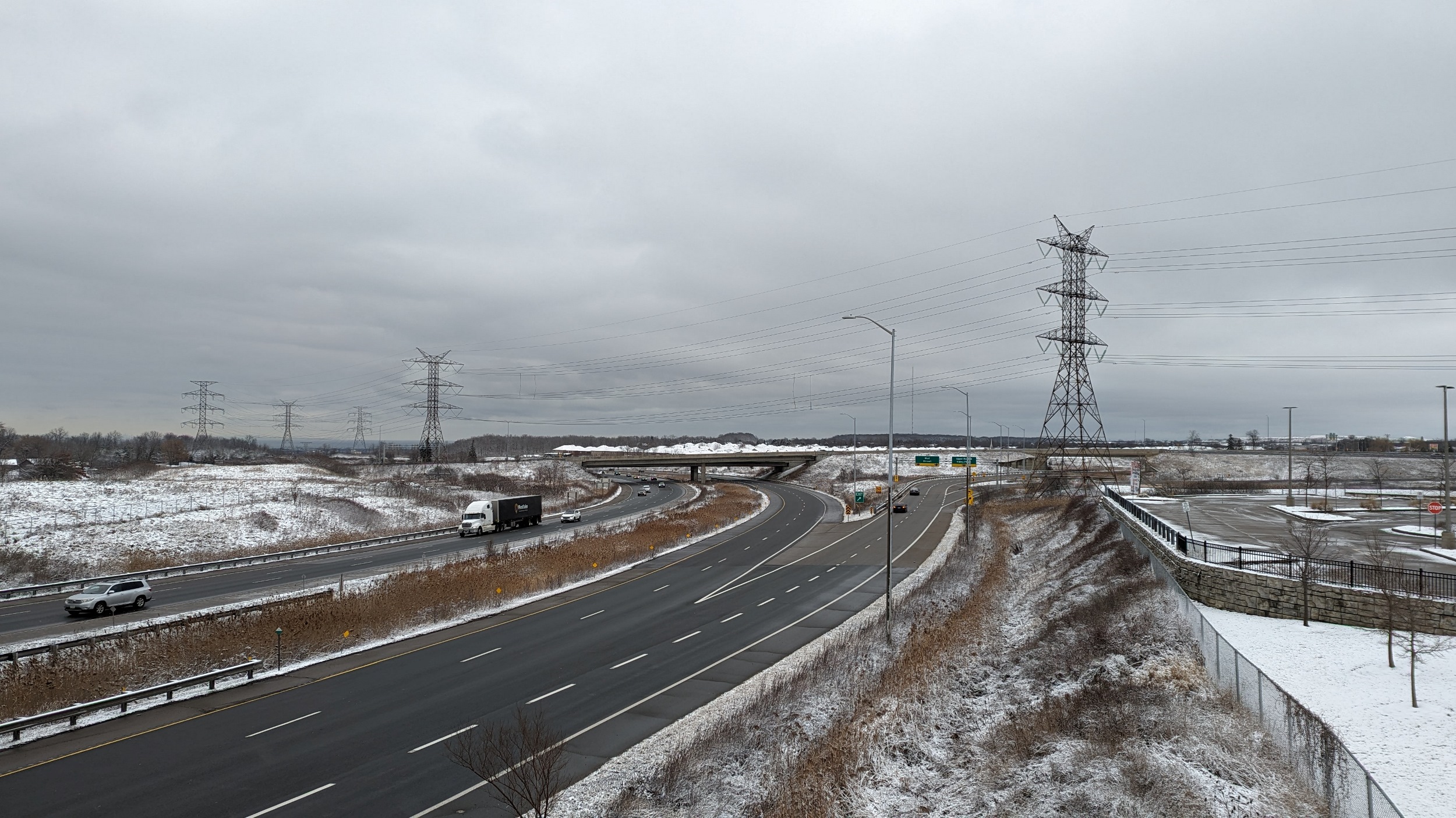


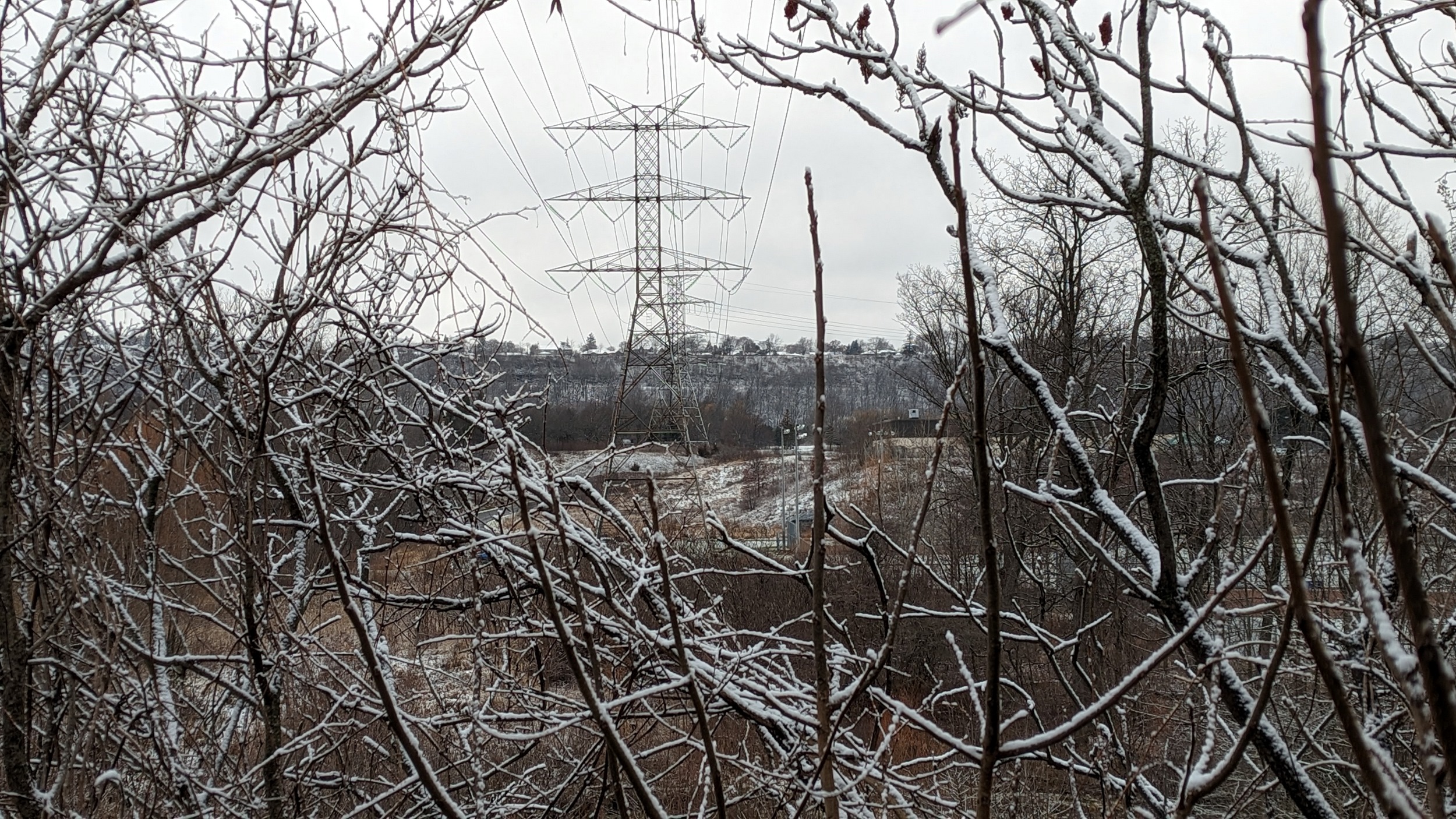
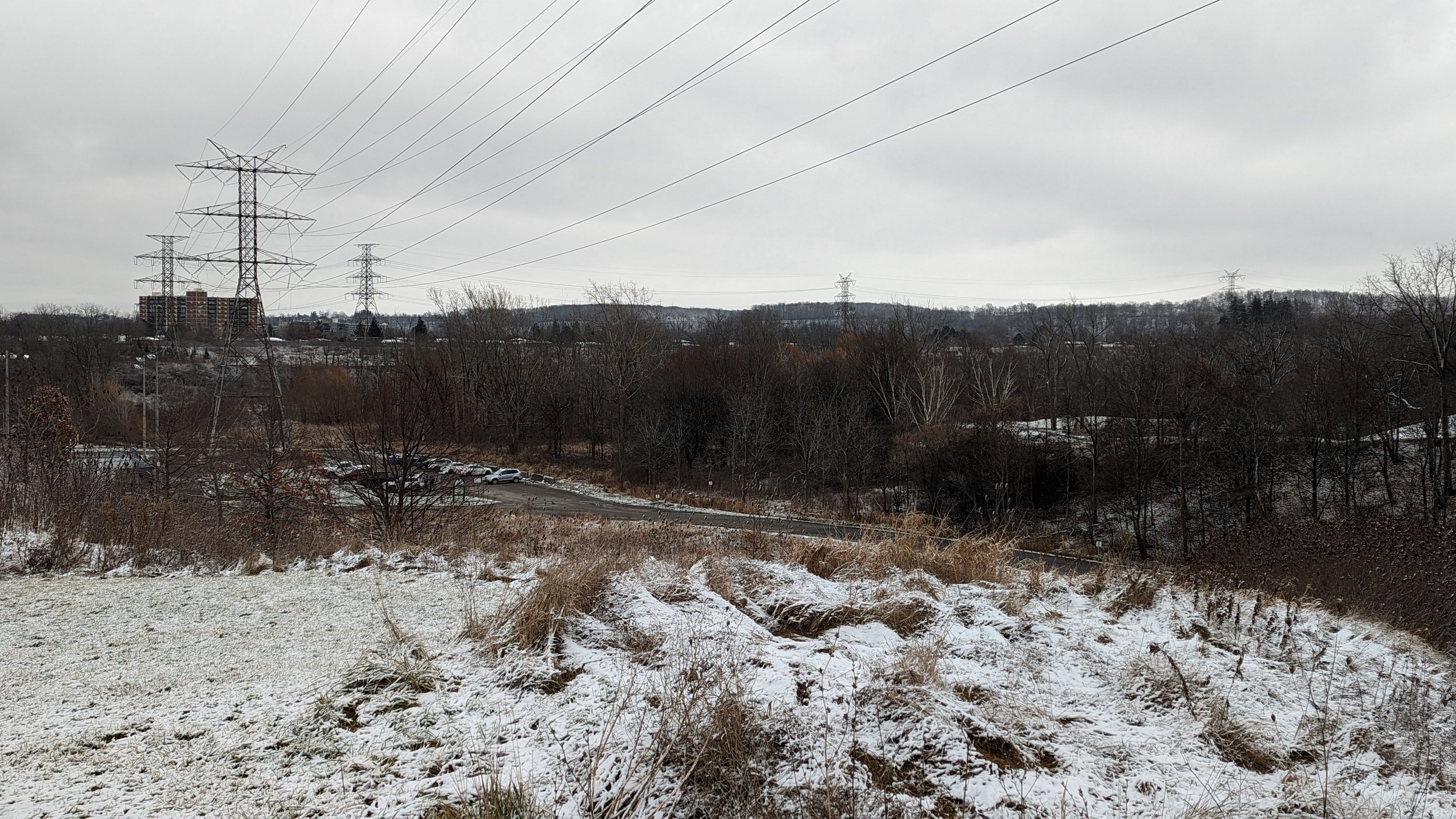


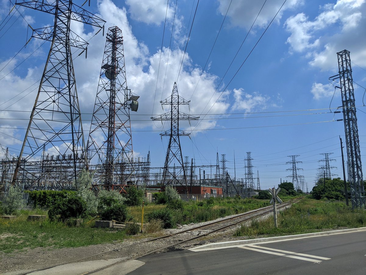
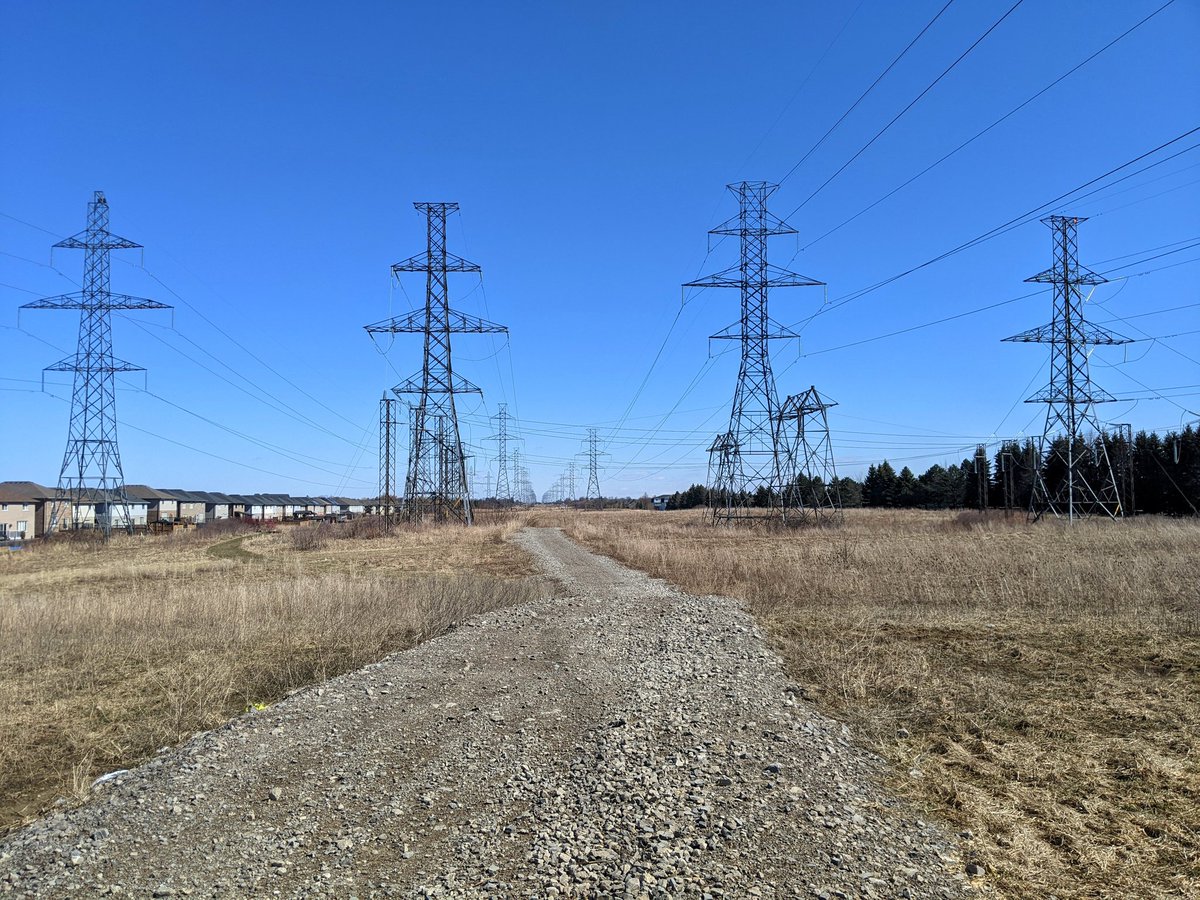
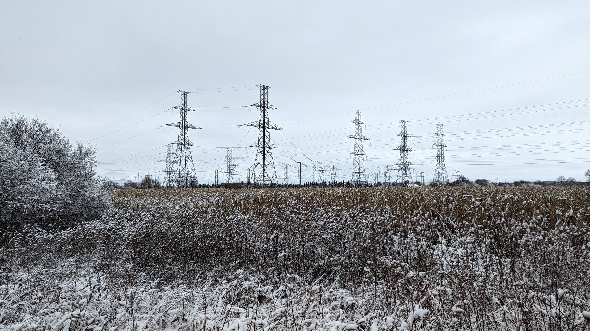
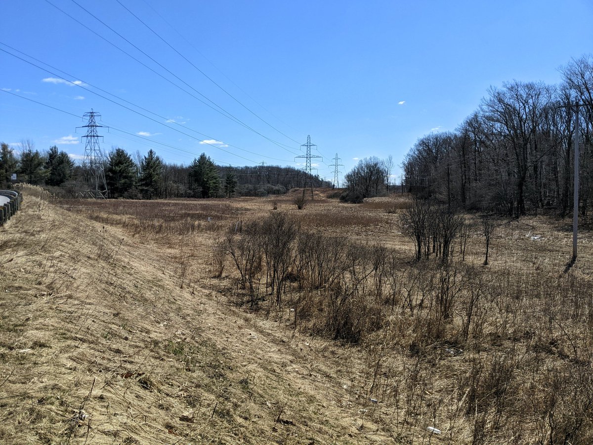
South Trunk
Length: 21.7 km
Area: 331.2 ha
Average Width: 152 m
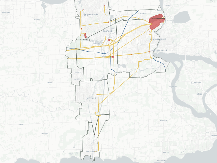
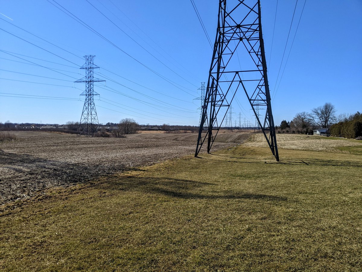
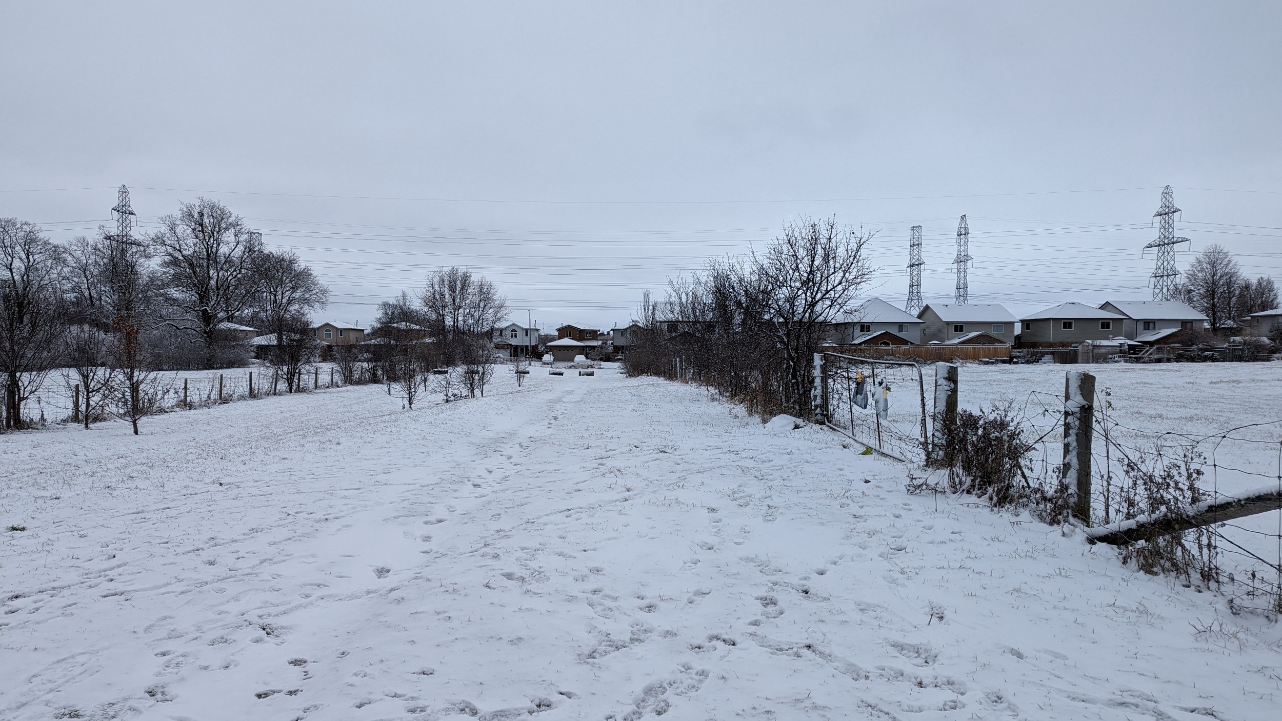
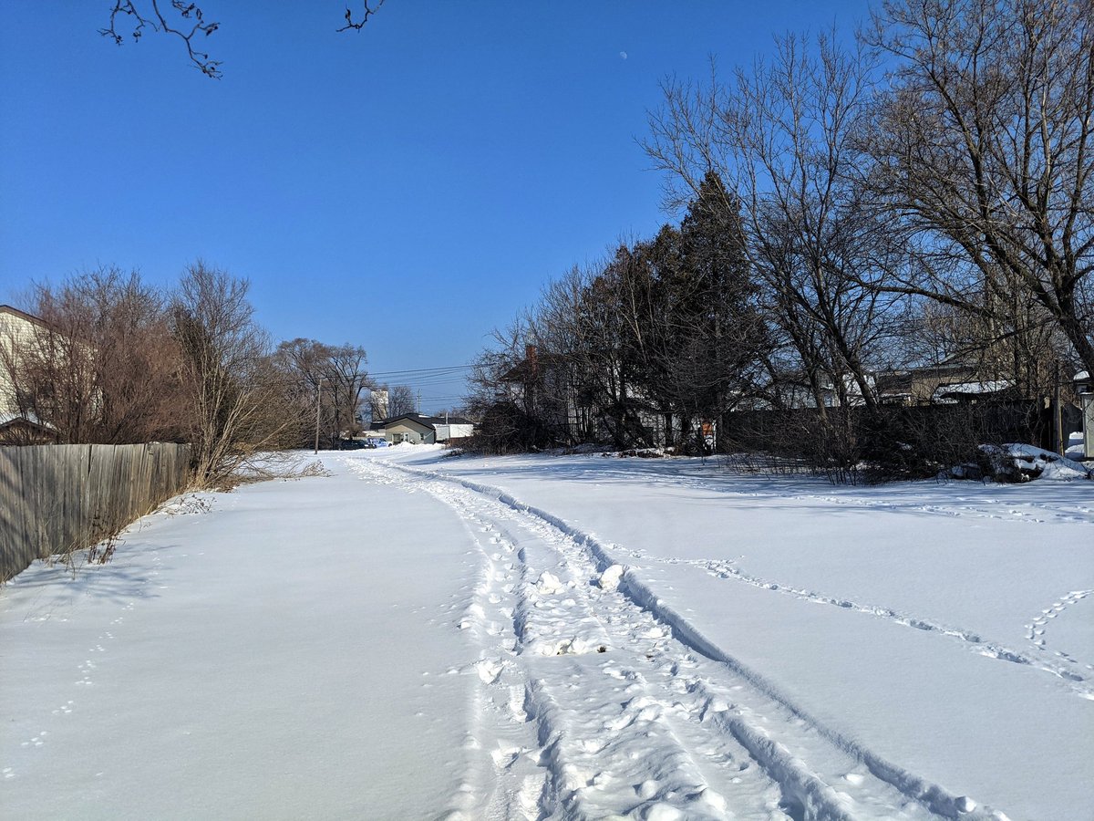
The south trunk is a major corridor, one of the widest and the largest and longest corridor in the city. It is a major link between Niagara Falls and a significant transformer station south of Hamilton (Middleport TS), spanning the south end. Some spots have a gravel Hydro One access path, but most others are wetland or crops.
Check out Dundas Mountain / South Trunk Hydro and
Red Hill / Industrial Hydro for more images and descriptions


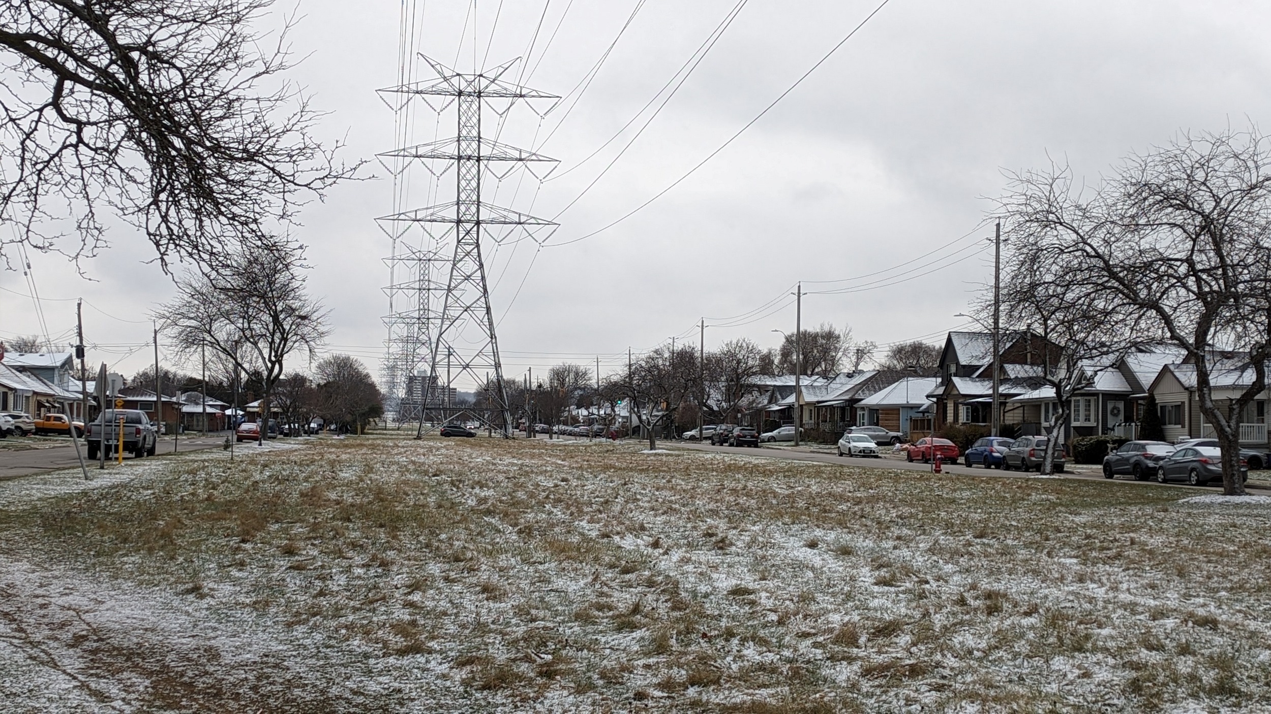
Mohawk
Length: 4.7 km
Area: 21.6 ha
Average Width: 46 m
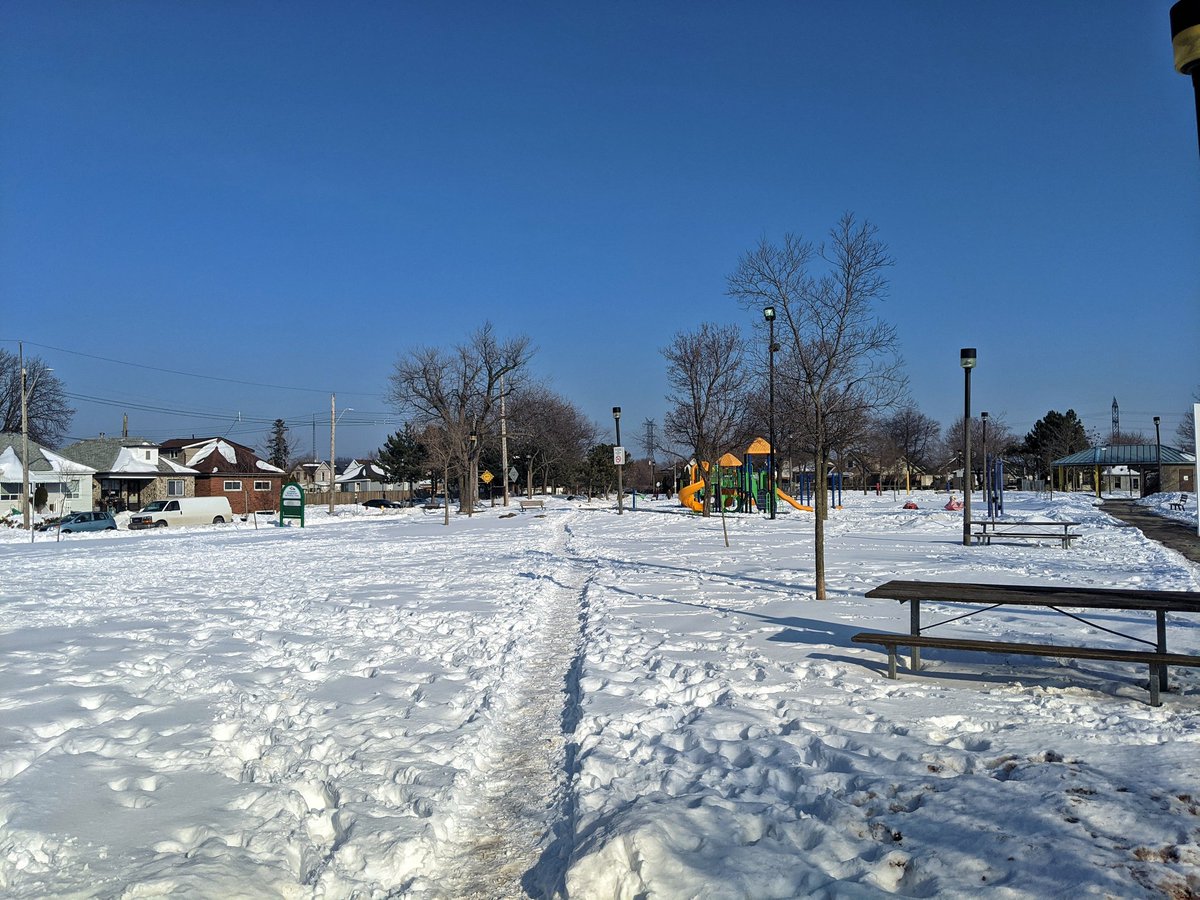
Going north from them South Trunk, this corridor bisects the tract between Upper Sherman and Upper Wentworth before ending at the northeast corner of Lime Ridge Mall. Most of the corridor is grass or formal parkland. With some TLC, and crossings over major arterials and the LINC, this corridor has great potential.
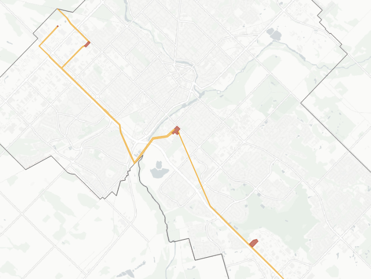
Twenty Plus
Length: 10.6 km
Area: 33.8 ha
Average Width: 32 m
This skinny corridor branches off from the Dundas Mountain corridor near Glancaster / Rymal Road before heading east towards Niagara. It skirts the edge of Hamilton’s urban boundary, and from what I can tell, is only active to about Miles Road. It is mostly wetlands and crop fields. Some of the towers are of an old vintage I haven’t seen elsewhere before.

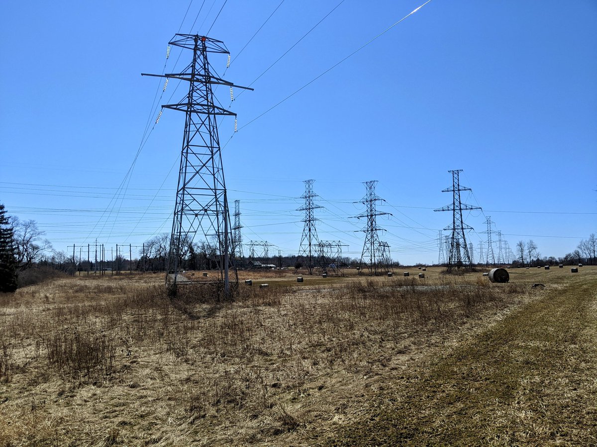

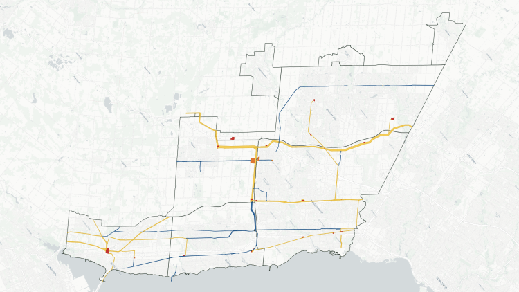
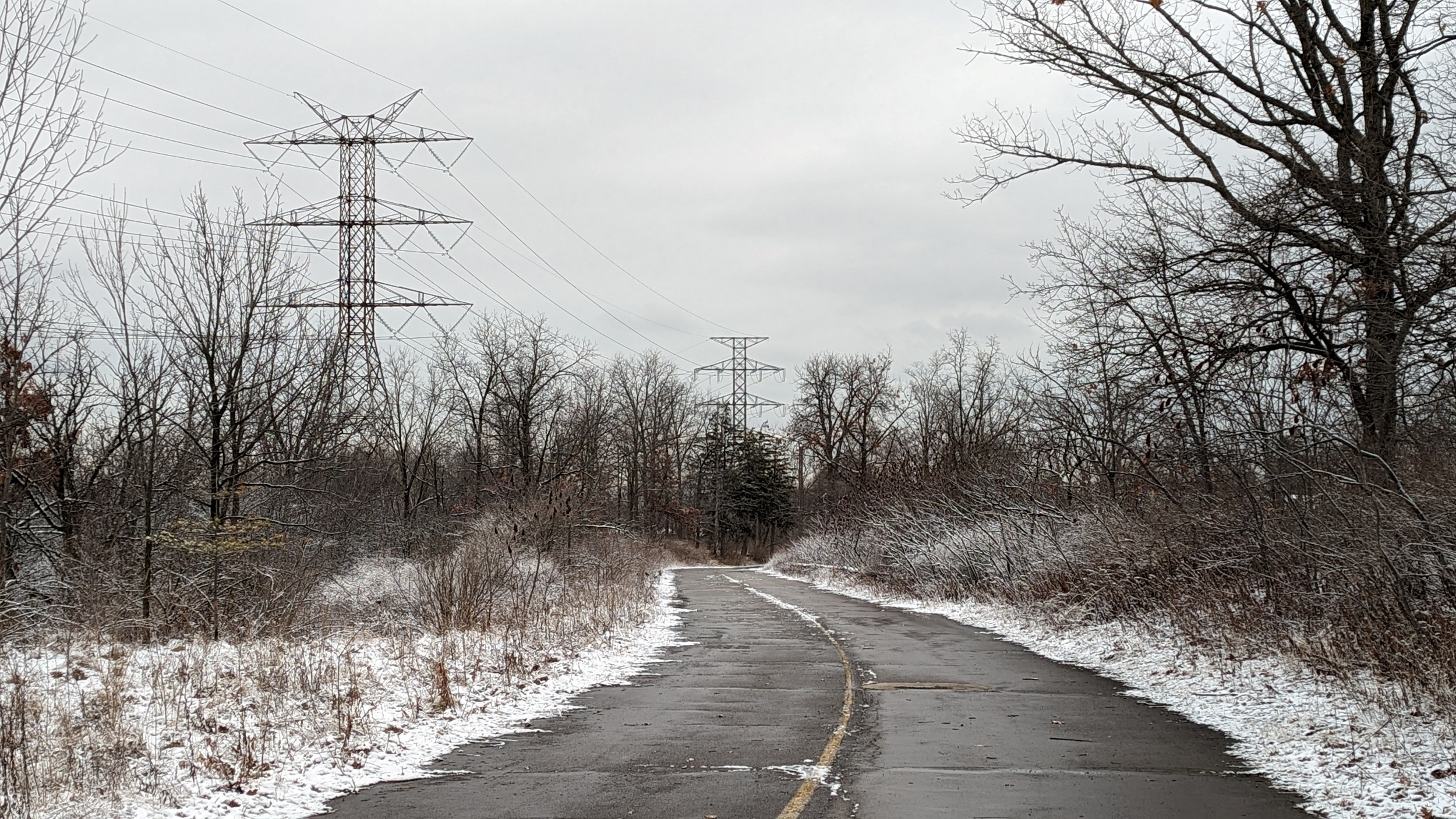
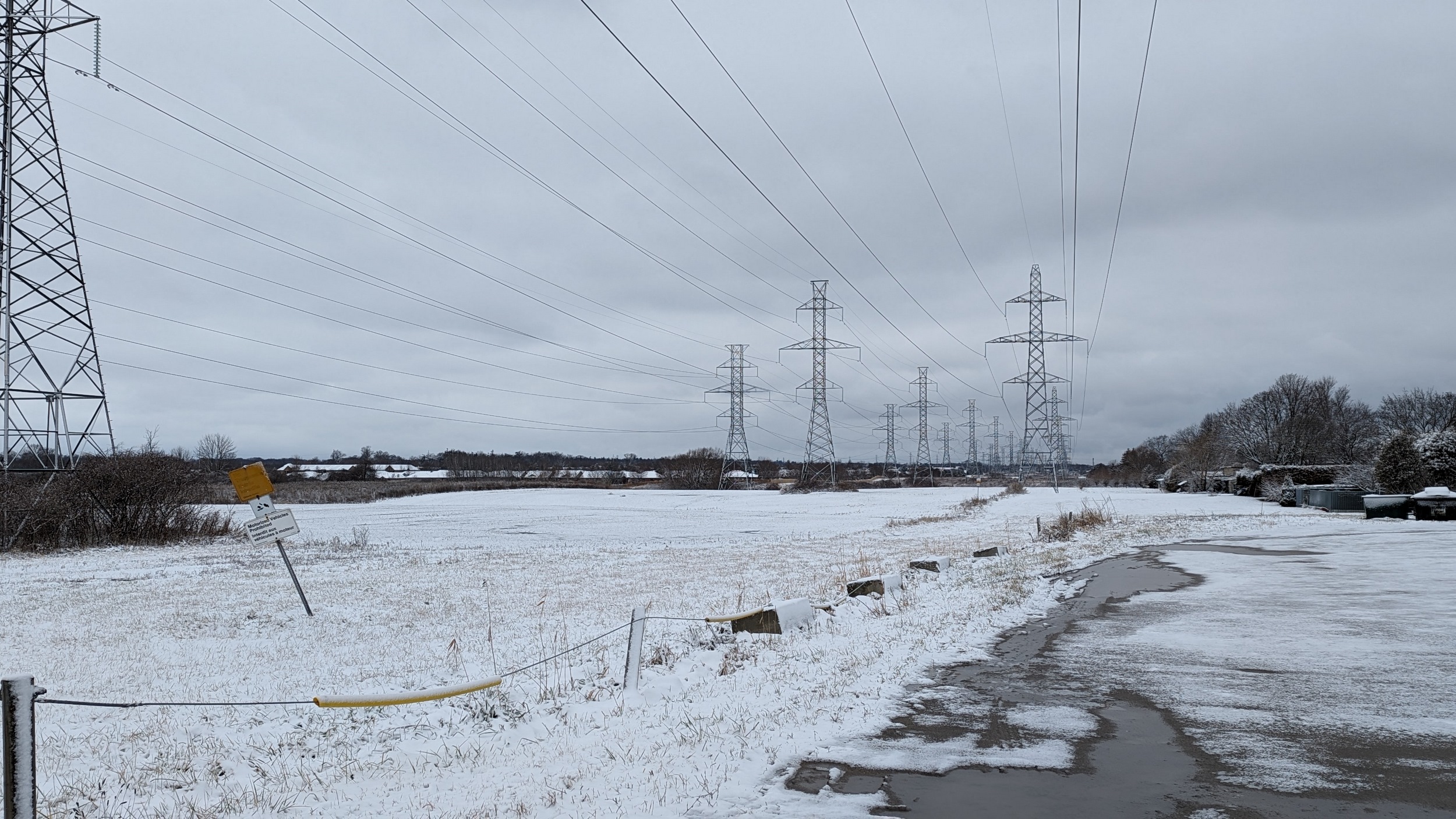
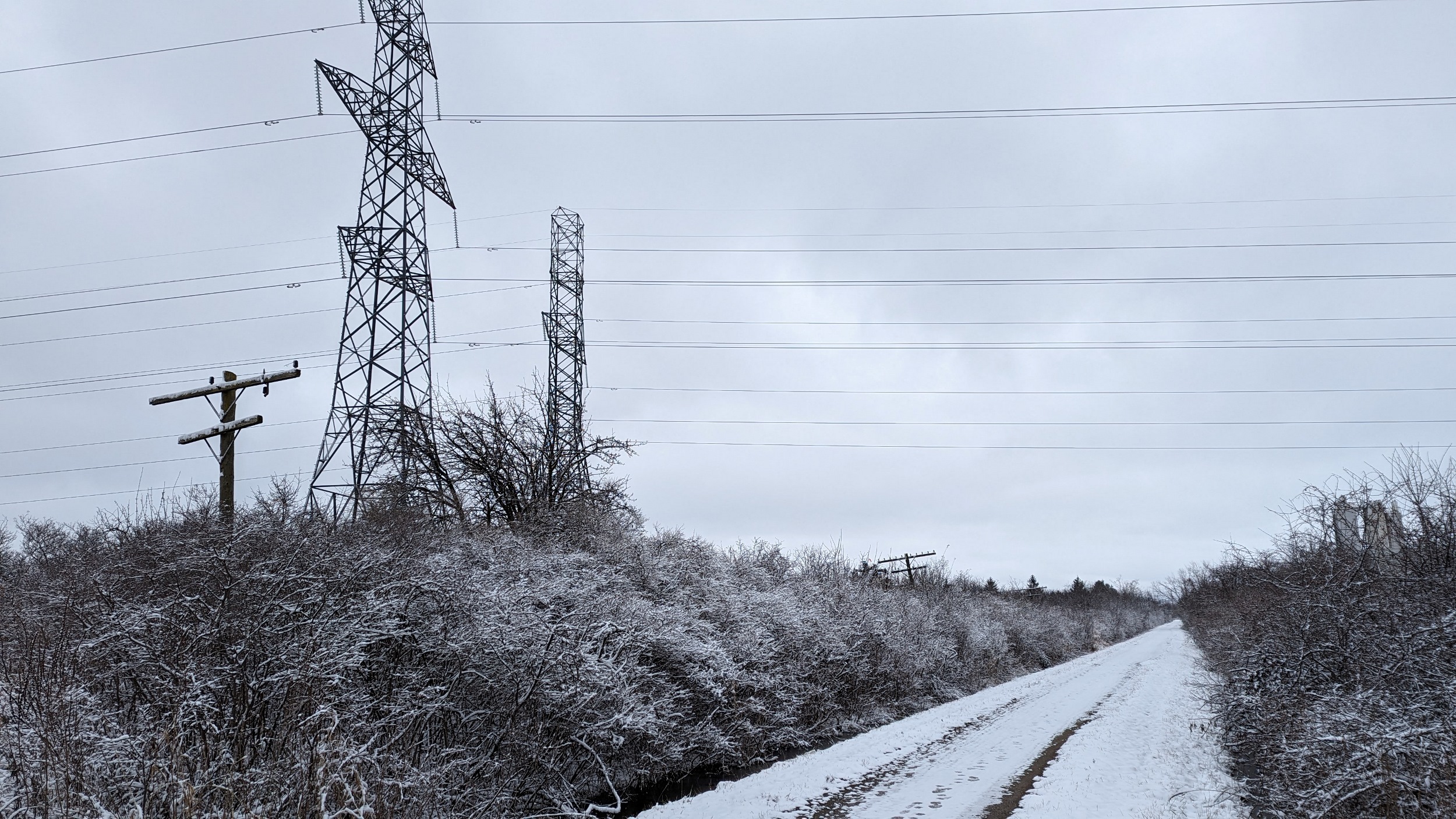
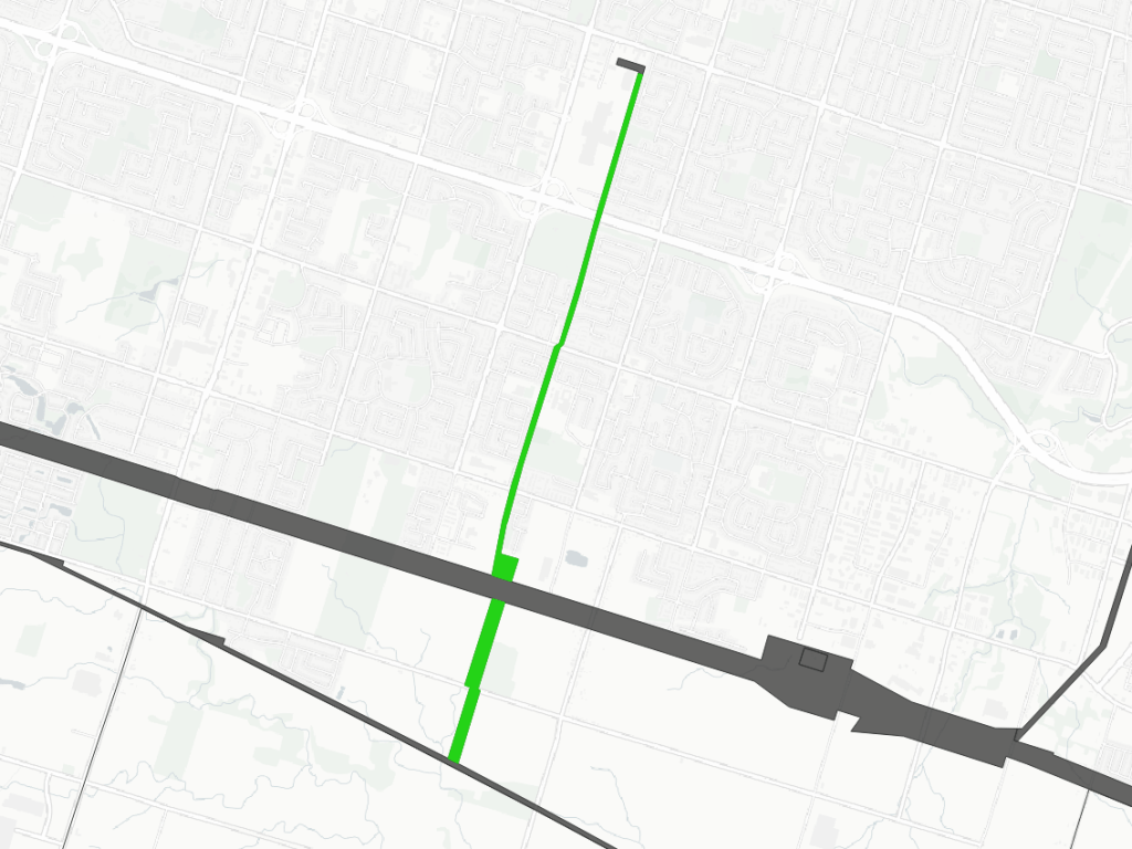
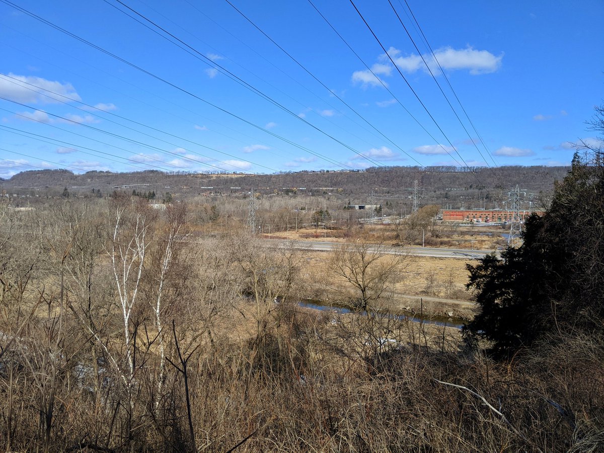
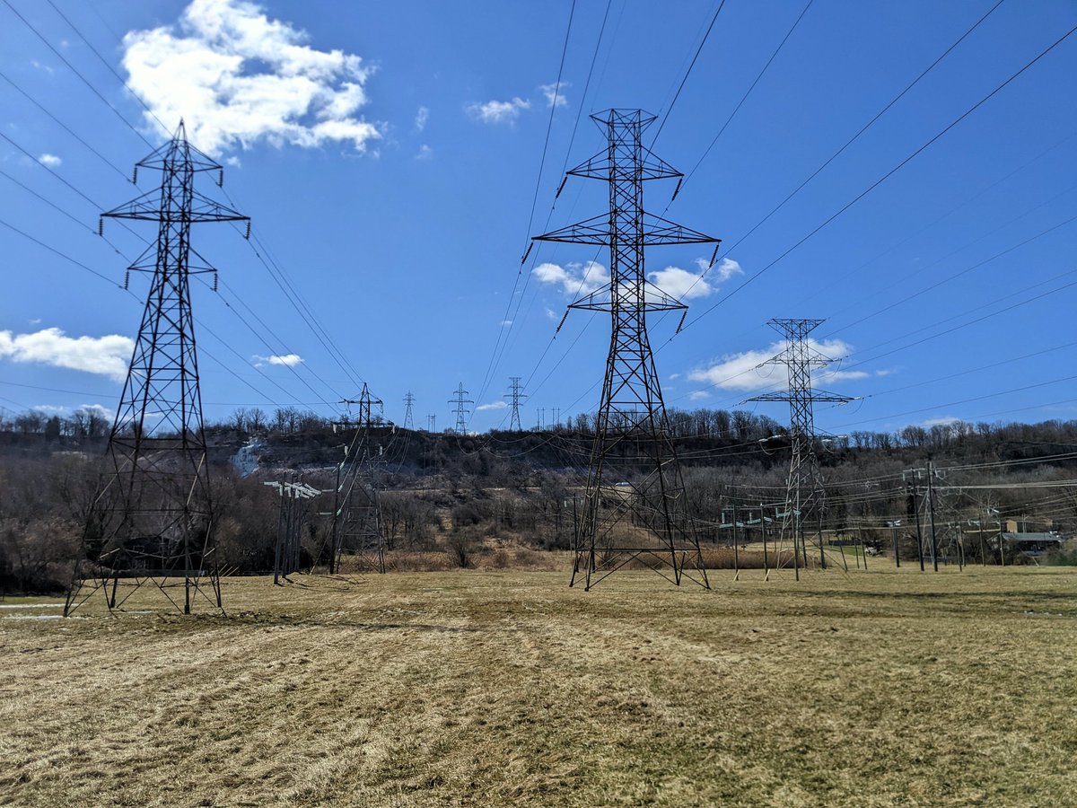
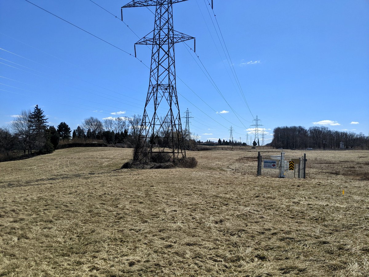
Dundas Mountain
Length: 7.3 km
Area: 112.6 ha
Average Width: 155 m
This corridor starts at the transformer station beside Cootes Paradise, before climbing up the mountain to the headwaters of Twenty Mile Creek. While some of the southern corridor is wetlands, there is great potential here for links over highways and up the Escarpment.
Check out Dundas Mountain / South Trunk Hydro for more images and descriptions


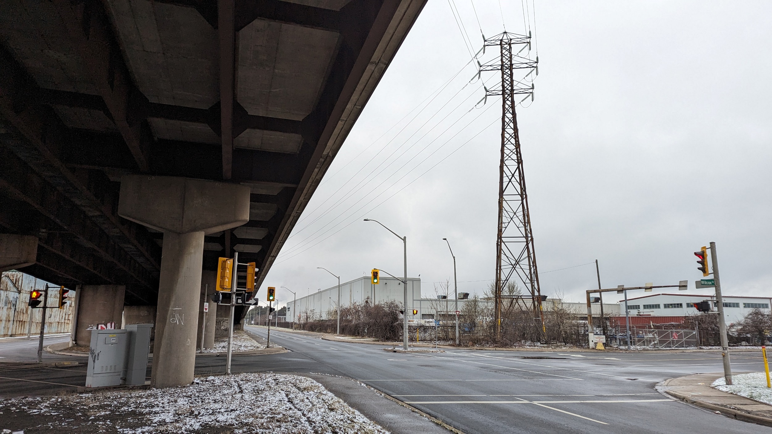
Airlink
Length: 7.0 km
Area: 33.9 ha
Average Width: 49 m
This is a smaller link between Hamilton and Middleport TS. It splits off from the Dundas Mountain corridor near the Mohawk Road / LINC interchange. There’s some access where it cuts through residential subdivisions north of Garner Road. The rest of it flies over agricultural fields.

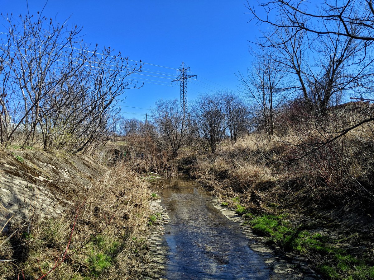
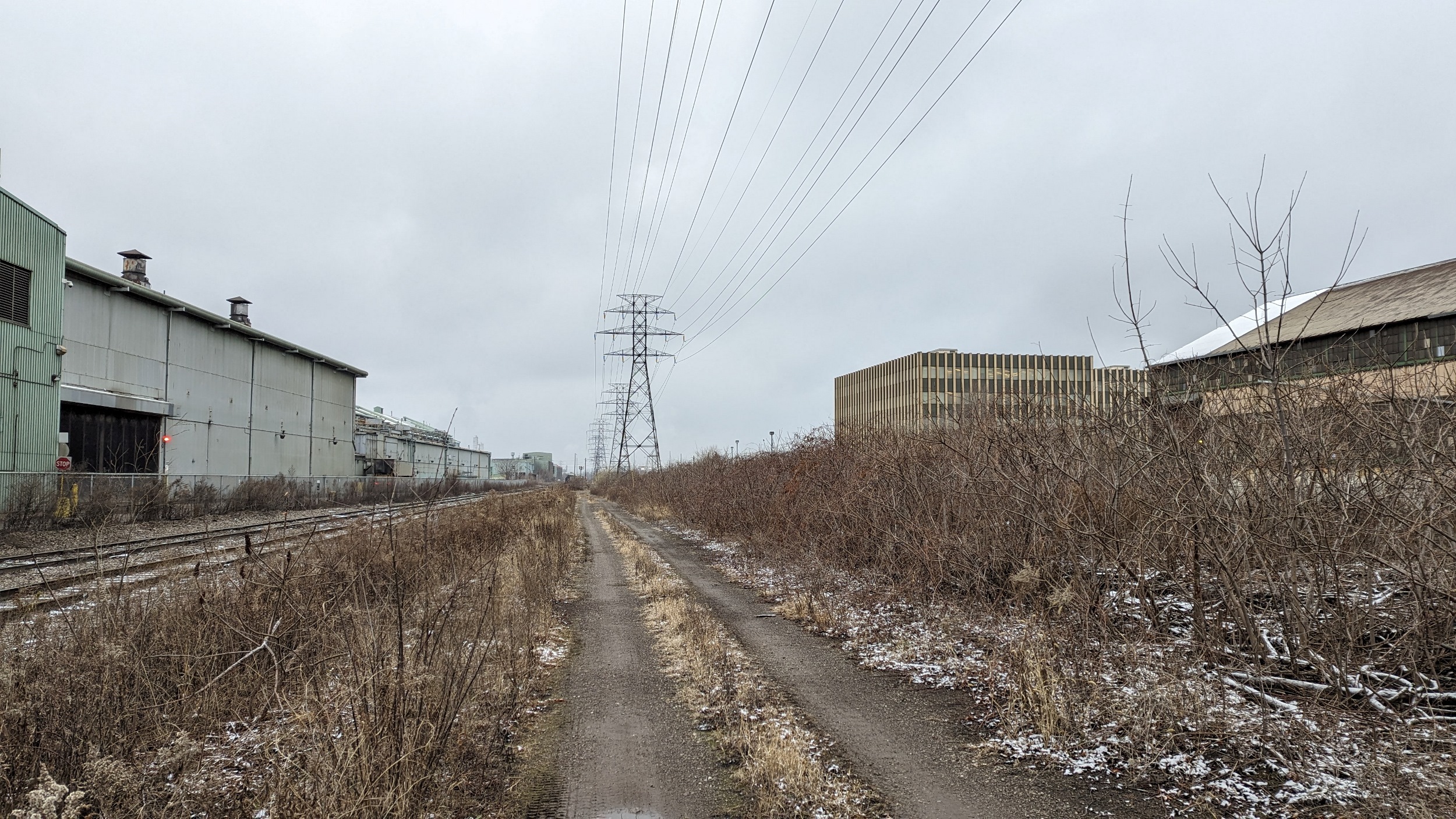
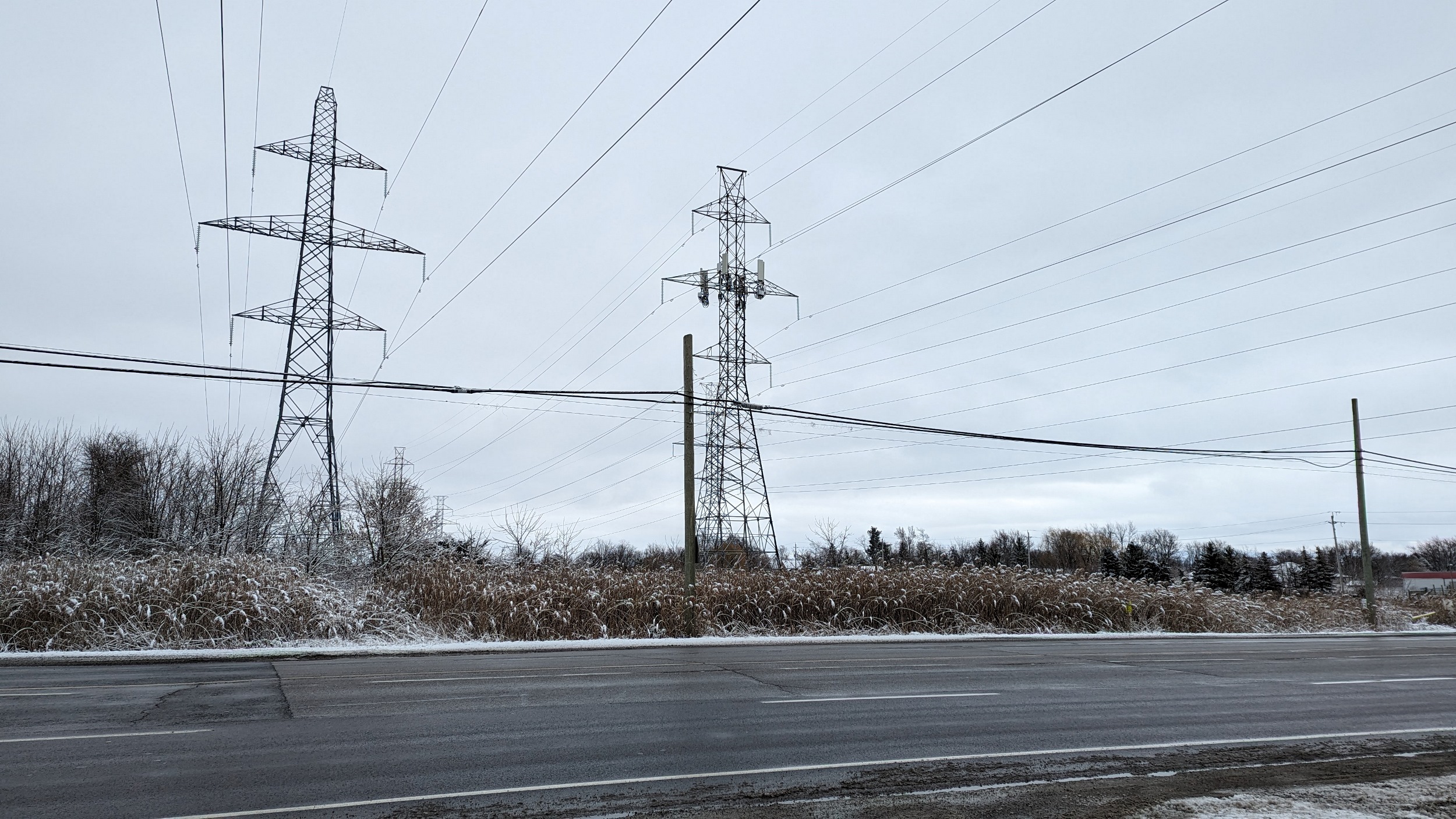
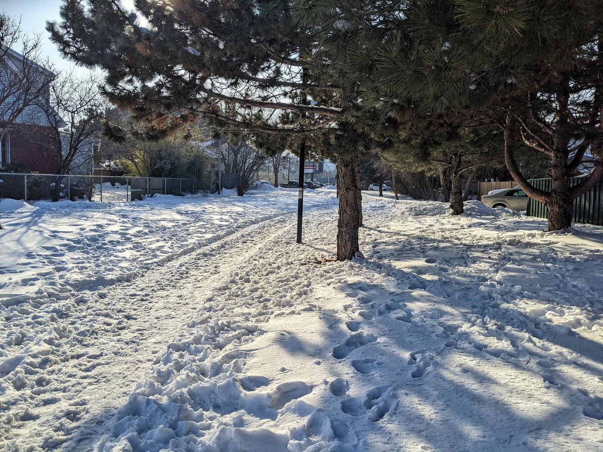
Chedoke
Length: 12.2 km
Area: 25.2 ha
Average Width: 21 m
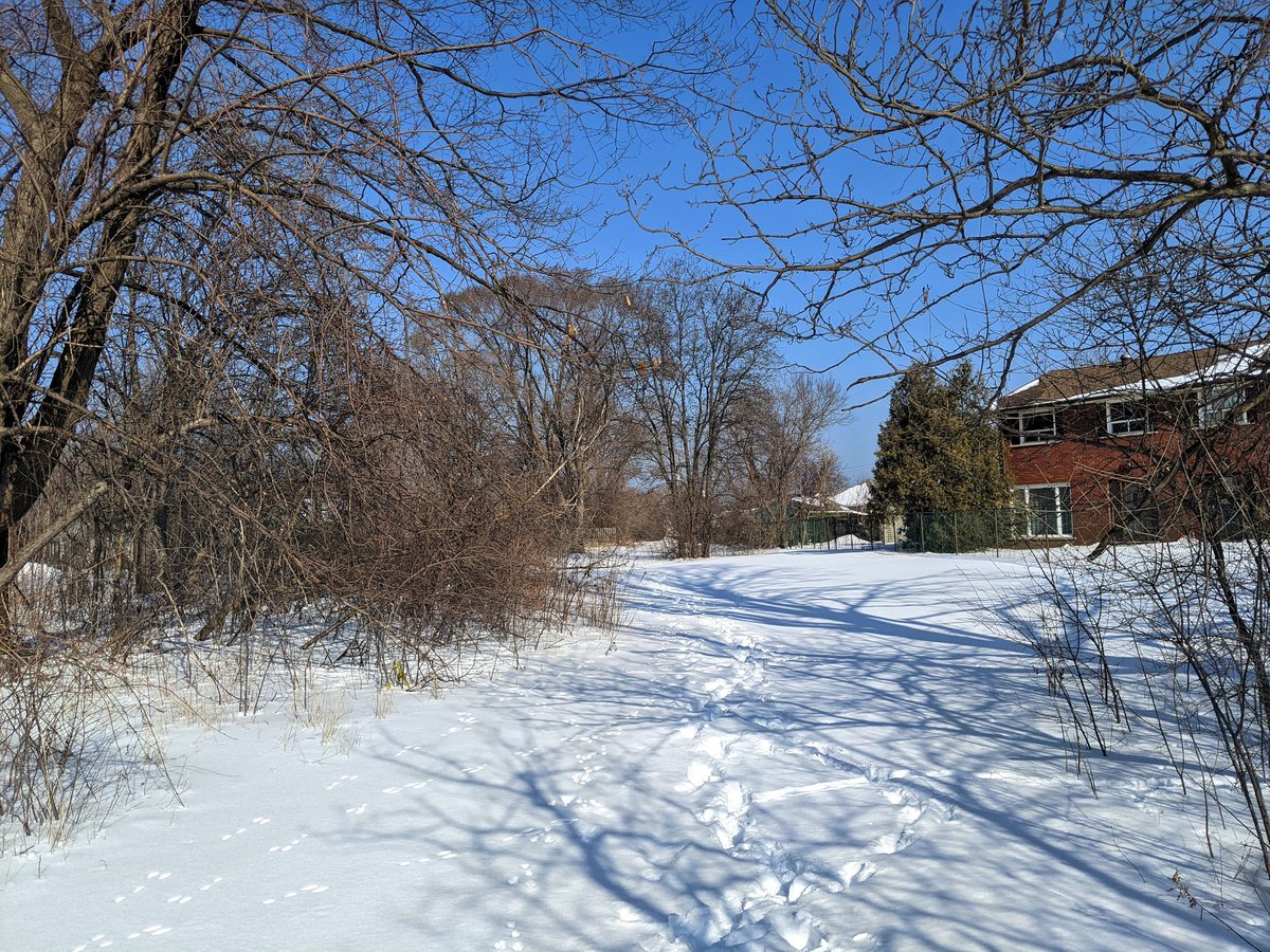
This is a minor link between Brantford / Paris and the rest of Hamilton’s distribution network. It cuts through Dundas Valley, and Ainslie Wood before ending at a transformer station north of the 403 / Aberdeen / Main interchange. East of Filman Road, much of the corridor is open. To the west, it is partially covered by private property, or crisscrossed by trails in Dundas Valley.
This is a selection of images from two unrelated walks:
Dundas Mountain / South Trunk Hydro and Chedoke Creek


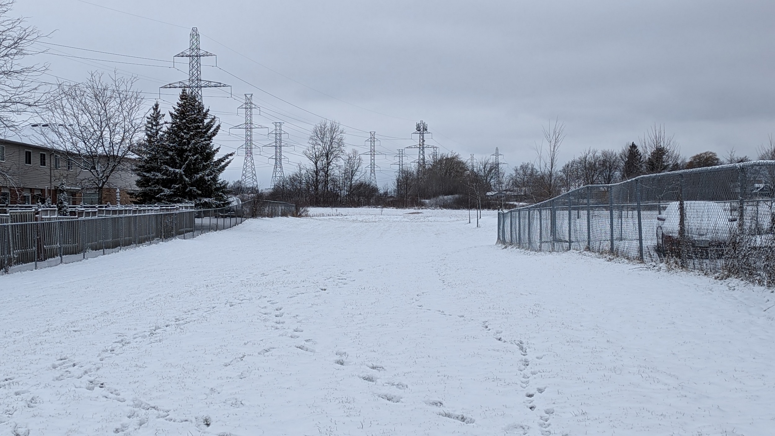
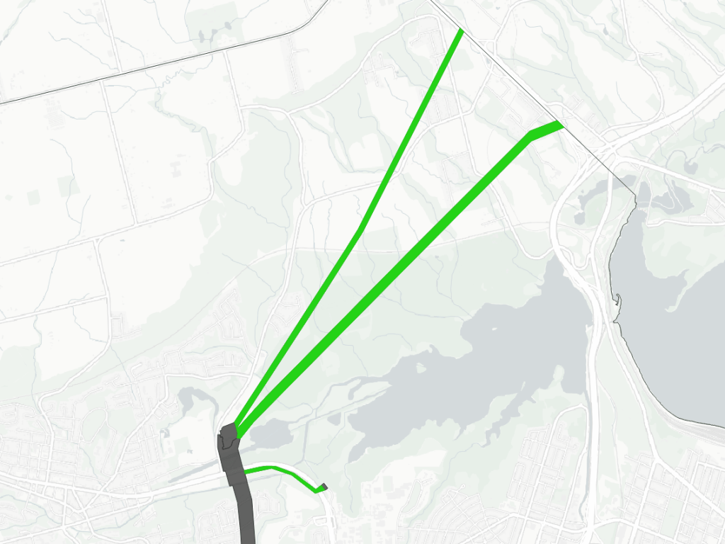
Cootes / McMaster
Length: 8.6 km / 0.8 km
Area: 57.8 ha / 2.6 ha
Average Width: 67 m / 31 m
There are three corridors lumped together in this section, all originating at the Dundas Transformer Station. One is a dedicated line serving McMaster University, and is accessible for it’s short length adjacent to Cootes Drive. The other two branch towards Burlington.


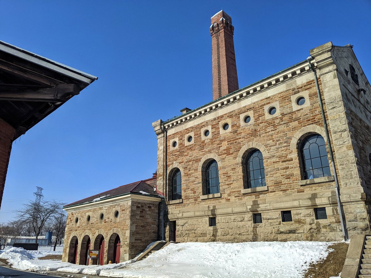
Pipeline Trail
Length: 4.1 km
Area: 7.3 ha
Average Width: 18 m
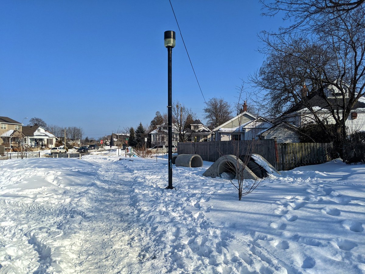
This is a quirky corridor as it was established for a water pipeline in the mid 19th century after a second massive cholera outbreak in the city. Despite only being for water, it was protected with a 20 metre right-of-way that lives on today. The pumps for this pipeline live on at what’s now the Hamilton Museum of Steam and Technology. The corridor is intermittent between there and Barton Street, but is a very nice trail from there south to Main Street.
Check out Hamilton Industrial for more images and descriptions


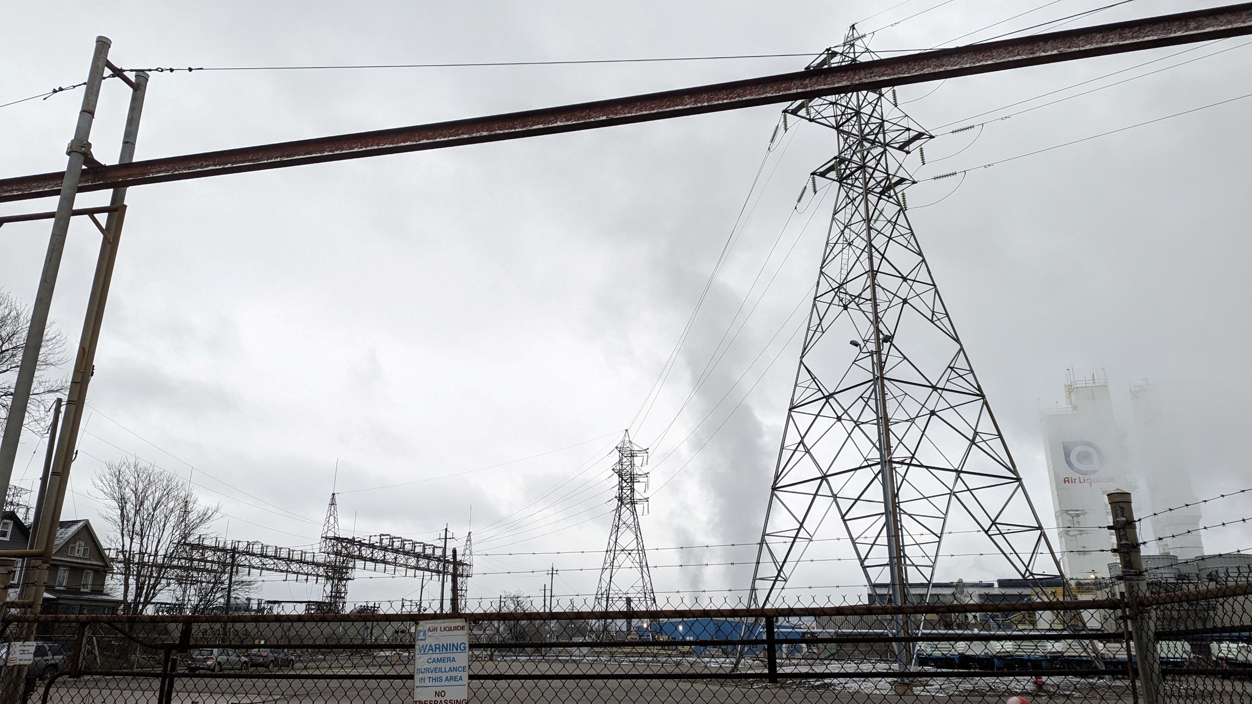
Notes and Disclaimers
- This data was drawn interpretively, using public materials from Hydro One as a general reference. Some interpretive refinements were made, and due to a lack of open parcel data, the exact extent of hydro property is a best guess. Therefore this data is provided ‘as is’; please refer to additional disclaimers at the Open Data page.
- While this page advocates for greater public access, utility corridors are private property and this page does not suggest they are all publicly accessible. Please observe all signage respecting access and activities permitted within these corridors. Remember that these are high voltage power lines, and they can be dangerous.
This dataset is available in multiple formats through the Open Data Portal