Last week, I began expanding the Metroscapes website to a third city: Hamilton. I had long had my eye on exploring Hamilton, based on a few adventures out there with a friend that used to live there, and knowing there was unique urban fabric.
See scenes from the first Metroscapes walk in Hamilton
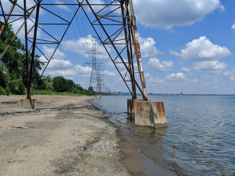
2020/06/28 – Beach Hydro
Hamilton sits at the west tip of Lake Ontario, providing a long shoreline to explore. After doing a series on the Toronto shoreline, I was naturally drawn to expand it, something I cannot do in the Tri-City. A sandbar, the industrial heritage and the continued operation of Hamilton Harbour makes for some interesting flux points. There’s your typical suite of rail lines and hydro corridors.
There’s also the fact it is a city of over a half-million, with the Niagara Escarpment running right through it. This makes for more vistas, public space, infrastructure challenges and waterfalls.
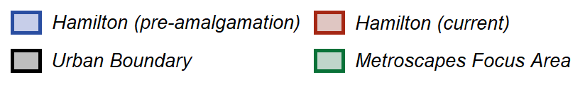
However, one thing I did not account for on launching in Hamilton: its amalgamation.
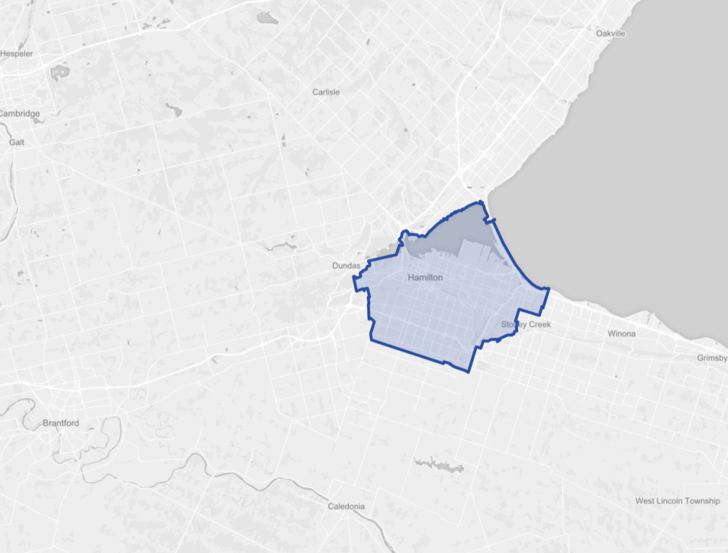
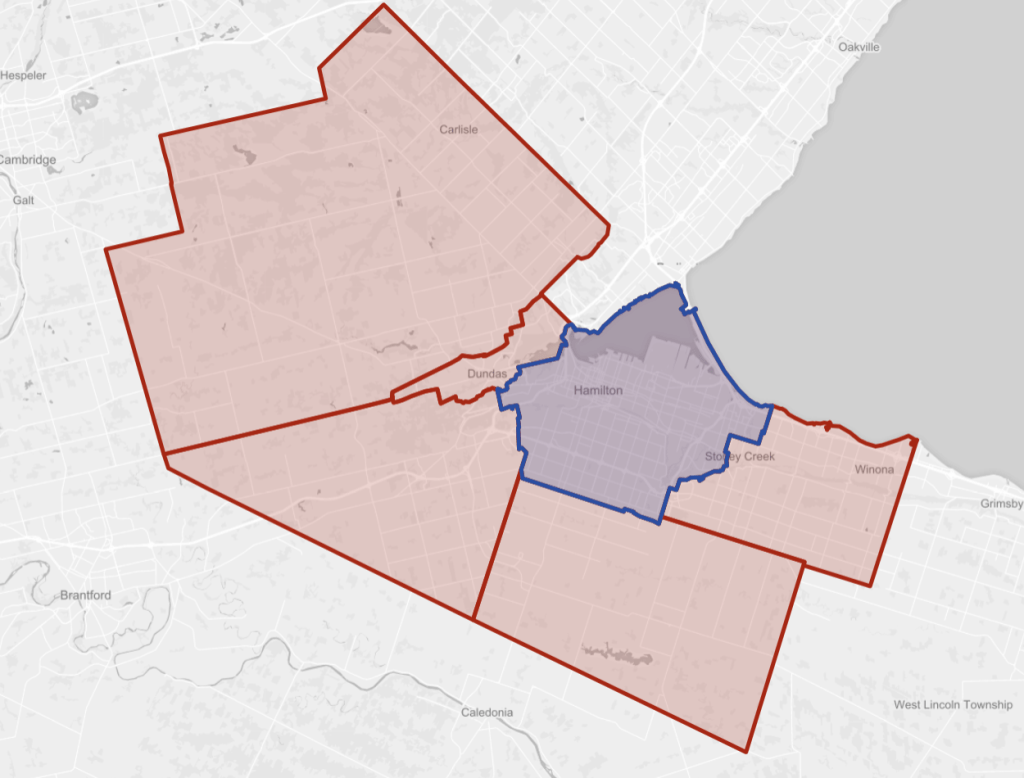
Prior to 2001, Hamilton was 144 square kilometres, somewhat bounded by the harbour, the 403, a line between Rymal Road / Twenty Road, and Centennial Road. As part of the same “Common Sense Revolution” that abolished Metropolitan Toronto, Hamilton swallowed its five neighbours: Ancaster, Dundas, Flamborough, Glanbrook, and Stoney Creek. This made the area of the “city” balloon to 1,150 square kilometres, or 8 times its size.
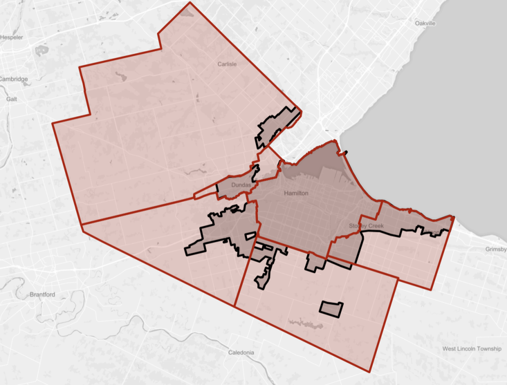
The thing with amalgamation: while Hamilton was mostly a built-up urban area in 2001, its neighbours were not. Even post-amalgamation, the urbanized part of Hamilton hasn’t spread like wildfire. Lands within the urban boundary still only account for 260 square kilometres (22.6%).

Up until this point, this hasn’t been an issue for me. The city limits of Toronto and most of the Tri-City are urbanized, making for obvious intersections between natural and built environments. But did I want to explore all the way out in Hamilton’s rural areas?
No. That’s not really what I’m interested in. Obviously, there’s no intersections with a built environment, and rural lands are challenging to explore given their vastness and lack of public space.
So going forward, I have delineated a rough area where my walks and analysis will be bounded to, measuring about 330 square kilometres. It encompasses Hamilton, Dundas, Greensville (part of Flamborough), eastern Ancaster, northwestern Glanbrook, and north/western Stoney Creek. It’s mostly guided by the urban boundary, but also includes the escarpment and some other features. They are not strict boundaries either. It just provides some guidance on where I will focus my time and interest.
So I hope you enjoy. I’ve got a walk under my belt, and I currently have two projects cobbled together: shoreline ownership and hydro corridors. You can look forward to more analysis of neighbourhoods, railways, and an inventory of the city’s waterfalls in the future.
But as always, use this work as inspiration, and go explore your local metroscapes for yourself.

One thought on “Hamilton: Intersection of Metroscapes and Rural Areas”