I’ve said it time and time again. I hope you use my website as inspiration to get out there, and explore your own city. Seeing my pictures, video and text will never do it justice. And you may find a surprise or two along the way.
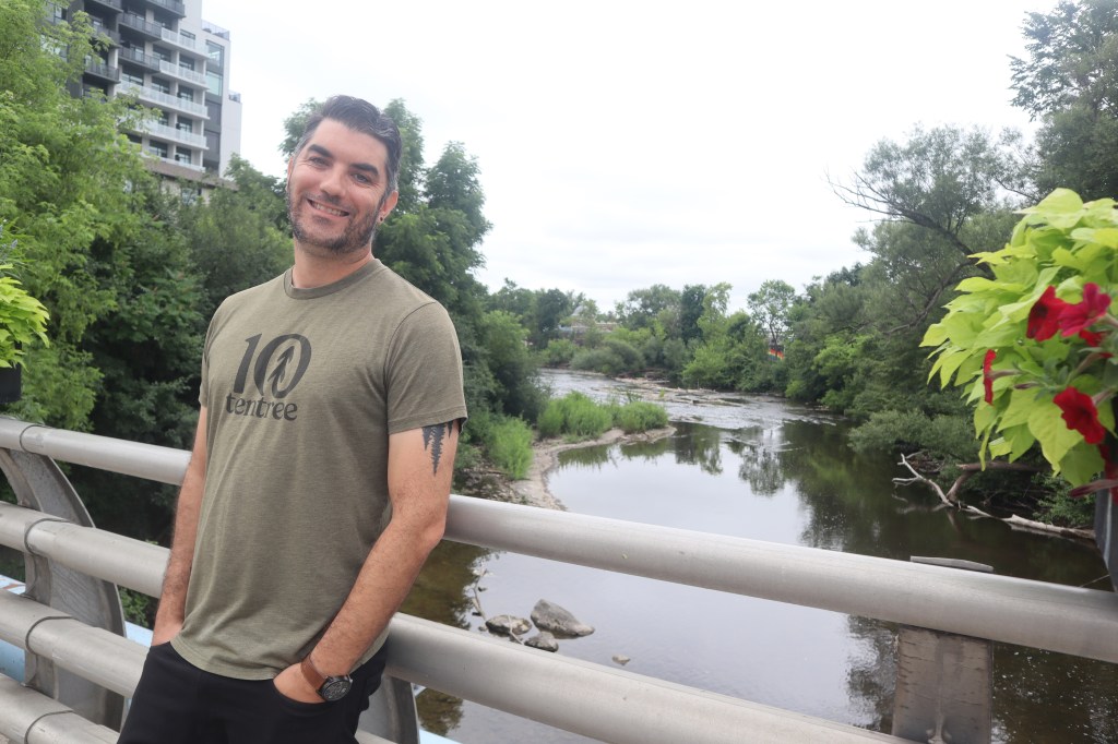
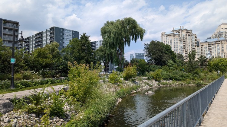
Case in point: I was interviewed by Guelph Today reporter Santana Bellantoni this past Tuesday. As we casually strolled along the Speed River, we entered at least a couple spots where even she had not been before, and she was genuinely surprised.
You can check out her article about Metroscapes below.
On March 11, 2025, I had the privilege of being invited by Civic Tech Toronto (@civictechto.bsky.social) to present at one of their Hacknights. If you want to check it out, please do so below:
I didn’t know what I’d say until I made that presentation. I got started the same night as I got the invite, a month and a half prior. But as I started to lay things out and explain, and as I learned about the amazing products of, team behind and participants of Civic Tech Toronto, my approach changed.
This whole website started because of walking. It evolved when I expanded it to create projects. And now I offer over 30 datasets for download in a couple formats to make it a more accessible to a user’s abilities, and provided under a free licence.
It’s a lot of information; nearly 3,000 individual features that I have either modified from open data, for created myself from scratch.
In this day and age, now more than ever, I am doing this on a domain space that belongs to me, and I can control. It will not disappear into the abyss because a billionaire buys the platform, starts pulling wires in the server room and slashing the support team.
I don’t have enough time right now to do deep dives on this data. But I don’t want it sitting and collecting dust. I put it out there, in case someone else wants to explore it, and maybe make something new out of it.
And maybe, just maybe, make something happen from it.
I alone can’t make all the changes I want to see in the Greater Golden Horseshoe. It takes many voices in a chorus to push for what we want. I’m happy to be part of that movement, and do some of the leg work (pun intended) to help make these proposals evidence-based.
I hope to make more presentations like this in the future. I also have it on my never-ending to-do list to make some videos to help showcase my data, and how to use it.
Hey everyone. Just wanted to drop a line that I have dropped a fair number of new projects in the North and East Greater Toronto Areas. I have yet to do walks there, but it’s on my to-do list for 2025. Region landing pages, project pages, interactive maps and tables have all been created, with corresponding datasets uploaded to the data portal.
Hey everyone. I published a new YouTube video tonight, looking back at a walk I did over 5 years ago along the Toronto Beltline.
I was motivated to do this because I wanted to don some rose-coloured glasses. When I lived in Toronto, I used to live near where the Beltline crossed Yonge Street. So it was often a route to and from the bar. It was a post-dinner scene with extended family. It was where my partner and I took slow jaunts before we became parents. And it was a playground for my first-born.
This segment of the trail formed some core memories of my Toronto life. So it was a bittersweet video to make.
Hey there. It’s that time of year, where everyone reflects on what they did in the last year, and looks forward to what they want to accomplish in the next.
I’ve been doing this for Metroscapes for the past 6 years, and I switched it up to a video format last year. I have now continued that for 2024, as this marked my first year debuting on YouTube.
Be sure to watch to the end for a photo montage featuring highlights of my walks from the last 365 days.
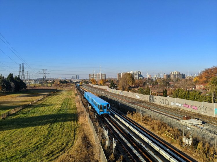
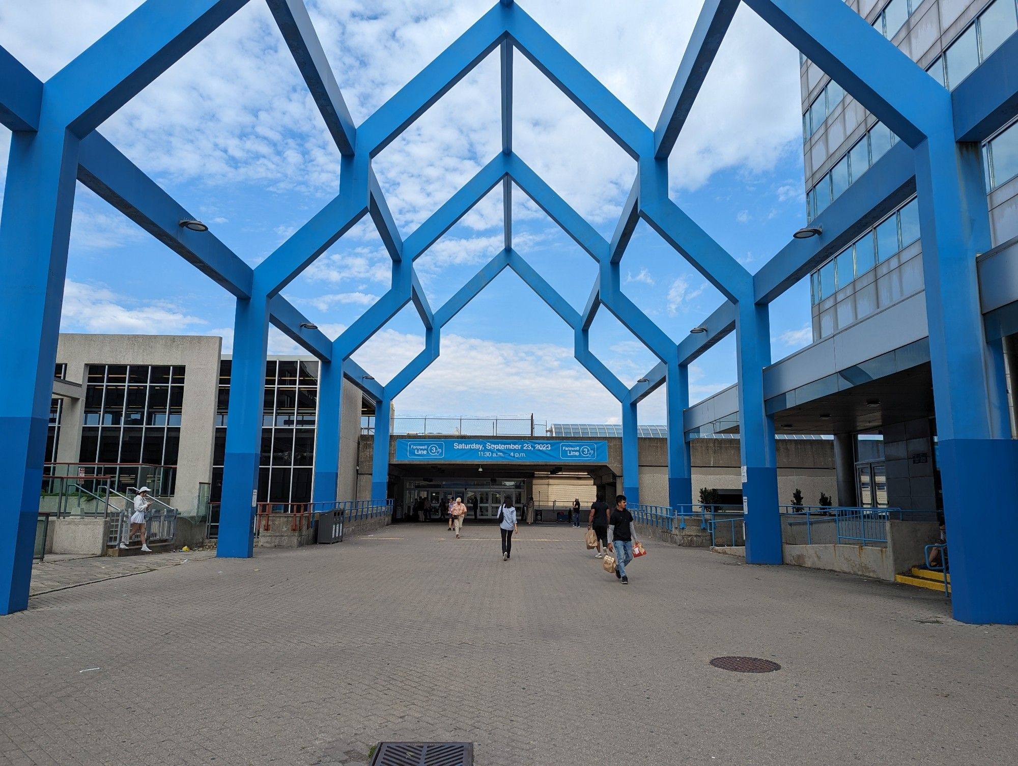
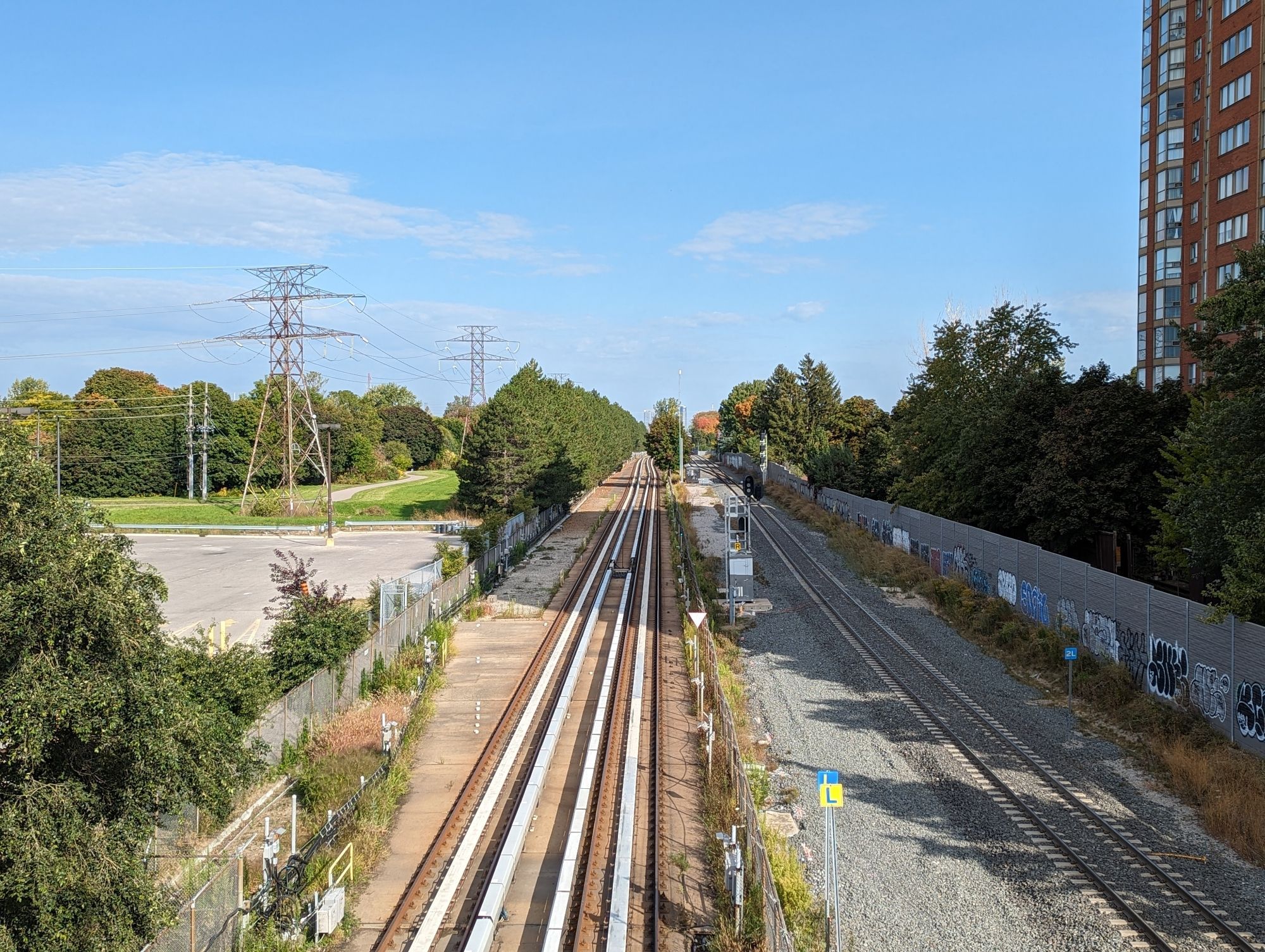
Toronto’s Line 3, known as the Scarborough RT, has a long history as being a quirky part of Toronto’s rapid transit system. There are a few other sources out there that can tell you about the troubled history. But the key thing to highlight is that it used unconventional equipment to propel itself, and it was running a decade beyond its intended lifespan.
The RT was scheduled to have its last day of service on November 19, 2023. However, a derailment on July 24, 2023 shut down the line, and after a month of looking into the cause, the city opted not to re-open it. It was an ending that was premature or long overdue, depending on your perspective.
But now that the official end has come, and the province has opted to replace it with an extension of Line 2, it’s time to think about whether the line’s former route should have a new beginning.
I’m going to walk through this in sections, from east to west to south.
Guideway
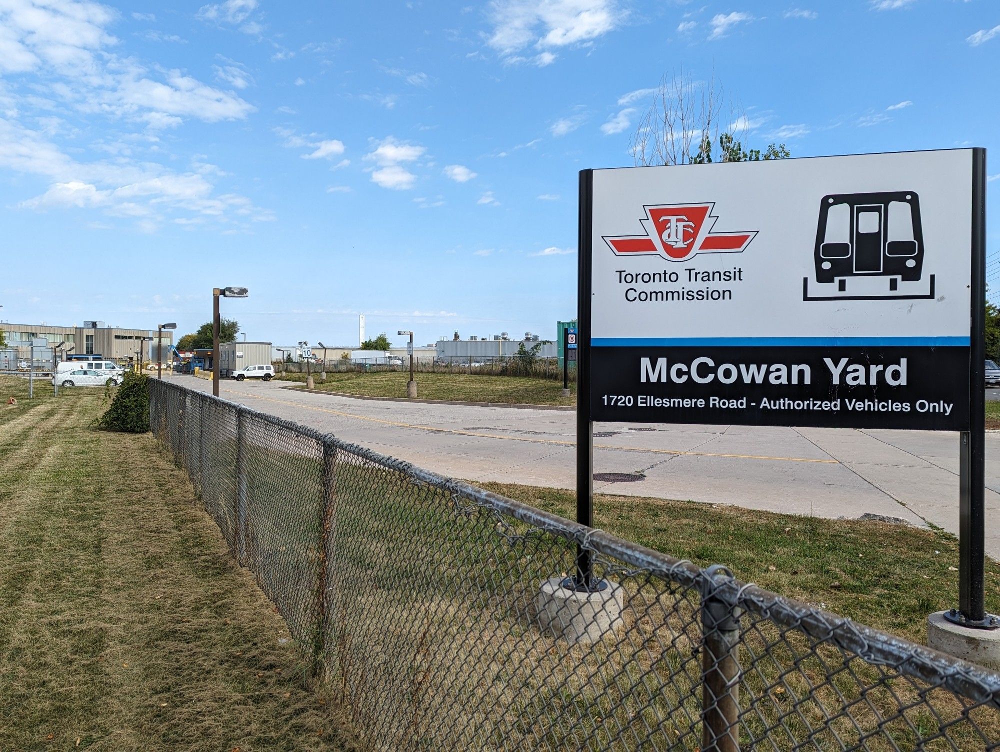
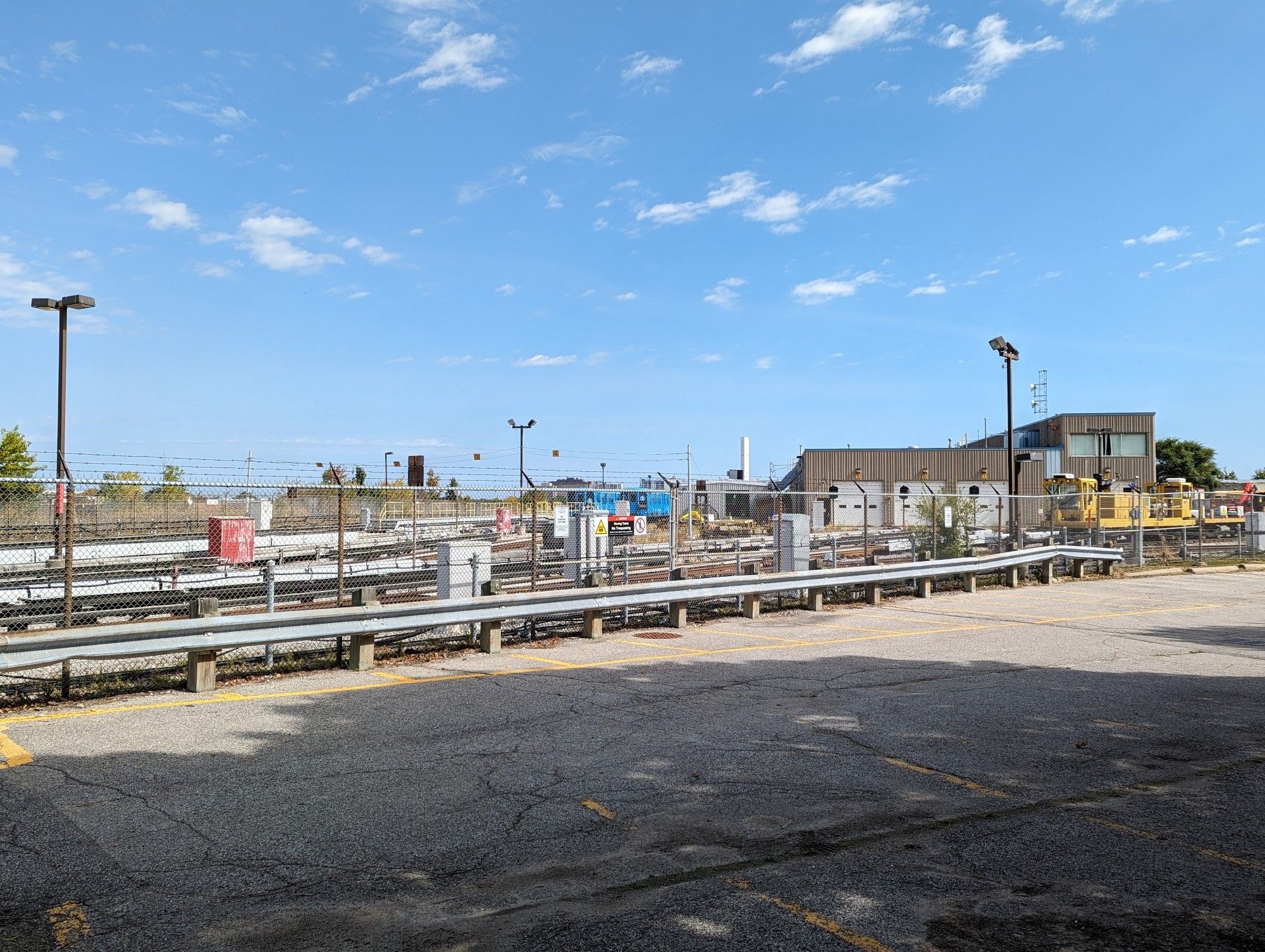
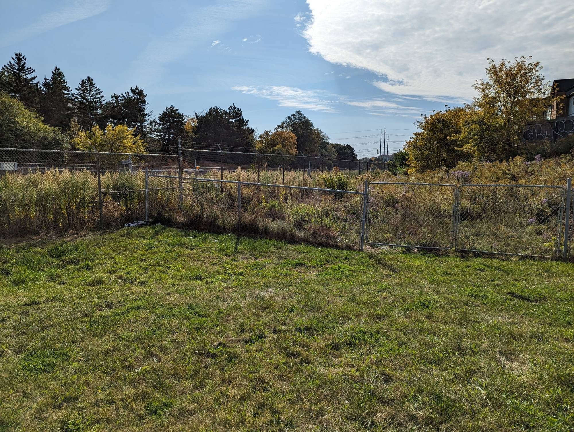
The journey of an RT train started (and ended) at the yard. The maintenance and storage facility is located at 1720 Ellesmere Road, and the property technically spans all the way to Bellamy Road in the east. This sets up a great potential parkland gateway, as this is where part of the RT right-of-way (at least where it was supposed to extend to) meets the west branch of East Highland Creek. This reach of the creek is prime for trail in parallel; they exist downstream near Ellesmere / Military Trail (where a new Meadoway crossing is also under construction), and upstream at White Haven Park, but there’s nothing in-between. A trail / park through here could be the start of a gateway to other parkland and neighbourhoods to the east and north.
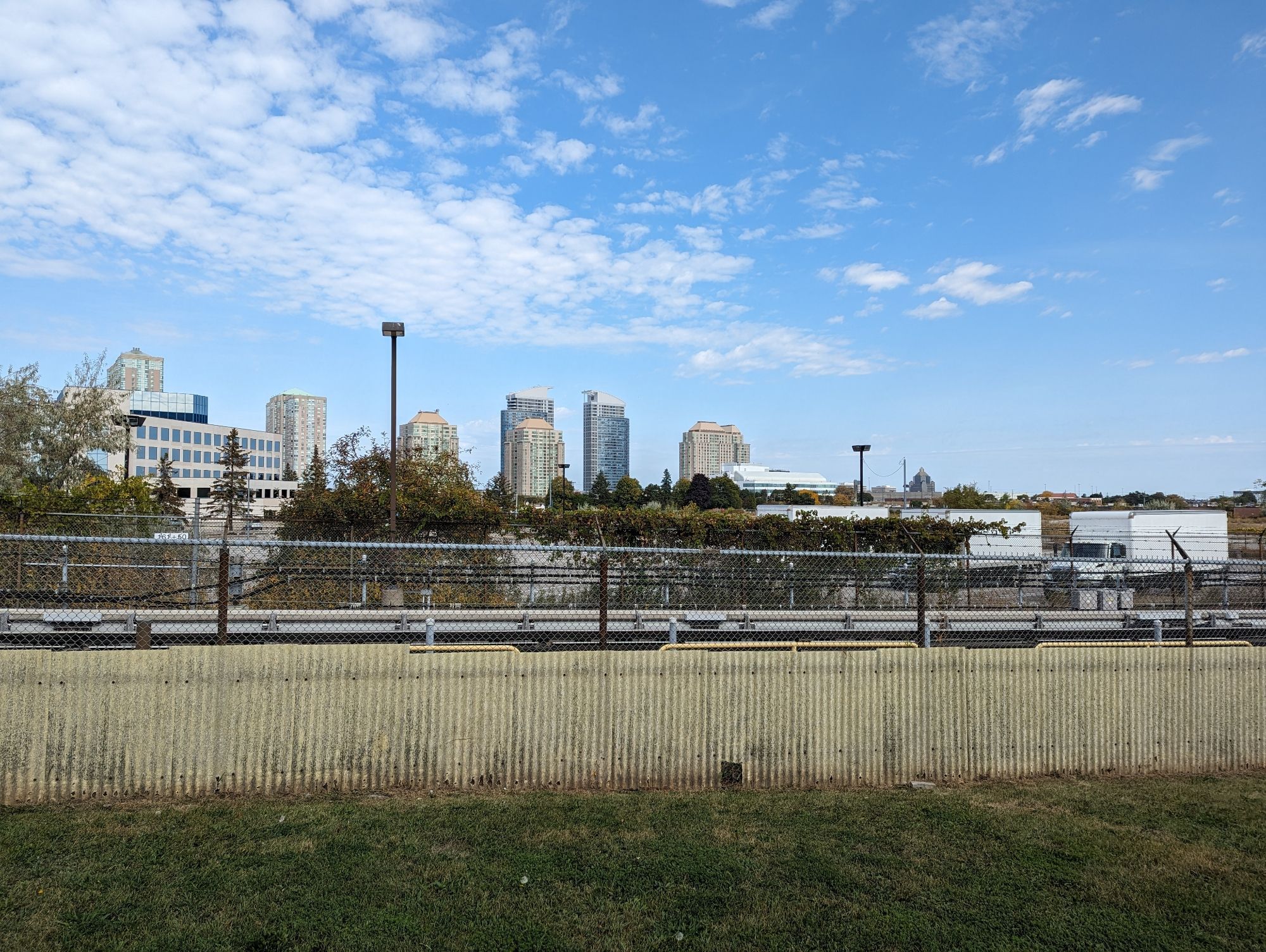
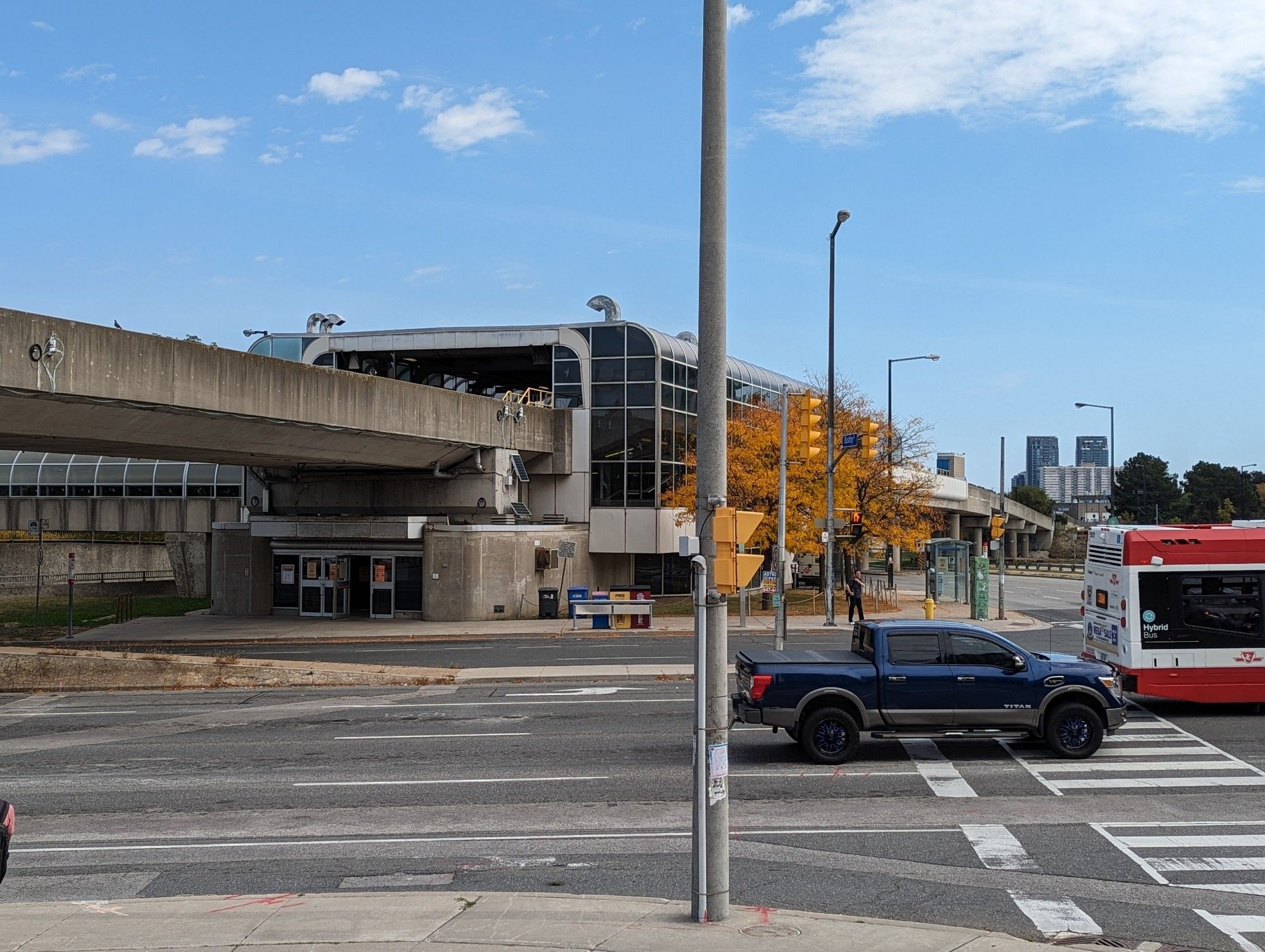
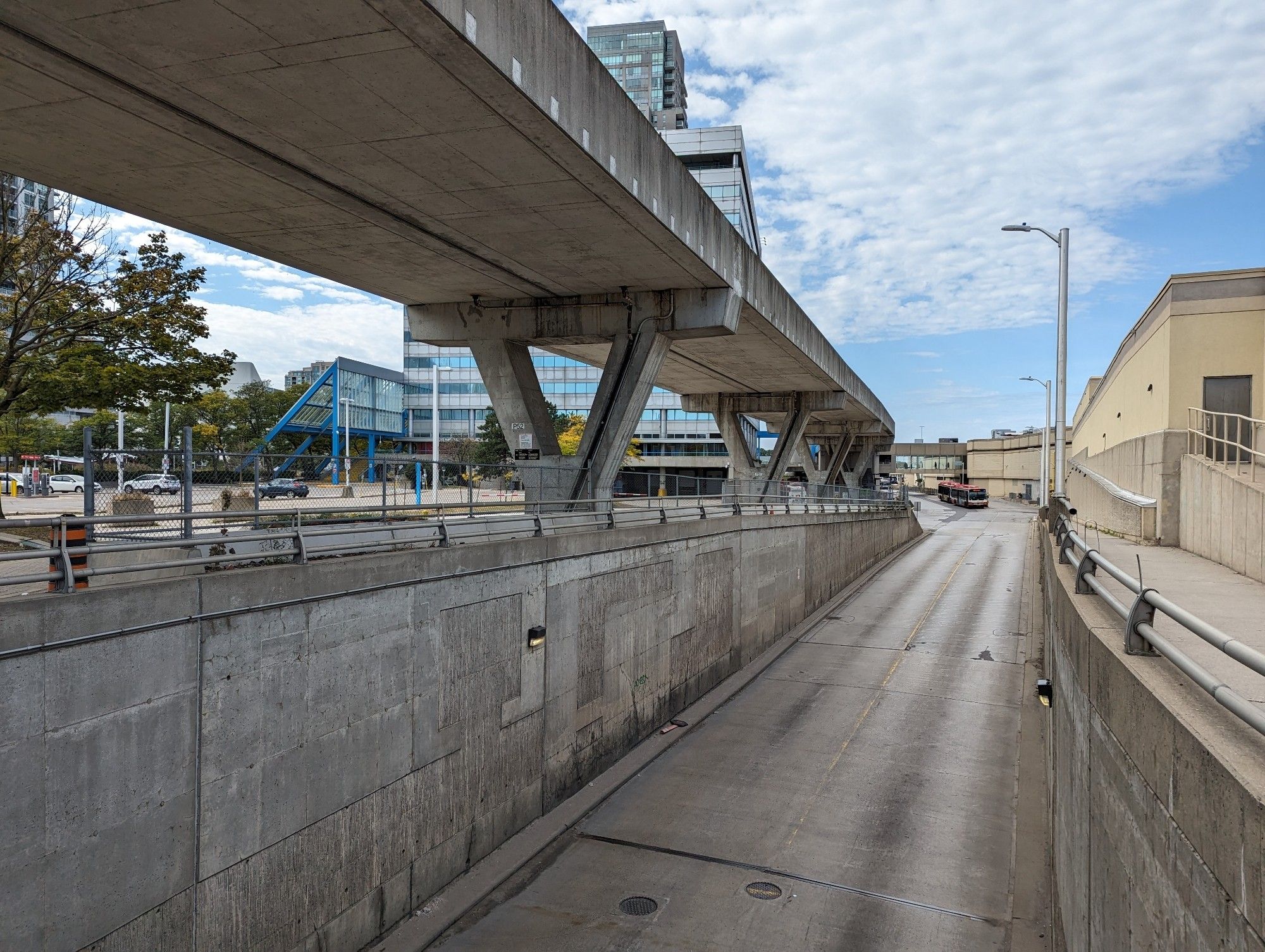
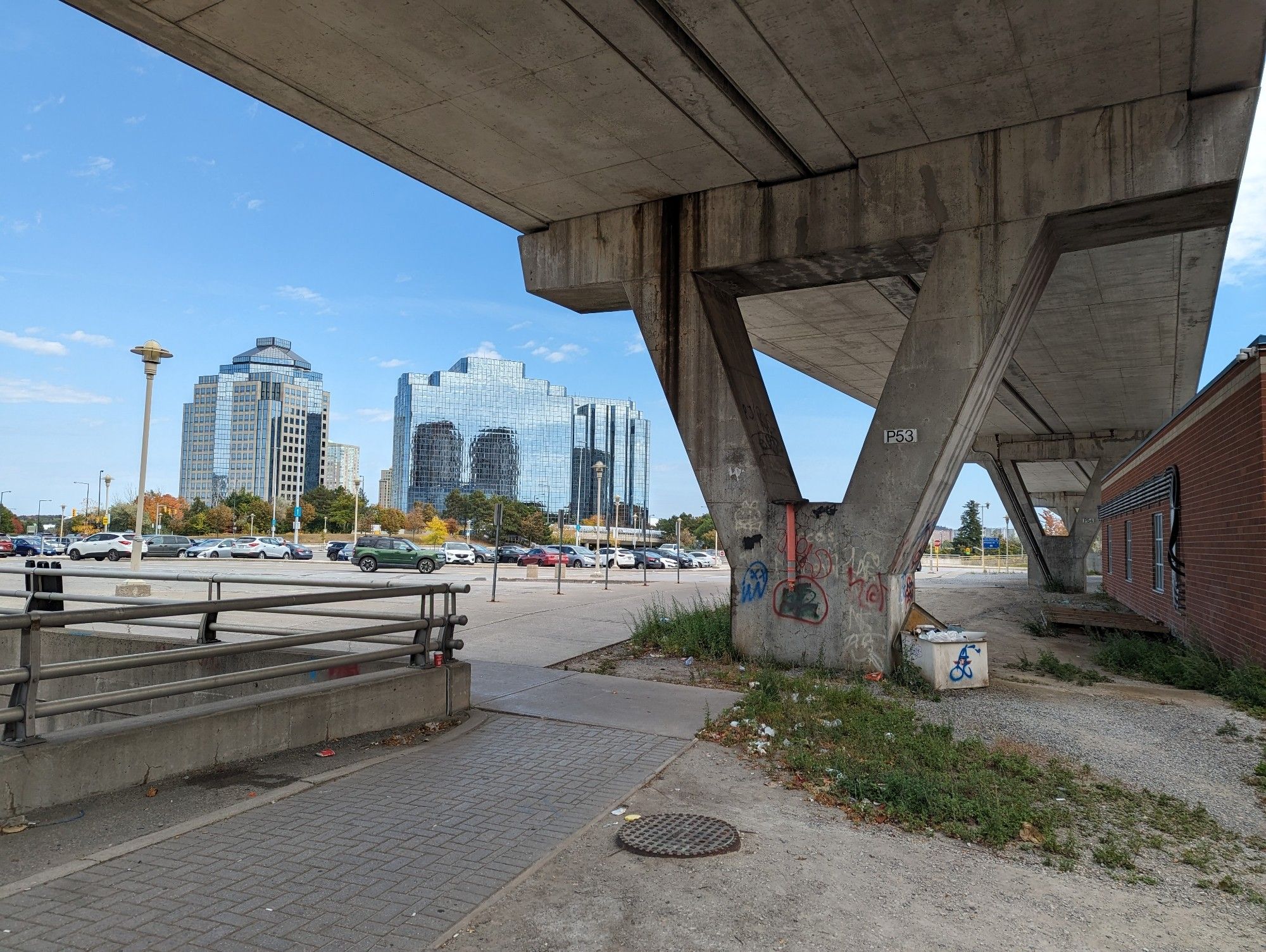
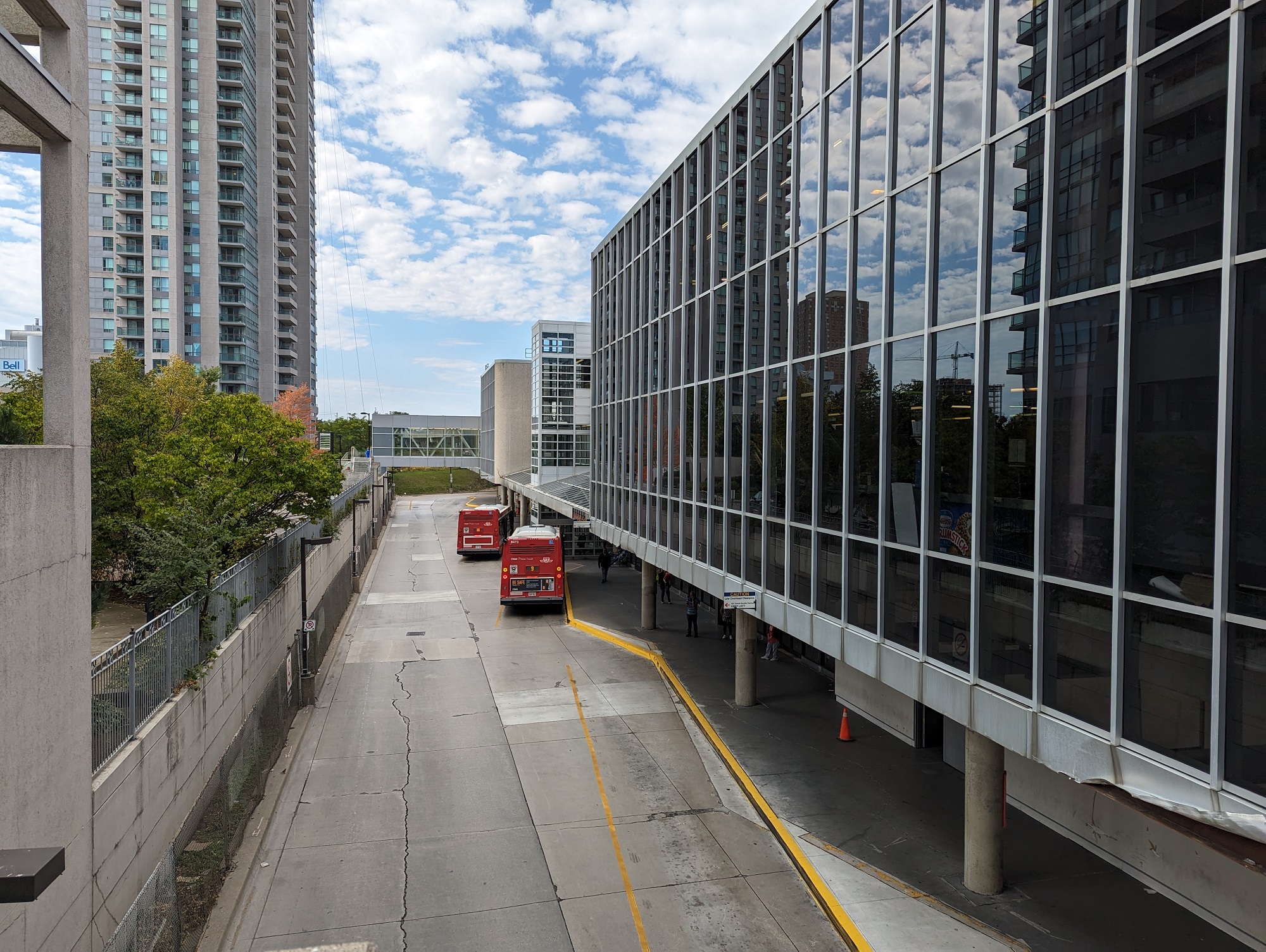
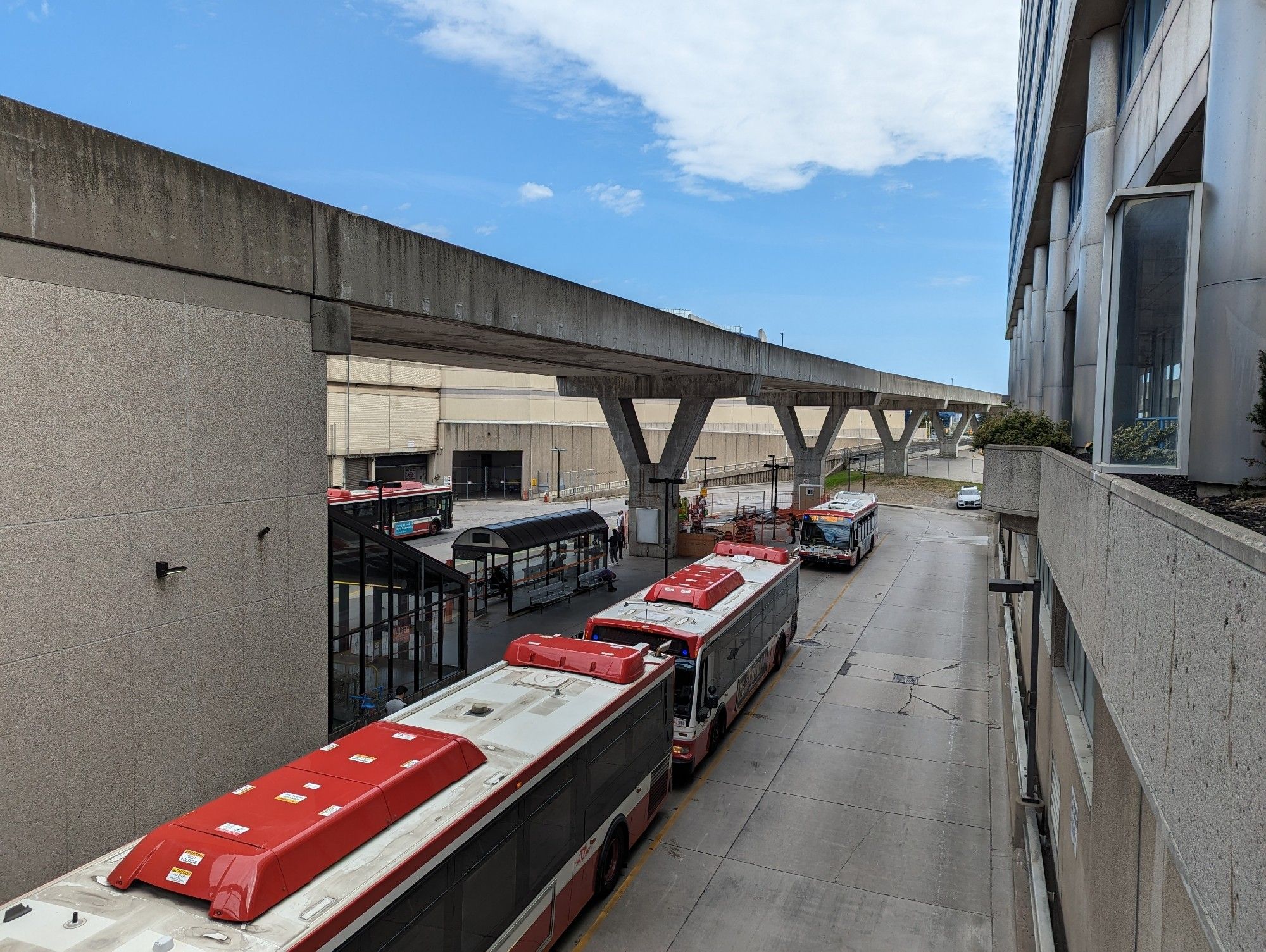
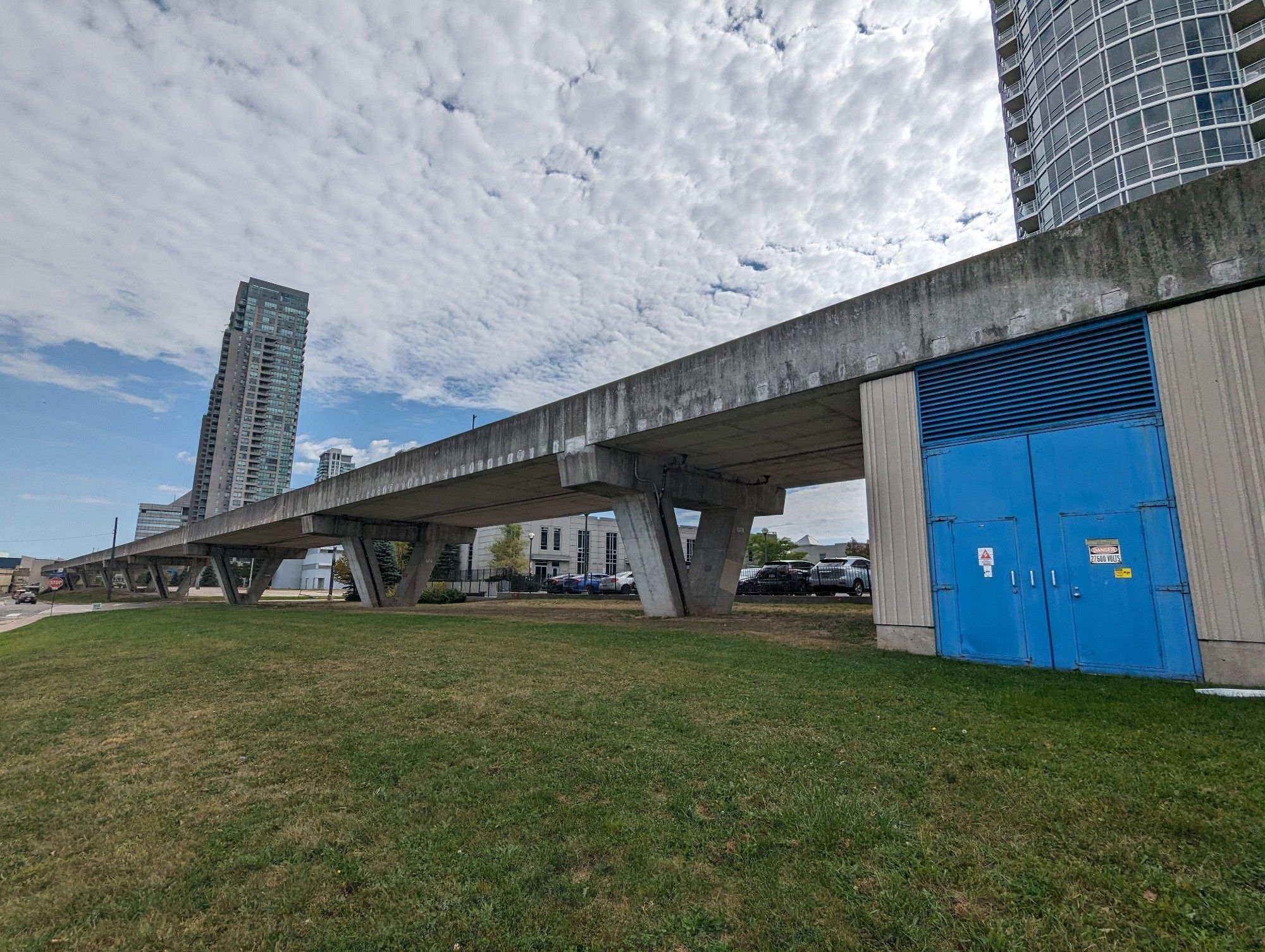
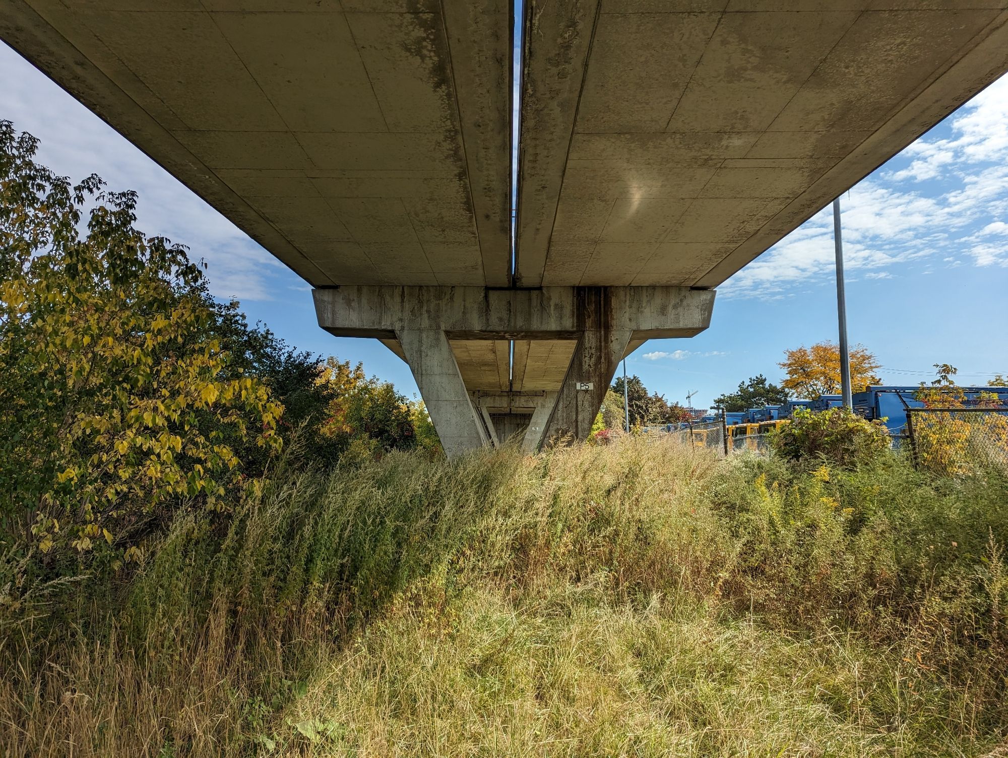
Continuing west, we begin ramping onto the Guideway proper. This leads you all the way from McCowan Station through to Scarborough Centre and McCowan stations. Community leaders in Scarborough have already jumped on the idea of converting this into an elevated park, including a former director of the Scarborough Business Association and now TTC Chair Jamaal Myers. It seems like a no-brainer. The stretch through Scarborough Centre will be a pleasant gauntlet alongside the growing number of condo towers.
I hesitate as we continue west over Brimley Road. This section of the RT is less than pleasant, as you will be treated to the noise and odours from two paper / packaging facilities on Progress Avenue. It’s not ideal, but I don’t think it’s a reason to not do it. Despite being a view of industrial backlots, it’s also home to the Bendale Branch of West Highland Creek. Continuing the elevated park out here could forge a great new connection to Birkdale Ravine, itself a gateway into a vast network of existing green spaces. It could also be a point for a future connection northwest to Kennedy Commons and numerous apartments west of Kennedy / south of the 401.
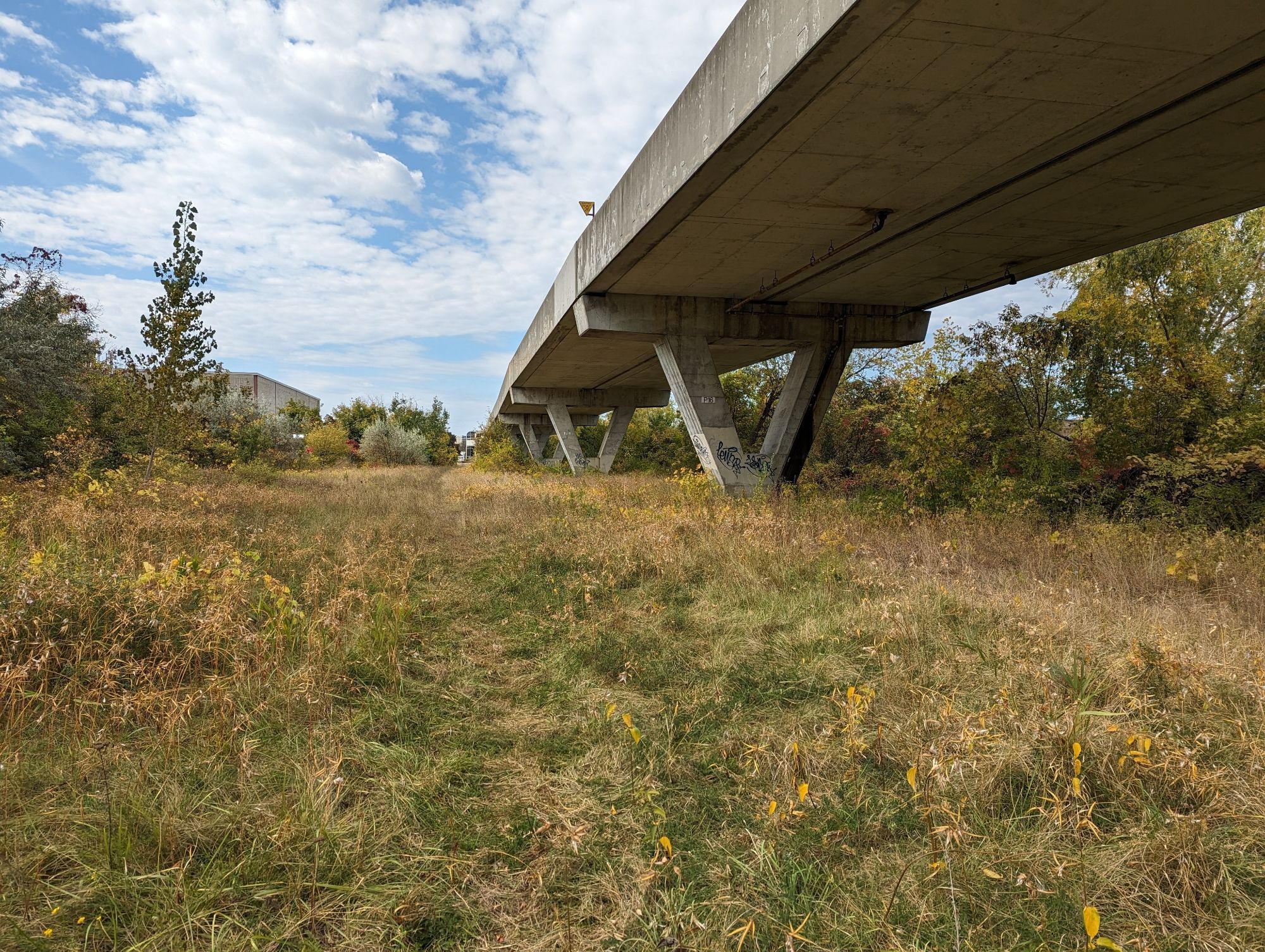
Tunnel
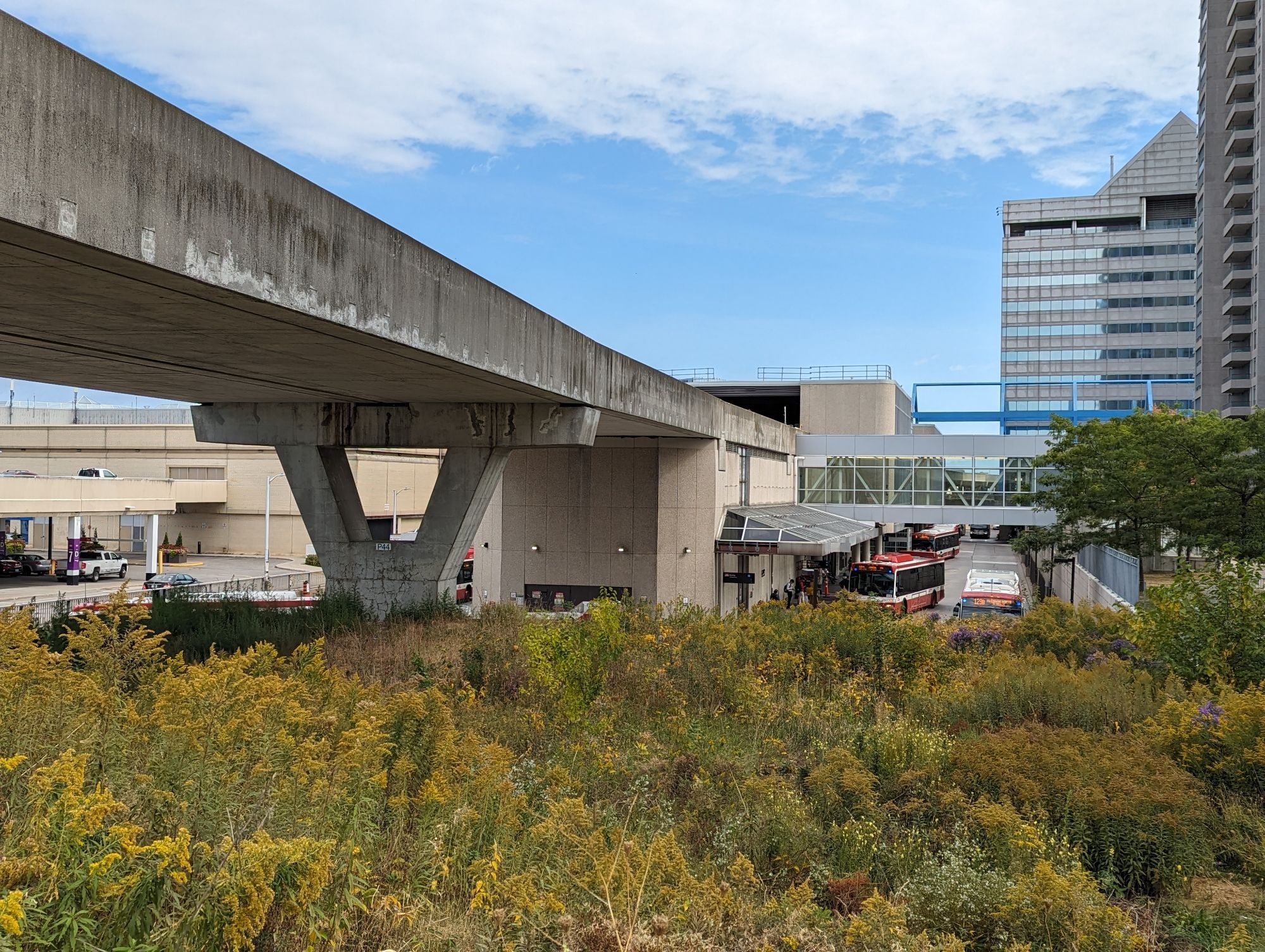
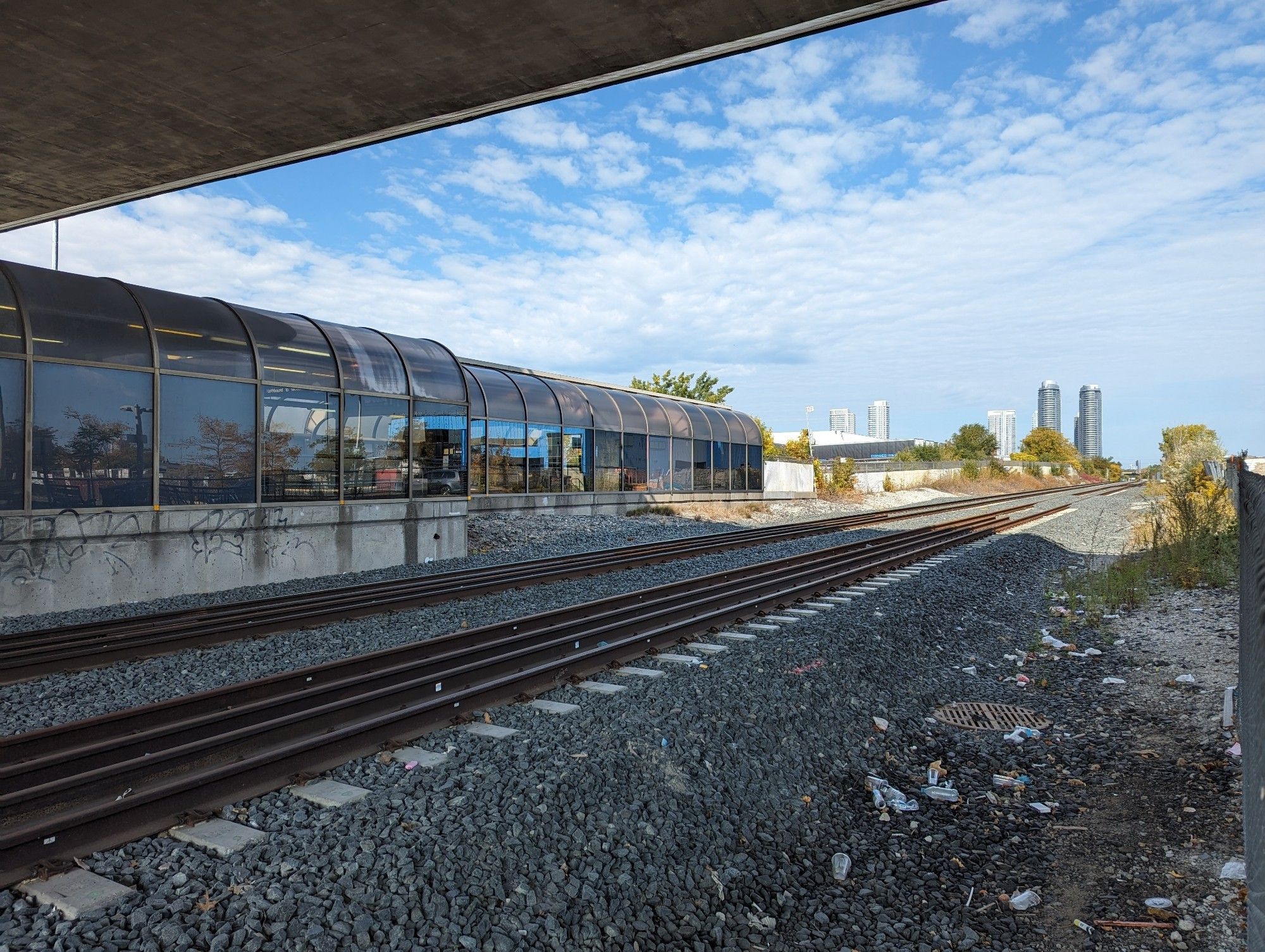
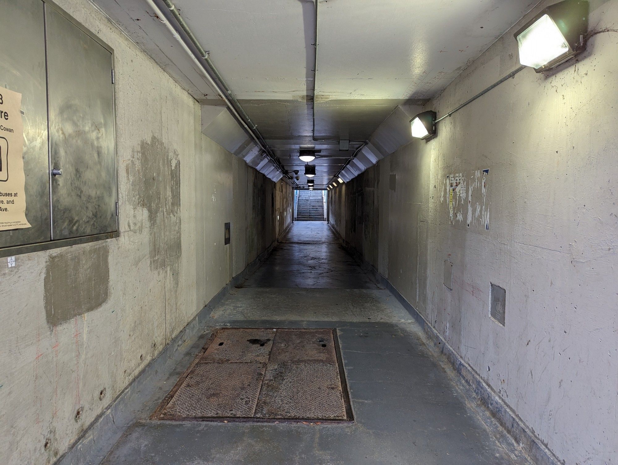
West of the Bendale Branch is the flyunder; the tunnel that took RT trains from the guideway, under the GO Transit Stouffville Line to Ellesmere Station. I am conflicted on this.
On one hand, extending the elevated park through the tunnel would make a great grade-separated path. But on the other hand, it is 115 metres long, and prone to becoming a potentially dark and scary place. I wouldn’t be as concerned if this was nestled in a core area with lots of surrounding residential and commercial activity. But this is still an industrial spot without many eyes on the street. It would take immense effort and neighbourhood change to make it work, in my opinion.
I say fill it in. It’s tough to erase a useful piece of infrastructure, but it’s not worth trying to force a feature that’s doomed by its location and dimensions, and putting people at risk. In lieu of this, it would be better to just extend the guideway over the tracks.
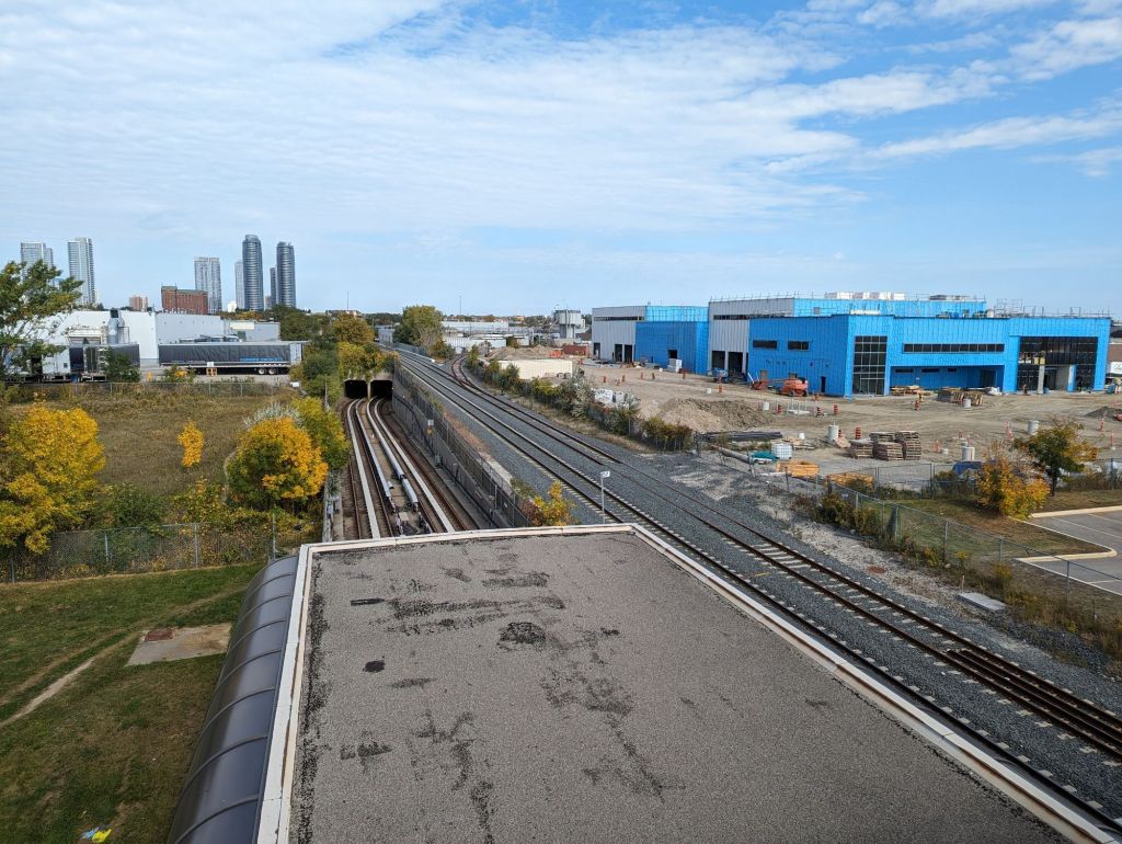
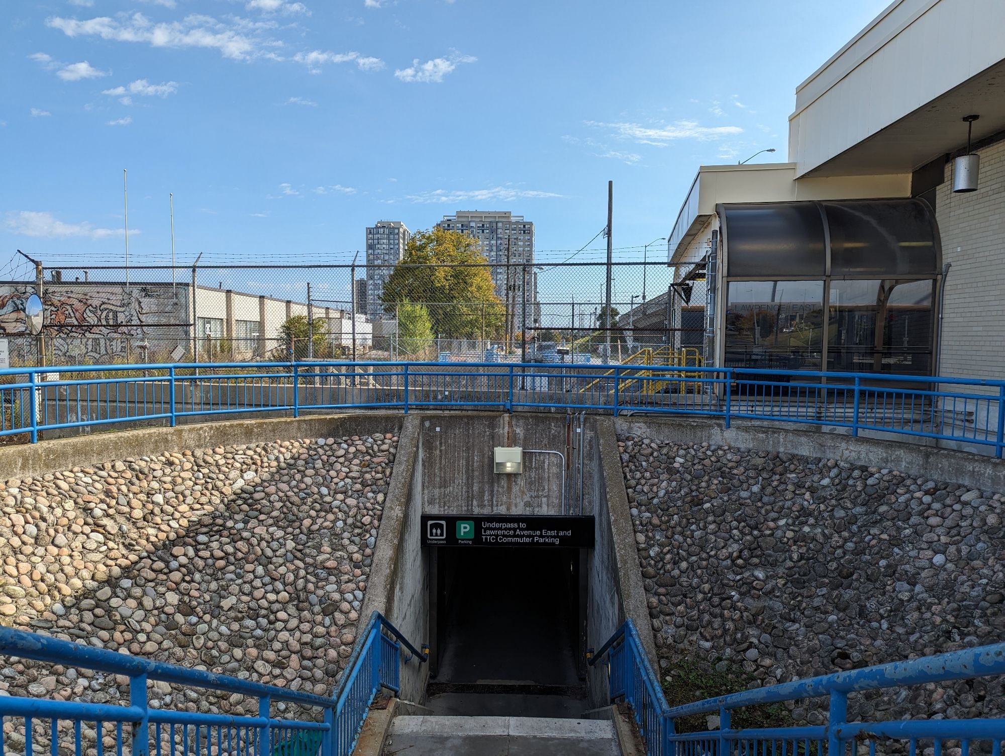
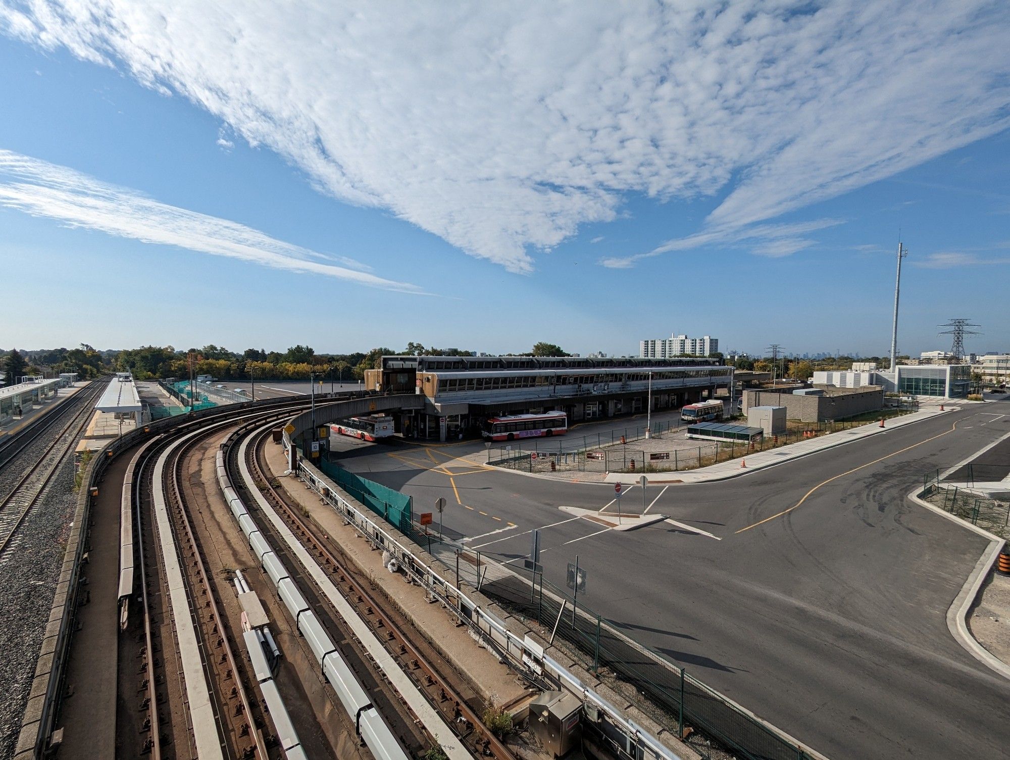
Stouffville Parallel
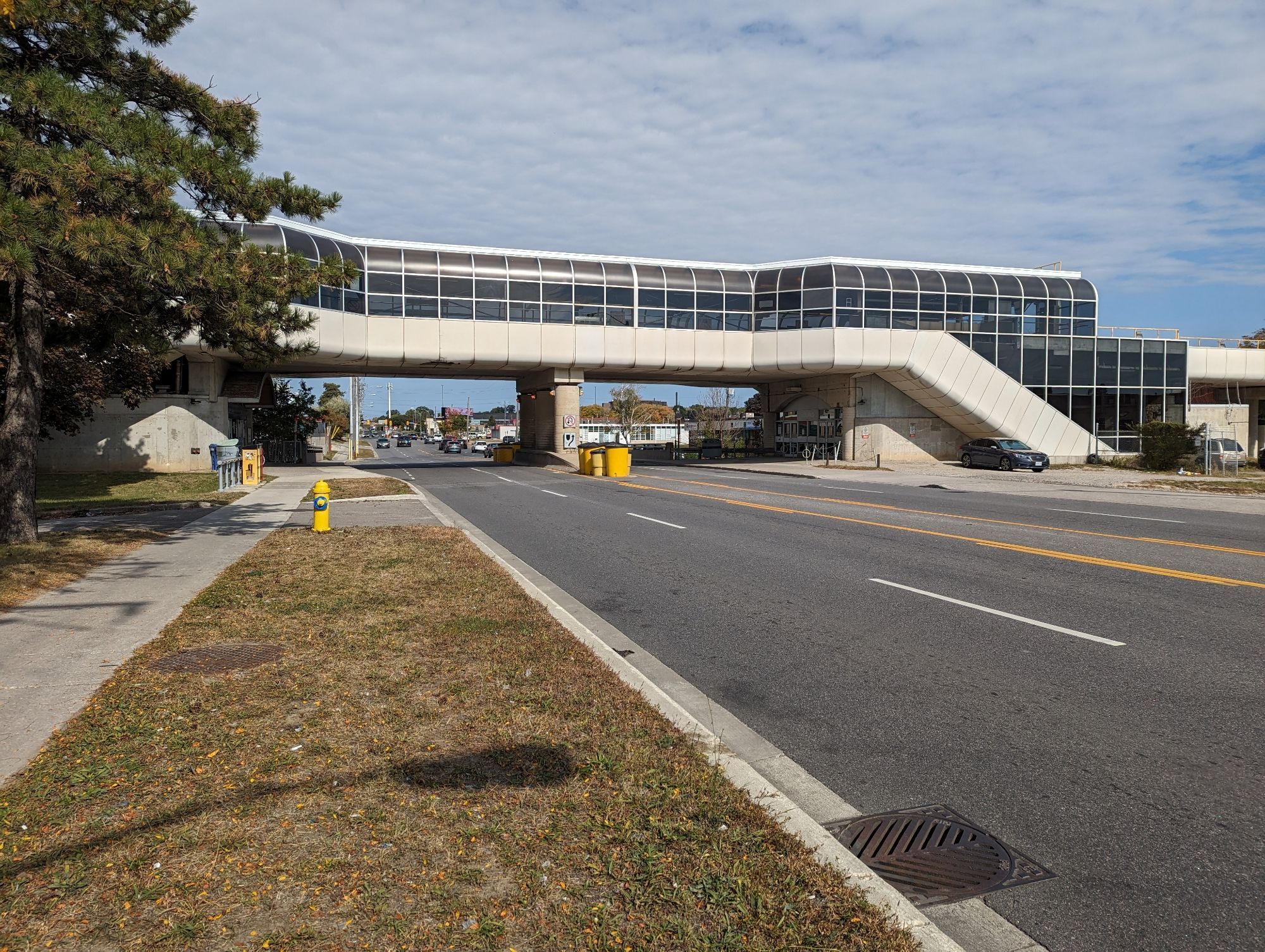
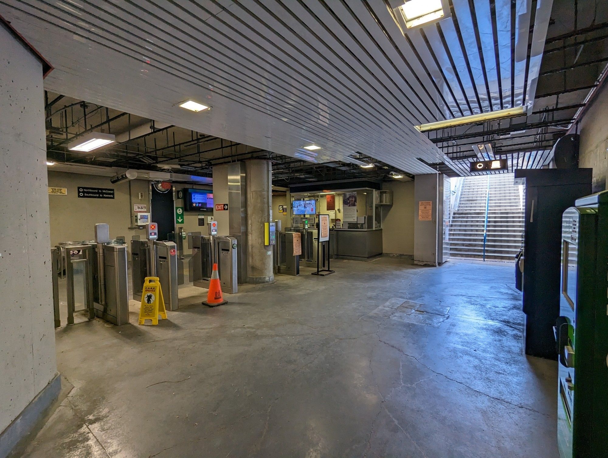
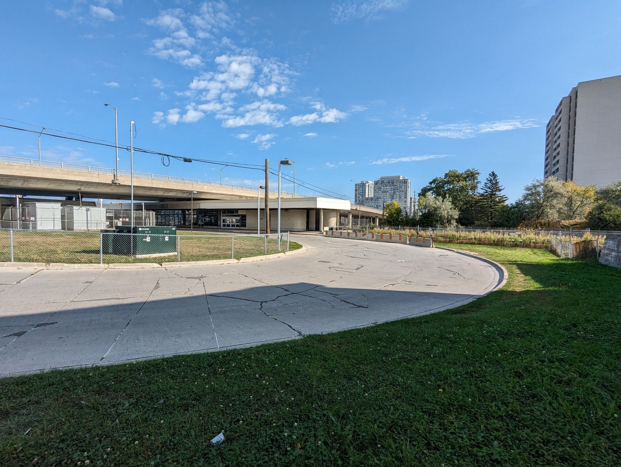
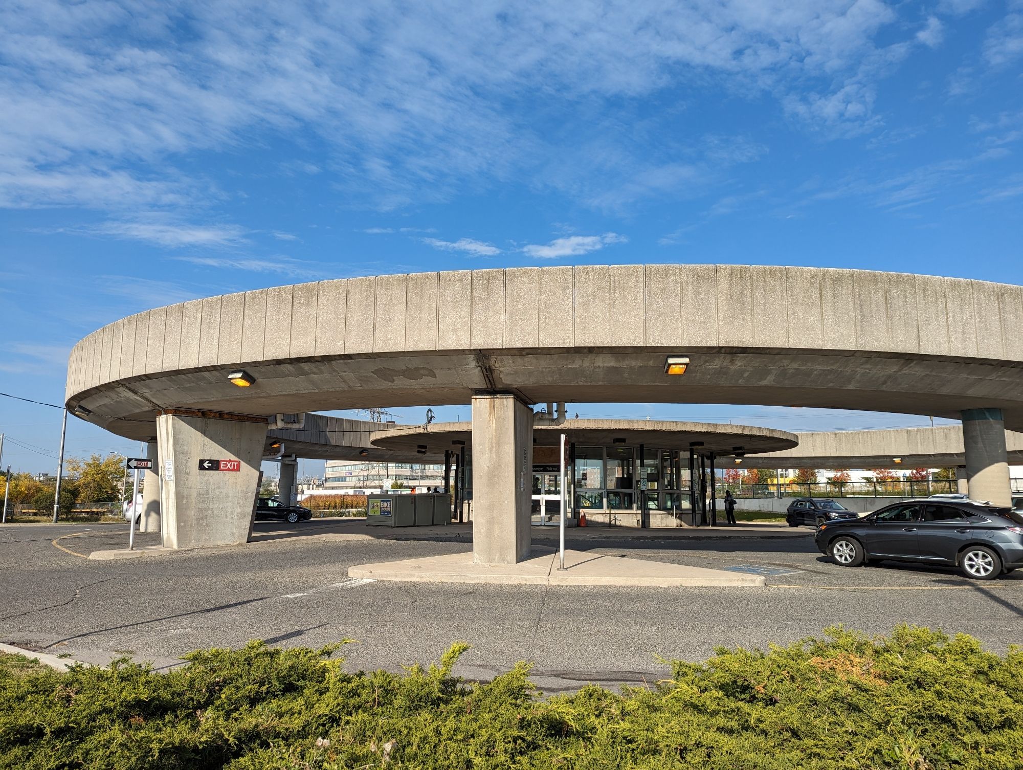
After the tunnel, the RT meets Ellesmere Road and continues parallel to GO Transit’s Stouffville Line. This takes you through the final three stations: Ellesmere, Lawrence East, and Kennedy.
In the interim, there’s a case for converting it to a dedicated busway. This is certainly what Mayor Olivia Chow wanted, and it sounds like it’s going to happen. As much as I advocate for walking space, I certainly think this is the best use for the former RT route.
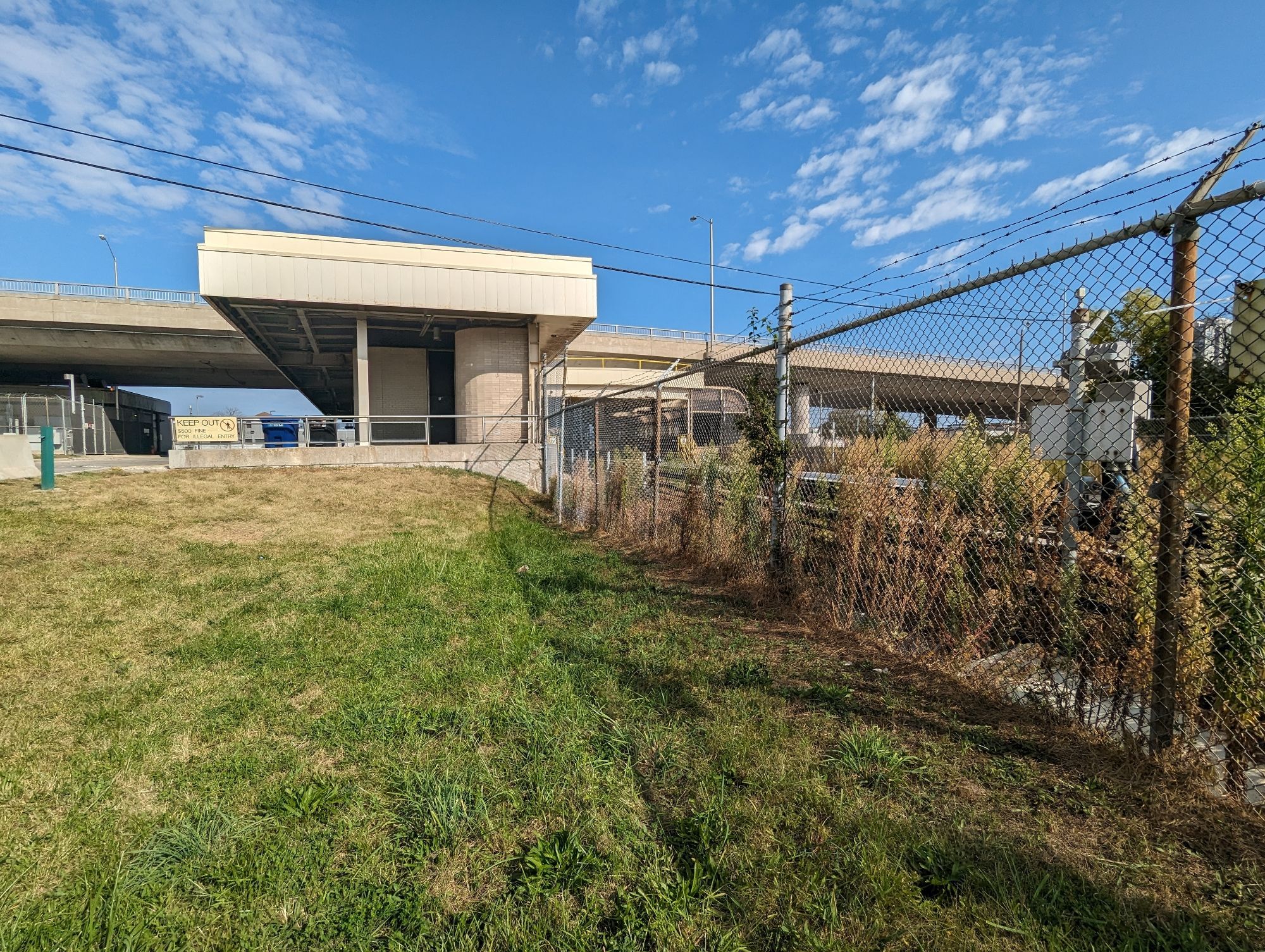
The former two stations are, just like the yard, candidates for housing. However, they are on the smaller side, and will be constrained by setbacks to large bridges and the railway corridor.
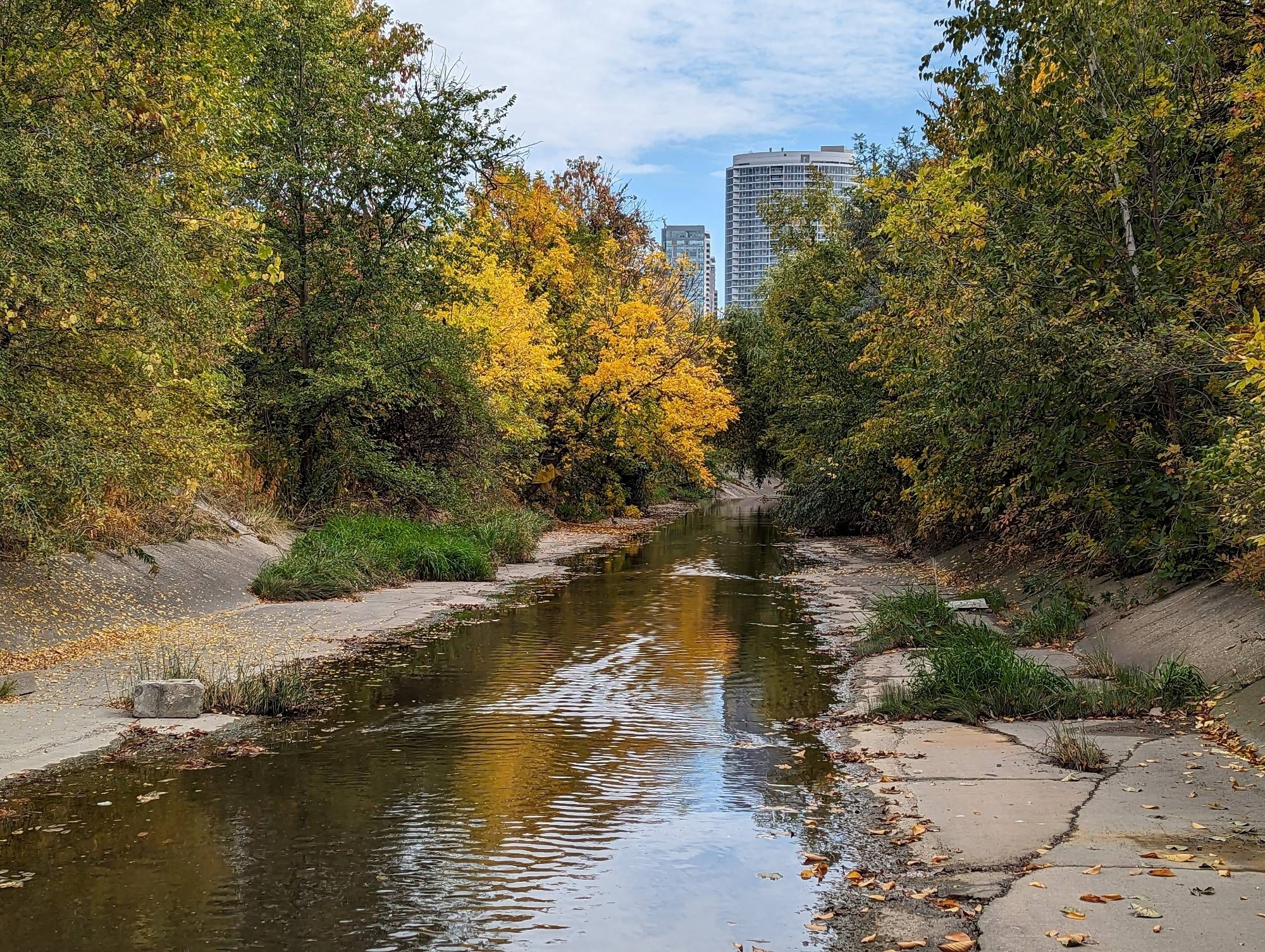
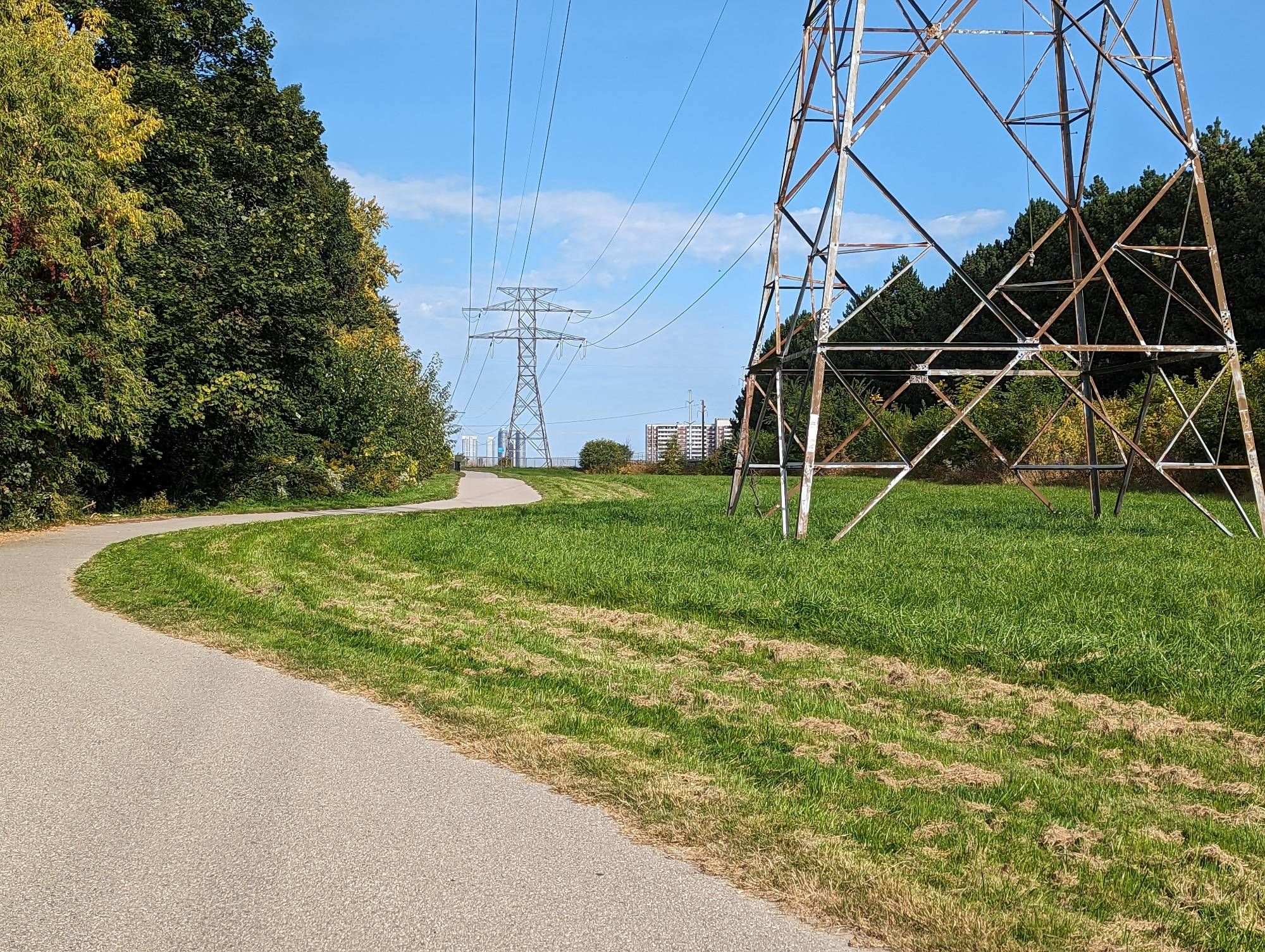
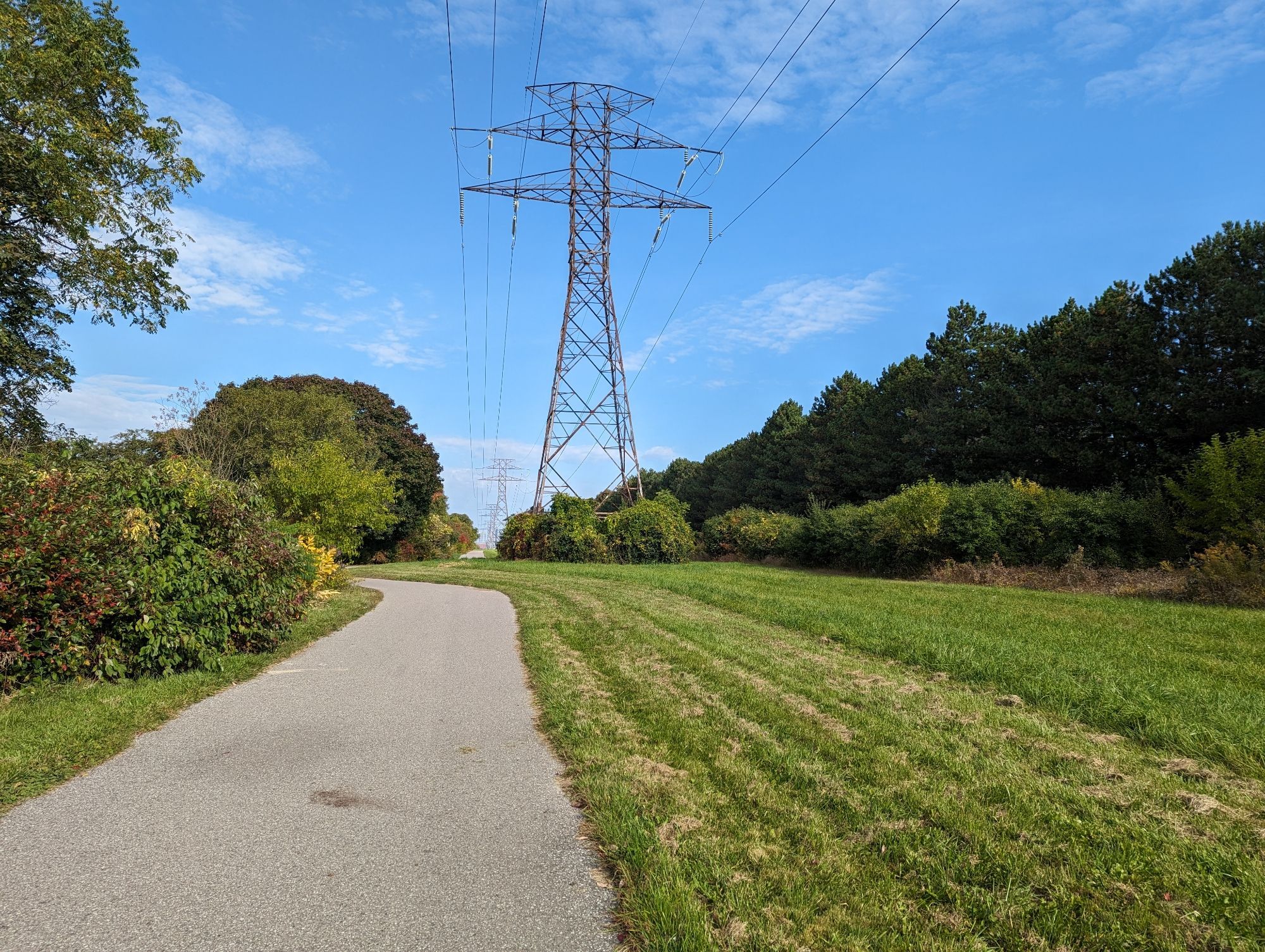
Ultimately though, this should be an opportunity to ensure it remains a critical utility corridor. That doesn’t mean it can also expand public space at the same time. The corridor from Ellesmere to Lawrence East is not direct, and almost impossible to do directly. South of Lawrence East through to Kennedy is a dream, an active meadow and treed way with an asphalt trail. It’s almost a pre-cursor example to the Meadoway project bounding it to the north.
We shall see what the future holds, but this is a once in a lifetime opportunity for something unique with character, and I hope it does not face a slow death through rash decisions and value engineering.
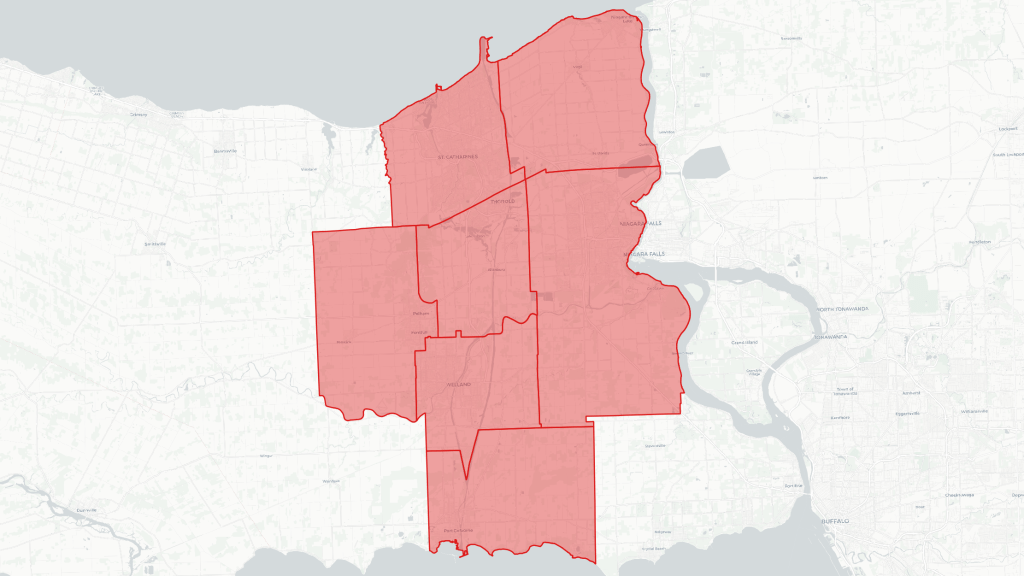
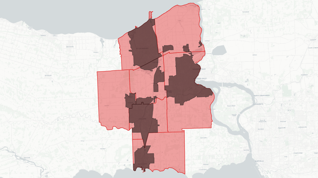
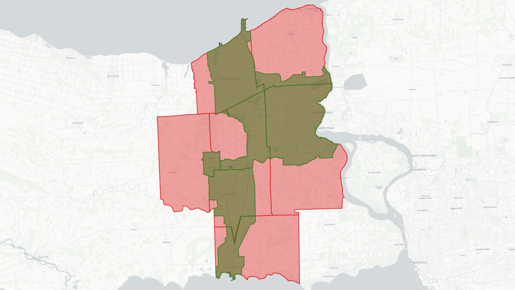
Hey there. I kicked off September with another chapter of my expansion, and took a walk in Niagara Region. I walked along an intriguing river stretching from the Niagara Escarpment to Lake Ontario, cutting through St Catharines.
Now when I was doing my 2023 in Review, I had envisioned only expanding to the west GTA. And as I wrote in a subsequent blog post, I just went all out and set my sights on the entire GTA and Niagara. Niagara in particular has a lot of attractions that draw me to explore.
Many parts of Niagara are rural. When I encountered this issue in Hamilton, I scoped my area of analysis to focus on the urban core. I need to do the same in Niagara; the Region covers 185,423 hectares, but I will mostly stick within 18% of that. That may change, I still haven’t decided what to do with Grimsby, Beamsville, or the rural space between them, the lake, St Catharines and the QEW.
Like Hamilton, the Niagara Escarpment is a defining feature of the urban areas here. But there are a couple key ways that has shaped the Niagara Region differently.
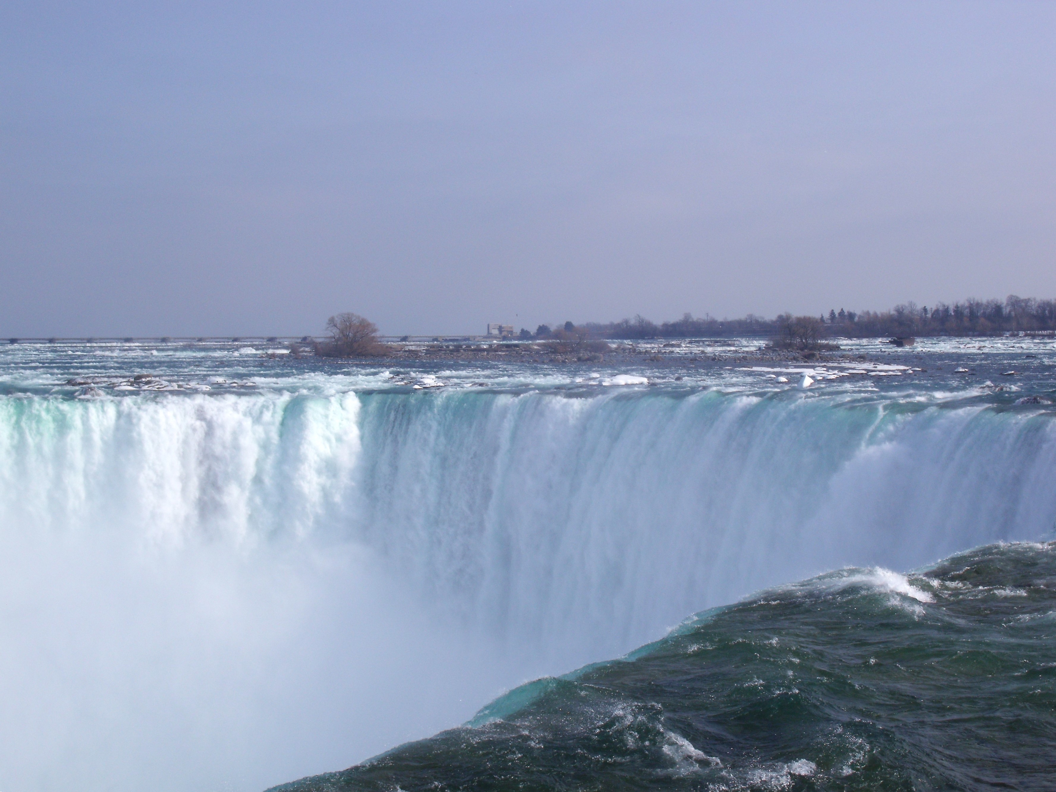
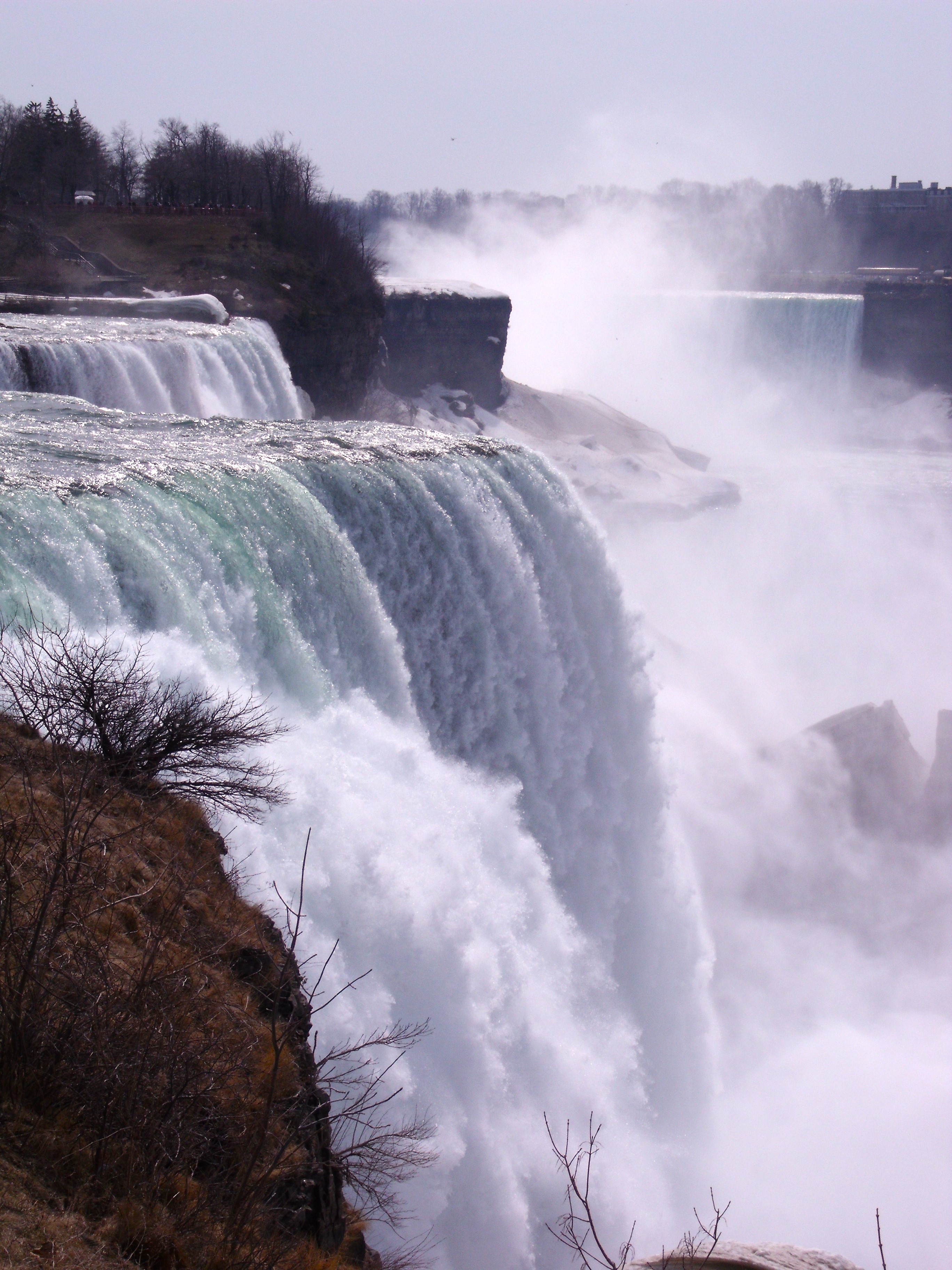
First, the Niagara River is the main conduit between Lakes Erie and Ontario, making it a massive. The river and the falls are absolutely majestic, a worldwide tourist attraction, and that has shaped the city around it (as has the fact that it hugs an international border).
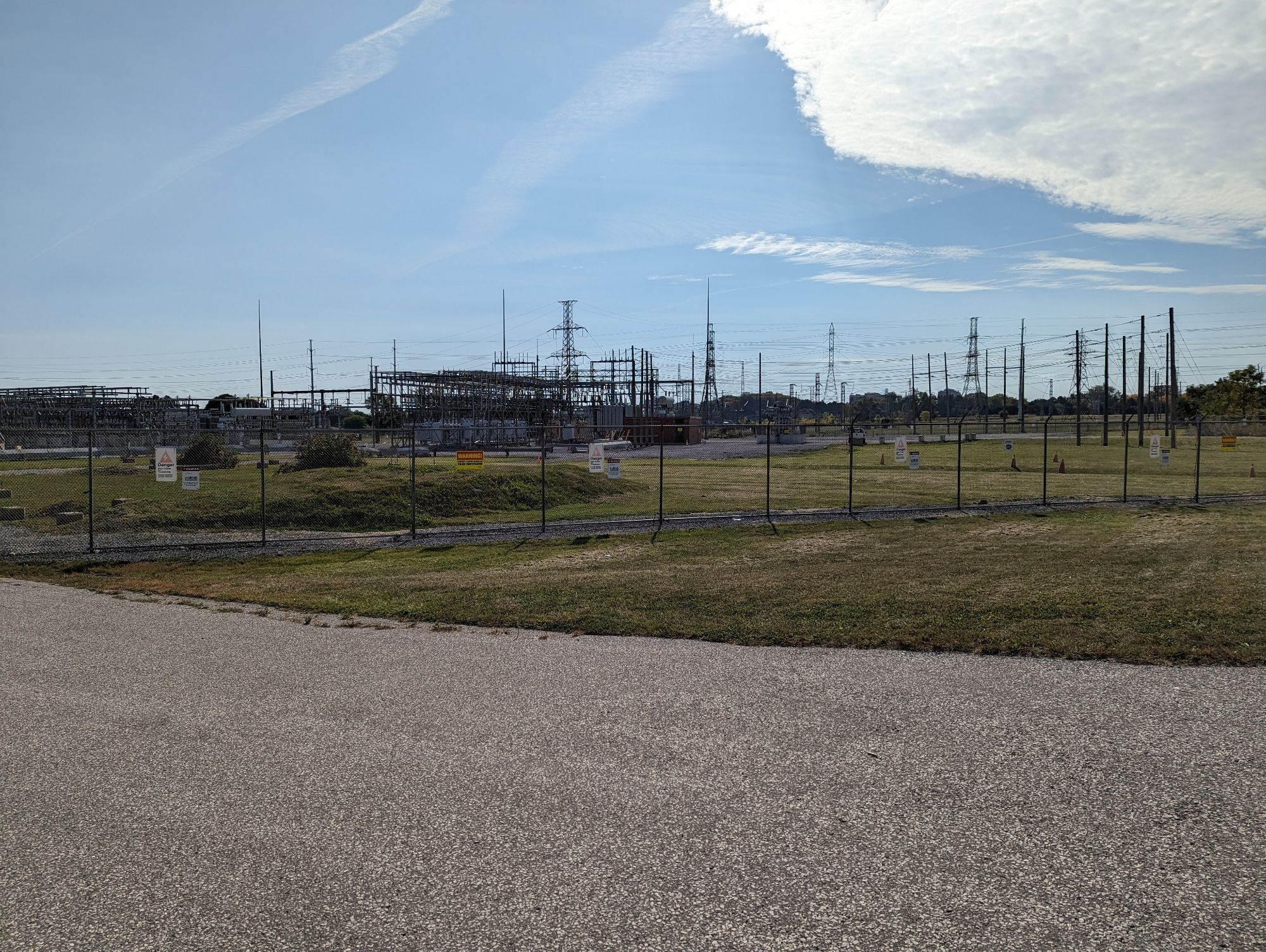
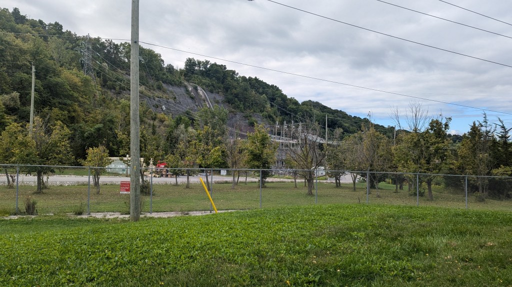
Second, Nikola Tesla and George Westinghouse first used hydroelectric generation at Niagara Falls, paired with alternating current to deliver power over large distances. Since then, hydroelectric power and the associated transmission has continued to shape the region, including tunnels, a canal reversing part of a river, a 700 hectare complex for two major generating stations, and a lake complex.
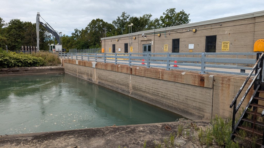
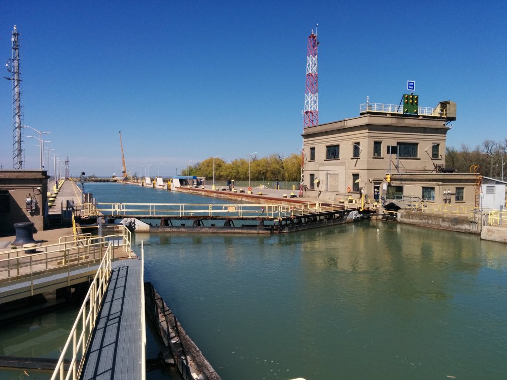
Third, the importance of shipping in the 19th and early 20th centuries pushed government and industry to find a route conquering the 100 metre vertical difference. This resulted in the Welland Canal, which has seen four iterations over a 200 year history, and considerably altered the landscape.
All of these, with the average spaces I usually explore and rapid population growth, make Niagara an attractive playground of where natural and built environments collide.
I’m excited for more adventures here. While I’ve made considerable headway, I’ll need some more time to finish some projects and analysis, so stay tuned for that.
This has been a pretty good summer. I’ve been busy with work and family, but I’ve carved out some time to look back at where this hobby and this website began, and charge forward on where my adventures are going.
First, I want to share a new video I published today. While I first purchased this domain over a decade ago, and have documented nearly 3,000 kilometres over the last 8 years, I don’t think I’ve fully explained where it all began. This video tells that story.
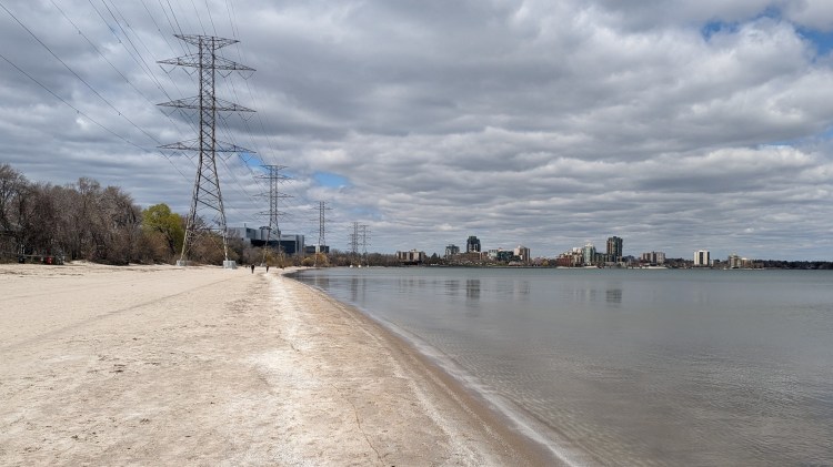
Second, I took a walk 7 years ago along the Etobicoke shoreline, and discovered it was more fractured than other parts of Toronto. I needed to do some spreadsheets, and I discovered that my observations were supported by data. Then I needed to publish that data, and my website was still on the old Blogger platform, which wasn’t conducive to handling more than…blog posts. So I migrated to my current platform, which is how my website looks the way that it does today.
I was interrupted partway through that walk by a (very kind) man who was new to Canada, but very passionate about his RC boat. I helped him find a good spot to go rip, but that meant I didn’t document my walk as fulsomely as I do now. So this past July, I re-traced my steps where Etobicoke meets Lake Ontario.
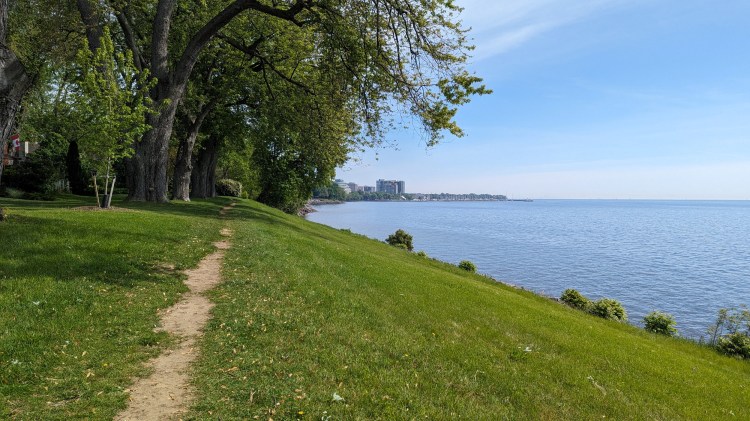
A walk along the shoreline in southwest Toronto, from Etobicoke Creek to the Humber River.
Lastly, as outlined in a previous post, I am expanding my area of coverage across the Greater Golden Horseshoe. I took my first walks in the west GTA over April, June and July, following the shoreline from Grindstone Creek in southwest Burlington to Lakeview Promenade Park in southeast Mississauga. There will be a video coming soon on these walks.
As part of my 2023 year-in-review, I said recording my walks on video was a precursor to expanding from the four cities (regions) I currently cover: Toronto, Kitchener-Waterloo-Cambridge, Guelph and Hamilton. The next frontier in Metroscapes was going to be the west Greater Toronto Area (GTA), the urban areas of Halton and Peel Regions.
Well, I decided that there was no need to hold back.
In 2024, I will aim to begin covering other parts of the GTA and Niagara. All of this together forms a geographic region that the province of Ontario refers to as the Greater Golden Horseshoe.
Realistically, I will still be travelling to the west GTA a lot, as it’s closer to (i.e. a shorter drive / bus or train ride from) my home base in Guelph. And it’s going to take some time for me to flush out project analyses for these new areas (I’m tripling my coverage area from 1,370 to 3,960 square kilometres after all!). But no more arbitrarily hold off from exploring other parts of the Horseshoe.
The Niagara River. Frenchman’s Bay. The central and eastern 407. The upper GO Barrie Line. Corridors from the Beck Generating Stations. They are now potential targets for exploring where natural and built environments collide.