This post was originally created in May 2022. I updated it in November 2023 to celebrate the completion of this undertaking.
There’s no doubt that Metroscapes was born out of a social media following. When I get some more time, I hope to continue sharing my adventures on social media.
But in today’s digital age, I can’t rely on social media platforms to retain the integrity of my years of work. That’s why I’ve been working to back stuff up from Twitter and host it here, on a domain I can control. Aside from securing my work, this should have some side benefits such as greater cross-posting of content between pages.


I started creating new pages to re-document my walks in early 2022. And as I worked through a list of 140+ walks, I took some notes.
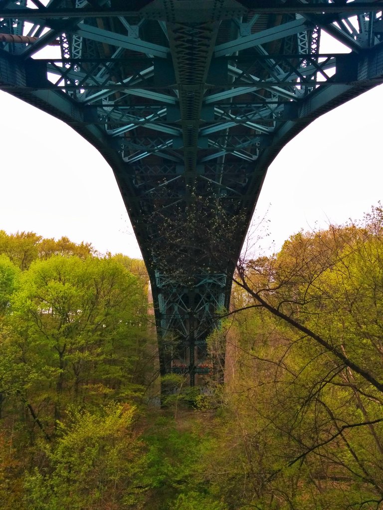
The walk pages include the tweeted images, which are kinda potato quality, especially the Nexus 5 ones. That’s on purpose to keep under my site data cap. One day, I’ll figure out what to do with the high quality originals. But I dug through my collection for some of the earliest walk threads (circa 2016/2017), the ones that were subject to 120-character limits and full of rambles.

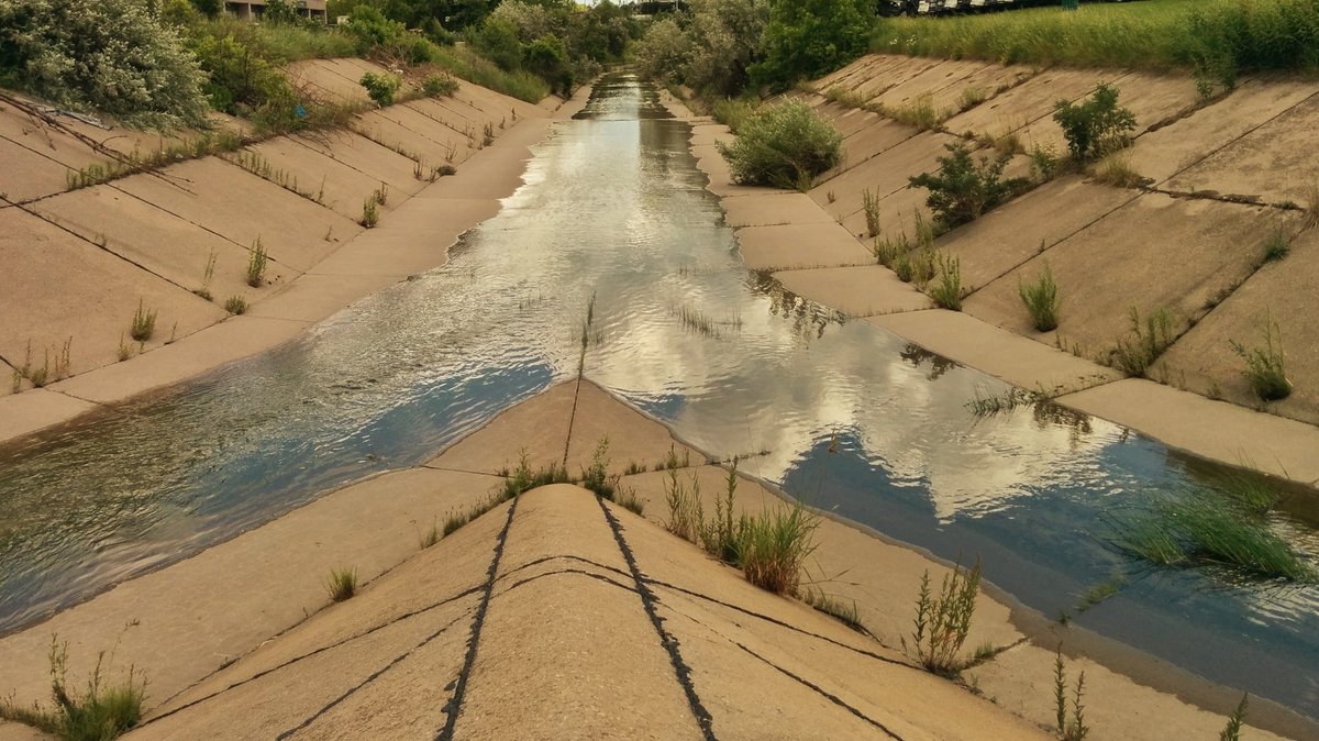
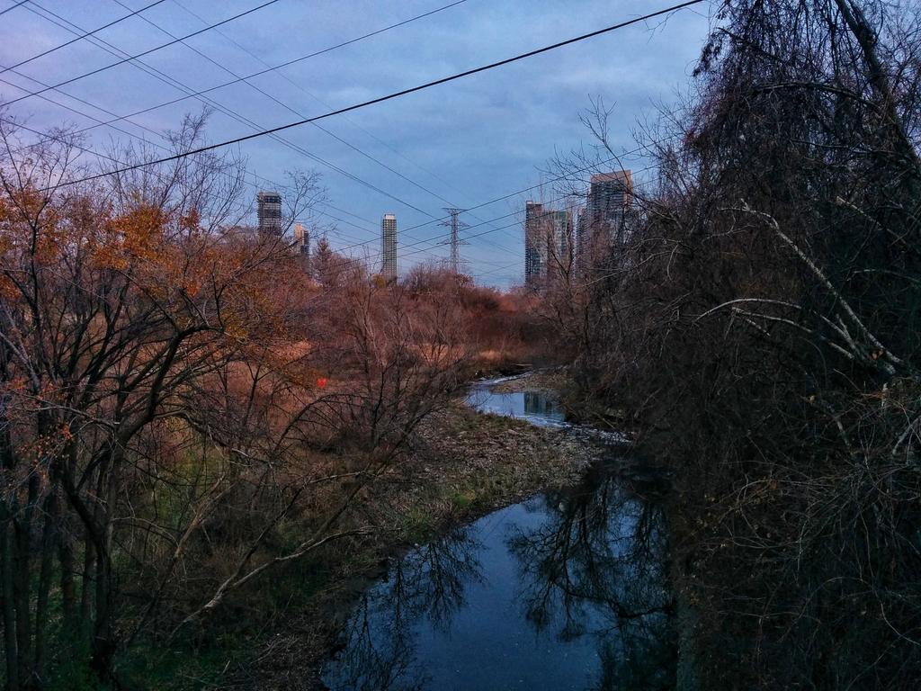
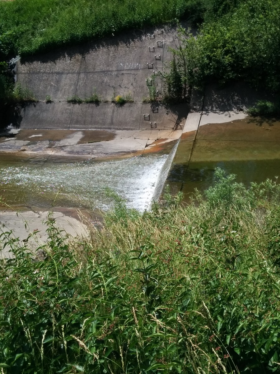
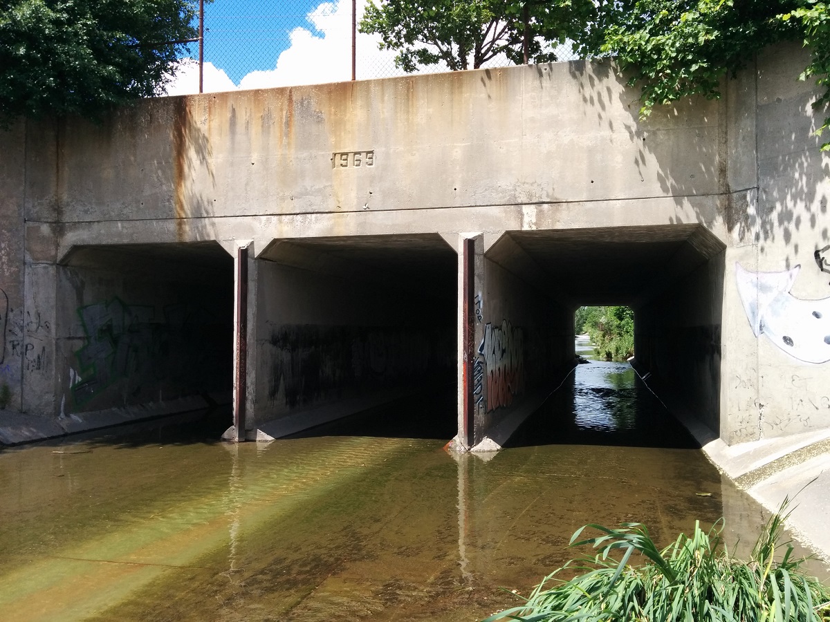
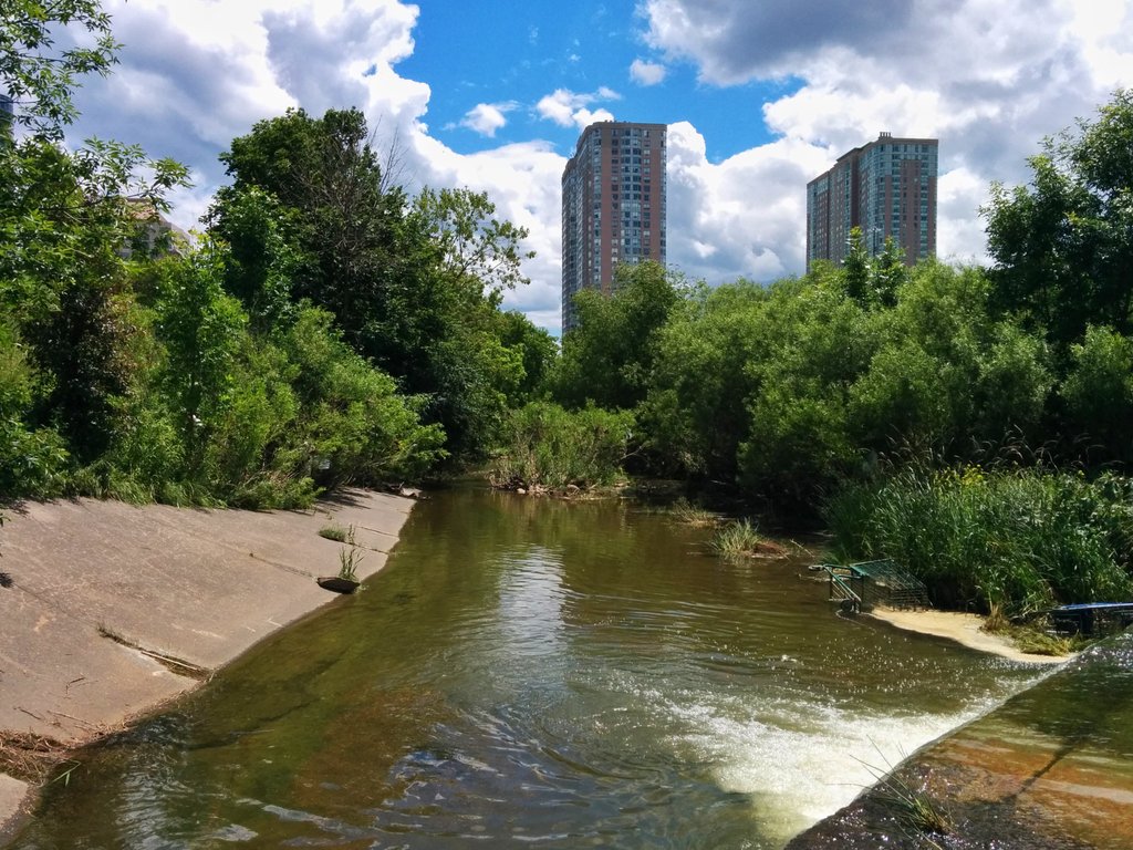
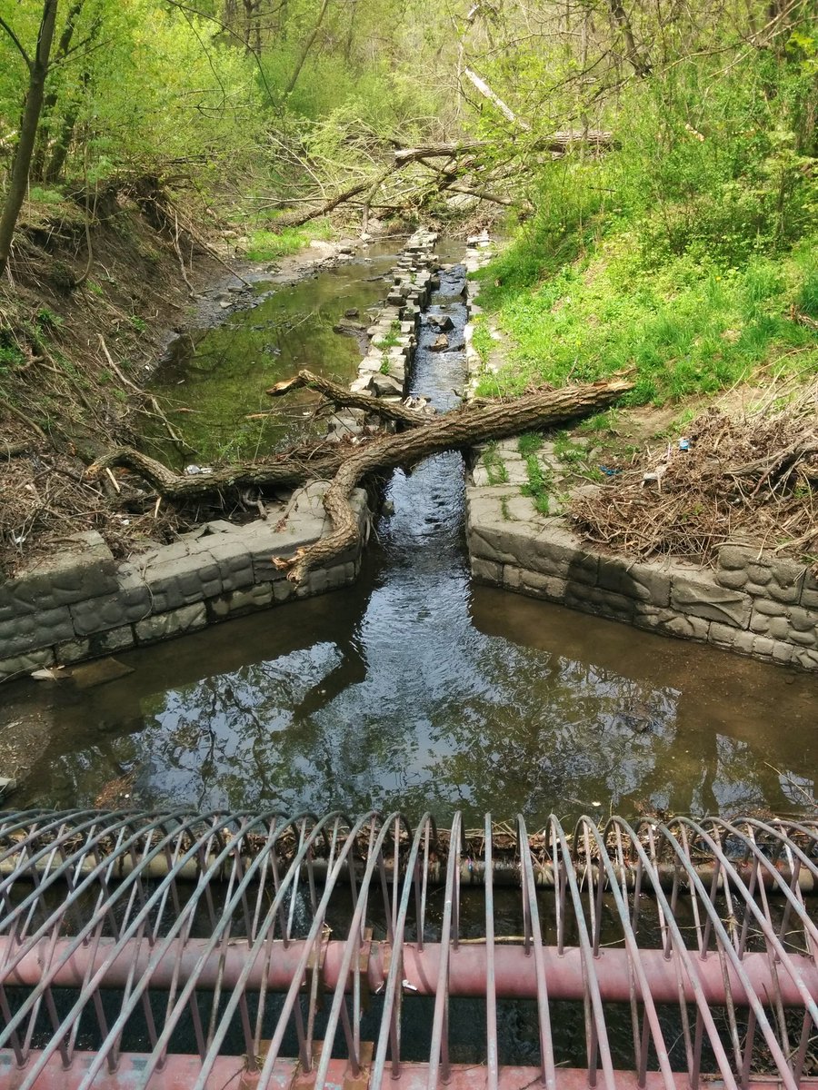
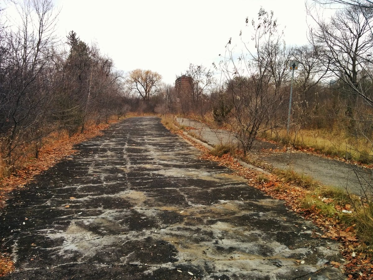
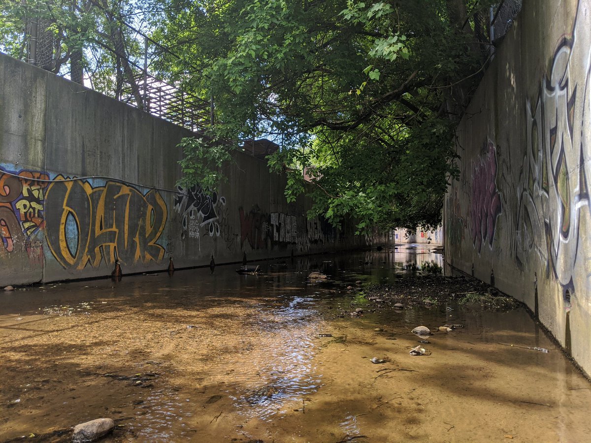
My tweets were still choppy and left gaps. For example, a walk from June 24, 2017 along East Highland Creek’s East Branch left out nice shots and descriptions of how it stayed in a concrete channel (with increased green through the cracks) till it hit the 401.
I migrated a walk from December 9, 2017, which was the first one since getting the 280 character limit activated in Canada. Clearly I was still getting used to it, but it made for better threads.
Getting into mid-2018, my written documentation was getting flushed out, maxing the 280-character limit. I began snapping some my favourite Toronto shots.


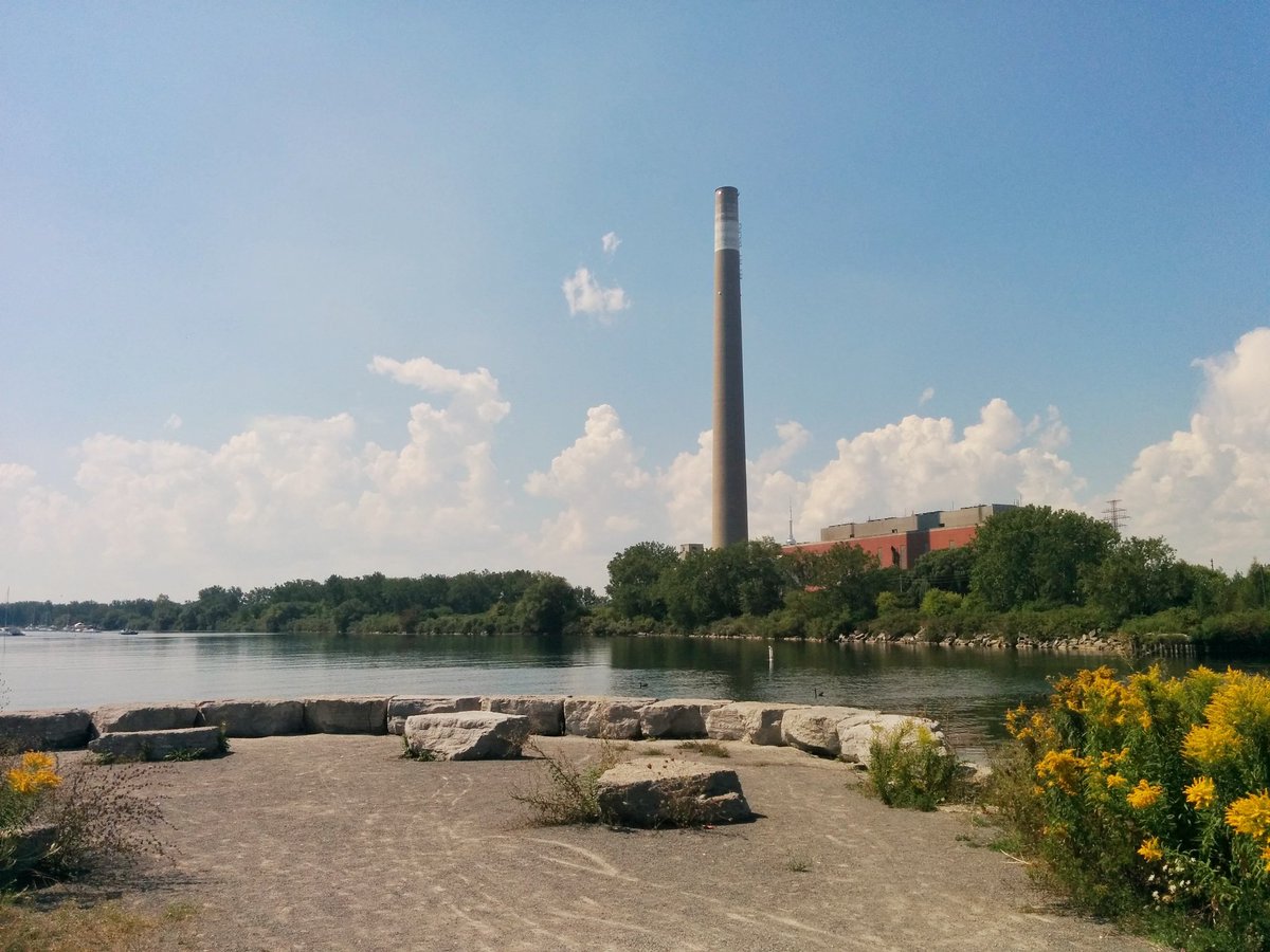
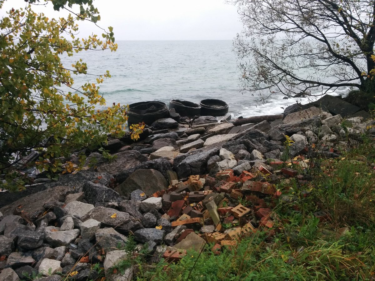
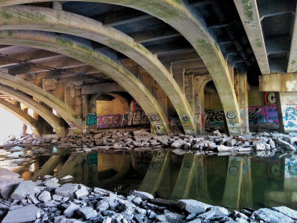
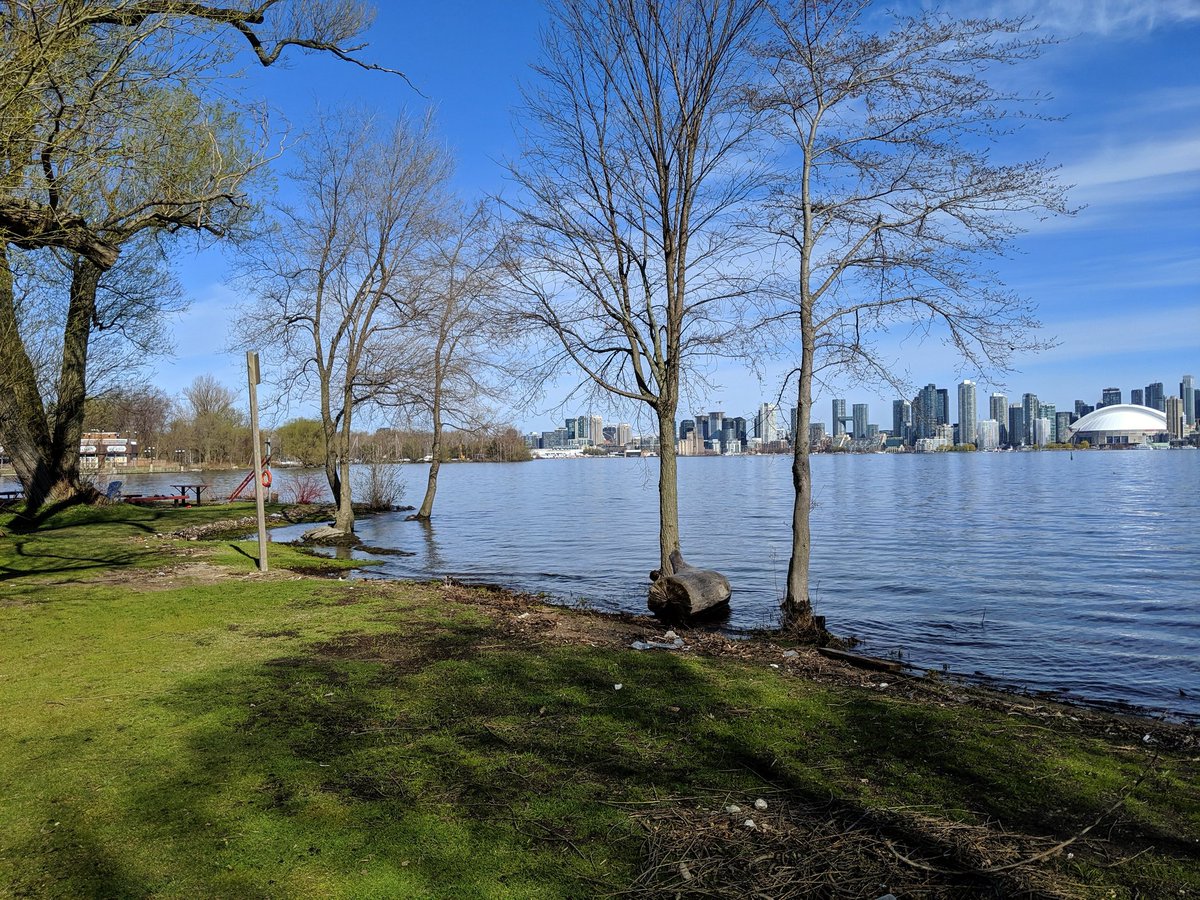
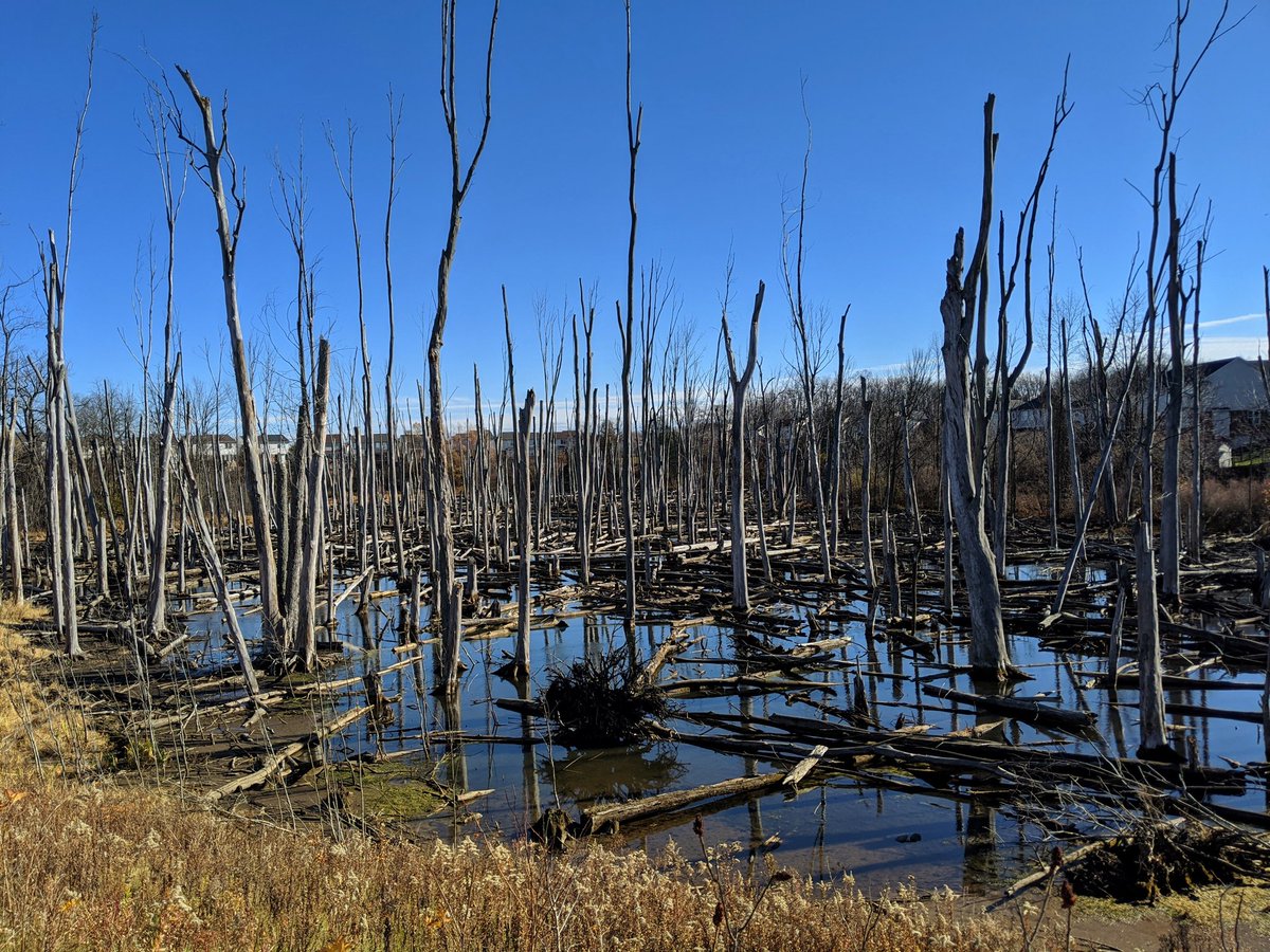
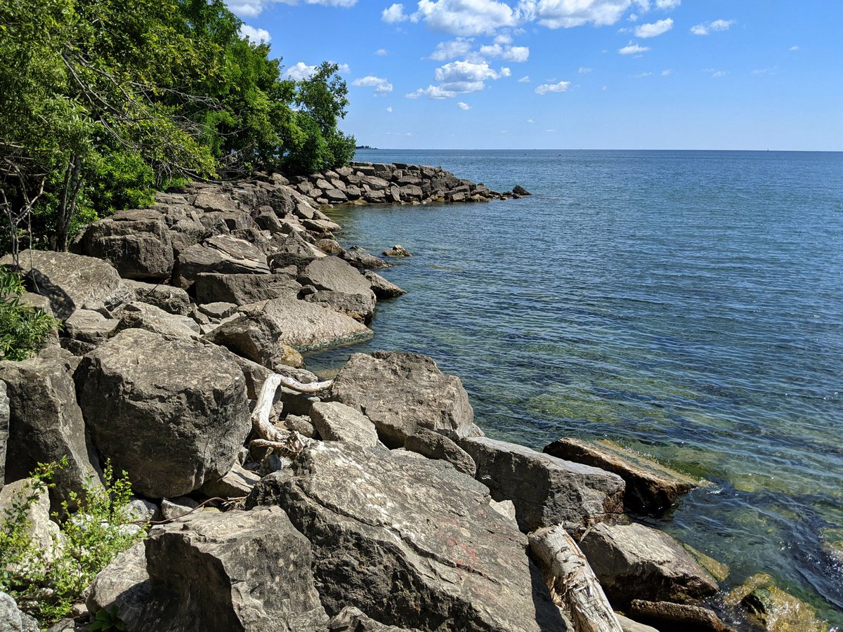
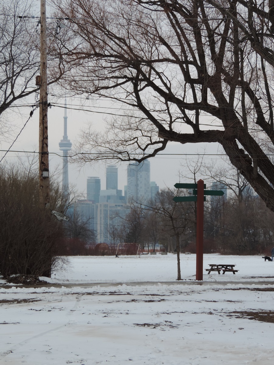
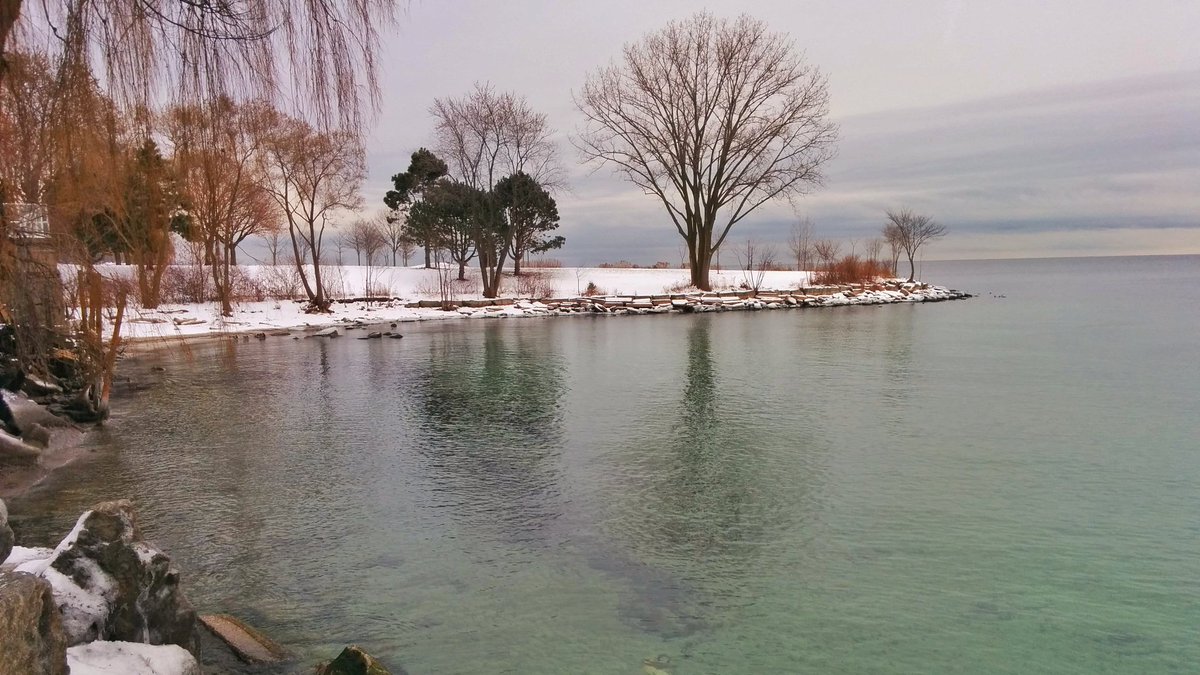
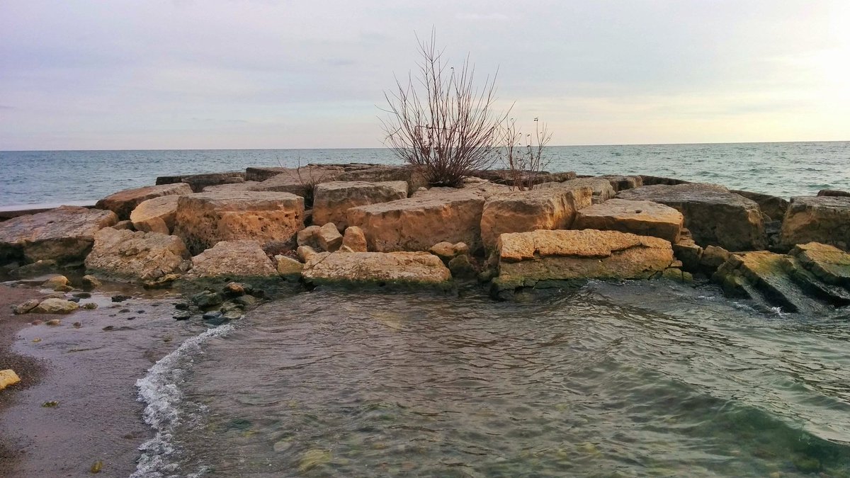
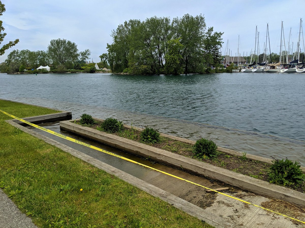
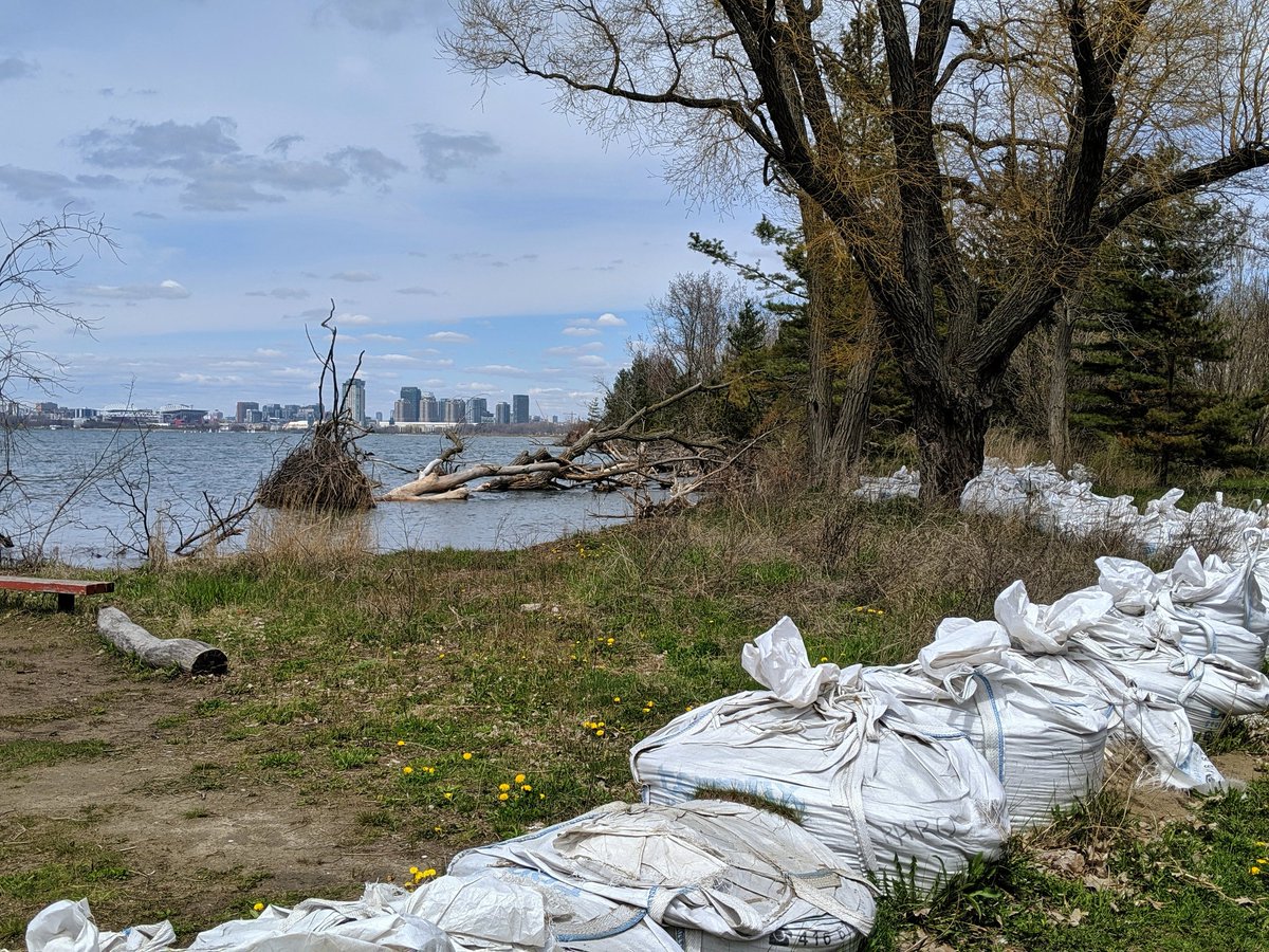
It’s funny when you end up documenting a minor notable event in Ontario history. As I drafted pages for 2019 walks, I was reminded that was the year Lake Ontario hit record levels. How it disrupted the metroscapes is something else to look back on.
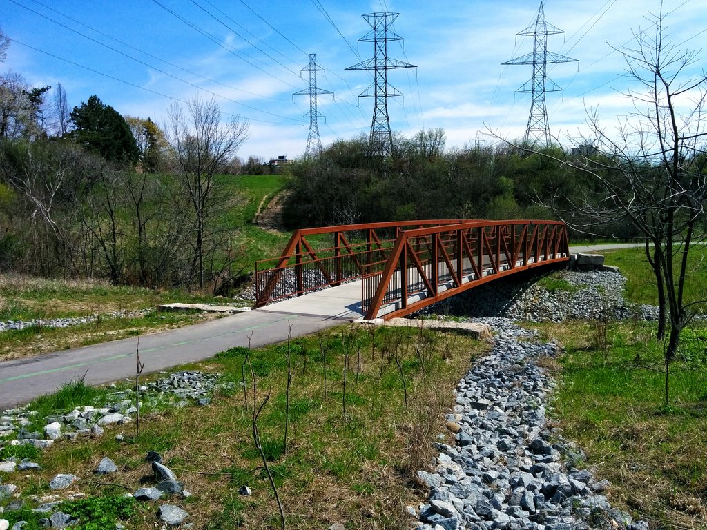
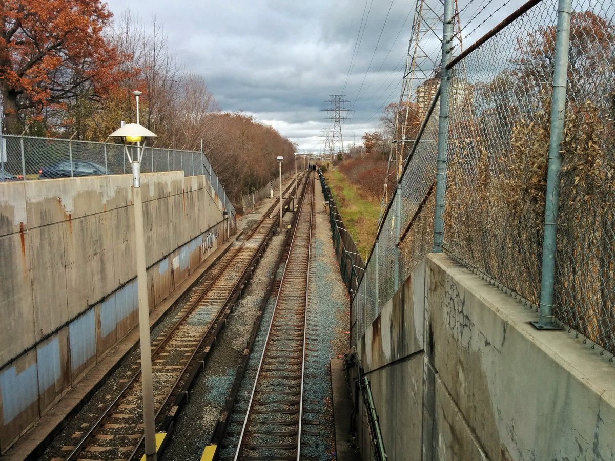
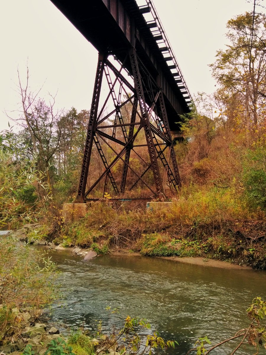
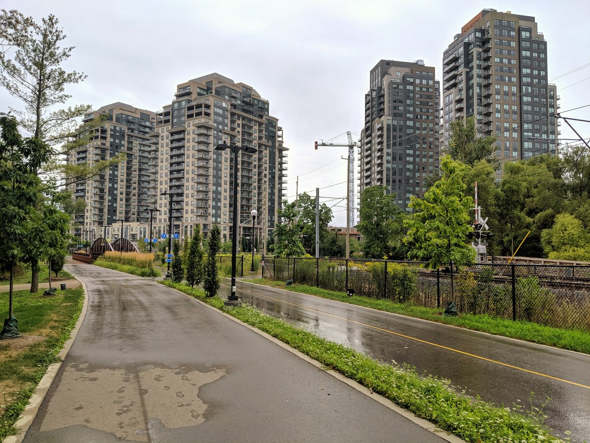
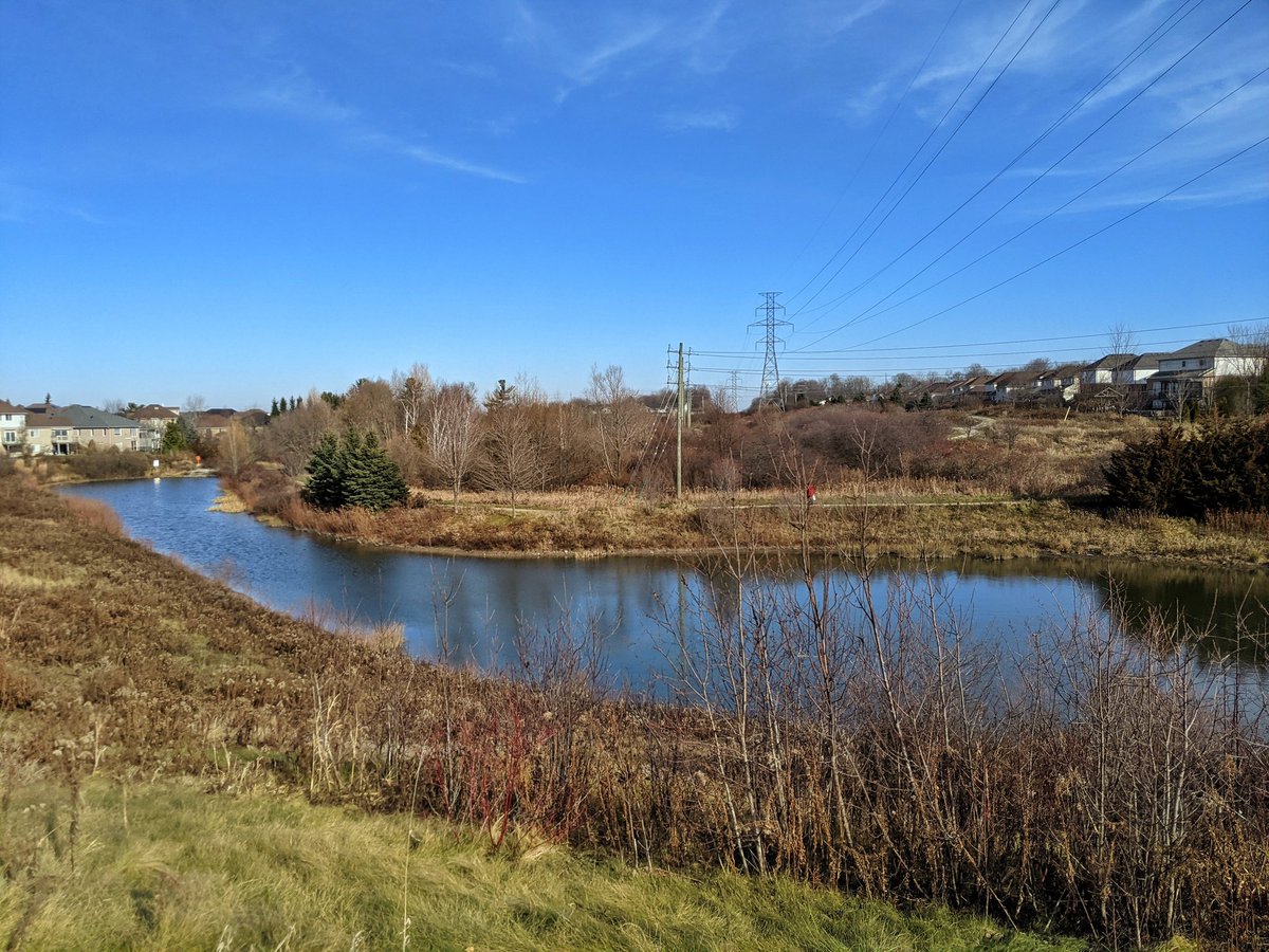
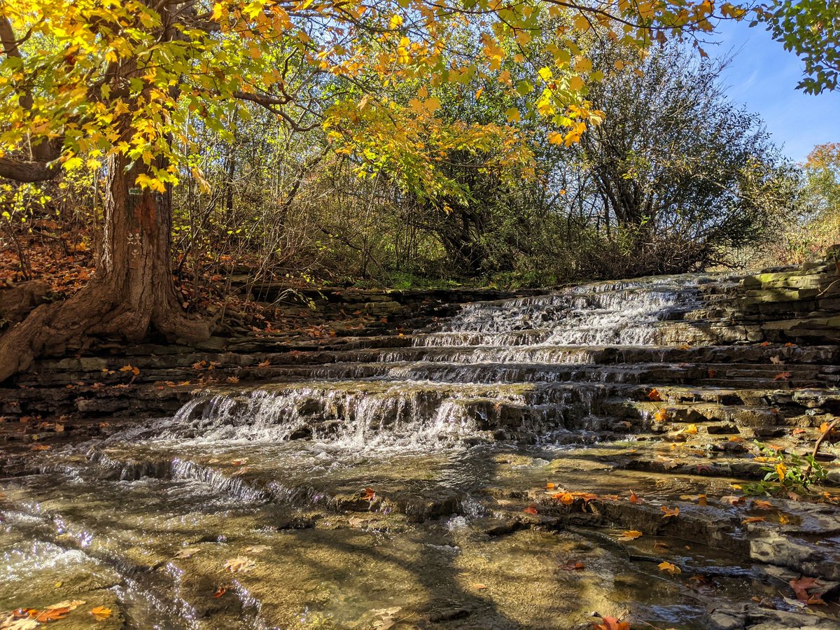
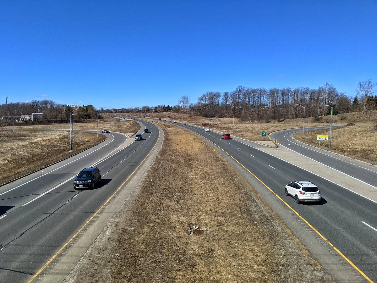
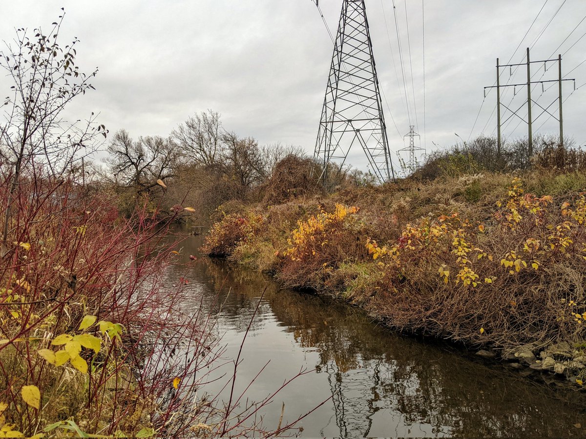
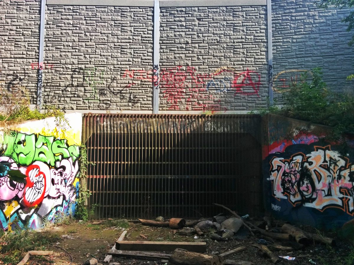
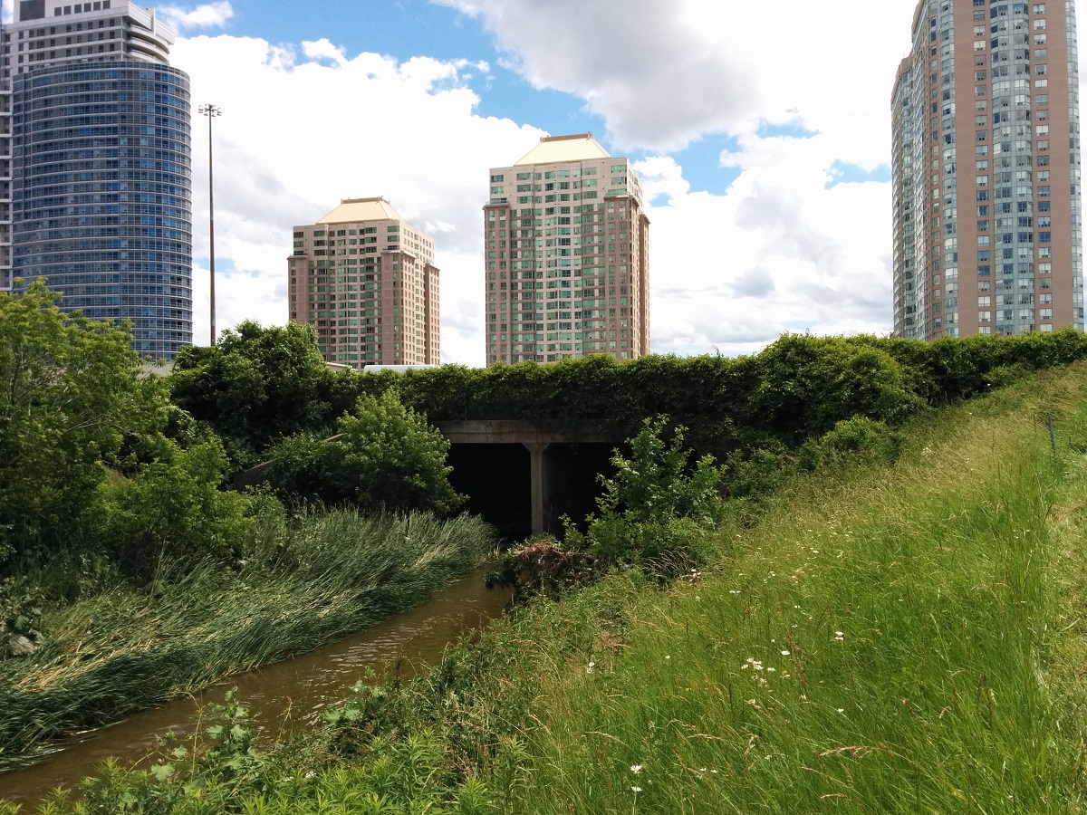
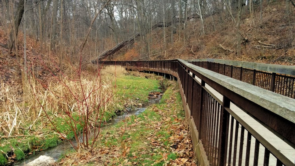
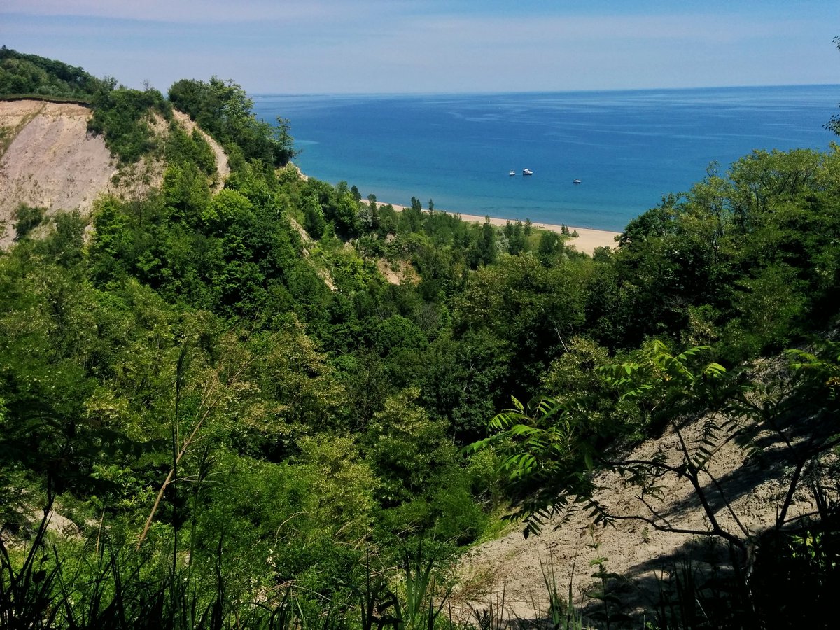
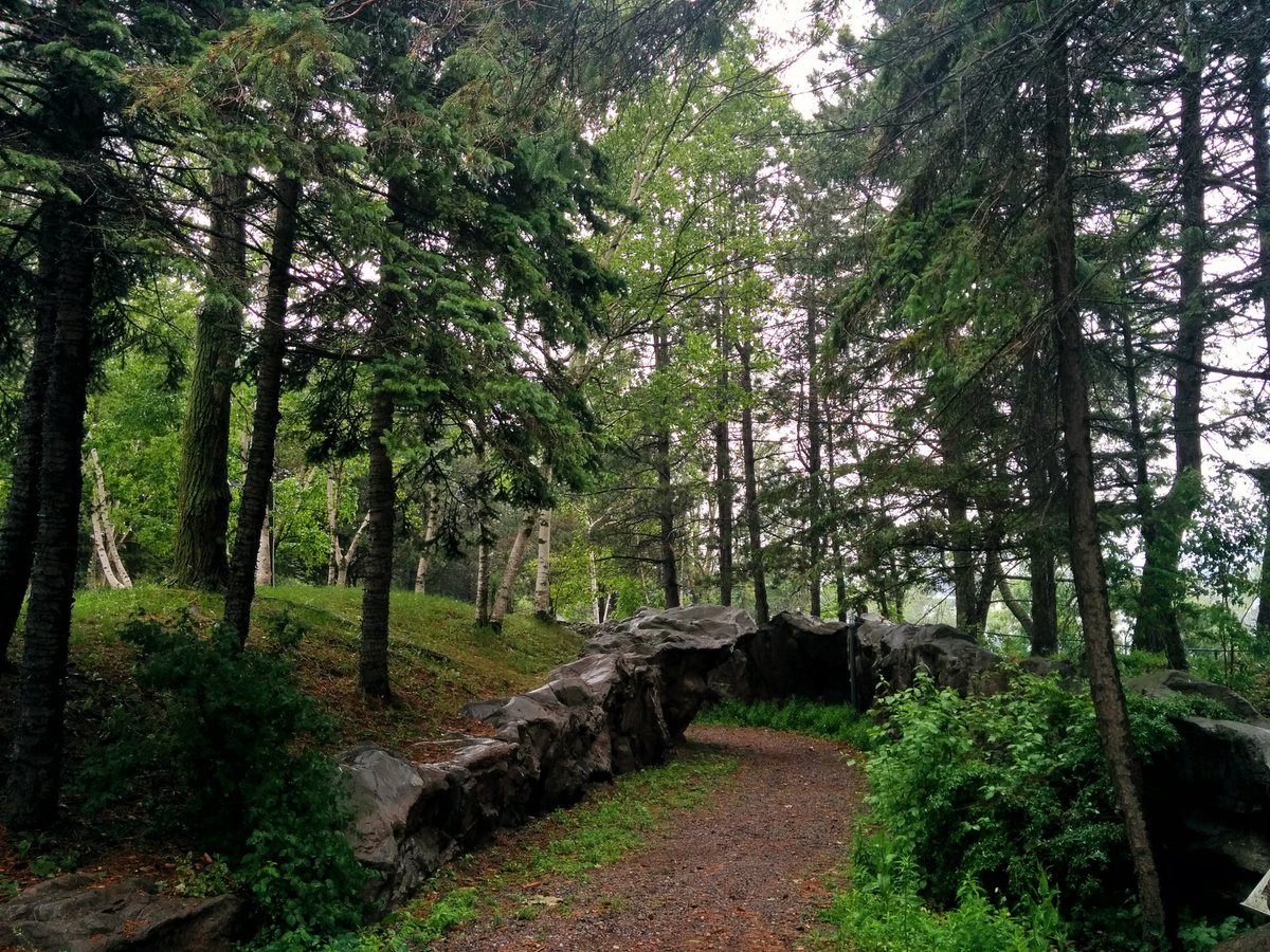
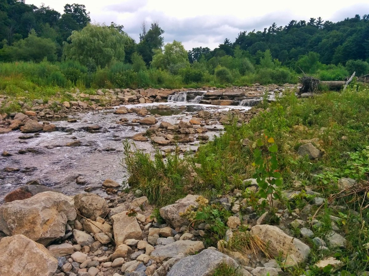
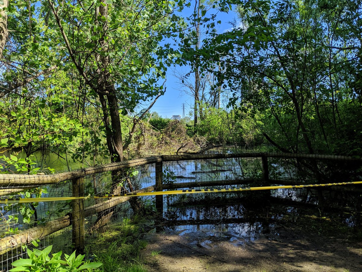
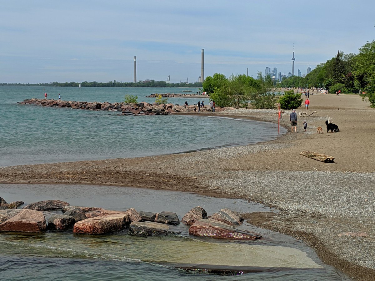
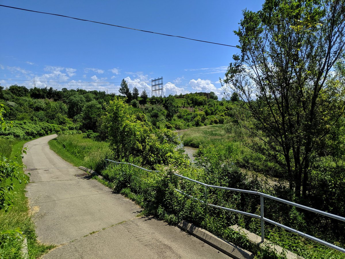
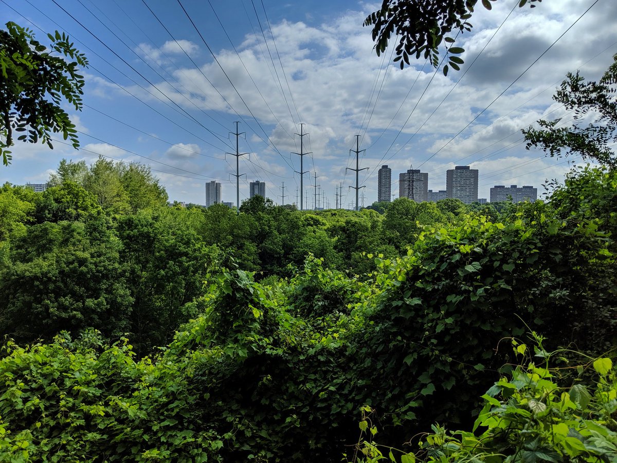
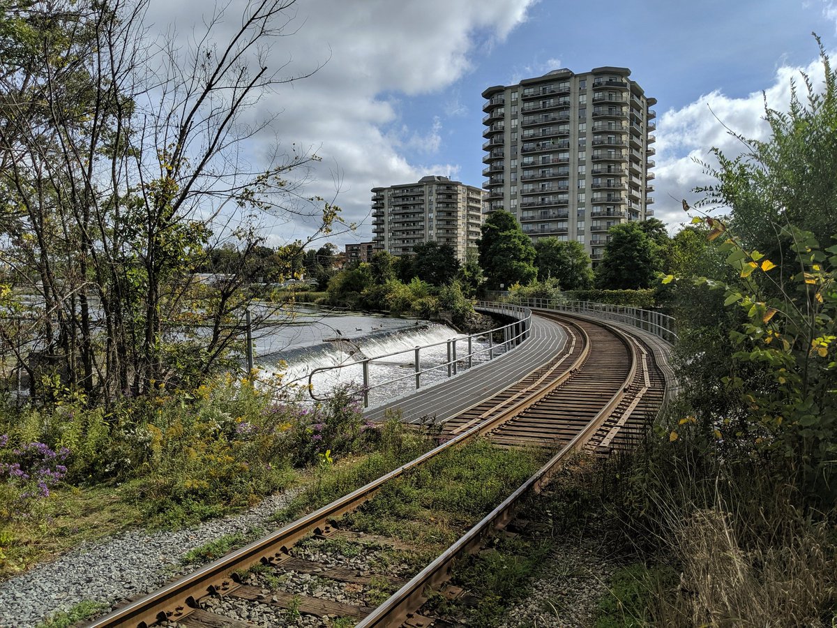
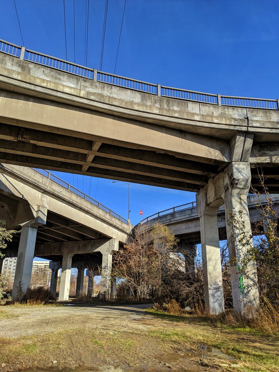
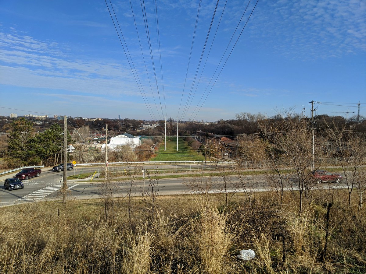
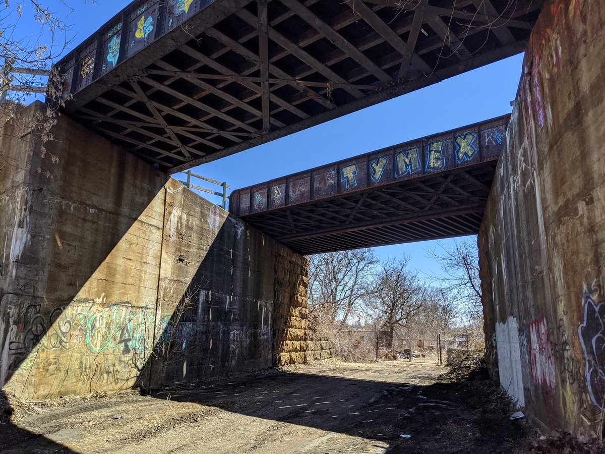
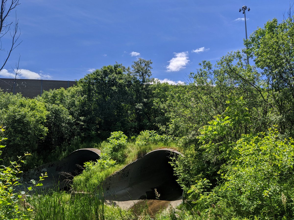
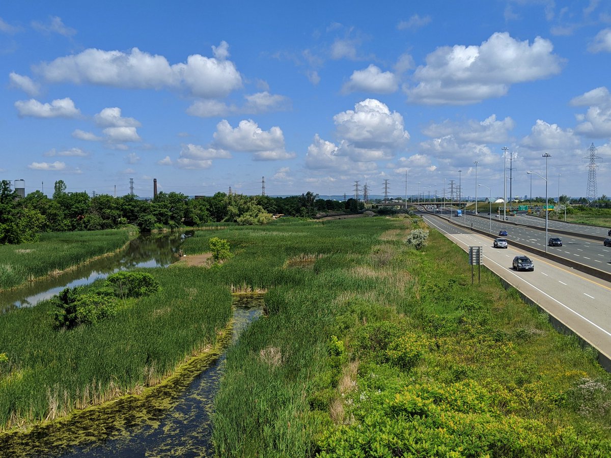
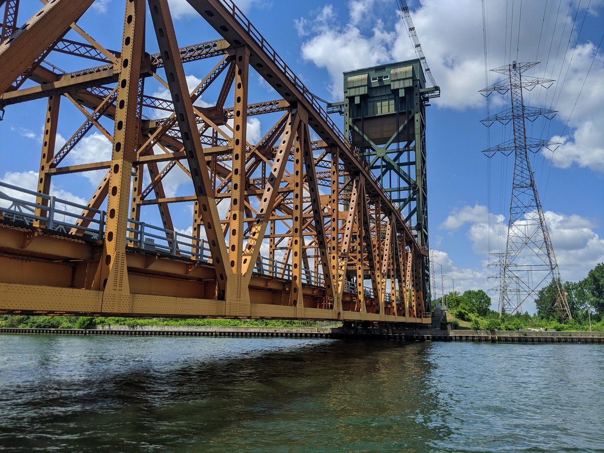
2019 also marked my last year living in Toronto and I was able to maximize the benefits of planning my walks, covering ravines, shorelines, hydro corridors, railways and highways. All elements of what I do.
After that summer of fun, I took my first walks in a new region, with the website fresh from being morphed from a Toronto-centric photo album into a multi-city project. But I still made time to return to where it started, especially if it meant walking alongside a key inspirational figure for my exploration of the city.

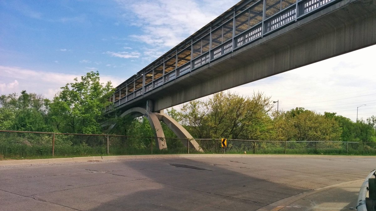
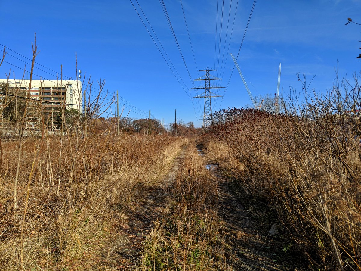
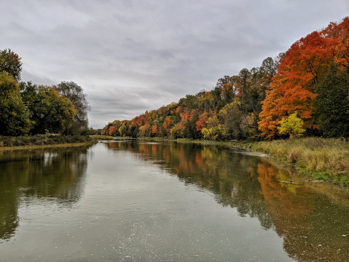
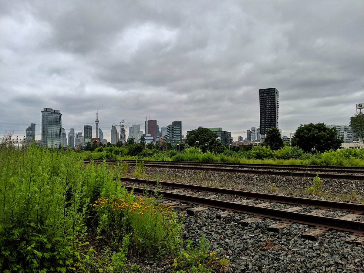
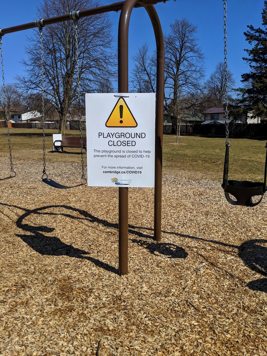
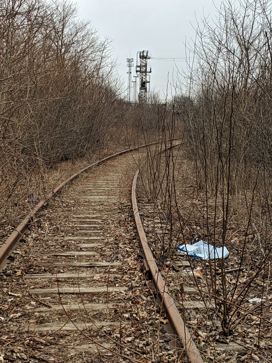
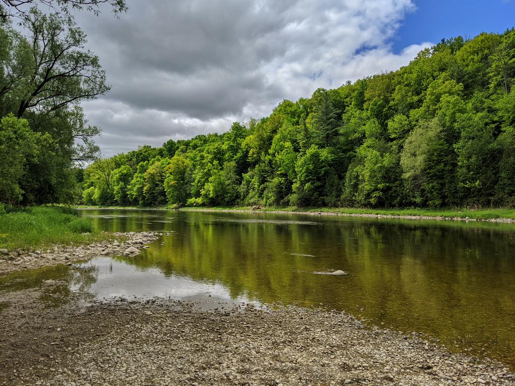
My first walk after a global pandemic was declared was strange. Short walks along utility corridors and railways, constrained to a small radius. It seems like a lifetime ago. But learning more about the virus, gathering the courage and physical strength for longer stretches, and yearning for the beautiful weather brought me back to the rivers and creeks, urban and natural.

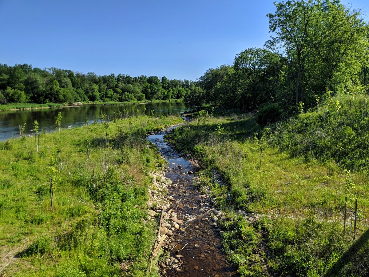
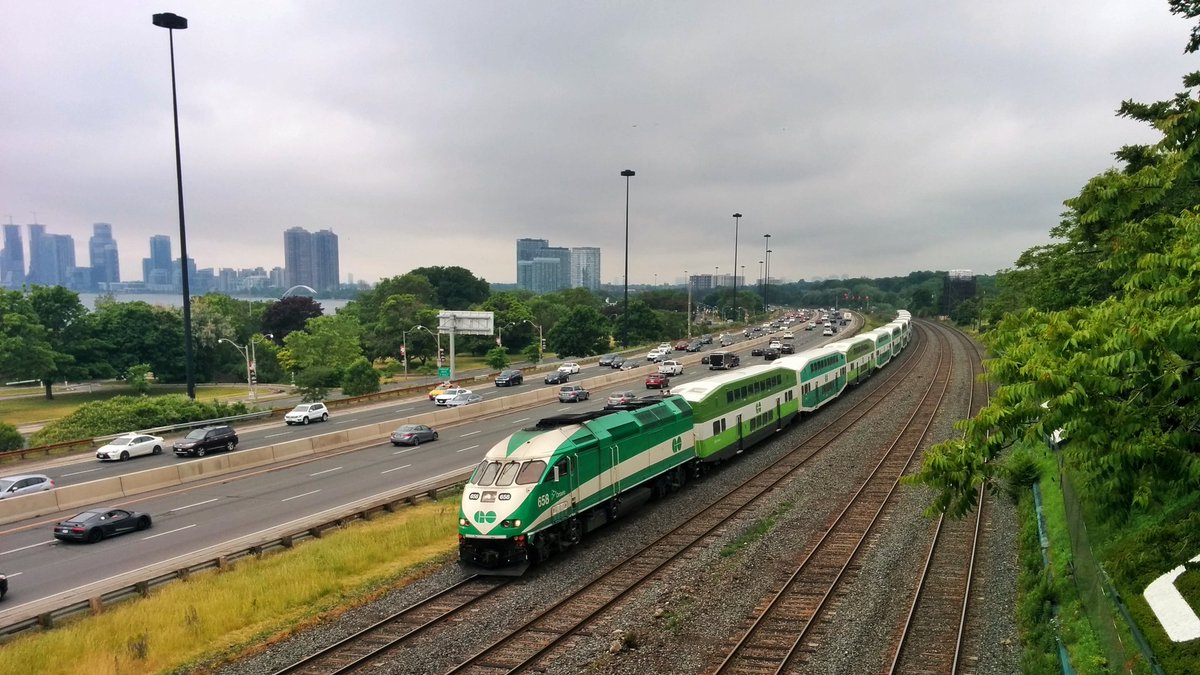
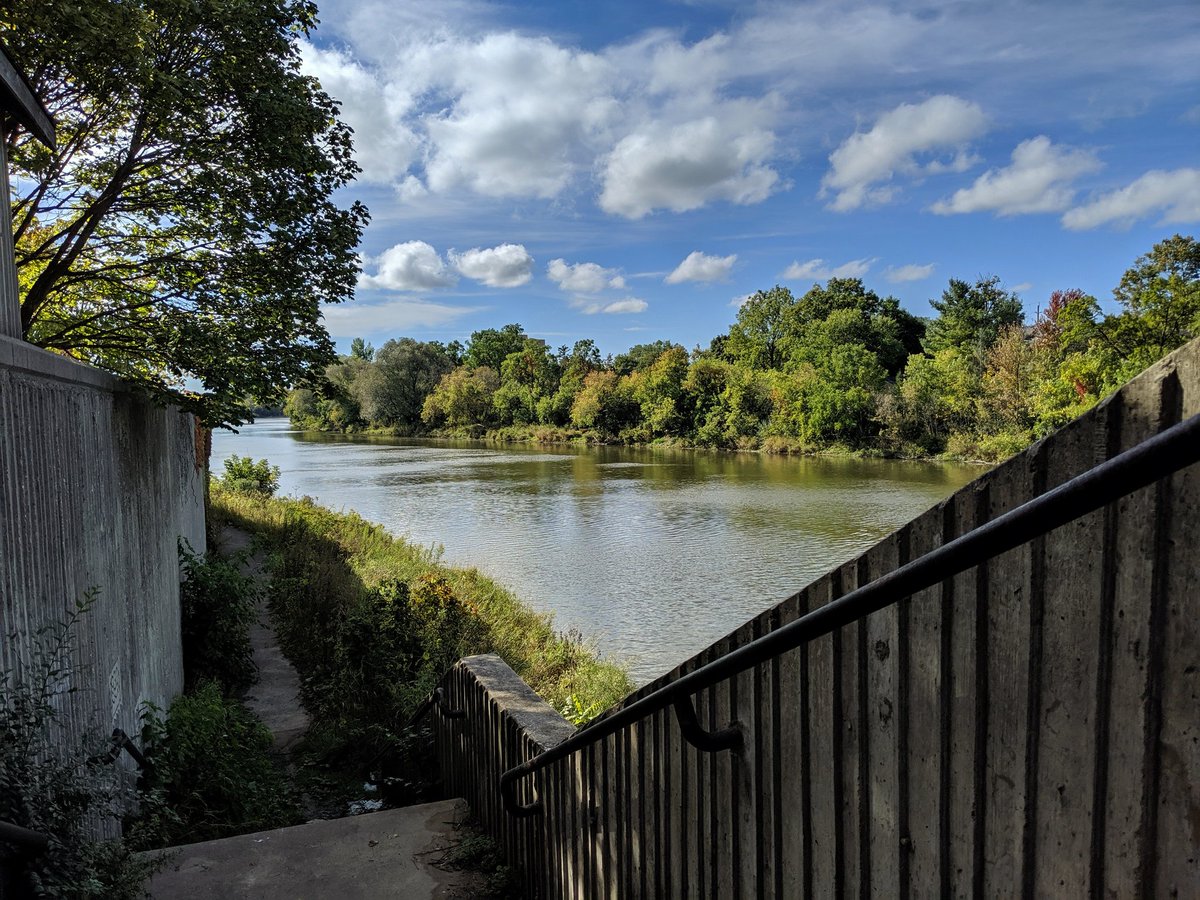
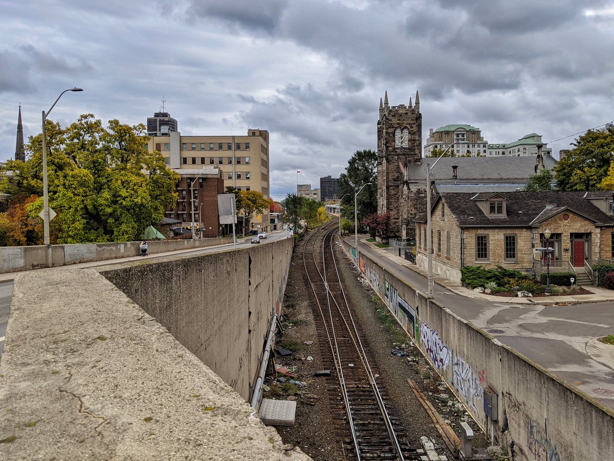
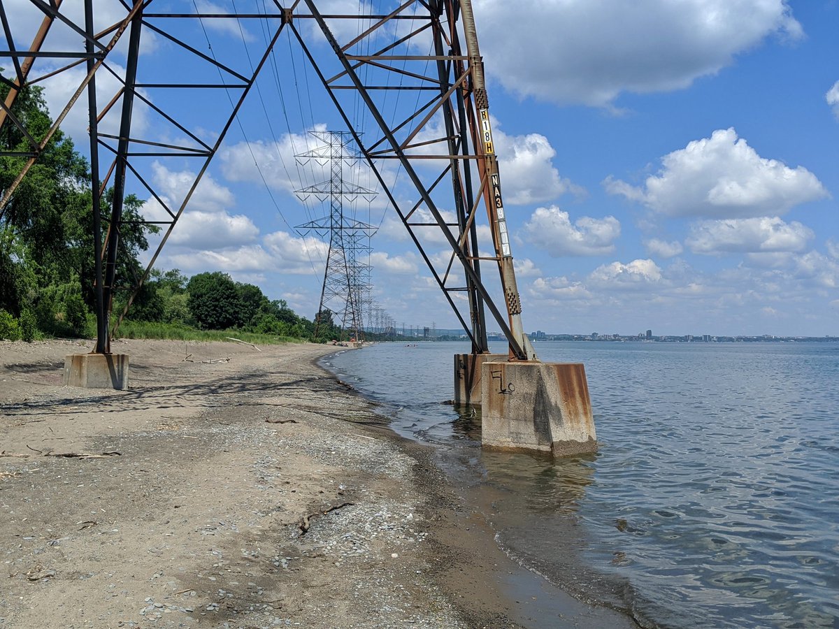
Later that year, despite the pandemic, I took the leap from a project exploring where I live, to a truly multi-city project. I started exploring in Hamilton. Taking public transit again allowed me to tackle a wide swath of area.

Anyway, after 8 months, I finally uploaded 5,647 of the pictures I had taken to that point. I created 126 pages for most of my walks, and filed another 40 walks into an archive. But I can tell you being able to create new projects or blog posts, and easily recall from this collection has been one of the greatest things I’ve ever made.
I hope you enjoy what I have made, and what I will make for years to come.

4 thoughts on “Migration”